



Escursioni in Costa Rica: sul Camino de Montes de Oro
Advertisement: Article in collaboration with the Instituto Costarricense de Turismo
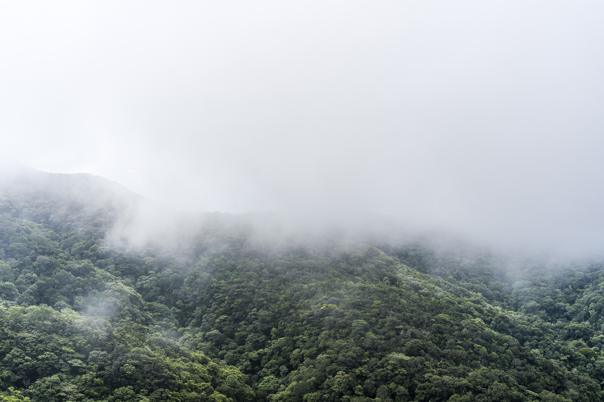
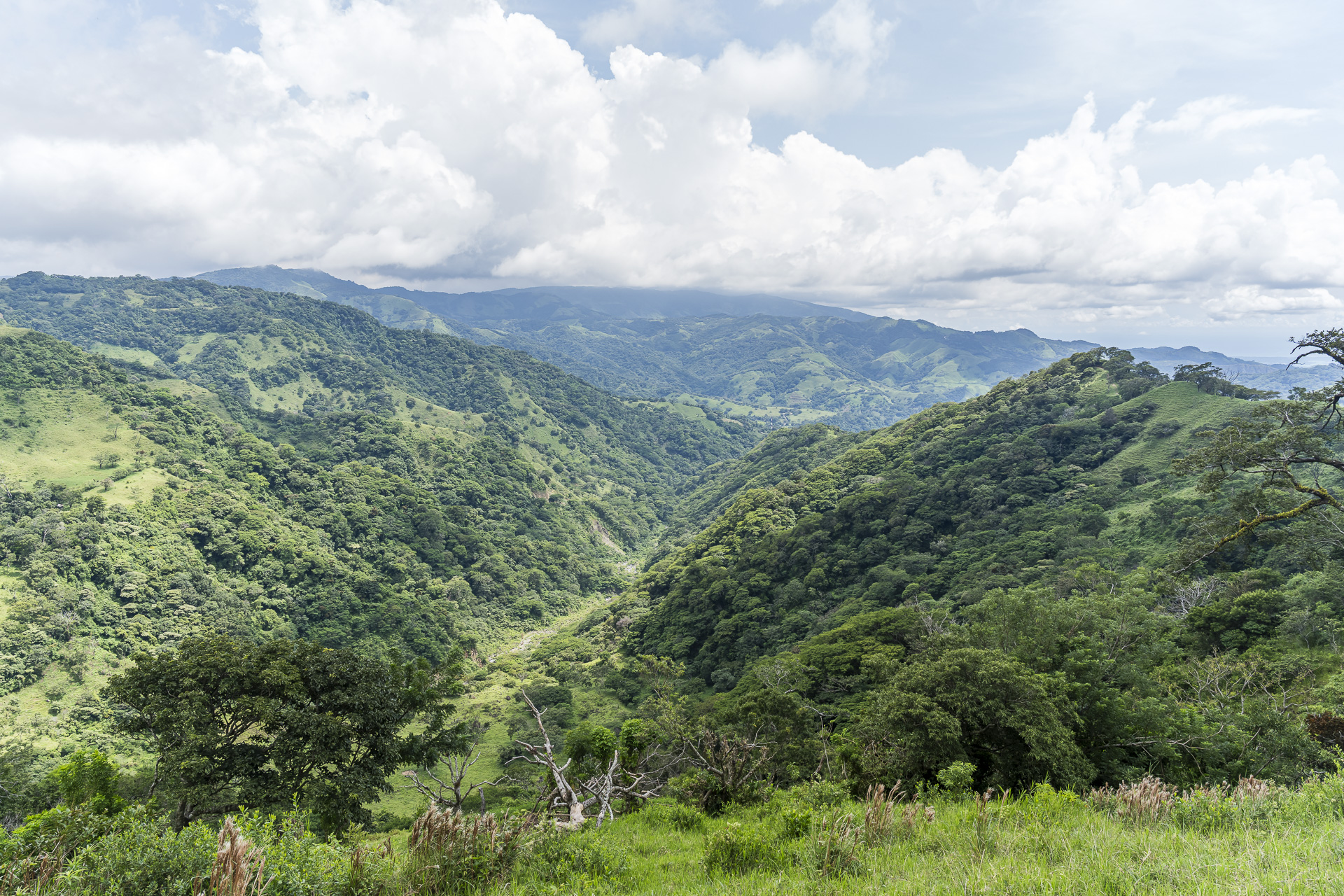
Misty forests with lush vegetation, narrow paths through open pastureland and frequent views all the way to the Pacific: the Camino de Montes de Oro leads through a corner of Costa Rica that only a few tourists have explored so far. The new trekking route connects Miramar in the inland of the Pacific coast with Santa Elena in the well-known Monteverde cloud forest region in a total of six hiking stages. Together with Urritrek, we scouted three selected sections of this route.
Costa Rica away from the well-known hotspots
In the summer of 2007 I set off on my first big trip: seven weeks through Central America. Our first stop was Costa Rica. What remains for me are a few blurry photos and memories of places like the Irazú volcano, Tortuguero, or Monteverde. Where did we stay back then? No idea! With a Lonely Planet in hand we chose our accommodation spontaneously on site. To this day I regret that, due to my lousy documentation, I can only reconstruct that trip in fragments. At the same time it is the reason I started blogging later. All the more I was pleased when, at the end of September almost 20 years later, I returned to Costa Rica. This time the focus was less on the well-known sights and more on nature and hiking. The Camino de Montes de Oro in the province of Puntarenas fits perfectly: family-run accommodations in small mountain villages, remote and partly overgrown paths, and insights into daily life in Costa Rica’s rural regions.
In this article I share our impressions from three days of hiking on the Camino de Montes de Oro. You’ll also find a hiking map with the GPX track of our tour variant for each stage.
Overview of the Camino de Montes de Oro
The Camino de Montes de Oro connects Miramar in the province of Puntarenas with Santa Elena in the Monteverde region. The trekking route is run by the company Urritrek, which was founded in 2019 by the two Costa Ricans Juan ‘Juancho’ Chavarría and Andrés Meneses Ovares. The two have already been involved in the development of the Camino de Costa Rica contributed to a roughly 280-kilometer-long long-distance hiking route that traverses the country from the Caribbean to the Pacific coast.
With the Camino de Montes de Oro they, together with local guide Eliseo Hampton, pursue the same goal: bringing travelers closer to Costa Rica’s nature and culture away from the well-known sights. By working with local guides and accommodations, they also create income opportunities for the local population.
The six stages in total run from Miramar, not far from the Pacific coast, through the little-visited mountain region of Montes de Oro to Monteverde. “Montes de Oro” translates as “Gold Mountains” and recalls the gold mining that has shaped the area to this day.
We were fortunate to undertake three selected hikes along the route together with Eliseo, who himself comes from the Miramar area. It quickly became clear how much there is to discover in this little-known region.
1. Hiking day: on old paths from Miramar to Zapotal
The starting point of our first day of hiking is Miramar. The night before we had stayed near San José’s airport. Juancho picked us up there as early as 4 a.m. Shortly after 6 a.m. we arrived in Miramar, where Eliseo at the Soda Donde Quinois already waiting for us. The only restaurant in town where you can get a traditional “Gallo Pinto” before 7 a.m. A little something to eat won’t hurt, because about 1,000 meters of ascent lie between us and our day’s destination in Zapotal.
There are several reasons for the early start. For one, hiking in the early morning is far more pleasant given the high temperatures and humidity. We are also still in the rainy season, which on Costa Rica’s Pacific coast typically runs from May to November. While mornings are often still sunny, clouds frequently roll in around midday and afternoon showers are to be expected.
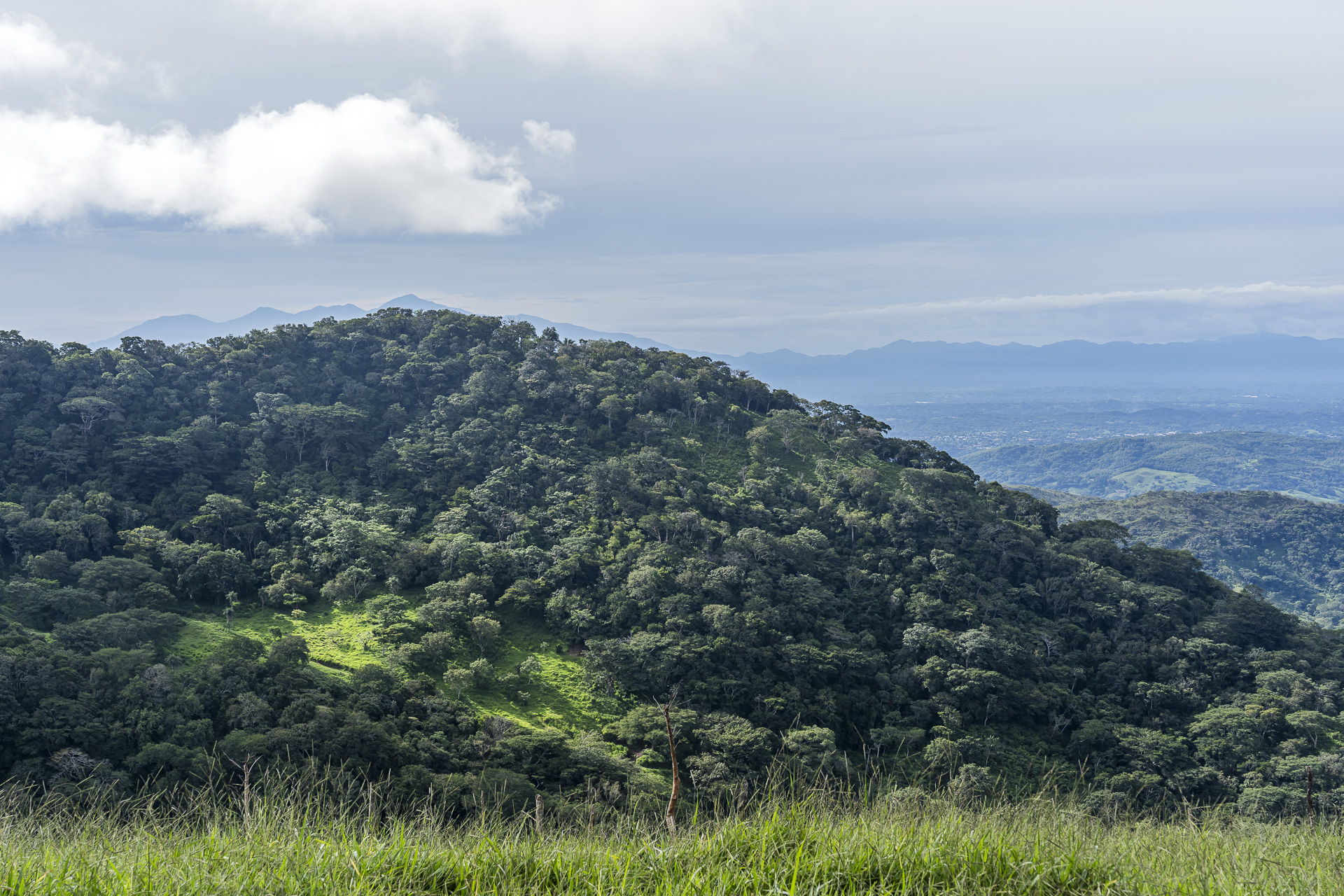
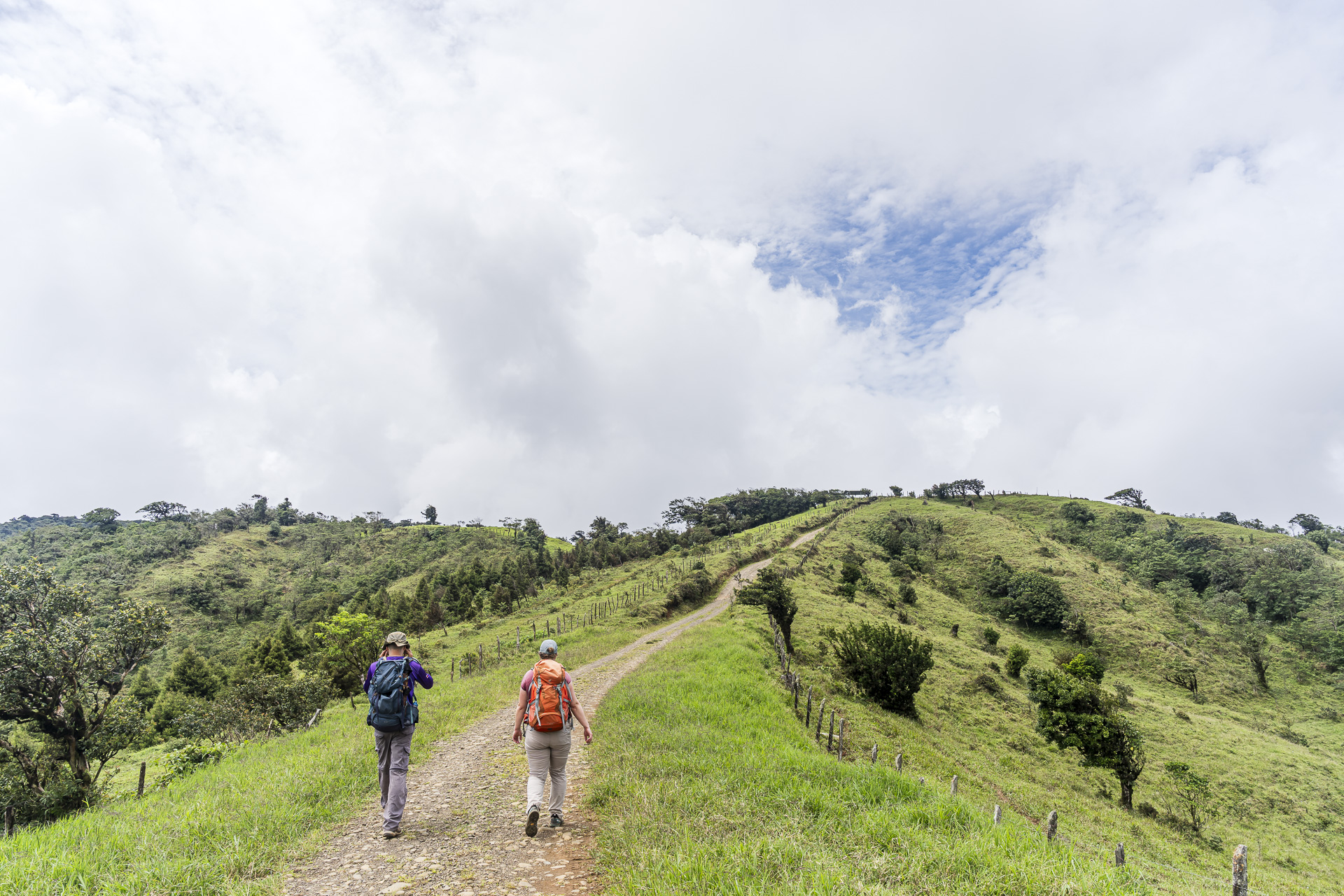
Juancho takes on the role of driver for the next few days and brings our luggage to each new accommodation. In the meantime we sling on our daypacks and follow Eliseo up a fairly steep climb. Soon the view opens up over the green ridges all the way to the Pacific.
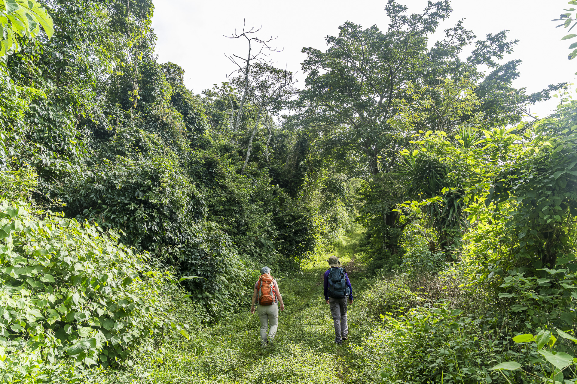

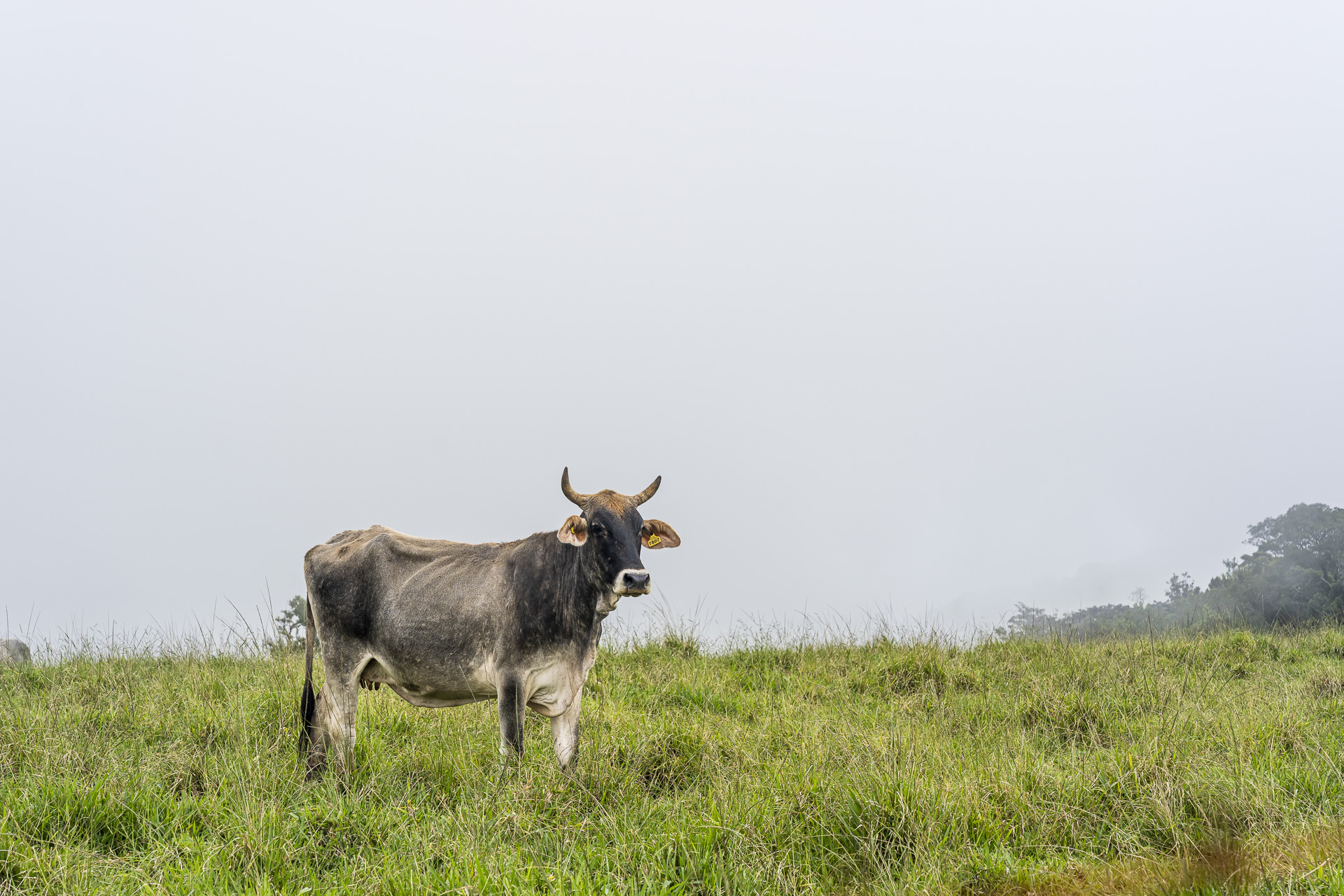
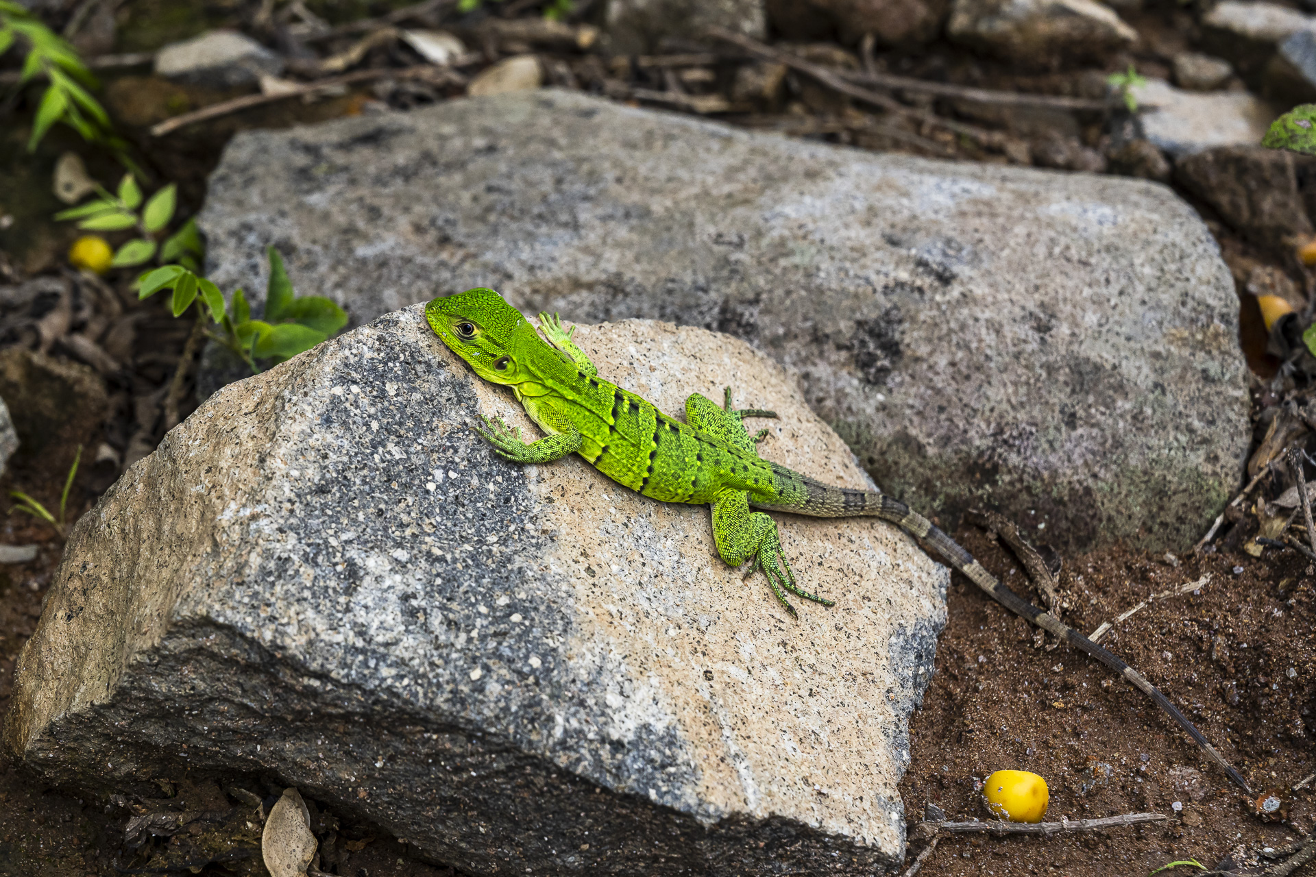
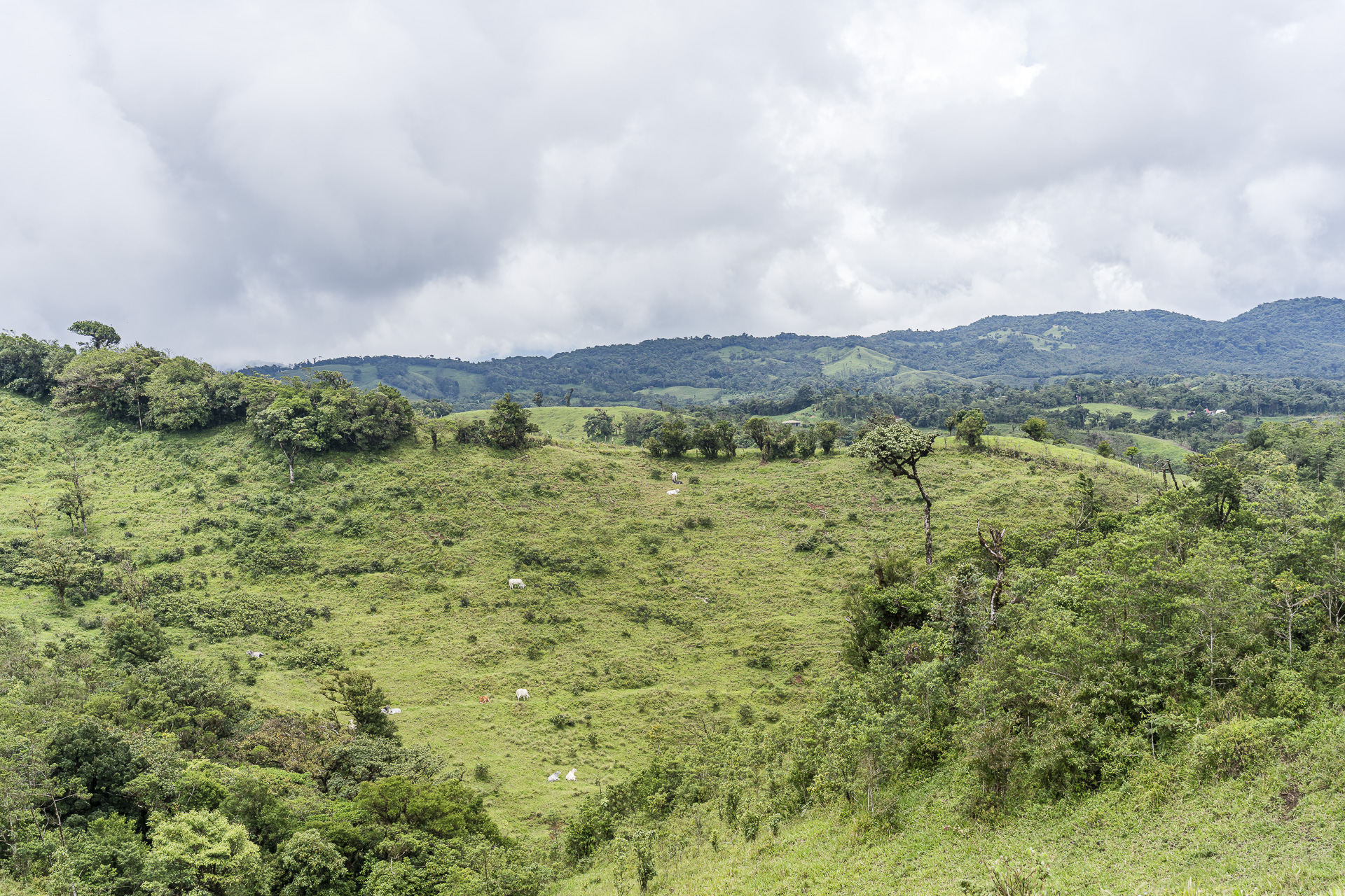
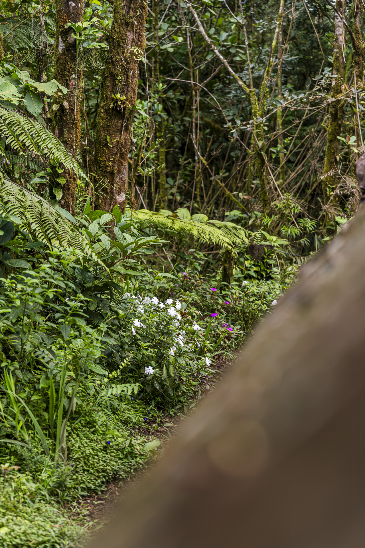
As we hike through tropical dry forest at the lower elevations, the vegetation becomes increasingly lush with altitude. At around 1,000 meters we finally enter the fog. At the side of the path we spot iguanas. Seeing the cows on the mist-covered pastures, you could just as well imagine yourself in the Jura.

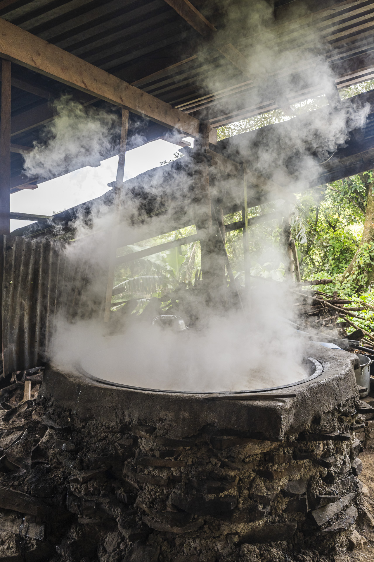
Shortly before noon we have completed the bulk of the ascent and reach the plateau near Zapotal. On the way to our accommodation, Eliseo takes us to a traditional “Trapiche“. Here sugarcane is pressed and the extracted juice is then boiled down in a large kettle over a wood fire. Once the mixture reaches the right consistency, it is formed into blocks of sugar, so-called “Tapas de Dulce”, and later sold at the market.


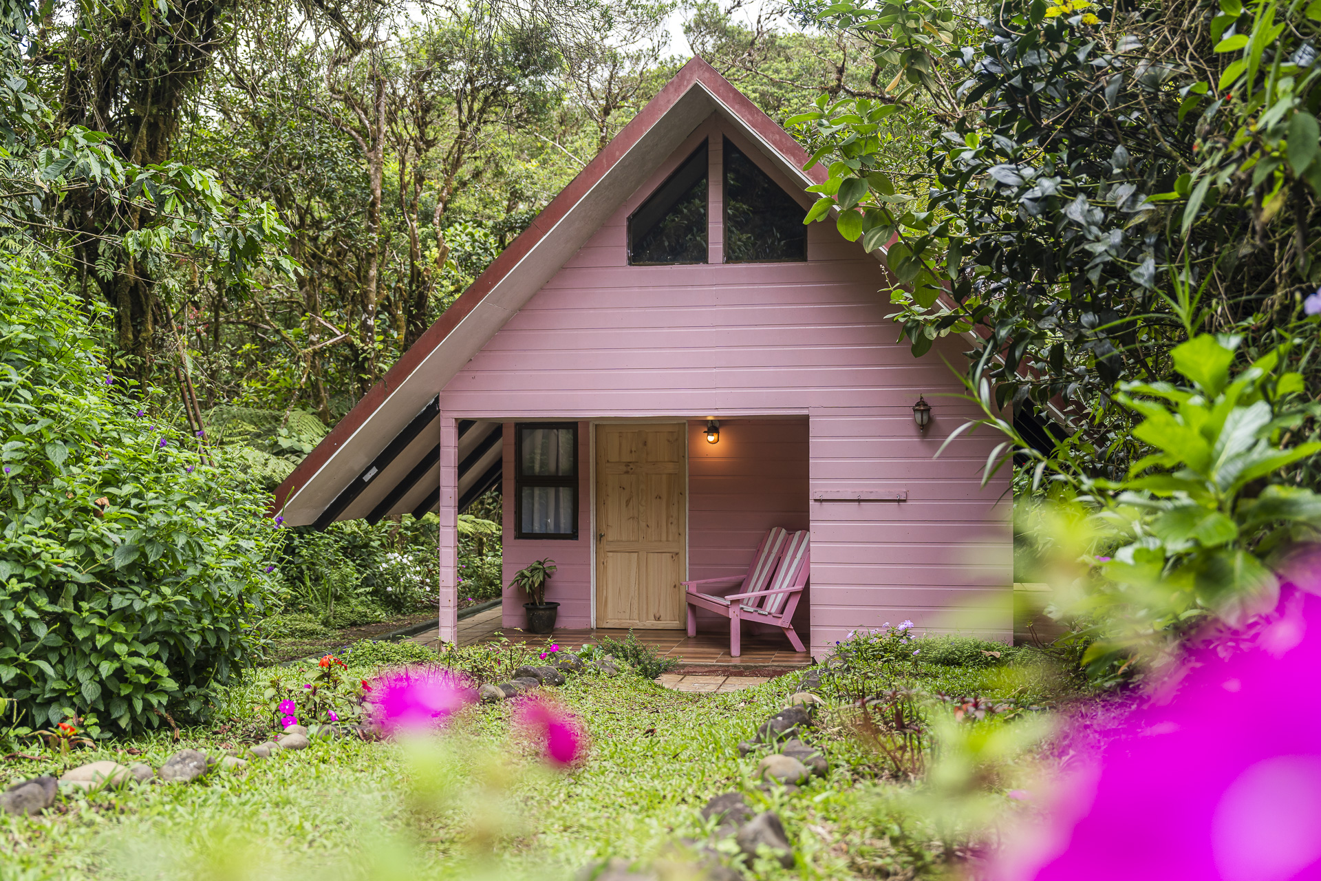
A little later we reach the end of the first day of hiking. The cottages set amid the greenery Cabañas Las Orquídeas elicit from me a spontaneous “How pretty is this place!”. The small wooden huts are furnished with a lot of care and, with the exception of a hairdryer, offer everything you could wish for to refresh and recover after a day of hiking. Although a hairdryer would actually be quite handy: with the high humidity, it’s rather hopeless to get damp hiking clothes dry by the next morning.

Day 2: through pasturelands and cloud forests to Bajo Caliente
The second stage of the Camino de Montes de Oro leads from the Cabañas Las Orquídeas to the village of Cedral, about ten kilometers away. This morning, however, we drive through Cedral by car. Since we are only hiking three of the six total stages, Urritrek has put together a selection for us that offers a good cross-section of the region’s landscapes. Our starting point today: Arancibia. Those who complete the entire trek spend their third night here at a small campsite with a view of a lagoon and the cloud forests of Monteverde beyond.
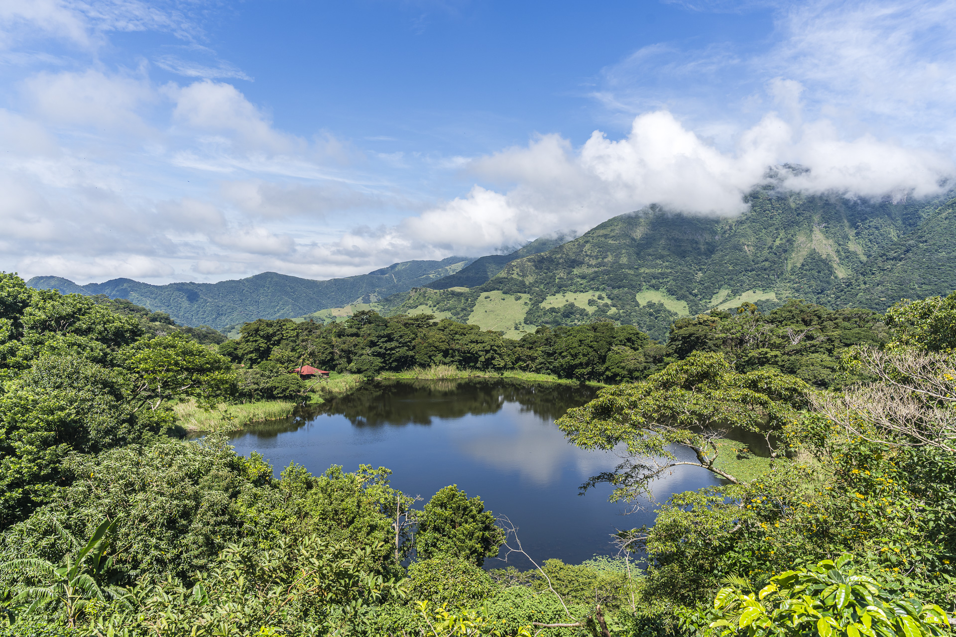
The landscape around Arancibia is shaped by massive landslides that destroyed parts of the settlement Las Lagunas de Arancibia in 1993 and 2000. Our hike takes us straight across the former landslide areas, which are now used as pastureland. In the partly knee-high grass the path is sometimes barely visible. Without Eliseo we’d be pretty lost here. He navigates us confidently through the terrain and even leads us on a short detour through the dense cloud forest to a hidden waterfall.
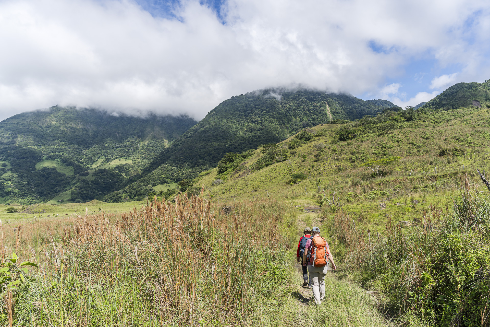
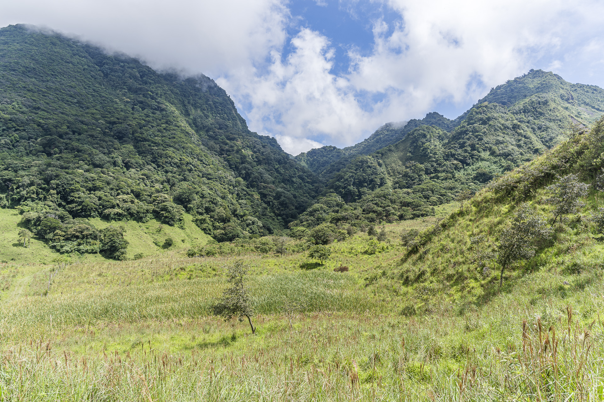
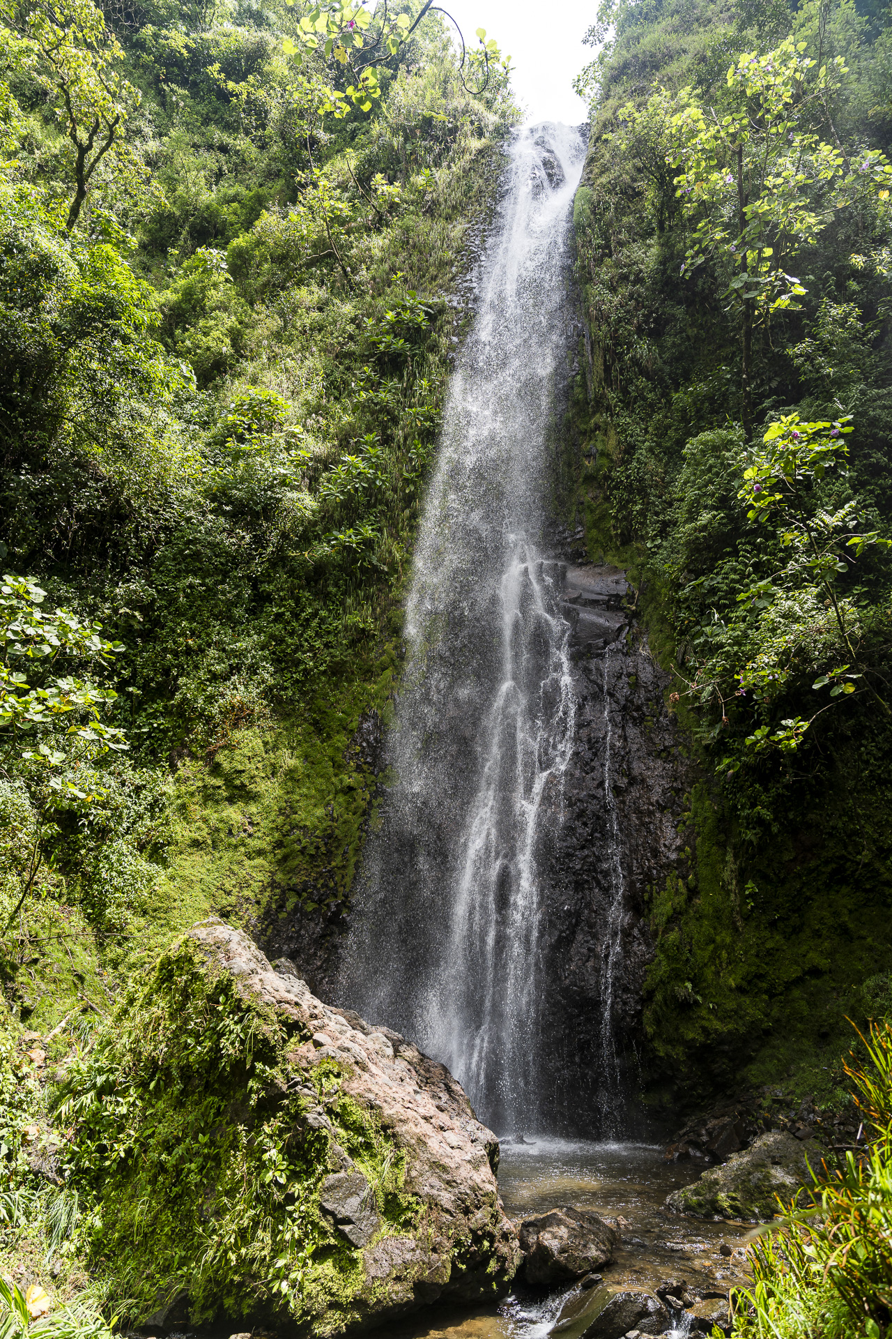
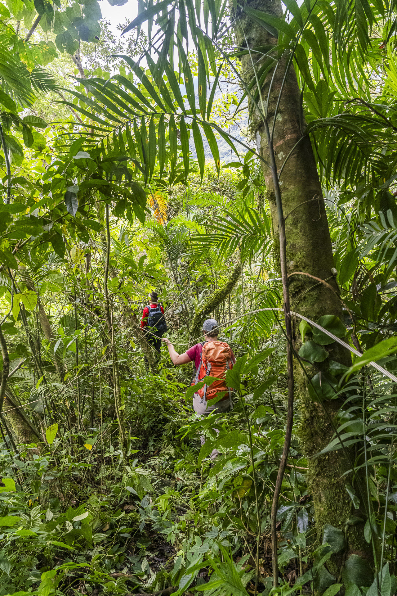

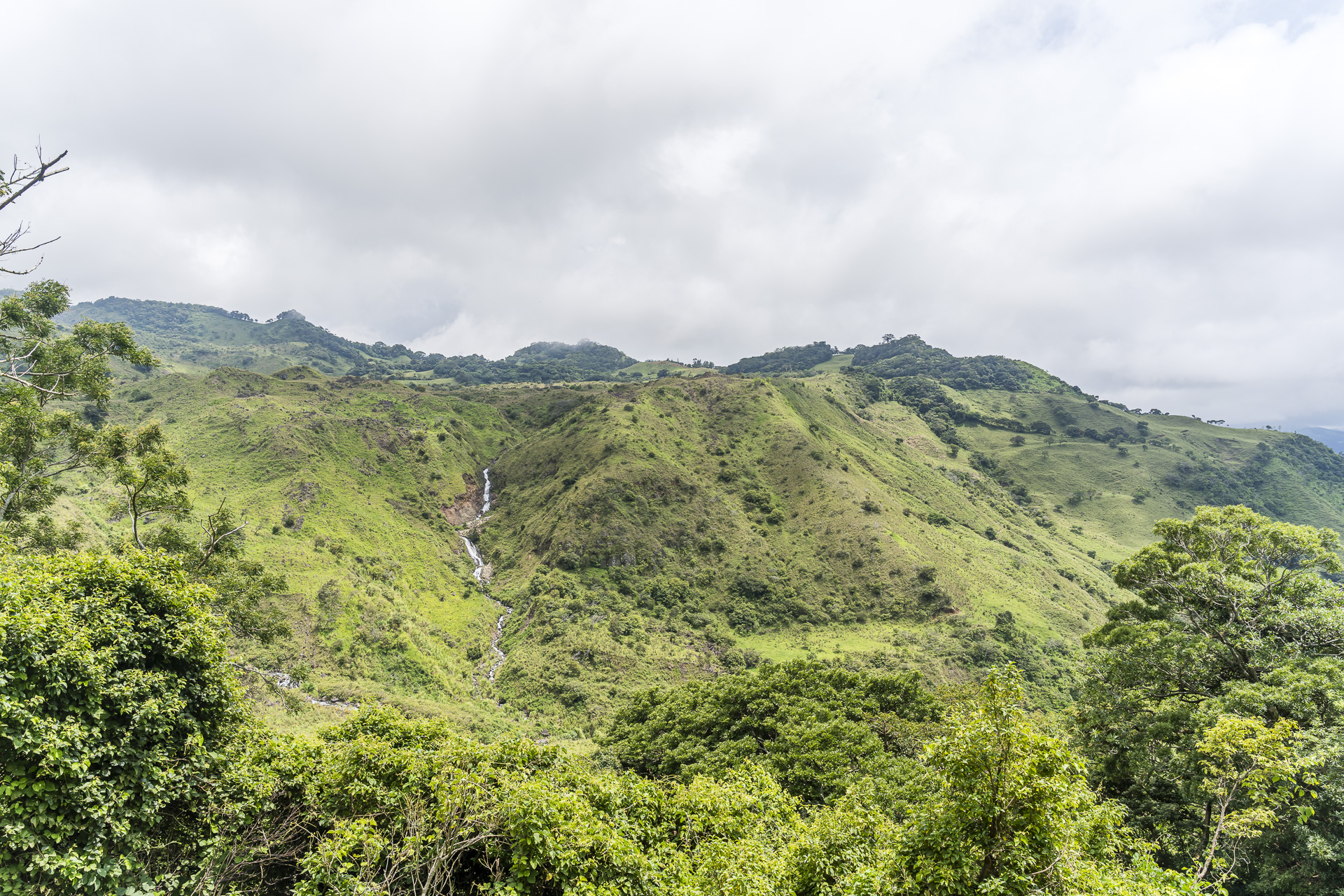
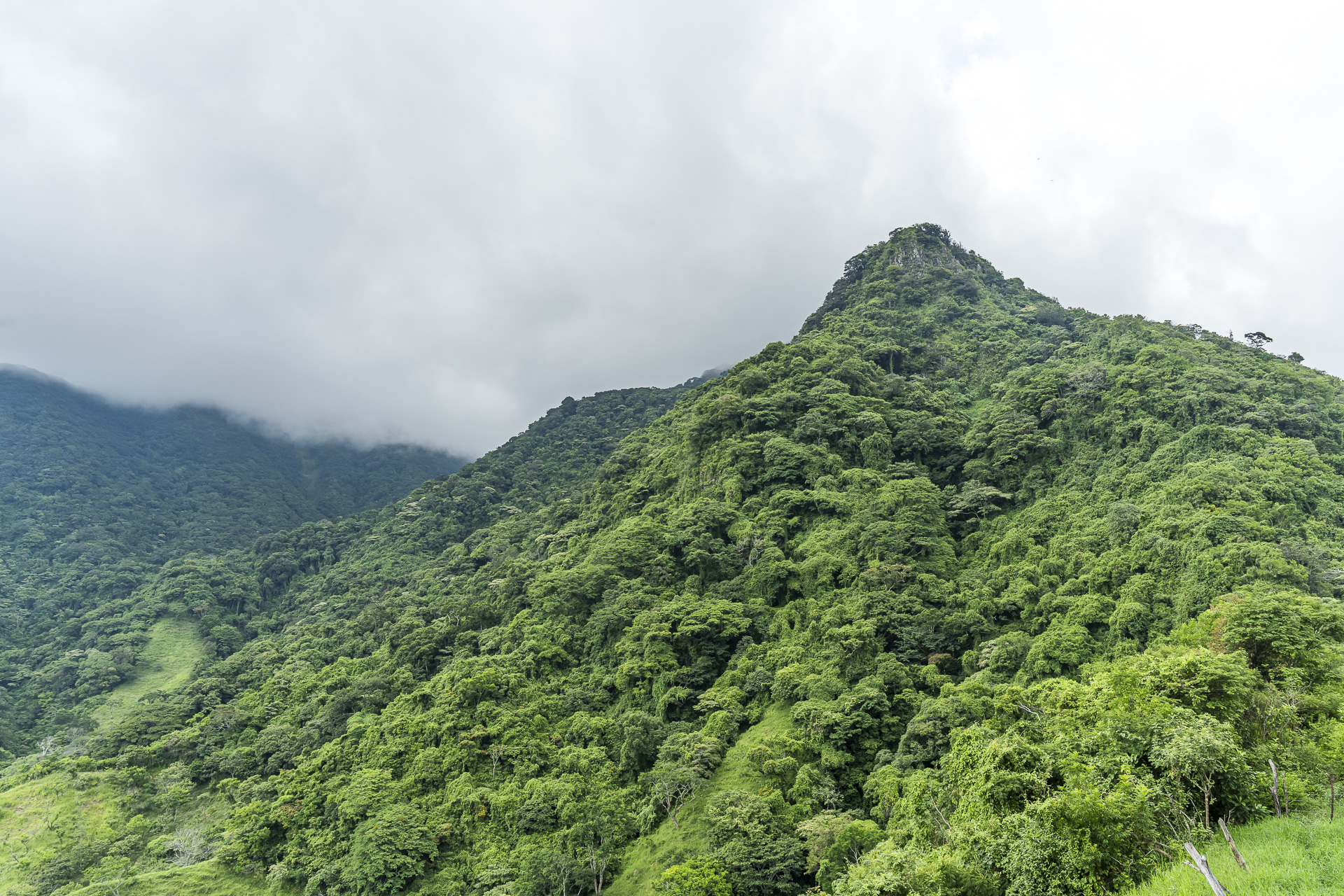
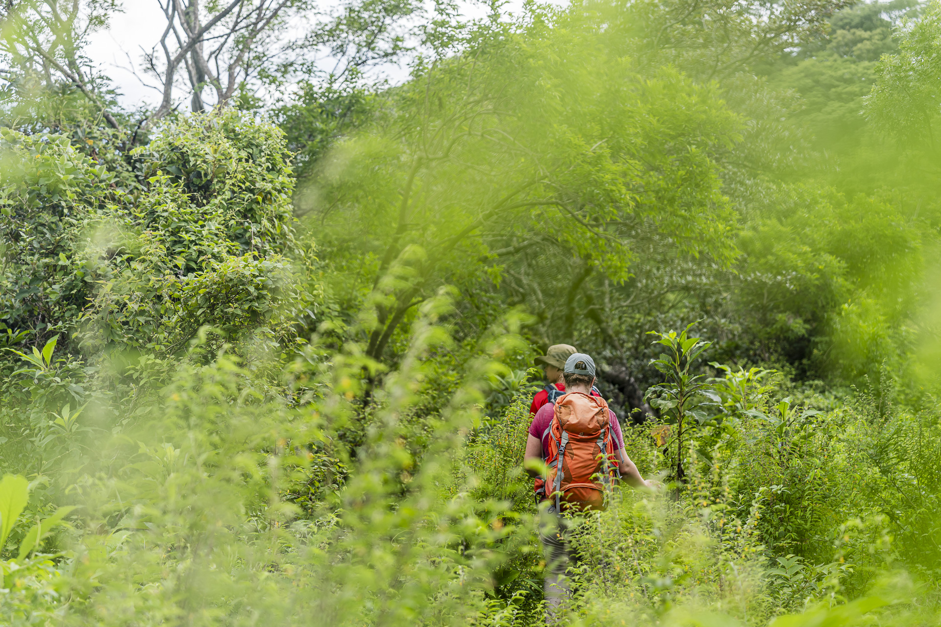
Although we cover significantly fewer kilometers and elevation gain than the day before, the rough terrain challenges me. At times I feel like we’re making very slow progress. All the more reassuring is when Eliseo, during a short break, assures us that we’re well on schedule. After all, we want to Bajo Caliente to reach before the afternoon rain. There we will be treated in a private home to a delicious, homemade Casado. We also gain an interesting insight into everyday life in rural Costa Rica.
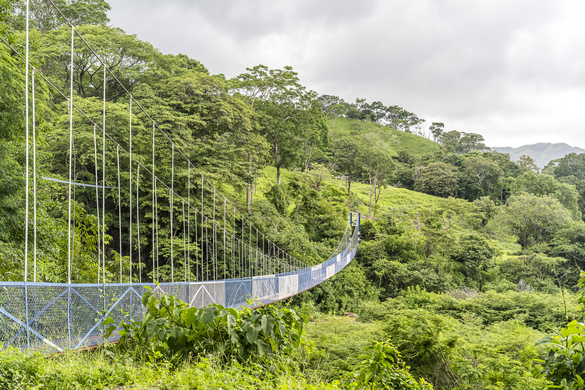

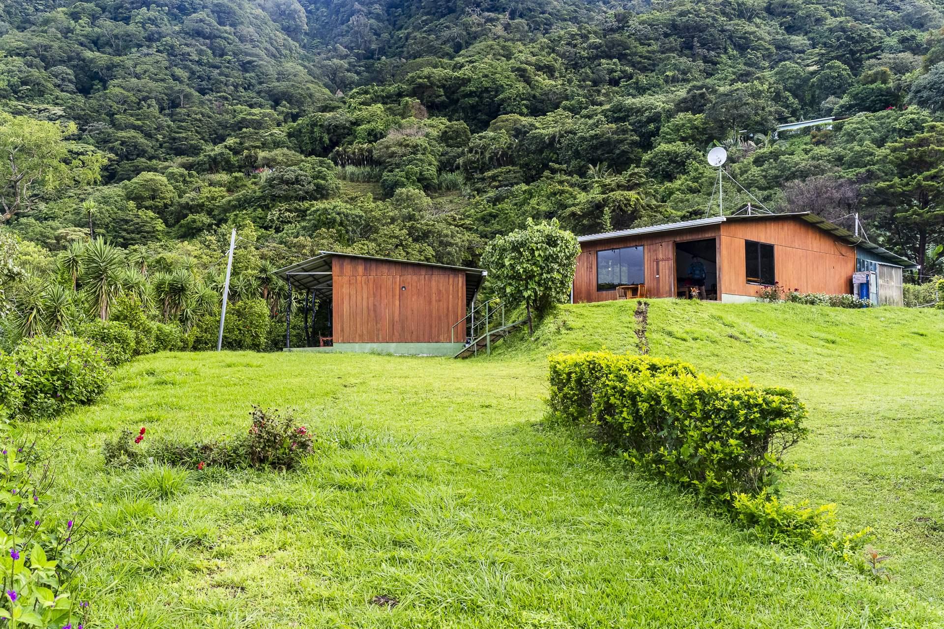
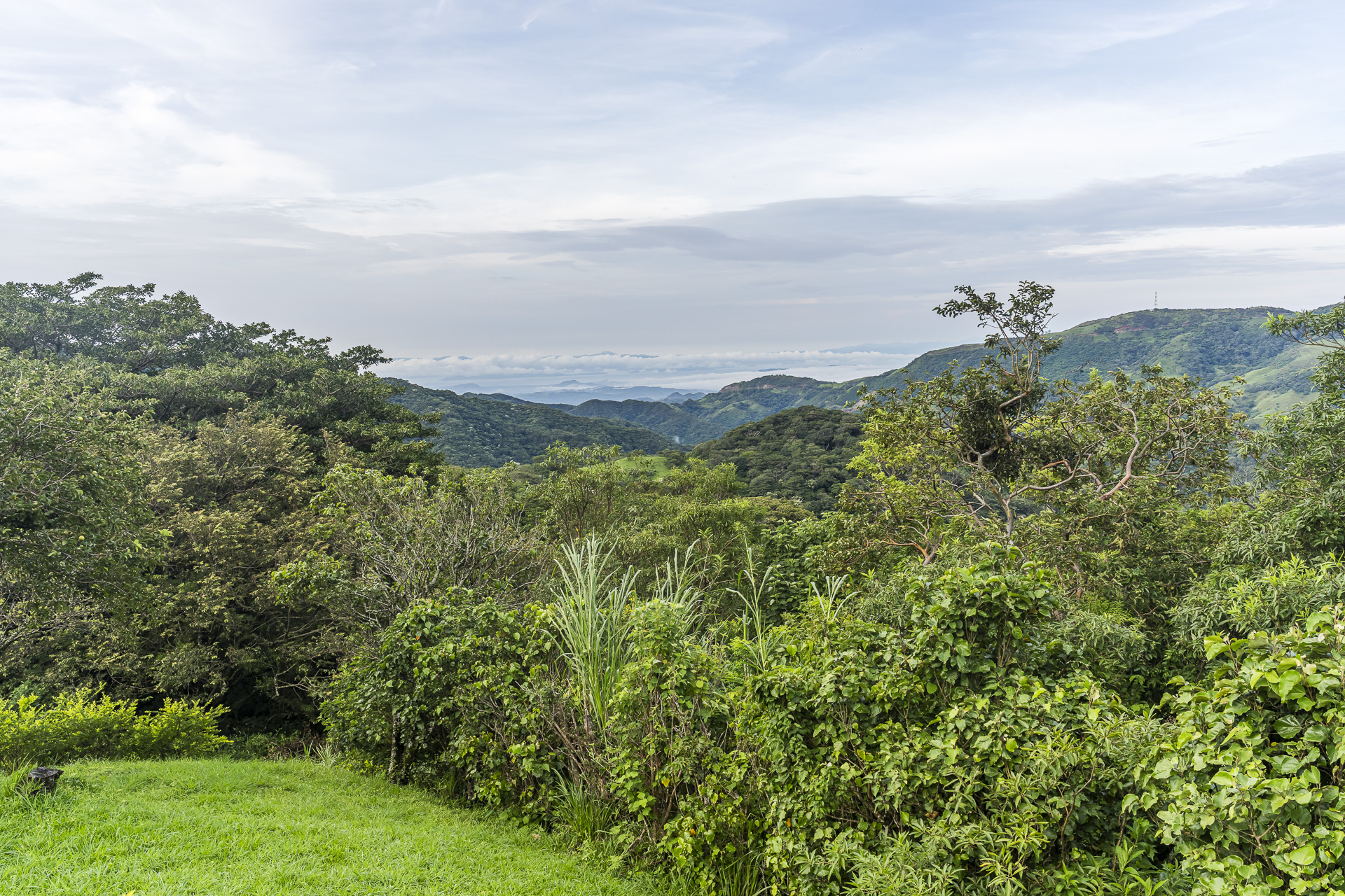
The regular fourth stage continues from Bajo Caliente about six more kilometers to Santa Marta. Instead, we drive by car to San Luis, where we stay in the Casitas de Montaña CabuyaThe cozy wooden cabins, like our accommodation from the previous day, offer simple private rooms with their own bathrooms. In clear weather the view reaches as far as the Pacific. The photos on Google Maps also show that, with a bit of luck, you can experience truly colorful sunsets here.
Day 3: from San Luis up to Santa Elena (Monteverde)
Our third and final day of hiking on the Camino de Montes de Oro also starts early. At breakfast we can, as on the previous day, choose between a traditional Gallo Pinto, a continental breakfast, and pancakes. Afterwards we tackle the sixth and final stage. Our destination: the just under 500 meters higher “Santa Elena.
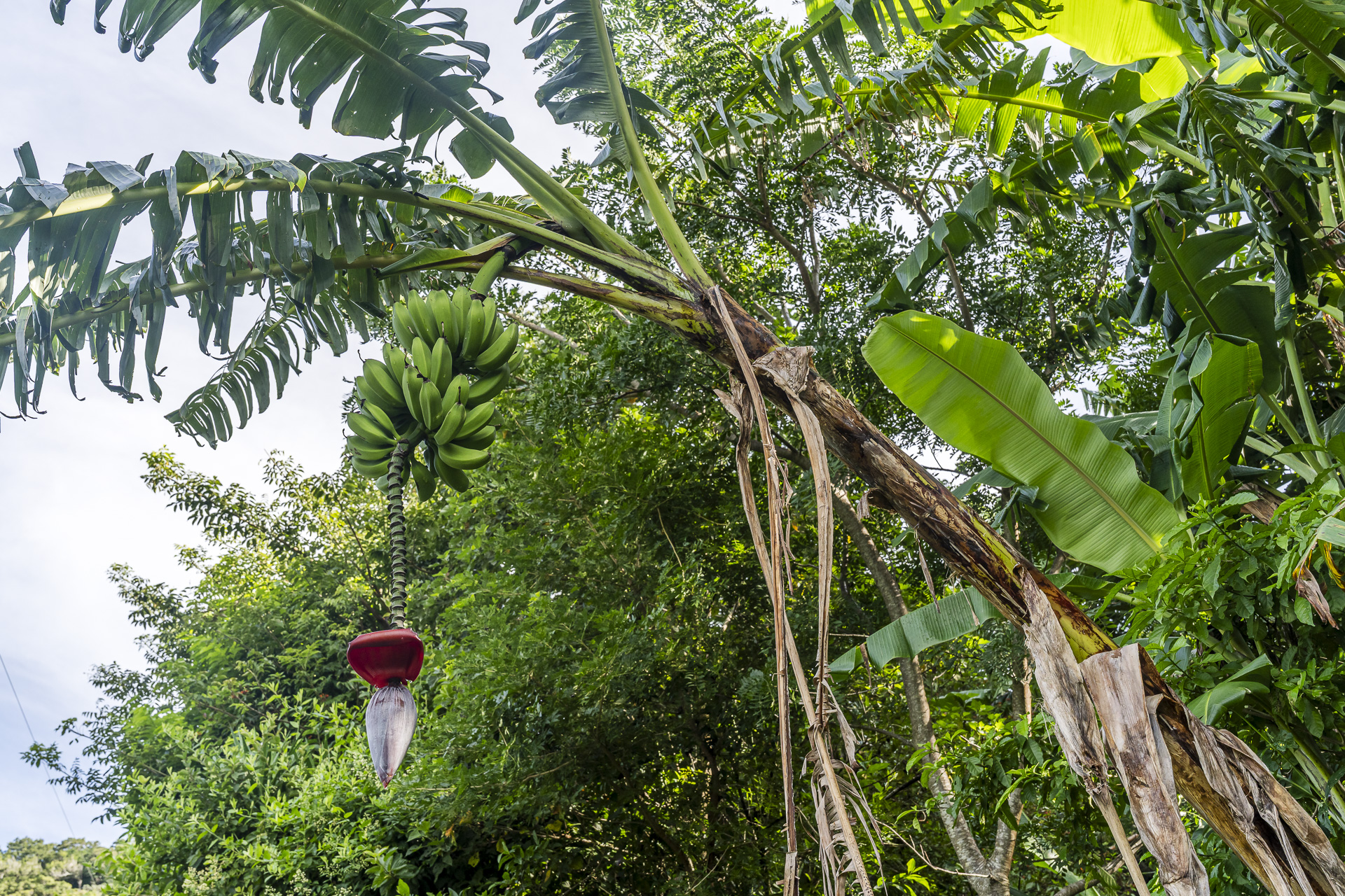
After just a few minutes I can feel sweat literally pouring off me in “streams.” Luckily, the vegetation along the path repeatedly provides welcome reasons to take a breather. Especially the flowering banana plants and the impressive strangler figs catch our attention.

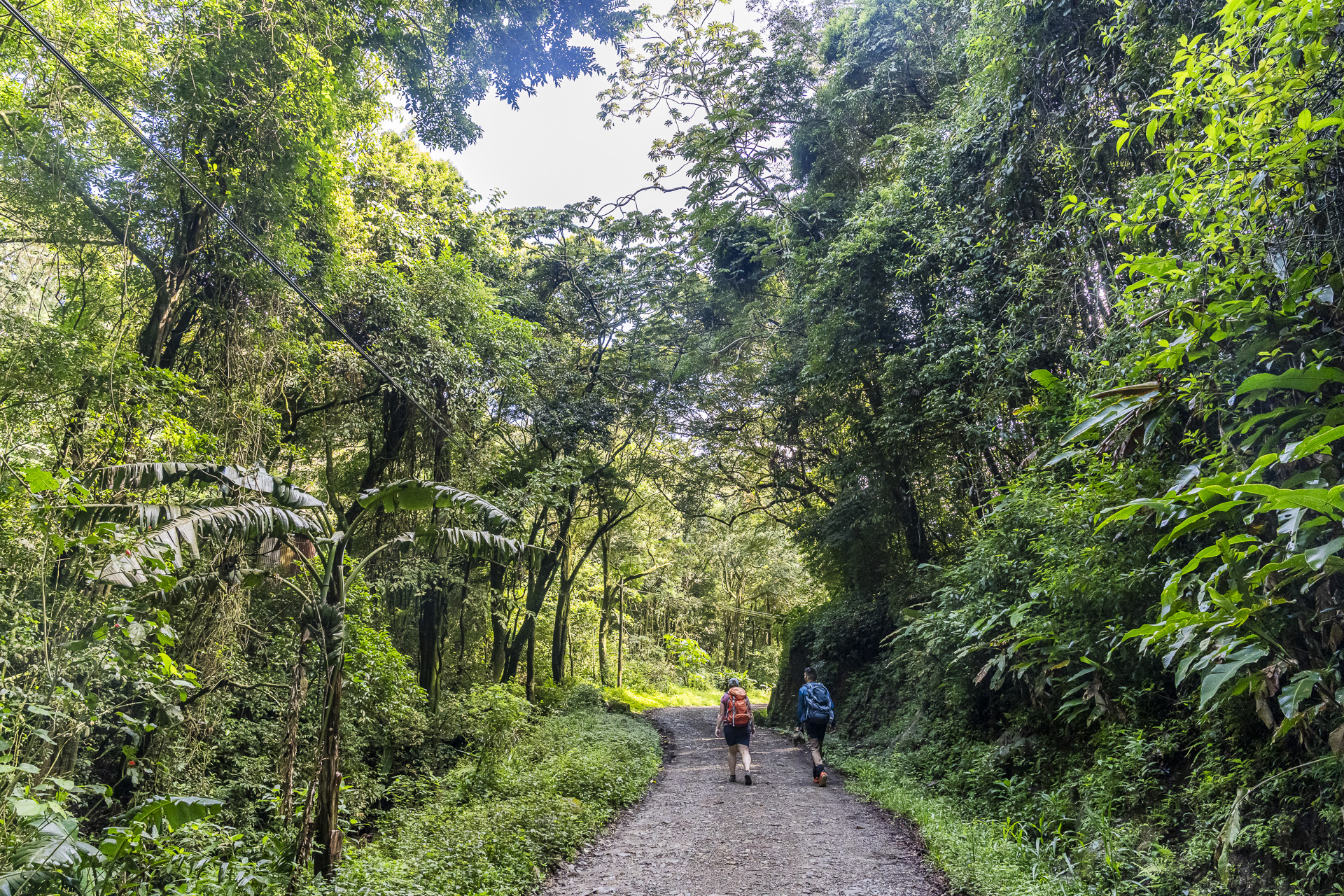
After just over an hour and a half, we had completed the short but steep climb. It would have been about four kilometers to the center of Santa Elena, mostly along a narrow gravel strip beside the road. We cut this final stretch short. Since we still had a longer drive that day to our next hiking destination in front of us, Juancho is already picking us up at the town entrance.
Before we drive on, there’s still time for a short stroll through Santa Elena. I’m pretty sure I was here once before in 2007, when we visited the cloud forests of Monteverde. But even while walking through the town center, no concrete memory comes to mind. At least this time I know where we were!
If you’re visiting Monteverde for the first time, I recommend tacking on another day or two in Santa Elena after the Camino de Montes de Oro. On my first visit in 2007 we experienced the cloud forests on a thrilling canopy tour from a bird’s-eye perspective and hiked on the Sky Walk walking right through the treetops of the mighty rainforest giants. More ideas for your stay in Monteverde, from guided night walks to coffee tours, can be found on the page of Costa Rica Tourism.
Practical tips and packing list for the Camino de Montes de Oro
How demanding is the hike?
The Camino de Montes de Oro requires a good base level of fitness and some hiking experience. It’s not necessarily the distances that are the challenge. The steep climbs in tropical temperatures and high humidity can be very sweat-inducing. In addition, there are partly rough sections where the path is barely visible. If you regularly hike in the Swiss mountains, you’ll generally be well prepared. However, you should not underestimate the climatic conditions.
When is the best time to travel?
The best time to visit the Camino de Montes de Oro is the dry season from December to April. We were traveling in early October and therefore still in the rainy season, which on the Pacific coast usually lasts from May to November. Nevertheless, we were lucky with the weather: thanks to early starts we reached our daily goals each time before the afternoon rain set in. Another advantage: even in the tourist-oriented Santa Elena we hardly encountered other travelers.
What should you pack?
With the high humidity, sweaty or rain-soaked hiking clothes hardly dry even overnight. I therefore recommend packing a fresh T‑shirt and enough change of clothes for each hiking day. A second pair of hiking pants is also worthwhile in case the first is still damp the next morning. Lightweight, quick-drying materials work best. For evenings at the accommodations, I’d also pack a separate set of dry clothes.
On wide gravel paths you can comfortably hike in shorts. If the trail, however, goes through tall grass or dense undergrowth, I recommend long pants. They protect against scratches and insect bites. Mosquito repellent is also an essential item to pack.
Having enough drinking water is also important. Plan for at least two liters per person in your daypack. We were able to refill our reusable water bottles with tap water at the accommodations. Check locally whether the water is safe to drink, and confirm with your guide where you can refill water along the route.
In addition to well-broken-in hiking boots with a grippy tread, reliable rain gear is part of the basic equipment. Since Urritrek organizes the luggage transport between accommodations, a daypack is sufficient for the essential items while on the trail.
How and where do you book the tour?
We spent our three hiking days together with Urritrek. The local trekking company offers the Camino de Montes de Oro as a guided six-day tour and arranged a customized three-day variant for us. You can find further information about the route and booking options directly on Urritrek’s website.
How do you get to the starting point in Miramar?
From Zurich, Edelweiss flies year-round nonstop to San José. You can find the current flight days on the Edelweiss flight schedule. The guided six-day tour starts in Miramar in the province of Puntarenas and ends in Santa Elena near Monteverde. For the regular tour from Urritrek, the transfer from San José to the starting point in Miramar is included. If you book an individual option, you arrange the pickup location directly with Urritrek.
Lascia un commento