

From Frinvillier via the Chasseral to the Vue des Alpes: Jura-Höhenweg stages 7 and 8
Advertisement: this article was created in collaboration with Jura & Three-Lakes Tourism
From the depths of the Taubenloch gorge to the majestic Chasseral; These two-day hikes on stages 7 and 8 of the Jura High Trail not only take us to one of the most famous elevations in the Swiss Jura, but also inspire us with its variety of landscapes. For all Jura fans (and all those who want to become one) definitely a tour to follow.
Hiking on the Jura High Trail
The Jura High Trail starts in Dielsdorf in the canton of Zurich and leads as “Route 5” in a panoramic up and down over the Jura chain to Nyon on Lake Geneva. 320 kilometres of hiking trails divided into 16 stages, which inspire with a magnificent view over the Swiss Plateau to Mont Blanc and a varied route. No wonder, the Jura High Trail is one of the most popular national long-distance hiking trails. It is rarely technically difficult on the Jura High Trail – but the altitude difference is challenging. Every now and then there is a deep clus to overcome. And that’s exactly where stage 7 starts.
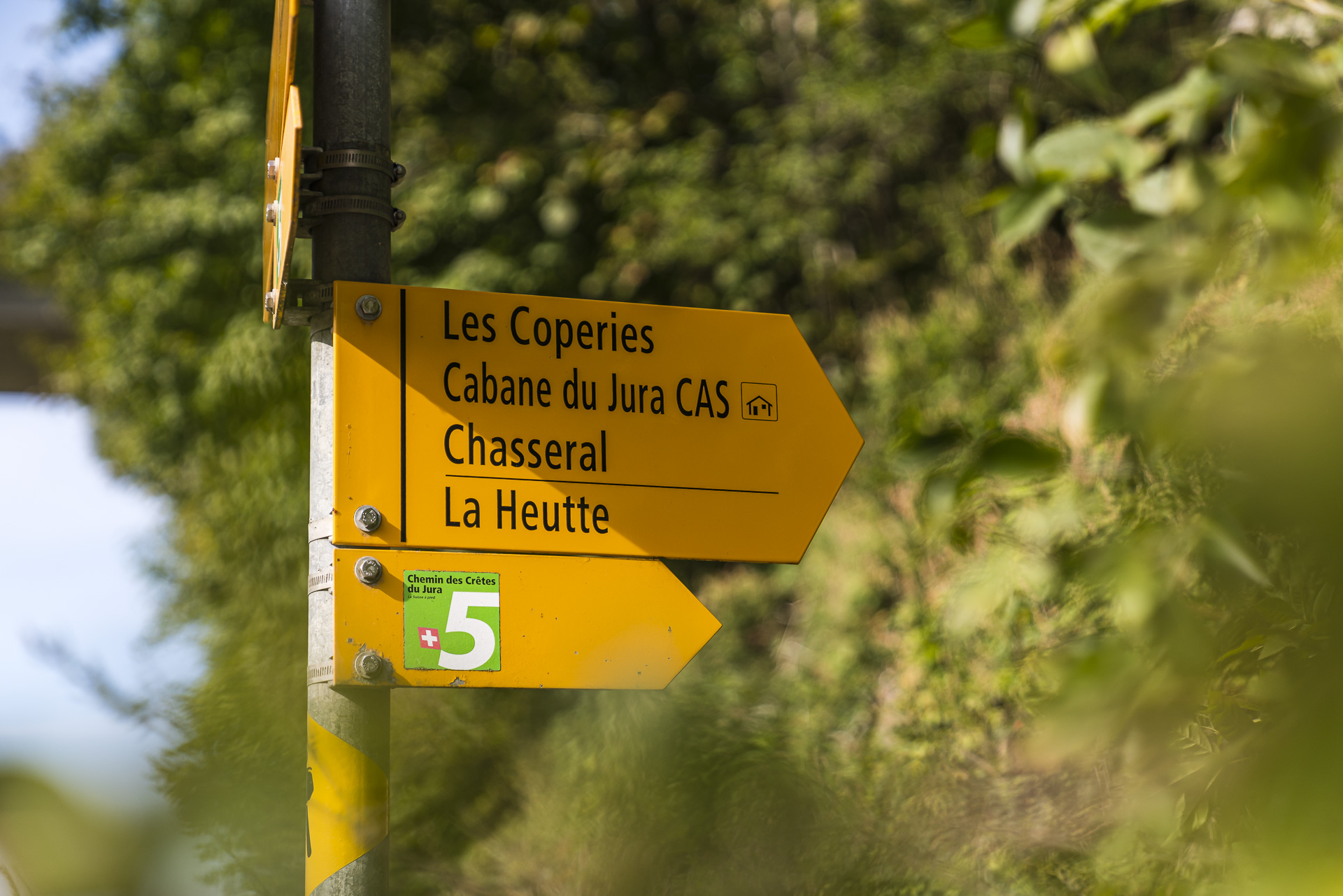
Stage 7 from Frinvillier to the Chasseral
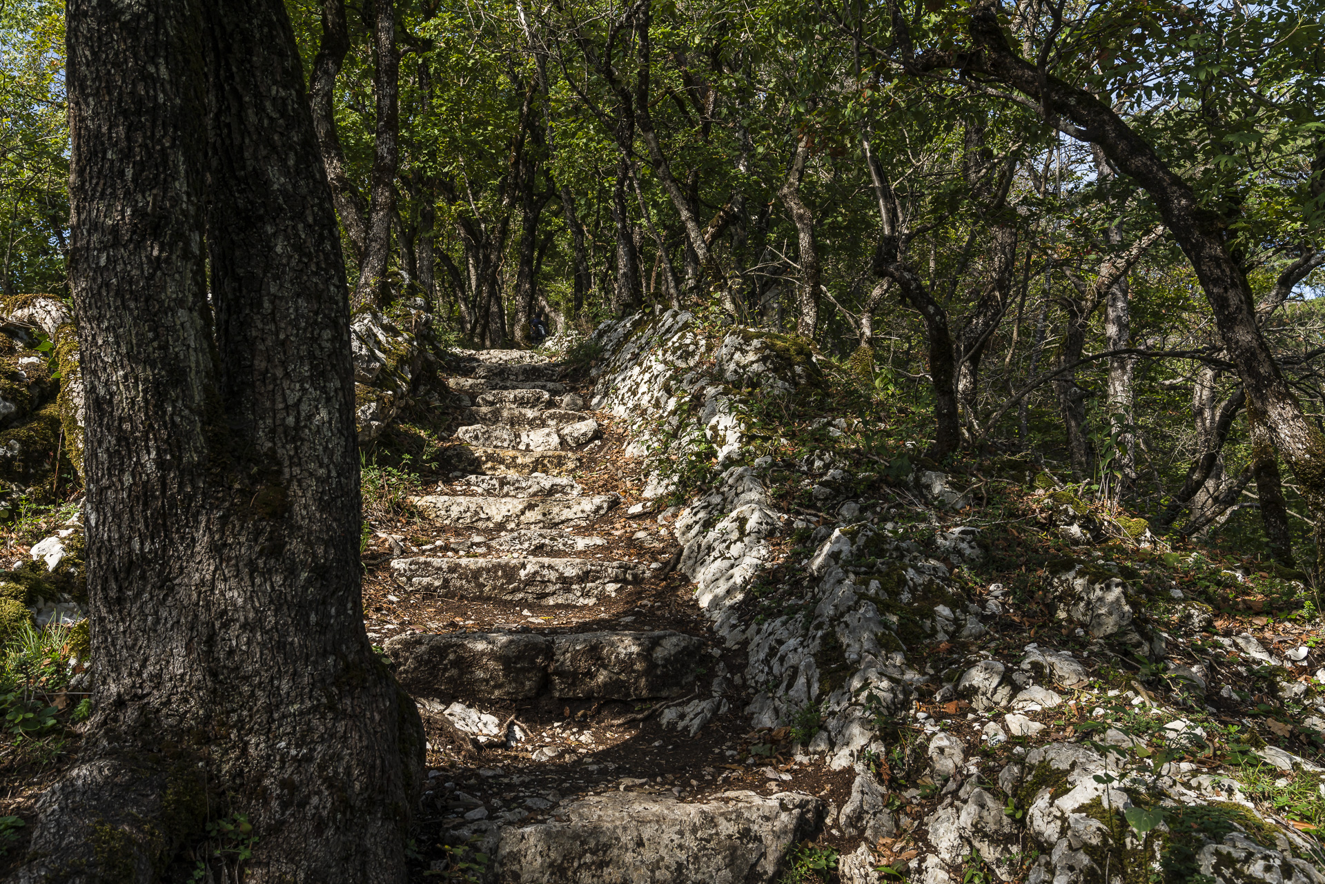
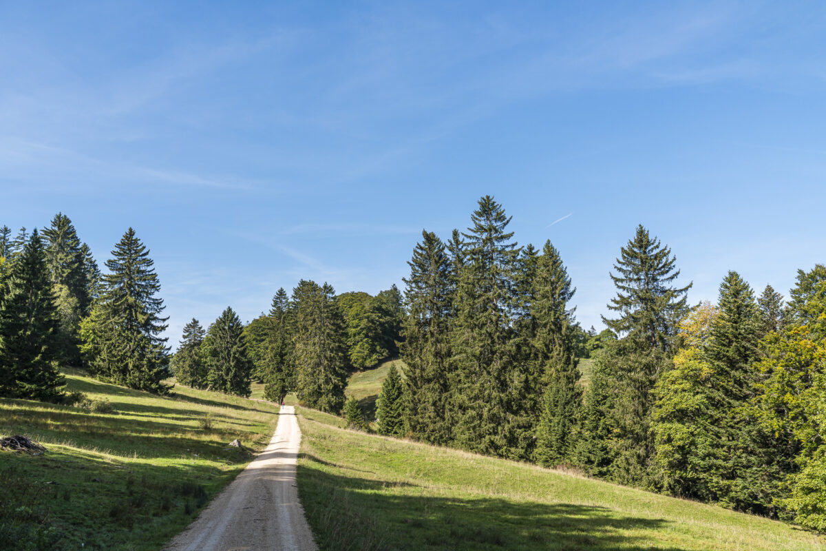
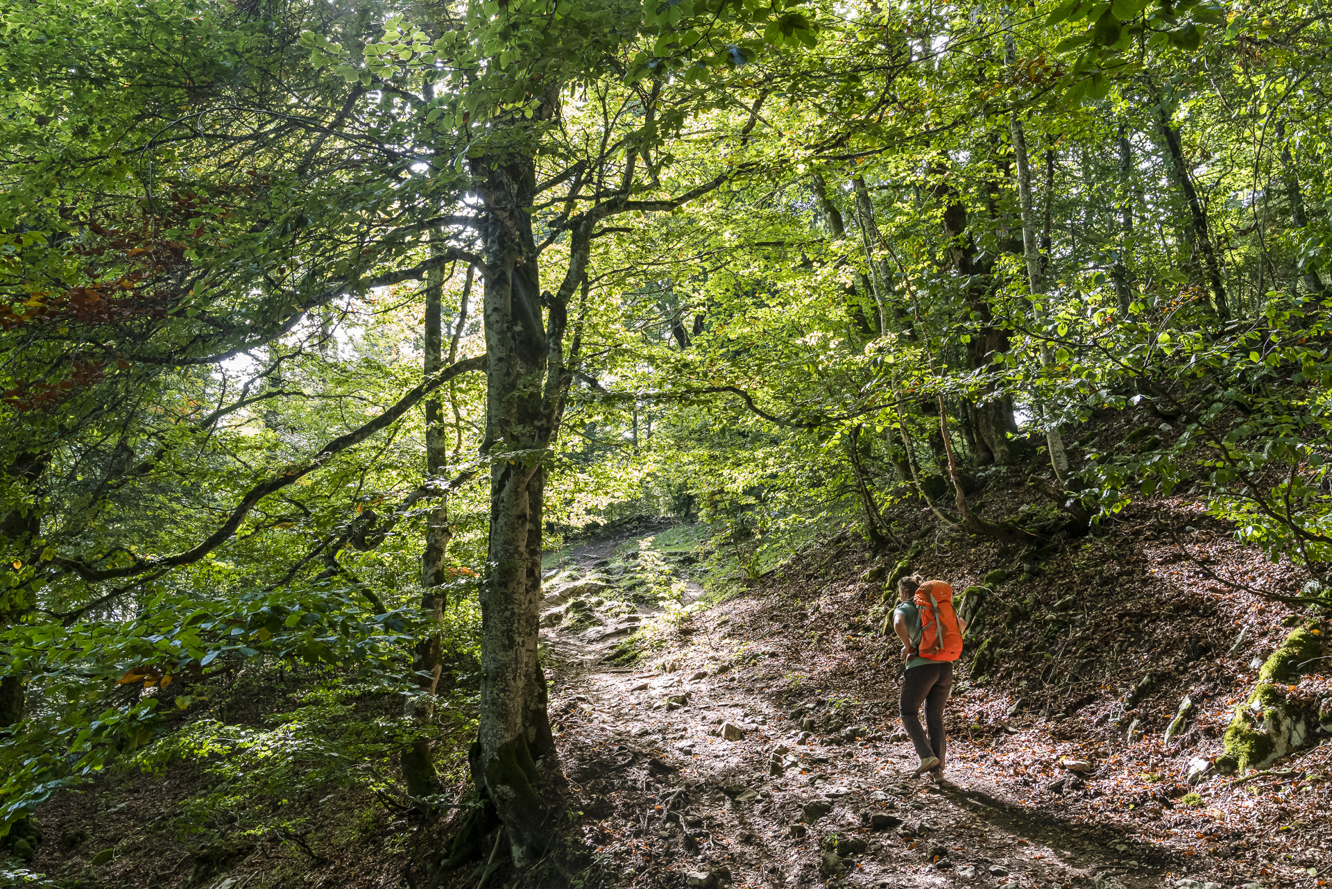
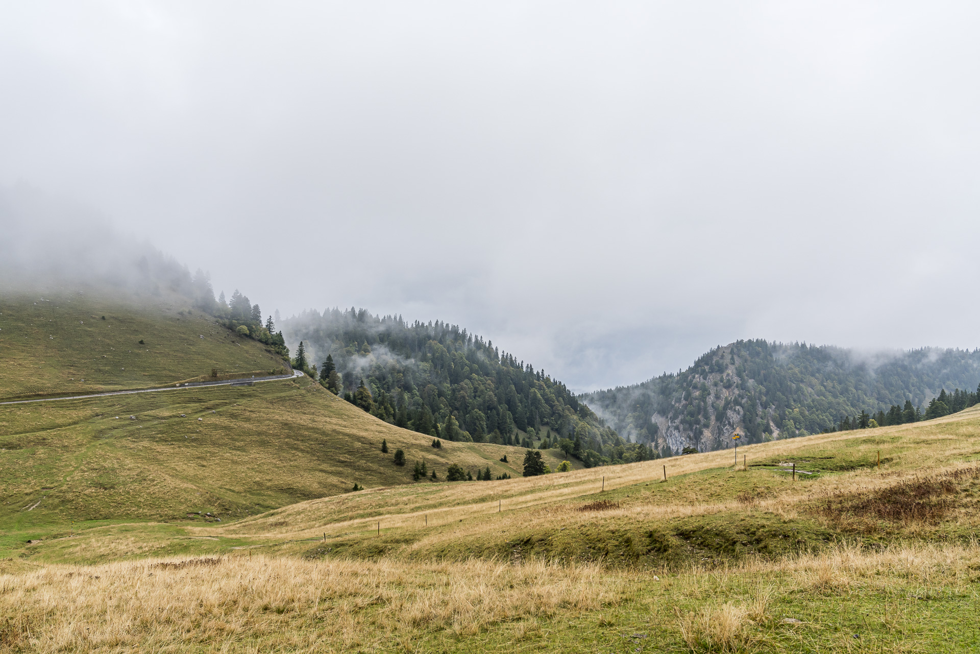
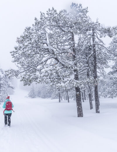
And yes, this is where we are. At Frinvillier station at almost 550 meters above sea level. 1,350 metres of altitude difference lie ahead of us today to the day’s destination “Chasseral”. This means that this stage can easily keep up with high alpine tours. But getting started is made easy for us. We cross the Schüss, which has dug deep into the Jurassic rock here on its way to Biel, and then zigzag up through the forest. A path just the way I like it. Easy to walk with a continuous incline and pleasantly shaded. Soon, deep views down into the gorges open up to us. The gnarled, wind-drawn deciduous trees that line our path also leave an impression.
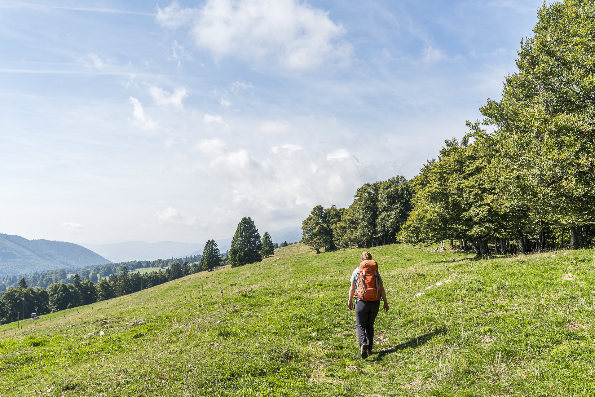
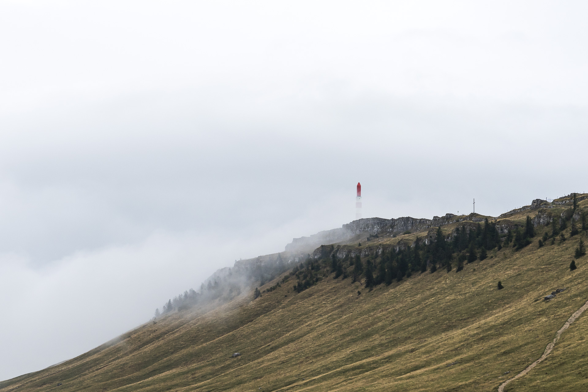
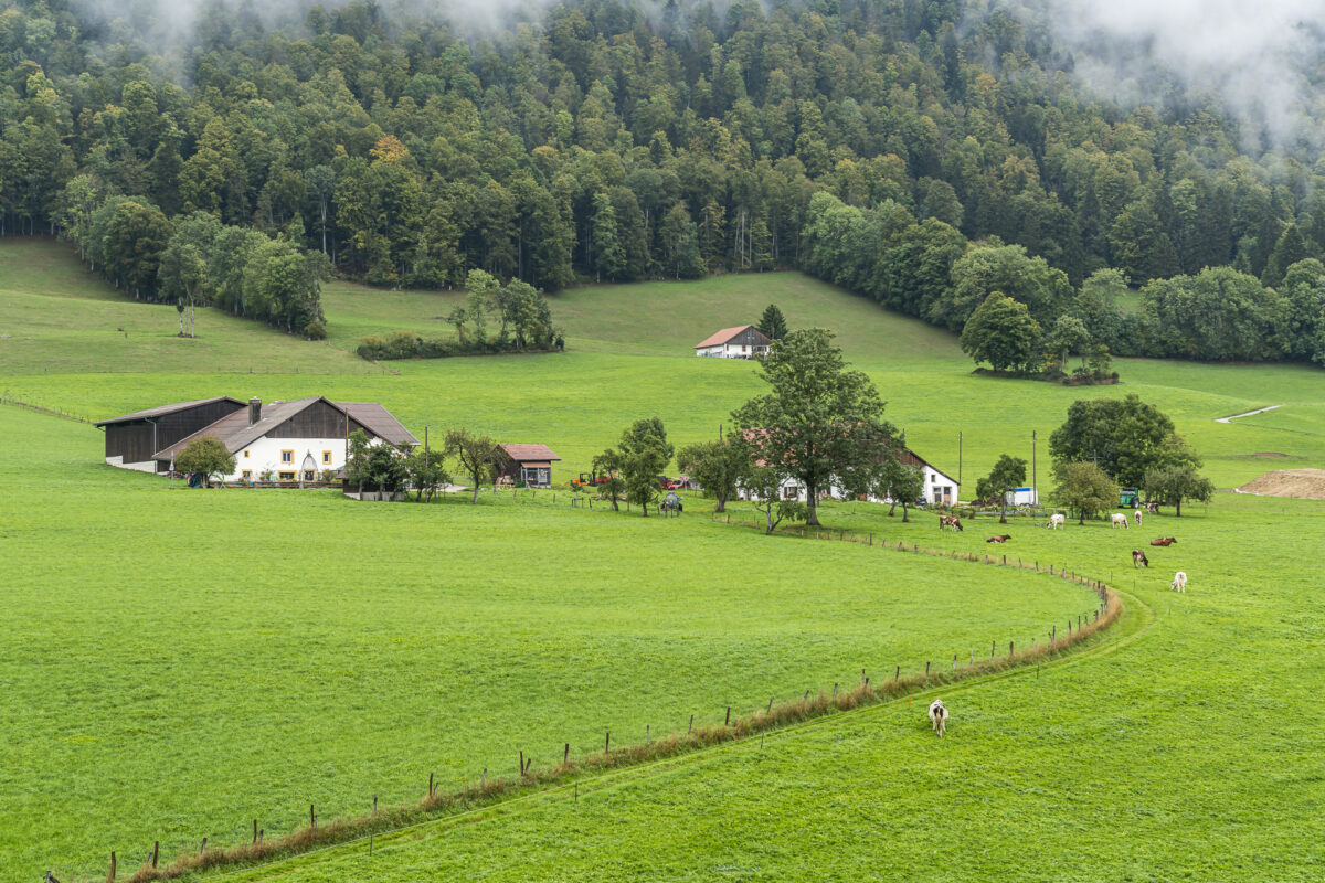
After a little more than an hour, you already have 500 meters of altitude (and thus more than a third) on the counter. Now the path becomes wider and flatter in sections. The environment is also changing. We now walk across typical Jura pastures and enjoy the view over the wooded hills. Also clearly visible: the neighbouring Mont Sujet, which we hiked two years ago. Only the striking transmission tower, which is otherwise always visible from afar, remains covered today. The harbingers of the announced bad weather front have already reached the Chasseral.
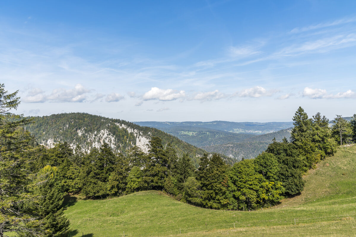
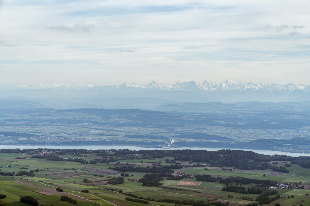
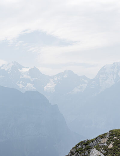
We are not deterred by this and continue to climb through the forest. In a cross-comparison with other stages of the Jura High Trail, which we have already “hiked”, the proportion of “real” nature trails is particularly high here. This is also the case on the last third, which takes us to the barren summit of the Chasseral. From 1,400 metres above sea level, we let the old giant trees behind us look over the fir peaks towards the Mittelland for the first time. Always an impressive panoramic view!
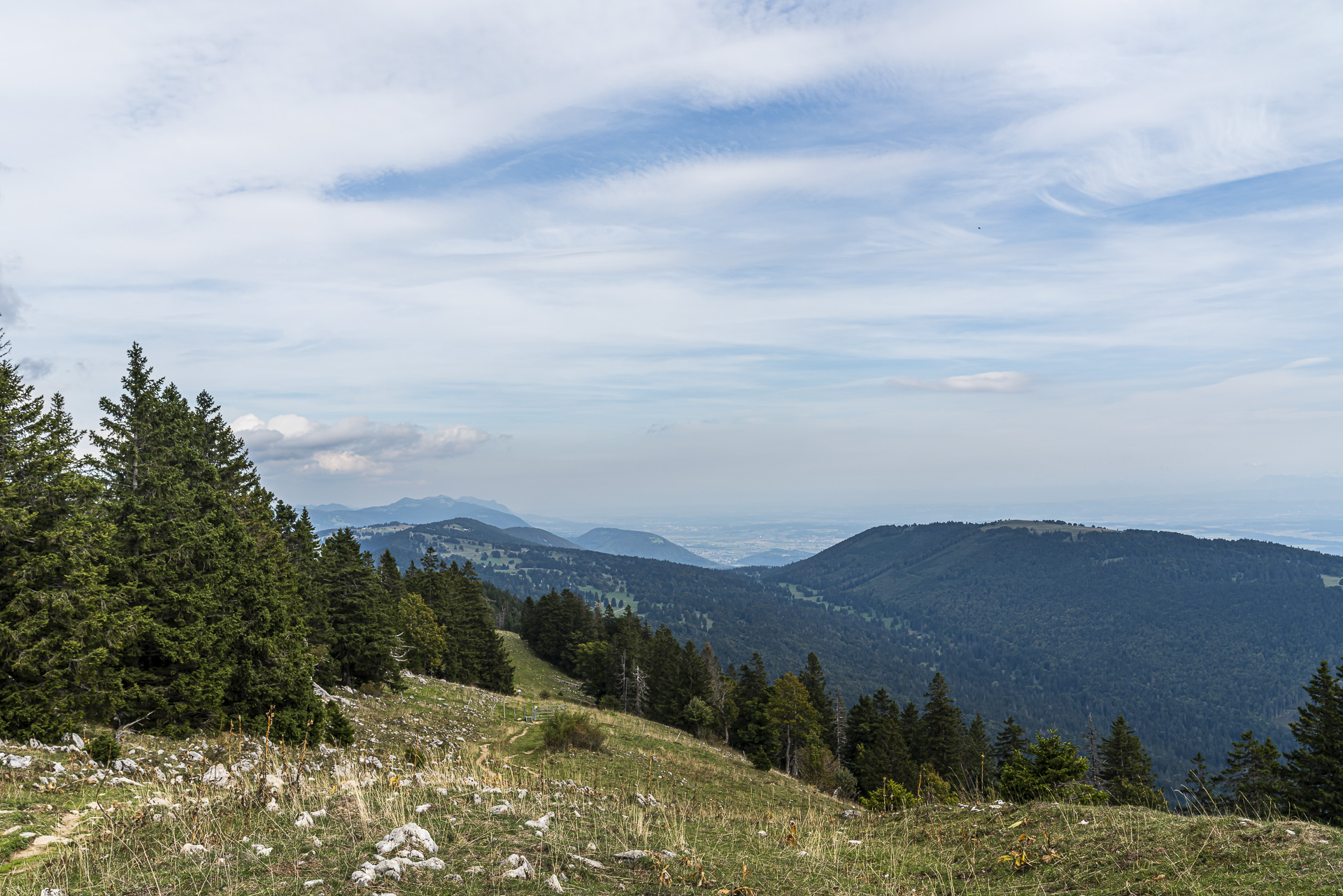
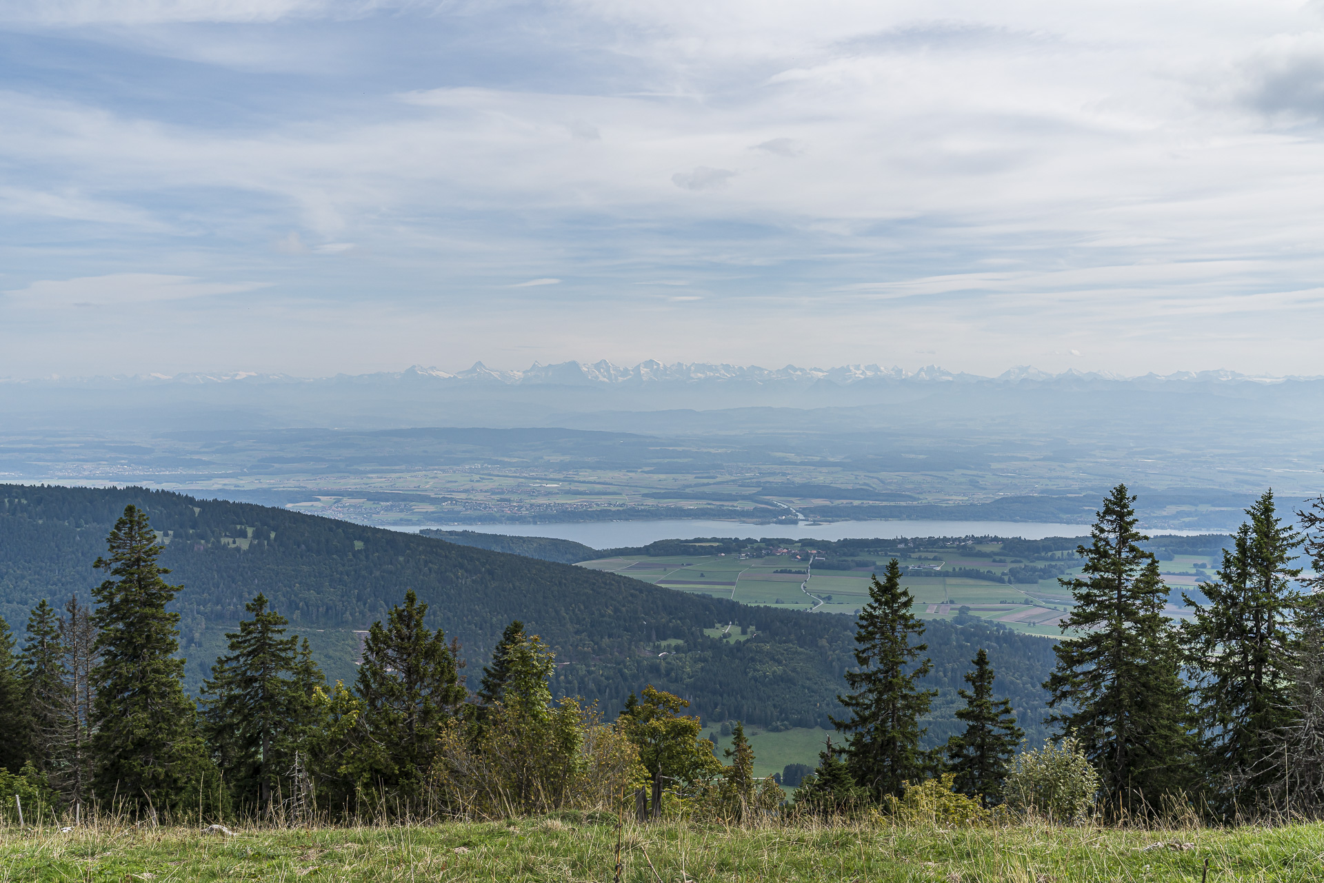
Threatening dark clouds are piling up behind the clunky transmission mast – it won’t be long before the rain sets in. But we still make it to the summit with dry feet and take the time to take in the 360-degree panorama from the Alps to the wind farm on Mont Soleil.

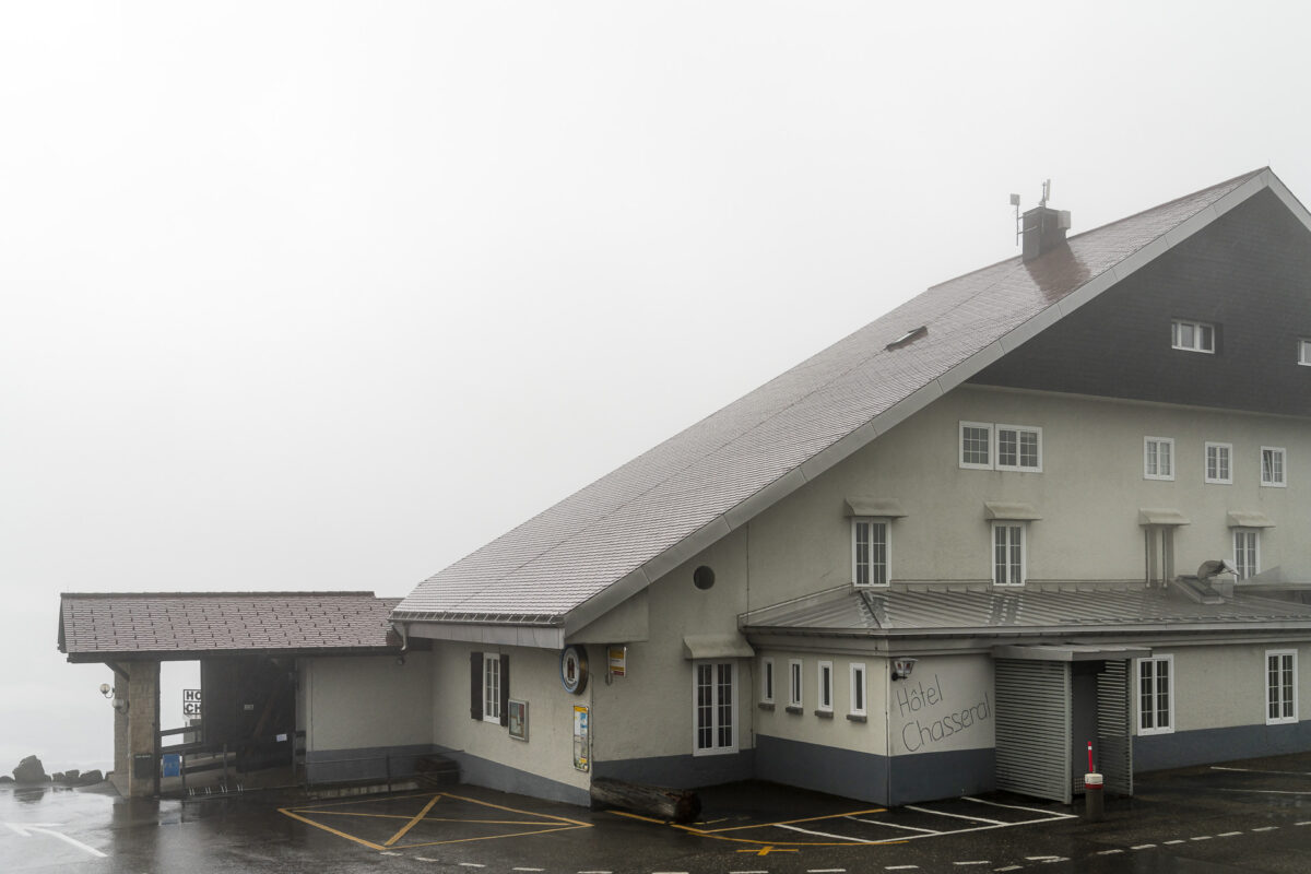
From the summit to the final stop of today’s tour, it is a short 20-minute walk along a tarred road. In terms of views, the Hotel Chasseral is a worthwhile stopover and a guarantee for atmospheric views over the Three Lakes region.

Key data of the stage Frinvillier – Chasseral
On the map below you can see the route of the hike from Frinvillier to the Chasseral. It is a yellow-marked hiking trail with a difficulty level of T1. The trail is not technically demanding and runs mostly on forest paths, over pastures and on gravel paths. However, the length of the route and the number of meters of altitude require a certain basic level of fitness.
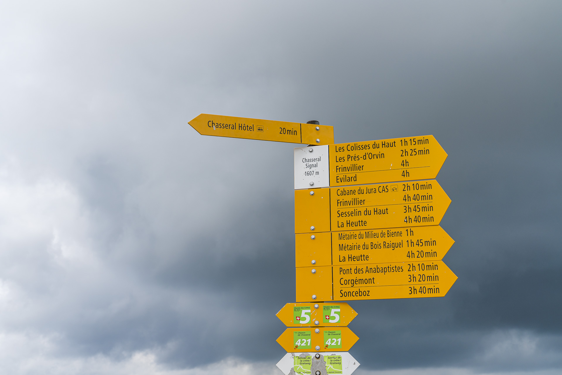
Stage 7 ends at the level of the Chasseral transmission tower. The nearest accommodation (Hotel Chasseral) or the nearest public transport connection is 1.3 kilometres away (about 15 to 20 minutes walking time). The La Neuveville – Le Landeron – Plateau de Diesse – Chasseral post bus line operates during the summer months from April to October. If you are planning the hike to the Chasseral as a day hike, you should either do it within this period, or be prepared to descend an additional hour to the village of Nods.
| Starting point | Frinvillier railway station (547 m above sea level) |
| Reachability | accessible by public transport |
| Length | 18.7 kilometres |
| Elevation gain | ↗ 1,375 m 385 m ↘ |
| Duration | 6:15 p.m. |
| Destination | Bus stop Chasseral, Hotel (1,556 m above sea level) |
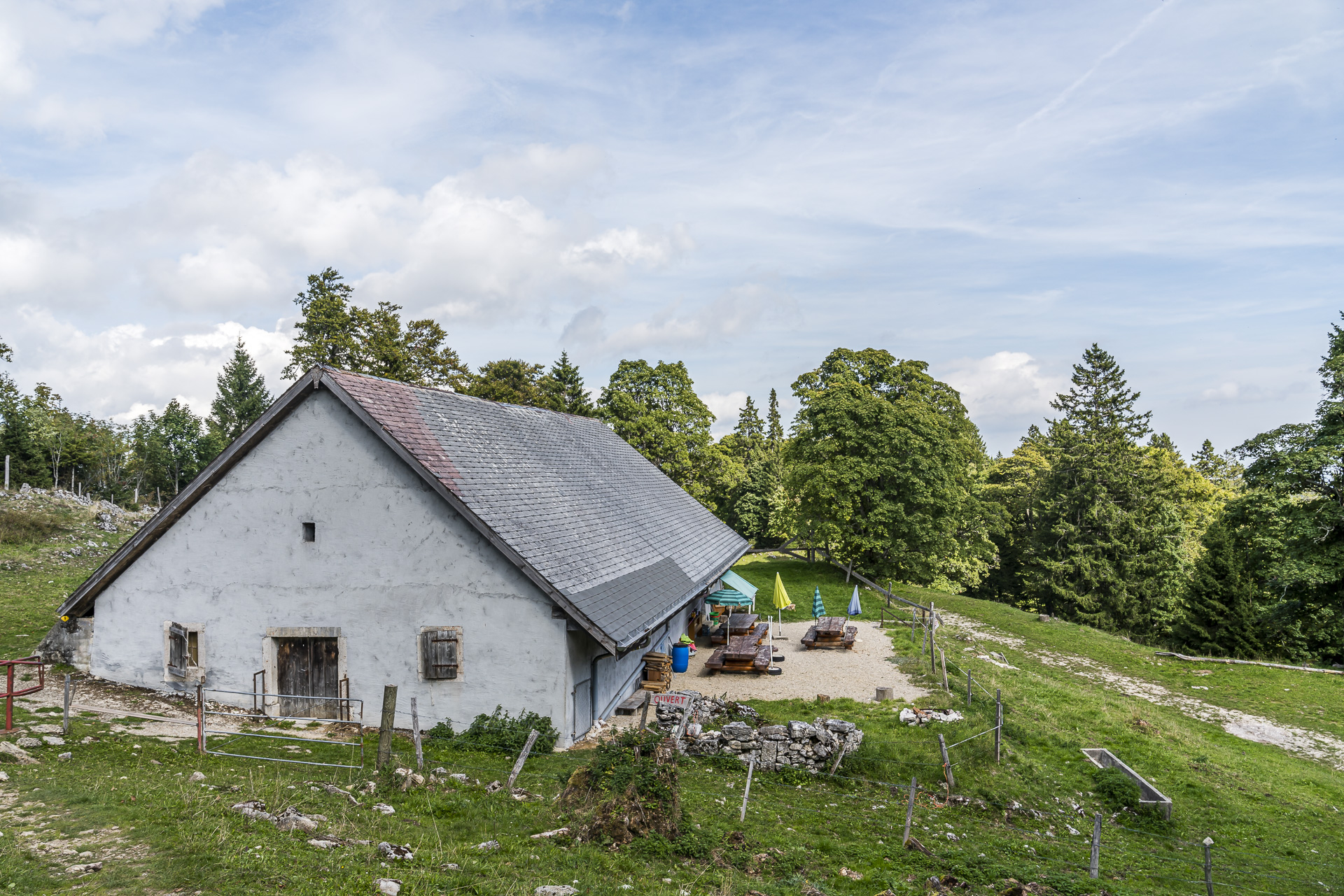
| Catering | Drinks (self-service, payable with Twint) at les Colisses du Haut, Jurahaus (only serviced on weekends) |
Stage 8 from Chasseral via le Pâquier to the Vue des Alpes
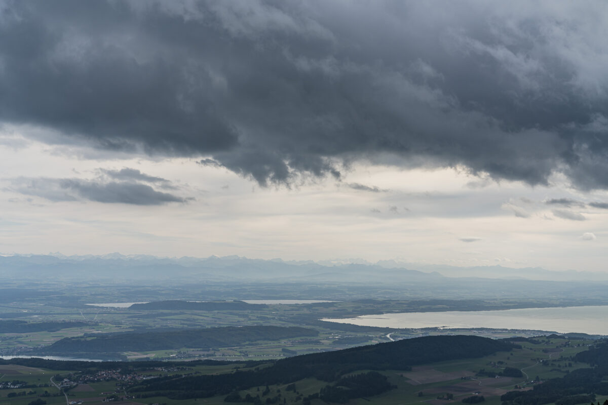
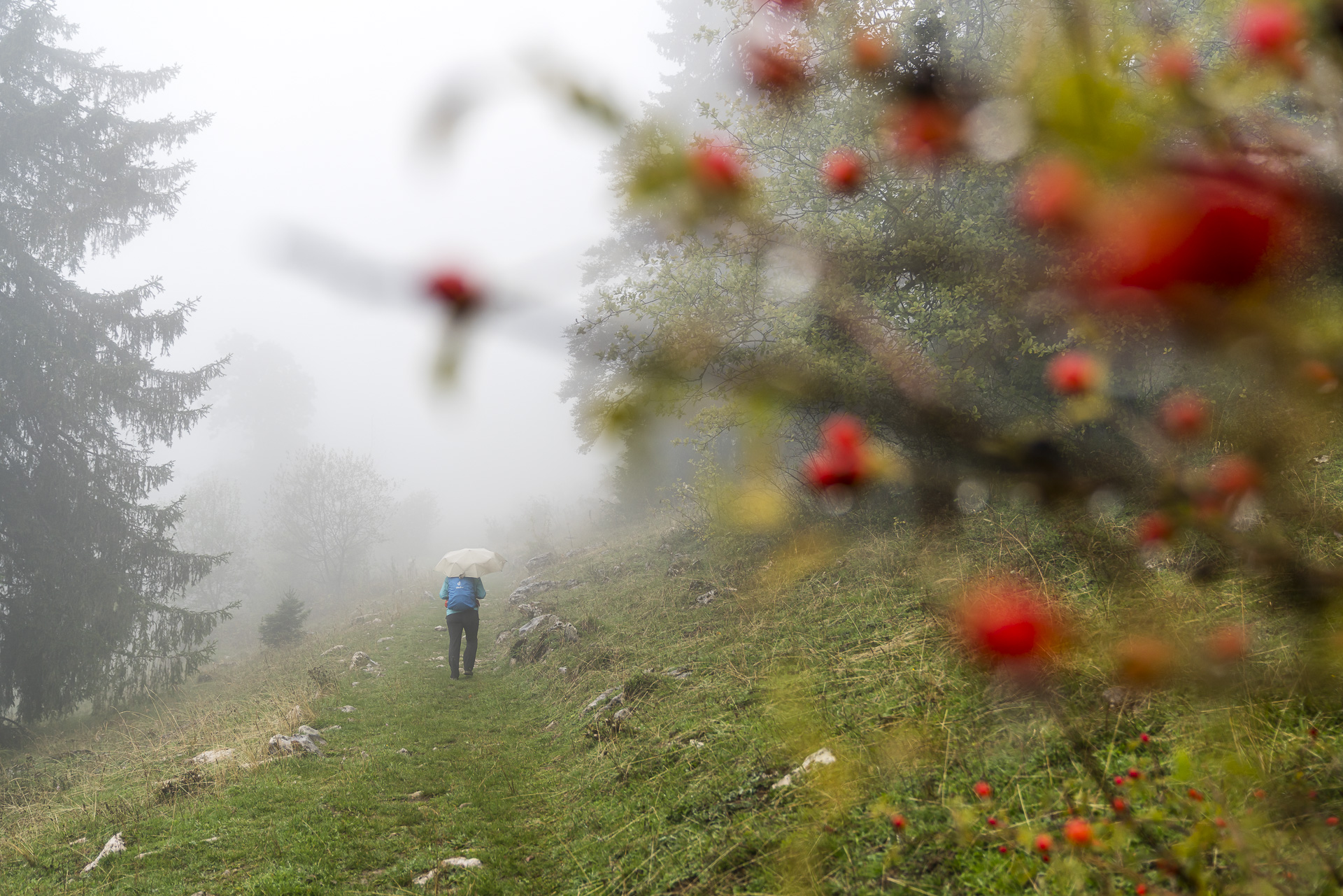
After we had made ourselves comfortable at the Hotel Chasseral after arriving at the stage finish and enjoyed a fondue for dinner (suitable for the weather), we spent a wonderfully quiet night in our somewhat out of time, but no less cozy, small double room. The view out of the window confirms what we had already prepared for: Thick clouds and a fine drizzle have the Chasseral firmly in its grip this morning.
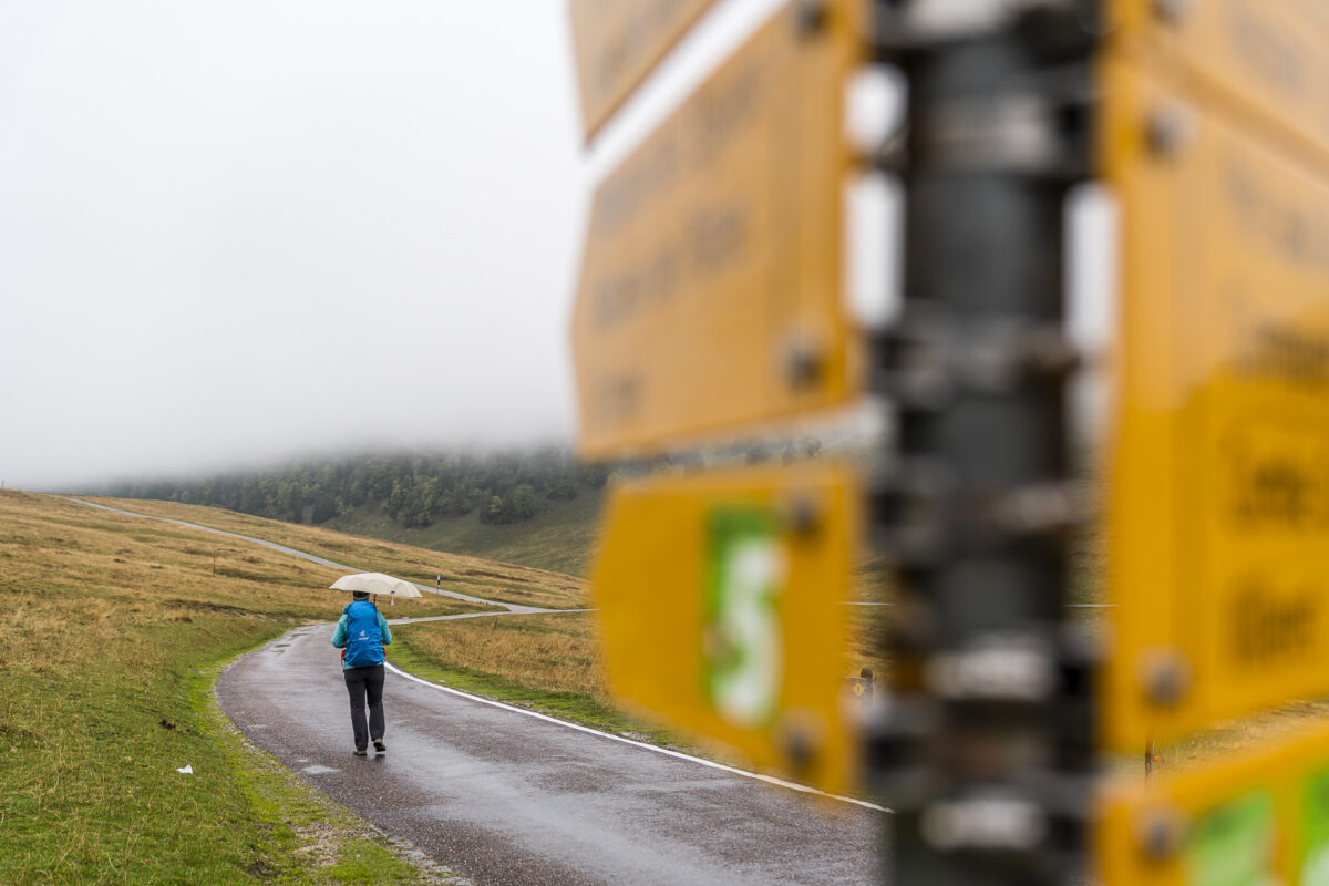
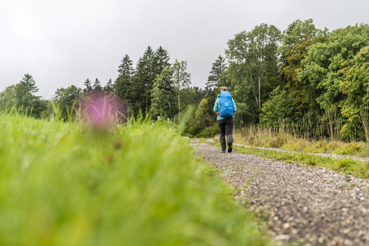
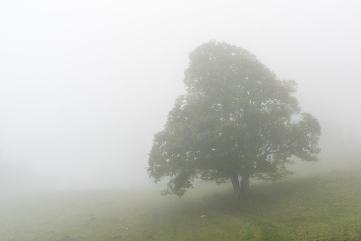
I spent a lot of time in the Jura in my teenage years and like the landscape up here so much, among other things, because of these gloomy foggy days. The Jura is great when the sun is shining – but it’s only when it’s foggy that it unfolds its full beauty. So we don’t let this dampen our mood, but march off equipped with rain gear, rain cover for the backpack and umbrella.
We descend to the north side of the Chasseral massif via a surprisingly alpine-looking path behind the rugged limestone cliffs. By the way, we are here in the middle of the Chasseral Regional Nature Park, which extends in the triangle of La Chaux-de-Fonds, Neuchâtel and Biel and has existed since 2012.
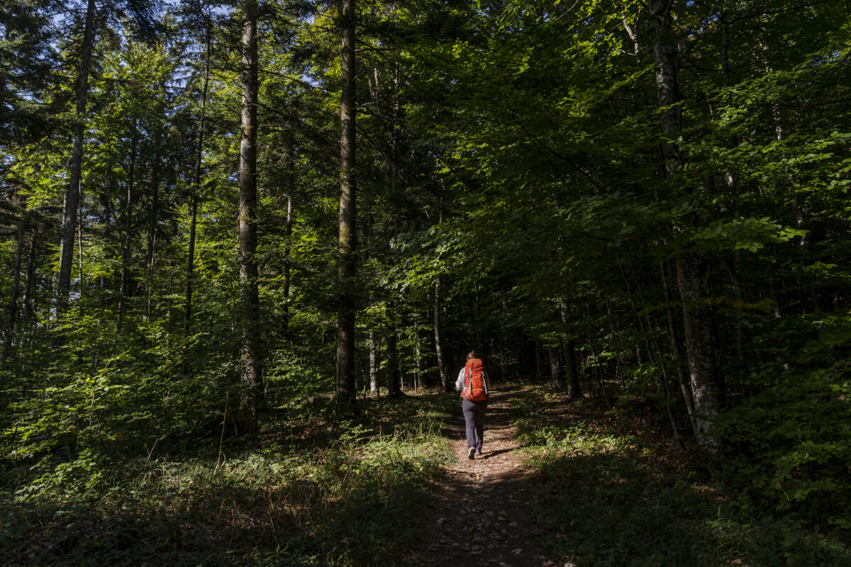
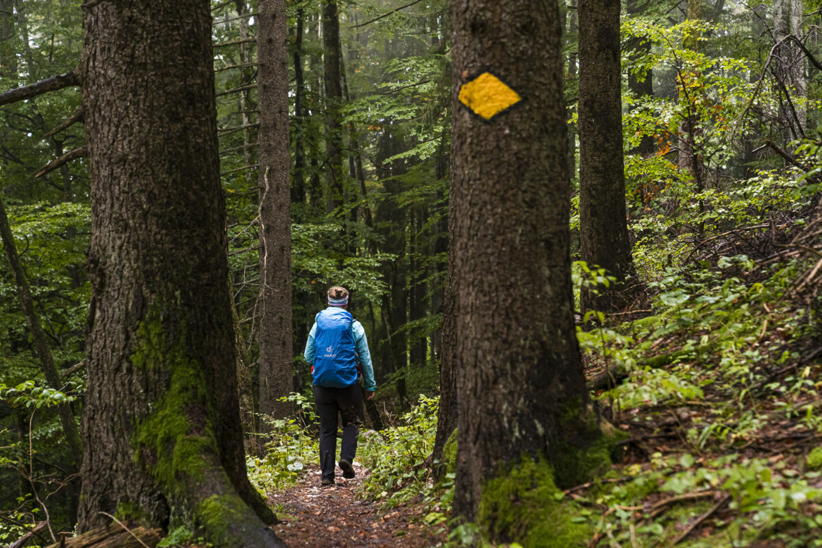
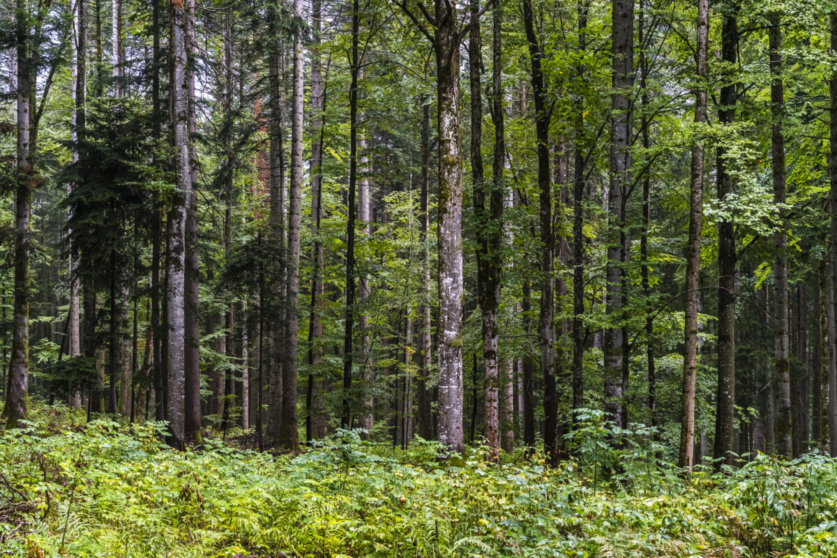
The following section is one of the most beautiful of this two-day hike. We first follow a tarred road over Jura pastures to the Metairie Frienisberg. From there, the trail continues across (rather wet) meadows into the wooded Combe Biosse. Here an enchanting, varied forest path awaits us; Sometimes wider, sometimes narrower, sometimes steep and stony, sometimes flat and springy. Only the course of the Ruz Chasseran is marked by summer, dried up.
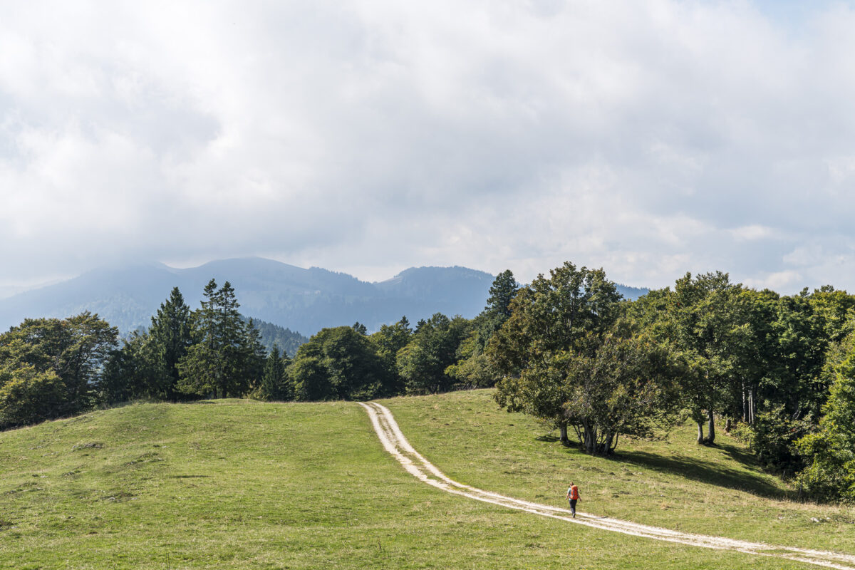
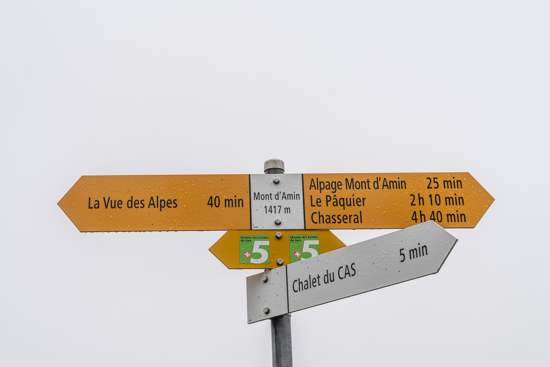
After the Combe Biosse, the trail leads us through the small village of Le Pâquier and continues along the tarred roads to the hamlet of Le Côty. From here, the ascent to the highest point of today’s tour – Mont d’Amin – begins, which takes just over two hours.
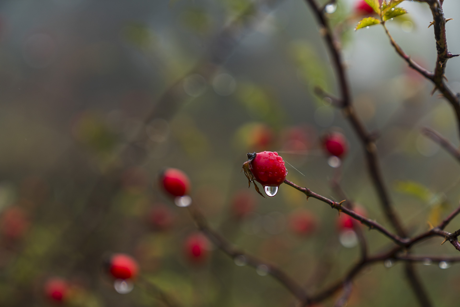
After the fog had lifted in the meantime and the rain had subsided, it is now clouding in again. Not so tragic – so our gaze is drawn to the colorful splashes of color along the way. After a good five hours of hiking, the outline of the stage destination – the Hotel Vue des Alpes – appears in front of us. Unfortunately, the hotel has been closed since April. A somewhat desolate sight. Luckily, we don’t have to wait long in the rain here – we have coordinated our hiking time with the bus timetable and are already looking forward to a warming, hot chocolate in the bar/chocolaterie “Creme Renversante” in nearby La Chaux-de-Fonds.

Once again, two wonderful days of hiking on the Jura High Trail. Including the realization that sometimes you don’t have to worry too much about the weather.
Key data of the stage Chasseral – Le Pâquier – Vue des Alpes
On the map below you can see the route of the hike from Chasseral via Le Pâquier to the Vue des Alpes. Again, this is a yellow-marked hiking trail with a difficulty level of T1/T2. This stage is also long at just under 19 kilometers, but includes significantly fewer meters of altitude. Thus, it is a little less strict than the first stage on the Chasseral.
From the top of the Vue des Alpes pass, there are two bus connections to La-Chaux-de-Fonds in the afternoon all year round (according to the current timetable at 1:55 p.m. and 5:05 p.m.). Alternatively, you can also hike down (approx. 5.8 kilometres, 1.5 hours walking time).
| Starting point | Chasseral, Hotel (1,556 m above sea level) |
| Reachability | only seasonally accessible by public transport |
| Length | 18.9 kilometers |
| Elevation gain | ↗ 705 m 970 m ↘ |
| Duration | 5:30 p.m. |
| Destination | Bus stop Vue-des-Alpes (1,283 m above sea level) |
| Catering | Picnic (there are no refreshment stops directly on the path) |
Practical tips for your hike on the Jura High Trail
- Note that the tours are long, and there is only a limited possibility of abandoning the hike on the way or that the Jura High Trail does not pass any (stage 7) or only a few public transport stops on this section.
- Pack a rain jacket and an umbrella – the weather can change quickly in the Jura and is always ready for surprises.
- The hike on stages 7 and 8 of the Jura High Trail is recommended, depending on the weather and snow, from approx. End of March to end of November. The crocuses and daffodils provide a splash of colour in spring, the yellow gentian in summer and the colourfully coloured mixed deciduous forests in autumn.
- The hotel on the Chasseral is open all year round, although it is closed on Sunday and Monday evenings. Double rooms with integrated shower/WC cost 165 CHF per night. The double rooms with shared WC are cheaper (145 CHF). For families, there are also 3- and 4-bed rooms to choose from. Current price information and contact details can be found here: Hotel Chasseral
- There is currently no accommodation on the Vue des Alpes. If you want to add another stage here, then it is recommended to spend the night in La Chaux-de-Fonds.
- You can find more hiking inspiration on the trail of the Jura High Trail here: Route descriptions of other hiking stages
Leave a Reply