

Hiking tip: through the Vallon de Réchy to Lac du Louché
The Vallon de Réchy is one of the last side valleys of the Valais that is not accessible by paved roads. The untouched and protected valley landscape forms a wonderful backdrop for a varied circular hike. Together with my parents – who love to be in the mountains as much as I do – we went to the Chemin du Vallon de Réchy. A good four-hour round that makes hikers’ hearts beat faster.
Click here to go directly to the hiking map and the key data of the tour
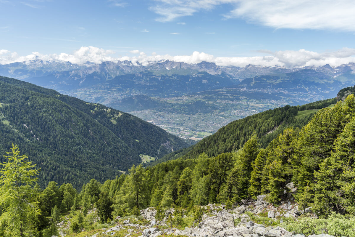
From the Crêt-du-Midi to the wild Vallon de Réchy
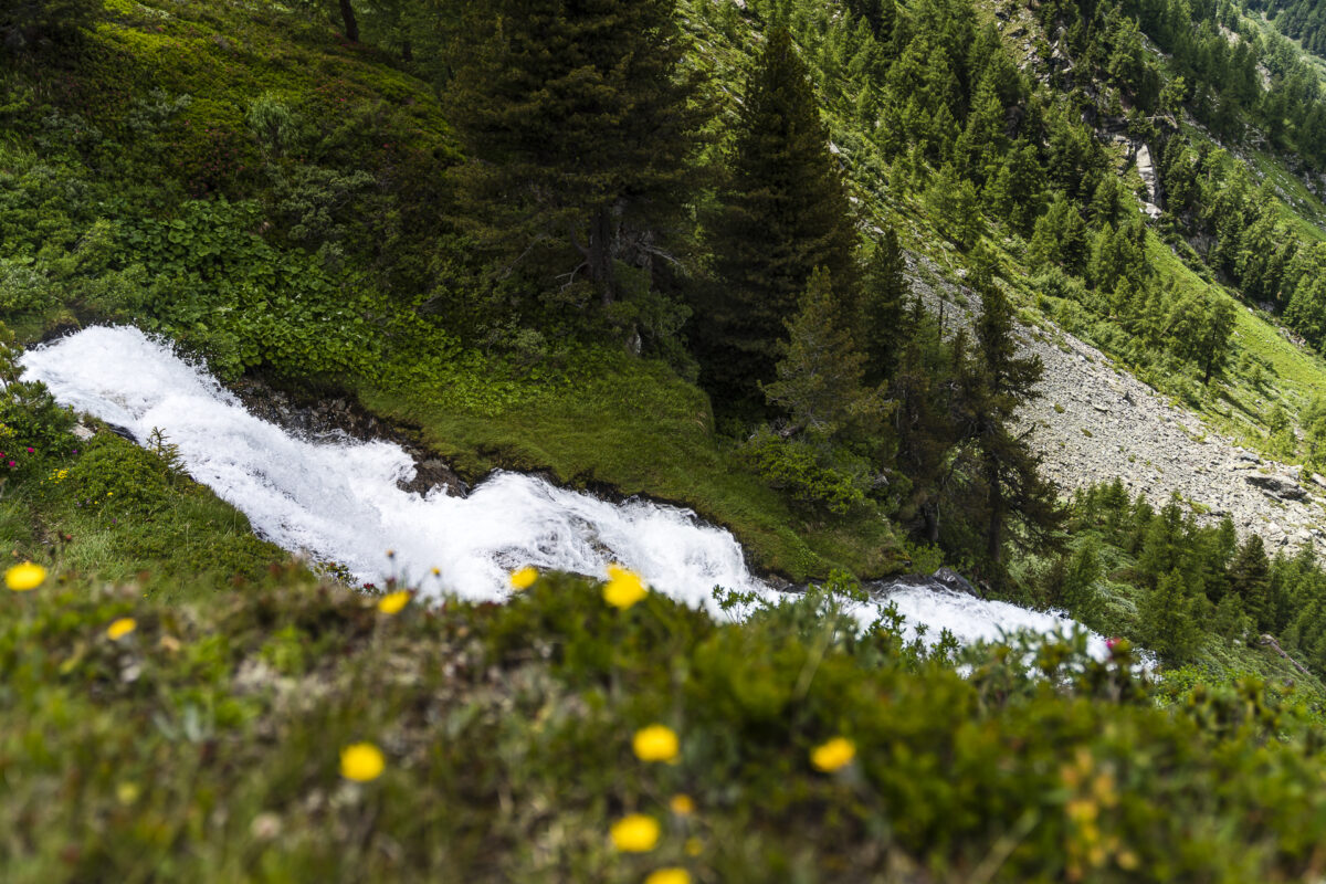
The Vallon de Réchy is sandwiched between the Val d’Hérens and the Val d’Anniviers, not far from Sierre. Various paths lead to the wild, untouched end of the valley. Either you follow the Chemin de Bisse from Vercorin (route no. 58) and follow the wildly roaring Rèche further upstream at the Buvette la Lé or you choose the leisurely variant – like us – and first gondola up to the Crêt-du-Midi.
From the mountain station of Vercorin’s local mountain, we can already see the natural end of the valley. And even though we arrive at the starting point of the hike an hour later than planned due to the cancellation of the train, we still take the time for a fortifying sip of coffee. More than coffee and a piece of cake from the day before, the offer of the self-service restaurant on the summit does not give away. It’s a pity – the panoramic sun terrace would otherwise have quite potential.
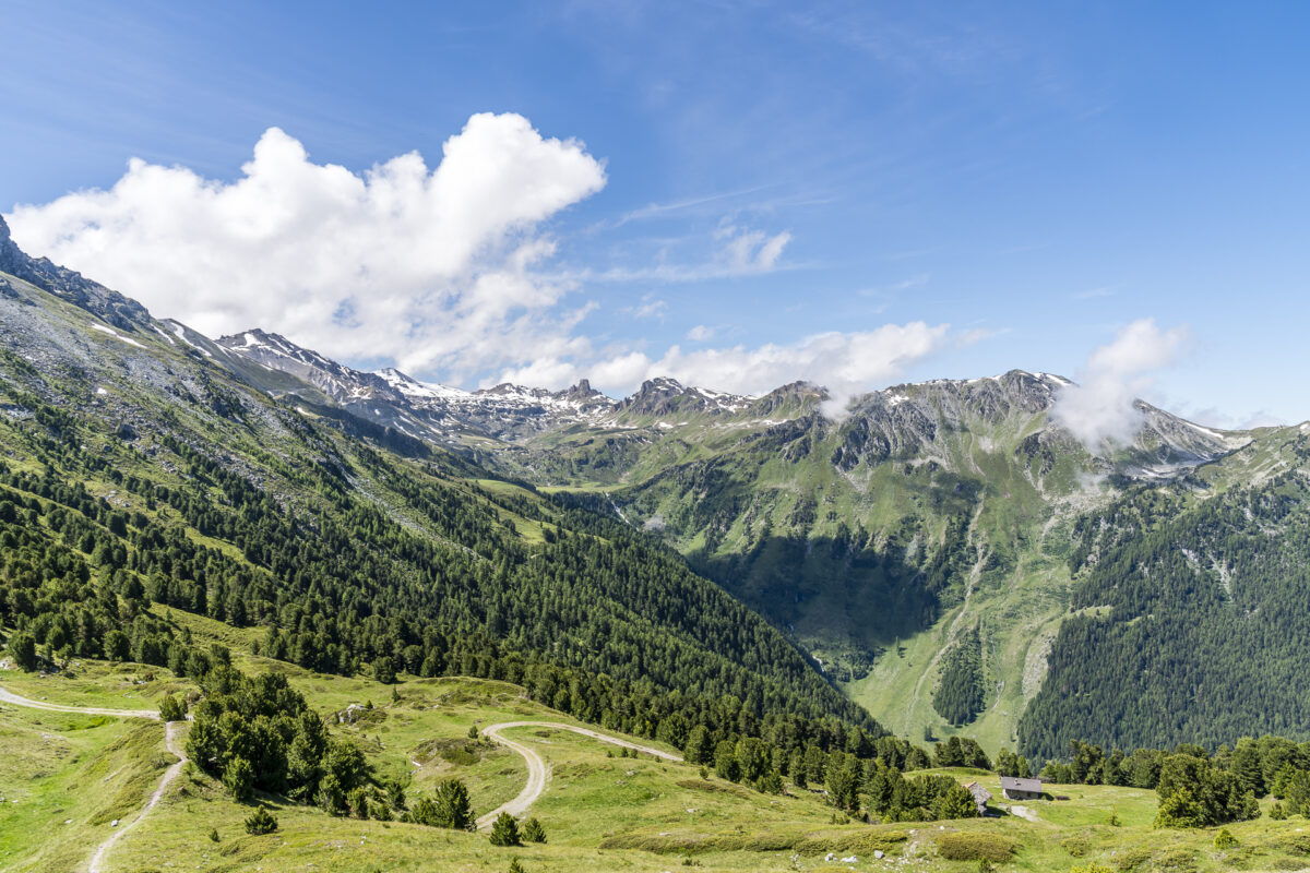
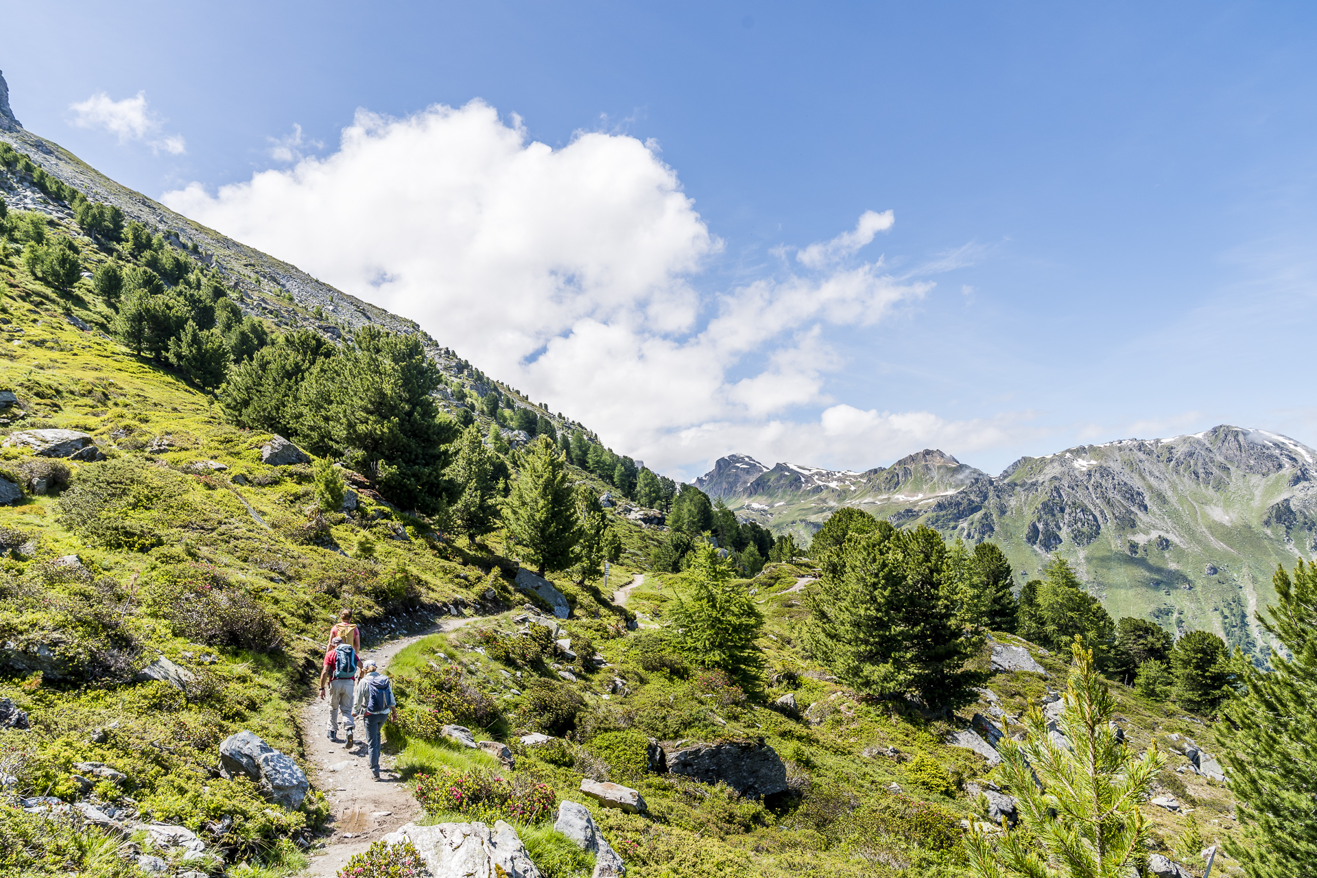
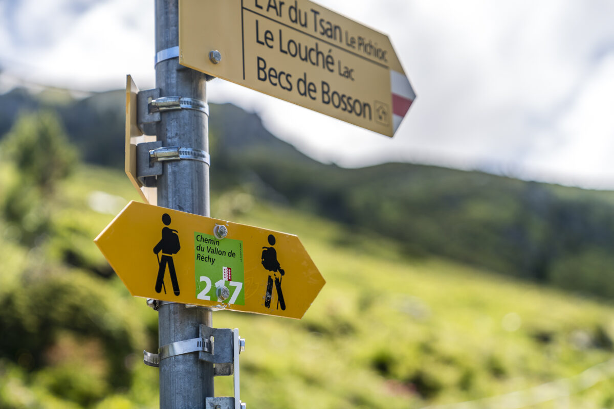
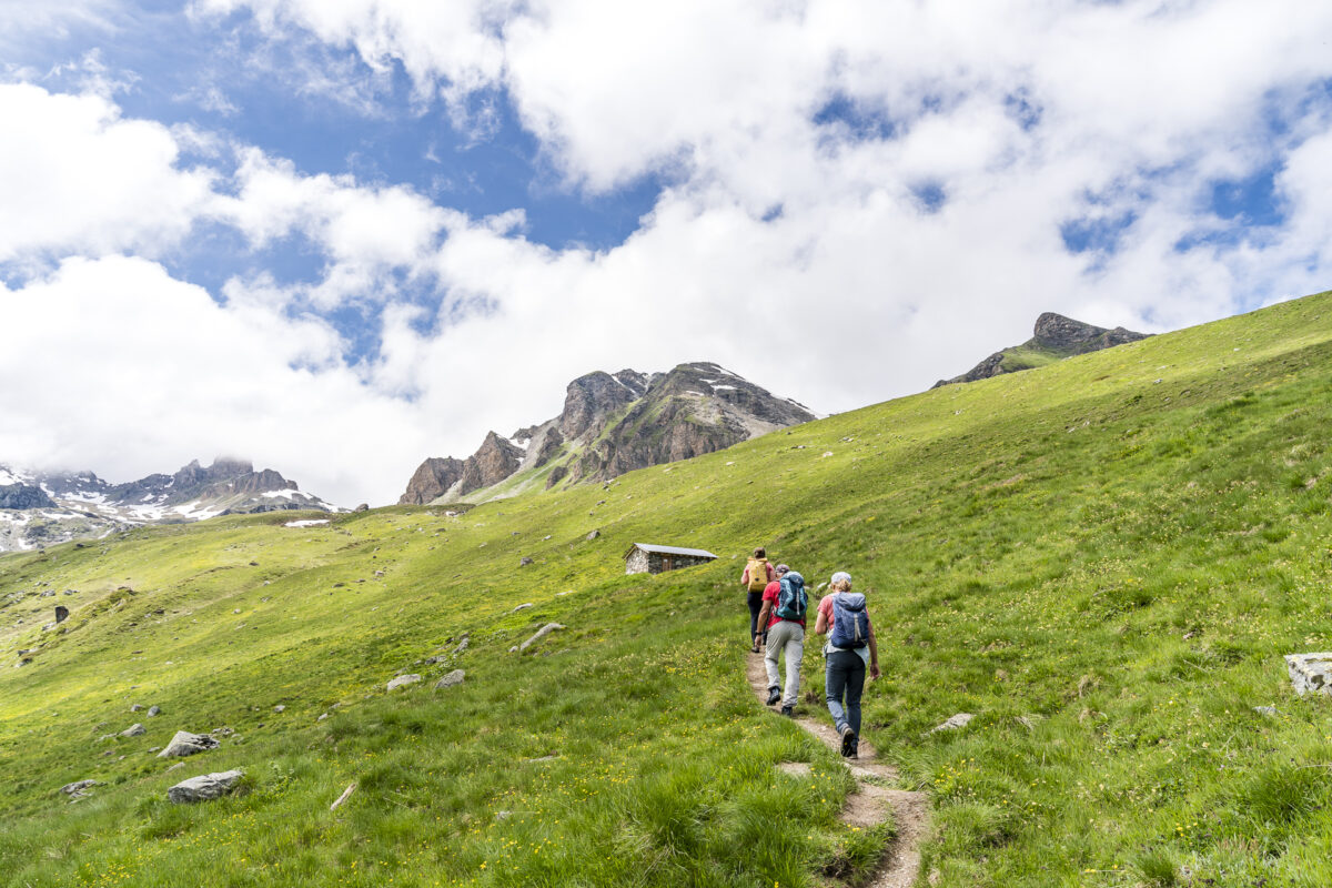
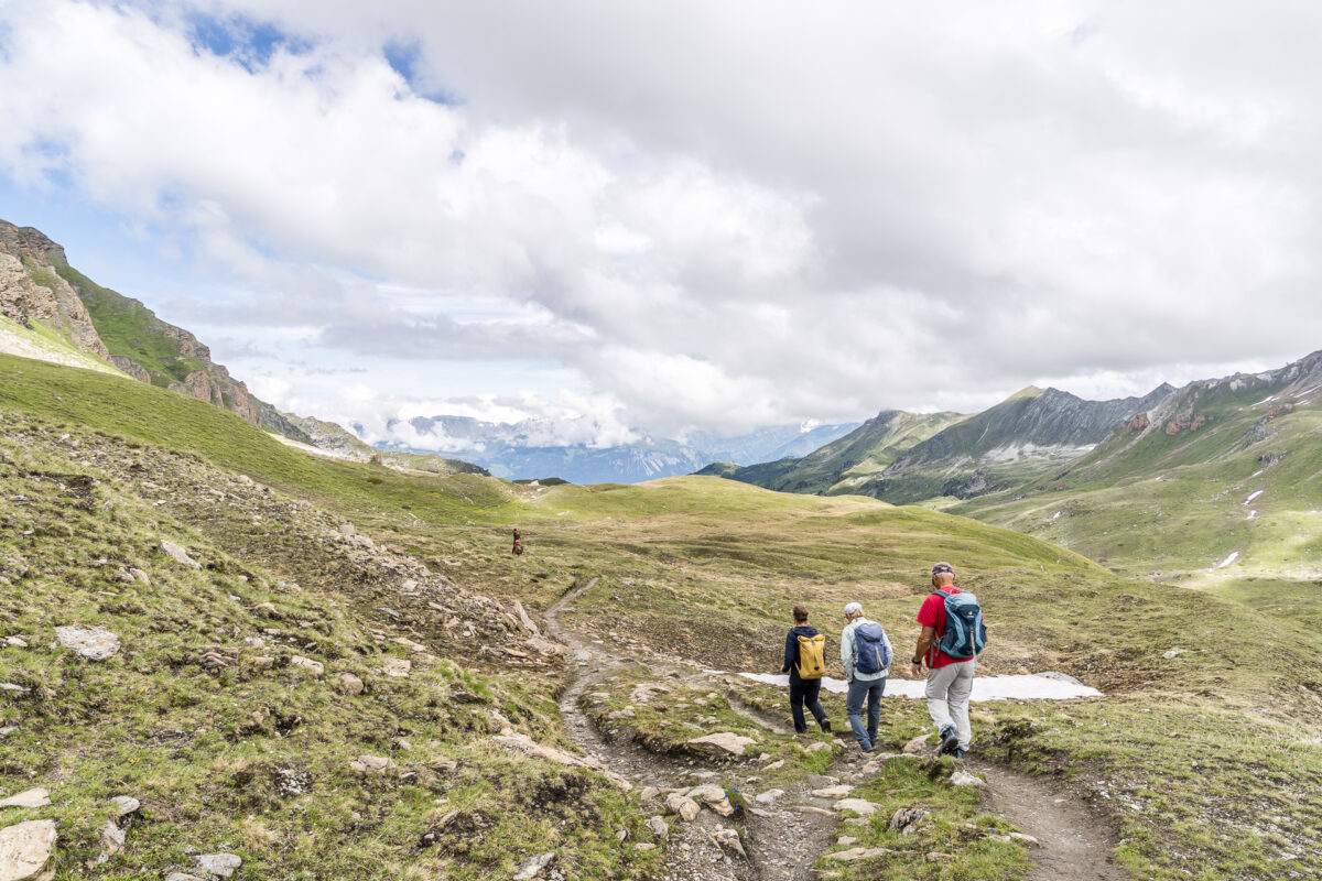
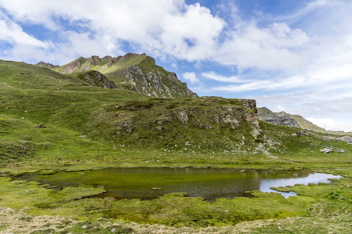
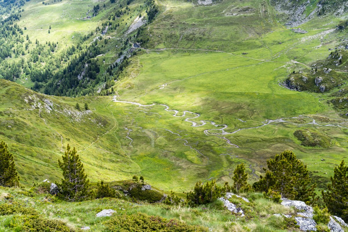
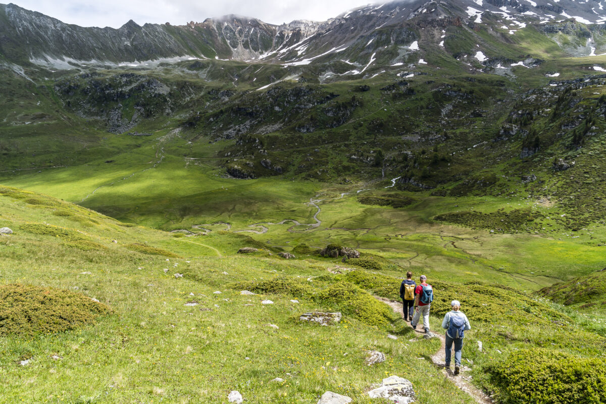
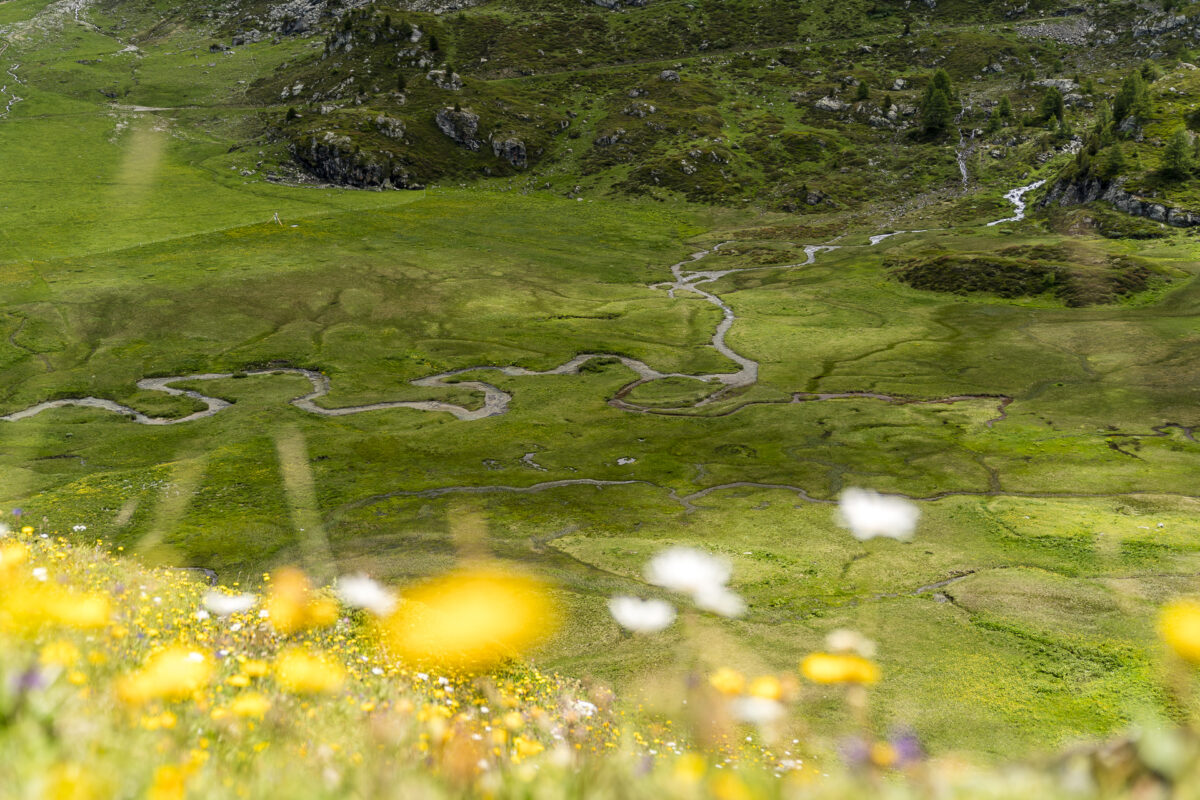
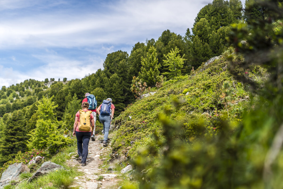
Strengthened and motivated, we then make our way towards the end of the valley. The circular hike is signposted with route number 217. First, we follow a narrow, root- and stone-strewn path along the edge of the slope through loosely stocked terrain. At the beginning it goes quickly – we also lose a slight difference in altitude (how hard it goes effectively downhill here becomes noticeable at the latest on the way back). After almost two kilometres and almost 200 metres of “lost” altitude, the mountain path turns into a wider gravel path. We follow this road until we reach the Ar du Tsan moorland.
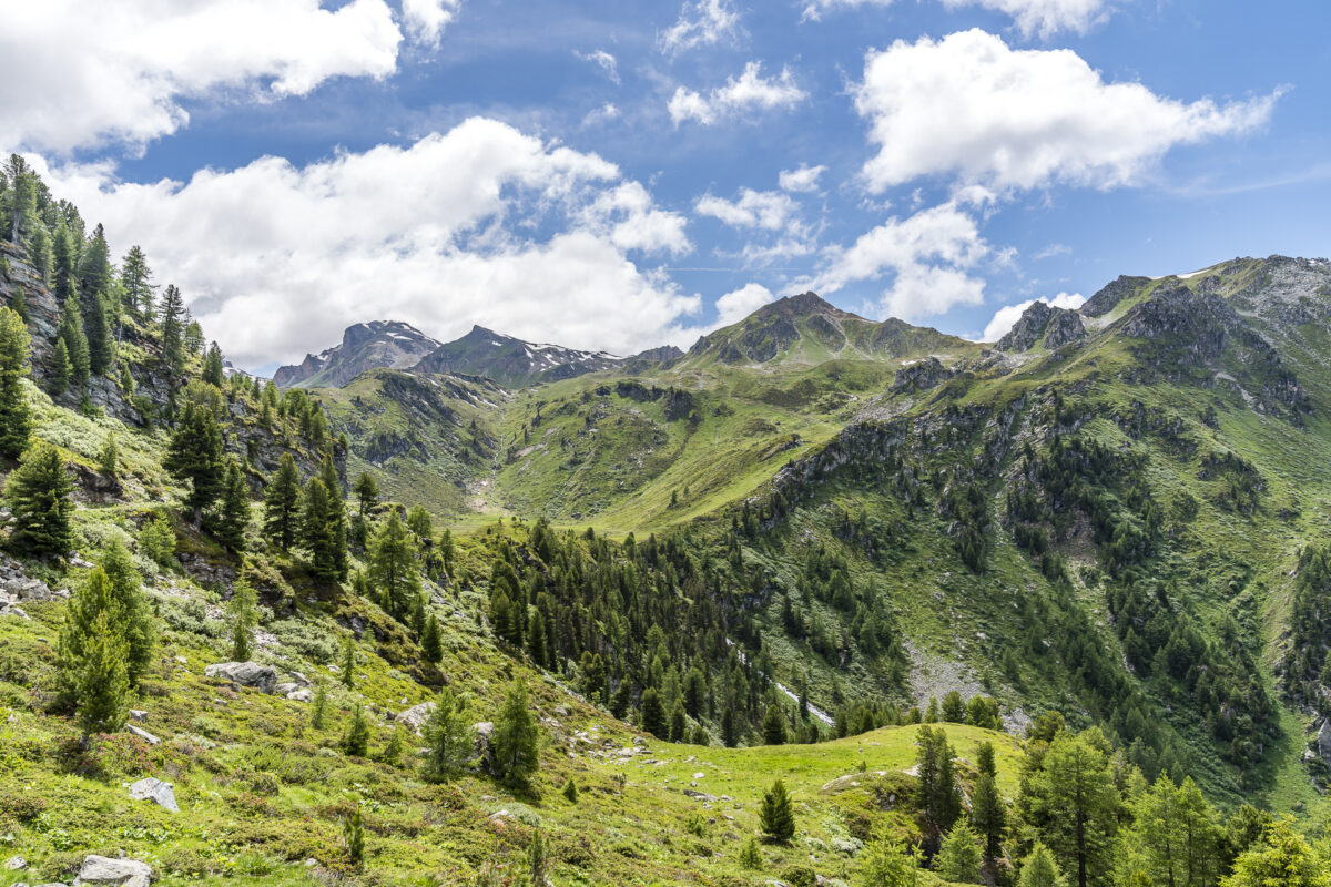
From here on, it is now a matter of making up for the altitude difference and continuing to climb along the high valley towards the end of the valley.
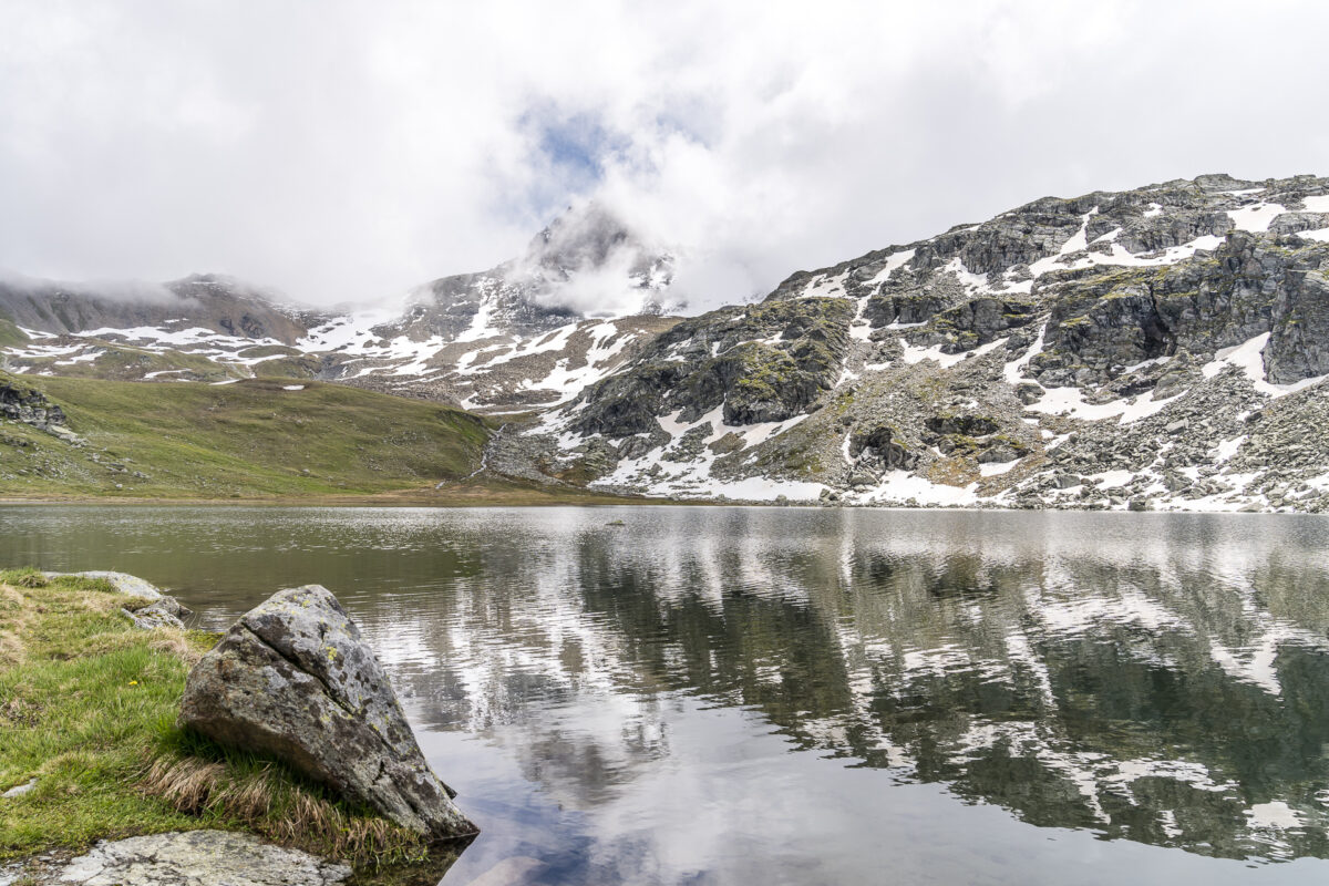
Mountain lake love at the Lac du Louché
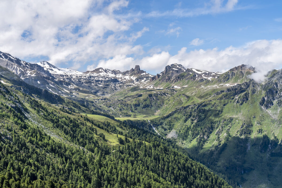
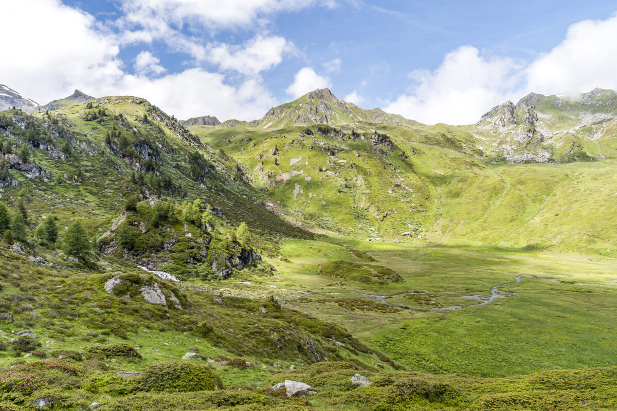
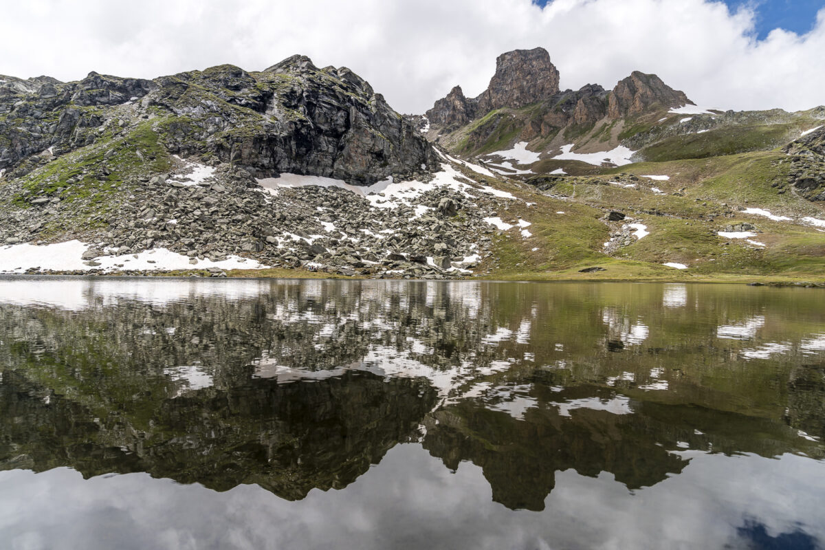
The turning point of the circular hike is at the mountain lake “Lac du Louché”. The day is already too far advanced to spot wildlife. But if you’re on the road early enough, chances are good that you’ll spot chamois or ibexes back here. But the scenery around the mountain lake with the famous Becs des Bosson and the rocky summit “La Maya” is also impressive.
Scenic loop back to Vercorin
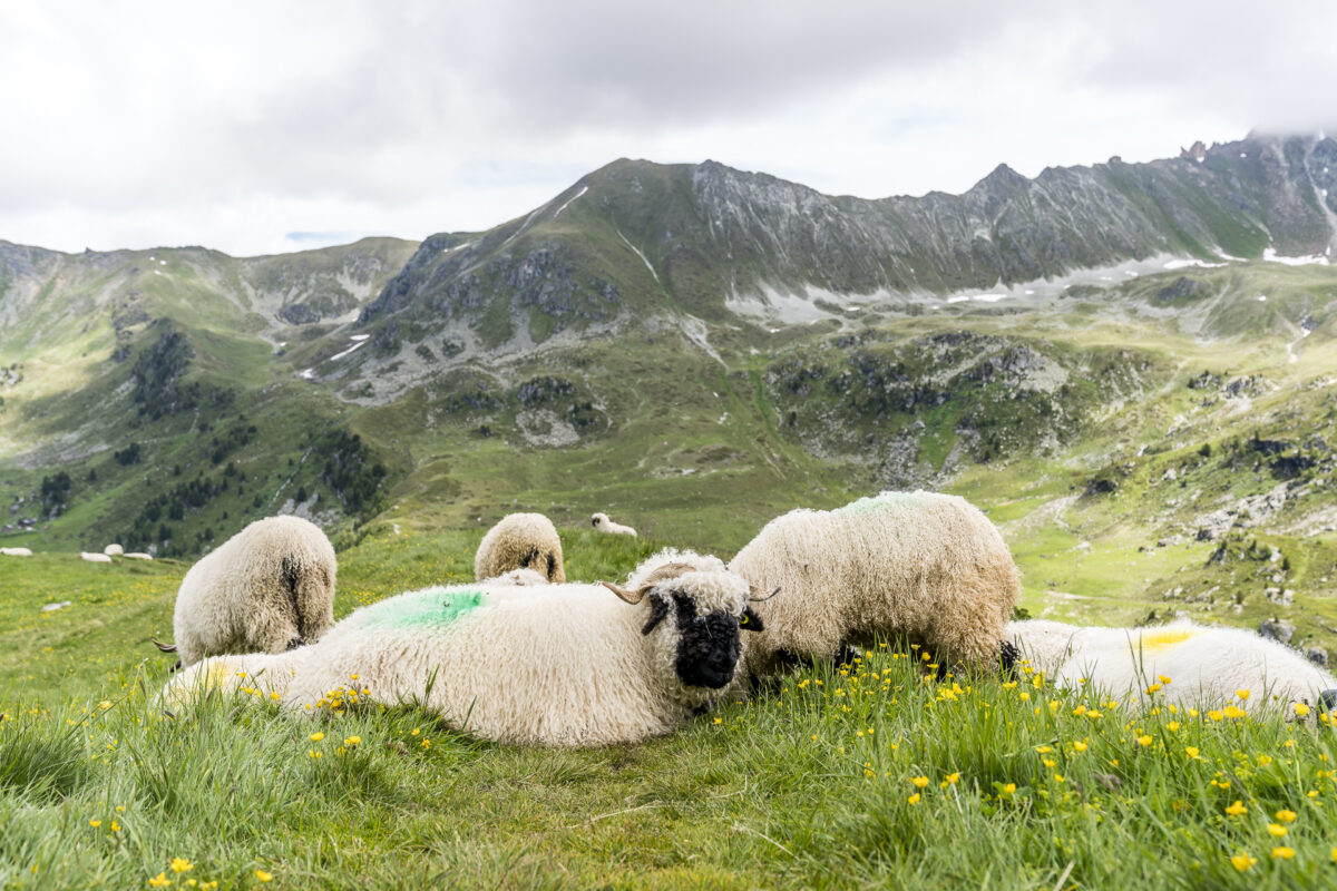
After a short picnic break at the mountain lake, we follow the circular route on the east side of the high valley back towards Crêt-du-Midi. On this section of the trail, we are accompanied by the far-reaching view out into the Rhône valley as well as the deep view of the meandering watercourses of the Ar du Tsan and fluffy black-nosed sheep, which enjoy their well-deserved siesta in the middle of the mountain path, unimpressed by all the migratory birds. And as I said: on the last two kilometers there is unfortunately nothing to do with a leisurely run-out – here the 200 meters of altitude back to the Crêt-du-Midi really pour out again. But so be it. Our hiking group agrees – this was an all-round successful mountain tour.
Practical tips for your hike through the Vallon de Réchy
On the map below you can see our route along the Chemin du Vallon de Réchy. The route measures 14.8 kilometres and includes an ascent of a good 700 metres in altitude. We did the round clockwise, which makes sense in my opinion, as you can enjoy a beautiful view of the high moor on the way back. In addition, there is a constant gradient in this direction without particularly steep passages. It took us about four hours for the round, including the break. The Chemin du Vallon de Réchy is a mountain trail of difficulty T2. There are neither particularly sloping nor technically tricky passages and up to the high moor you can also hike well with smaller children (at least we met some families on this section).
You can reach the starting point of the hike with the Vercorin – Crêt-du-Midi gondola. Vercorin itself can be reached either by bus from Sierre or by gondola from Chalais. The summer season of the Vercorin – Crêt-du-Midi gondola lasts until 24 October. Until then, the gondola lift will be in operation daily from 9:00 a.m. to 5:00 p.m. Up-to-date information on cable car operation can be found here: Summer season Vercorin
Eckdaten der Rundwanderung Crêt-du-Midi – Vallon de Réchy – Lac du Louché
| Starting point | Mountain station of the Crêt du Midi cable car (2,332 m above sea level) |
| Reachability | accessible by public transport |
| Length | 14.8 kilometers |
| Elevation gain | ↗ 700 m 700 m ↘ |
| Duration | 4:30 p.m. |
| Destination | Mountain station of the Crêt du Midi cable car (2,332 m above sea level) |
| Catering | Bergrestaurant Crêt du Midi und Buvette de Tsartsey |

Leave a Reply