

Lais da Macun – oops, lost the way
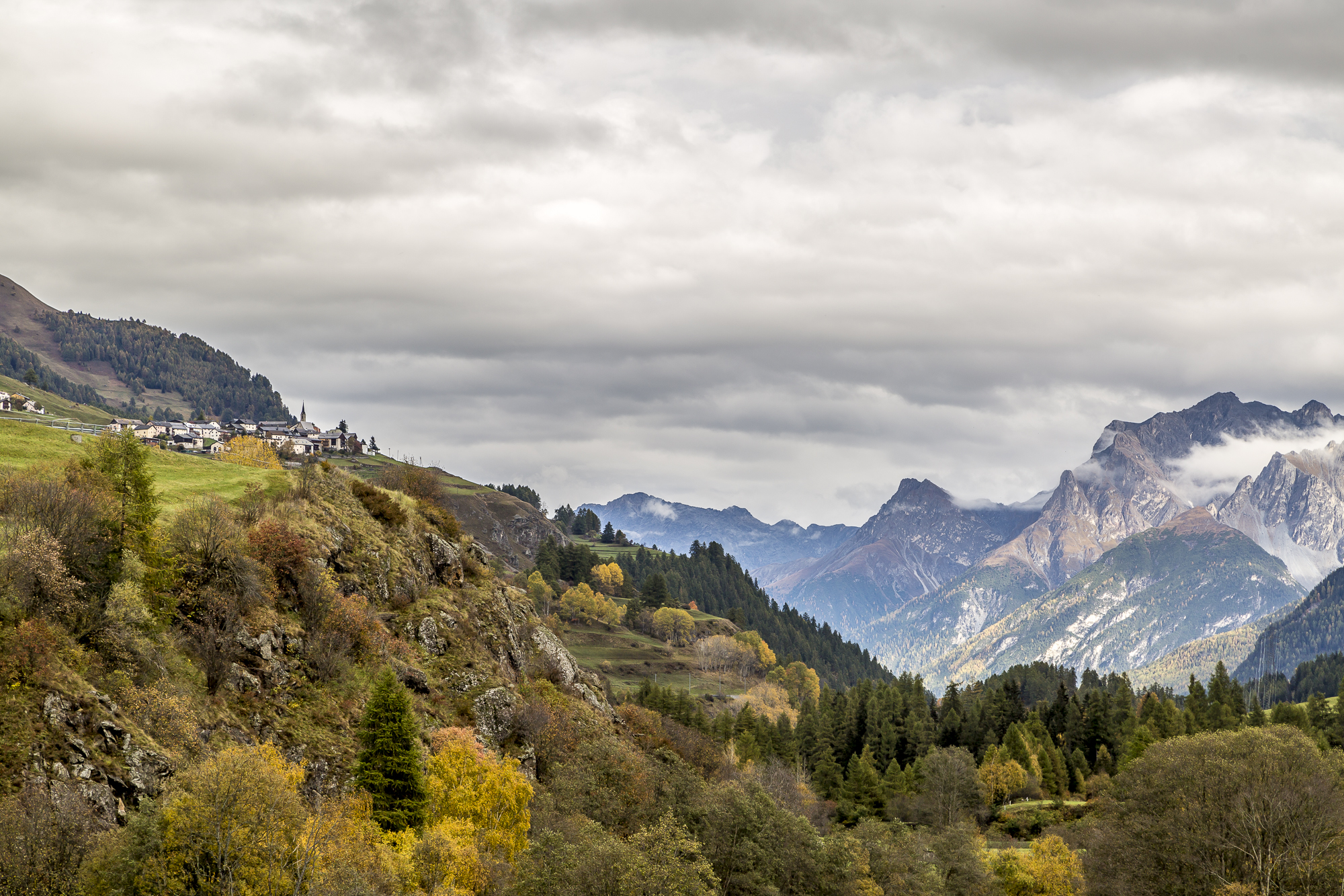
Should we or should we leave it alone? Indecisively, we study the dense clouds in the sky and the various weather apps. Every forecast is different. For some it rains as early as 11 a.m., for others only from 3 p.m. And even in the expected quantity, we have the whole range to choose from. Basically, I like gloomy weather when hiking. Passing clouds can change the mood every minute and I find that extremely fascinating. Only continuous downpours are not necessarily fun in the high alpine area and that would be the plan: high up to the Lais da Macun. The unique lake plateau is located at over 2,700 m above sea level high above Lavin and forms the only enclave and the youngest part of the Swiss National Park.
At some point we take heart and decide to dare the tour up to the lakes despite the uncertain weather conditions. You can get up to the plateau either from Lavin or Zernez. The normal route from Zernez takes between 7 and 9 hours, depending on your walking pace. We shorten the tour by two or three hours by taking the Macun shuttle in Zernez. The privately operated taxi service runs by appointment from Zernez train station up to the hut at “Plan Sechs” (see map section). This saves you a few strenuous meters of altitude. The taxi service costs up to three people 75 CHF (in total). With a maximum of 8 people, the cost is reduced to 16 CHF / person.
Over hill and dale
After a 20-minute, bumpy and adventurous ride on gravel paths up the steep larch forest, we reach “Plan Sechs”. From now on, our own muscle power is required. We set off and, thanks to the sun’s rays shining through from time to time, we are confident that the weather will still hold up bravely. During the ascent to the Munt Baselgia, we pause again and again to catch our breath and admire the magnificent view towards the Upper Engadine and the Ofen Pass.
The last meters of altitude up to the summit at almost 3,000 m above sea level are tough. Large boulders have to be overcome. With hands and feet I slowly fight my way up. Surefootedness and a certain degree of a head for heights (which is not always quite as pronounced as it should be for me) are a must on this section of the route. After about two hours we are on the summit. Unfortunately, the weather has deteriorated so much in no time that we can only barely make out the Macun Lakes below us. After a short note in the summit book, which is hidden in a gamele at the cairn, we continue our hike.


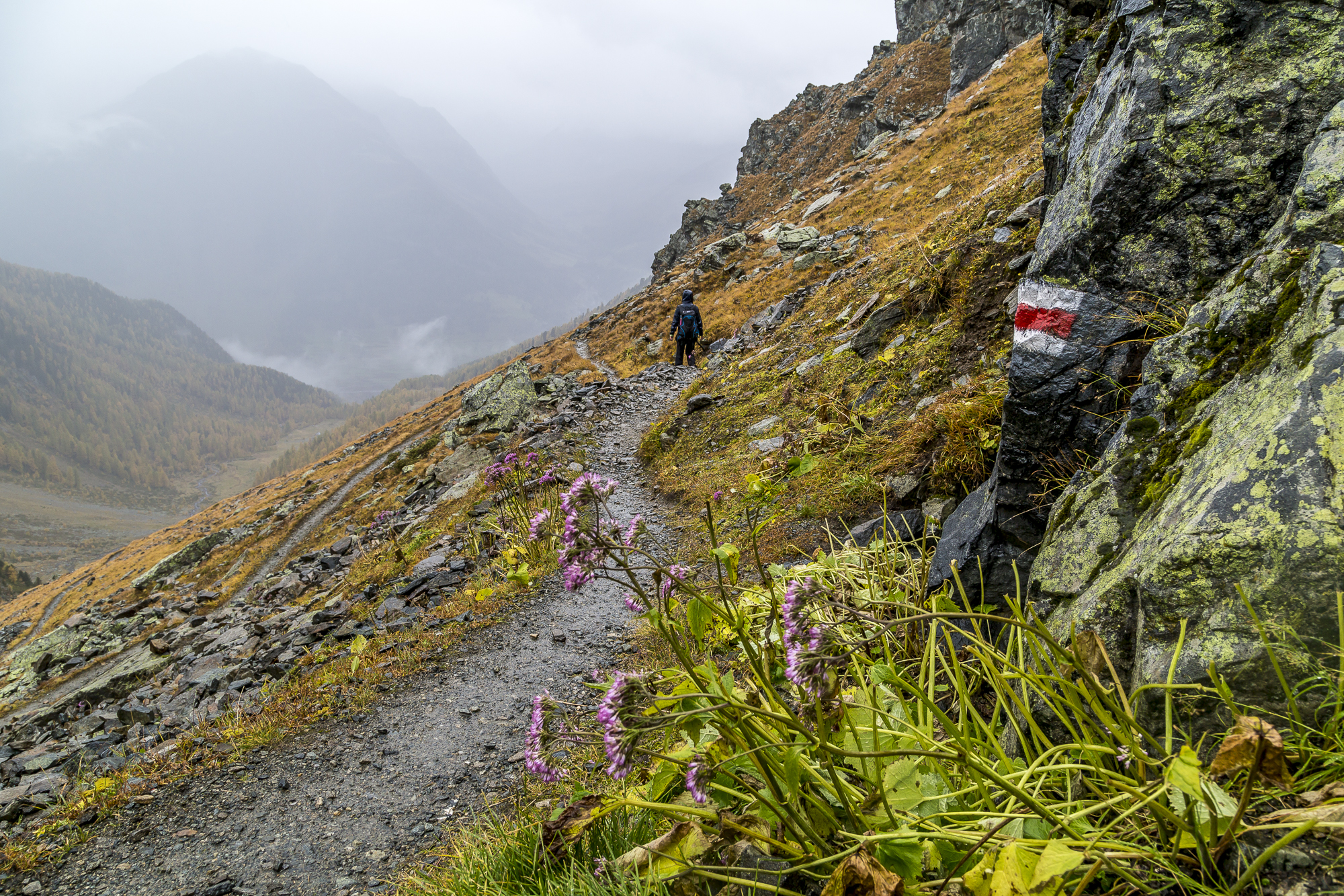
Wandered in the fog
The descent to the lake district is a tough one. The ridge above Macun is shrouded in fog. We carefully balance over the large stone blocks. According to the map, the path leads straight ahead to the lakes after a short turn to the right. Easy, isn’t it? But suddenly we lose sight of the red-and-white painted hiking trail markings. Neither in front of us nor to the right or left of us a clue where the path could continue. With a queasy feeling in our stomachs, we decide to go in one direction and hope that it is the right one. After an odyssey over hill and dale, the fog lifts for a short moment. Luckily, because of course we marched in the wrong direction (despite the compass check and map).


Macun Lakes – Pure
Nature
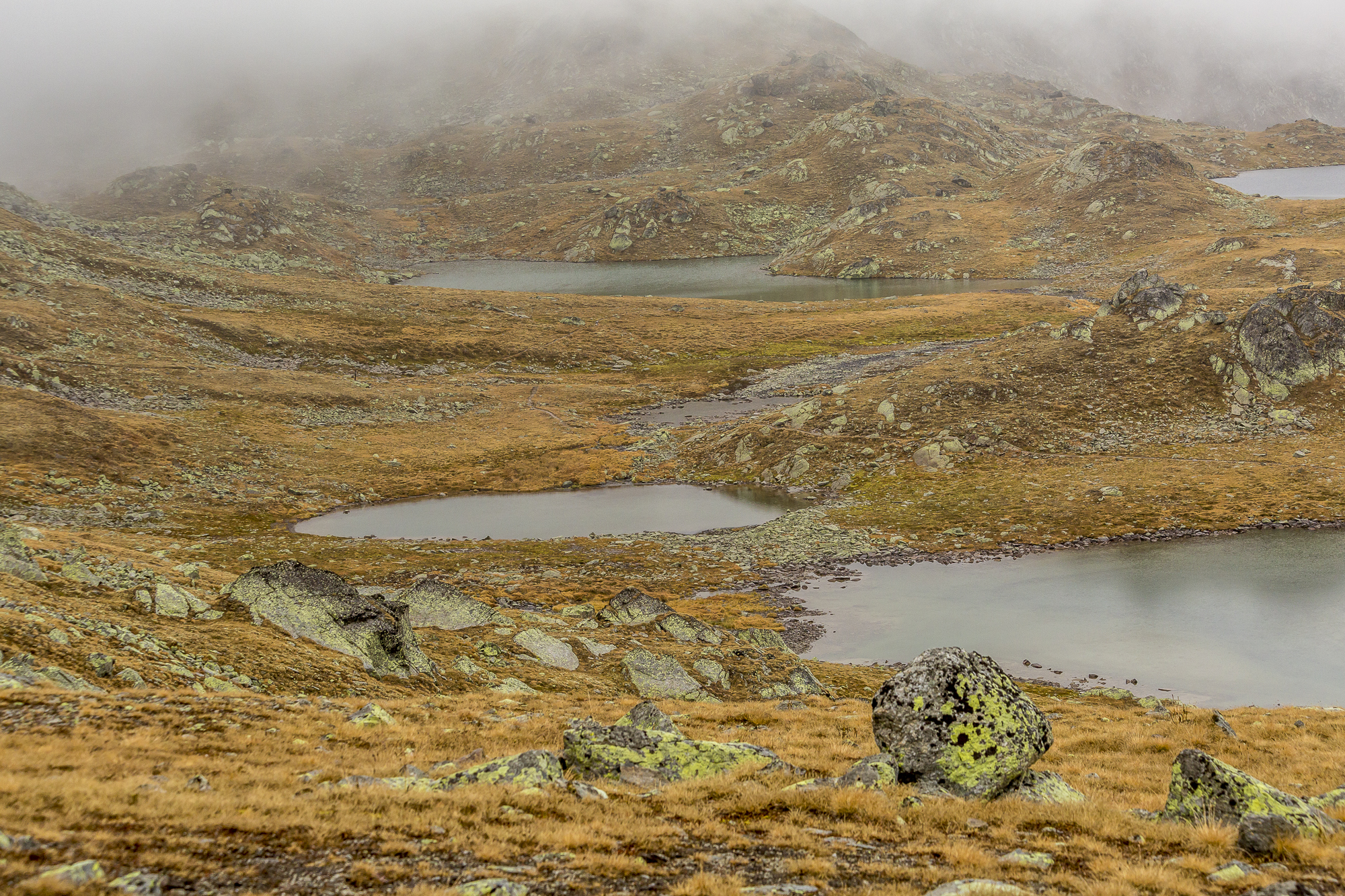
Back on the hiking trail, we finally see the Lai da Sura in front of us and a little further back the Lais d’Immex. Even with the gloomy mood and the slowly onset of raindrops, it was a beautiful sight. Since the weather suddenly deteriorates faster than expected, we forego the additional detour to Lai dal Dragun and start the descent towards Lavin after a short chocolate refreshment stop.


Colourful downhill
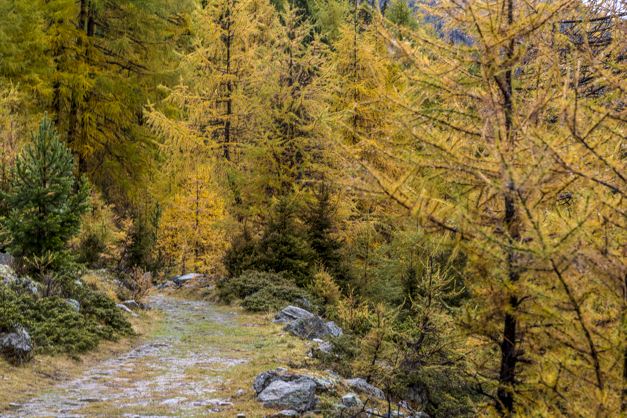
The individual raindrops give way to a torrential downpour in no time. Even our good clothes can hardly withstand this. After the paths also turn into small torrents, every step is followed by a gurgling sound from the hiking boots. Hallelujah, hiking down the valley with soaking wet hiking boots is definitely not exactly what you want. Fortunately, the colorful spectacle in front of us consoles us a bit over the fact that the weather has played a little trick on us.
Less than two hours later, just below Alp Zeznina Dadaint, the rain subsides. On the last section, even the sun pays us a short visit. At the Lavin station below, only the wet feet remind us of the rain march. The rest of the clothes are almost completely dry again. Once again, however, the weather has proven that it clearly has the upper hand in the mountains and good equipment (especially maps) is essential. How long would we have been looking for the right way if the fog hadn’t taken pity on us for a moment?
Nevertheless, I am glad that we decided to do the hike despite the capricious weather. Because the Engadine mountains cut a fine figure in the Hebst garb even in bad weather!


The map shows our route. The route is around 13 km long and includes an ascent of 750 metres in altitude and a descent of around 1,550 metres in altitude from “Plan Sechs”. The pure runtime is around 5.5 hours. If you walk up from Zernez yourself, you will have to climb a total of 1,450 metres to reach the summit. The starting point in Zernez can be reached by the Rhaetian Railway. The Macun taxi is located just opposite the post bus stop at the train station. Lavin is also served by the Rhaetian Railway.

Leave a Reply