

On the chestnut path through the Malcantone
“I’m super prepared today, aren’t I?”, I say to my friend as we circulate with impressive precision along the hairpin bends through the Malcantone with the post bus. For my circumstances, I have indeed prepared myself in an exemplary manner. I picked out which post bus goes from Cademario – our starting point – to Breno and printed out a map section including a planned hiking route. Just at that moment, the monitor reports “Next stop Breno, Crocevia”. “Do we have to get out of there?” the friend asks. “No, only at Paese’s,” I answer precociously. After all, I’m prepared. Wrong! Instead of turning right in the direction of Breno village, the post bus turns left in the direction of Miglieglia. What is this?! I curse and press the hold button. The next stop is Cassinelle, which is located a few meters below Breno. “Va bene?” the postbus driver asks us. Actually no, but it’s not his fault that I automatically assumed that post buses that pass by “Breno” automatically drive up to the village.
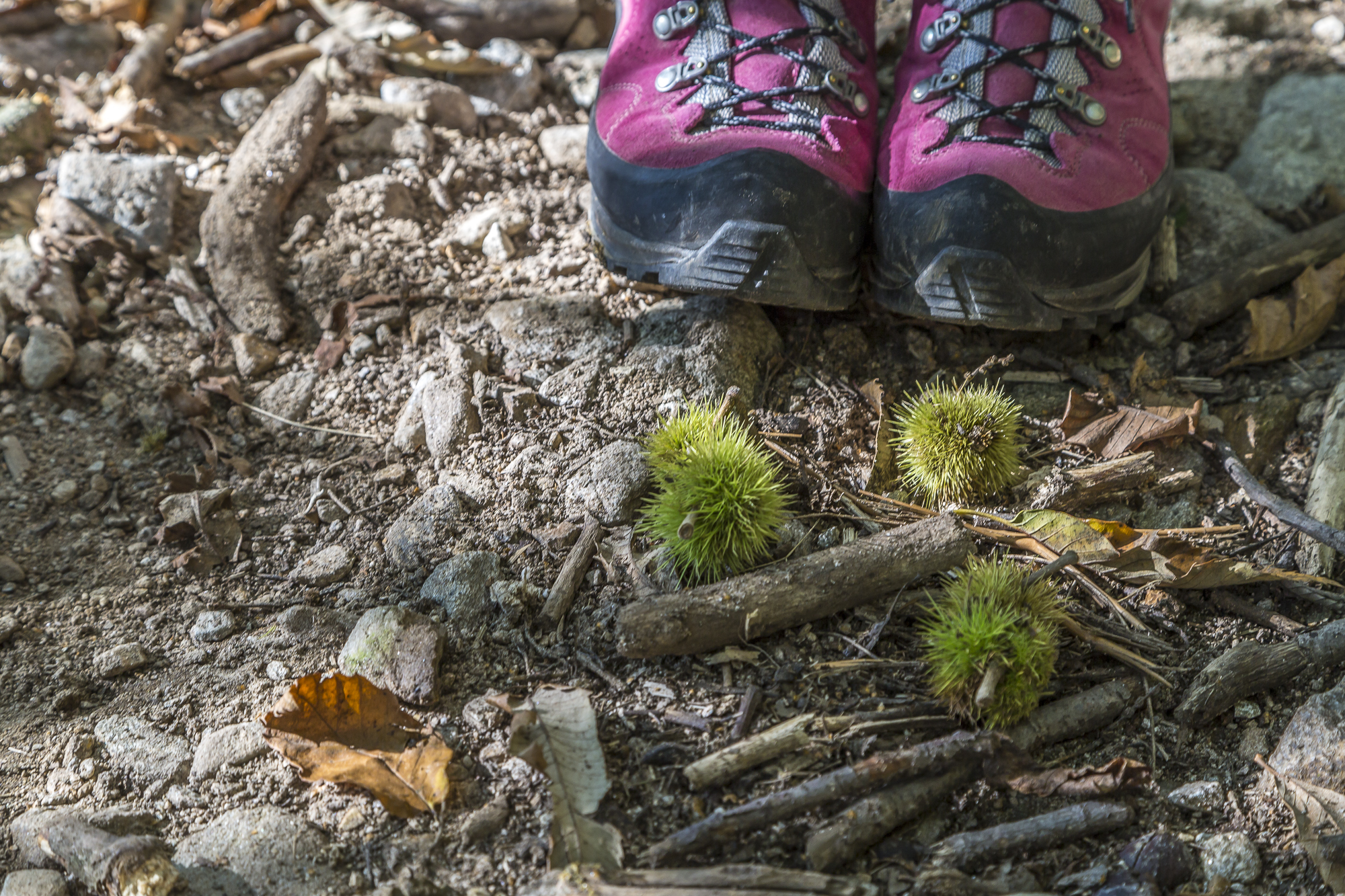
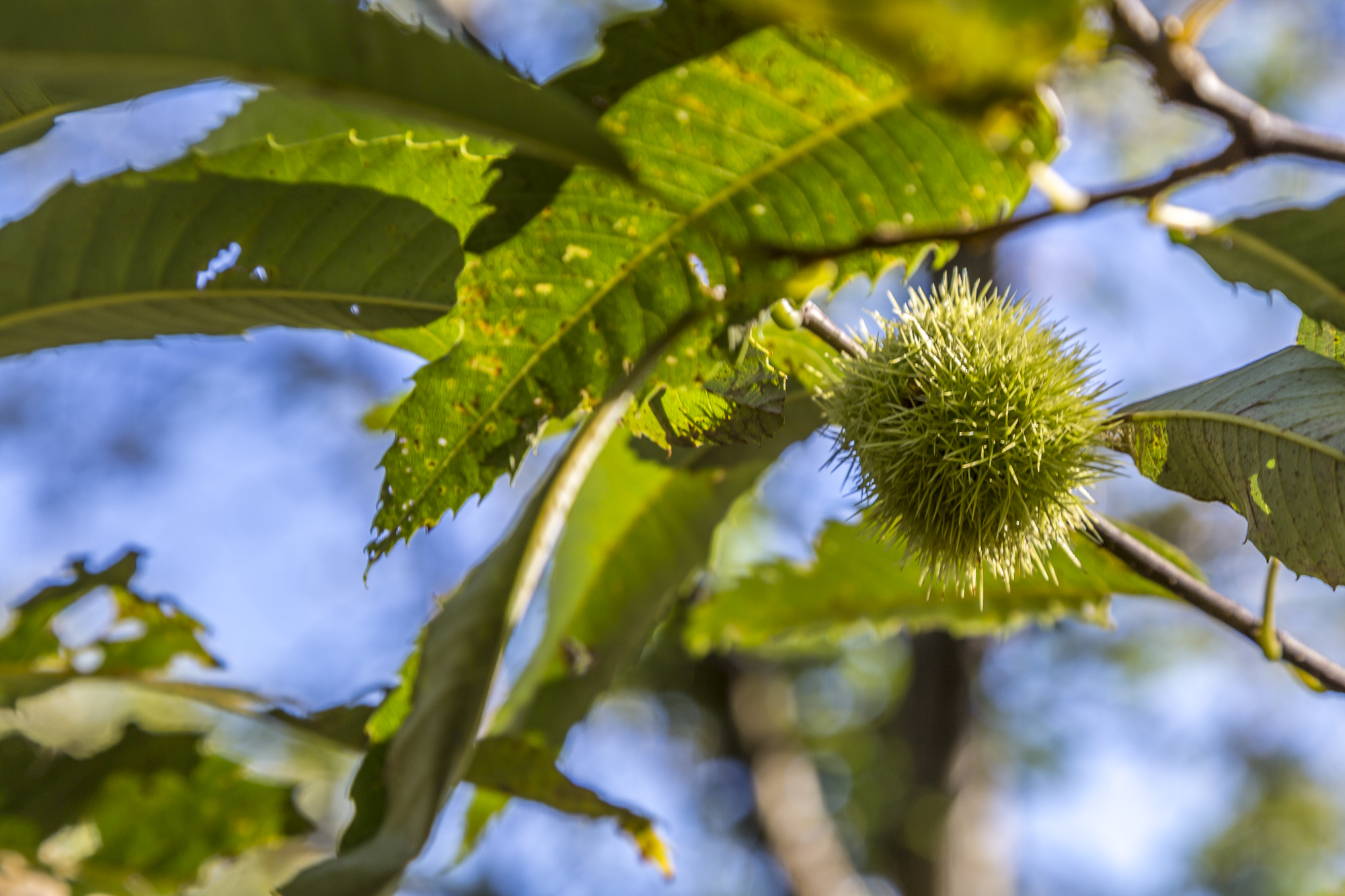
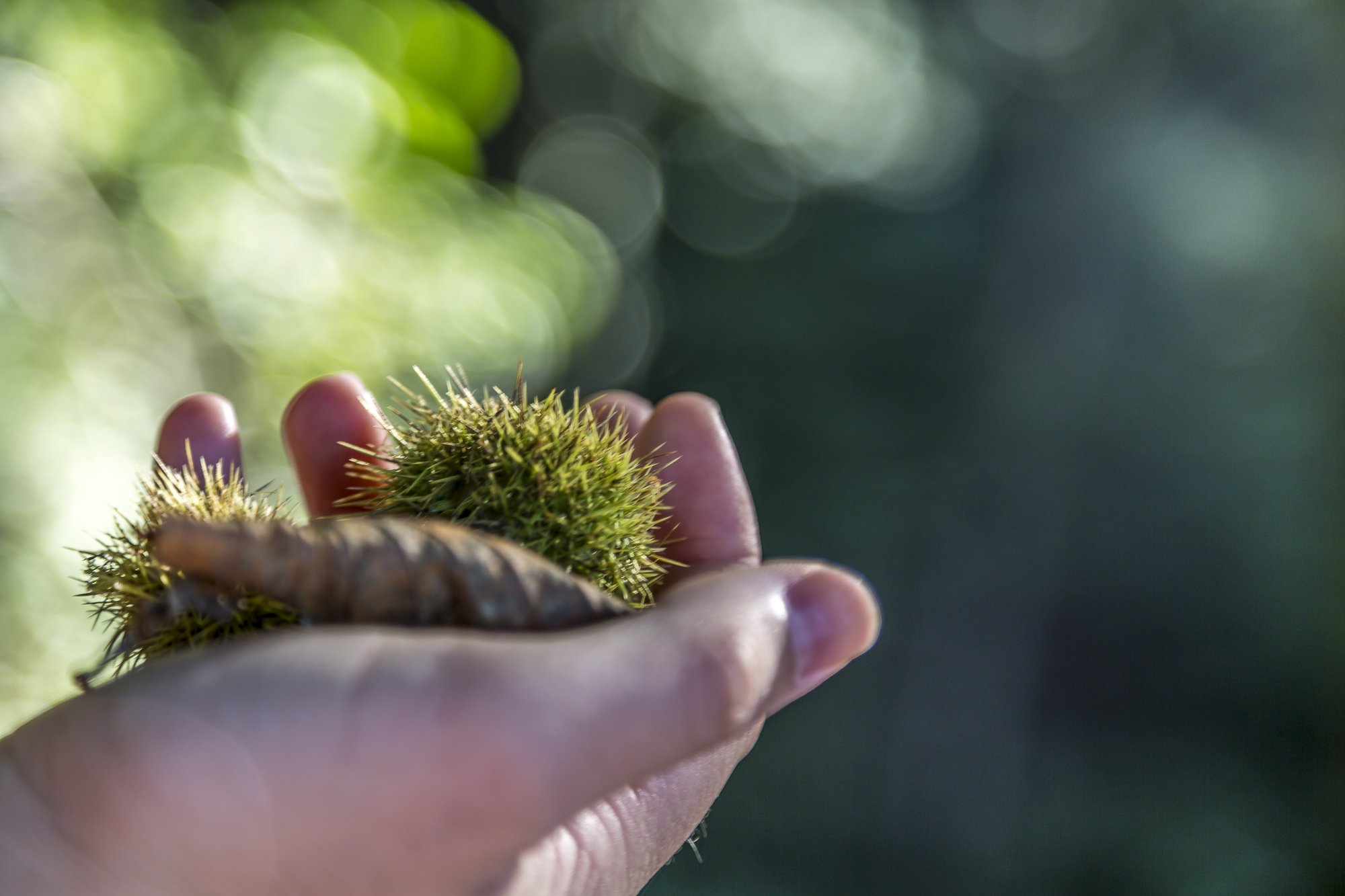
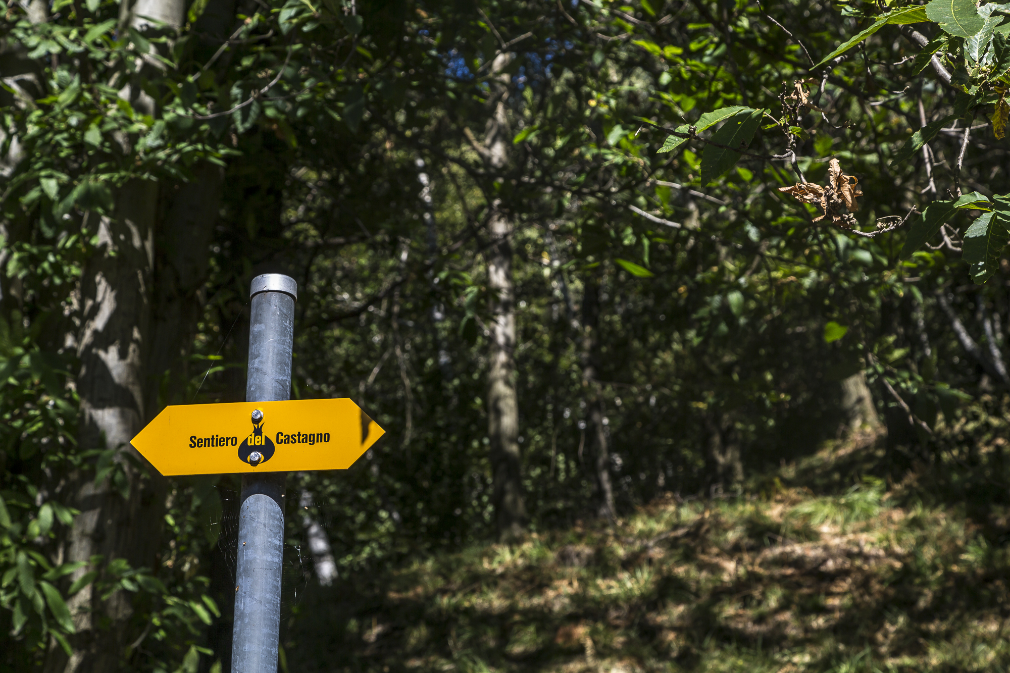
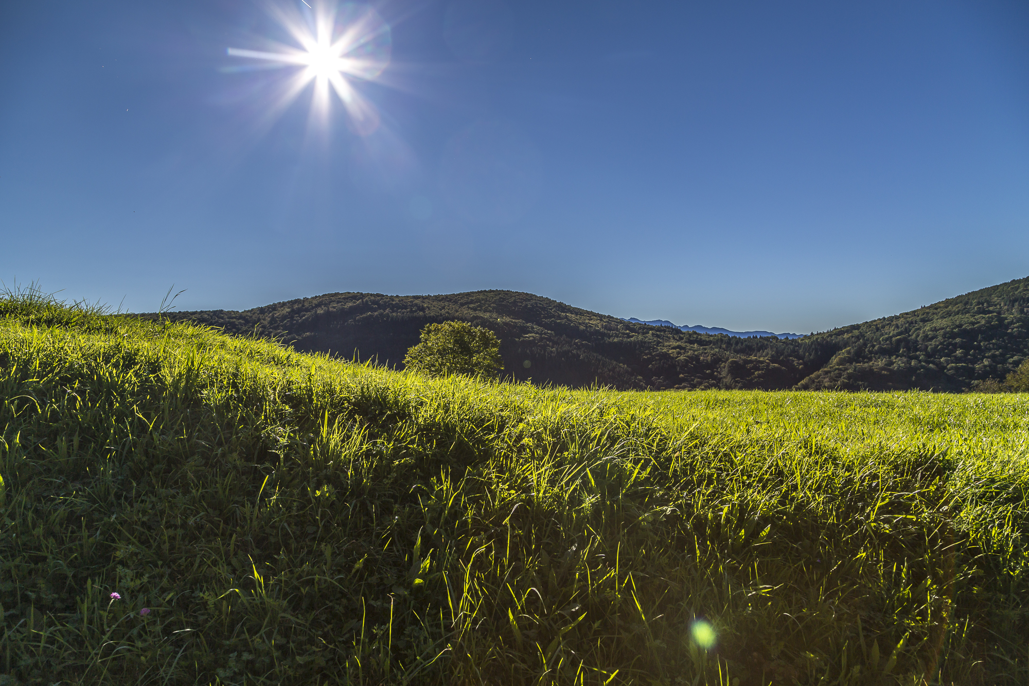
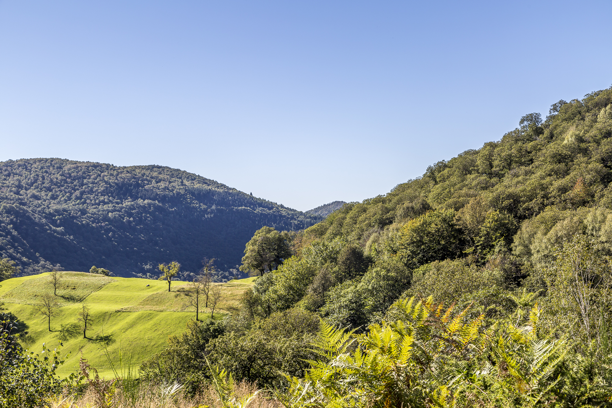
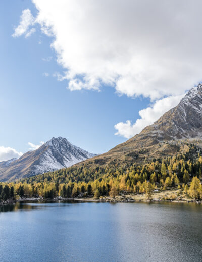
So our hike through the Malcantone begins unexpectedly differently than planned. Actually suitable for the region, which is neither fish nor bird. The Malcantone forms a landscape of its own, neither mountain nor plateau, the gently rolling hilly landscape stretches from Agno on Lake Lugano up to Monte Lema. The exact origin of the name of the region is not fully understood. Perhaps it stems from the fact that, due to the nearby Italian border, robbers, smugglers and other ambivalent characters have found shelter here from time to time. Another special feature are the extensive chestnut forests. In the past, chestnuts were the staple food of the Ticino population. There is also a themed trail dedicated to chestnut trees. Over a length of about 11 kilometres, the Sentiero del Castagno – Chestnut Path – leads past idyllic villages of the Alto Malcantone and through the chestnut and birch forests. We also want to walk part of the Chestnut Trail, but first we have to get to Fescoggia from our unexpected starting point.
Enchanted chestnut groves
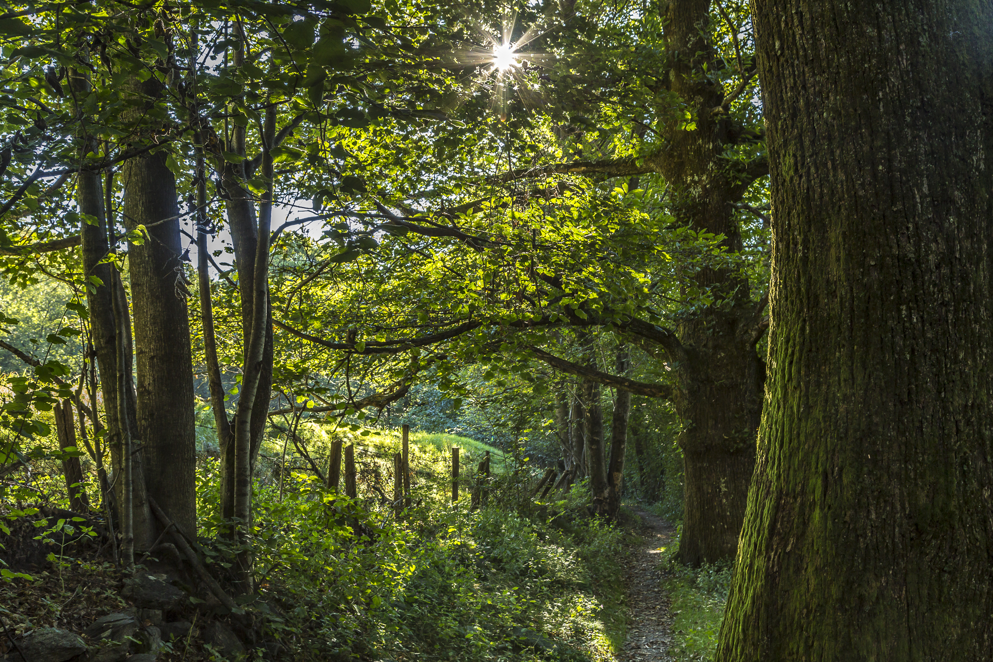
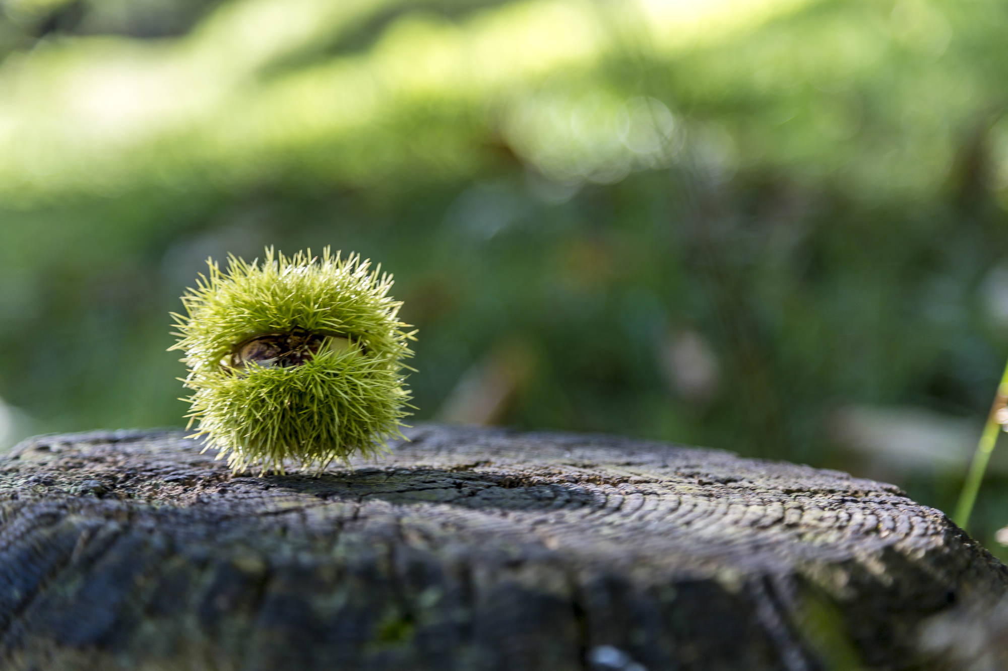
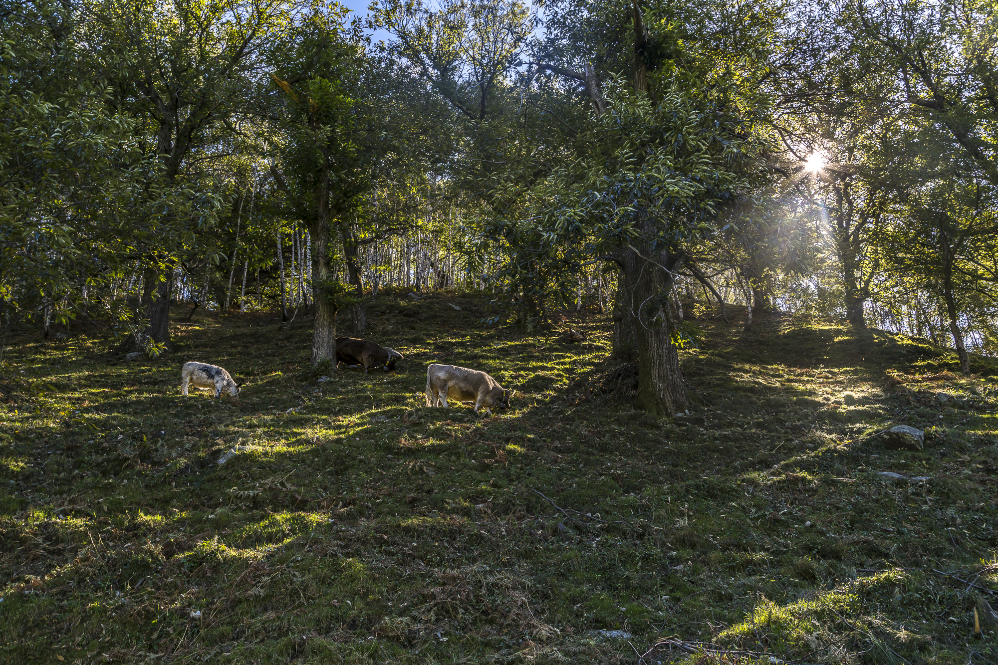
Fortunately, the Malcantone is criss-crossed with numerous hiking trails – which can sometimes be very confusing. So we reach the village center of Breno with a short detour and a great view of Monte Lema. From here to Fescoggia we follow the tarred road with little traffic for about a kilometre. After about 45 minutes we reach the junction to the Kastanienweg. From here, the trail leads along gravel paths in a gentle up and down through secluded chestnut groves and offers beautiful views of the villages of Vezio and Mugena.
Postkartenausblicke
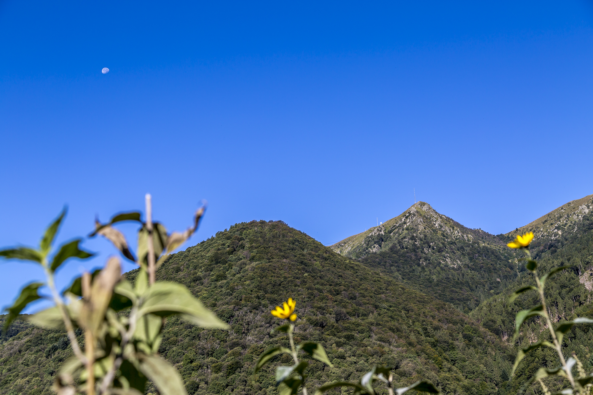
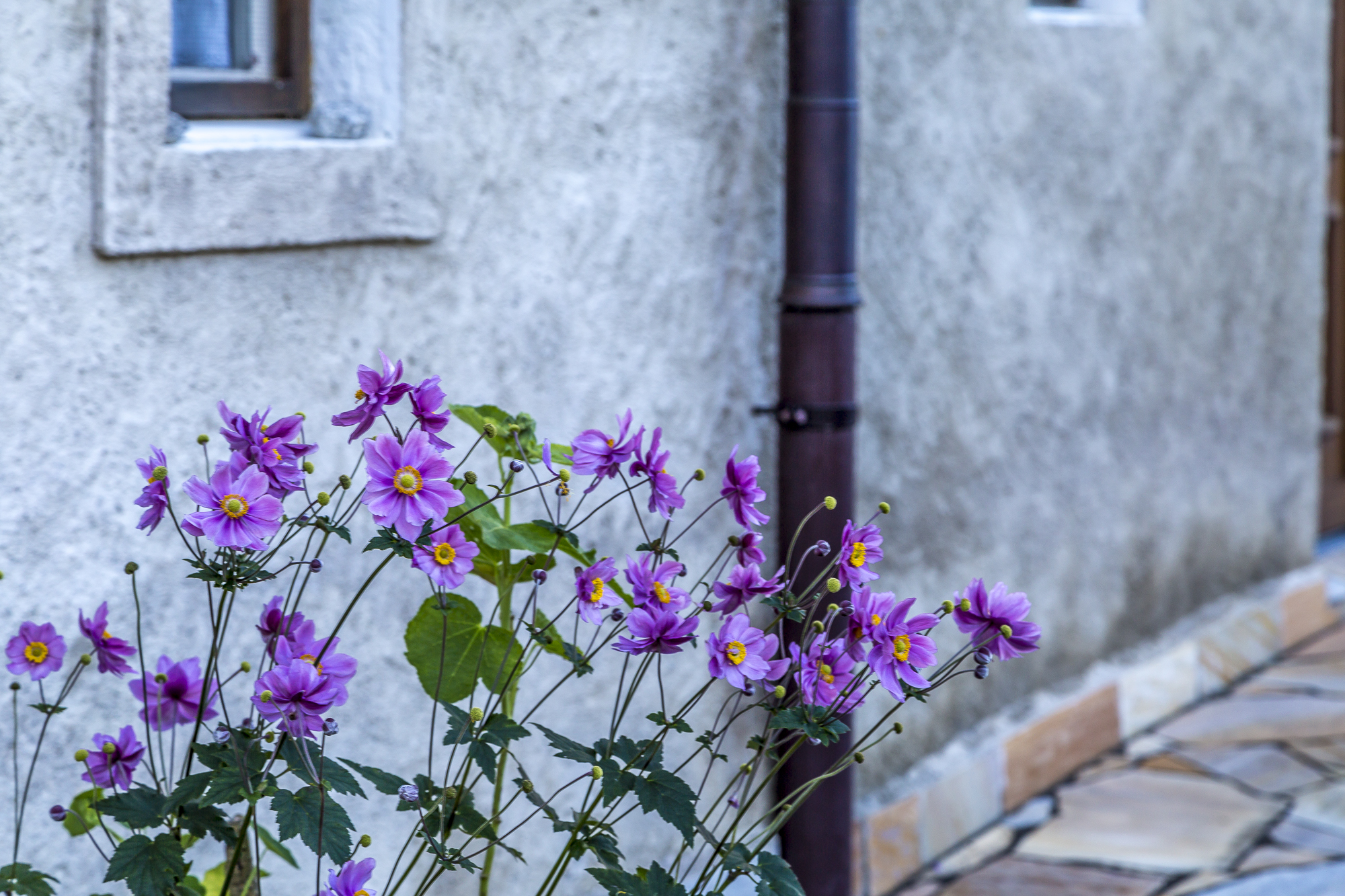
There is also no shortage of kitschy postcard views along the way. Anyway, Ticino lives up to its name on this day and delights us with a cloudless blue sky. We are almost glad that the hiking trail often runs in the shade of the gnarled chestnut trees.
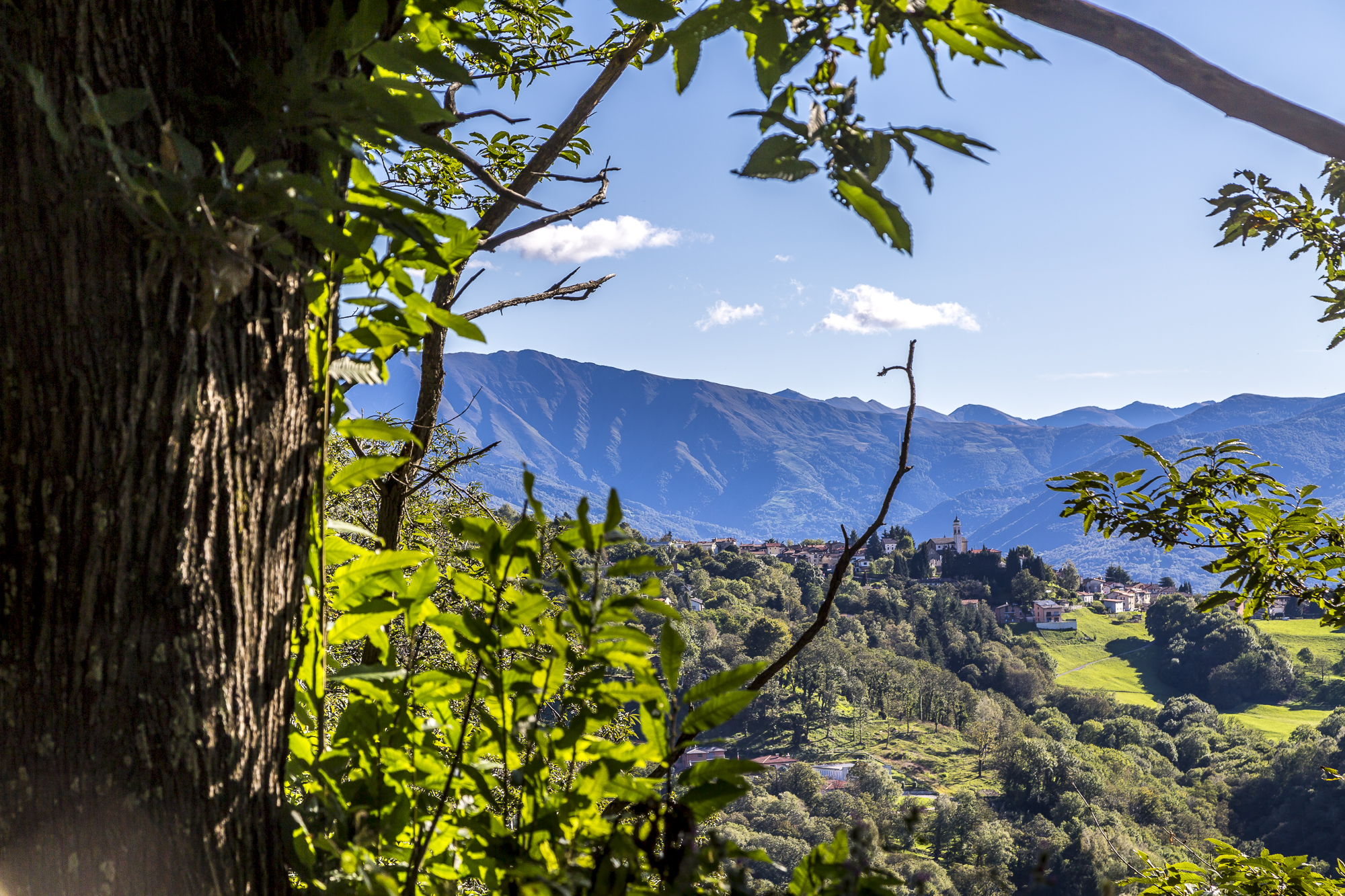
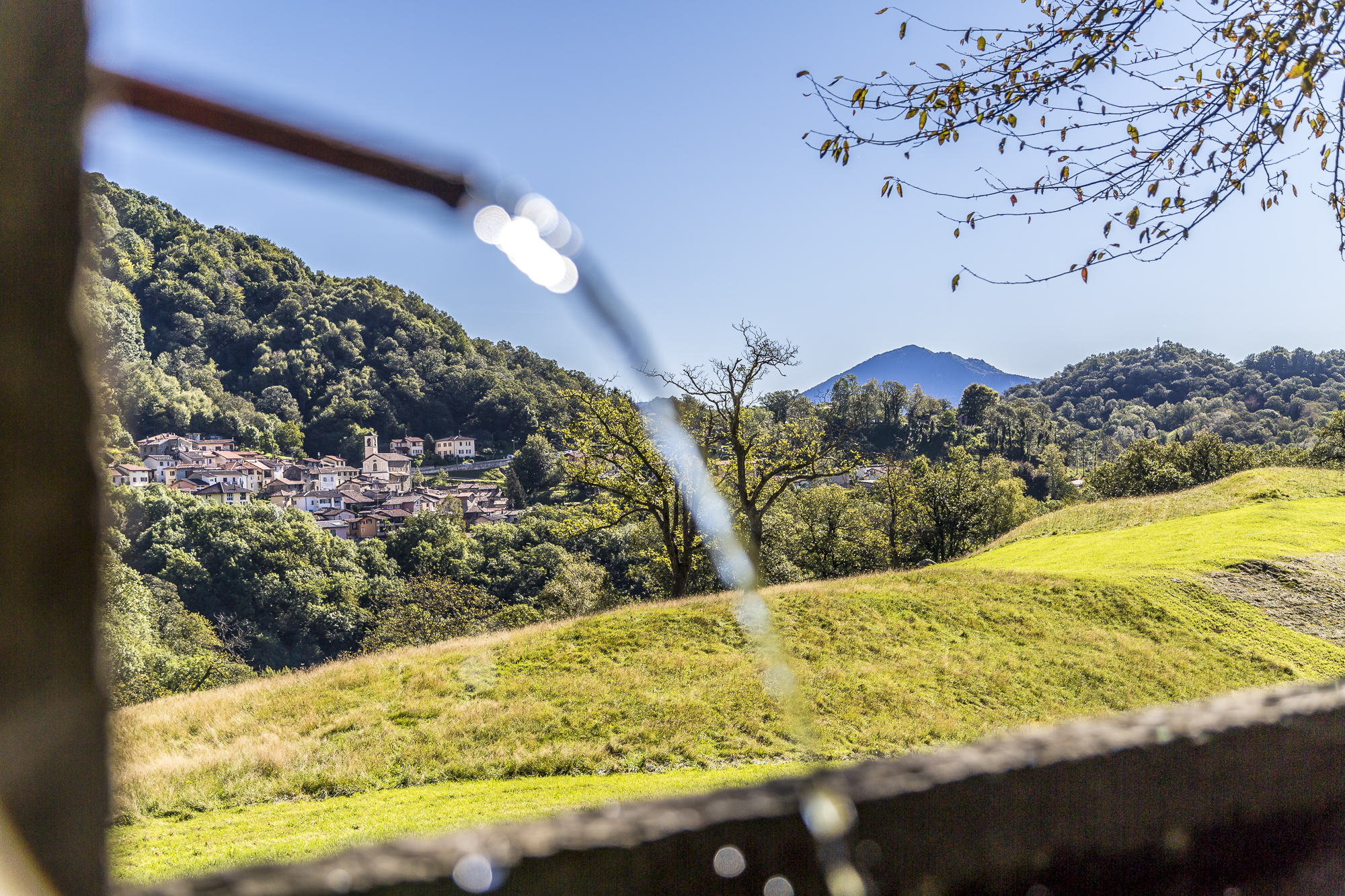
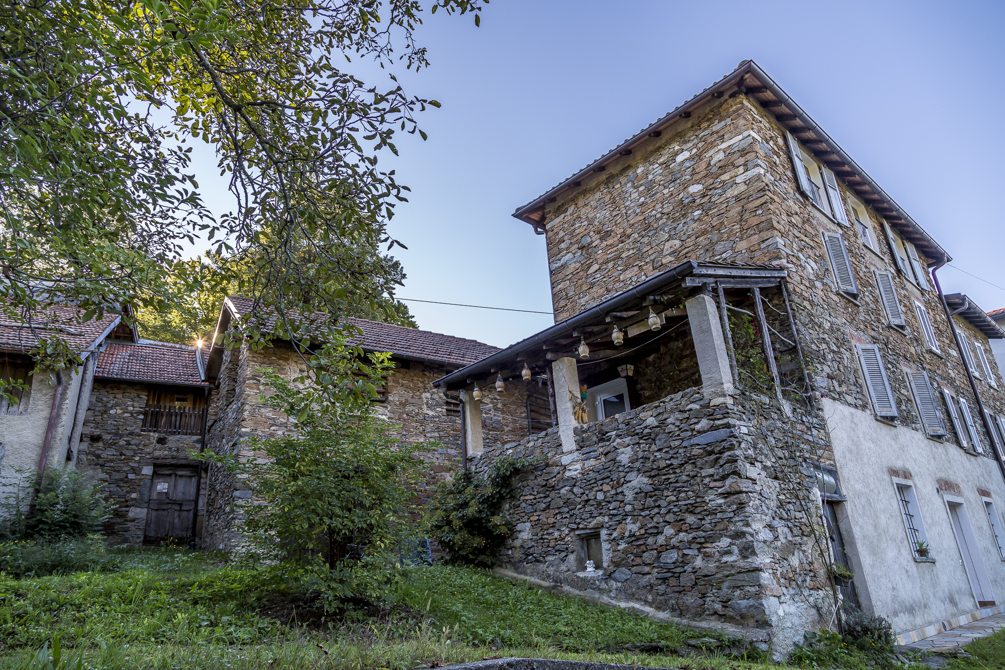
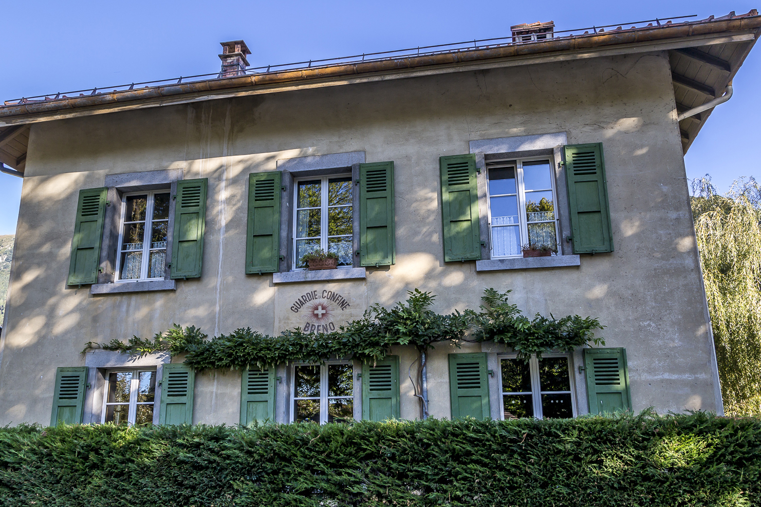
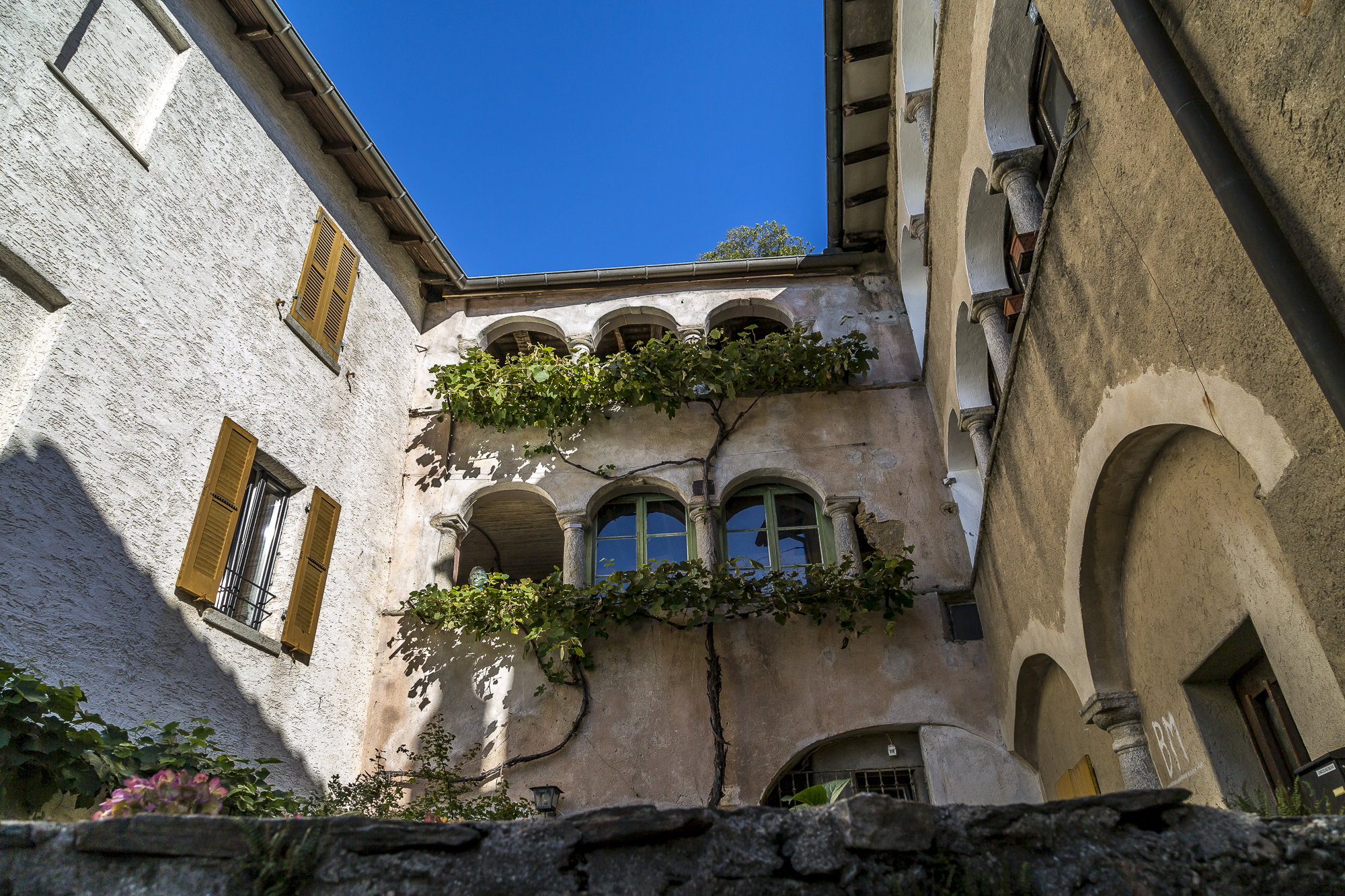
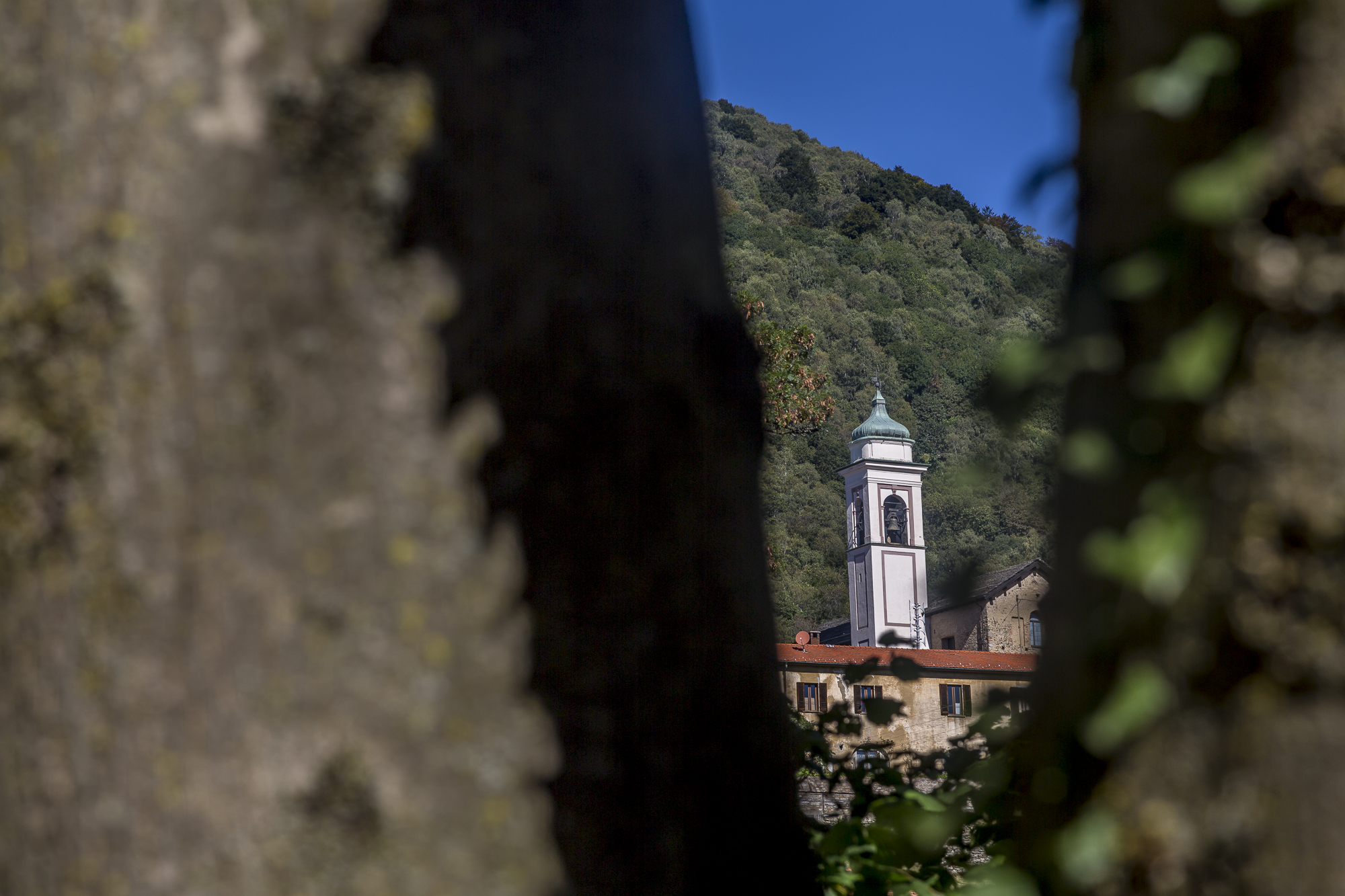
Idyllic Ticino villages
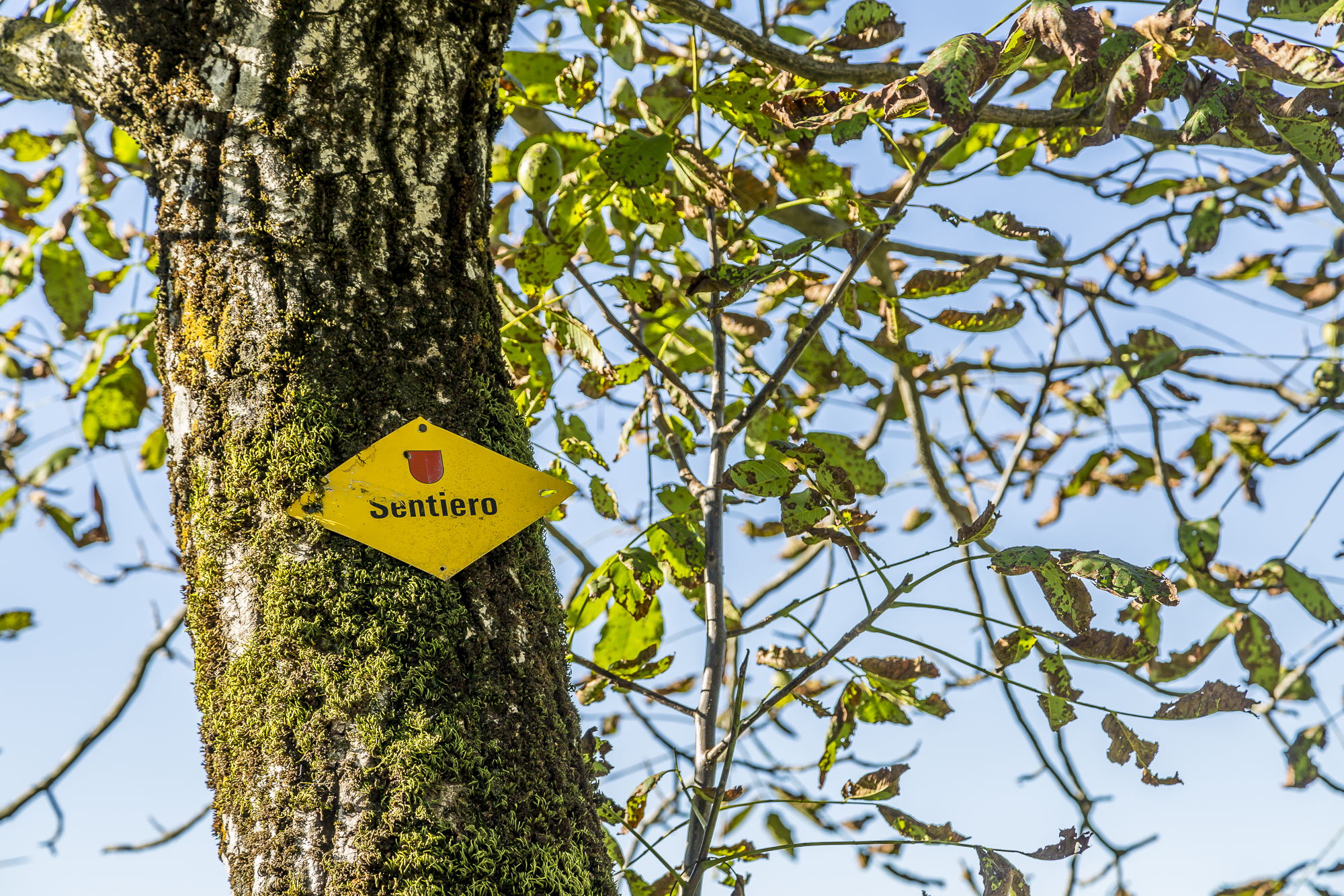
After crossing the pretty town of Mugena, the path leads unspectacularly through residential areas to Arosio. This is where the second mishap happens to us. Actually, we wanted to follow the hiking trail down to the plain and then turn off towards Cademario. However, the signposts in Arosio are a bit confusing and so we mistakenly follow the path to the Grotto Sgambada, which is actually the starting point for the chestnut trail, but is not directly on the path. We briefly lose our bearings and decide not to trust the map any further, but to follow the signposts that will bring us safely back to Cademario.

All in all, a relaxing hike through an interesting cultural landscape. The only problem is the large number of hiking signs and turn-offs, which sometimes confuse rather than support.
Map
The map shows our route. The route is about 12 km long and includes an ascent of 450 meters and a descent of about 340 meters in altitude. The pure runtime is around 3.5 hours. Breno and Cademario can be reached by post bus from Lugano (runs approximately every two hours). We took the post bus no. 427 from Cademario. It is recommended to start the classic Sentiero del Castagno in Arosio.
Leave a Reply