

Albisgrat High Trail: Hike starting on the Uetliberg
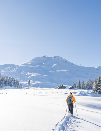
It is rare enough for us to have a “plan-free” Sunday. Today it was that time again and when I looked at the weather forecasts, it was already clear to me in the middle of last week that we would postpone sleeping in until another time. The announced glorious weather seemed perfect to finally tackle another hike around Zurich, which has been on my bucket list for a long time; the Albisgrat High Trail from the Uetliberg to the Albis Pass. A hiking classic that knows how to score with a phenomenal panoramic view.
Start of the hike: Morning magic on the Uetliberg
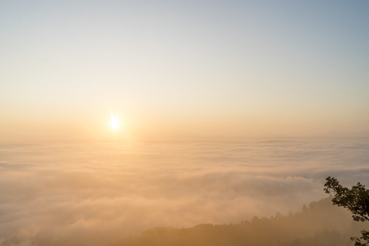
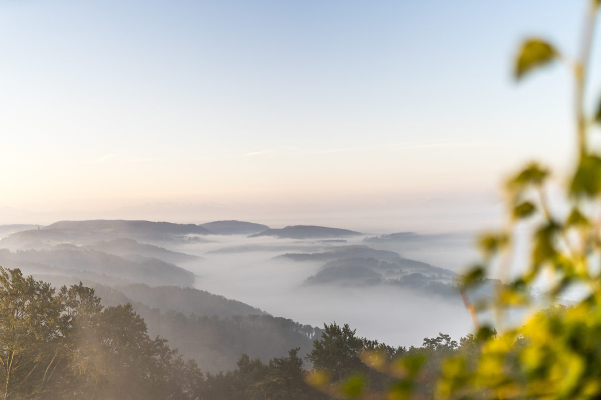
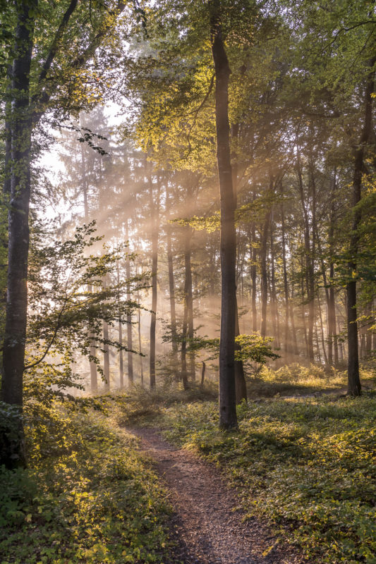
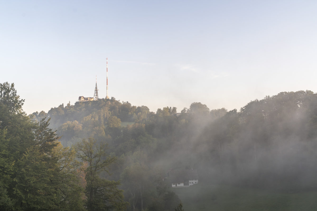
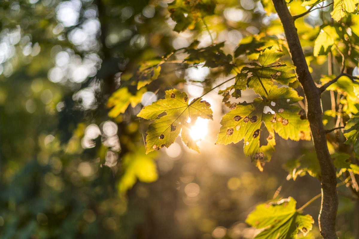
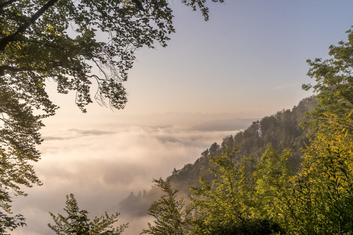
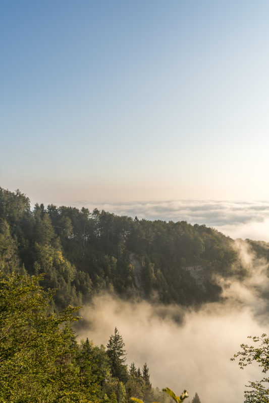
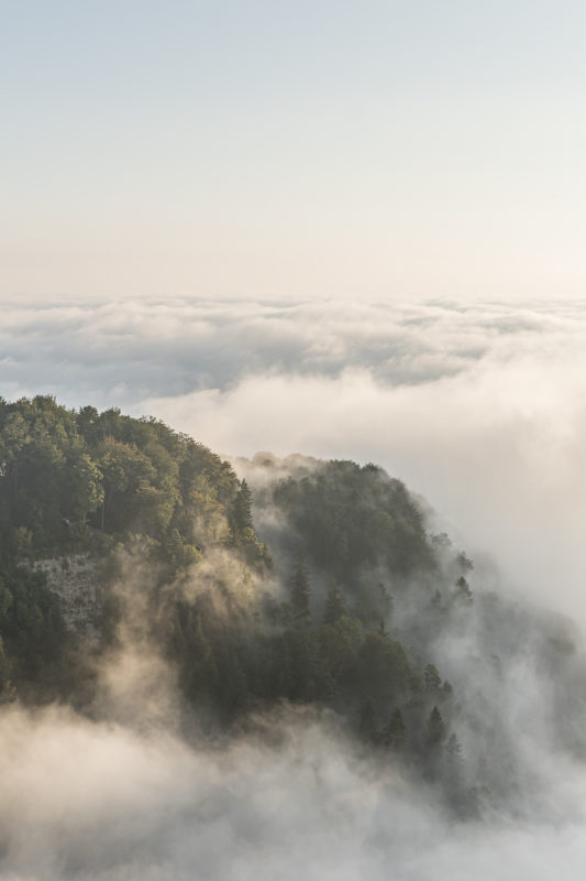
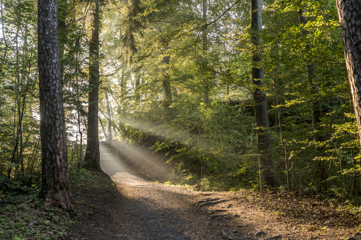
I have already given you the tip here on the blog to experience the sunrise on the Uetliberg. While the sun rises so early in midsummer that no train starts yet, the timing is now perfectly coordinated with the SZU timetable again in mid-September. The first train departs from the main station on Sunday morning at 06:35 and is on the Uetliberg at 06:55. Today the sun rose at 07:04 – exactly the time it takes to get from the train station to the viewing terrace. Since the hike (and not the photography) was in the foreground for me today, I hadn’t dealt with the weather any further. The morning fog was a bit surprising – but in a positive sense! I love the view from the Uetliberg over the mist-covered valleys of the Knonaueramt. What a magical atmosphere!
Hike from the Uetliberg via Felsenegg to the Albis Pass
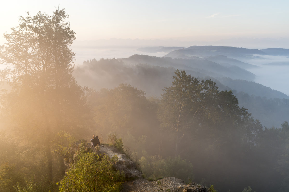
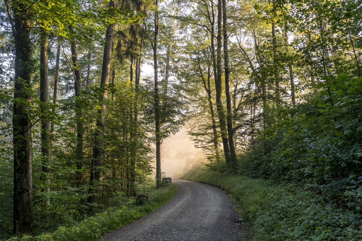
Of course, you can also start the hike from the Uetliberg along the Albisgrat High Trail to the Albis Pass later. But I love the morning atmosphere in the forest and I think it’s great, especially on such short hikes, when I have the landscape all to myself and the “masses” only arrive when I’m at my destination.
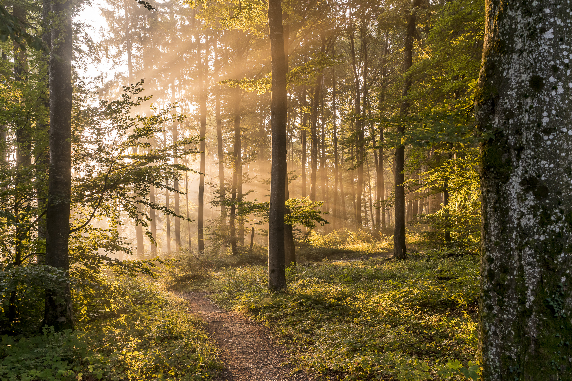
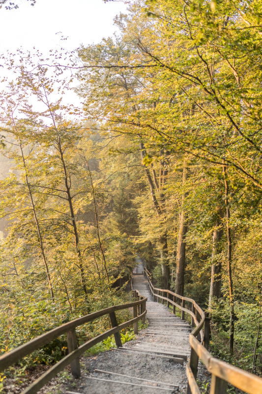
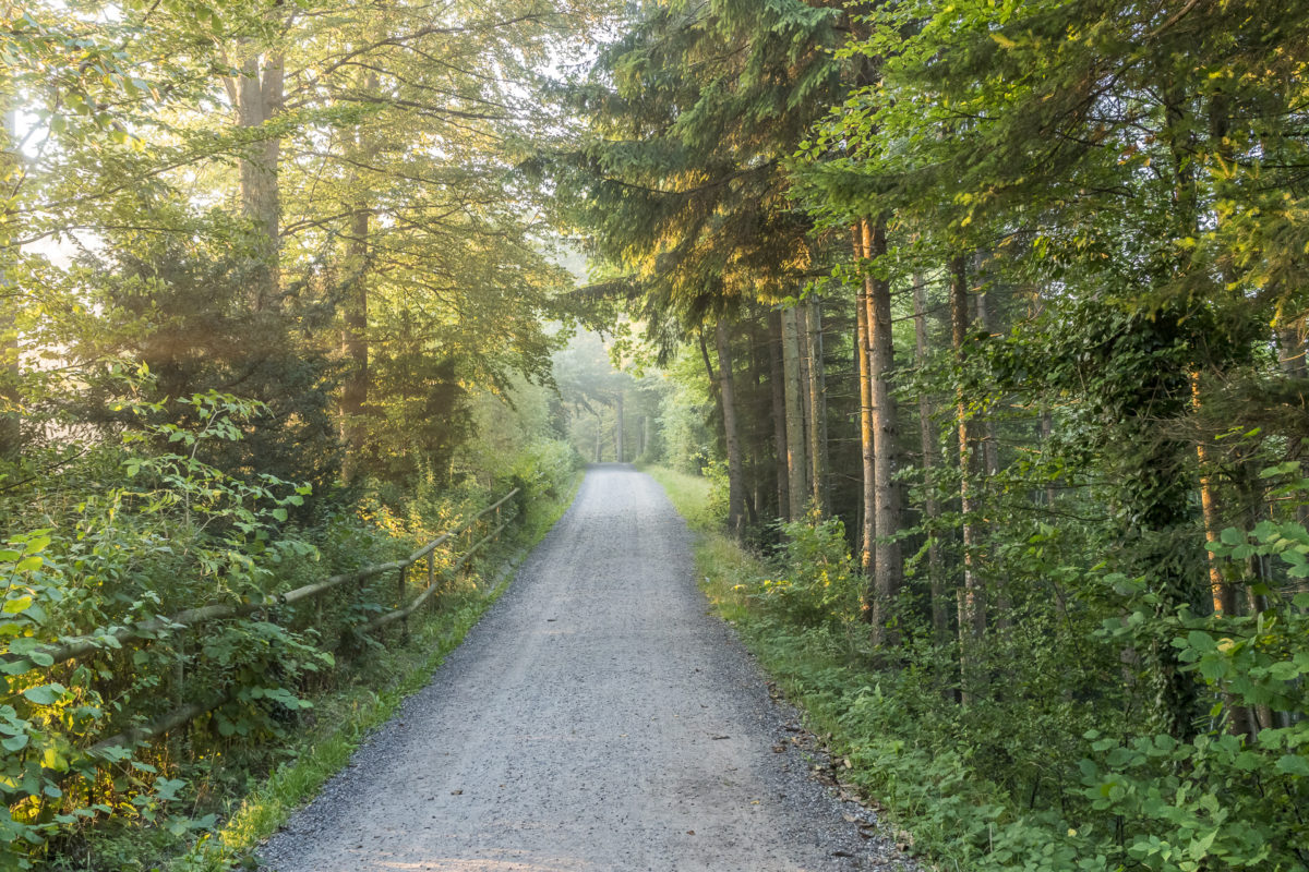
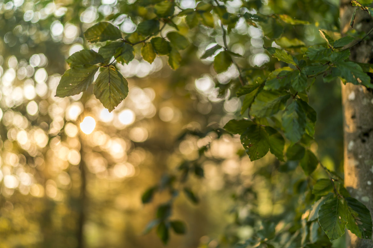
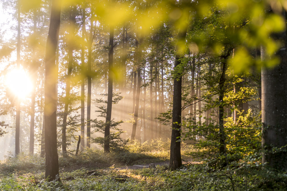
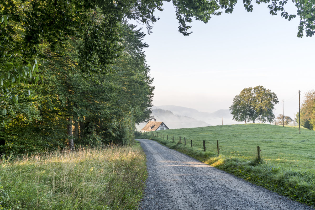
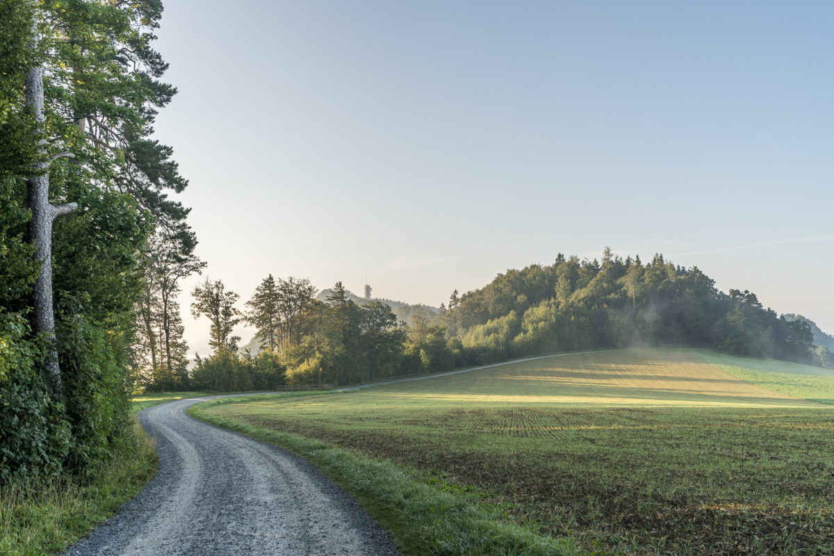
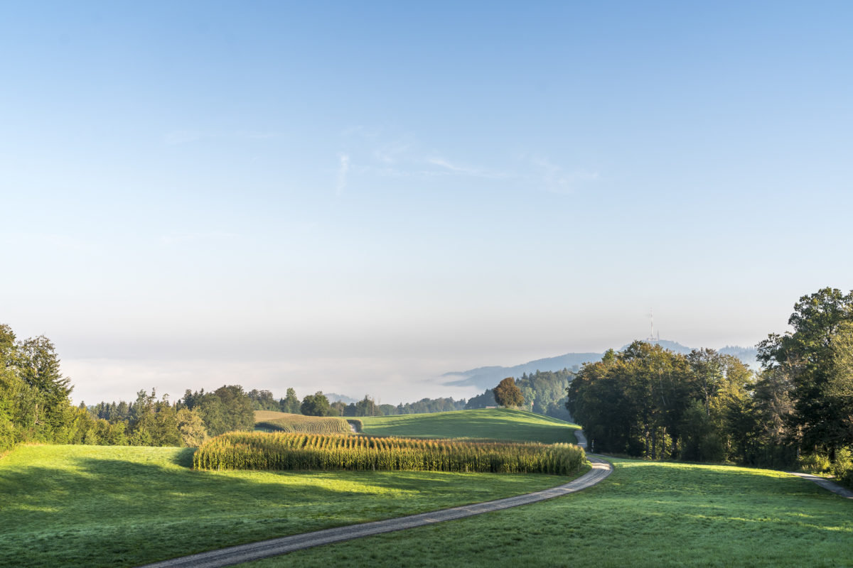
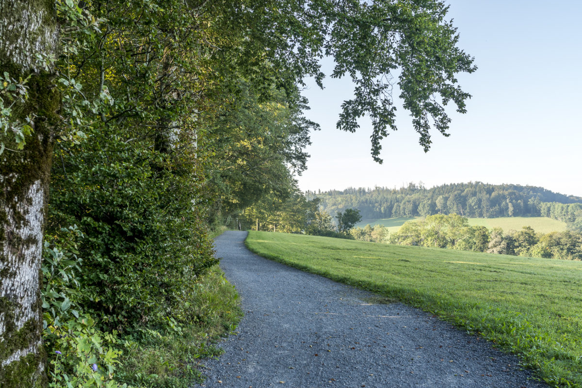
So, after a short stop on the viewing terrace in front of the Uto Kulm, I follow the signposted hiking trail in the direction of Felsenegg. I descend steep stairs to the so-called Planet Path. This is developed as a comfortable forest path up to Felsenegg (can also be walked with prams and wheelchairs). If you like it sporty, you can also jog the route without any problems. The course of the trail is varied – sometimes the path leads through the forest, then again along the edge of the forest. So the view towards Lake Zurich and Zugerland is not neglected. Depending on the weather, you can see from the Black Forest to the Jura to the Glarus Alps.
This morning I concentrated more on the dreamlike play of light of the deep late summer sun. Who knows, maybe this will motivate even the late risers among you to set the alarm clock a little earlier on the next beautiful Sunday. The great thing about it is that when you reach the post bus stop on the Albis Pass after about two hours, the day is still young. Brunch in the city? A visit to a museum? A gelati by the lake? Or a cozy rest of Sunday at home on the couch? Everything is still in there!

Practical tips for the Albisgrat High Trail
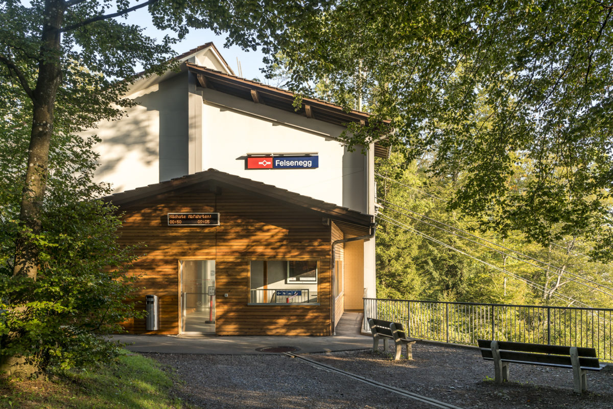
The route of our hike from the Uetliberg to the Albis Pass via the Albisgrat High Trail can be found on the following map. The distance of the hiking route is just over 10 kilometers. With a steady up and down, around 350 meters of altitude uphill and 370 meters of altitude downhill have to be mastered. The walking time is between two and three hours (depending on your basic pace – signposted are three hours). You can reach the starting point of the hike from Zurich main station with the SZU (Sihltal Zürich Uetliberg Bahn). In between, you have a connection to public transport at Felsenegg. The cable car between Felsenegg and Adliswil runs every 15 minutes. At the Albis Pass there is an hourly post bus connection in the direction of Thalwil.
The hiking trail shown below is a combination of SwitzerlandMobility Route No. 47 (first stage of the Zurich-Zugerland Panorama Trail from Triemli to the Albis Pass) and Route 893 (Albistor High Trail), which is a wheelchair-accessible hiking trail that leads from Uetliberg to Buchenegg. Unfortunately, there is no direct connection to public transport at Buchenegg and the rest of the route to the Albis Pass is not wheelchair accessible throughout.
If you still want to continue hiking at the Albis Pass, you can follow route no. 47 to the Albishorn and from there descend through the Zurich Sihlwald Wilderness Park to Sihlwald train station.
Hike Uetliberg – Albis Passhöhe: Key data of our tour
| Starting point | Uetliberg Railway Station |
| Length | 10.7 kilometers |
| Elevation gain | ↗ 356 m 379 m ↘ |
| Duration | 2:45 p.m. |
| Destination | Bus stop Langnau a. A., Albispasshöhe |
This excursion tip doesn’t quite meet your expectations? No problem! In the article linked below you will find further suggestions on what you can do around Zurich: 9 great excursion destinations and short hikes in the vicinity of Zurich
Leave a Reply