

Chli Aubrig Loop Hike: from Euthal via Rosenhöchi to the summit
The Chli Aubrig is a true scenic classic in the canton of Schwyz – and for good reason: This circular hike starting in Euthal combines everything a hiker could wish for. The trail leads across lush alpine meadows, past charming alpine inns, and ends at a rewarding summit with a 360-degree panorama over Lake Sihl, the Mythen mountains, and the Glarus Alps. An ideal day hike for sunny May and June days – or to escape the fog in autumn.
Sunny Start to the Hike in Euthal
There’s more than one way to reach Chli Aubrig – just like Rome. A popular option starts from the Sattelegg parking lot, located about 475 vertical meters below the summit, and takes less than 90 minutes. If, like us, you prefer public transport, you can either start from the Wägital side or, as we did, begin your tour in the peaceful village of Euthal by Lake Sihl.
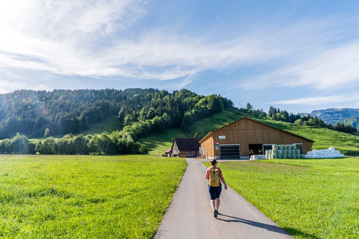
The marked hiking trail starts directly at the Euthal, Drusberg bus stop. However, we first follow Euthalstrasse for a few steps and treat ourselves to a coffee at the Winet Raimund bakery/village store. Then we walk a short distance along Obereuthalstrasse, which reconnects us with the official trail.
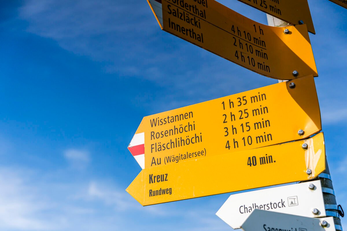
At Weisstannenstrasse, we turn right and follow the sign toward Rosenhöchi. We deliberately chose not to take the «Direttissima», opting instead for a slightly longer and less-traveled – but extremely scenic – route to Chli Aubrig.
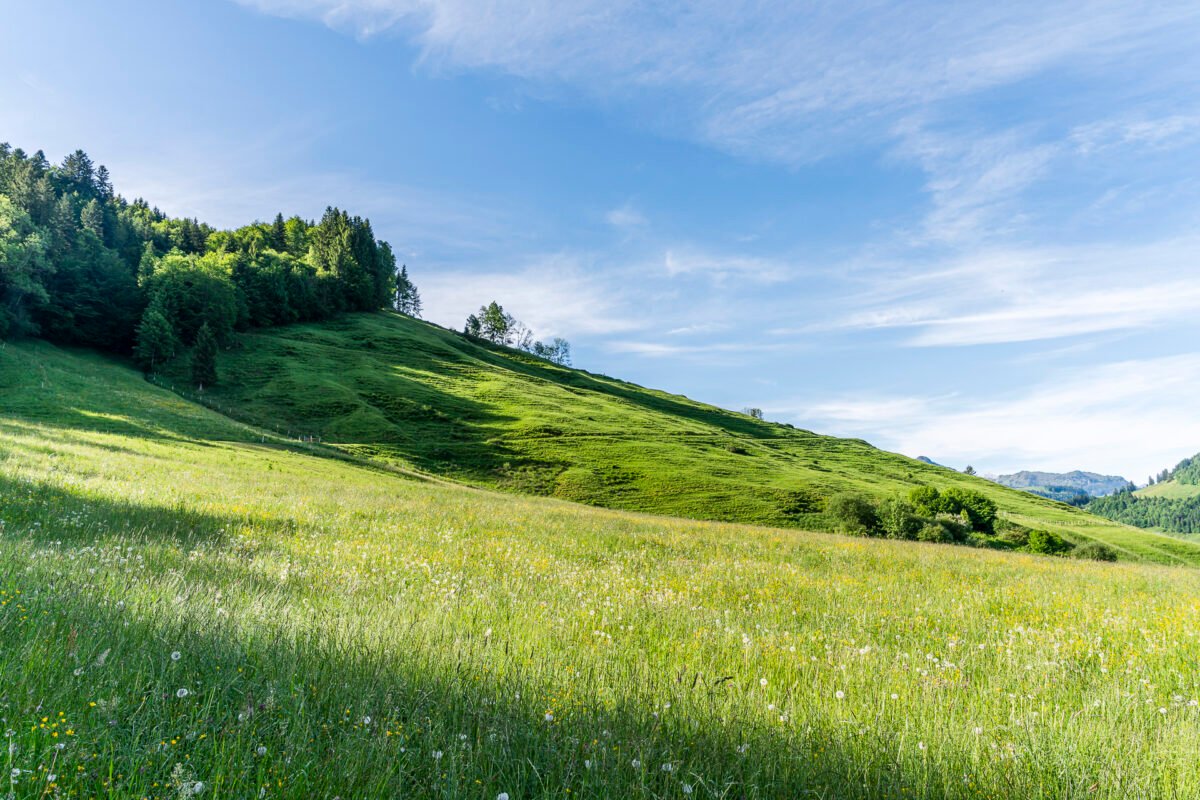
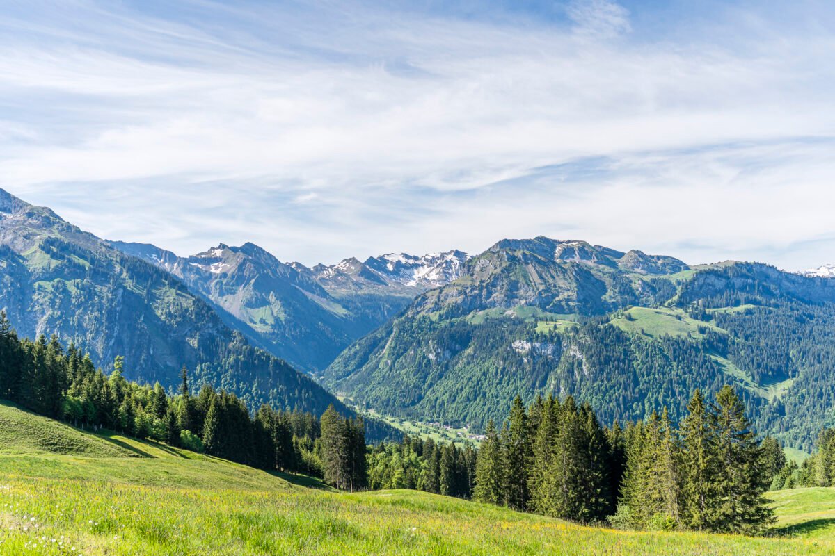
Brisk Ascent Toward Rosenhöchi
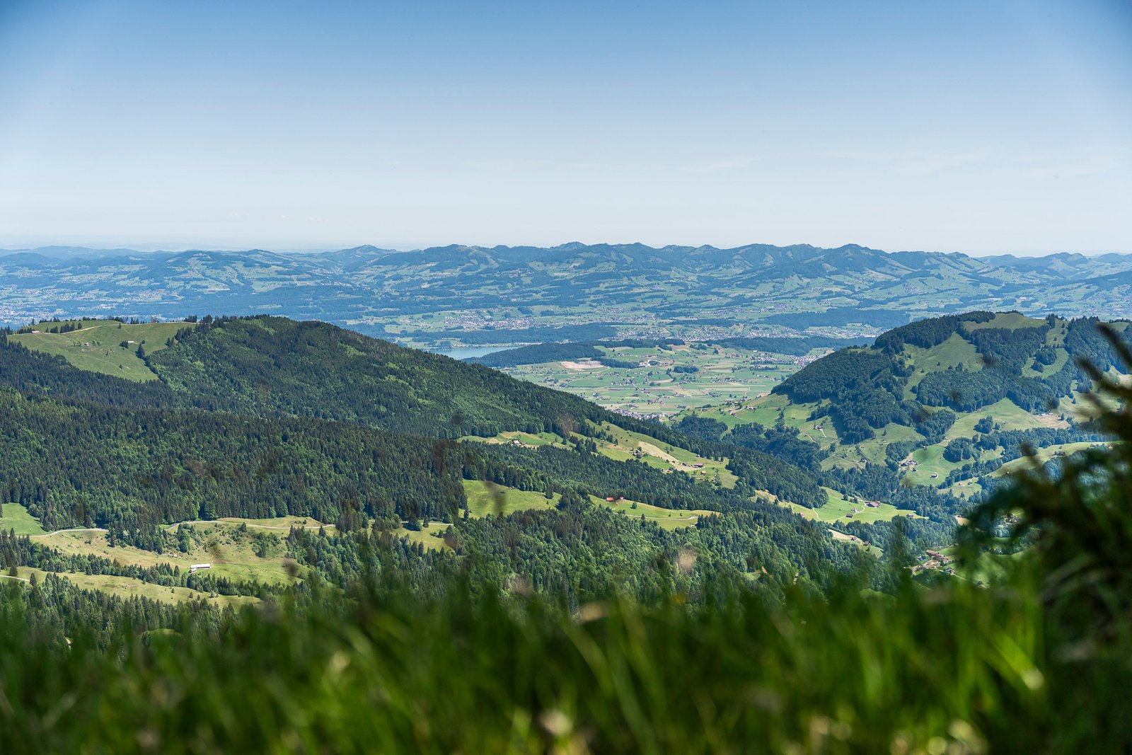
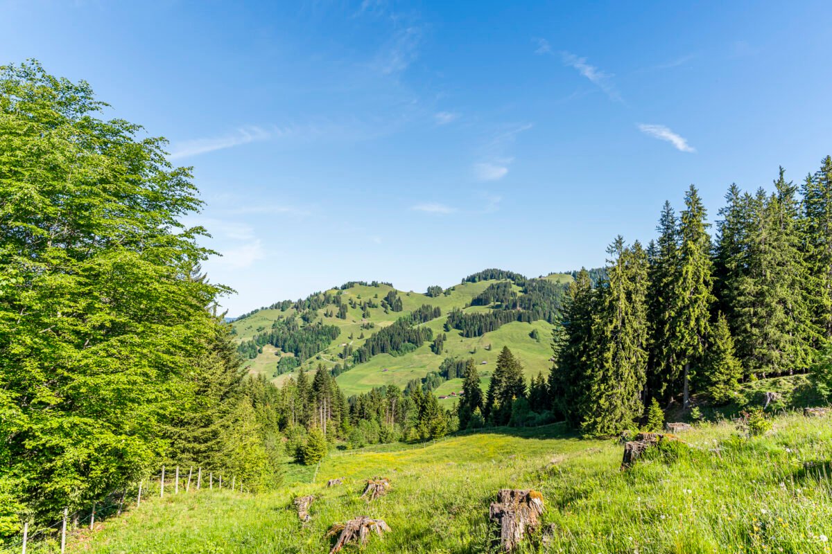
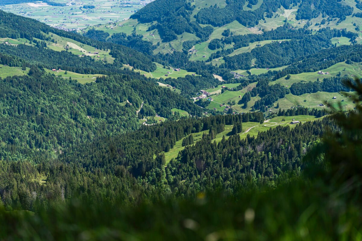
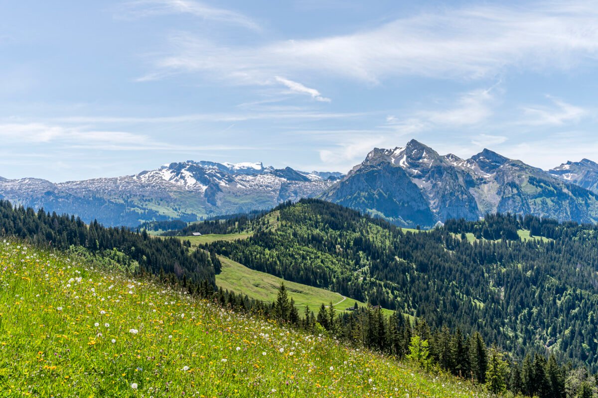
The climb to Rosenhöchi follows the paved road for the first 1.5 kilometers. While not the most scenic terrain, it’s an easy stretch to warm up on. We make good progress, and after the first bend, the view opens up to Lake Sihl and the surrounding Ybrig mountains. The trail steadily climbs up to the Hüenersädel, then levels out briefly as we enjoy the mountain panorama on the way to the Wisstanne alpine inn. We’re still 185 meters below our first waypoint. After about 1.5 hours, we reach Rosenhöchi, a scenic ridge between Lake Sihl and the Wägital Valley.

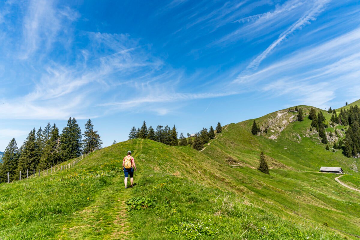
Scenic Summit Ascent to Chli Aubrig
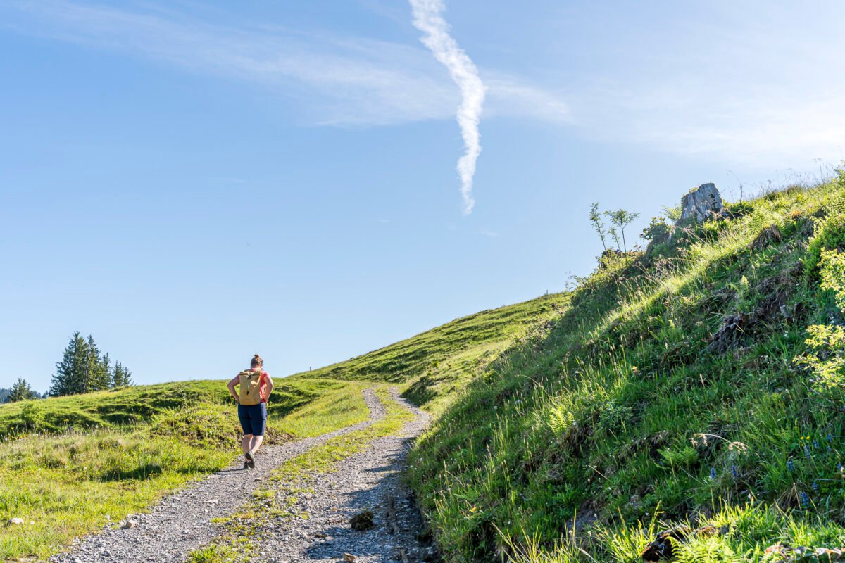
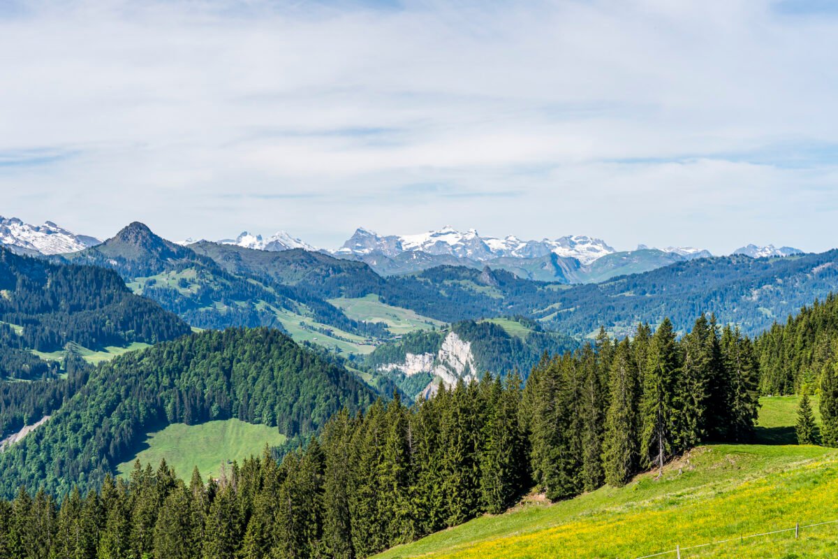
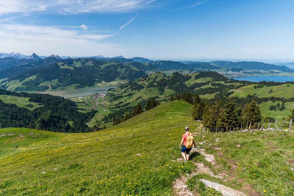
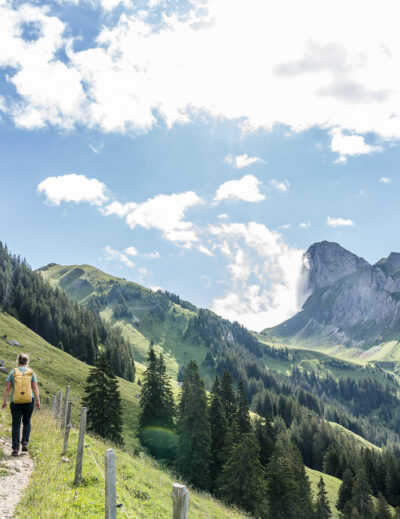
The trail now follows the watershed toward Nüssen. We hadn’t paid enough attention to the elevation profile during our prep – and quickly realize this isn’t a flat ridge. Instead, this stretch brings another 100 meters of elevation with steep ups and downs. After a rainy spring, the marshy ground demands extra care to avoid getting both boots stuck. Fun fact: this is where we see the first other hikers of the day.
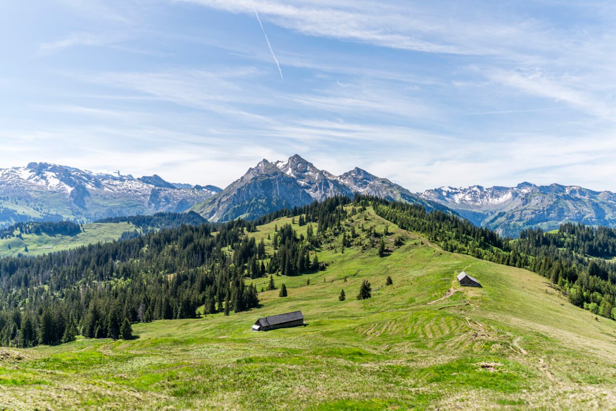
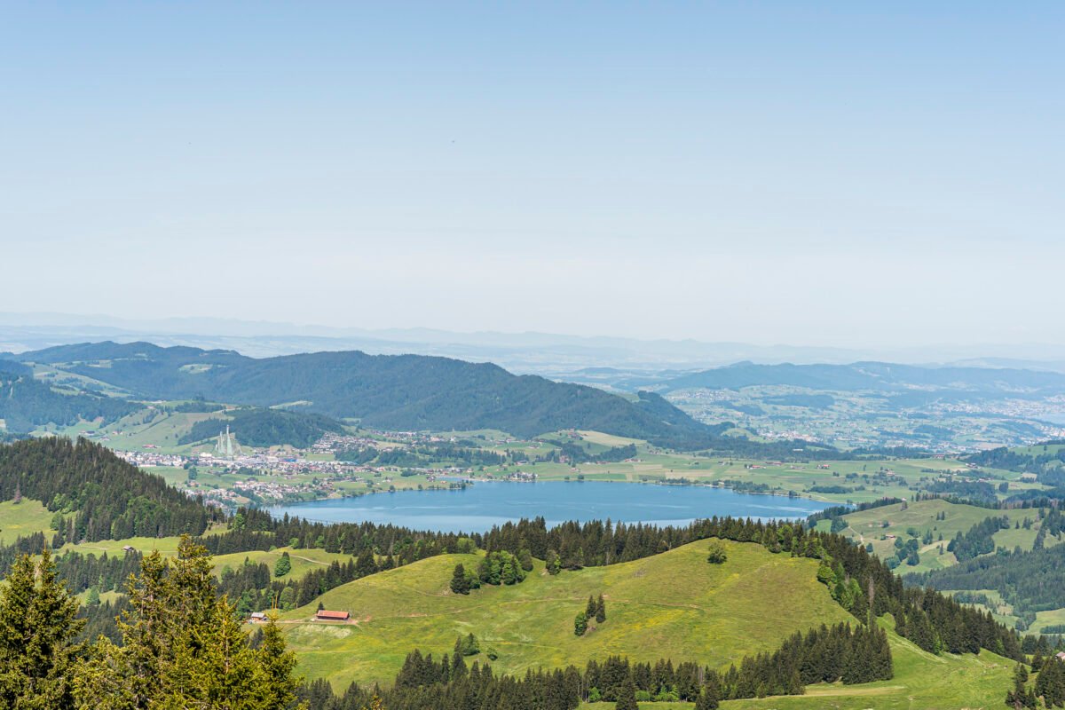
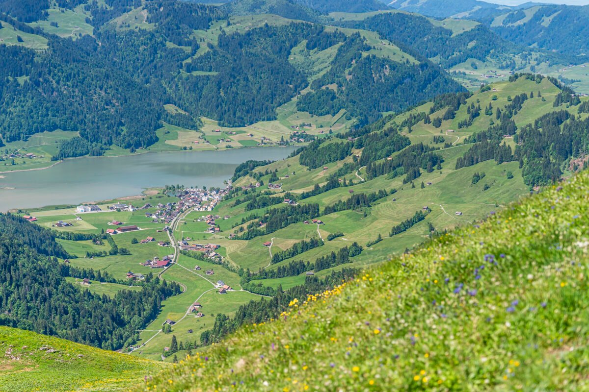
Now the summit of Chli Aubrig feels within reach. The path dips into a hollow before rising up a broad grassy ridge toward the top. At the summit, we’re rewarded with a sweeping 360-degree view: Lake Sihl with Einsiedeln and Euthal, the Wägital valley, the Glarus Alps, and even a sliver of Lake Obersee. Stunning!

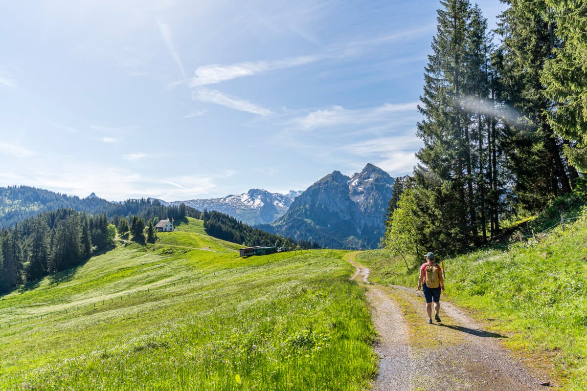
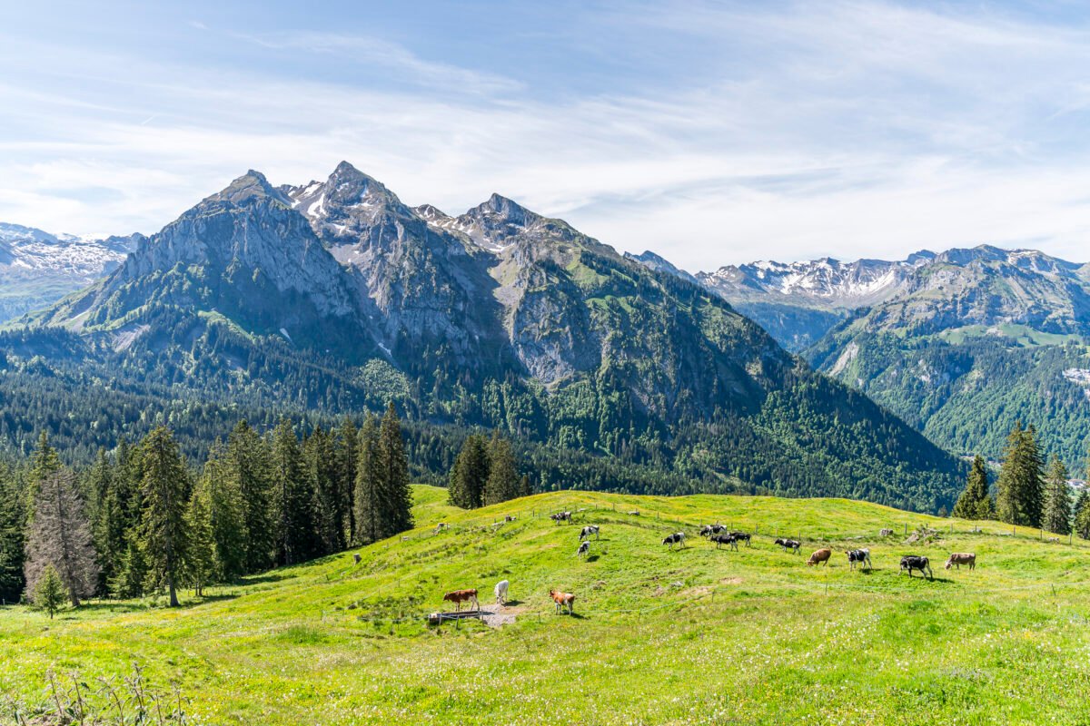
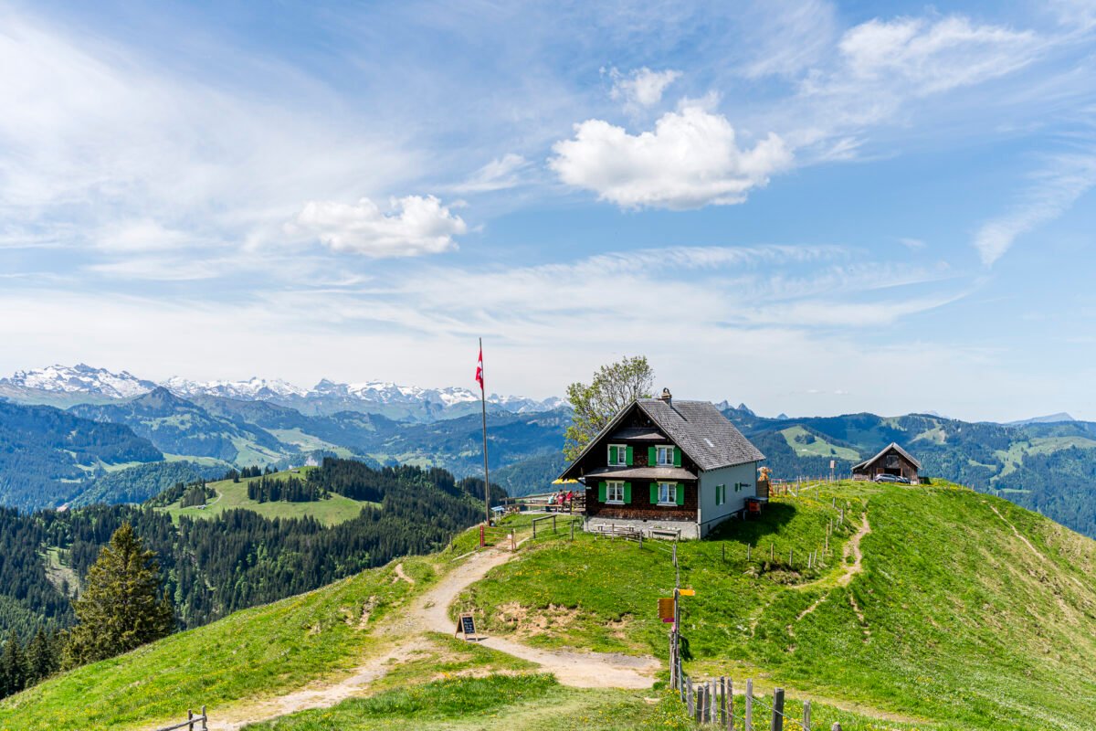
Downhill With a Quick Stop at Alp Wildegg
The gently sloping meadows below the summit are a great spot for a picnic break. But if you know us, you know we’ll always opt for an alpine hut when given the chance – and there’s definitely one here. Just 15 minutes below the summit, Alp Wildegg welcomes hikers with a sunny terrace, refreshing homemade drinks, and tasty cakes. You’ll also find alpine cheese and snack platters on the menu.
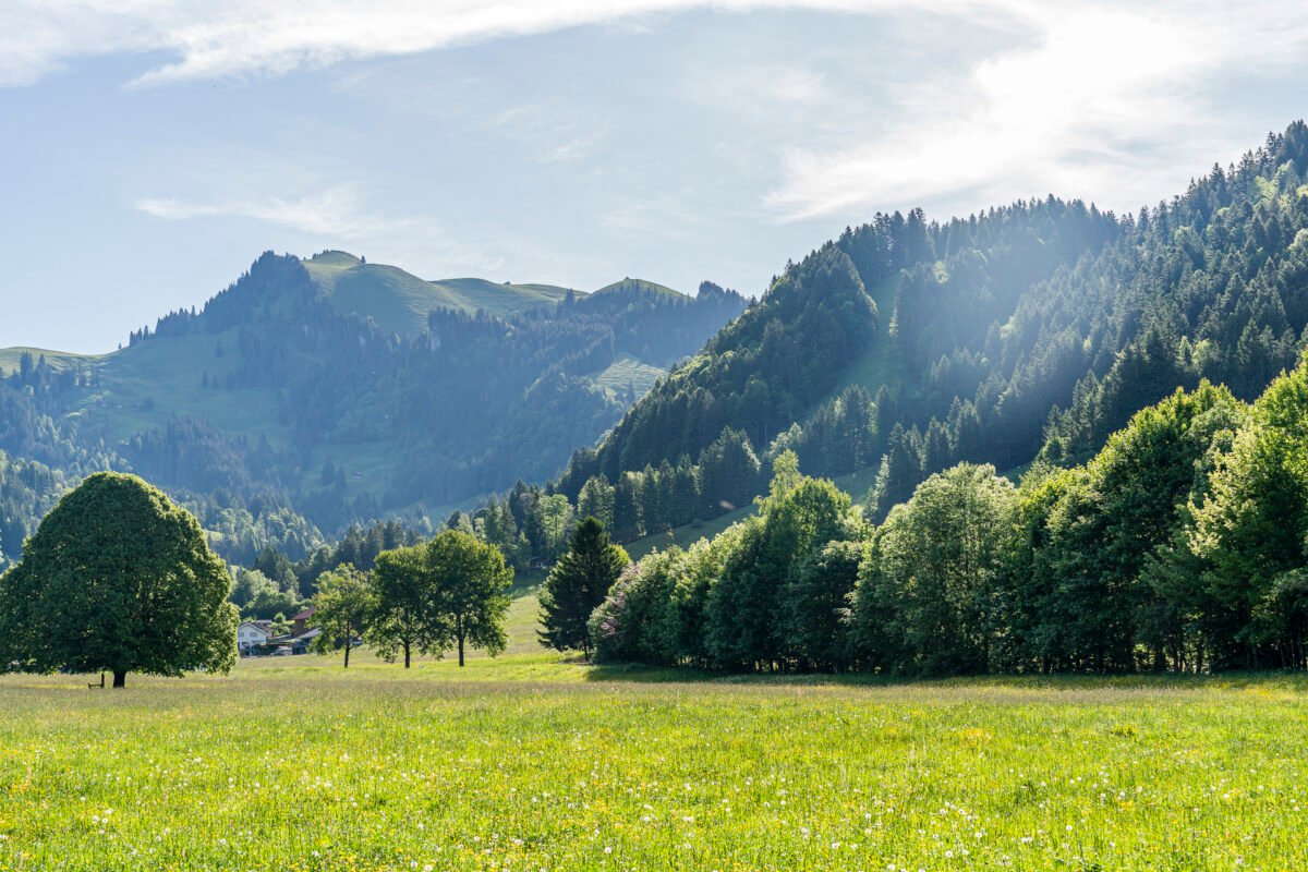
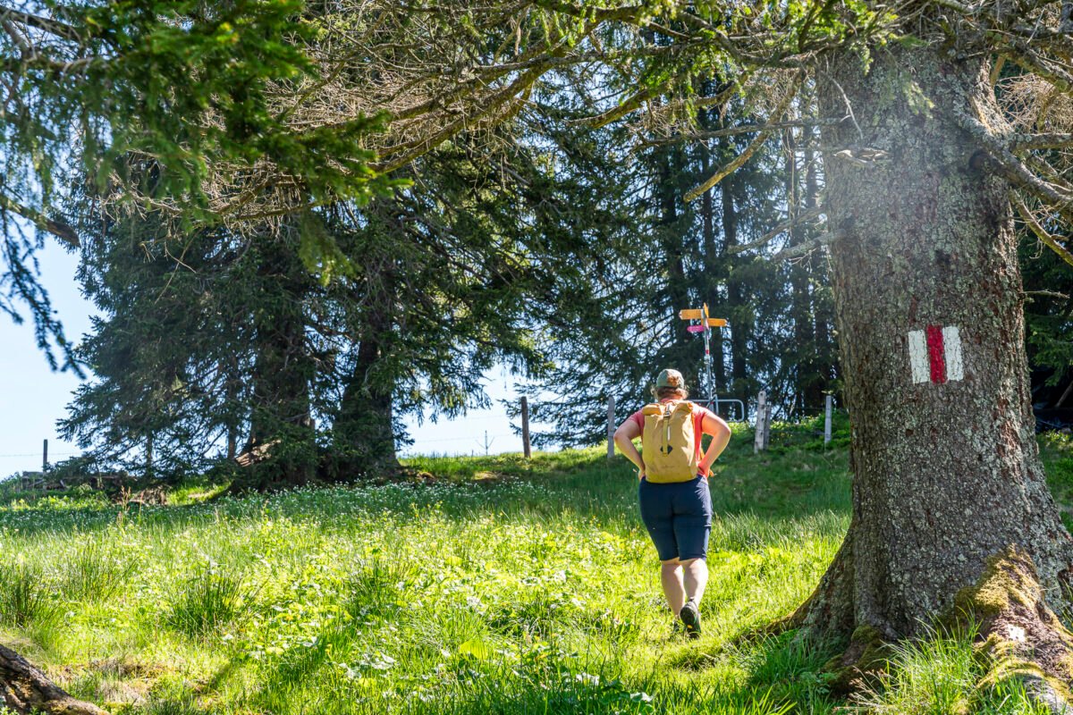
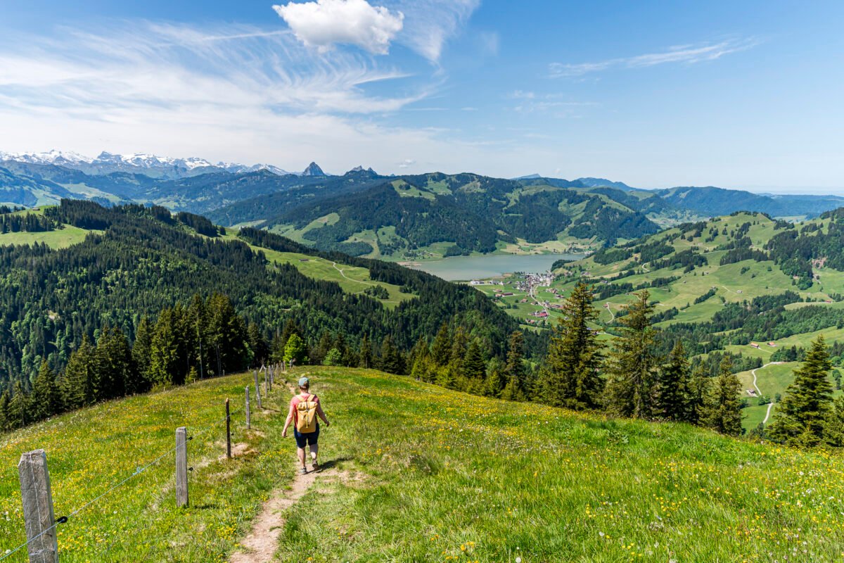
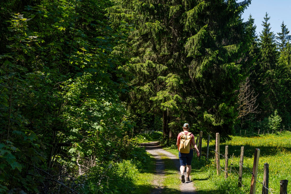
From here, we follow the trail downhill via Vorder Chrummflue. The path is steep in sections but never exposed. For the final two kilometers, the route takes us along a lovely gravel path following the Eubach stream back to our starting point: the Euthal, Drusberg bus stop.

Key Facts: Euthal – Rosenhöchi – Chli Aubrig – Euthal
The map below shows the full loop from Euthal to Chli Aubrig and back. The route from Euthal to Wisstanne is marked as a yellow trail (T1/T2). The riverside path along the Eubach is also a marked hiking path. The remaining sections are classified as mountain hiking trails (red-white-red) and correspond to difficulty levels T2/T3. The trail has no technical challenges. The summit cross at Chli Aubrig is in an exposed position but fenced for safety. Since some parts are fairly steep, I recommend bringing hiking poles if you usually use them.
Trail signs estimate the full loop at 5.25 hours. We kept a steady pace and finished in just under 5 hours including breaks (pure walking time: 4 hours).
| Starting Point | Bus stop Euthal, Drusberg (890 m a.s.l.) |
| Access | Accessible by public transport |
| Distance | 15.2 kilometers |
| Elevation | ↗ 955 m ↘ 955 m |
| Duration | 5:00 h (brisk pace incl. break at Alp Wildegg) |
| End Point | Bus stop Euthal, Drusberg (890 m a.s.l.) |
| Food Options | Alp Wisstanne (closed Thursdays), Alp Wildegg (closed Mondays), Alp Bärlaueli |
Practical Tips for Your Hike to Chli Aubrig
-
- There are half-hourly buses from Euthal, Drusberg toward Einsiedeln. Public transport access is easy and flexible. Travel time from Zurich main station is just over an hour.
-
- On the way to Rosenhöchi, trail markers (and the trail itself) weren’t always immediately visible. This route appears to be less frequently traveled.
-
- The hike is exposed to the sun – on hot days, an early start is recommended.
-
- Alp Wildegg and Alp Wisstanne are usually staffed during summer season (check rest days); payment by cash or Twint (no cards). Alp Bärlaueli is another food stop along the trail between Alp Wildegg and Sagenweid.
-
- The loop can also be done clockwise. Personally, we really liked our chosen route.

Leave a Reply