
Discover the Val Müstair Biosphere with these 3 hikes
Advertisement: Post in collaboration with Biosfera Val Müstair
Wild alpine high valleys, untouched cultural landscapes, and impressive UNESCO World Heritage Sites – all this is united in the Biosfera Val Müstair. It’s no wonder that over the years, we have been drawn repeatedly to this unique nature park in the southeasternmost corner of Switzerland. During our most recent visit, we discovered three hikes that showcase the Münstertal valley from fascinatingly different perspectives.
Following the Valley’s Culture: Aual Claif Circular Hike
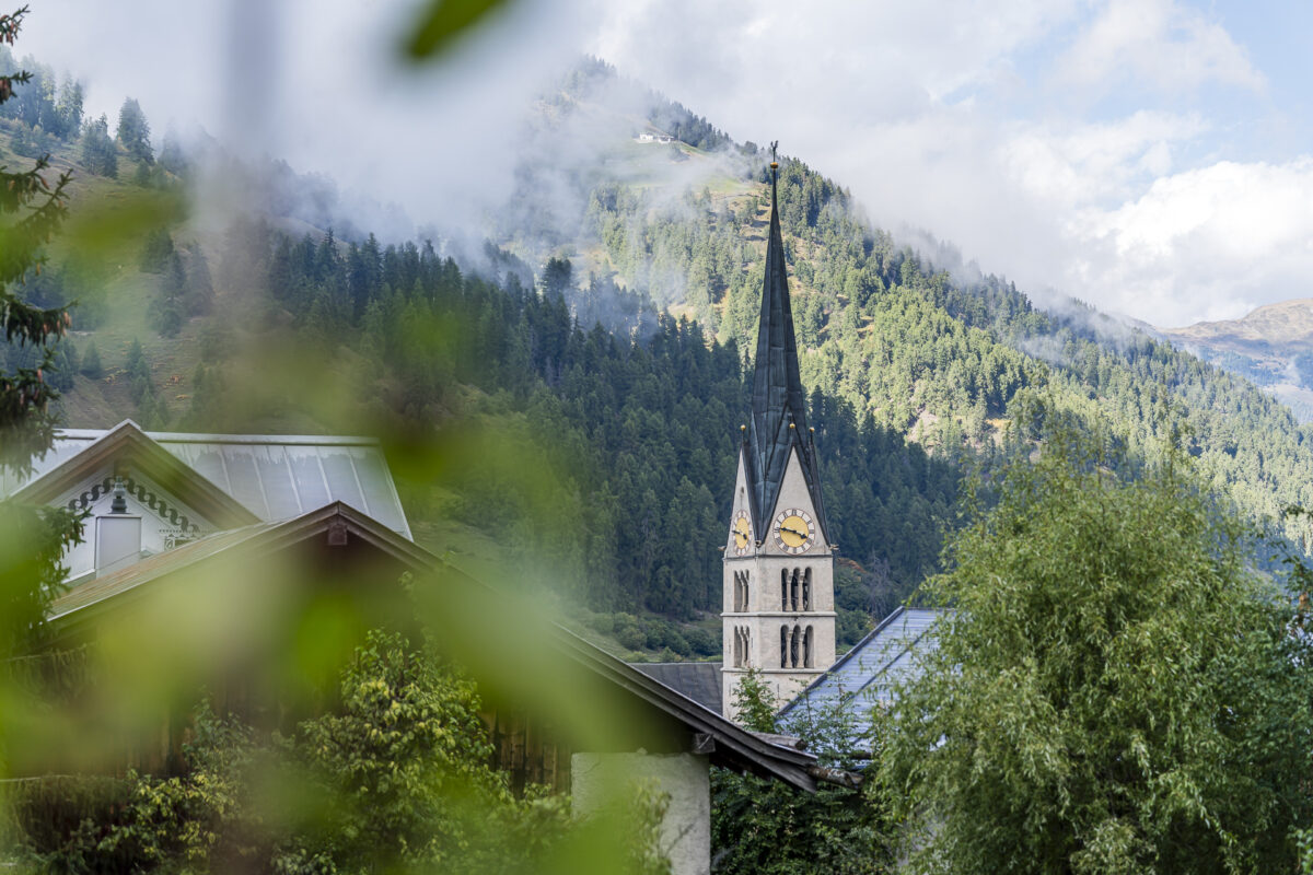
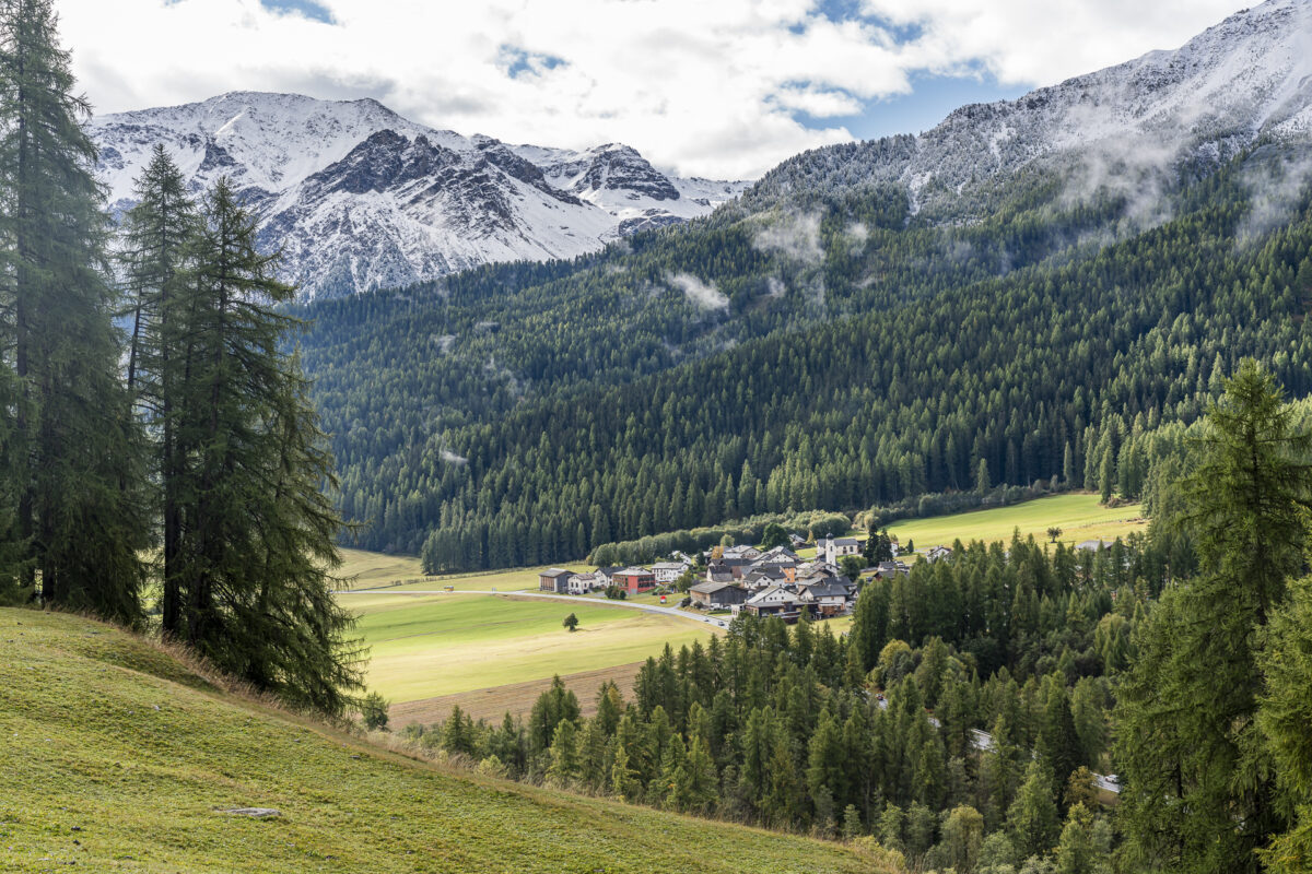
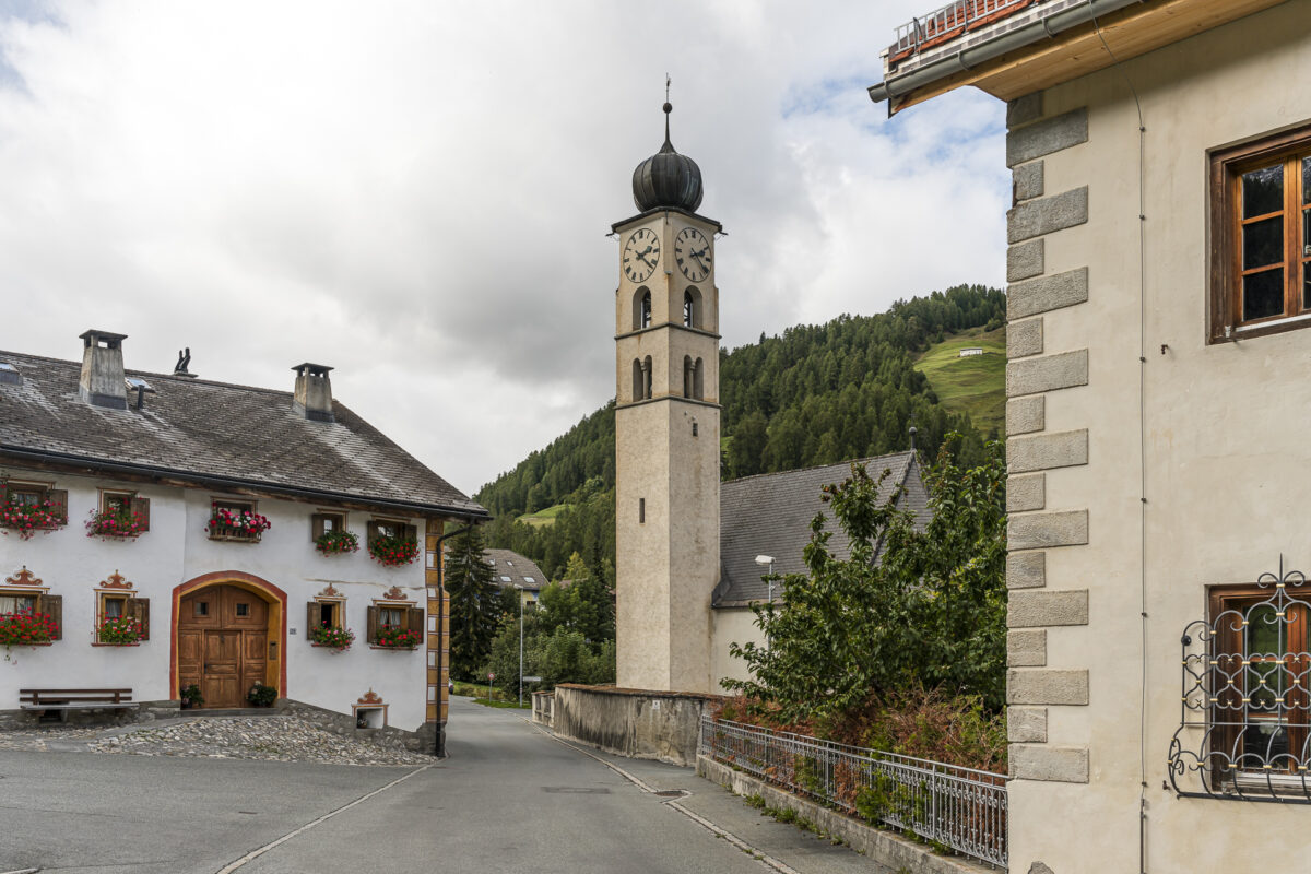
The first tour begins in the center of Sta. Maria. Due to its location at the crossroads of important pass routes, the village was once a significant transport hub between Tyrol, Valtellina, and Engadin. This historical role is still reflected today in the tightly arranged stone houses along the main street. However, with the passing of time, this has also brought challenges: during the summer months, Sta. Maria suffers from heavy traffic, which continues to spark discussions.
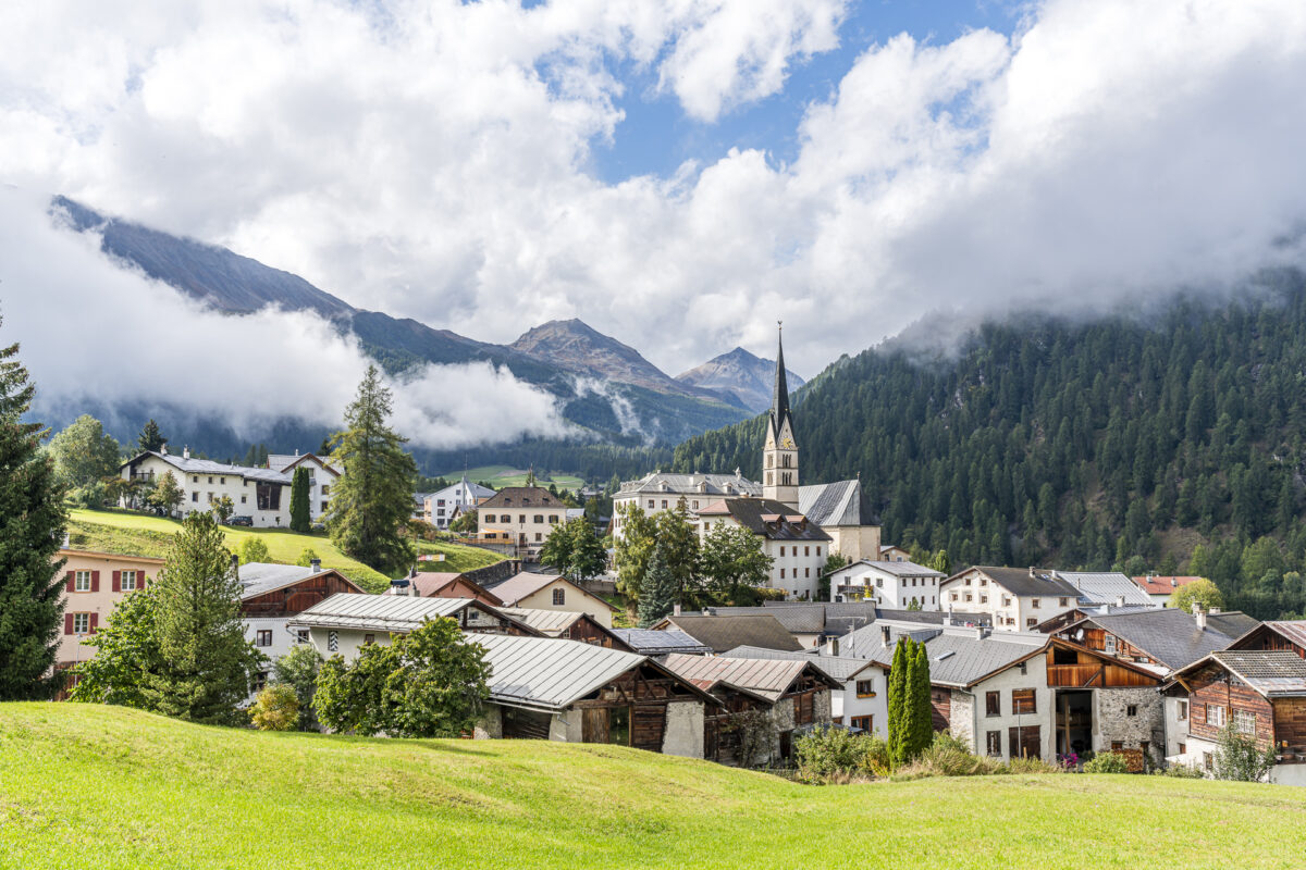
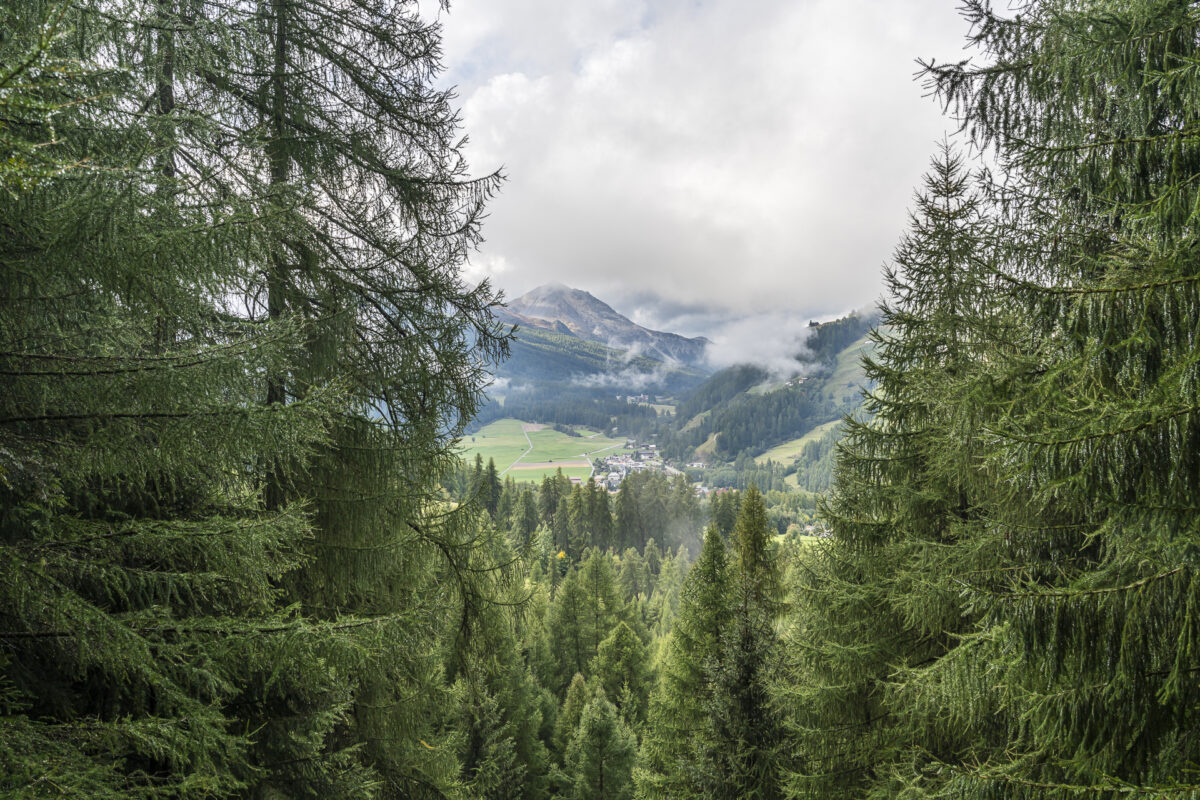
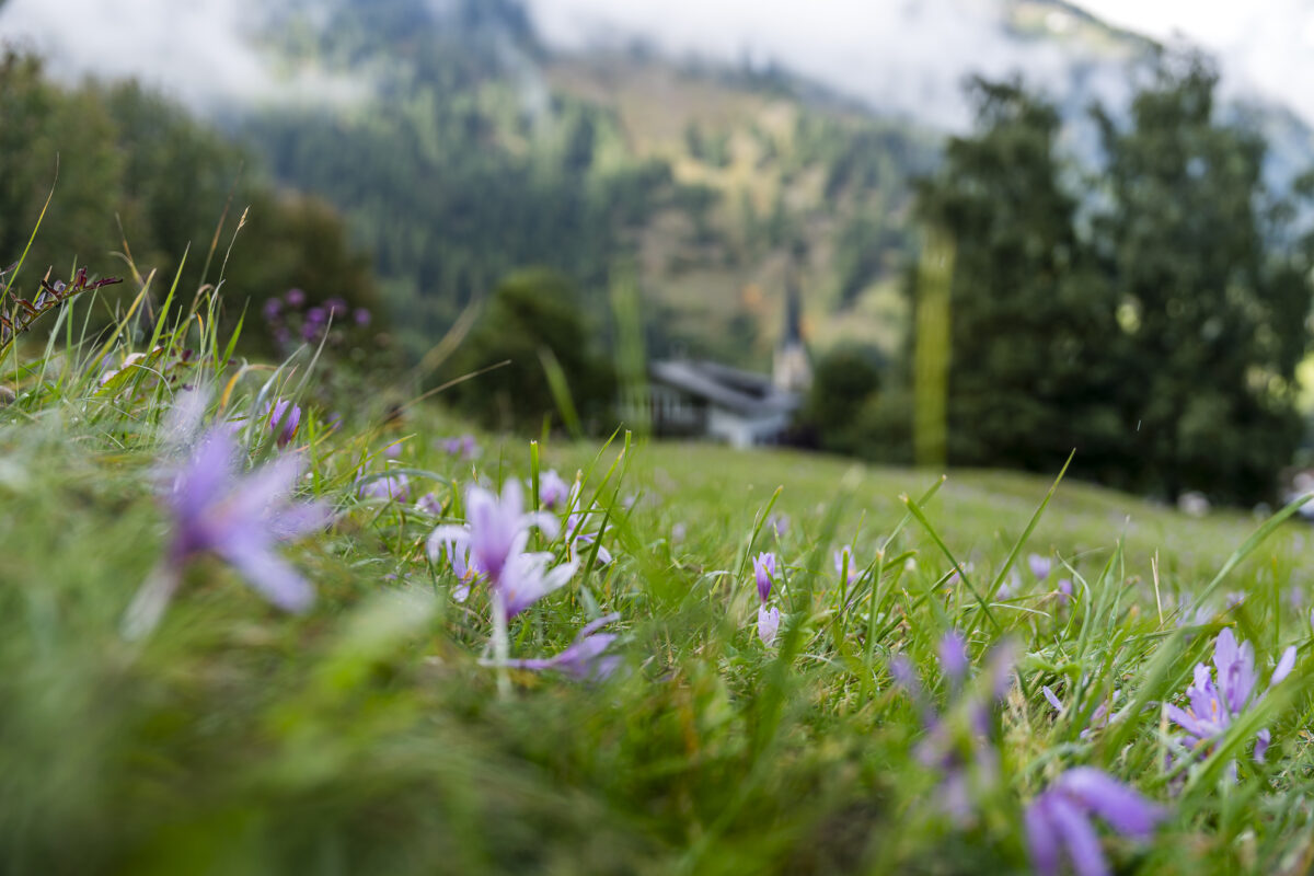
We now turn our backs to the «Via Maistra» and follow the Umbrail Pass Road. After a few meters, a signpost leads us onto a narrow field path towards Müstair. Soon, you’ll pass a scenically placed bench, offering a splendid view of the center of Sta. Maria and the village of Valchava in the background.
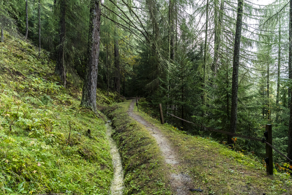
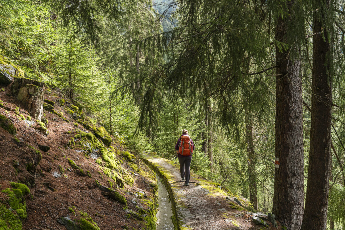
At the first crossroads, take the gravel path up to «Aua Naira». Here, the path splits again, and we follow the hiking trail to the right towards «Döss da las Levras». After about 300 meters, we reach the «Aual Claif». «Auals» are historical irrigation channels used for centuries in the Münstertal valley to water the fields and meadows. This system is comparable to the «Suonen» in Valais or the «Waale» in South Tyrol.
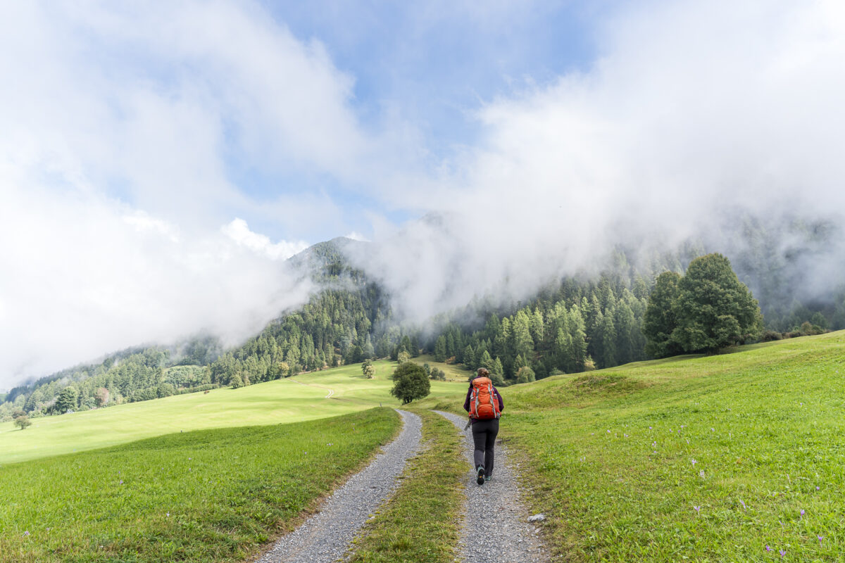
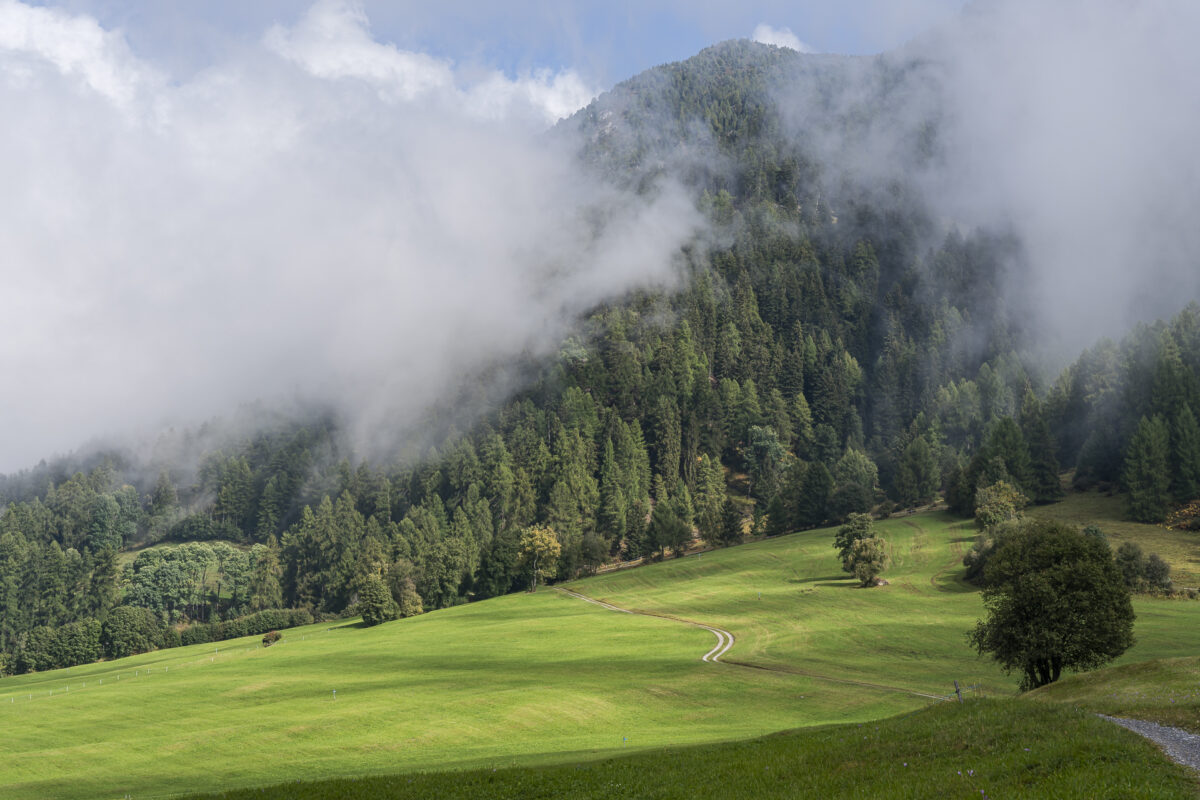
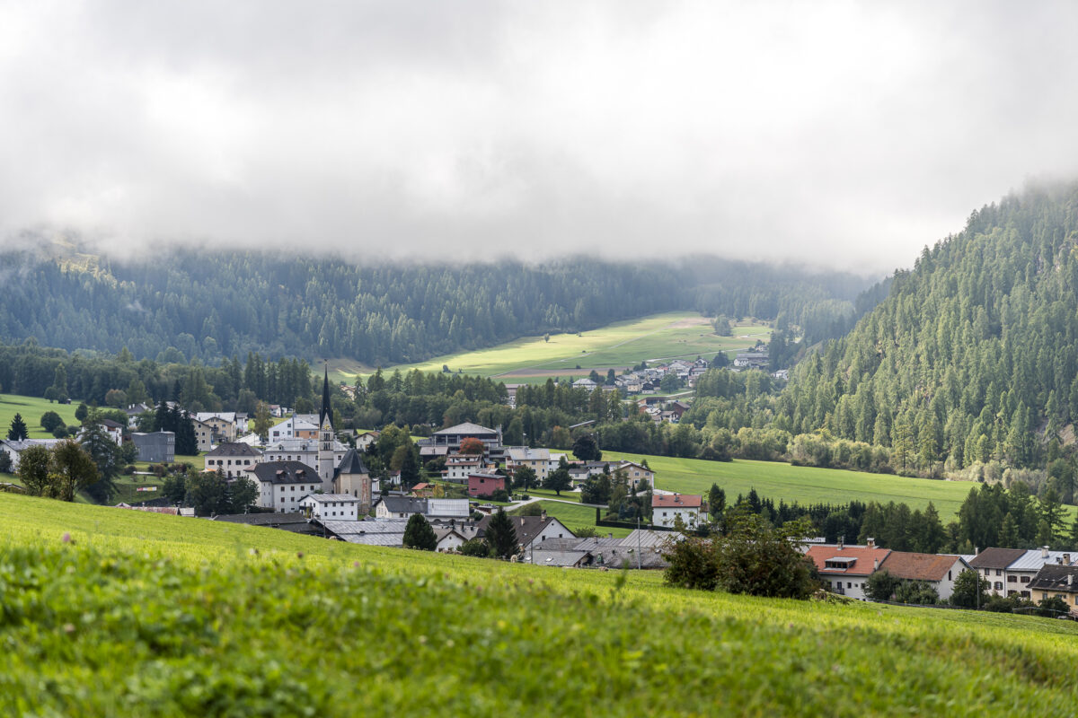
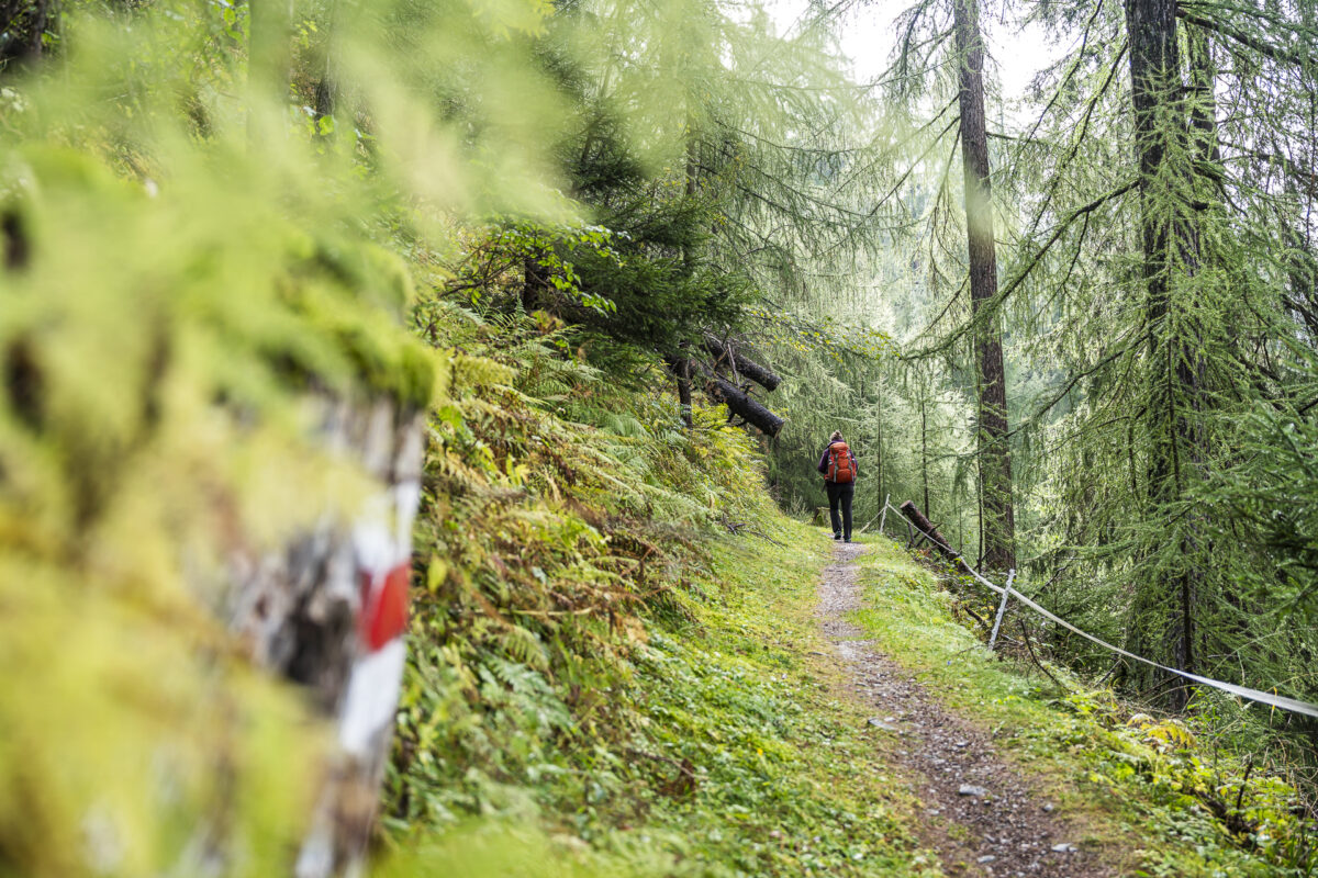
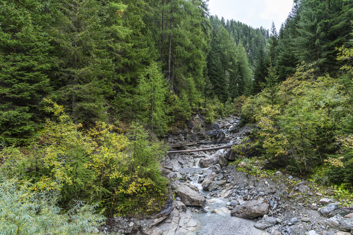
We follow the Aual Claif almost to its source in the Muranzina and then cross the ravine via a wooden bridge. Shortly thereafter, the path leads us back through meadows to our starting point.
Extra Tip: In the center of Sta. Maria, it’s worth visiting the Handweaving Workshop Tessanda. In this traditional workshop, high-quality, functional textiles are still handwoven as in the old days. Check the current shop opening hours on their website.
Key Facts About the Easy Circular Hike from Sta. Maria
Using the following hiking map, you can trace the route of the Aual Claif Circular Hike.
This is a white-red-white marked mountain trail (max. T2). The trail leads over field and forest paths and does not present any technically demanding sections. With a length of around five kilometers and a moderate ascent of about 200 meters (one section is a bit steeper), it is not particularly challenging physically.
| Starting Point | Bus stop Sta. Maria Val Müstair, cumün (1,375 m a.s.l.) |
| Accessibility | Accessible by public transport |
| Length | 5 kilometers |
| Elevation Gain | ↗ 210 m ↘ 210 m |
| Duration | 1:30 h |
| Endpoint | Bus stop Sta. Maria Val Müstair, cumün (1,375 m a.s.l.) |
| Refreshments | Meier-beck in Sta. Maria |
Scenic Views: Hiking on the Senda Val Müstair
The starting point of the second hike is reached with a roughly 15-minute PostBus ride from the Münstertal valley to the Ofen Pass. Here, hikers are spoiled for choice with summit tours, routes through the Swiss National Park, and scenic high trails.
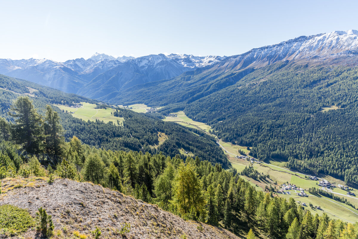
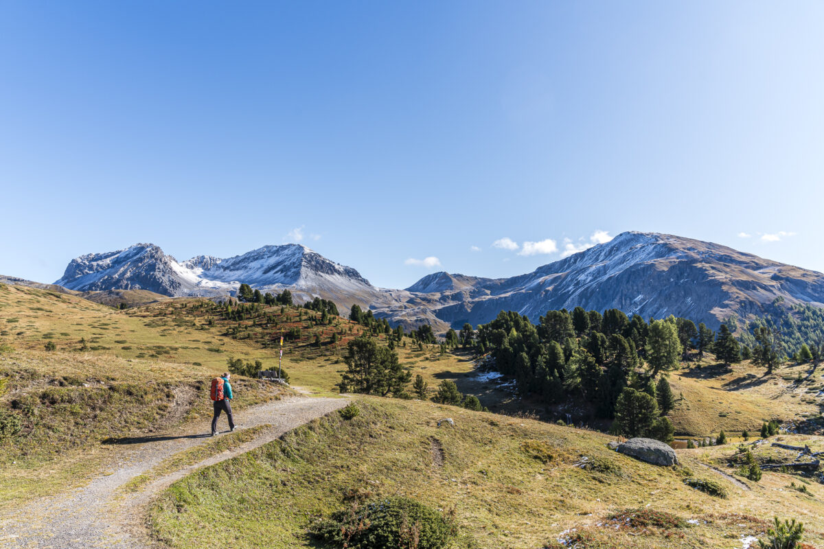
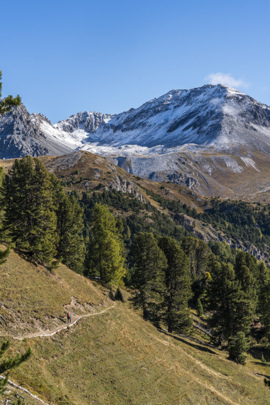
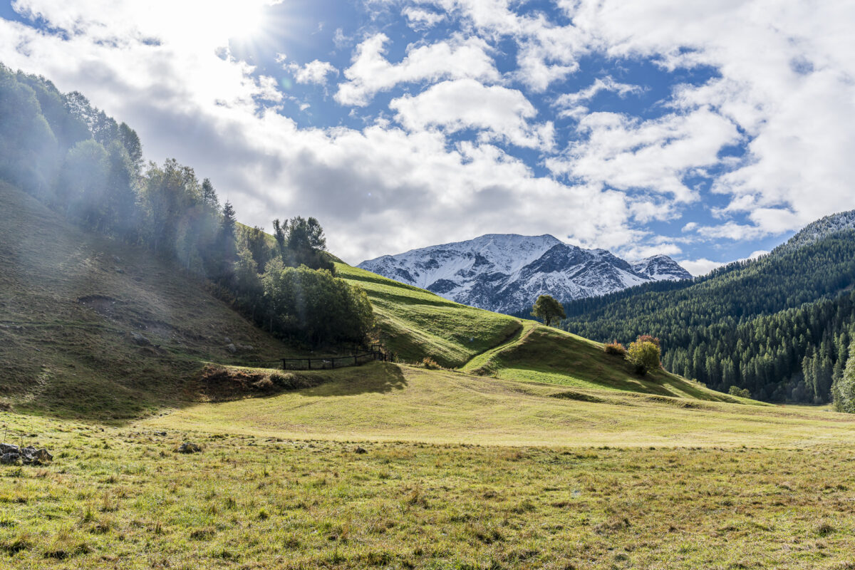
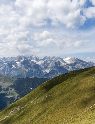
Since the higher altitudes already had some early snow, we opted for the «Senda Val Müstair». This panoramic trail runs on the sunny side of the valley through a varied alpine landscape and offers fantastic views of the Münstertal valley and the prominent peaks of Piz Daint and Piz Dora. We admired the contrast between the steel-blue sky and the first golden tips of the larches. As autumn progresses, the colors are sure to become even more intense.
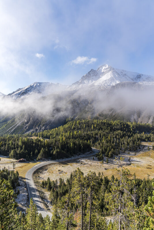
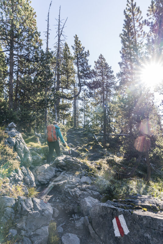
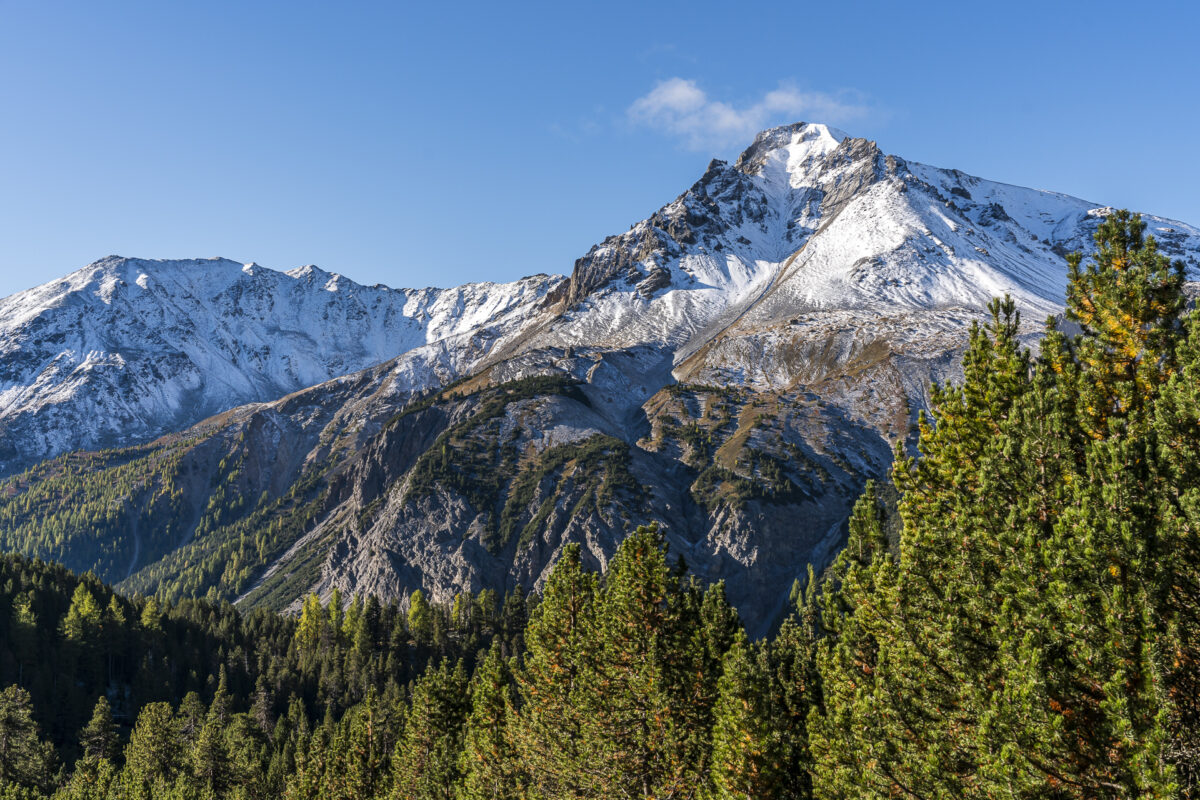
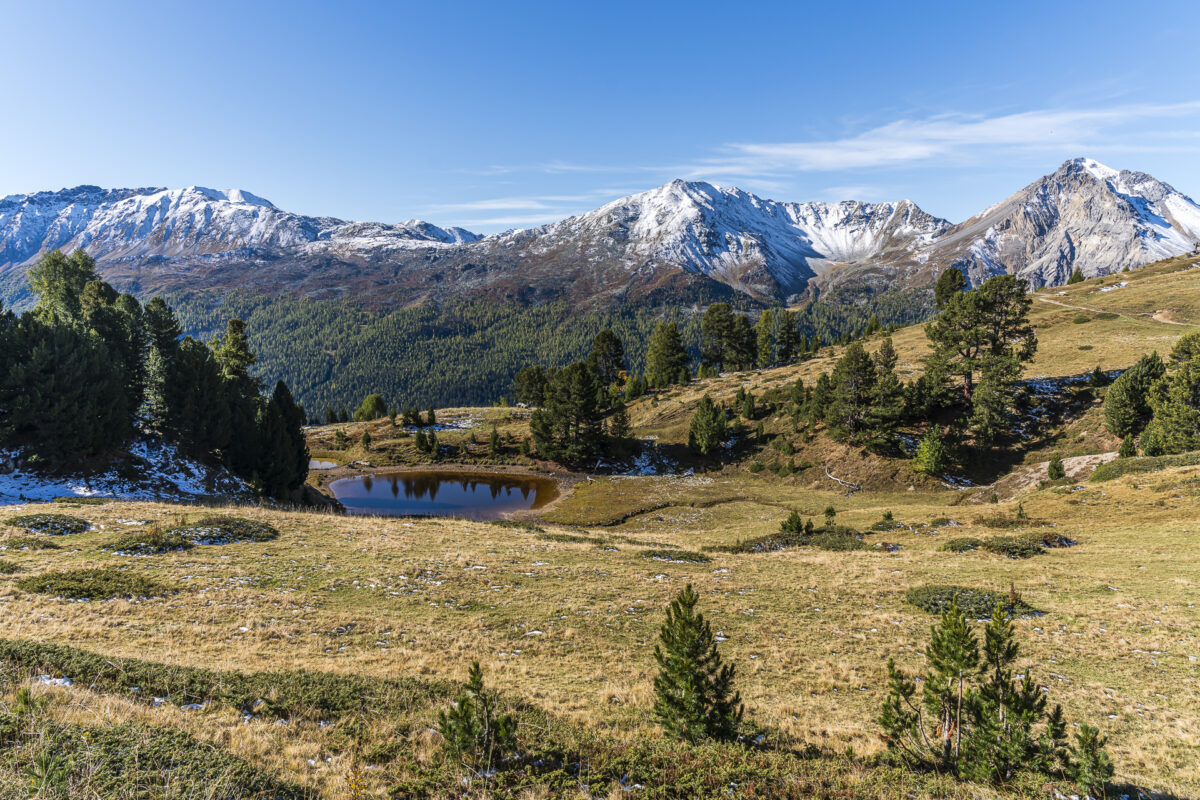
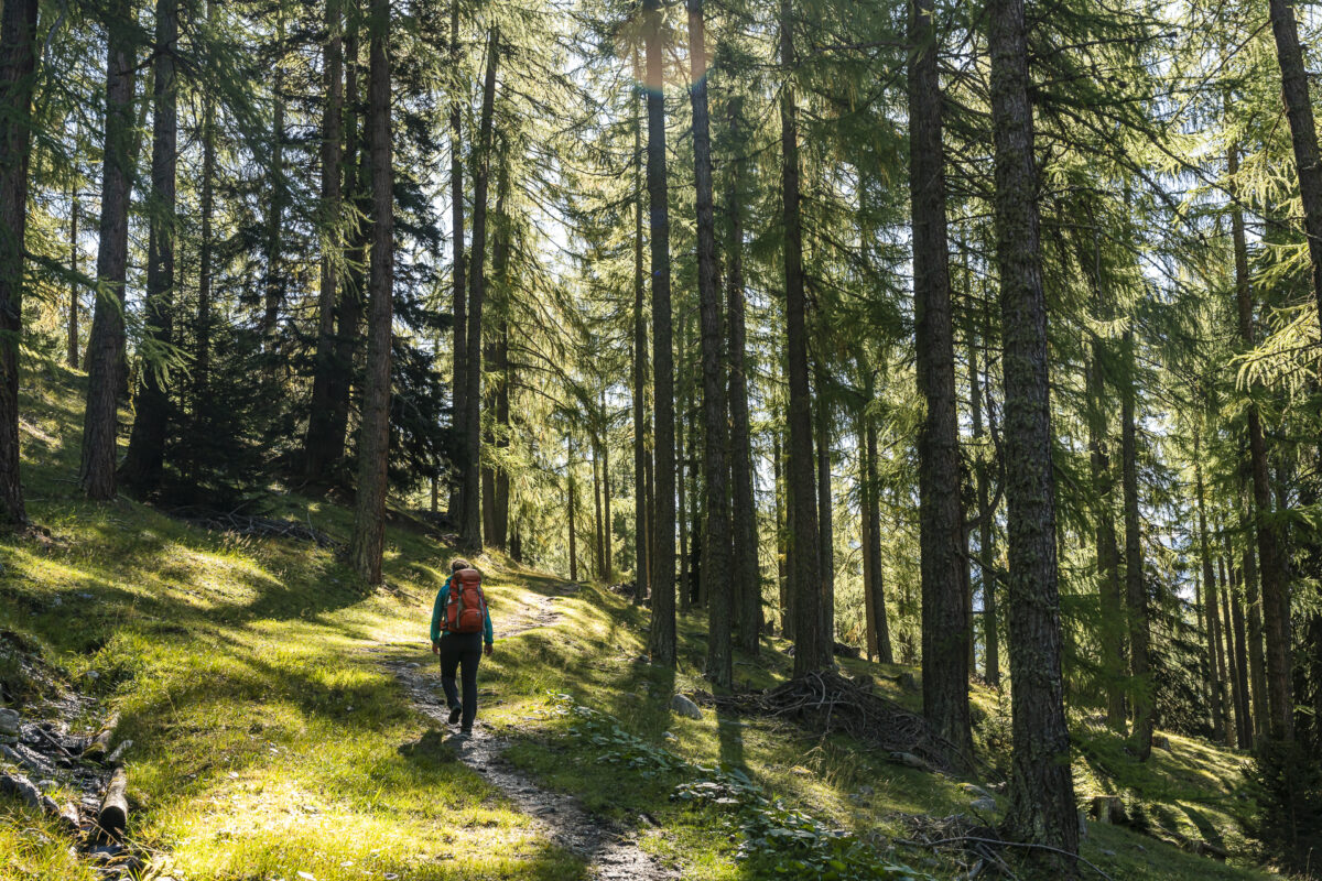
The first half-hour of the Senda Val Müstair takes you through the forest – then the trail leads across the «Plaun da l’Aua», a wide grassy plateau, to Alp da Munt. From here, it’s not far to the highest point of the tour at the mountain lake Lai da Juata.
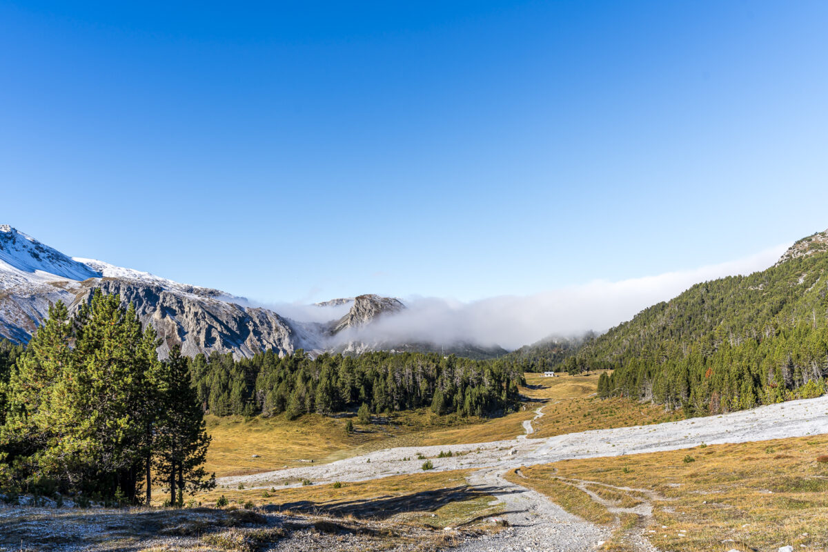
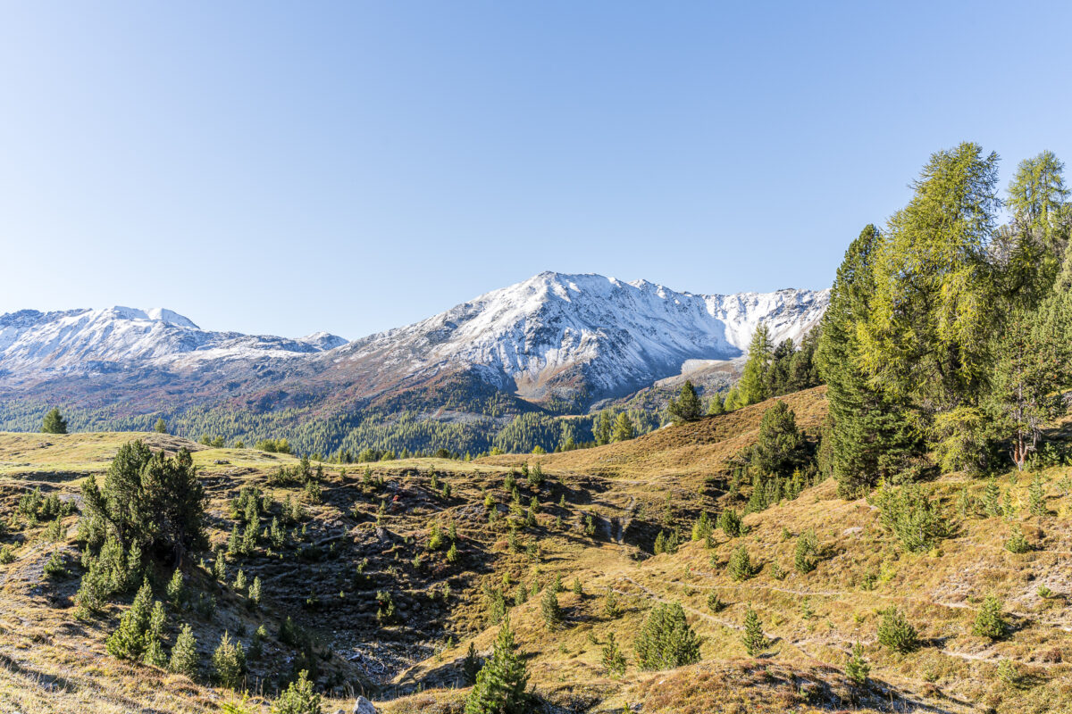
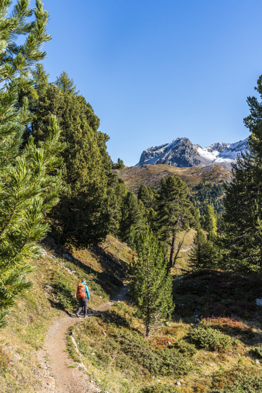
The descent from Alp Campatsch to Lü offers some beautiful forest sections. Just before Lü, the trail passes a playground with fire pits located at the forest’s edge. This is an ideal resting spot on hot summer days. In autumn, a stop at Café la Jucca at the edge of Lü is highly recommended. The café features a sunny terrace with some truly cozy seating options.
Key Facts About the Panoramic Hike from Ofen Pass to Lü
Using the following hiking map, you can trace the route of the Senda Val Müstair from Ofen Pass to Lü.
This is a white-red-white marked mountain trail (T2). The trail includes varied forest paths, which are partially interspersed with roots and stones, as well as well-maintained gravel paths. In the first third, there are a few short, slightly exposed sections, but they are not technically challenging. The route can also be done in the opposite direction, but for the best panoramic views, I recommend the route described here.
| Starting Point | Bus stop Süsom Givè (Pass summit) (2,148 m a.s.l.) |
| Accessibility | Accessible by public transport |
| Length | 9.3 kilometers |
| Elevation Gain | ↗ 265 m ↘ 487 m |
| Duration | 2:30 h |
| Endpoint | Bus stop Lü, cumün (1,920 m a.s.l.) |
| Refreshments | Alp Campatsch and Café la Jucca |
The Valley Walk – A la Riva dal Rom
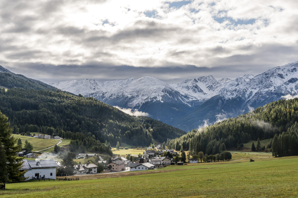
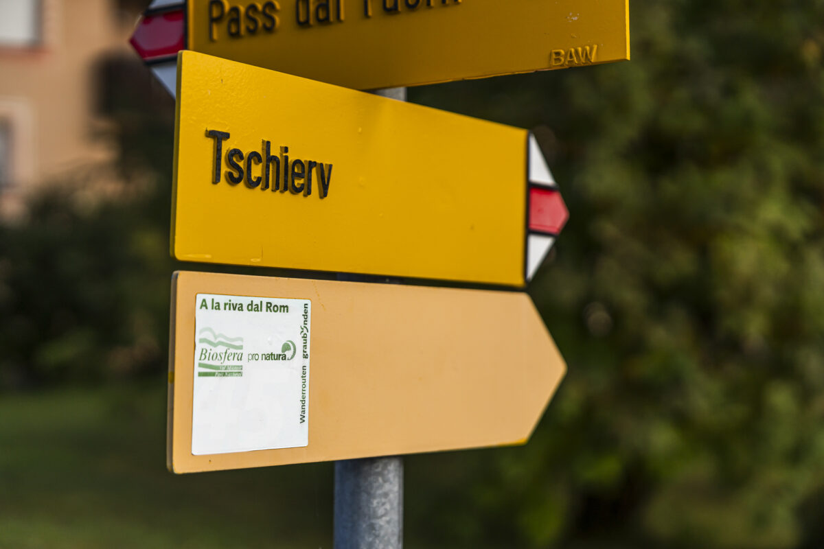
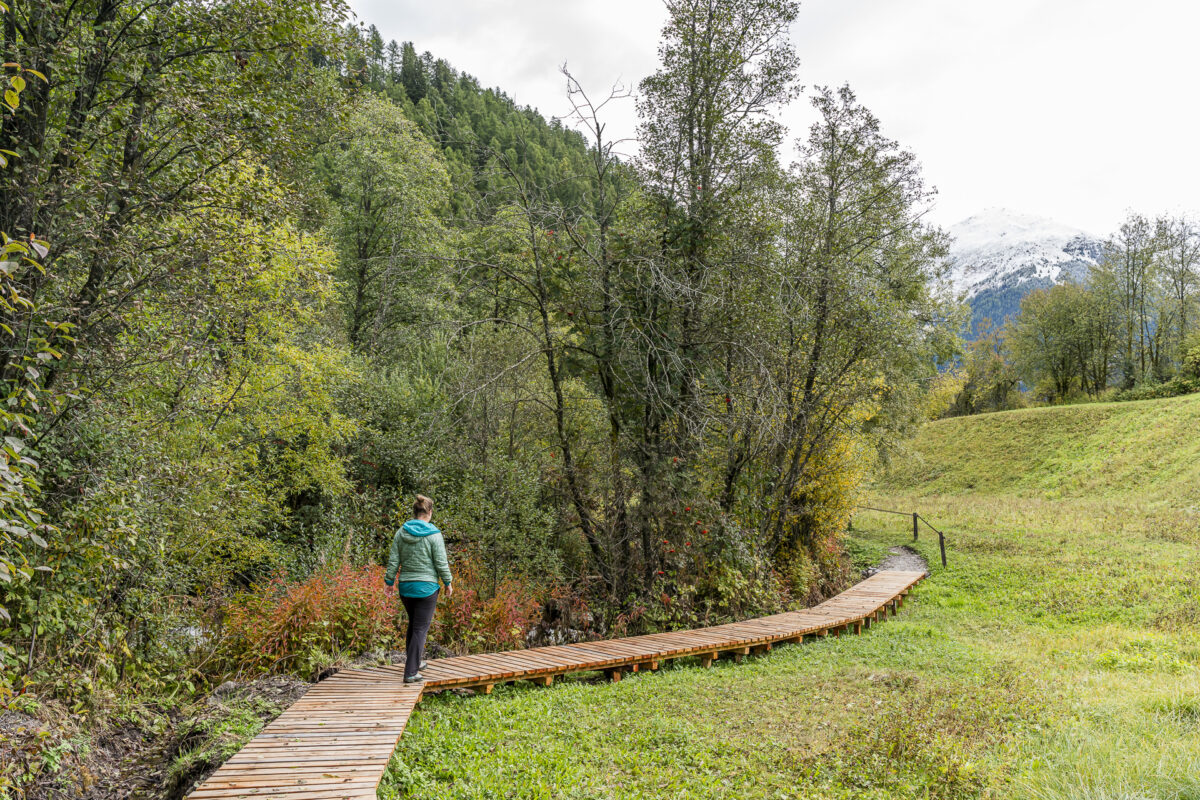
«A la Riva dal Rom» is another enjoyable themed trail. Marked with route number 801, it follows the wild main valley river of the Münstertal valley from its source in Tschierv to Müstair, 14 kilometers away. What’s special about this route is its flexibility – you can tailor it to your preferences.
Our version starts at the source above Tschierv, occasionally diverging from the meandering river to higher elevations, and finally ends in the picturesque village center of Valchava. It’s a relaxing hike, perfect for clearing your mind.
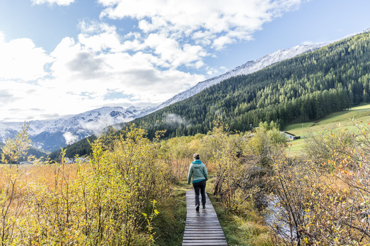
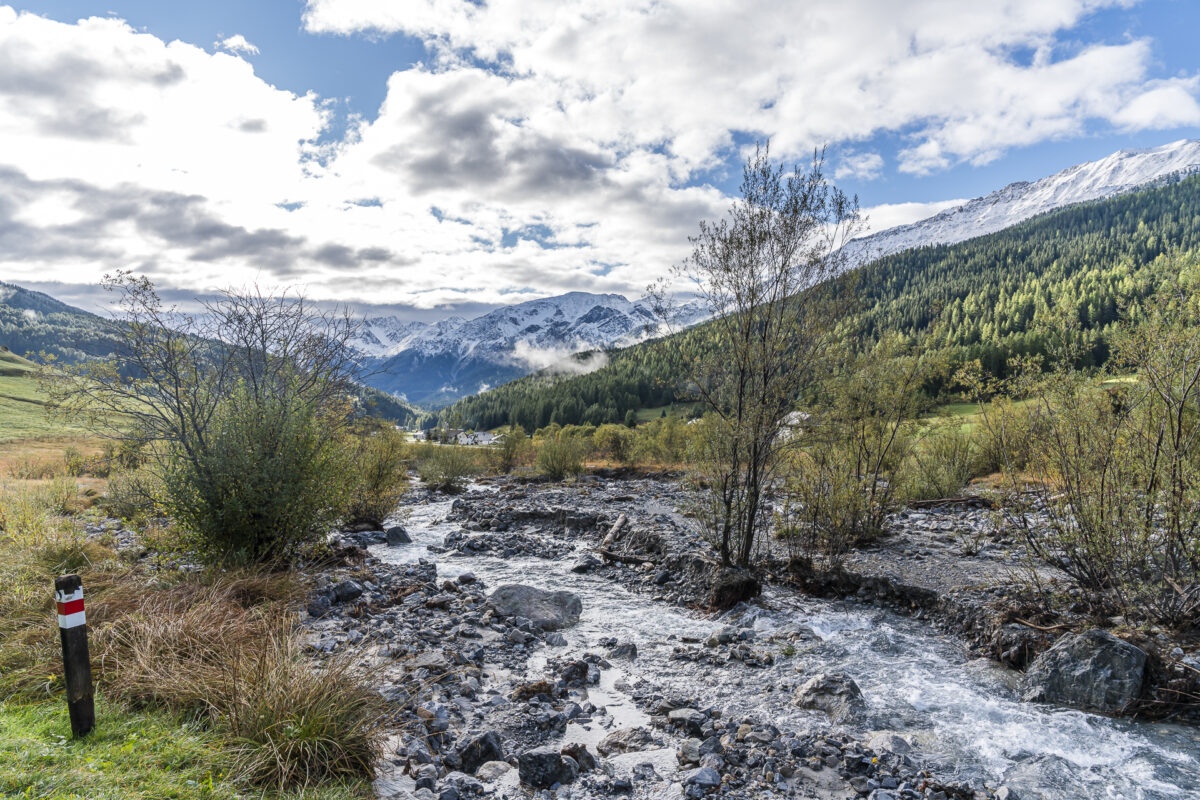
Extra Tip: On the Biosfera Val Müstair website, you can download an informative brochure full of fascinating facts about the history, flora, fauna, legends, and myths surrounding the Rom river – free of charge.
Key Facts About the Hike from Tschierv to Valchava
Using the following hiking map, you can trace the route of our customized version of «A la Riva dal Rom».
Some trail sections are marked as yellow hiking trails (T1), while others are white-red-white mountain trails (T2). Check the trail conditions in advance. During our visit, for example, detours were signaled in the upper section (near the source) due to erosion. After prolonged rain, parts of the trail can also become quite wet and slippery due to surrounding bogs.
| Starting Point | Bus stop Tschierv, Süsom Tschierv (1,730 m a.s.l.) |
| Accessibility | Accessible by public transport |
| Length | 8.9 kilometers |
| Elevation Gain | ↗ 155 m ↘ 477 m |
| Duration | 2:30 h |
| Endpoint | Bus stop Valchava, cumün (1,400 m a.s.l.) |
| Refreshments | Hotel Central Valchava |
The Perfectly Located Hiking Hotel in Biosfera Val Müstair
This time, we stayed in the charming village center of Fuldera at the welcoming Hotel Landgasthof Staila. The 3-star hotel is a member of the Responsible Hotels of Switzerland and has been committed to sustainable resource management for years. The operators source everything possible from local and regional suppliers. We felt very comfortable in the cozy, pine-furnished room and enjoyed two excellent dinners (the vegetarian Capuns are a highlight!). The location is also ideal, just a few meters from the Fuldera, cumün PostBus stop. The Ofen Pass, Lü, or the St. Johann Monastery in Müstair can all be reached within about 15 minutes by car.
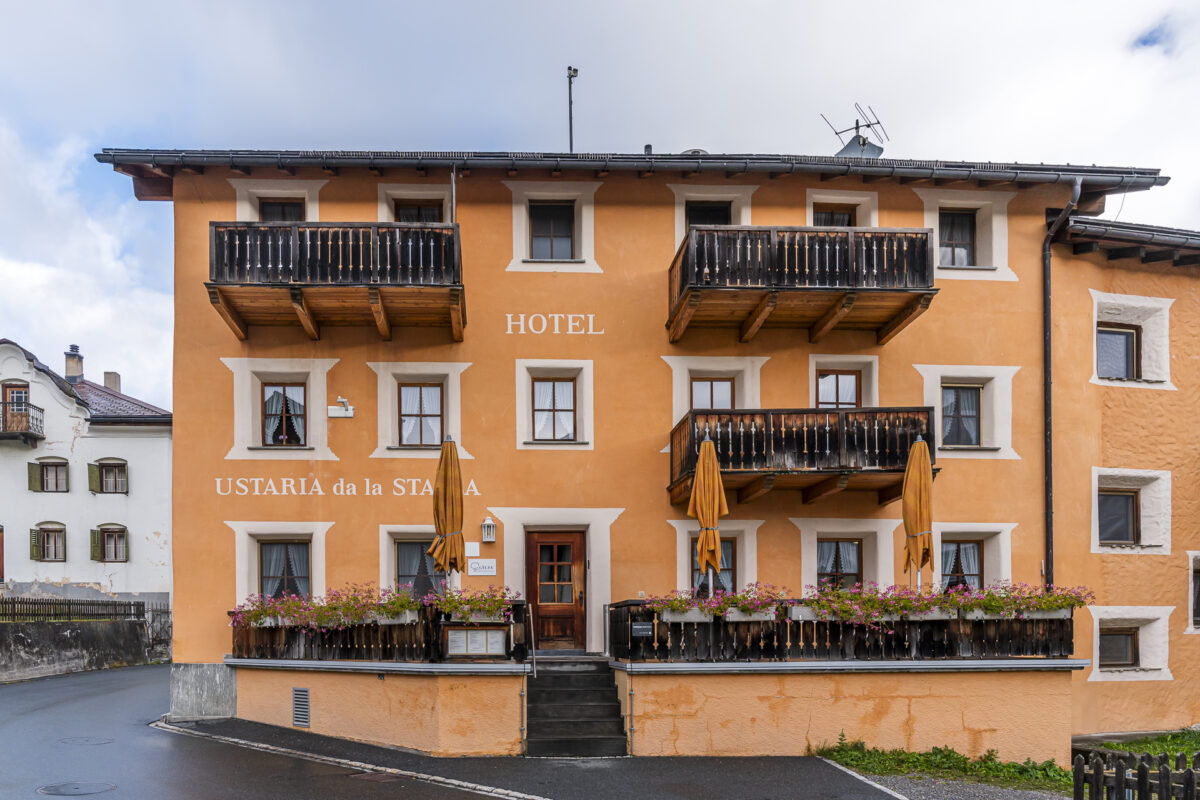
Standard double room with breakfast from CHF 100 to 110 per person per night. More information: Rooms at Staila.
Additional Tips for Your Visit to Biosfera Val Müstair
- More excursion tips for Val Müstair can be found in this blog post; it includes activities like the «Chatscha Jaura» scavenger hunt and exploring traditional businesses like the Muglin Mall.
- The Biosfera Val Müstair website also offers a wealth of ideas for diverse hikes across the 250-kilometer trail network.
- A visit to the Münstertal valley is worthwhile in any season. Fans of snowshoeing and winter hikes through fairy-tale snowy landscapes may find inspiration here.


Leave a Reply