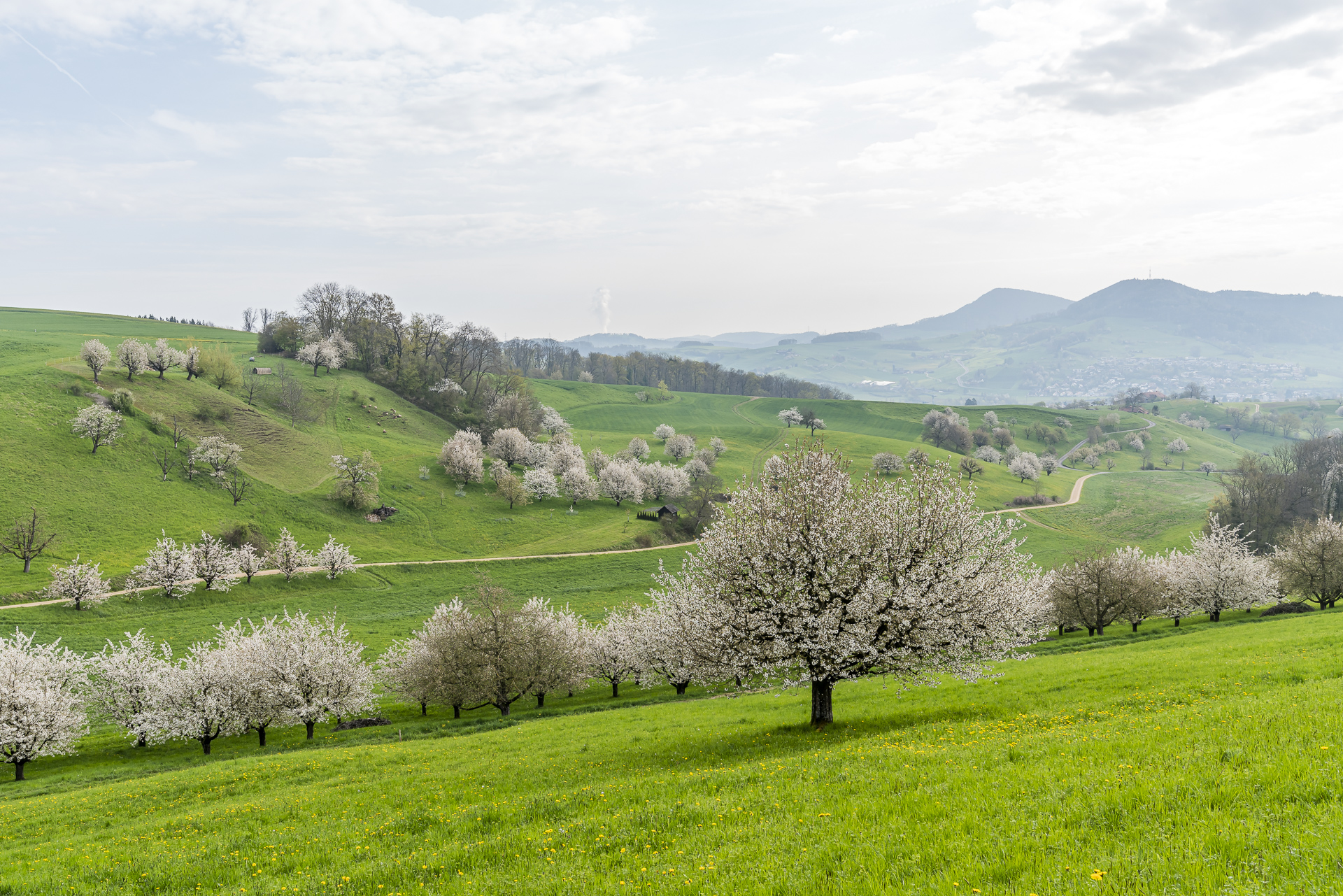
Cherry Blossom Hike on the Fricktaler Chriesiwäg
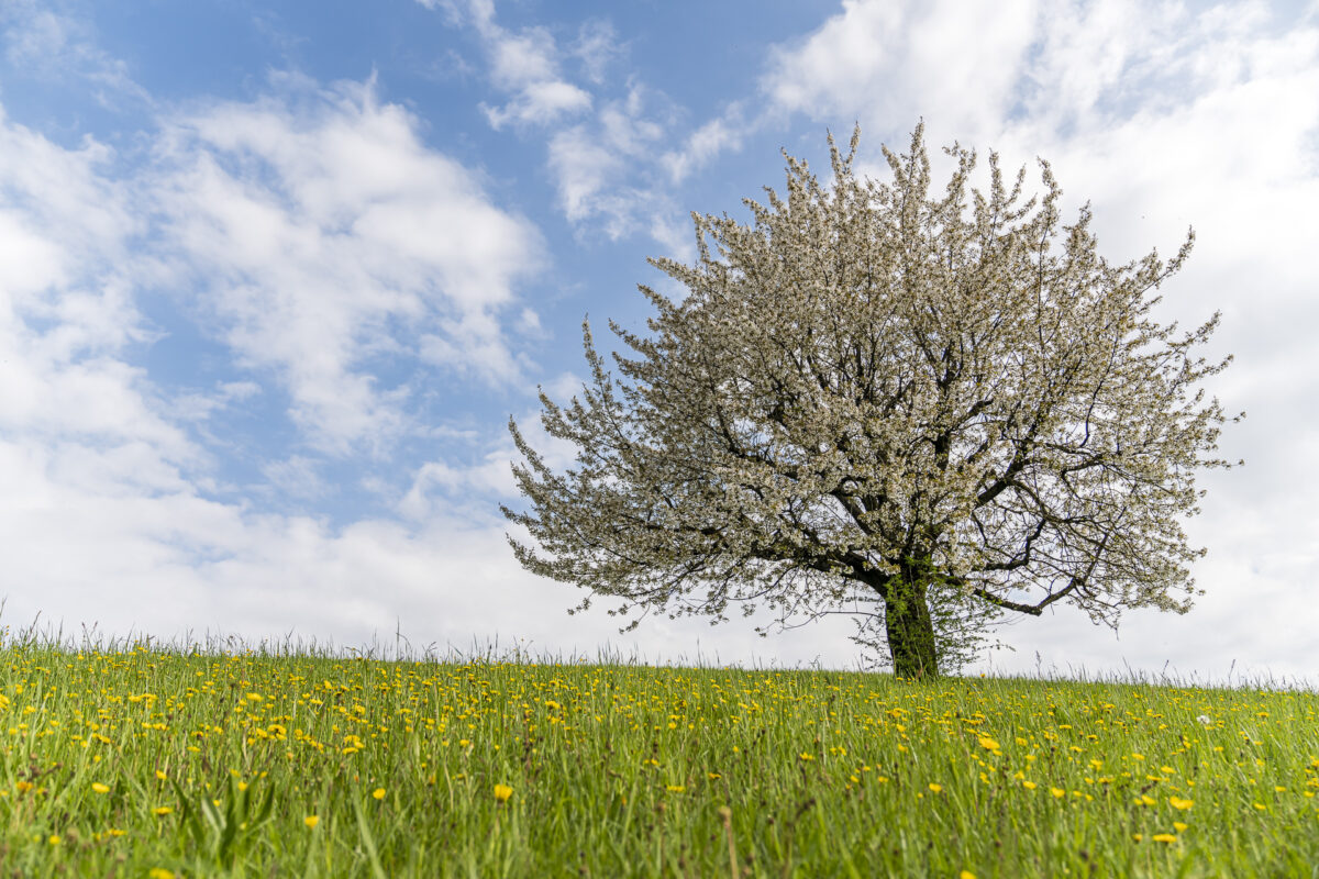
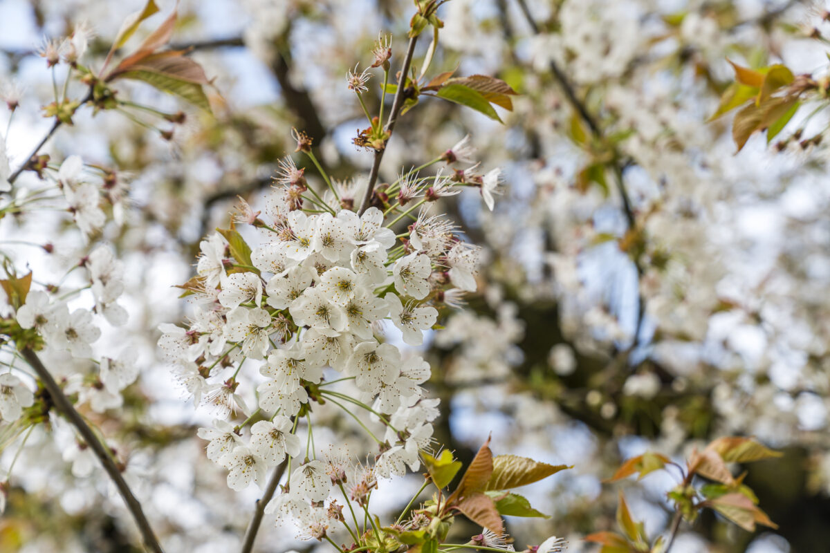
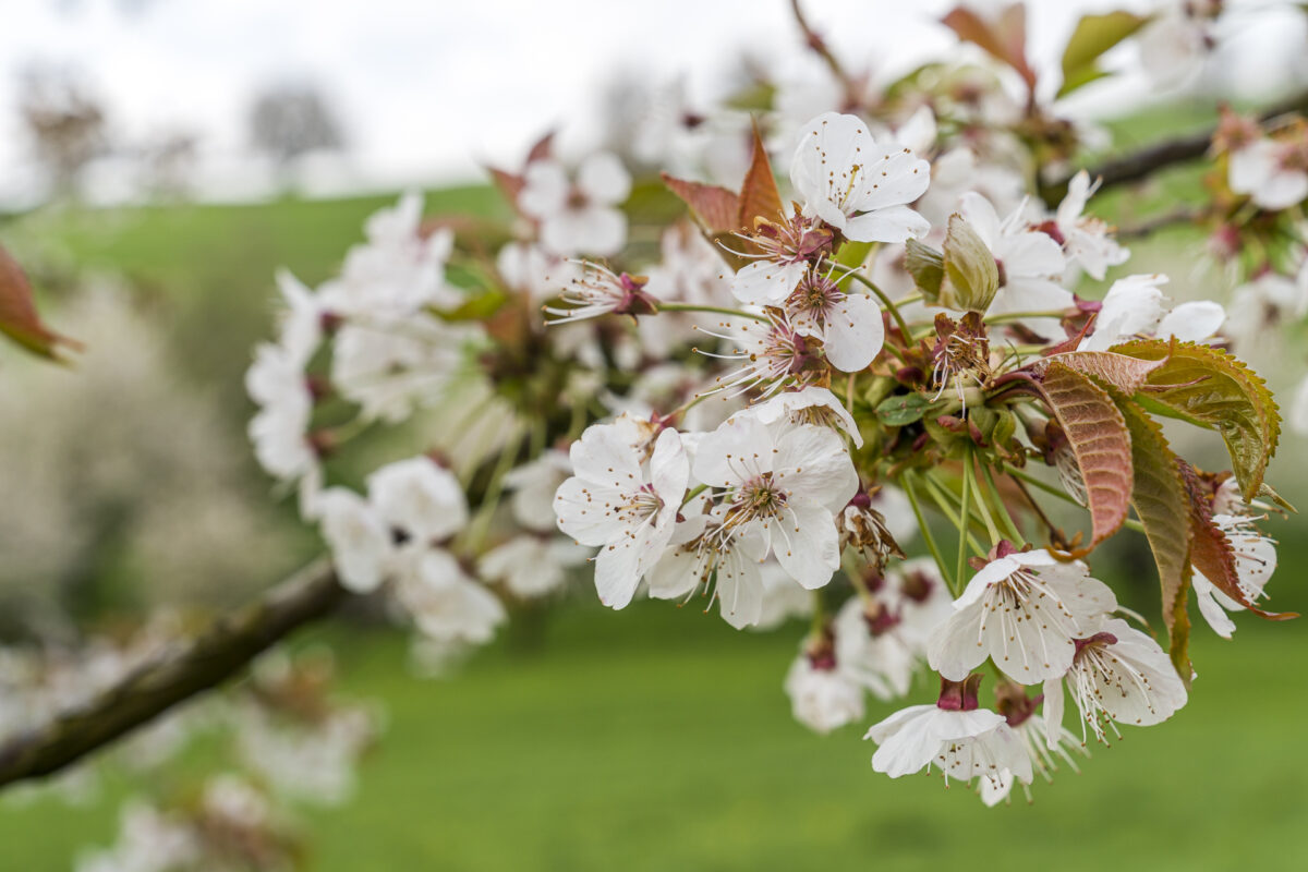
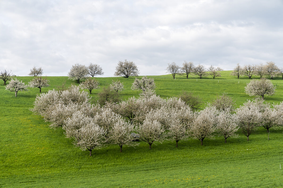
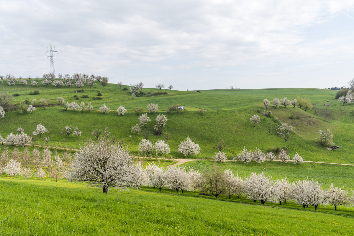
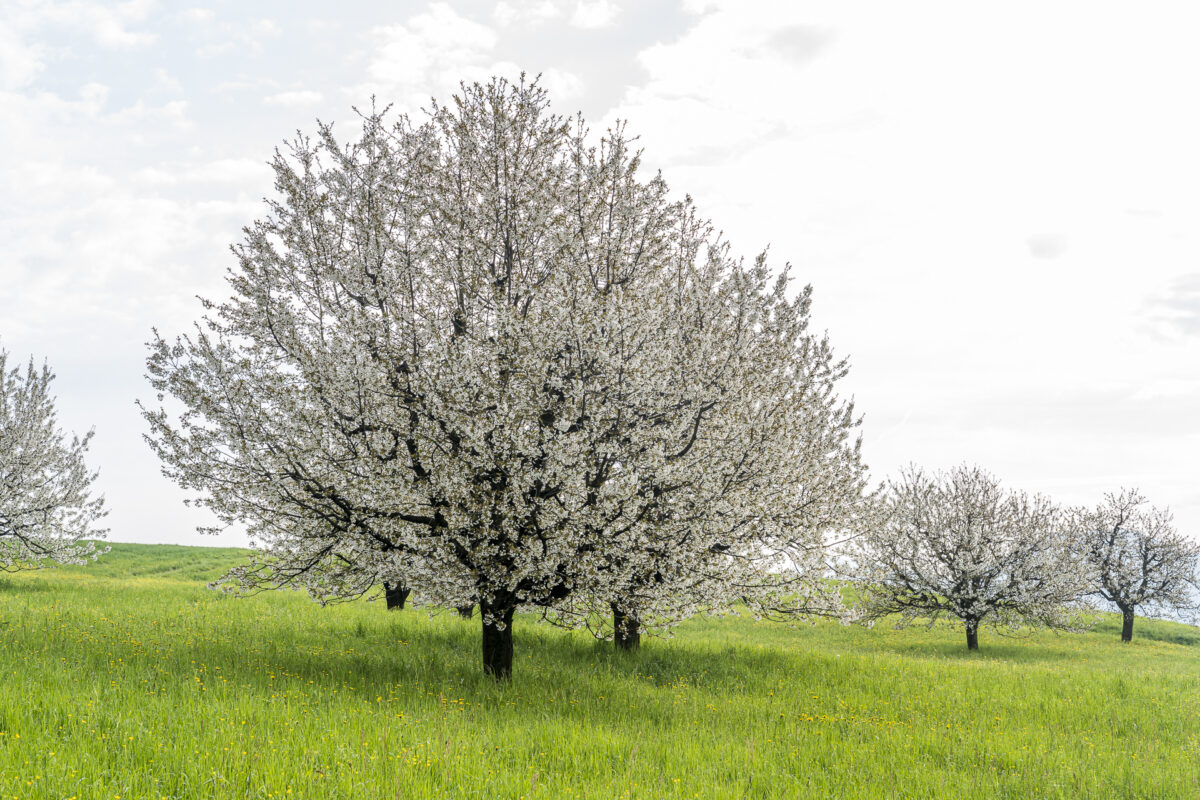
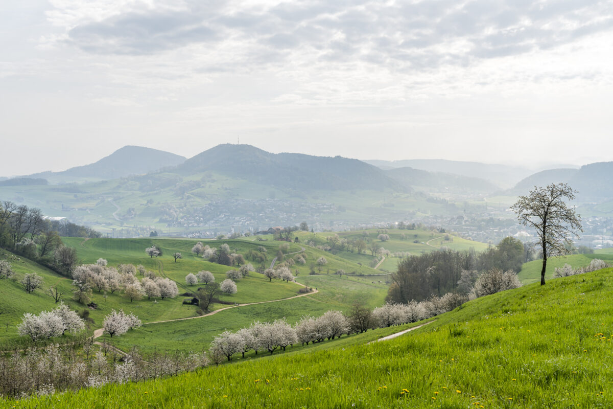
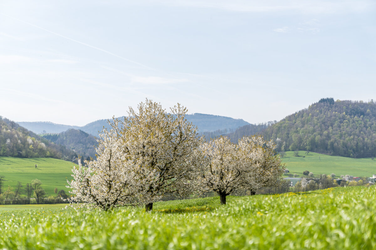
The Fricktaler Chriesiwäg is one of the most popular themed hiking trails in the Jurapark Aargau, especially in spring. At this time, the lovely, cherry-tree-rich landscape of the Frick Valley is transformed into a gleaming sea of white flowers. Two family-friendly trail options, many cosy benches along the way, magnificent views and educational information boards guarantee an entertaining hiking experience. We have convinced ourselves of this.
Click here to go directly to the hiking map and the key data of the tour
From Frick train station to the cherry blossoms
“The Chriesi trees are blooming,” announces the website of the Jurapark Aargau, and so it was clear to us: Off to the Fricktaler Chriesiwäg. The themed hiking trail has been on my list of ideas for an easy spring hike for a long time, which can be perfectly carried out from Zurich in the form of a half-day trip. And so, on Saturday morning, despite mixed weather forecasts, we set off early to the Fricktal.
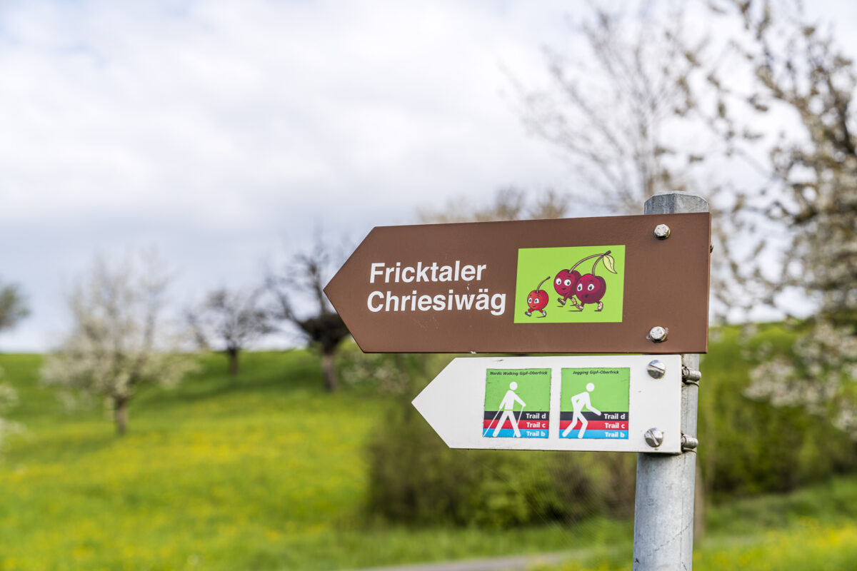
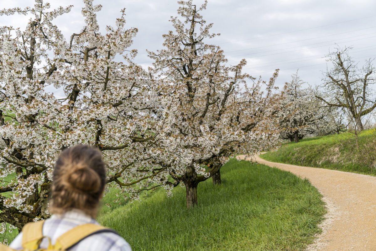
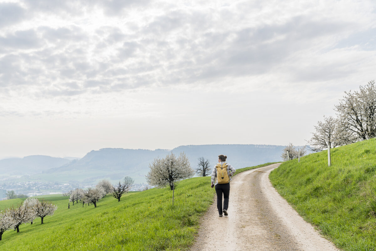
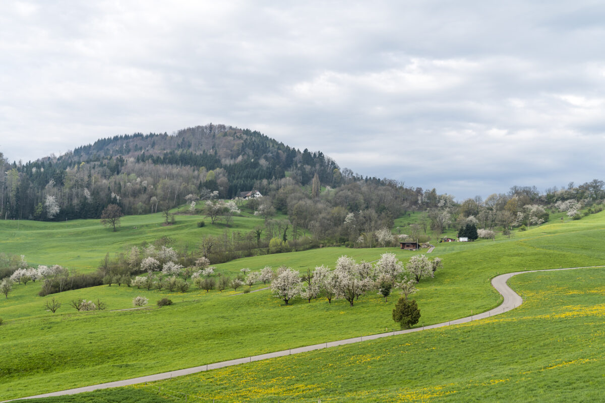
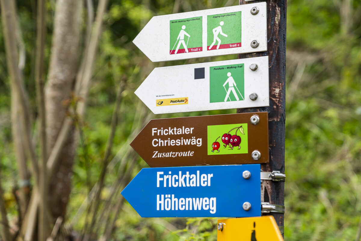
At Frick station, the “Chriesiwäg” arrow guides us towards Gipf-Oberfrick. This is where the actual themed hiking trail, designed as a circular hike, starts. This initially runs parallel to stage 1 of the Aargauer Weg (Frick-Wittnau). At the level of Eggweg/Märtenweg, the Chriesiwäg branches off to the right, while the Aargauer Weg climbs directly towards Farschberg. As soon as we have left the last houses behind us, we see the white blossoming cherry trees in front of us, visible from afar.
The Chriesiwäg: an entertaining themed trail
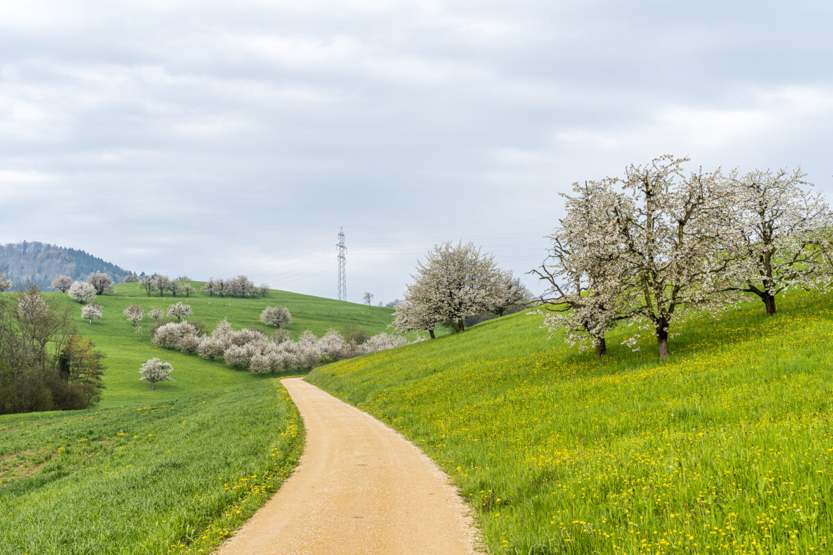
On the Fricktaler Chriesiwäg you can not only marvel at the splendor of the blossoms, but also learn all kinds of interesting facts about the cherry trees and their cultivation on information boards along the way. On the first few kilometers, we are also pleasantly surprised that the path is not overcrowded – as we secretly feared. On the contrary, we only pass a few walkers.
We follow the Chriesiwäg through a cherry grove in full bloom and meet the Aargauer Weg again after a scenic arc. Where the two paths meet again: directly below the Farschberg you will find a beautifully situated rest area with a barbecue area. For those who, like us, haven’t packed a picnic, the sign “Bluescht-Beiz” should catch the eye at this point. Unfortunately, the opening hours don’t quite correspond to our jagged hiking pace this morning.

Additional loop to the castle ruins of Alt Tierstein
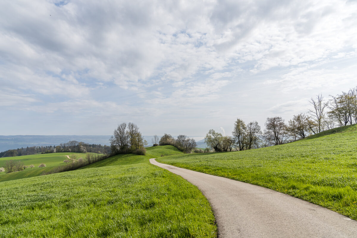
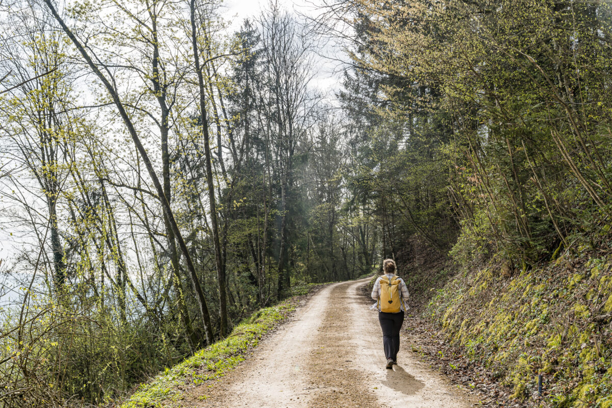
At the rest area, it is possible to descend via the shorter version of the Fricktaler Chriesiwäg via Farnsberghof in the direction of Gipf-Oberfrick. Or to tackle the additional route, which is about twice as long, with an ascent to the Alt-Tierstein ruins. We opt for the latter and follow the hiking trail further uphill. After about five minutes, we pass the turn-off to the Bluescht pub on the Wendelhof. After a scenic passage along a ridge, we dive into the Thiersteinberg-Homberg-Horn natural forest reserve.
And back to Frick train station
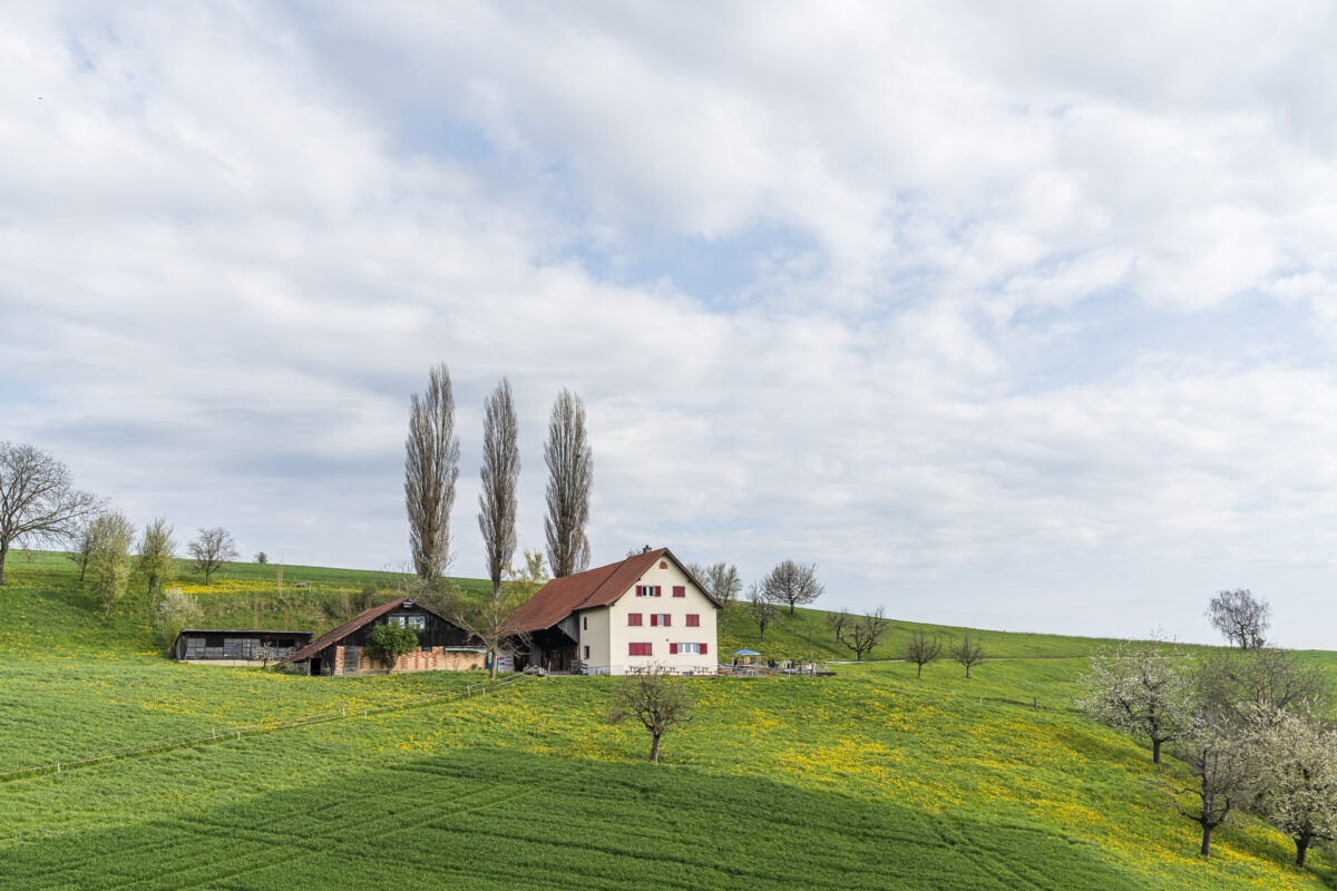
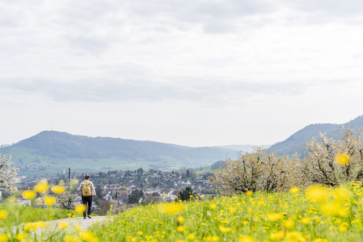
If you want to visit the ruins of Alt Tierstein Castle, you should not follow the “Chrisiwäg” sign at the fork in the road before the “Burgmatte”, but climb to the right-hand side for about 200 meters. The additional route of the Fricktaler Chriesiwäg then follows the edge of the forest in another scenic passage. Above the farm “im Sitt”, the path cuts down the valley towards Gipf-Oberfrick. Here the signposts will lead you in the direction of the Rösslibrücke bus stop. Alternatively, you can follow the hiking trail to the “alte Post” bus stop. There are connections to Frick and Aargau at both bus stops (Postbus line 136 every half hour).
Of course, once you arrive at the main road, you can also walk along the main road to Frick train station. On the one hand, this option did not seem particularly attractive to us and, on the other hand, we would most likely have missed the planned train back to Zurich on foot.
Practical tips for your hike on the Fricktaler Chriesiwäg
On the following map you can see the route of our hike on the Fricktaler Chriesiwäg. The route measures 9 kilometres and includes an ascent of a good 270 metres in altitude. The Fricktaler Chriesiwäg runs on yellow-marked hiking trails as well as on roads and paths not classified as hiking trails. Around 50% of the route is paved. The high tar content is a pity – but the Chriesiwäg can easily be walked on with a stroller.
The Bluescht-Beiz on the Wendelhof is open daily between 11:00 a.m. and 5:00 p.m. in April, weather permitting.
Key data Fricktaler Chriesiwäg (incl. additional route)
| Starting point | Frick railway station (360 m above sea level) |
| Reachability | accessible by public transport |
| Length | 9 kilometers |
| Elevation gain | ↗ 270 m 250 m ↘ |
| Duration | approx. 2:00 h to 2:30 h (without stop for refreshments) |
| Destination | Bus stop Gipf-Oberfrick, alte Post (370 m above sea level) |
| Catering | Barbecue area, seasonal broom pub at the Wendelhof (signposted) and self-service kiosk with sweet cider and ice cream at the farm “Im Sitt” |
You can find more ideas for scenic spring hikes in the canton of Aargau in this article: 5 great excursion destinations and hiking ideas in Aargau. And more flower-rich hiking tips can be found in these blog posts:
- Daffodils on the Chemin du Mont Sujet
- Daffodils in Prättigau
- The cherry blossom on Lake Zug


Leave a Reply