

On the Basel-Landschaft Cherry Trail through the Tafeljura
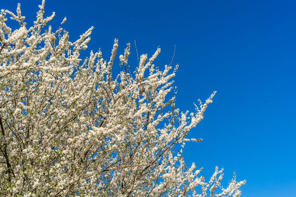
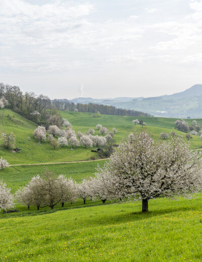
It’s that time of year again – cherry blossom season, known locally as the “Bluescht,” is just around the corner. While many trees in the cities are already in full bloom, the natural spectacle along the Baselbieter Chirsiweg, nestled in the gentle Jura hills, is still in its early stages. As of early April, most buds here remain closed and are expected to burst into bloom over the coming days. But it’s not just the cherry blossoms that make this hike special – the trail also charms with scenic ridges, idyllic villages, and hidden waterfalls.
Starting the Hike in Anwil
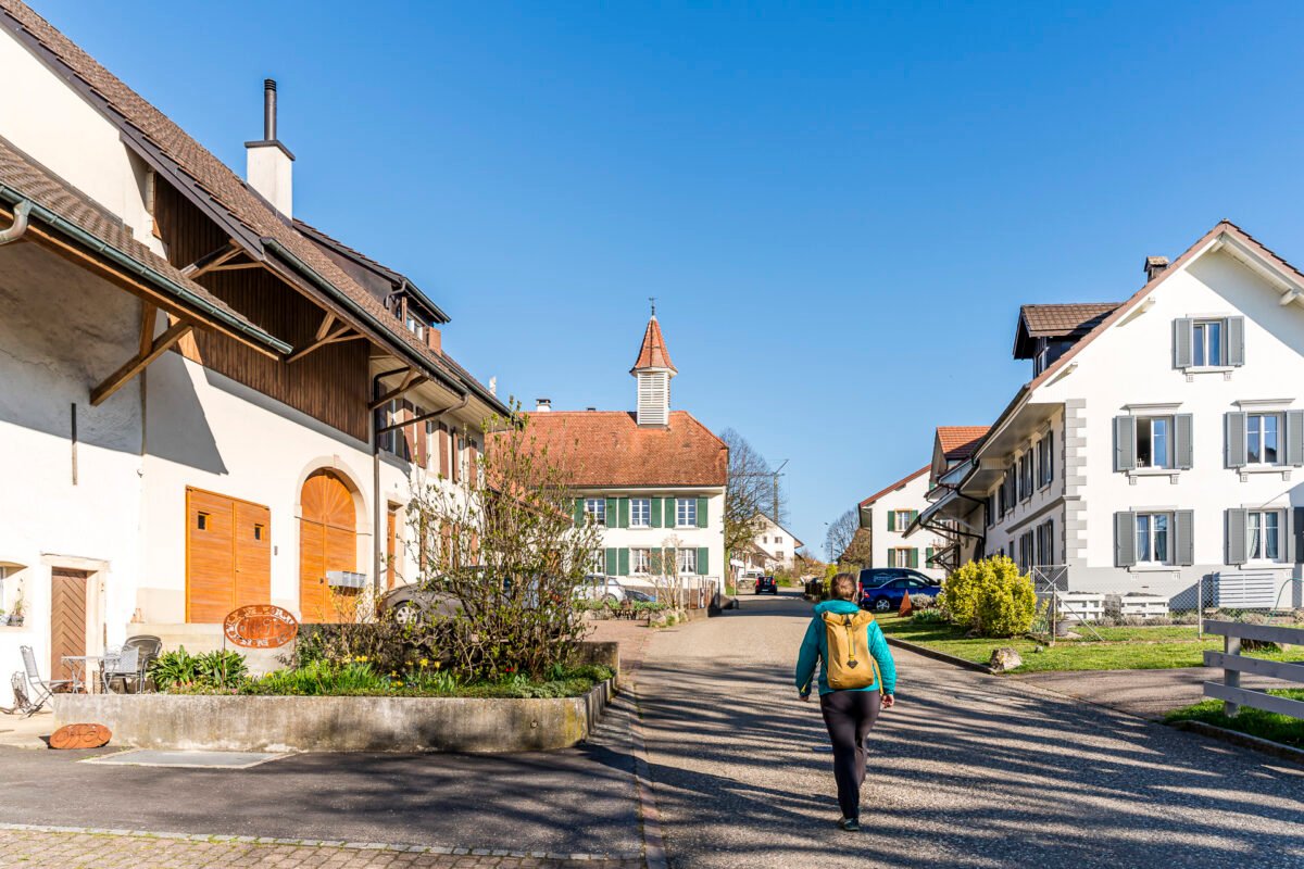
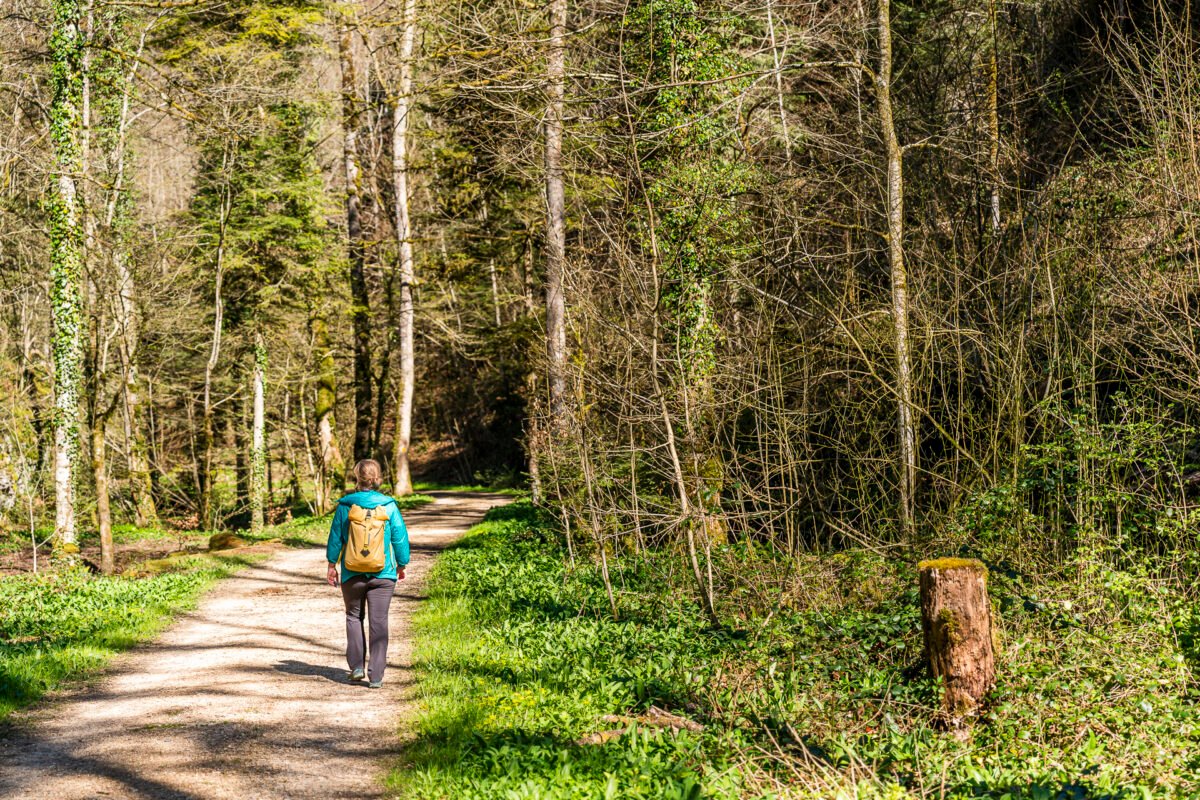
Our hike begins in Anwil, a former border village near the Fricktal region. On this early Saturday morning, the village still feels sleepy. The “Jägerstübli” restaurant directly opposite the Anwil, Dorf bus stop has unfortunately closed permanently – anyone hoping for a “starter coffee” will be disappointed. We leave the main road and turn onto Dorfstrasse. Signposts guide us past stately farmhouses through the quiet village center, and then onto a forest path that leads us down into the deeply incised Obertal valley.
Tranquility in the Talweiher Nature Reserve
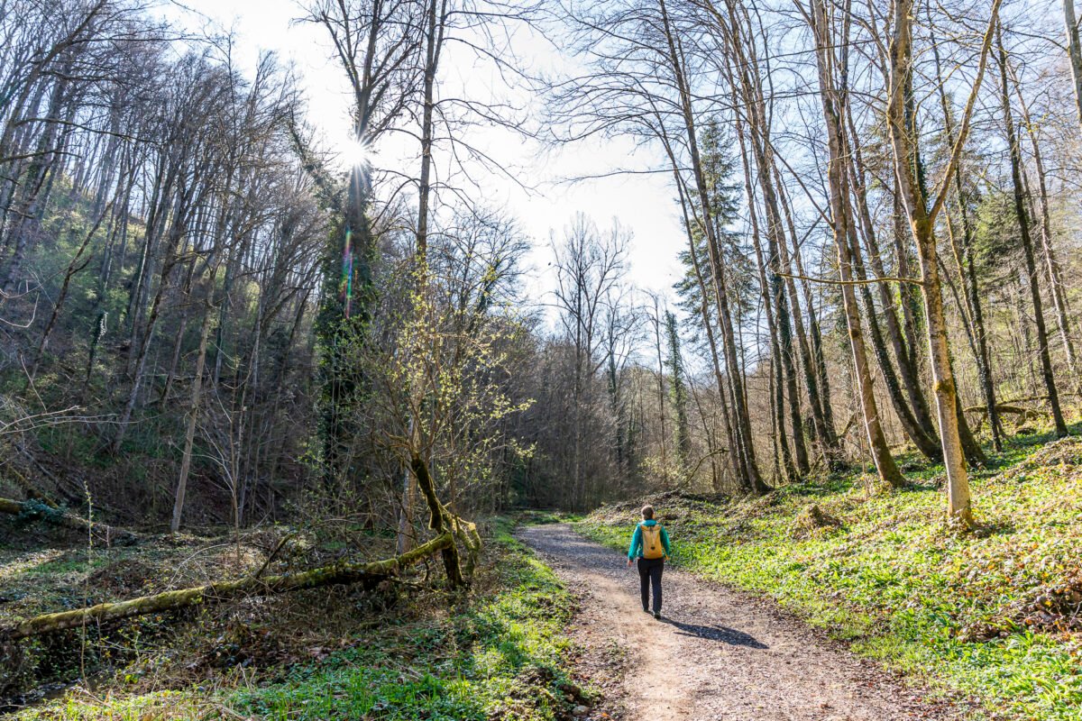
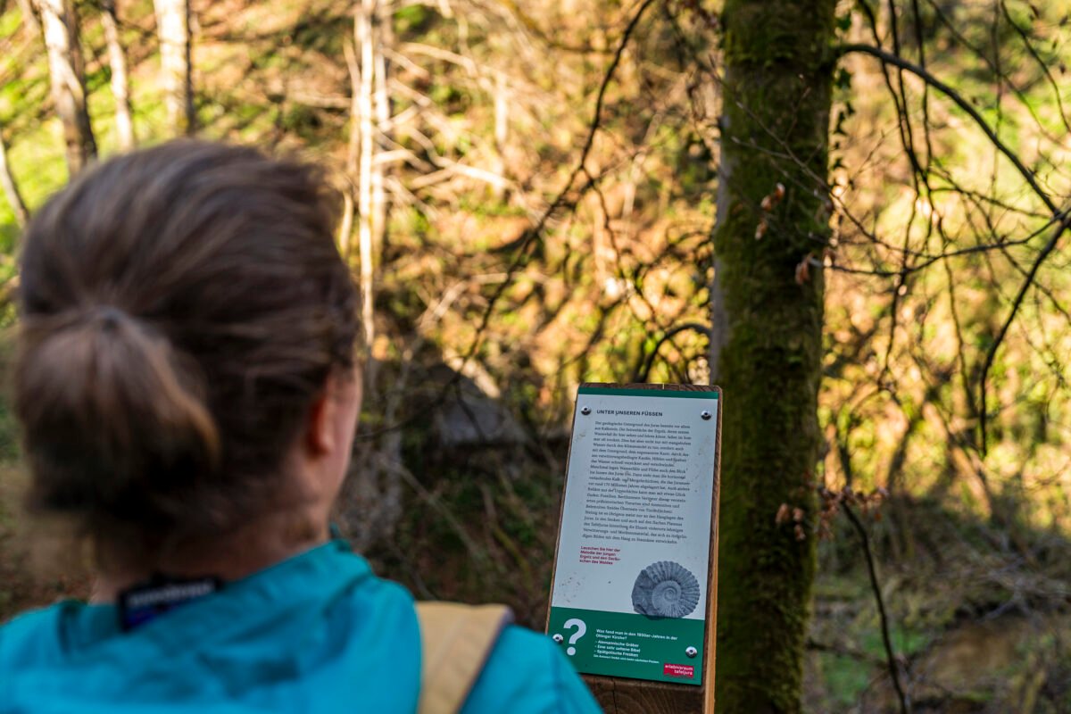
If you’d rather skip the loop through the village of Anwil, you can instead get off at the “Anwil, Talweiher” bus stop and start the hike directly at the bottom of the Obertal. Either way, the next two kilometers along the young Ergolz River to Oltingen are, in my opinion, among the most beautiful sections of this route. We follow the discovery trail “Passepartout Tafeljura” and explore informative panels along the path that reveal fascinating details about the flora and fauna of the Talweiher Nature Reserve. With a bit of patience – and a touch of luck – you may even spot rare bird species here.
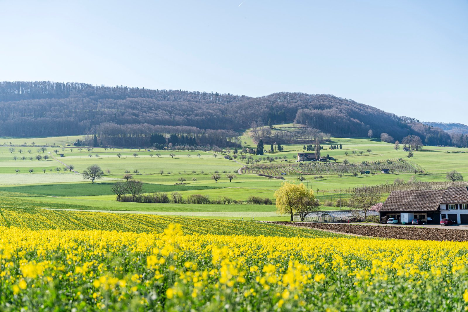
Farming Villages, Orchards, and Scenic Views on the Chirsiweg
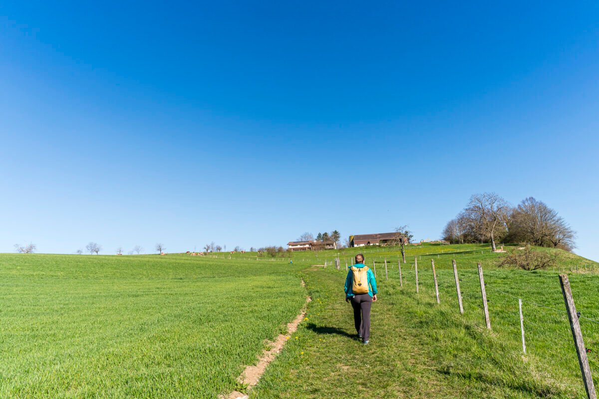
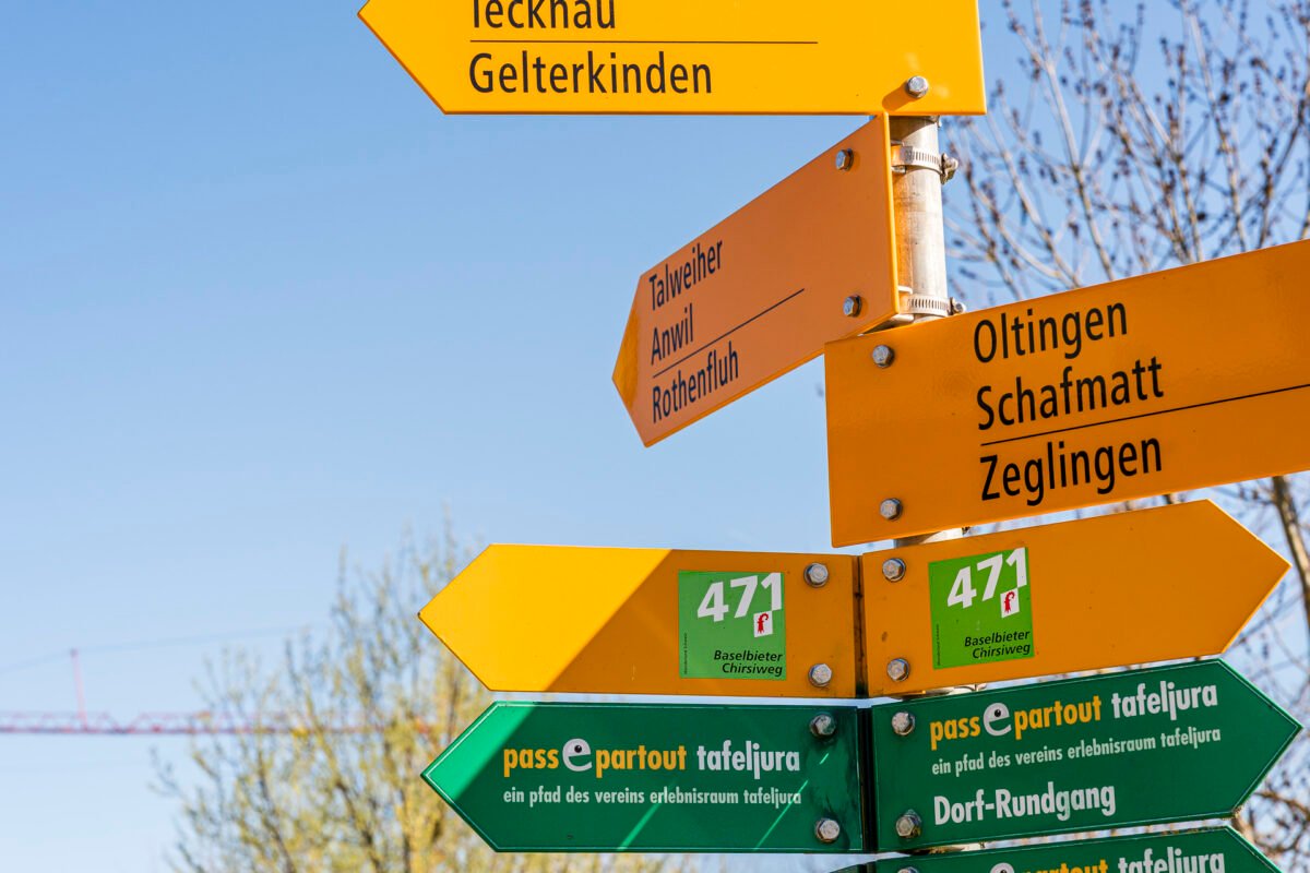
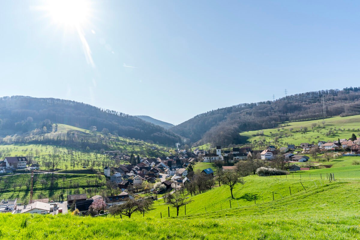
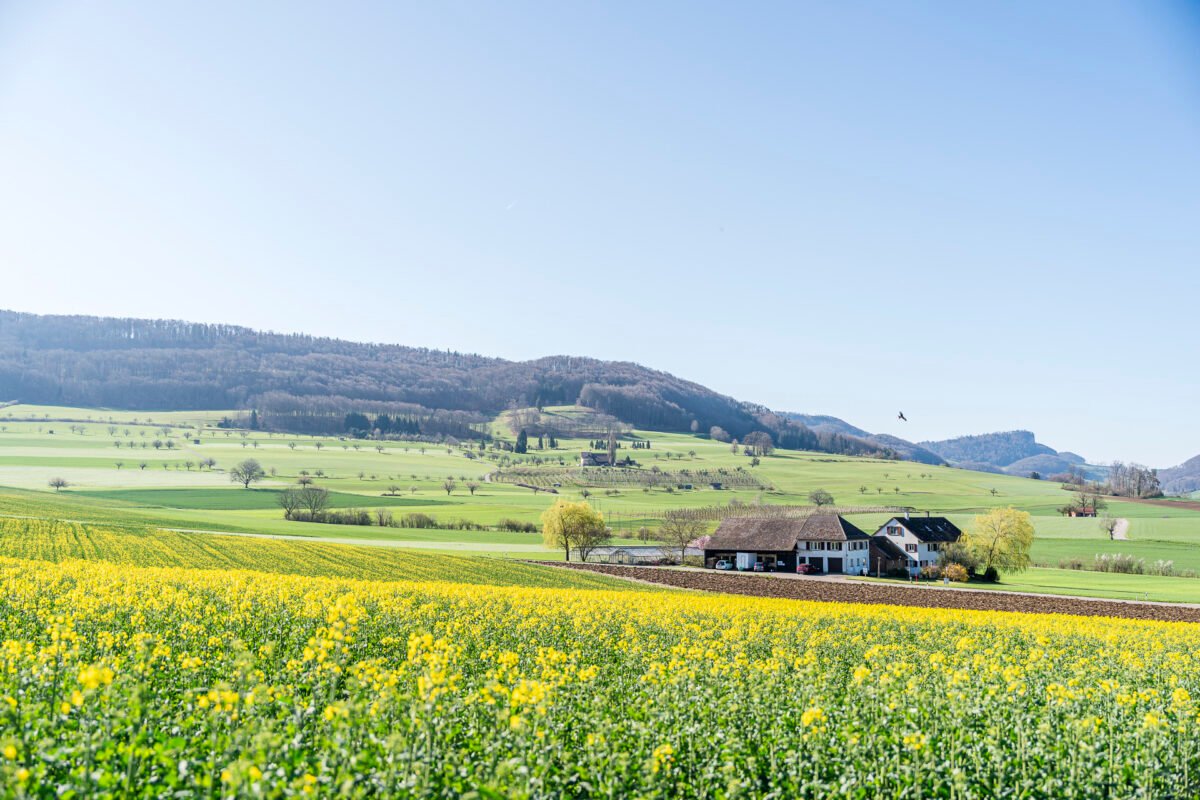
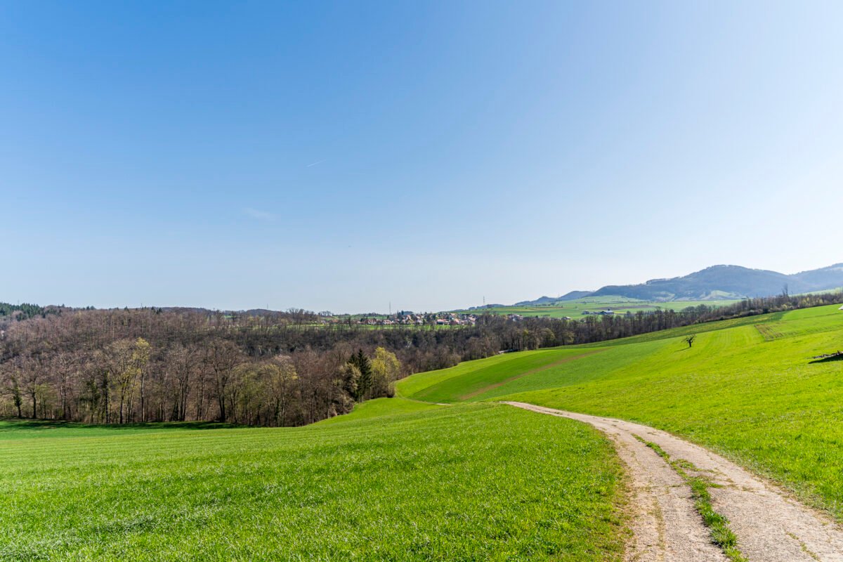
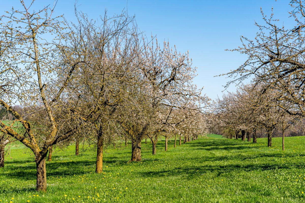
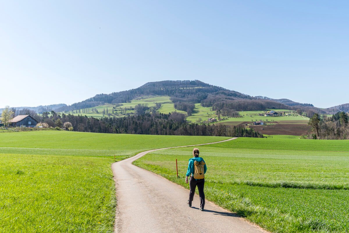
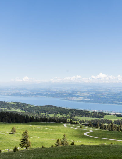
The discovery trail is a project of the Erlebnisraum Tafeljura association, which is committed to the sustainable development of the Oberbaselbieter Tafeljura region. Even many experts are unaware of this nationally significant landscape. In Oltingen, we spot the first blooming fruit trees along the path – a promising start. From here, we follow the waymarked Baselbieter Chirsiweg, which leads us up several meters in elevation into the hills of the Tafeljura. Once at the top, we’re rewarded with expansive views over fields, orchards, and the region’s characteristic rolling hills. The view also gives us a good sense of the route ahead.
If the relatively tame farm paths up here had you wondering whether sneakers might have sufficed, that doubt is quickly dispelled after passing through the village center of Wenslingen: suddenly, steep rock walls loom before us – and a narrow, sharply descending trail. As we make our way down into the tight Eibtal valley, some technical footing is now required.
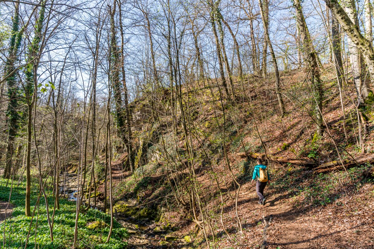
The valley floor is quickly crossed, and on the opposite side, the Chirsiweg trail climbs again to the next “panel.” At the outskirts of Rünenberg, we spot more blooming cherry trees – although a few more warm spring days are needed for full blossom.
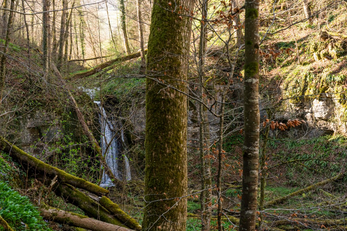
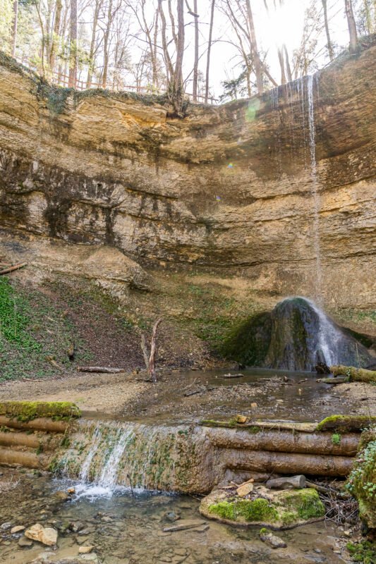
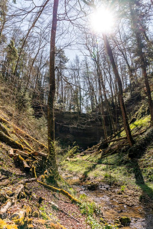
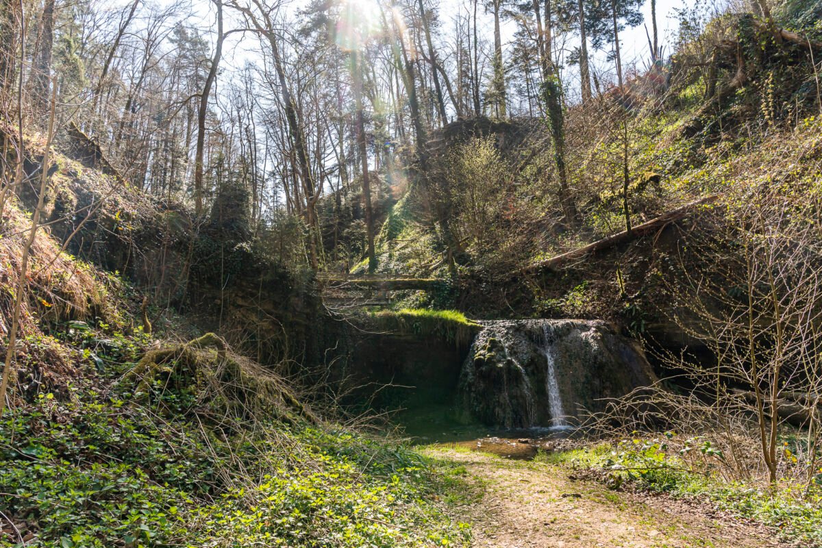
A Highlight Along the Trail: the Rünenberger Giessen
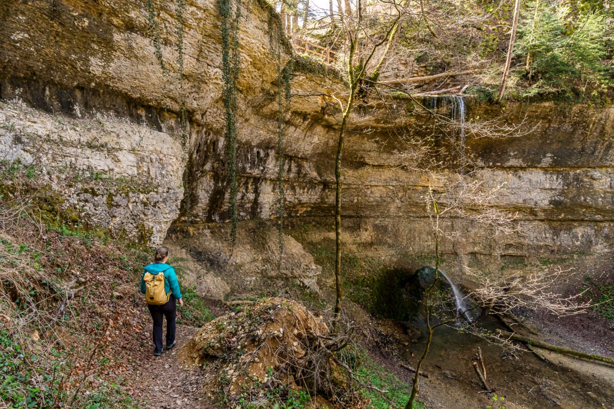
In the final third of the Baselbieter Chirsiweg, a scenic highlight awaits: after passing through Rünenberg’s village center, the trail initially follows a quiet paved road heading south. After about 400 meters, we turn onto a forest path that leads us to the “Rünenberger Giessen” at the end of the Stieregrabe valley. Here, water cascades 18 meters over a curved rock wall onto a tufa cone. Depending on water flow and rainfall, the waterfall’s appearance can change dramatically. This section is also quite adventurous: a narrow, stepped path winds down along the cliff face to the valley floor.
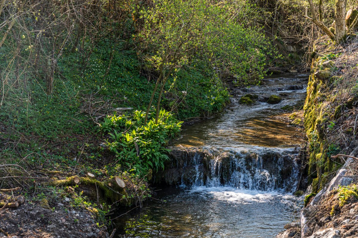
Final Kilometers Through the Peaceful Chrindtal to Sommerau
On the last stretch of just under three kilometers to the finish, we are treated to a pleasant forest trail that follows the gently babbling Chrintelbach stream. The Baselbieter Chirsiweg ends at Sommerau train station – located on the oldest railway line between Basel and the Swiss Plateau.
Hike Overview: Anwil – Oltingen – Wenslingen – Sommerau
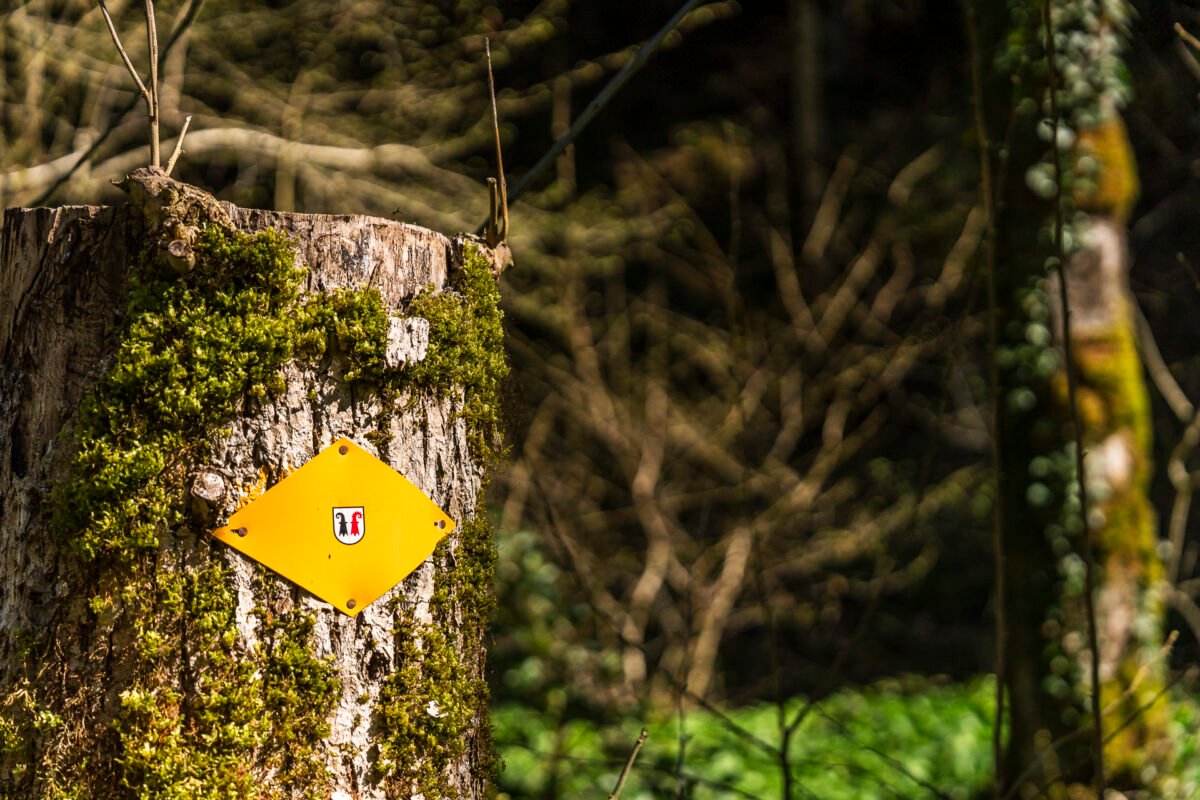
You can view the route of our hike from Anwil via Oltingen and Wenslingen to Sommerau on the map below. The entire route follows a yellow-marked hiking trail (T1/T2). It is not suitable for strollers. Each of the three villages along the route has a bus connection – making it easy to shorten the hike as needed.
Since our hike took just about three hours and we were on the trail in the morning, we didn’t stop for a break. However, there are several good places to take a rest along the way: One option is the Löwen Inn in Rünenberg. Alternatively, two grill spots are available – one near Anwil in the Obertal valley, just a few steps from the “Anwil, Talweiher” bus stop. The second fire pit is located in the Chrindeltal, roughly halfway between Sommerau station and the Rünenberger Giessen waterfall.
| Starting Point | Anwil, Dorf bus stop (580 m a.s.l.) |
| Accessibility | Accessible by public transport |
| Distance | 13.5 kilometers |
| Elevation Gain | ↗ 350 m ↘ 490 m |
| Duration | 3:30 h |
| End Point | Sommerau train station (450 m a.s.l.) |
| Dining Options | Löwen Inn in Rünenberg (closed on Mondays, open from 5:00 PM on Tuesdays) |
Practical Tips for Your Hike on the Baselbieter Chirsiweg
-
- There is at least one hourly bus connection to Anwil from Gelterkinden. During peak hours, buses may run every 30 minutes.
-
- From Sommerau, there is an hourly S-Bahn train to Olten.
-
- The trail passes by several farm shops where you can buy local products.
-
- Information panels from Erlebnisraum Tafeljura provide fascinating background details about this unique natural and cultural landscape.
-
- In springtime, you can also enjoy cherry blossoms in the nearby Fricktal region – along the Fricktaler Chriesiwäg.
Leave a Reply