


Hiking in Parc Ela: My Hiking Adventure on the Parc Ela Trek
Advertisement: Post in collaboration with the Association PRE Parc Ela Trek
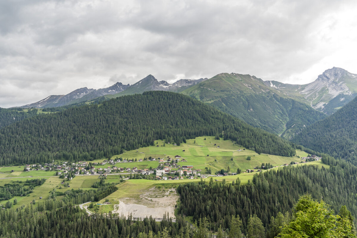
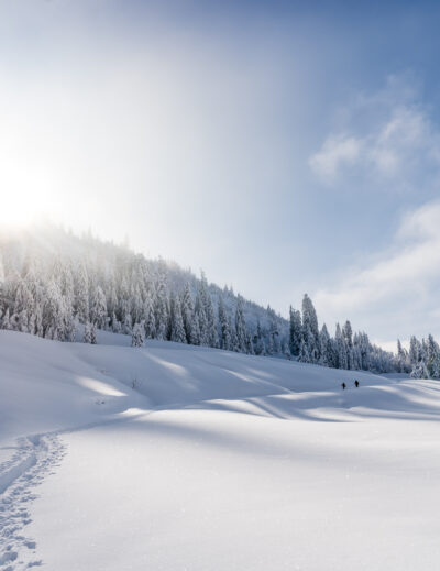
Since last summer, the Parc Ela Trek invites you to immerse yourself in the diverse landscape around the Albula, Julier, and Septimer Alpine passes on 17 challenging daily stages. This long-distance hike around Switzerland’s largest regional nature park covers 220 kilometers and 15,000 meters of elevation gain. It’s a fantastic source of inspiration for multi-day hikes off the beaten path. The stages can also be tackled in smaller sections. That’s exactly what I did: At the beginning of July, I started in Stugl/Stuls and completed stages 15, 16, and 17 over three varied days of hiking.
Hiking in Parc Ela: 17 Daily Stages Around the Largest Nature Park
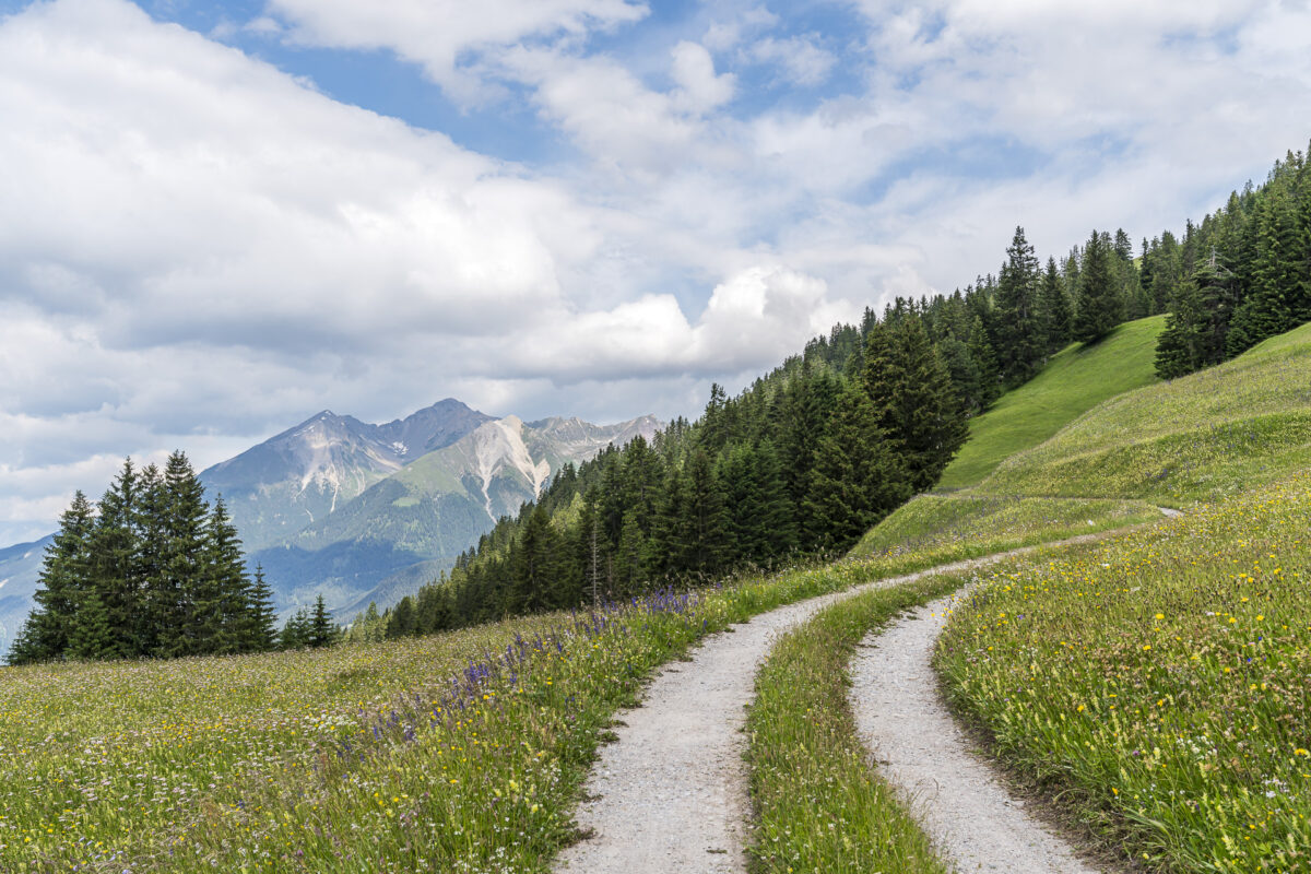
The Parc Ela Trek starts in Tiefencastel and leads from there over traditional alpine pastures to the secluded mountain world. Along the way, highlights such as the unique triple watershed of Europe on the Lunghin Pass, protected moorland on Alp Flix, or Europe’s highest year-round inhabited settlement, Juf, await.
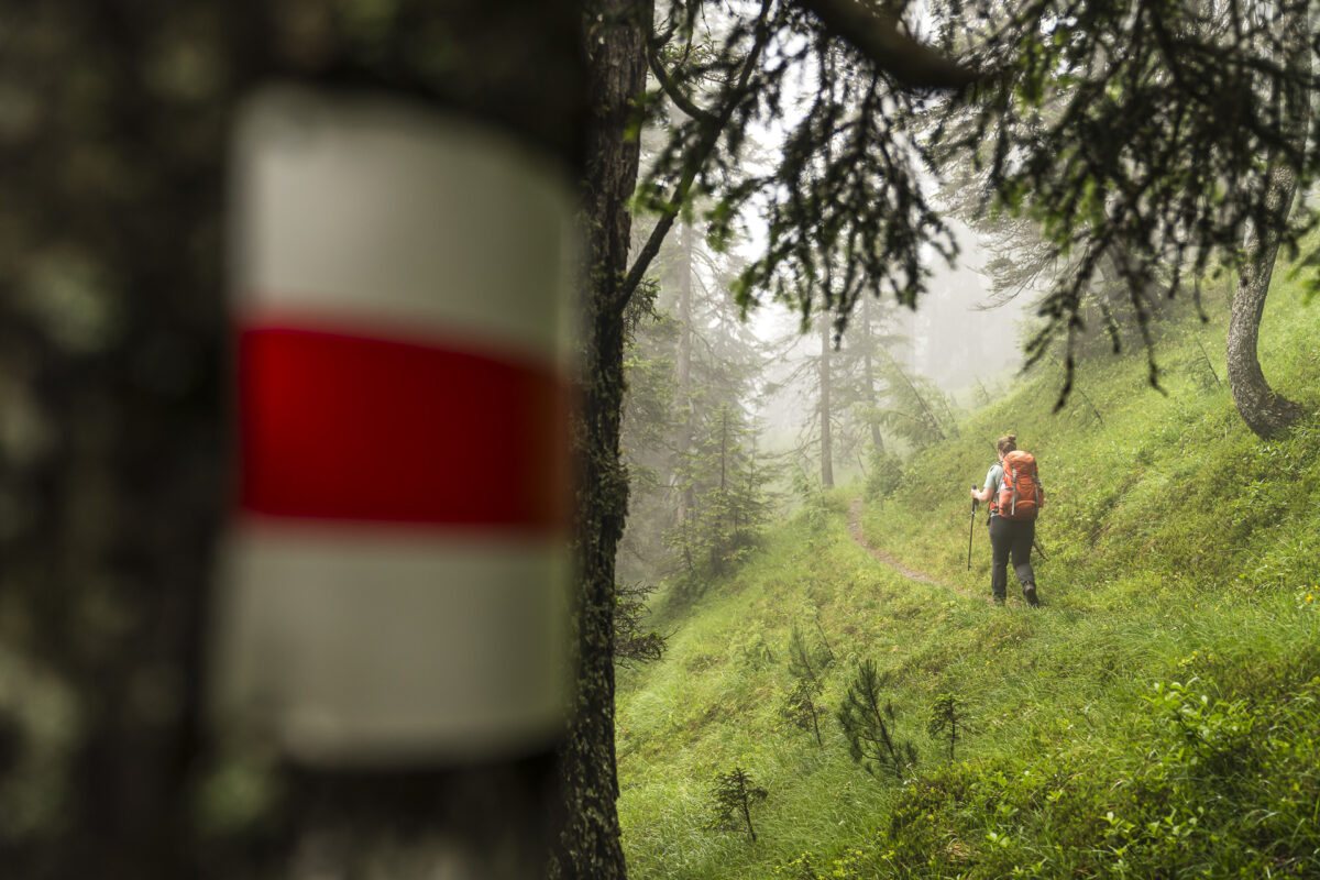
The long-distance trail follows existing mountain hiking paths and is not additionally signposted. A good overview of the individual daily stages and accommodations on the Parc Ela Trek can be found on the following linked websites. These are the three stages I describe in this post:
Stage 15: From Stugl/Stuls to Jenisberg (corresponds to the trek route) Stage 16: From Jenisberg to Matrüel (variation without Zügenschlucht) Stage 17: From Matrüel to Alvaneu (instead of crossing the pass to Lenzerheide, descending to Alvaneu)
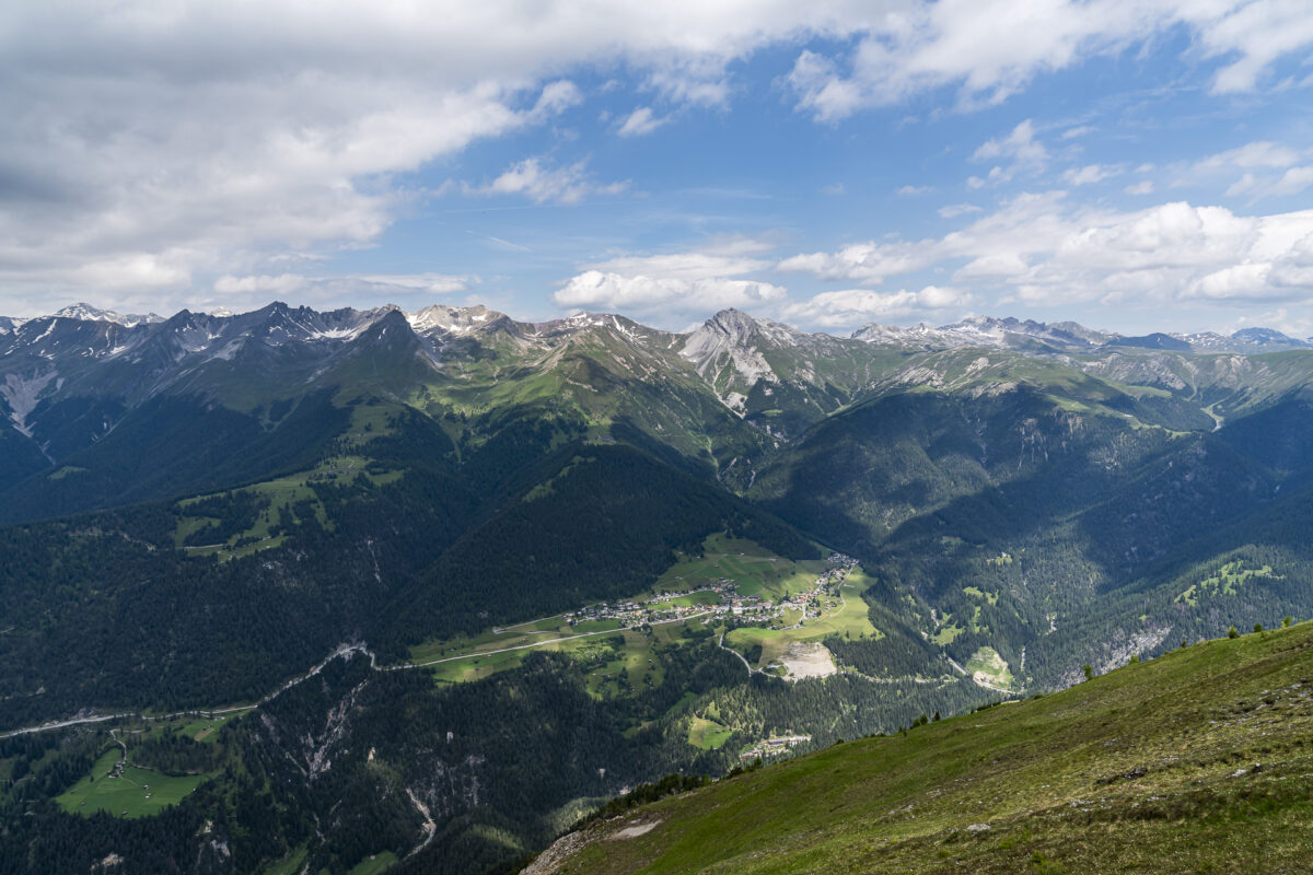
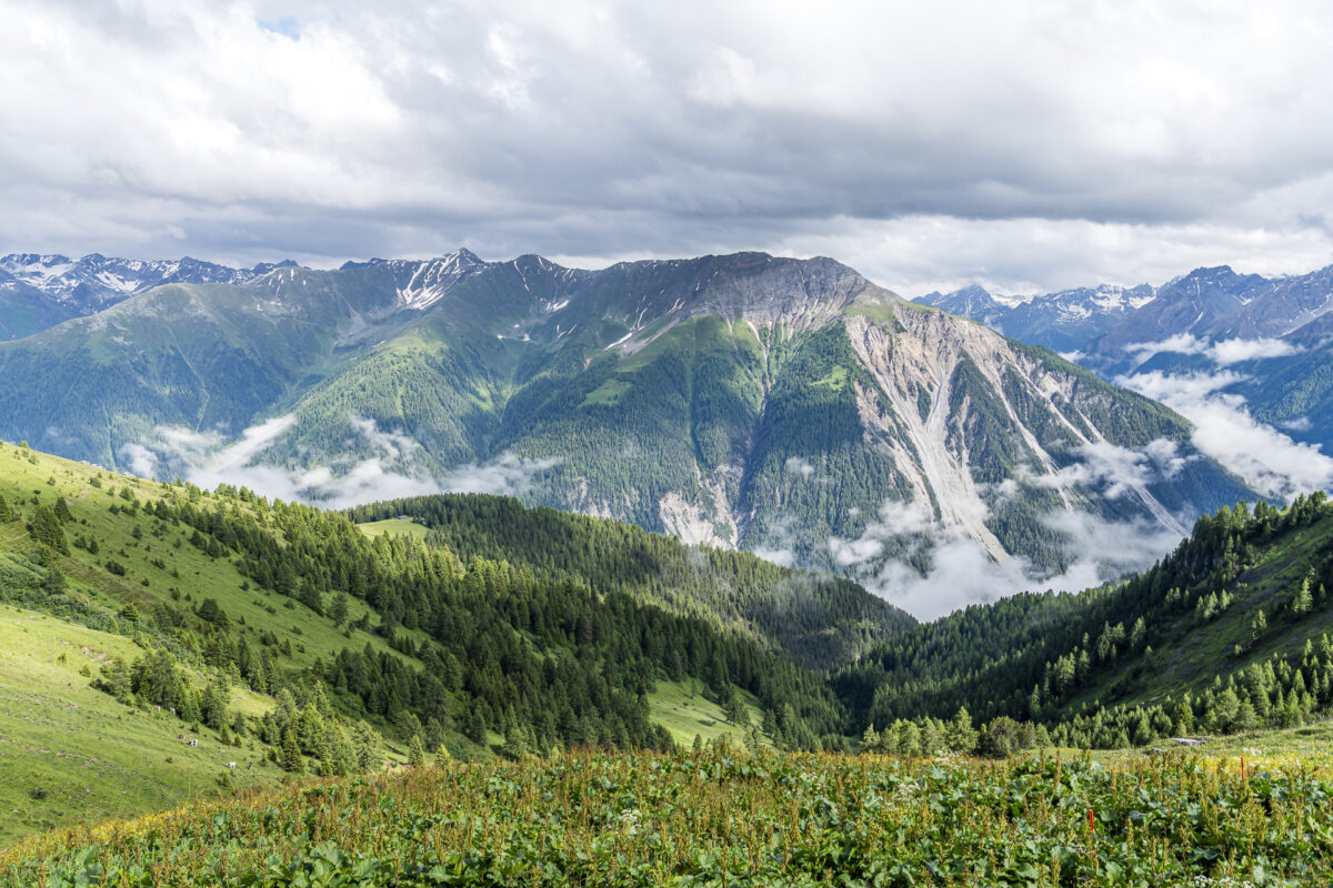
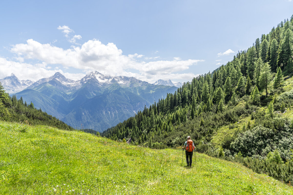
On the way, you not only get to enjoy the impressive Alpine panorama, including Piz Ela, but also gain insights into traditional alpine culture and meet many friendly people.
A New Favorite Spot in Stugl/Stuls
And it’s with one of these friendly encounters that I begin my hiking adventure on the Parc Ela Trek. Originally, I had reserved time for a 4-day hike starting in Sertig Sand. Last summer, I began the ascent towards Keschhütte (stage 13 of the Parc Ela Trek) there, and I wanted to pick up directly where I left off and follow stage 14 of the Parc Ela Trek over the Ducanfurgga to Stugl/Stuls. As part of responsible hike preparation, I checked the snow conditions a few days before the tour and decided to postpone this stage for another time.
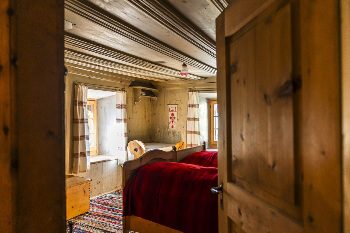
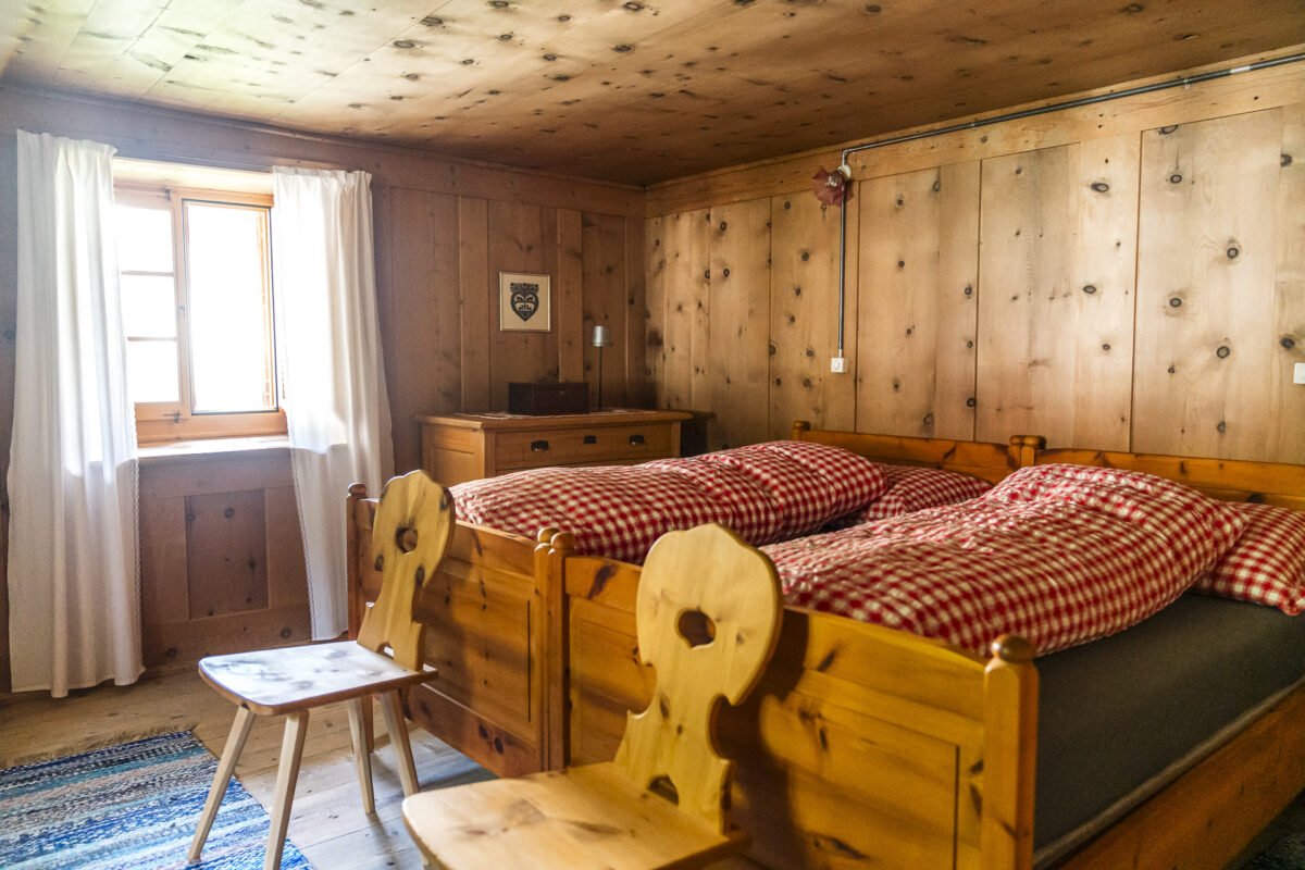
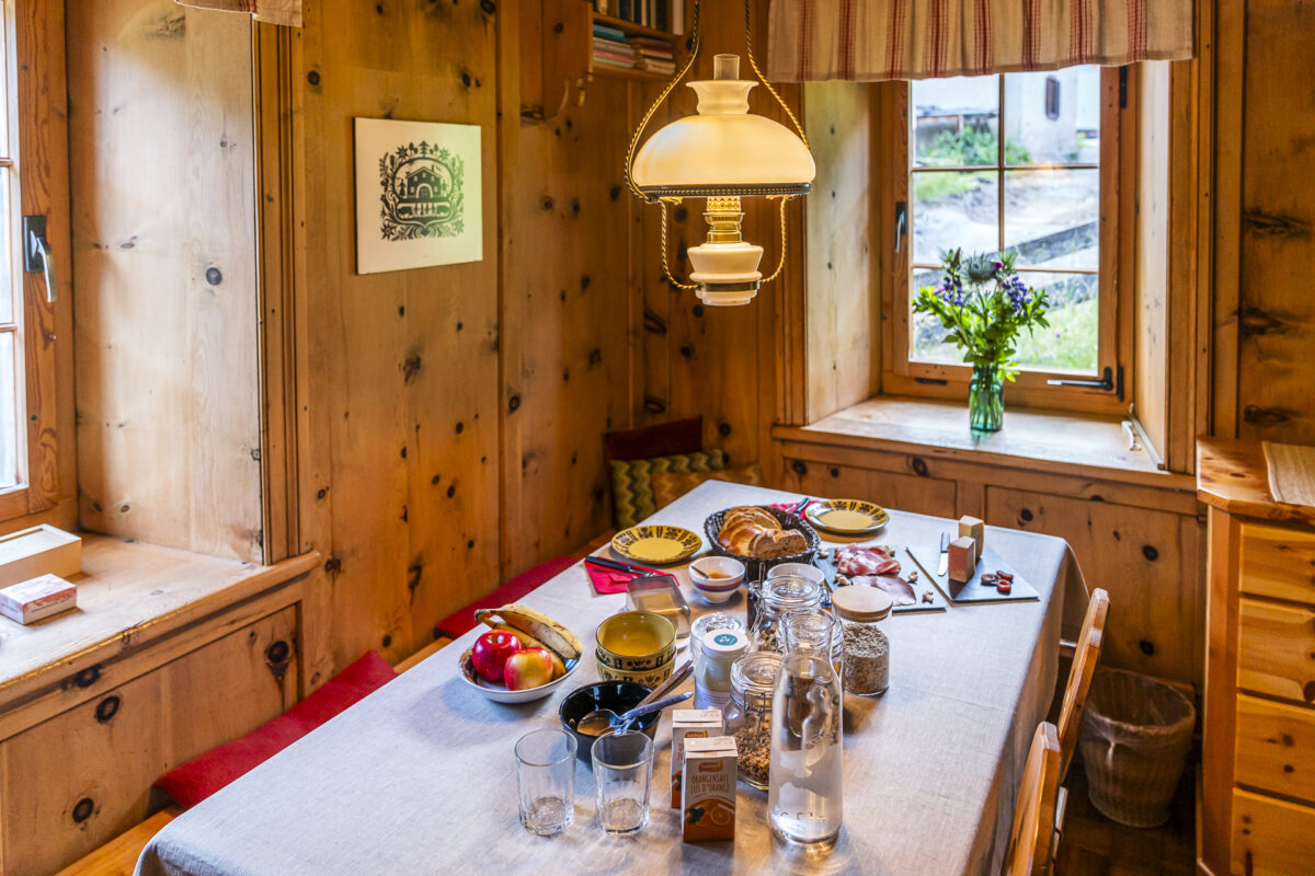
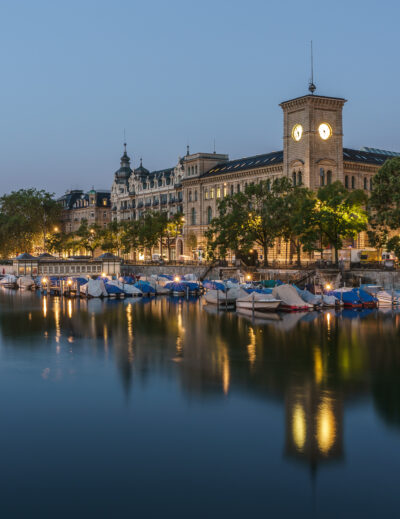
Instead, I took a direct train from Zurich to the overnight destination at the end of stage 14 in Stugl/Stuls. Here, I was greeted by Christine Stucki, the host of the Chesa sut Baselgia. The house, built in the Engadine style around the 17th century, is located directly below the church, nestled in the intact village center, on a sunny terrace high above the Albula Valley.
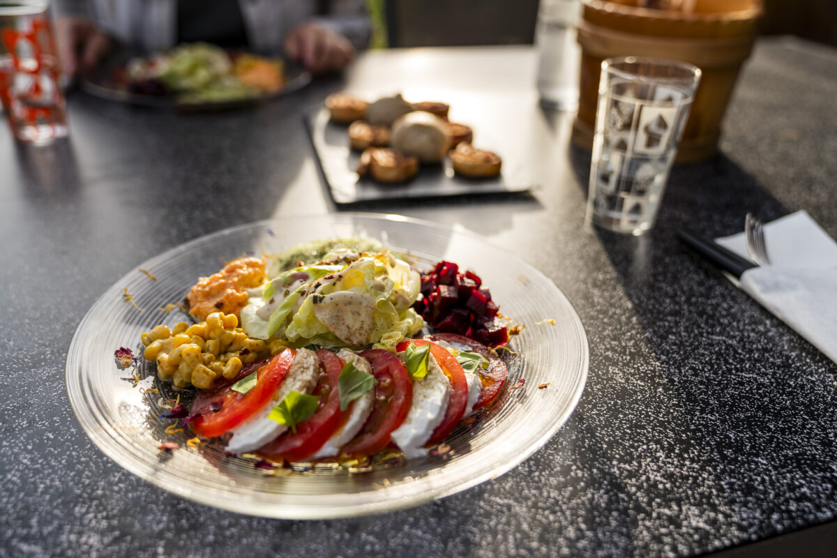
Christine showed me my room – a cozy double room with a shower and WC on the floor – and then took me to the idyllic garden. There, I spent the next few hours enjoying an apéro platter with local alpine products and a delicious three-course meal while taking in the magnificent view of the surrounding mountains. What a wonderful, relaxing place!
A recommended overnight spot not only for those exploring the Parc Ela Trek but also for anyone longing for a restful break in the mountains.
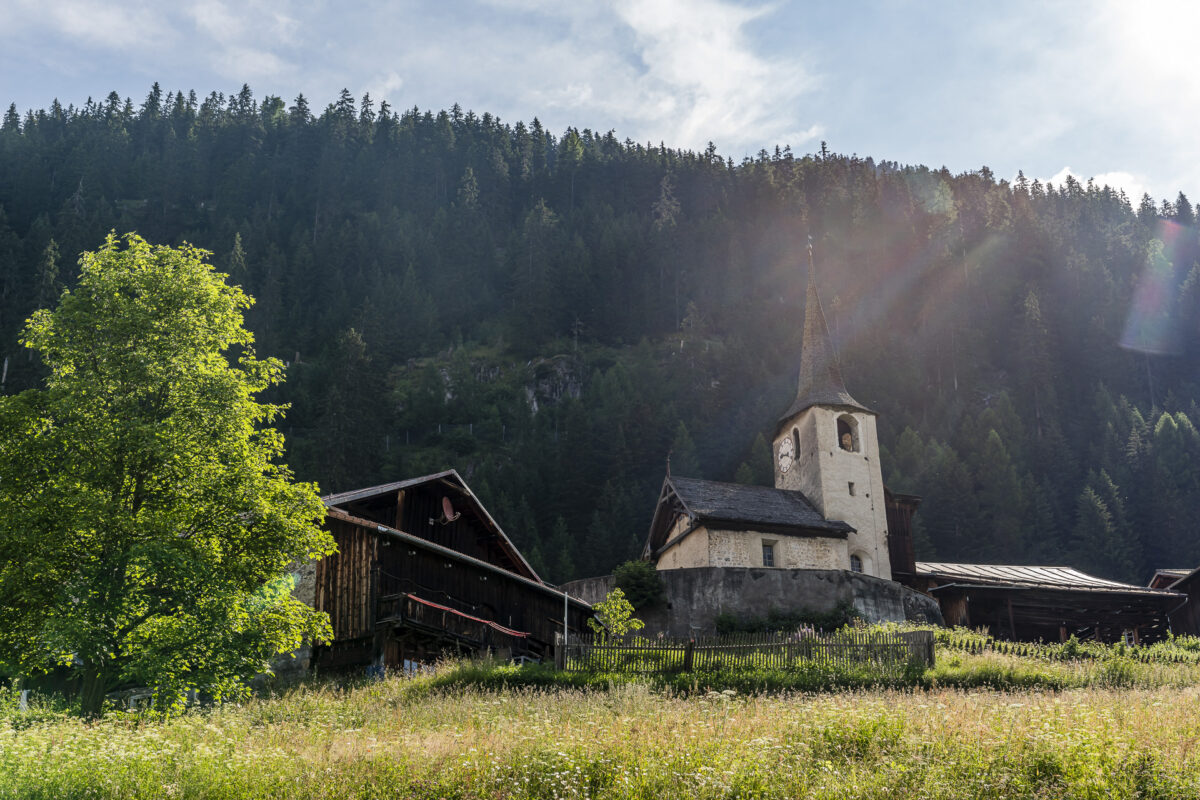

Extra tip: While passing through Stugl/Stuls, be sure to take a look inside the Romanesque church of St. John and admire the Gothic ceiling paintings.
First Hiking Day on the Parc Ela Trek: Heidi-Like Idyllic Scenes and Tricky Ravines
After a restful night followed by a fine breakfast at Chesa sut Baselgia, I can no longer keep my feet still. A last look back, and off I go.
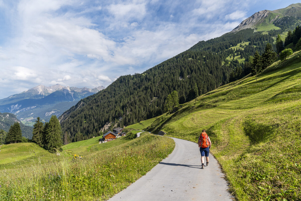
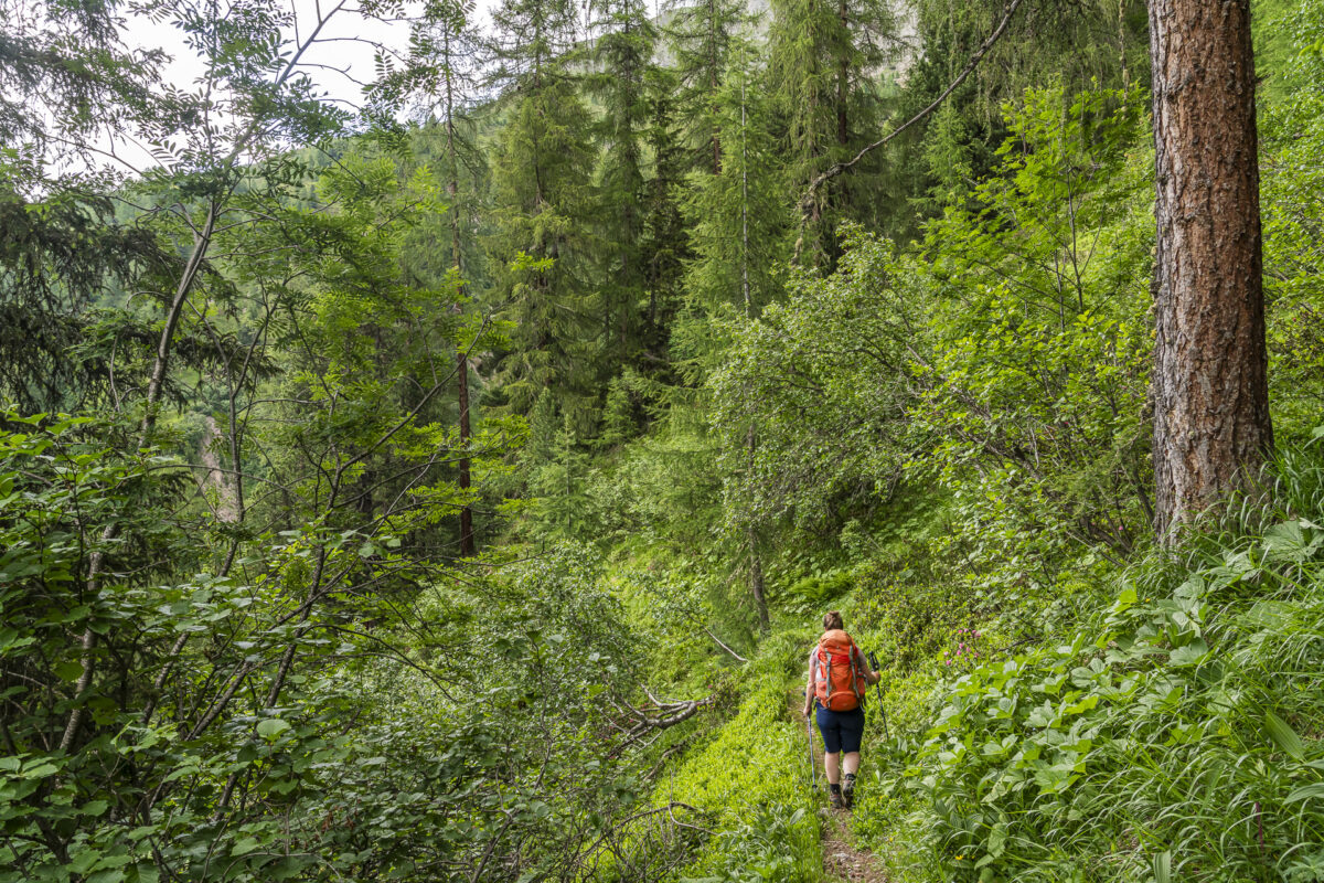
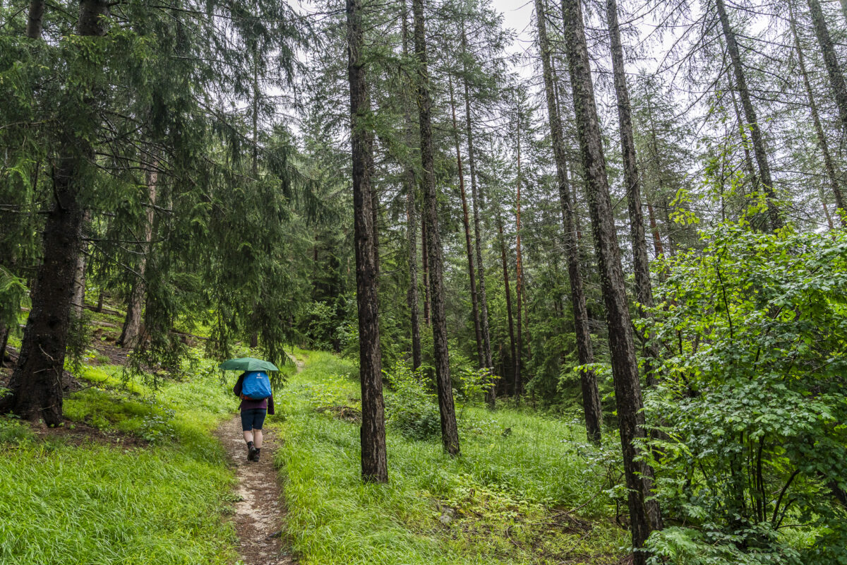
I follow the signpost towards Pnez. After a short warm-up along a paved road slightly downhill towards Ava da Stugl and crossing the ravine, the ascent begins. The rainy June has made the flora lush and vibrant. A highlight along the way is the orange-red fire lilies.
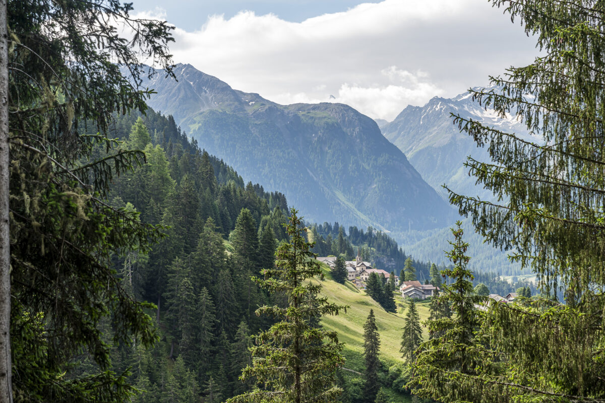
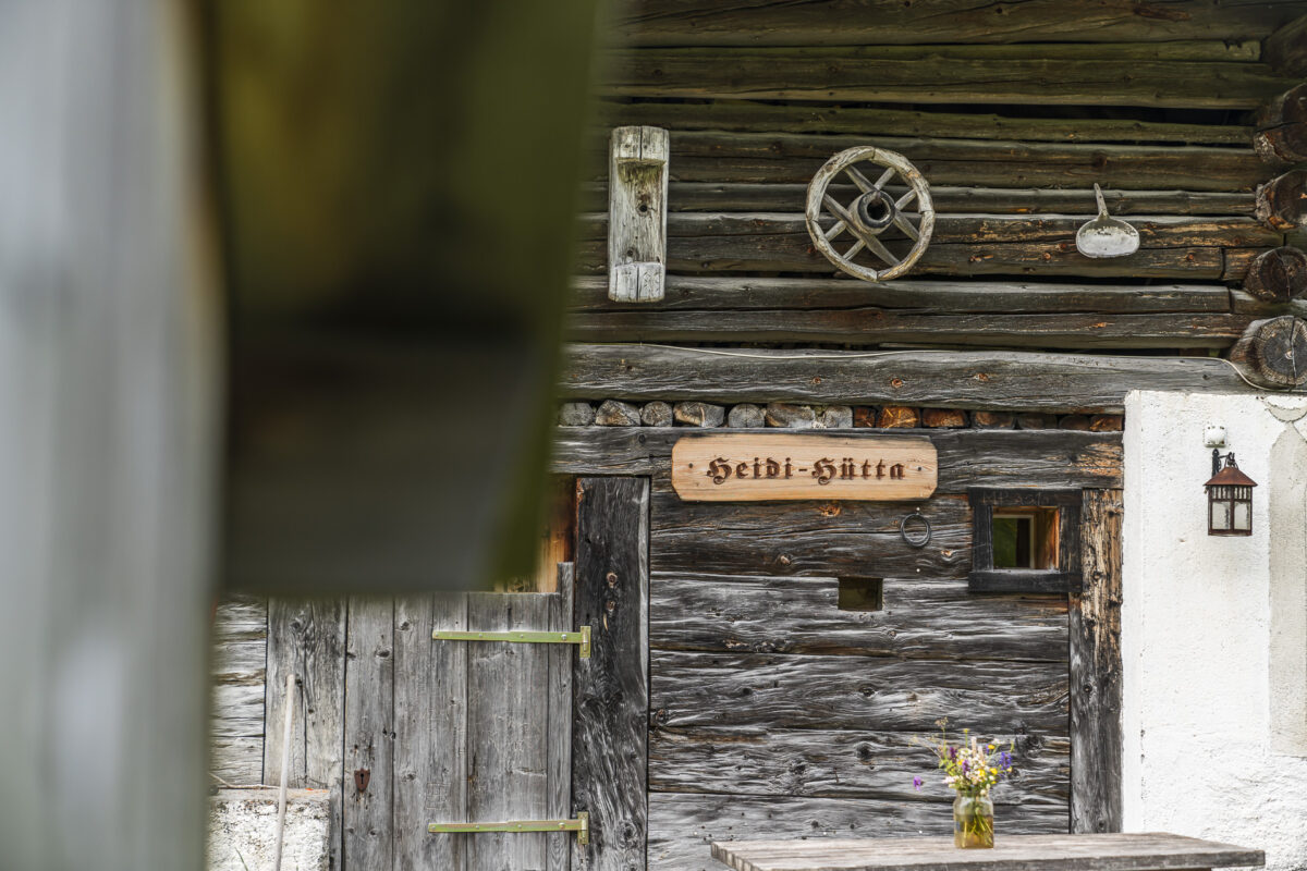
At Pnez, I take a short drink break and enjoy the picturesque postcard view of Stugl/Stuls. A little further up, in Falein, the hiking trail passes the original Heidi cabin from the first Swiss Heidi film (1952). Right in front of the alpine hut stands an alp kiosk with local products and cool drinks. 500 meters further on, there is also a public barbecue area.
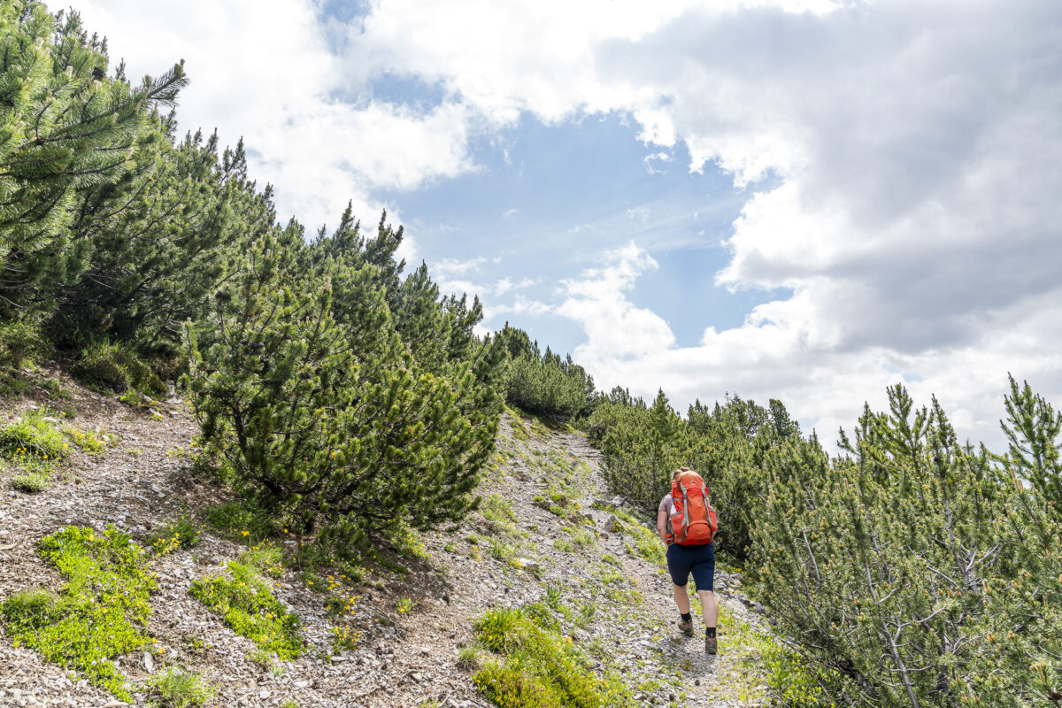
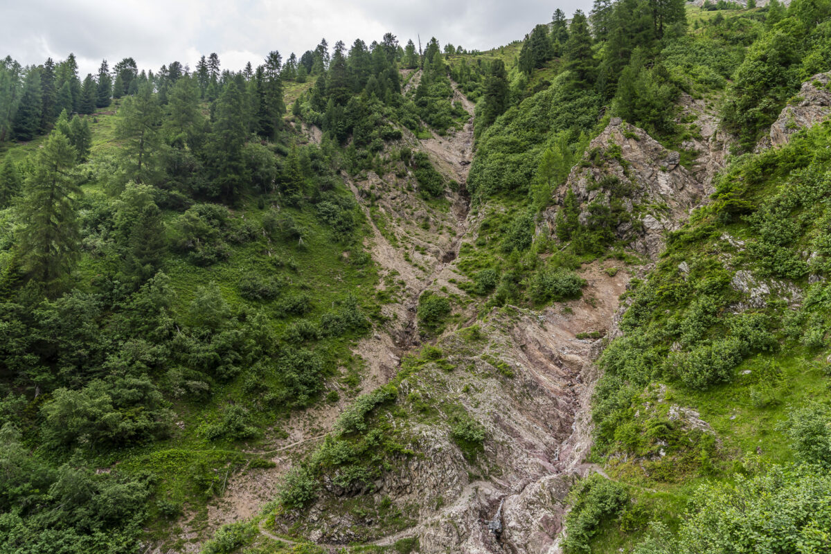
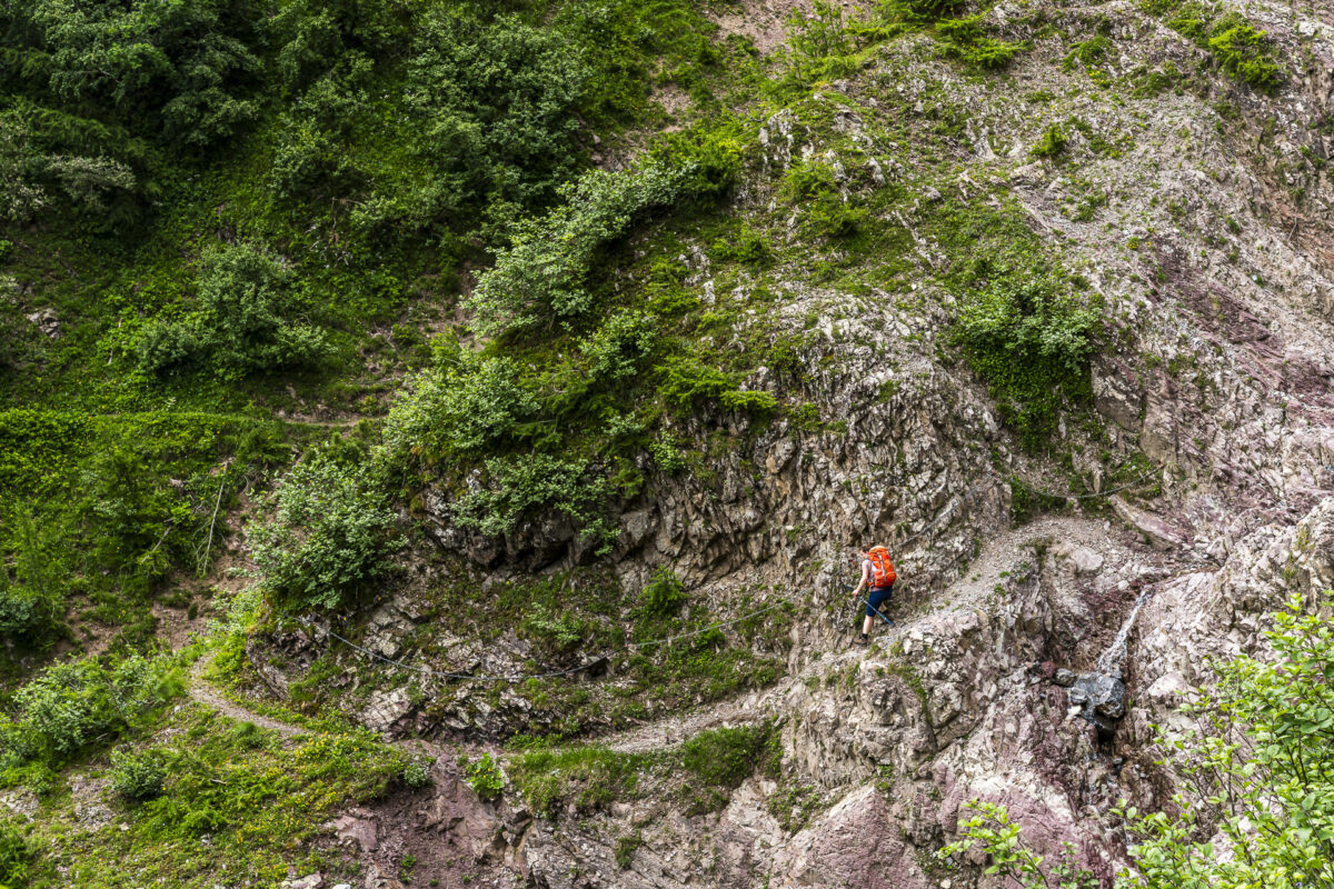
I don’t take a break here but continue hiking briskly to reach the stage’s end before the predicted rainstorm hits. Whether or not I’ll succeed remains uncertain at this point. First, there’s the steep ascent to the plateau above the impressive Breitrüfi, followed by crossing the Drostobel. It’s a demanding and fascinating terrain.
Christine Stucki had luckily warned me that the real challenge of this stage is not the ascent to Plan Grond but the descent to Jenisberger Alp. And she was right. The steep descent, which in some places is just a meter away from the Breitrüfi’s fracture zone, followed by the narrow, exposed path through the Drostobel, requires surefootedness and a head for heights. I’m relieved that the most difficult passages are secured with chains. The partially overgrown trail also suggests that it’s not heavily trafficked.
Key Details of the Stuls – Jenisberger Alp – Jenisberg Hike
| Starting Point | Bus stop Stugl/Stuls, Dorf (1,550 m a.s.l.) |
| Accessibility | Starting point directly accessible by public transport |
| Length | 12.9 kilometers |
| Elevation Gain | ↗ 988 m ↘ 1,032 m |
| Duration | 5:00 h |
| Destination | Jenisberg (1,503 m a.s.l.) |
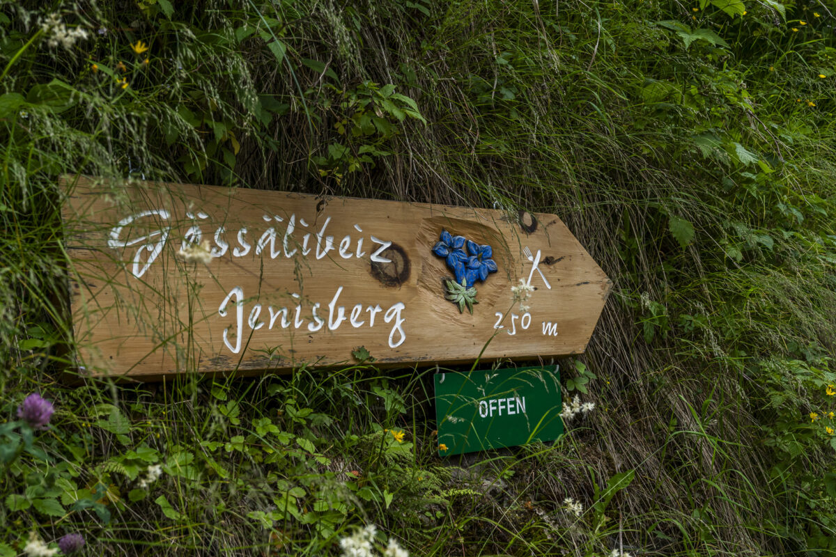
| Refreshments | Gässälibeiz Jenisberg (at the destination) |
Cozy Stopover at the Stage Destination of Jenisberg
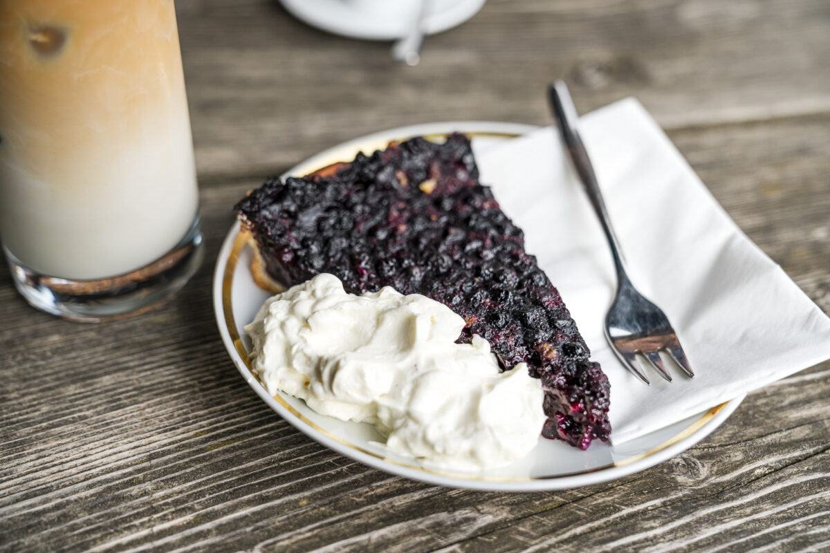
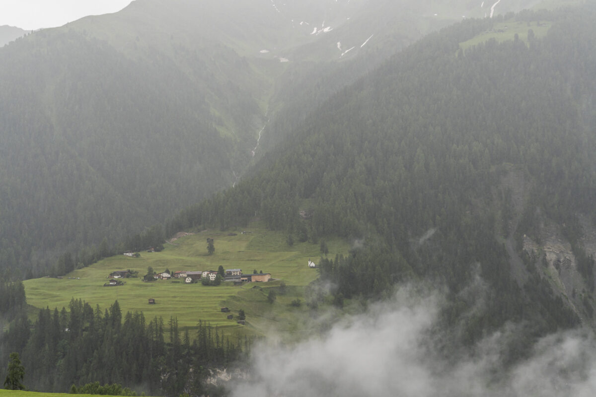
I reach the small village of Jenisberg high above the Landwasser Valley as hoped, before the rain front. First, I treat myself to a delicious blueberry cake and a refreshing iced coffee at the friendly Gässälibeiz. Crossing the Drostobel, as Christine had predicted, made me sweat more than the ascent to Plan Grond.
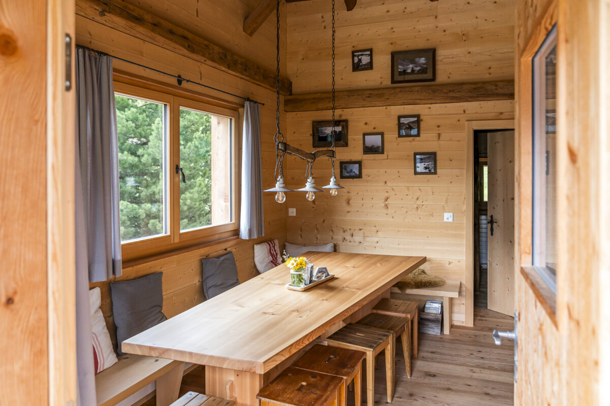
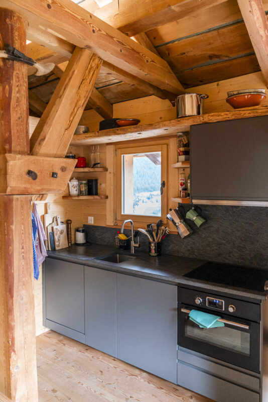
Then Adrian and Magdalena from the Angushof across the way show me my sleeping place in the “Säggässähenki.” The overnight accommodation at the Jenisberg stage destination was created as part of the Parc Ela Trek concept. It includes twelve sleeping places, divided into two rooms, a common room with a kitchenette, two toilets, and a shower. Really nice and cozy!
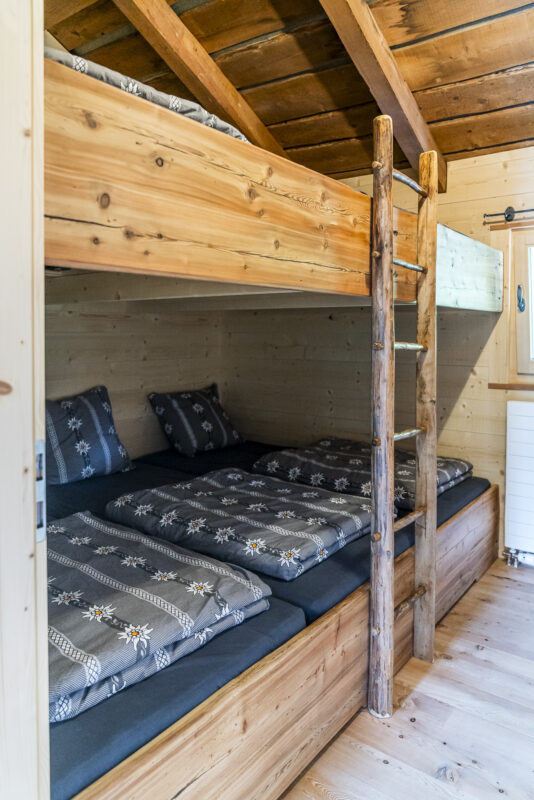
Extra tip: During the winter months, the Säggässähenki can also be rented as a holiday apartment for several days. Note that Jenisberg is not directly accessible by public transport. From Davos Wiesen train station, you can reach Jenisberg in about 45 to 60 minutes on foot via a marked hiking trail. The road leading up from Davos Wiesen is narrow and steep and can be snow-covered in winter.
Second Hiking Day on the Parc Ela Trek: A Wet Start with a Pleasant Ending
Then what was forecast comes true. A rainy day! Yet, the destination of the second hiking day doesn’t seem that far away. Directly across from Jenisberg lies Davos Wiesen – from there, the ascent to Wiesner Alp is a piece of cake. But in between, the Zügenschlucht has to be crossed.
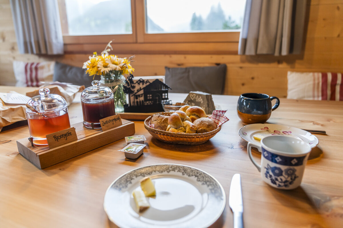
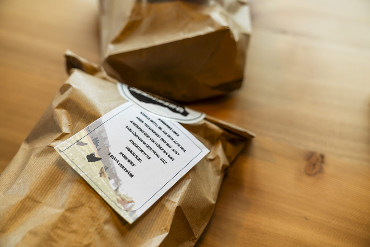
The hiking section through the impressive, Landwasser-shaped gorge landscape between Wiesen and Davos would be another scenic highlight of the Parc Ela Trek – but not in continuous rain. So I take my time this morning and enjoy a leisurely breakfast. Adrian and Magdalena left fresh bread rolls outside my door early in the morning along with the packed lunch. The “Säggässähenki” fridge contains all the other “essentials” for a typical Swiss mountain breakfast.
At some point, I can no longer delay the start. I decide to follow the paved road where possible and take the most direct route from Jenisberg to Wiesen. Whether on a paved road or a hiking trail, both cross the Zügenschlucht at the height of Davos Wiesen Station, where the Zügä-Beizli is located. A welcome stopover – not just in the rain.
After an extended coffee break, I have no choice but to face the rain sooner or later. But that’s part of a long-distance hike, too.
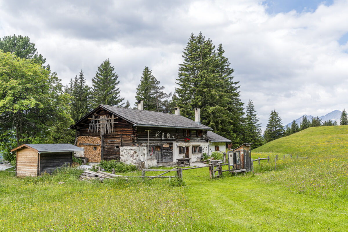
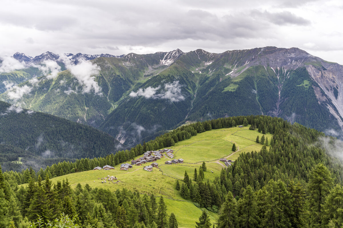
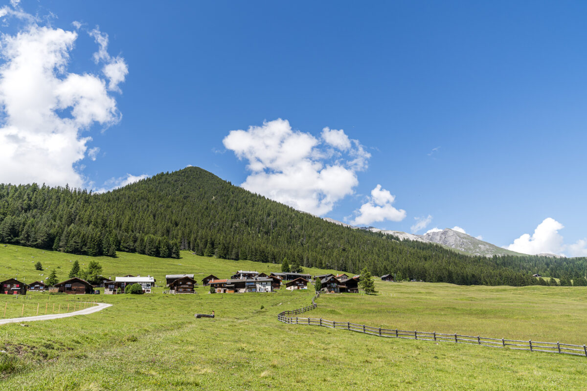
And then – just when I had almost given up hope – the rain front finally clears as I arrive at Wiesner Alp. The settlement, consisting of about 40 alpine huts, is one of the most important alpine settlements in Graubünden and seems to me the perfect place to finally unpack the packed lunch with fine regional products.
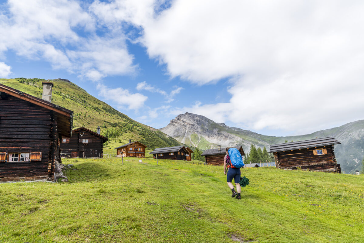
From Wiesner Alp, it’s another good 45 minutes to the end of stage 16; The former upper alpine pasture of Wiesner Alp – the Sennhütte Matrüel in an enviably scenic location in the middle of Parc Ela.
Key Details of the Jenisberg – Davos Wiesen – Wiesner Alp – Matrüel Hike
| Starting Point | Jenisberg (1,503 m a.s.l.) |
| Accessibility | Reachable on foot from Davos Wiesen station in about 45 to 60 minutes |
| Length | 11.6 kilometers |
| Elevation Gain | ↗ 1,058 m ↘ 383 m |
| Duration | 4:15 h |
| Destination | Matrüel (2,178 m a.s.l.) |
| Refreshments | Zügä Beizli (at Davos Wiesen station) and Sonnhalde Hotel & Restaurant |
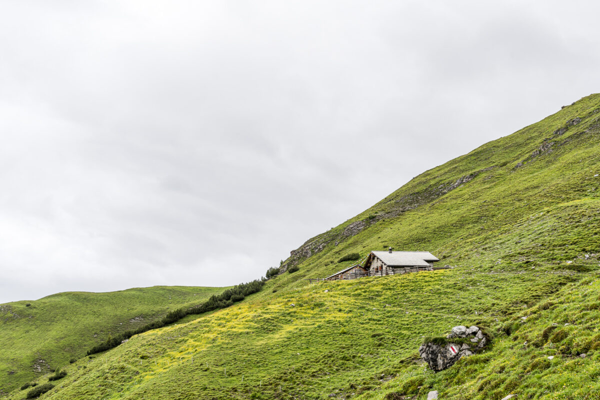
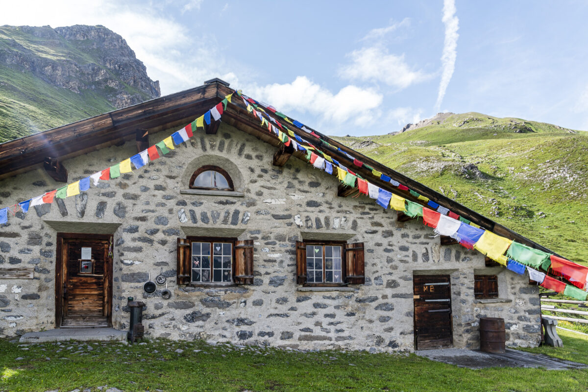
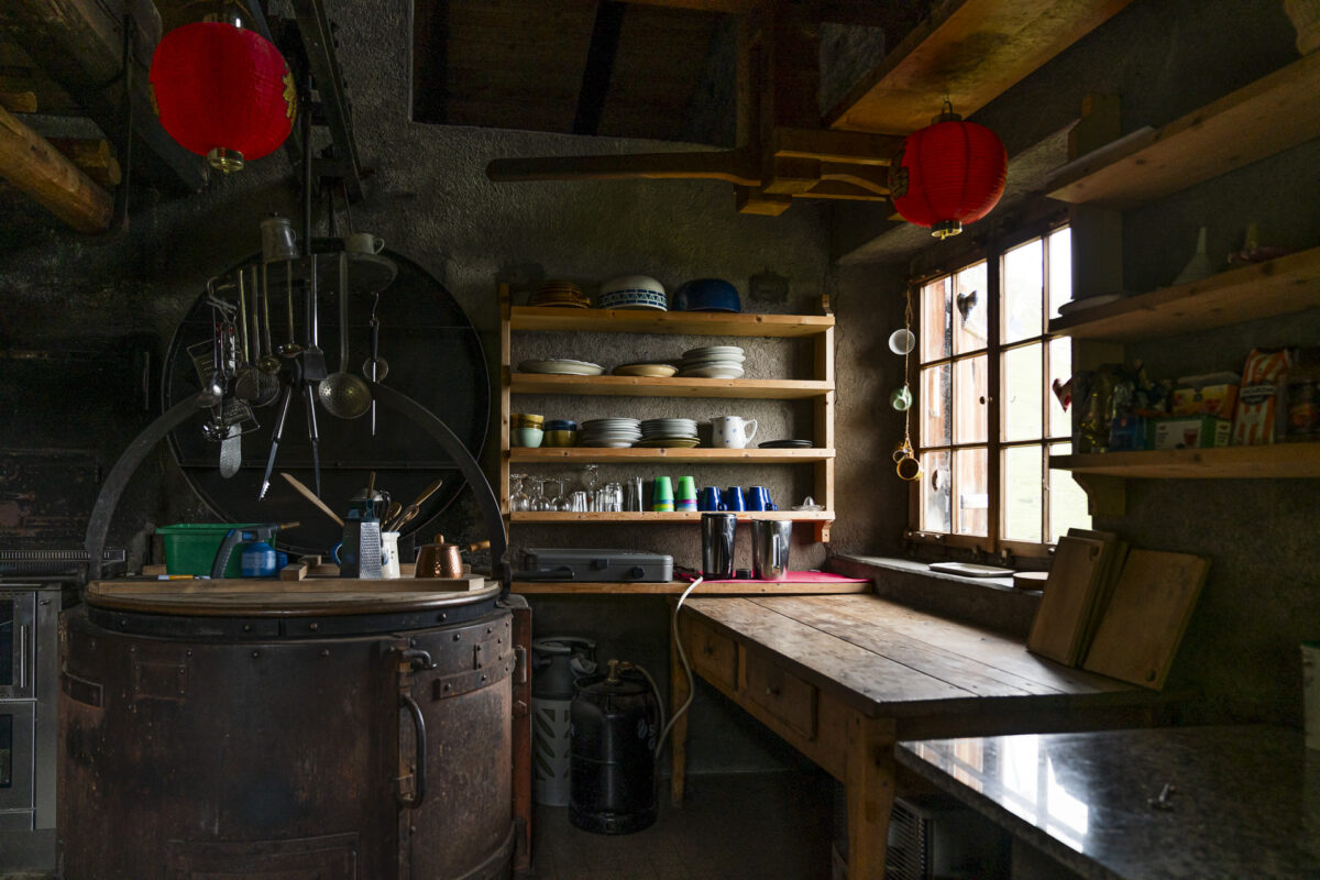
Overnight Stay in the Matrüel Mountain Hut
Since the late 1990s, cheese has no longer been produced here. Since then, Matrüel has served as an unstaffed self-catering hut. There is a simple dormitory with wool blankets and a wood stove (including utensils). Outside the hut, there is an outhouse and a fountain with running water. Food must be carried up.

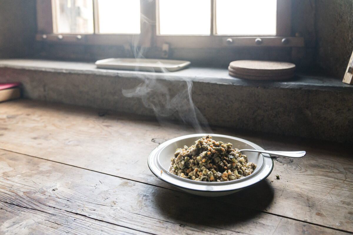
I use this opportunity to try the freeze-dried trekking provisions from Vitto, made from regional ingredients from Parc Ela and Bergell. The lightweight meals are free from additional preservatives or flavor enhancers, are packed in biodegradable pouches, and do not require refrigeration – a sustainable and worthwhile alternative to industrial mass production. Since I met the founder of Vitto personally in another context, I’ve been familiar with their innovative products for some time. The current range of trekking provisions includes a barley stew, buckwheat pasta, and two porridge varieties, which can be conveniently ordered online from the Vitto Manufaktur.
My verdict is entirely positive: Both the pasta and the porridge are quick and easy to prepare, tasty, and very nutritious.

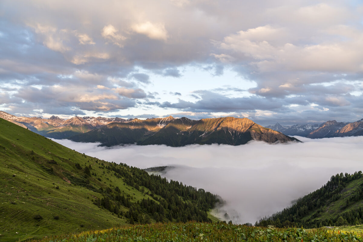
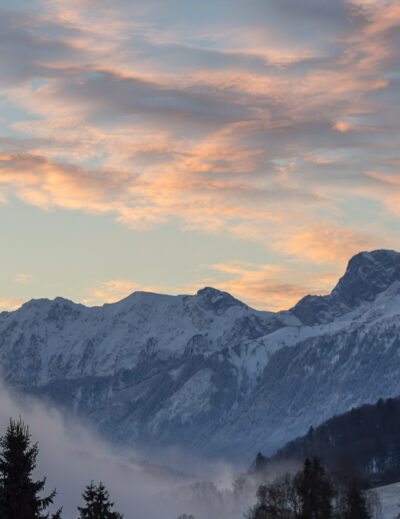
The peace, seclusion, and simplicity up here, along with the beautiful sunset, provide a soothing end to this rather challenging day of hiking. But it’s moments like these that make the hike on the Parc Ela Trek an unforgettable experience.
Extra tip: Except for really hot summer days, it’s advisable to bring a “real” sleeping bag, as it can get cold in the sleeping area at night.
Third Hiking Day on the Parc Ela Trek: Solitary Paths and Sensible Decisions
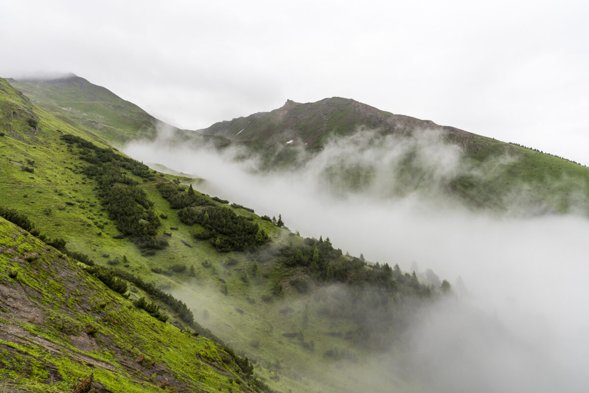
The day before, the prospect of the forecasted beautiful weather for the third hiking day had motivated me to push through the rain to Matrüel. However, the anticipated magnificent morning atmosphere doesn’t materialize. Mist hangs on the mountainsides in the early morning, and the ground is soaked.
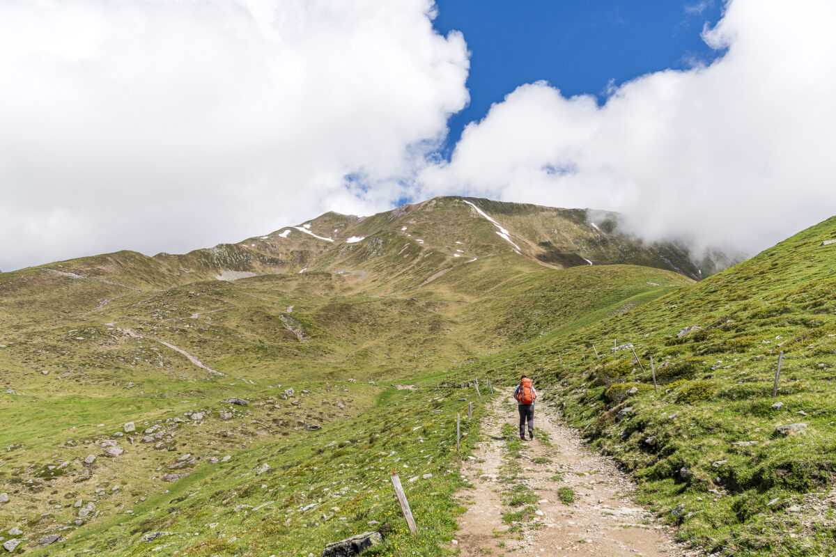
This should be interesting, I think, as I slip into my still-wet shoes from the previous day. The last stage of the Parc Ela Trek, at almost 20 kilometers with an ascent of 1,060 meters, is one of the longest and most physically demanding. I’m also unsure of the condition of the pass crossing towards Lenzerheide. The only thing I’ve found out is that the crossing in the opposite direction to Arosa via Welschtobel is mostly snow-free. As such, I’m undecided whether to tackle the long ascent or to descend directly to Alvaneu instead.
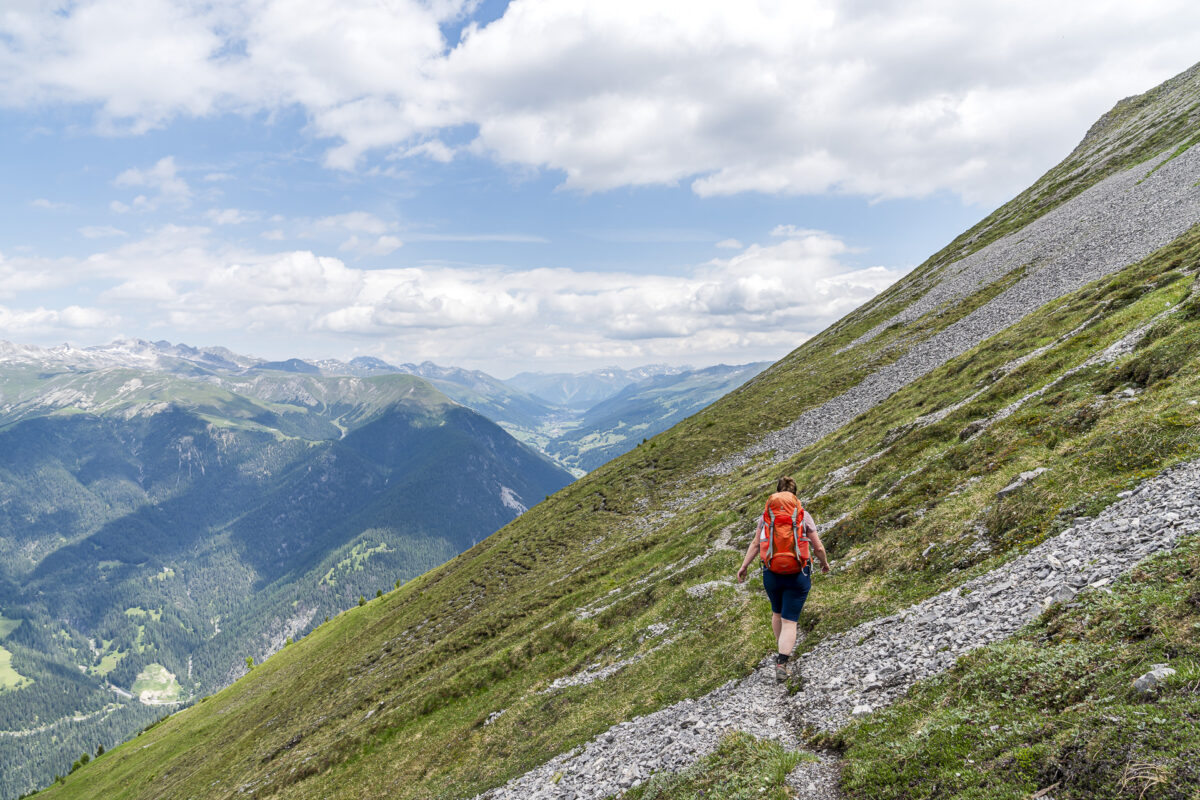
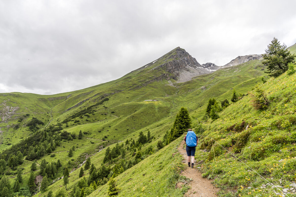
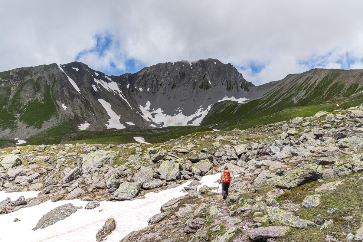
But first, I have to make sure not to stray from the route along the high trail over Schmittner Alp, Zaplina, and Ragleuna. The section from Matrüel to Schmittner Alp requires full concentration. At the junction at waypoint 1893, I decide to aim for Lenzerheide; but via Alp Creusch on the direct route rather than following stage 17 of the Parc Ela Trek over Aclas Dafora. This saves me about 250 meters of elevation gain.
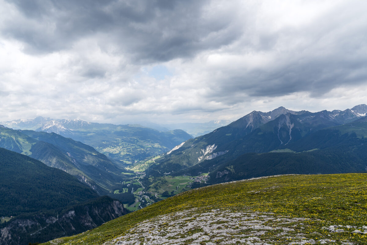
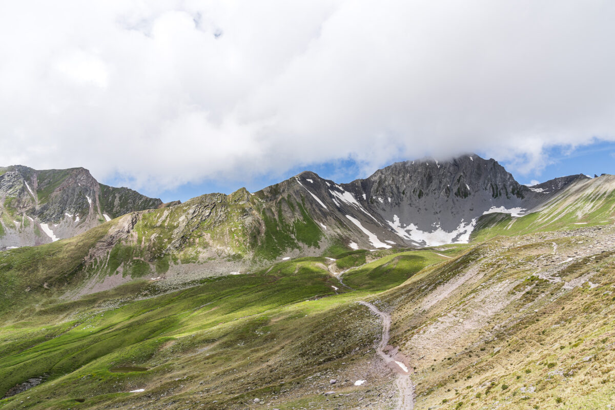
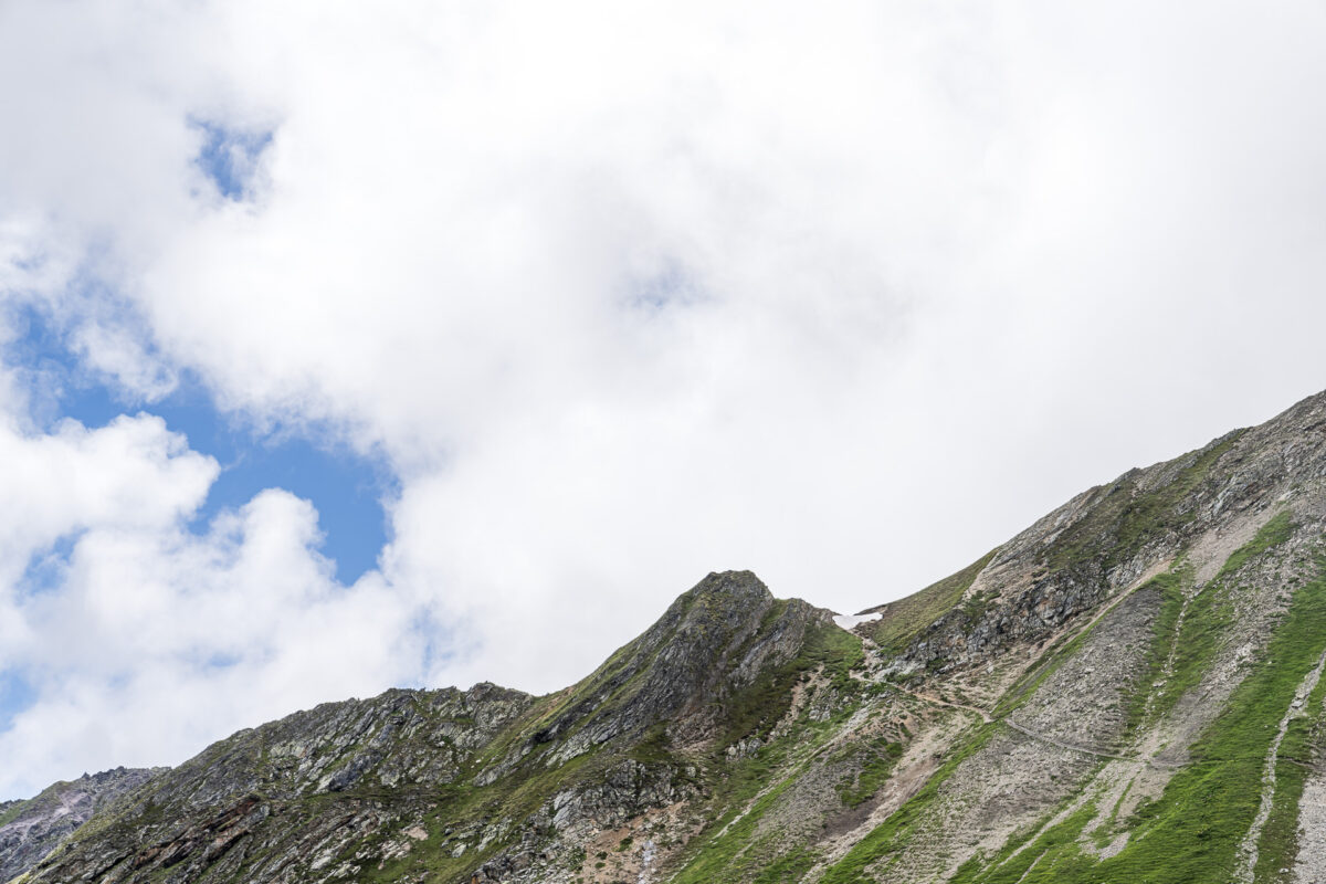
The following two-hour ascent to the end of Val digl Guert goes quickly. But from a distance, I can already see that there are still large snowfields on the northeast flank of Pizza Naira, where the trail leads to Culmet. About 50 meters below Culmet, the combination of rain-soaked, slippery scree slopes and the snowfields still to be crossed in the steep sections definitely feels too risky, so I decide to turn back.
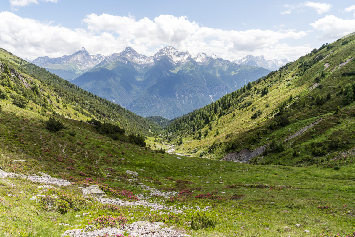
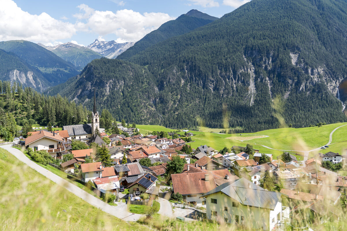
Instead of descending the remaining seven kilometers to Lenzerheide, the destination of the 17th and final stage of the Parc Ela Trek, I follow the stream through Val digl Guert to Alvaneu. It’s a scenic route – at least until Aclas Dafora. The last four kilometers to the village center of Alvaneu mainly follow paved roads and feel long.
Happy and Accomplished
After three intense days of hiking, I’m exhausted but also proud of my accomplishment. This includes the sensible decision to adapt the route to the conditions. And otherwise? Yes, the Parc Ela Trek definitely lived up to its promise. Not only in terms of varied mountain hiking trails. On the third day of hiking, I didn’t encounter another person along the entire 20-kilometer route.
A hot tip for anyone looking for a multi-day hike that combines natural and cultural landscapes in alpine heights away from the well-trodden paths. The Parc Ela Trek offers just that! It’s quite possible that I’ll take on more stages next summer.
Key Details of the Matrüel – Furcletta – Aclas Dafora – Alvaneu Hike
| Starting Point | Matrüel (2,178 m a.s.l.) |
| Accessibility | Destination accessible by public transport |
| Length | 20.2 kilometers |
| Elevation Gain | ↗ 853 m ↘ 1,849 m |
| Duration | 6:45 h |
| Destination | Alvaneu Dorf, Dorfplatz (1,181 m a.s.l.) |
| Refreshments | None (there is a Volg in Alvaneu) |
Practical Tips for Your Hike on the Parc Ela Trek
-
- Due to the elevations on the Parc Ela Trek (over 2,000 m a.s.l. on every stage, with several stages having pass crossings over 2,600 m a.s.l.), parts of the trail may be snow-covered until July. I recommend the period between mid-July and early October for a multi-day hike.
-
- The Parc Ela Trek mostly follows mountain hiking trails (difficulty T2/T3). From a physical perspective, it’s a medium to difficult route.
-
- Accommodations at Chesa sut Baselgia and Säggässähenki can be easily booked via the SAC’s online booking tool (integrated on the website).
-
- An overnight stay with half-board for adults costs 100 CHF at Chesa sut Baselgia (plus 3 CHF tourist tax). Current pricing information can be found here: Chesa sut Baselgia
-
- At Säggässähenki, an overnight stay costs 45 CHF. Meal options (breakfast, dinner, and a packed lunch) can be added. Current pricing information can be found here: Säggässähenki
-
- Don’t forget to pack a silk sleeping bag. If you do forget or don’t have one, you can rent one for an additional fee at the accommodations.
-
- When planning an overnight stay at Matrüel, you must contact the hut owner in advance. Note that it’s a self-catering hut with no running water inside (there is a fountain outside). Further information and contact details can be found here: Matrüel
-
- Vitto Manufaktur’s trekking food can be ordered online here (free delivery for orders over 150 CHF).
-
- Further accommodation and dining tips can be found in the official route description.
Leave a Reply