

On the Butterfly Trail Lungern from Kaiserstuhl to Turren
On the sun-exposed slopes above Lake Lungern in the canton of Obwalden lies one of Switzerland’s most species-rich butterfly areas. The Lungern Butterfly Trail runs right through the middle. On this hike, you can spot not only over 100 butterfly species but also enjoy impressive views of Central Switzerland’s peaks from Pilatus to Rigi, as well as the glaciers of the Bernese Alps.
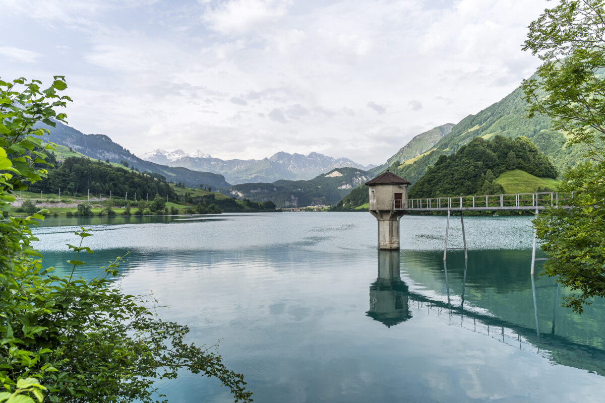
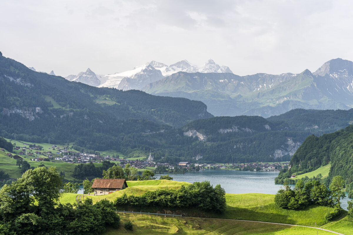
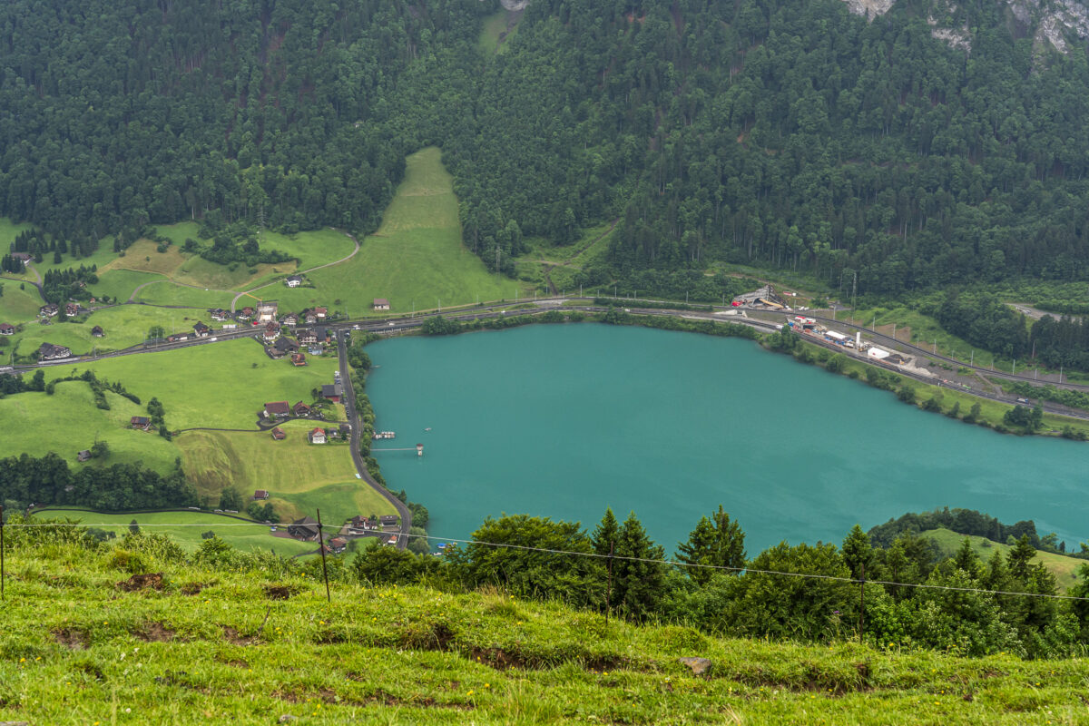
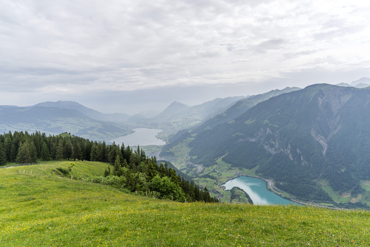
Idyllic Morning Atmosphere at Lake Lungern
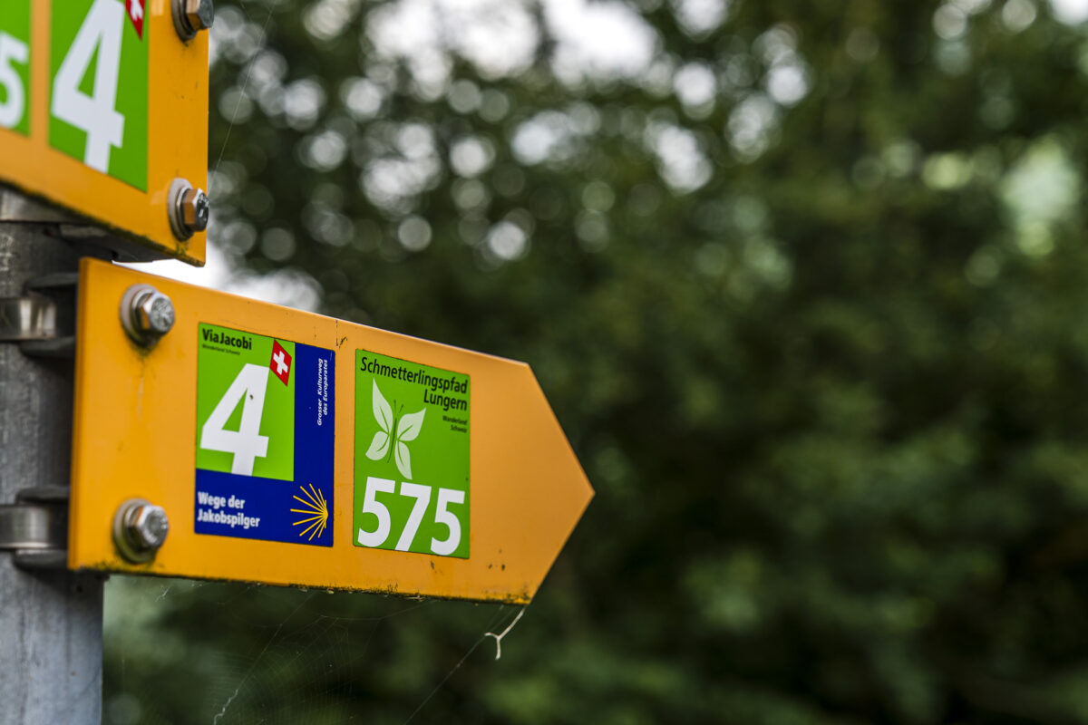
The Lungern Butterfly Trail, marked with route number 575, officially starts at the Turren mountain station high above the emerald-green Lake Lungern and leads downhill to Kaiserstuhl. We opted for the reverse version – for two reasons: the ascent of just over 1,000 meters in elevation on mostly easy forest and meadow paths is ideal for elevation training. And since the first cable car ride from Lungern to Turren isn’t available until 08:20, starting the hike from Kaiserstuhl allows early birds like us to begin much earlier – perfect for staying one step ahead of the summer heat.
So, just before 7:45 a.m., we set off from Kaiserstuhl station. Directly opposite the station is the Hotel Kaiserstuhl, a good spot to grab a coffee to start the day. We’d already had ours «on the go» on the train, so we headed straight along the lakeside path toward the hamlet of Bürglen.
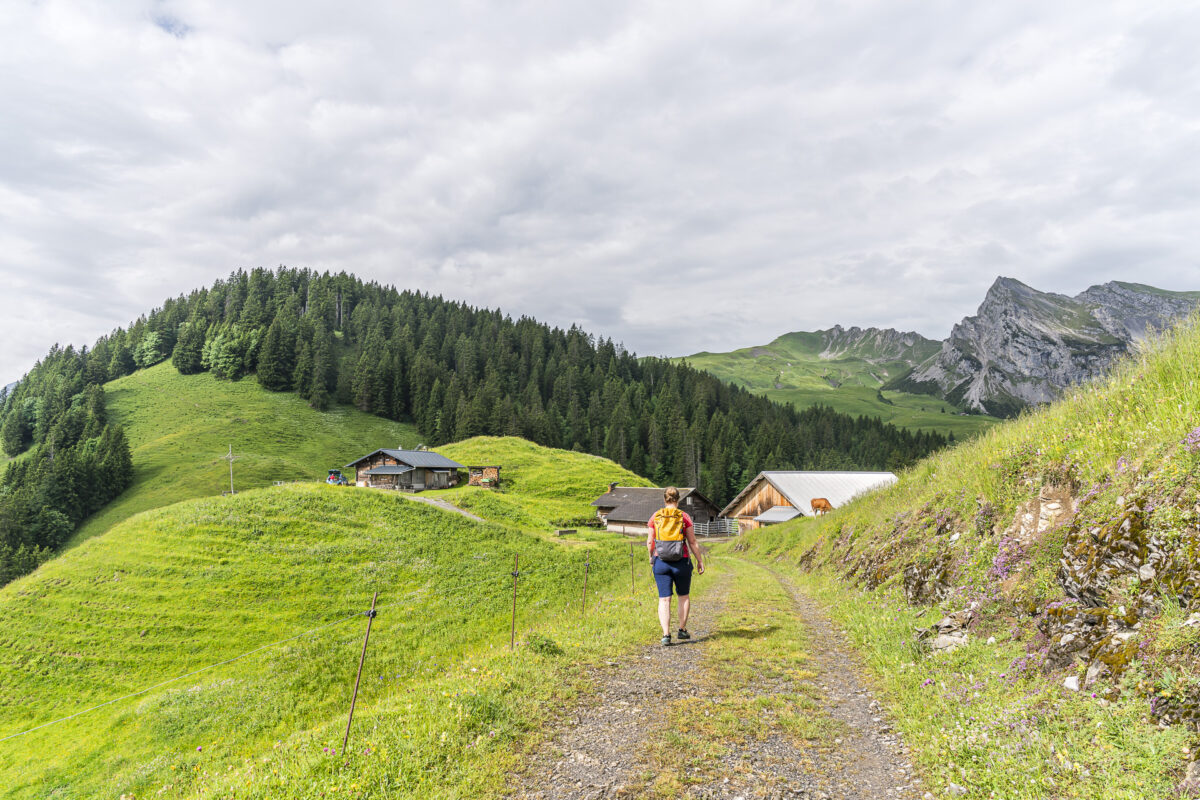
On the Butterfly Trail Through Dry Meadows Toward Ankenhubel
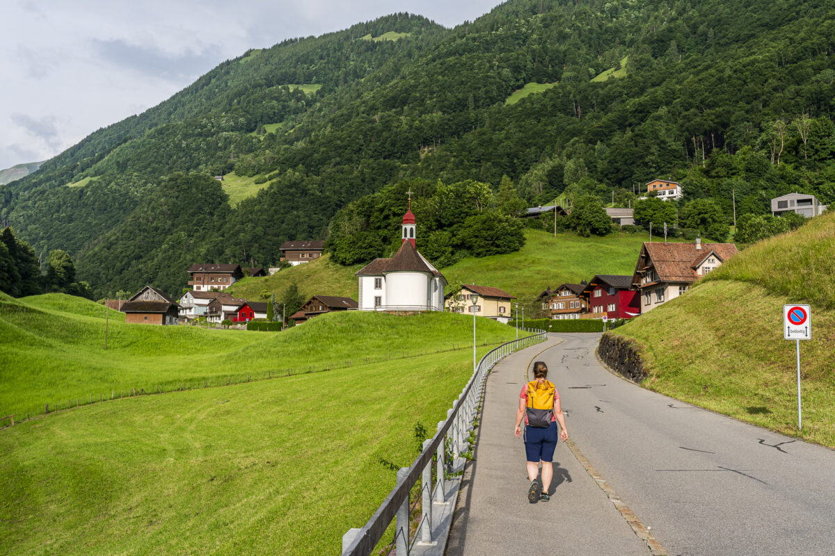
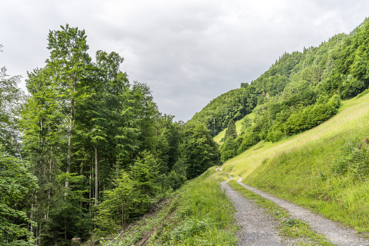
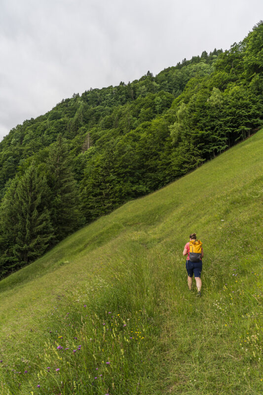
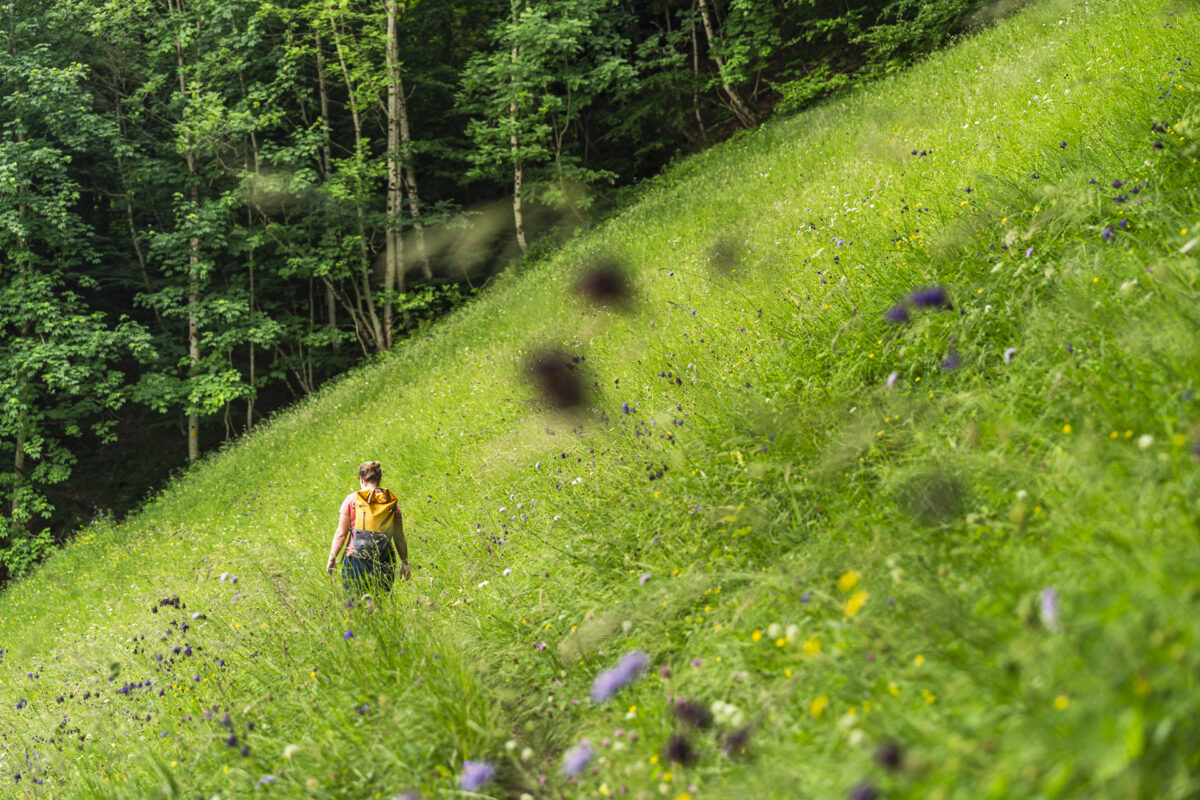
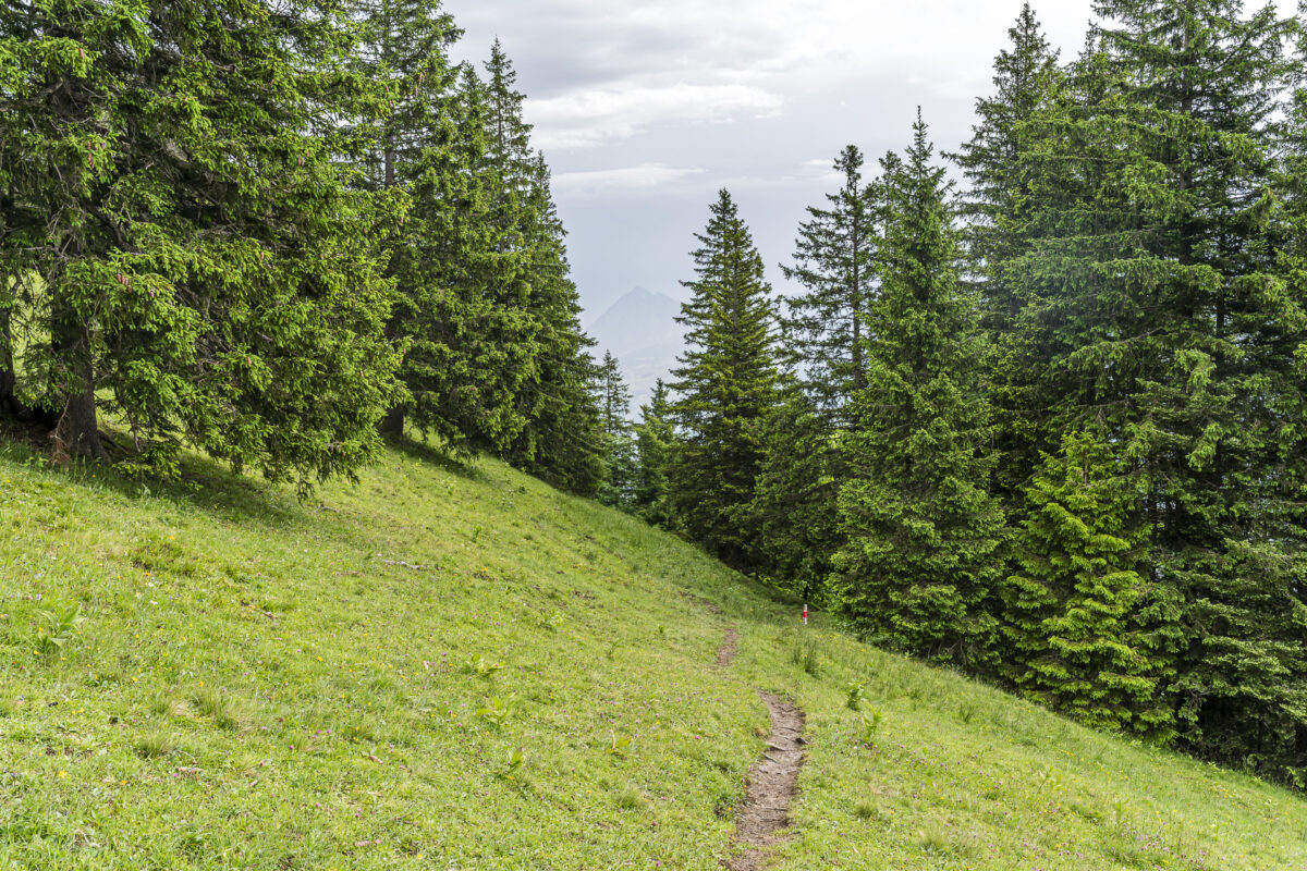
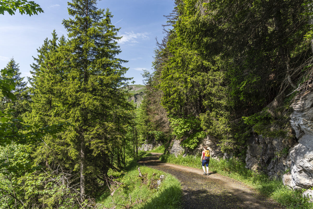
From Bürglen, the Butterfly Trail climbs in wide switchbacks toward Ankenhubel. The first two kilometers aren’t particularly varied, and the surface is mostly paved. Once we’ve passed the last farmhouse belonging to Bürglen, we’re greeted by a diverse and thus pleasantly playful mix of forest and meadow paths.
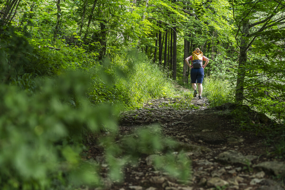
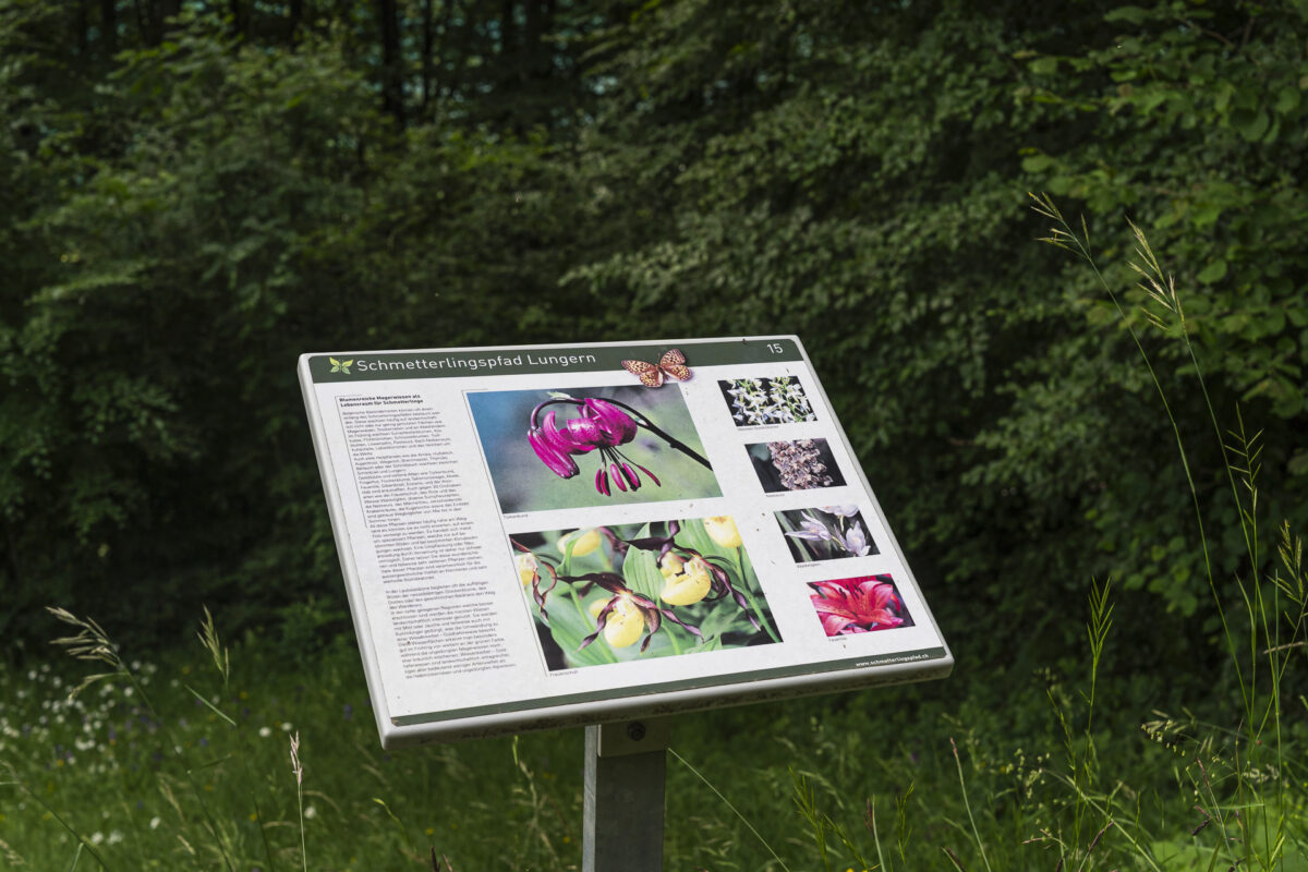
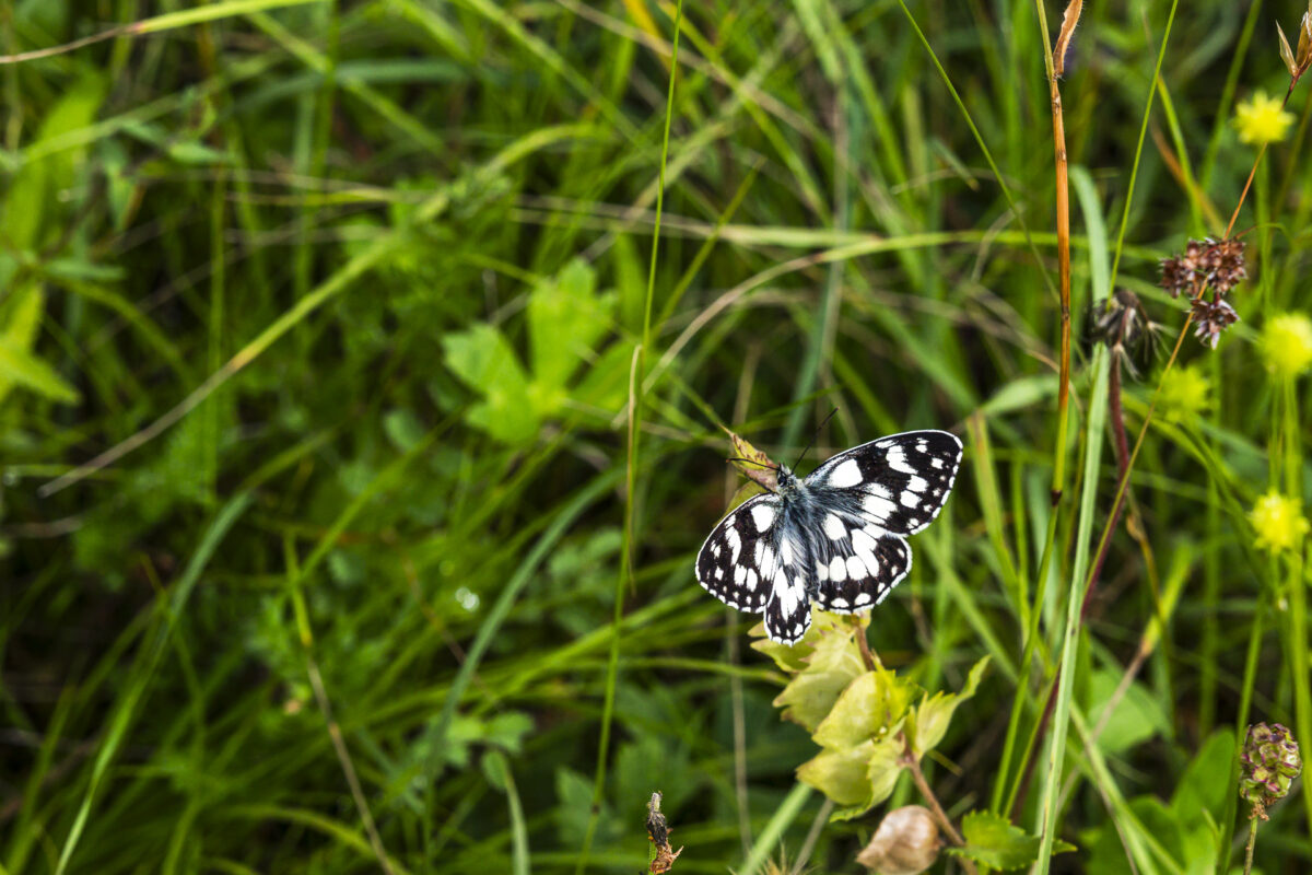
Soon we reach the first of a total of 17 information boards along the Butterfly Trail, describing the most notable butterfly species. Other rare insect and plant species also thrive on the sunny slopes. Between late May and mid-October, you can find more than 20 orchid species as well as various lilies. With a bit of luck, you might spot chamois and deer in the forest clearings.
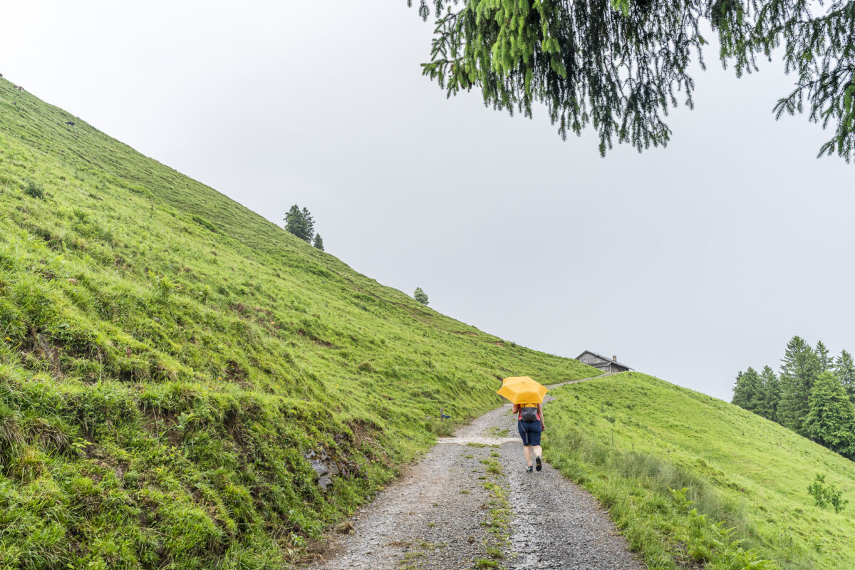
Another reason we started early was the forecast for summer thunderstorms in the early afternoon. But around Brienzer Rothorn, clouds began to gather earlier than expected, surprising us near Gerischwendi. The rain front, however, passed quickly and, to be honest, was almost a welcome refreshment in the muggy summer weather. Since we’re not in high alpine terrain and pass several huts along the way, a slightly unstable weather situation is manageable on this route.
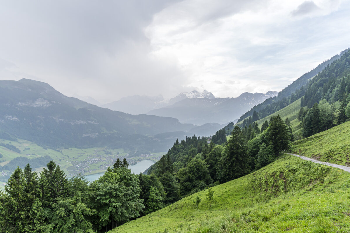
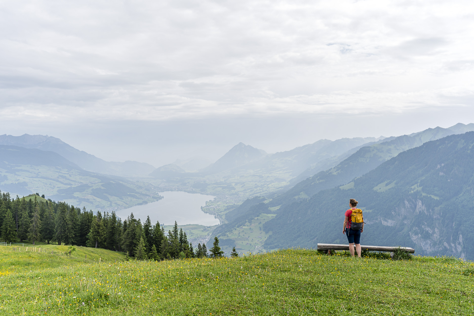
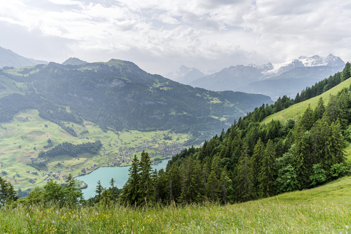
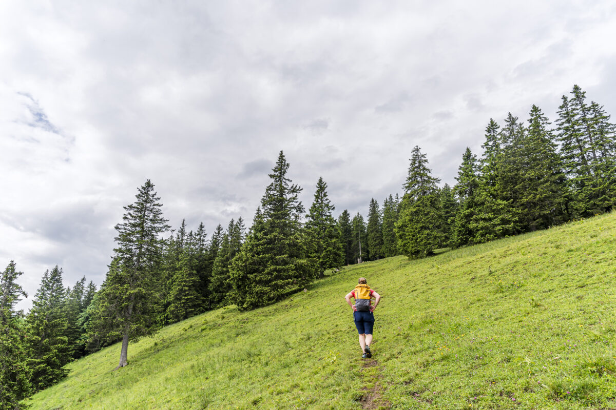
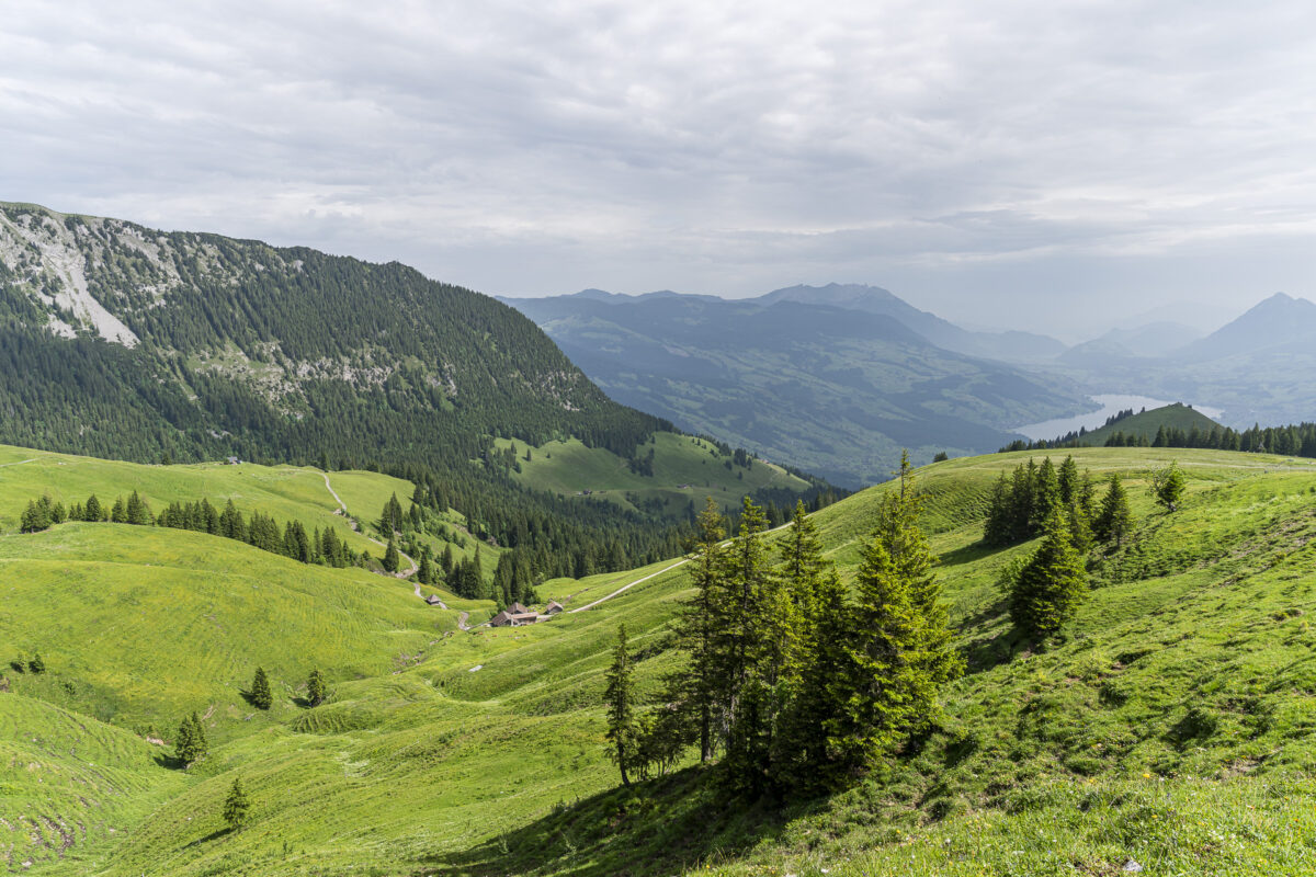
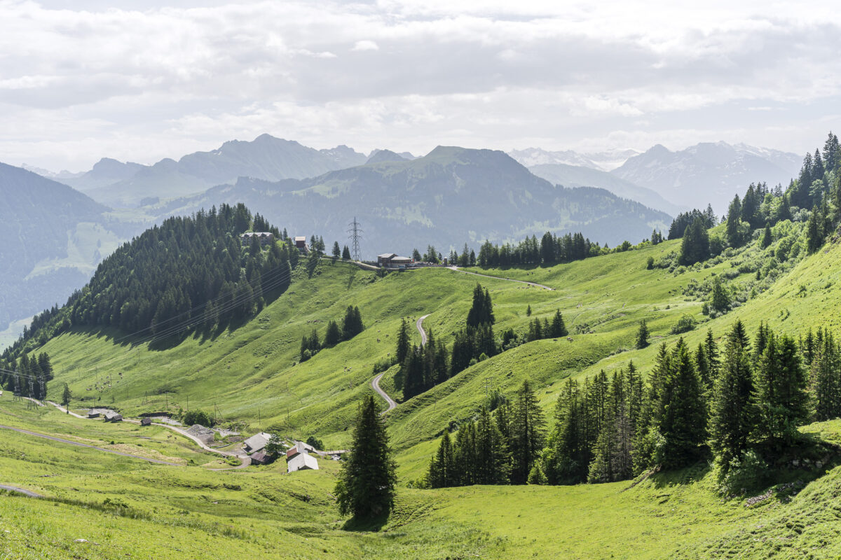
After a little over an hour of climbing, we are rewarded at Aschligrat with an impressive view down to Kaiserstuhl and realize: wow, we’ve already covered a lot of elevation. Now we can catch our breath briefly before continuing via Alp Feldmoos with about 45 more minutes of uphill hiking.
Well-Deserved Panoramas at Dundelegg
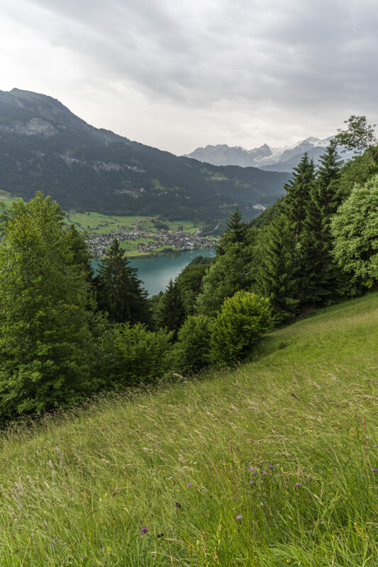
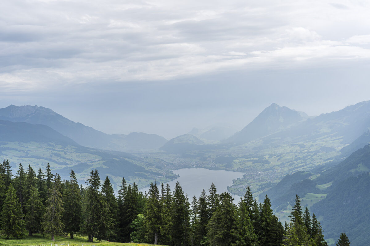
Another 350 meters of elevation later, we arrive at Riebensädel and are rewarded with a stunning panoramic view over Lake Lungern, Lake Sarnen, and the surrounding Central Swiss mountains. What a dreamlike viewpoint!
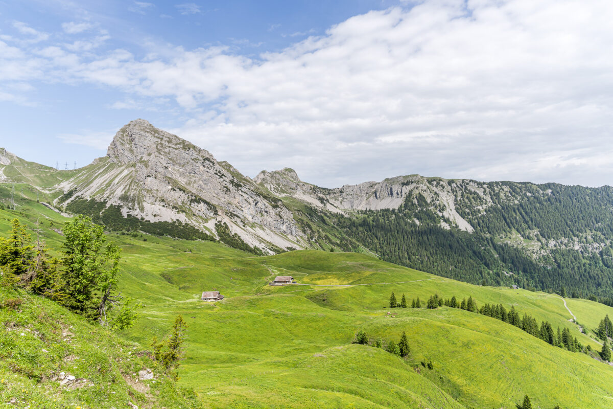
On Alpine Roads to the Lungern–Turren Cable Car
By now, the rain front has completely disappeared, giving way to a bright blue summer sky. The final section of the Butterfly Trail leads from Riebensädel about one kilometer over the scenic Dundelegg to the trail marker 1727. Here, the path splits: to the right, it goes towards Fluonalp; continuing straight leads to the Brienzer Rothorn in about two hours (and with another 1,000 meters of elevation); and to the left, the path leads to the Turren mountain station. That’s our destination!
We already know this section, and to be honest, it’s not one of our favorites. First, the path drops steeply about 50 meters over a short pasture section. Then, for the final two kilometers, you follow a paved farm road downhill to Dundel before tackling another 80 meters of ascent to the finish. A bit of a chore after the pleasure – but overall, a varied, scenic, and rewarding hiking route.
Key Facts for the Hike: Kaiserstuhl – Riebensädel – Dundelegg – Turren
Using the hiking map below, you can see the route of the Butterfly Trail. From Kaiserstuhl to Feldmoos, it’s a yellow-marked hiking trail (T1/T2). The rest of the route is marked as a mountain trail (white-red-white) and corresponds to the T2 scale. The Butterfly Trail has no special technical difficulties and is not exposed anywhere.
If you tackle the tour uphill like we did, you should have a good basic fitness level. If you hike it in the opposite direction – starting from the Turren cable car mountain station and ending at Kaiserstuhl station – be prepared for the somewhat tedious start via the paved road from Dundel up to Dundelegg. After that, the real enjoyment begins. Alternatively, you can also do the Dundelegg section as a loop hike: at trail marker 1491 (Feldmoos), follow the sign back to the Turren mountain station.
| Starting Point | Kaiserstuhl (OW) Train Station (702 m a.s.l.) |
| Accessibility | Accessible by public transport |
| Distance | 13.3 kilometers |
| Elevation | ↗ 1,189 m ↘ 358 m |
| Duration | 4:30 h – 5:00 h (depending on pace) |
| Destination | Lungern–Turren Cable Car Mountain Station (1,540 m a.s.l.) |
| Refreshments | Restaurant Turren (at the destination) |
Practical Tips for Your Butterfly Trail Hike
- The Lungern–Turren cable car operates daily from mid-May to early November. Operating hours vary depending on the day of the week. Find current information here.
- The valley station of the Lungern–Turren cable car is about a 20-minute walk from Lungern train station. Keep this in mind when planning.
- Right next to the valley station of the Lungern–Turren cable car is the “Obsee” campsite. The public lakeside beach is ideal for cooling off in Lake Lungern on a hot summer day after your hike.
- Shady spots with lake views can be found at the See-Bistro – our post-hike refreshment tip. The small but fine menu includes mixed salads with house dressing, piadinas, appetizer platters, bratwurst, crispy pike-perch bites, and burgers. We enjoyed it! You can find opening hours and the menu here: See-Bistro Lungern.
- The best time for the Butterfly Trail hike is from May to October.
Leave a Reply