

Entlebuch moorland path: from Heiligkreuz to the Schwandalp Kneipp pond
Advertisement: this article was created in collaboration with Passepartout
Nowhere else in Switzerland are there so many nationally protected moors in such a compact area as in Entlebuch. The various raised and flat moors are linked to each other by the 80-kilometre-long moorland path. Divided into stages, the long-distance hiking trail can be wonderfully implemented in bite-sized pieces. We recently went on a day hike between Schüpfheim and Flühli in the Klein Entlen moorland.
[alert color=”FFFFFF” icon=”Select an Icon” title=”Unknown corners of Central Switzerland“]
This year, in cooperation with the Central Swiss fare network Passepartout, I present you four great excursion destinations in the cantons of Lucerne, Obwalden and Nidwalden, which are located away from the tourist hotspots and can be easily reached by train and bus. After the snowshoe hike in the Glaubenberg, my second excursion tip of this series takes you to the enchanting Entlebuch moor landscape
[/alert]
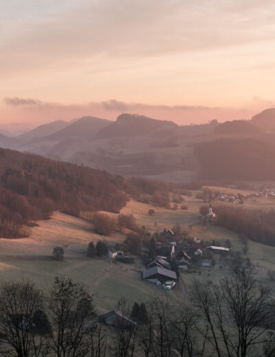
The Entlebuch Moorland Trail is located at altitudes between 800 and a maximum of 1,500 m above sea level. Actually, a terrain that lends itself to spring hikes. But this year, late cold snaps ensured that even in the second half of May we still crossed one or two stubborn snowfields. Apart from that, spring in Entlebuch has the advantage of being far away from the crowds in the middle of an original cultural and natural landscape.
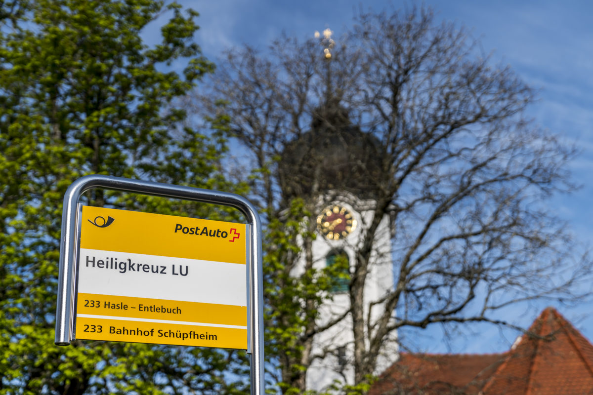
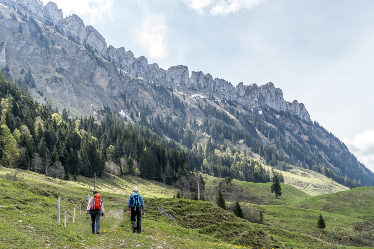
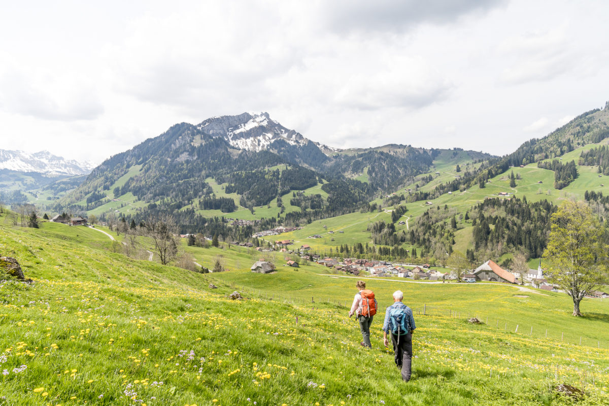
Hiking start in the place of power Heiligkreuz
Early on Friday morning, we are the only hikers who can be transported by post bus from Schüpfheim train station to Heiligkreuz. We arranged to meet my father at Schüpfheim station for this hike – conveniently, the trains from Lucerne and Bern cross here and thus offer an optimal connection to the post bus in the direction of Heiligkreuz.
The history of the pilgrimage site above Hasle can be traced back to the Middle Ages. The heyday of pilgrimages may be over, but Heiligkreuz still exudes a special power with the church of the same name. Fittingly, there are places of power around Świętokrzyskie such as the Soul Bridge, the Health Trail and the “Wurzilla” Fairy Tale Trail. We shoulder our backpacks and follow the fairytale trail uphill.
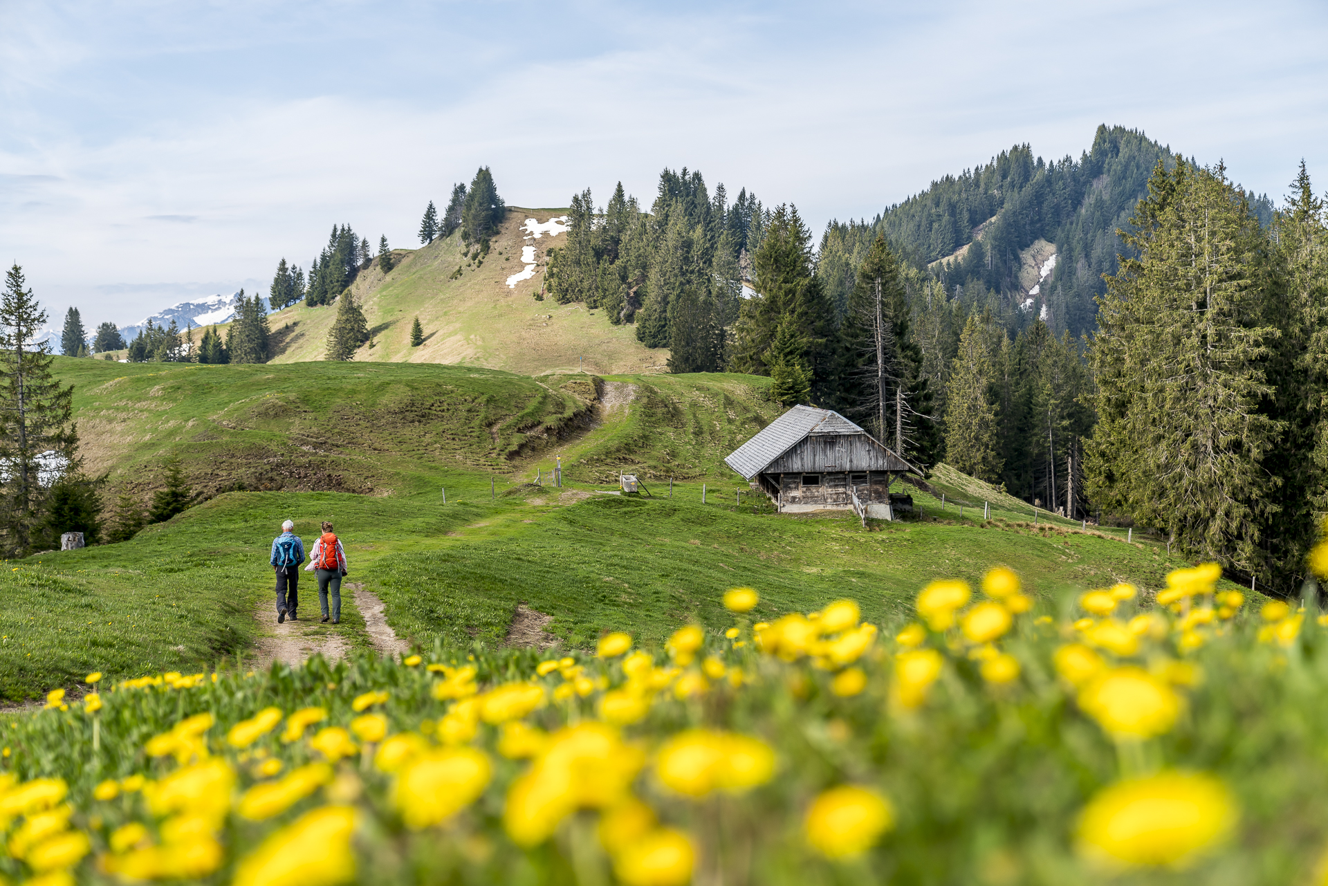
Ascent to the First viewpoint
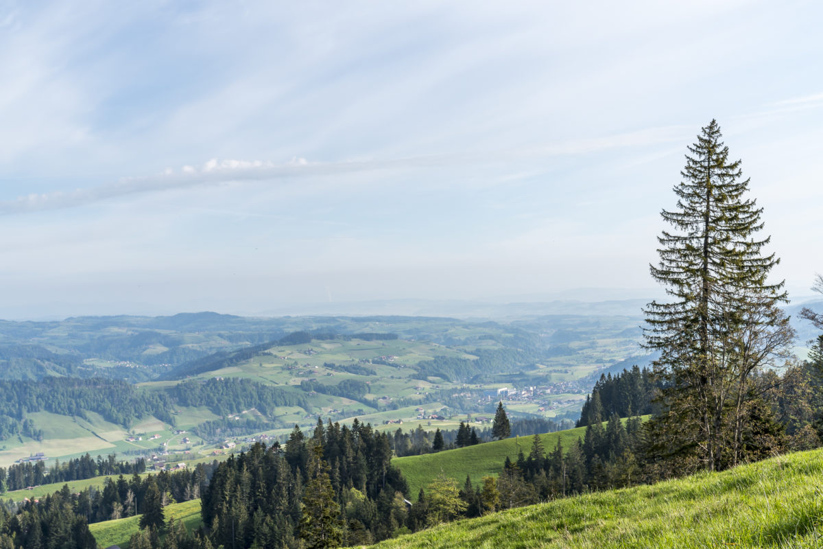
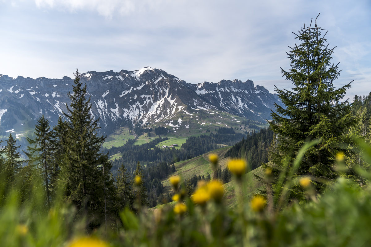
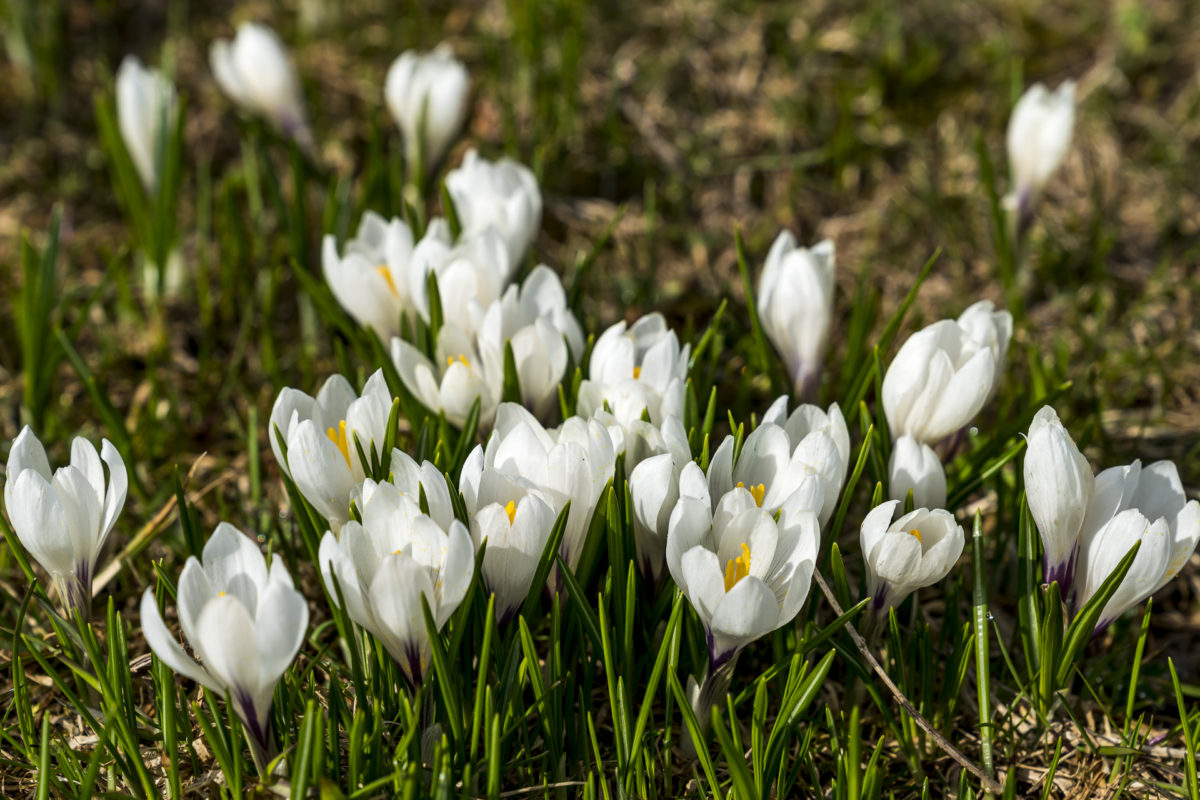
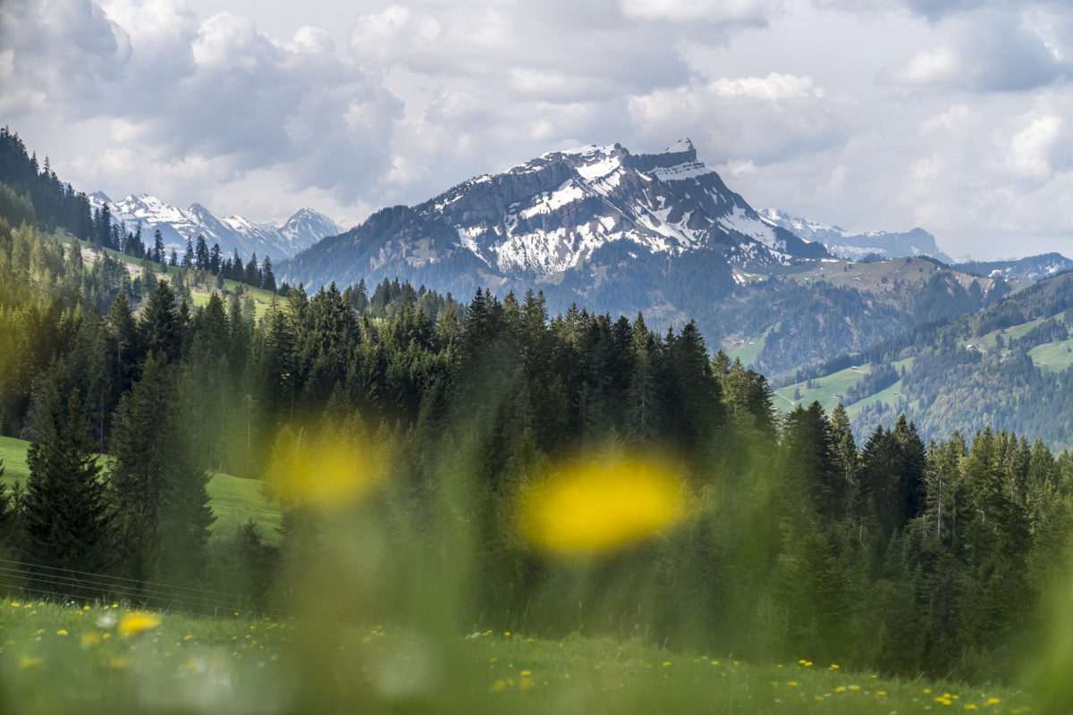
While the Fairy Tale Trail is designed as a circular route and leads back to Heiligkreuz, we follow the hiking trail further up the slope. Our first stage destination is the First. We make rapid progress and undercut the signposted 60-minute ascent by a quarter of an hour. Shortly before half past nine o’clock we reach the sun terrace of the mountain restaurant. Here a panoramic view opens up to us, which extends from the Schimbrig over the Glaubenberg and the striking Schafmatt to the Schrattenflue; plus sunshine and blooming crocuses. Only with the morning coffee we had miscalculated. Actually, I had planned a breakfast break at the First mountain restaurant. To do this, we would have had to curb our brisk march – because the mountain restaurant doesn’t open until 9 a.m. Wait or continue hiking without coffee? We opt for the latter – who knows how long the sun will be able to prevail against the clouds on this day.
Up & down on the Klein Entlen moorland path
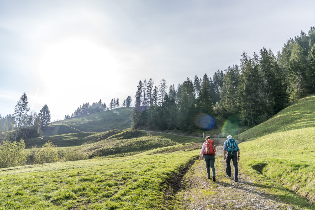
We don’t have to live without “fuel” for long. On the ridge path towards the Finishütte, an alpine farmer spontaneously invites us into his parlour and offers us the longed-for “coffee”. After a short chat, we continue our hike towards Flühli.
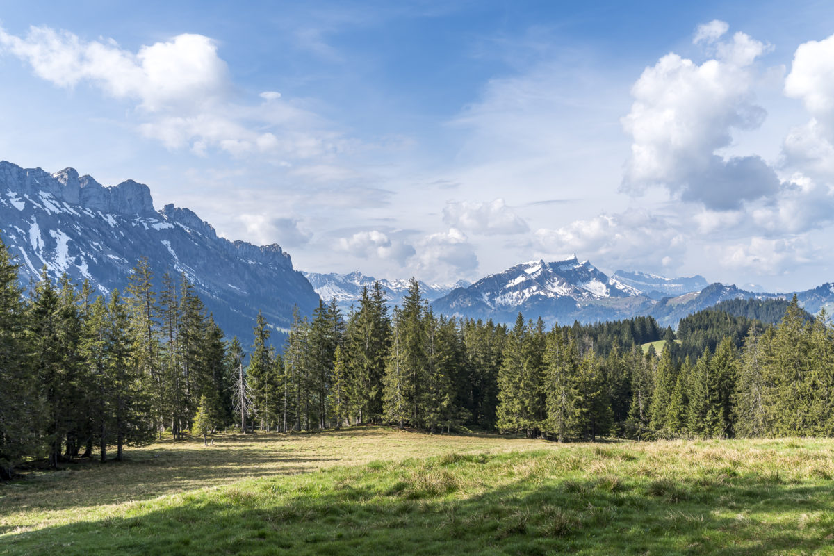
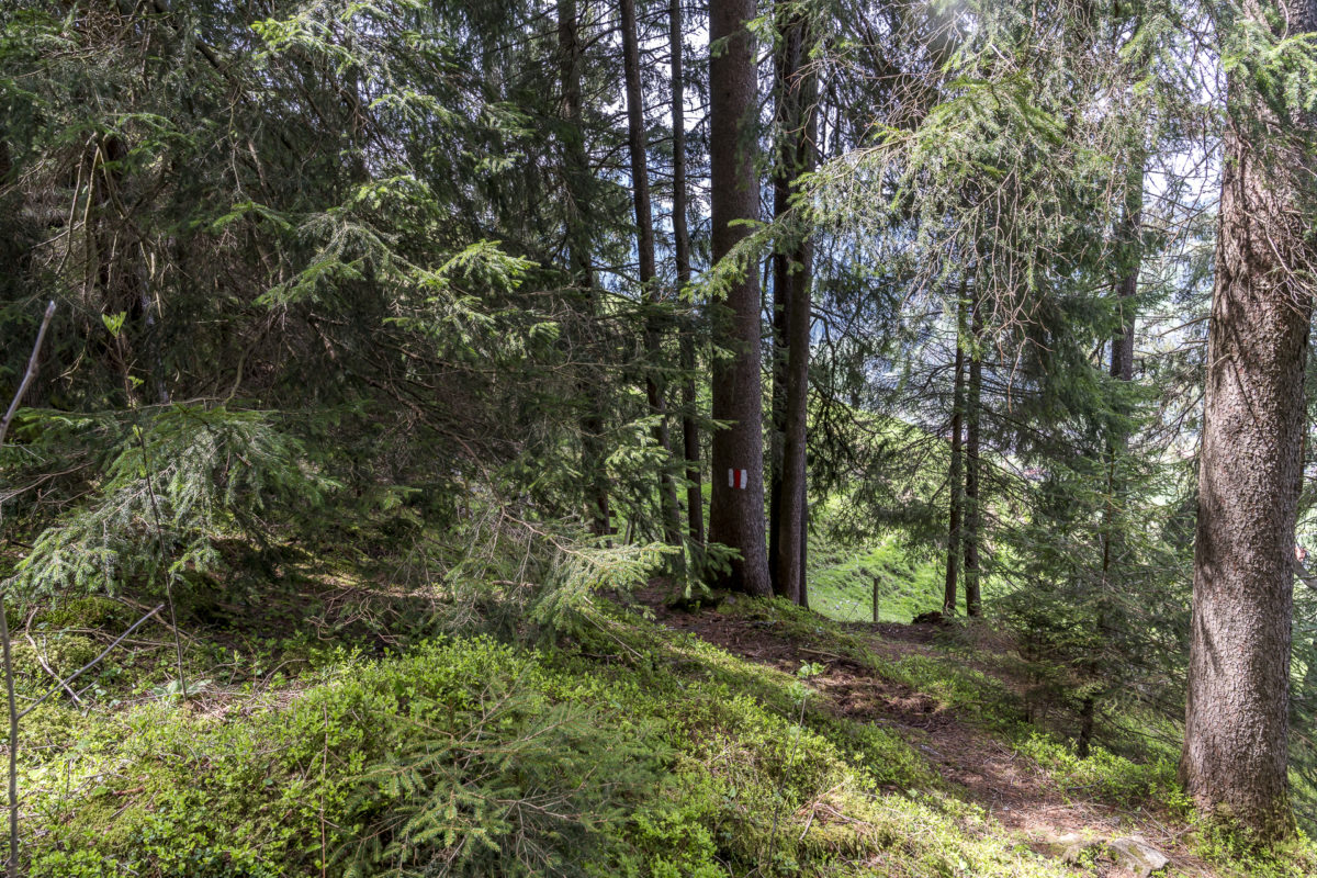
The hiking trail leads in a pleasantly constant up and down over stony mountain paths and springy, woody-scented forest paths to Finishütte. We always have the rugged flanks of the Baumgartenflue to our left as well as the striking Schrattenflue straight ahead. In Finishütte we cross the bubbling “Kleine Entlen”, which drains the valley area between First and Schafmatt. Here we meet the officially signposted moorland path, which leads along the valley floor via Angstboden to Schimbrig.
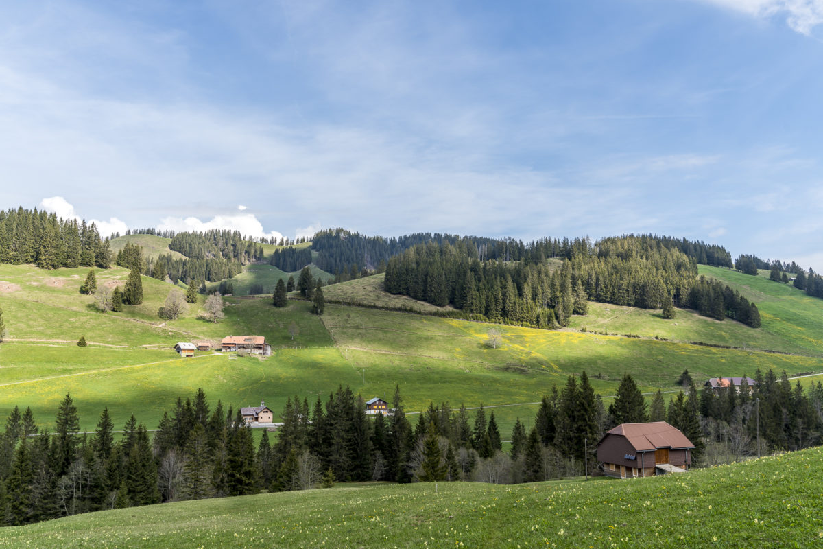
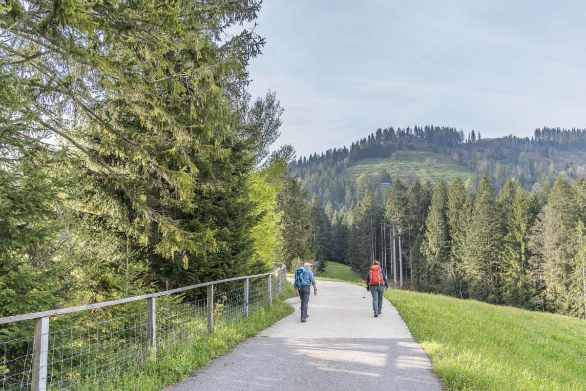
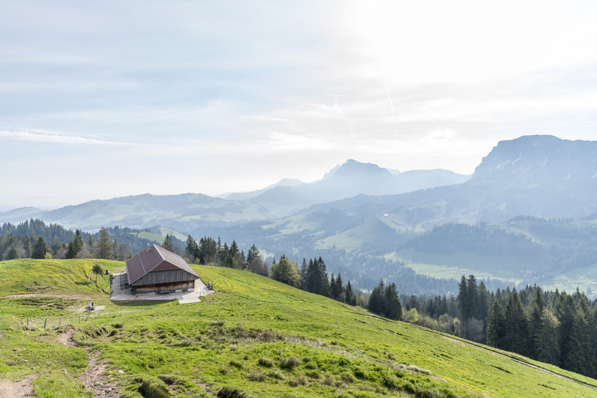
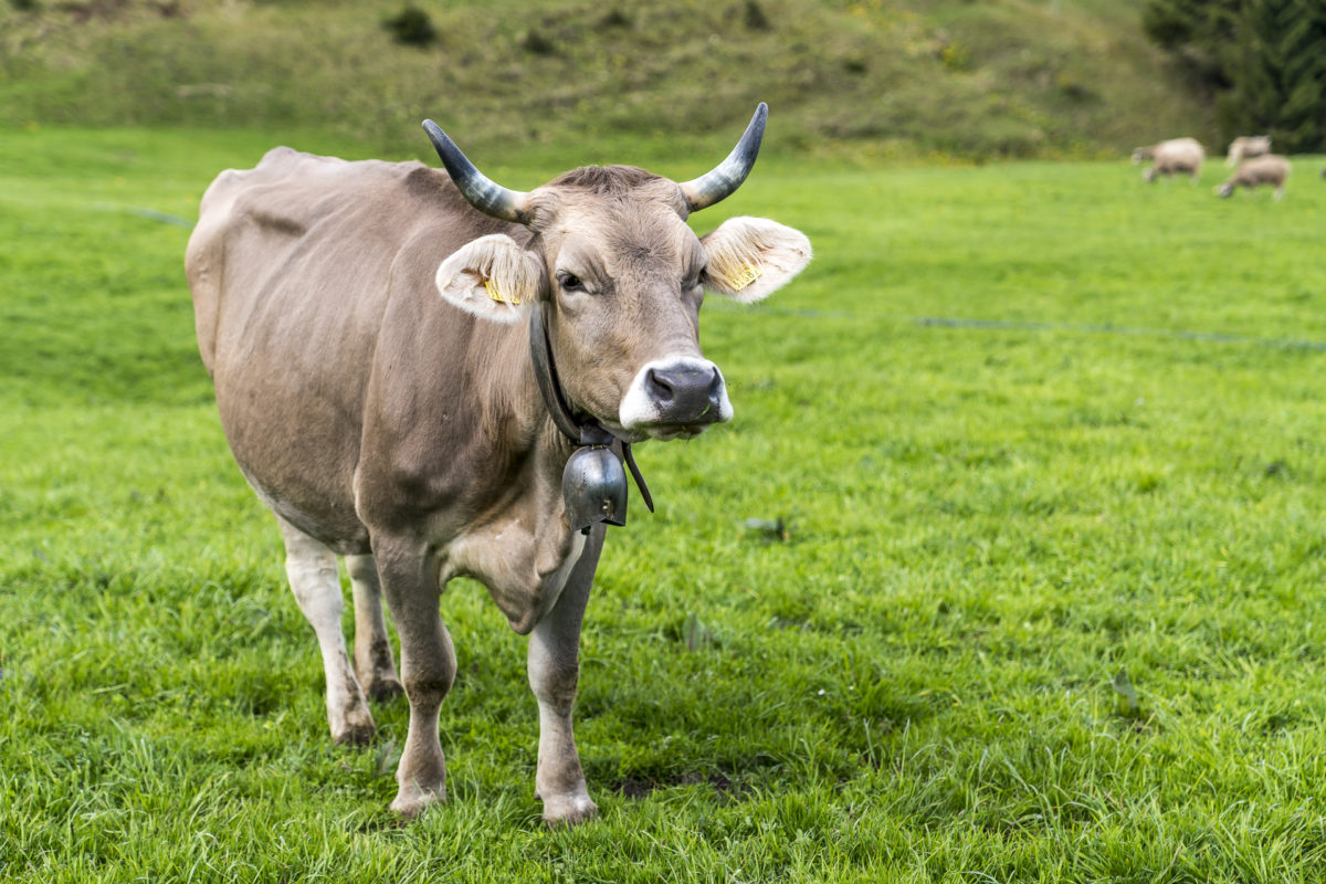
After Finishütte, there is another small ascent towards Baumgarten. Here, the alpine summer has already begun and the cows graze on the lush green meadows in front of the alp. So it won’t be long before the first alpine cheese of the season is sold directly from the farm.
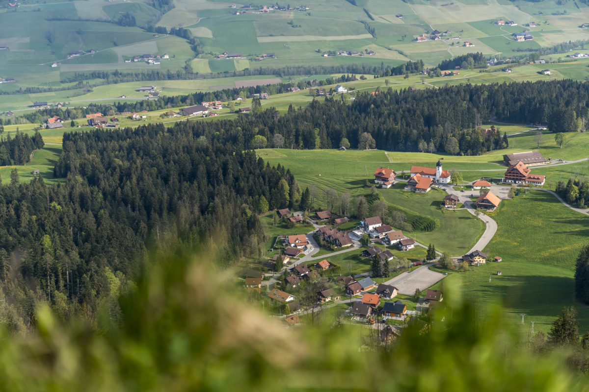
For us, the descent through sparse fir forests to Flühli follows. From Schwändili, the view opens up into the valley. The young grass makes last season’s trail tracks disappear and challenges us in sections. “Where does the path lead?” we puzzle over more than once – but in the end we find the right rank at every point.
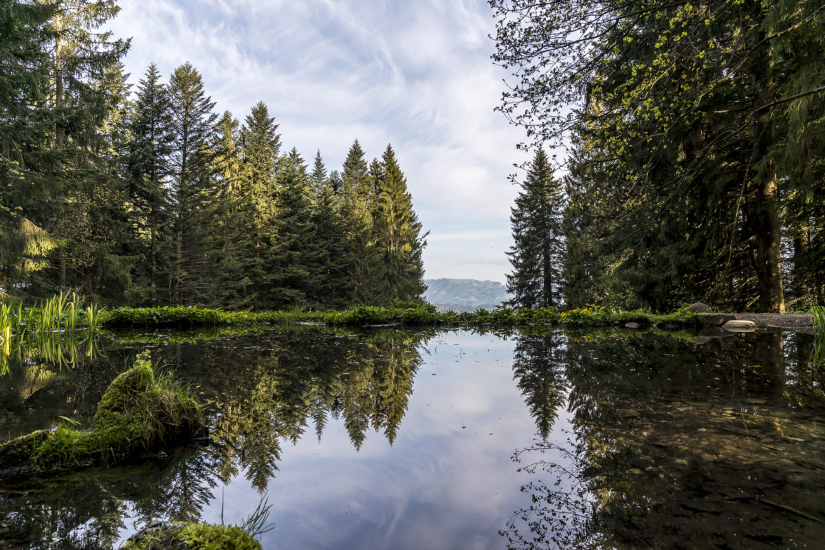
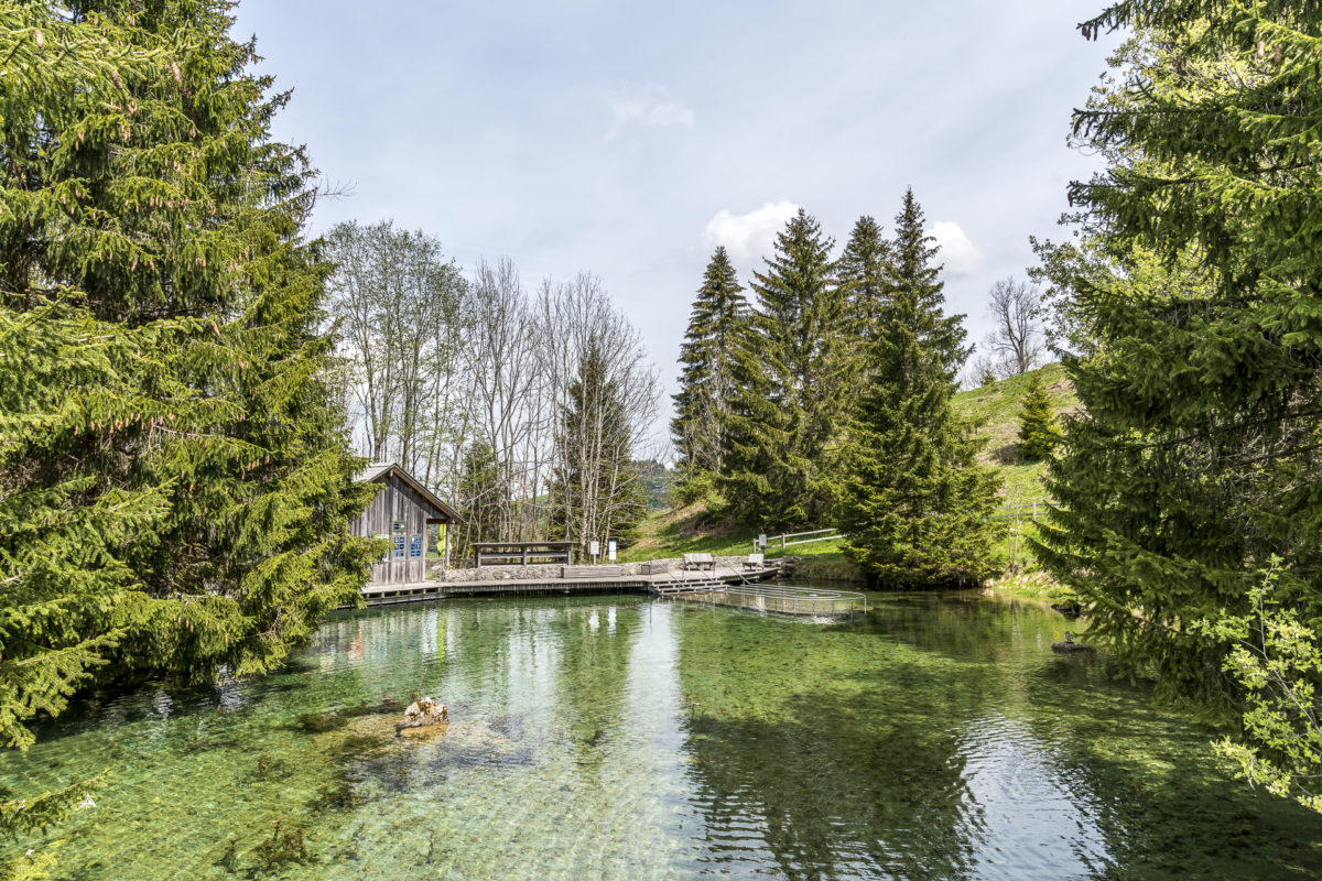
Freshness kick in the Kneippweiher Schwandalp
Above Flühli there is the possibility to hike directly into the village, or to make the bow to the Kneippweiher Schwandalp. In 2003, the pond, which was once built as a reservoir for a small power plant, was converted into a health facility according to the teachings of Dr. Sebastian Kneipp. Idyllically embedded in flower meadows, the complex offers a water treading facility, barefoot path, herb garden, casting station, arm bath and relaxation areas – a small oasis and the perfect place to refresh your tired calves after a hike on the moorland path. The facility is accessible daily and the entrance fee for adults is 5 CHF (tip: take coins with you, as the cash register is not served). At each station there are information boards with explanations of the respective applications.
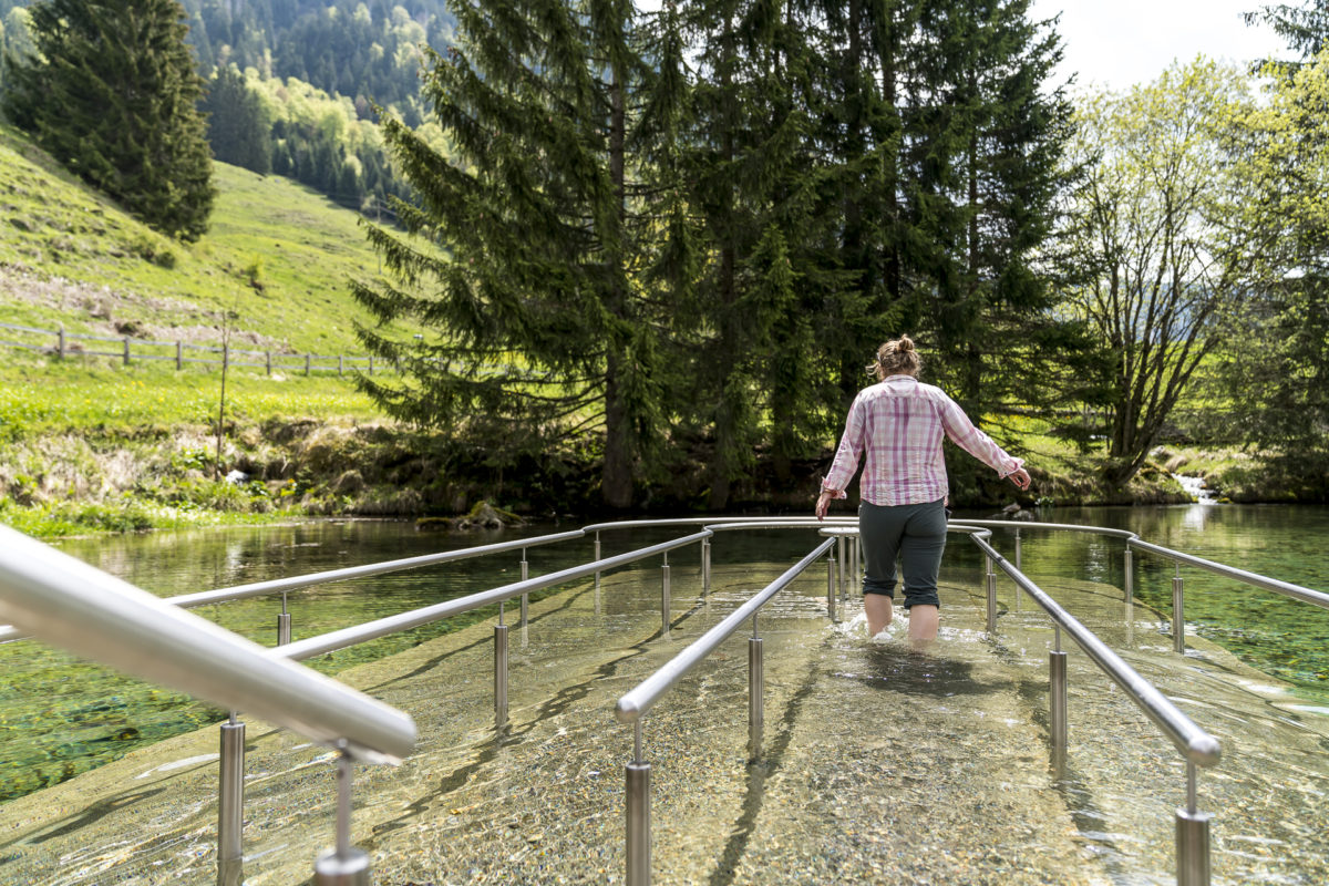
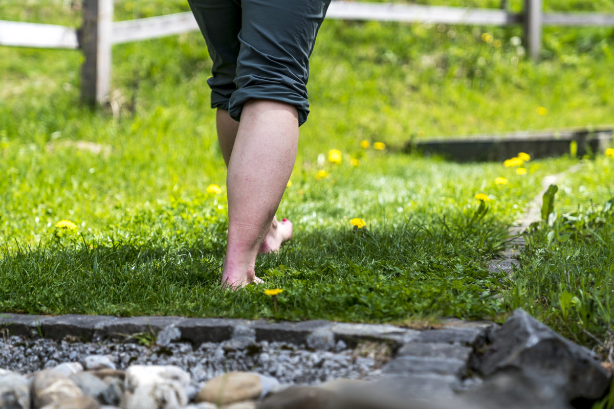
I roll up my trouser legs and stalk through the spring-fresh water in a stork’s step. From halfway around the water treading system, I have to grit my teeth. The water temperature of 6-7°C makes my legs tingle after just a few seconds. Afterwards I follow the barefoot path and realize once again that I should give my feet much more fresh air – the walk over the pine cone fields is pure torture. I much prefer the soft, gently tickling meadow sections.
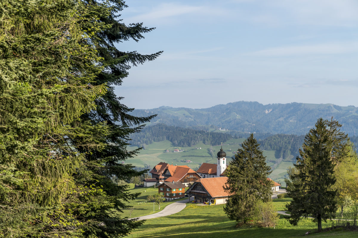
It takes less than thirty minutes on foot from the Schwandalp Kneipp facility to the village centre of Flühli. This makes it easy to coordinate your stay in the Kneipp facility with the hourly post bus connection back to Schüpfheim station.
Practical tips for the Entlebuch Moorland Trail
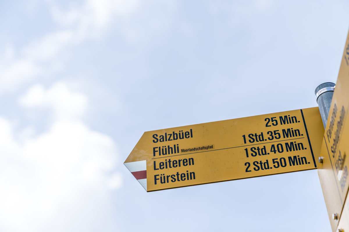
The route of our hike along the Entlebuch moorland path can be found on the map below. We followed part of the third stage through the Klein Entlen moorland, which leads from Gfellen to Flühli with a total of 21 kilometres (with around 6.5 hours of hiking time and 1,200 metres of ascent, it is physically demanding). In our “gentler” variant from Heiligkreuz via First to Flühli, a total of 13 kilometres and 600 metres of altitude have to be mastered. The pure hiking time for this variant is four hours. The start and end points of the hike can be reached by post bus from Schüpfheim train station.
The moorland trail through the UNESCO Biosphere Entlebuch is designed as a multi-day hike and comprises five stages with a total distance of 80 kilometres. An overview of the individual stages as well as further information can be found on the website of the Biosphere Entlebuch.
Leave a Reply