

Poëta-Raisse: easy gorge hike in the Val de Travers
Winding paths that nestle against steep rock faces, secluded green ravines and a pleasantly mild breeze. If you were exploring the Poëta-Raisse gorge near the town of Môtiers on a sunny summer’s day, you wouldn’t think that the dialect name “Poëta” means “ugly”. Doesn’t it sound much more like a promising, enchanted place to our German-speaking Swiss ears?
However, if you set out on the impressive gorge trail, you will quickly understand that the ravine, deeply cut by the seemingly harmless little river “Breuil”, could have been a “fearful” place in earlier times, when the gorge was not yet accessible with a comfortably developed hiking trail. In this post, I’ll take you on an entertaining and easy circular hike through what I think is the most beautiful gorge in the Val de Travers. Perfect for those who want to spend a few relaxing hours outside in nature without exhausting themselves.
Would you like to take a look at the key data of the tour and the hiking map? Then click here.
From Môtiers to the Poëta-Raisse waterfalls
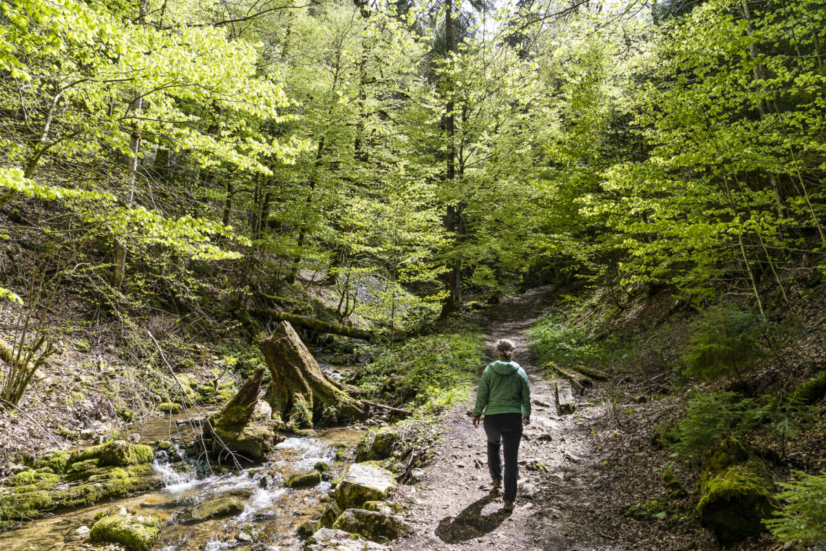
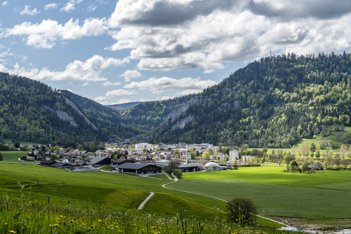
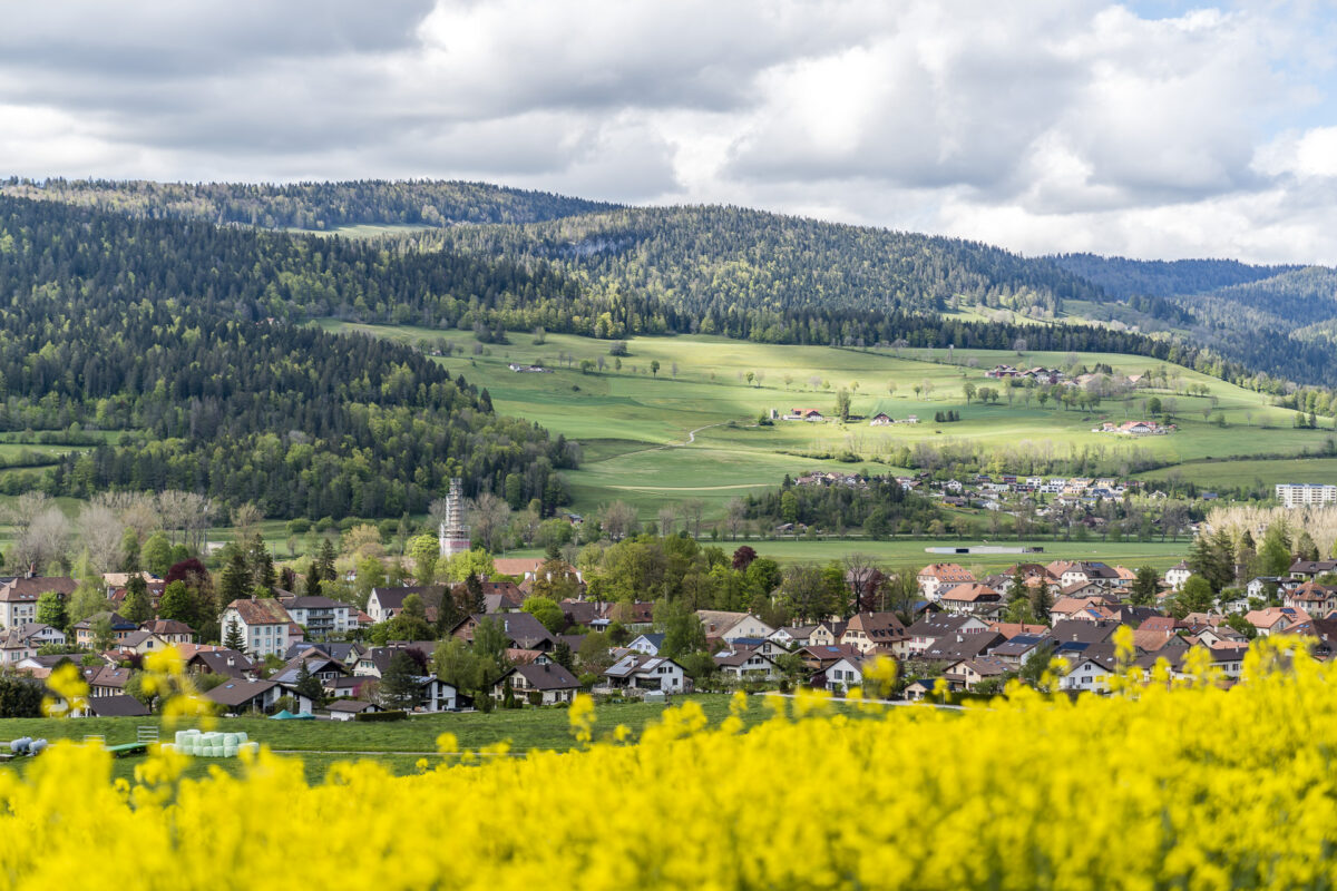
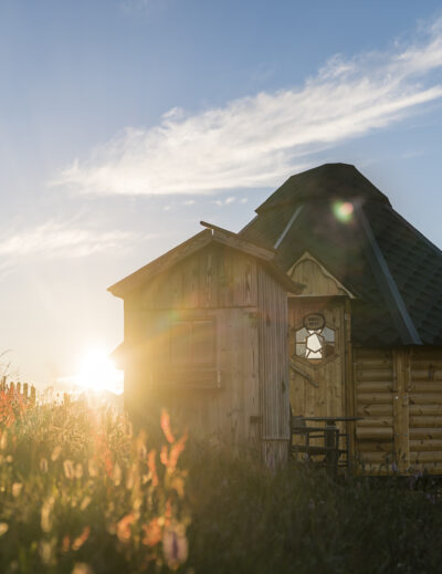
The circular walk through the Poëta-Raisse gorge starts at Môtiers train station in the Val de Travers. Here we follow the hiking trail signs through the middle of the pretty village centre. The sights along the way, Maison de L’Absinthe and the Musée Jean-Jacques Rousseau, we save for the way back. We follow the tarred road until we reach the car park, which is located at the start of the actual gorge path (it is called “Parking de la Poëta-Raisse” on Google Maps). If you like, you can take a short detour (about 10 minutes walk) to the Grotte de la Cascade at this point. The grotto is one of the longest caves in the canton of Neuchâtel and was made famous by Jean-Jacques Rousseau.
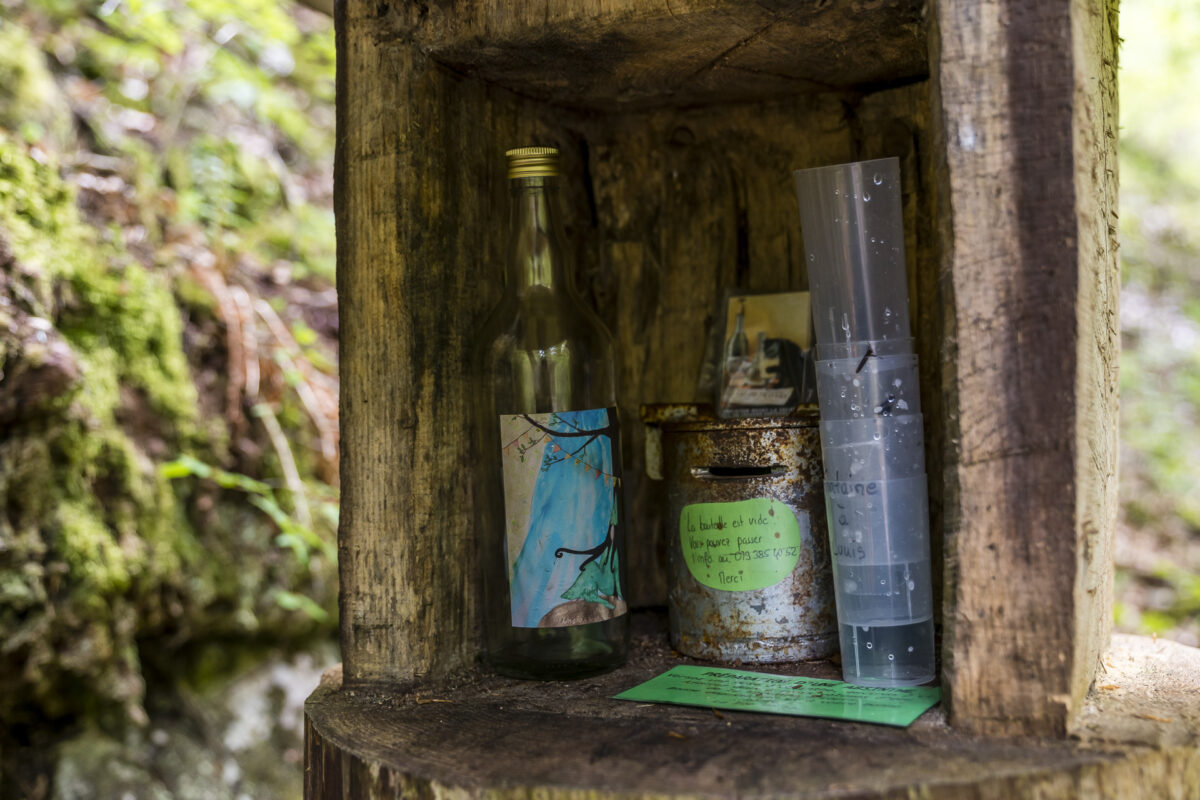
Unlike other gorge trails in the region, the Gorge Trail is free to walk on. In addition, we wouldn’t be in the Valley of the Green Fairy here if there weren’t a “secret fountain” waiting for us along the way – hidden in a wooden box. The so-called hidden absinthe fountains (Fontaine à Louis) offer the opportunity to taste a sip of absinthe mixed with spring water. Of course, in medically small quantities, a few meters of altitude are still waiting for us.
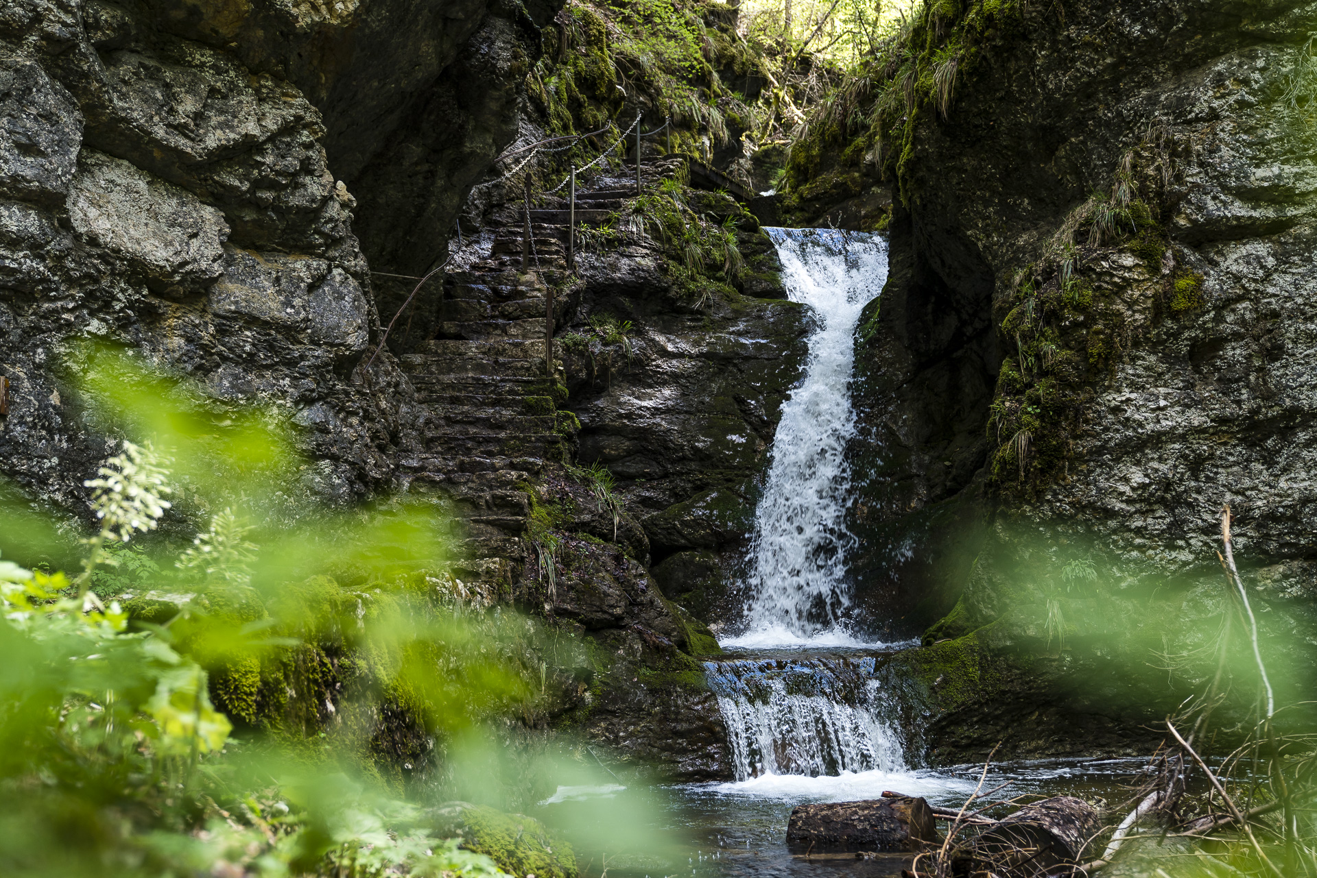
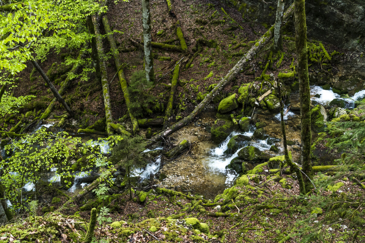
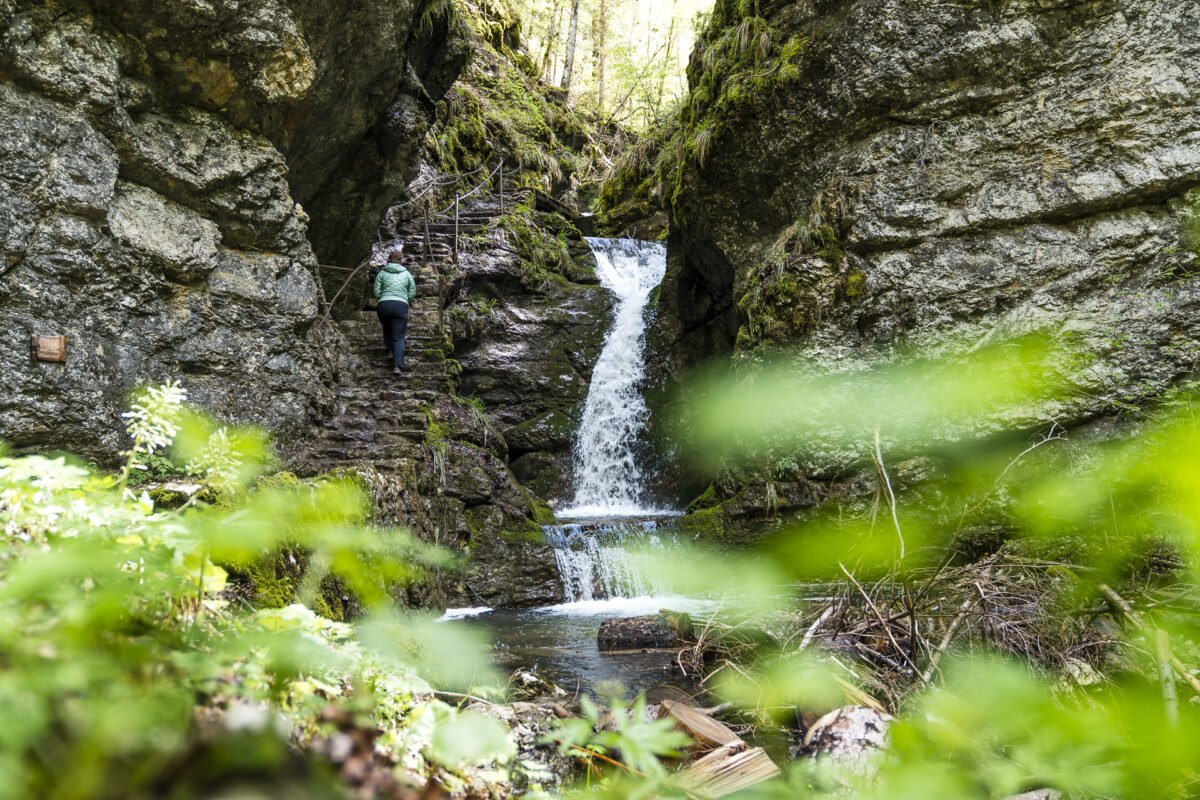
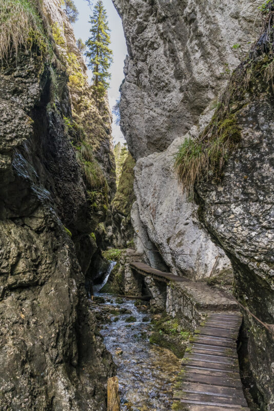
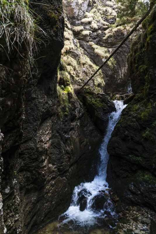
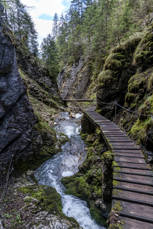
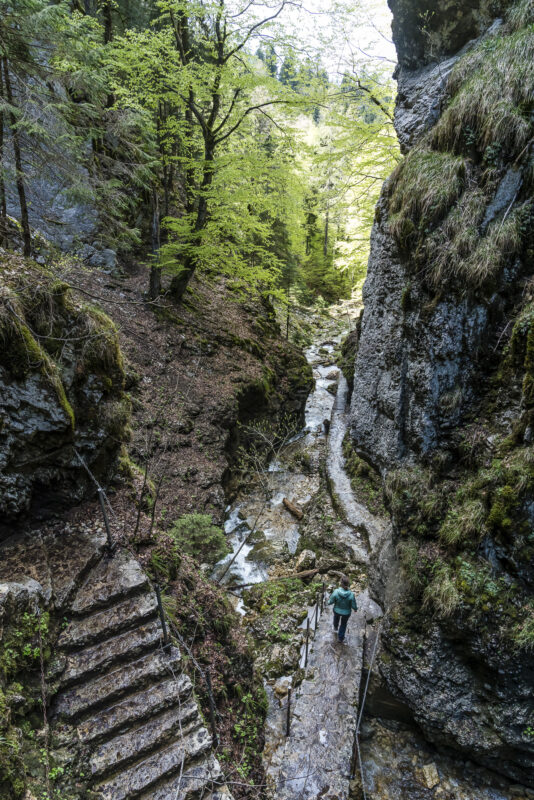
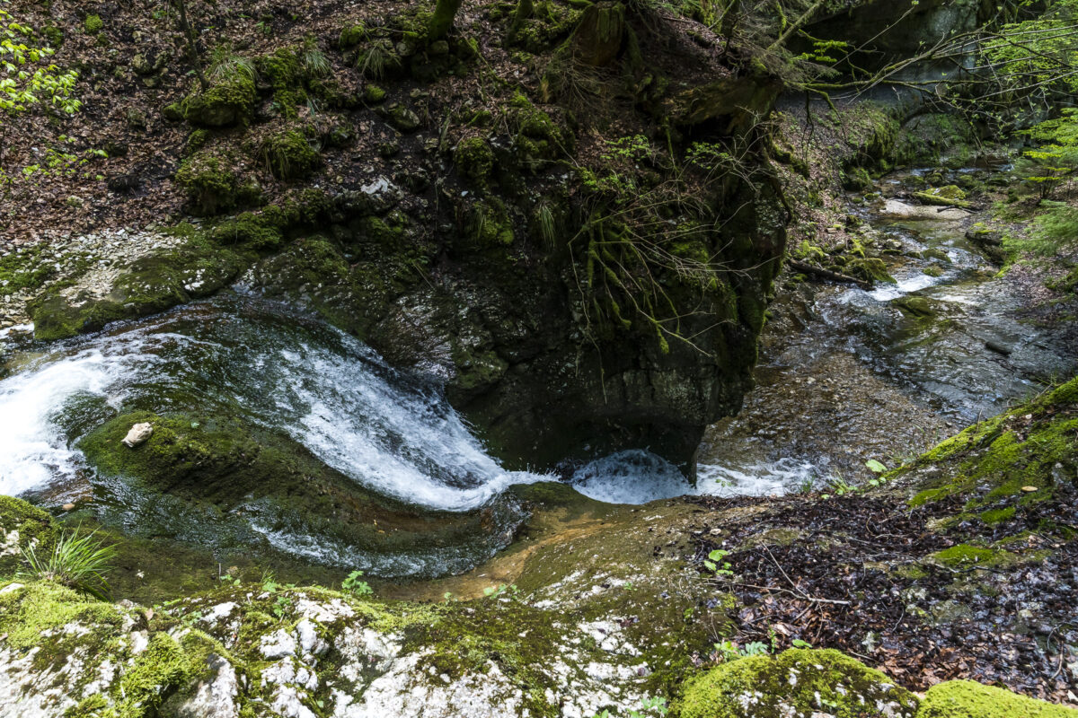
Afterwards we follow the wide forest path deeper into the gorge of the Poëta-Raisse. It takes just under an hour to get to the most exciting part of the gorge. The prelude is a pretty waterfall. We climb further up into the gorge via steps and are then guided over a narrow bridge into the narrowest section of the Poëta-Raisse. The light conditions on this sunny afternoon are not ideal to capture the mystical atmosphere in this narrow passage – but we can enjoy the pleasant coolness here between the cheerfully bubbling Breuil and the cool rock ledges.

Beautiful route back to Môtiers
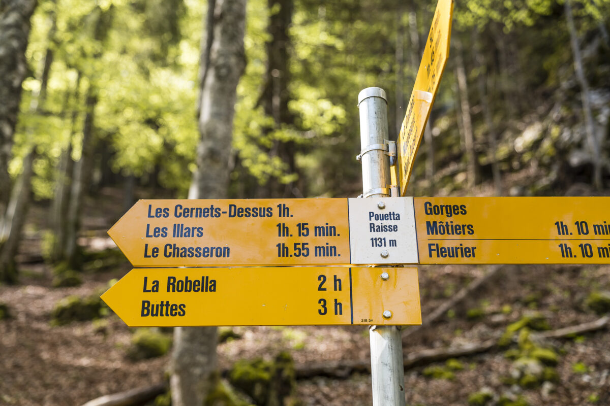
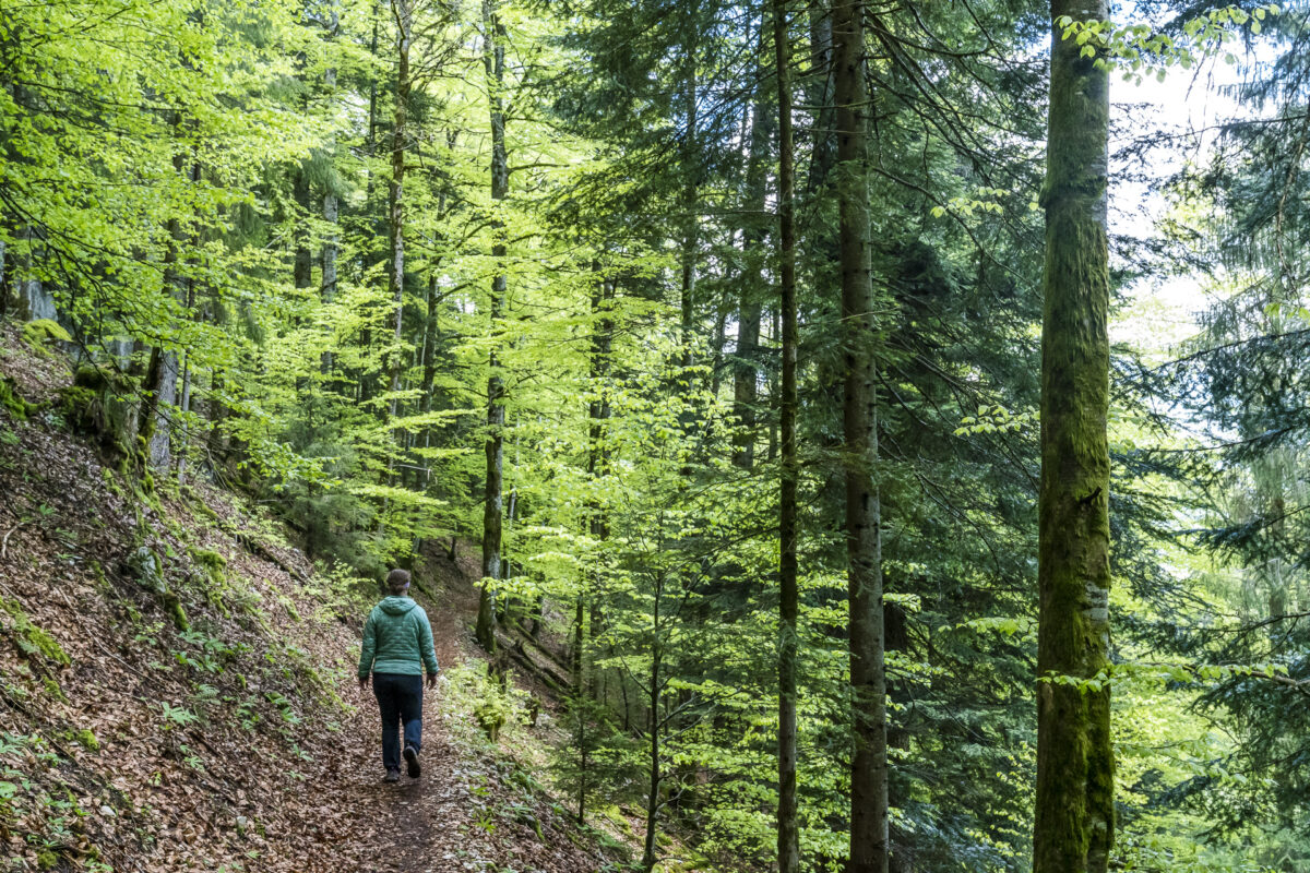
We have designed our circular hike in such a way that we walk the most exciting part of the gorge in both directions. Back at the wooden bridge, we keep to the left and follow the hiking trail towards Fleurier/Môtiers. Now follows a really beautiful, narrow forest path, which leads via Le Breuil along the ridge towards Chateau de Môtiers without any significant climbs. Just before the castle, the path makes a “bend” and zigzags from 900 m above sea level down to Môtiers.
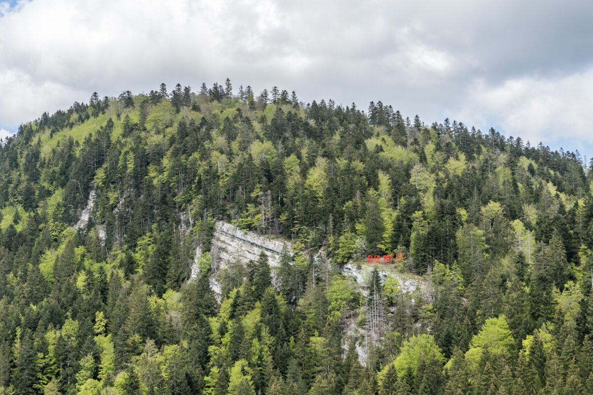
Art en plein air – Kunst am Wanderwegrand
On the way back, we notice the bright red lettering with the words “elle est là” in the middle of the forest. “Is this art in public space?”, I ponder, and indeed – “it’s there”: from 20 June to 20 September, Môtiers will once again be the backdrop for the contemporary art exhibition “Art en plein air” this year, after 2015. The gorge hike through the Poëta-Raisse can thus be combined with an inspiring art tour. More information about this year’s exhibition can be found here: Art en plein air.
Practical tips for your hike through the Poëta-Raisse
On the following map you can see the route of our circular hike from Môtiers to Poëta-Raisse and back. The route measures 8.8 kilometers and includes an ascent of almost 400 meters in altitude. The path is well developed and also well secured in the section of the gorge (difficulty level T1/T2). However, there are some stairs and also narrow, sloping sections of the path. Accordingly, choose good, grippy shoes. Please also note that the gorge path is closed during the winter months (approx. until and including the end of April).
If you are in the mood for a longer hike, you can also combine the hike through the Poëta-Raisse with a detour to the Chasseron. To do this, simply follow the corresponding signpost at the end of the gorge. From Môtiers through the Poëta-Raisse via the Chasseron to Ste-Croix, it is 16.5 kilometres and almost 1,000 metres in altitude.
p.s I have been asked lately whether I actually do not offer GPS data of the hikes for download/export. That’s what I do – or SwitzerlandMobility does. To do this, you simply have to click on the map above and you will be taken to the SwitzerlandMobility website, where you can see the elevation profile of the hike as well as export the GPS data.
Poëta-Raisse – Key data of the hike
| Starting point | Môtiers railway station (735 m above sea level) |
| Reachability | accessible by public transport |
| Length | 8.8 kilometres |
| Elevation gain | ↗ 400 m 400 m ↘ |
| Duration | ca. 2:30 pm |
| Destination | Môtiers train station |
| Catering | Recommended and directly on the path is the restaurant les Six Communes, otherwise there is also a fireplace in the gorge |
You can find more excursion and hiking ideas around the Val de Travers in these articles:
From Val de Travers to La Brévine
The classic hiking trail of the valley: the Areuse Gorges
By e-bike to the Creux du Van

Leave a Reply