

The most unknown region in Switzerland? – Circular hike through the Reiat
Three years have passed since our last trip to the Schaffhausen Regional Nature Park. At that time, we hiked over the plateau-like ridge called “Randen” and enjoyed the view over the extensive deciduous forests from the Schleitheimer Randenturm. I can remember how I said to my friend at the time, “this landscape certainly looks magical even in autumn”. And after our detour to the Reiat today, I can confirm: She does! The northeastern tip of Switzerland has proven to us that it is also a veritable candidate for a beautiful autumn hike.
The Reiat – idyll in the Schaffhauserland
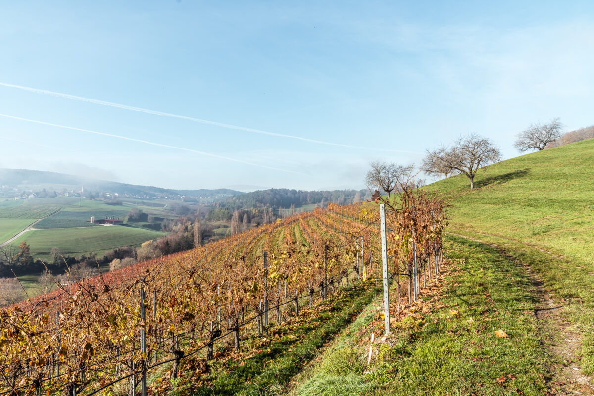
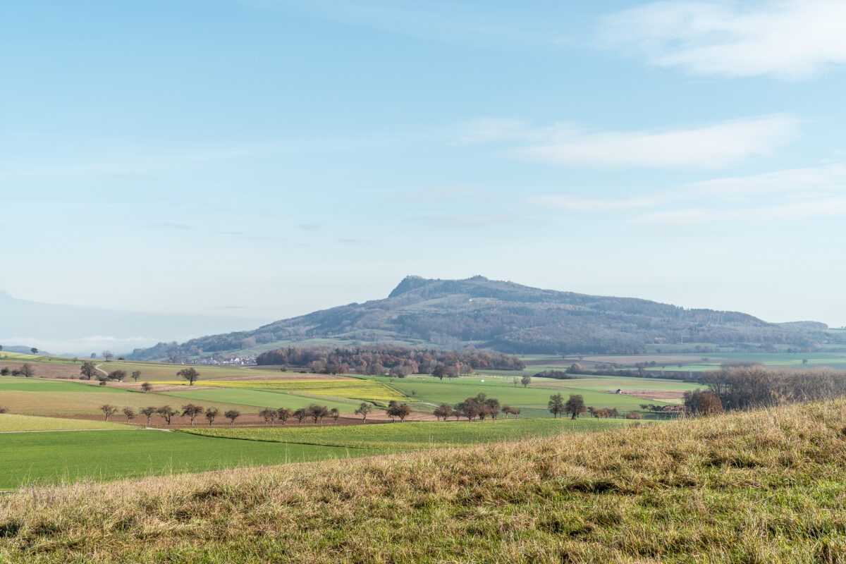
One of the five regions that are part of the Schaffhausen Regional Nature Park is the Reiat. The name goes back to a field name that has been used since the Middle Ages as a landscape name for the area north of the city of Schaffhausen (Büttenhardt, Lohn, Thayingen, Herblingen, Stetten, Altorf, Bibern, Hofen and Opfertshofen). And if you don’t know what to do with the term “reiat” – welcome to the club. That’s probably how most people feel. Even if there are no classic sights or special attractions hidden in the Reitat, the lovely hilly landscape has one or the other trump card in store. On the one hand, the northernmost vineyard in Switzerland can be found in the Reiat and on the other hand, you can enjoy panoramic views of the beautiful Hegau cone volcanoes from here.
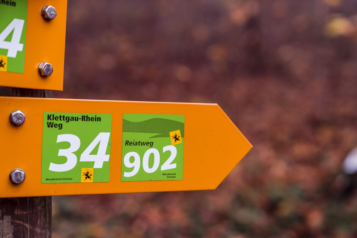
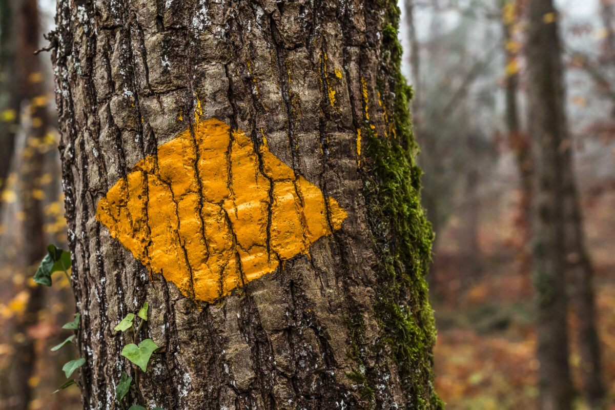
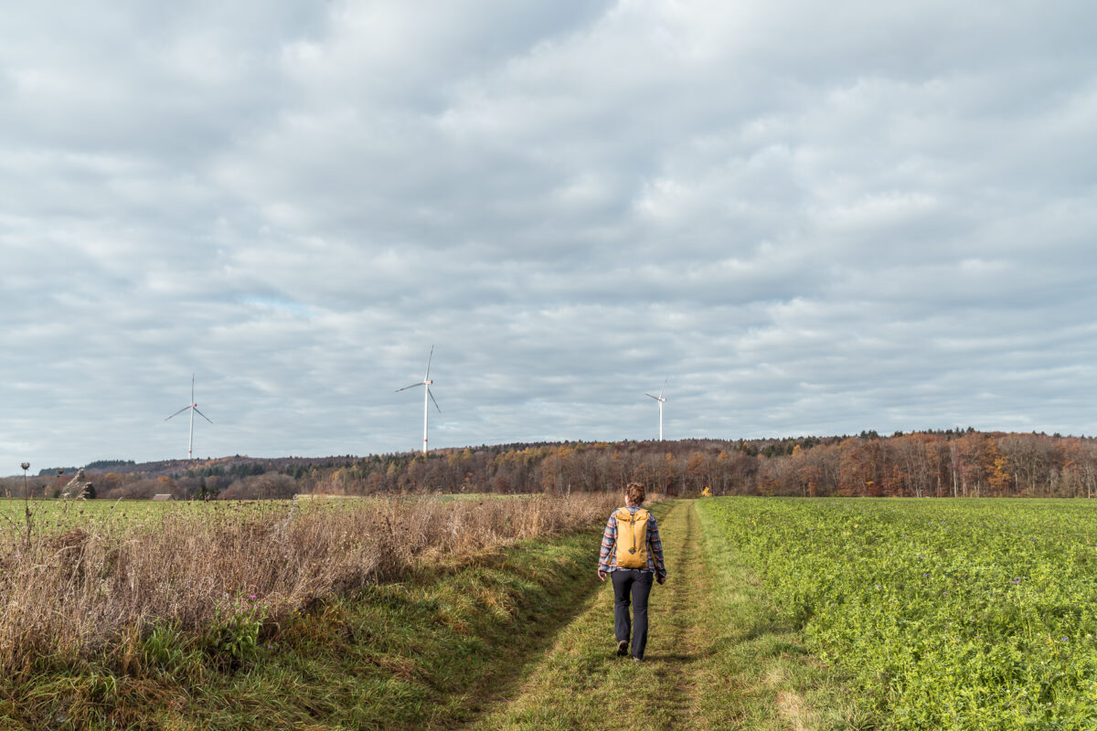
The best way to explore the region is on the approximately 19-kilometre-long Reiatweg. Starting and ending in Thayngen, it takes you around the compact yet surprisingly extensive and diverse region. Along the way, you can expect great vantage points with comfortable loungers, exciting stories about culture and nature and idyllic town centres with historic buildings.
Deciduous forests, wafts of mist and volcano views
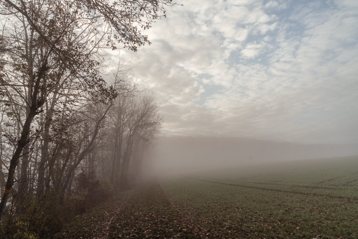
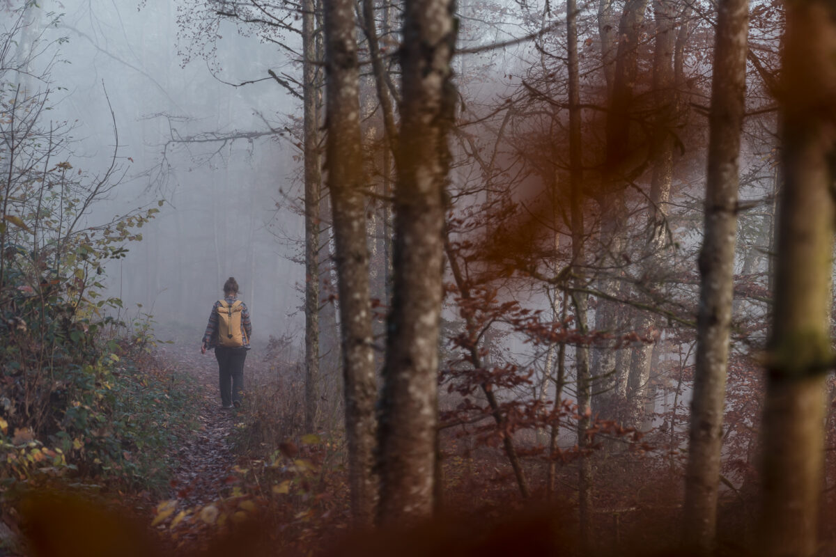
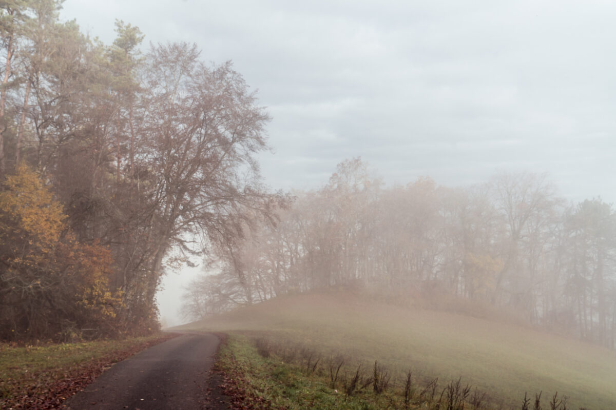
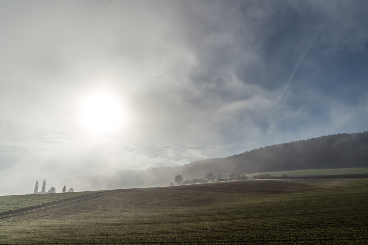
We weren’t quite sure whether the altitudes of the Reiat, enough to tackle the hike in the sunshine on this November morning. And luckily, we prepared ourselves for the fact that the fog might still have a firm grip on the villages of the Beaver Valley when we arrived at 8:00 am. Not a big deal. We start our hike at Thayngen train station. Aromat fans should not miss a visit to the factory shop in the former production building (now Unilever) (although it does not open until 11:30 a.m. and is therefore probably more likely to be visited on the way back).
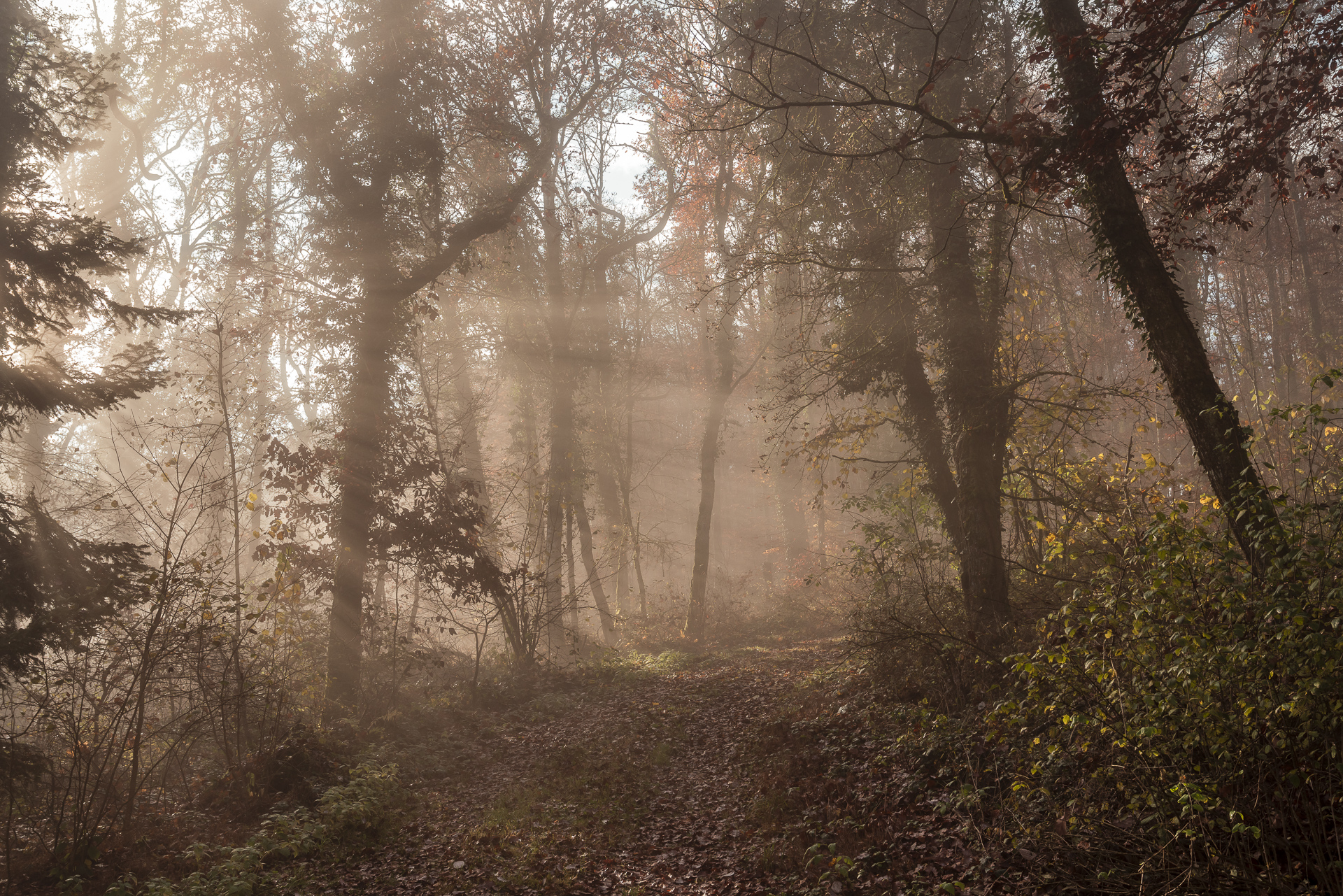
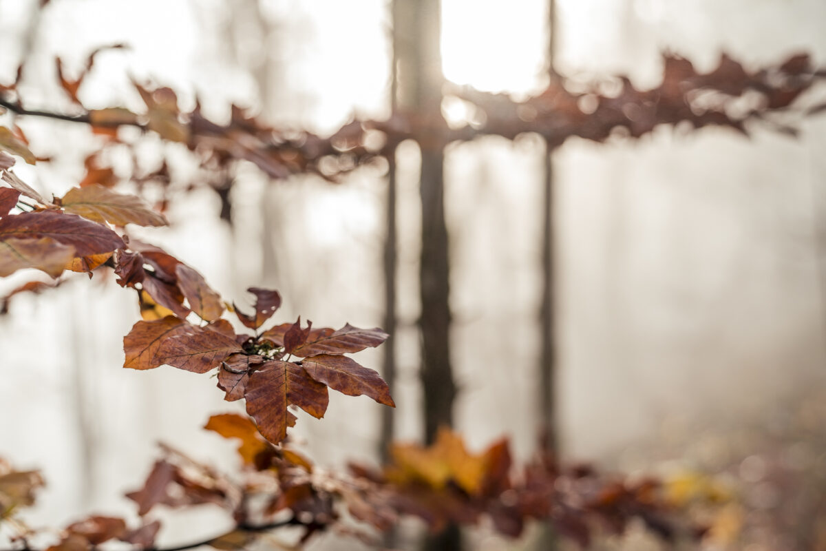
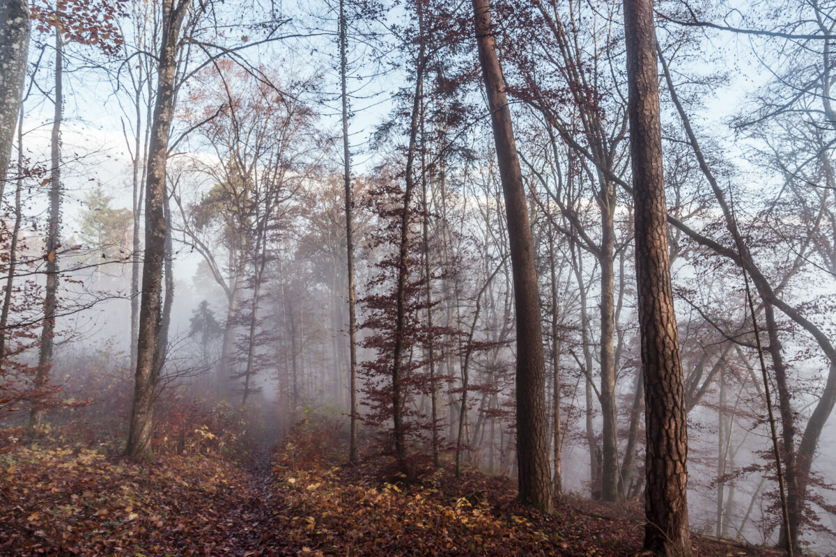
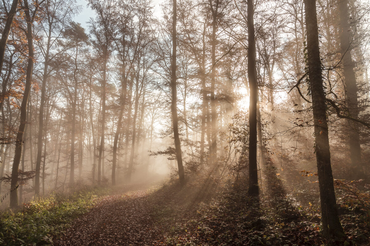
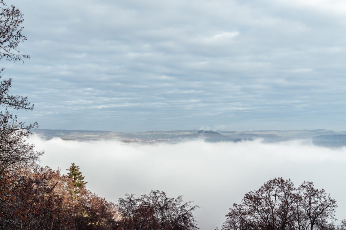
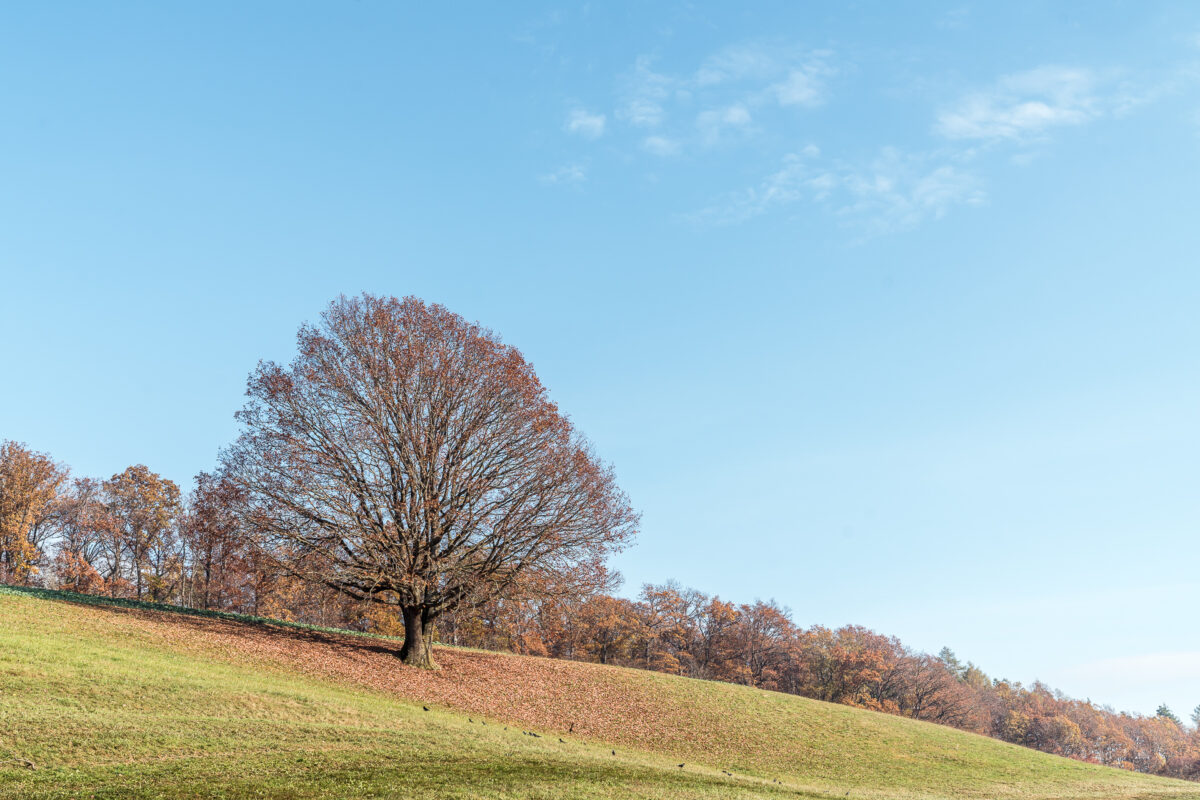
We follow a neighbourhood road to the district of Hüttenleben, where the official starting point of the Reiatweg is located. Here we leave the tarred road and follow a narrow forest path into the plateau of the “upper Reiat”. As already suspected three years ago, the autumnal garb suits the Schaffhausen Nature Park extremely well. Although the sun is still hiding behind the fog, the coloured leaves really light up the forest. And soon the difference in altitude between the valley floor in Thayngen and the plateau around “Oberholz” becomes noticeable. The fog clears or accumulates on the edge of the slope and then suddenly there is bright sunshine on one side and on the other side the cone volcanoes look teasingly out of the sea of fog.
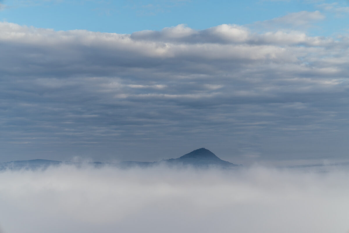
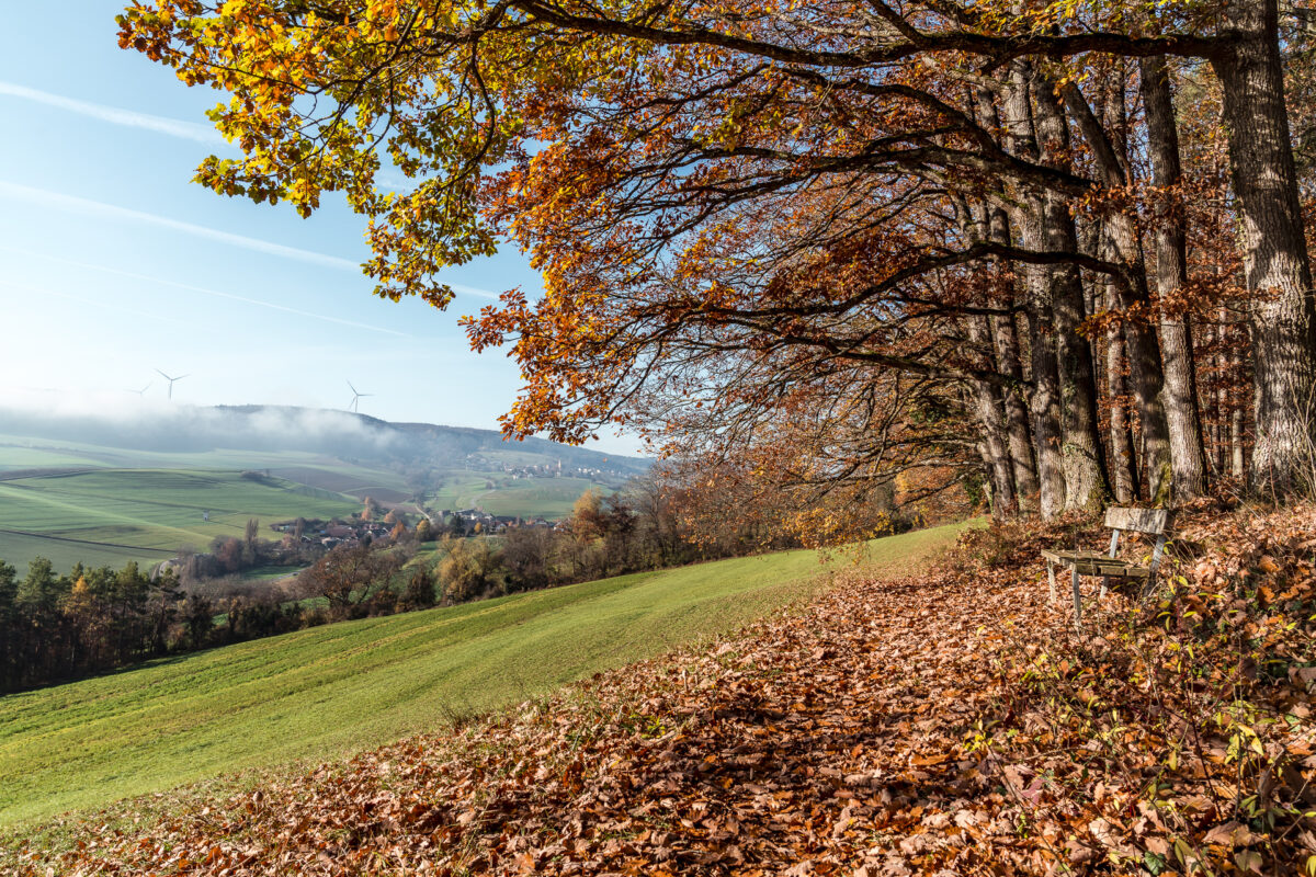
From the first vantage point with a view of the Hegau, the forest path leads in a varied up and down along the edge of the plateau to Opfertshofen. The first vantage point is followed by two more signposted “Känzeli” with panoramic views across to Germany. But on this morning, it’s not so much the beautiful view, but rather the play between sun and clouds that provides wow moments. Hiking so close to the high fog line has its special charms.
Beautiful vineyards and hidden border crossings
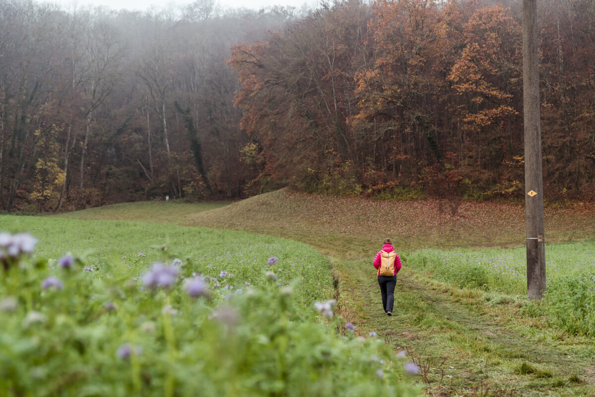
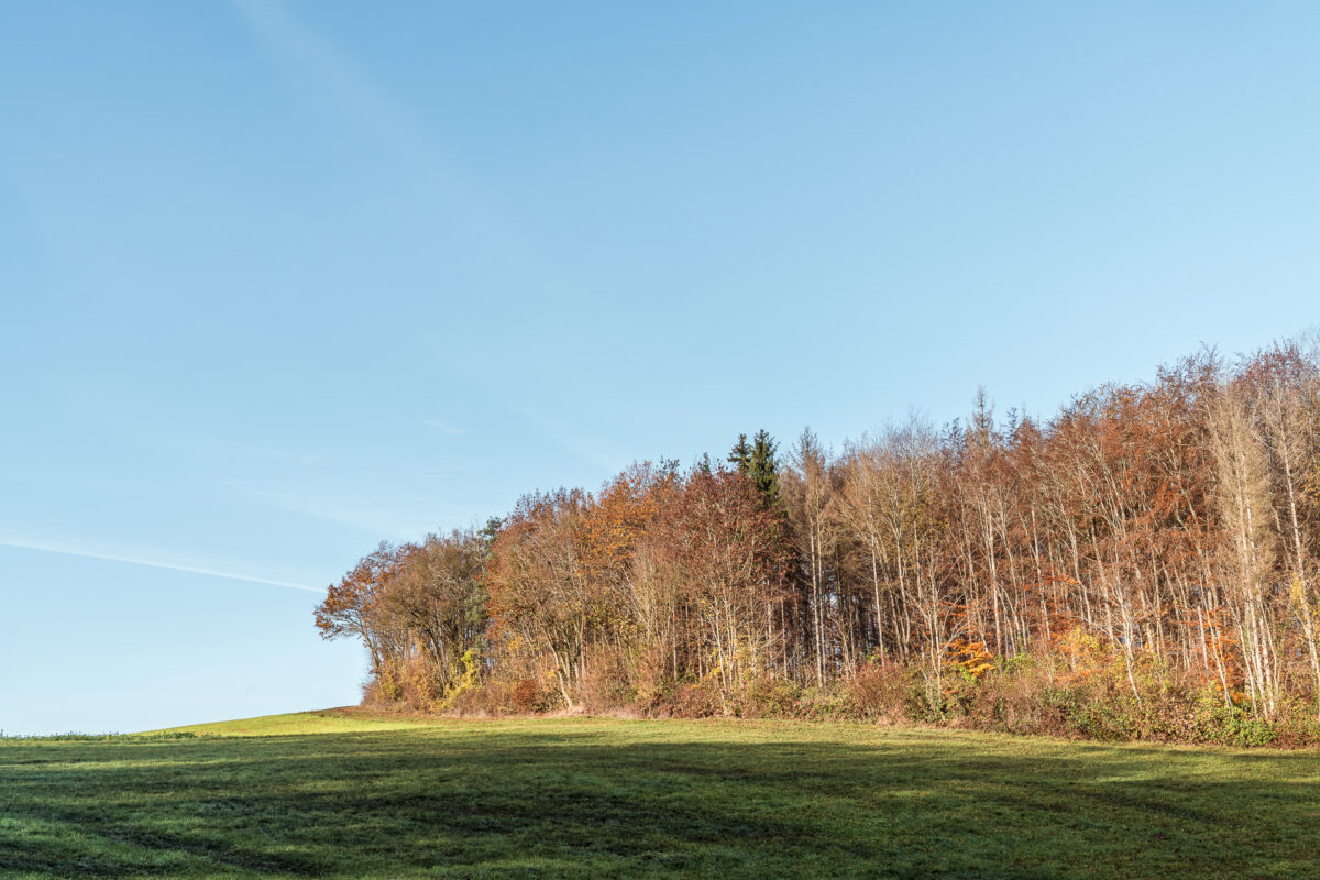
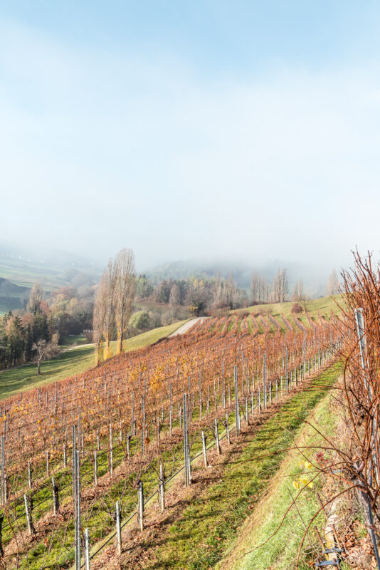
On the outskirts of Opfertshofen, the hiking trail leads past a restaurant (Reiatstube). Probably it was because of the foggy November day that it left a not too inviting impression on us. An eye-catcher, on the other hand, is the pretty church in the centre of Opfertshofen. While the first 5 kilometers were mostly in the forest, it now continues on dirt roads to the neighboring village of Altdorf. Here the hiking trail leads us through the northernmost vineyard in Switzerland up to the next hill. In the meantime, the fog has almost completely cleared and we enjoy the view over the hills of the Reiat.
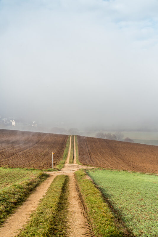
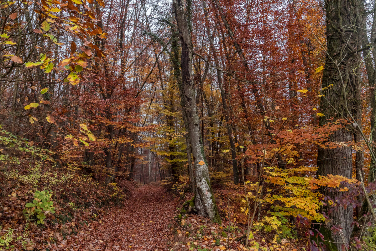
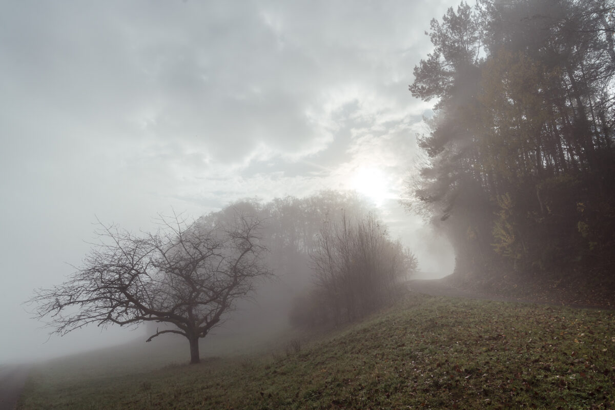
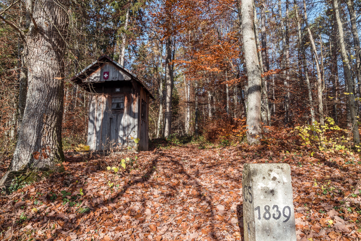
While the official Reiatweg makes an additional loop into the northernmost tip of the region (and thus also of Switzerland) at this point, we take a shortcut without further ado and head directly towards Hofen. The section of the path along the “lisehaalde” I find again “u beautiful”! Gnarled branches dangle from the forest – which is already on German territory – over to the slag heap meadows on the Swiss side. The path leads past an old border house and then leads us to a beautifully situated rest area.
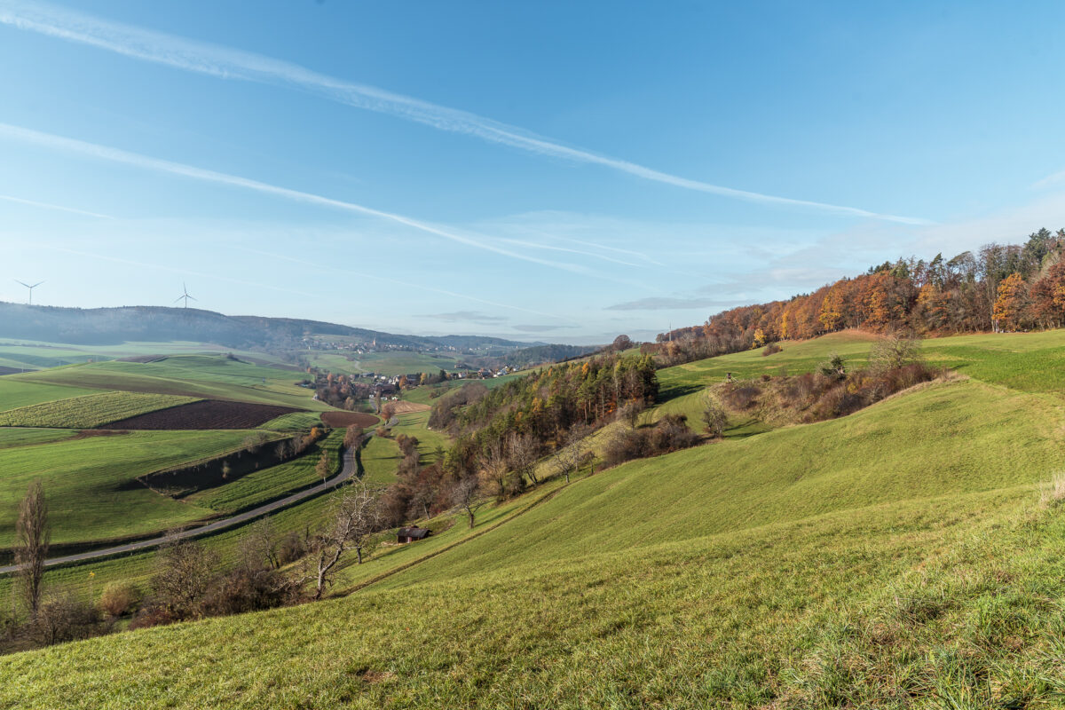
After so many promising kilometres, the route between Hofen and Bibern has a hard time. From here we can marvel at the volcanoes of the Hegau again, but unfortunately we are mostly guided along tarred roads. This admittedly somewhat boring “cheating” tempts us to end the circular hike in Bibern after a good four hours of hiking. Even without the last section, which leads the course of the river Biber back to Thayngen, an all-round successful – and also absolutely recommendable – hiking trip for us. The great thing about the Reiat is that, thanks to the altitude between 550 – 650 meters above sea level, the area is ideal for (fog-free) late autumn hikes.
Practical tips for your hike through the Reiat
The route of our tour along the Reiatweg from Thayngen to Bibern can be found on the following map. While the Reiatweg has a total distance of 19 kilometers (starting in Hüttenleben), we have completed a distance of a good 15 kilometers with our version. A hike along the Reiatweg can be designed very flexibly.
In all villages there are bus connections in the direction of Schaffhausen. The only thing to note is that the buses only run every hour and the timetable (departure times) varies depending on the time of day. Refreshment stops are available at certain points. Depending on the season/day of the week, however, it is more worthwhile to pack a picnic and plan a stop at one of the many beautiful rest areas. I can also recommend the detour to the farm shop of the Wagis Farm in Bibern. There you can buy various regional specialties as well as dairy and meat products directly from the farm.
Key data of the tour Thayngen – Altdorf SH – Bibern SH
| Starting point | Thayngen Railway Station |
| Length | 15.1 kilometers |
| Elevation gain | ↗ 497 m 473 m ↘ |
| Duration | 4:00 p.m. |
| Destination | Bus stop Bibern |


Leave a Reply