

Well-hidden Risletenschlucht: cooling off on Lake Lucerne
Advertisement: this article was created in collaboration with Passepartout
Hissing and gurgling, the Choltalbach stream finds its way from Emmetten down to Lake Lucerne. Over the millennia, the last unspoilt torrent in the canton of Nidwalden has dug deep into the rock, helping to form the “Risleten Gorge”. And although the Choltalbach stream flows spectacularly into Lake Lucerne via several cascades of waterfalls, this place enjoys “insider tip status”. Maybe it’s because it’s an unnamed waterfall. Or maybe the narrow gorge simply protects the Risleten Gorge from overly curious glances on the passing ships.
Be that as it may, the Risleten Gorge contains all the components for a varied hike; an untamed torrent, shady resting places and a fantastic panorama over Lake Lucerne.
[alert color=”FFFFFF” icon=”Select an Icon” title=”Unknown corners of Central Switzerland“]
This year, in cooperation with the Central Swiss fare network Passepartout, I present you four great excursion destinations in the cantons of Lucerne, Obwalden and Nidwalden, which are located away from the tourist hotspots and can be easily reached by train and bus. After the snowshoe tour in the Glaubenberg and the hike along the Entlebuch moorland path to the Schwandalp Kneipp pond, my third excursion tip in this series takes you to the hidden Risleten Gorge on Lake Lucerne
[/alert]
From Beckenried to the Risleten Gorge
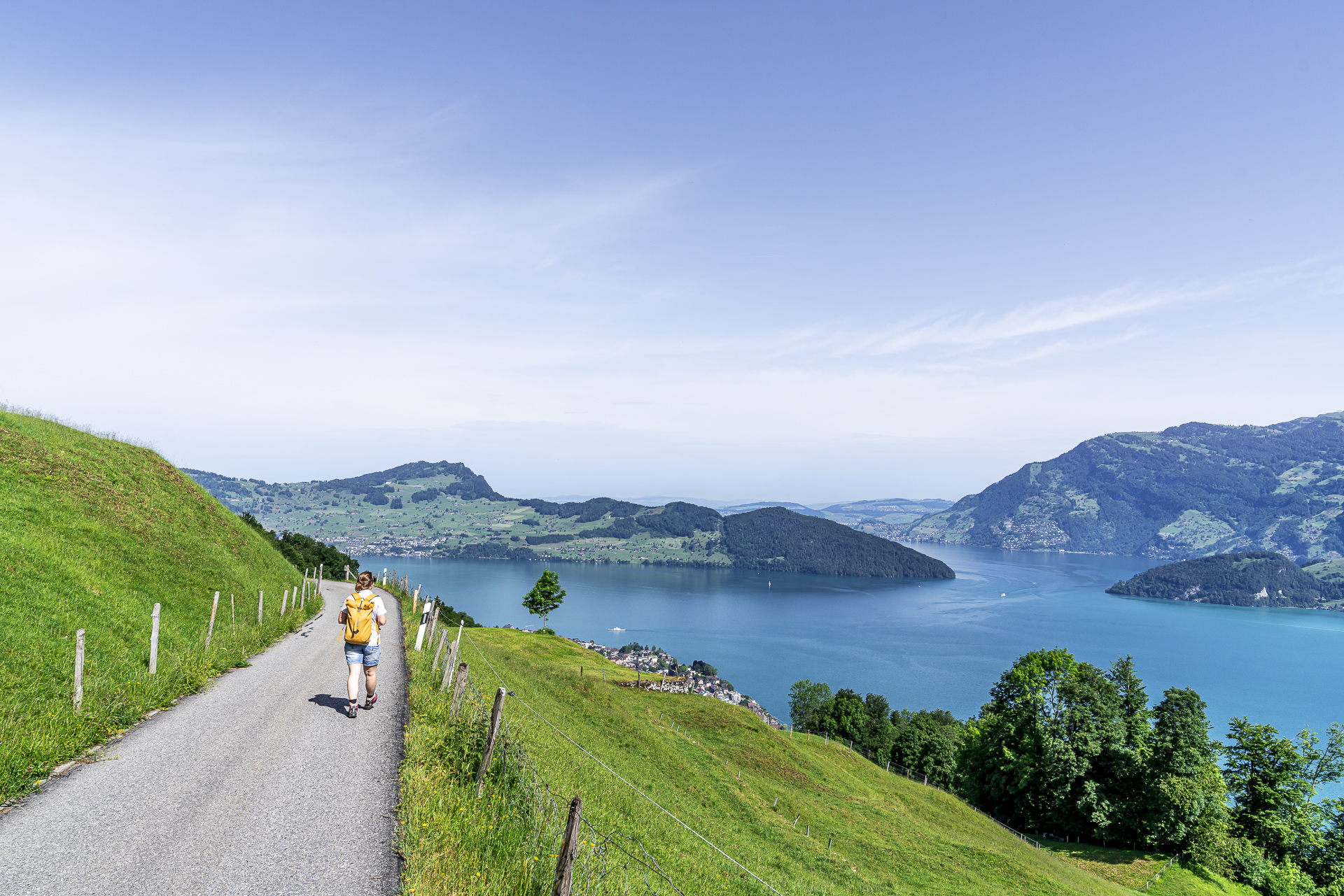
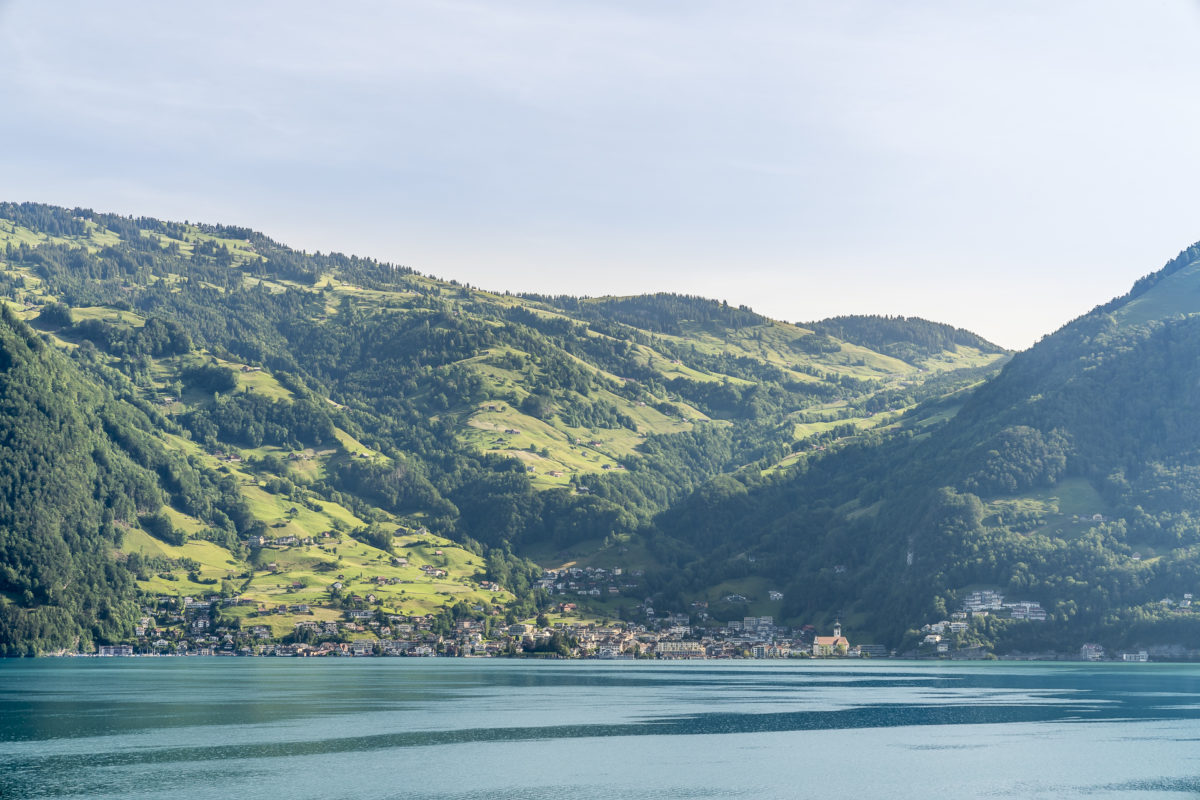
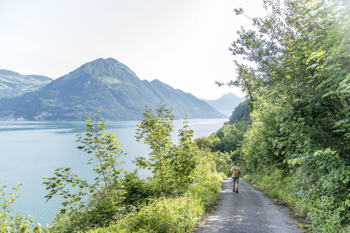
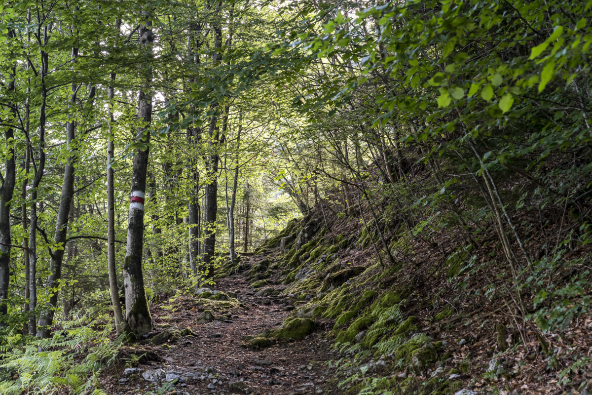
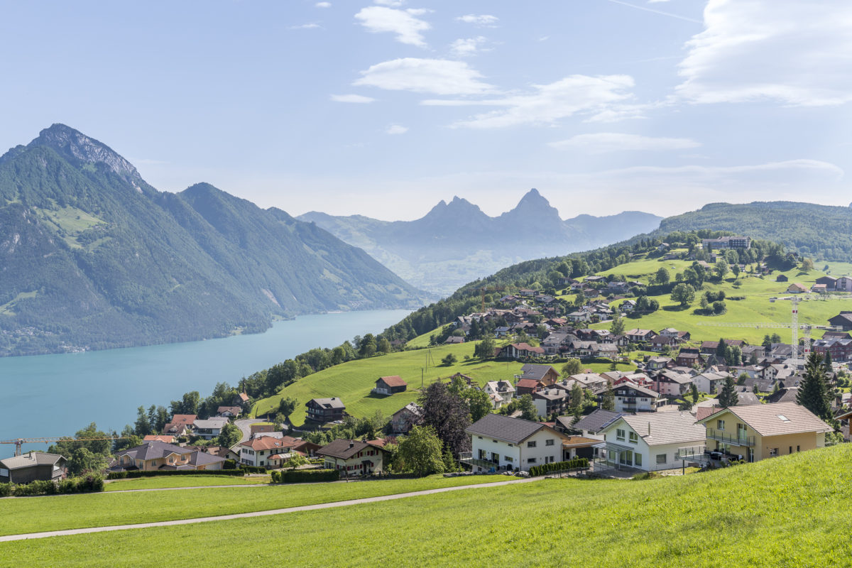
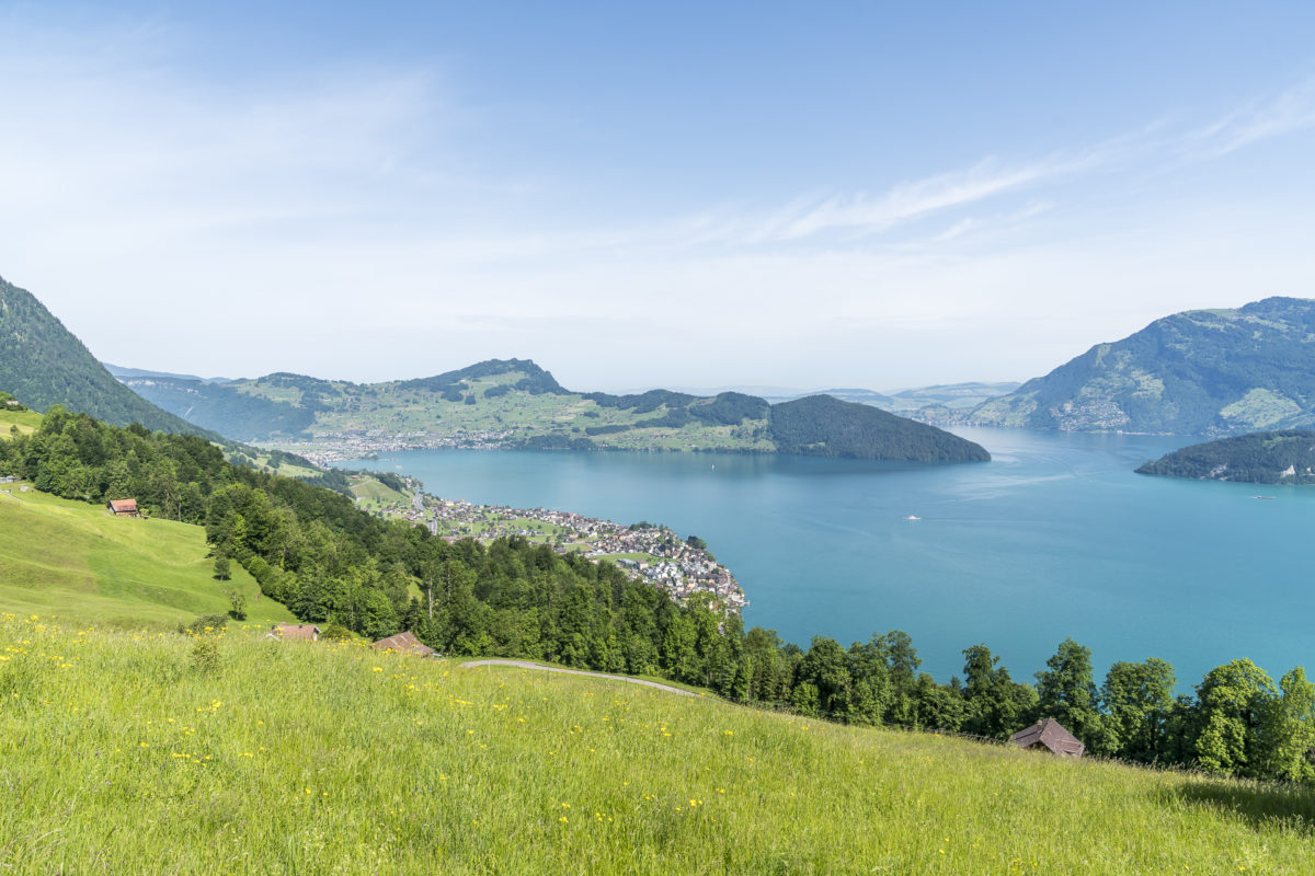
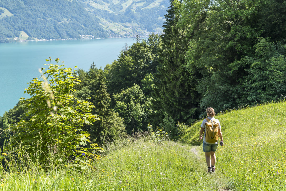
The starting point for our hike is the village centre of Beckenried, which we reach from Lucerne via Stans in just under forty minutes. The hiking trail first leads along the waterfront promenade and then follows a neighborhood road in the direction of Rütenen. The path in this section is not very spectacular, but the view of the opposite shore of Lake Lucerne, which shines in umpteen shades of green from the lake to the summit peaks, is all the more impressive. Shortly after the Rütenen picnic and bathing area, the hiking trail turns onto a nature trail. We follow the path through a sparse riverside forest to the Risleten.

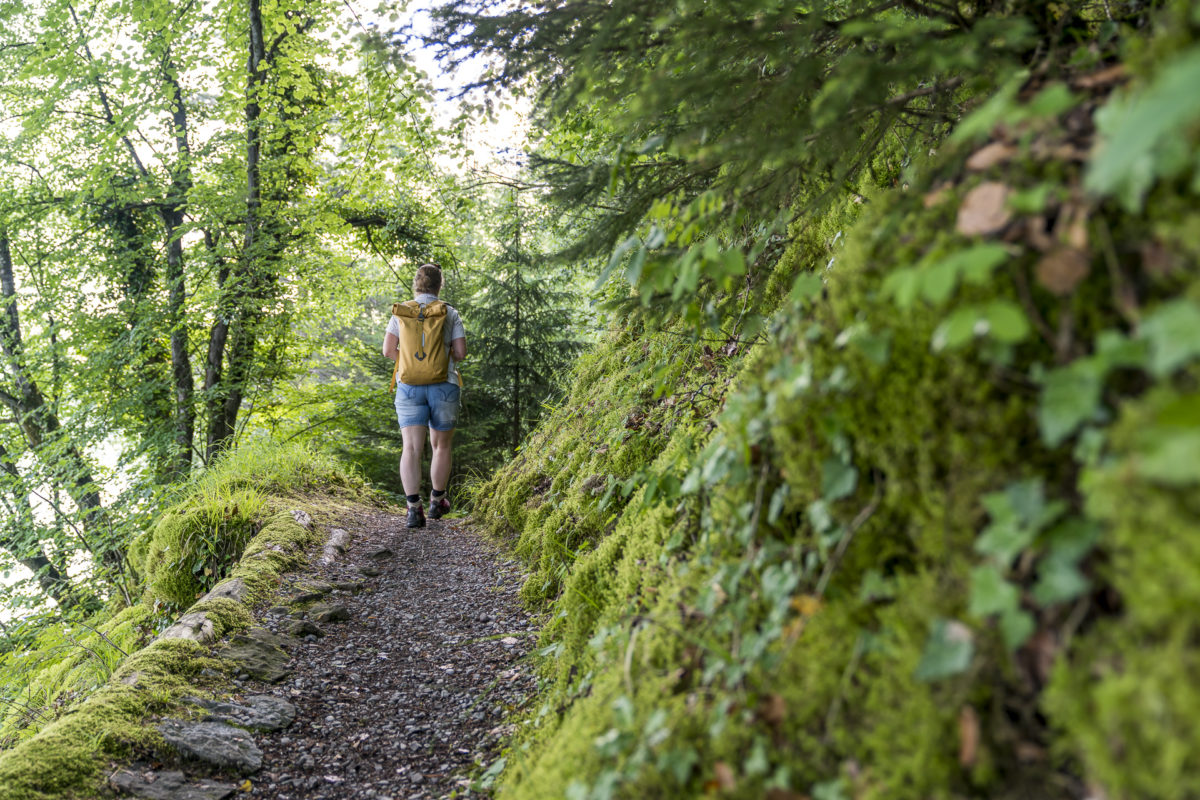
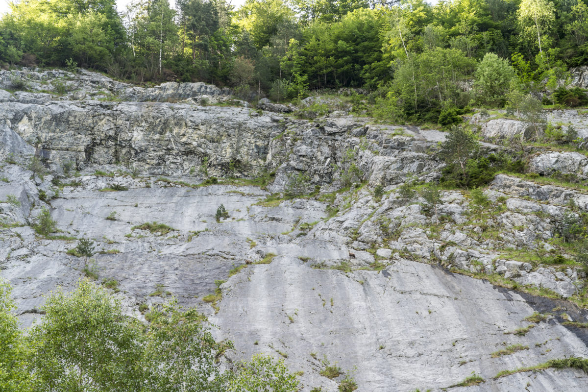
Here we are greeted by a smoothed rock face and the quiet murmur of water that finds its way down into the valley. The waterfall itself is still hidden behind a rocky outcrop. On the other hand, we discover a group of chamois high above us in the rocks, which have retreated to this shady spot. I’m annoyed that we didn’t pack binoculars or zoom lenses, but I didn’t expect to meet the cheeky four-legged friends so close to Lake Lucerne.
Due to its north-facing orientation, the Risleten climbing rock is in the shade for a long time and is therefore a popular summer climbing meeting point. Theoretically, dinosaur tracks can also be discovered here – but this probably requires a trained eye. At least I can’t locate them. Right next to the trail there is a fire pit with wood – an ideal place for a summer picnic.
Varied gorge trail
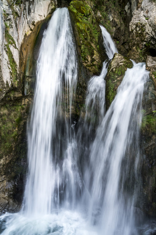
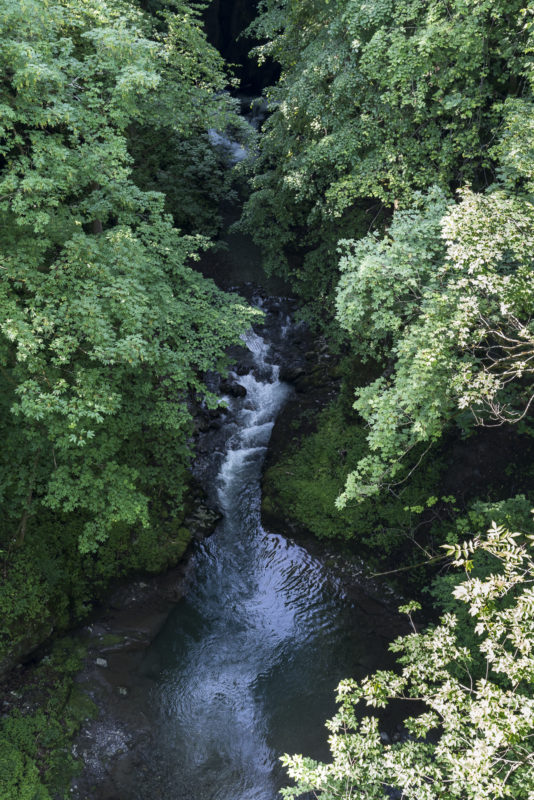
But it is still too early for us to take a break at this point. We started early and had only been on the road for about an hour. Let’s go on – the thundering Choltalbach leads us the way. And then finally! Behind a rocky outcrop, we can see the three strands of water plunging over the rock into the lake. The snowmelt has reached its peak and accordingly we are not spared from the water on the Brückli. But the spray is a welcome refreshment on this beautiful summer day. From this lower step, the gorge path winds steeply up the slope along the stream. Shortly before we cross the stream for the second time, the Waldstätterweg turns left.
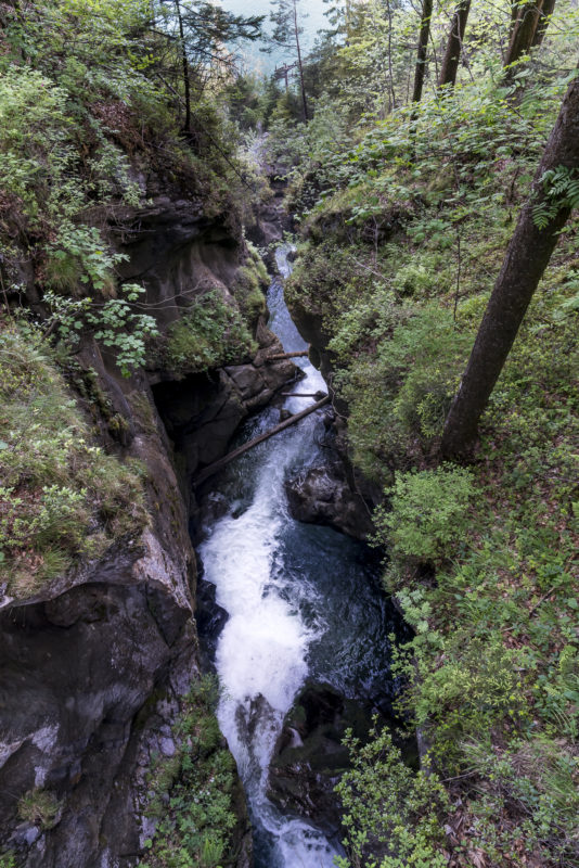
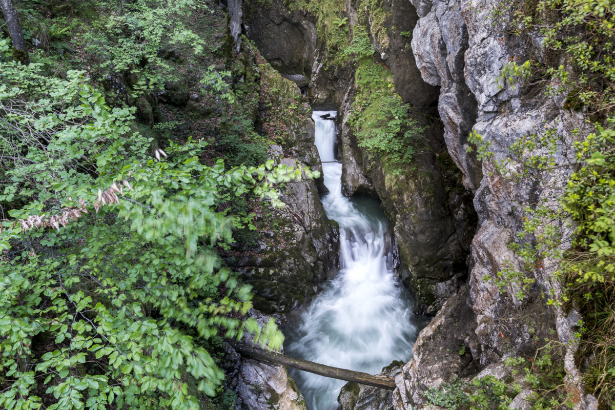
But we follow the gorge path further uphill. We only get as close to the Choltalbach as we do at the entrance to the gorge at the end of the gorge path. In between, the loud murmur of the stream is almost swallowed up by the deeply cut gorge. Even though the climb in this section is tough and we manage 300 meters of altitude in less than a kilometer, hiking on this shady, narrow forest path is fun. Even on really hot summer days, you are protected from the burning sun here.
The ascent is followed by the panorama
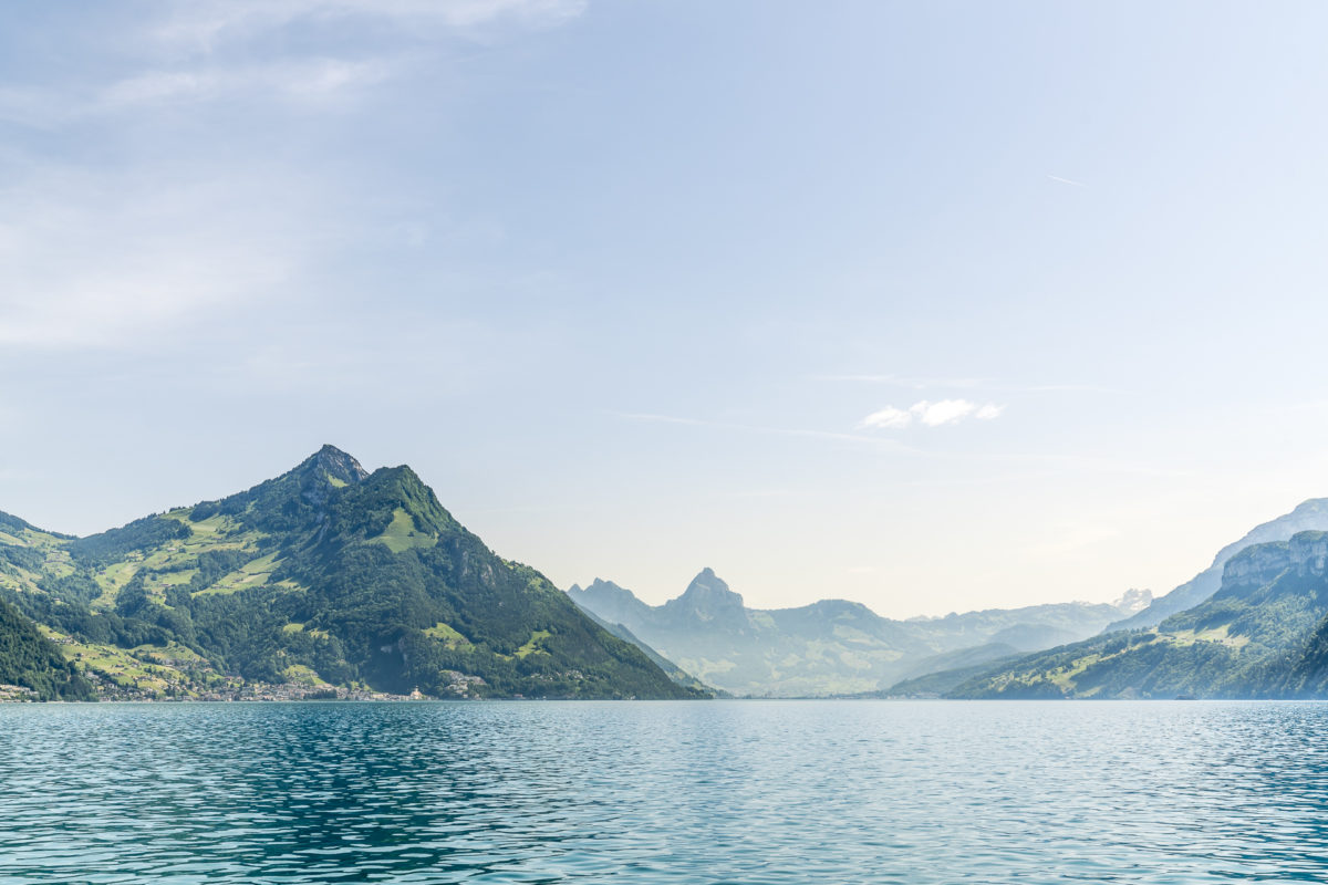
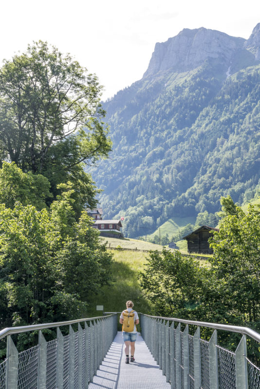
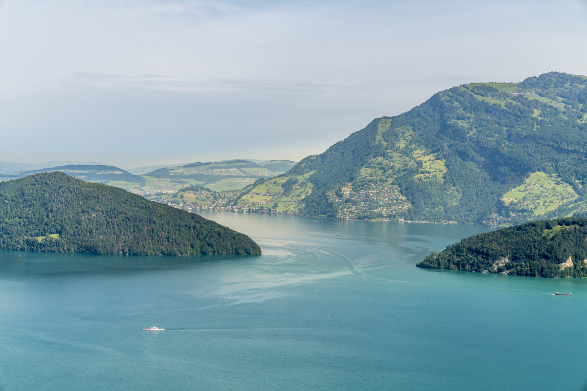
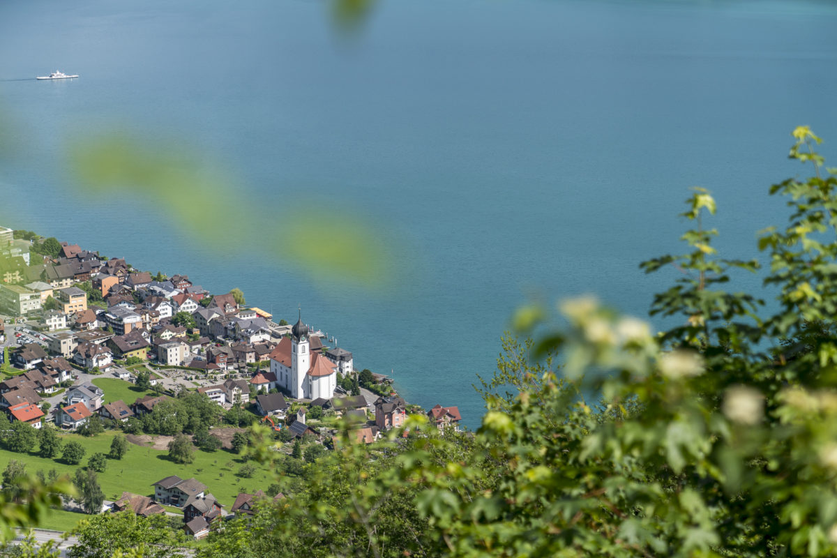
Shortly before Sagendorf there is a last view of the Choltalbach from the gorge bridge, which flows comparatively tamely here. Afterwards, the hiking trail leads us across Emmetten. At the Emmetten valley station, we have the choice between two trail options; either downhill in the direction of Rütenen, or following the contour lines along the Ischenberg. We opt for the latter and are rewarded with a fantastic panorama from the myths over the Rigi to the Bürgenstock. Great! The only downside, the hiking trail runs continuously on a tarred road in this section. Only at the end of the high trail does a nature trail follow again. The descent down to Beckenried is entertaining and also offers one or two beautiful distant and deep views.
Back in Beckenried, we agree: a great, varied tour, which is also easy to do with children or as a leisurely “Sunday round”. Only the ascent through the Risleten Gorge demands a bit of “Pfuus” – but it’s definitely worth it!
Practical tips for the Risleten Gorge circular hike
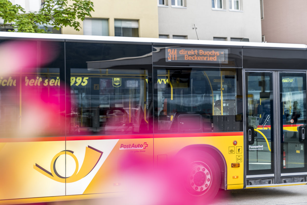
The route of our hike from Beckenried to the Risleten Gorge and on via Emmetten back to Beckenried can be found on the following map. The first third of the hiking trail runs along the Waldstätterweg, which leads from Beckenried to Rütli. The circular hike has a distance of a good 12 kilometres. A total of 600 metres in altitude have to be overcome, the majority of which occurs in the area of the gorge path. The pure hiking time is around 3.5 – 4 hours (depending on how fast you master the gorge path). The start and end point of the hike in Beckenried can be reached by post bus from Stans train station.
Alternatively, you can follow the signposted Trans Swiss Trail (stage 19, Stans – Seelisberg) in the Risleten Gorge to Seelisberg. There, the natural swimming pool at the Seelisberger Seeli invites you to take a refreshing swim. From here you can also take the post bus back to Beckenried, or Stans.
Hike Beckenried – Risleten Gorge: Key data of our tour
| Starting point | Bus stop Beckenried, Post Office |
| Length | 12.2 kilometers |
| Elevation gain | ↗ 612 m 612 m ↘ |
| Duration | 4:00 p.m. |
| Destination | Bus stop Beckenried, Post Office |

Leave a Reply