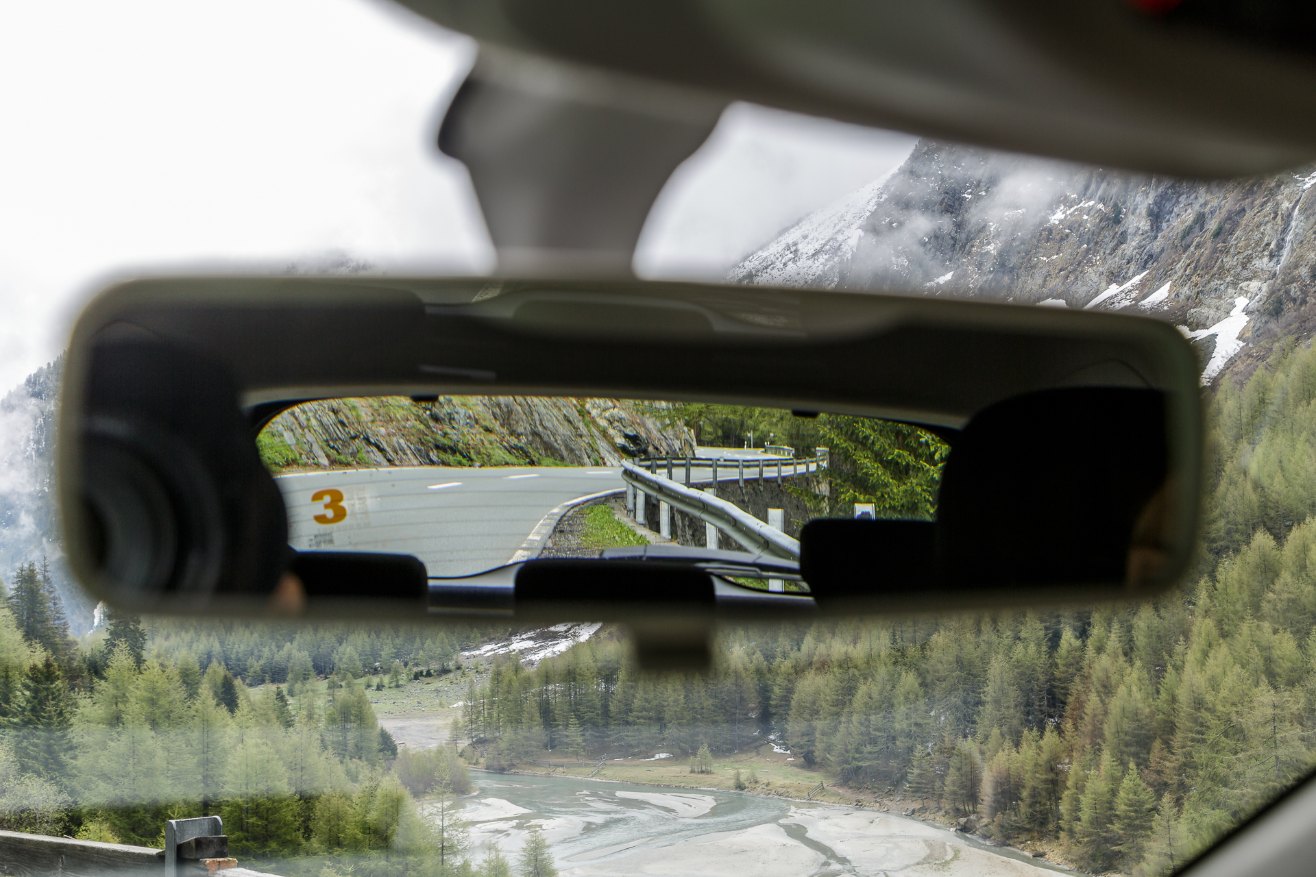
Road trip Switzerland – Beautiful car route in Switzerland
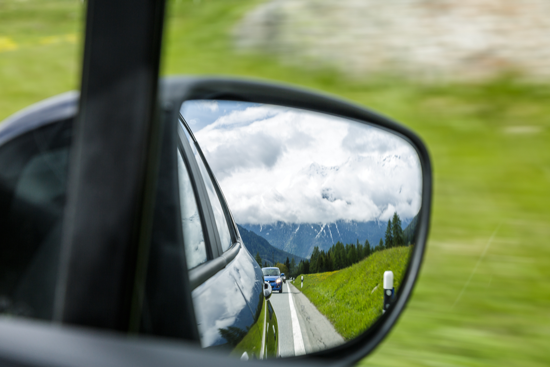
The mail from Avis reached me just at the moment when I clicked through umpteen car rental sites for our Mallorca trip. “Which is the best road in the world?” asked Avis and, with the help of three experts (racetrack designers, roller coaster designers and scientists), developed a formula that looks quite complicated and answers this question. According to this formula, the route from Peso da Régua to Pinhão in Portugal comes in first place, the silver medal goes to the USA with Highway 1 from Castroville to Big Sur and third place goes to Great Britain with the A535 from Holmes Chapel to Alderley Edge. Narrowly missing the podium in fourth place is Switzerland. According to Avis, the most beautiful route in our country leads from Davos over the Flüela Pass to Susch. “Would I like to test this track?” asked Avis. Now loyal blog readers know that for me, driving is actually more of a means to an end and that I rarely travel by car, especially in Switzerland. On the other hand, I got infected with the road trip virus a tiny bit this year in Canada on the Icefields Parkway and also learned to appreciate the advantages of being on the road by car in Mallorca. In addition, Switzerland Tourism launched the Grand Tour of Switzerland this spring, which also focuses on the topic of road trips. The Flüela Pass is a sub-stage of the Grand Tour Route.
Just driving up and down the Flüela Pass, that would have been too boring for me. And so I planned a three-day road trip through the Grisons starting from the Flüela Pass with the aim of finally being able to stop in peace wherever a photo motif smiles at us. When choosing the route, I deliberately chose two additional passes that were “forgotten” on the Grand Tour.
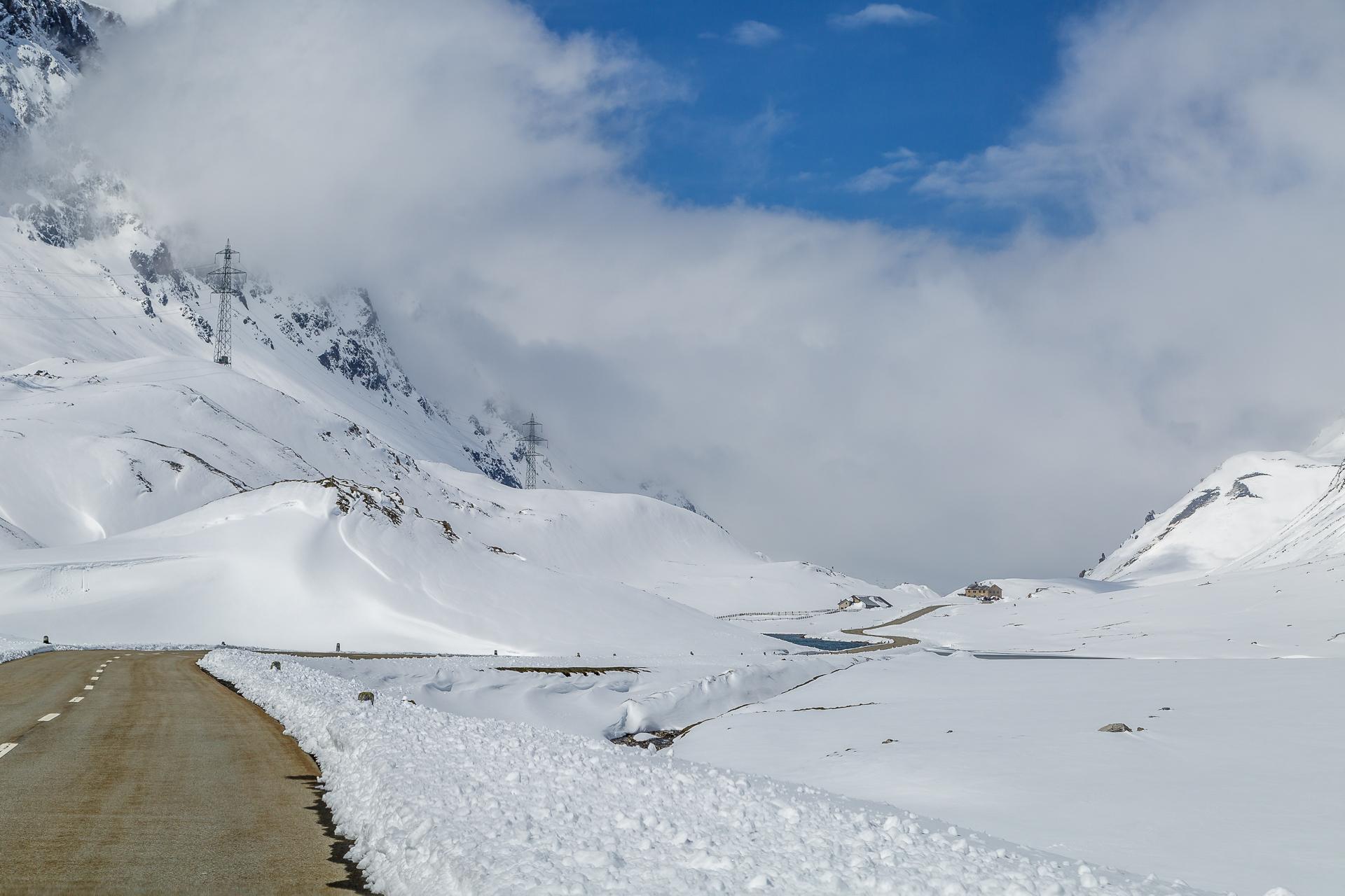
But shortly before the trip, everything suddenly looked like my route was going to fall into the water. Due to the cold spell before Pentecost, the Flüela Pass was closed again. Well. As an alternative, we considered the Julier Pass, but we kept our fingers crossed for the thaw.
Start of the road trip through Switzerland in Chur
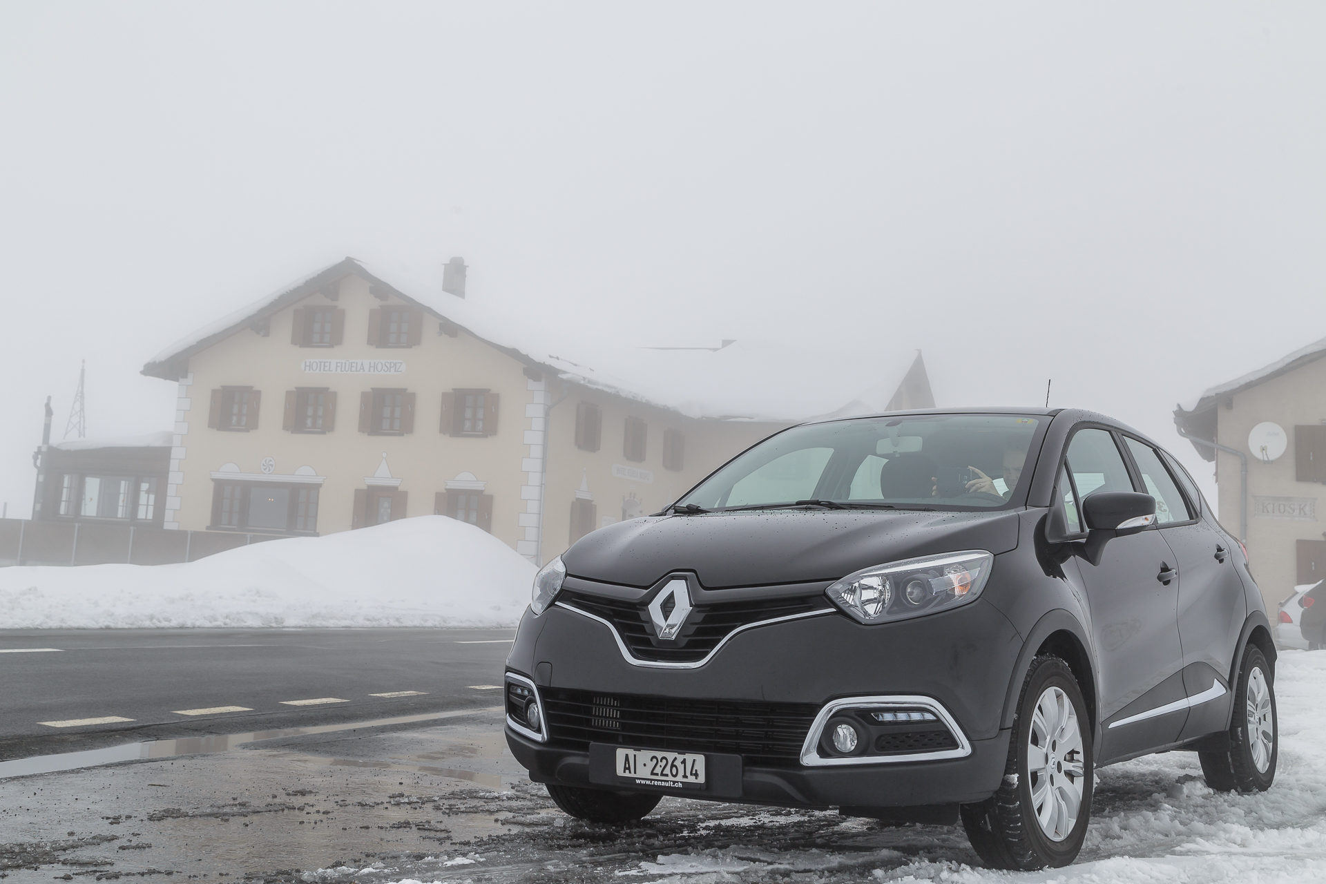
On Pentecost Saturday, the time had come. Until we reached Chur, we stuck to the tried and tested means of transport – the train. We had chosen Chur as our rental station – much more relaxed than if I had had to share the motorway from Zurich to Chur with all the holiday traffic. In Chur, I was provided with a category F (automatic) vehicle specially equipped with winter tires and snow chains. So far everything is perfect! After a three-quarters of an hour delay due to a Switzerland-wide problem in Avis’ booking software, we were able to start our Swiss road trip adventure. And since the lack of friendliness is often criticized in our country, I would like to emphasize at this point the top friendly service of the gentleman, who was in charge of the Avis station in Chur on this day!
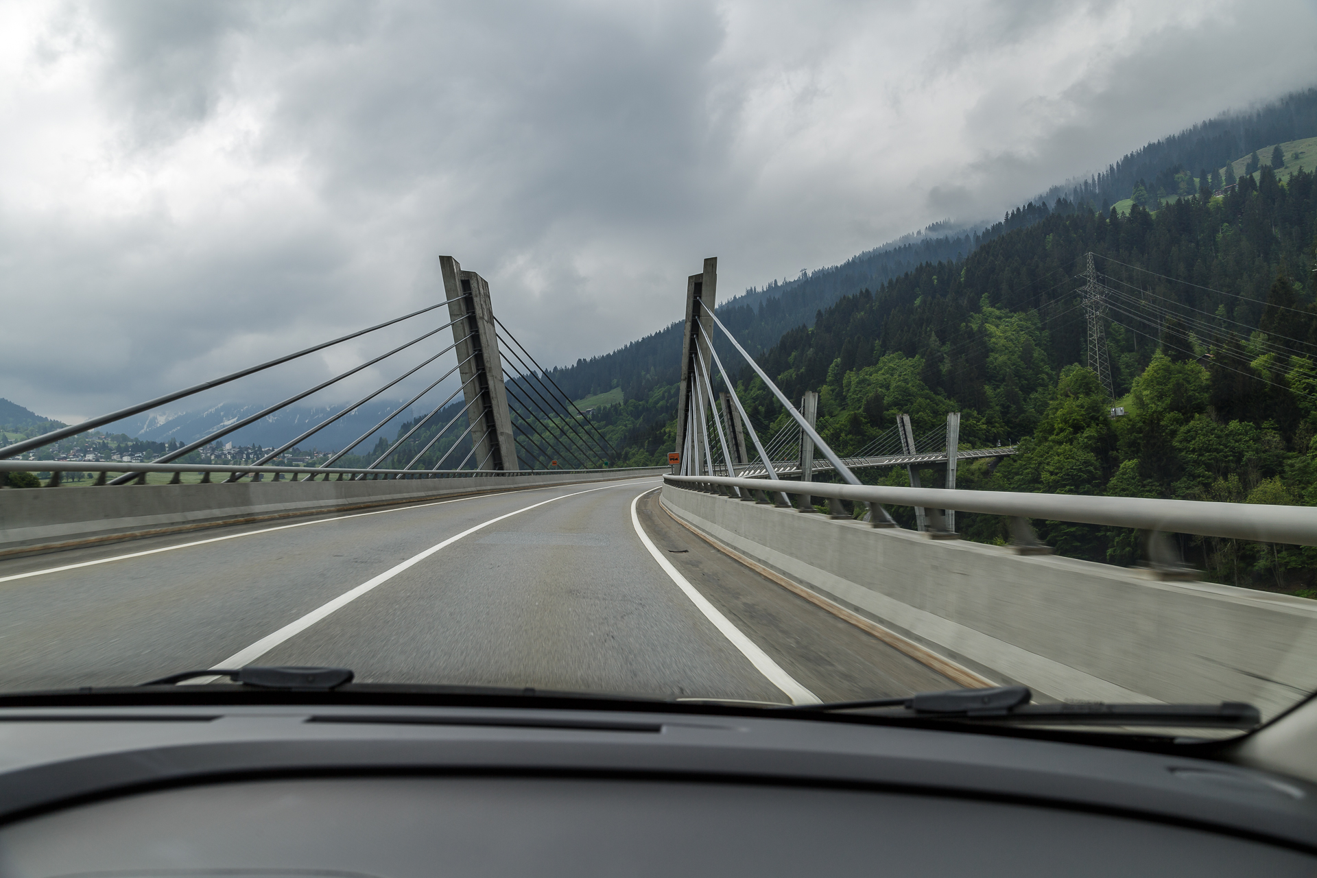
The first stage of the route took us from Chur to Landquart and then through the Prättigau to the Alpine town of Davos. A route that I already know inside out from the train’s perspective. For the first time, I was not only allowed to marvel at the filigree Sunnigberg Bridge through the train window, but also to drive on it myself. When we arrived in Davos, we took refuge in the wellness area of the Hotel Seehof after a short detour to the Sertig Valley. In rainy weather, it is much more pleasant than wandering around in the countryside for hours. Overall, a relaxed day on which I was able to make friends with the Renault. The good news followed in the evening: the Flüela Pass was reopened to car traffic. So nothing stood in the way of the test drive of the top track.
The Flüela Pass – The parade route in the fog
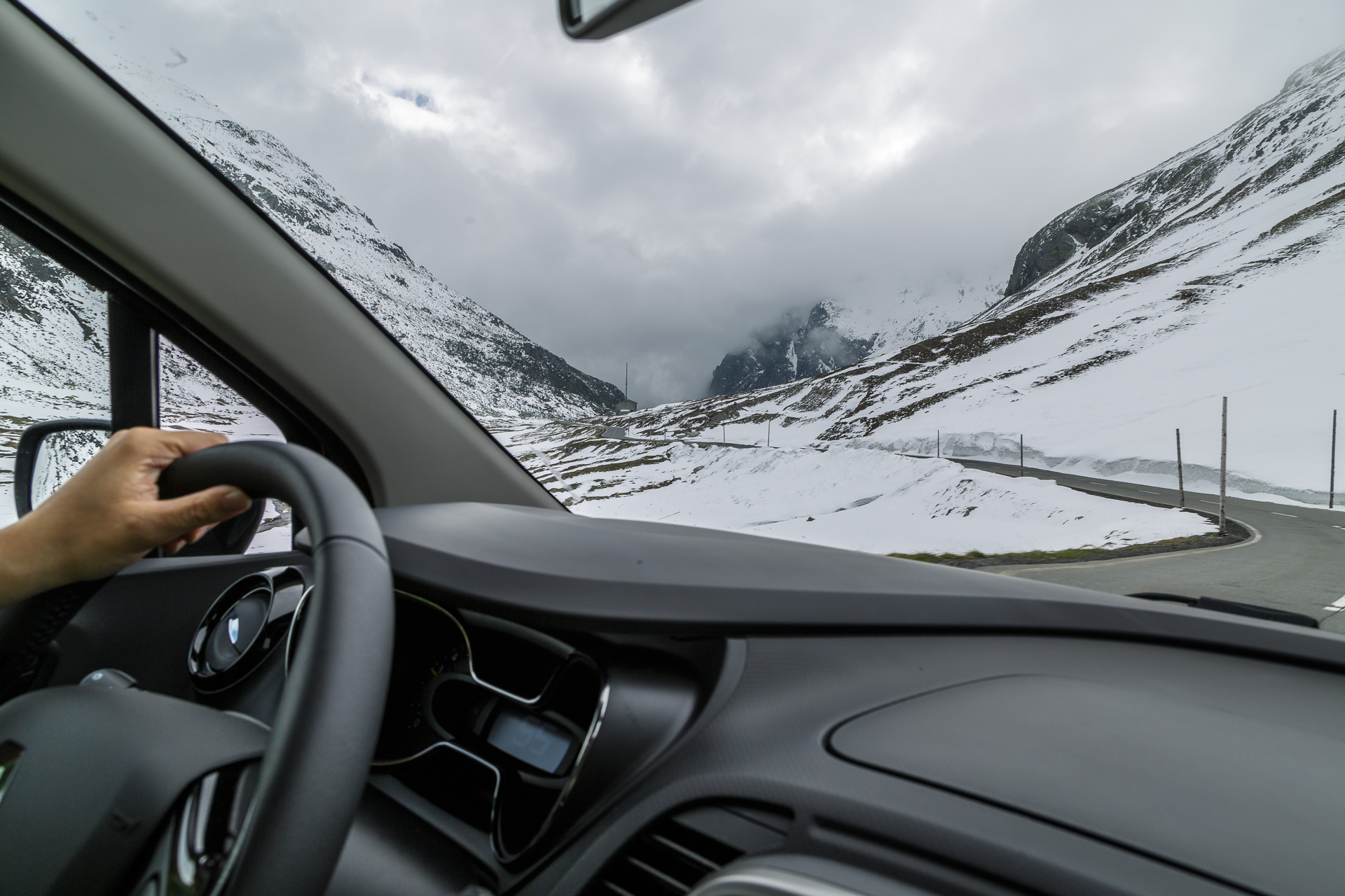
On Pentecost Sunday, we get up early. Actually, we wanted to be on the Flüela Pass at sunrise – something we definitely couldn’t do with public transport – but discarded this idea when looking out of the window due to the still cloudy sky. On this day, Switzerland’s top route defiantly hides its scenic beauty behind a blanket of fog and demands my fullest concentration. The curves would be one thing, but the curves AND fog – oh my!
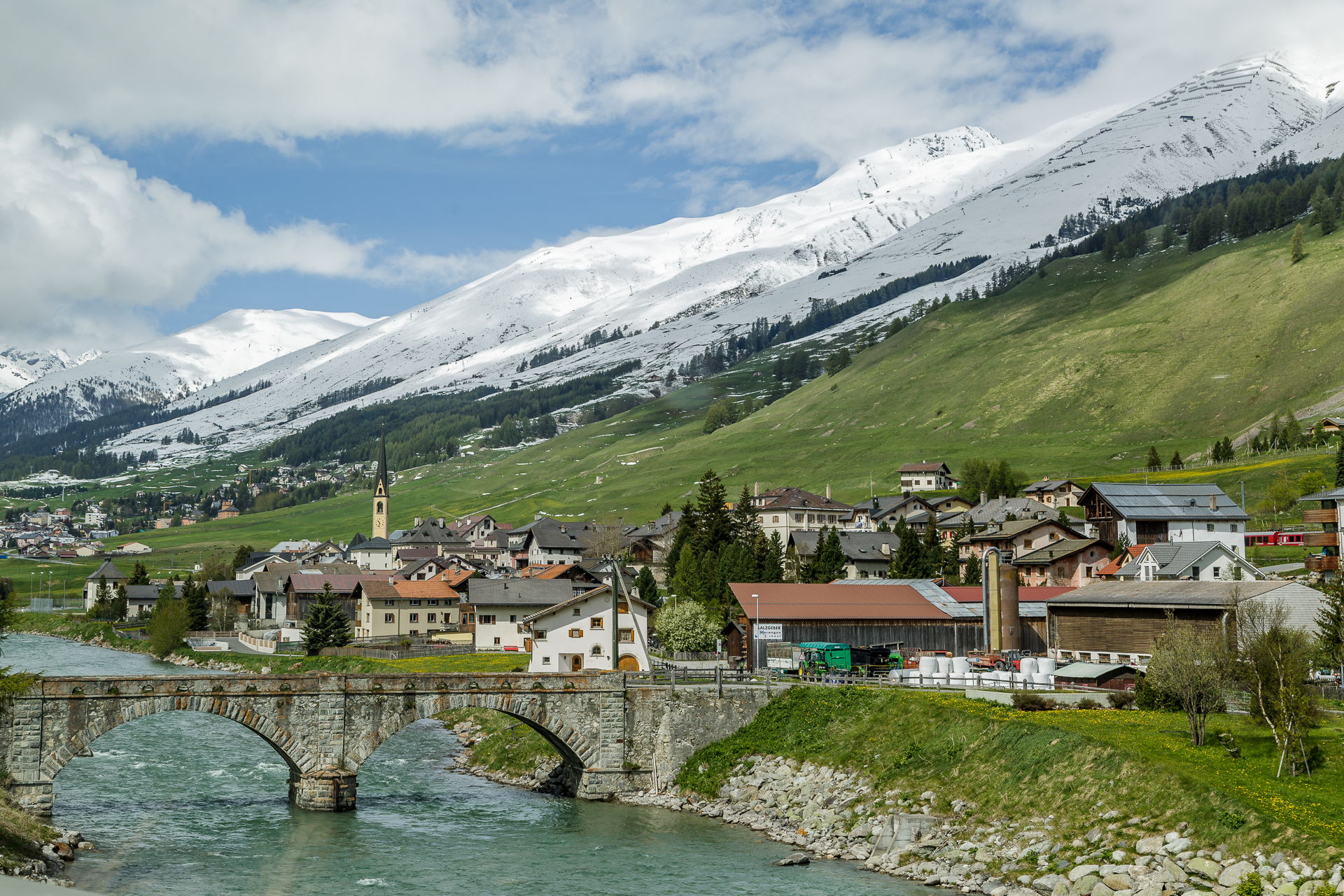
As soon as we have left the top of the pass behind us, the weather gets better with every kilometer and shortly before Susch in the Engadine we see the first rays of sunshine. I can well imagine that the Flüela Pass leads through a fantastic landscape when the weather is nice and is interesting to drive. It is also designed in such a way that it is possible to cross two passenger cars anywhere without any problems. In these nasty weather conditions, however, the driving pleasure falls by the wayside a bit.
Detour to the Albula Pass
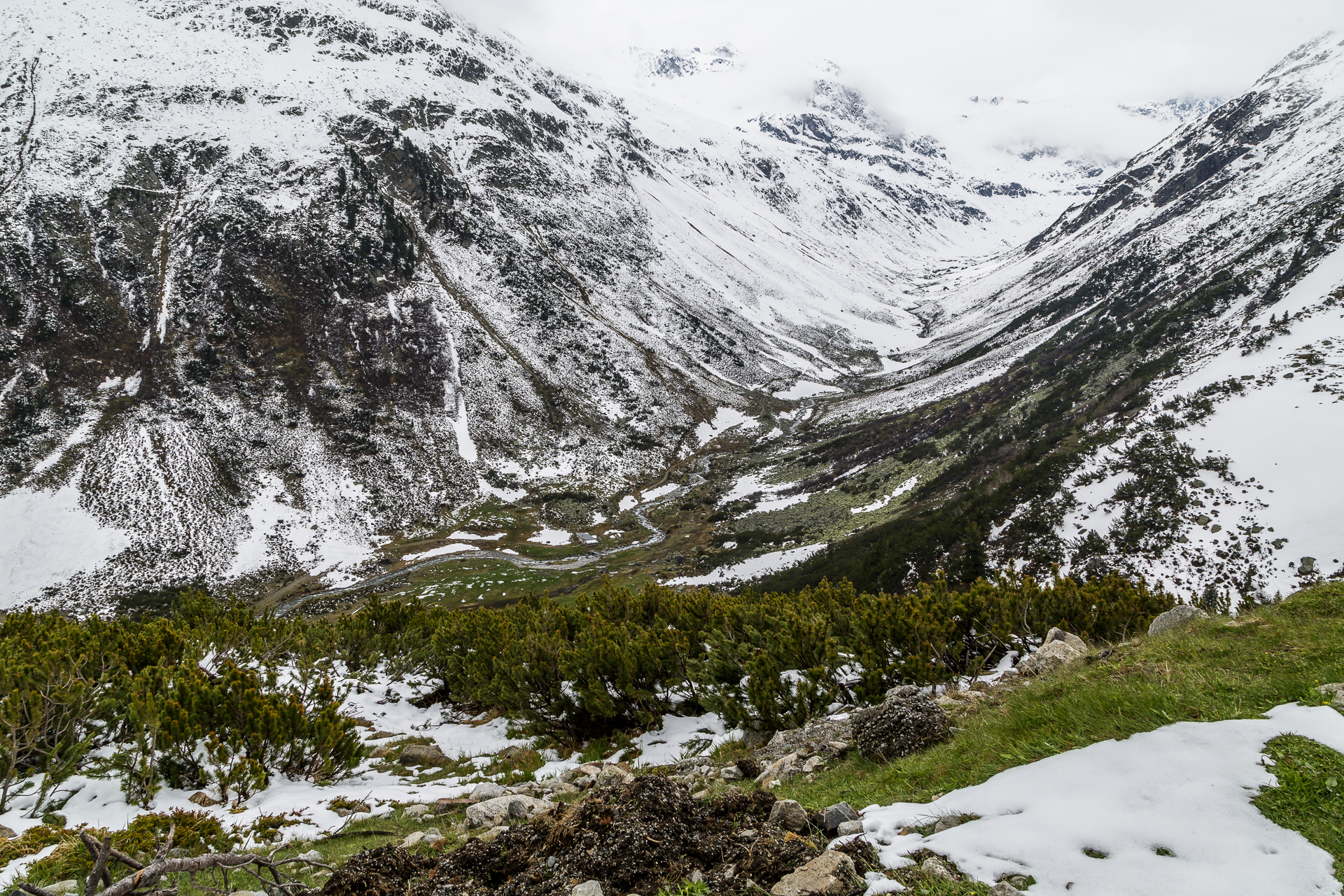
Since the weather is improving quickly, we spontaneously decide to make a detour to the Albula Pass. The pass road leads from La Punt Chamues-ch in steep serpentines in a northerly direction. In contrast to the Flüela Pass, crossing the Albula Pass is only possible with evasion in most places. Quick reaction and braking, as well as an appropriate driving speed, are required. On the other hand, the landscape here is inspiring! In the meantime, I feel like I’ve been transported back to Canada for a moment and can hardly resist a blissful grin. What a difference a little sunshine can make… However, the Lai da Palpuogna shortly before Preda is still completely in winter garb. It is always astonishing how persistent winter can be in the mountains.
Over the Maloja into Bregaglia
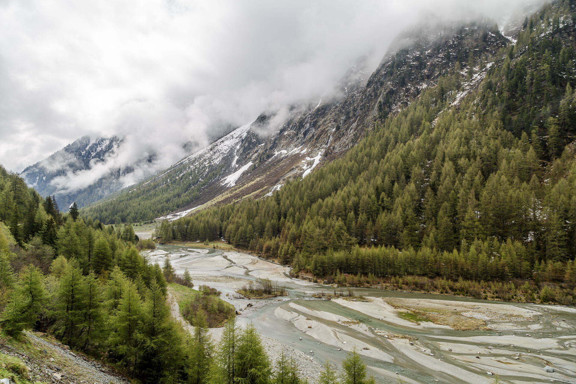
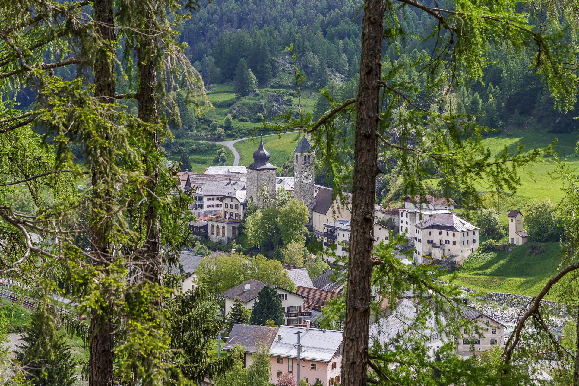
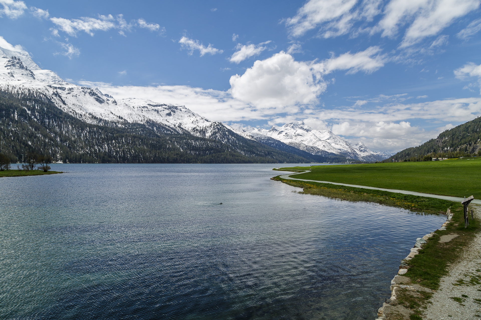
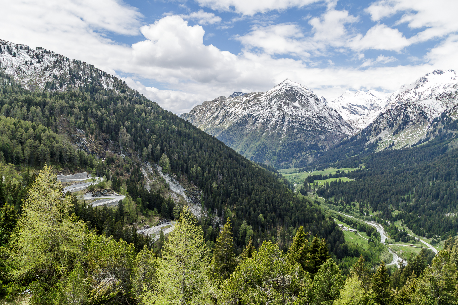
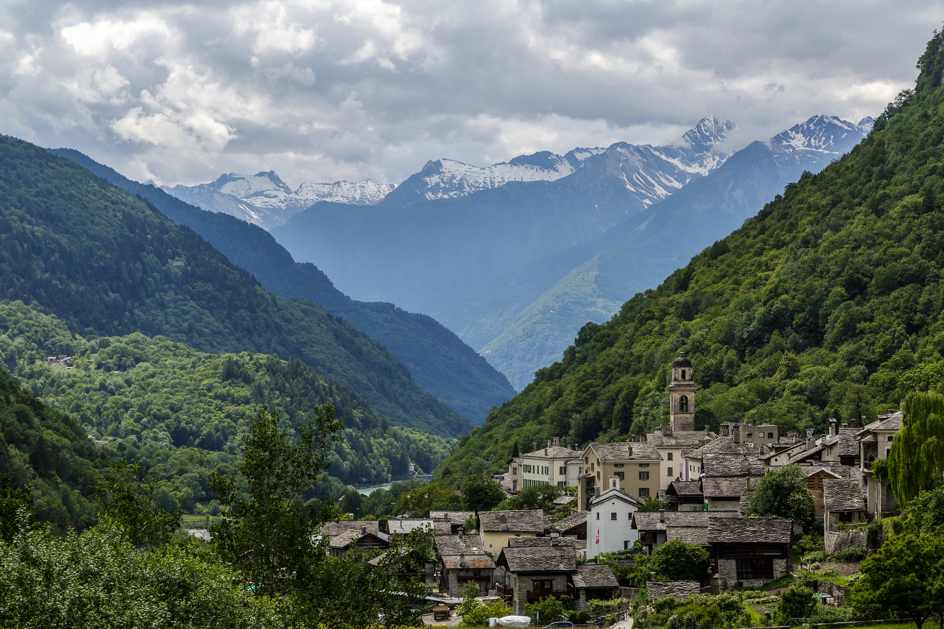
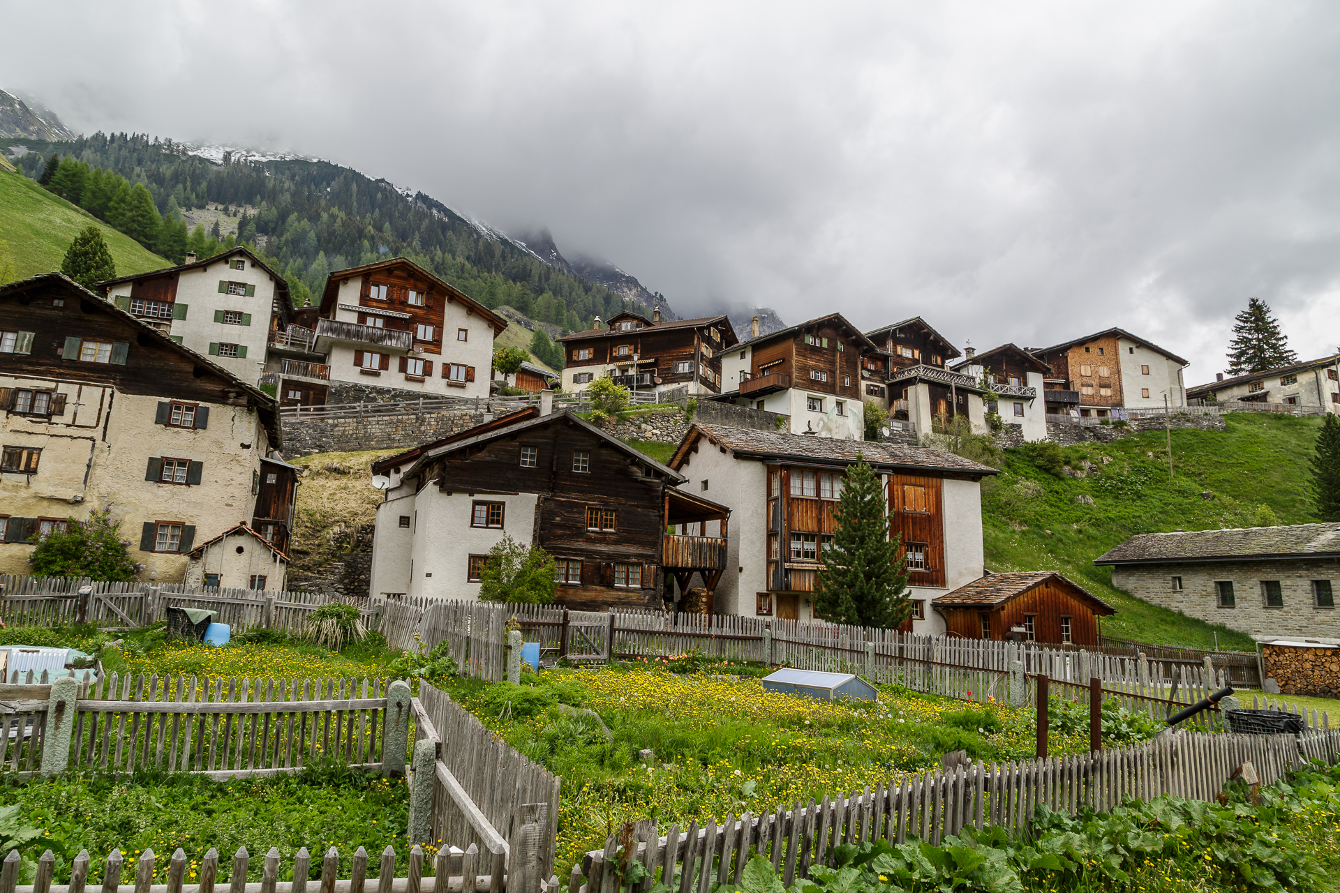
After this detour, we follow the road along the Upper Engadine Lake District. Passing Lake Silvaplana, we reach the Maloja Pass around noon. Be sure to leave the car park for a short time to take a look at the dizzyingly winding Maloja Pass and the Bregaglia. In my opinion, one of the most beautiful alpine valleys in Switzerland. The small villages such as Vicosoprano, Promontogno and the border village of Castasegna are simply magical. We stopped every now and then and walked through the town centres. For the lunch break, I don’t miss the opportunity to drive up the steep road to the wonderful Soglio to have a delicious meal in the garden of Palazzo Salis. We took so many pictures along the way that the detailed version will be available in a separate article. One thing is clear: the ride through Bregaglia is definitely in a class of its own.
Etappenstopp Chiavenna
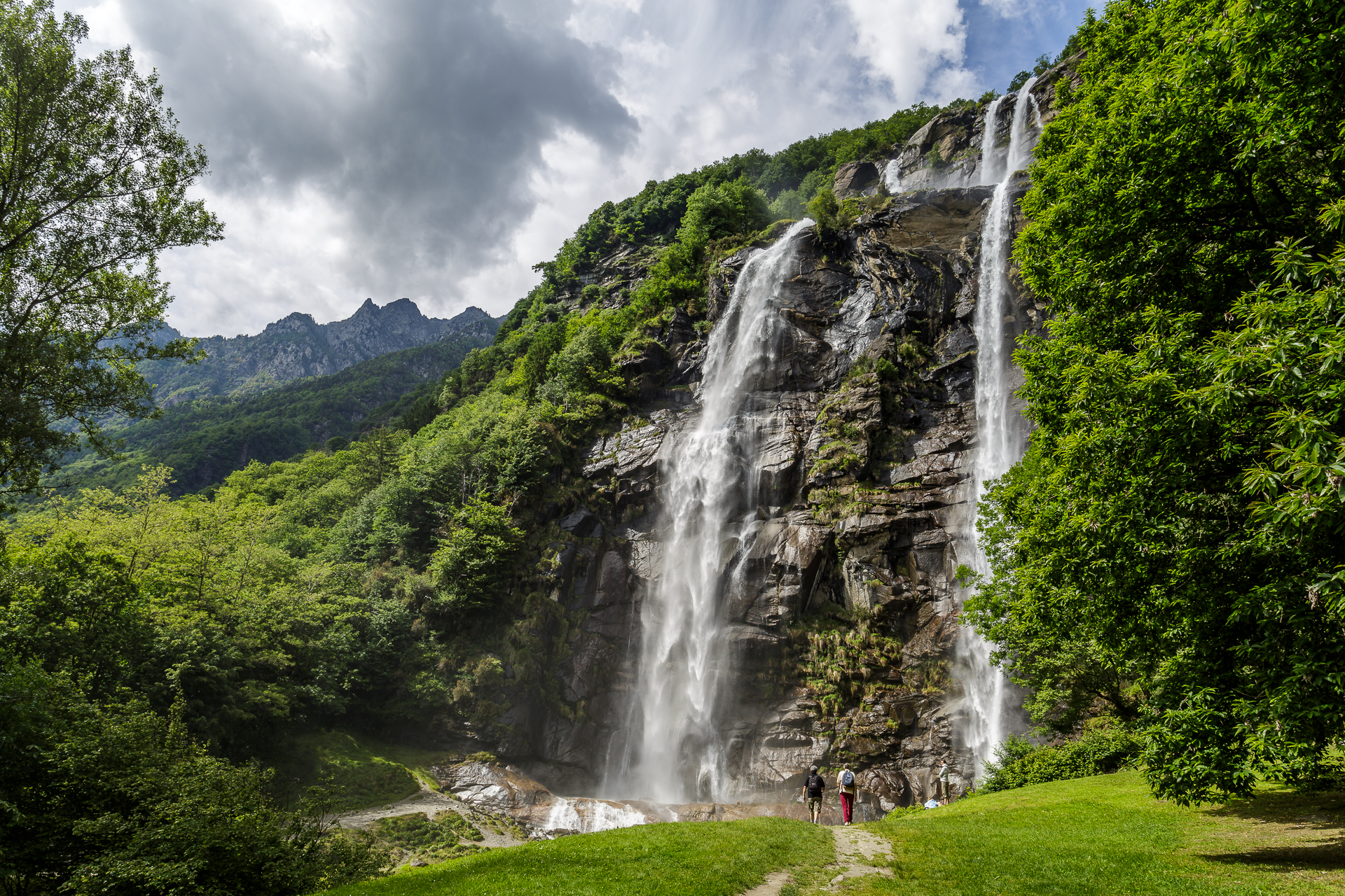
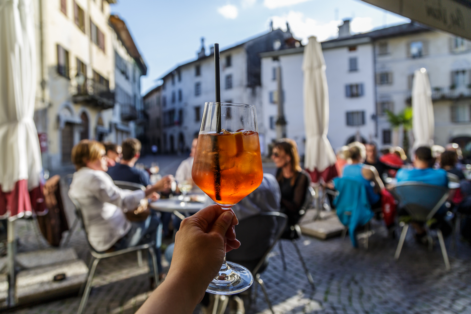
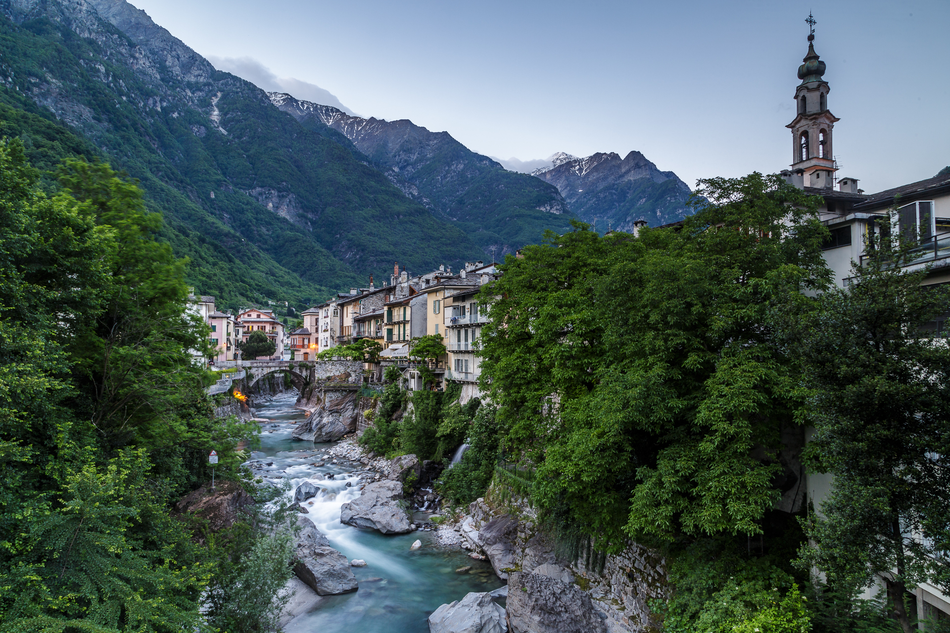
Shortly after the Swiss/Italian border in Borgonuovo di Piuro, our flexible means of transport came to meet us again. From the road we suddenly see an impressive waterfall and immediately look for a parking space. The imposing Acquafraggia waterfalls are a worthwhile stop. It only took a few minutes to reach our destination for the day, Chiavenna. Once there, we park our car in the large parking lot at the train station (free of charge from Tuesday to Sunday) and finally treat ourselves to a well-deserved aperitif in the warming evening sun. Despite its proximity to the Engadine, the southern flair and, above all, the striking temperature difference are clearly noticeable in Chiavenna. The charming town with its narrow streets and the beautiful façade front at the level of the Mera quickly wrapped me around my finger. Recommendation on my part. Chiavenna can also be reached from Maloja by post bus (July to October also a course from Splügen). We stayed at the Hotel San Lorenzo (partner link), which is within walking distance of the old town and has simple but beautiful rooms.
The curve challenge at the Splügen Pass
On the third day, the biggest challenge of the tour follows. It starts with the fact that the navigation system does not want to navigate us over the Splügen Pass. Not a tragedy, because the historically important Alpine pass is well signposted. Only the sign with the “snow chain compulsory” worries me a bit. The boyfriend, on the other hand, is carefree, “he’ll do it then”. Aha.
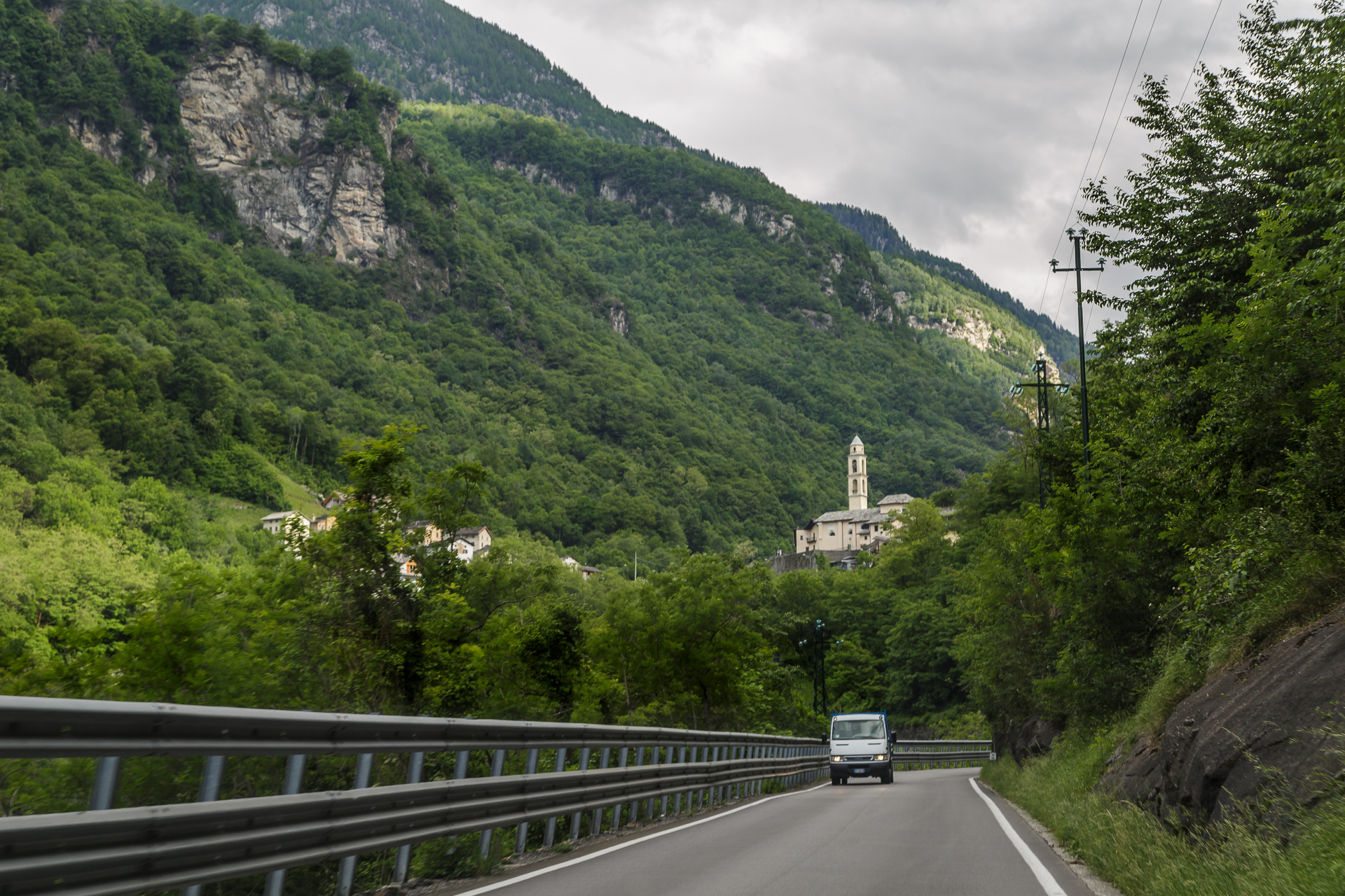
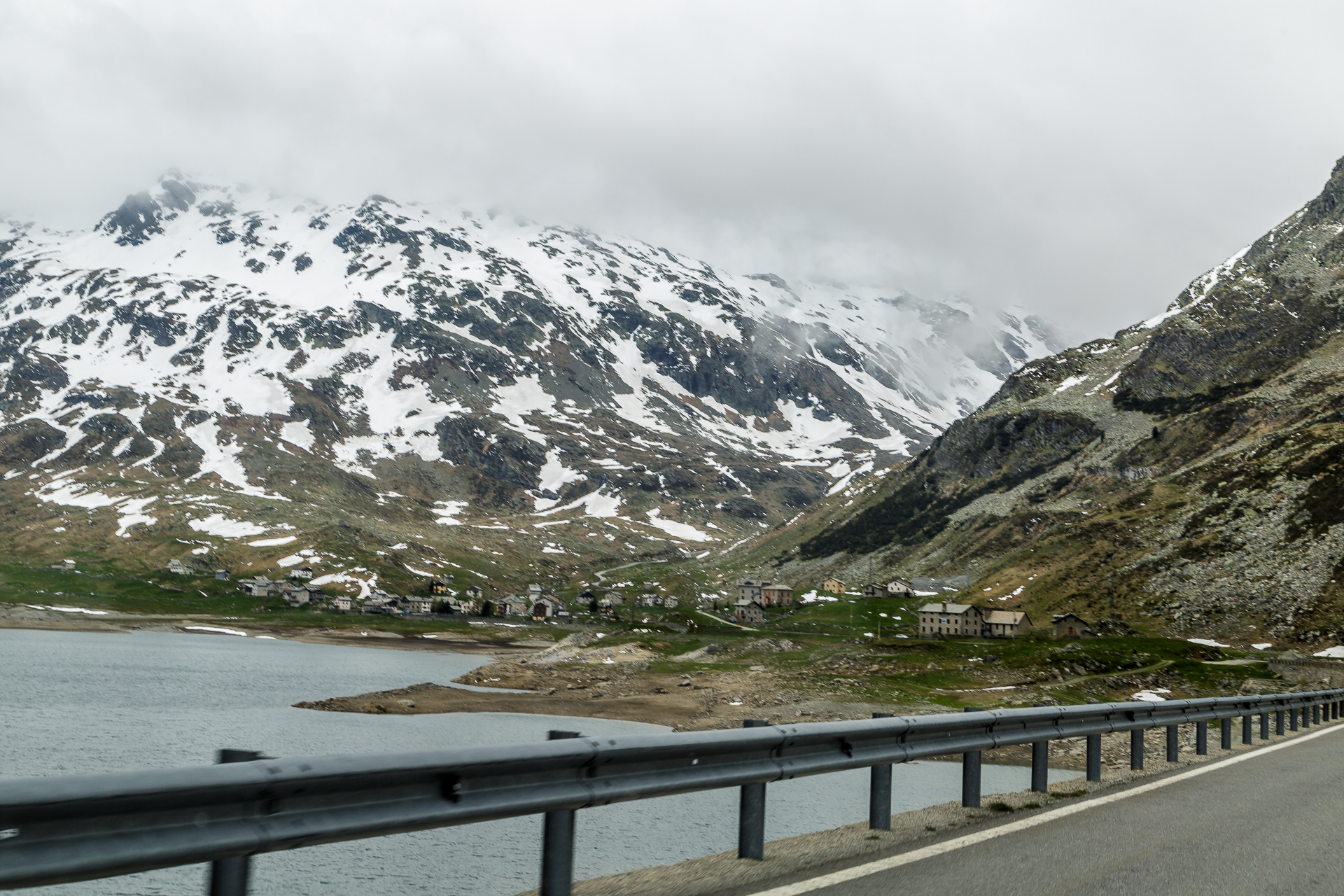
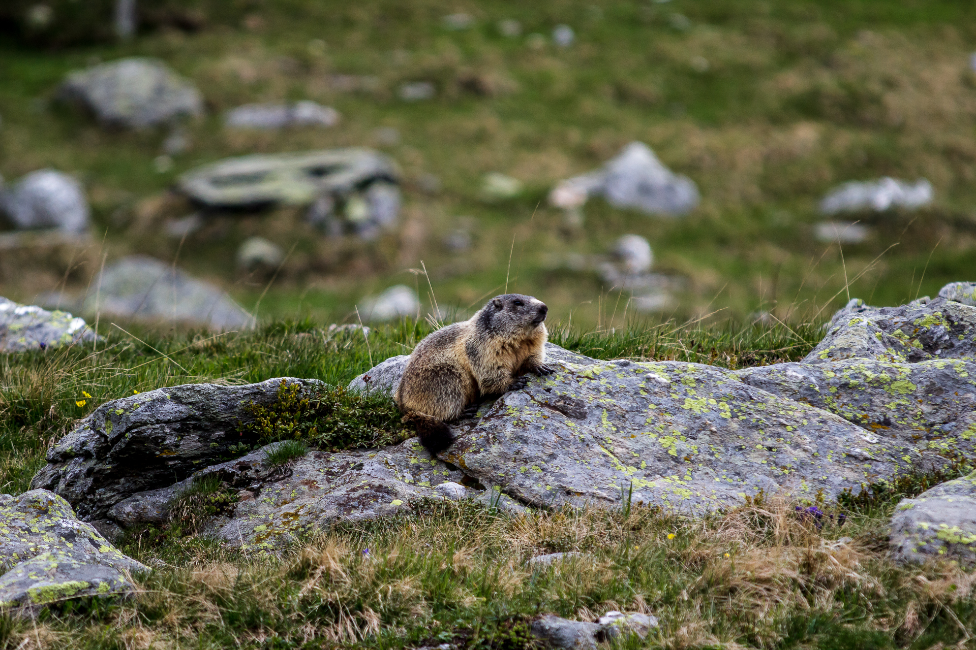
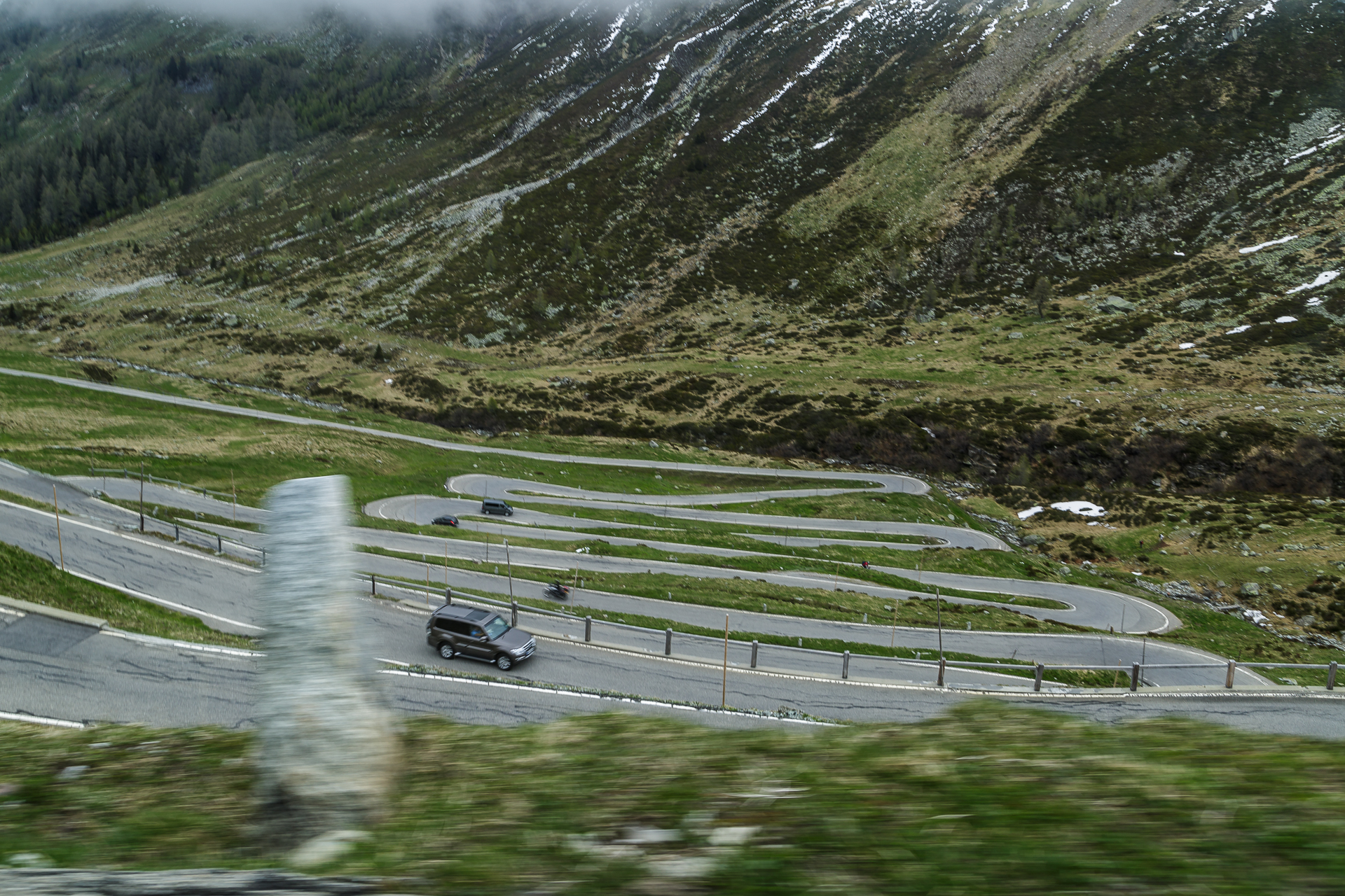
But why doesn’t the navigation system want to let us drive over the Splügen Pass? This question is answered after just a few kilometers of driving. The Splügen Pass road is damn narrow and winding. And not just far back in the valley, but the hairpin bends were already made shortly before the first village of San Giacomo Filippo. Behind me, of course, I have a local behind me who knows exactly which curve to follow and presses the accelerator accordingly. I don’t want to be a brake on that. In between, I would like to squint both eyes. The road is so wide that there is barely room for one car, on one side steep rock faces up and on the other side it goes vertically down into the valley. My gosh! But luckily the traffic is limited and shortly after Montespluga there are even marmots scurrying across the road in front of us. Of course, the friend and passenger immediately pulls out the “Wildlife” camera and the cute guys skillfully strike a pose. The only thing that disappoints him a bit is the fact that his snow-chain-mounting skills are not required after all thanks to the snow-free road. Fortunately – I thankfully renounce this relationship test.
Shortly after the top of the pass on the Swiss side, the most photographed section of road follows. The road zigzags its way down the mountainside. Arriving safely in Splügen, we take a deep breath during a walk through the historic centre – which has been classified as a townscape of national importance by the Heritage Society. The most difficult, but also the most exciting part would have been done.
Between Splügen and Thusis
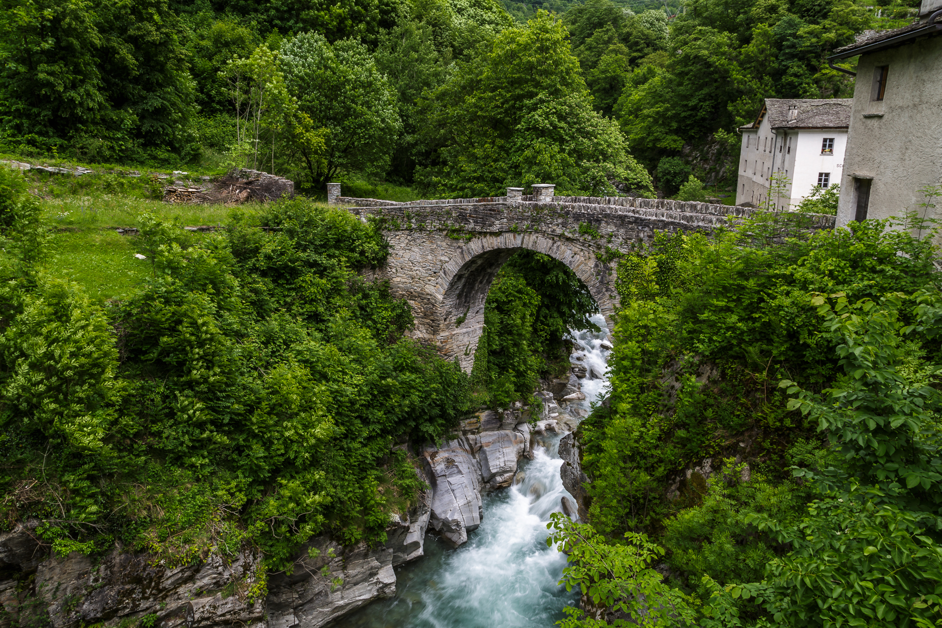
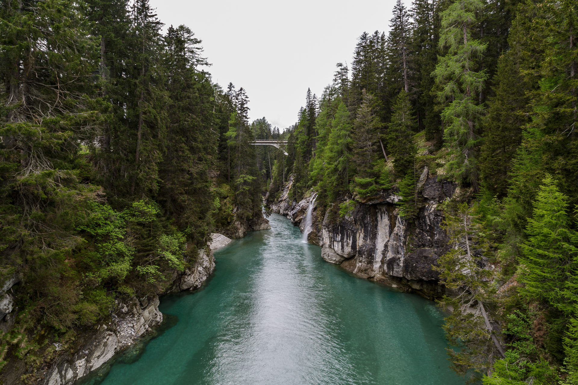
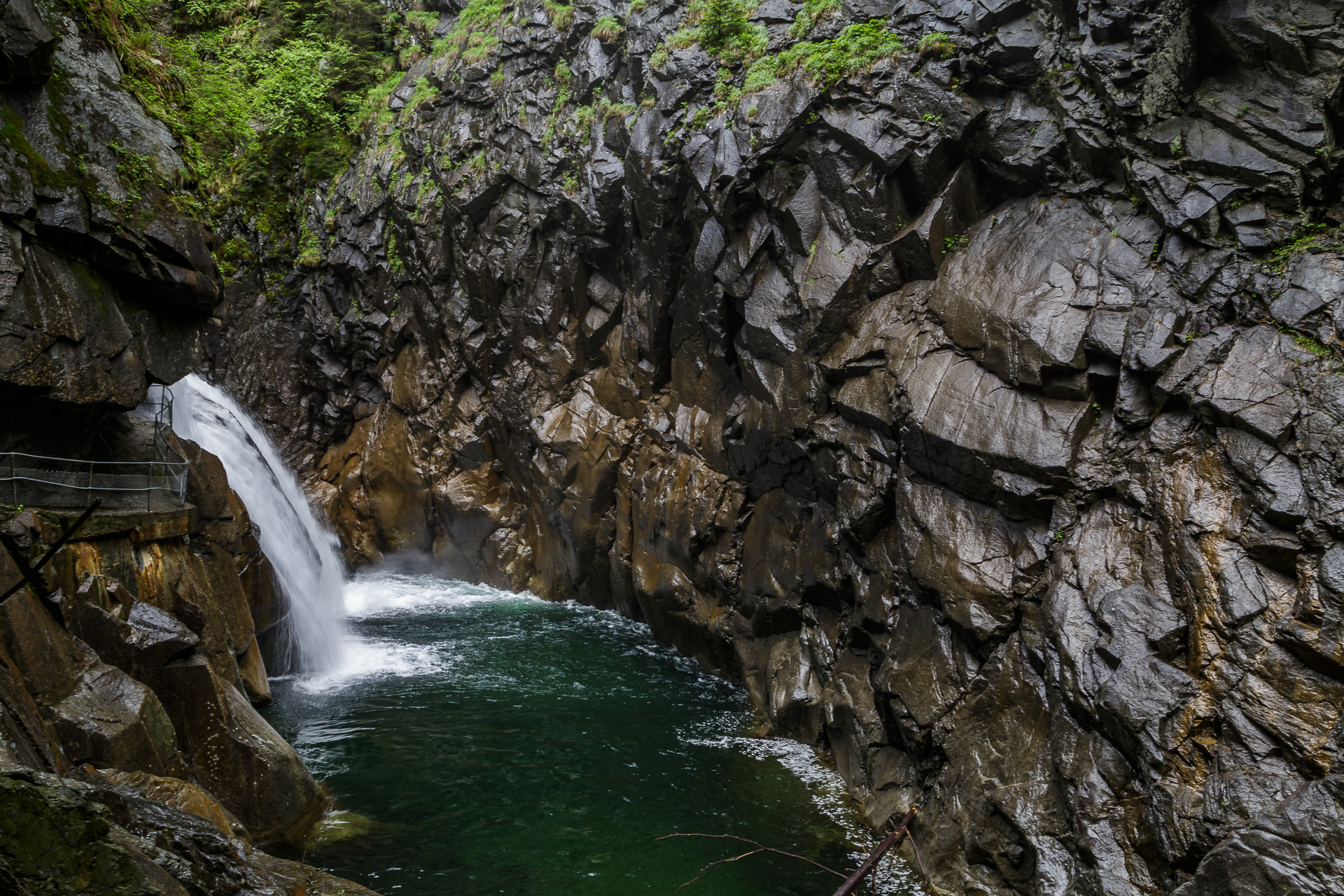
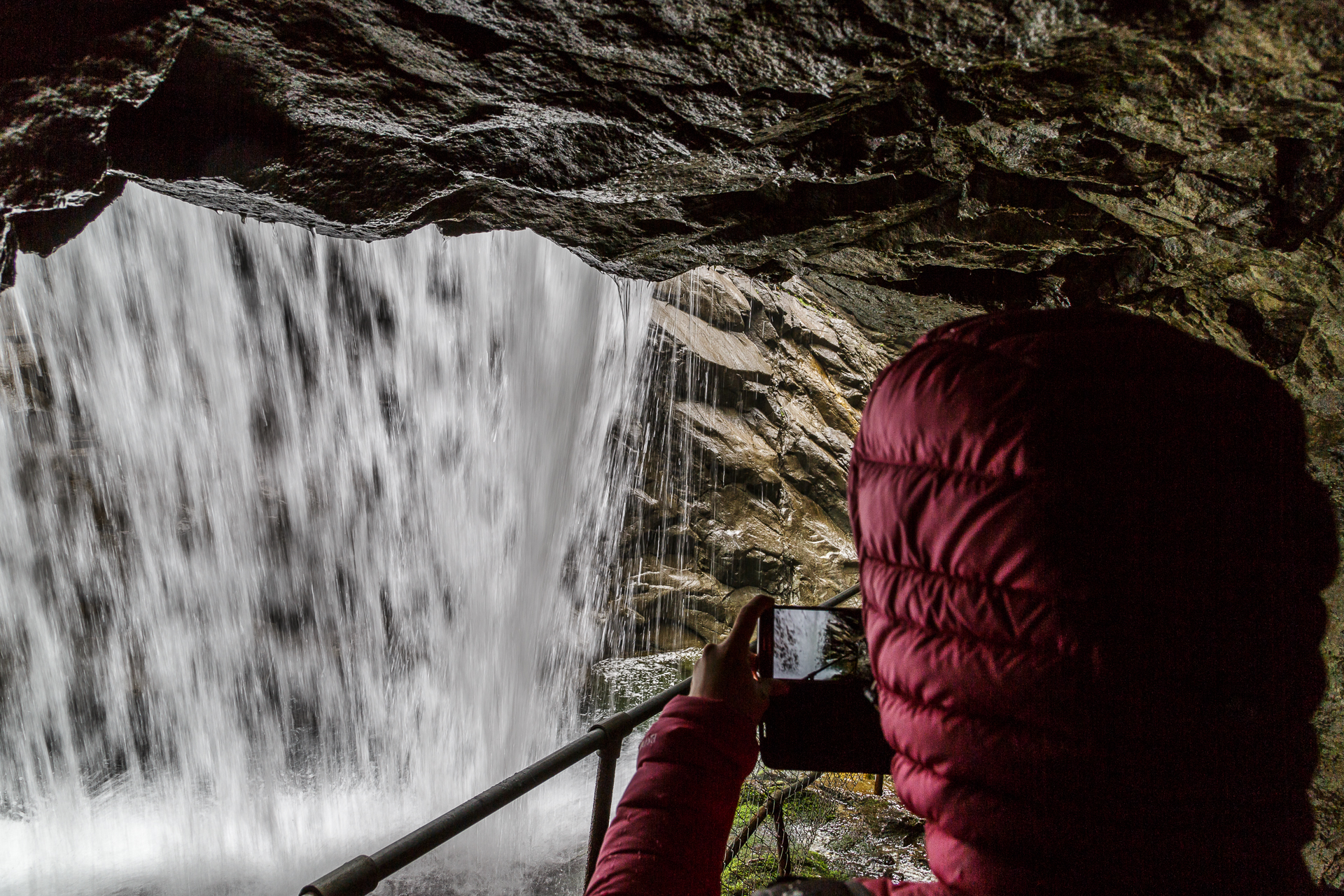
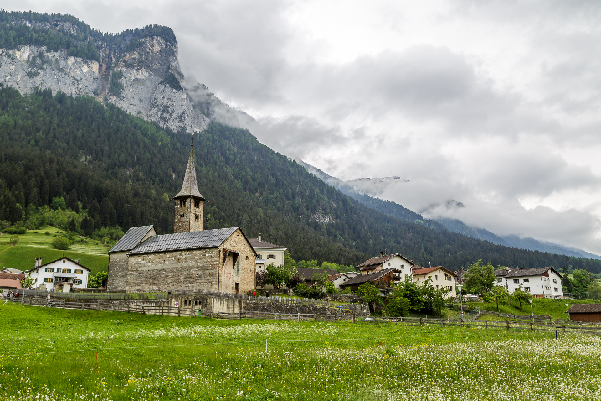
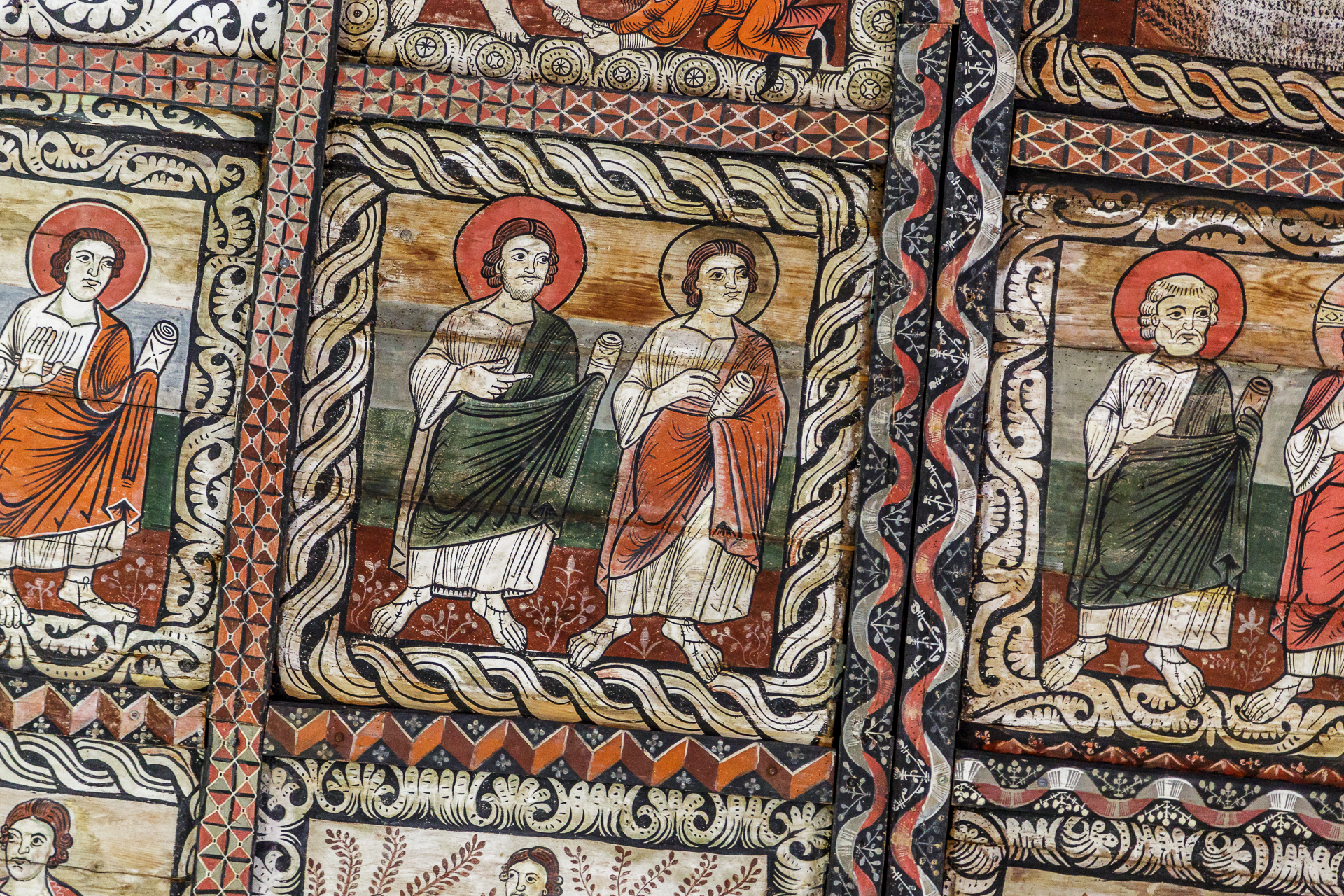
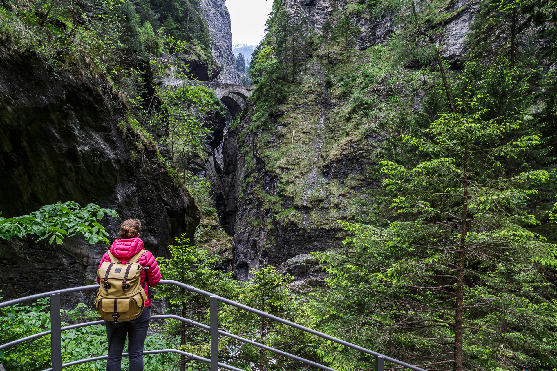
For the last section from Splügen back to Chur, there are two route options to choose from. The A13 for the fast driver and the H13 for those who still want to see some of the countryside. There are plenty of sights on this route. I got a lot of great tips on Twitter and thanks to Auto, I was able to install some of them spontaneously. Shortly before the Sufnersee, the H13 crosses a bridge, from which you have a great view of the still young Rhine. The next highlight is the Roffla Gorge just before Andeer. The entrance fee to the waterfall is 3.50 CHF and passes through an old restaurant door. Shortly afterwards we stop in Zillis at the church of St. Martin (entrance fee 5 CHF). The church is famous for its painted church ceiling from the 12th century. The square panels have been preserved almost completely and without overpainting and tell the world view of the time. A work of art that attracts guests from far and wide and that’s why the parking lot in front of the church was – totally surprising for us – full of coaches from abroad. Last but not least, we don’t miss the opportunity to take a look at the legendary Viamala Gorge. Unfortunately, there was not enough time for a hike in the direction of Thusis, but the normal tour also offers impressive insights (entrance fee 6 CHF).
Full of impressions, we reach our starting point in Chur on Monday afternoon. What an eventful road trip! We got so many impressions in a short time that would not have been possible with public transport. We will return to one or the other place to explore the area in more detail on foot. Otherwise, a clear thumbs up: This track is great!
And here’s the route to follow. The route of a total of around 300 km leads over three Alpine passes (with the Albula Pass there are four) and makes a detour to Italy (take ID / passport with you). The winter closure on the Flüela Pass is usually lifted at the beginning of May. Nevertheless, always check the website Alpenpässe.ch the latest information. The road condition map of the canton of Graubünden is also helpful.
Here you can find more excursion destinations in Switzerland.
The most beautiful route in Switzerland | My new trip on Roadtrippers.com!
For three days, a rental car in our price range (F) costs around 300 CHF without discounts. For those who are often dependent on a rental car, the Avis on the Road membership (30 CHF for two years) offers price savings of up to 30%.
The wheeled vehicle was provided to me by Avis free of charge for this trip – thank you very much for this! As always, my readers can be sure that I always represent my views and enthusiasm.



Leave a Reply