Hengst – Schibengütsch: Hike over the Schrattenfluh to double happiness at the summit
The karst landscape of Schrattenfluh has been familiar to me since my geography studies and an associated field trip week to Entlebuch. The extensive karst fields of Schratten limestone, which cover the gently sloping southeast flank of Schrattenfluh, are a fascinating work of erosive forces and thus a welcome subject for geomorphological studies. Although I’ve intensely studied this impressive mountain range at times, I never came into direct contact with the karst fields.
On one hand, I had a certain respect for the not-so-easy loop over Schrattenfluh, and on the other, there were many other equally exciting peaks and mountain ranges that somehow took priority. Last Sunday, I took advantage of the forecasted glorious sunny day for a magnificent circular hike over the southeast slopes of Schrattenfluh to the scenic Hengst. An all-around successful hiking excursion into the Entlebuch!
Early Start of the Schrattenfluh Hike in Sörenberg – Salwideli
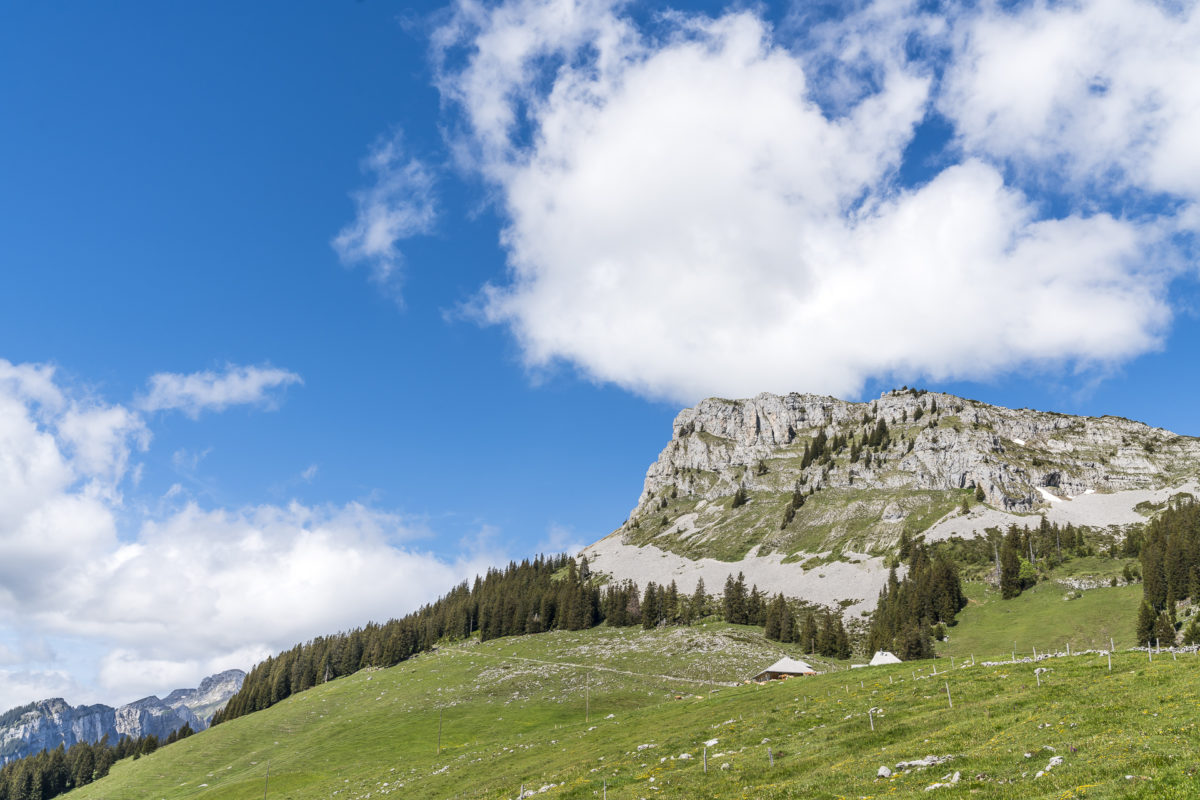
There’s nothing like the magic of early morning hours, so we aimed for an early start to our hike. Schrattenfluh is not unknown, but due to the various hiking routes, the required endurance and surefootedness, and the lack of a cable car that comfortably transports you to a peak, the number of hikers here is usually manageable. Still, an early start is worth it – right on time for our departure just before seven o’clock, the first rays of sunshine are peeking over the hilltops at the Berggasthaus Salwideli. While the last wisps of mist dissipate over the high moor of Sörenberg, the morning sun makes the karst fields of Schrattenfluh shimmer golden.
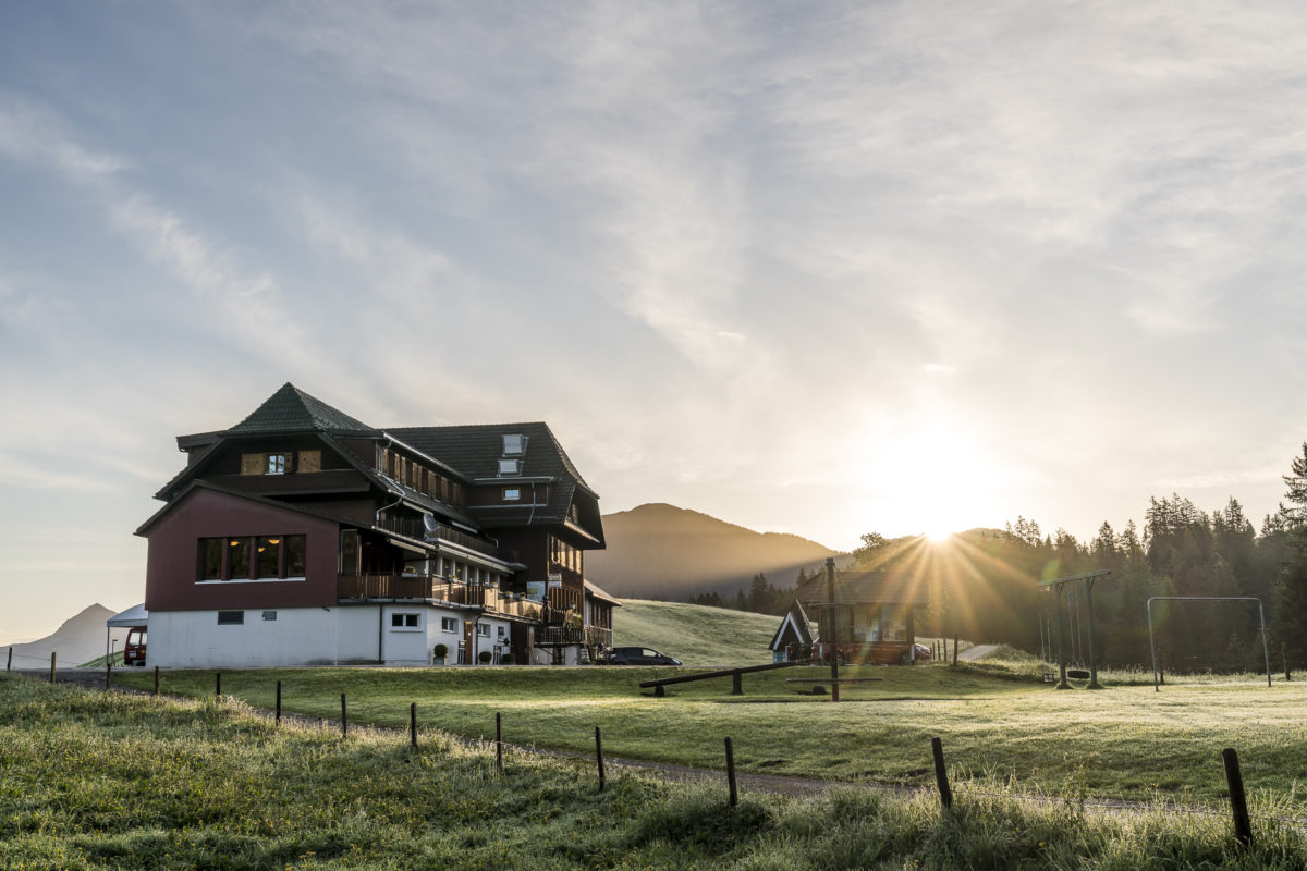
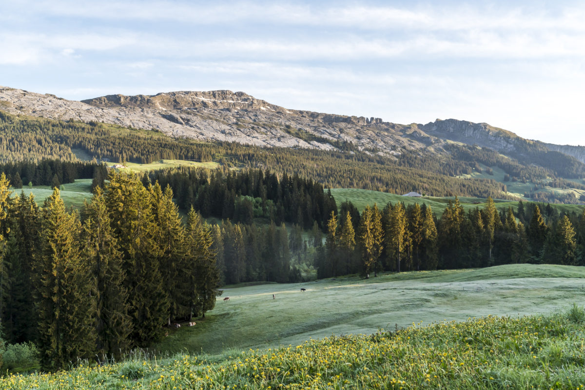
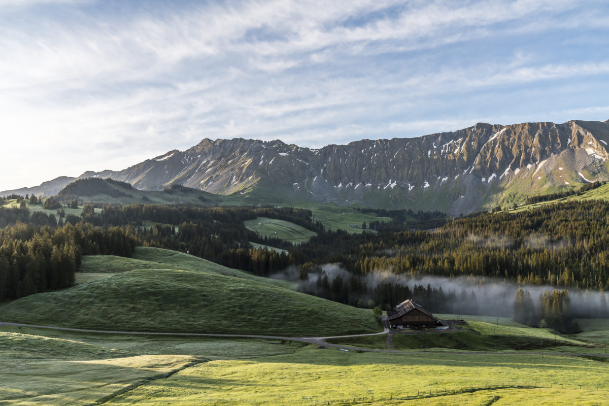
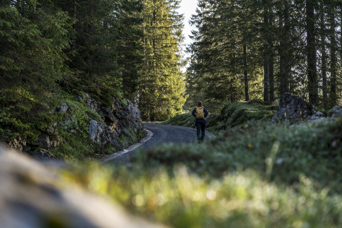
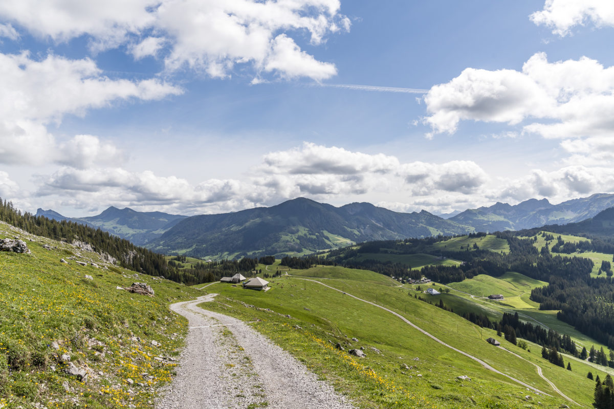
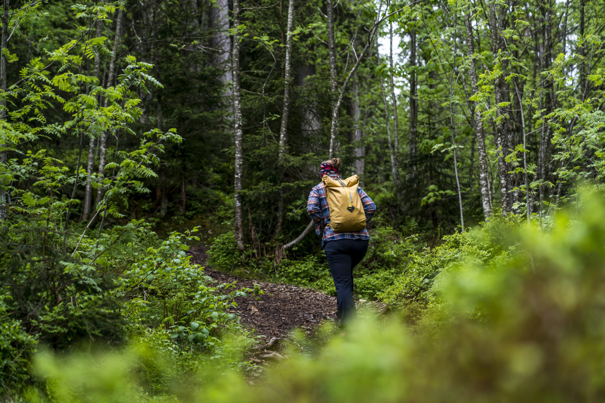
What an amazing atmosphere! We follow the marked hiking trail through a short wooded section downhill to Wagliseiboden. After that, the path gently ascends along a dirt road toward Alp Schlund. A relaxed start to the tour and a great stretch to warm up and fully wake up.
After Alp Schlund, we follow the road uphill for another kilometer to the alpine restaurant Silwängen. About halfway up, a mountain trail branches off to the left, taking a more direct route to the ridge of Schrattenfluh. However, the signposted hiking time between this route and our route via Silwängen differs by only five minutes.
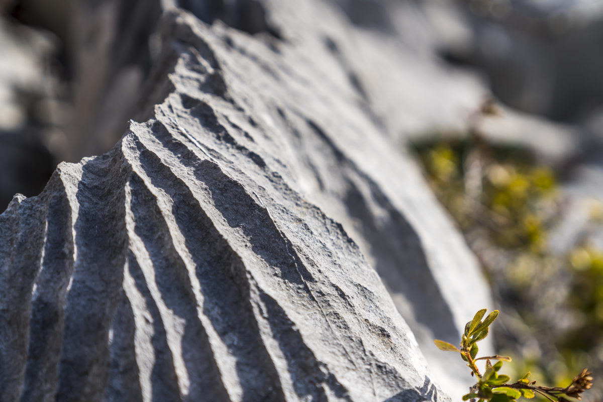
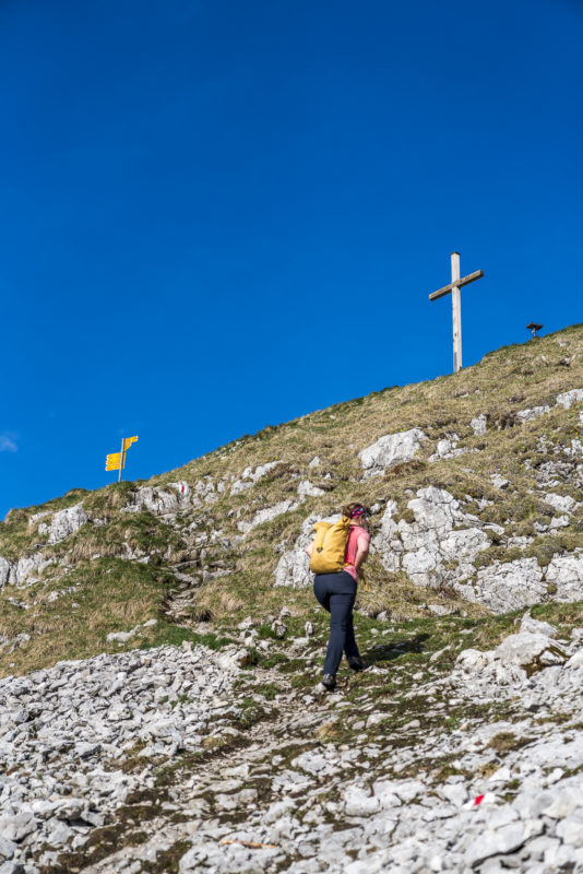
At Silwängen, we too leave the road and venture into alpine terrain in one fell swoop. It doesn’t take long before we encounter the first karst blocks, which truly look as if some wicked creature had sharpened its claws on the stone. In the legendary Entlebuch, several wild stories have, of course, been written about Schrattenfluh as well.
Through Karst Landscapes to Hengst
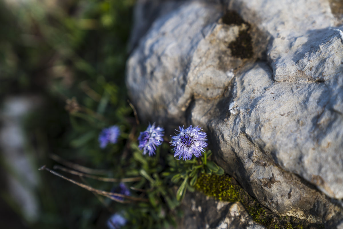
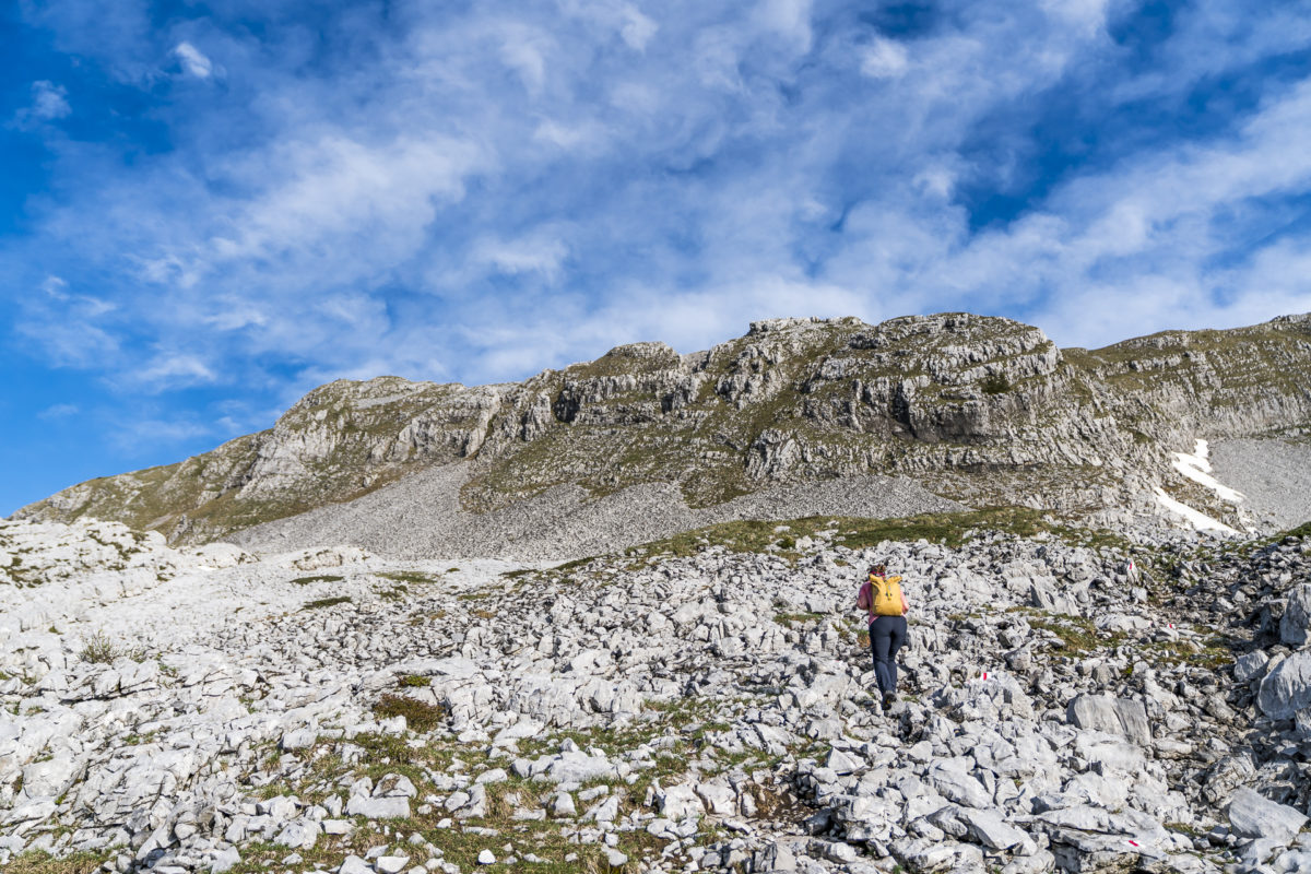
In the following section, I don’t have much time to reminisce about old stories. The entry into the rugged karst landscape requires concentration. After gaining a few meters in elevation and getting used to the unfamiliar terrain, the pace picks up a bit. Thanks to the regularly placed trail markers, I navigate relatively directly through the stone desert. It’s advisable in this section not to lose sight of the markers and to keep an eye out for the next sign.
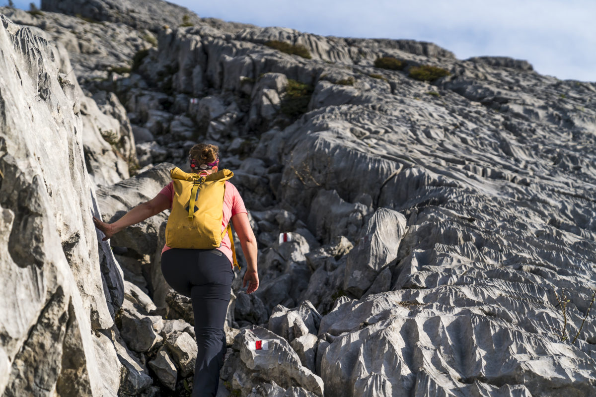
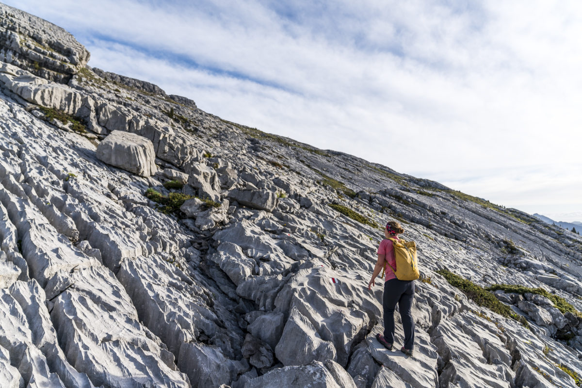
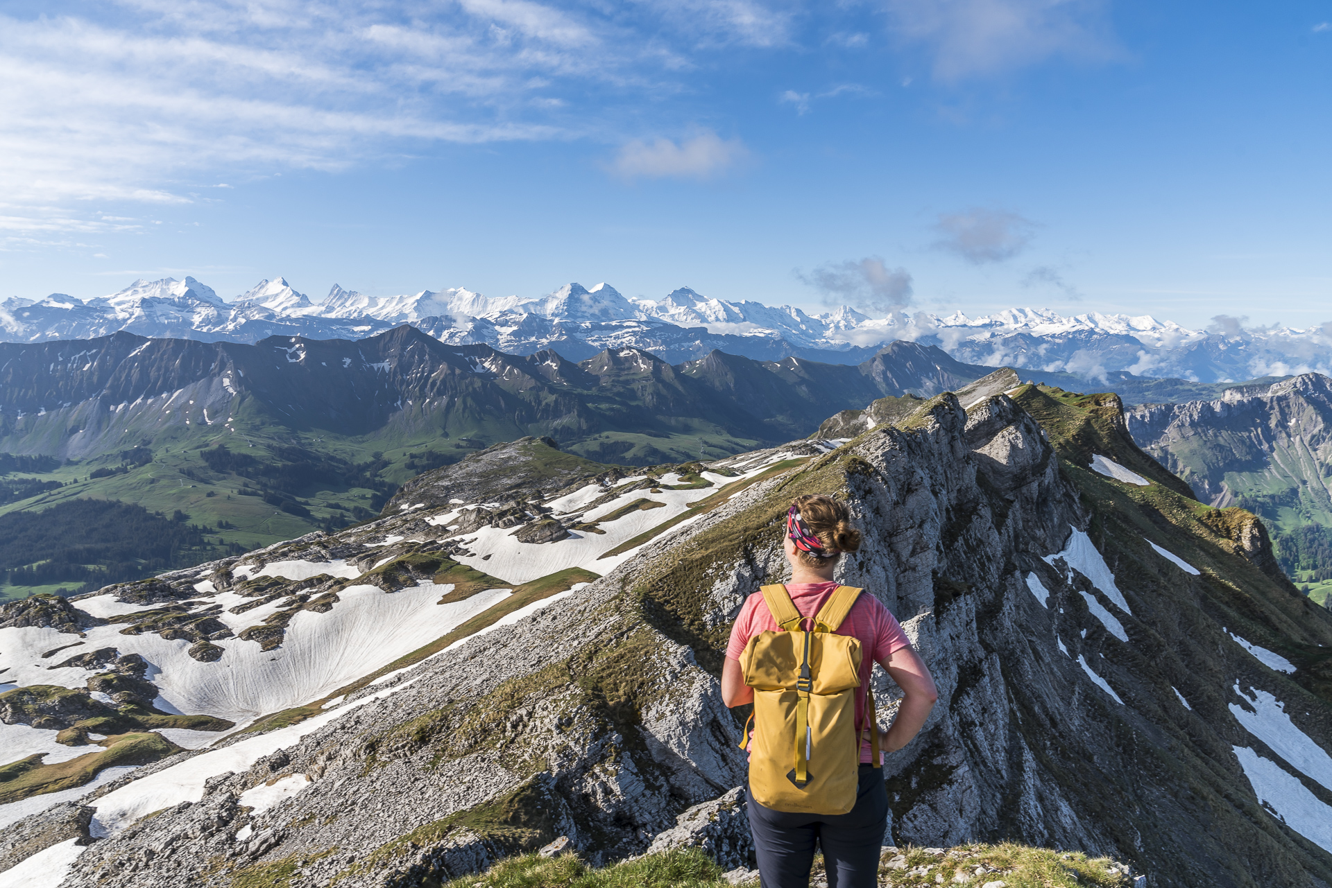
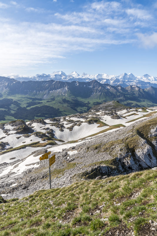
The steep ascent is soon rewarded with the first stunning view toward the Bernese Alps. A boost of motivation that surprisingly allows me to continue light-footed toward Hengst – our first summit on this tour. I had expected that the ascent might be tricky in places and would be quite challenging for me – a self-confessed scaredy-cat when it comes to steep sections. But I quickly find my footing on the karst rocks and reach the flatter, much less rugged terrain just below the ridge faster than expected.
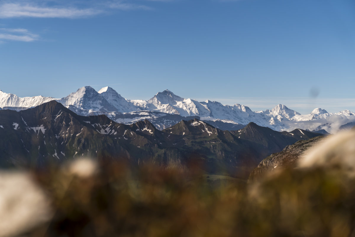
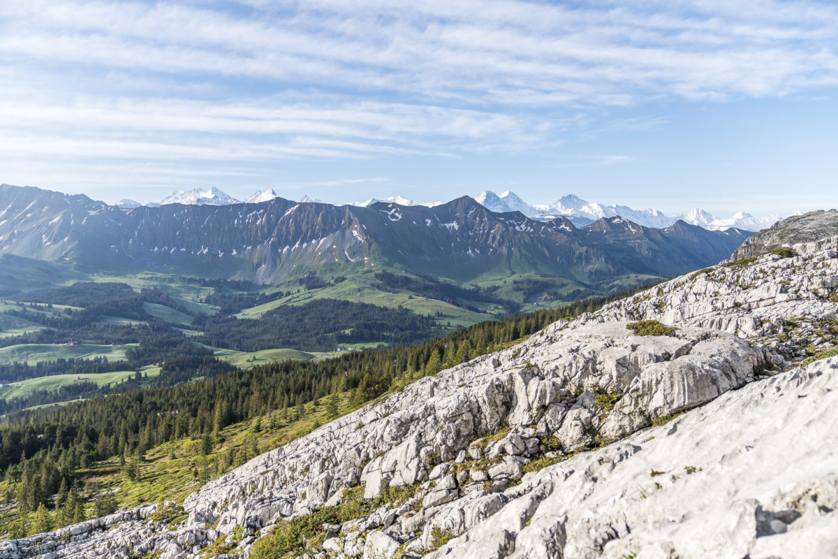
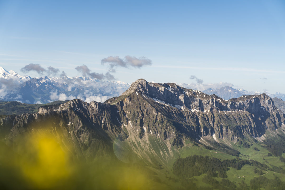
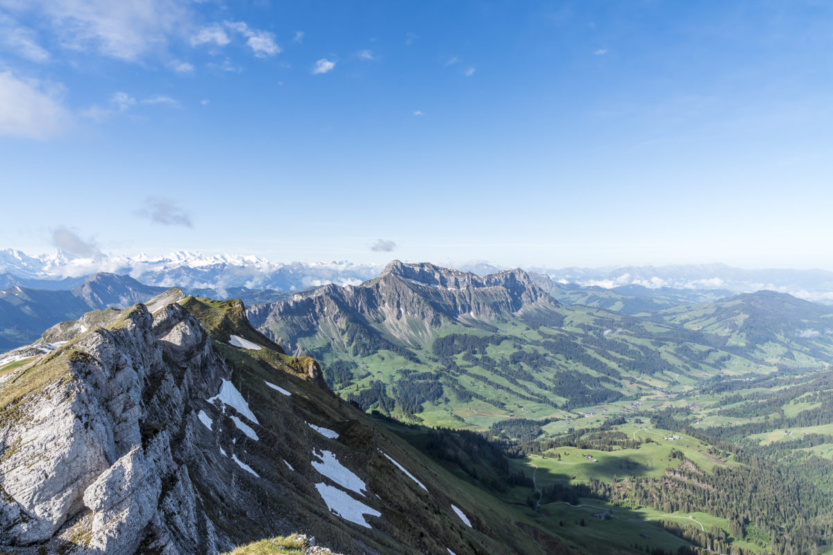
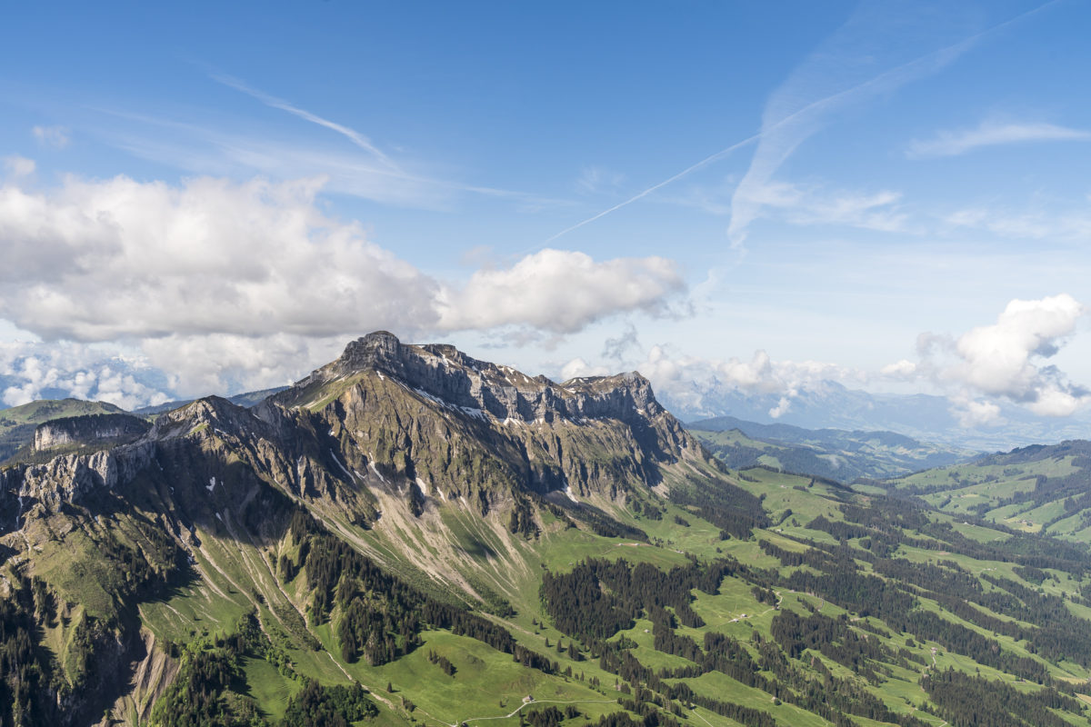
Now, only a few more meters of elevation separate me from Hengst – the highest point of Schrattenfluh. A little over two hours after starting in Salwideli, I reach the summit and take in the magnificent panorama. The 360-degree view from the Swiss Plateau over the hills of the Emmental to the snow-covered Alps is simply gigantic. The view of the neighboring Hohgant is also excellent.
Along the Ridge Trail Toward Schibegütsch
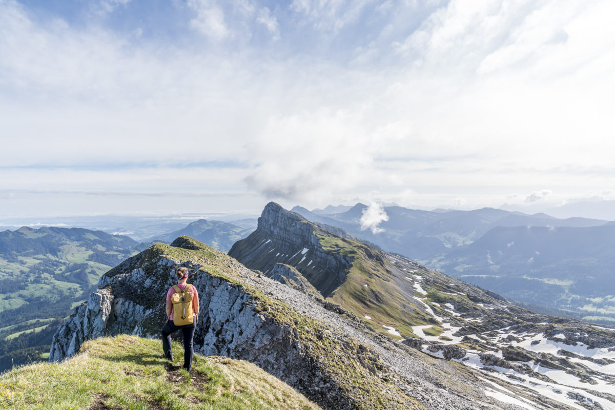
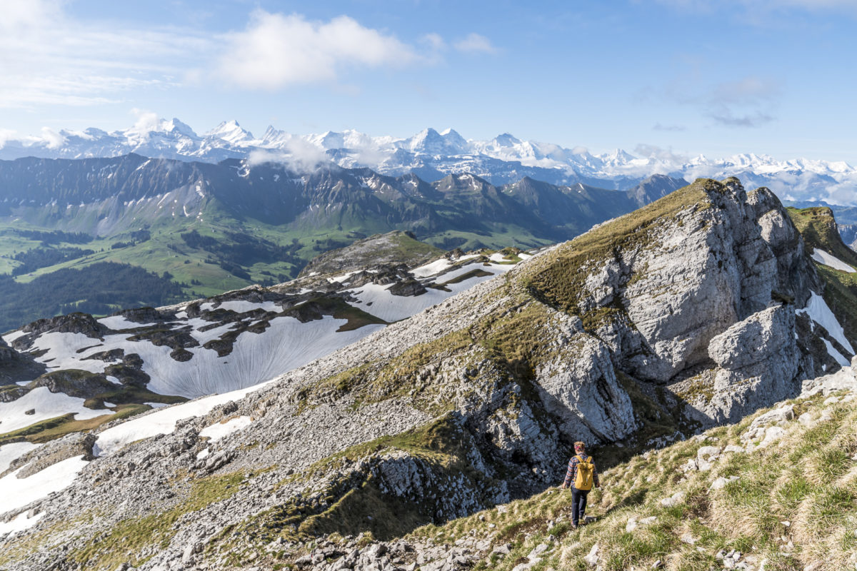
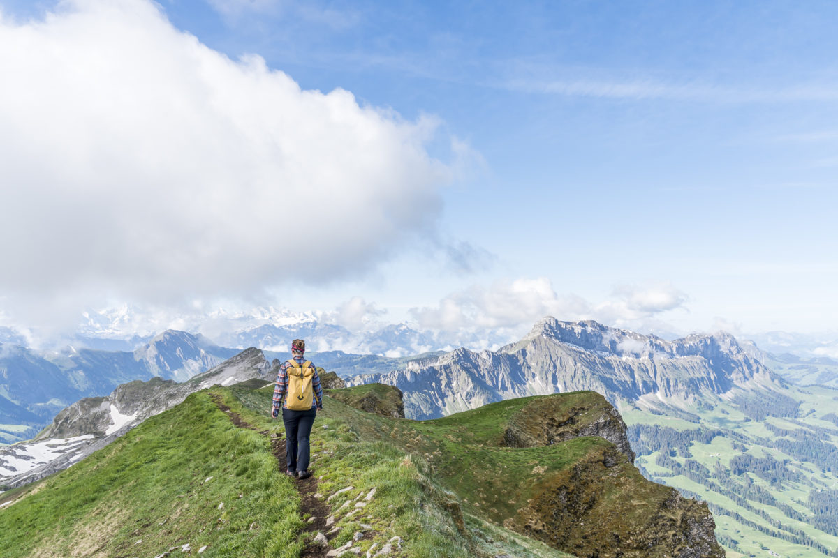
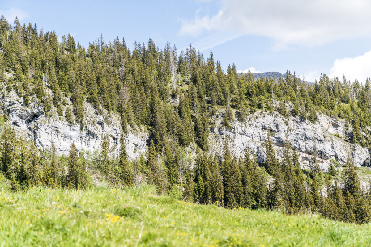
After a short break, we continue along the ridge trail toward Schibegütsch. While the southeast flanks of Schrattenfluh rise gently, they drop steeply to the northwest – an impressive contrast. Several hiking descriptions mention that you need to be careful on the ridge trail to avoid falling into deep karst holes. In my opinion, this is a bit exaggerated and only applies to the section between Silwängen and Hengst (the ascent) in this variant of the tour.
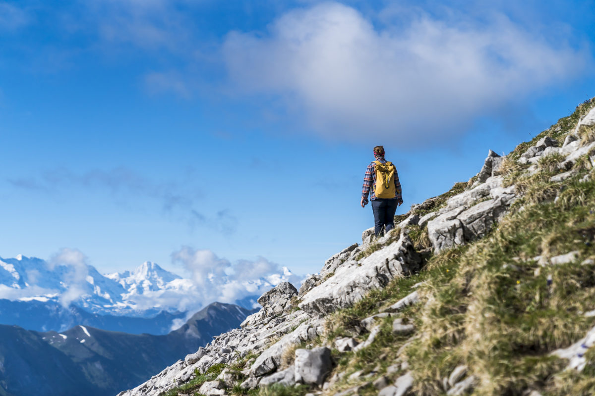
Right after Hengst, there’s a short, relatively steep section where I use my hands for assistance. After that, the path runs almost continuously as a well-trodden, narrow natural trail over the mostly grassy (and not rocky) ridge.
Two Summits in One Go
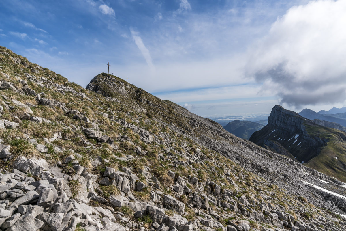
Originally, I had planned the tour without Schibegütsch. But when we reached the end of the ridge trail and realized that the ascent to the second summit of this tour would only take an additional ten minutes, we didn’t hesitate.
On Schibegütsch, you’re already a good deal closer to the Bernese Alps, and at the same time, you have a great view back toward Hengst. If you still have energy left at the trail junction below Schibegütsch, you definitely shouldn’t miss this additional summit.
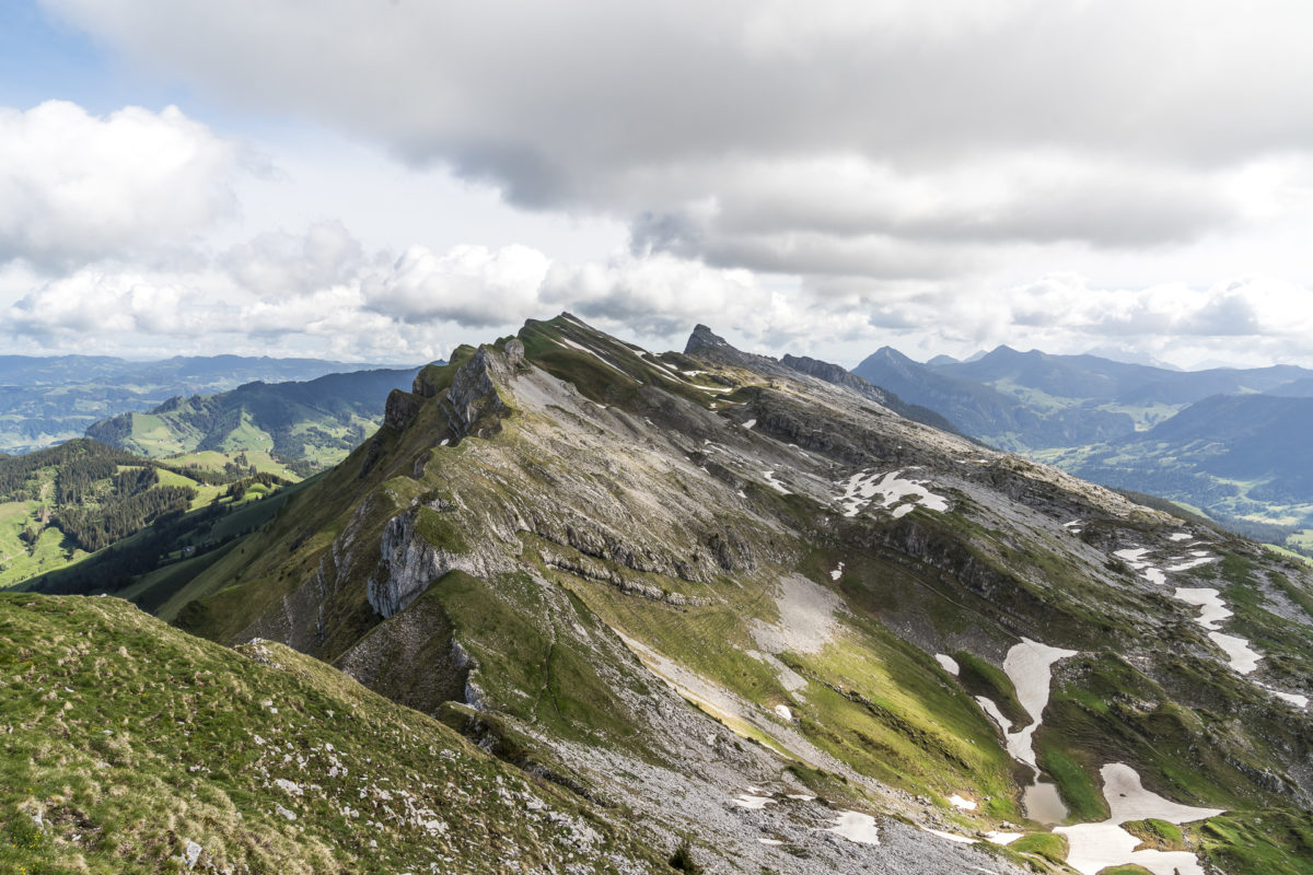
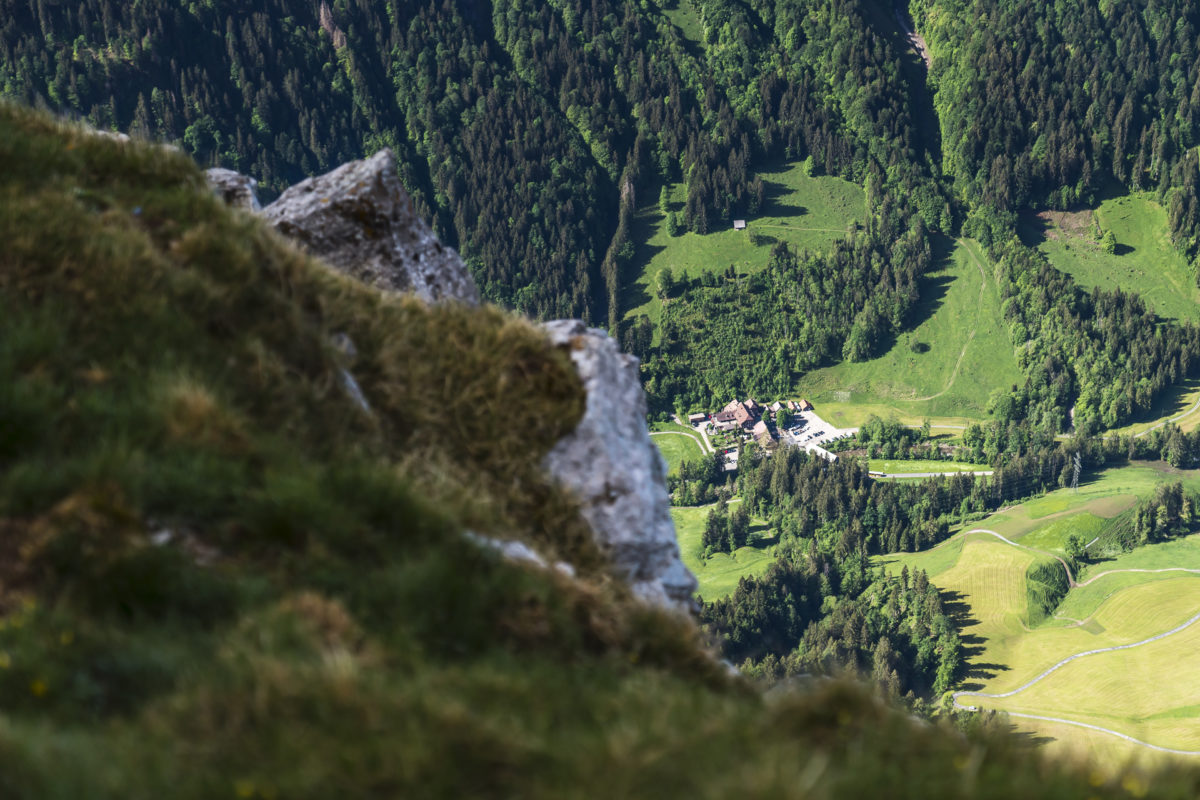
We then follow a steep but well-developed zigzag path downhill toward Ober Imbärgli. Unlike the ascent, no scrambling over Schratten limestone is required here – one reason why it’s recommended to do the circular hike in a counterclockwise direction, as we did. The final stretch takes us leisurely back over alpine meadows to Wagliseiboden.
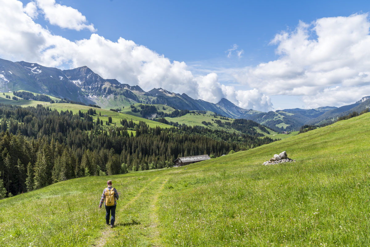
Finally, we are granted a few more meters of elevation through the forest up to Salwideli. Thanks to our early start, we’re back at the starting point before noon and can now spend the rest of the afternoon relaxing with our feet up.
Practical Tips for Your Schrattenfluh Circular Hike
The route of our Schrattenfluh circular hike can be seen on the map below. We chose the route Salwideli – Alp Schlund – Silwängen – Hengst – Ridge Trail – Schibegütsch – Oberwisstanne – Schneeberg – Salewideli. The distance of this tour variant is 14.2 kilometers. From Salwideli to Hengst, you need to overcome about 850 meters of elevation. An additional 200 meters of elevation are gained during the ascent to Schibegütsch and on the return between Schneeberg and Salwideli. We took five hours for the circular hike, including two short breaks on Hengst and Schibegütsch. This tour is signposted with a walking time of 5.5 hours.
Please note that the hiking trails around Schrattenfluh are mountain trails (T2). The section Silwängen – Hengst also leads directly over karst rocks. In some parts, the difficulty level is in the T3 range (no visible path, exposed areas). Surefootedness is required here.
Berggasthaus Salwideli, where we started, is not directly accessible by public transport. Since we were out very early, we traveled by car rather than public transportation this time. Parking at Salewideli is free. Another parking option is available at Wagliseiboden (saving a few more meters of elevation). If you’re traveling by public transport, it’s best to start the tour at the bus stop Sörenberg, Hirsegg. With this tour variant, an additional 250 meters of elevation are required (about three hours of ascent to Hengst).
Schrattenfluh Hike Salwideli – Hengst – Schibegütsch – Salwideli: Key Facts of Our Tour
| Starting Point | Parking lot at Berggasthaus Salwideli |
| Length | 14.2 kilometers |
| Elevation Gain | ↗ 1,095 m ↘ 1,095 m |
| Duration | 5:30 h |
| Destination | Parking lot at Berggasthaus Salwideli |
A technically less demanding but equally rewarding hike in the region can be found along the Entlebuch Moorland Trail.



Leave a Reply