

Swiss Way – on foot from Flüelen to Brunnen
The Path of Switzerland leads 35 kilometres in four entertaining stages from Seelisberg around Lake Uri to Brunnen. An ideal hiking route for capricious spring weather. After we have already hiked the first two stages, we recently took a close look at the remaining route from Flüelen via Sisikon to Brunnen.
Switzerland’s path at a glance
In connection with the 700th anniversary of the Swiss Confederation, the Swiss Path was established in 1991. The panoramic hike around the southernmost arm of Lake Lucerne is divided into the following four stages:
- Stage 1: from Seelisberg to Bauen (9 kilometres)
- Stage 2: from Bauen to Flüelen (10 kilometres)
- Stage 3: from Flüelen to Sisikon (7 kilometres)
- Stage 4: from Sisikon to Brunnen (8 kilometres)
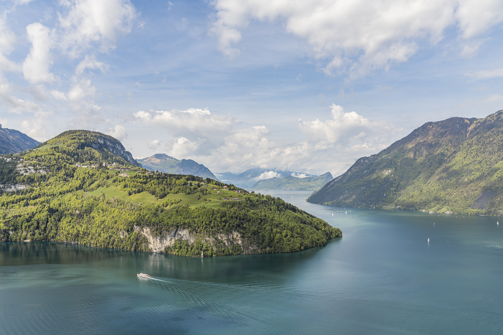
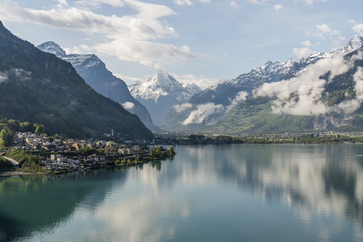
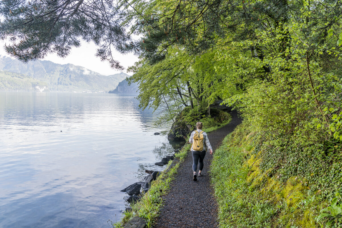
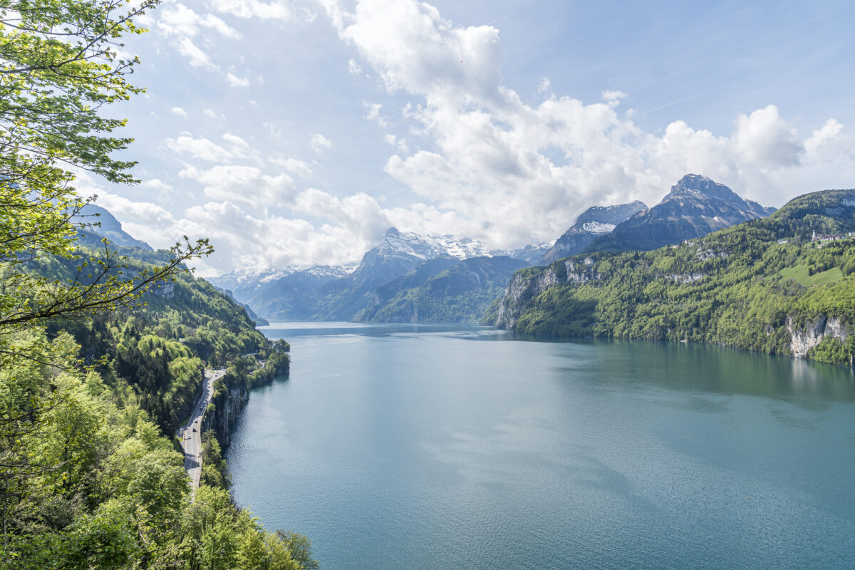
The stage lengths are kept short compared to other long-distance hiking trails. This means that the individual stages of the Swiss Way can also be easily combined with each other. The route is also varied; You can expect rooted forest paths as well as wide, gravel riverside paths in the area of the Reuss delta as well as tarred sections that run parallel to the busy Axenstrasse. And again and again there are wonderful panoramic views of the deep blue Lake Uri and the surrounding mountain peaks.
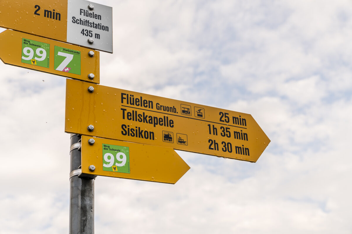
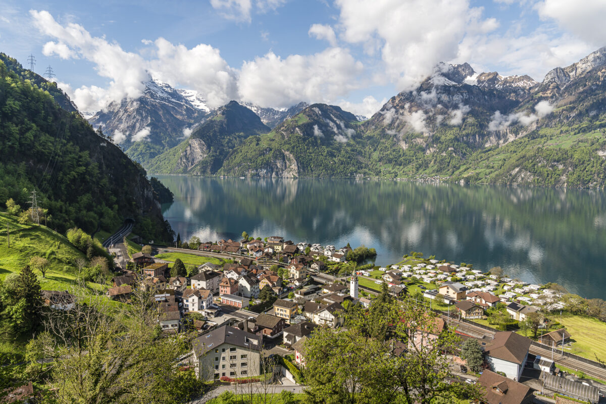
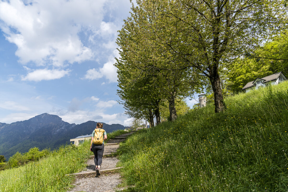
From Flüelen via Tellskapelle to Sisikon
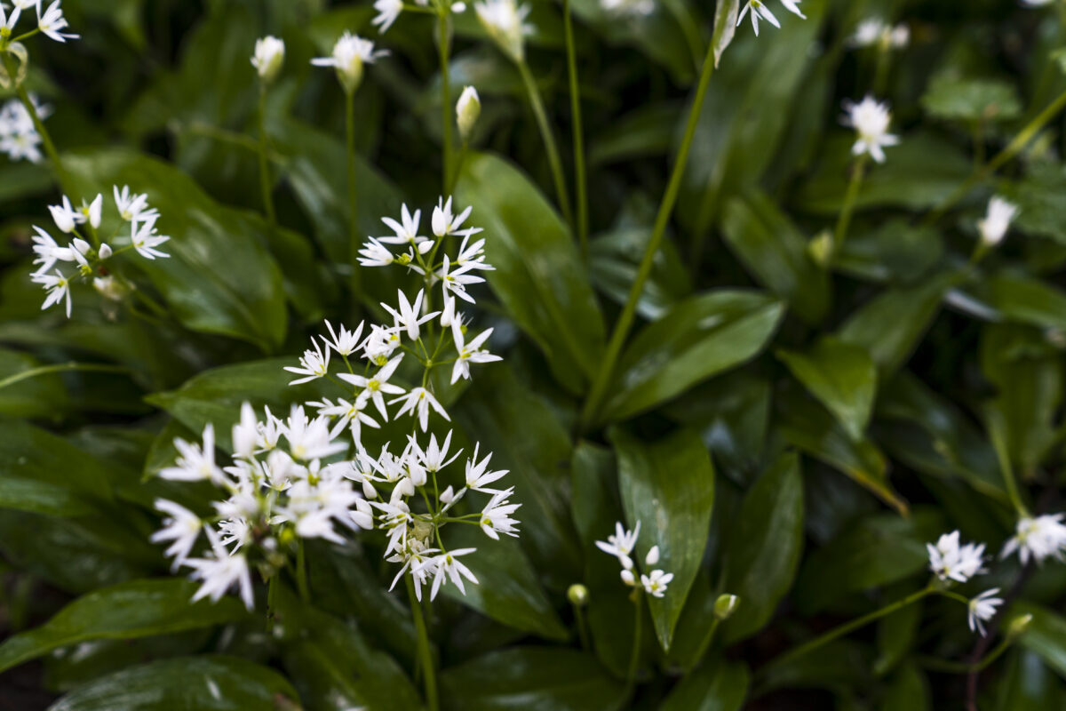
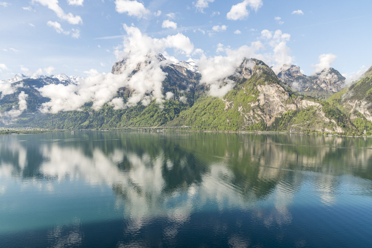
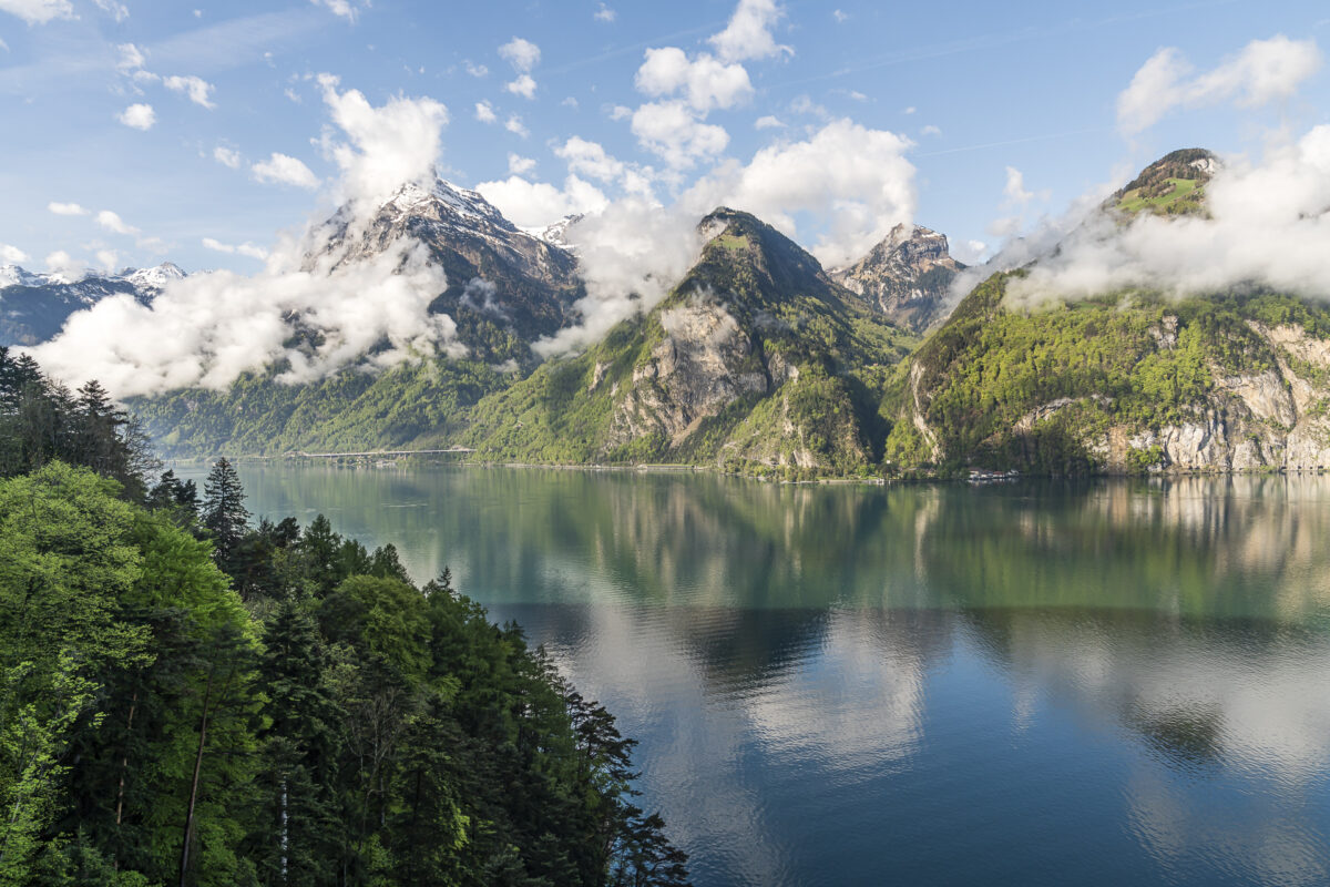
In search of a spring hike compatible with the mixed weather forecast, we spontaneously decided on a Saturday morning to tackle stages 3 and 4 of the Swiss Trail. If the rain front comes earlier than announced, we could easily break off the tour halfway. In addition, Lake Lucerne now attracts visitors in May with a particularly impressive backdrop thanks to its rich green colours.
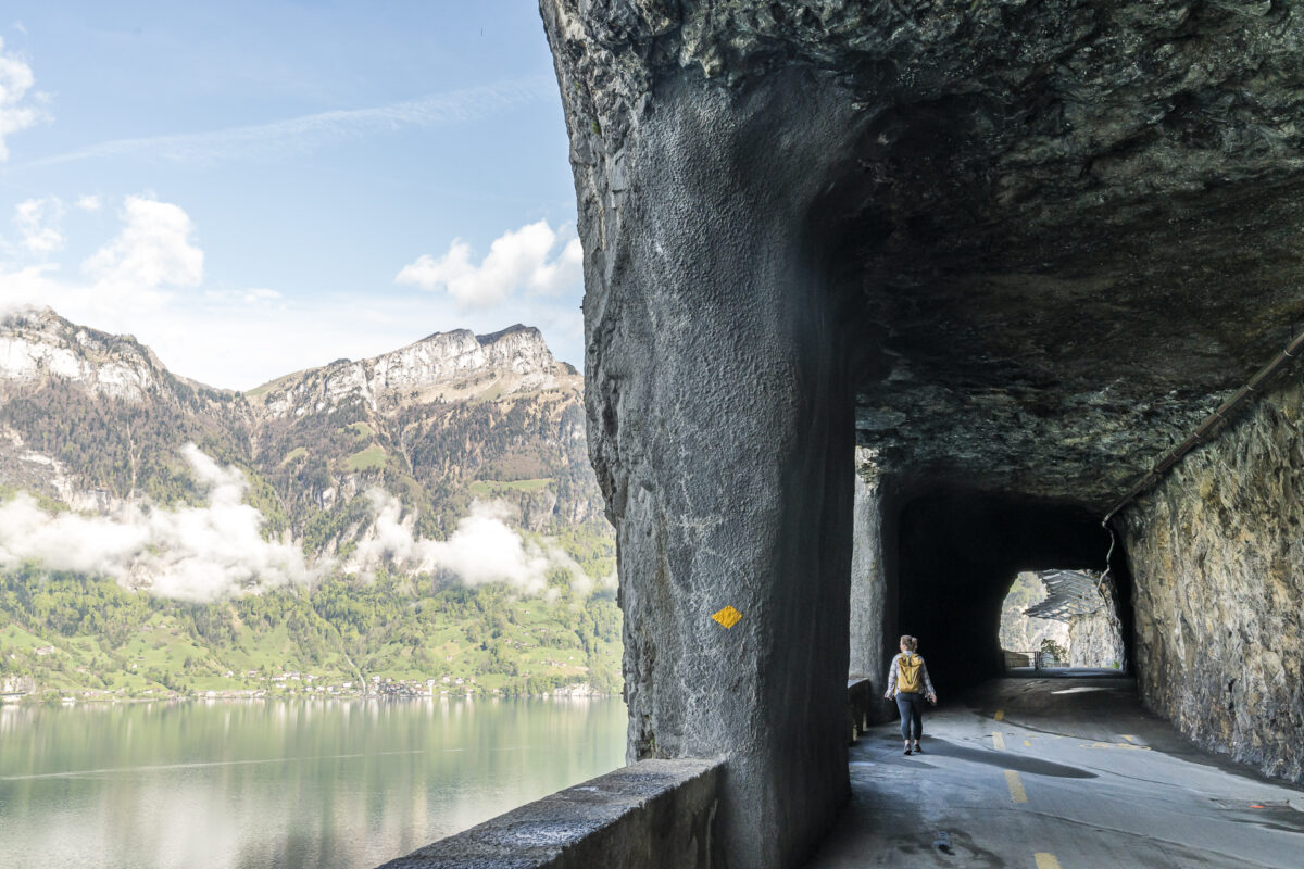
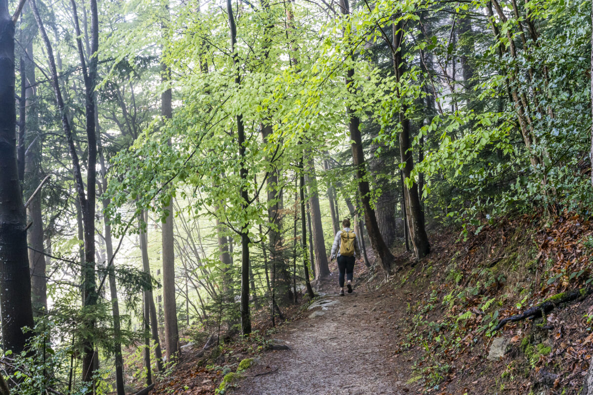
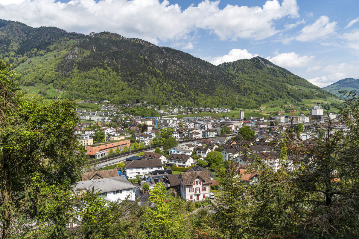
The third stage of the Swiss Trail starts at Flüelen train station, where we follow the signs along the wide lakeside path towards Ausserdorf. Here we cross the Gruonbach and walk along the narrowing path of the Axenstrasse steep face in the direction of Tellsplatte/Sisikon. There are an above-average number of steps to overcome on this section. Since these are slowly becoming noticeable in the thighs, they can also slowly explain the altitude difference on this route… At the Axenflue we meet the passage we already know from the bike tour around Lake Lucerne, which leads over the old route of the Axenstrasse carved out of the rock.
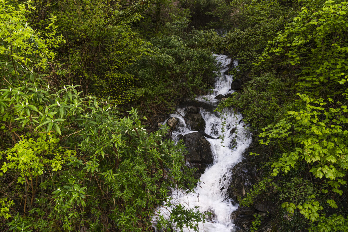
Shortly before the Tellsplatte, the hiking trail descends again through the forest to the lakeshore and then leads us along a secluded forest path to Sisikon. Shortly before the finish, there is another noisy encounter with the Axenstrasse.
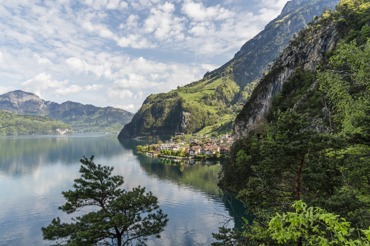
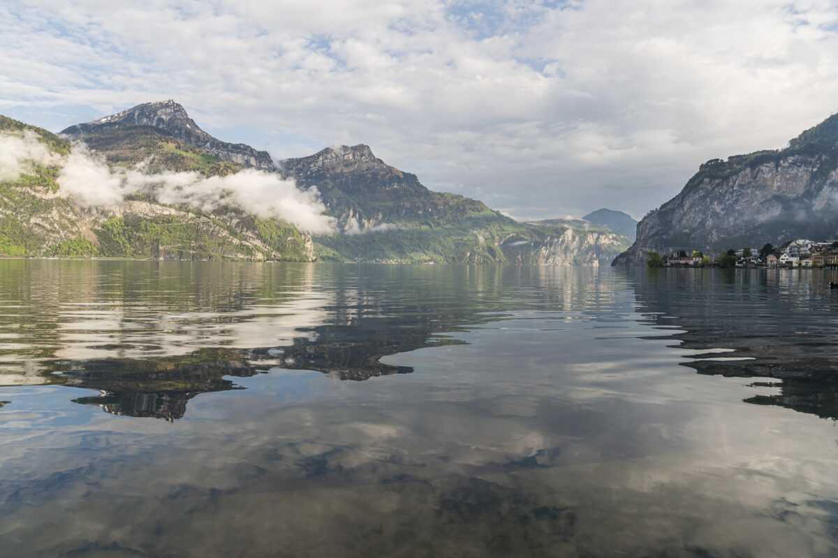
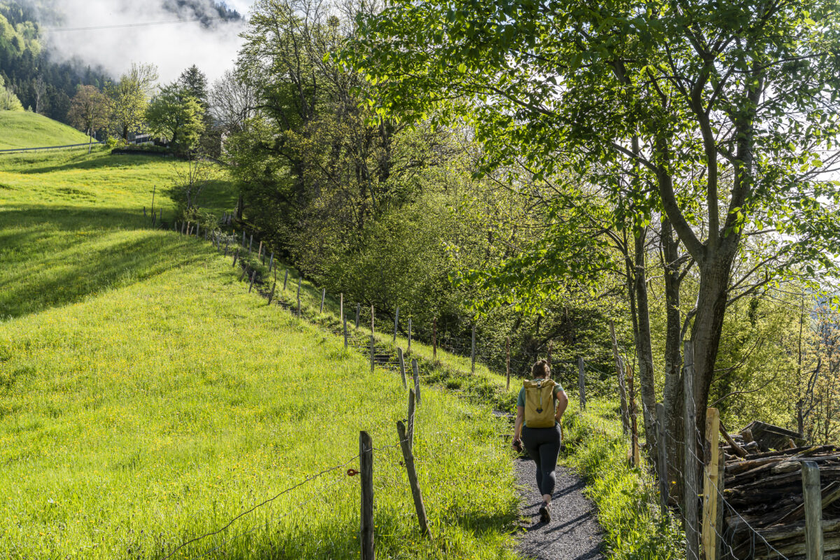
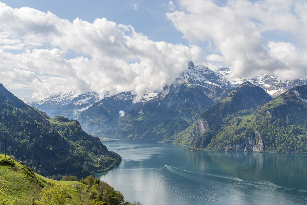
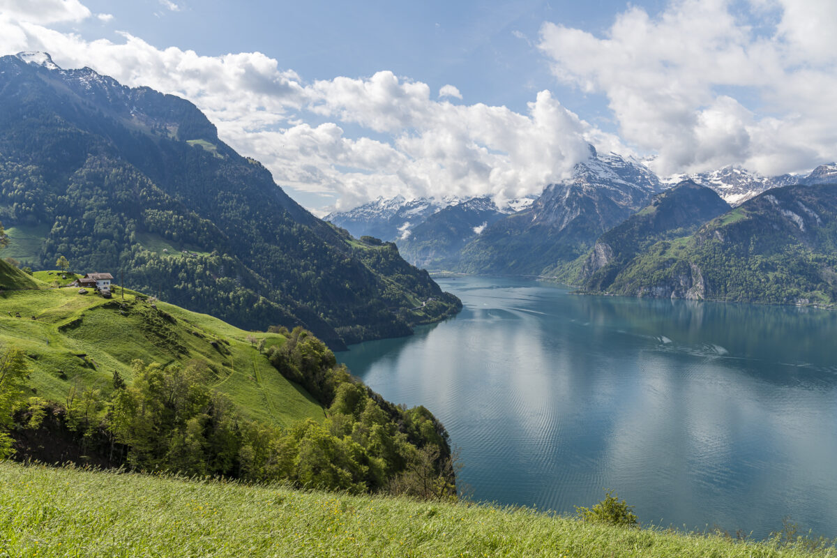
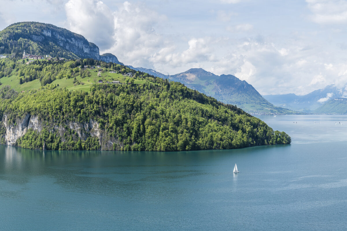
Along the panoramic flanks of Lake Uri
We cross Sisikon, cross the Riemenstaldenbach stream and then ascend the steeply ascending hiking trail towards Binzenegg. “Short but fierce” describes this passage quite well. But before you get completely out of breath, you’re almost there. Once the altitude has been mastered, it is advisable to pause for a short time to take in the comprehensive panoramic view in its full splendor. This panorama – magnificent!
This also makes up for the fact that the remaining 2.5 kilometers to Morschach lead over moderately attractive tarred roads.
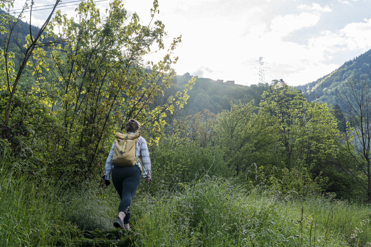
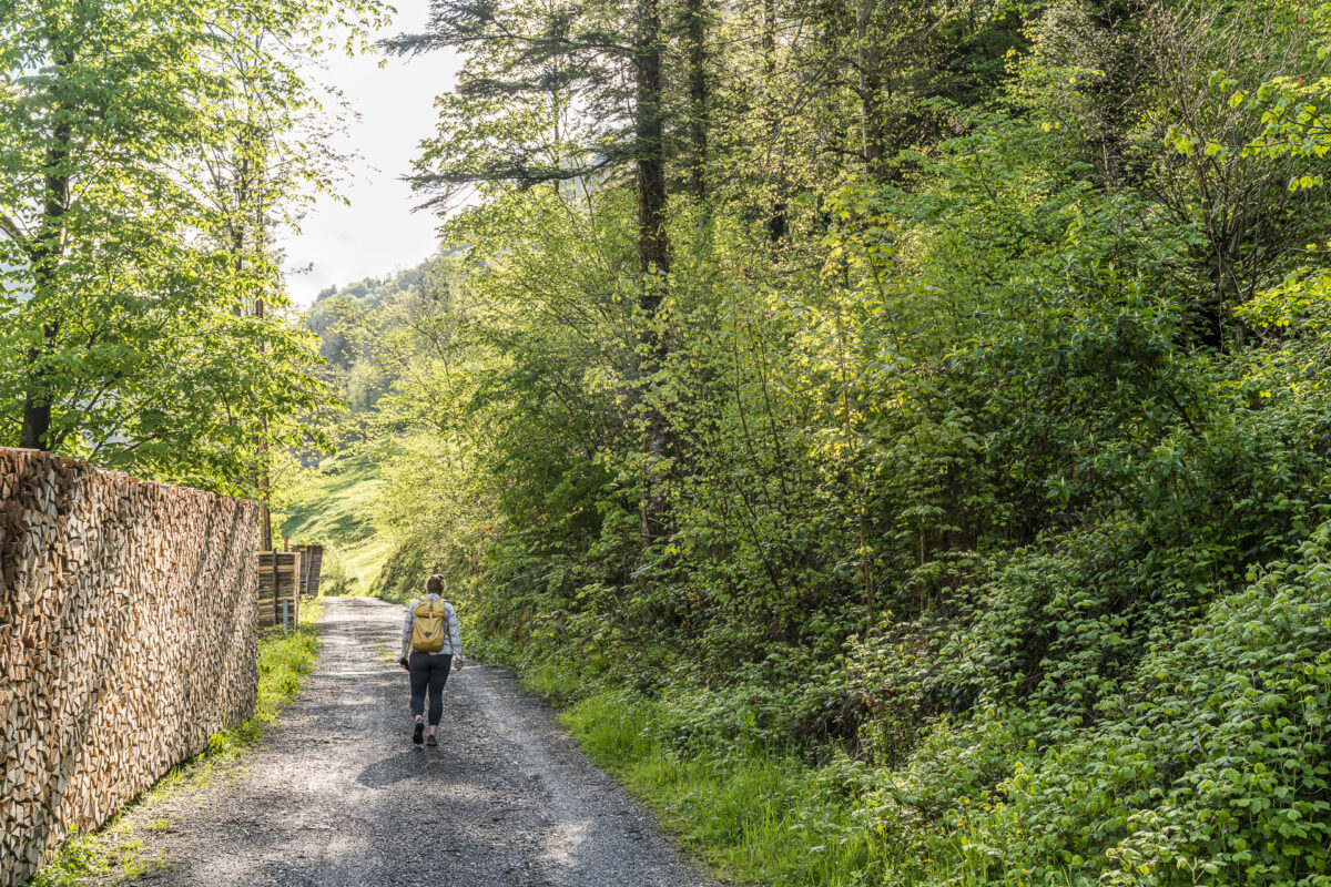
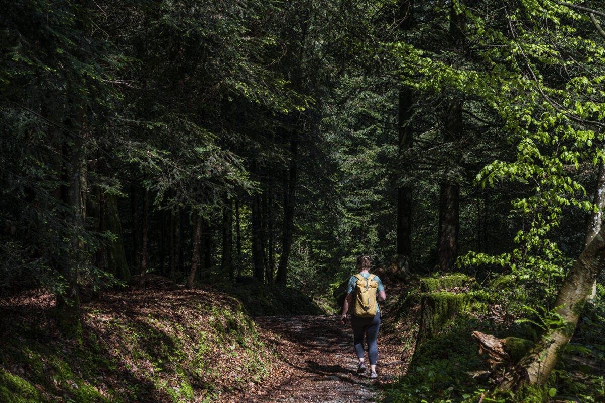
Descent through the Ingenbohl Forest
On the other hand, the last third of Morschach through the Ingenbohl Forest offers really beautiful forest paths. Another highlight: the view from the Chänzeli of Lake Lucerne.
Our conclusion: A really successful hiking trip to Central Switzerland. Thanks to a final spurt to Brunnen station, it also works perfectly for us in terms of public transport.
Practical tips for your hike on the Swiss Way
On the following map you can see the route of our hike on the Way of Switzerland. The route from Flüelen station to Brunnen station measures 16 kilometres and includes an ascent of a good 590 metres in altitude. The Path of Switzerland runs continuously on yellow-marked hiking trails. The trail is technically easy to walk, but requires a basic level of fitness due to the gradients. Our tour can also be easily divided into two stages (stage 1 Flüelen to Sisikon and stage 2 Sisikon to Brunnen). Please note that the path is not suitable for strollers due to various stairs.
Key data of the hike Flüelen – Sisikon – Brunnen
| Starting point | Flüelen railway station (435 m above sea level) |
| Reachability | accessible by public transport |
| Length | 16.1 kilometers |
| Elevation gain | ↗ 590 m 590 m ↘ |
| Duration | approx. 3:30 h to 4.30 h (without stop for refreshments) |
| Destination | Brunnen railway station (438 m above sea level) |
| Catering | various possibilities (also several fireplaces along the way) |
I have described further stages of the Swiss Way in these articles:
- On Switzerland’s path from Bauen to Rütli (stage 1)
- Flights of fancy on the Uri cable car hike (stage 2)
Leave a Reply