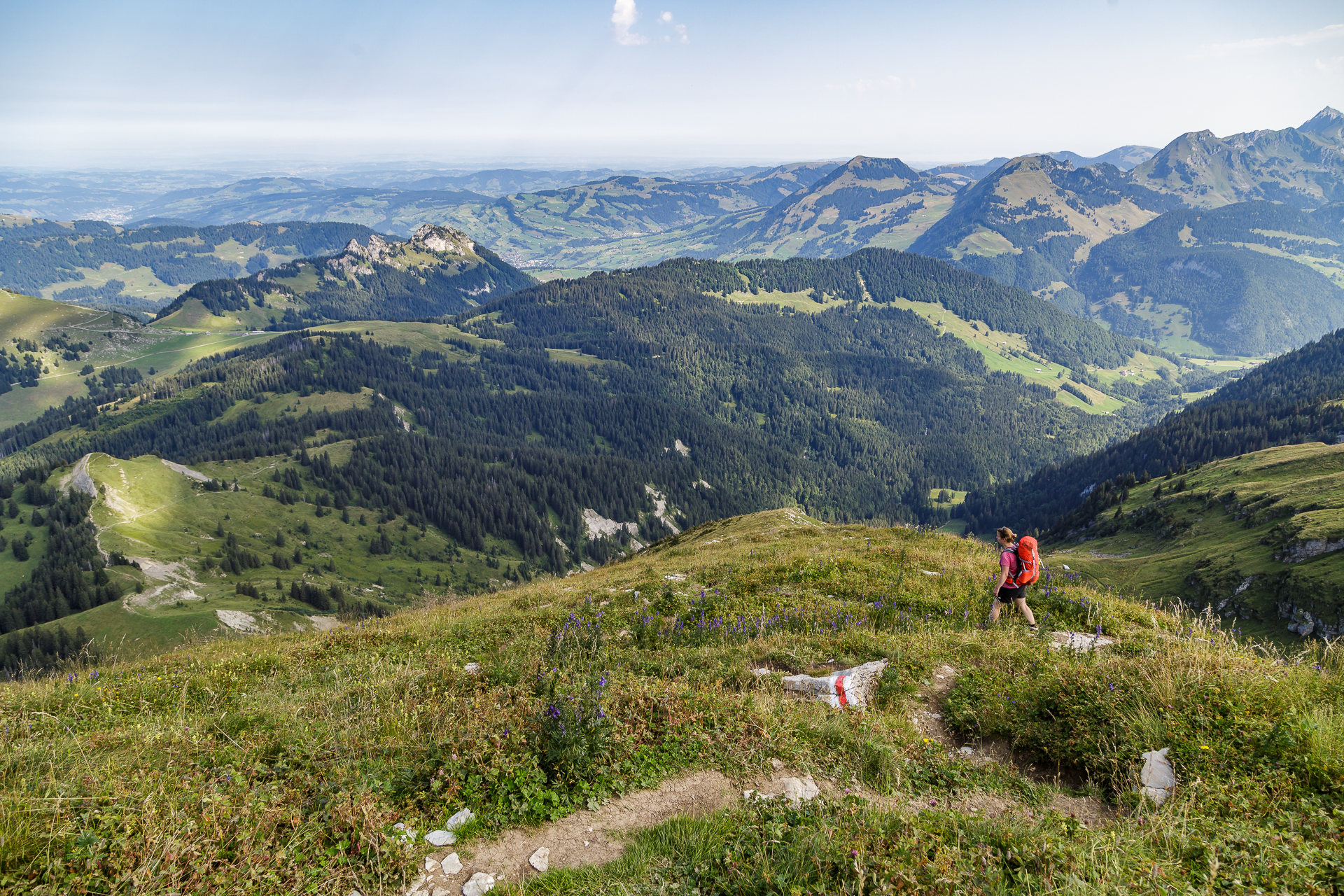
Toggenburger Höhenweg – 3-day hike
I pack my backpack and take with me…
This was the challenge I faced last Thursday evening when packing my belongings for the three-day tour along the Toggenburg High Trail. It’s not so easy to pack a 34l backpack for two people in such a way that a) everything goes in and b) it doesn’t get too heavy. Since the boyfriend mainly transported the photo material in his backpack, all the rest had to go into my backpack. In the run-up to the event, we had specifically bought two super functional, quick-drying microfiber cloths. Unnecessary, as it turned out. After all, water – let alone showers – is a rare commodity in the alpine huts. My backpack filled up in no time with a silk sleeping bag, flip-flops, spare clothes, rain jacket, fur and tripod. We would have mastered the challenge of packing for a multi-day tour. The hike can begin.
Day 1 – Wildhaus to Vordere Selunalp
Hard facts 1st stage:
around 14 kilometres and 950 metres in altitude / running time around 4.5 h
After a little more than two hours of driving from Zurich via Rapperswil and Wattwil to Wildhaus, we shoulder our backpacks at the Lisighaus post bus station. The first march is short-lived. Without further ado, we decided to overcome the first 200 meters of altitude to Oberdorf with the chairlift and make a short detour to the secluded Schwendiseen. Passing the Toggenburg idyll and with a view of the Säntis, we follow the hiking trail towards Sellamatt. On this section we are accompanied by a wide variety of bell sounds. Parallel to the Toggenburg High Trail runs the Sound Trail with 25 sound installations. A popular destination for family outings.
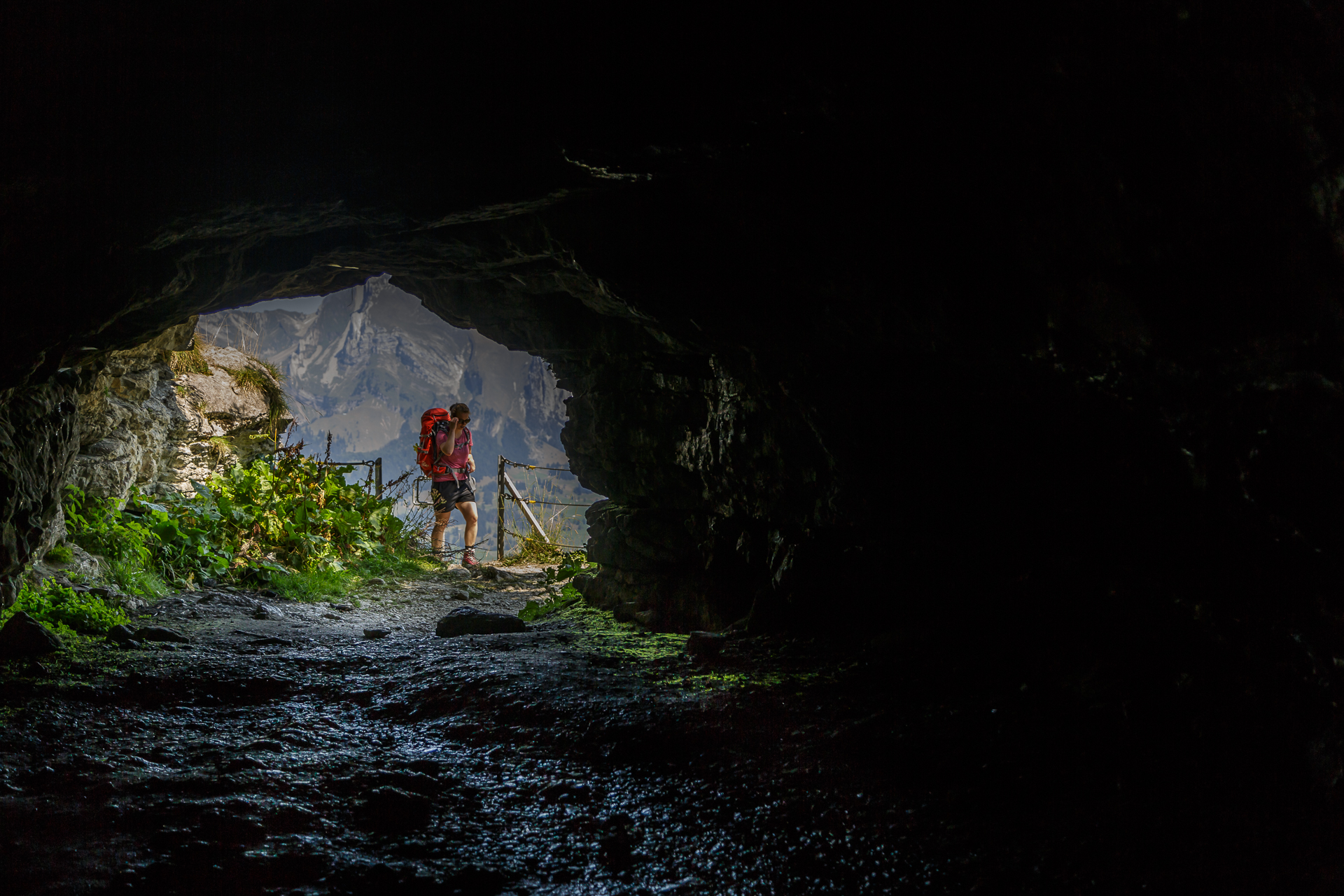
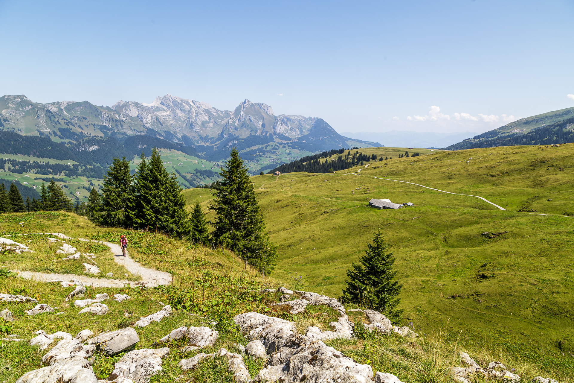
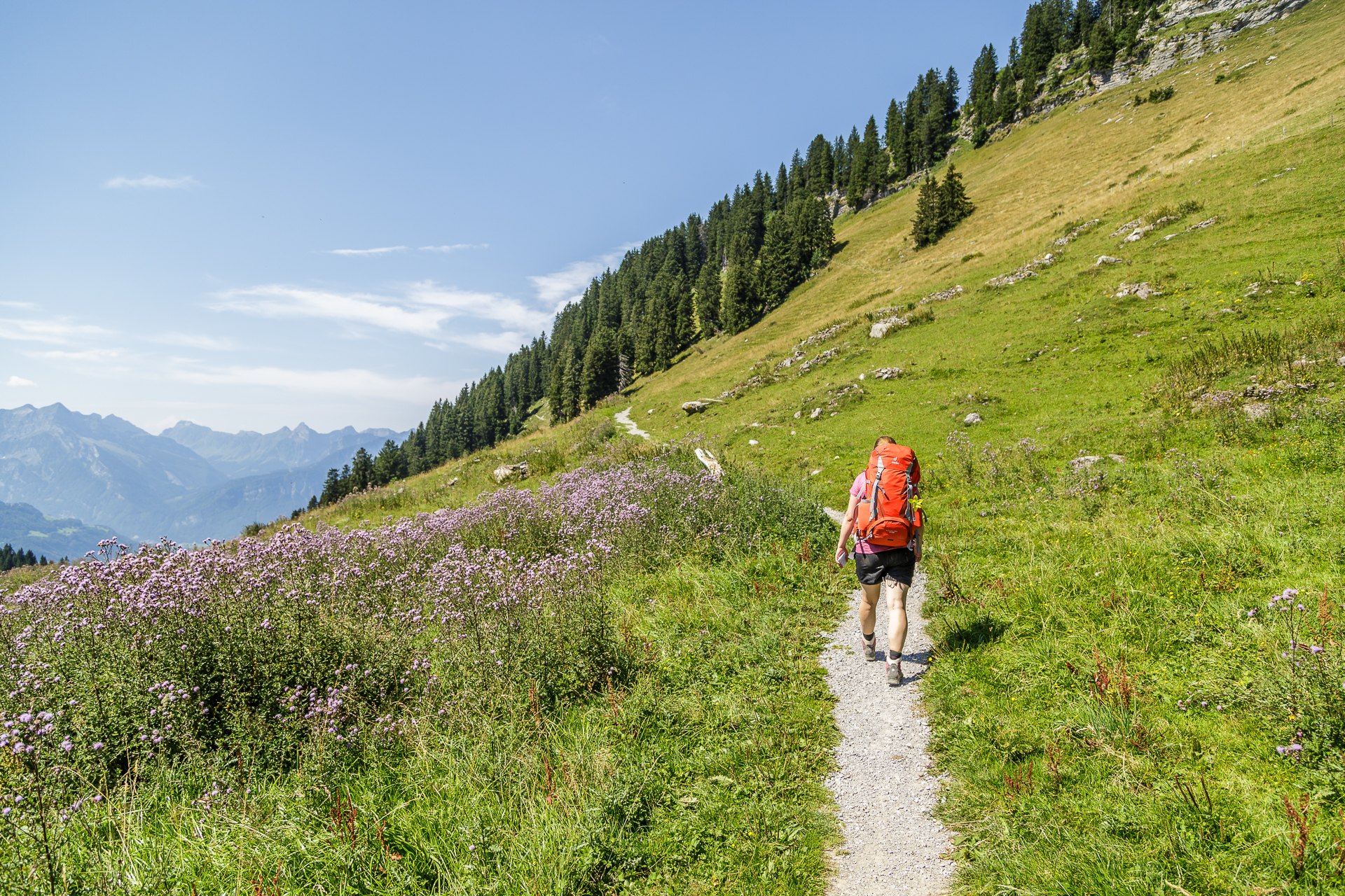
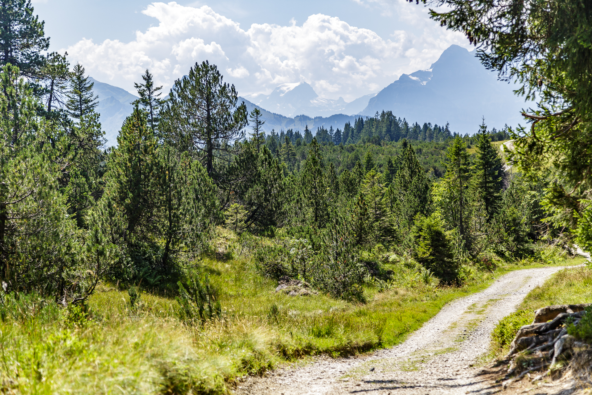
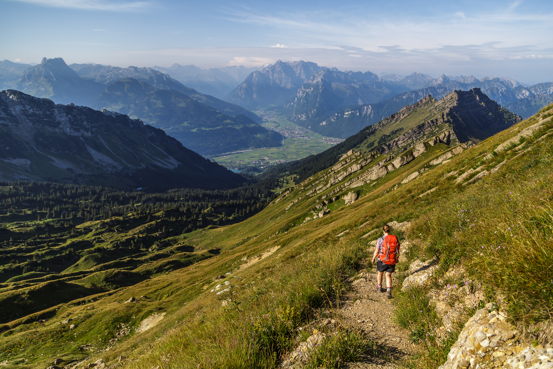
After Alp Sellamatt we pass through the gate “Welcome to the Toggenburg High Trail”. The hiking trail changes from a wide gravel path to a narrow nature trail. From here in the direction of Vordere Selunalp it is signposted as a mountain path. The sun is burning hot from the sky and the unusually heavy backpack presses on the shoulders. Perseverance is the motto. Shortly after Sellamatt, the view opens up to the Churfirsten, which I have only known from the opposite perspective so far. Impressively striking jagged peaks that stretch towards the sky. We follow the hiking trail over hill and dale to Breitenalp and just at the moment when I almost run out of breath, we reach the motivating signpost “Wildmannlisloch 15 min”. The energy is back and after a look into the legendary cave, I treat myself to a Toggenburg Schlorzifladene in the Wildmannli mountain restaurant.
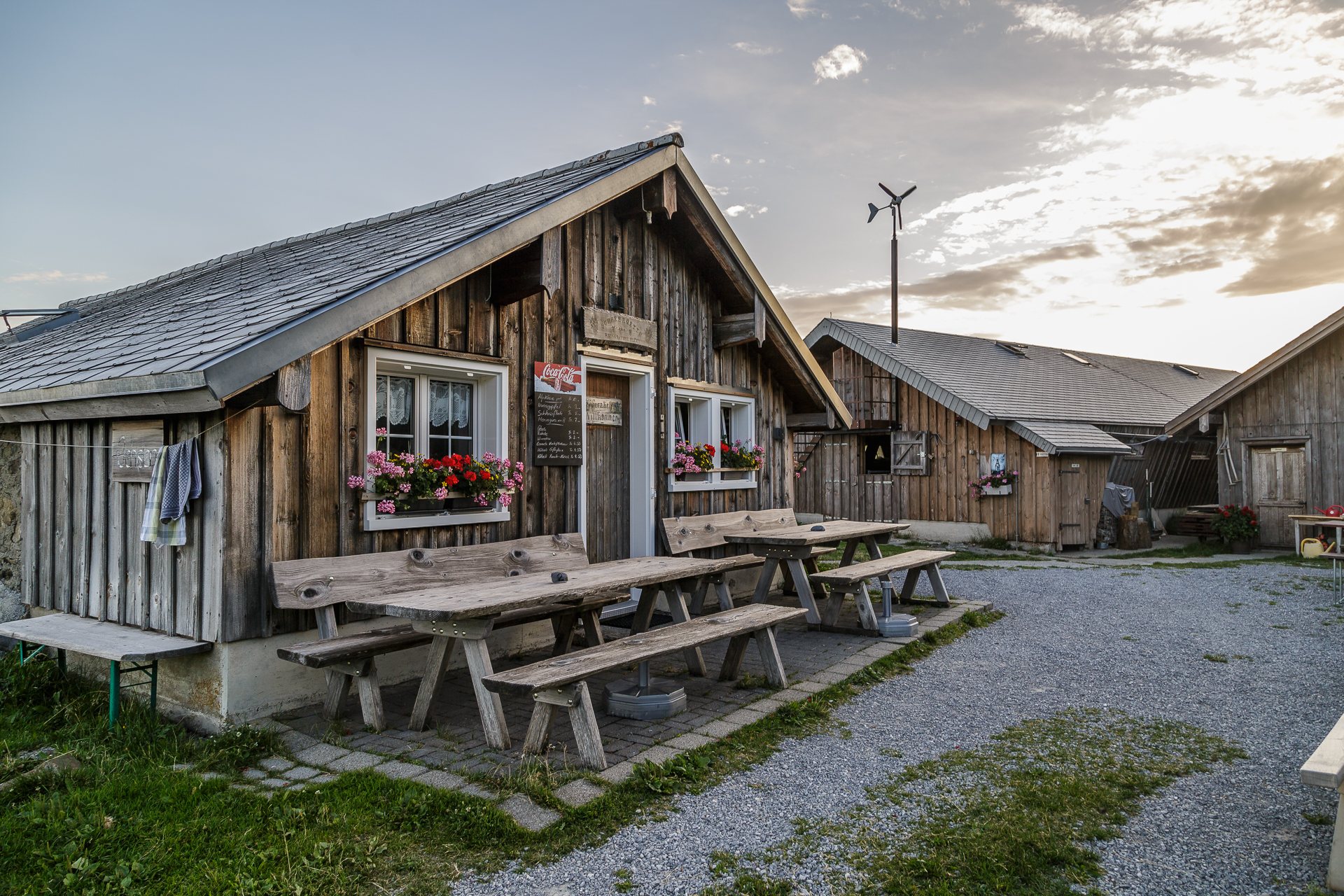
From here, it is only a stone’s throw to our destination for the day, the Ochsenhütte. Once there, we sit down on the sun terrace, put our feet up and enjoy the rest of the afternoon the peaceful alpine life.




Day 2 – Vordere Selunalp to Alp Oberchäseren
Hard facts 2nd stage:
approx. 15 kilometres and 800 metres in altitude – with ascent to the Leistchamm 1,100 metres in altitude / running time approx. 5.5 – 6.5 h
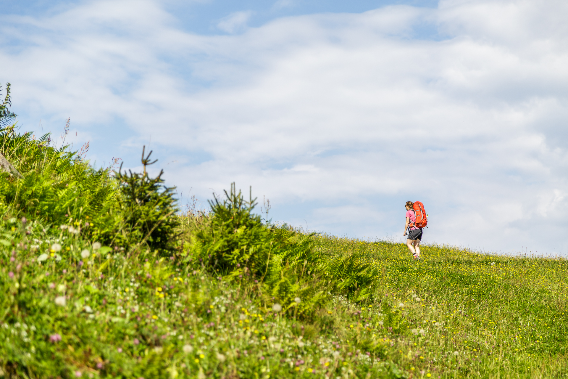
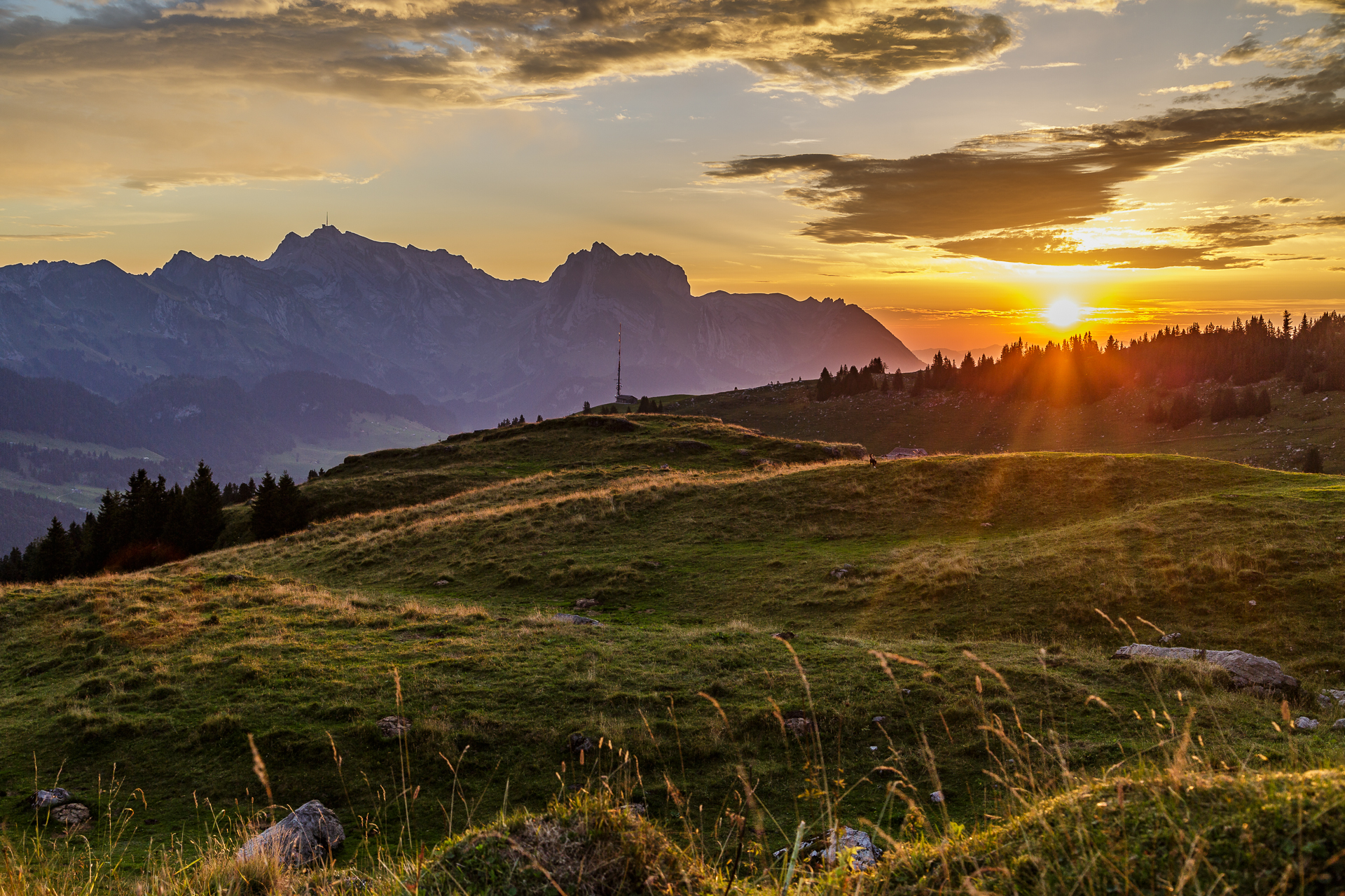
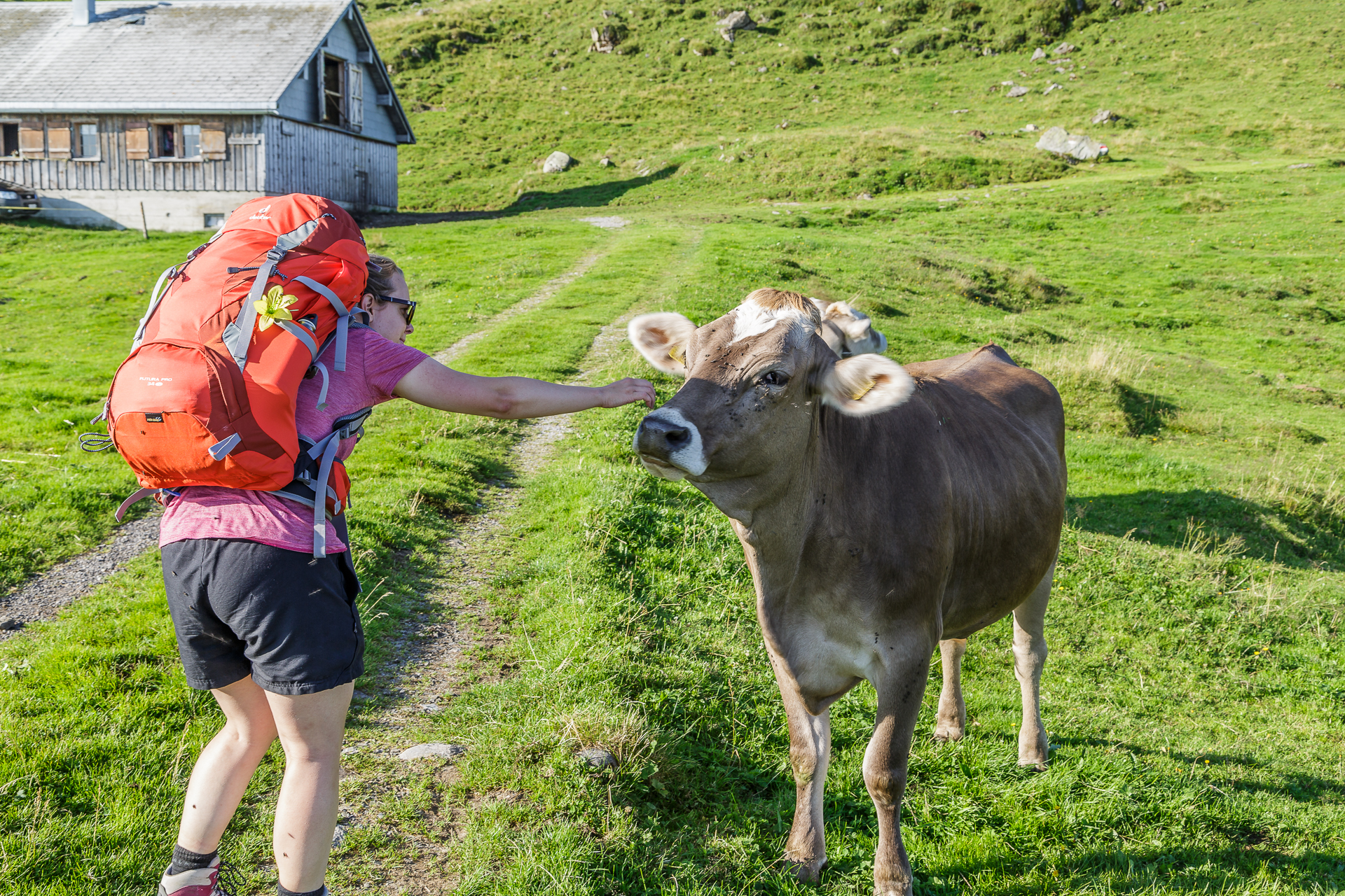
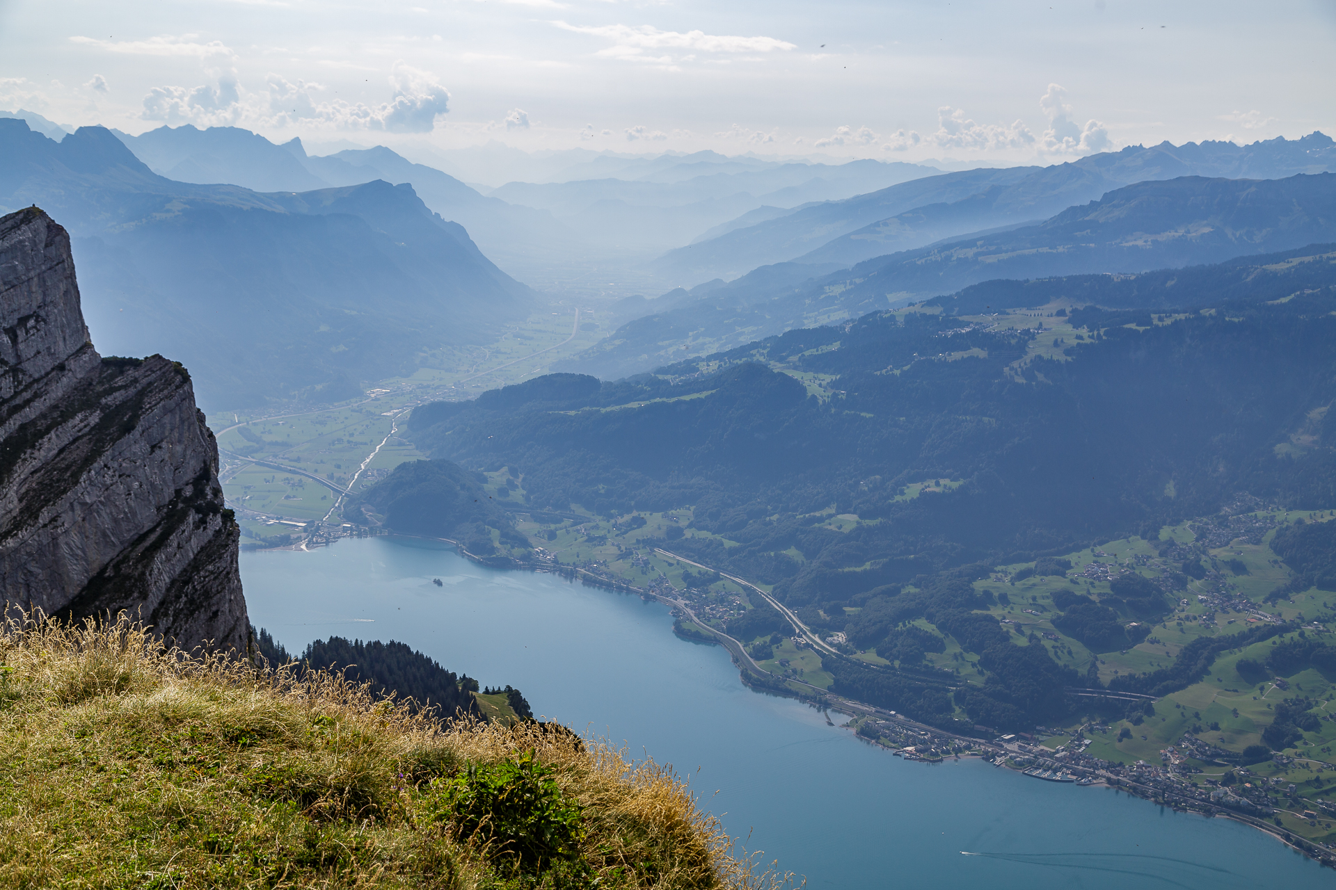
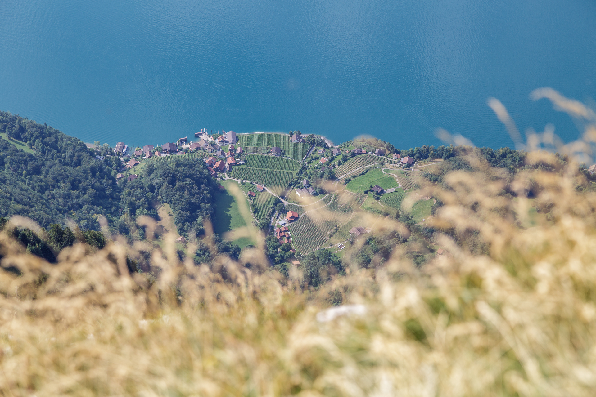
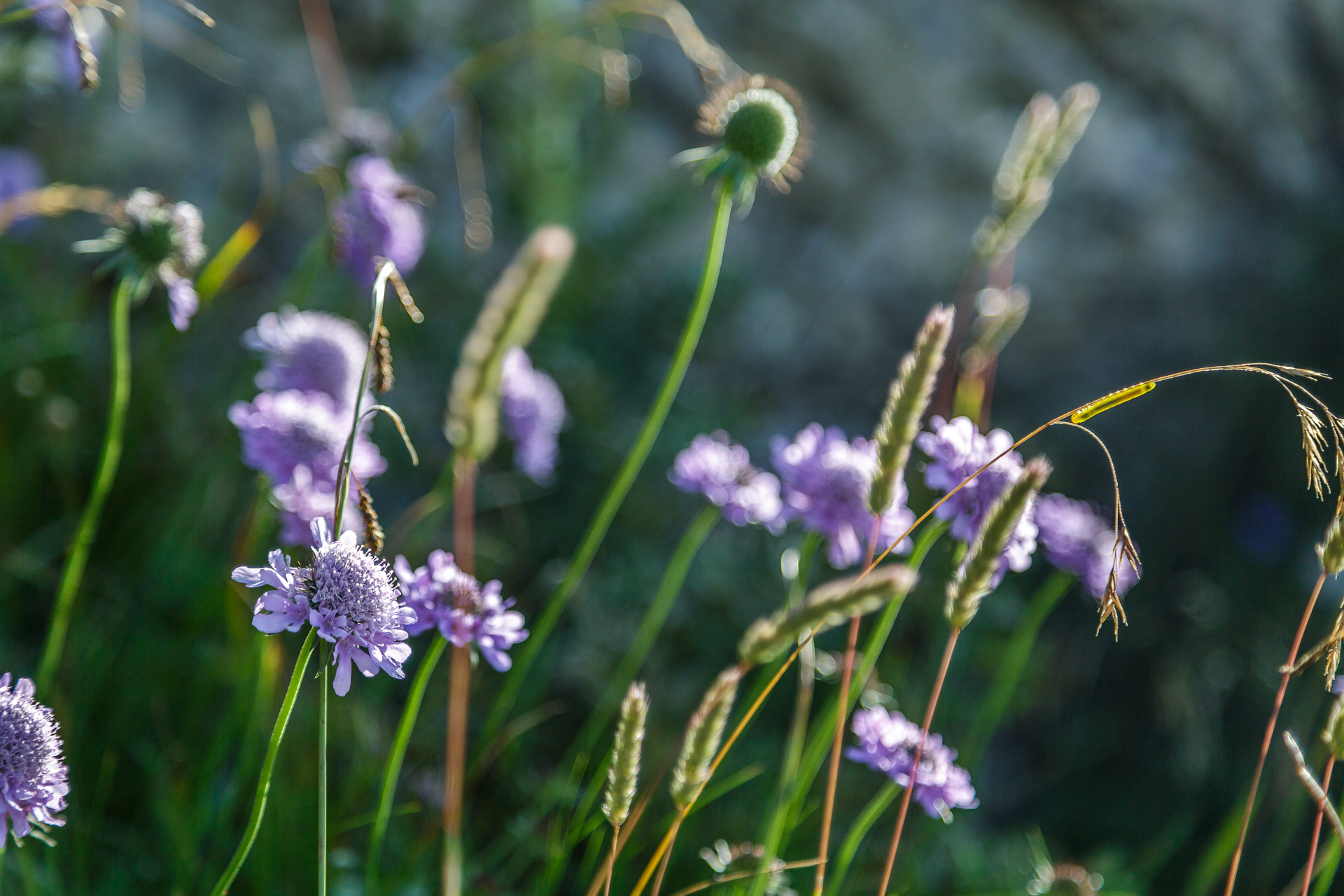
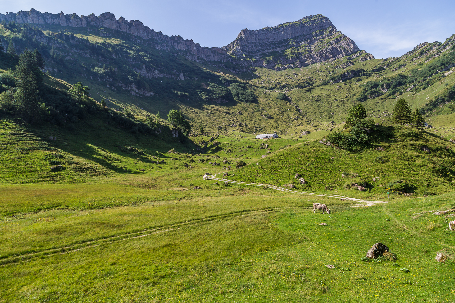
The second day of hiking starts with the first ray of sunshine peeking out from behind the Säntis. A glorious awakening. After a hut breakfast in the sunshine, we get on our socks. Today the most demanding stage awaits us with the “kick” and the additional loop on the Leistchamm. If we are already hiking so “close” to a peak, we can take it with us right away. That’s my thought. 3 hours later I will be cursing on the steep path up to the summit above. But first we hike across the alpine pastures and make nice acquaintances with cheeky cows. The wild karst landscape and the flora that nests in it offer a lot for the eye and compensate for the steep ascent to the highest point of the Toggenburg High Trail at 1,770 m above sea level. But that’s not enough for us. After the pedal, we branch off to the left and climb another 300 metres in altitude to the Leistchamm, which is one of the foothills of the Churfirsten. All the effort is quickly forgotten with the panoramic view over Lake Walen (including a view down to the wine village of Quinten) to the Glarus Alps.
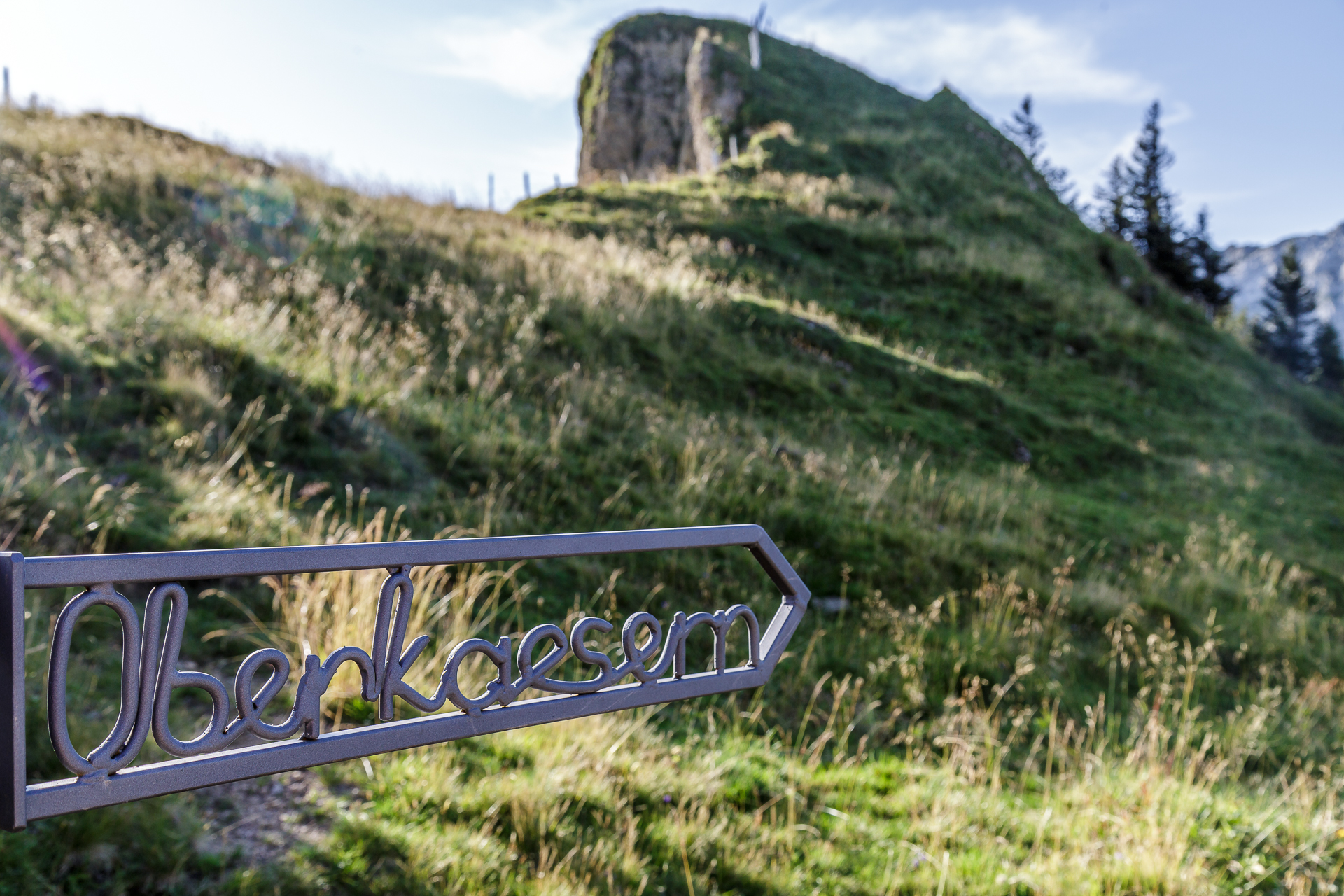
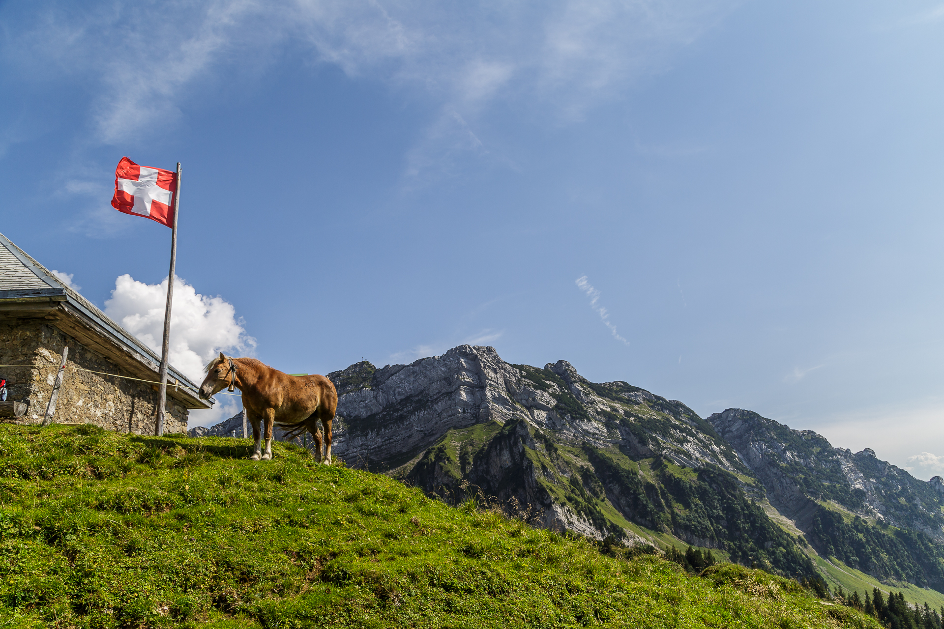
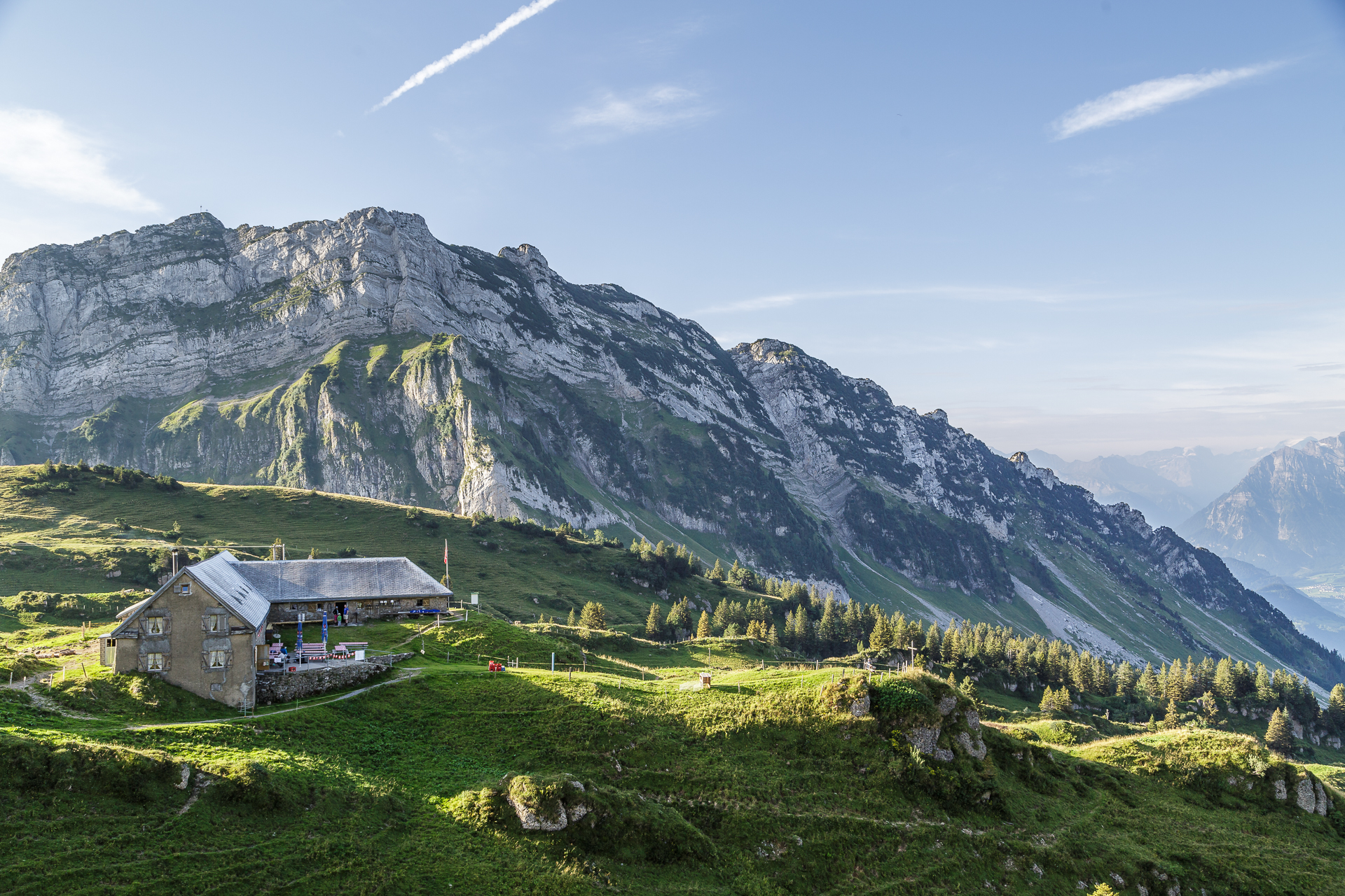
The additional meters of altitude become noticeable in the legs after a while and the rest of the way via Vorder Höhi and Hinter Höhi, past the high moor of Amden to the Vordermatt is long. I have to grit my teeth on the last meters of altitude up to the stage destination Oberchäseren. But then – we made it! As a reward, we treat ourselves to a plate before dinner and enjoy the magnificent view of the Mattstock, the Linthal and the Speer. It is precisely these moments that make up for all the exertions of the day.





Day 3 – Alp Oberchäseren to Tanzboden
Hard facts 3rd stage:
about 9 kilometers and 500 meters in altitude (incl. Speer) to Tanzboden, another 6 kilometers to Ebnat-Kappel / running time about 5 h
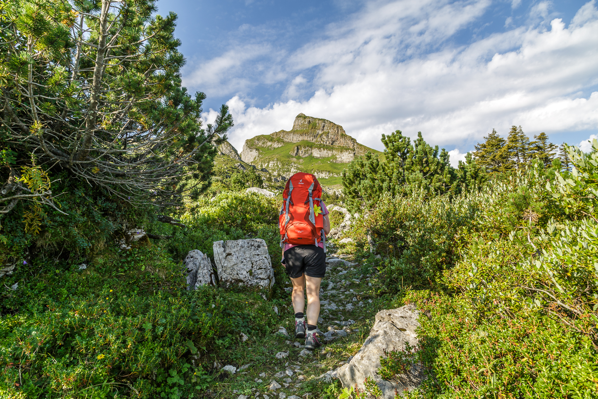
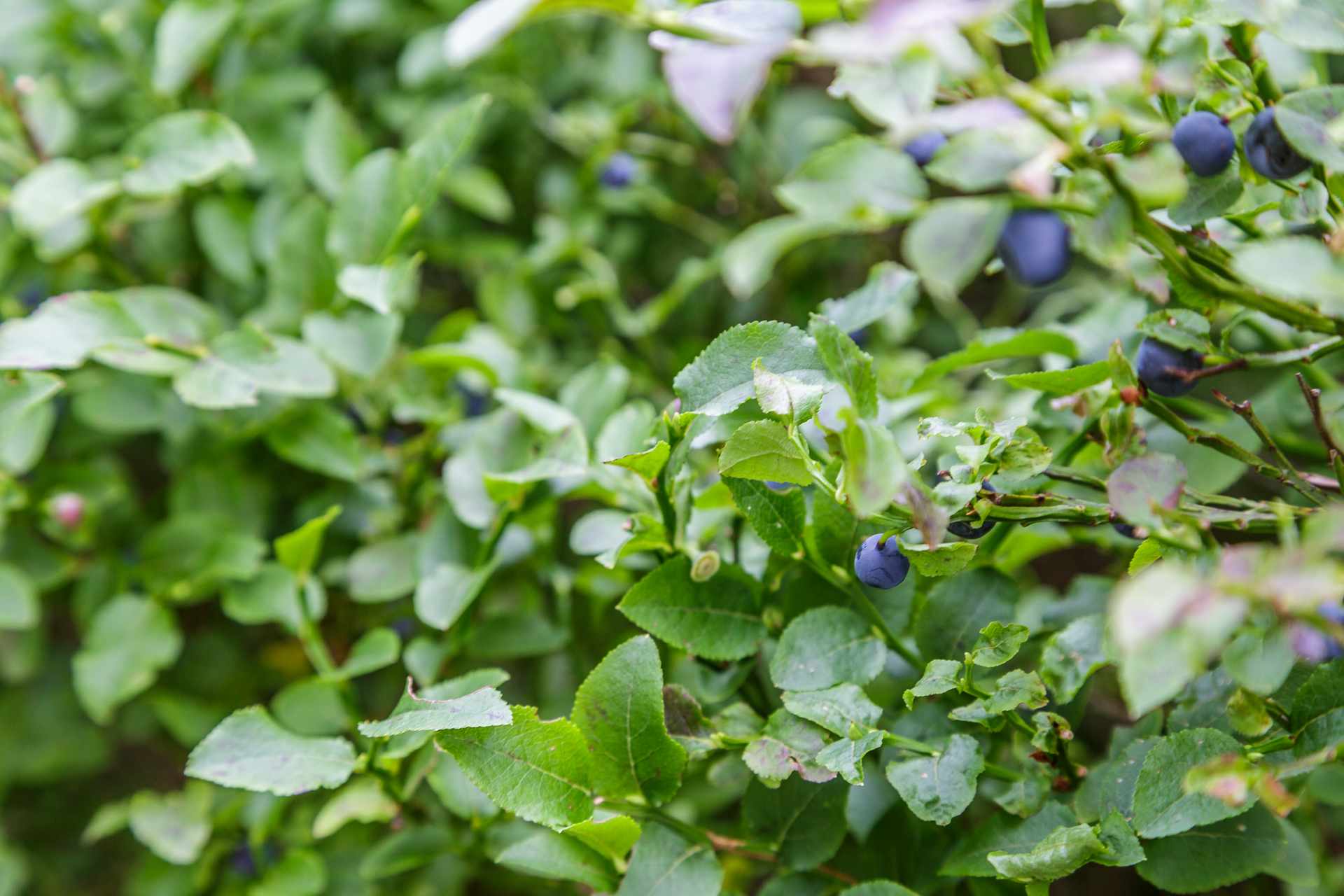
On the third and last day, it’s time to go high again. We start at Alp Oberchäseren shortly after o’clock in the morning and tackle the ascent to Europe’s highest Nagelfluh mountain – the Speer. A 50-minute ascent is signposted at the hut. Less than 40 minutes later, we are already at the top and admire the 360° view over the Toggenburg, the Appenzell Alps, the Linth plain to Lake Zurich. Afterwards you have to walk around the Speer on the Toggenburg High Trail. In the impassable, partly rocky terrain, two or three challenging spots await us hikers. On the Elisalp we can still admire the previously conquered spear from its back and steal wild blueberries on the side of the path. Afterwards, the hiking trail leads along the ridge through cow pastures to the dance floor. This is the stage destination of the 3rd hiking day. For us, unfortunately, it is only a stopover on the way back to the valley.
We fortify ourselves with a homemade apricot cake on the terrace of the mountain inn and then hike two hours down the valley to Ebnat-Kappel. The descent from almost 1,400 m above sea level to 600 m above sea level makes your knees burn. On the other hand, the backpack doesn’t weigh so heavily on my shoulders anymore. The next multi-day tour can come – we would be trained now.




Practical tips and information about the Toggenburg High Trail
The Toggenburg High Trail leads in a total of six stages and 87 kilometres from Wildhaus to Wil. Our route of the first three stages can be found on the map below. On the first three stages, we covered a total of 47 kilometres, 2,600 metres uphill and 3,000 metres downhill. The high-altitude trail runs in sections on yellow-marked hiking trails as well as on white-red marked mountain hiking trails. The most demanding section is the “Tritt” at the Leistchamm. Surefootedness is required here.
Note: This trip was supported by Ostschweiz Tourismus – thank you very much for this. As always, my readers can be sure that I always represent my views and enthusiasm here.



Leave a Reply