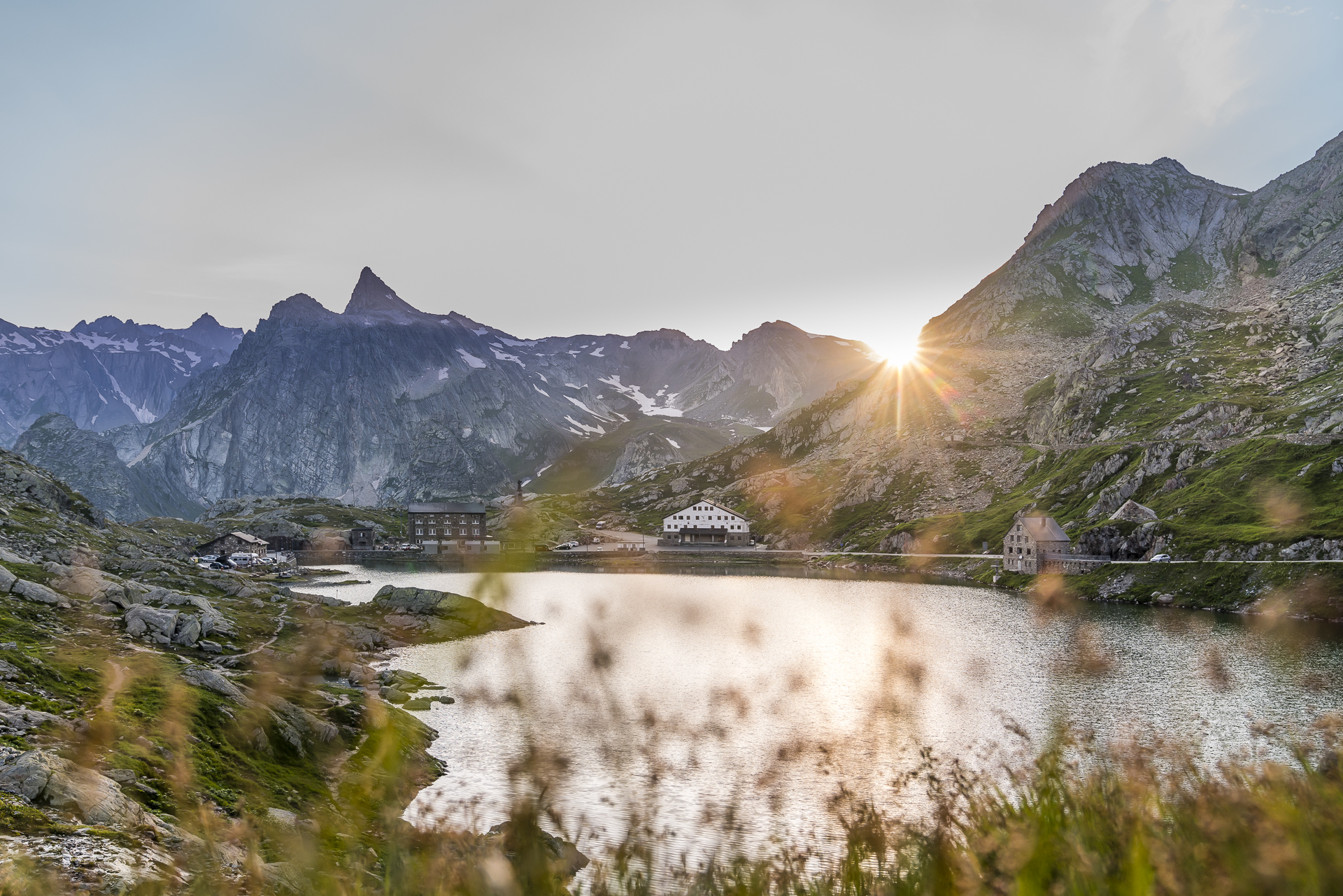
Tour du Saint-Bernard: 4-day trekking over the Great St. Bernard Pass
Advertising: Contribution in collaboration with the Pays du Saint-Bernard region
“The next detour to the Pays du Saint-Bernard region will certainly not be long in coming,” I wrote here on the blog after last year’s hiking weekend around Champex-Lac. No sooner said than done! At the end of July, we packed our hiking backpack again for a detour to the southwesternmost tip of Switzerland. This time we followed the “Tour du Saint-Bernard” over hill and dale around the Great St. Bernard. A varied multi-day hike, which comes up with some highlights off the beaten track.
The Tour du Saint-Bernard at a glance
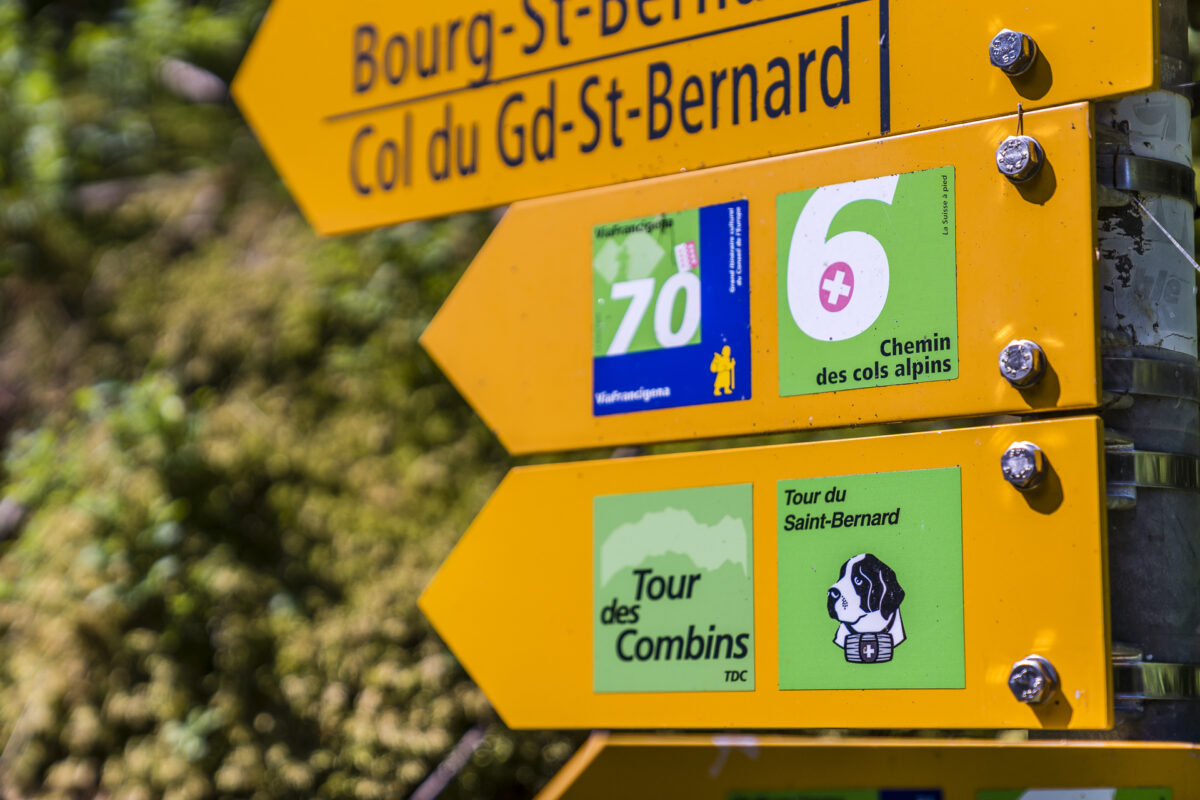
The Tour du Saint-Bernard is a 6-day trek that leads in the border area between Switzerland and Italy on mostly lesser-known paths through the wild valleys and over passes that have been used for centuries. The most famous of these is the namesake of this multi-day hike: the Great St. Bernard. It was designed as a complement to the two already existing and internationally renowned trekking routes “Tour des Combins” (also 6 days) and the 170-kilometre circuit of the “Tour du Mont Blanc”. The Tour du Saint-Bernard includes the following stages:
Stage 1: From Bourg-St-Pierre to the Great St. Bernard Pass Stage 2: From the Great St. Bernard Pass
to the Bonatti Hut Stage 3: From the Bonatti Hut to La Fouly Stage 4: From La Fouly
to La Tsissette Stage 5: From La Tsissette
to the Milles Hut Stage 6: From the Milles Hut
to Bourg-St-Pierre
Each stage has to cover around 13 to 17 kilometres of route as well as a sporty 1,000 to 1,300 metres in altitude. The tour highlights include the section on the Tour du Mont Blanc, the crossing of a nature reserve and a three-thousand-metre peak, which can be easily integrated into the 6th tour stage as a route variation. If you don’t have the time for a six-day multi-day hike or if you generally prefer shorter tours – no problem! Thanks to the dense network of hiking trails in the Pays du Saint-Bernard region, the Tour-du-Saint-Bernard can be easily shortened and/or reassembled with built-in variants. Further information and bookable packages can be found on the website of the Tour du Saint-Bernard linked below.
We were also on a route variation of the Tour du Saint-Bernard. We divided the route as follows:
Stage 1: From Bourg-St-Pierre to the Great Saint Bernard Pass (analogous to the Tour)Stage 2: From the Great Saint Bernard Pass to La Fouly (variation via Fenêtre de Ferret)Stage 3: From La Fouly to La Tsissette (analogous to the Tour)Stage 4: From La Tsissette to Orsères (to Liddes analogous to stage 5 of the Tour)
A super nice four-day multi-day hike, which gave us some beautiful moments despite the weather forecast that seemed gloomy in advance.
Tour du Saint-Bernard Day 1: from Bourg-St-Pierre to the Great St. Bernard
For the start of our hike on the Tour du Saint-Bernard, we caught one of the rare splendor days of this summer. On arrival in the tranquil mountain village of Bourg-St-Pierre, which has already been crossed by millions of people due to its location on the pass road to the Great St. Bernard, we are greeted by a hot and humid heat despite the altitude. Classic swimming weather, isn’t it? Instead, we are allowed to fight our way uphill to the Great St. Bernard with our heavy backpacks.
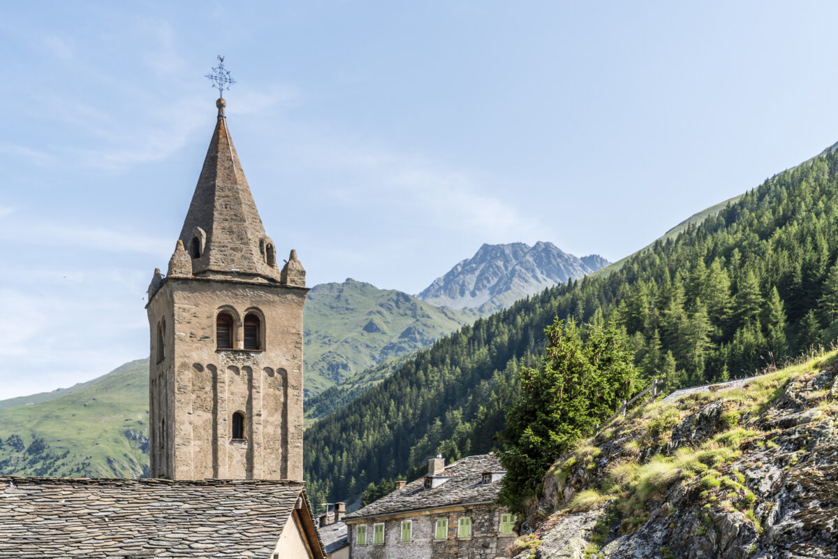
With a last look back at the pretty stone church tower of Bourg-St-Pierre, we cross the roaring Torrent du Valseroy and then follow the signpost to the side of the valley opposite the pass road. This first stage runs in parts parallel to the ancient pilgrimage route of the “Via Francigena“. Over mostly wider gravel paths we are led up to the dam wall of the Lac des Toules. What is particularly exciting here is the “thing” that floats on the reservoir like an oversized raft. Since the beginning of December 2019, a floating solar system has been in operation on the lake as part of a pilot project. This is an interesting and perhaps groundbreaking approach to making more efficient use of existing infrastructures.


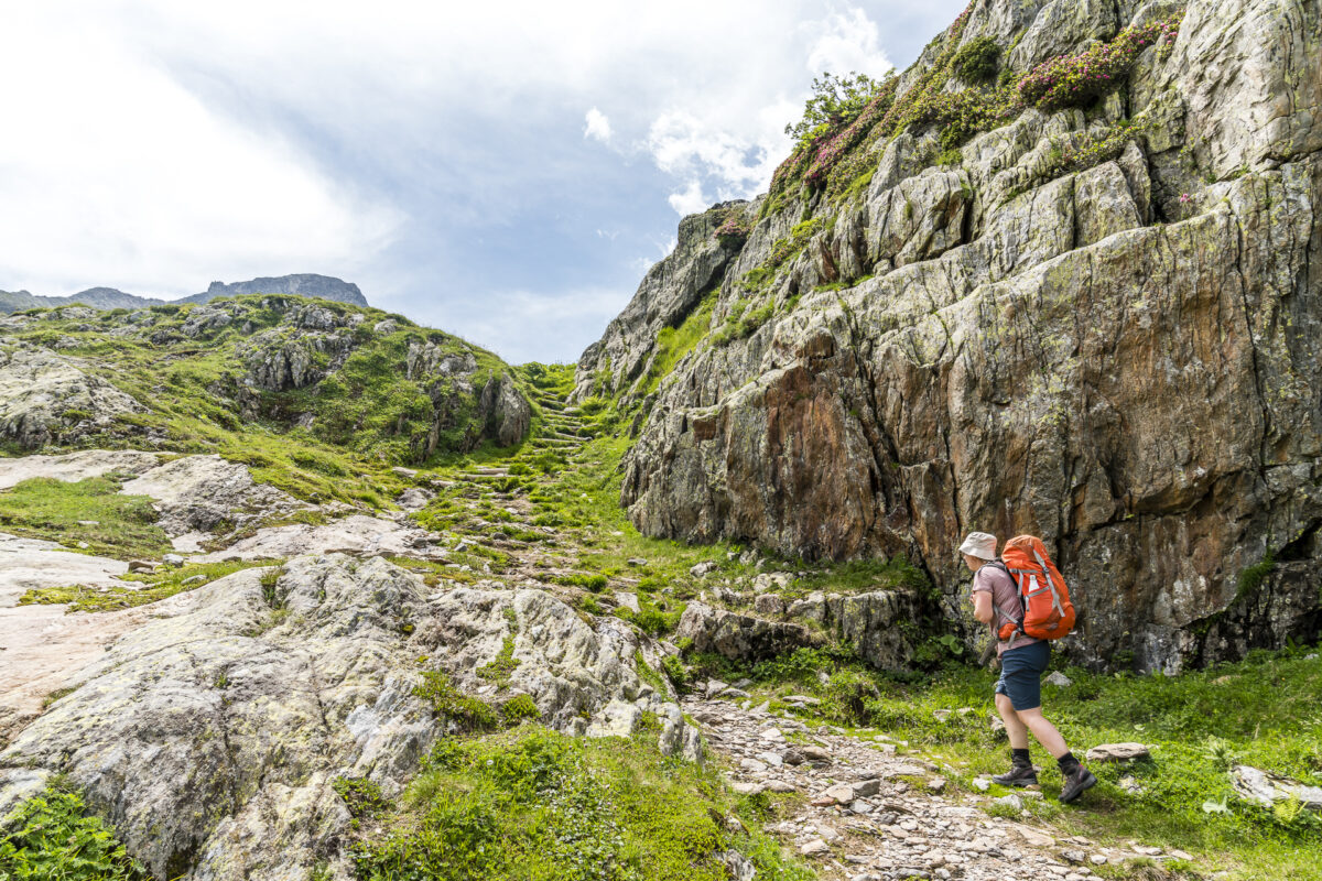
Shortly after leaving the Lac des Toules behind us, we are confronted with the first route decision at Alp la Pierre. The sporty version of the Tour du Saint-Bernard does not lead from here on the direct route following the Via Francigena on the Great St. Bernard, but offers an even higher pass crossing – the Col des Chevaux at 2,714 m above sea level. The backpacks weighing heavily on our shoulders on the first day, the warmth and also the uncertainty as to whether we would not come across stubborn and tricky snowfields to cross at the back of the Combe de Drône, lead us to continue following the old pilgrimage route.
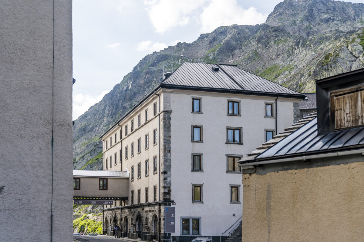
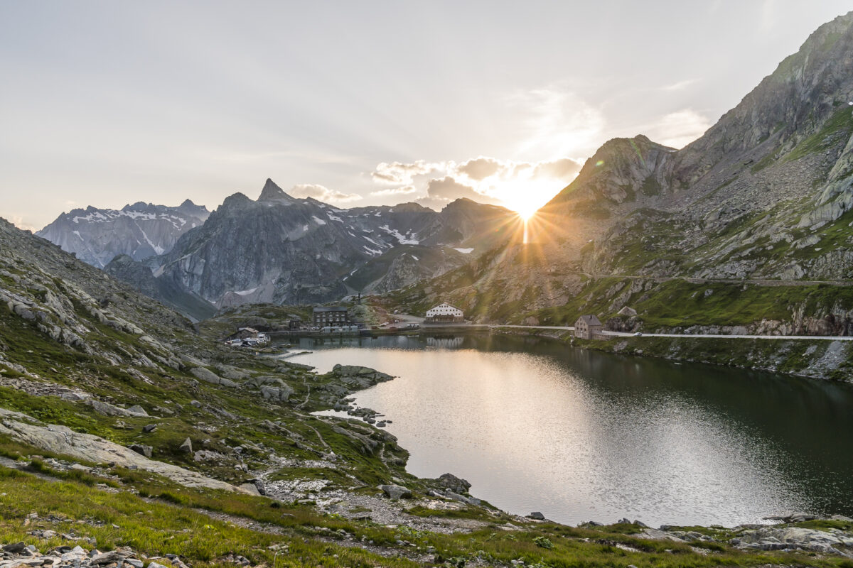
When, after almost four hours of walking, the hospice on the Great St. Bernard appears high above us, I can feel how important this warm and dry place in the middle of this wild mountain landscape was in earlier times. The pass between the Aosta Valley and the Lower Valais was already one of the most important Alpine crossings in Roman times. Around the year 1050, the hospice was founded by the Augustinian canons. Since then, it has served as a mountain shelter for travellers.
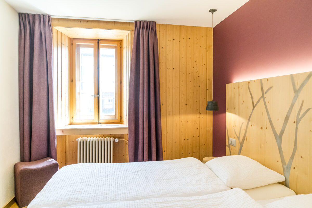
Right next to the Hospice du Saint-Bernard is l’Auberge de l’Hospice. While the hospice offers simple dormitories for overnight stays, the hostel opposite offers pretty, renovated double rooms with integrated shower/WC. A thoroughly comfortable place to spend the night. The only thing I would not recommend is booking the half-board menu. Here you prefer to take something from the daily menu or a fondue. Otherwise, it is worth spending an evening at this historic place in the midst of the most impressive mountain scenery.
Key data of the hike Bourg-St-Pierre – Gd.-St.-Bernard
| Starting point | Bushaltestelle Bourg-St-Pierre, Commune (1,632 m a.s.l.) |
| Reachability | Accessible by public transport |
| Length | 11.9 kilometers |
| Elevation gain | ↗ 1,046 m 222 m ↘ |
| Duration | 4:15 p.m. |
| Destination | Bushaltestelle Le Grand-St-Bernard, Hospice (2,469 m a.s.l.) |
| Catering | Buvette at Lac des Toules and at the Restaurant de l’Auberge (at the top of the pass) |
Tour du Saint-Bernard Tag 2: über das Fenêtre de Ferret nach La Fouly
Maybe I talked about the oppressively hot summer weather once too often the day before. At least we get to feel the other side of the coin on this second morning. The mountains of the Great St. Bernard, shimmering bright red in the last daylight the evening before, are grey and cloudy. The motto: On the following 13 kilometers to Fouly, don’t get too much rain.
Accordingly, we start the tour early and follow the hiking trail across the border to Italy. We continue along the pass road until we turn onto route no. 210 (Les cols du Grand-St-Bernard) at Baou, which zigzags 340 metres uphill to the Fenêtre de Ferret. Despite limited visibility, thanks to good signposting, we navigate unerringly through the rocky landscape in the high alpine border area between Switzerland and Italy.
Now the highlight of this second stage would actually follow: the view of the picturesque Lacs des Fenêtres. The three mountain lakes make for a spectacular photo backdrop in good weather conditions.
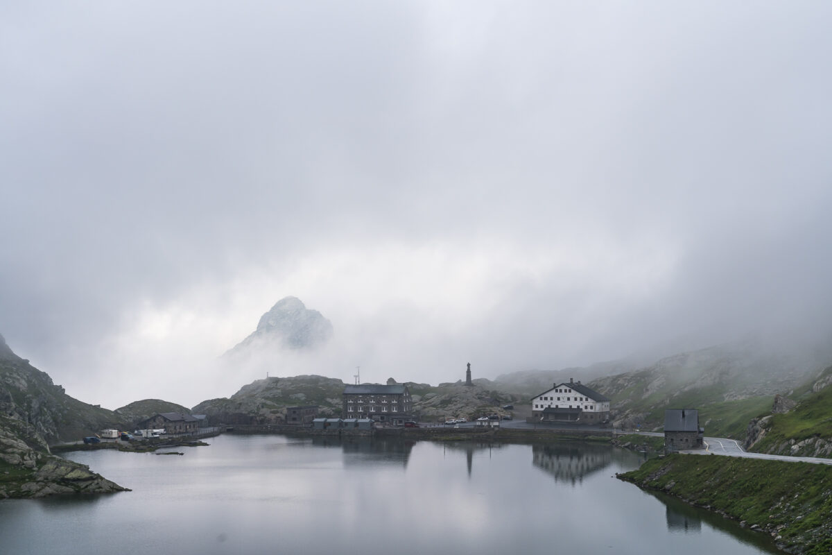
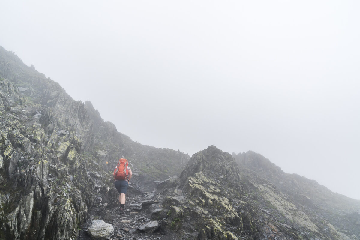
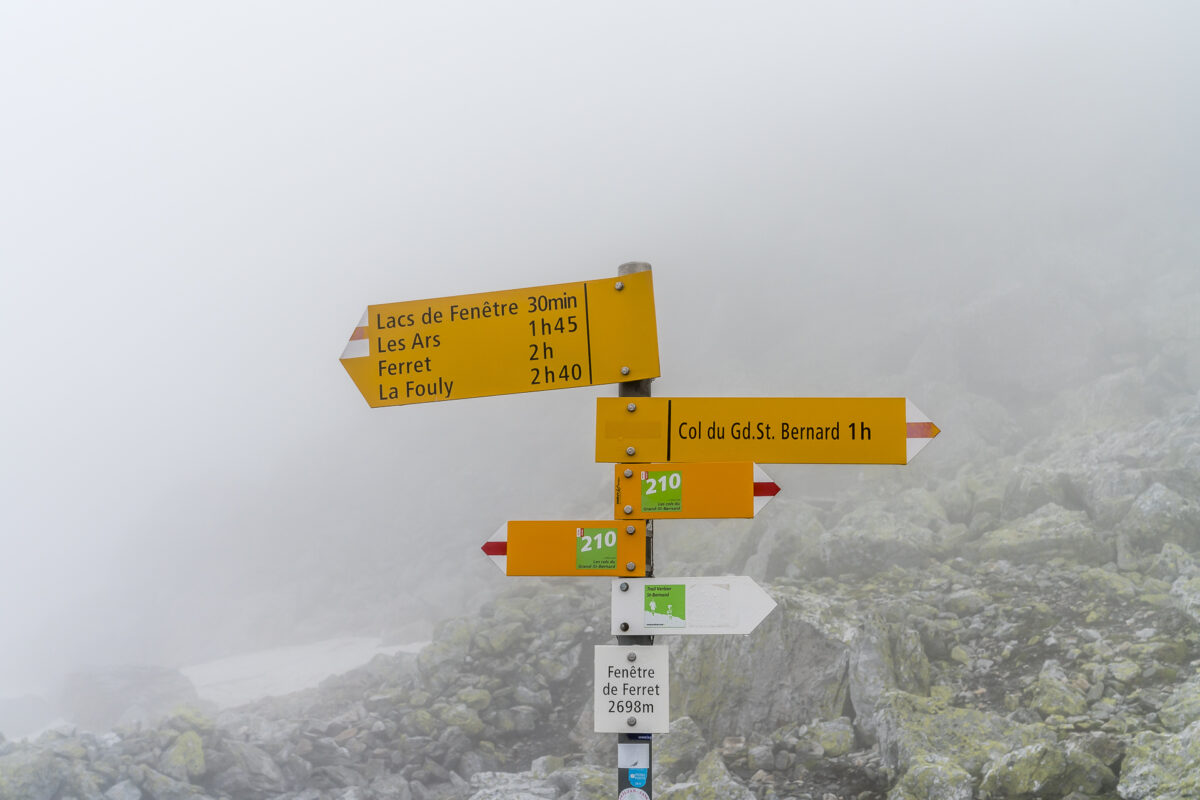
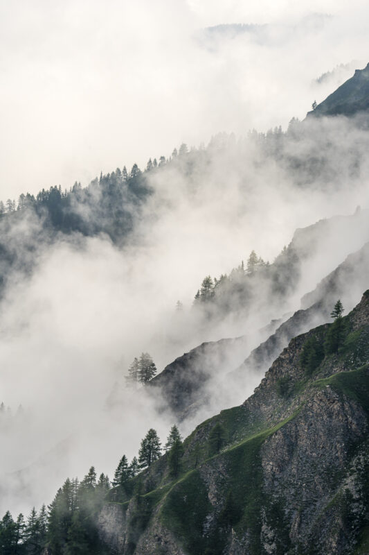
We, on the other hand, have to fight our way through thick clouds of fog, short heavy rain fronts and gusts on the descent and do not give up hope that the wall of clouds might push aside for a short time. Nothing there! But the mystical atmosphere also has its charm and above all: Wow is the green!
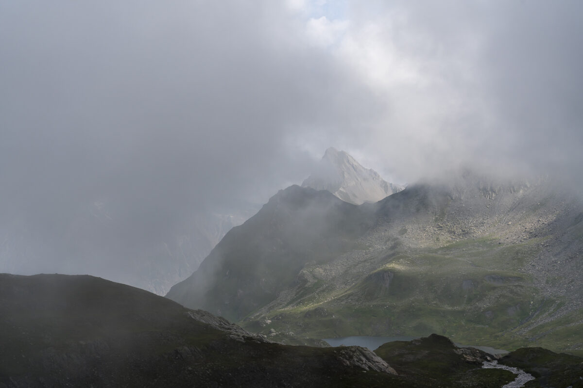
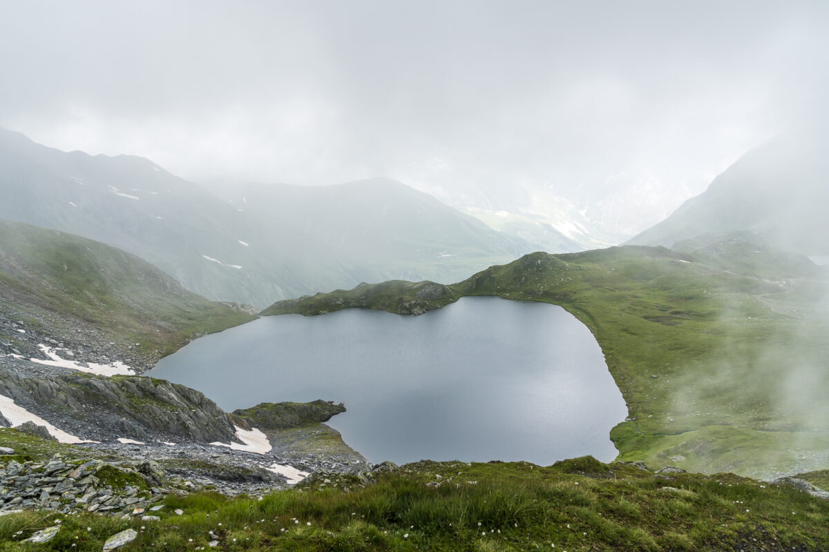
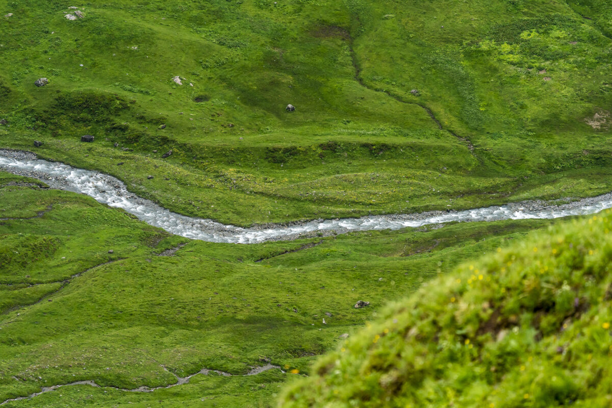
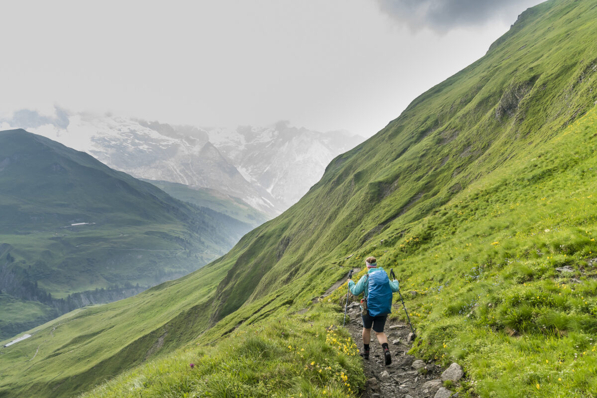
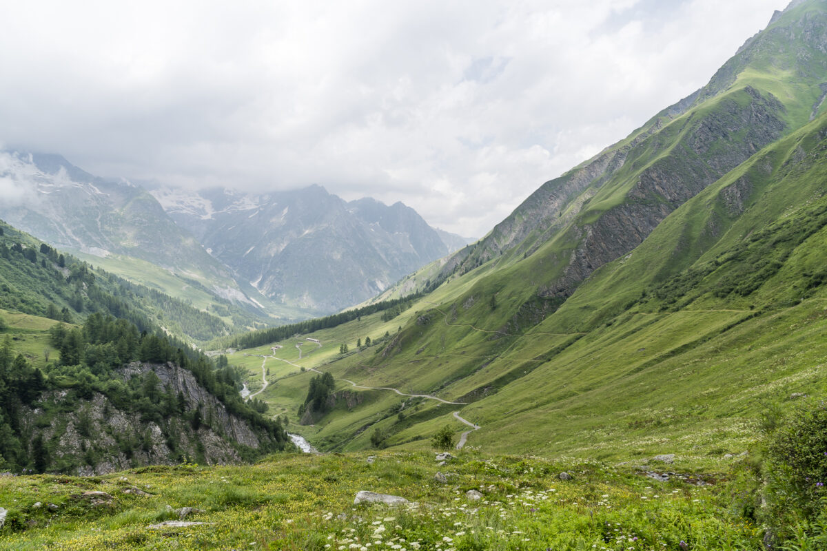
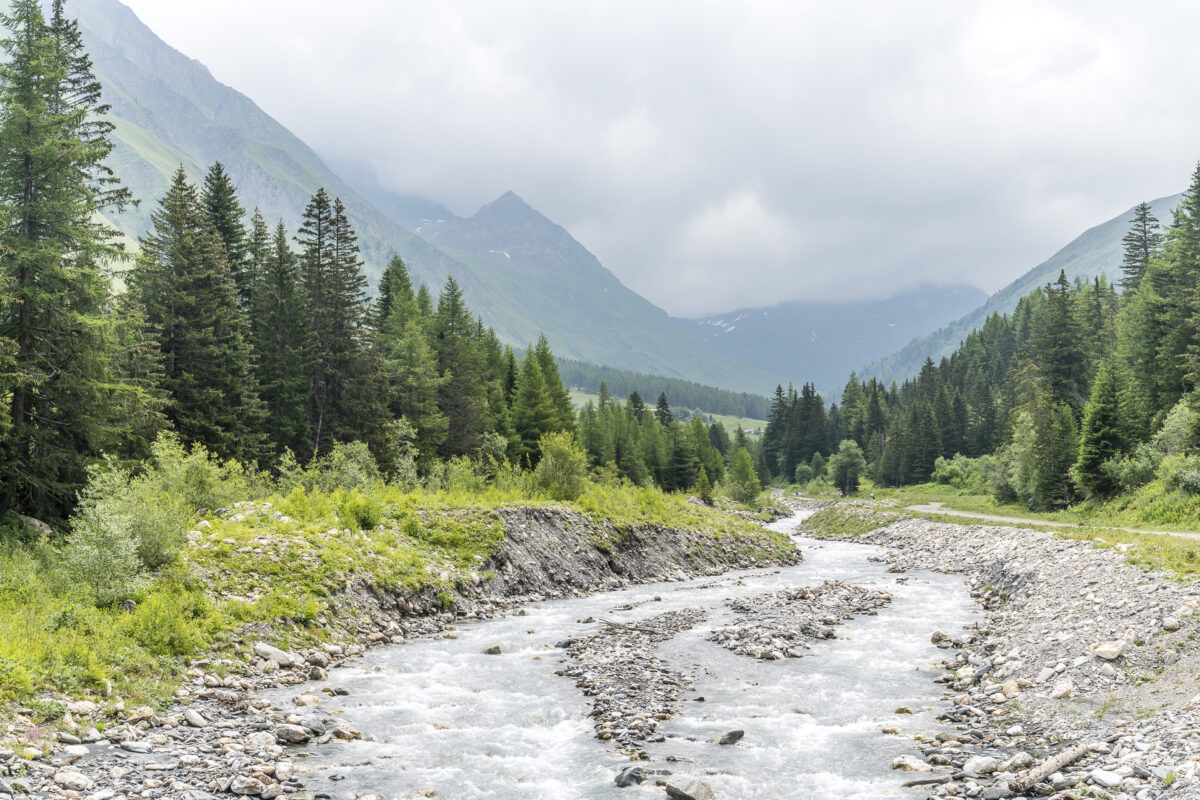
Passing the three mountain lakes, we follow the Alpine Passes trail towards Fouly. This leads us along a narrow, panoramic mountain path along the Dranse de Ferret further down the valley. While the clouds have a firm grip on the end of the valley, the weather down in Val Ferret is much friendlier. At les Ars Dessous we are about to stop at the local alpine inn. However, the dark clouds in the back drive us on without rest and let us head directly for la Fouly. The last village in Val Ferret, which is inhabited all year round, makes a somewhat sleepy impression on this day and the choice of places to stop for refreshments can be counted on one hand. In the Auberge des Glaciers, directly opposite the Office du Tourisme, you will find fine regional dishes as well as really good pizzas on the menu.
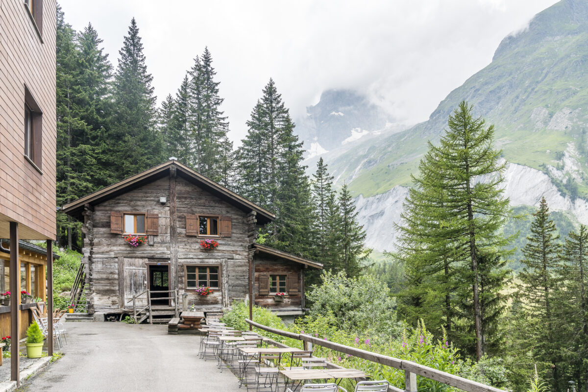
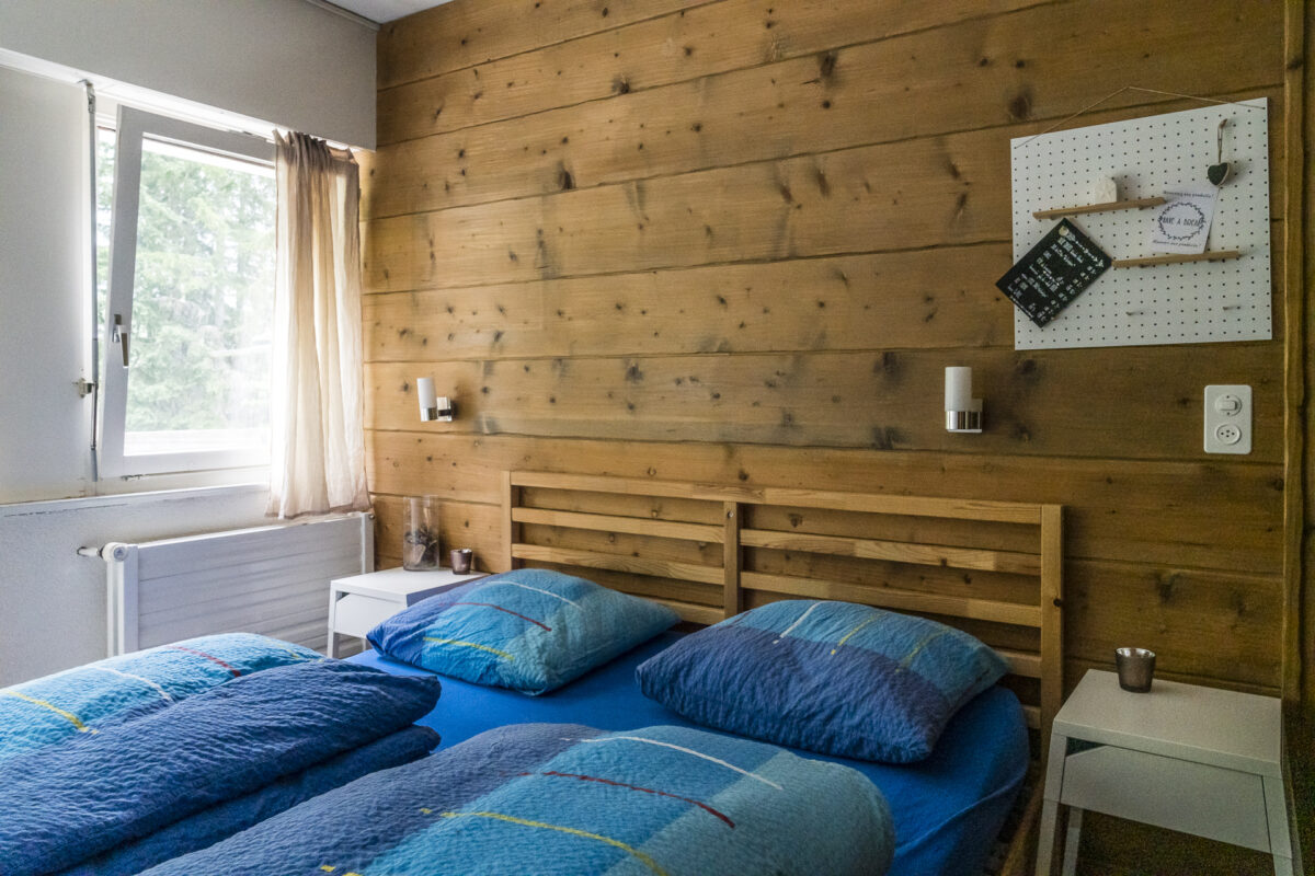
We were also impressed by the friendly welcome in today’s accommodation – the Auberge Maya-Joie. Hikers are greeted here with a refreshing lemonade and a slice of freshly baked cake. The slightly hidden building, a 5-minute walk from the Office du Tourisme, was once used as a school. Today there are 35 beds here, divided into multi-bed rooms as well as double and single rooms with shared shower/bath. The standard is basic, but the rooms are lovingly furnished and very cozy. The speciality of the house is raclette – and the best way to go with it is to try one of the home-brewed beers.
Eckdaten der Wanderung Hospice du Gd.-St.-Bernard – Fenêtre de Ferret – La Fouly
| Starting point | Bushaltestelle Le Grand-St-Bernard, Hospice (2,469 m a.s.l.) |
| Reachability | Accessible by public transport |
| Length | 13.4 kilometres |
| Elevation gain | ↗ 439 m 1,305 m ↘ |
| Duration | 4:15 p.m. |
| Destination | Bus stop La Fouly VS (1,592 m above sea level) |
| Catering | Alpwirtschaft Les Ars Dessous |
Tour du Saint-Bernard Tag 3: durch die Combe de l’Â zur Cabane la Tsissette
On the third day we are up early again. “You have to take the first chairlift”, then you are guaranteed to see animals, we were promised the evening before. We don’t have to be told twice, and of course we are 10 minutes early at the valley station of the L’Arpalle chairlift, with which we overcome the first 400 meters of today’s stages without sweating. Of course, you can also do the route on foot (or you have to do it on foot if you do this stage outside the hours of the chairlift’s operating hours).
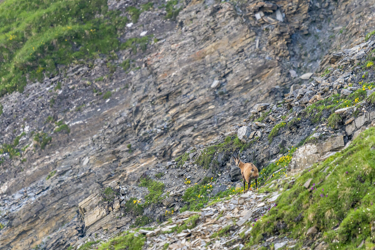
From the mountain station of the chairlift, we first follow a wide gravel path across alpine pastures up to 2,100 metres above sea level. Then it’s on a narrower mountain path along the ridge further uphill. We have a great view over the Val Ferret, which is still firmly in the grip of the fog this morning. But the scree gorges on the flanks of the Mont de la Fouly are fortunately cloud-free. Here we are supposed to look out for ibex and chamois and lo and behold: In the distance we actually see a group of grazing chamois.
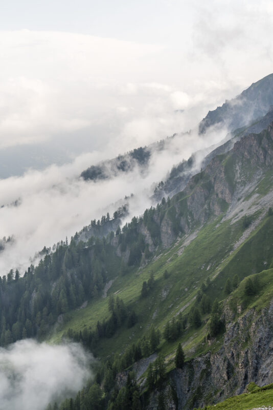
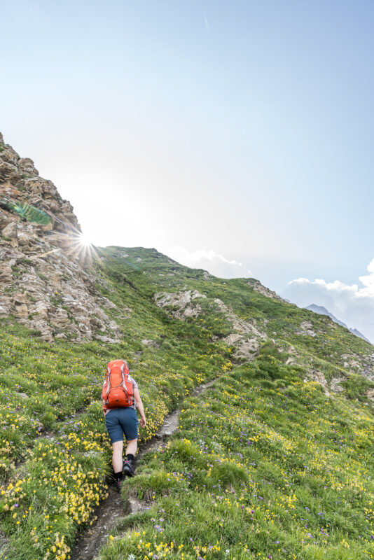
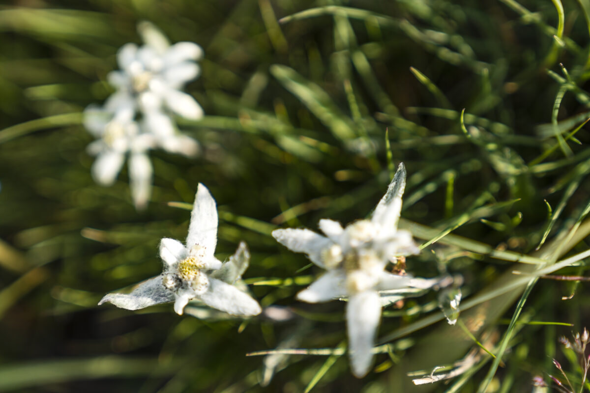
The following section, with the exception of the “Le Basset” pass, has the most delicate passages of our variation of the Tour du Saint-Bernard in store in terms of surefootedness and a head for heights. First we have to overcome a narrow, sloping traverse and then we work our way up the mountain via passages secured with fixed ropes. I had prepared myself for the fact that it could be a bit challenging here and there and then I am relatively surprised that it is limited to two or three shorter passages and the rest is pleasant to walk. Be sure to take the time on this section to look out for edelweiss (there are a lot of them here) and to take a short break from time to time and enjoy the magnificent panorama.

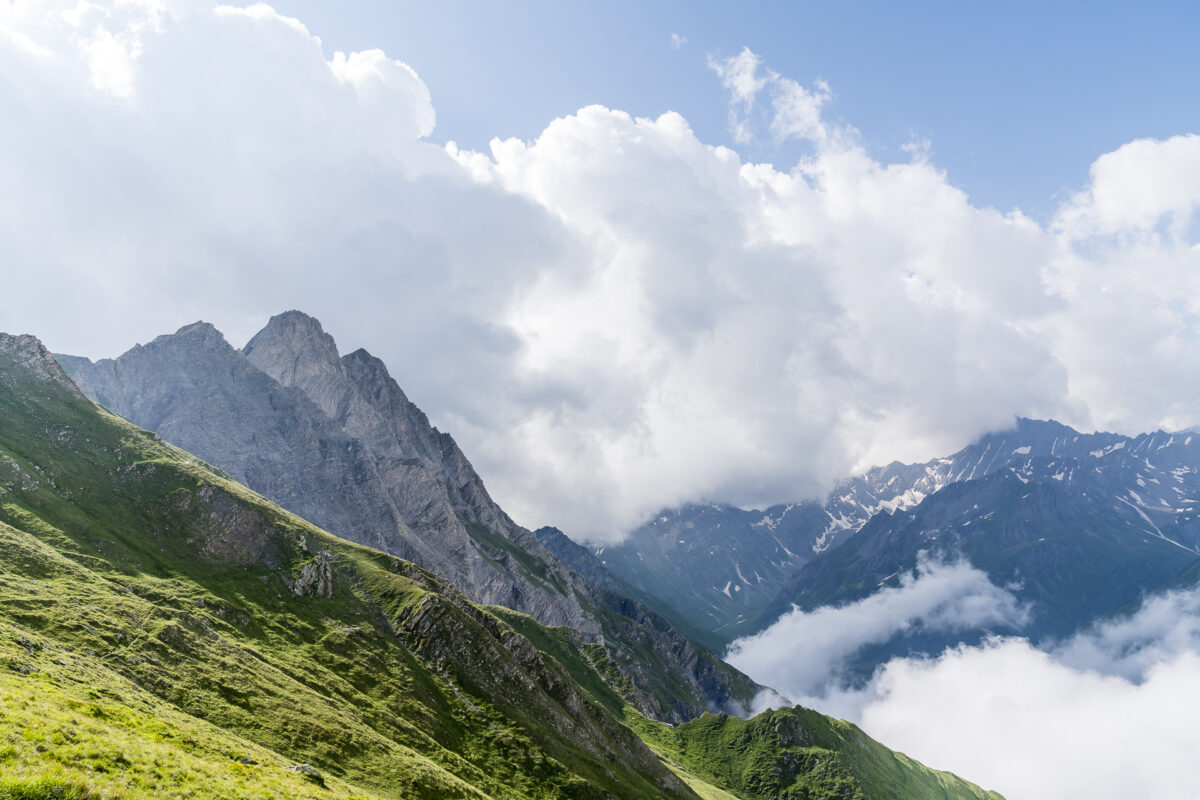
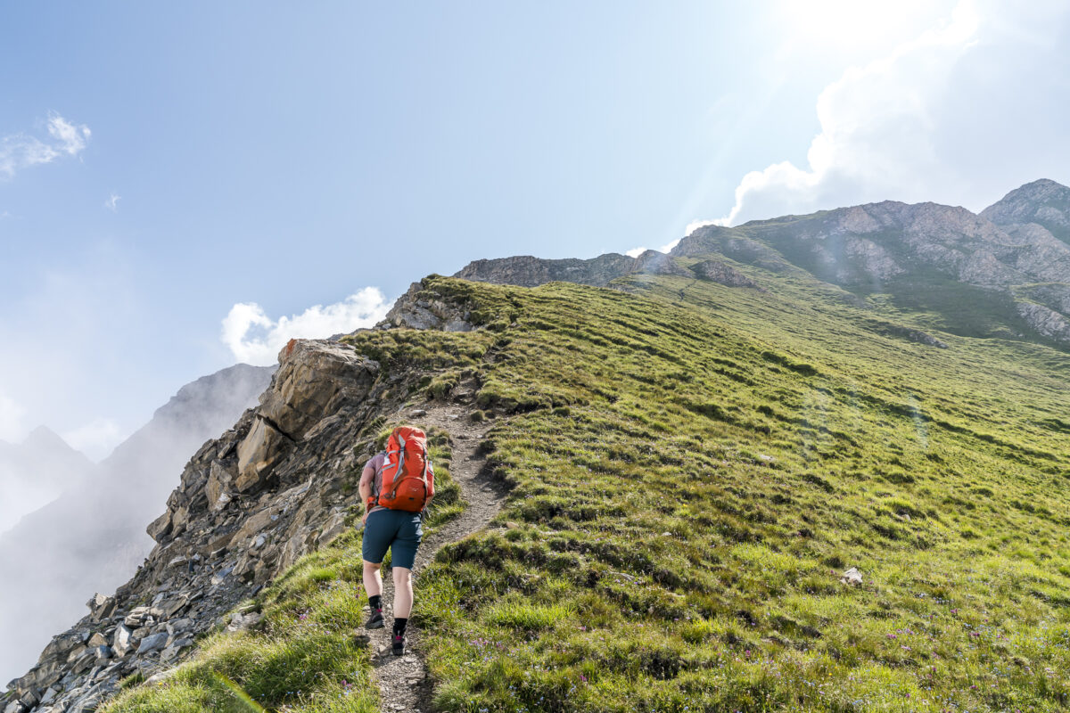
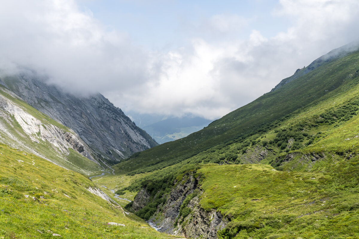
At the top of the Basset, we are rewarded with a phenomenal panoramic view from the fog line at Mont de la Fouly to the Grand Combin. The view down into the wild landscape of the Combe de l’Â is also impressive. Wedged between Val Ferret and Val d’Entremont, the high valley is protected and home to a particularly rich flora and fauna. And one of the inhabitants of the Combe de l’Â shows us on the descent towards La Tsissette: an ibex!
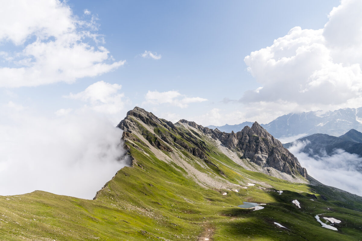
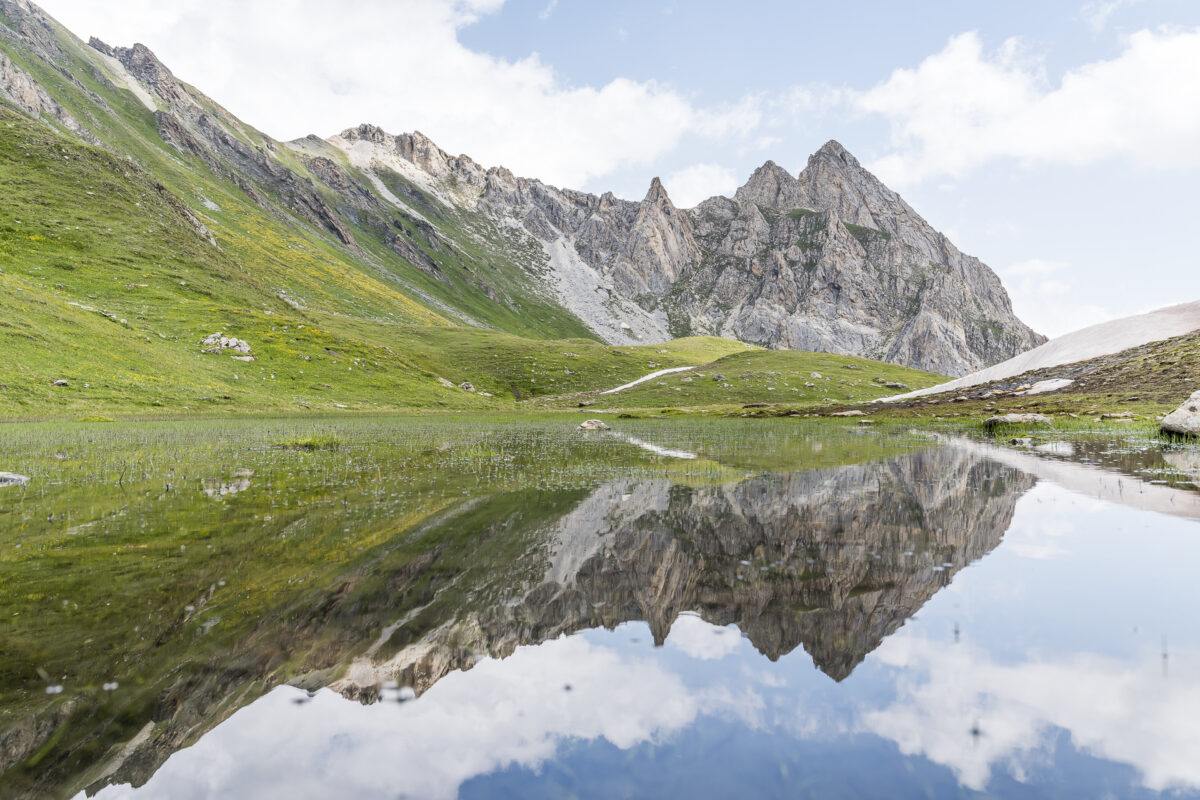

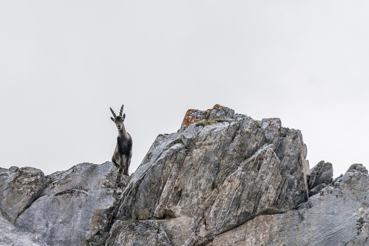
At this point, we don’t know that this won’t be the pinnacle of animal experiences. The following four kilometres through the Combe de l’Â are varied and pleasant to walk. Shortly after noon we reach the completely renovated Cabane de La Tsissette. The hut, which also includes an alpine farm, is a popular destination from Liddes for an easier day hike including a stop at the hut and accordingly the seats are well occupied.
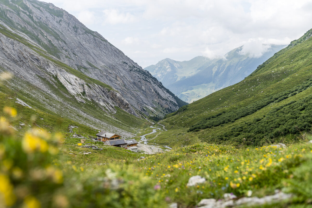
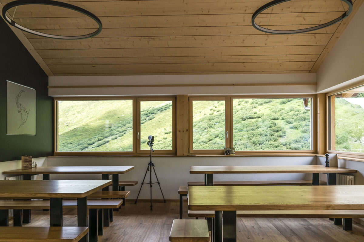
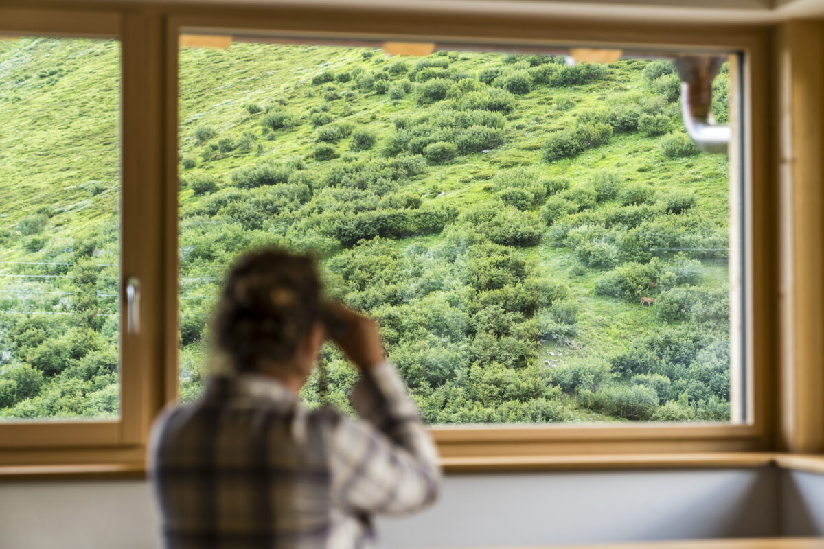
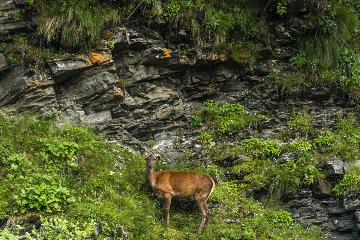
In the late afternoon, however, calm quickly returns. The fact that you can spend the night comfortably in the Cabane de la Tsissette after the renovation (it even has two top showers) has apparently not yet gotten around. And what hasn’t gotten around yet is that from the panoramic windows of the restaurant you can watch hinds (including young animals) in summer and in autumn (end of September / beginning of October) the rutting spectacle of the deer. Definitely a bucket list spot!
Key data of the hike La Fouly – Le Basset – La Tsissette
| Starting point | La Fouly, mountain station of the L’Arpalle chairlift (2,000 m above sea level) |
| Reachability | only starting point can be reached by public transport |
| Length | 9.7 kilometres |
| Elevation gain | ↗ 872 m 848 m ↘ |
| Duration | 4:00 p.m. |
| Destination | La Tsissette (2,009 m ü. m.) |
| Catering | La Tsissette |
Tour du Saint-Bernard Tag 4: return to Val d’Entremont
Another positive aspect of spending the night in the Cabane de la Tsissette is that you have the Combe de l’Â “to yourself” the next morning. I was so looking forward to the trip to this magical valley and my expectations were definitely exceeded. What a delightfully wild spot! On this last day of the tour, our hiking program actually only includes the almost seven kilometers out of the valley to Liddes.
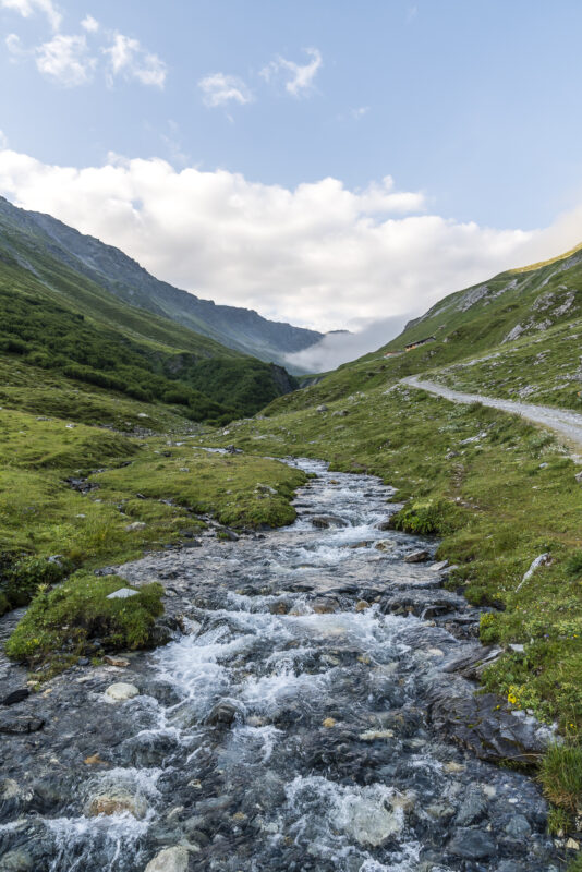
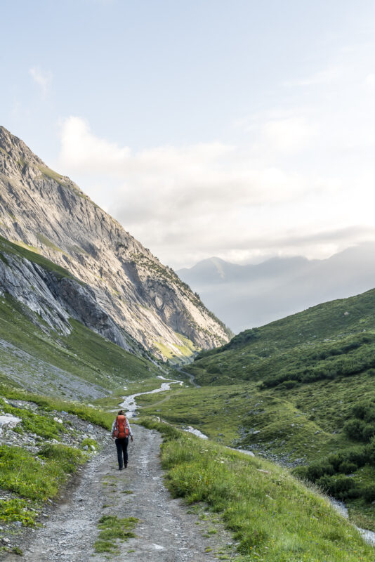
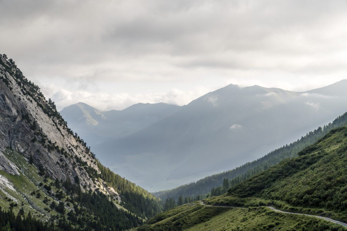
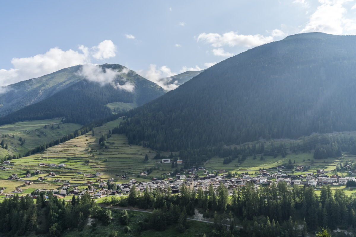
Spontaneously, however, we decide to follow the cheerfully bubbling Dranse d’Entremont to Orsières. And at this point I regret a bit that our calendar does not allow a spontaneous extension of the tour towards the Cabane du Col de Mille and from there to the 3,000-metre-high Mont Rognax. So the story with the Pays du Saint Bernard and me is not over after this episode.

Key data of the hike La Tsissette – Liddes – Orsières
| Starting point | La Tsissette (2,009 m ü. m.) |
| Reachability | Starting point can only be reached on foot |
| Length | 13.9 kilometres |
| Elevation gain | ↗ 151 m 1,263 m ↘ |
| Duration | 3:45 p.m. |
| Destination | Orsières railway station (900 m above sea level) |
| Catering | various catering options around the Orsières train station |
Practical tips for your hike on the Tour du Saint-Bernard
- Due to the high altitudes of the tour (in our variation up to 2,800 m above sea level), parts of the route can be snow-covered until July. The ideal period is from mid-July to the end of September.
- The Tour du Saint-Bernard is mostly on mountain trails (difficulty T2 / T3). In terms of fitness, it is a moderately difficult route.
- Due to the dense network of hiking trails, the tour can be easily adapted and adapted to personal needs, as described at the beginning.
- The accommodation locations (Auberge de l’Hospice, Auberge Maya-Joie and Cabane La Tsissette) all have online booking tools and can be easily booked.
- The accommodation prices range from 130 to 150 CHF for a double room in the Auberge de l’Hospice and in the Auberge Maya-Joie and 25 CHF per person in the Cabane La Tsissette (sleeping place in a 4-person loft). All accommodations offer half board.
- If a multi-day hike is too strenuous for you, I would recommend a detour (incl. overnight stay) to the Combe de l’Â.
- Don’t forget to pack a silk sleeping bag (for the night in the Cabane la Tsissette) and binoculars


Leave a Reply