


Zermatt – winter hiking with a view
Yesterday we once again made the experience that a little preparation would not hurt when hiking. Since bad weather was reported on the northern side of the Alps, we made our way to Zermatt early in the morning, where sunshine was forecast at least for the first half of the day. Word has also gotten around that there is a great winter hiking trail network in Zermatt, which we wanted to test. Actually, a route suggestion from MySwitzerland from Sunnegga to Zermatt would have been considered. We wanted to tackle the route the other way from Zermatt up to Sunnegga, but somehow everything went differently than expected.
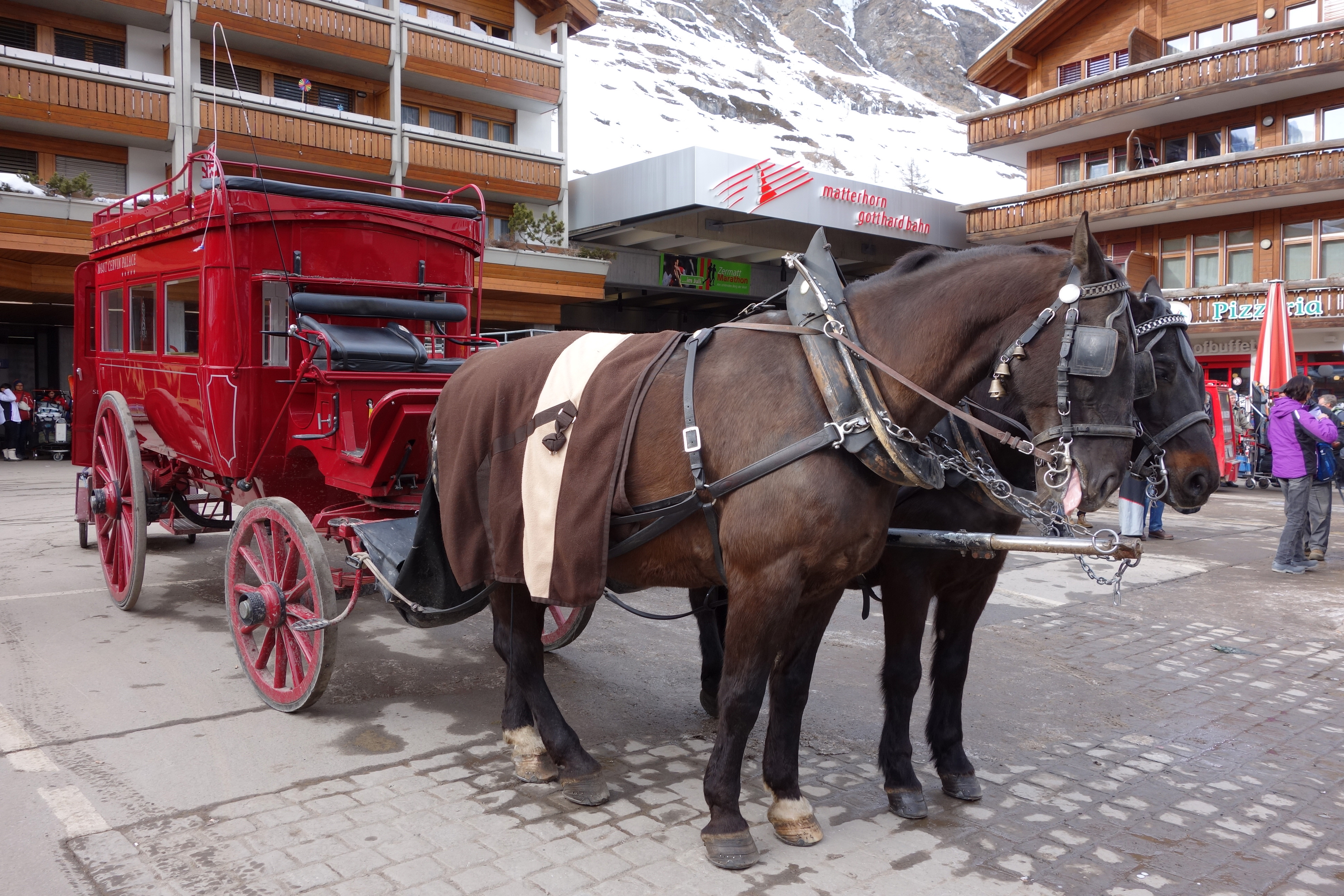
When we arrived in Zermatt, we unfortunately had to leave the horse-drawn carriage on the left and went in search of hiking trail signposts. But I’m always amazed at the wild chaos of people, electric cars and carriages at Zermatt station. It was probably due to the lack of morning coffee or the poor map interpretation, in any case we missed the right entry to the winter hiking trail and suddenly felt “Lost in Zermatt”. After a few loops of uncertainty, we finally found a signal in Tiefenmatten and were able to orientate ourselves a bit. However, the bows were definitely worth it from a photo point of view…


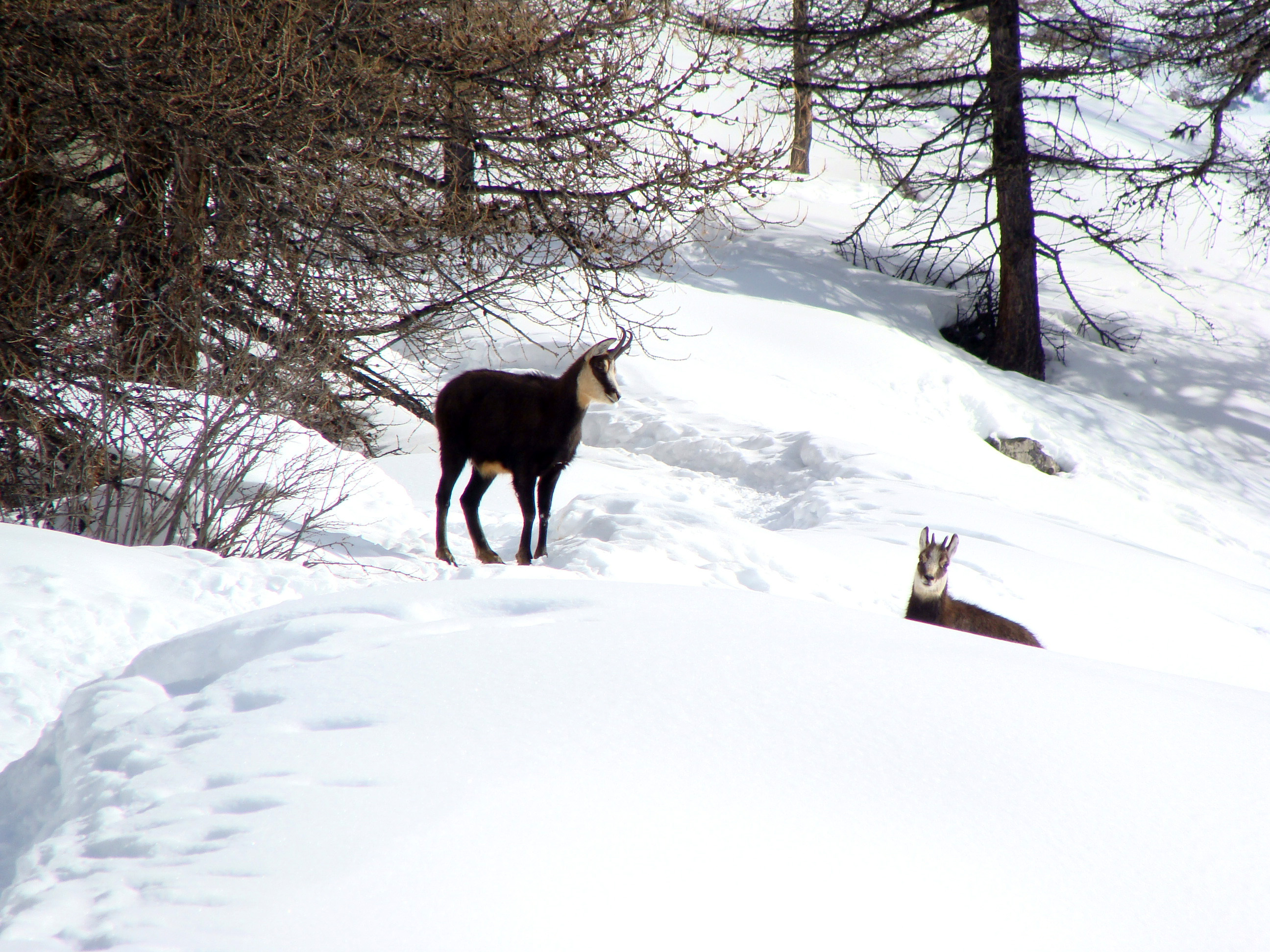
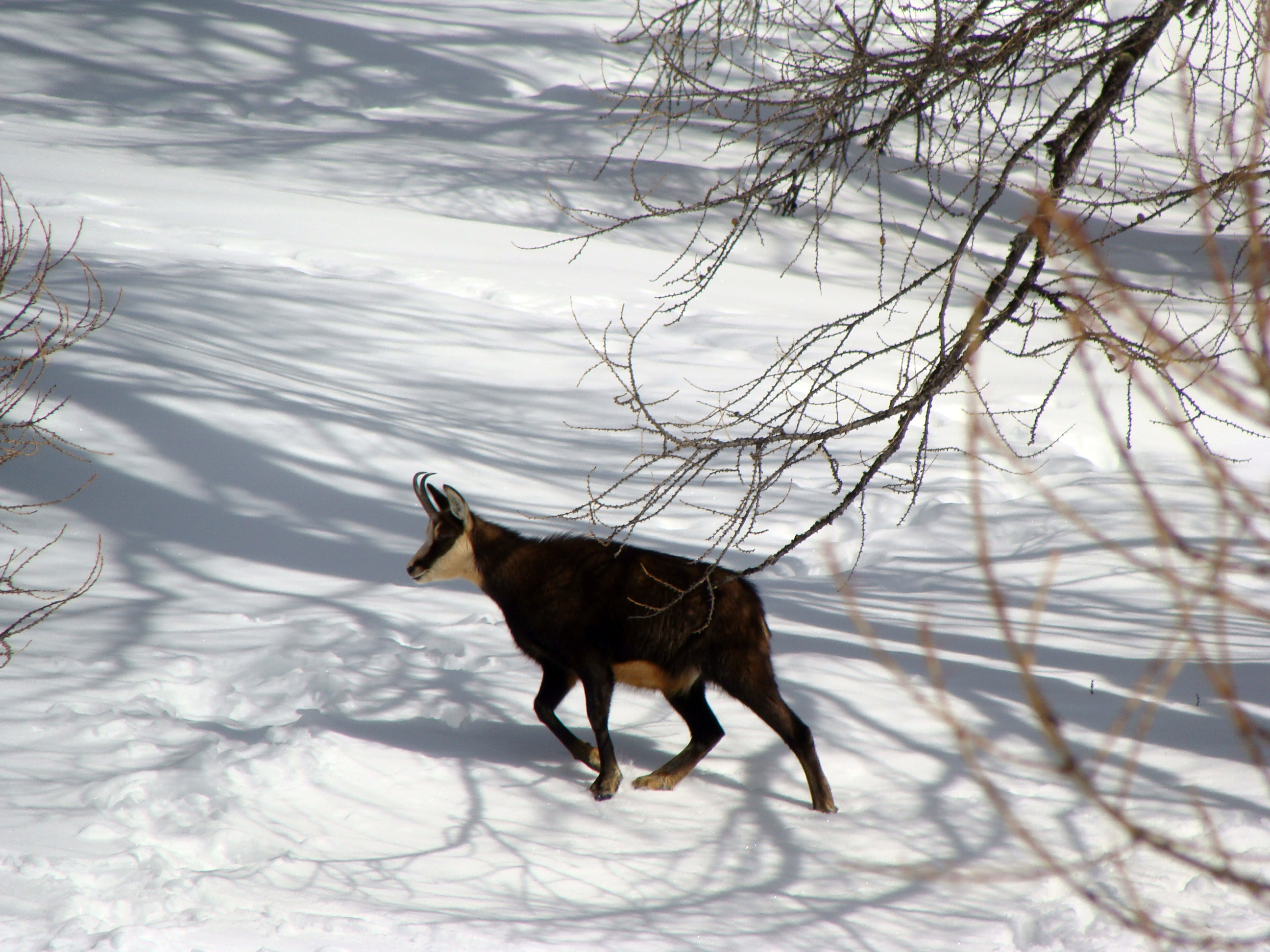
The way continued along the contour lines to Furggegga. The path is rather narrow, well groomed and leads through the sparse forest. Afterwards we made the second “wrong decision” and chose the steep climb in the direction of Sunnegga. The only other creatures up there were very “wondery” chamois. Since we didn’t follow the official winter hiking trail anymore (missed it), we had to master the last stretch to the Leisee along the ski slopes (fun factor low). At the Leisee we took the Leisee shuttle for the last meters of altitude up to the Sunnegga (we didn’t have to buy a ticket, but I don’t know if that’s actually the case, or if we just missed the ticket machine).

In the restaurant Sunnegga we finally had the well-deserved refreshment in the form of coffee, soup and French fries. The restaurant has a great terrace with a view of the Matterhorn. The food, on the other hand, is not a particular highlight. Since we wanted to know what the real hiking trail would be like, we decided not to take the funicular down to Zermatt and decided to tackle the way back on foot. Regarding the funicular, it is still a mystery to me where it would have gone (underground?). On a next trip to Zermatt I will hopefully clarify this point :-).

On the way back we crossed the very pretty hamlet of Eggen with the cute Valais houses and passed an absolutely phenomenal looking restaurant (Chez Vrony). Since we had unfortunately already eaten, this restaurant will also be added to the to-test list for the next Zermatt visit. Also on the way back we did not stay true to the planned route and more or less unintentionally made the turn over Tiefenmatten. After 5 hours of winter hiking, trudging 13 kilometers through the snow and 1,400 meters of altitude difference (700m up and 700m down), we were back in Zermatt.
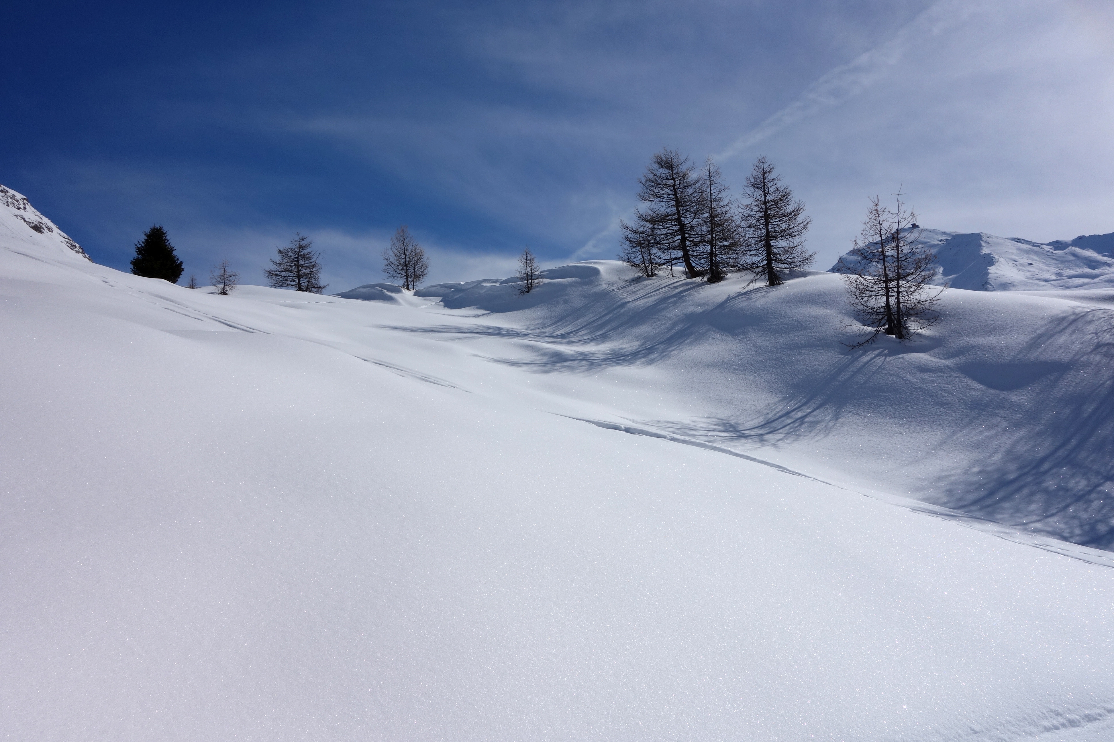

In conclusion, it can be said that the winter hiking trails in Zermatt are really diverse. We also met practically no one on the way. This means that you can enjoy the wintry nature and the view of the Matterhorn (which is practically always in view) undisturbed. However, if you want to do a route exactly according to plan, you should prepare yourself and, above all, know where the entrance to the route is and orient yourself on the route by the pink marker sticks. Another helpful tip: On the hiking boards, a snowman is marked in certain directions (those with the official winter hiking trails). Unfortunately, we only noticed this towards the end….
Leave a Reply