
5 Excursion Tips and Hikes Around Frienisberg near Bern
Advertisement: Post in collaboration with PostAuto AG
Most residents of Bern know where Frienisberg is located. However, only a few could accurately pinpoint this recreational area, located just outside the city gates, on a map on their first try. The region around the Frienisberg Plateau, between Wohlensee and the small town of Aarberg, has a lot to offer: extensive forest trails, viewpoints with phenomenal panoramic views in all directions, a diverse cultural landscape, and idyllic swimming spots.
Take the Postauto to the Frienisberg recreational area
In collaboration with PostAuto, I present selected excursion destinations in the Bern/Central Switzerland region, located along various PostAuto lines, in this section. After our visit to the Gstaad Saanenland region, where we explored both the area around the mountain village of Abländschen and the family-friendly Turbachtal, followed by a spectacular ridge hike on the Melchsee-Frutt, another highlight was on the agenda: a visit to the hiking paradise between Saxeten and Isenfluh. Our final trip of this year’s summer series now takes us to the Frienisberg recreational area. It is accessible from Bern station by various PostAuto lines. The classic route? A trip from Bern over the Frienisberg Plateau to Aarberg on the Line 100 including a detour to the Chutzenturm.
On a sunny summer day, we took a tour through the Frienisberg region using PostAuto lines 100, 105, and 365, and we have brought back five tips for you from this trip.
1. Easy Short Hike through the Lörmoos
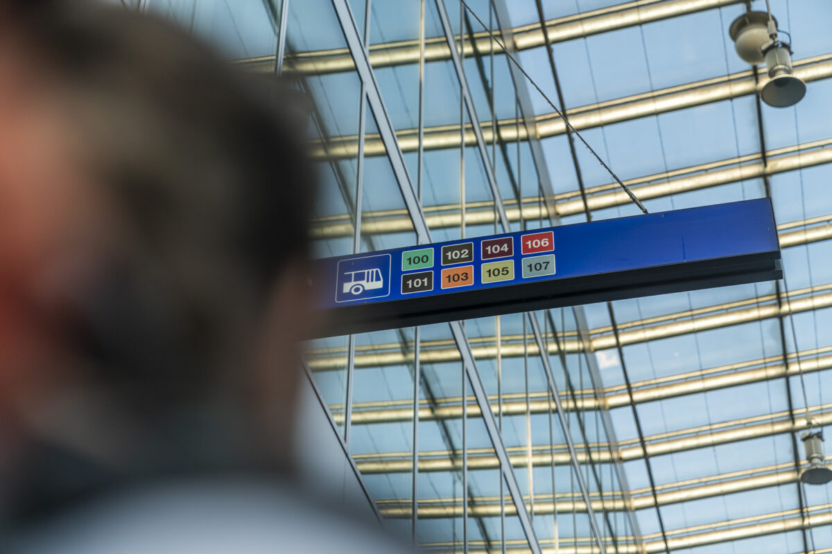
Our trip starts at Bern station. Here we follow the signs to the PostAuto station, which is located almost on the roof of the station at the short-term parking area. Our first destination: Herrenschwanden, Dorf. You can get there with three PostAuto lines – numbers 104, 105, and 106 – and the ride takes less than twenty minutes.
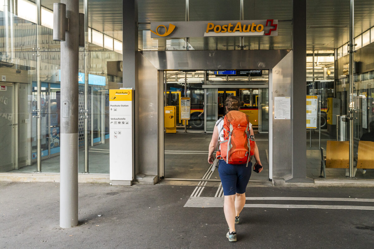
At the Herrenschwanden, Dorf PostAuto stop, we get off, use the underpass to cross Bernstrasse, and then follow Herrenschwandenstrasse westward. After just a few steps, we are in the middle of nature. The city’s hustle and bustle is only present in the form of the “skyline” of Bern on the horizon.
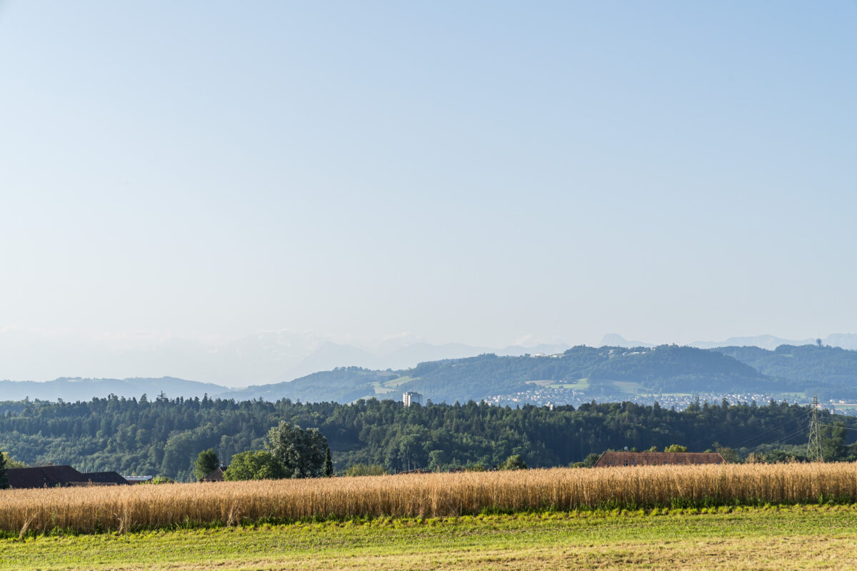
The short hike to the Lörmoos takes less than half an hour. The high moor, of national importance – one of the last five in the Bernese Mittelland – is hidden in the forest and accessible via a charming circular path. Early in the morning, the place exudes a special tranquility, and with a bit of luck, various bird species can be observed.
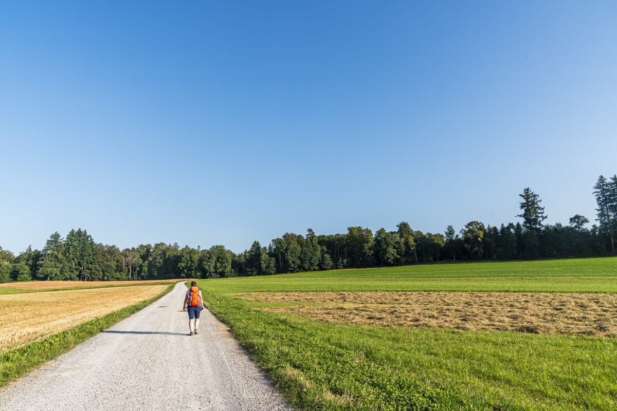
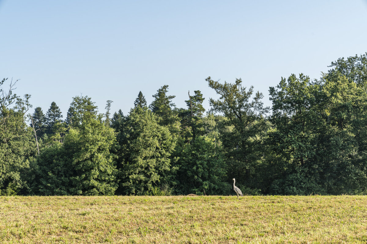
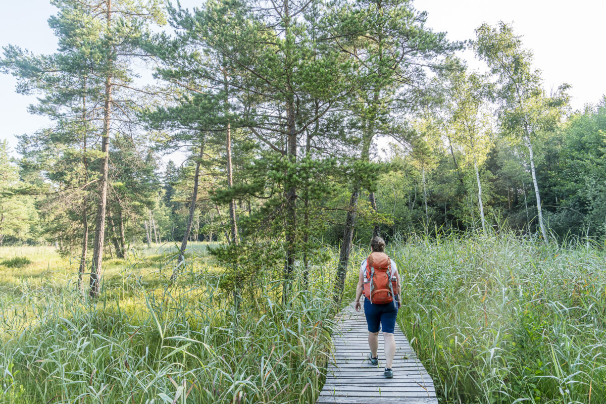
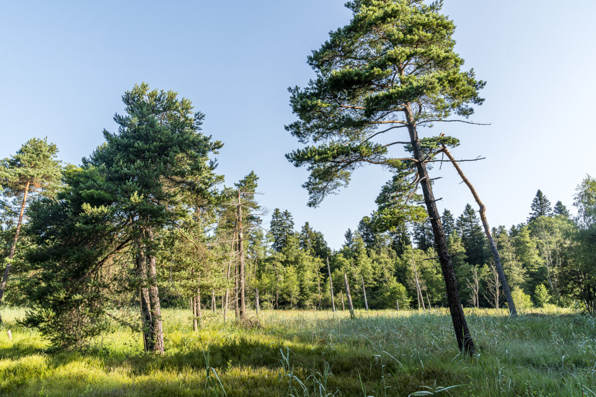
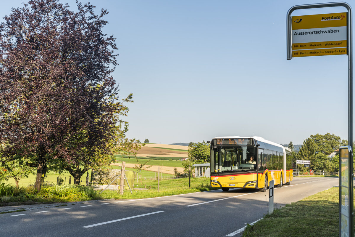
We followed the marked path through the Lörmoos nature reserve, as shown on the map below, and then walked the last section along the cantonal road to the Ausserortschwaben PostAuto stop. Alternatively, you can return the same way and continue the hike to Büsselimoos near Bremgarten bei Bern (about 20 minutes from Bernstrasse to Büsselimoos).
| Starting Point | PostAuto stop Herrenschwanden, Dorf (564 m a.s.l.) |
| Accessibility | accessible by public transport |
| Length | 3.4 kilometers |
| Elevation Gain | ↗ 52 m ↘ 32 m |
| Duration | 55 minutes |
| Destination | PostAuto stop Ausserortsschwaben (586 m a.s.l.) |
| Refreshments | none |
Extra tip: North of Lörmoos, a gallop track runs parallel to the field path. Be careful not to end up on it.
2. Scenic Panorama Hike over Frienisberg
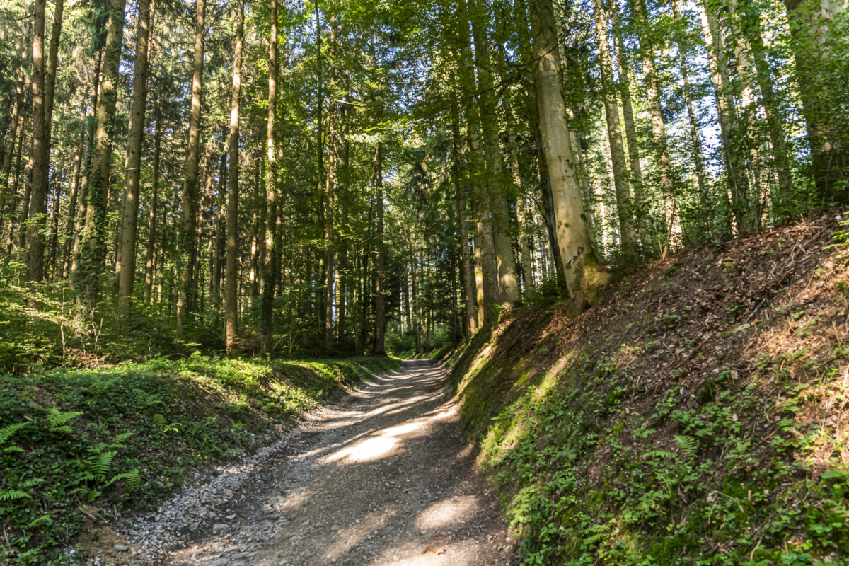
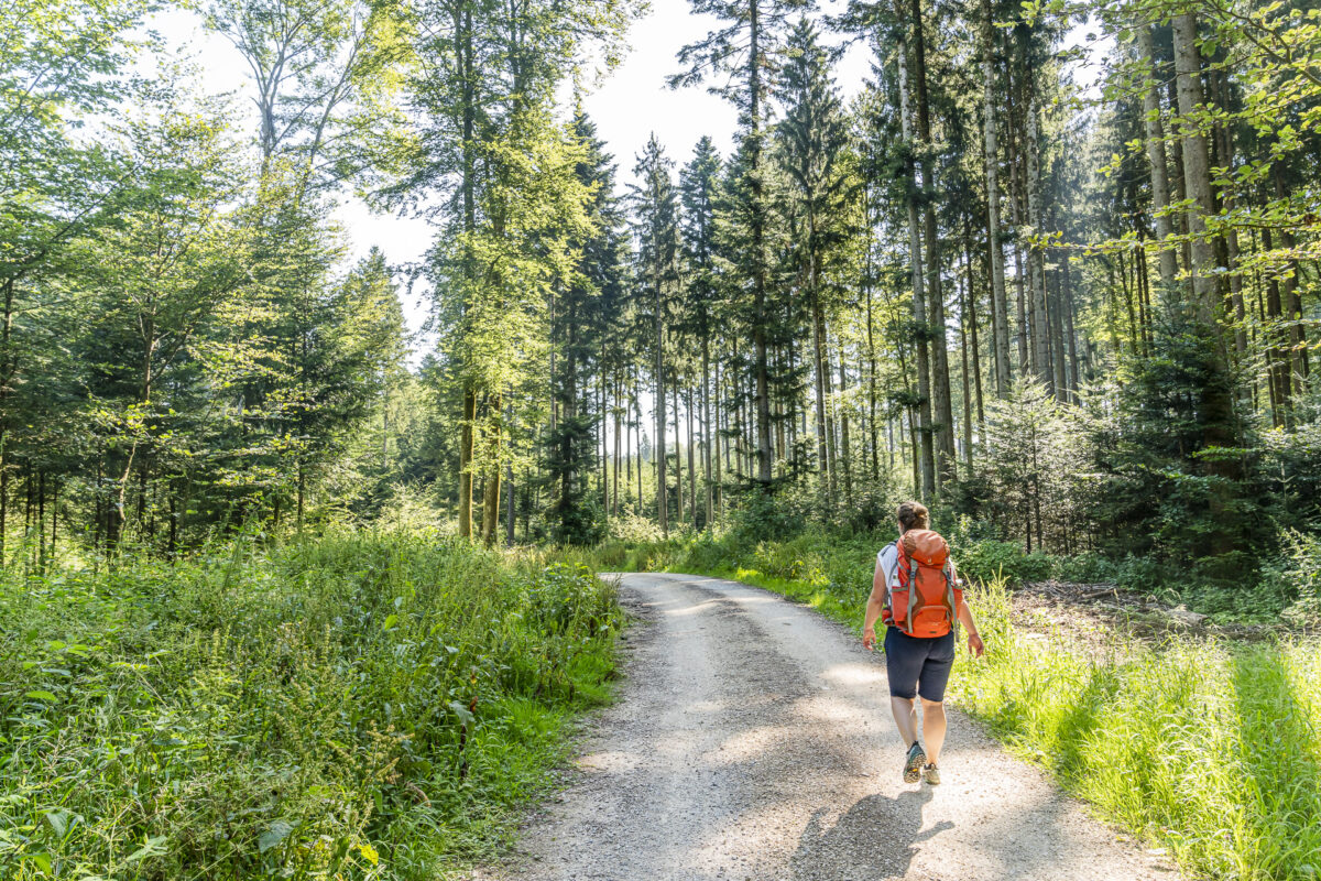
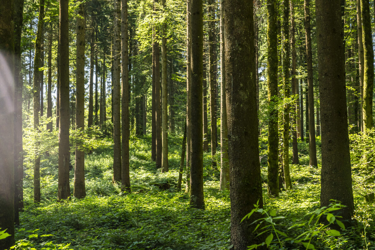
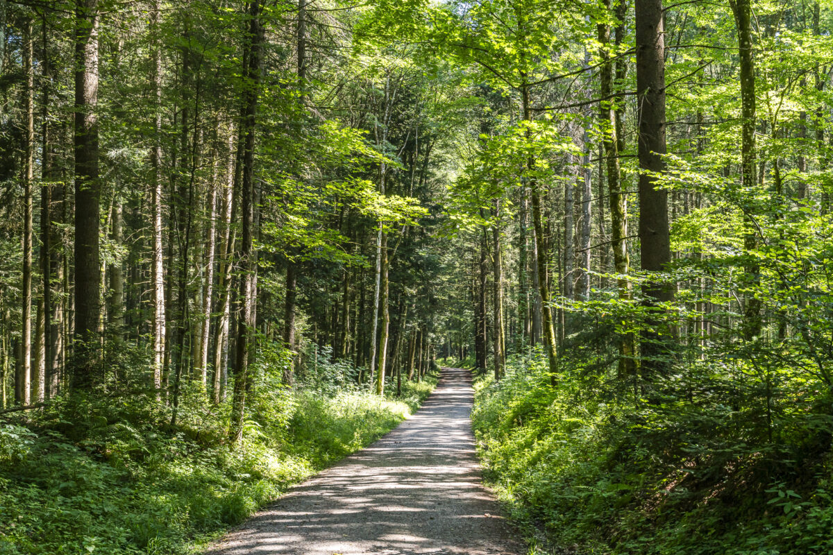
After the short early morning loop through Lörmoos, we continue with PostAuto line 105 towards Meikirch. Here begins a scenic panorama hike that leads through a forested area up to Wahlendorf. From there, the trail continues along the edge of the forest via Innerberg until just before Frieswil, then you enter the expansive forest on Frienisberg and are guided directly to Chutzenturm.
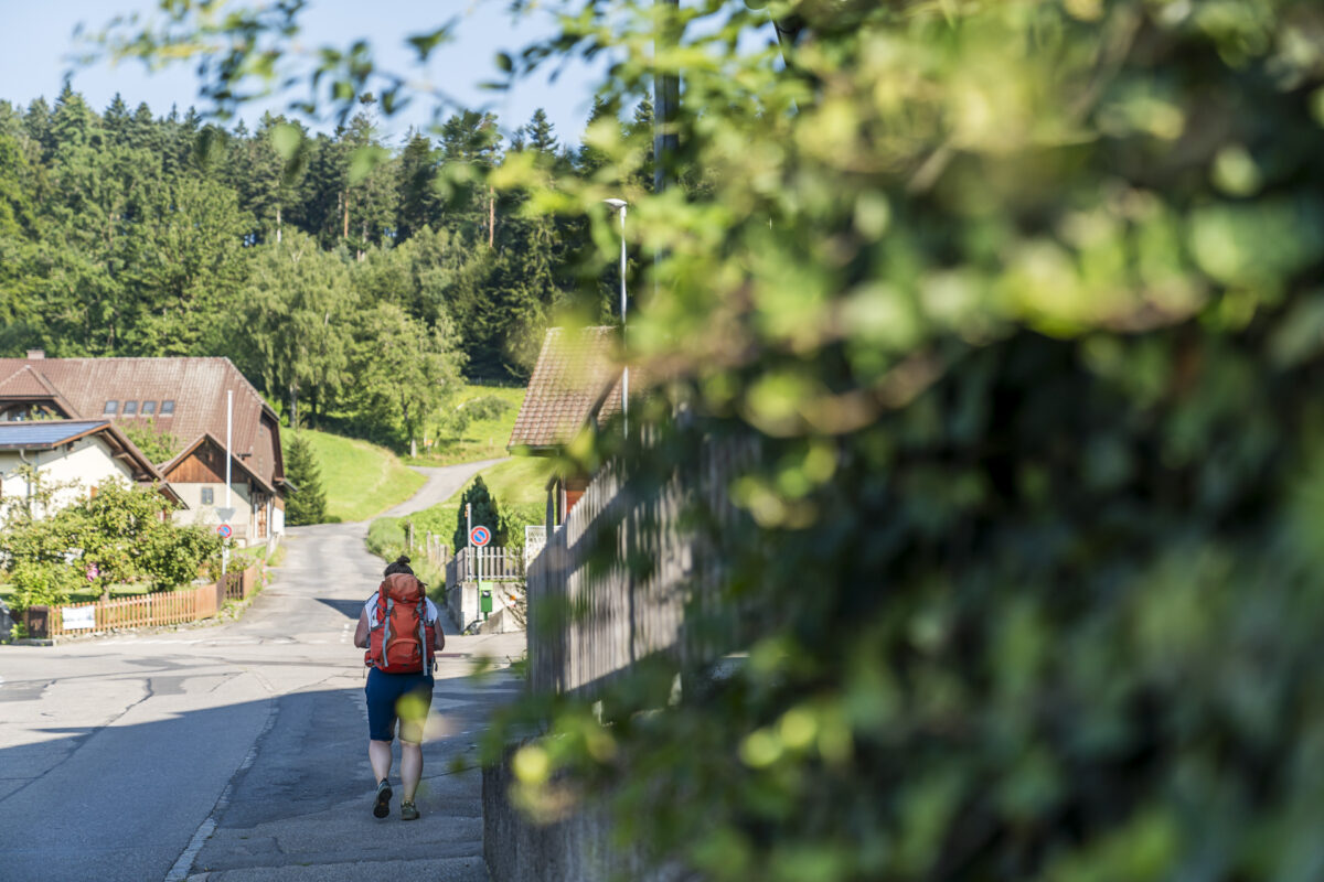
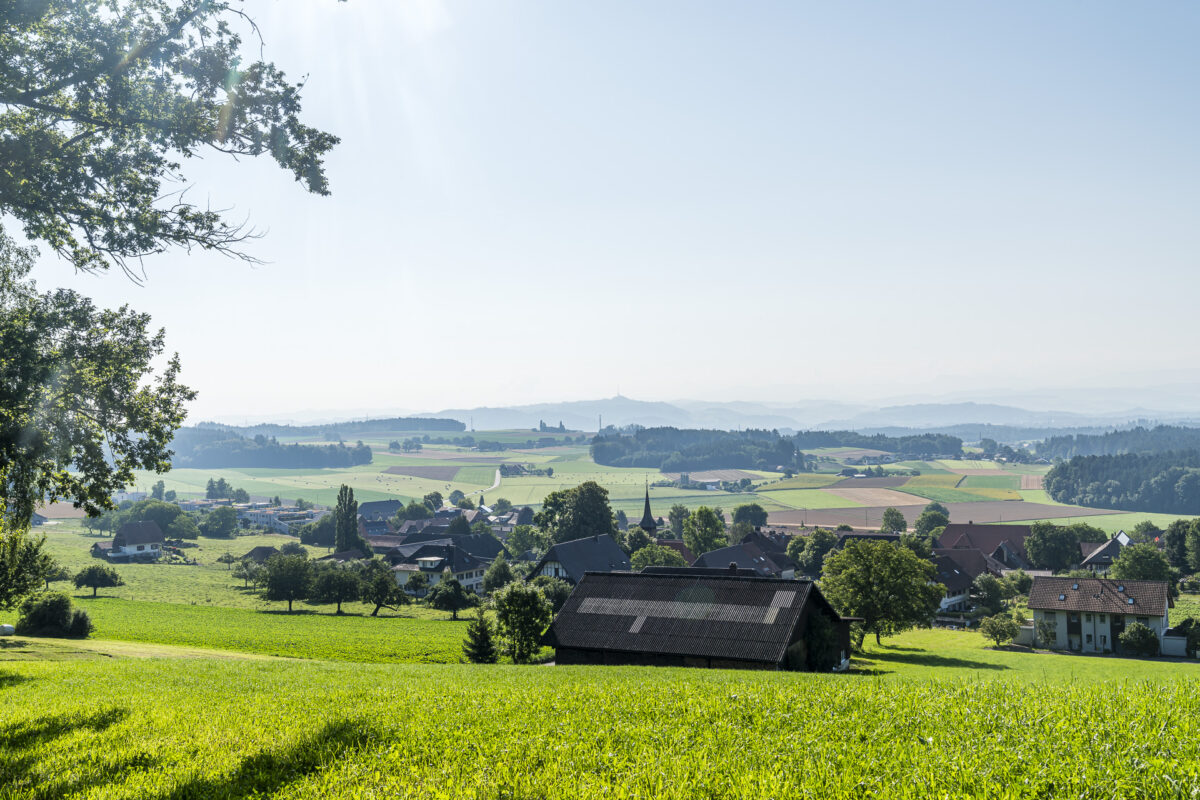
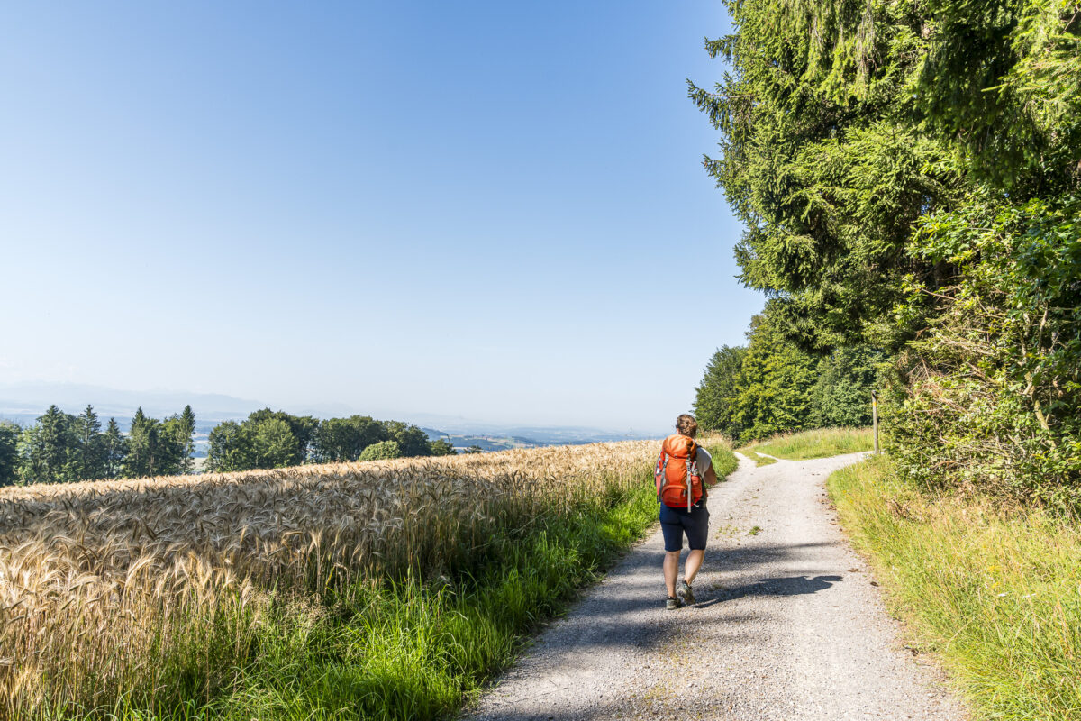
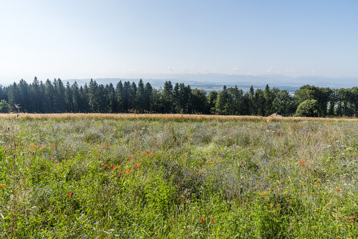
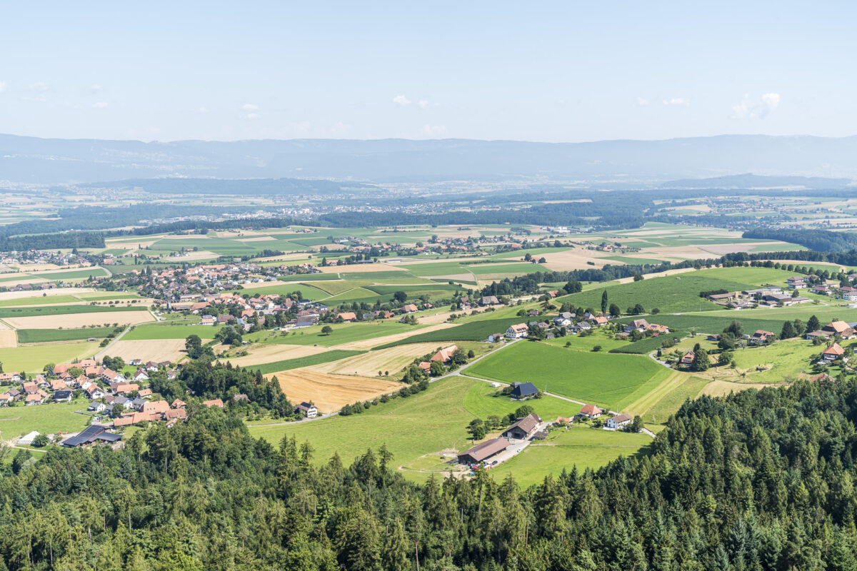
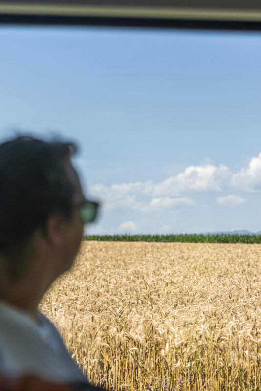
In the first section, you enjoy beautiful views of the southern Frienisberg Plateau from time to time. This area was named Landscape of the Year 2024 by the Swiss Landscape Conservation Foundation due to its well-preserved hamlets and a continuously enhanced cultural landscape. Unfortunately, the view was a bit hazy during our visit. It is likely to be much better on clear autumn days or during a Föhn wind condition.
Details of the Frienisberg Panorama Hike
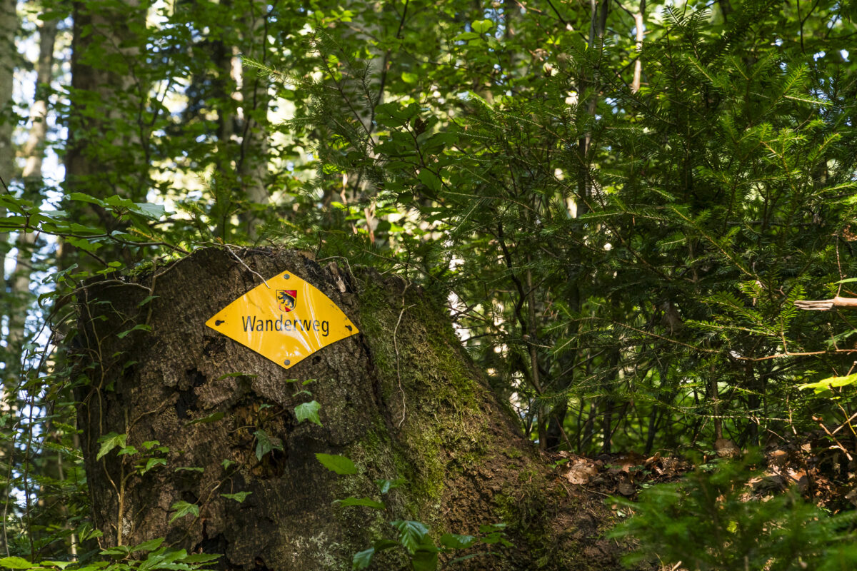
You can see the route of our panorama hike from Meikirch to Frienisberg on the hiking map below. It is a consistently yellow-marked trail (T1/T2). Since the hiking trail network around the Frienisberg Plateau is very dense, the route can easily be adapted to individual needs. We initially had some concerns that it might get too hot. However, the route mainly runs through the forest or along the edge of the forest, providing mostly pleasant shade on hot summer days.
| Starting Point | PostAuto stop Meikirch, Postgässli (640 m a.s.l.) |
| Accessibility | accessible by public transport |
| Length | 12.2 kilometers |
| Elevation Gain | ↗ 357 m ↘ 339 m |
| Duration | 3:15 h |
| Destination | PostAuto stop Frienisberg, Dorf (650 m a.s.l.) |
| Refreshments | Bistro Hirschen in Frienisberg (open only Mon-Fri) |
3. Leisurely Walk to Chutzenturm
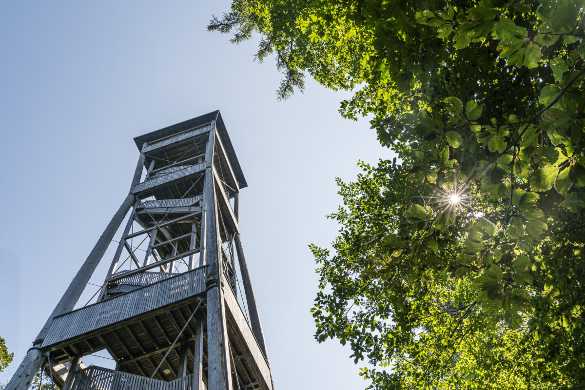
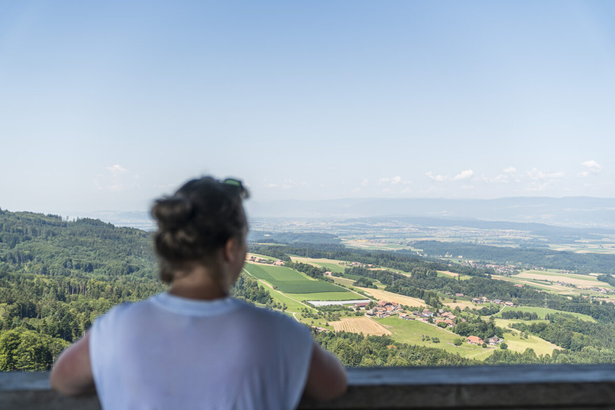
The 45-meter-high Chutzenturm is the landmark of the Frienisberg region and a real attraction. Not only hiking trails but also the “Frienisberg Panoramic Route,” popular with cyclists, pass by here. Climb the 234 steps, and you’ll be rewarded with a phenomenal panoramic view from the Jura mountains to the Bernese Alps – definitely a highlight! Visiting Chutzenturm can be ideally combined with the panorama hike.
Alternatively, you can take the PostAuto line 105 to the “Saurenhorn, Abzw.” stop and from there ascend to Chutzenturm in about 30 minutes (just under two kilometers and 100 meters elevation gain).
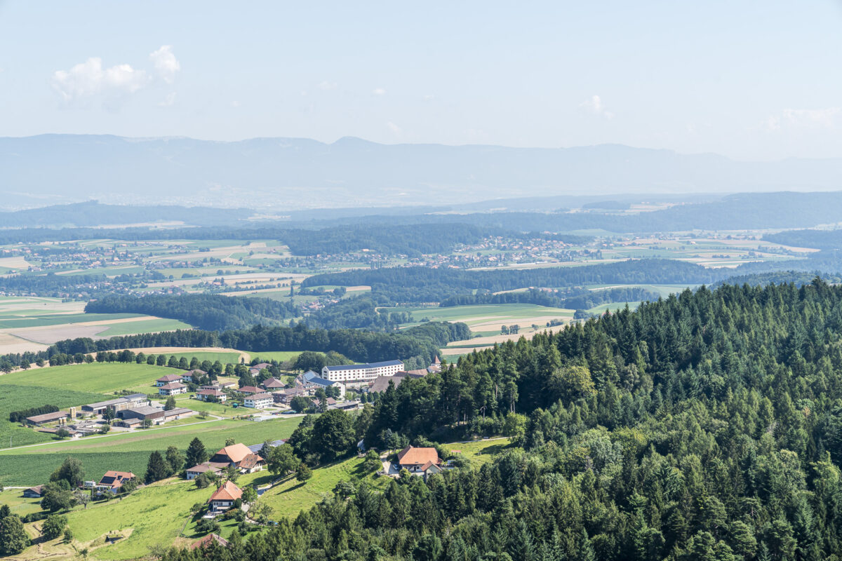
After visiting Chutzenturm, we descended to Frienisberg Dorf. Here, on the northern slope, over 800 years ago, the Cistercian order founded the monastery “Aurora” in the wilderness. The monastery church was demolished in the Middle Ages, and the monastery building was used as the residence of Bernese bailiffs. Today, the former Cistercian abbey is part of a residential and nursing home.
4. Enjoyable Stroll through the Town of Aarberg
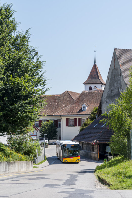
Our tour through the Frienisberg region takes us from Frienisberg Dorf with line 105 to Seedorf. There we transfer to the waiting line 365 towards Aarberg. The entire ride takes 14 minutes. Thanks to this perfectly coordinated schedule, you can easily combine a visit to Chutzenturm with a stroll through the lively historic center of Aarberg.
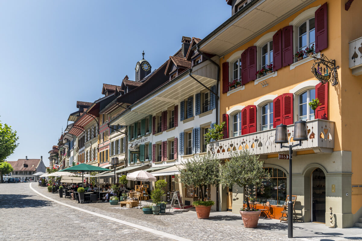
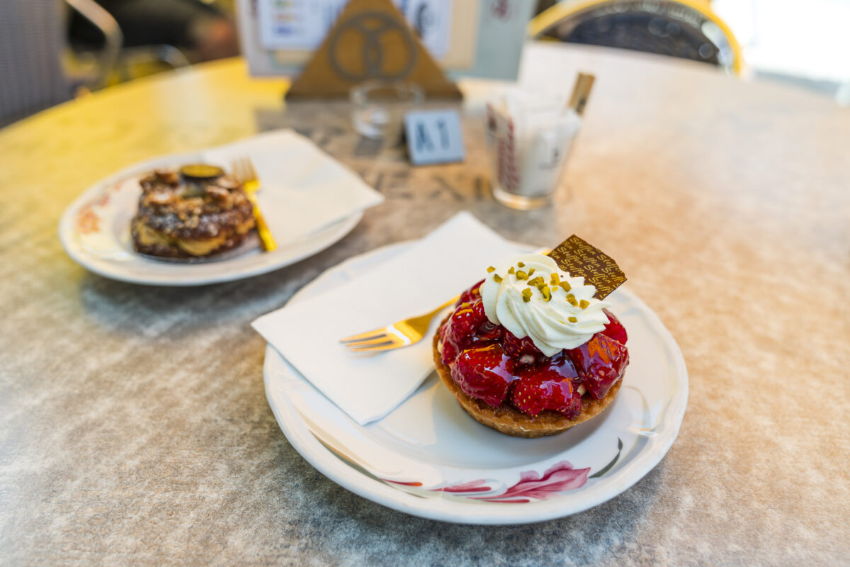
A few years ago, we passed through here on a bike tour through the Seeland. This time, we take a little more time and treat ourselves to a sweet snack at the Steffen Bakery and Confectionery on the town square. The many small shops and restaurants give the “Stedtli” a special charm.
If you want to learn more about the history of Aarberg, you can book a guided tour through Aarberg Tourism. More information and tips can be found here: Aarberg Tourism
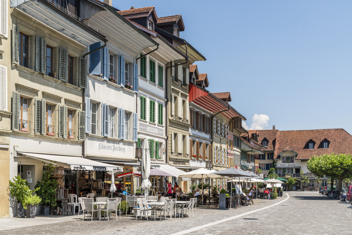
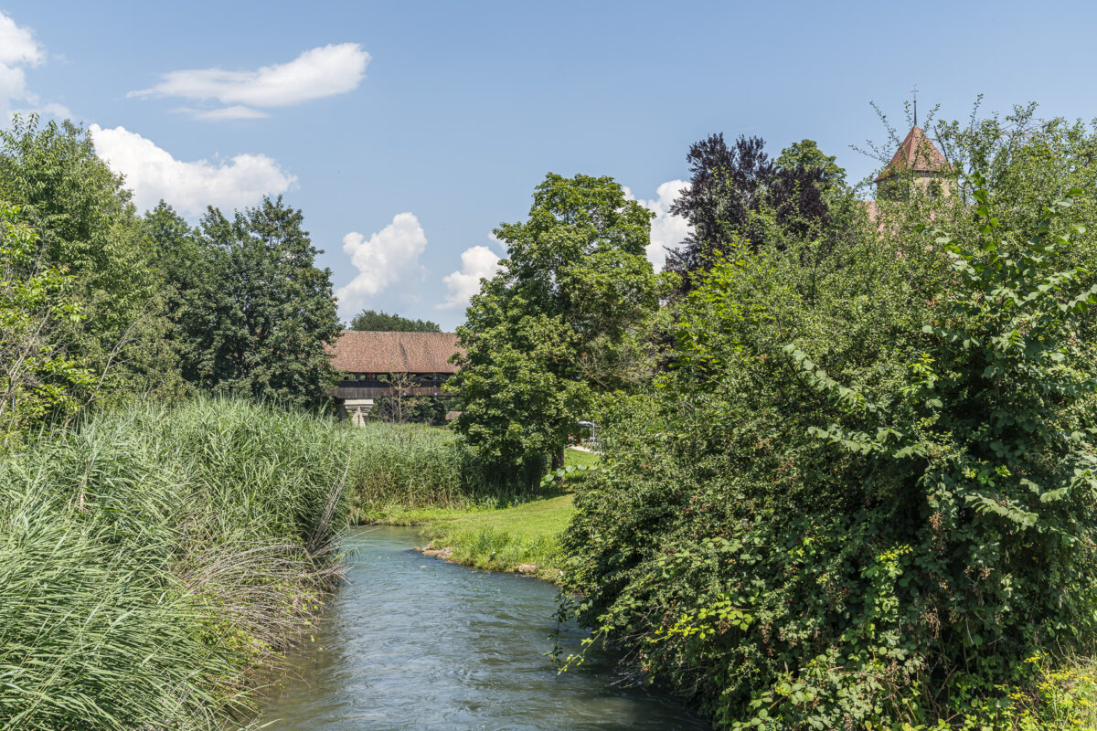
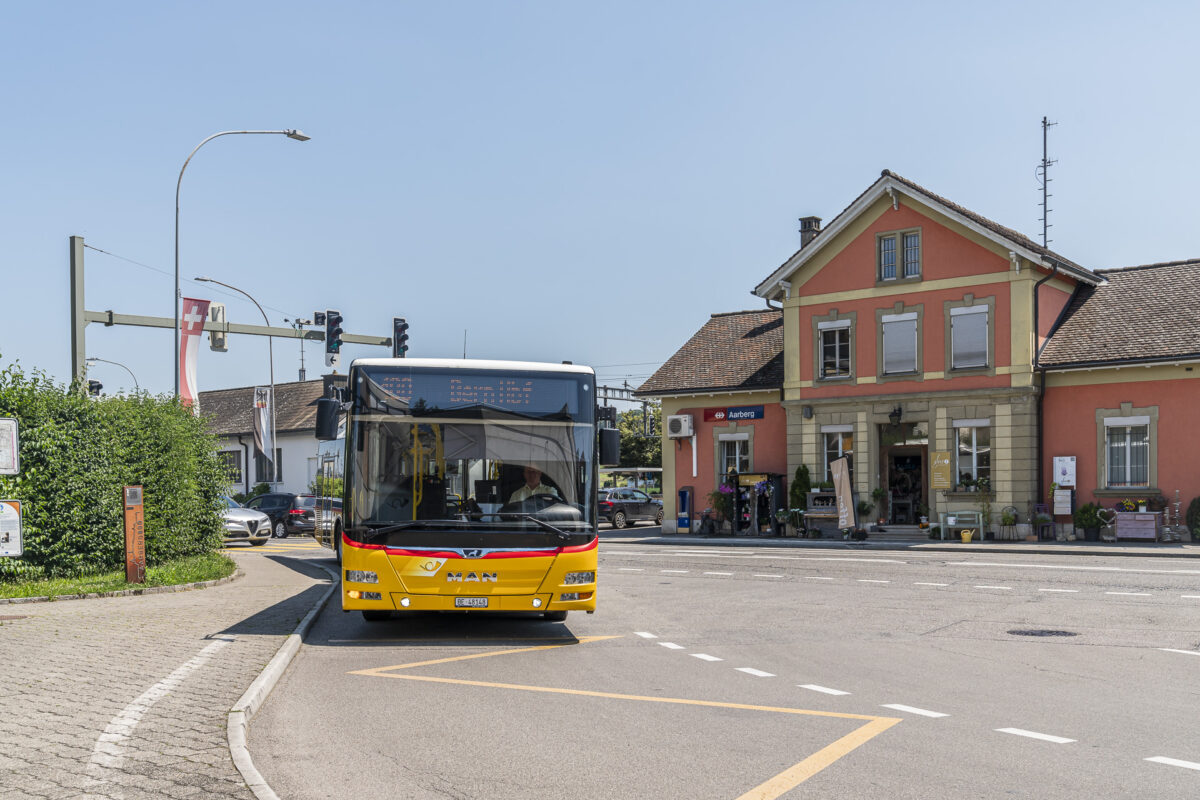
After our snack, we take a short city tour, following our noses over the town square and the wooden covered bridge to the bank of the old Aare, and from there back to the PostAuto stop Post/Bahnhof via the Ringweg. Just as we arrive, line 100 is pulling in. Perfect timing. We now head back to Bern via Wohlen with this line.
5. Relaxing Hours at Wohleibrücke
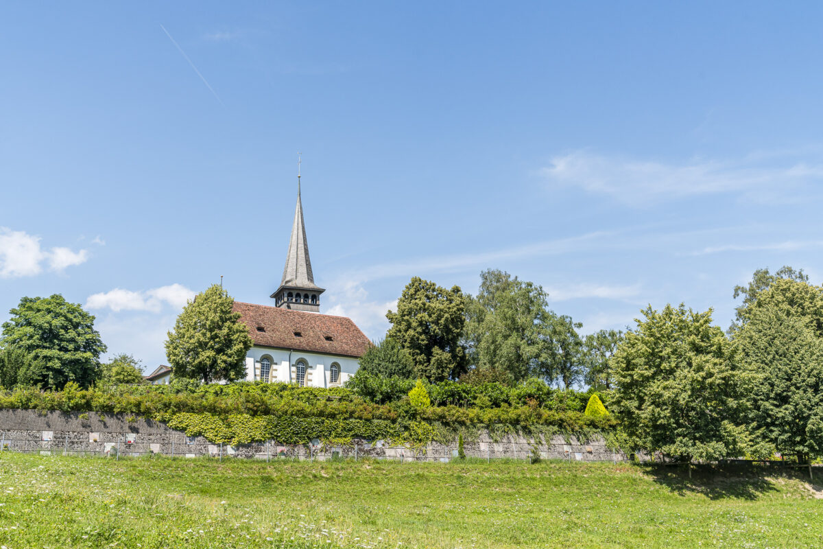
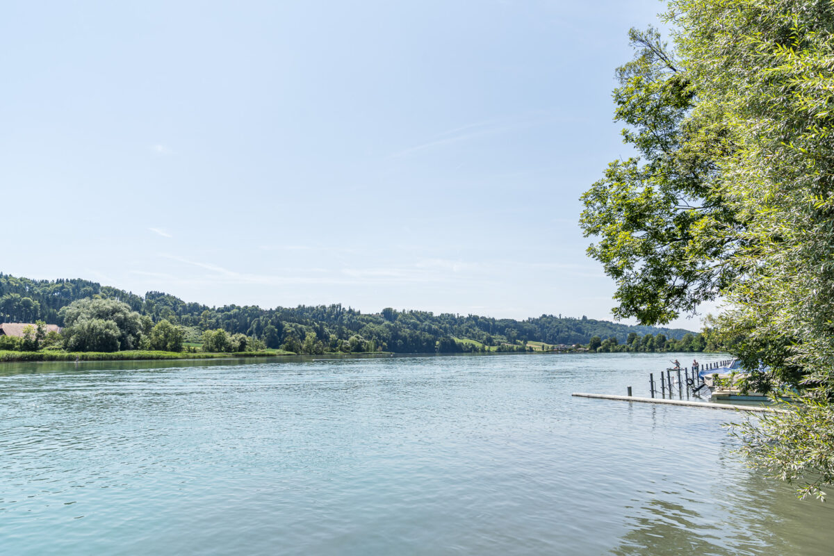
But of course, not by the most direct route. We want to end the beautiful day at the shore of Wohlensee. This plan can be carried out particularly well at Wohleibrücke. It can be reached with a ten-minute walk from the “Wohlen bei Bern, Gemeindehaus” stop. For the return trip, be sure to allow 15 minutes due to the 60 meters of elevation you have to climb. The path is hard to miss – just pass the pretty little church and then head straight for the distinctive arch bridge.
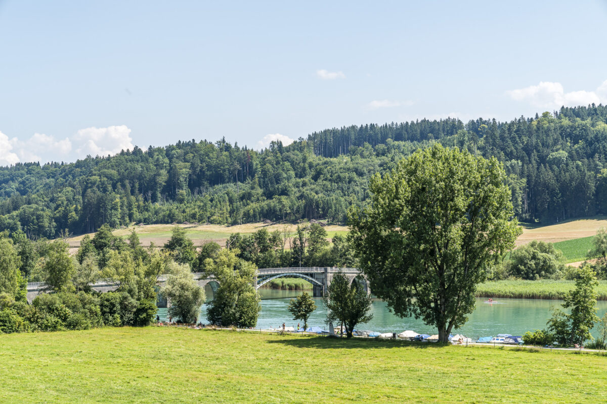
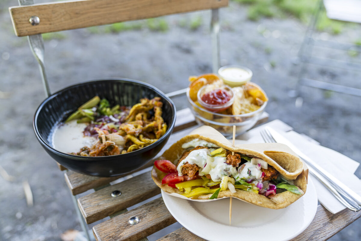
At Wohleibrücke, you can swim, sunbathe on the lawn, or rent a stand-up paddleboard. There are also two barbecue areas here (you need to bring your own charcoal/wood), and in good weather, the team at Bogen 17 delights with homemade, regional bowls, salads, drinks, and other delicious creations. A relaxed atmosphere, even though it can get quite busy in nice weather. Those arriving by Postauto will have a more relaxed experience – no need to search for a parking spot.
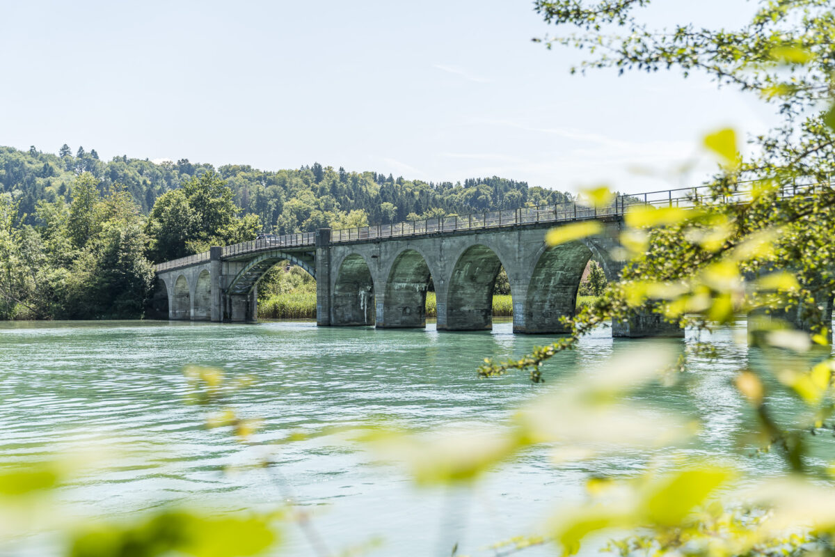
By the way: The eighth stage of the ViaBerna passes below Wohleibrücke.
Practical Tips for Your Trip around Frienisberg
-
- The PostAuto line 100 (Bern–Wohlen–Detligen–Aarberg) as well as line 105 (Bern–Meikirch–Seedorf–Lyss) and line 365 (Aarberg-Seedorf) run daily at regular intervals. This makes it very convenient to explore the Frienisberg recreational area by public transport without having to study the timetable meticulously. More information can be found in the two excursion tips for the Frienisberg Line and the Chutzenturm.
-
- For more regional excursion tips, it’s worth checking out the Frienisberg Tourism website. We were inspired by the “Top 10 Hiking Tips” for both the Lörmoos hike and the panorama hike to Chutzenturm, but we modified the routes to suit our needs.
-
- The Bogen 17 Kiosque at Wohleibrücke is open during the summer season (starting at the end of May). It is closed in bad weather. For daily updates (and a glimpse of the menu), visit their website.


Leave a Reply