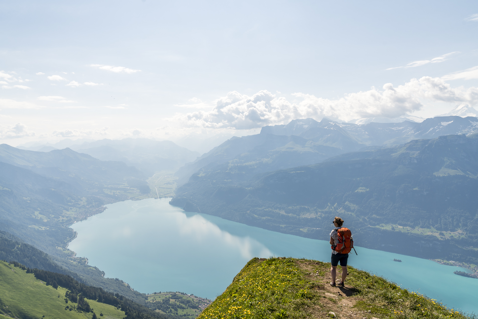
Hike from Lombachalp over Augstmatthorn to Interlaken
Advertisement: in collaboration with Swiss Youth Hostels
A tour through the Canton of Bern that combines the best of fantastic mountain panoramas and refreshing water experiences – this idea came to my mind at the beginning of this year when I was thinking about which short trips we could undertake as part of our partnership with Swiss Youth Hostels. It quickly became clear to me that with this theme, a stop in Interlaken could not be missing from the route – located on the “Bödeli” between Lake Thun and Lake Brienz – Interlaken is the ideal starting point for a variety of water and mountain experiences in the Jungfrau Region. And so, on a glorious summer day, we embarked on the first leg of the journey – the scenic hike over Augstmatthorn to Harder Kulm high above Interlaken.
Affordable Swiss Weekend Trips
In collaboration with Swiss Youth Hostels, I’m presenting budget-friendly and seasonal ideas for short vacations in Switzerland this year. To kick off this series, I explored the best winter activities in the Davos Klosters region. On the second tour, we cycled over the scenic hills of the Canton of Bern in 3 days, with stops at two very special youth hostels: Bern, Herzroute, Laupen, Burgdorf. The third tour took us along the Aare River from Lake Brienz all the way to the Zähringer city of Bern.
Start of the Hike from Lombachalp to Augstmatthorn
The starting point for the classic hike to Augstmatthorn is on the backside of the Brienzergrat at Lombachalp, not far from Habkern. Alternatively, you can also begin the tour from the Lucerne side via Brienzer Rothorn, which involves a 20-kilometer hike with a difficulty level of up to T5 (demanding alpine hiking with occasional climbing sections). The route over Augstmatthorn, however, is manageable without climbing and features what could be called the “chocolate side” of the Brienzergrat.
Due to the fantastic panorama that awaits you up here, Augstmatthorn has become an increasingly popular spot for wild camping in recent years – much to the dismay of local wildlife wardens. The area between Lombachalp and Augstmatthorn is part of a protected hunting area with strict conservation regulations, and wild camping is explicitly prohibited in such areas. The local population’s frustration with the increasing wild camping in recent years greets you right at the entrance to Habkern. Through the PostBus window, I am greeted not with a “Welcome,” but with the unmistakable sign: “Camping is prohibited throughout the entire municipality of Habkern” – the Bernese Oberlanders and their legendary hospitality (having grown up near the gateway to the Bernese Oberland, I think I’m allowed this tongue-in-cheek remark).
You can start the hike to Augstmatthorn either directly in the village center of Habkern, or save yourself four kilometers of the total 16-kilometer ridge hike by taking the bus to Lombachalp. We timed our arrival to make a direct connection with the alpine bus and thus started our ascent to Augstmatthorn from Lombachalp with fresh energy.
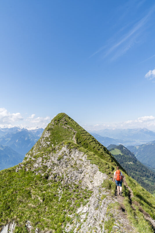
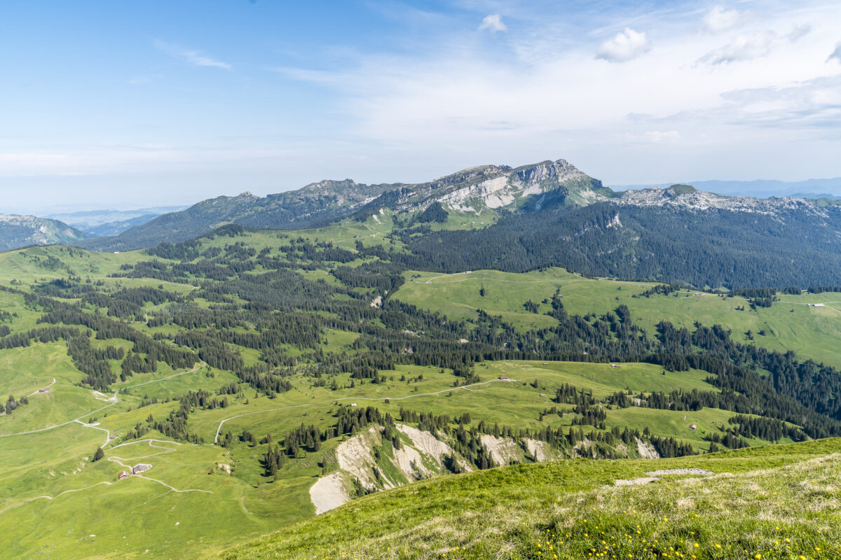
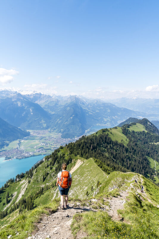
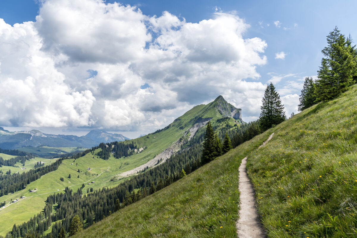
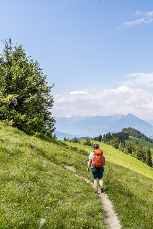
The hiking trail constantly ascends over alpine meadows along the northern slopes of the Brienzergrat toward the ridge. The ascent is not particularly difficult technically, and it’s worth pausing from time to time to take in the view of the neighboring Entlebuch with the distinctive Schrattenfluh. At Lombachalp, the ascent to Augstmatthorn is signposted at 1 hour and 50 minutes. This time is based on a very leisurely pace – we reached the ridge in just over an hour and were on the summit of Augstmatthorn, about 300 meters to the left, in just under 1 hour and 20 minutes.
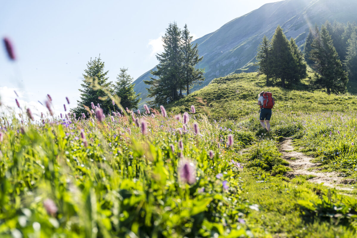
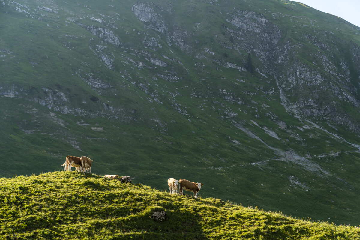
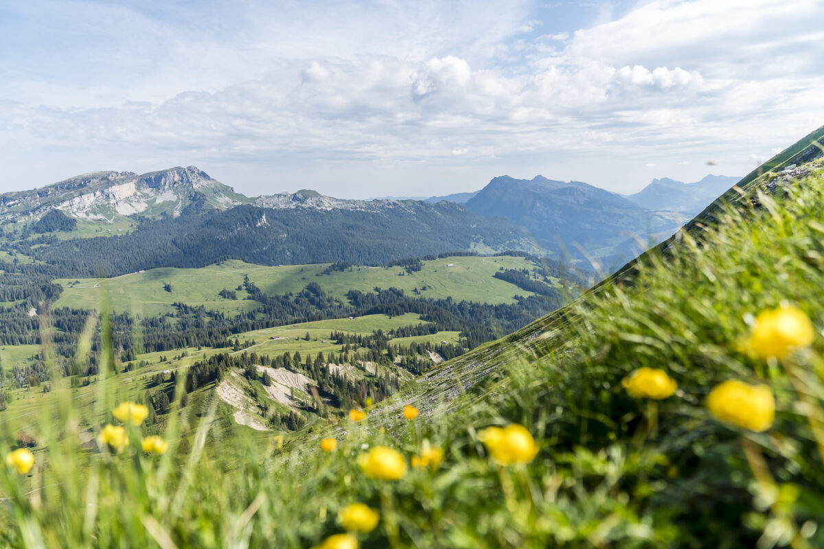
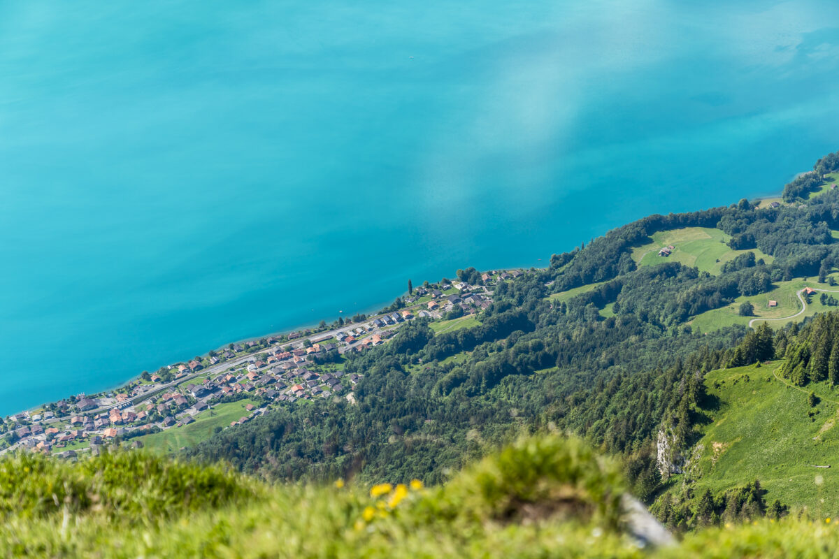
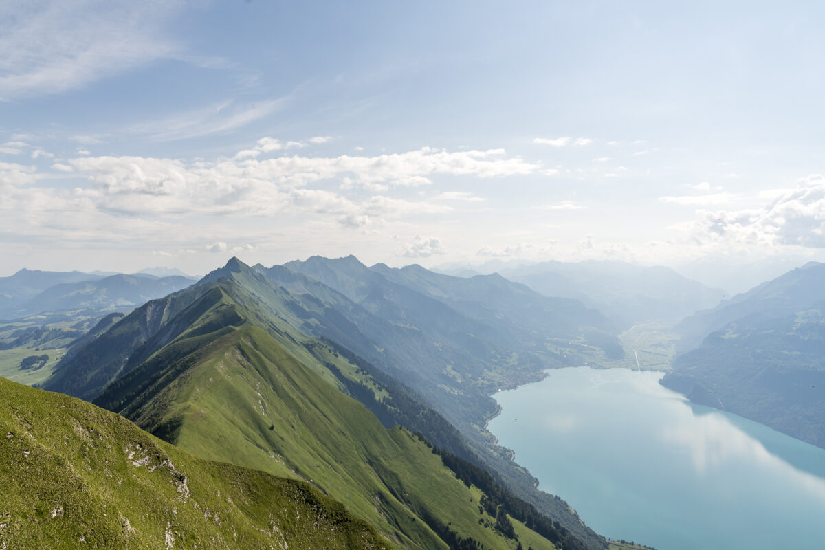
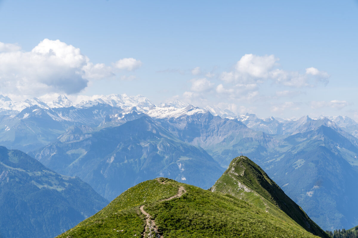
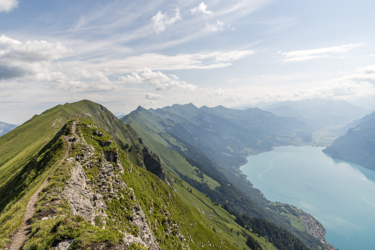
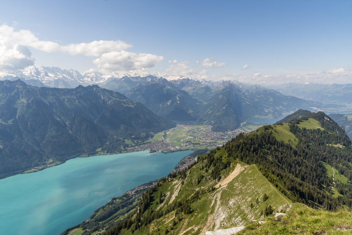
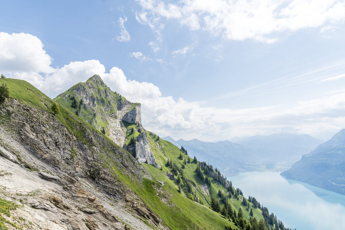
From Augstmatthorn, you get a wonderful view of the Brienzergrat all the way to Brienzer Rothorn. At the same time, the narrow path winding along the ridge toward Suggiture tempts you to keep hiking. With views down to Lake Brienz and expansive views of the Bernese Alps as well as the Emmental and Entlebuch: you’re certainly not deprived of beautiful sights here.
Continue Along Brienzergrat to Harder Kulm
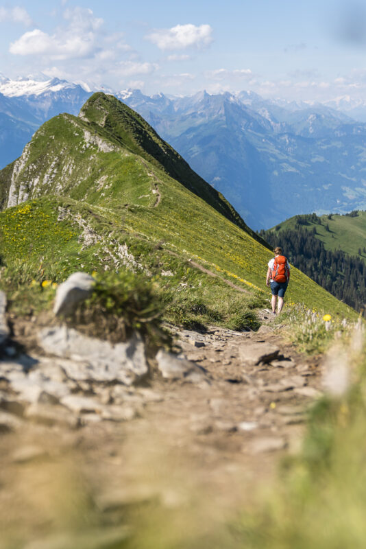
While there’s a short, steep, and somewhat exposed section to overcome on the last 10 meters up to Suggiture – from here, only the more relaxing part of the ridge hike follows. The hiking trail quickly descends about 200 meters in elevation toward Schönbüel and then follows the ridge for about six kilometers to Harder Kulm.
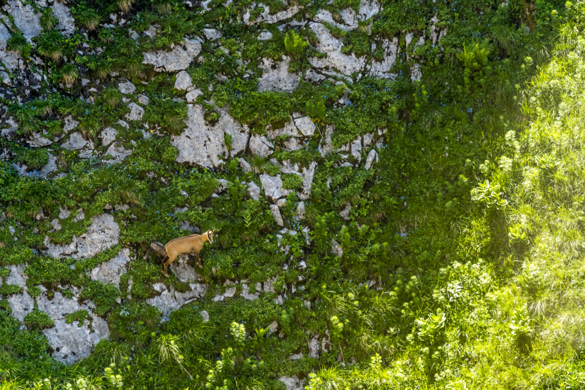
It’s worth bringing binoculars on this tour and looking for wildlife in the steep terrain below the ridge. Augstmatthorn was once a guaranteed spot for spotting ibex. Due to the increase in wild campers and day-trippers who drive to Lombachalp and hike from there to Augstmatthorn and back, the animals have retreated to steeper terrain during the peak season. But along the way, we do spot a group of chamois enjoying the morning sun on a grassy rock ledge.
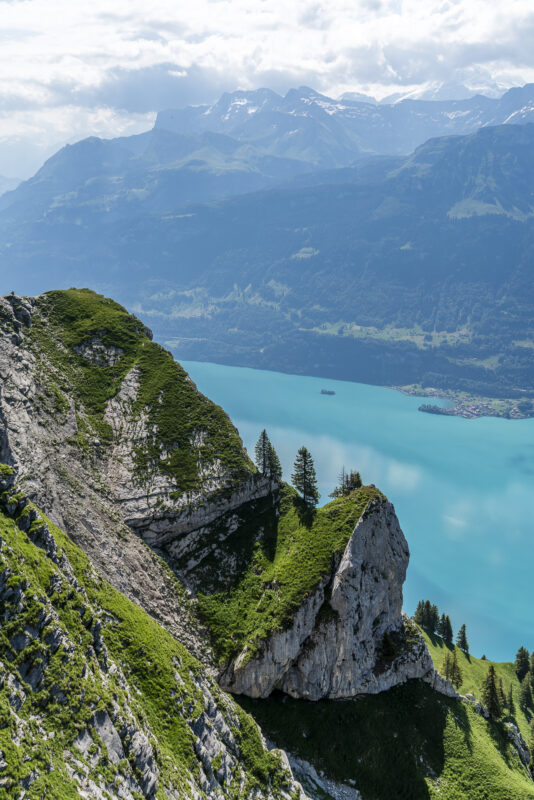
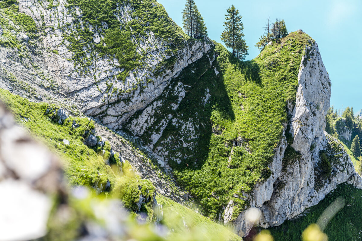
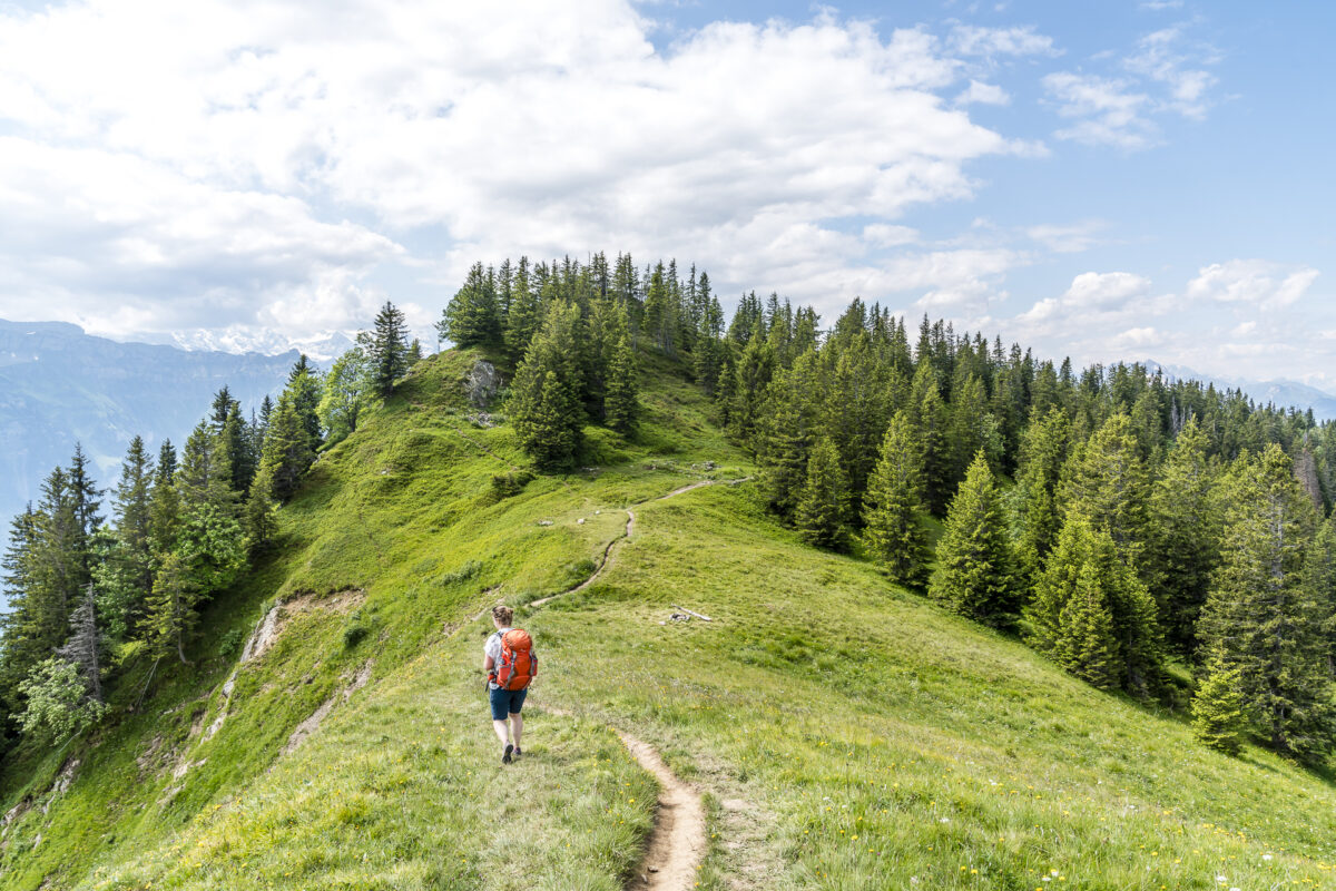
The trail between Suggiture and Harder Kulm is very diverse – the closer we get to Harder Kulm, the more wooded it becomes. However, we were surprised that we encountered very few people along the way. It wasn’t until we reached “Wannichnubel,” a viewpoint near Harder Kulm, that the number of hikers increased.
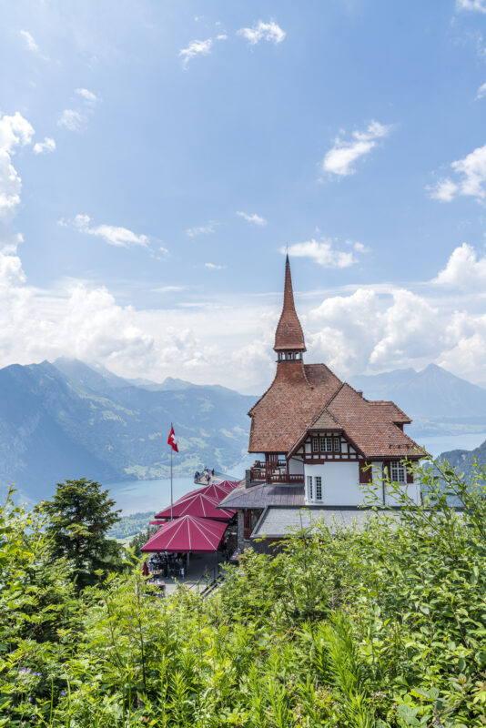
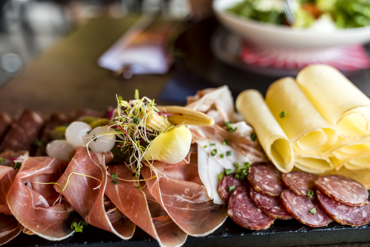
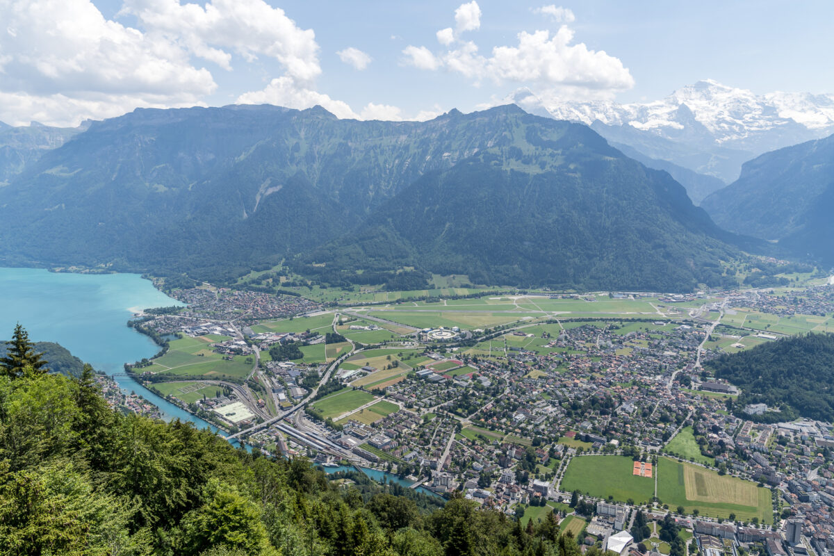
After nearly four hours, the destination of our hike – Harder Kulm – appears before us. For our rumbling stomachs (there are no other dining options directly along the way), the much-anticipated meal awaits us here. We then enjoy the panoramic view of Interlaken from the observation deck. From this bird’s-eye view, we can already spot our day’s final destination, located right next to Interlaken Ost train station beneath a wonderfully green canopy of trees.

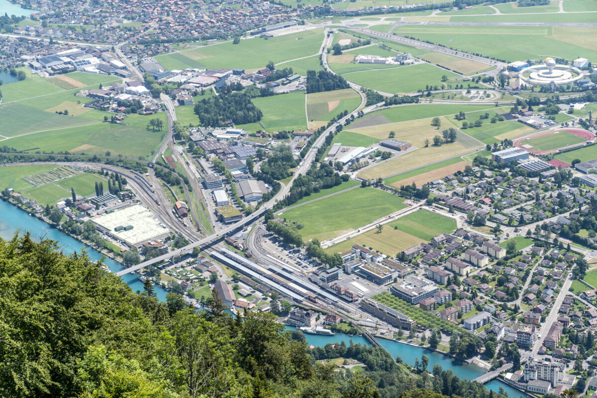
Base Camp: Youth Hostel Interlaken
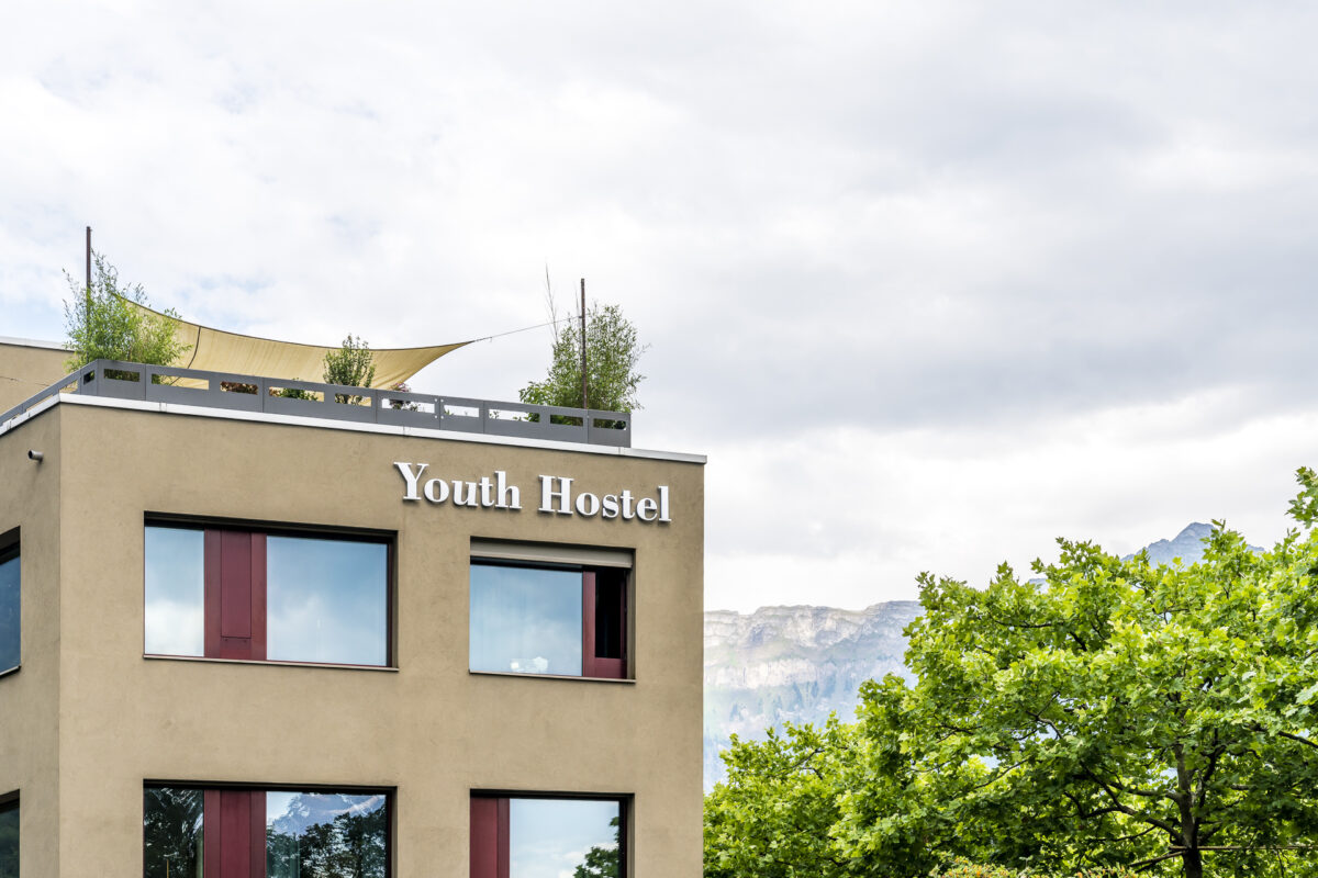
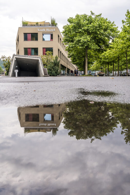
The Swiss Youth Hostel is located in a new building in a prime location right next to Interlaken Ost train station, with rail connections to Lauterbrunnen and Grindelwald. It’s the ideal base for discovering the Jungfrau Region by public transport or – as we plan to do the next day – for day trips to Bern or Thun. The entrance area of the Interlaken hostel also serves as a public café/bar/restaurant area (Restaurant 3a) and is lively at all times of the day. In the morning, hiking groups meet here for coffee, at lunchtime there are daily specials at attractive prices, and in the evening, it’s a wonderful place to enjoy an “apéro” under the dense green tree canopy.
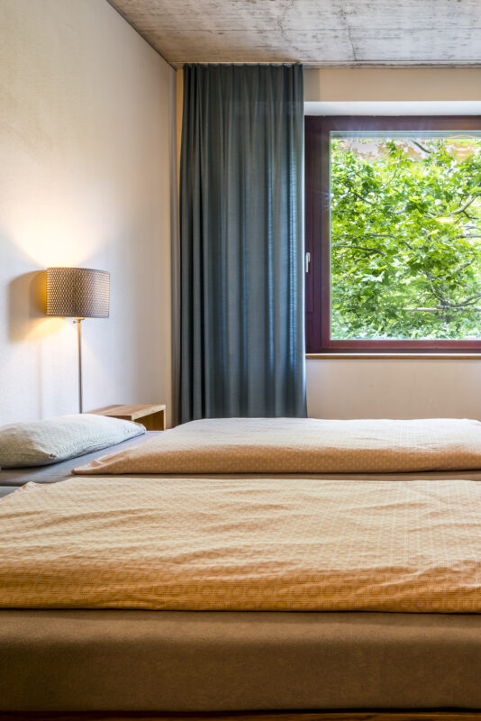
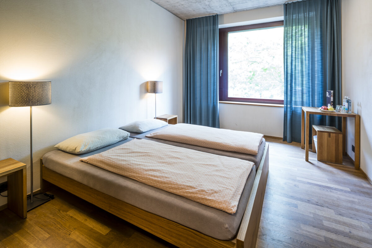
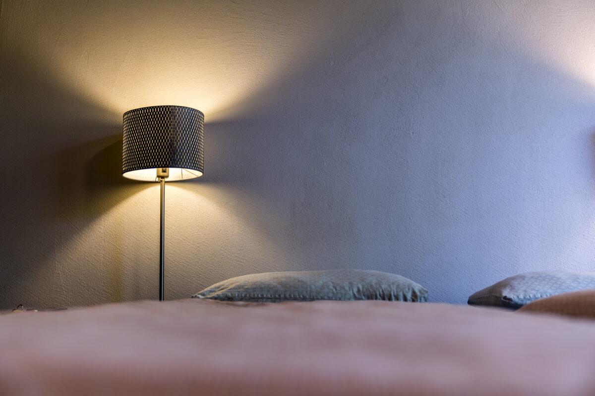
I’ve already introduced several modern youth hostels on this blog. Similar to Gstaad and Bern, the rooms here are also simple but functional, with a few distinctive details – such as the lamps or the exposed concrete ceiling – that add a touch of style. I was delighted to find a plate of fresh fruit in our double room with an integrated shower/WC.
After a quick refresh, we took the opportunity to stroll through Interlaken. Unlike previous summers, it’s much quieter here now. In recent years, Interlaken has primarily served international visitors as a base for exploring the impressive landscapes of the Jungfrau Region. While paragliding tandem flights usually land on Höhematte almost every minute, it remains quiet on this day. For me, who has been to Interlaken many times, it’s a strange feeling – but at the same time, it’s the perfect opportunity to plan a trip to the area.
For dinner, we return to the youth hostel. There’s both an à la carte menu and a daily menu with a starter, main course, and dessert for 17.50 CHF. Given that the daily menu was “Chügelipastetli with carrots and peas,” the choice was easy for me.

Magical Morning Hours at Lake Brienz
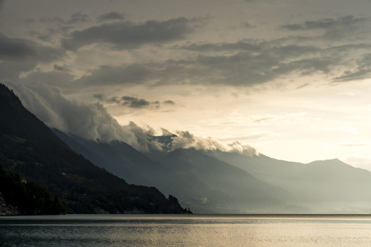
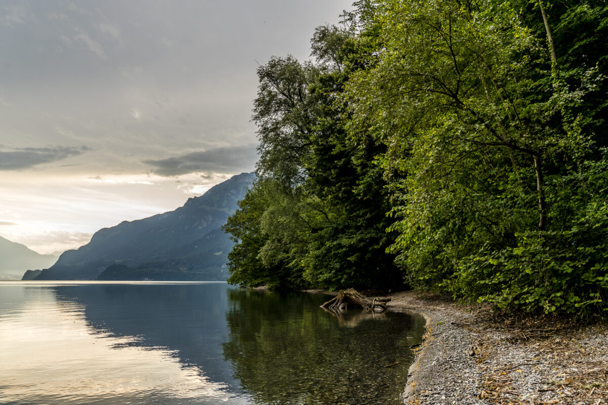
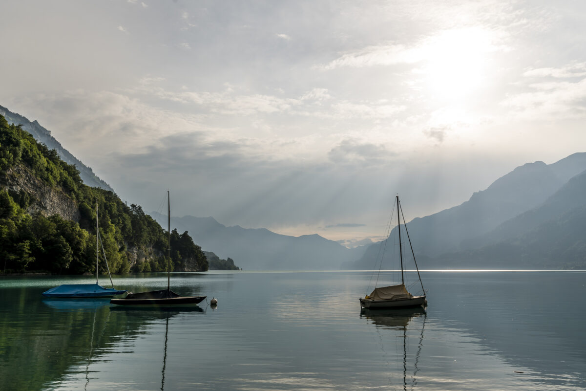
The next morning, our desire for activity wakes us early. We walk along the Aare Canal from the youth hostel toward the Bönigen beach in the early dawn. A truly great and atmospheric start to the day, which will later take us further to Bern by water.
Further Excursions Around Interlaken
Alternatively to our tour, which takes us from Interlaken to Bern, it’s also worth extending your stay in Interlaken and using the well-located base to explore the numerous excursion destinations around Interlaken. Over the years, we’ve taken various trips to the region and blogged about numerous tips. Below is a selection of ideas for what you can do around Interlaken:
- For a panoramic half-day excursion, head to the Schynige Platte above Wilderswil. Up there, you can take an easy two-hour circular hike on the Panorama Trail.
- A highlight in the Jungfrau Region is a trip to the Jungfraujoch. You can find impressions and information about this excursion here: my first time at the top of Europe.
- On hot days, you can cool off in the Aare Gorge near Meiringen or at the Trümmelbach Falls near Lauterbrunnen. A visit to the Trümmelbach Falls can also be combined with an easy hike through the impressive “Valley of 72 Waterfalls.”
- If you didn’t spot any ibex on Augstmatthorn and want to try your luck again, I recommend a trip to Niederhorn.
- On hot days, the Thunersee Canoe Trail offers a welcome cool-down. The starting point for the canoe trail is the – also worth seeing – bay of Spiez.
- The varied Thunersee Panorama Trail also offers the opportunity to visit some sights, such as the Beatus Caves or the Sigriswil Suspension Bridge.
- One of my favorites is the hike through the Hintere Lauterbrunnental. This can be done as either a day hike or a two-day hike.
Practical Tips for Your Hike Over Augstmatthorn to Interlaken
- The starting point of the hike to Augstmatthorn can be reached by PostBus from Interlaken via Habkern. Depending on the time of day, there’s a connecting service with a Bus alpin to Lombachalp. The cost for this is 10 CHF for adults and 6 CHF for children. Rides outside the schedule are possible upon request.
- The ridge hike from Habkern to Harder Kulm is a mountain hiking trail (T3) that is not particularly difficult technically. The route is shown in the following map.
- The Harderbahn funicular takes you comfortably down to Interlaken from Harder Kulm (single ticket: 20 CHF). Alternatively, you can also hike down.
- At the Youth Hostel Interlaken, overnight rates for a double room with a private shower/WC start at 144 CHF* per night, including breakfast.
- *Everyone has the option to purchase a membership and benefit from discounted overnight rates. More info at: www.youthhostel.ch/membership
Key Facts About the Lombachalp – Augstmatthorn – Harder Kulm Hike
| Starting Point | Bus stop Habkern, Lombachalp-Roteschwand (reachable via “Bus alpin”) |
| Length | 10.6 kilometers |
| Elevation Gain | ↗ 796 m ↘ 1’048 m |
| Duration | 4:30 h |
| Destination | Interlaken, Harder Kulm funicular |


Leave a Reply