

Hike from Inneneriz to Kemmeriboden-Bad
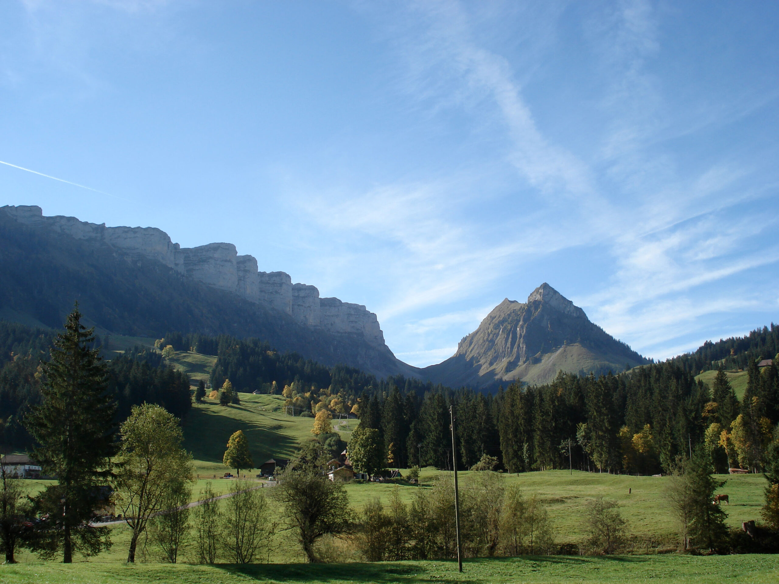
Last Saturday we took advantage of the great autumn weather for a hike from Innereriz to Kemmeriboden-Bad. For all summiteers among you, the disappointment in advance, our hiking route did not contain a single summit ascent. But still, this route offered us an absolutely great panorama (7 stallions, Hohgant, Schrattenflueh) and an autumnal spectacle of colors.
Map of the hike from Innereriz to Kemmeriboden-Bad
On the map you can see our route, which leads along the Hohgant through the Emmental. The route is about 12 km long and includes an ascent of about 750 meters in altitude (highest point about 1,450 m above sea level). We needed about 4 hours for the entire route, including a half-hour lunch break.
If you prefer to take a shorter hike to the Kemmeriboden-Bad, I can recommend the tour variant from Sörenberg along the moorland path. This hike takes only 2.5 hours and can also be done well with children.
| Starting point | Eriz, Saw |
| Length | 12.3 kilometers |
| Elevation gain | ↗ 684 m 748 m ↘ |
| Duration | 4 hrs |
| Destination | Kemmeriboden |
| Refreshment stops | Hotel Landgasthof Kemmeriboden Bad |
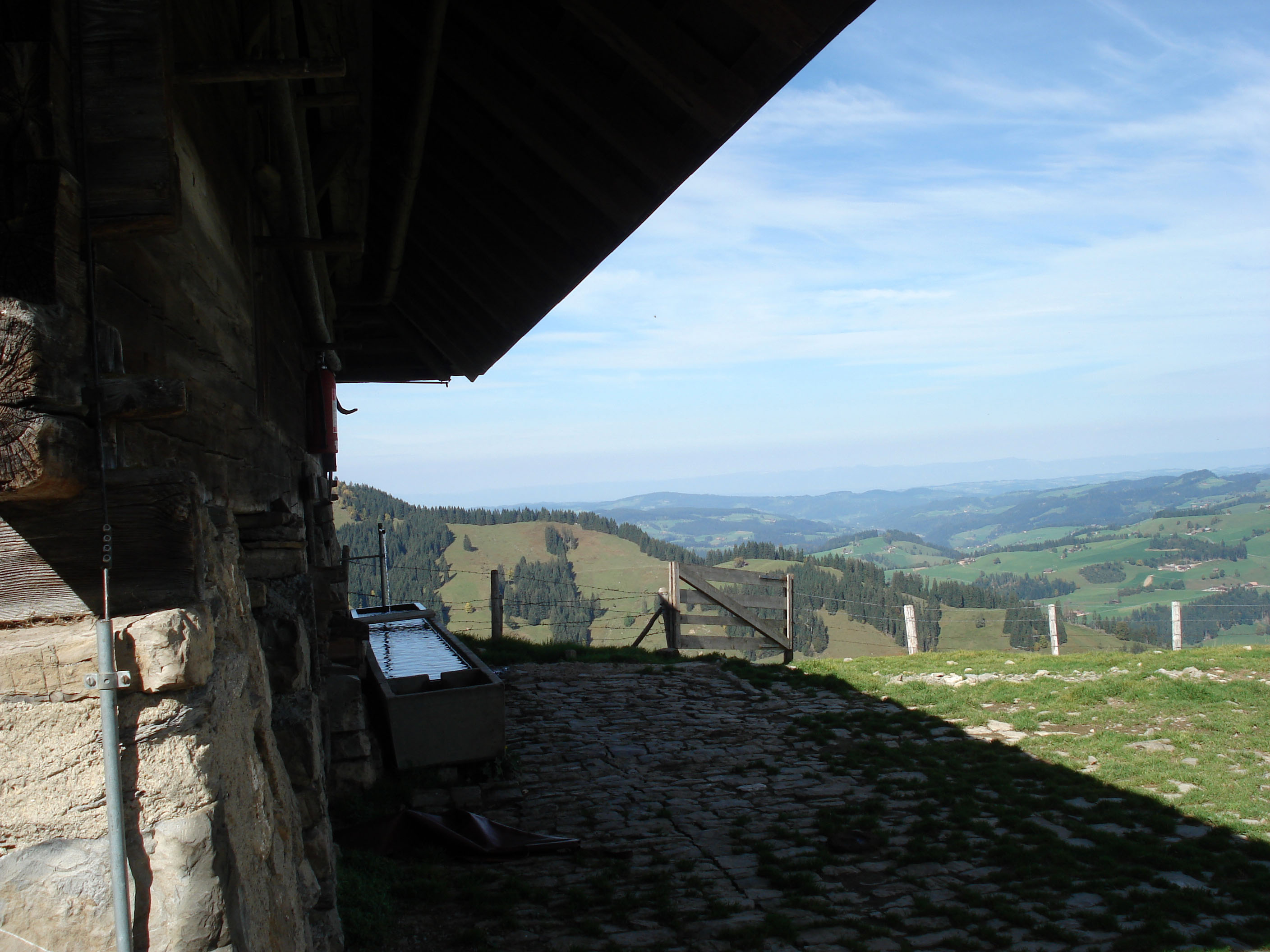
We arrived from Thun (bus no. 41 from Thun main station). After a half-hour bus ride, we started our hike in the Innereriz. At first, the path led steeply uphill through a short section of forest. Arriving at the Upper Breitwang, you have completed the first meters of altitude. From here, the trail leads with a slight up and down below the Hohgant through the protected moor landscapes of the Rotmoos and the Wimmmisalp.
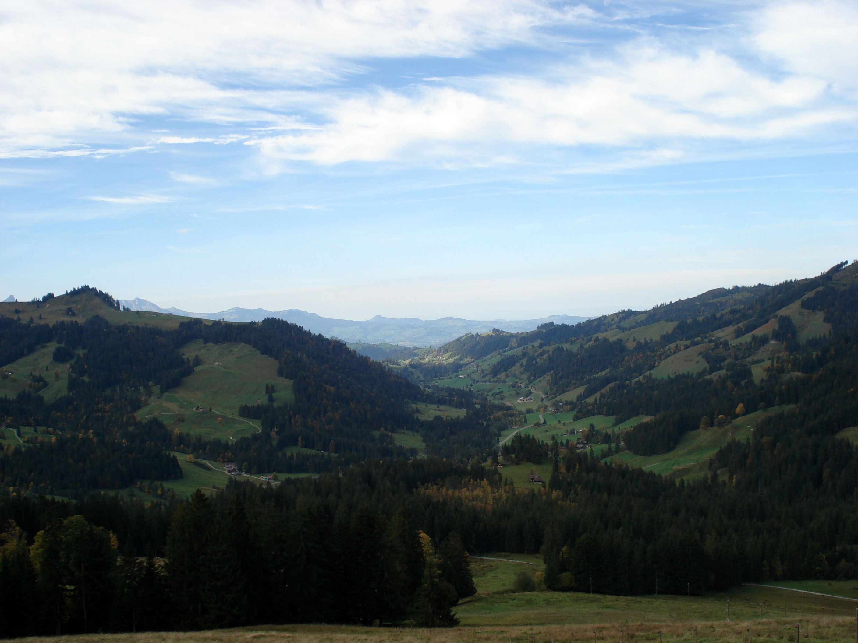
Although the weather was beautiful, we encountered only a few hikers and a few bikers on this route. You pass various alpine huts, but they are already abandoned at this time of year. We then enjoyed our picnic with a beautiful view on the Wimmisalp.
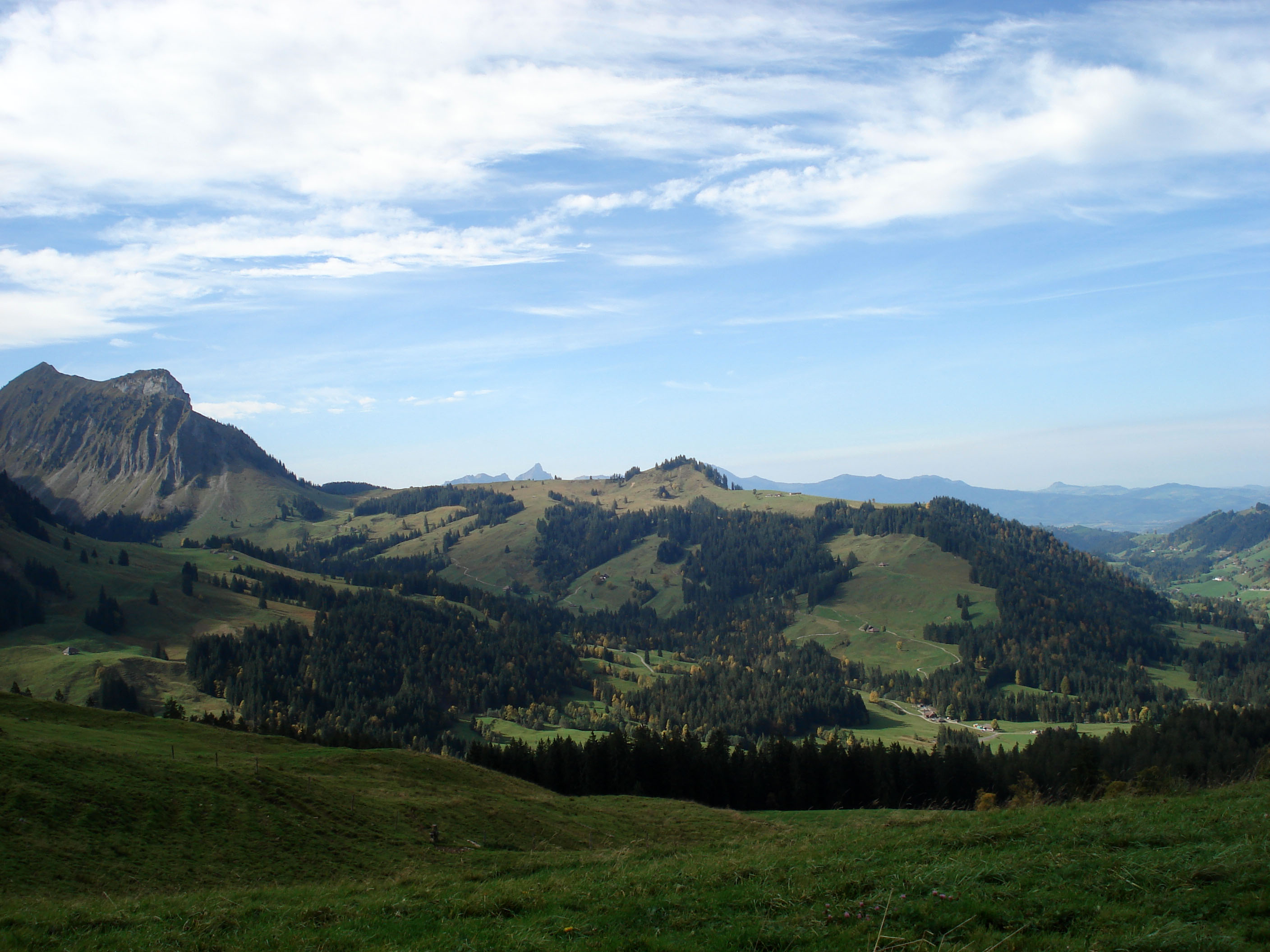
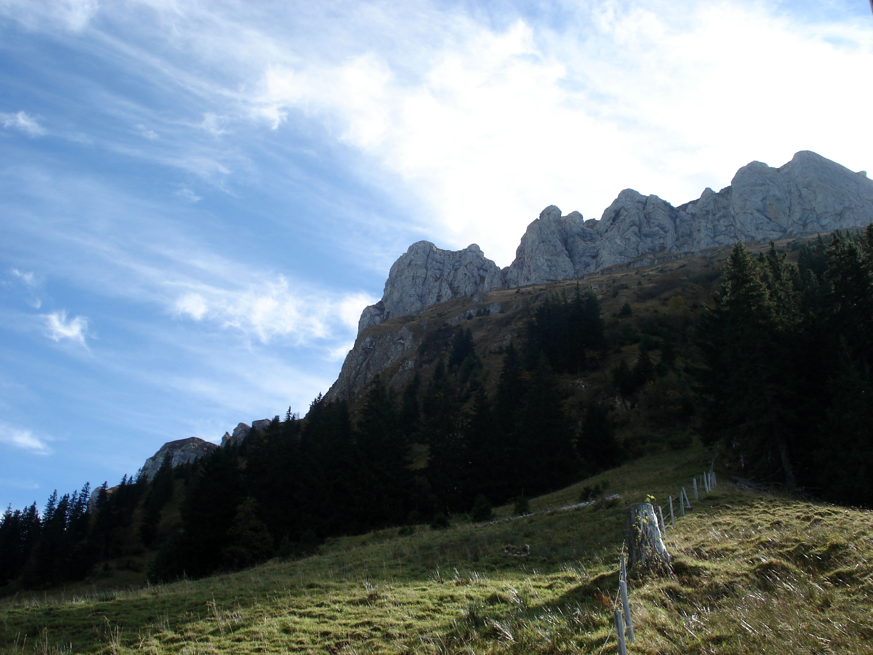
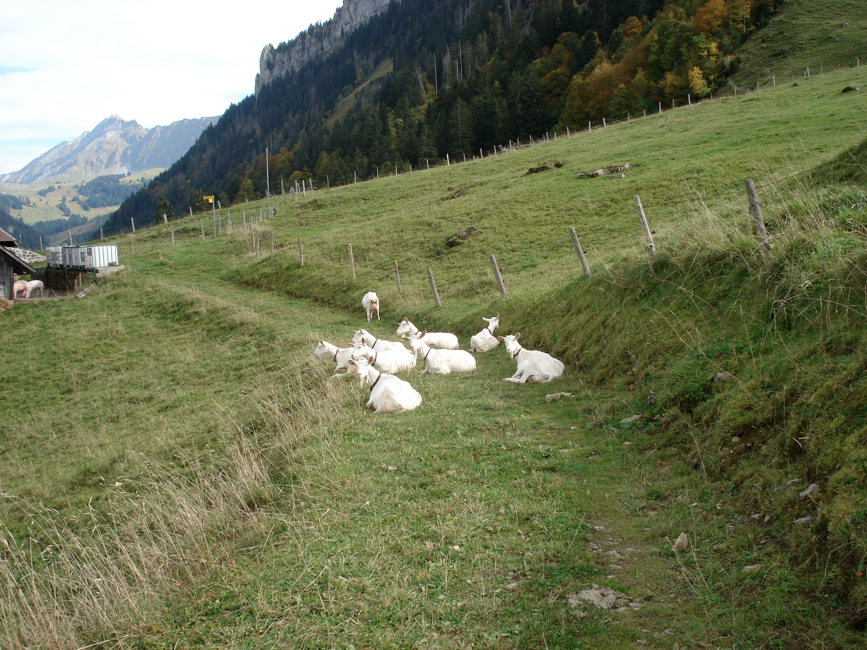
After lunch, the path led back into a beautiful mountain forest, which reminded me of a fairytale landscape. This was followed by a steep descent along an old scree slope. In this section, the trail was a bit difficult to find at times due to heavy rainfall and you had to be careful where you step. In addition to alpine pastures with cattle and sheep, we also met a very funny herd of goats on the way, which has chosen the hiking trail as a resting place.


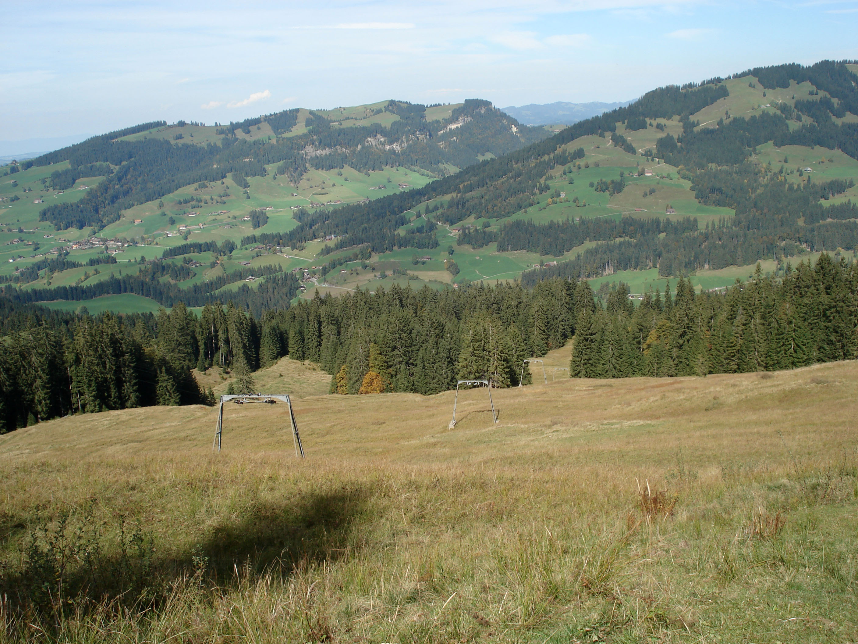
By the way, the hiking trail also leads through the area where Swiss skier Beat Feuz made his first attempts at skiing. You can even pass the corresponding ski lift.
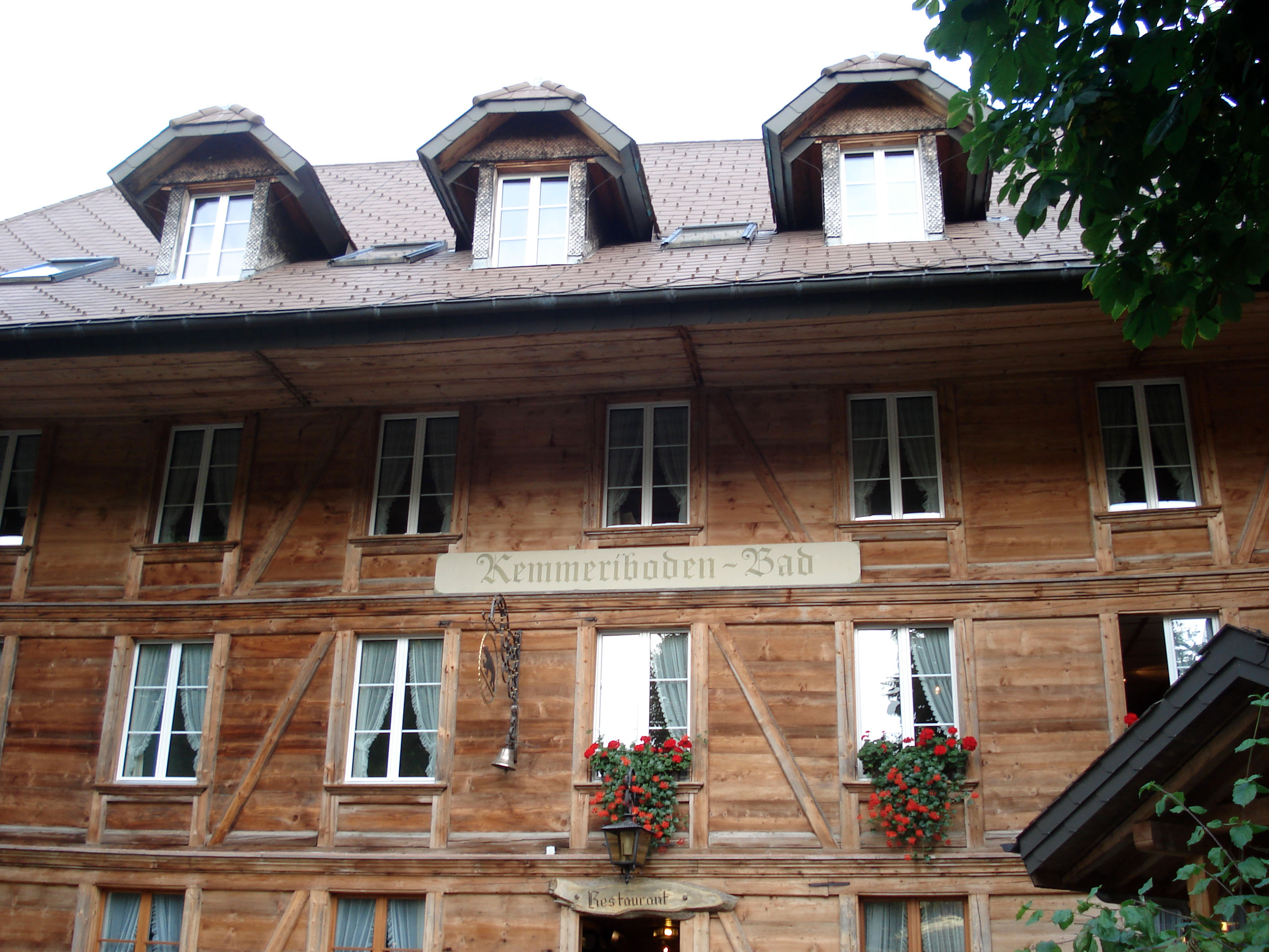
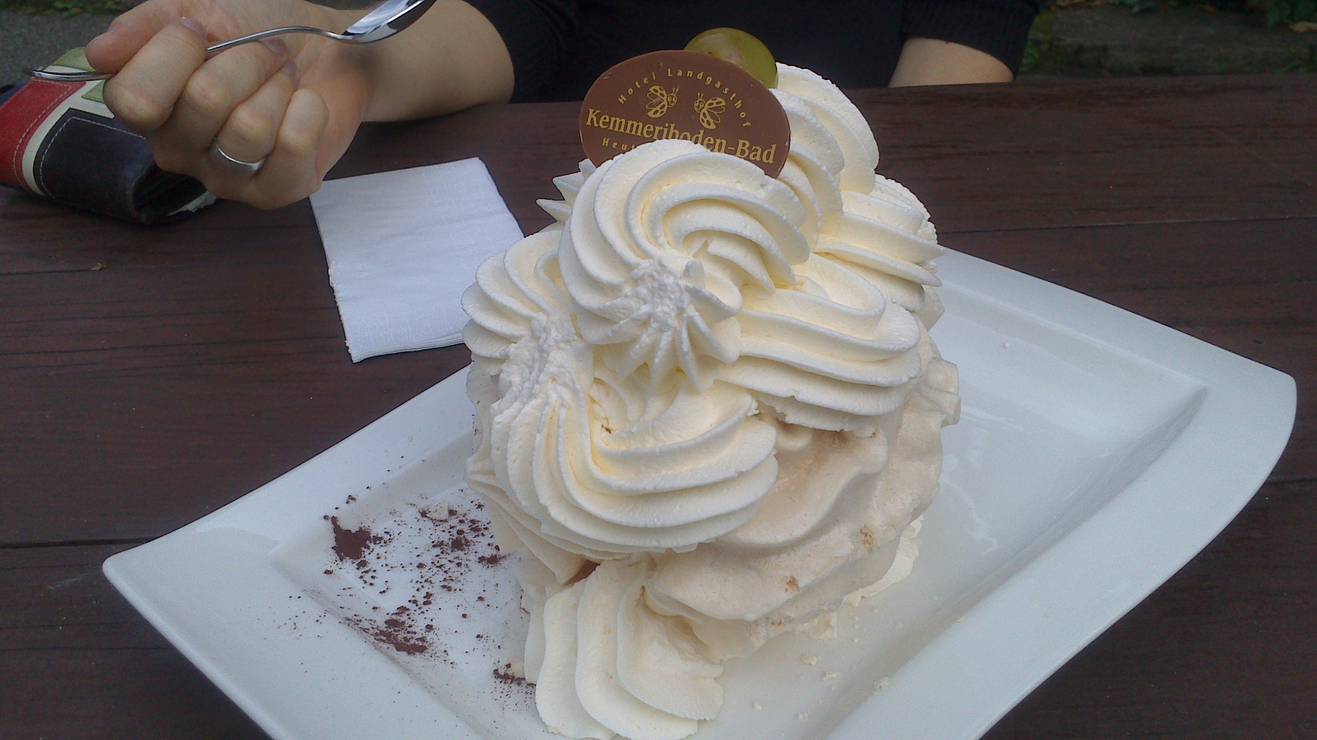
Since we wanted to catch the hourly post bus to Escholzmatt and had planned the obligatory meringue stop at the Kemmeriboden bath, we stepped on the gas on the last kilometer. In the restaurant, we had to realize that working quickly and efficiently is not exactly one of her strengths. After about 40 minutes of waiting (5 minutes before the post bus left) we finally got to enjoy the legendary Schangnauer meringues (and yes, they were very tasty / cost 10.90 CHF).
I liked the hike because it is very varied, the gradients vary and a medium level of fitness is sufficient. The next day I felt the mountain kilometers in my legs. :-)

Leave a Reply