

11 beautiful snowshoe hikes in Switzerland
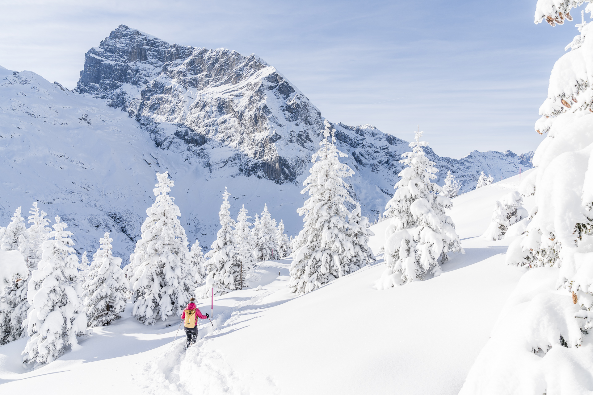
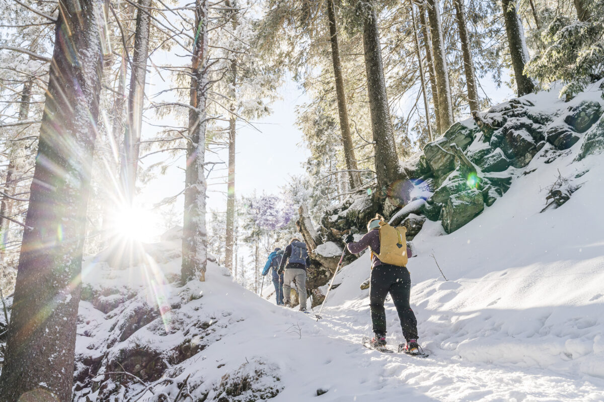
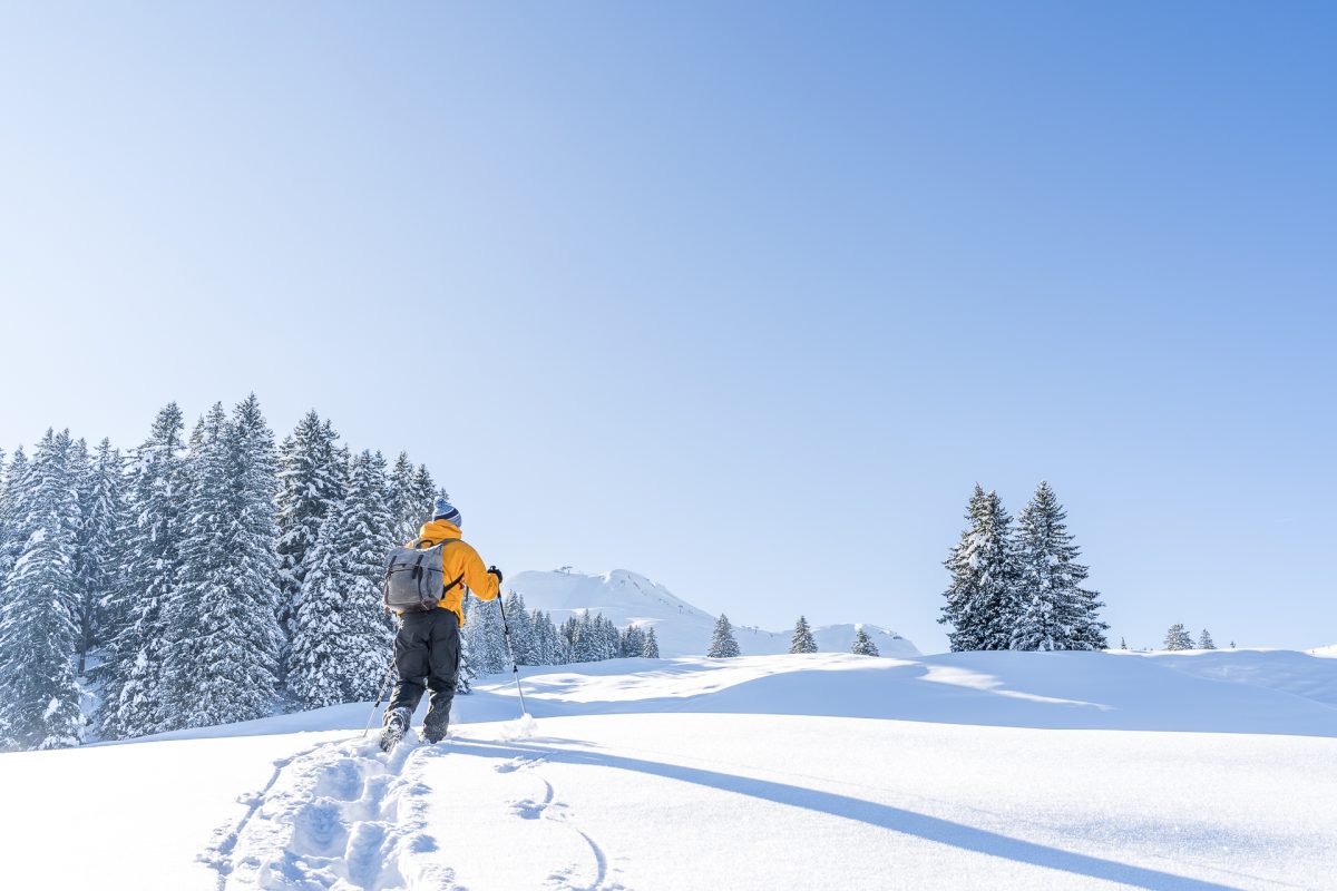
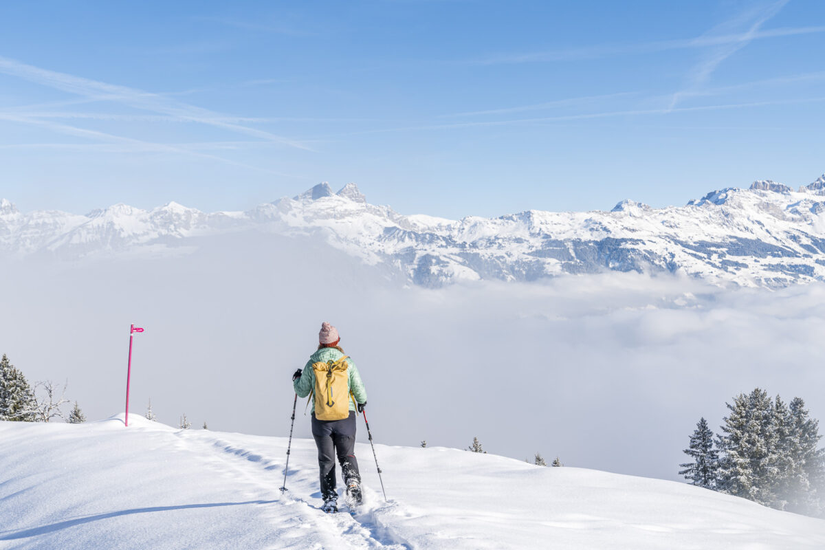
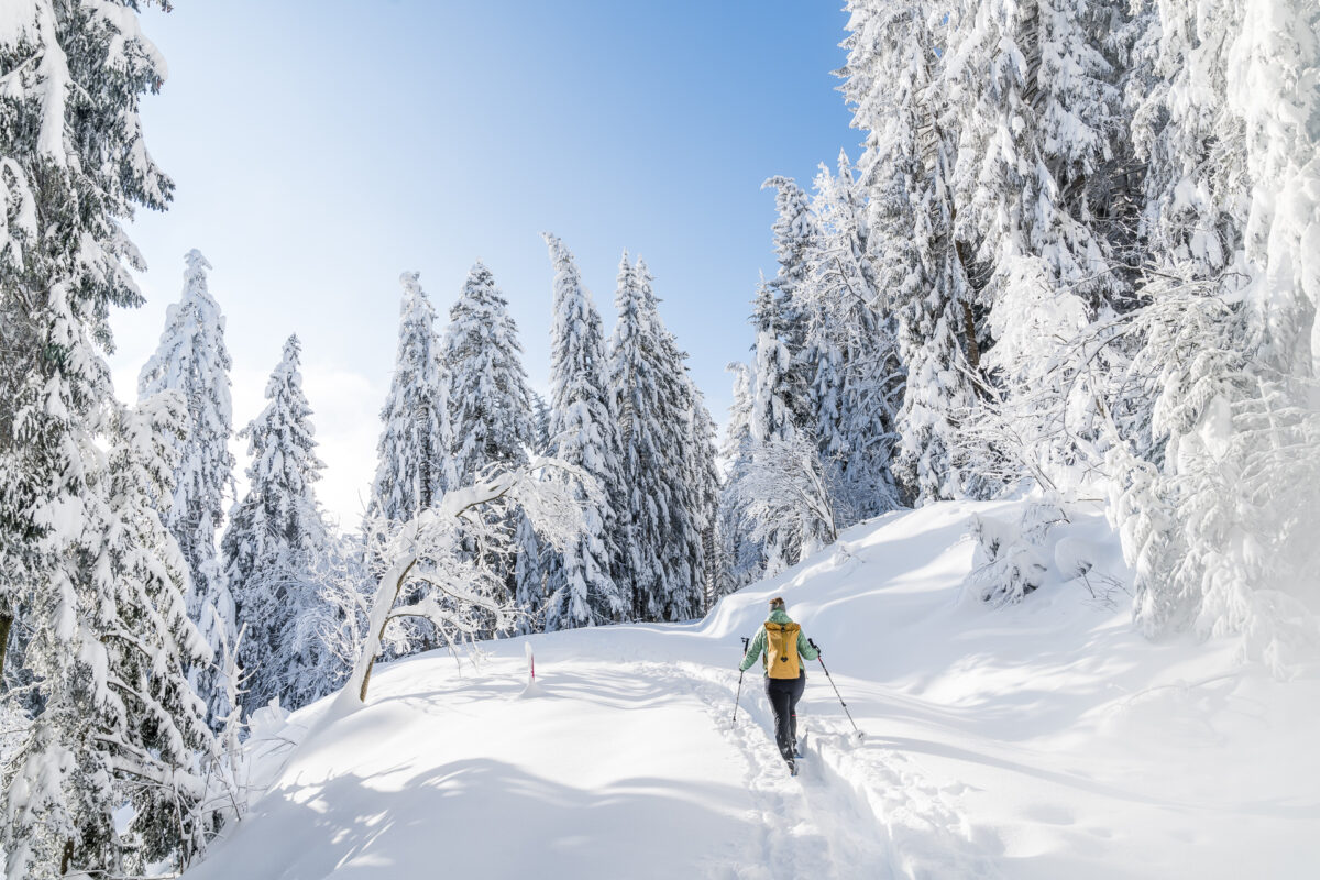
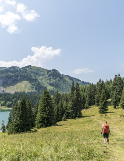
Do you love to be out and about in nature and enjoy the winter landscape? Then a snowshoe hike in Switzerland is just right for you! We have scouted numerous snowshoe trails in recent years and “cheered” loudly for joy more than once while trudging through powder snow glistening in the sunshine. In this blog article, we have compiled our favorite snowshoe hikes in Switzerland. You will find an overview of the most important key data for each tour and the link to the detailed tour description.
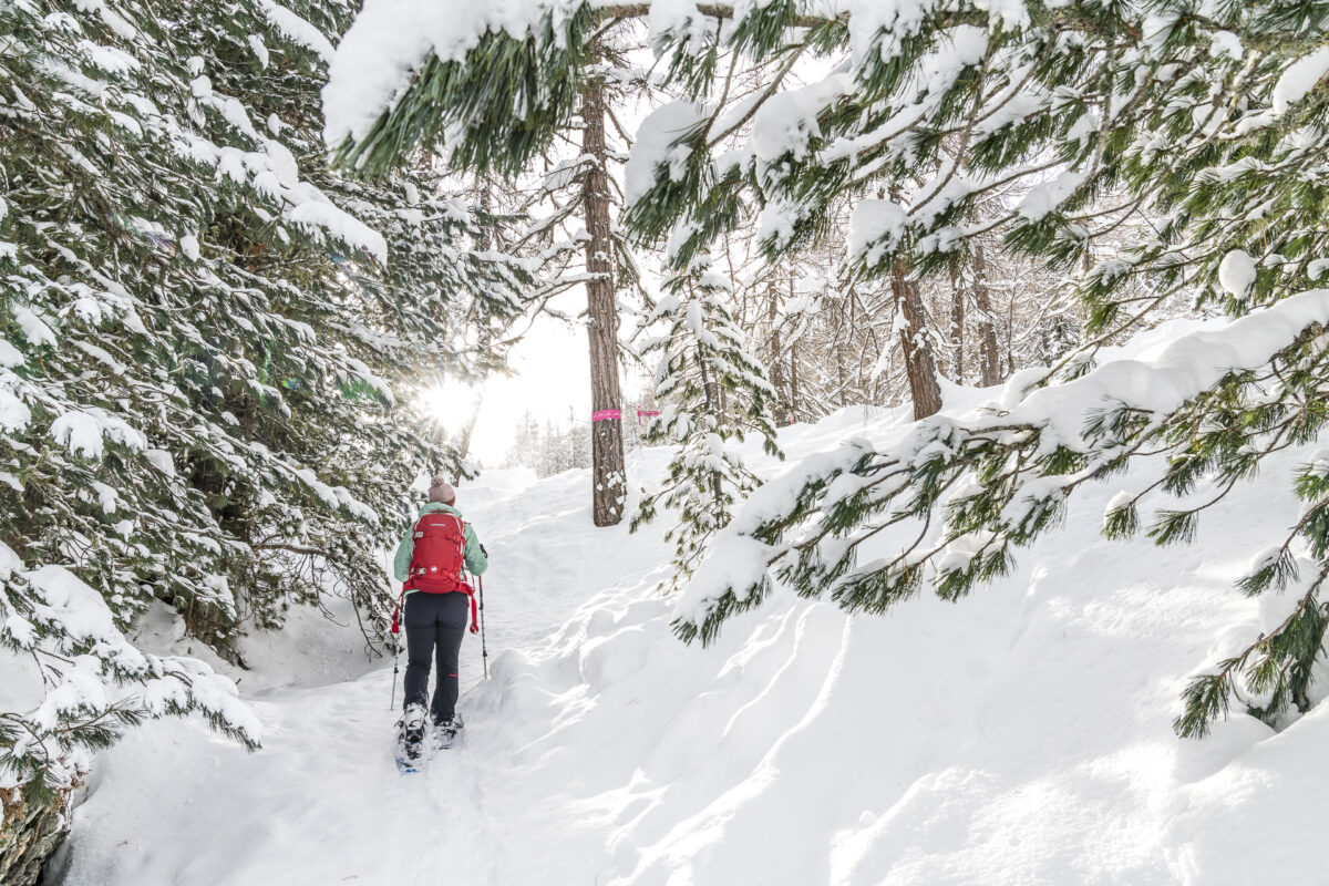
Even though almost every winter sports area now has signposted snowshoe routes on offer, you should not ignore your personal tour preparation. Find out about the weather and snow situation in advance. Dress appropriately – preferably according to the onion principle and if you don’t have your own snowshoes, then find out where you can rent them locally. Last but not least: snowshoeing is incredibly fun – but it is also associated with physical exertion, especially in fresh snow. For beginners, I recommend starting with shorter routes (> 8 kilometres) with little difference in altitude (> 350 m).
But now – below you will find 11 ideas for beautiful snowshoe hikes from the Bernese Oberland to Central Switzerland to the farthest tip of the Engadine.
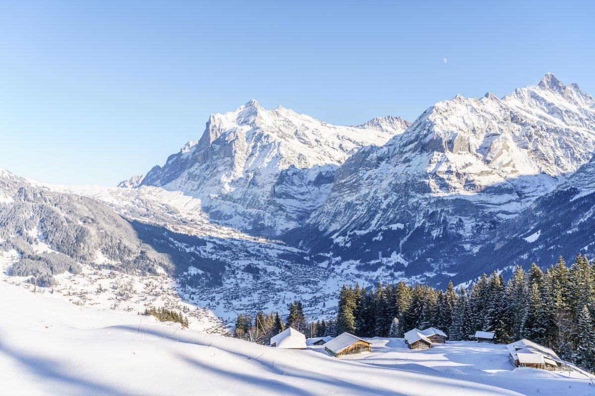
Eiger Trail
The “Eiger Trail”, which is signposted for snowshoe hikers, is not to be confused with the Eiger Trail, which is well-known in summer and leads from the Eiger Glacier station along the flanks of the mighty Eiger north face to Alpbiglen. The starting point of the snowshoe version (route no. 7) is the Holenstein middle station of the Männlichenbahn. From there, the trail leads towards the north face of the Eiger and ends about 5.5 kilometres later at the Brandegg station of the Wengernalp Railway. There, it’s worth stopping off at the restaurant of the same name – the speciality of the house: Öpfelchüechli with vanilla sauce!
Constant companion? The magnificent view of the Grosse Scheidegg as well as the Schreckhorn and Wetterhorn!
| Starting point | Holenstein middle station (1,619 m above sea level) |
| Reachability | accessible by public transport |
| Length | 5.5 kilometres |
| Elevation gain | ↗ 155 m 440 m ↘ |
| Duration | 1:30 – 2.00 h |
| Destination | WAB station Brandegg (1,332 m above sea level) |
| Catering | Mountain restaurant Alpiglen (apple fritters) |
Schwarzenbühl-Panoramatrail
On the Gurnigel in the Gantrisch Nature Park there are several beautiful snowshoe trails. In my opinion, the 4-kilometre-long Schwarzenbühl Panorama Trail is particularly recommended. This is a little more remote in the Seli Valley and, after a short but crisp ascent through the forest to a ridge path with great views, offers a magnificent view of the Bernese and Fribourg foothills of the Alps. It is best to pack a thermos flask with hot tea (or coffee) and snacks in your backpack when preparing for the tour. Halfway there, a beautifully situated viewing platform with benches invites you to take a long break.
| Starting point | Rüschegg Schwarzenbühl, Kurhaus (1,490 m above sea level) |
| Reachability | Accessible by public transport (ski bus) |
| Length | 4.5 kilometres |
| Elevation gain | ↗ 290 m 290 m ↘ |
| Duration | 1:45 p.m. |
| Destination | Rüschegg Schwarzenbühl, Kurhaus (1,490 m above sea level) |
| Catering | Picnic! (The Hotel Restaurant Schwarzenbühl is closed in winter) |
Waldhüttli Schneeschuhtour
This seven-kilometre-long circular trail is an example of how quickly you leave a busy winter sports area behind and find yourself alone in a magnificent winter landscape just a few steps later. The trail starts at the mountain station of the Stoosbahn, which has held the world record as the steepest funicular in the world since its reopening in December 2017.
The section through the Chlausenlochwald forest towards Rinderchruteren is particularly charming. But be careful, on the ascent here, the thighs are properly challenged in fresh snow. Afterwards, we recommend a stop at the charming Bäsäbeiz Waldhüttli, which is located directly on the snowshoe trail.
| Starting point | Stoos SZ (1,305 m above sea level) |
| Reachability | accessible by public transport |
| Length | 7.0 kilometers |
| Elevation gain | ↗ 360 m 360 m ↘ |
| Duration | 3:20 – 4.00 h |
| Destination | Stoos SZ (1,305 m above sea level) |
| Catering | Alpwirtschaft Waldhüttli and Skihaus Ibach |
Brüstli Trail
High above the Reuss Valley in Uri, a 4-kilometre-long snowshoe loop awaits you in the “Brüsti” recreation area, away from large crowds of people. The Brüsti can be reached from Attinghausen by a small cable car. Once at the top, the well-signposted trail leads you in a varied up and down through snow-covered fir forests to the sun-drenched plateau “Hinter Chulm”. On the way back, we recommend a stop at the pleasant Alp Catrina.
| Starting point | Brüsti mountain station (1,526 m above sea level) |
| Reachability | accessible by public transport |
| Length | 4.1 kilometres |
| Elevation gain | ↗ 295 m 295 m ↘ |
| Duration | 2:00 p.m. |
| Destination | Brüsti mountain station (1,526 m above sea level) |
| Catering | On Alp Catrina (weekend operation from 3 December, open continuously from 24 December to 10 April) |
Arnisee Trail
You haven’t done that many snowshoe hikes yet and are looking for an easy tour? Then the Arnisee Trail is just right for you. The Arni plateau near Amsteg is located in the canton of Uri, as is the Brüsti recreation area. The snowshoe trail can be started either at the mountain station of the Amsteg-Arnisee cable car or at the mountain station of the Intschi-Arnisee cable car. The snowshoe trail leads over the high plateau in a kind of “8” and passes both cable car stations. Thus, it is possible to vary the length of the tour depending on your taste and the form of the day. There are no steep inclines or exposed steep slopes here either. Ideal terrain to take your first snowshoe steps.
| Starting point | Mountain station of the Intschi-Arnisee cable car (1,370 m above sea level) |
| Reachability | accessible by public transport |
| Length | 7.3 kilometres |
| Elevation gain | ↗ 350 m 350 m ↘ |
| Duration | 3:00 – 3.30 p.m. |
| Destination | Mountain station of the Intschi-Arnisee cable car |
| Catering | Berggasthaus Alpenblick |
Schwarzenegg Trail
In the family-friendly winter sports area of Amden-Arvenbüel, the winter landscape can also be discovered on snowshoe trails of varying difficulty. For all snowshoe hikers who are not yet so experienced, the rather shorter Altschen route offers a good start. My favorite here, on the other hand, is the moderately difficult Schwarzenegg Trail. This circular tour begins in the village centre of Arvenbüel and leads from there on the shady (and sometimes quite frosty) side of the valley through the loosely stocked Eggwald forest up to the plateau between Leistchamm and Gulmen. Depending on the weather and avalanche situation, this snowshoe hike can be combined with an ascent to the summit of the Flügespitz. The steep ascent is rewarded with a magnificent panoramic view from Toggenburg to the Glarus Alps.
| Starting point | Bus stop Arvenbüel, Arven (1,272 m above sea level) |
| Reachability | Accessible by public transport |
| Length | 9.3 kilometers |
| Elevation gain | ↗ 556 m 556 m ↘ |
| Duration | 3:00 a.m. to 4:00 a.m. |
| Destination | Bus stop Arvenbüel, Arven (1,272 m above sea level) |
| Catering | Restaurant Monte Mio (on the Arven ski slope above Arvenbüel) |
Schwägalp–Kronberg Trail
A varied route over white-sugared alpine meadows and through wintry fir forests steeply up to the Kronberg; this is what makes the Schwägalp-Kronberg Trail stand out. This snowshoe hike starts at the valley station of the Säntis suspension railway. There you follow the signposted path across a lovely plateau in the direction of the Chammhaldenhütte. It gets strenuous from Schützenälpli. From here, the trail winds its way up to the popular eastern Swiss excursion mountain in steep hairpin bends. With an appropriate basic level of fitness, however, the tour is really fun.
| Starting point | Schwägalp post bus stop, Säntis suspension railway (1,353 m above sea level) |
| Reachability | accessible by public transport |
| Length | 5.4 kilometres |
| Elevation gain | ↗ 450 m 155 m ↘ |
| Duration | 2:00 h to 2:30 |
| Destination | Kronberg – Jakobsbad cable car mountain station (1,640 m above sea level) |
| Catering | Chammhaldenhütte and Berggasthaus Kronberg |
Biberegg-Herrenboden Schneeschuhtrail
The Biberegg-Herrenboden snowshoe trail in the canton of Schwyz will make you sweat even on frosty winter days. The signposted route leads you from the hamlet of Biberegg, not far from Rothenturm, over 600 metres in altitude up to the Sattel-Hochstuckli ski area. Once you’ve climbed the altitude, the dizzying “Skywalk” on the way back will get your pulse racing again. This snowshoe hike is particularly worthwhile when fresh snow has fallen into the lowlands.
| Starting point | Biberegg, Restaurant Beaver Creek (950 m ü. M.) |
| Reachability | Accessible by public transport (Biberegg train station, stop on request) |
| Length | 11 kilometers |
| Elevation gain | ↗ 660 m 660 m ↘ |
| Duration | 4:30 – 5.30 a.m. |
| Destination | Biberegg, Restaurant Beaver Creek |
| Catering | Restaurant Beaver Creek and Berggasthaus Herrenboden |
Schneeschuhtrail Muotta da Güvè
On the outskirts of the village centre of Sils Maria in the Upper Engadine, the 5-kilometre-long snowshoe trail “Muotta da Güvè” starts. The easily accessible and entertaining route enjoys great popularity. My tip: Either go snowshoeing in the early morning or take advantage of the long sunlight that this corner of the Upper Engadine is blessed with and do the round in the late afternoon. That’s when the light is particularly beautiful.
| Starting point | Sils/Segl Baselgia, Dotturas |
| Reachability | accessible by public transport |
| Length | 5 kilometers |
| Elevation gain | ↗ 300 m 200 m ↘ |
| Duration | 2:15 pm – 2.45 pm |
| Destination | Sils/Segl Baselgia, Dotturas |
| Catering | none |
Grotzli-Trail
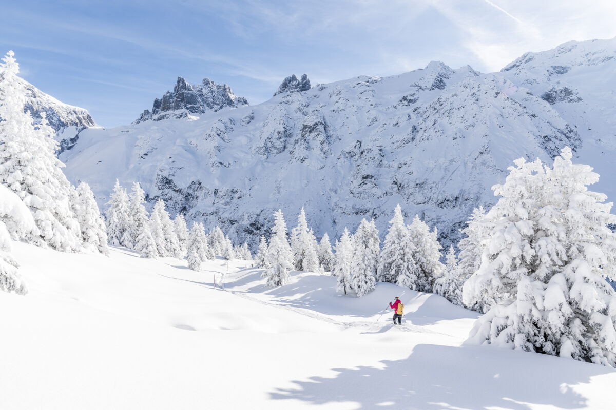
The Grotzli Trail on the Fürenalp near Engelberg is one of my absolute favorite tours. We undertook this snowshoe hike on an absolute picture-book winter day and could hardly get enough of the almost meter-high, feather-light powder snow and the deeply snow-covered fir trees. In addition, there is the impressive backdrop that the Fürenalp offers you to the distinctively angular “Spannörter” and the Titlis. A dream! At just three kilometers, it’s one of the easier tours on this list.
| Starting point | Mountain station of the Fürenalp cable car (1,845 m above sea level) |
| Reachability | accessible by public transport |
| Length | 3 kilometers |
| Elevation gain | ↗ 190 m 190 m ↘ |
| Duration | 1:00 – 2.00 h |
| Destination | Mountain station of the Fürenalp cable car |
| Catering | Mountain restaurant Fürenalp |
Jänzi-Trail
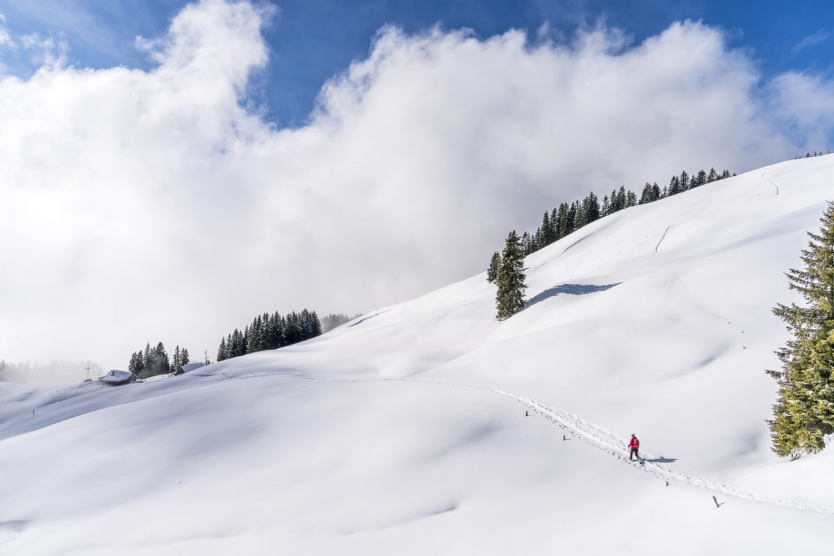
Glaubenberg-Langis is considered an Eldorado for cross-country skiers. The area at the pass crossing from the canton of Obwalden to Entlebuch in Lucerne also scores with an extensive network of winter hiking trails and a really cool snowshoe trail. The Jänzi Trail takes you a crisp 12 kilometres through the moorland slumbering under a white blanket. The highlight of the tour? The 360-degree panoramic view from Jänzi.
| Starting point | Langis (1,422 m above sea level) |
| Reachability | accessible by public transport |
| Length | 12.4 kilometres |
| Elevation gain | ↗ 578 m 578 m ↘ |
| Duration | 3:45 – 4.30 p.m. |
| Destination | Langis (1,422 m above sea level) |
| Catering | Berghotel Langis |
You can find even more snowshoe tips on my blog in this category: Snowshoeing
Do you also like to go snowshoeing in the mountains? And if so, do you have a favorite trail? I’m looking forward to your tips in the comments section!
Leave a Reply