

Snowshoeing near Sattel-Hochstuckli: Biberegg-Herrenboden Trail
60 cm of fresh snow – an amount that makes the eyes of winter fans light up. But it is also a mass that has an impact on the avalanche danger. And even if we don’t go snowshoeing on steep slopes off signposted routes, tour planning must be approached particularly carefully in this snow condition. For such a bombastic day of fresh snow, we have chosen the Biberegg-Herrenboden Trail in the Sattel-Hochstuckli region. A challenging circular hike, which neither requires a gondola ride nor leads over exposed slopes, but leads you on idyllic forest paths through an unparalleled winter wonderland.
Beautiful winter excursion destination not far from Zurich
The starting point of this officially signposted snowshoe hike is the sleepy hamlet of Biberegg near Rothenturm. From the train station, it takes a short walk of just under 10 minutes to get to the starting point of the snowshoe hike. On the way, some people might notice the pretty little chapel that stands in the center of the hamlet. The listed Loreto Chapel is the most famous sight of Biberegg and an important pilgrimage church.
As soon as we have passed the hamlet, we are already at the starting point of the snowshoe tour. This starts behind the Beaver Creek restaurant, follows a short section of the ski slope (yes, there is also a T-bar lift in Biberegg), then crosses the Steiner Aa on a picturesque bridge, dives into a short stretch of forest and “spits out” you on the other side in an untouched winter landscape.
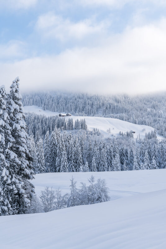
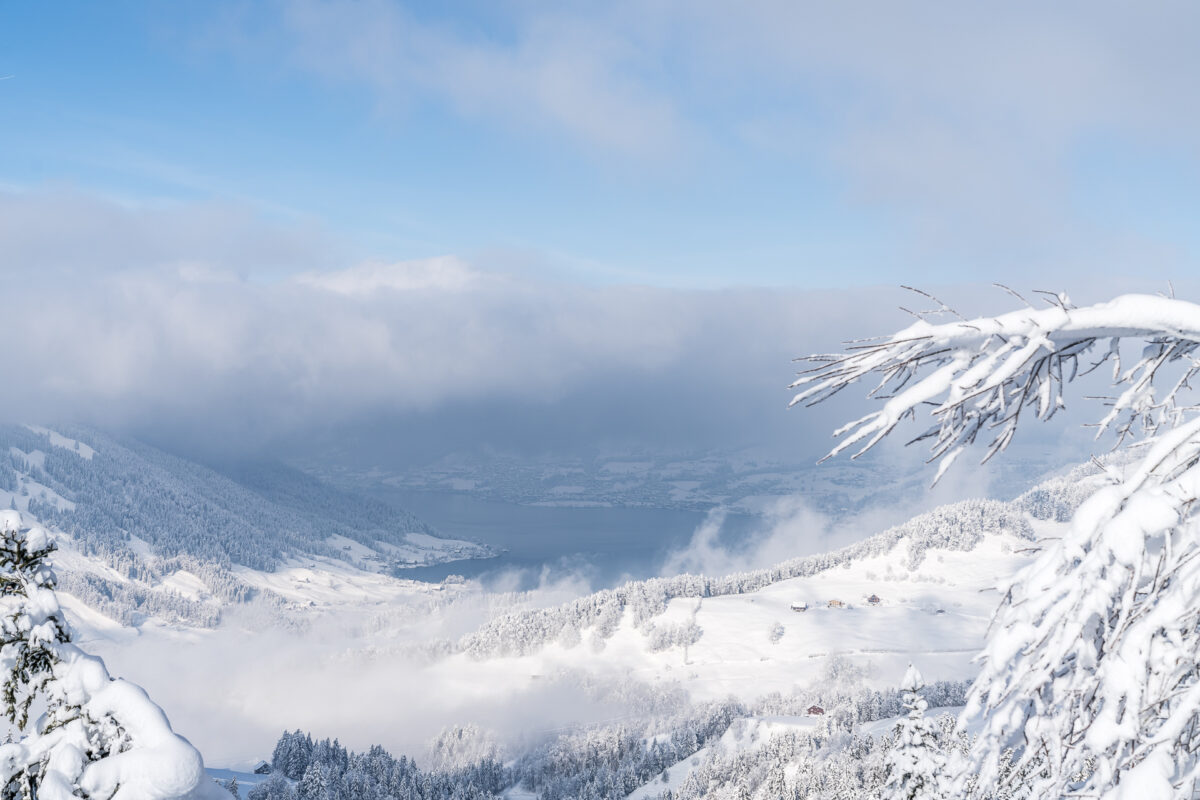
Through a winter wonderland to the Banegg
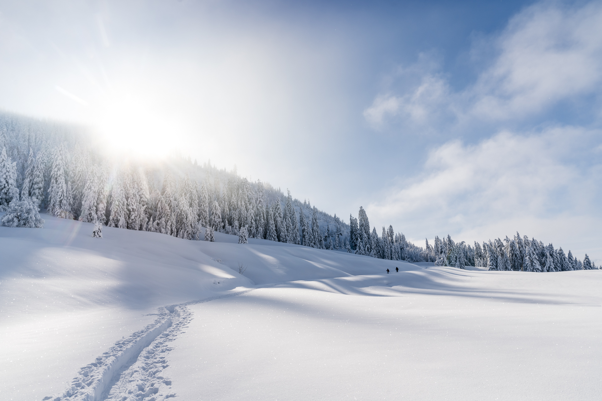
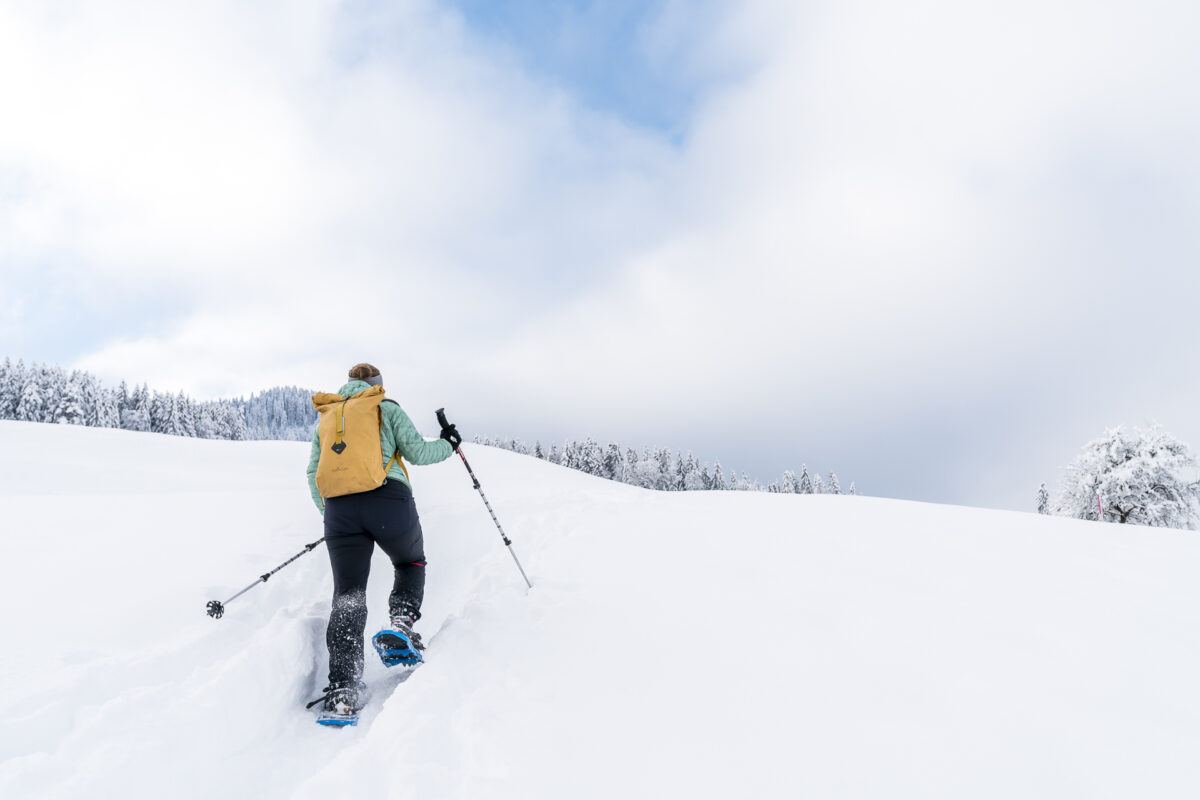
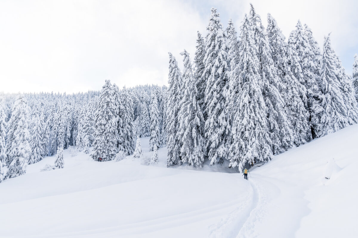
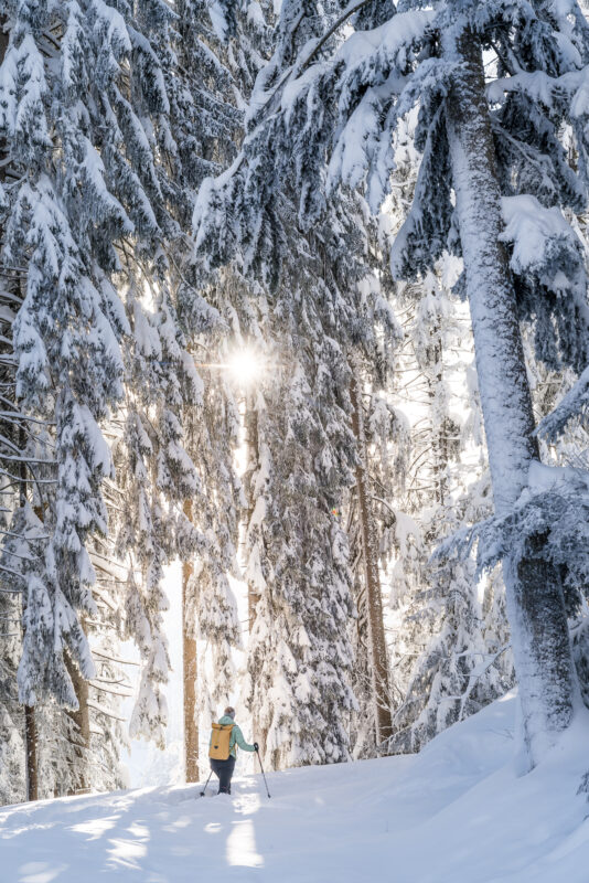
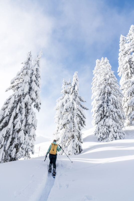
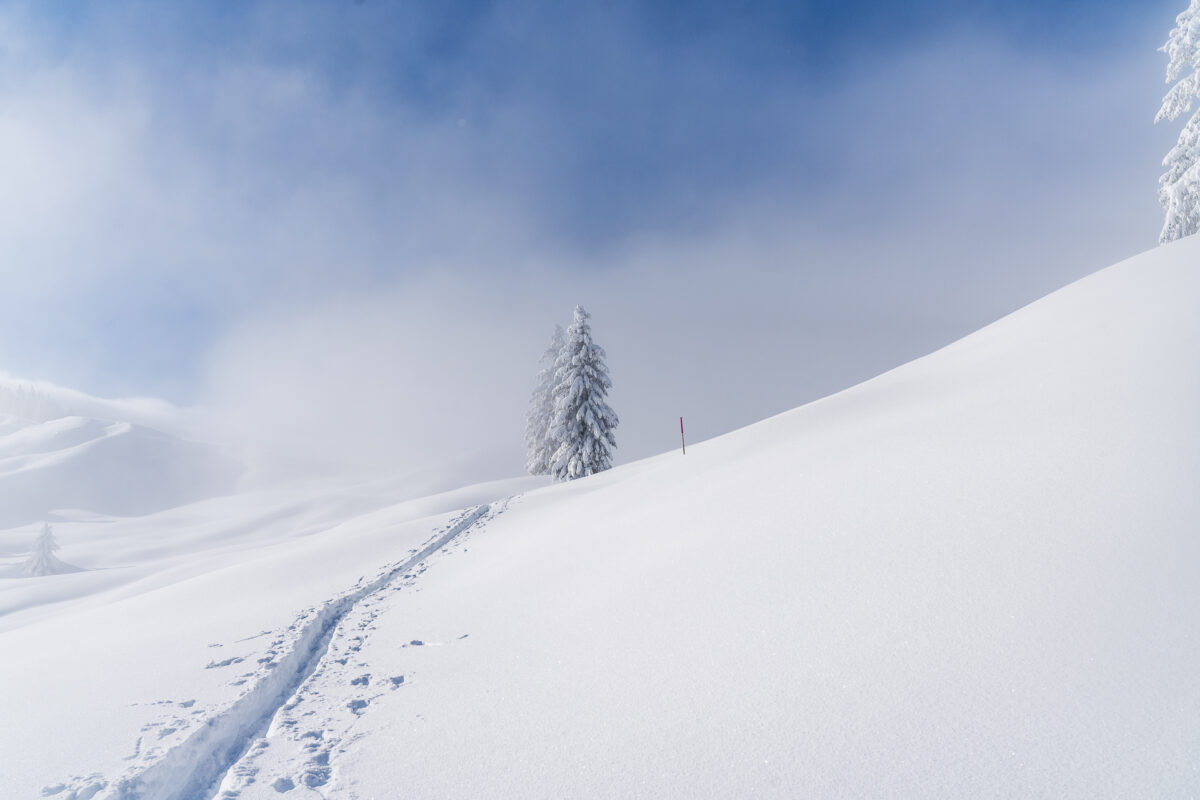
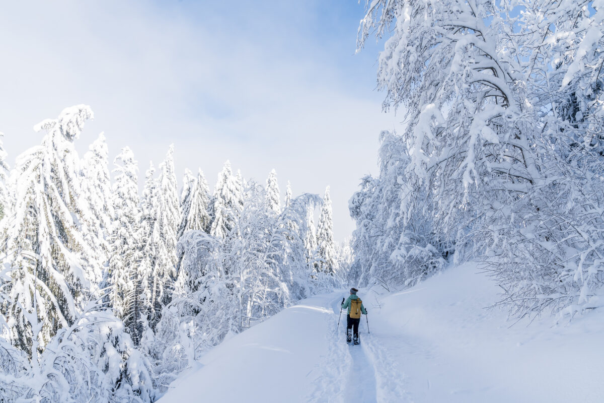
Although we are on the road early, ski tourers have already prepared the way towards Mäderen. “Luckily,” is my conclusion that day. Anyone who has ever had the chance to make a fresh track through the 60 cm deep fresh snow with snowshoes knows how strenuous this is. On a short snowshoe tour, this may increase the fun factor. But with today’s 11-kilometer circular hike, this would have been really tough. For us, the first thing we do now is to go from the starting point at almost 950 meters above sea level a good 500 meters uphill to the Banegg at 1,450 meters above sea level.
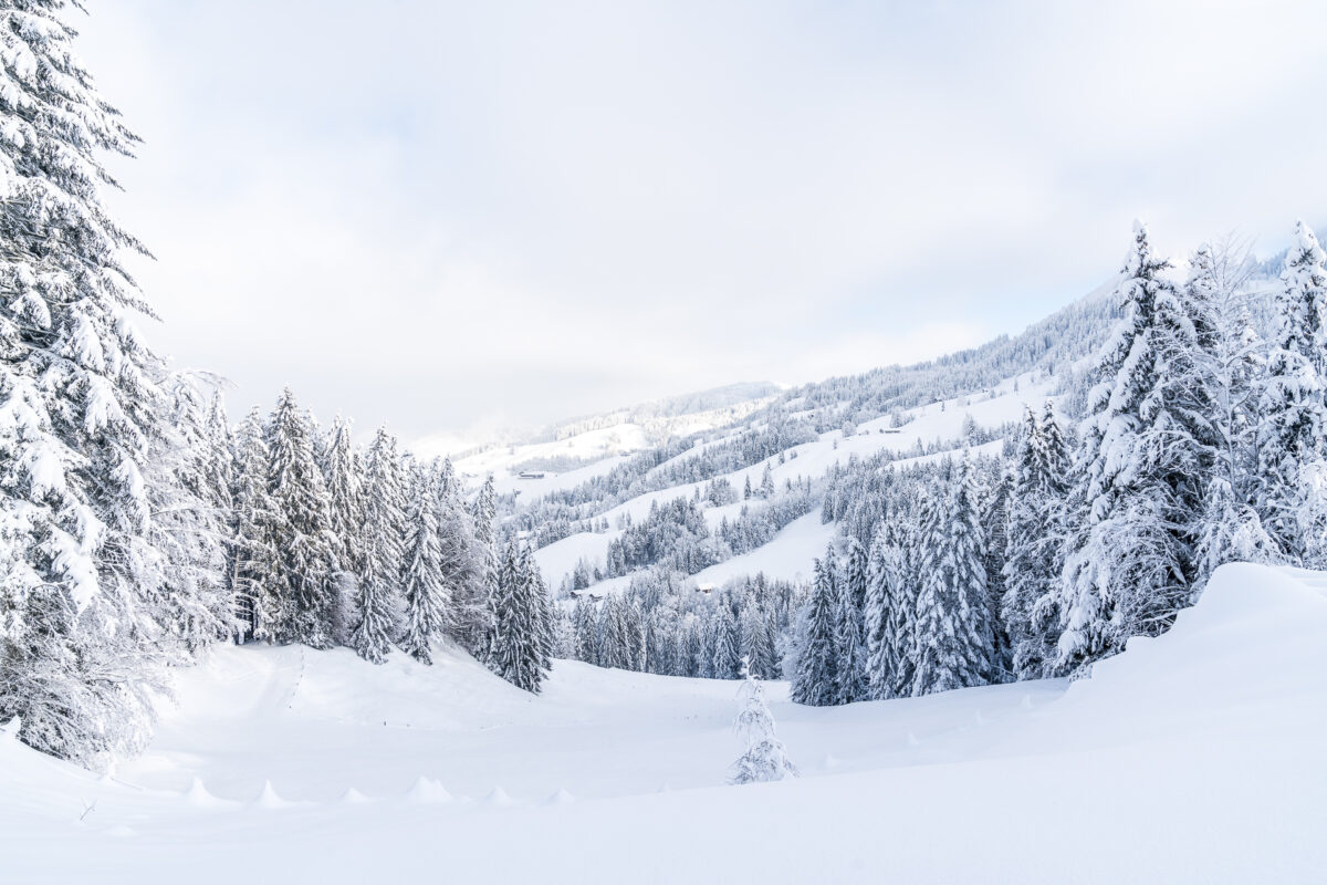
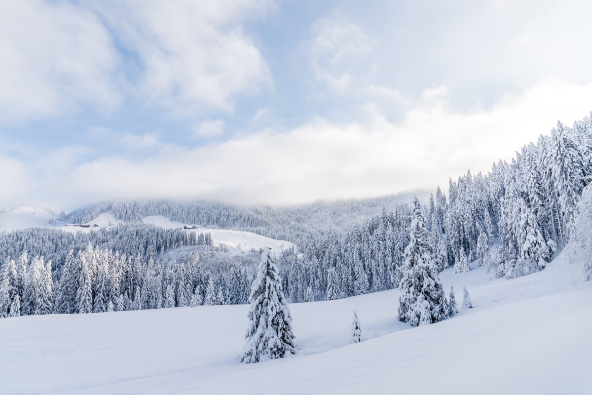
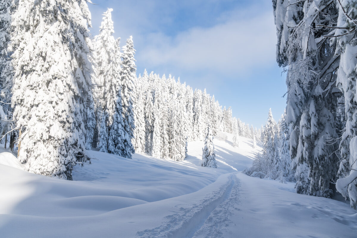
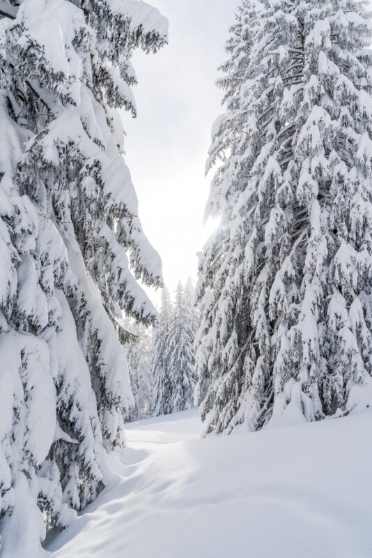
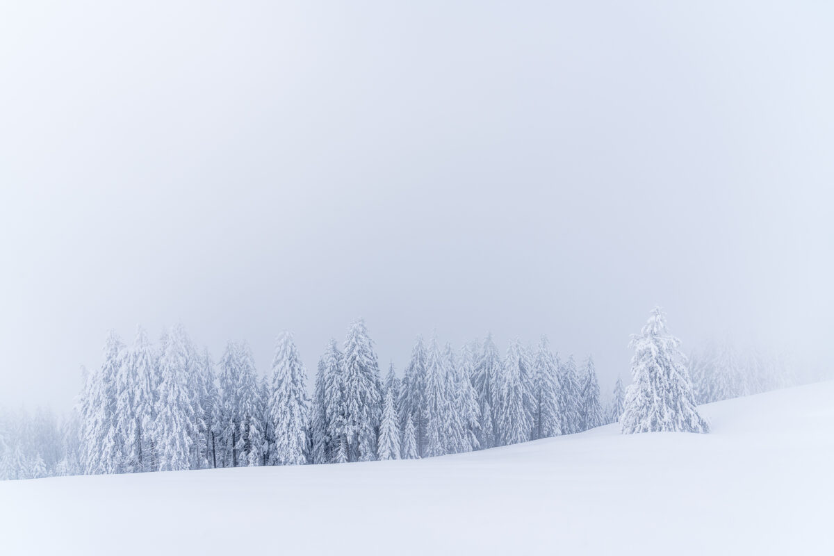
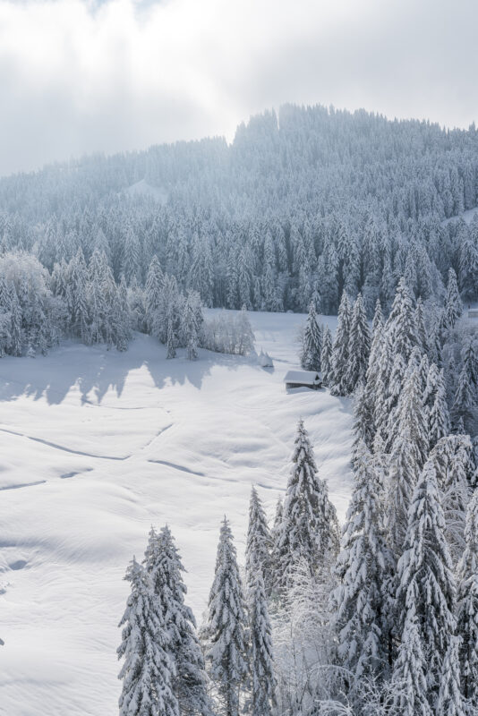
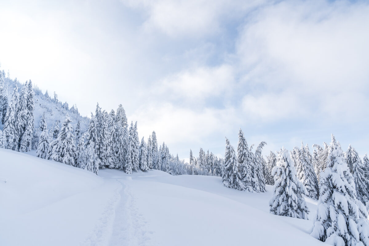
The Biberegg-Herrenboden Trail is signposted as a circular hike from Mäderen onwards. Due to the topography, it is recommended to tackle the tour clockwise. Of course, it would also be possible to first complete the more leisurely part via Vordermäderen to Mostelberg – but here you have to be prepared for a nasty ascent from Herrenboden towards Spilmettlen. As recommended, we now follow the well-signposted trail through the Mäderenwald. Sometimes we are surrounded by snow-covered fir trees and almost feel a bit like we are out and about in Lapland. Sometimes the view opens up to the moorland covered with fir forests, which on this day looks like a direct image from a winter brochure.
Toughest part of the way done – and on we go
The landscape below the summit cross of the Banegg is particularly magical. But the sun can’t quite assert itself and at the highest point we are shrouded in fog again. On the other hand, we were able to enjoy the winter panorama during the ascent. The tracks of ski tourers end on the Banegg. Now we have no choice but to make our own way from one post to the next.
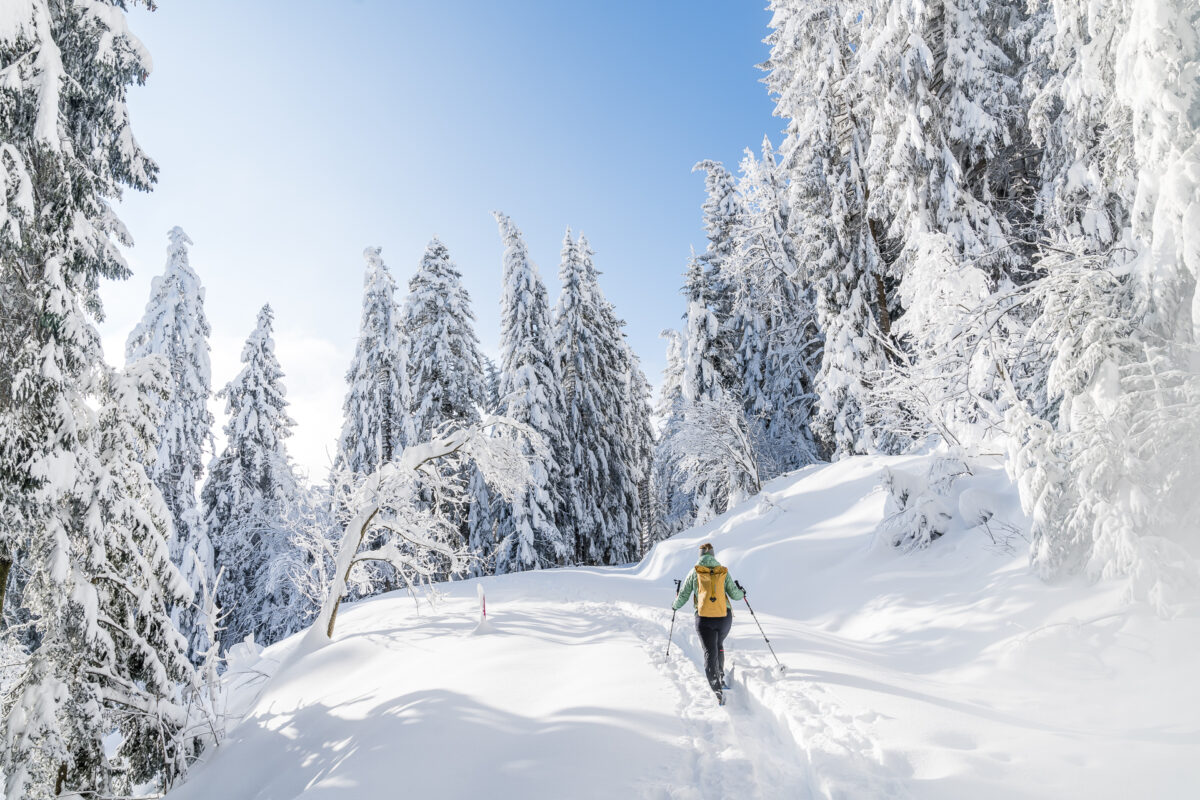
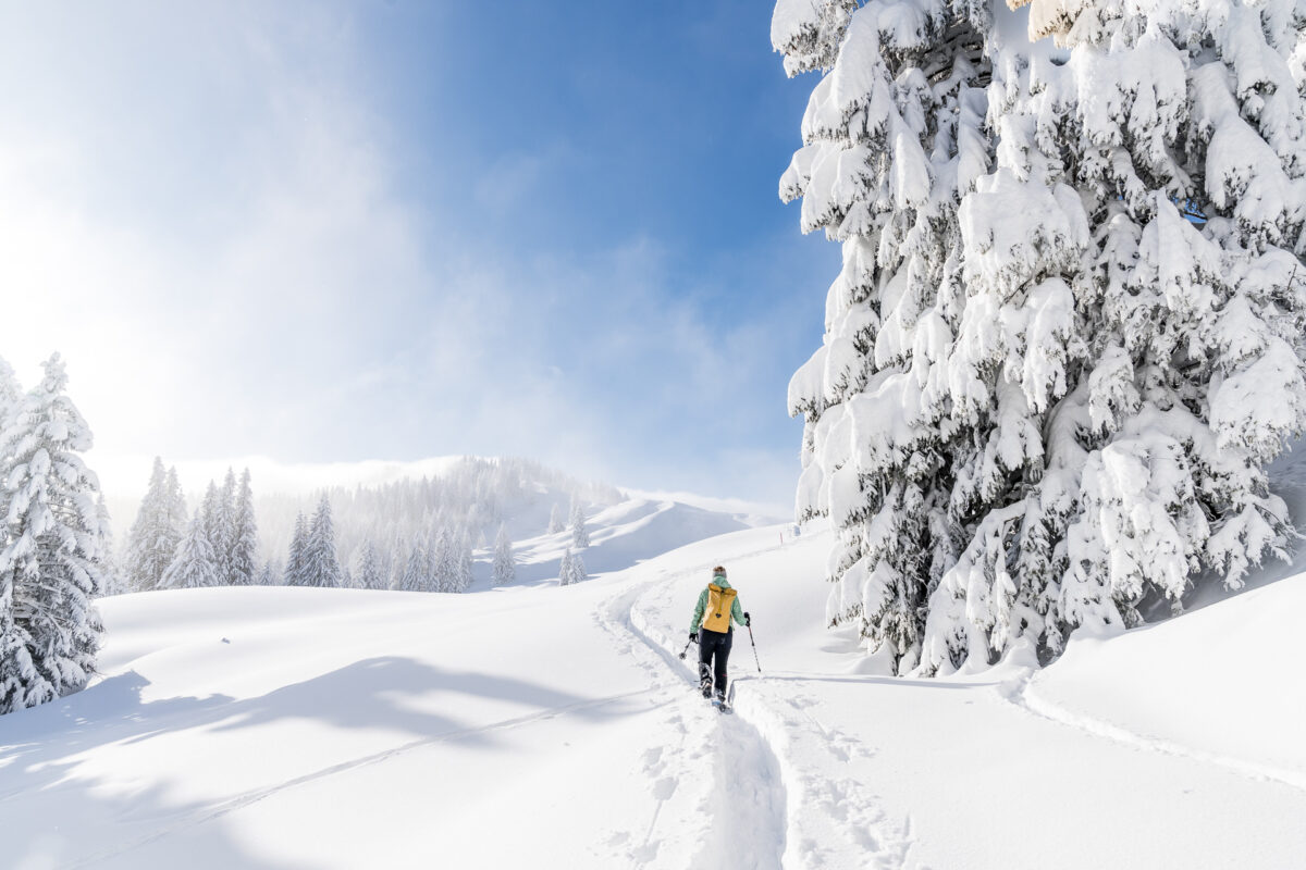
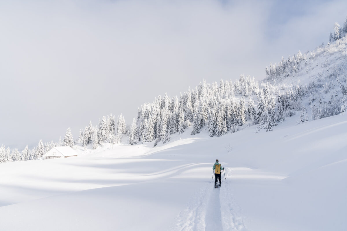
Fortunately, the first ski tourers come towards us at Spilmettlen, who have climbed from Herrenboden following the snowshoe trail. From now on we make faster progress again and at the same time we are amazed that there are some ski tourers in the area of snowshoe trails here. However, I cannot judge whether this is due to the current situation as well as the snow conditions, or whether a popular ski touring route generally takes place here.
While they now cross us panting, we have already mastered the most strenuous part and can enjoy walking down the valley towards Herrenboden in the Sattel-Hochstuckli ski area.
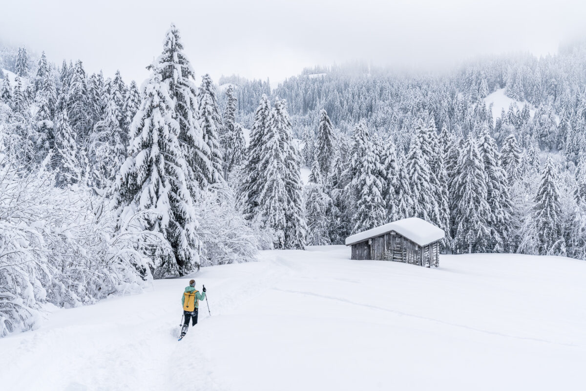
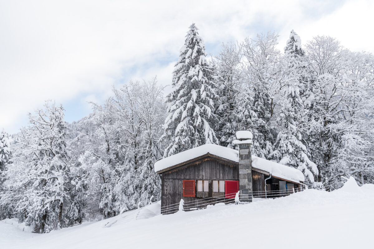
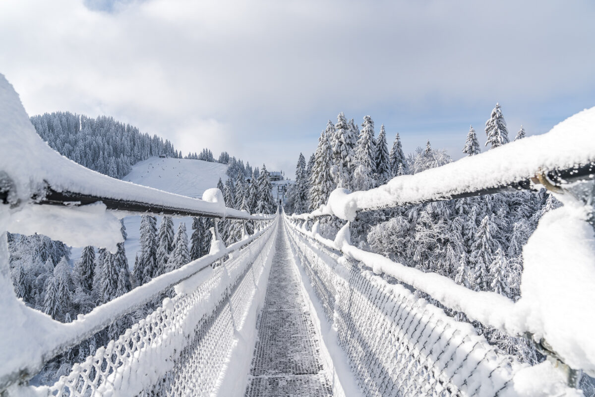
At the Herrenboden mountain inn, the signpost leads us back towards Biberegg. Following a wide winter hiking trail, we reach one of the main attractions of Sattel-Hochstuckli. At least for those of us who are not afraid of heights, the 374 m long “Skywalk” offers impressive views down into the Lauitobel.
The pedestrian suspension bridge is also accessible in winter during the opening hours of the gondola. Currently, it is signalized in a one-way mode (walking direction from the gondola station in the direction of Mostelberg) and masks are mandatory. If you want to combine the snowshoe tour with a walk over the suspension bridge, you have to follow the winter hiking trail towards the Mostelberg mountain station (and don’t branch off directly at the first signpost in the direction of Biberegg).
Past the suspension bridge and back to Biberegg
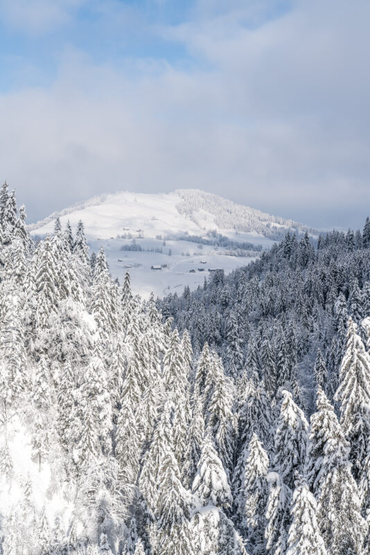
From the suspension bridge back to Biberegg, the route continues along a beautiful forest path, which climbs slightly again in the first section to Vordermäderen. Here, too, it is worth stopping here and there to admire the panorama from the side of the path. On this side, the view stretches from the Rigi over the Wildspitz to Lake Ägeri.
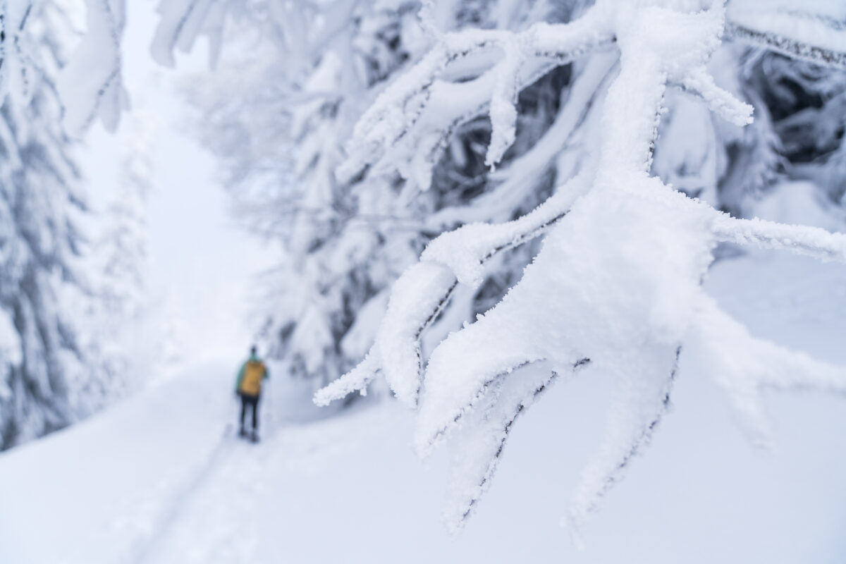
After almost four hours we are back at the starting point of the circular hike. Now we follow the already familiar path back to Biberegg. In the meantime, some additional snowshoe tracks have been added here – not surprising on such a magnificent day. A round trip that requires a lot of stamina, especially on fresh snow days, but also inspired us with its varied route away from the hustle and bustle of skiing.
Practical tips for the Biberegg-Herrenboden snowshoe trail
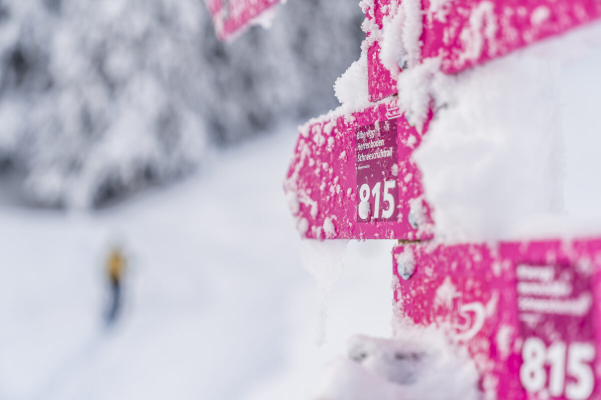
You can see our route on the map below. The Biberegg-Herrenboden Trail is marked with pink posts and signposted with the route number “815”. When preparing for a tour, it is worth taking a look at the info box stored at SwitzerlandMobility. There it is noted whether the respective trails are open or closed.
With a length of 11 kilometres and 660 metres in altitude, the entire route is physically demanding (especially in fresh snow) and therefore not suitable for beginners. Alternatively, you can of course only walk the Biberegg-Herrenboden section and take the gondola lift from the Staffel-Mostelberg mountain station to the Staffel-Aegeri railway station. In Biberegg there are regular connections in the direction of Arth-Goldau and in the direction of Biberbrugg/Wädenswil (attention: stop on request!).
Switzerland Mobil gives a guideline time of 5:30 h for the Arnisee Trail. It took us a good 4 hours for the full loop.
Key data of the round trip
| Starting point | Biberegg, Restaurant Beaver Creek (950 m ü. M.) |
| Reachability | Accessible by public transport (Biberegg train station, stop on request) |
| Length | 11 kilometers |
| Elevation gain | ↗ 660 m 660 m ↘ |
| Duration | 4:30 – 5.30 a.m. |
| Destination | Biberegg, Restaurant Beaver Creek |
| Catering | Restaurant Beaver Creek and Berggasthaus Herrenboden (both with takeaway option) |
If this tour seems too strenuous for you, I can recommend the Arnisee Trail or the Waldhüttli Trail in Stoos as easier, but no less attractive alternatives in Central Switzerland


Leave a Reply