

Braunwald – Oberblegisee Hike: Fall Highlight in Glarnerland
When the forests above Braunwald turn warm shades of yellow and red, the hike to Oberblegisee is especially rewarding. The Braunwald–Oberblegisee trail runs as a scenic ridge trail over gentle alpine meadows and through autumn-glowing forests, until the lake appears in the midst of the mountain landscape and reflects the brilliant colors of the surroundings. A varied tour that’s not overly demanding in terms of fitness, with the option to adjust the distance and technical difficulty to suit your preferences.
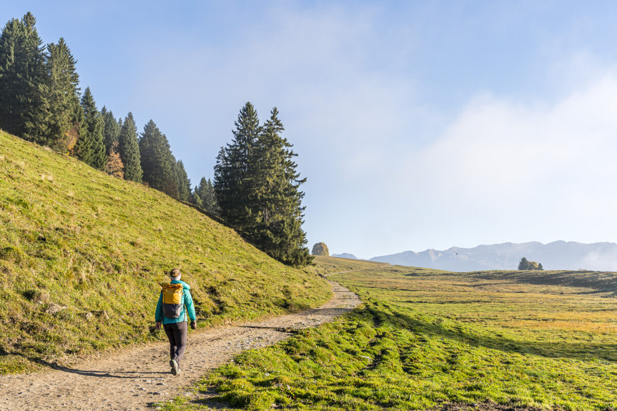
Hiking Start in Braunwald
I’ve known since the two absolutely recommended loop hikes near Ennenda and Niederurnen that Glarnerland is an ideal destination for spontaneous hiking trips in fall. This time we stay on the Glarner Express train all the way to the final station and switch to the Braunwald train, which brings us to the car-free resort in just a few minutes. From here, we finally want to take a look at the family-friendly Braunwald–Oberblegisee trail.
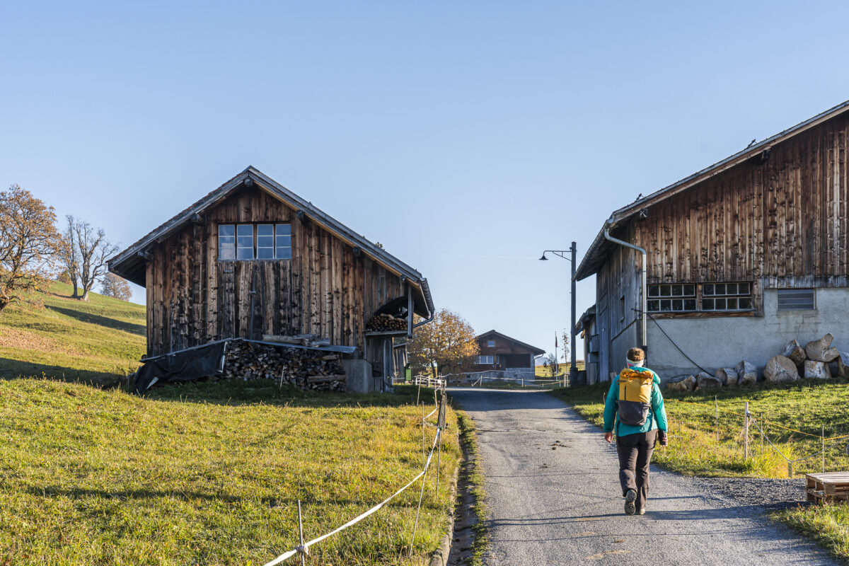
The hiking trail, marked with route number 810, leads from Grotzenbüel to the beautifully situated Oberblegisee. However, instead of taking the cable car all the way up to Grotzenbüel, you can also start the tour directly at the mountain station of the Braunwald train and ascend in about 30 minutes through the elongated village center toward the Oberblegisee trail—ideal for anyone like us who wants to set out early in the morning before the crowds.
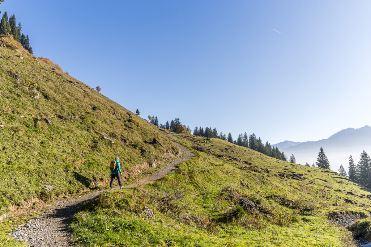
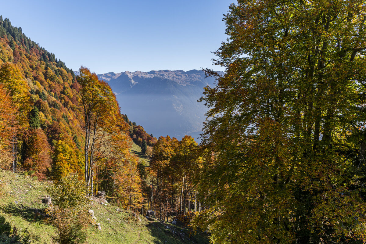
Scenic Stretch to Alp Bösbächi
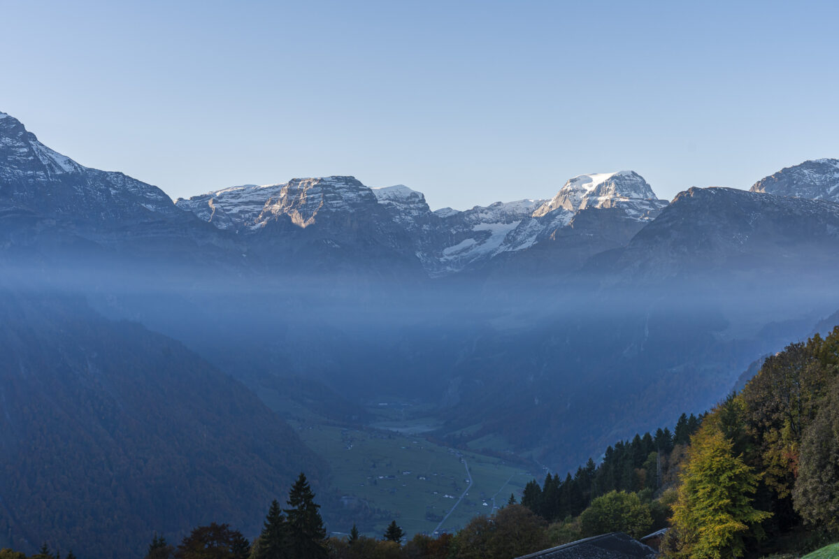
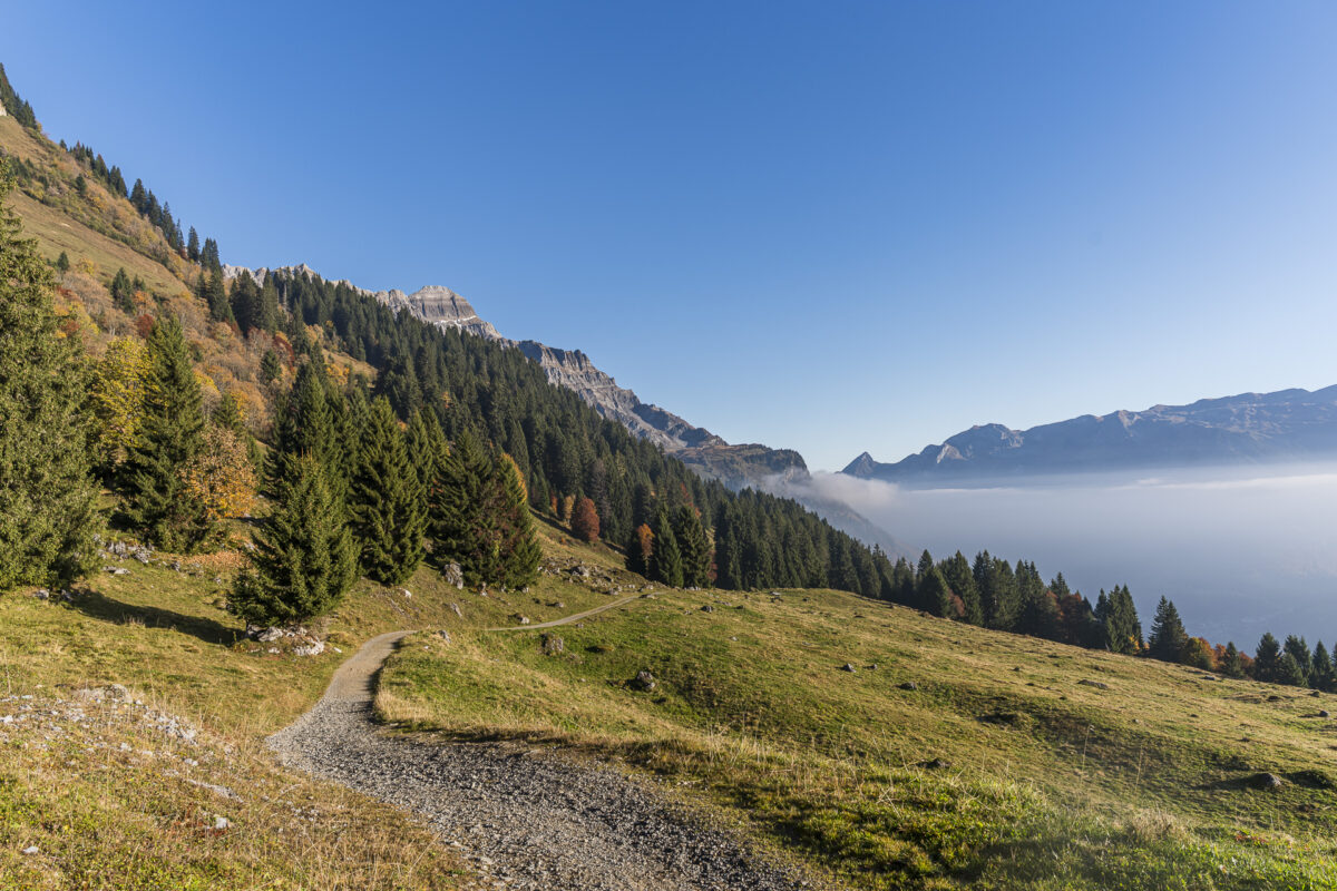
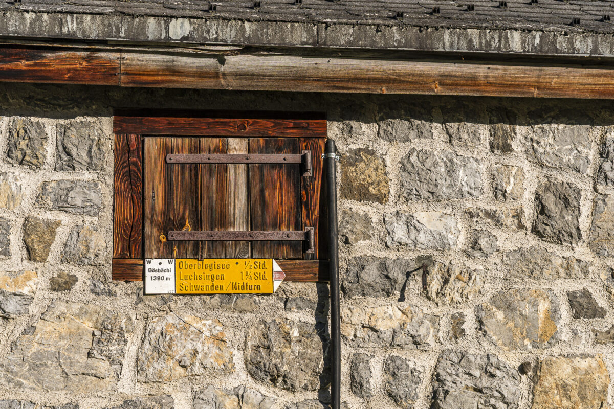
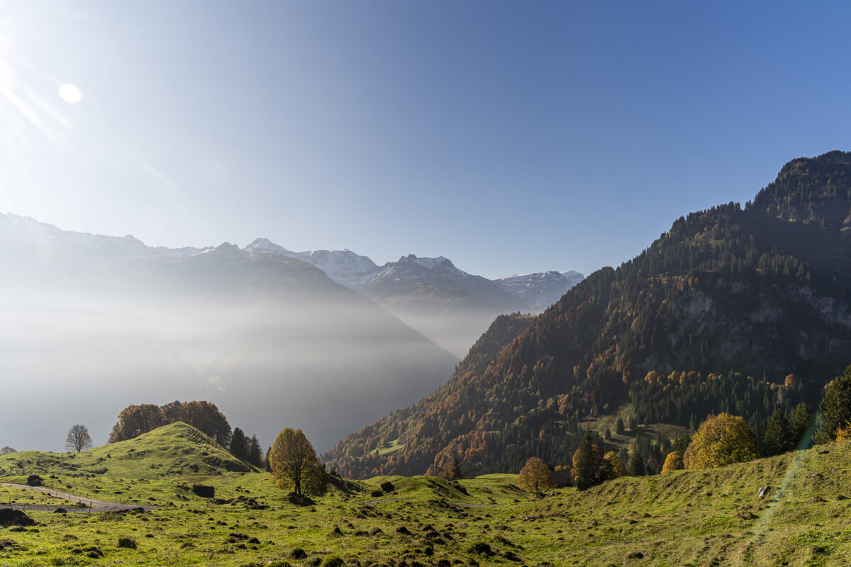
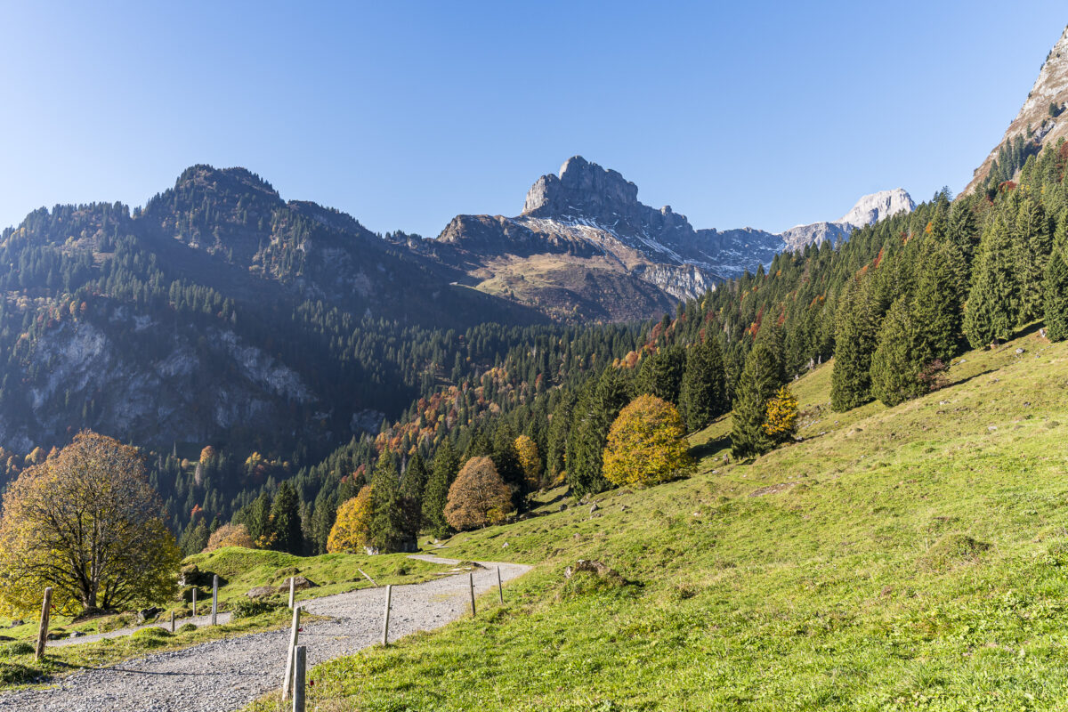
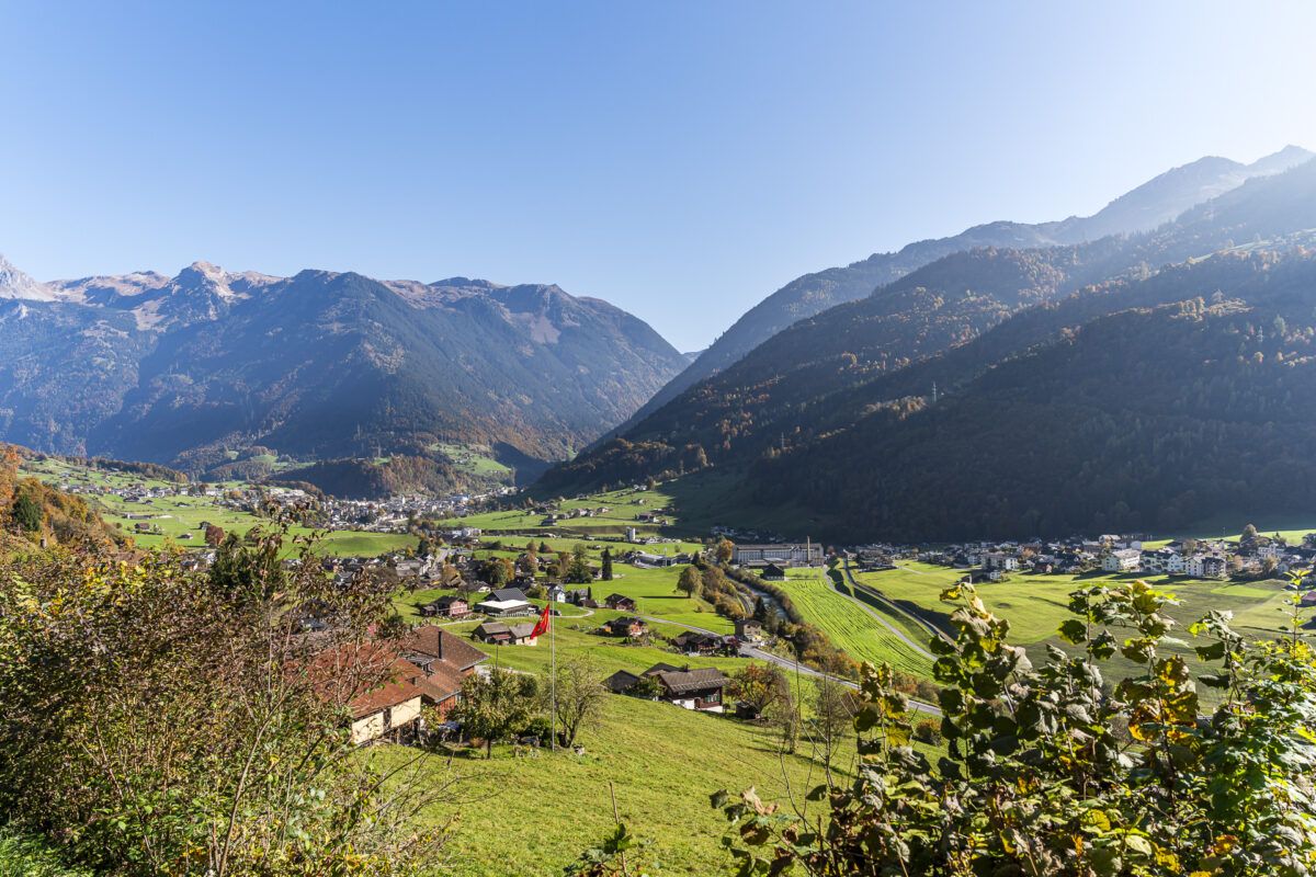
Said and done. To my surprise, the roughly two kilometers on the asphalt road are more interesting than expected. This is surely due to the warm fall light and the riot of colors all around. Just before the hamlet of Unter Stafel, a signpost branches off onto a wide gravel trail. It leads over open alpine meadows and offers wide views into the Linthal. The following section is varied, with gentle ups and downs through light forests and across meadows. At Bösbächi you reach the lowest point before the trail climbs up to the Bächibeizli.
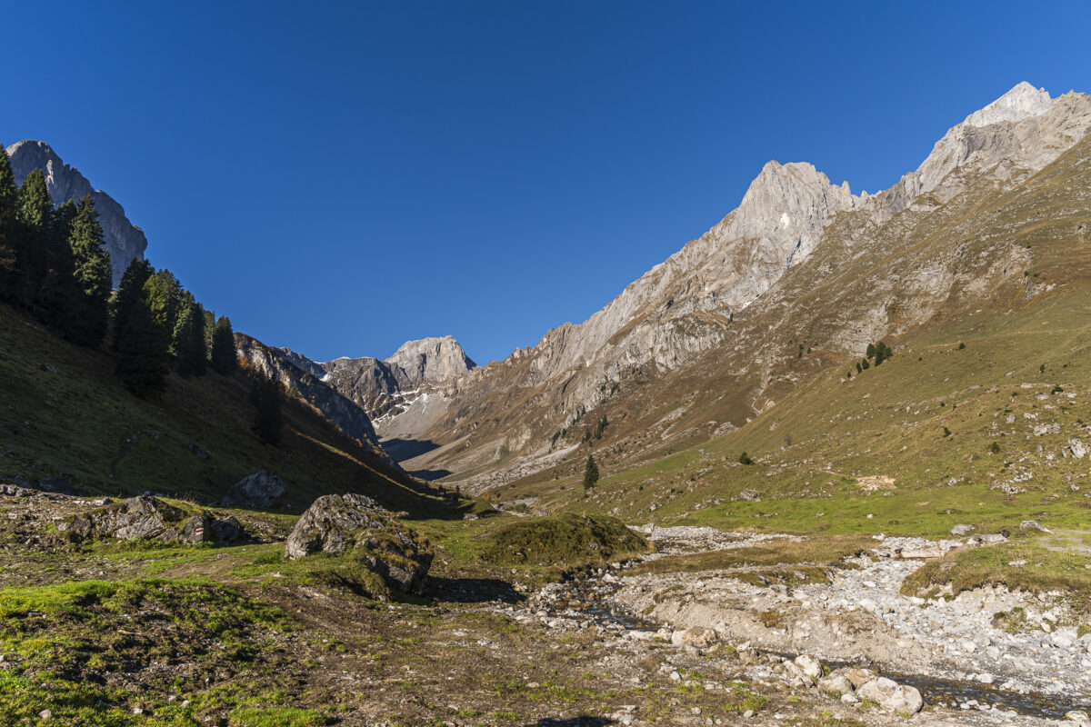
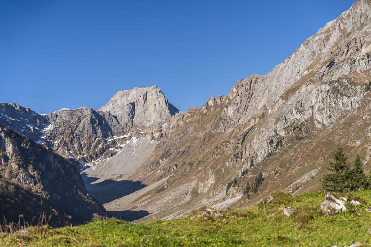
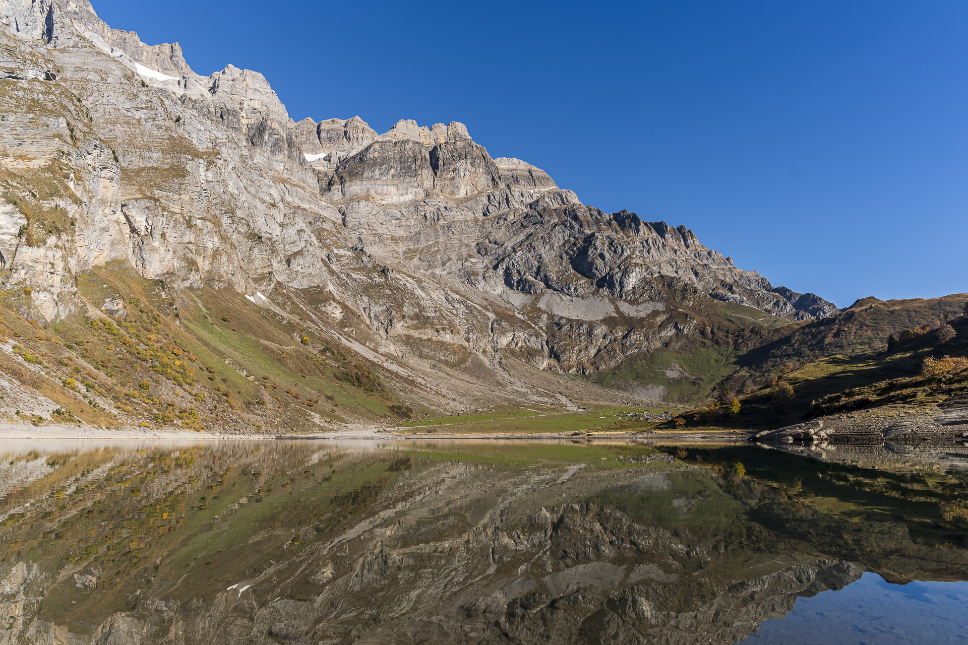
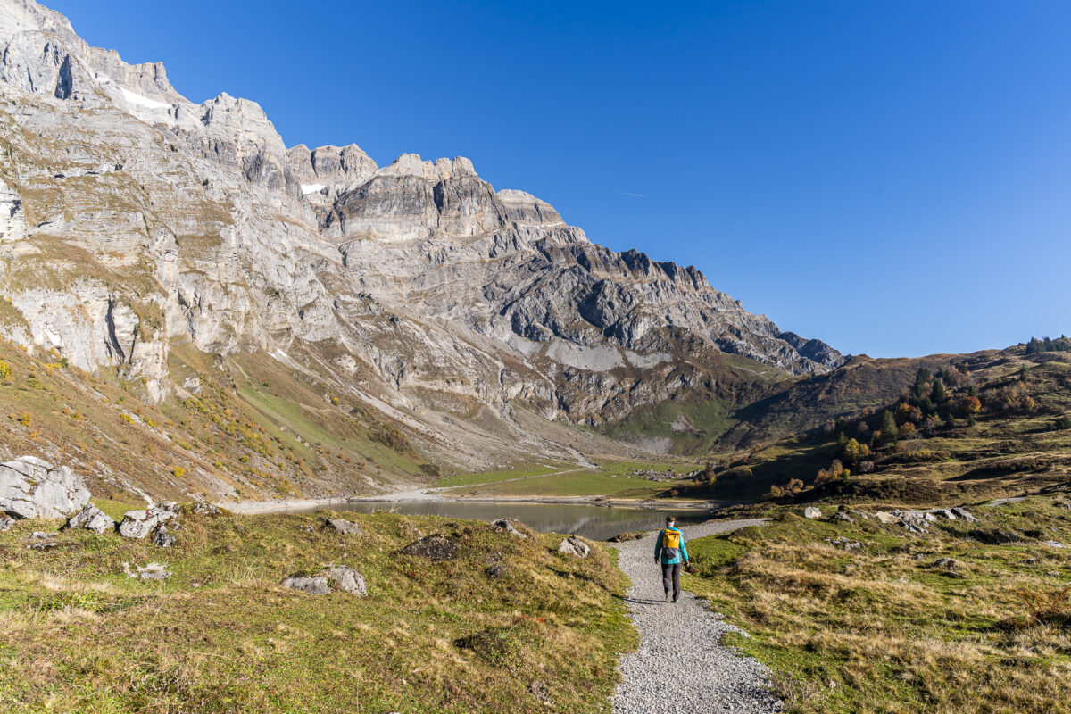
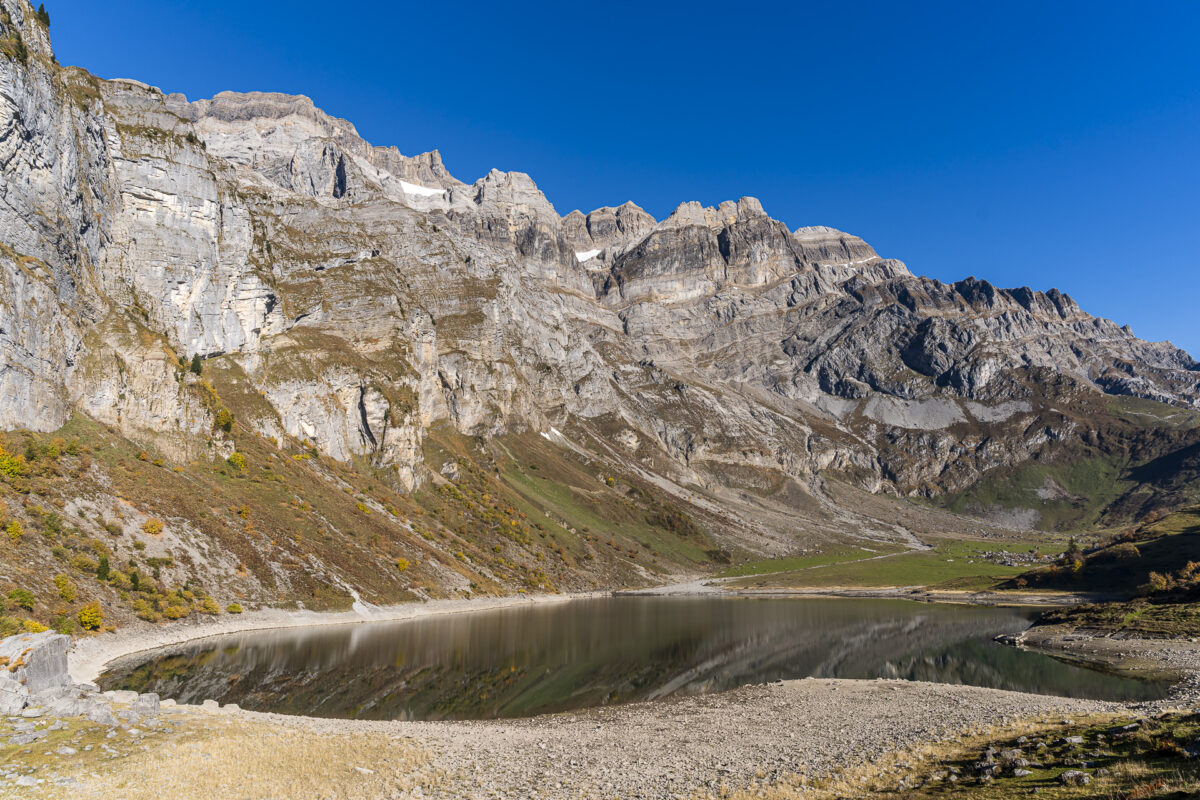
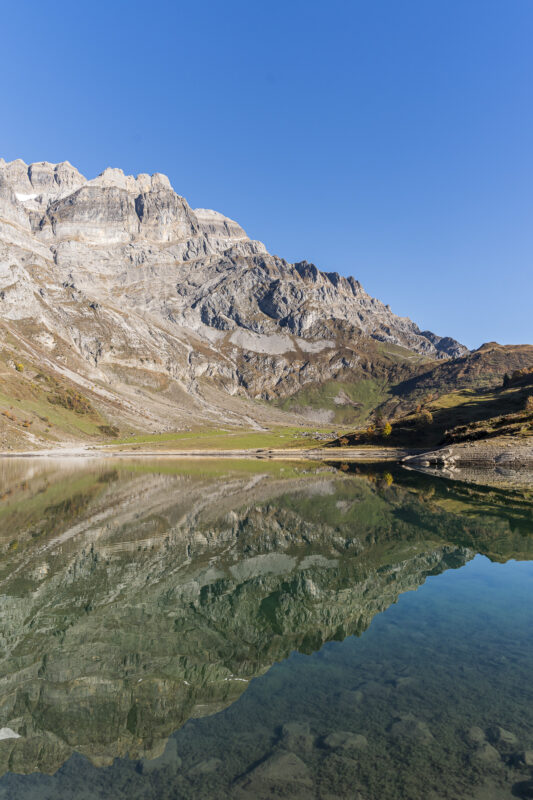
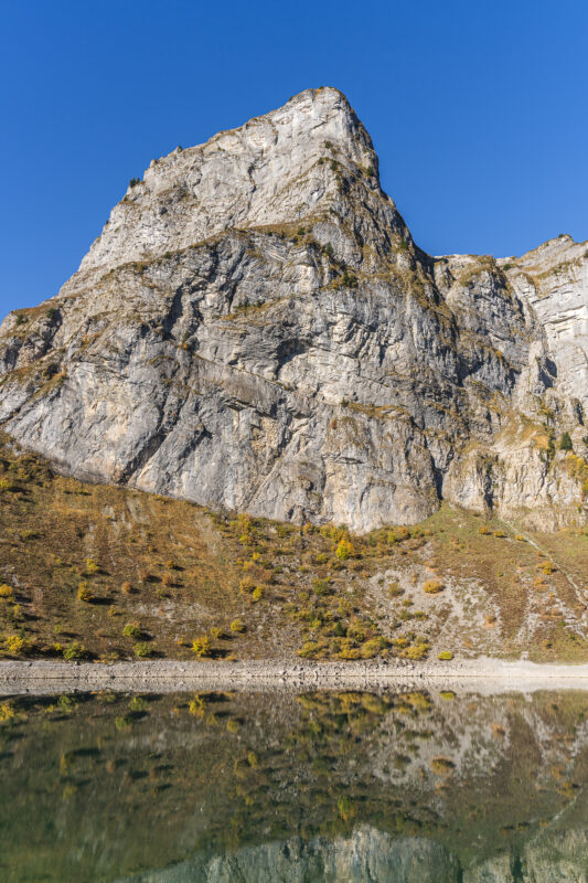
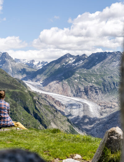
Lake in Sight: Oberblegisee Appears
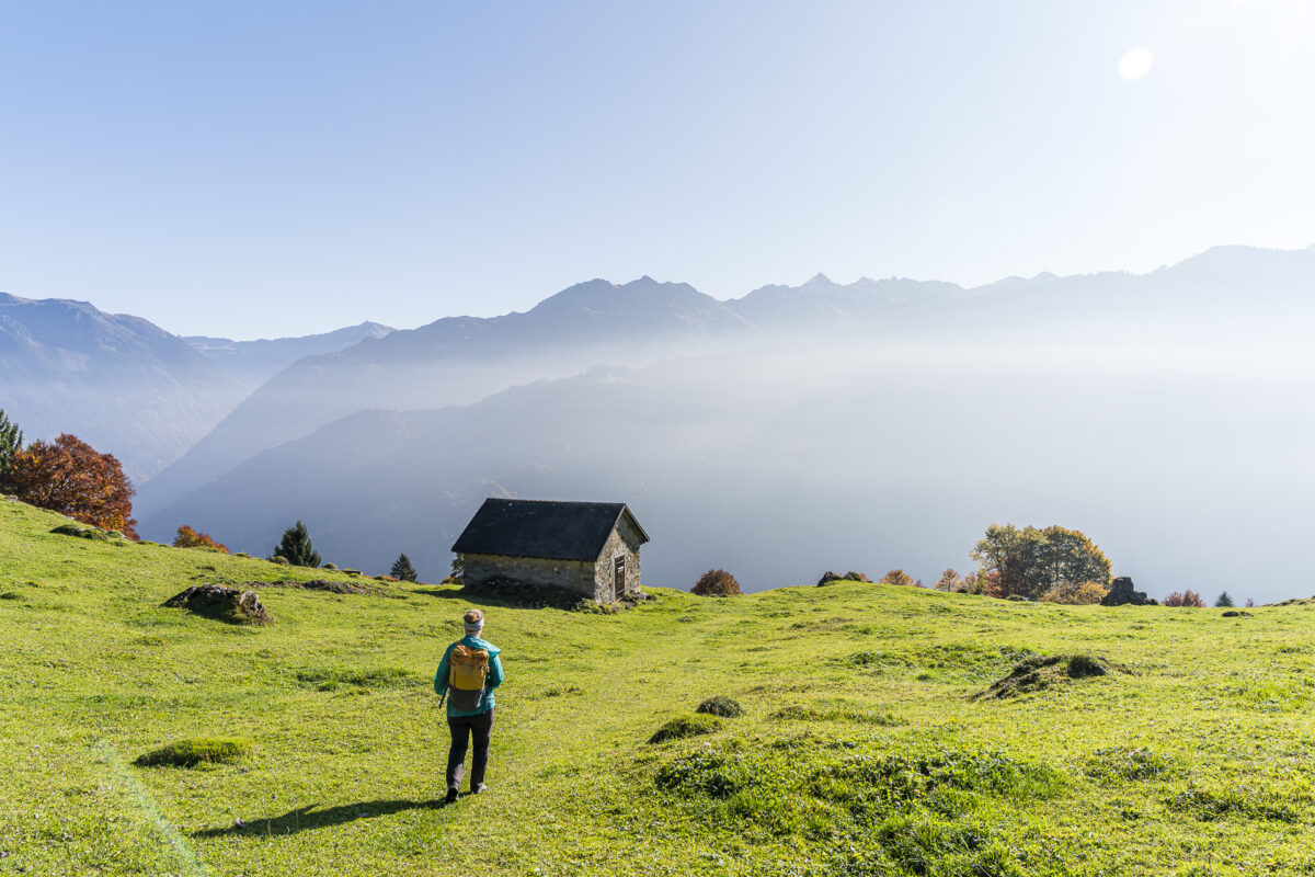
According to the trail marker, we should reach Oberblegisee soon. In fact, the mountain lake appears just thirty minutes later. In summer, Oberblegisee is a popular swimming destination—picnic areas and sunny meadows invite you to linger around the shore. Now in fall, it’s noticeably quieter, which is exactly what makes this place special for us.
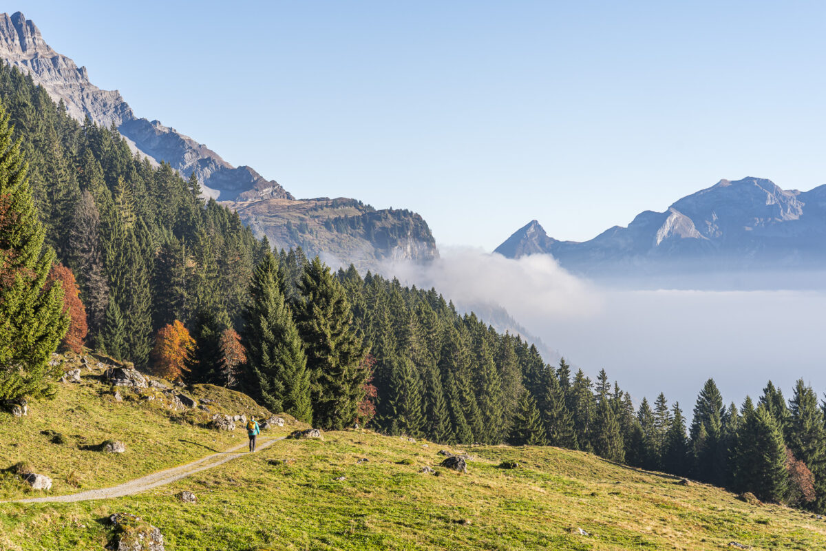
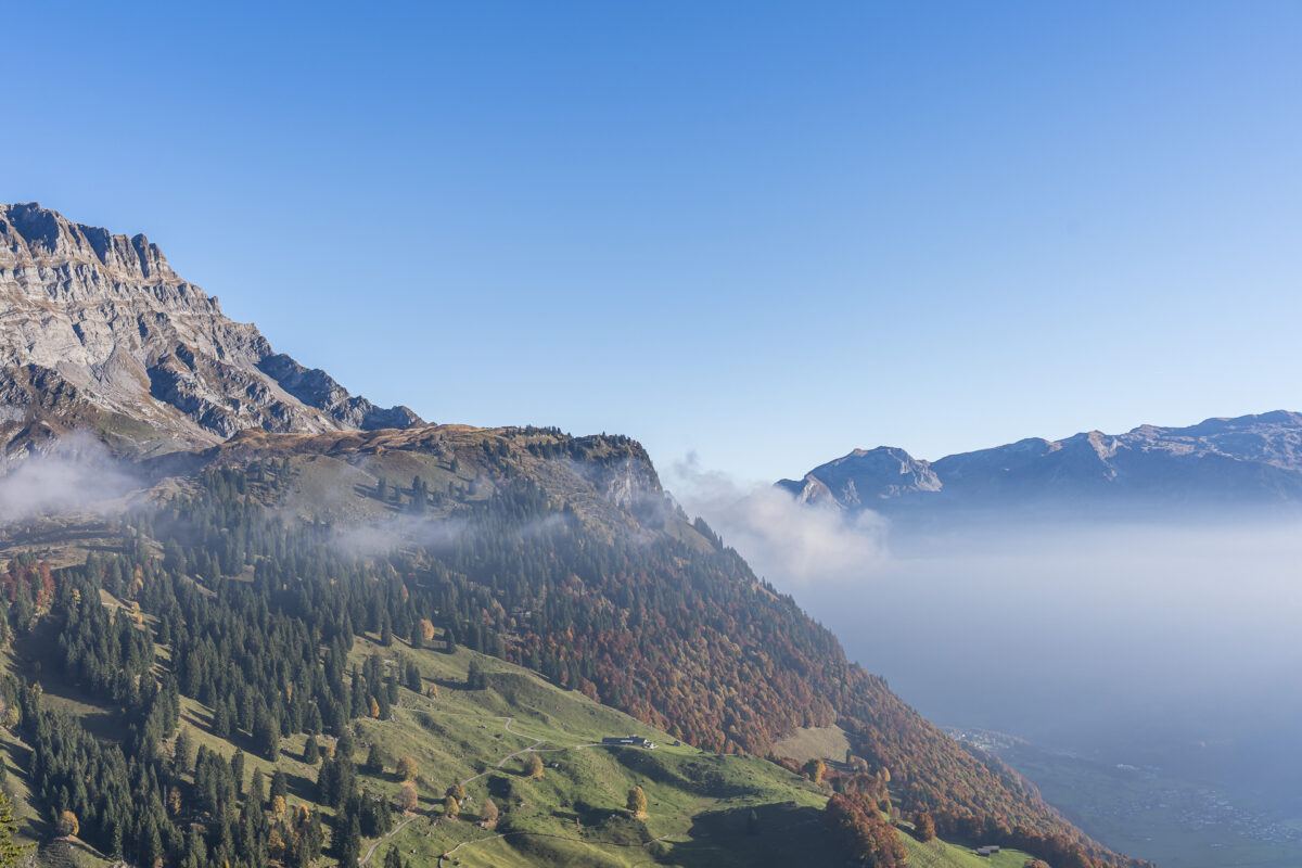
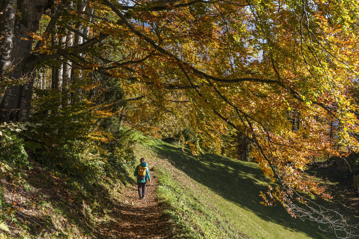
Through Light Forests Down to Nidfurn
After a brief rest, we start the descent. Originally we wanted to follow the Oberblegisee trail all the way to the mountain station of the Luchsingen–Brunnenberg aerial tramway. However, since there’s only hourly direct train service from the valley toward Zurich and we would just miss it, we spontaneously decide to extend the hike.
The trail leads through a magnificently colored deciduous mixed forest down to Nidfurn, where we aim for the next train. Anyone expecting wide, comfortable gravel trails will be quickly proven wrong: the descent runs steeply in places over rocky forest paths interspersed with roots, requiring extra care in the autumn leaves. Nevertheless, this extension is worthwhile—for anyone who prefers a bit more sport and is rewarded with beautiful views of the Linthal.
Details for the Braunwald – Oberblegisee – Nidfurn Hike
The following hiking map shows the route from Braunwald to Oberblegisee and continuing to Nidfurn. The first two kilometers lead on an asphalt road through the residential area of Braunwald. Then the trail follows the marked, yellow-marked Braunwald–Oberblegisee trail (T1/T2).
The descent to Nidfurn is shown on the map as a hiking trail (yellow), but on site is marked as a white-red-white mountain hiking trail (T2/T3) and is quite steep in places. Good hiking boots and hiking poles (depending on preference) are recommended. For a more leisurely pace, you can also follow the wide gravel trail from Oberblegi Unterstafel to the mountain station of the Luchsingen–Brunnenberg aerial tramway.
| Starting Point | Braunwald Mountain Station Funicular (4,125 ft elevation) |
| Accessibility | Reachable by public transportation |
| Distance | 7.3 miles |
| Elevation Gain/Loss | ↗ 1,352 ft ↘ 3,694 ft |
| Duration | 3 hours 30 minutes |
| Destination | Nidfurn-Haslen Train Station (1,772 ft elevation) |
| Food & Drink Option | Bächibeizli (open daily through November 2) |
Practical Tips for Your Hike from Braunwald to Oberblegisee
- Best Season: The hike described in this article is typically doable from mid-May through end of October.
- Getting There by Public Transportation: Zurich Main Station → Linthal: S25 hourly direct connection, travel time 1 hour 33 minutes. At Linthal train station, switch to the Braunwald train (funicular Linthal ↔ Braunwald). The GA is included here. With a half-price ticket, a single trip for adults costs 3.80 CHF.
- For the hike start at Grotzenbüel, you can also use the Hüttenberg–Grotzenbüel cable car (usually operating in fall 09:00 – 17:00, last uphill trip 16:45). A single trip for adults costs 14 CHF (with GA/half-price ticket 7 CHF).
- From Nidfurn-Haslen train station, you have hourly connections back to Zurich.
- If you want to shorten the hike, you can branch off at Oberblegi Unterstafel toward the mountain station of the Luchsingen–Brunnenberg aerial tramway. The Luchsingen–Brunnenberg aerial tramway operates daily from approximately 08:00 – 18:00, last descent 17:45. A single trip costs 12 CHF. For more information, visit: Luchsingen-Brunnenberg Aerial Tramway
- Food & Drink Options: The rustic Bächibeizli on Alp Bösbächi sits right along the trail and features a sun terrace and regional products. For daily updates, visit: Freude am Berg
Leave a Reply