Cabane du Trient – Fenêtre d’Arpette & Alp Bovine: 3 hikes around Champex-Lac
Do you know that tingling in your stomach when you discover something great and think: This is perfect – exactly what I was looking for! I had such an “it’s a match moment” at the end of June. Admittedly, the discovery was presented to me on a silver platter. Bernd Rosenthal – the new co-owner of the traditional mountain inn Relais d’Arpette, located in the valley of the same name above Champex-Lac – asked me if I would like to take a detour to the “Pays du St-Bernard” at the foot of the Mont Blanc massif. I clicked through the website, looked at the hiking options and thought: So what!
And so we soon packed our hiking backpacks and made our way via Martigny to Champex-Lac in the southwestern tip of Valais. An area that I have definitely paid too little attention to so far and which, as our hiking research revealed, has a lot of exciting route options up its sleeve, from easy to high alpine.
I put together three hikes for the three-day stay, which were perfectly adapted to our base in the Val d’Arpette and at the same time are among the classics of the region, or are part of the legendary Tour du Mont Blanc – a long-distance hike that leads around the Mont Blanc massif in 170 kilometers. First of all, my gut feeling did not deceive me. We found the region as well as the Relais d’Arpette first-class and the next detour to the Pays du St-Bernard will certainly not be long in coming.
Day 1: Hike on the Alpine Passes Trail to Champex-Lac
Champex-Lac can be reached by public transport from Martigny via Orsières in less than 50 minutes. But I decided – inspired by my parents, who had done the tour a few weeks earlier – to combine the day of arrival with a hike on a stage of the Alpine Passes Trail. The Alpine Passes Trail leads with a total of 610 kilometres, divided into 34 stages, from Chur to St. Gingolph. Stage 28 between Champex-Lac and Trento is part of the Tour du Mont Blanc and is a sporty but technically not difficult mountain hike. Ideal for “warming up”.
We start the tour at the Col de la Forclaz and save ourselves 250 meters of altitude, which would be additional at the start in Trento below. The post bus connection from Martigny via the Col de la Forclaz to Trento is only served three times a day, which requires appropriate planning on the journey (as well as on the return journey if the hiking destination is on this side). From Zurich, this means that you only make it to the second connection and can therefore start the hike shortly after noon (arrival time 12:36) at the earliest.
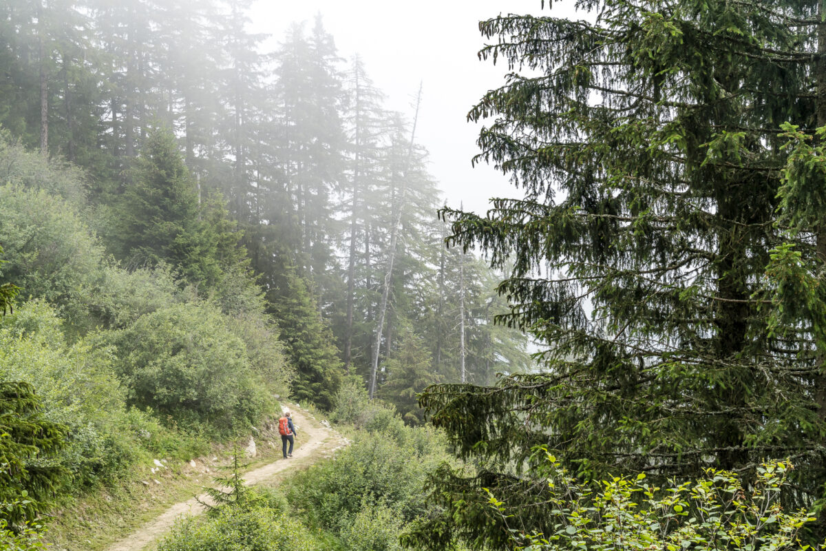
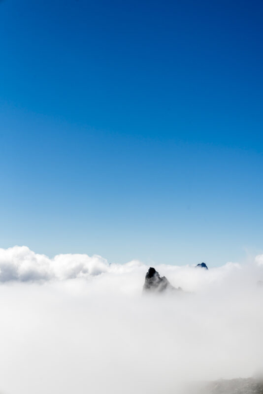
Fortunately, the approximately two-hour ascent to Alp Bovine – our stopover for a late lunch break – leads mostly through wooded slopes. This way, you are not constantly exposed to the sun even in the afternoon. While the Lower Valais still presents itself to us with bright sunshine at the start of the Col de Forclaz and we enjoy the panoramic view of the Rhone Valley, we land at the height of La Giète in the middle of the clouds.
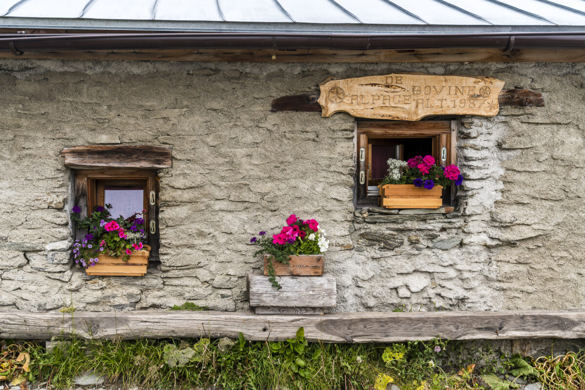
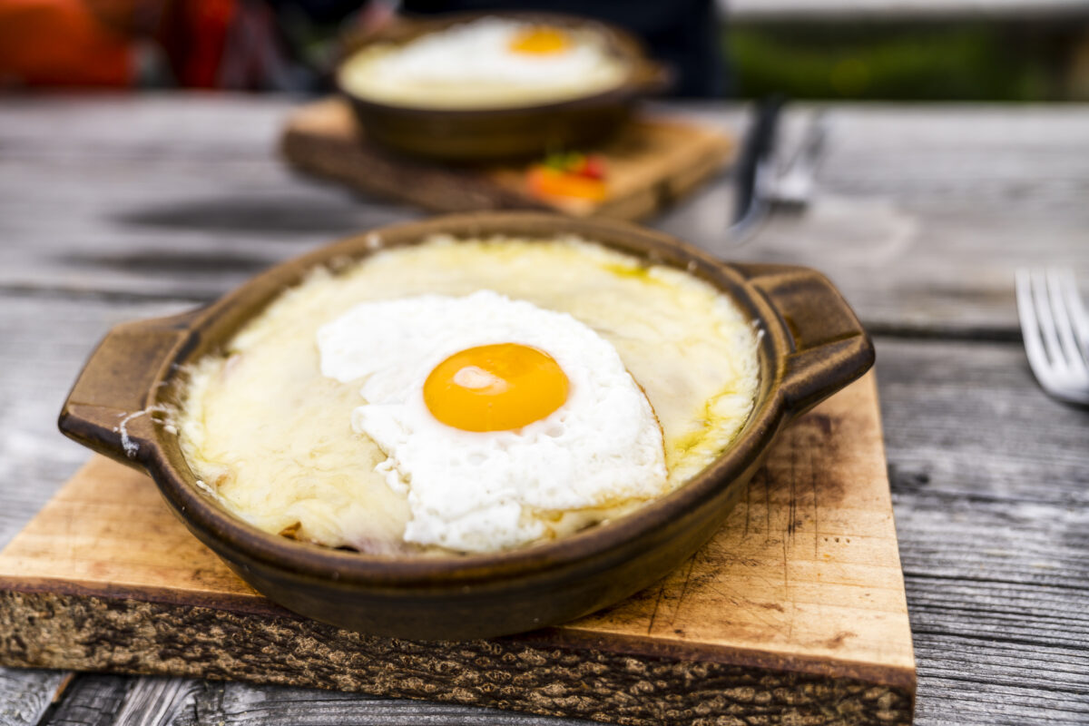
On this day, the clouds stubbornly cling to the mountain flanks and so it remains a foggy story on the rest of the way until just before Champex-Lac. That’s why I can’t rave about the great view at Alp Bovine. Unfortunately, the panorama was denied to us there, but the cheese slices were all the better! After 3.5 hours of travel and almost two hours of hiking uphill, we really deserved this refreshment. By the way, if you feel like it, you can also eat fondue here. Either way, a must-see stop on the Alpine Passes Trail from Trento to Champex-Lac.
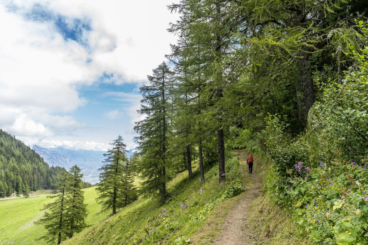
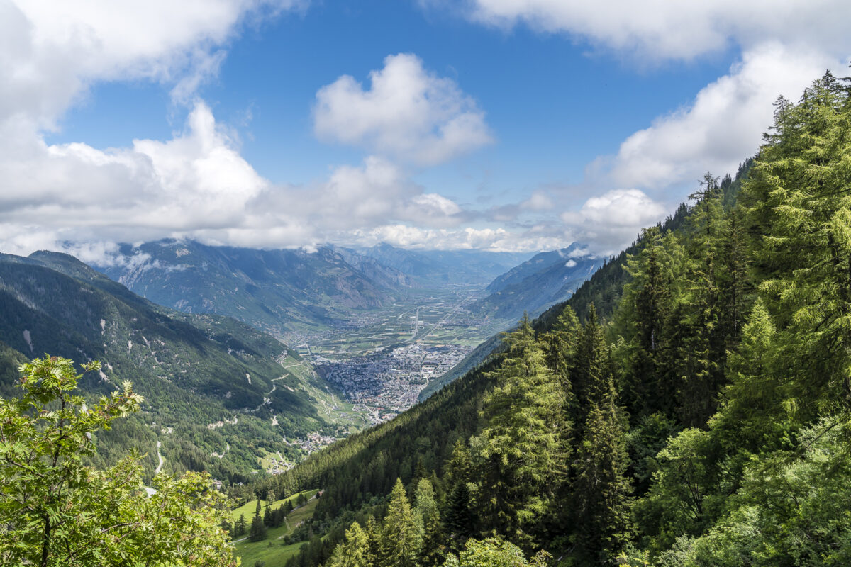
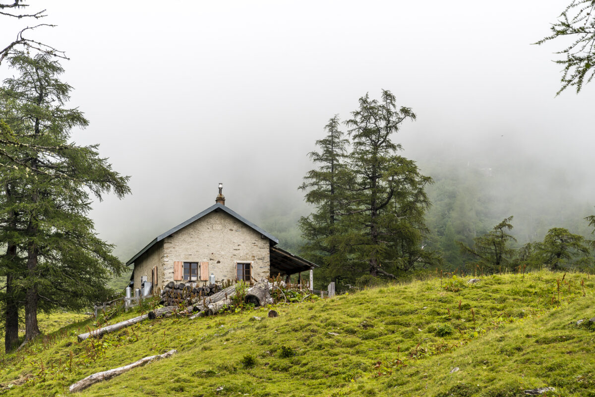
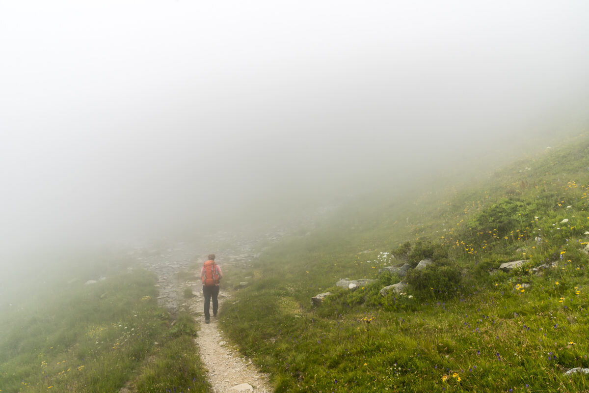
While the “freestyle” follows for us after lunch and we hike leisurely down the valley through the wild Durnand valley towards Champex-Lac, some heavy-panting long-distance hikers come towards us. But we must not rejoice too soon. From Champex-Bas, another 300 meters of altitude await us at the end of the day until we reach our destination for the day and our hiking base for the next two days in the wonderful Val d’Arpette.
Key points of the hike Col de la Forclaz – Alp Bovine – Champex-Lac
| Starting point | Bushaltestelle Col de la Forclaz |
| Length | 13.7 kilometres |
| Elevation gain | ↗ 930 m 832 m ↘ |
| Duration | 4:30 p.m. |
| Destination | Relais d’Arpette (or alternatively Champex-Lac) |
Relais d’Arpette – our hiking base in the Val d’Arpette
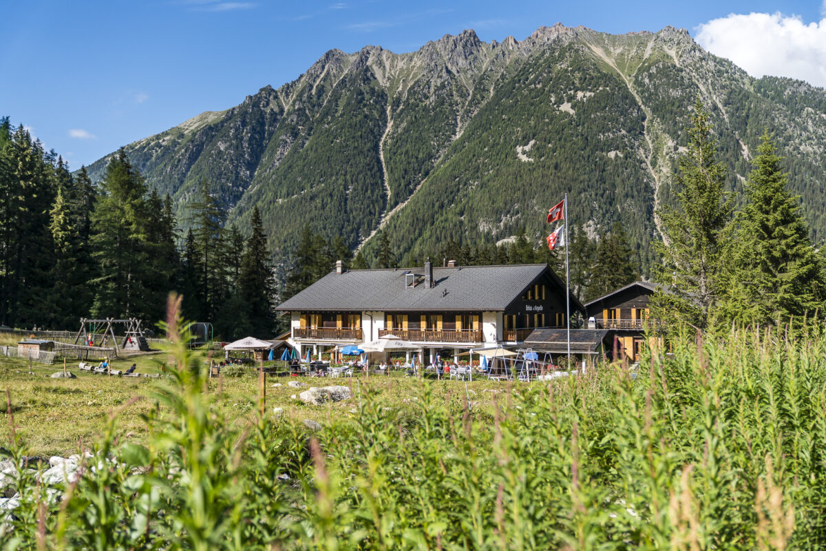
The Relais d’Arpette is a mountain farm with a long tradition. Before Bernd Rosenthal and his business partner – the village butcher of Champex-Lac – embarked on a new adventure, the house had been owned by the same family for over 4 generations since the 1920s. At the beginning of this year, the house was put up for sale due to a lack of successors. Bern Rosenthal discovered the “a vendre” sign by chance on a ski tour. The native German, who has lived in the region for a long time and worked in the management and event sector – most recently as a lecturer at a college of higher education – seized the opportunity and took over the traditional business together with his business partner. And this in the middle of the “corona crisis”!
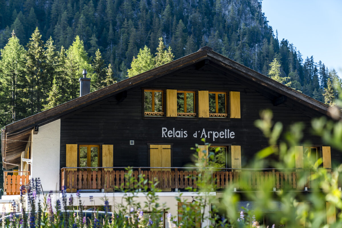
While the Relais d’Arpette has so far been frequented mainly by long-distance hikers on the Tour du Mont Blanc, Bernd Rosenthal is pursuing the vision of establishing the Relais d’Arpette as a year-round base for active holiday guests. Whether as a couple, as a family or as a camper – there is a suitable place for everyone here and the prices are also absolutely reasonable.
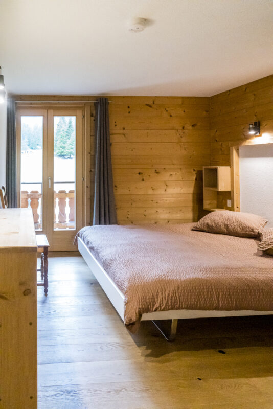
We are accommodated in a simple but beautiful double room with integrated shower/WC and a wonderful view towards the end of the valley. However, there are also double rooms with shared bathrooms and various multi-bed rooms (from 4 to 6 to 8 people). In addition, a meadow area behind the house is reserved for tents and vans.
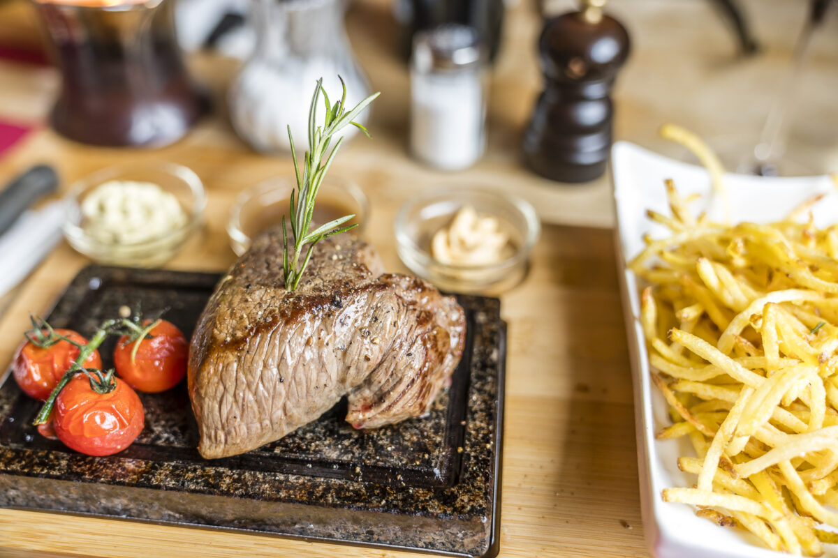
Another goal of the new managing directors is to further develop the culinary reputation of the Relais d’Arpette and to delight guests with local dishes and outstanding meat specialties – somehow obvious when a butcher is on board, right?
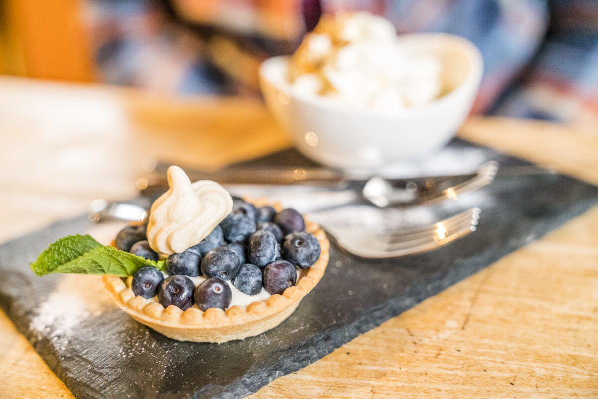
We tried our way through the current menu on the two days and were very impressed. According to our taste, there are only a good handful of dishes on the menu, all of which have a local reference. From the salad plate with gratinated tomme de bagne, to Herens tartare and hash browns – everything tastes very fine!
Tag 2: Bergtour via Cabane d’Orny zur Cabane du Trient
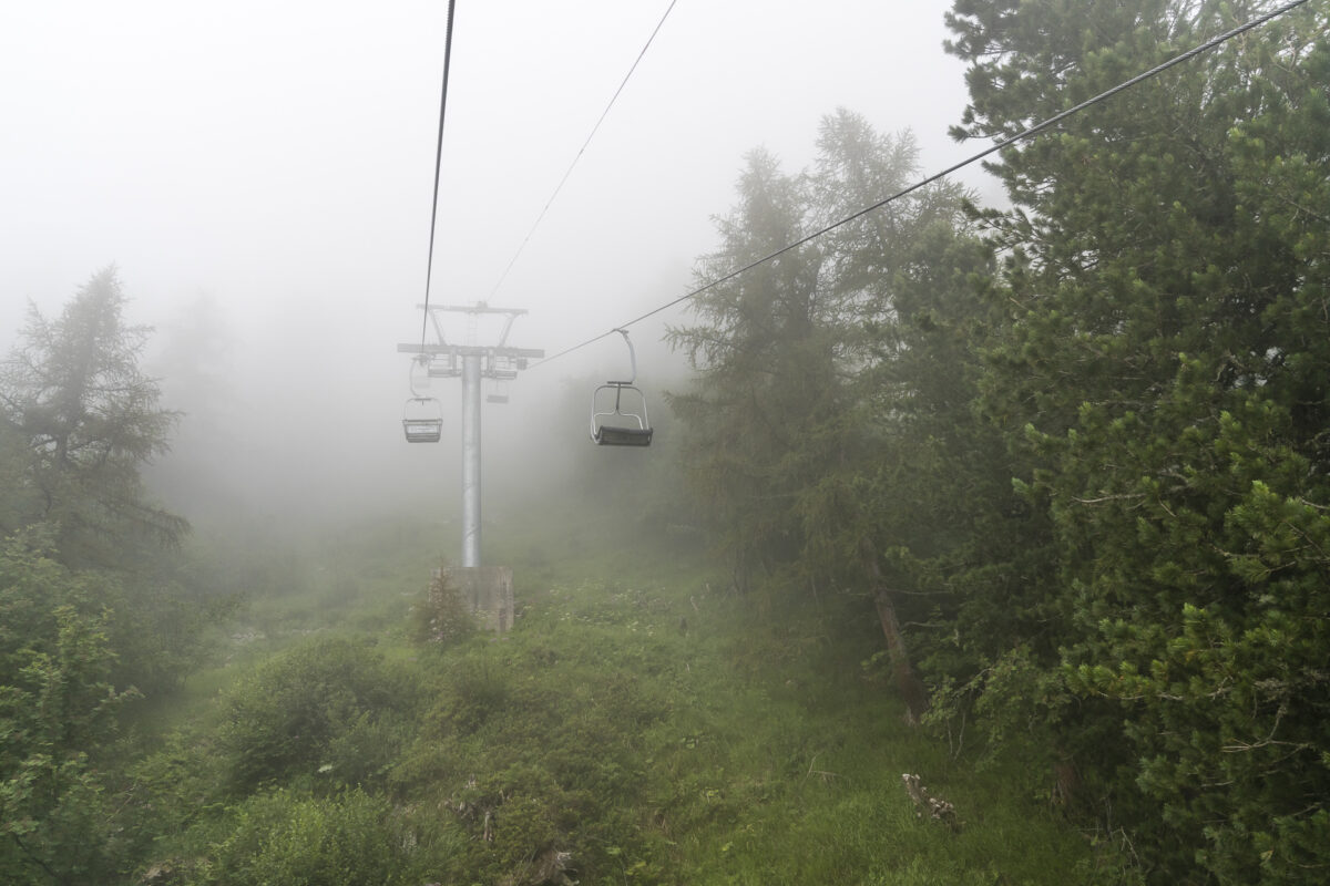
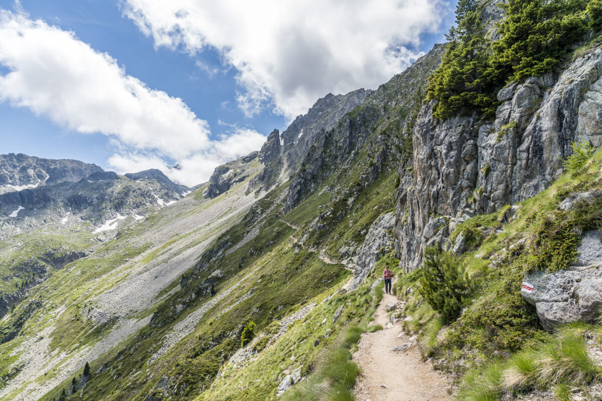
The next morning is surprisingly overcast. Wasn’t the best hiking weather forecast? However, we don’t let the fog stop us and start with a thirty-minute walk from the Relais d’Arpette to the valley station of the Champex-Lac – La Breya chairlift. The chairlift then takes you almost 700 metres uphill to the “Grands Plans” – the starting point of the popular hut tour to the Cabane d’Orny, or to the Cabana du Trient.
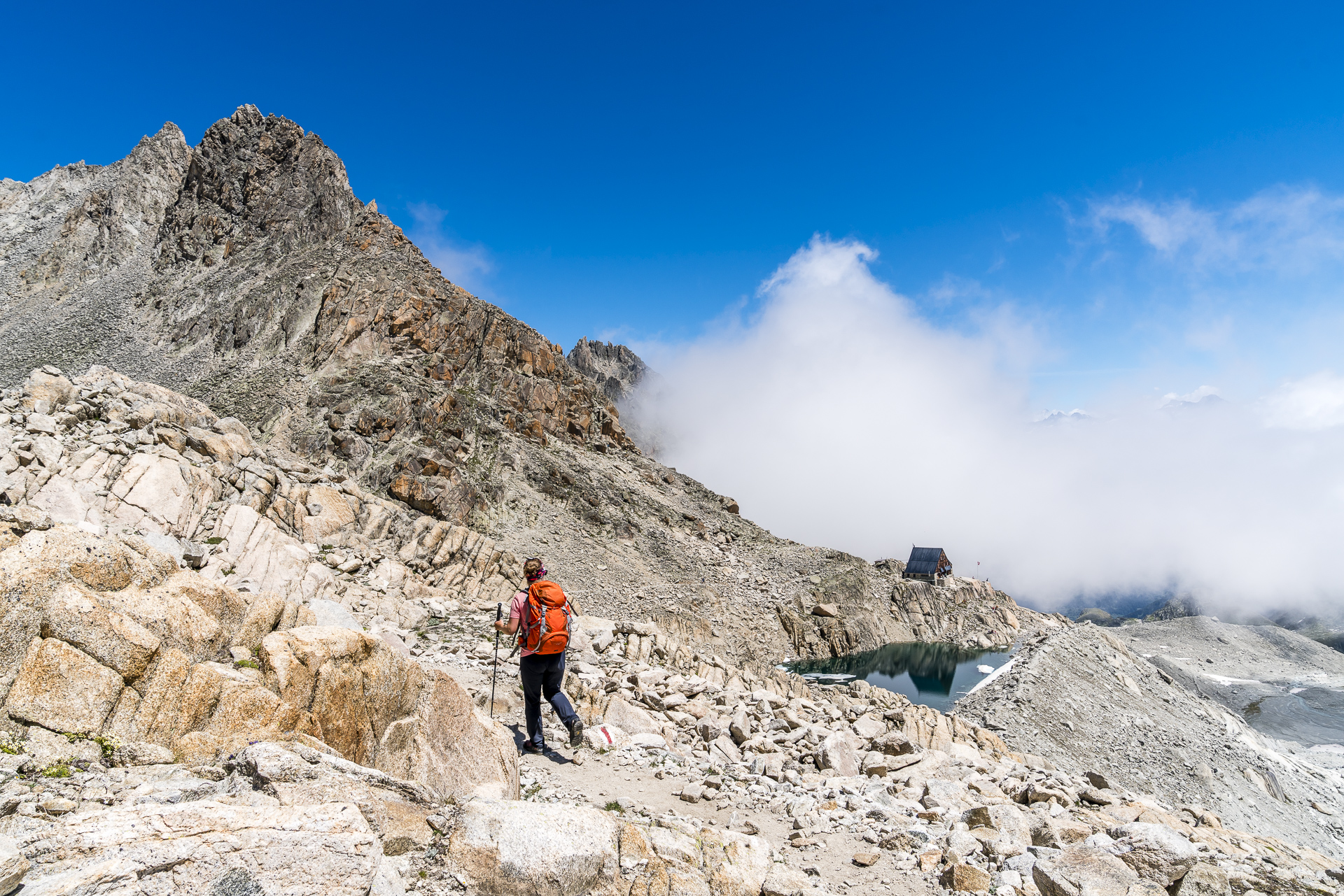
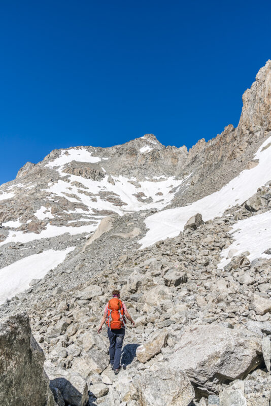
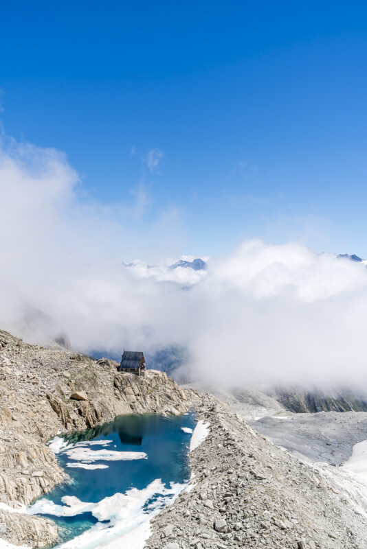
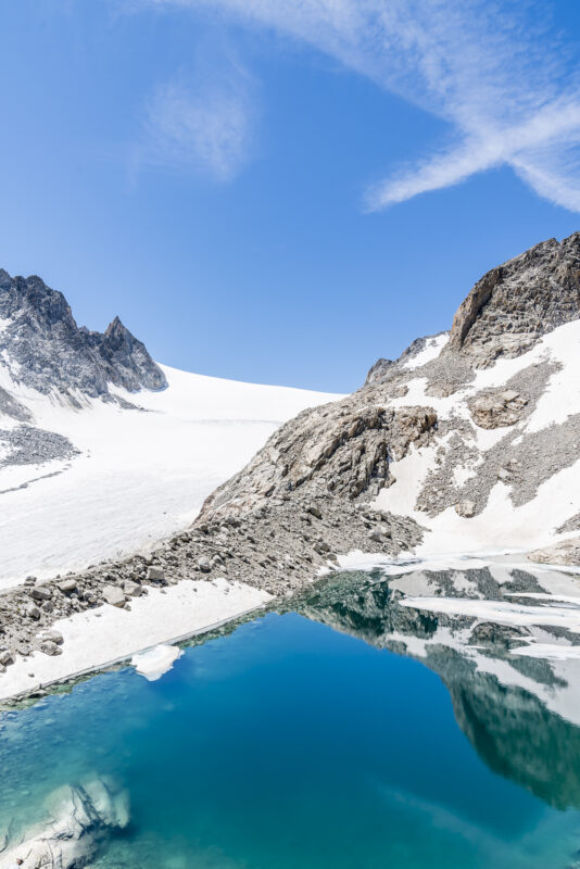
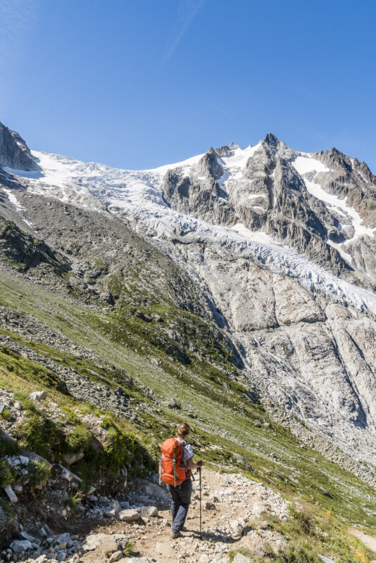
The hike first leads along the Combe d’Orny as a high-altitude trail and then leads you relatively quickly into high alpine terrain, along the Glacier d’Orny to the Cabane du Trient at 3,169 m above sea level. Here, the ascent is rewarded with an impressive view over the snow- and ice-covered Plateau du Trient.

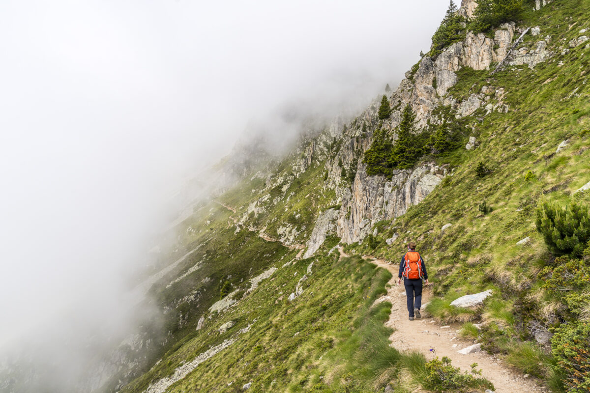
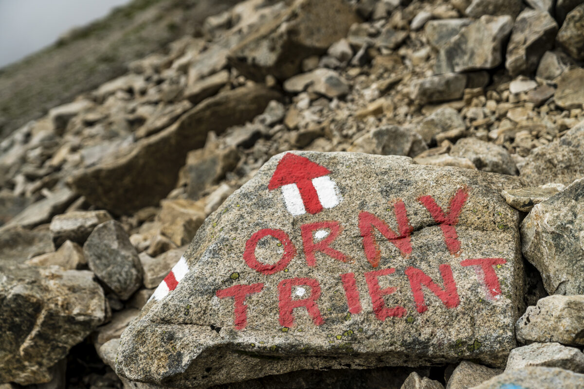
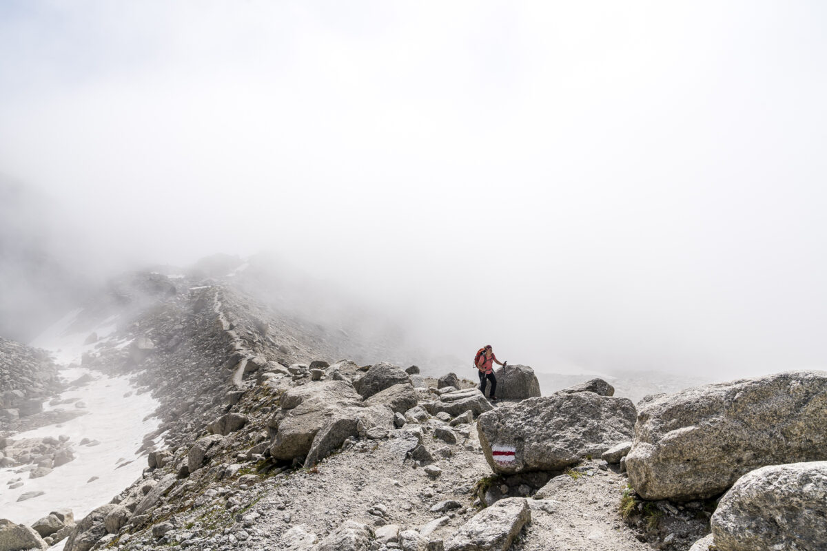

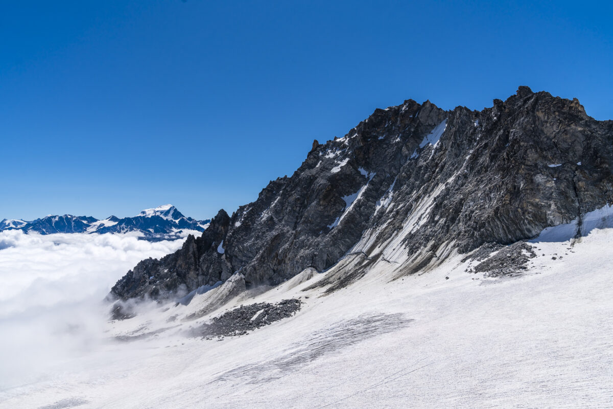
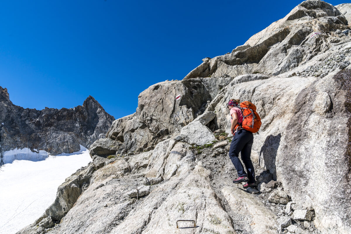
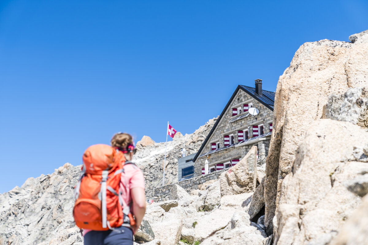
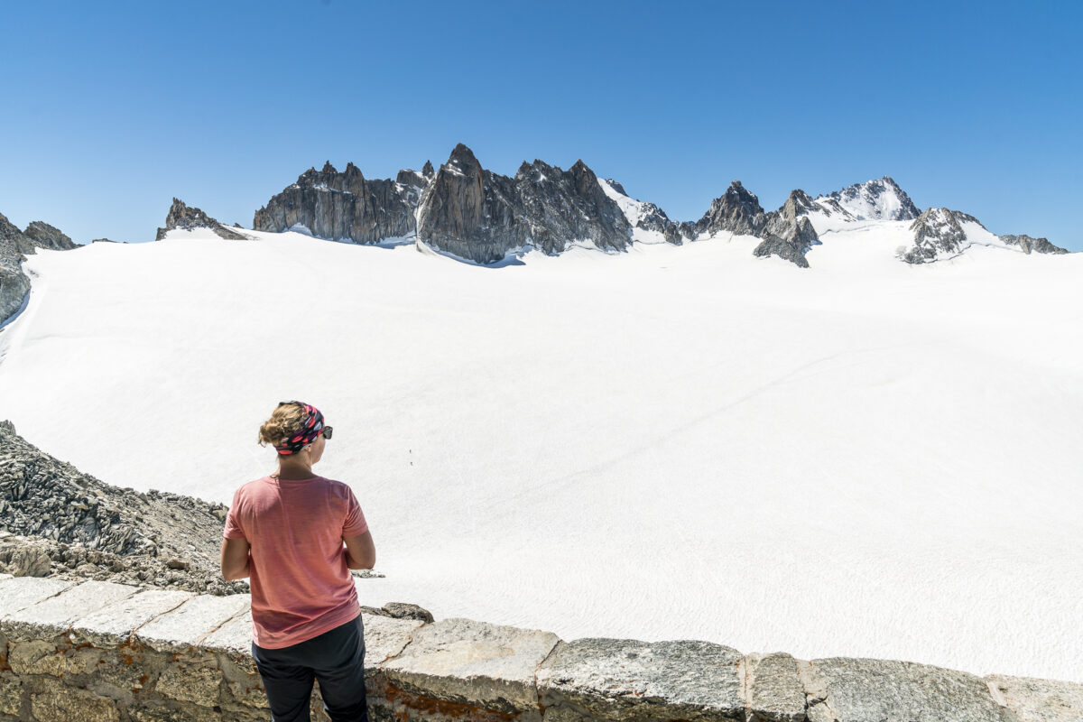
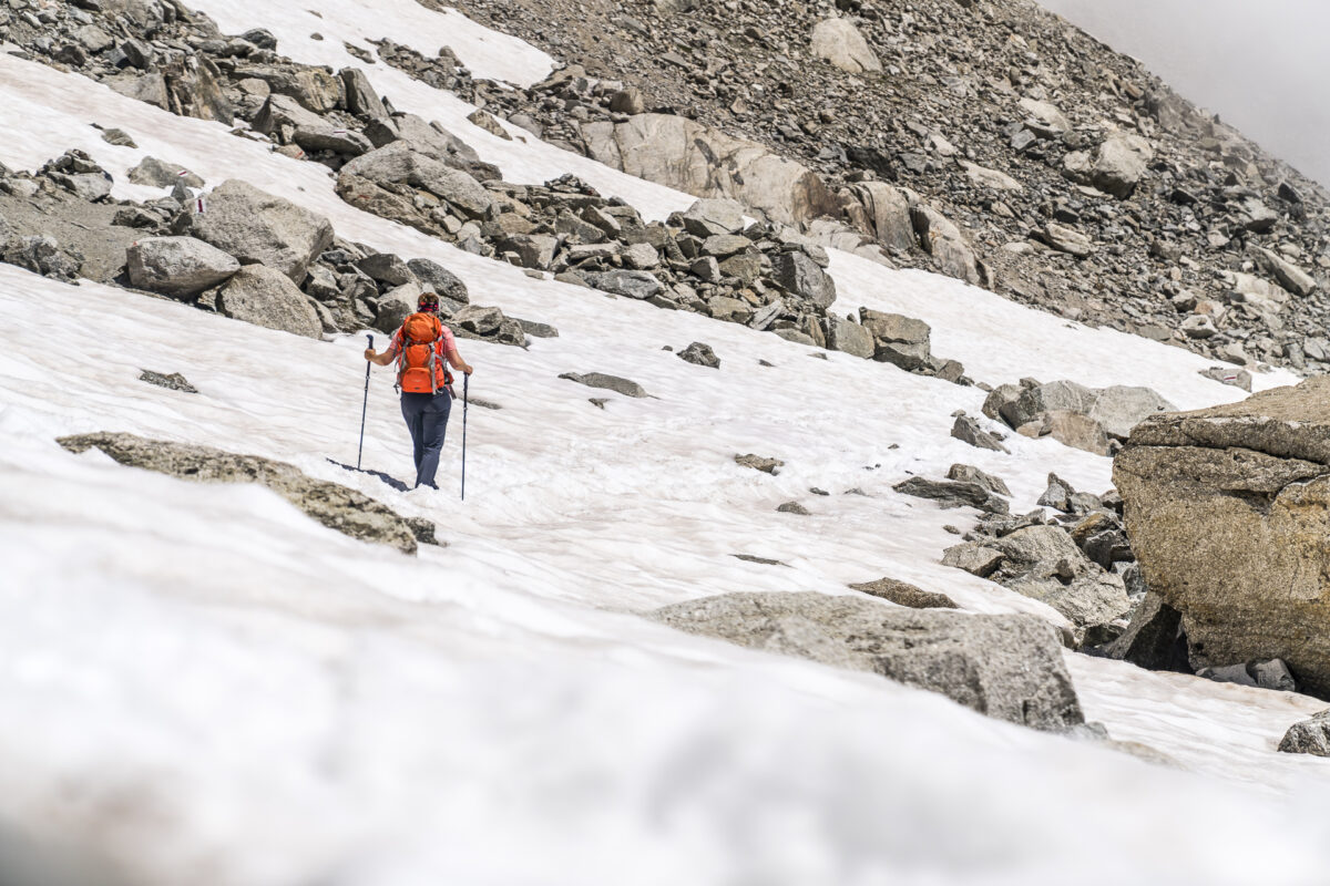
On the website of the Cabane du Trient, the route description states that the ascent to the hut via Cabane d’Orny has a difficulty of T4. According to the SAC hiking scale, T4 means “alpine hiking, trail not necessarily available/in certain places you need your hands to move forward”. Personally, I didn’t find the path particularly difficult technically. There were one or two tricky spots and then the snow and scree fields in particular made for more challenging conditions than when you can comfortably follow a well-developed hiking trail throughout. Endurance – or perseverance – is required here in any case, but you don’t have to have any special skills apart from surefootedness to complete the tour. And if you notice at the Cabane d’Orny that you’re already running out of breath here, you can simply treat yourself to an extended break there.
Without high-altitude touring experience, you can return the same way from the Cabane du Trient via Cabane d’Orny in the direction of Breya. After that, there are three options, either you branch off to the right and follow the path downhill through the wild Combe d’Orny to Champex-Lac or you follow the path on the left over the Col de la Breya back to the Val d’Arpette (although this climb looked very jagged from the fork in the road). The third option is the shortest and most knee-friendly – the same way back to the mountain station of the chairlift.
Key points of the hike La Breya – Cabane du Trient – La Breya
| Starting point | Mountain station of the La Breya chairlift |
| Length | 13.6 kilometres |
| Elevation gain | ↗ 1,168 m 1,168 m ↘ |
| Duration | 5:45 p.m. |
| Destination | Mountain station of the La Breya chairlift |
Après-hike in the idyllic Champex-Lac
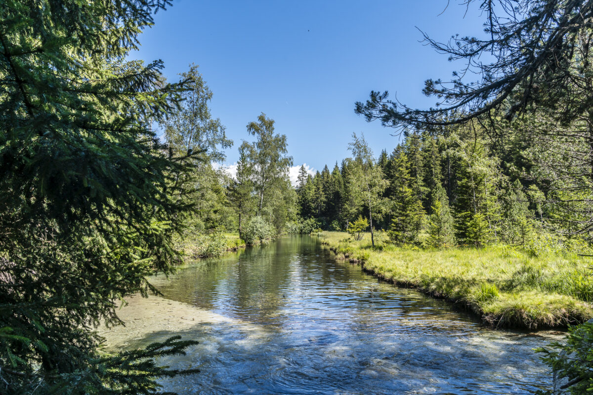
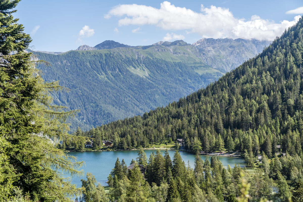
I flirted with the descent via Combe d’Orny, but due to the length of the tour – then we would have easily been on the road for seven hours – and in favor of a short round through Champex-Lac, I decided to take the leisurely version with the chairlift downhill. To do this, we add an almost one-hour circular hike through Champex-Lac at this point, following the signposted lake path through the “swamp” of Champex-Lac to the lakeshore. SUPs, pedalos, swimming – water lovers will get their money’s worth here.

Also worth a stop is the Fondation Aubert Jean-Marcel. The botanical garden offers not only a comprehensive insight into the alpine flora, but also a beautiful view of Champex-Lac.
Via Petit Ruisseau back to the Relais d’Arpette
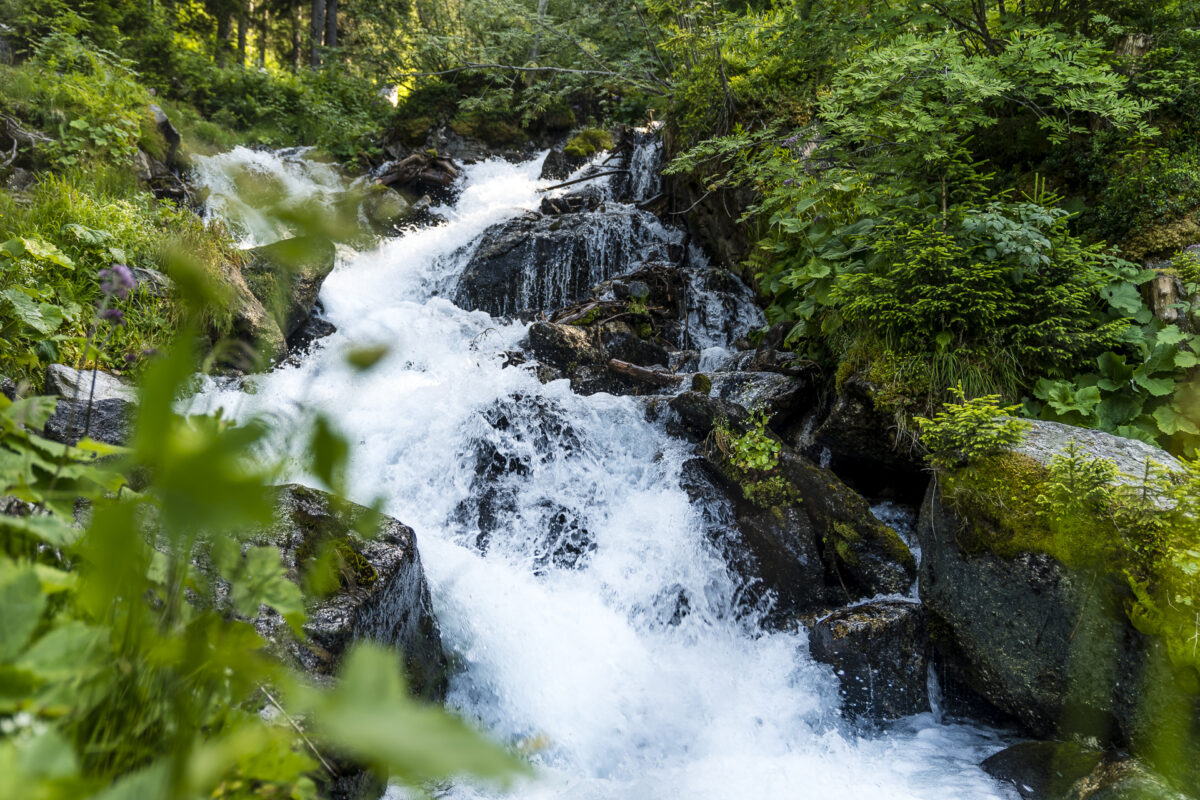
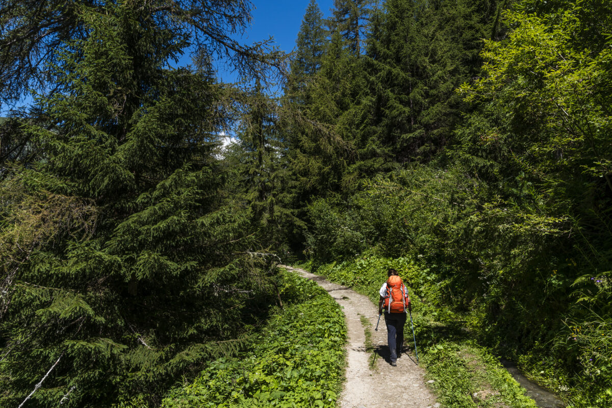
The Relais d’Arpette can be reached by car via a small road. However, there is no public bus connection from Champex-Lac to Val d’Arpette. At first, from the 30 to 45 minute climb from the village to the Relais d’Arpette, I had doubts about whether the location was really that great. However, the official hiking trail along the “Bisse du Champex“, as the narrow forest path along the bubbling Petit Ruisseau is called, is so beautiful that my concerns are dashed on the second ascent. Here it is really easy to hike uphill!


Our tour through the village including the ascent along the Bisse du Champex to the Relais d’Arpette (tour length about 1 hour) is marked on the following map.
Day 3: Hike via the Fenêtre d’Arpette back to the Col de la Forclaz
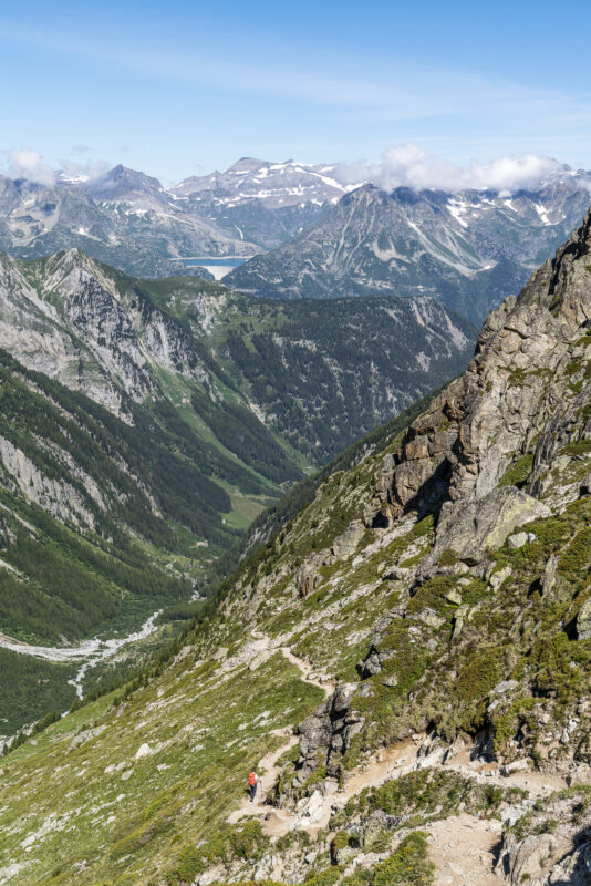
On the third day, we take advantage of our location in the Val d’Arpette. Today we want to tackle another classic of the Tour du Mont Blanc. In addition to the Alpine Passes Trail, the “Fenêtre d’Arpette” is the second – more challenging – option for getting from Trento to Champex-Lac. Similar to the mountain hike to the Cabane du Trient, this tour is also marked white-red-white throughout, but also has a few scrambling sections plus very steep scree terrain.
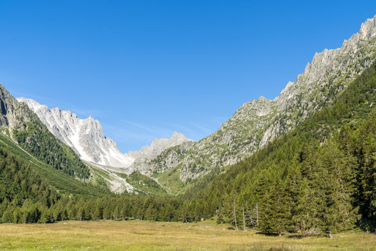
In contrast to those hikers who start in Champex-Lac, we now benefit from our elevated position and can warm up comfortably on the first 1.5 kilometers through the idyllic plateau of the Val d’Arpette. This is where the headwaters of the Durnand are located. While the river meanders harmlessly through the pastures in the Val d’Arpette, further down the valley – above Martigny – it has created an impressive gorge landscape that is one of the most beautiful in Switzerland (unfortunately we didn’t have enough time to visit the Durnand Gorge this weekend – but it’s noted for another time!). At the back of the valley, you will find a unique and particularly diverse plant world, which ProNatura has acquired and declared a protected area.
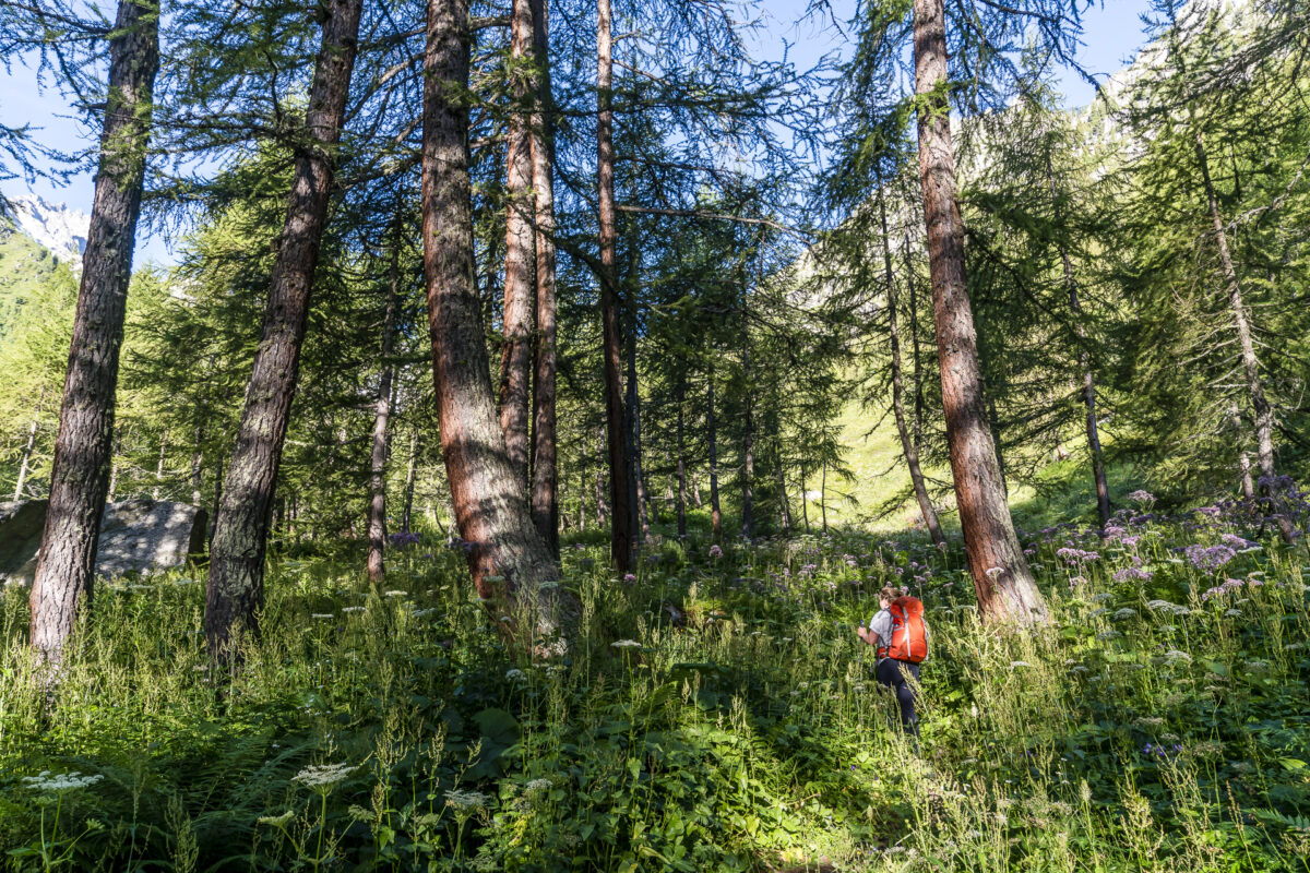
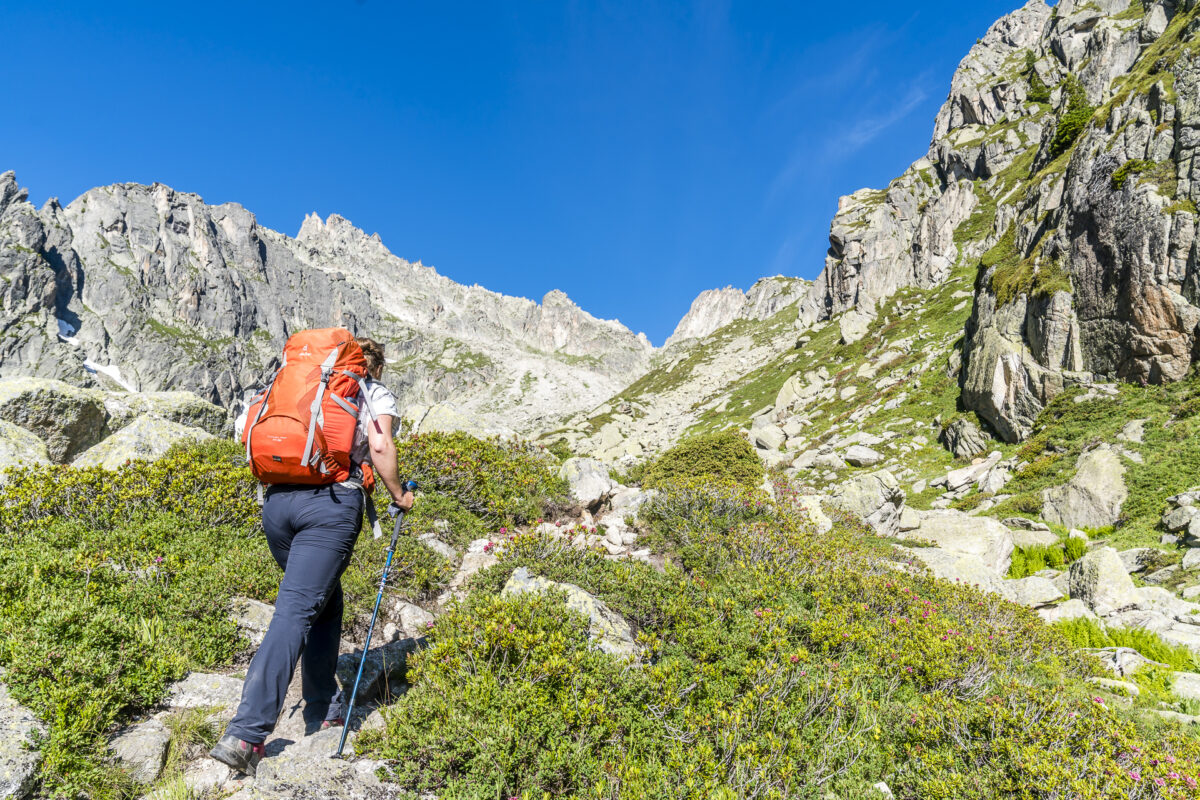
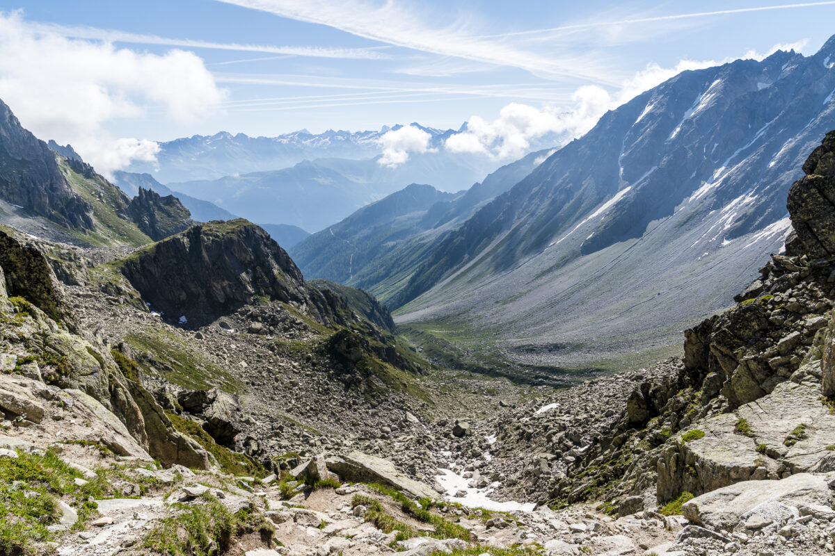
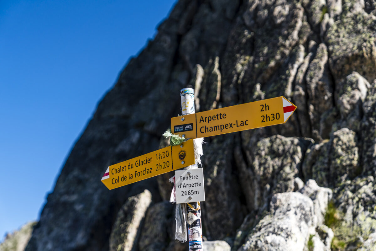
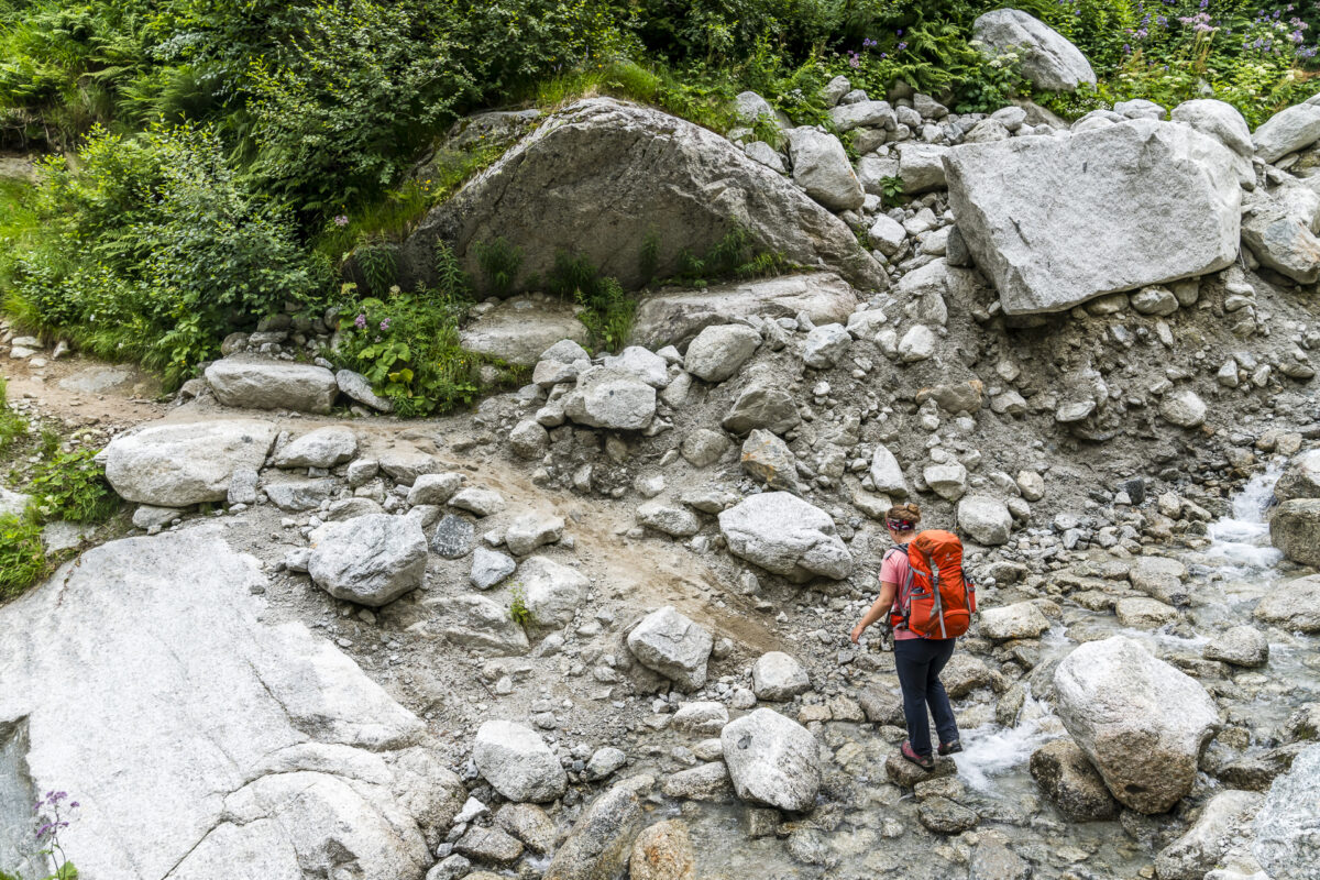
The route reminds me of our Patagonia hiking adventures. Narrow paths, tall vegetation, smaller and larger streams – great! This magical section is crossed much too quickly. Now comes the “back-breaking work”. The path zigzags up towards Barme. The last kilometer to the Fenêtre d’Arpette is the hardest. Steep scree fields and I will probably never be best friends. But we also put this game behind us and after a good 2.5 hours of ascent we look down from the Fenêtre d’Arpette into the Trient valley.
The subsequent descent to the Buvette du Glacier du Trient is also not to be underestimated. In the first part it is stony and steep – poles are usually more of an obstacle than a help and then it drags on until the small refreshment bar at the end of the Trient glacier comes into view. The closer we get to the Buvette, the more hikers there are on the way. The Glacier du Trient in combination with the Bisse du Trient (from Col de la Forclaz) is a popular weekend destination. Otherwise, we met surprisingly few people on the hiking trails on all three days. Of course – you are not alone, but due to the currently no Tour du Mont Blanc groups (which had also made up a quite large share of seasonal tourism here until the Corona summer), it would be presumptuous to say that it would be “overcrowded” in any way.
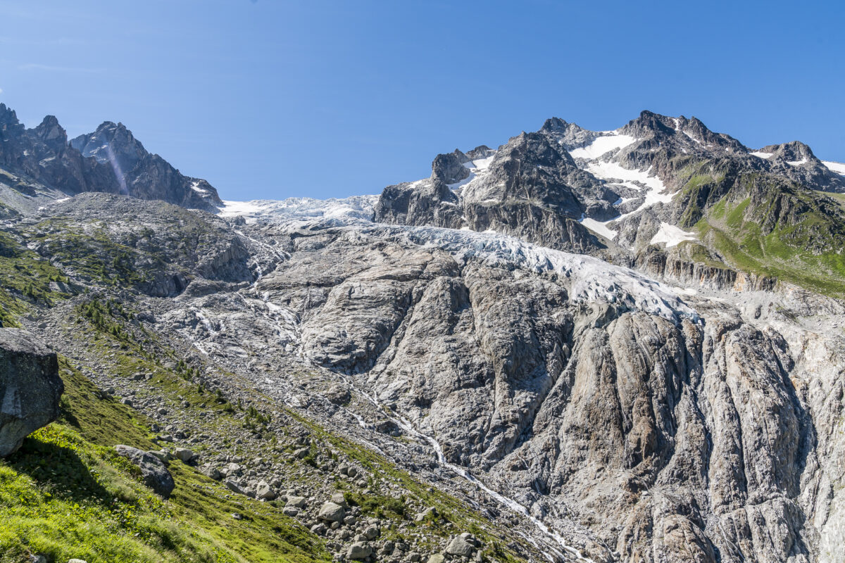
The last section takes us along the Bisse du Trient from the Glacier du Trient to the Col de la Foclaz in just under 30 minutes – and thanks to our hiking timing, which is coordinated with public transport, we catch the midday post bus connection back to Martigny as planned.
| Starting point | Relais d’Arpette |
| Length | 12.3 kilometres |
| Elevation gain | ↗ 1,090 m 1,090 m ↘ |
| Duration | 5:30 p.m. |
| Destination | Bushaltestelle Col de la Forclaz |
Practical tips for your hiking weekend in Champex-Lac
The three days of hiking in and around Champex-Lac showed us that the “Pays du St-Bernard” region is a fantastic area for mountain lovers and hiking fans. The key points of the three tours can be found directly in the text. Furthermore, I can give you the following tips.
- The summer season at the Relais d’Arpette lasts until mid-October. For the camping place you pay per adult 13.50 for the night. The accommodation prices at the mountain inn range from 79 to 101 CHF per night including half board. All other important information can be found on the website: Arpette.ch
- If you are planning a leisurely day trip, I can recommend the entertaining hike from Champex-Lac along the Bisse du Champex to the Relais d’Arpette. There you can stop for a bite to eat and then end the afternoon at the lake.
- For those who want to take several days to explore Champex-Lac/Val d’Arpette as well as the entire region, the purchase of the Pass Saint-Bernard can be worthwhile. The Summer Pass (exclusively for guests who spend at least one night in the resort, valid from 1 May to 31 October) costs CHF 29 and includes free use of public transport, the Champex-Lac & Fouly chairlifts and various activities such as a visit to the botanical garden and stand-up paddle or pedalo rental.
- For the hikes from Trento/Col de la Forclaz, it is advisable to coordinate/plan the hikes in advance with the corresponding public transport connections. There are only 3x daily connections to/from Martigny.
Note: Our stay in Champex-Lac was supported by the Relais d’Arpette. All impressions and opinions are ours.






Leave a Reply