

Varied 3-day hike on the Schanfigg Village Trail
Advertising: Contribution in cooperation with Arosa Tourism
Discover and experience the original villages of the Schanfigg on a hiking trail that spans the valley – this is exactly what the Schanfigg Village Trail between Chur and Arosa invites you to do. A multi-day hike that is suitable for hiking beginners as well as people interested in culture. At the end of June, we went on a three-day hike on the Village Trail and explored a good 30 kilometers of the total of about 70 kilometers of hiking route. In the following lines you will find an insight into the highlights of our tour variation.
On the Schanfigg village trail from Chur to Arosa and back
The Schanfigg is the elongated valley that leads from Chur to Arosa. The Schanfigger “cluster villages” sit enthroned like eagles’ nests in sun-drenched locations high above the valley floor, where the wild Plessur has dug deep into the rock layers. In addition to the established Schanfigger Höhenweg, the newly designed Village Trail offers a less altitude-intensive hiking route through the Schanfigg following existing hiking trails. The focus is on the varied cultural landscape and getting to know the various Schanfigger villages with their peculiarities.
Due to the good connection to public transport, the village trail can be easily hiked in stages. If you have the time and inclination, you can of course also take four to five days at a time to complete the entire route from Chur to Arosa and back to Chur via the other side of the valley.
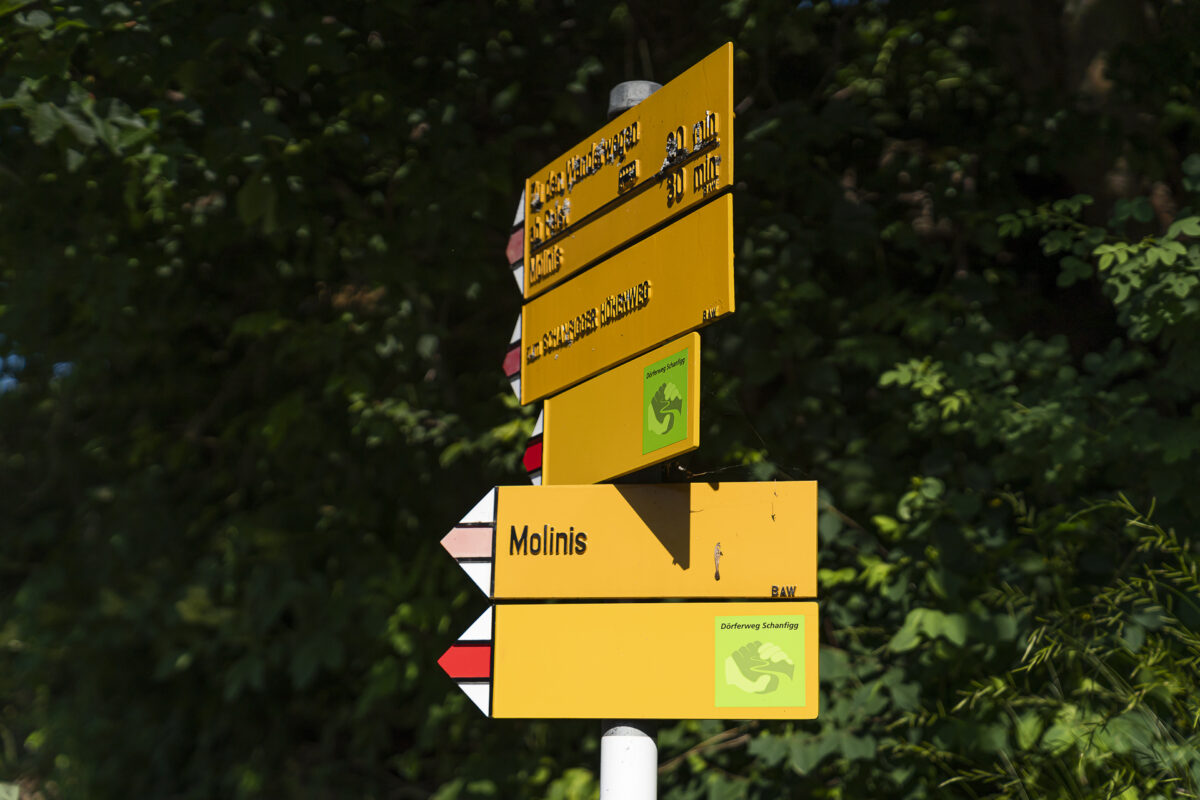
For the most part, the village trail runs along red-white-red marked mountain hiking trails (difficulty T2) and is uniformly marked on the hiking trail signs by means of “green sticker”. On Switzerland Mobil, however, the Village Trail is not yet available as an independent route. One of the reasons for this is that the Frauentobel has been opened up for the village path between Peist and Langwies and this path has not yet been followed. An overview of the entire route can be found on the official website of Arosa Tourism.
Our variation of the Schanfigg Village Trail
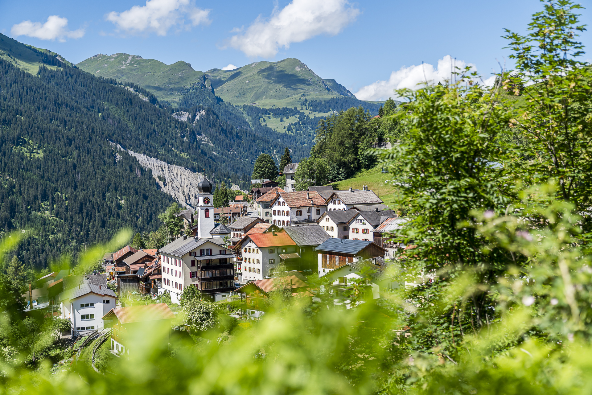
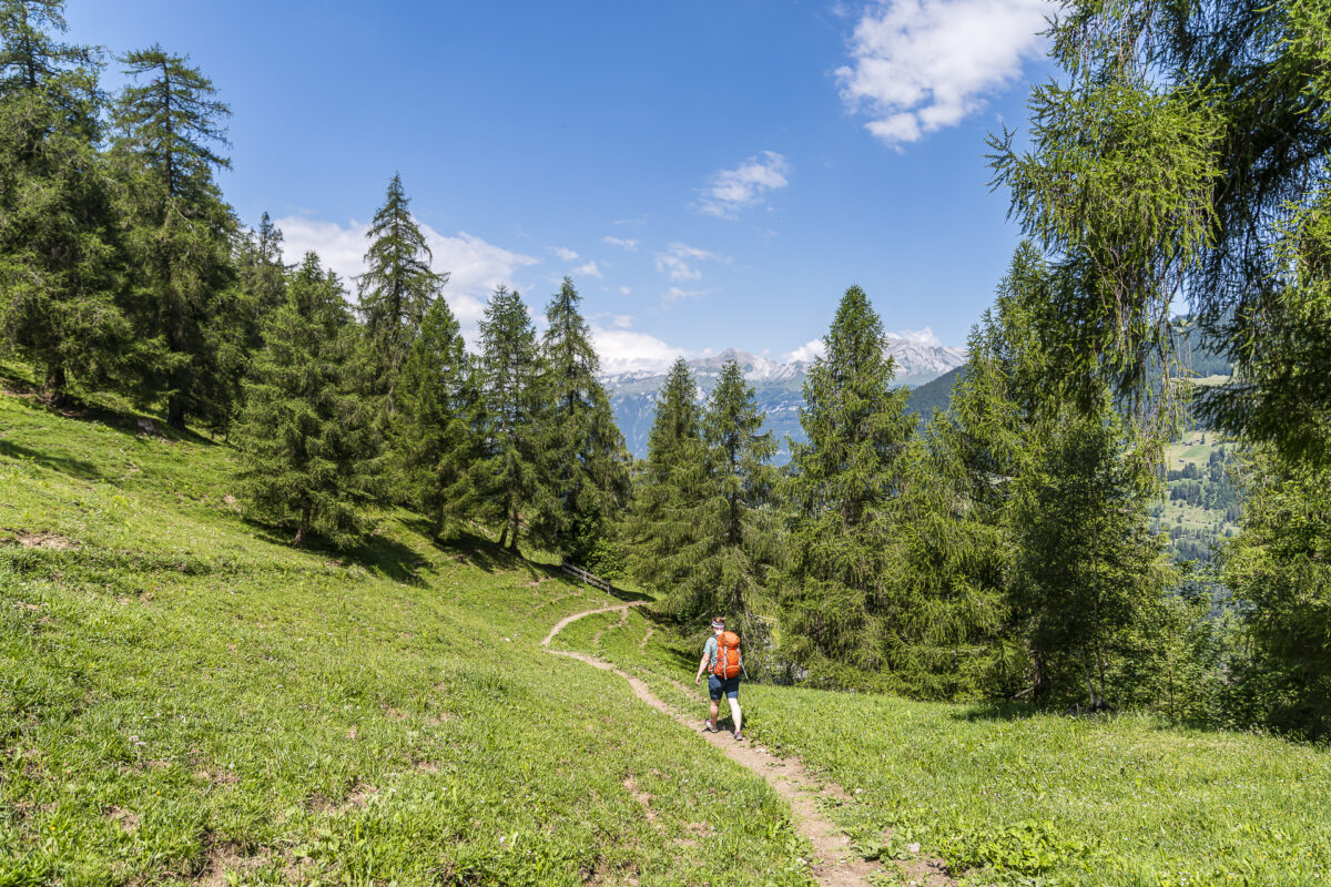
Day 1: from Chur via Maladers to Pagig
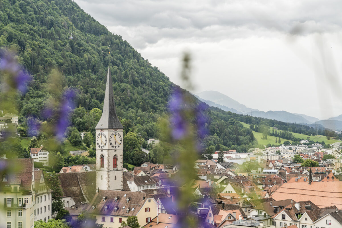
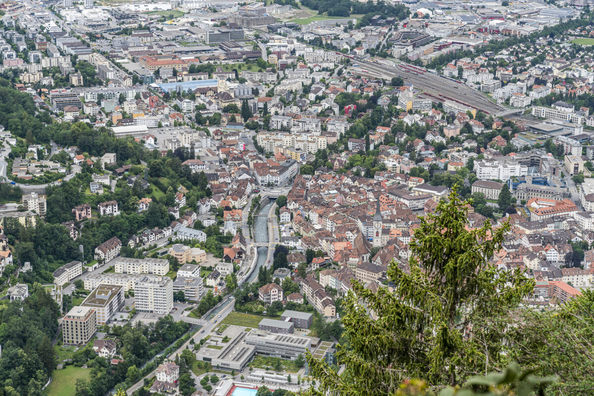
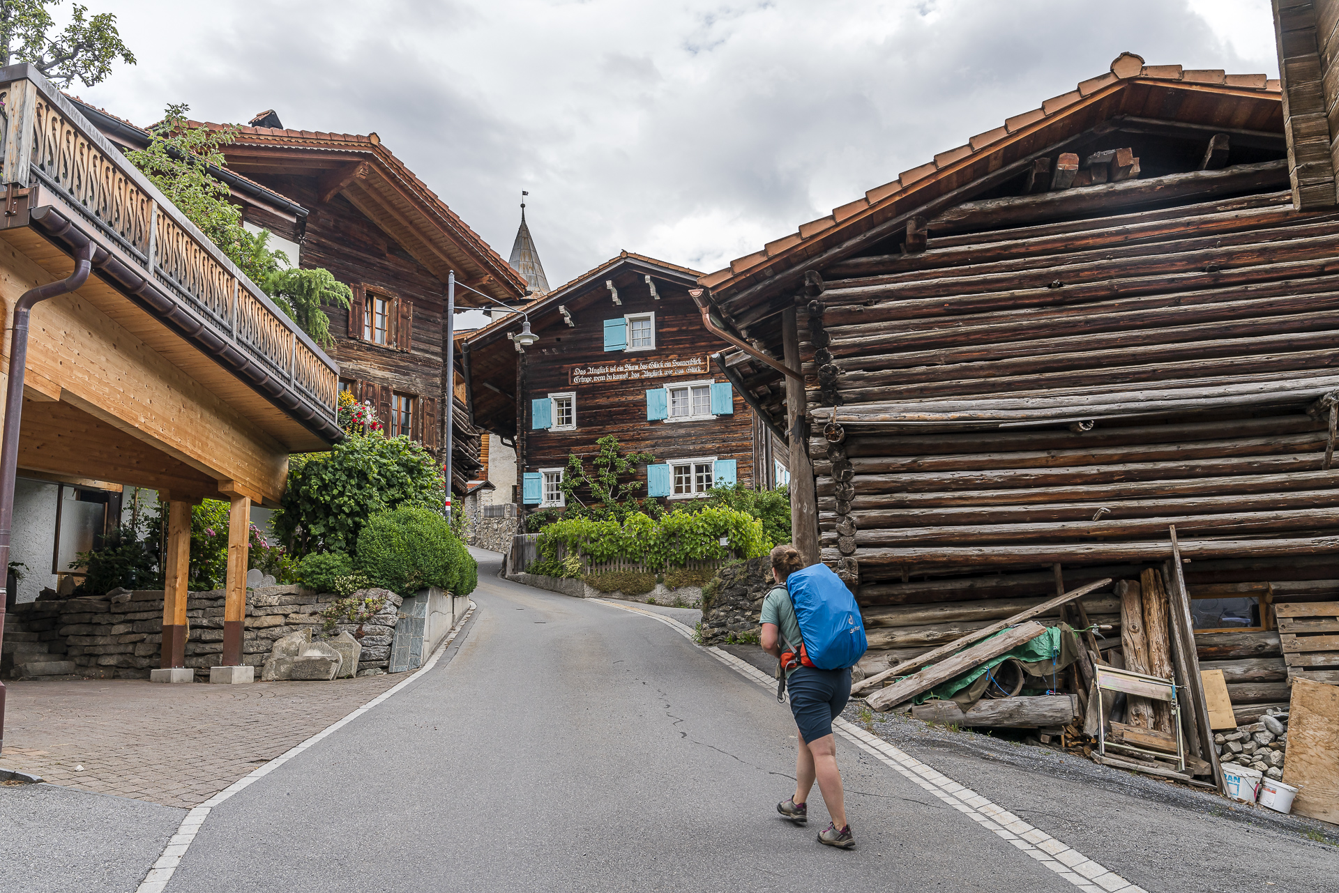
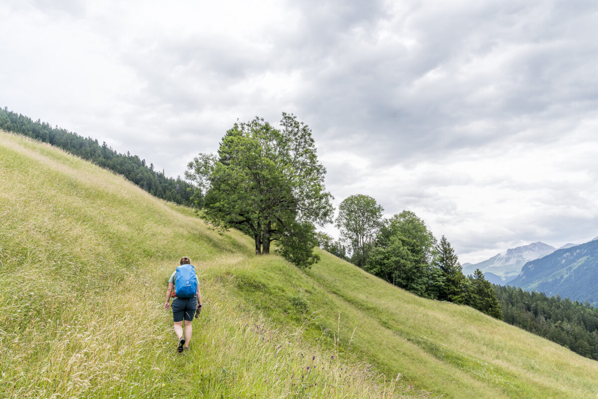
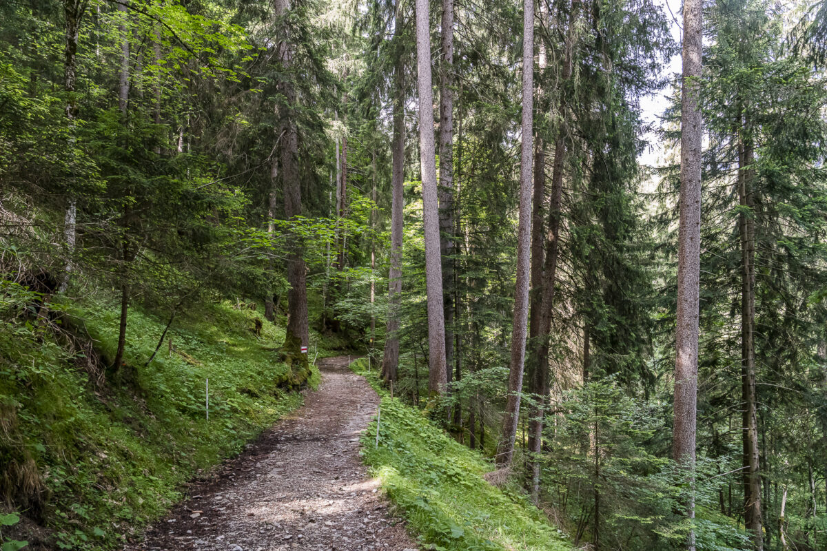
When I arrive at Chur train station, I take a critical look at the dark clouds. Will the weather hold? Due to the uncertain weather conditions, we decide to tackle the first kilometers sooner rather than later and march off purposefully. The Dörferweg can be started directly from Chur train station. From here, the signposts lead you through the pretty city centre and on via St. Luzistrasse to the panoramic hills behind the Episcopal Castle.
Today’s stage is the most strenuous in terms of altitude. More than 1,100 metres of altitude have to be overcome before we reach today’s stage destination – Pagig. But getting started is made easy for us. The hiking trail leads up the wooded “Halde”, past the St. Luzi Chapel until we take a short breather at a vantage point in front of Maladers and marvel at how many meters of altitude have already been achieved when looking down towards Chur.

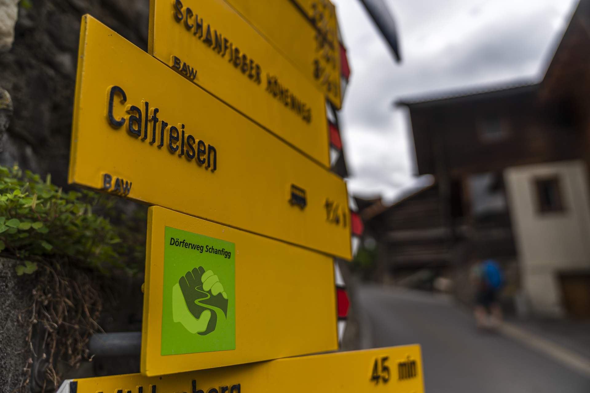
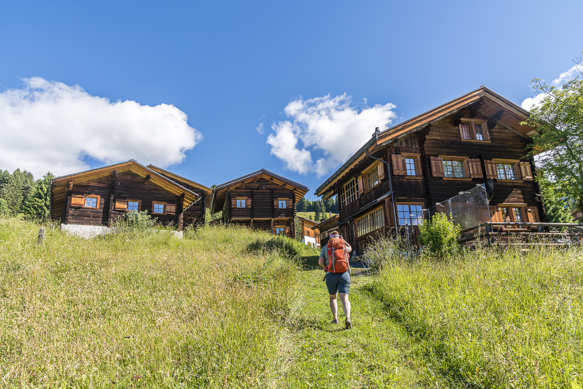
We cross Maladers, admire the wood-knit buildings typical of the region and follow the hiking trail – which no longer climbs quite so “gäch” – over dirt roads to Calfreisen. “Did I just feel a drop of rain?” Fortunately, the onset of dripping is short-lived. But I still keep the umbrella in my hand. “To be on the safe side”. The rain would surely start exactly when I had packed it away.
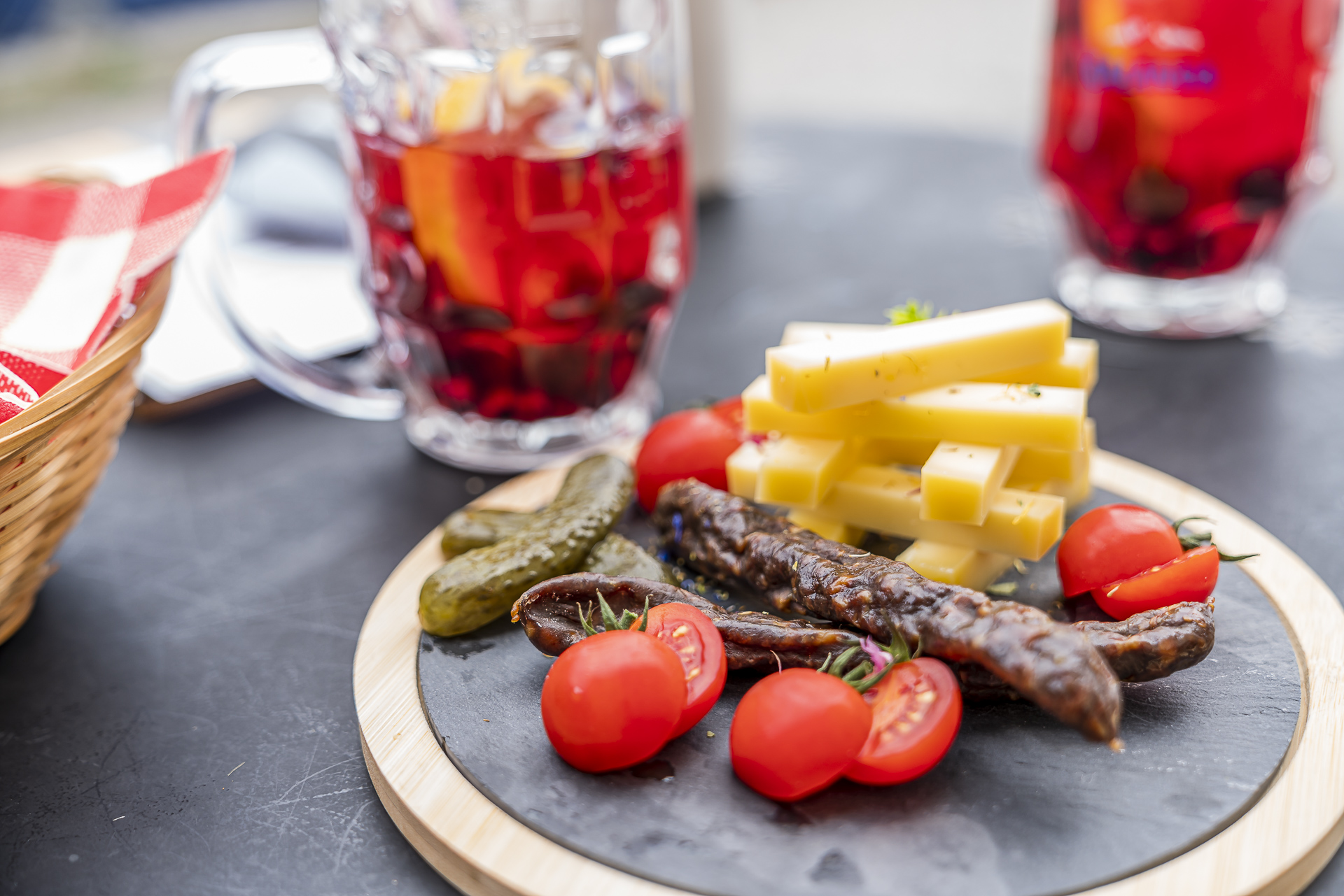
Slowly, the hunger makes itself felt. But there is no one on site in the Gassa Beizli, one of the “broom pubs” on the Dörferweg. So we walk one village further and stop at the Pasunna restaurant in Castiel. A decision worth emulating: a fine, homemade iced tea (which, by the way, is taken literally here) with berries, a fine platter with farm products and a very warm hostess.
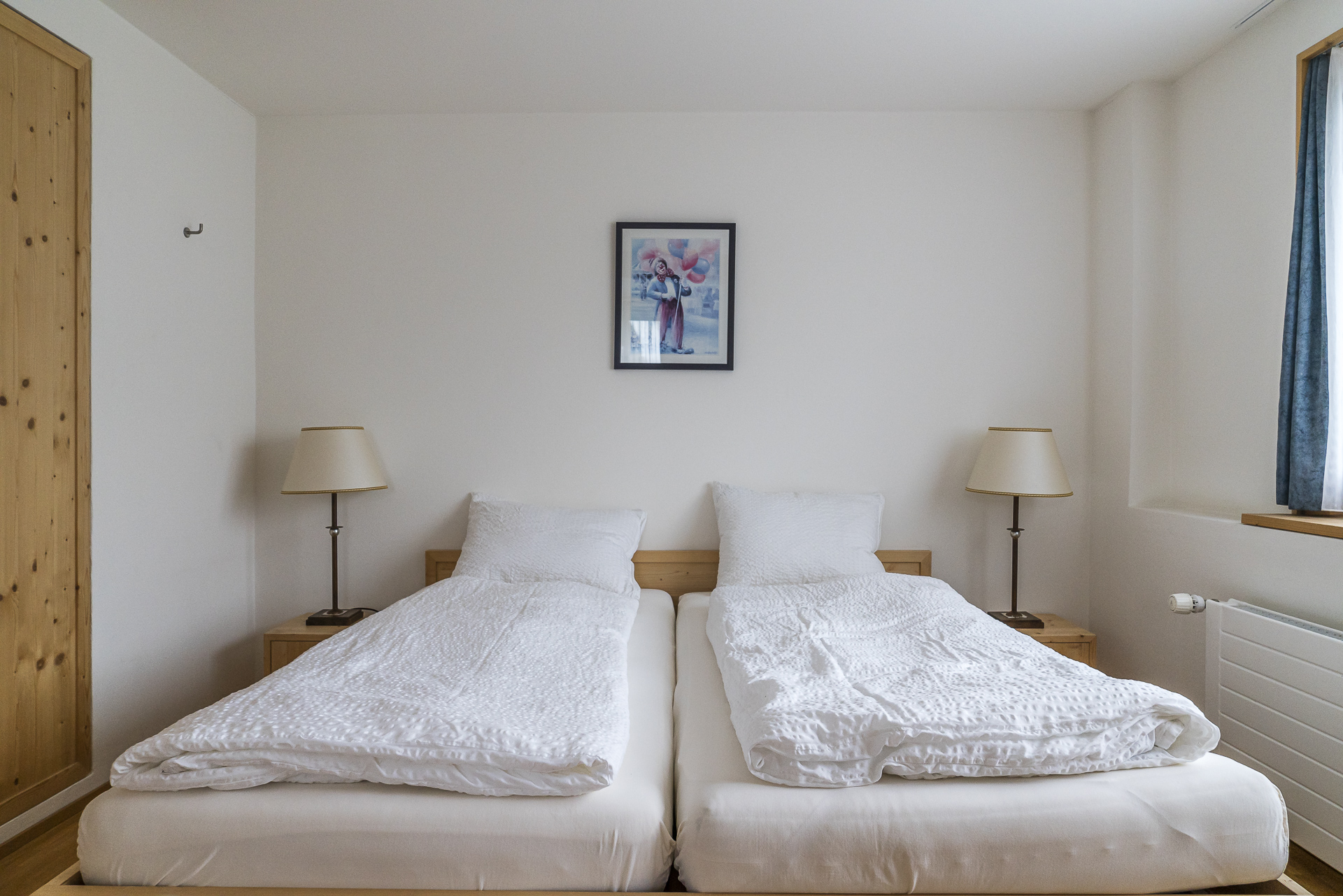
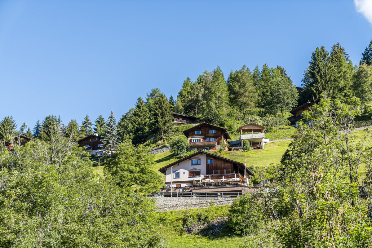
Now we are strengthened for the last meters of altitude of the day. Just in time with the onset of rain, we reach our stage destination – the Hotel Restaurant Pagigerstübli at 1,300 metres above sea level.

Key data of the 1st hiking stage
| Starting point | Chur railway station (580 m above sea level) |
| Reachability | accessible by public transport |
| Length | 14.3 kilometres |
| Elevation gain | ↗ 1,150 m 400 m ↘ |
| Duration | 5:00 p.m. |
| Destination | Pagig (1,335 m above sea level) |
| Catering | Gassa Beizli Calfreisen / Restaurant Pasunna Castiel |
Day 2: through the wild Frauentobel to Langwies
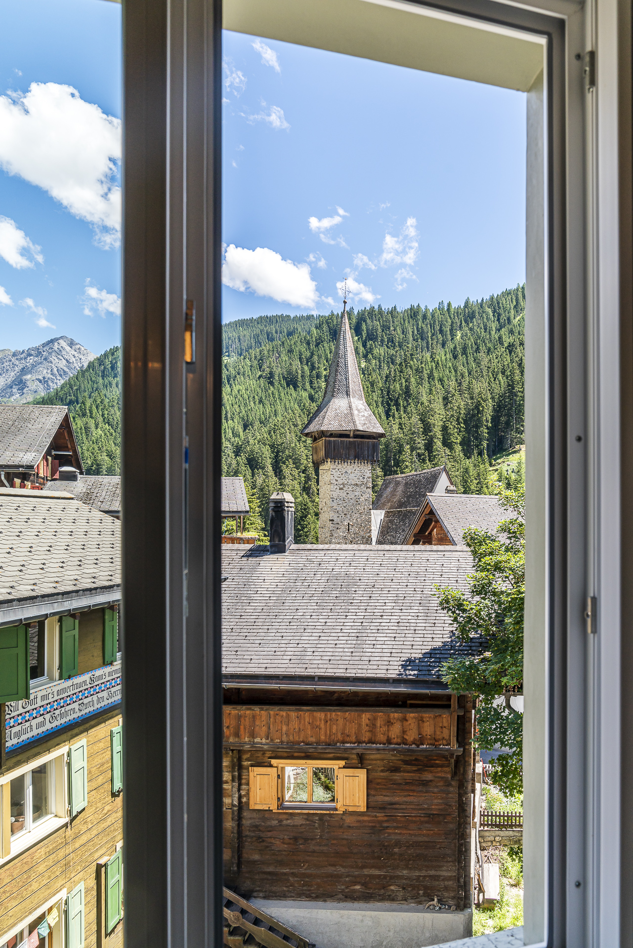
The Hotel Restaurant Pagigerstübli is a cosy, beautifully situated accommodation on the Schanfigg Village Trail. From our room we have a wonderful view of the opposite side of the valley. And in the evening, the restaurant fills up with locals – always a good sign!
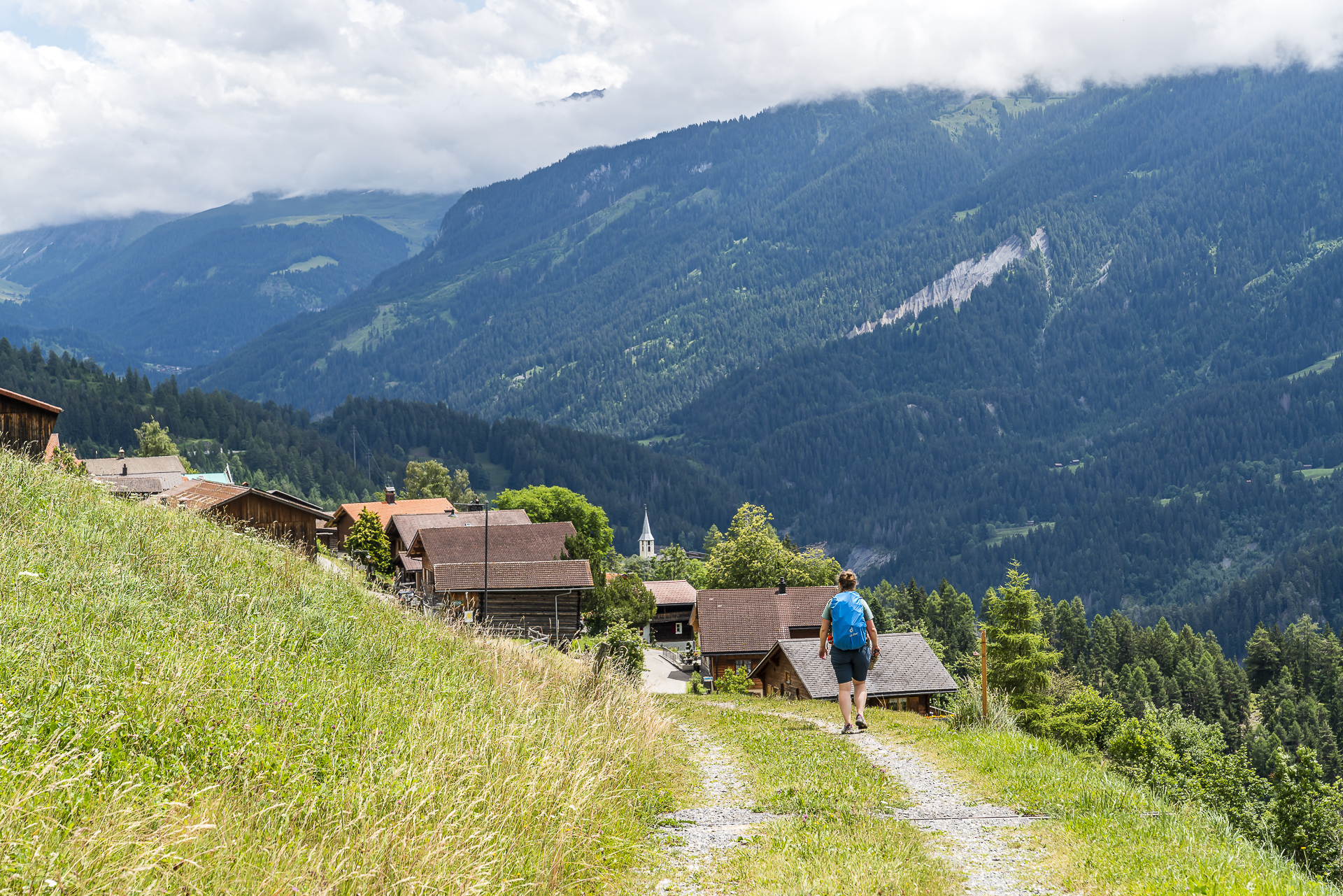
The next morning we are greeted by a bright blue sky. Perfect hiking weather! After breakfast, we shoulder our backpacks and set off with a last look back at the Pagigerstübli. But before we follow the village path further up the valley, we take a short detour to the farm shop of the Pudanal organic farm. Among other things, products from the organic garden Schanfigg are also sold there.
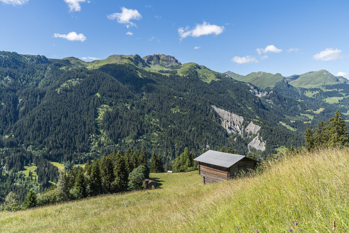
Today we can expect a much less strenuous stage than the day before. That’s probably why we pay less attention to the route. After we first make rapid progress and soon reach the highest point of the tour at Fatschel at over 1,500 meters above sea level, we catch the wrong turnoff in Peist and cross the village towards the train station. Only shortly before the train station, which is 100 meters lower than the village center, does the whole thing seem a bit strange to me. Well. We take it sporty and treat ourselves to a cool drink in the Prima village shop for refreshment.
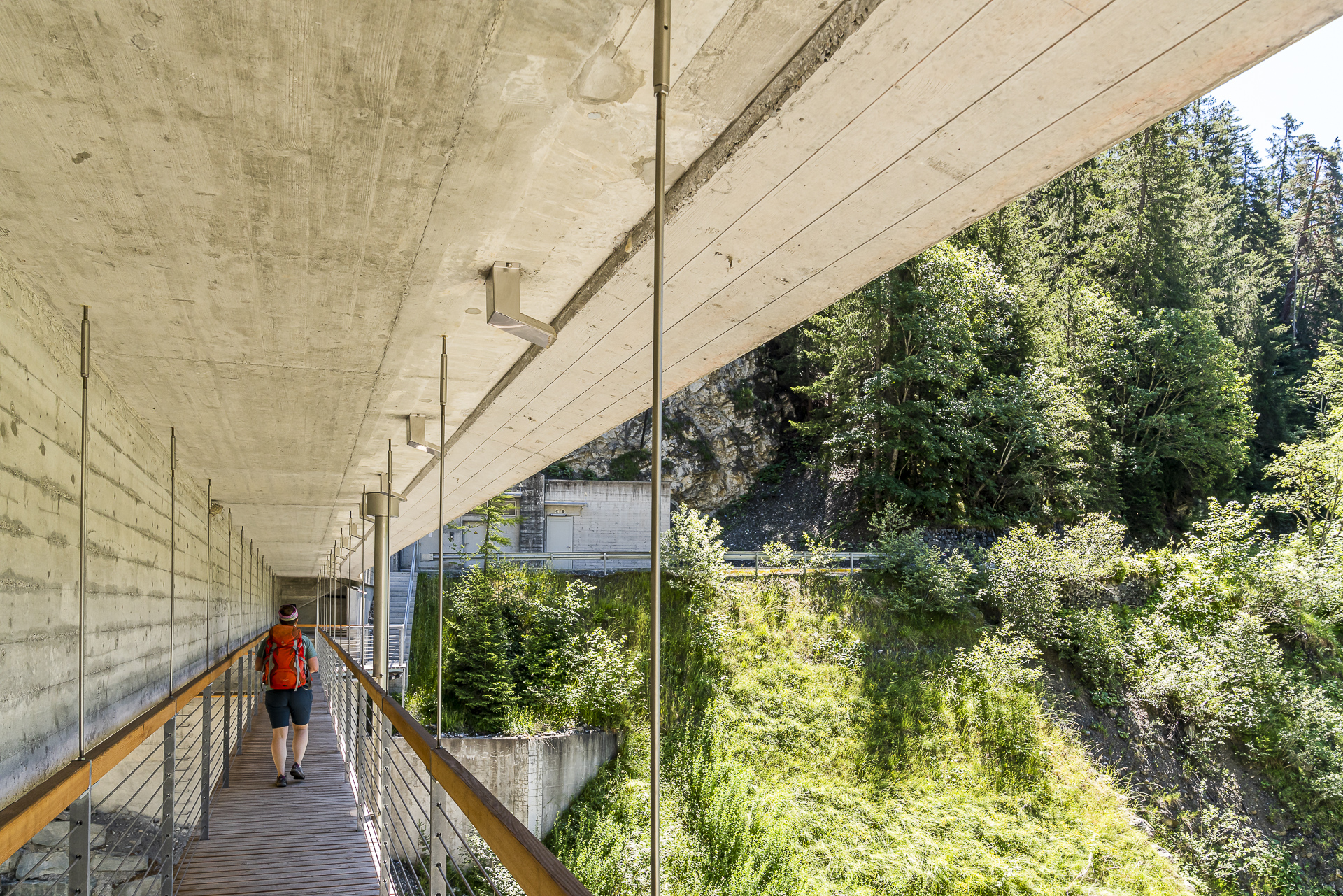
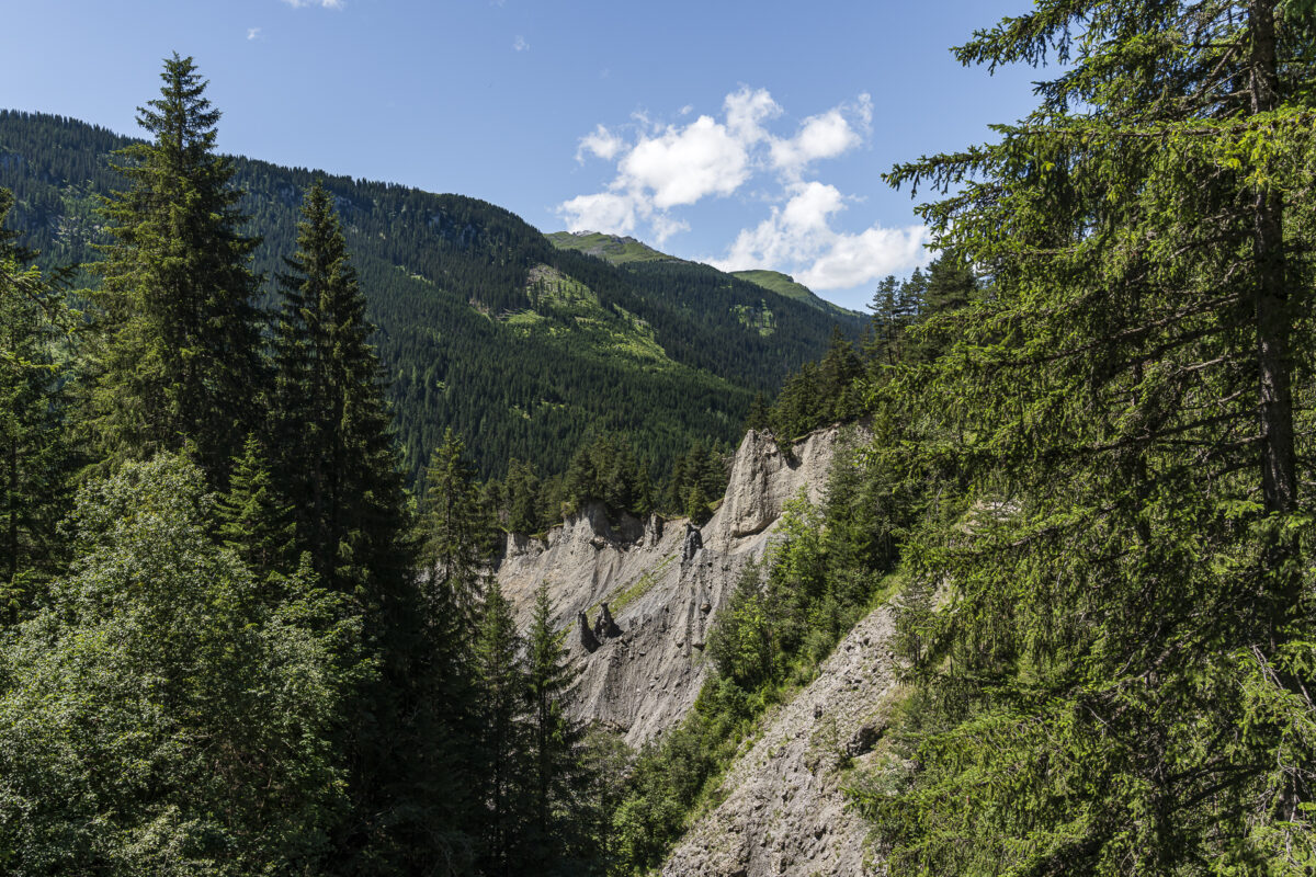
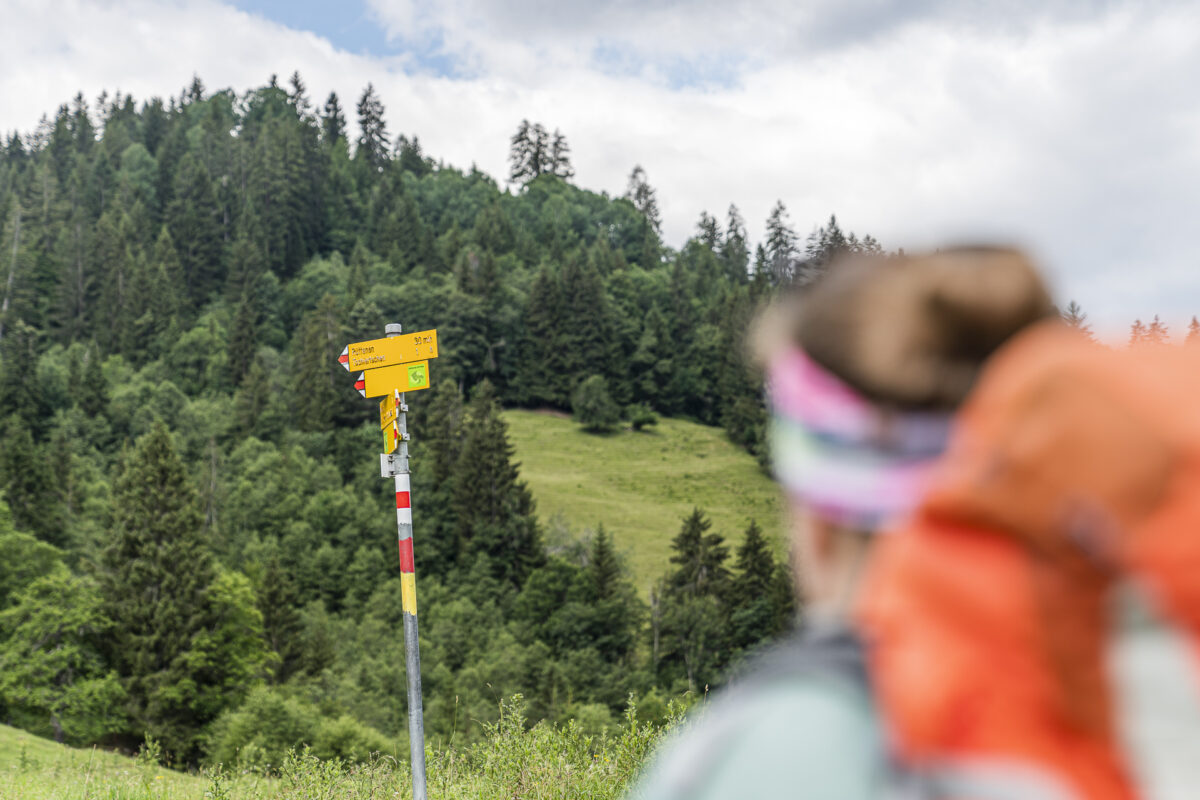
So you are forewarned: Pay close attention to which green signet you follow in Peist (there is actually one in the direction of the train station, but this is for those who hike the village path in the opposite direction or towards the opposite side of the valley). On the following section of the trail, it is also worthwhile to be a little more careful with regard to the route. The path between Peist and Langwies through the Frauentobel has been rebuilt and is therefore not yet included in all maps.
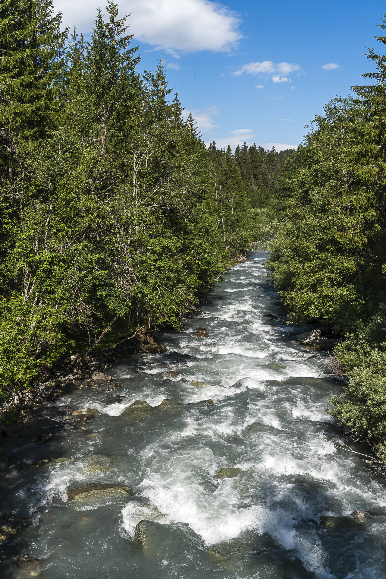
You will also find an additional “warning sign” at the signposting, which informs you that steep, sloping passages follow on this section of the trail and that good shoes must be worn. This “warning” refers to a short section immediately after crossing the Frauenbach. Where the Arosa road dives into a tunnel, the hiking trail leads a bit over the old road and then “bypasses” a slippery slope over a steep section. From a geomorphological point of view, it’s a very interesting game – but as noted, provided you feel comfortable on more sloping paths.
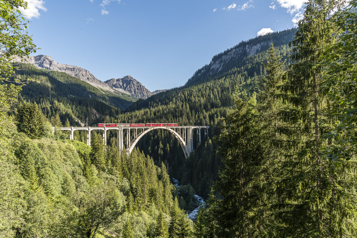
On the last 1.5 kilometres, the hiking trail follows a tarred side road to Langwies train station. The final panoramic view of the impressive Langwieser Viaduct puts us in a mild mood with this rather unattractive section of the Dörferweg.
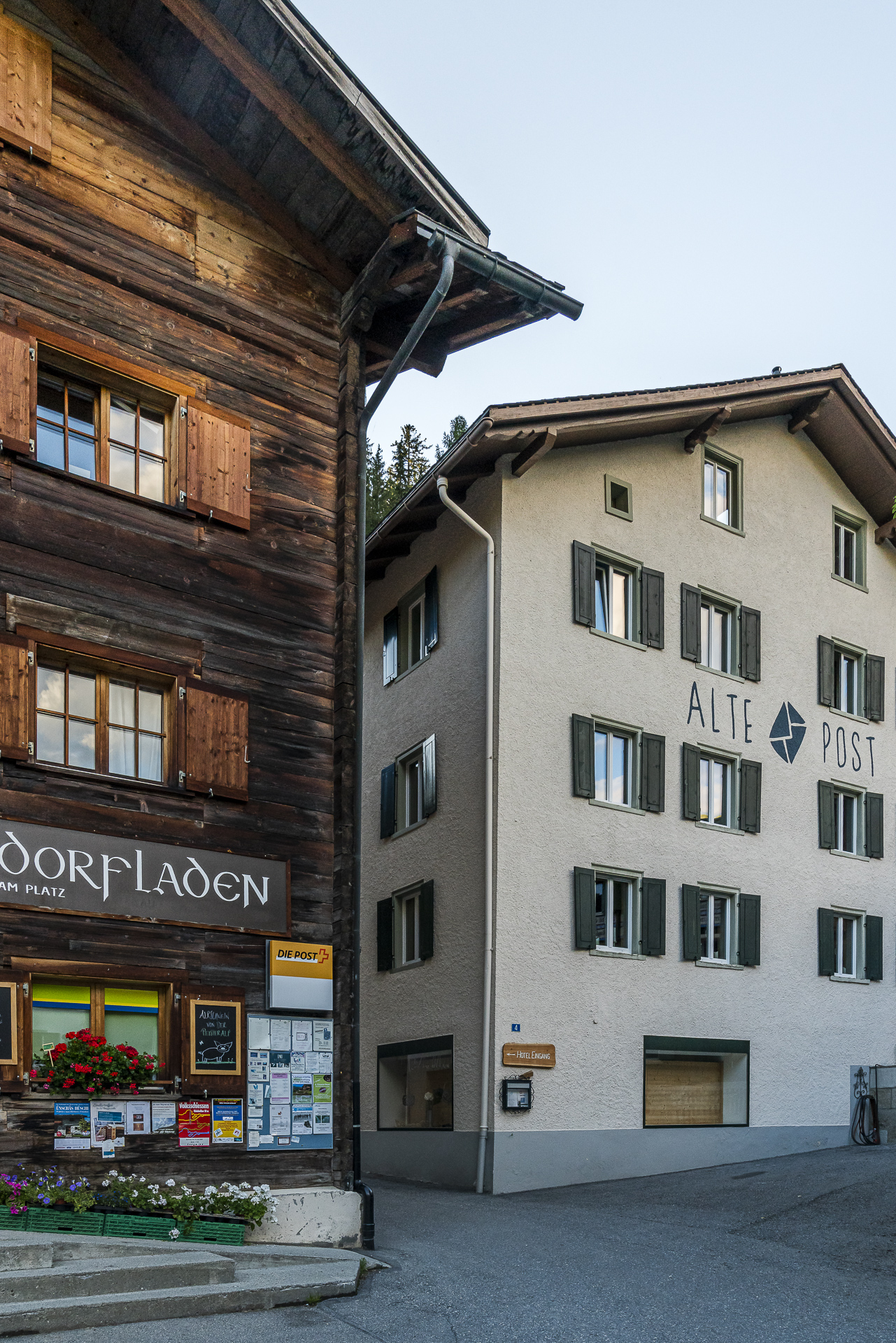
In Langwies, we check in at the “Alte Post” guesthouse and then explore the pretty village centre. The Gasthaus Edelweiss is a recommended place to stop for a bite to eat directly on the opposite side of the street. Alternatively, you can stock up on valley products for a picnic in the village shop.
Key data of the 2nd hiking stage
| Starting point | Pagig (1,335 m above sea level) |
| Reachability | accessible by public transport |
| Length | 9 kilometers |
| Elevation gain | ↗ 610 m 570 m ↘ |
| Duration | 3:30 p.m. |
| Destination | Langwies (1,375 m above sea level) |
| Catering | Great village shop in Peist |
Day 3: on the other side of the valley back to Chur
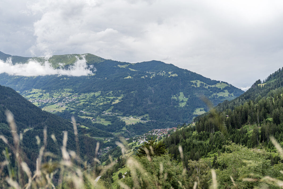
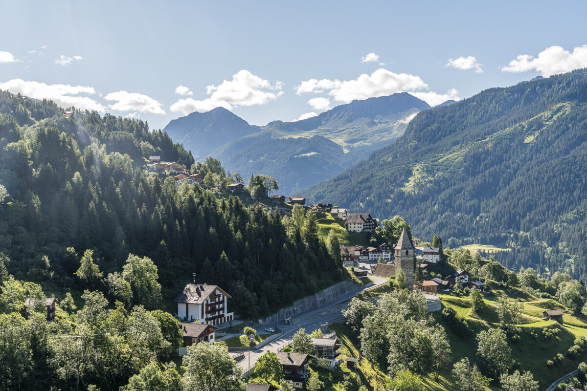
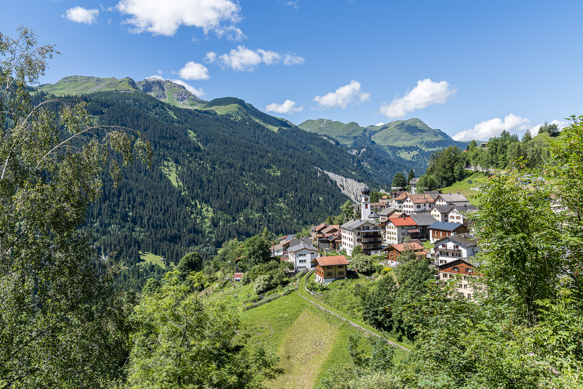
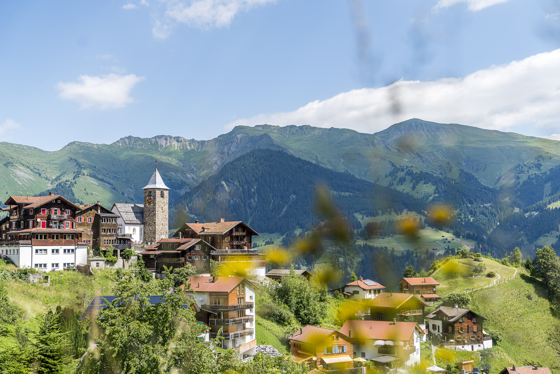
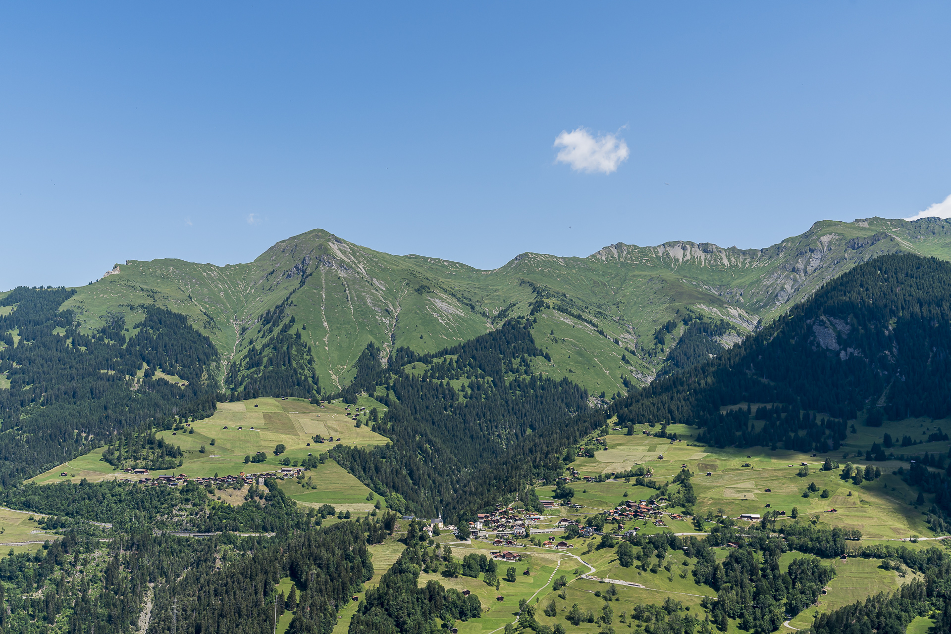
From Langwies, the village trail continues up the valley via Litzirüti to Arosa. On the third day of hiking, however, we would like to take a look at the opposite side of the valley and take the Rhaetian Railway from Langwies one stop back to Peist. We already know the train station from our detour from the day before. Today, however, we are in the right place here and follow the signs to Molinis. Molinis is the only one of the Schanfigger villages that is not located on a hillside terrace, but down in the valley floor directly next to the Plessur.
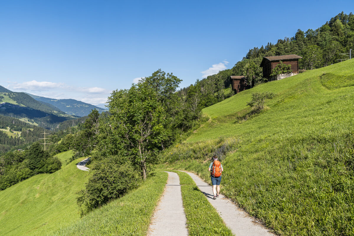
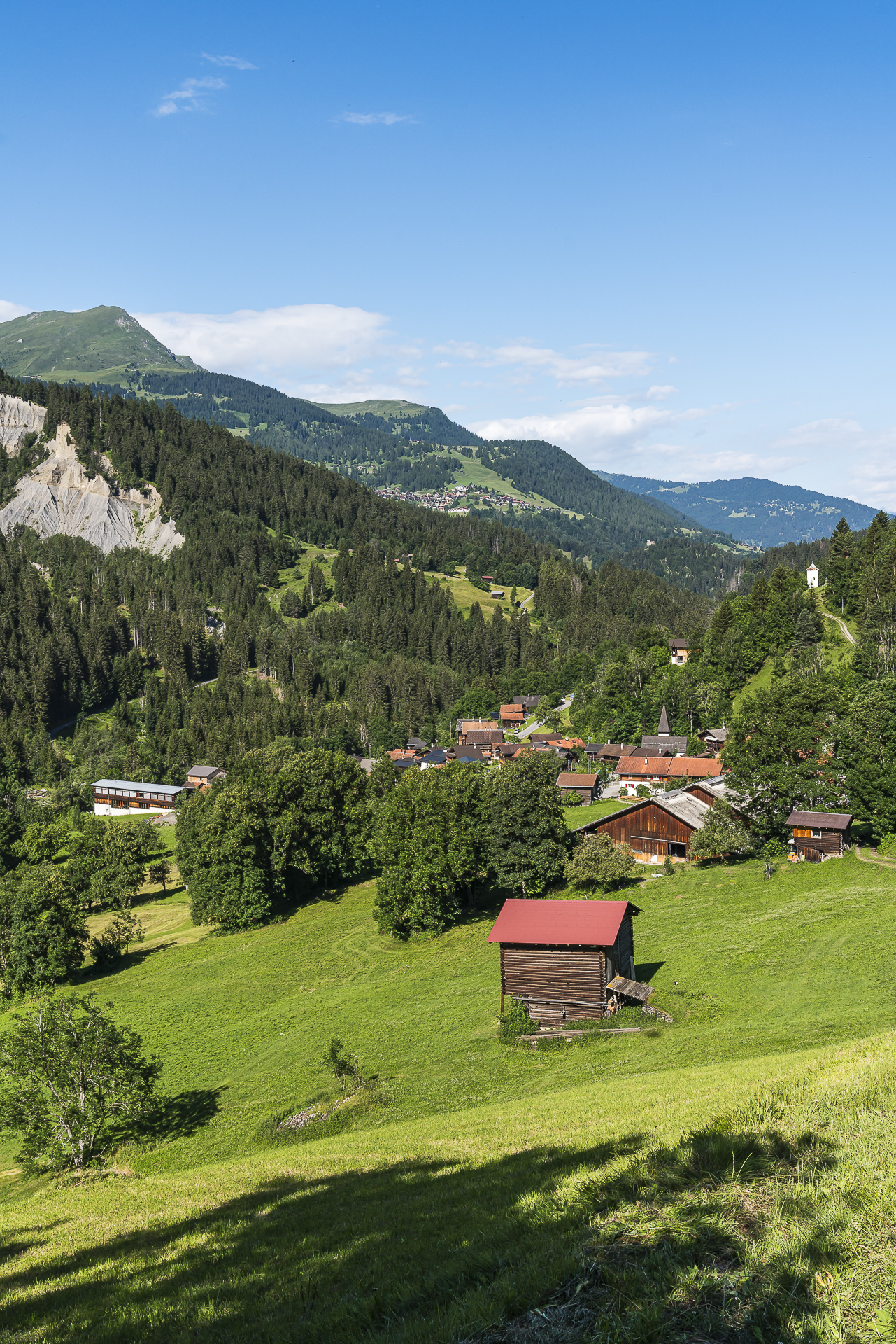
We cross the mountain stream and then climb back up to the hills via meadow and forest paths. The view of the pretty scenery of Tschiertschen – one of the more touristically known villages of the Schanfigg – is the reward for the sweaty ascent. Refreshment stops are available both on the valley floor down in Molinis (Postbeizli) and here in the sun-drenched Tschiertschen.
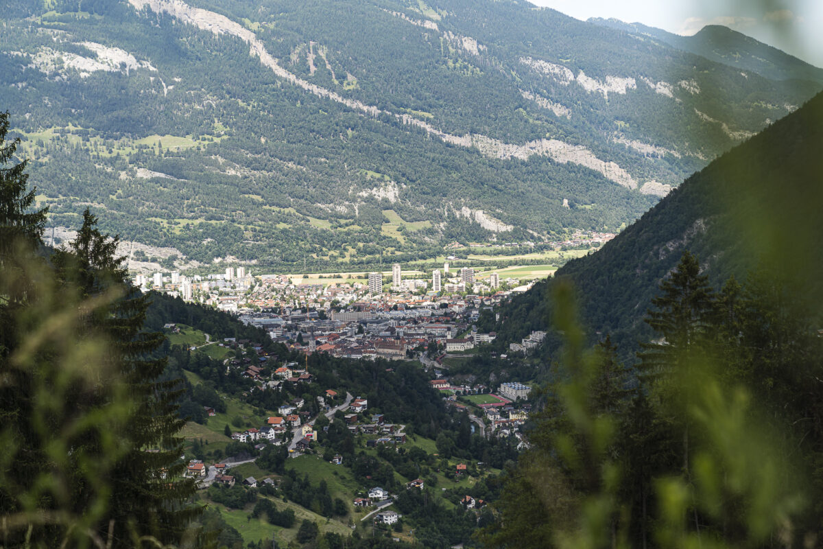
The “duty” for today has been accomplished with the invasion of Tschiertschen. Now follows the two-hour descent to Passugg. An entertaining, brisk route that offers a completely new perspective on the valley landscape of the Schanfigg.
Key data of the 3rd hiking stage
| Starting point | Peist railway station (1,245 m above sea level) |
| Reachability | accessible by public transport (stop on request) |
| Length | 14.5 kilometres |
| Elevation gain | ↗ 690 m 1,025 m ↘ |
| Duration | 4:45 p.m. |
| Destination | Postbus stop Passugg, Abzw. Grida (920 m above sea level) |
| Catering | Restaurant Postbeizli Molinis as well as various refreshment stops in Tschiertschen |
Practical tips for your hike on the Schanfigg Village Trail
- The Schanfigger Village Trail leads through altitudes between 600 and 1,800 metres above sea level. The majority of our tours are between 1,000 and 1,500 metres above sea level and can therefore be done from the end of May to the end of October.
- Double rooms in the Pagigerstübli (with toilet/shower in the room) cost from 105 CHF per person including half board.
- In the Pension Alten Post in Langwies there are 10 double rooms with shared showers/WC. In the summer season, a double room costs CHF 72.50 per person for an occupancy of two people.
- Not all villages are equally well served by public transport. In some places there is only an irregular bus connection – in other places you have an hourly train connection to Chur/Arosa. Therefore, consult the current connections in the SBB timetable in advance.
- Plan enough time for a stop at one of the broom pubs or a picnic break at one of the village fountains. The charm of the Village Trail lies, among other things, in immersing yourself in the village culture and way of life of the local population.

Leave a Reply