

Elsighorn back: crisp circular hike with summit happiness
Elsighorn back: crisp circular hike with summit happiness
Advertising: this article was created in cooperation with Elsigenalpbahnen AG
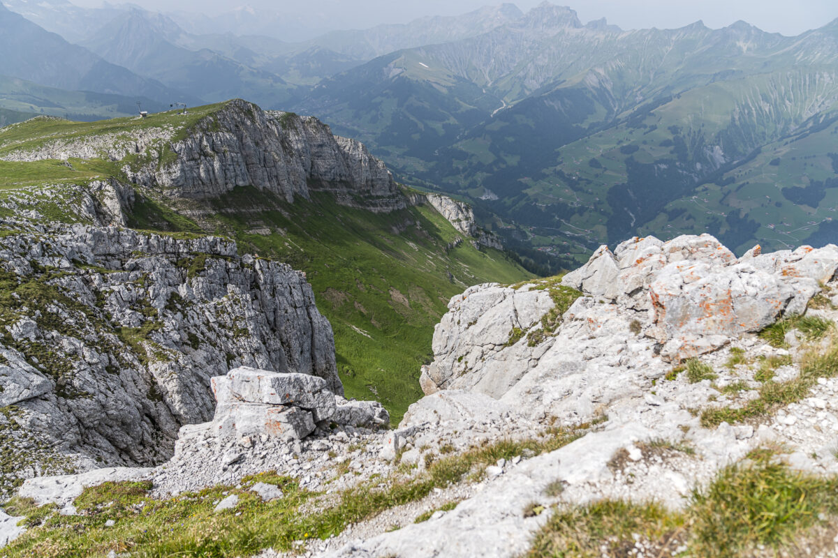
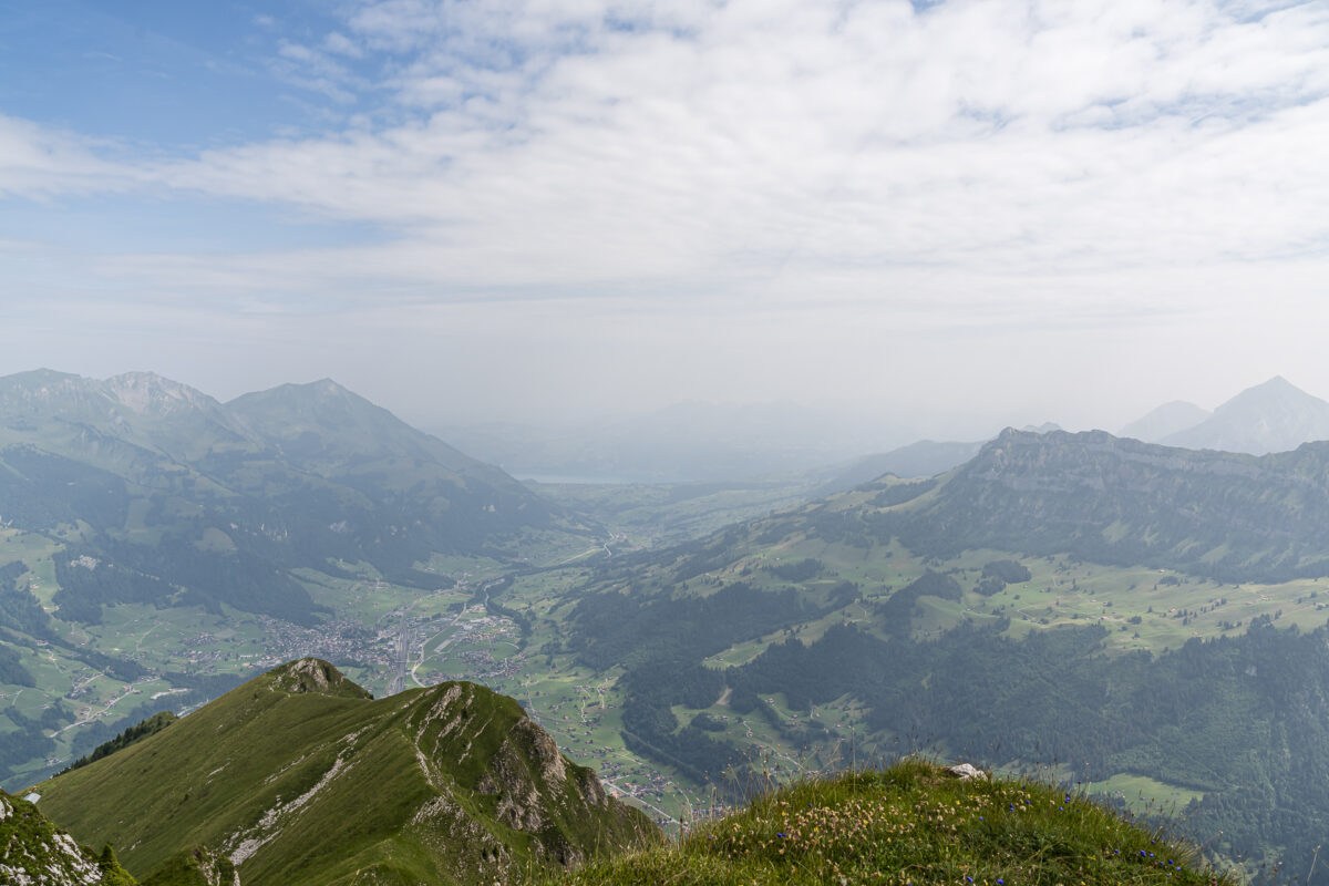
The Elsighorn at 2,340 metres above sea level offers a tremendous mountain panorama. The panoramic view of the Bernese mountain scenery can be worked out with an entertaining half-day tour, which starts and ends on the Elsigenalp. The ideal hike for all those who are not afraid of a few meters of altitude, but do not want to exhaust themselves completely for the moment of summit happiness.
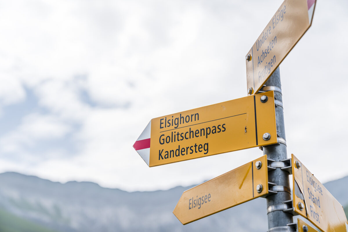
From the Elsigenalp to the Elsighorn
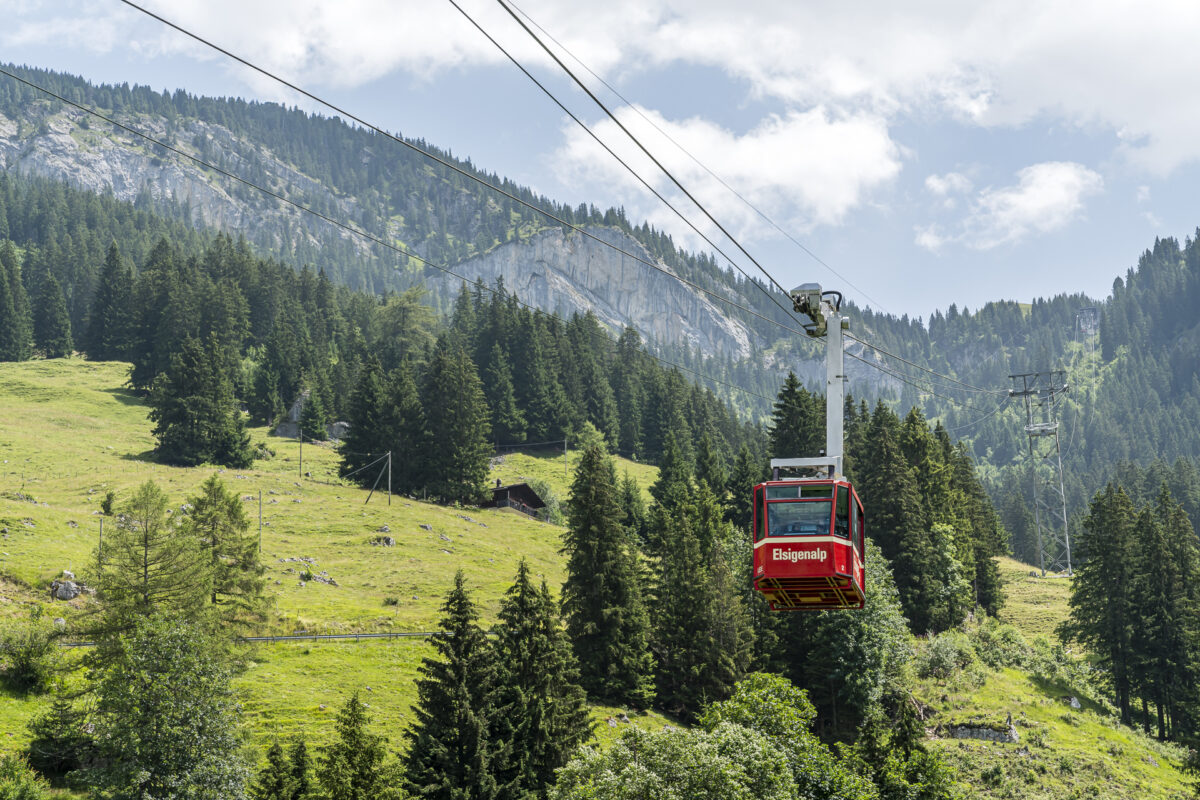
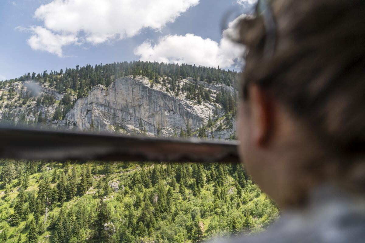
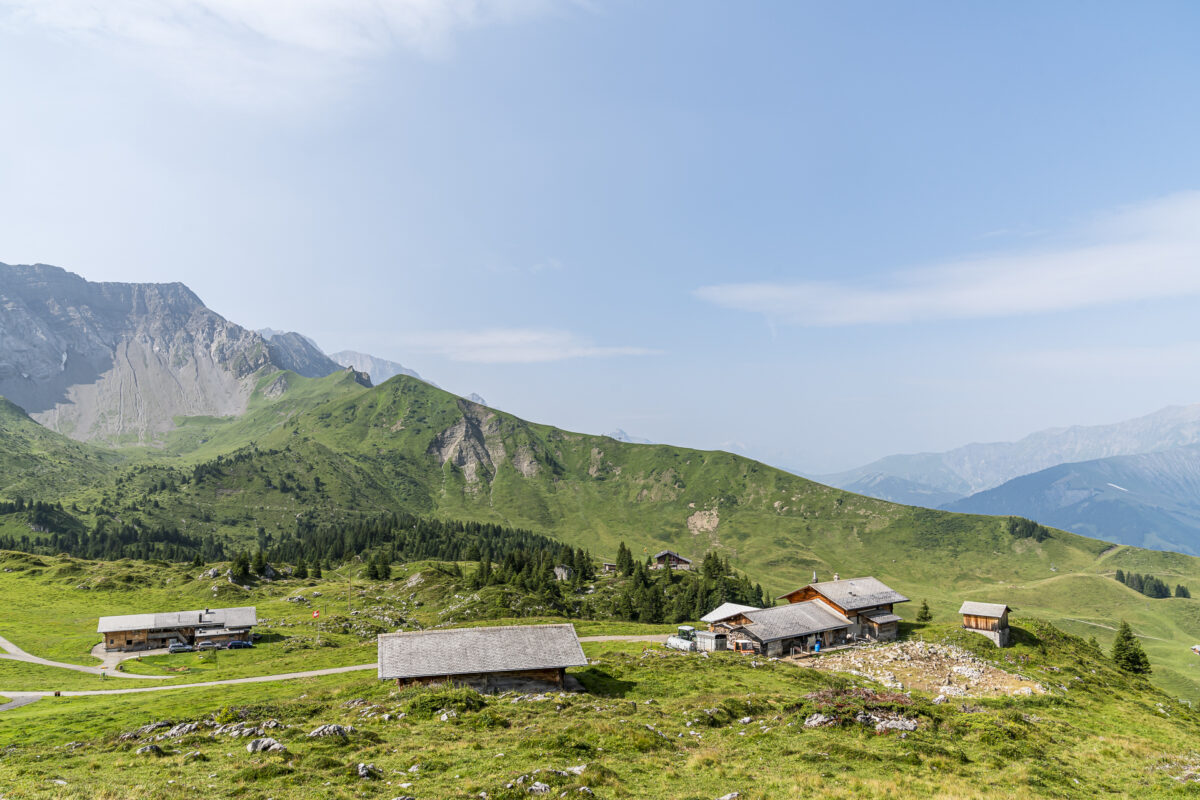
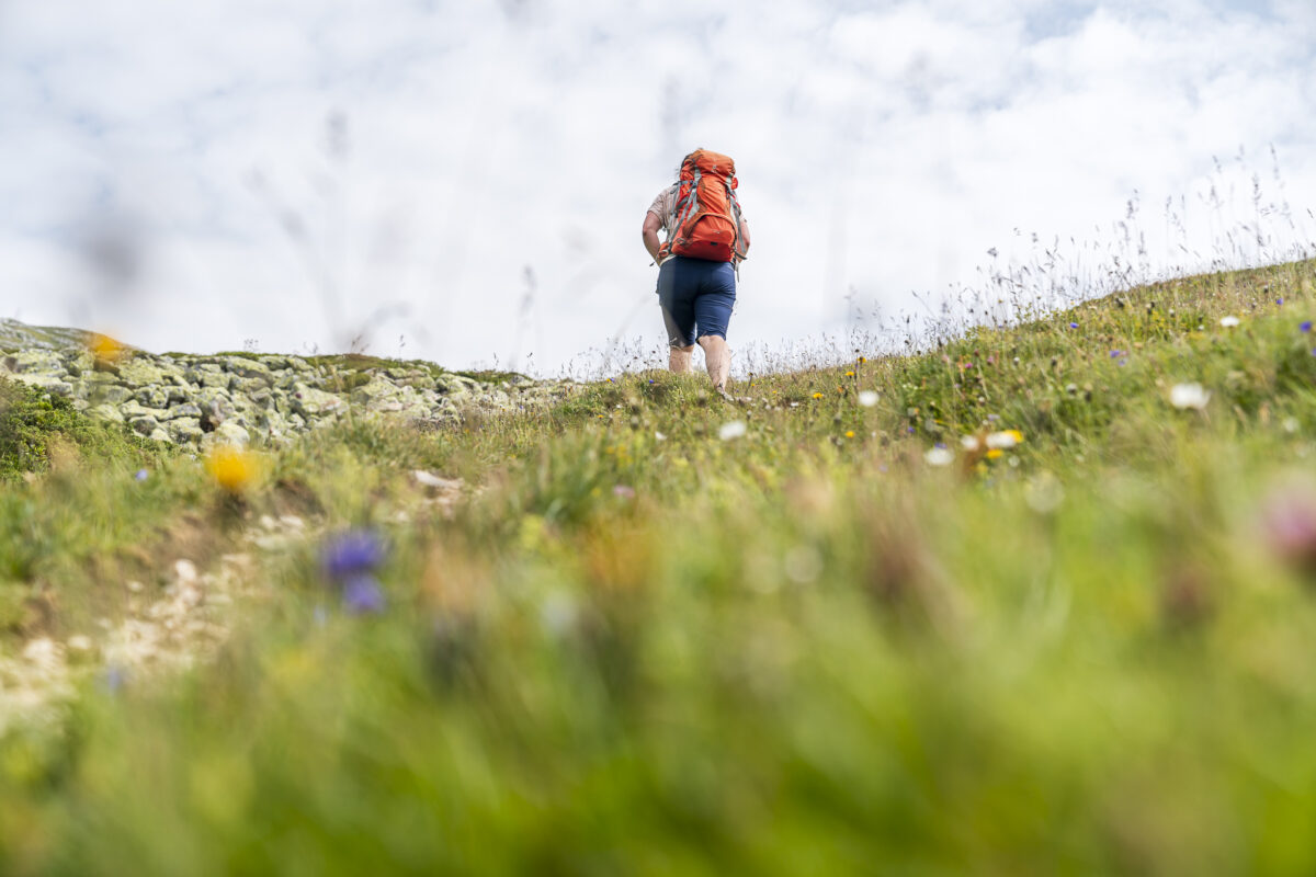
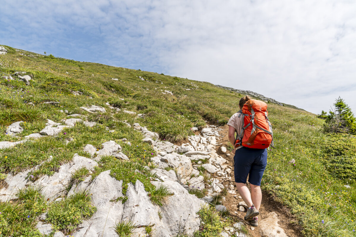
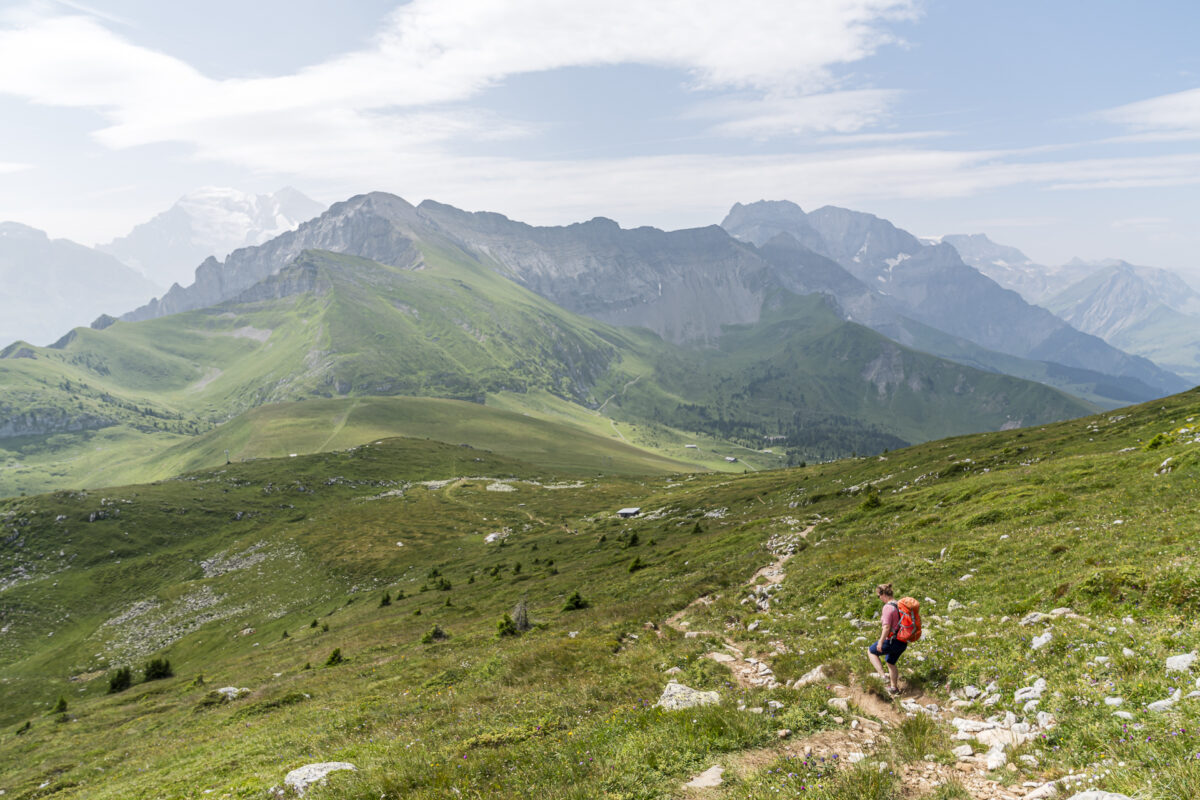
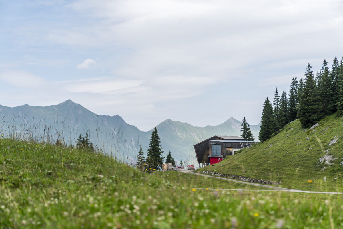
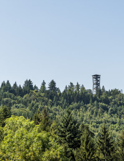
Thanks to the Elsigenalp cable car, the first metres of altitude can be comfortably covered by cable car. From Elsigbach to the mountain station, we climb 450 metres in altitude with the red gondola. From the gondola you can also see the striking climbing rocks that stretch along the northwestern foothills of the Elsighorn. Once you arrive at the Elsigenalp, the ascent to the Elsighorn is signposted at 1:30 h. We lace up our shoes, shoulder our backpacks and march motivated towards our destination, which is about 550 meters higher.
Crisp ascent…
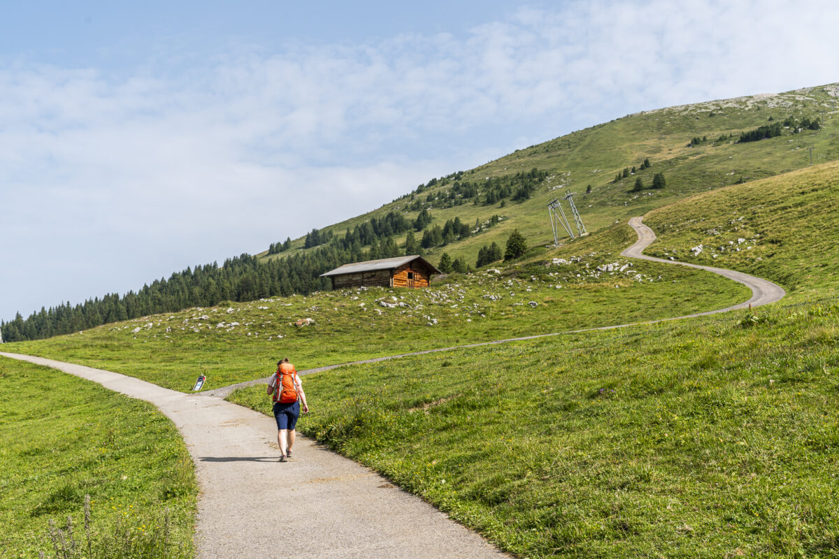
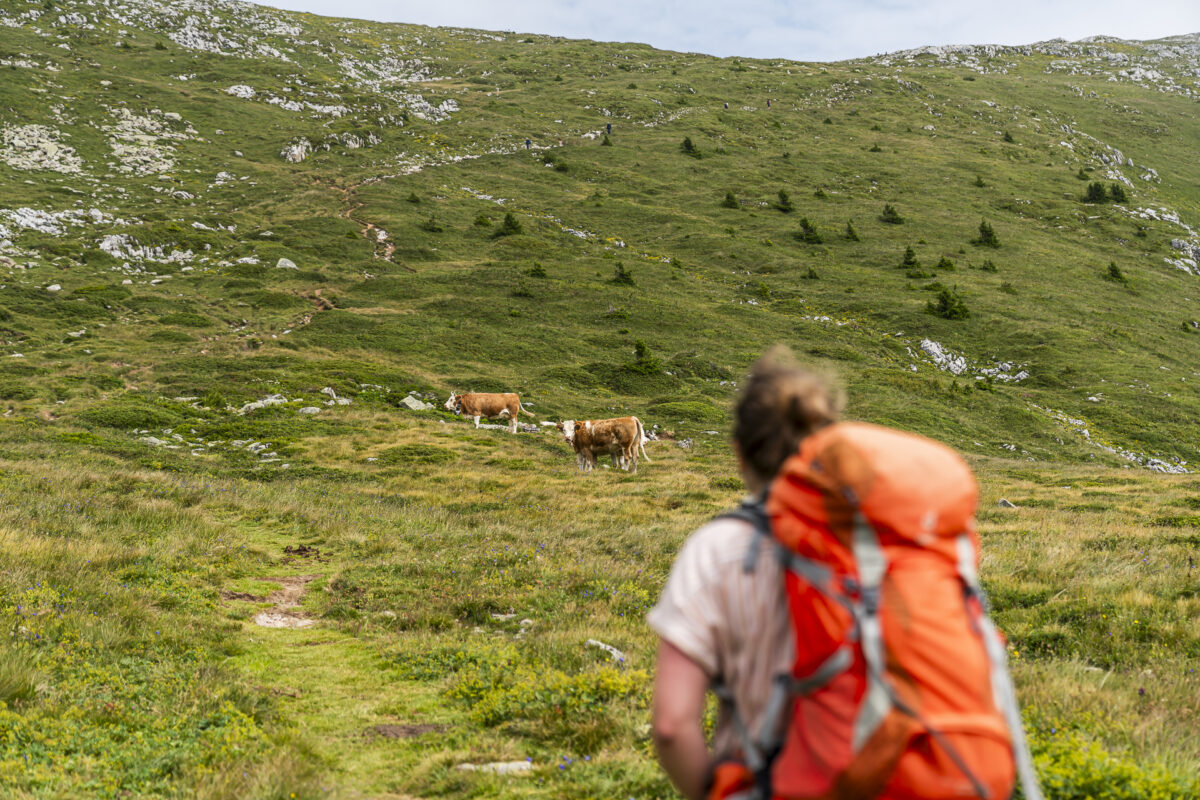
The ascent to the Elsighorn is not technically difficult. In the first section, the hiking trail follows a tarred road that winds its way up to the “Obere Elsige” in wide loops. Not the most attractive route, but you make quick progress. At the valley station of the “Elsighorn” T-bar lift, the hiking trail branches off onto the alpine pastures and leads us further and further uphill past peacefully grazing cows.
… with a great panorama
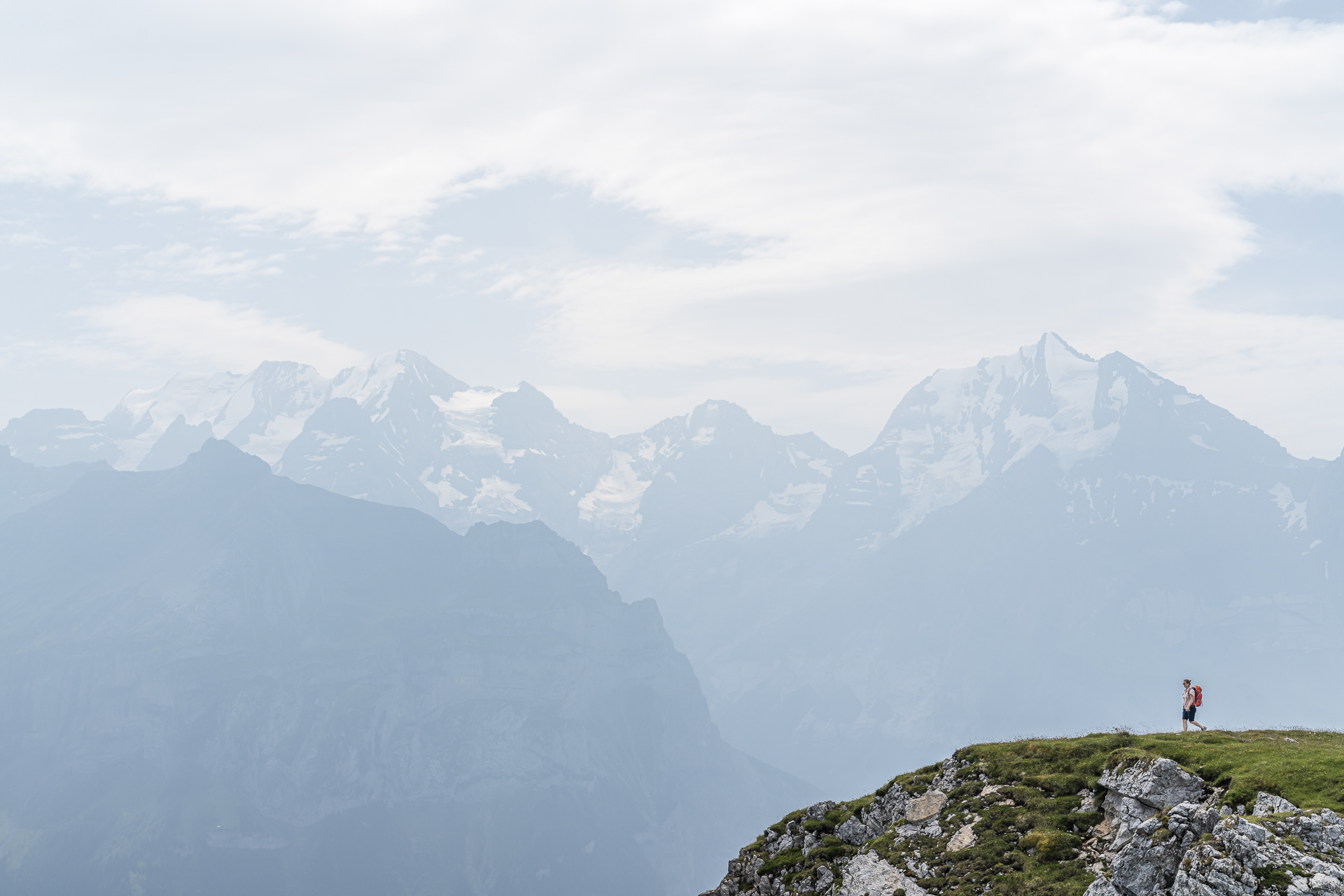
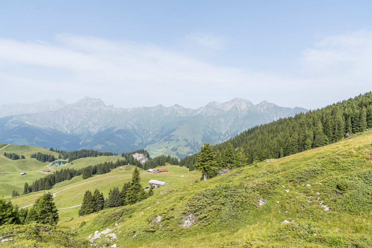
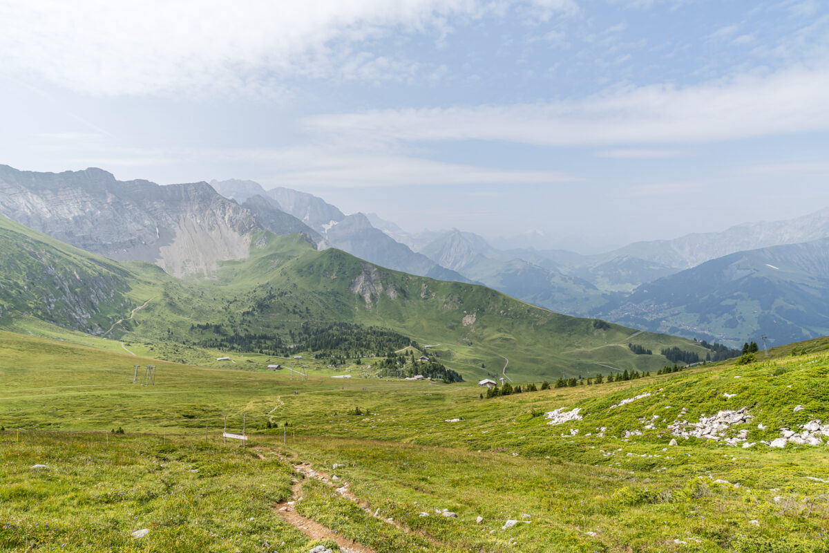
With the Elsighorn as your goal, you should not miss the opportunity to pause occasionally and look back on the path you have already completed. The view is already great here.

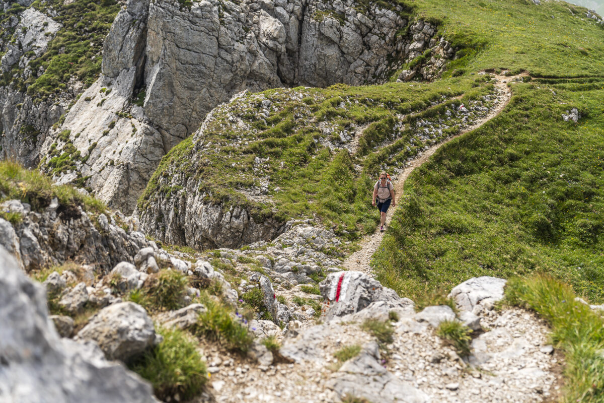
In the upper third, the path becomes rockier. However, only the last few meters up to the summit cross of the Elsighorn are exposed (but not technically difficult). If you don’t feel comfortable in exposed places, it’s better to skip this last stretch and sit comfortably on the grass below the summit.
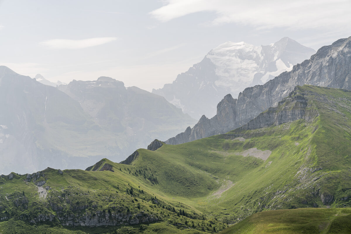
Whether at the top of the summit cross or a few metres further down the road: the panorama is magnificent and proof that you don’t always have to go particularly high for an all-round view. The Elsighorn is simply placed at a perfect distance from the neighbouring imposing three-thousand-metre peaks.
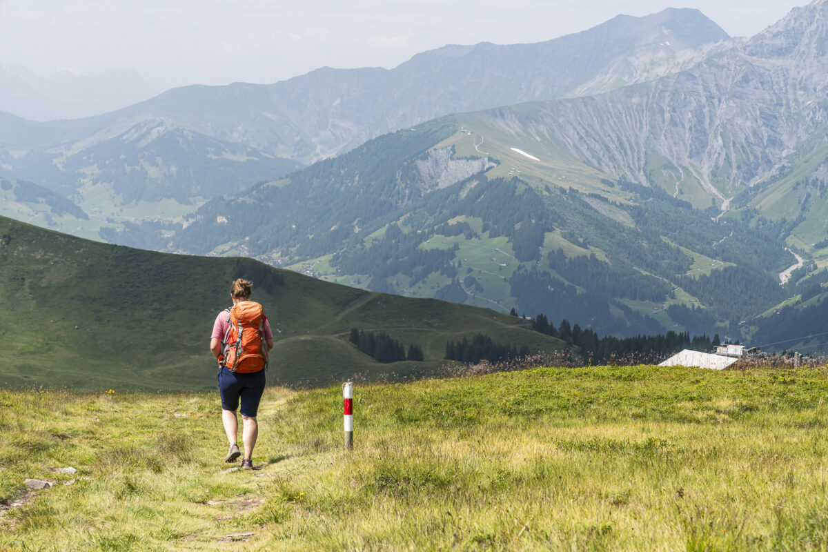
And the same way back to the Elsigenalp
We return the same way as we ascended. This offers the advantage that all those who did not stop during the ascent can now also enjoy the view towards Adelboden. If the Elsigsee has water (check the daily tip on the Internet), it is worth taking the loop to the idyllically situated Bergseeli on the way back.
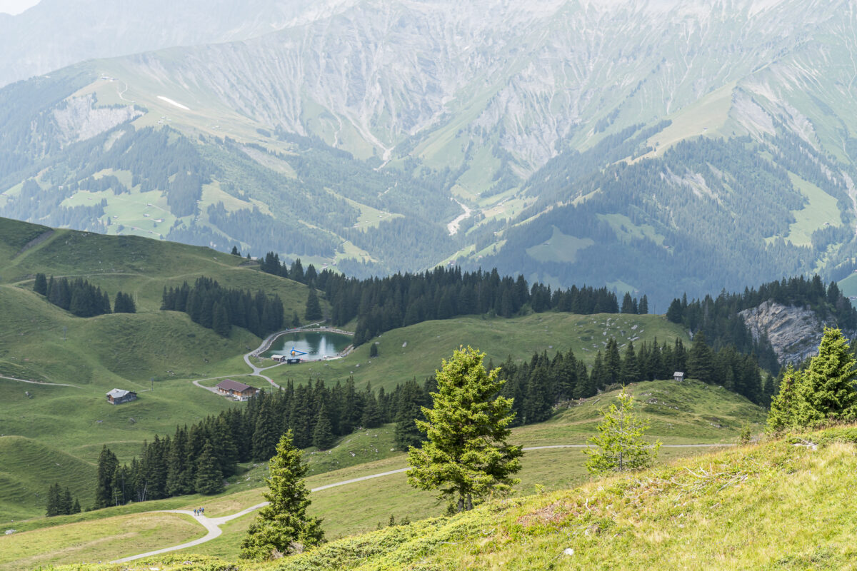
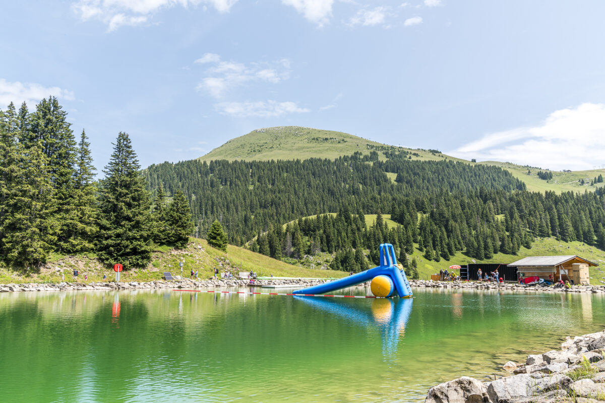
Well-deserved end to the day on the alpine beach Brandsee
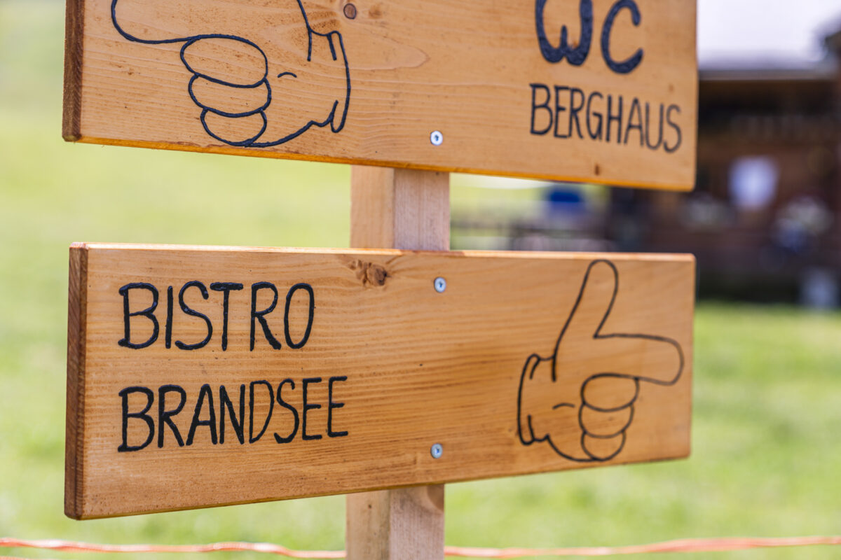
Back on the Elsigenalp, I would definitely recommend a short detour to the Brandsee. In summer, the reservoir is converted into an “alpine beach”. In addition to a small bistro, which is open until the end of the season when the weather is nice, there are several fireplaces with wood on the shore. In addition, SUP boards with paddles and life jackets can be rented. So don’t forget to pack your swimsuit. A leisurely end to the hiking trip is guaranteed here.

Key data of the hike Elsigenalp – Elsighorn return
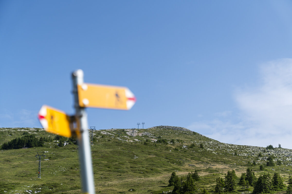
On the following hiking map you can find the route of our hike from the Elsigenalp to the Elsighorn and back. The hike starts and ends at the mountain station of the Elsigenalpbahn. From there, first follow a yellow-marked hiking trail. From the junction at Obere Elsige, it is a white-red-white marked mountain hiking trail (difficulty T2). The route measures a good 6 kilometres and it is recommended to allow for a hiking time of around 2.5 to 3 hours (without breaks).
| Starting point | Elsigenalp mountain station (1,797 m above sea level) |
| Reachability | Accessible by public transport |
| Length | 6.6 kilometres |
| Elevation gain |  547 m 547 m 547 m 547 m  |
| Duration | 2:45 h |
| Destination | Elsigenalp mountain station (1,797 m above sea level) |
| Catering | When the weather is nice: Bistro at the Brandsee alpine beach, as well as Berghaus Elsigenalp (again from 2024) |
Practical tips for your hike from the Elsigenalp to the Elsighorn
- The cable car to Elsigenalp is in operation in summer from the end of May to mid-October. Information on travel times and ticket prices can be found on the Elsigen-Metsch website. The hike to the Elsighorn is also ideal as an autumn hike.
- Note that the bus connection from Achseten Kirche to Achseten Elsigbach (connection towards Frutigen) is an on-demand bus. A reservation by phone is required. As a rule, however, you can also register at the mountain station and point out that you would like to take the connecting bus (travel times according to the SBB timetable).
- The stopover at the Brandsee is not only worthwhile after the “ascent” of the Elsighorn. The swimming lake is also a great destination for a family outing or for anyone else who simply wants to spend a relaxing afternoon in nature.
- The bistro on the alpine beach is only open when the weather is nice. If the bistro is closed, you can rent the SUPs at the mountain station of the Elsigbach-Elsigenalp cable car.
- You can find more hiking tips starting in Elsigenalp here: Panorama hike from Elsigenalp to Frutigen and the mountain hike from Kandersteg over the Golitschen Pass to Elsigenalp – by the way, this can also be combined well with an ascent to the Elsighorn.
Leave a Reply