

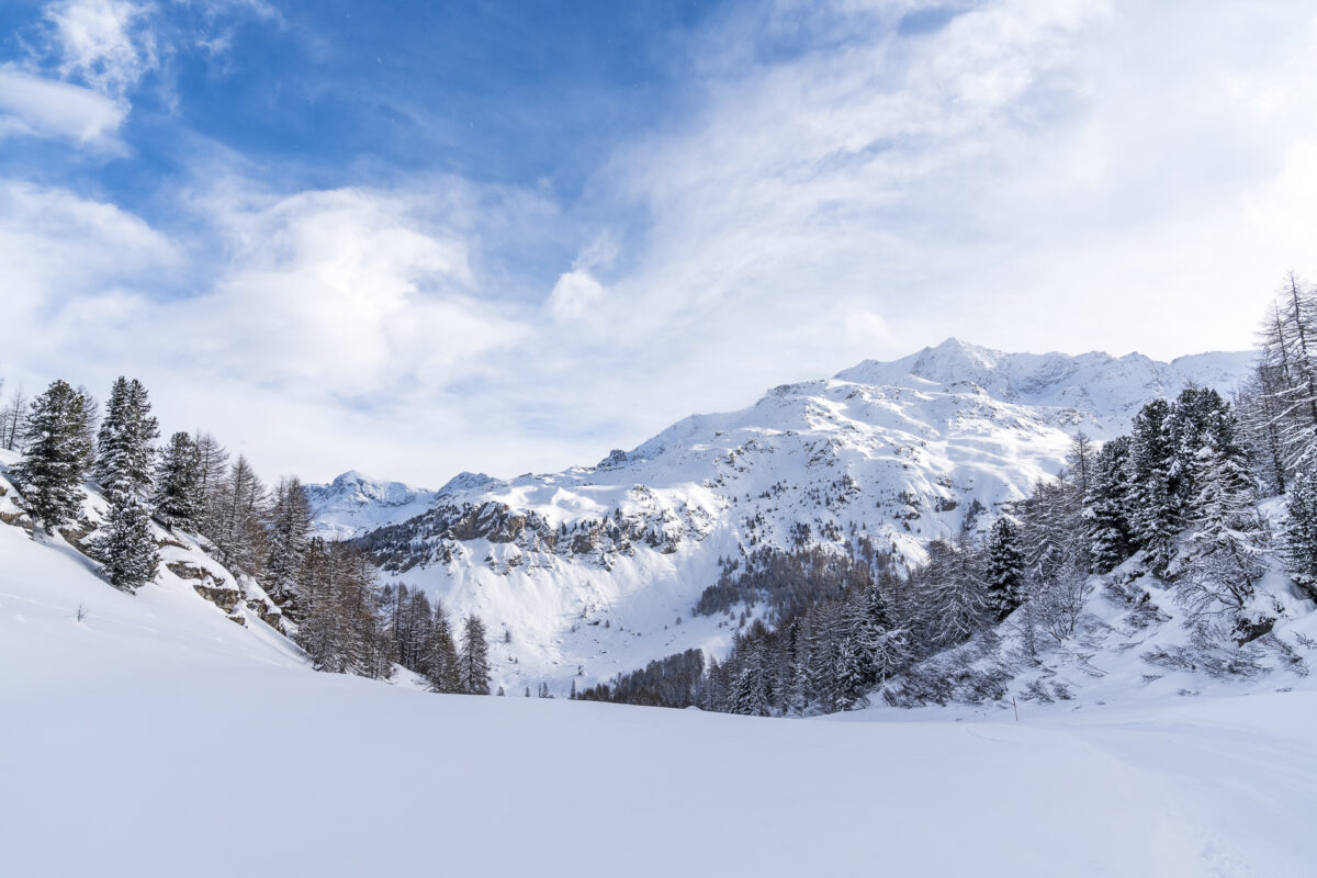
5 beautiful snowshoe trails & winter hiking trails in the Engadine
It definitely doesn’t always have to be skiing – I’ve been out and about in the wintry Engadine several times in recent years and surprisingly rarely found on the slopes. Rather, the wide range of beautiful winter hiking trails and diverse snowshoe trails tempted me to discover the Engadine expanse on foot. From the panoramic snowshoe tour on the Bernina Pass to the classic winter hiking trail through the quiet Fex Valley, I have explored the majority of the signposted routes in recent years and would like to show you five particularly beautiful, varied routes in this article, none of which require a gondola ride.
Snowshoeing and winter hiking in the Engadine and Graubünden – good to know
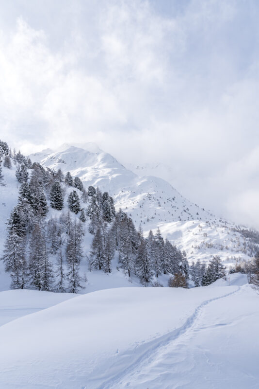
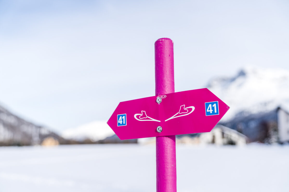
The Upper Engadine lake plateau between St. Moritz and Maloja is criss-crossed by marked winter hiking trails and cross-country ski trails. In between, there is also one or two snowshoe trails. The many different paths and markings sometimes lead to a jumble. On the one hand, there are different categories of routes – from Switzerland Mobility routes to trails that have been certified by the Swiss Snowshoe Association to routes that are staked out by the local tourism organisation. On the other hand, the signalling standard is not uniform.
While the quality of the winter hiking trails is consistently convincing and they are almost completely signposted, there are striking differences in the snowshoe trails. On the one hand, the piste report includes the winter hiking trails, but unfortunately not the snowshoe trails. On the other hand, some routes (e.g. the Plauns snowshoe trail) are unclear/incomplete signposted and sometimes run parallel to the winter hiking trail, where snowshoes are unnecessary. It is therefore advisable to prepare the tours well and, in case of doubt, to ask the respective tourist office for the latest information.
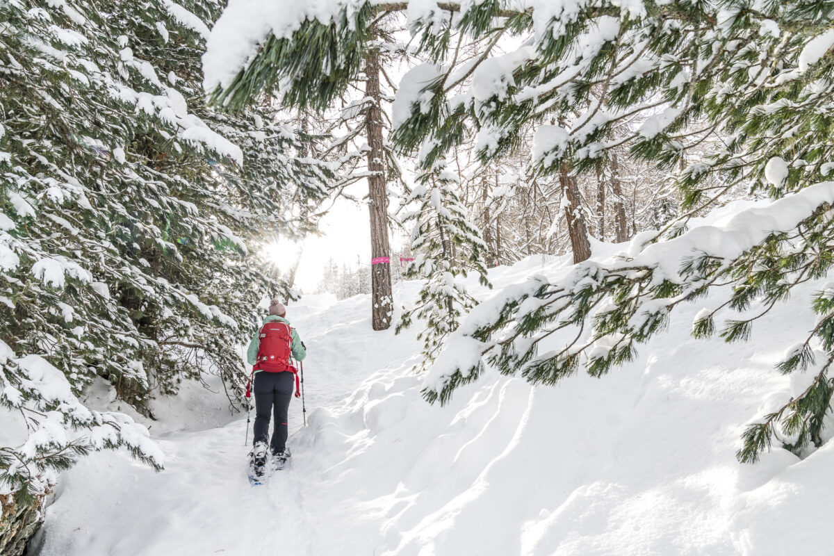
#1 Snowshoeing on the edge of the Fex Valley: Muotta da Güvè
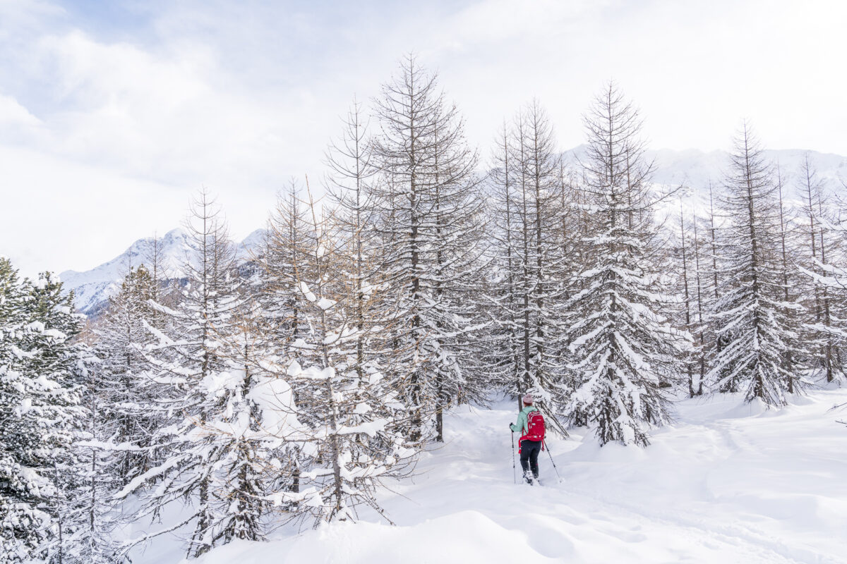
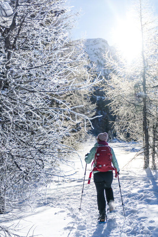
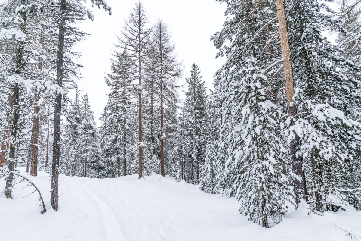
The Muotta da Güvè snowshoe trail (Switzerland-Mobil route number 561) is my favourite snowshoe hike in the Engadine. It can be reached on foot from the village centre of Sils Maria as well as from Sils Baselgia and leads through a hilly terrain structure between Lake Sils and the Fex Valley. Especially on fresh snow days, good, all-terrain snowshoes (I’ve been using the Lightning Trail snowshoes from MSR for several years) come in handy here to find the necessary grip on the ascent through the forest.
After the first section, which leads you uphill through the sparse larch forest, the path leads over the summit of the Muotta da Güvè. Here, the effort is rewarded with panoramic views of the wild Val Fedoz and the neighbouring Fex Valley. On the subsequent descent, snowshoe skills are again required on some steeper passages, before you can end the tour comfortably on the way back to the village center of Sils Maria.
Key data snowshoe trail Muoatta da Güvè
It took us a good two hours for this round (5 kilometers, about 300 meters in altitude). A recommended tour for all those who already have some snowshoe experience. On fresh snow days, there is a good chance that you will be able to enjoy the foretrack.
| Starting point | Sils/Segl Baselgia, Dotturas |
| Reachability | accessible by public transport |
| Length | 5 kilometers |
| Elevation gain | ↗ 300 m 200 m ↘ |
| Duration | 2:15 pm – 2.45 pm |
| Destination | Sils/Segl Baselgia, Dotturas |
| Catering | none |
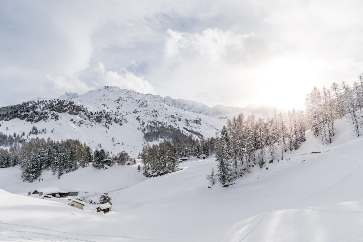
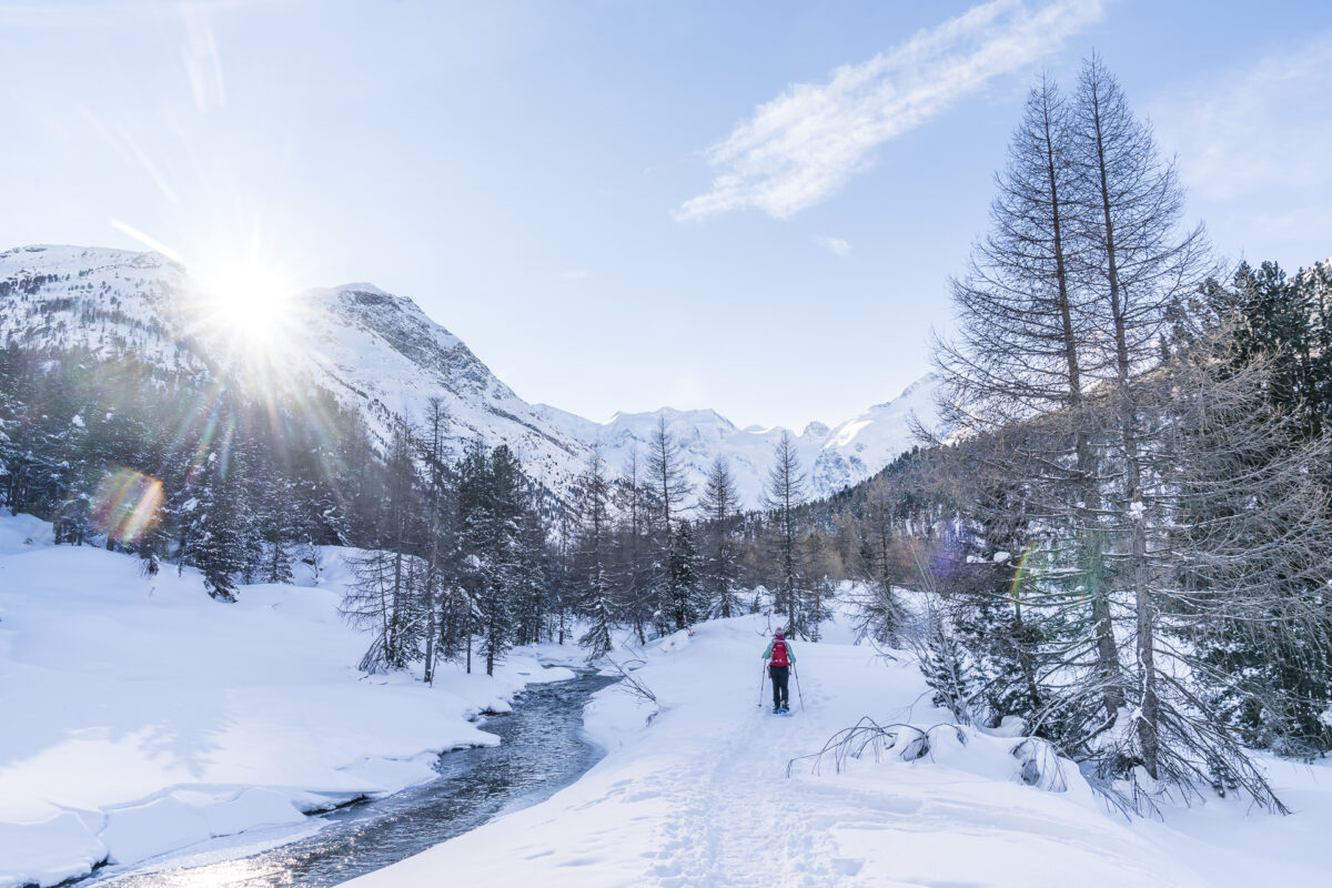
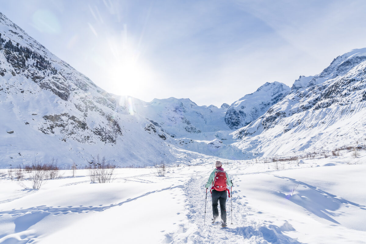
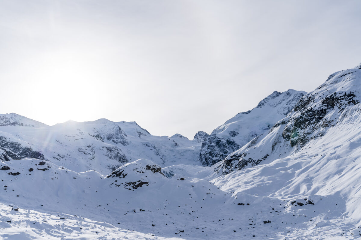
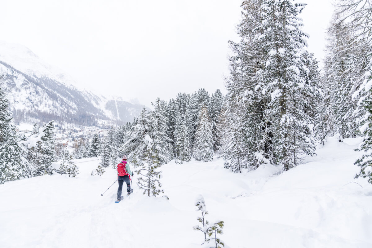
#2 Scenic snowshoe tour to the Morteratsch Glacier
The Val Morteratsch with its impressive valley closure is not only one of the most popular excursion destinations in the region in summer, but can also inspire in winter. In winter, a cross-country ski trail (classic and skating), a winter hiking trail and a snowshoe trail lead from Morteratsch train station towards the end of the valley. While the winter hiking trail is quite popular on sunny days, the snowshoe trail is much less frequented. This is probably due to the fact that snowshoeing in the Engadine generally comes in third place on the activity scale after cross-country skiing and winter hiking. Fortunately – in my opinion. Because it is pleasantly quiet on the snowshoe trails even during the high season.
Due to the constantly gently ascending path, this trail does not require any special technical refinements. Only the temperatures could be a challenge here. At the end of December/beginning of January, it is worth not tackling this tour too early in the morning, as it takes a little longer for the sun to fight its way out from behind the mountain backdrop. But once the first rays have found their way over the summit peaks, the entire high valley quickly shines in warm sunlight.
Key data snowshoe trail Morteratsch
For this long-distance hike (there and back) a good two hours are to be calculated. At first, we had trouble finding the entrance at the Gletscher-Hotel Morteratsch. This is located to the left of the trail and follows the course of the stream in the first section. If you are in the mood for a slightly longer snowshoe hike, you can also start the tour in Plauns (Morteratsch bus stop, turn-off) and from there follow the signposted path to the foot of the Morteratsch glacier.
| Starting point | Morteratsch Railway Station |
| Reachability | accessible by public transport |
| Length | 6 kilometers |
| Elevation gain | ↗ 150 m 150 m ↘ |
| Duration | 2:00 – 2.30 p.m. |
| Destination | Morteratsch Railway Station |
| Catering | Gletscher-Hotel Morteratsch (currently no external guests are catered for) |
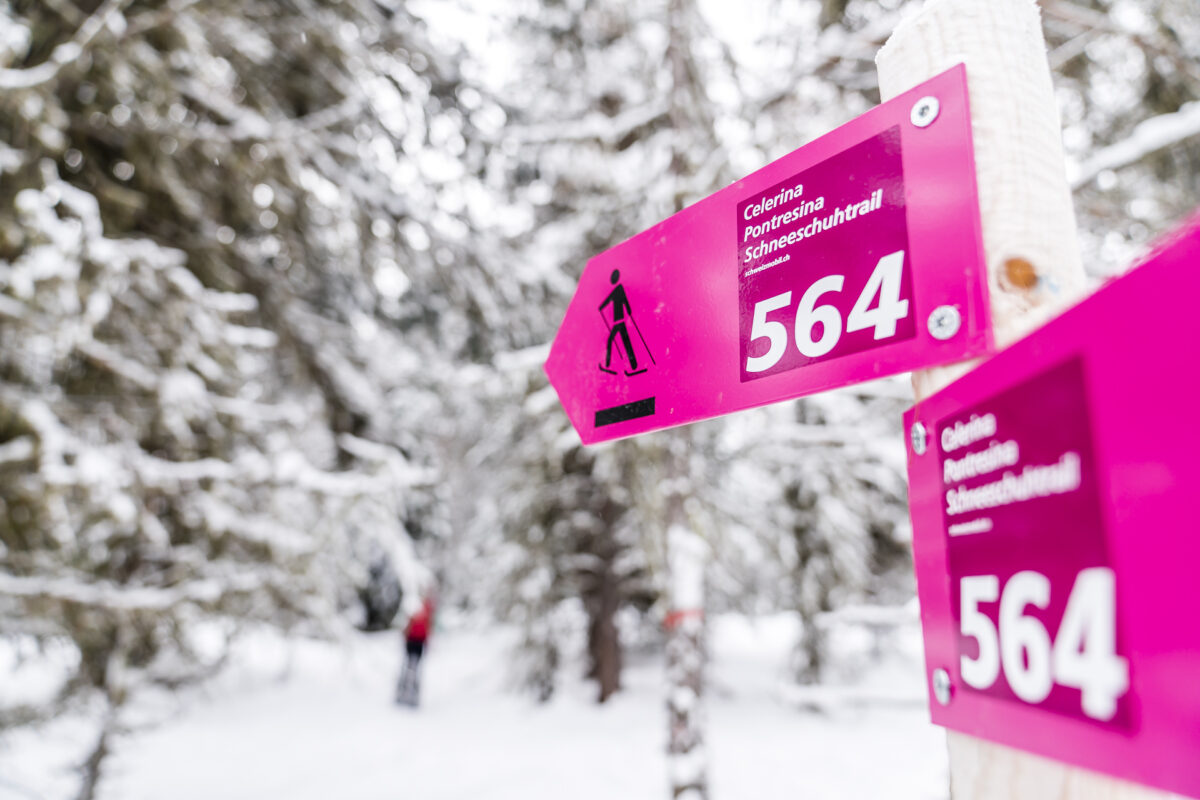
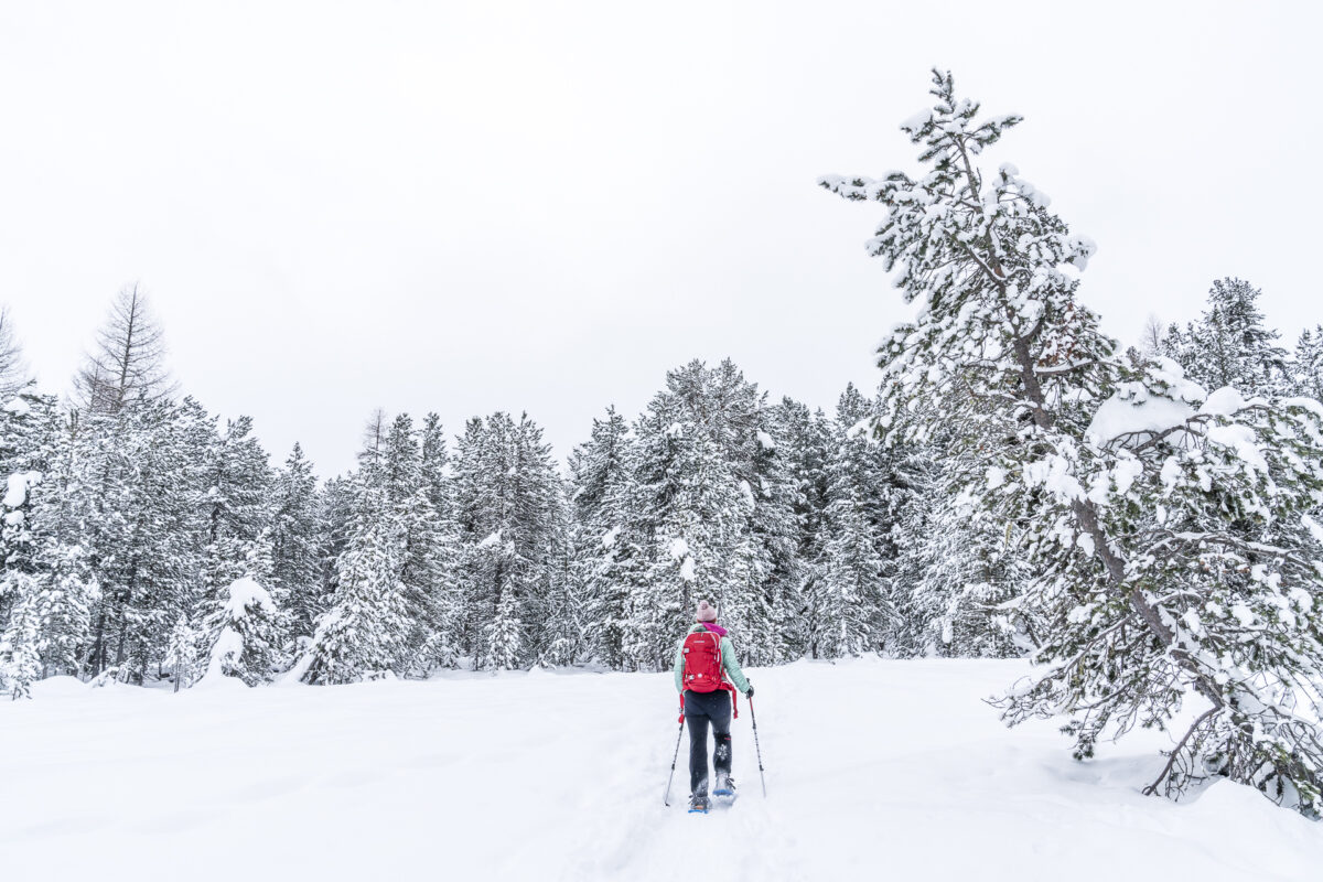
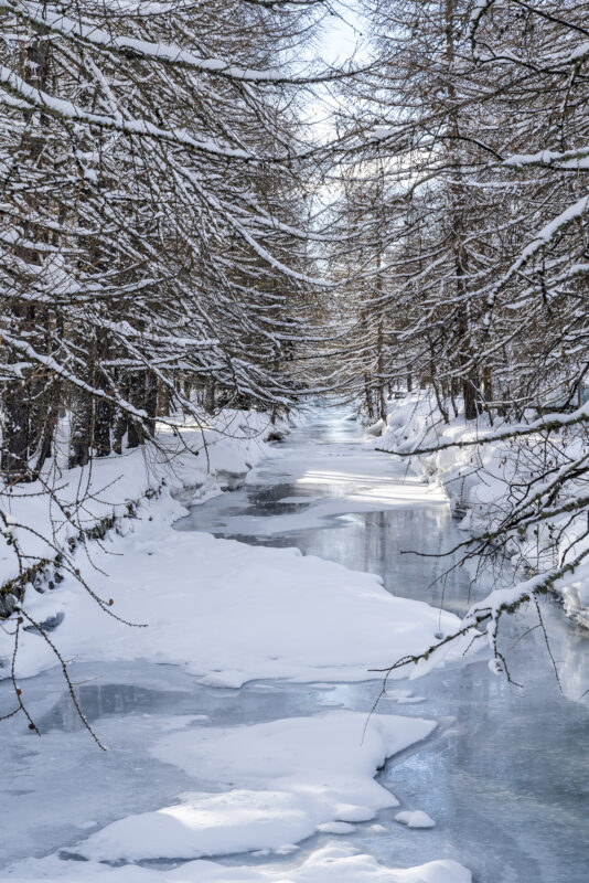
#3 Through the idyllic Staz Forest
This snowshoe hike is again a Switzerland Mobility route (no. 564), which is clearly signposted at least as far as the Tolais railway underpass (just before Pontresina). On the last part of the trail, however, we had a bit of a hard time finding the right path through the remaining forest to Pontresina train station (alternatively, you can also switch to the winter hiking trail here).
For me, this snowshoe trail is characterized by its beautiful route through the Staz Forest. Past gnarled mountain pines and filigree larches and over snow-covered moor clearings, the almost four kilometres are completed in no time. Here, even snowshoe novices can take their first steps without hesitation.
Key data of the Celerina-Pontresina snowshoe hike in Graubünden
The almost four-kilometre-long long-distance hike from Celerina to Pontresina is ideal for snowshoe beginners. The trail leads through the Staz Forest without any significant inclines and is worthwhile even in not so good weather or snowfall.
| Starting point | Celerina Station, Staz (stop on request) |
| Reachability | accessible by public transport |
| Length | 4 kilometers |
| Elevation gain | ↗ 130 m 80 m ↘ |
| Duration | 1:00 – 1.30 h |
| Destination | Pontresina Railway Station |
| Catering | none (or only again at Pontresina station) |
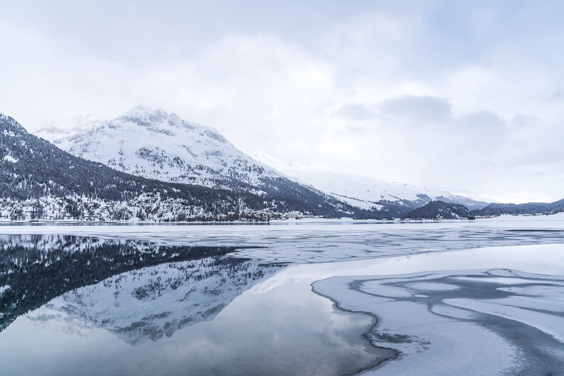
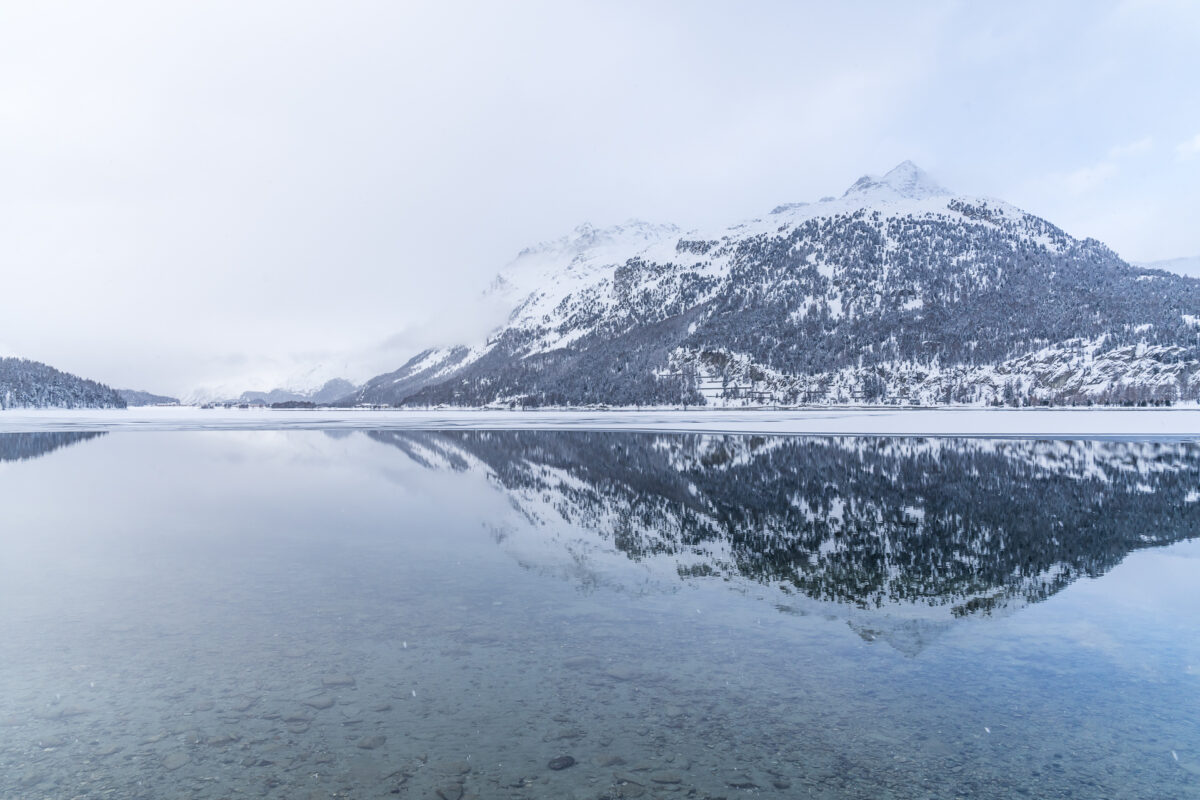
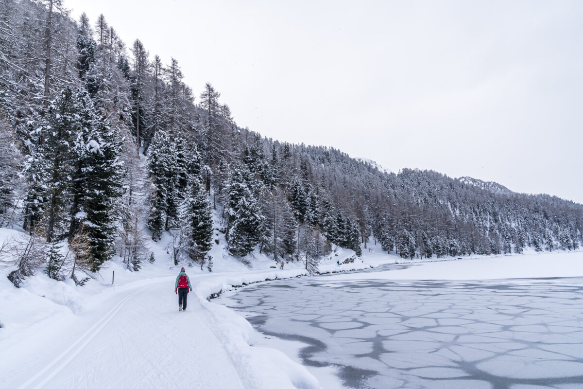
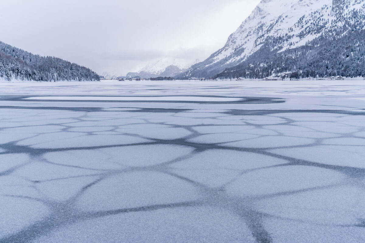
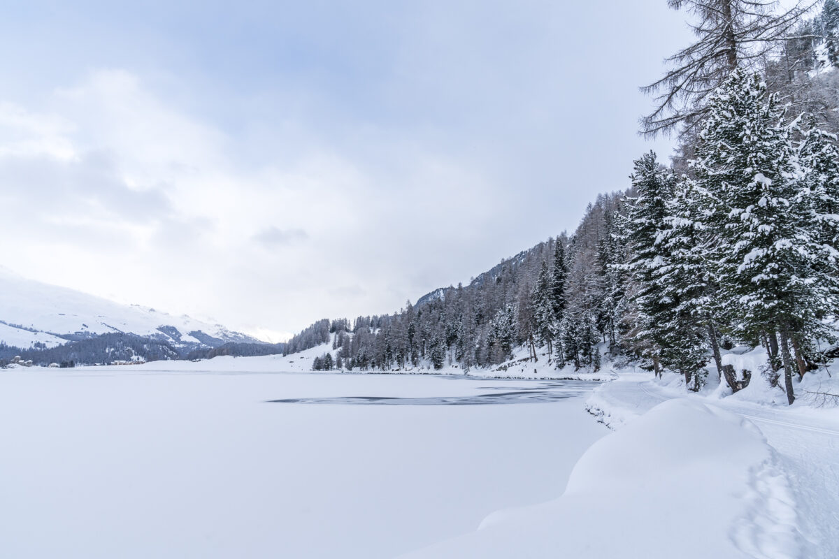
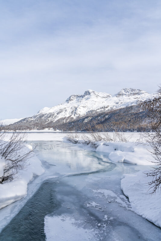
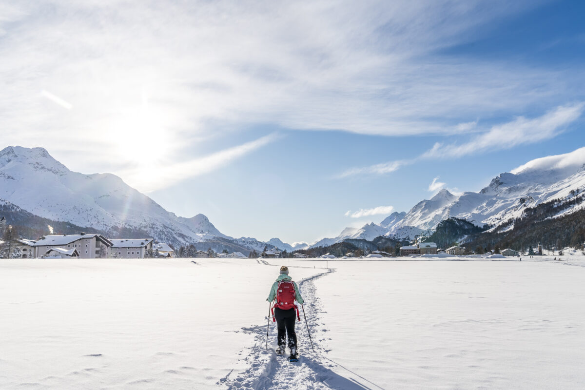
#4 Winter hike along Lake Silvaplana
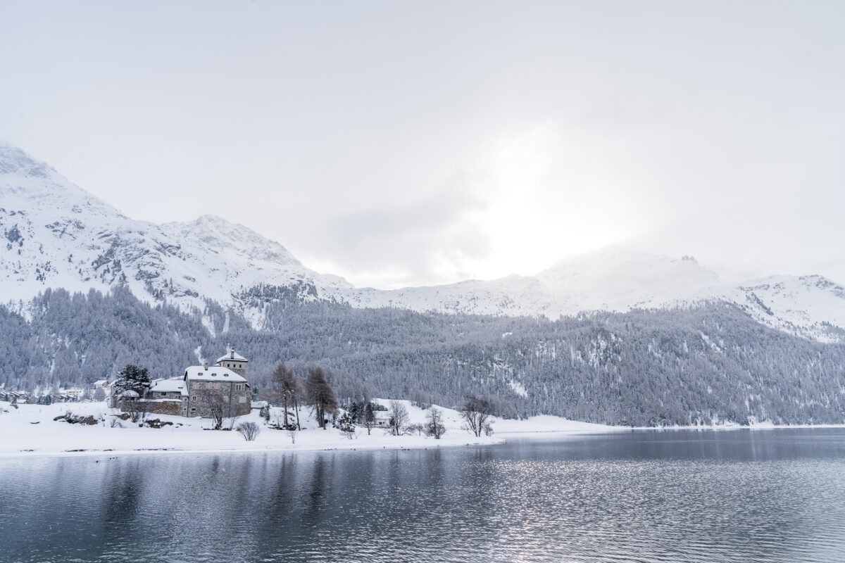
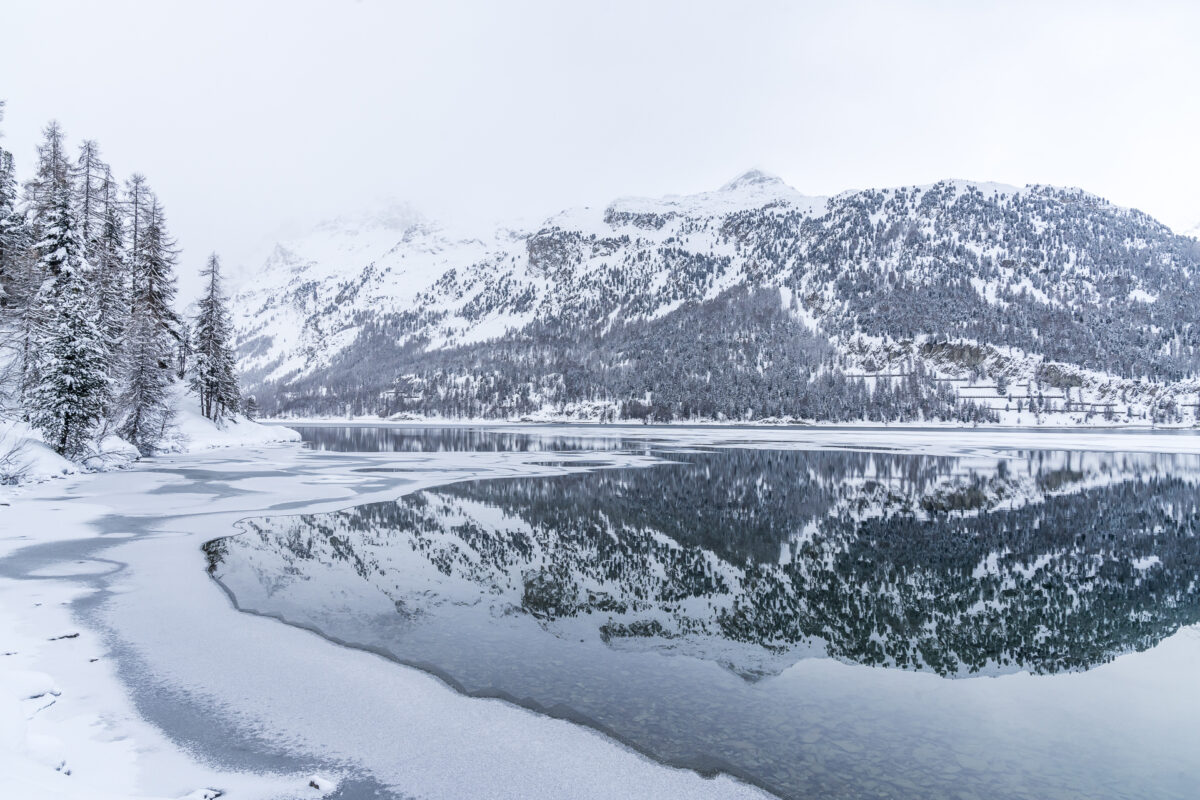
While Lake St. Moritz usually has a sufficiently thick layer of ice at the end of December to be released for inspection, this process takes longer at Lake Silvaplana (and Lake Sils). However, the winter hike along Lake Silvaplana seems particularly appealing to me, especially during the freezing process. When there is no wind, you can capture wonderful winter reflections (from the safe shore, of course) and at the same time you can also observe how the ice layer works its way further and further. From Silvaplana-Surlej, a signposted winter hiking trail leads past Crap da Sass Castle along the southern shore to the village centre of Sils Maria. Behind the castle, the previously separate cross-country ski trail is combined with the winter hiking trail – accordingly, consideration is required between winter hikers and cross-country skiers. But this works quite well.
I recommend this winter hike to those of you who value simply being outdoors more than a sporty, sweaty activity. Here you can expect a leisurely one- to two-hour walk through a dreamlike winter backdrop, which has some really great photo motifs in store.
Key data of the winter hike Surlej – Sils Maria
It took us just under 1.5 hours to complete this leisurely winter hike. The route shown below runs parallel to the cross-country ski trail. As long as Lake Silvaplana is not completely frozen and open for access, this is the connecting piece of the St. Moritz-Maloja Lakes Trail (Switzerland-Mobil route number 313). This winter hike can also be combined with a detour to the Kuhstall restaurant on Alp Prasüra above Sils Maria. The Kuhstall has a small, fine take-away offer.
| Starting point | Bus stop Silvaplana, roundabout center |
| Reachability | accessible by public transport |
| Length | 6 kilometers |
| Elevation gain | ↗ 100 m 100 m ↘ |
| Duration | 1:30 |
| Destination | Bus stop Sils/Segl Maria, Maria |
| Catering | none |
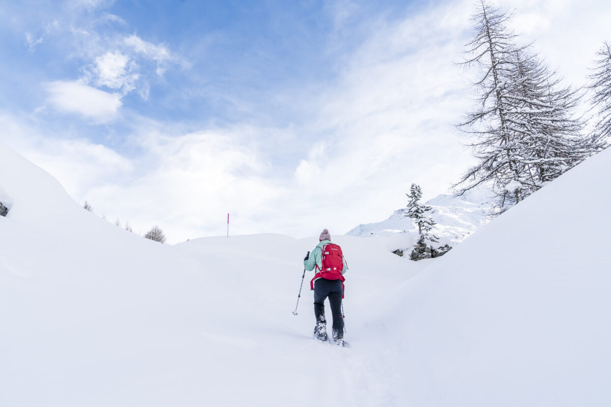
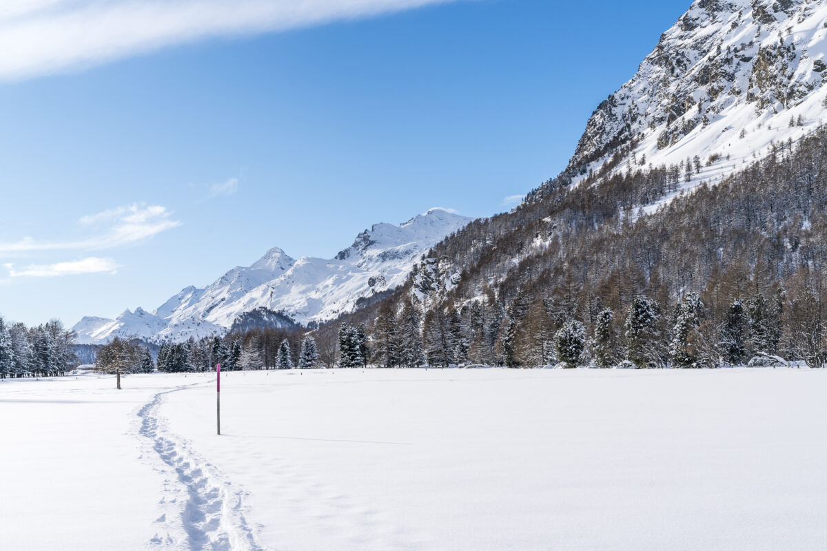
#5 Easy snowshoe tour near Sils Maria
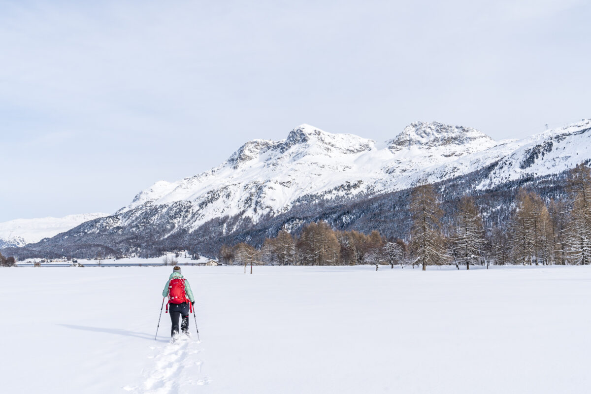
If you’re spending several days in the Upper Engadine and don’t want to let your arrival day go by unused – then a snowshoe hike across the plain between Lake Silvaplana and Lake Sils might be just the thing for you. The easy snowshoe trail Suot Ovas leads from the village centre of Sils Maria over snow-covered pastures and past interspersed groups of trees to the shore of Lake Silveplanersee, where it crosses the canalised Fexbach stream and leads back to the starting point on the opposite side.
What you can really experience on this tour is the unique expanse of the Engadine. I find it impressive how the sun unfolds its full power here, even on the shortest days of the year, well into the afternoon. In addition, this trail is comparatively little used. There is a good chance that you will be the first to trudge the tracks into the fresh snow.
Key data snowshoe trail Suot Ovas
This is another snowshoe hike that works well for beginners and families. The plain between Lake Sils and Lake Silvaplana offers flat, beginner-friendly terrain. We were only confronted with the challenge of spotting the right marker posts in the tangle of cross-country ski trails, winter hiking trails and snowshoe trails.
| Starting point | Sils/Segl Baselgia, Dotturas |
| Reachability | accessible by public transport |
| Length | 4 kilometers |
| Elevation gain | ↗ 20 m 20 m ↘ |
| Duration | 1:00 – 1.30 h |
| Destination | Sils/Segl Baselgia, Dotturas |
| Catering | none |
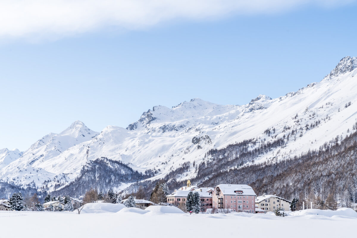
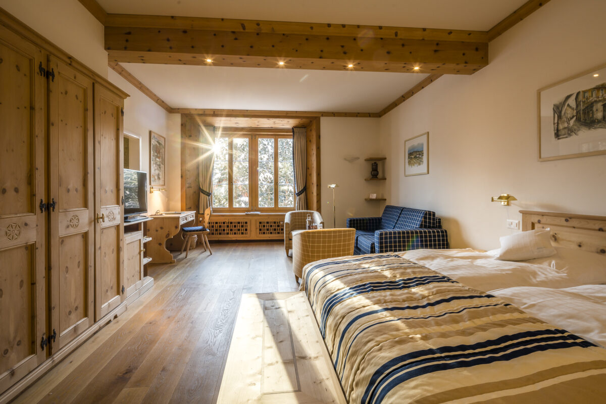
Extra tip: sleep better in Sils Maria
In the search for a suitable “base camp”, this time the Parkhotel Margna in Sils Baselgia won the race. The 4-star superior hotel is located right next to the cross-country ski trail and is also perfectly located to reach some of the snowshoe trails and winter hiking trails presented here without additional bus rides/travel time. Although the hotel has more than 200 years under its belt, it presents itself – thanks to constant renovation – youthfully fresh and has inspired us with its spacious, bright room layouts (we stayed in a double room deluxe).
Leave a Reply