

Gottardo hiking trail: From Göschenen to Erstfeld in the Uri Reuss Valley
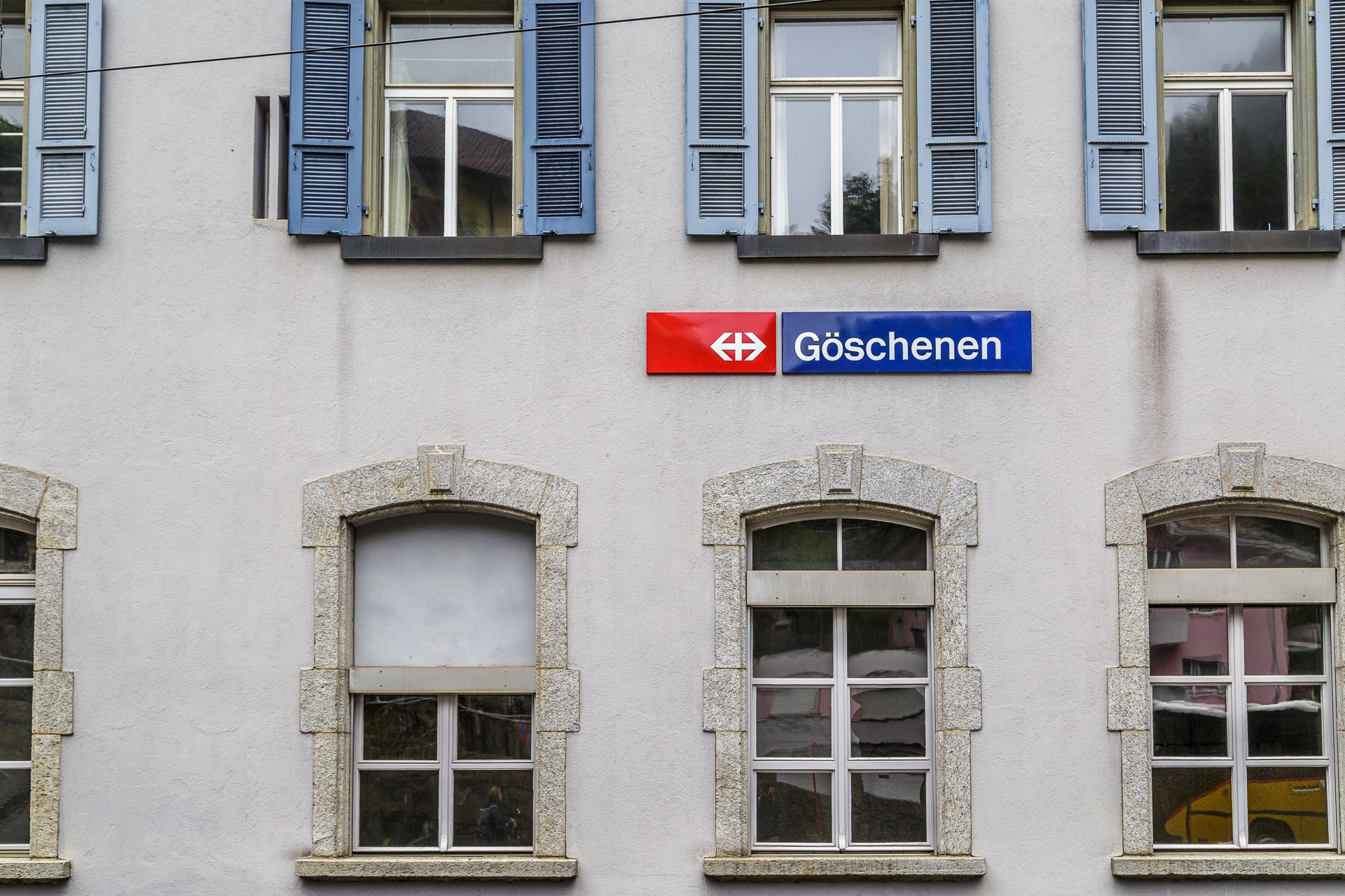
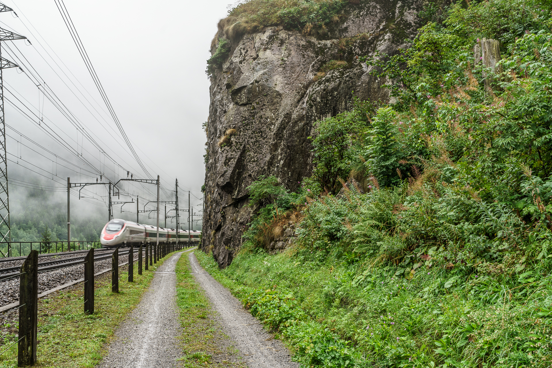
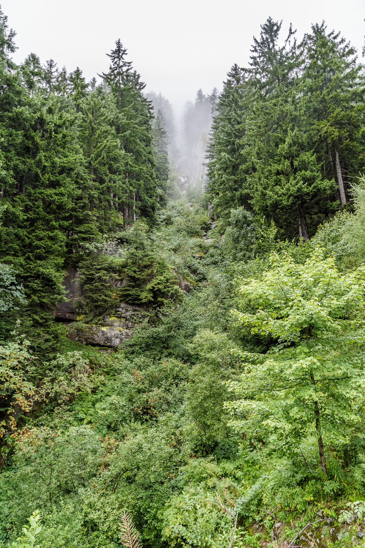
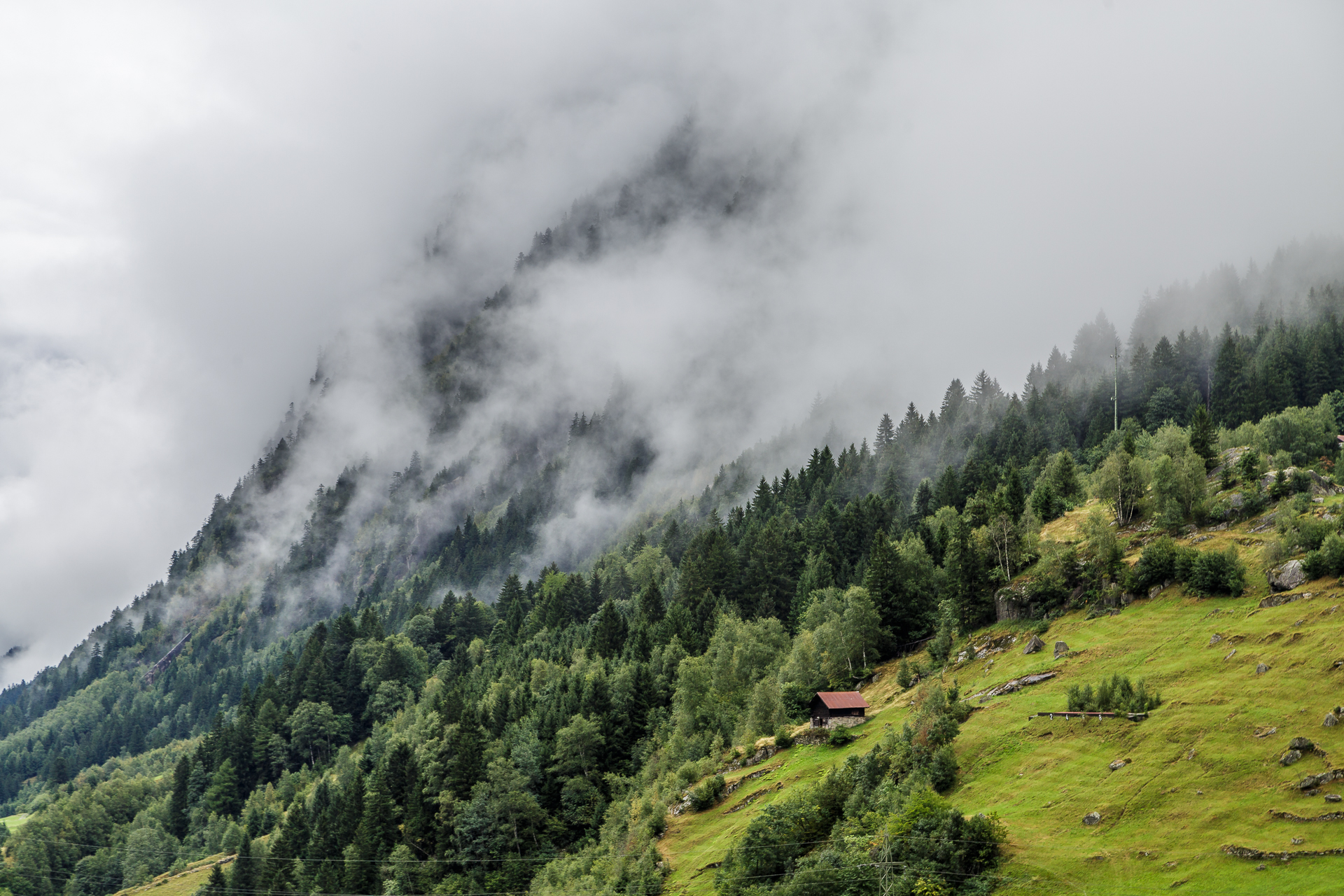
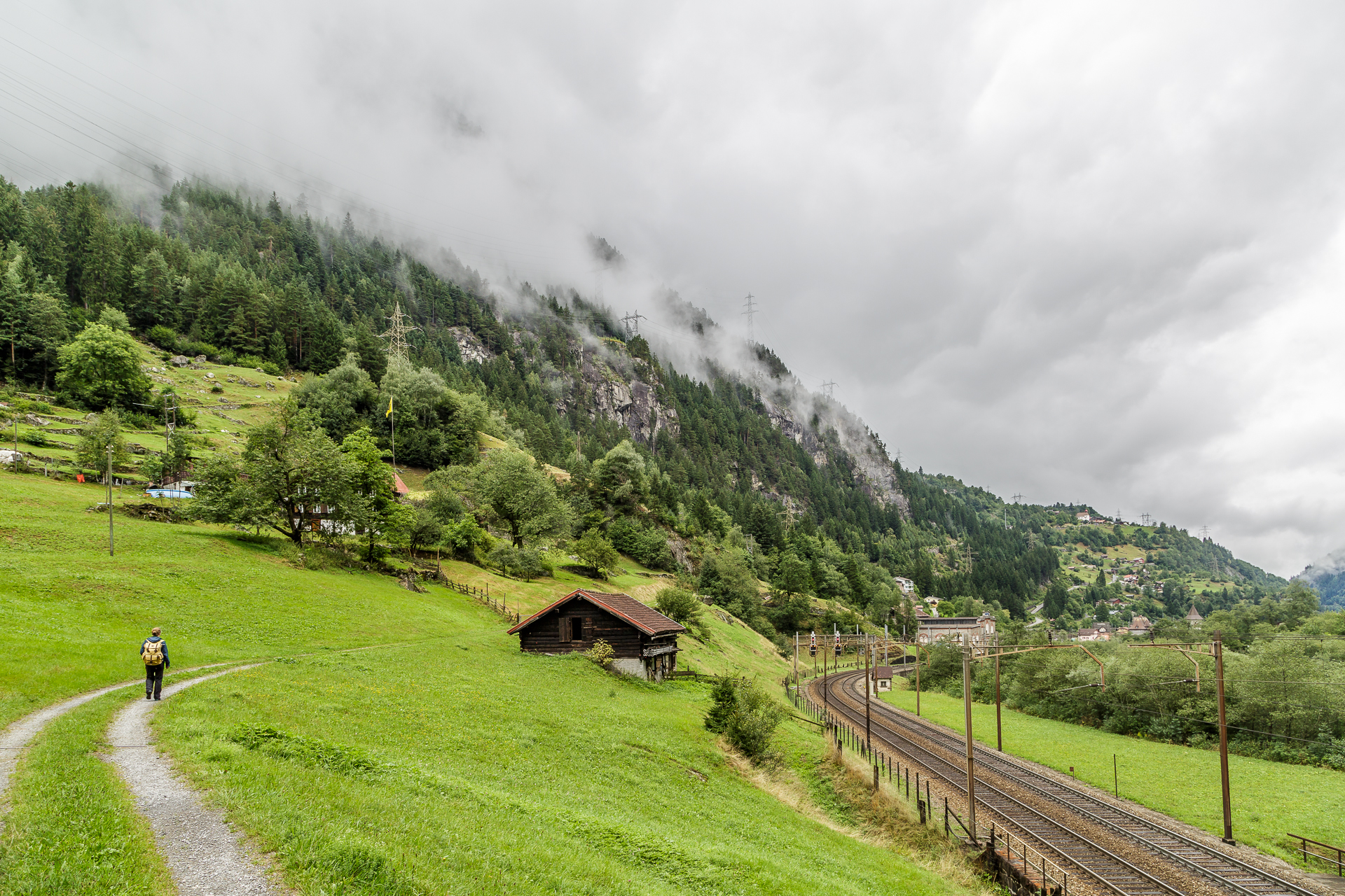
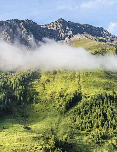
On one of the few rainy August days, we packed our backpacks in Zurich and made our way to Göschenen for the SBB. The goal of the day: to march as far as our feet can carry us along the Gottardo Northern Route along the Gotthard mountain route. Why we chose the greyest day of the summer is probably related to Murphy’s Law. Fortunately, the raindrops were merciful. Although the sky was cloudy during the entire hike, the rain left us alone until the final sprint before Erstfeld. Anyway. For the photos, we used a sunny morning to take some impressions around Wassen with a cheerful light. But actually, I like the nebula just as much. So if you prefer sunshine, click through my report at the SBB and for all lovers of gloomy skies, I have put together some snapshots from the road here.
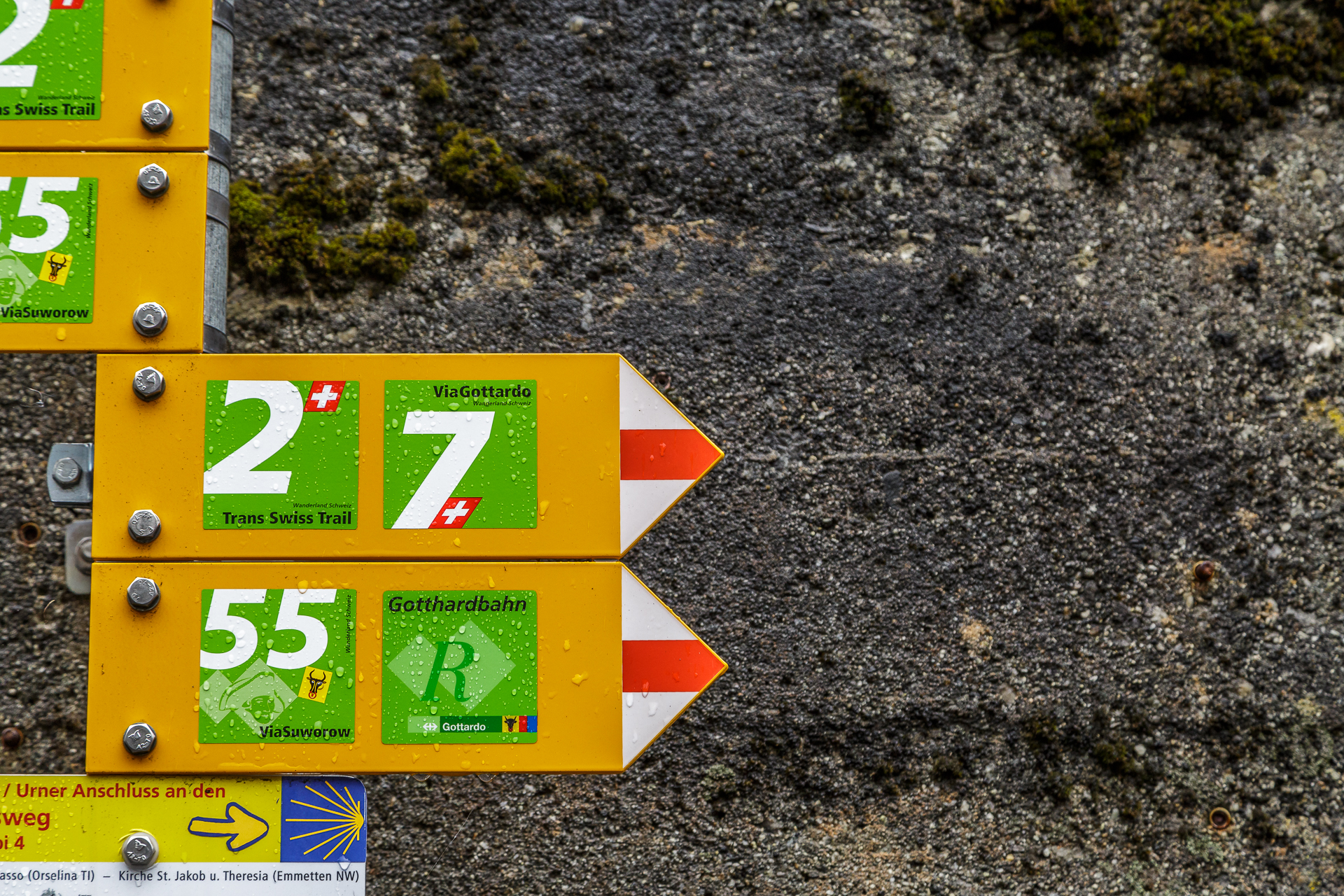
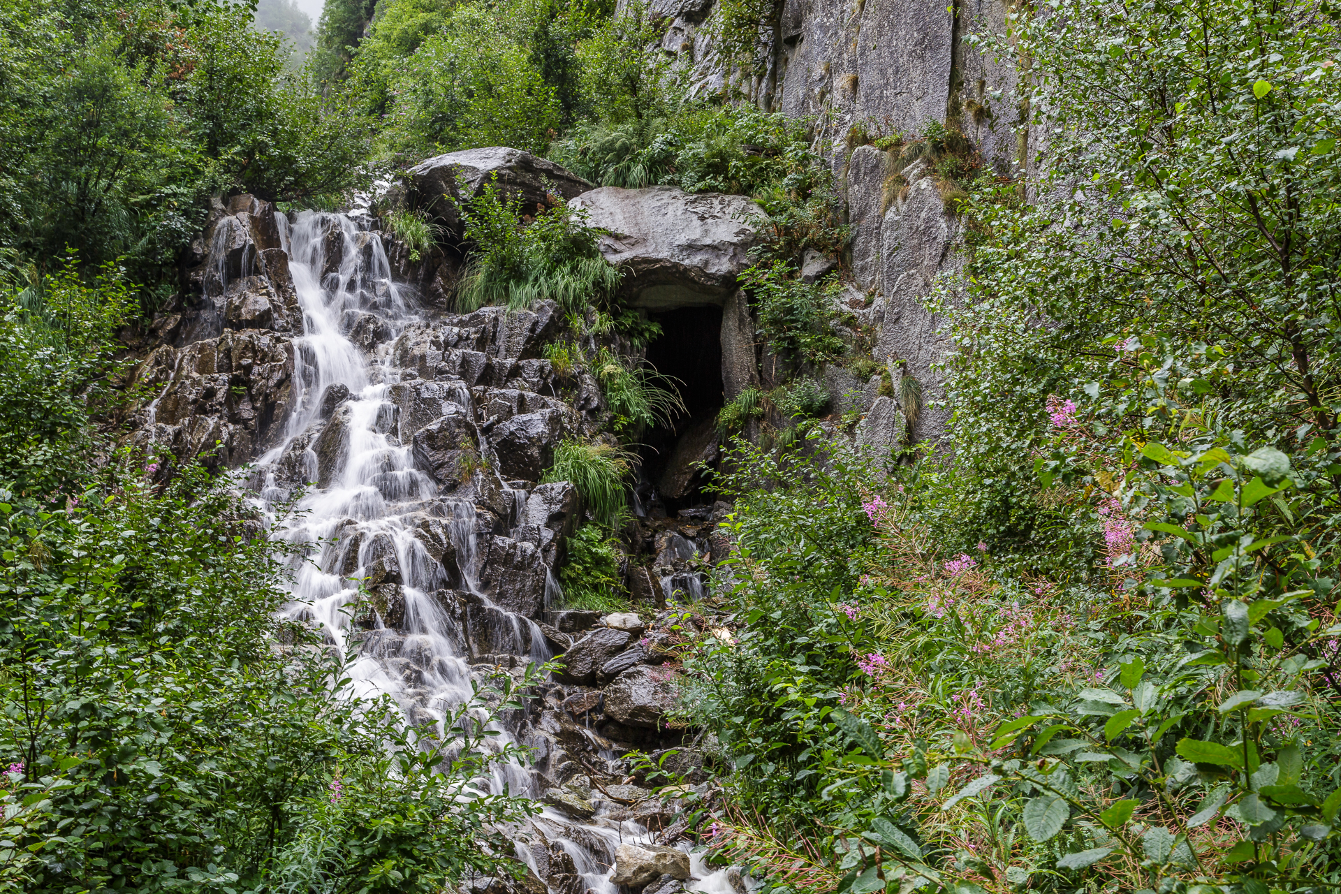
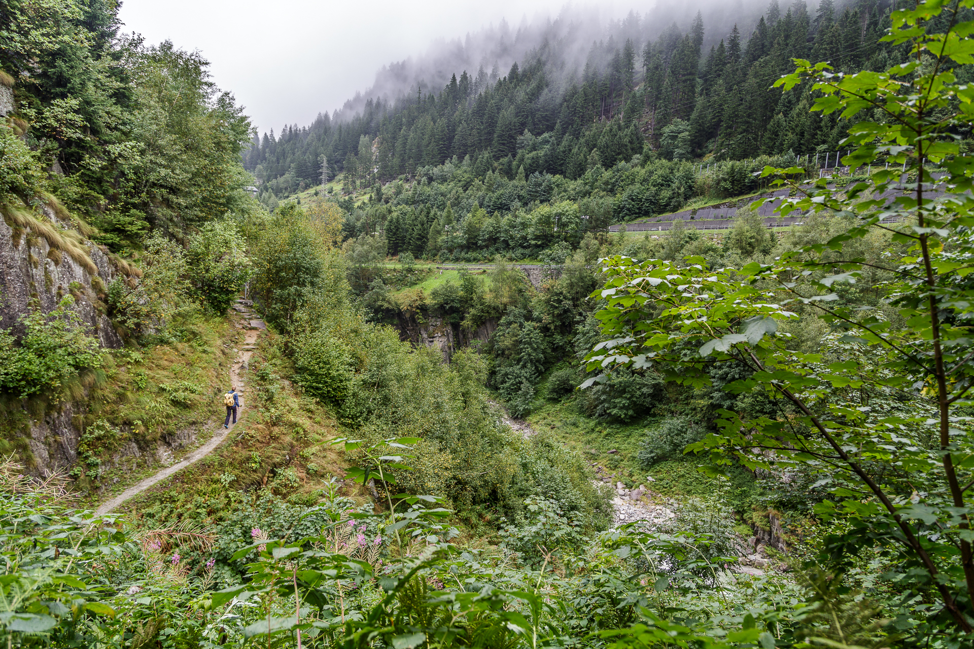
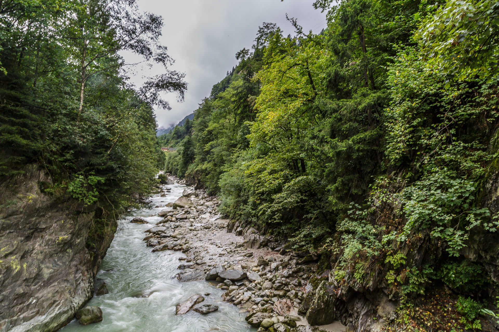
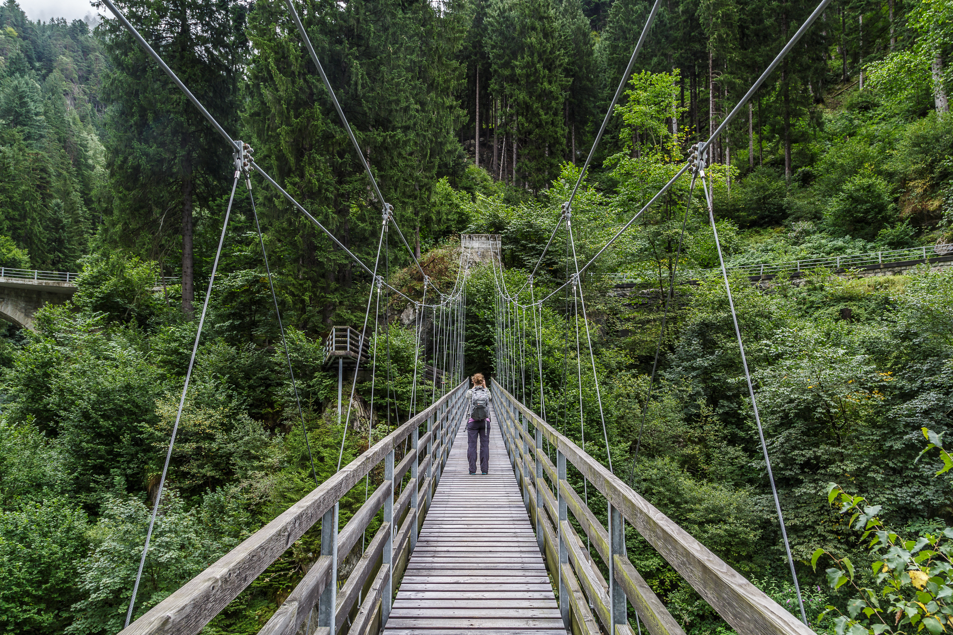
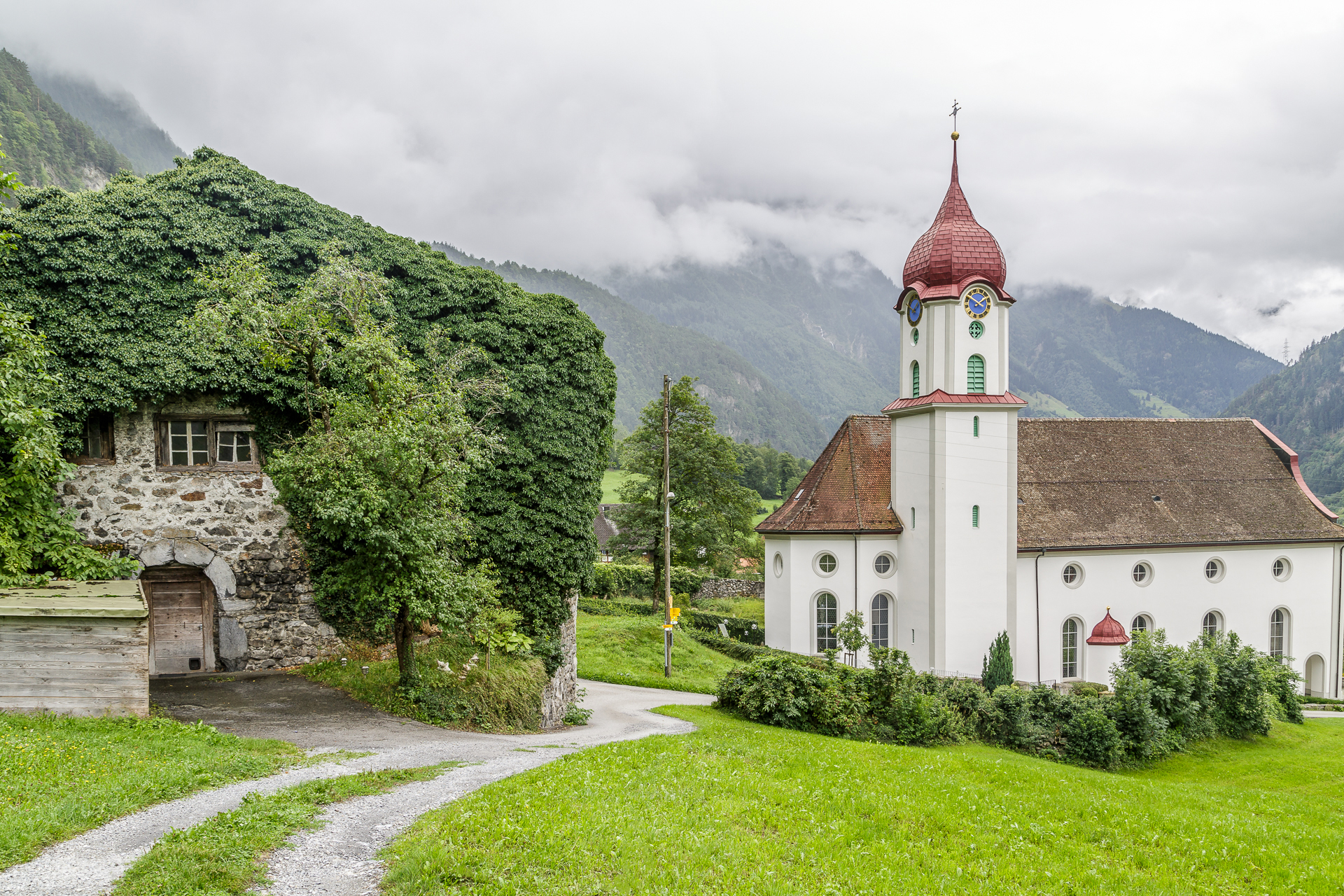
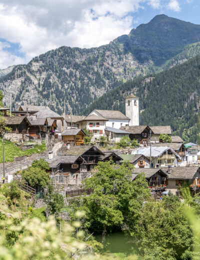
The northern route of the Gottardo hiking trail leads in an entertaining 24 kilometres from Göschenen across the Reuss Valley of Uri to Erstfeld. Sometimes the hiking trail is laid out right next to the railway line, sometimes you hike sandwiched between the motorway and high-voltage lines and sometimes you can enjoy great views from the valley floor up to the rugged mountain flanks from the hills. One thing becomes immediately clear when hiking. The infrastructure strands have a massive impact on the Reuss Valley in Uri. For railway freaks, there are exciting information boards every few hundred meters, where things like cable booths, guards’ houses and intermediate attacks are explained.
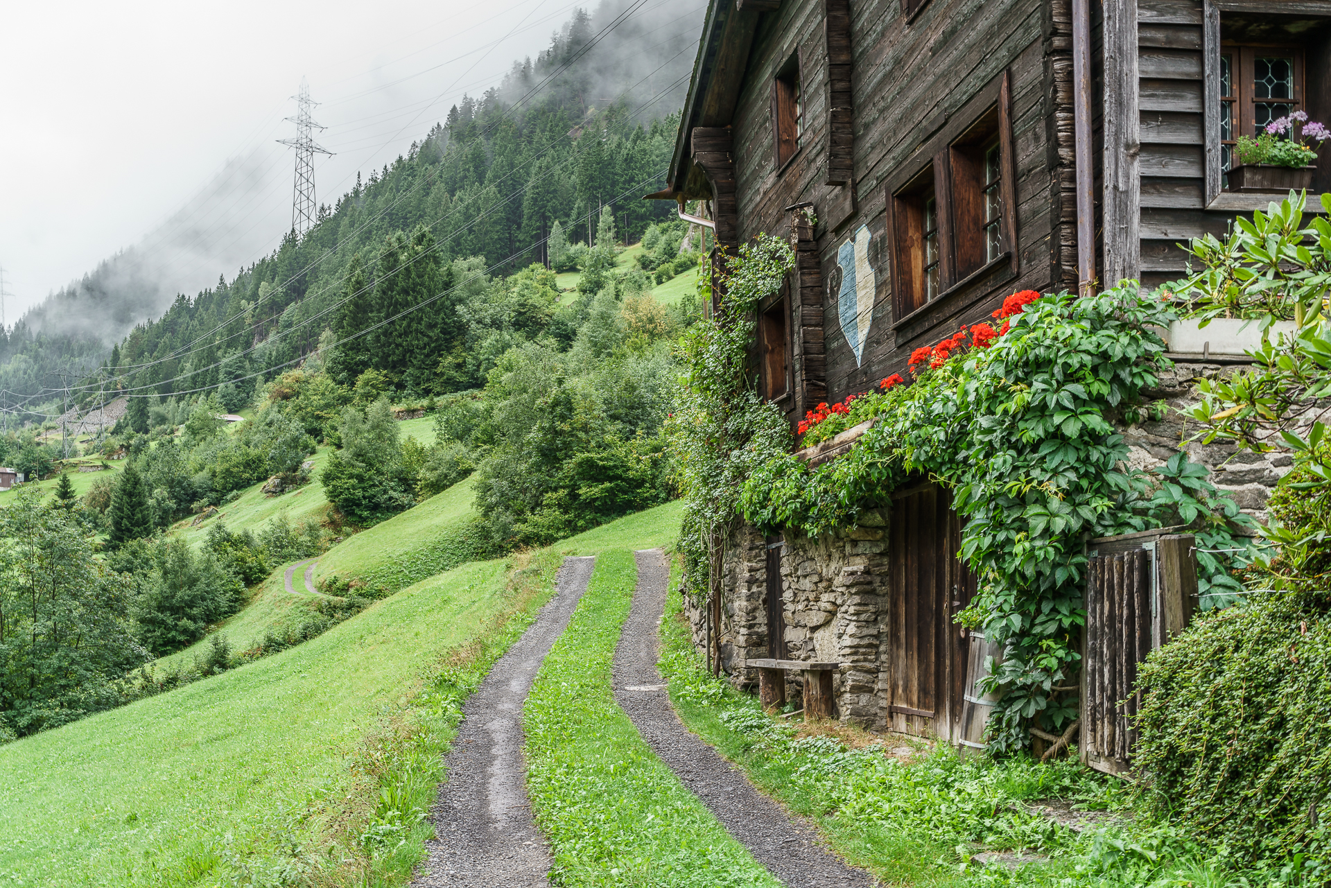
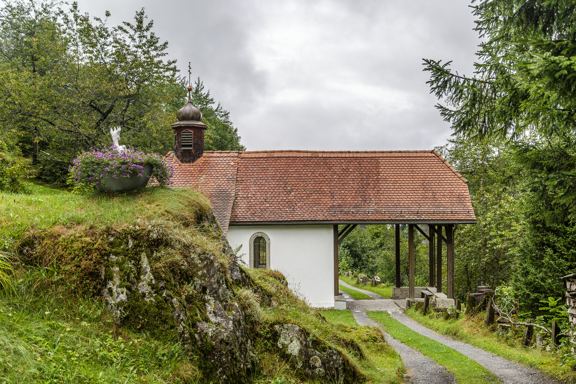
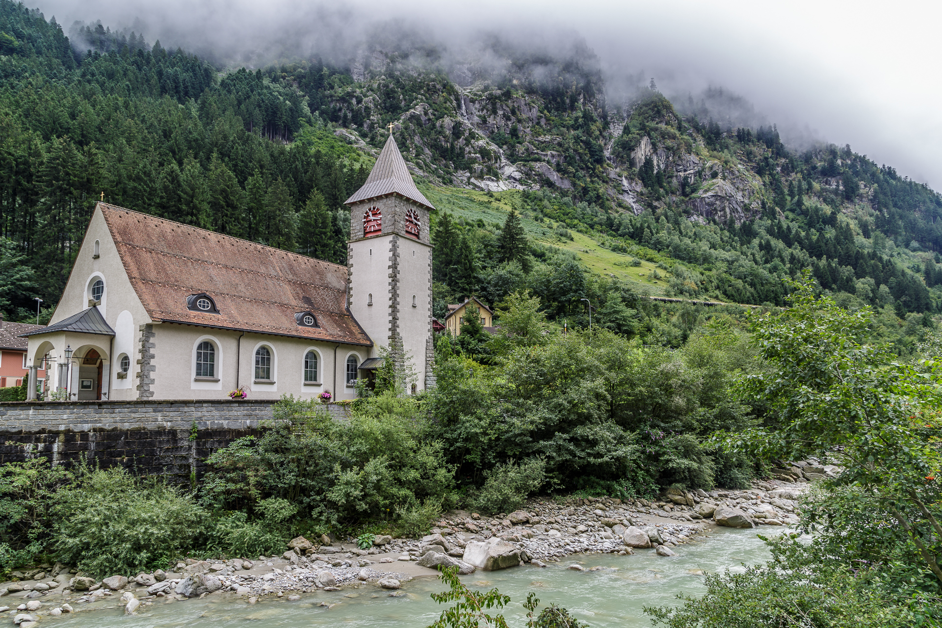
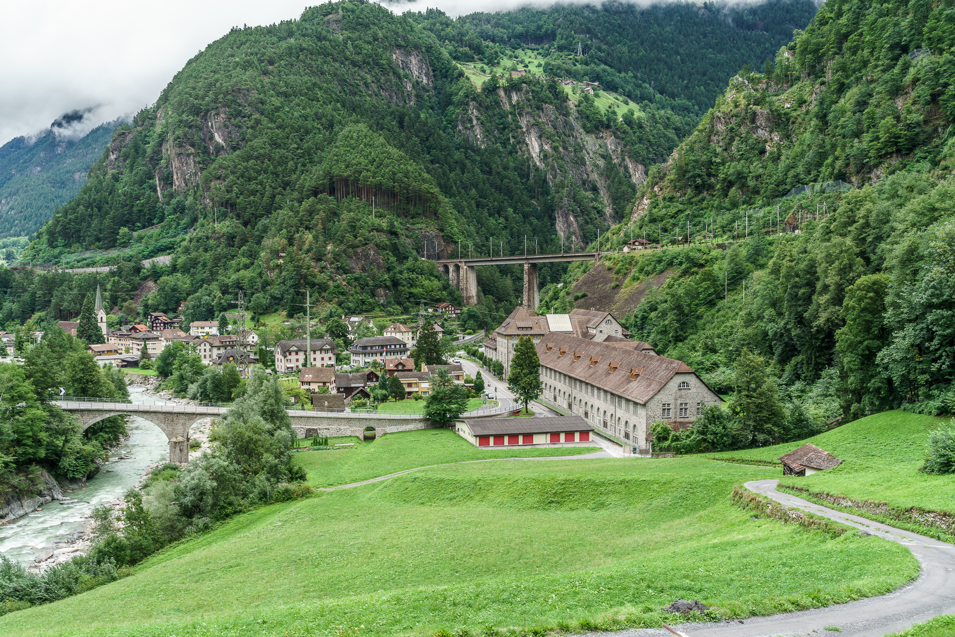
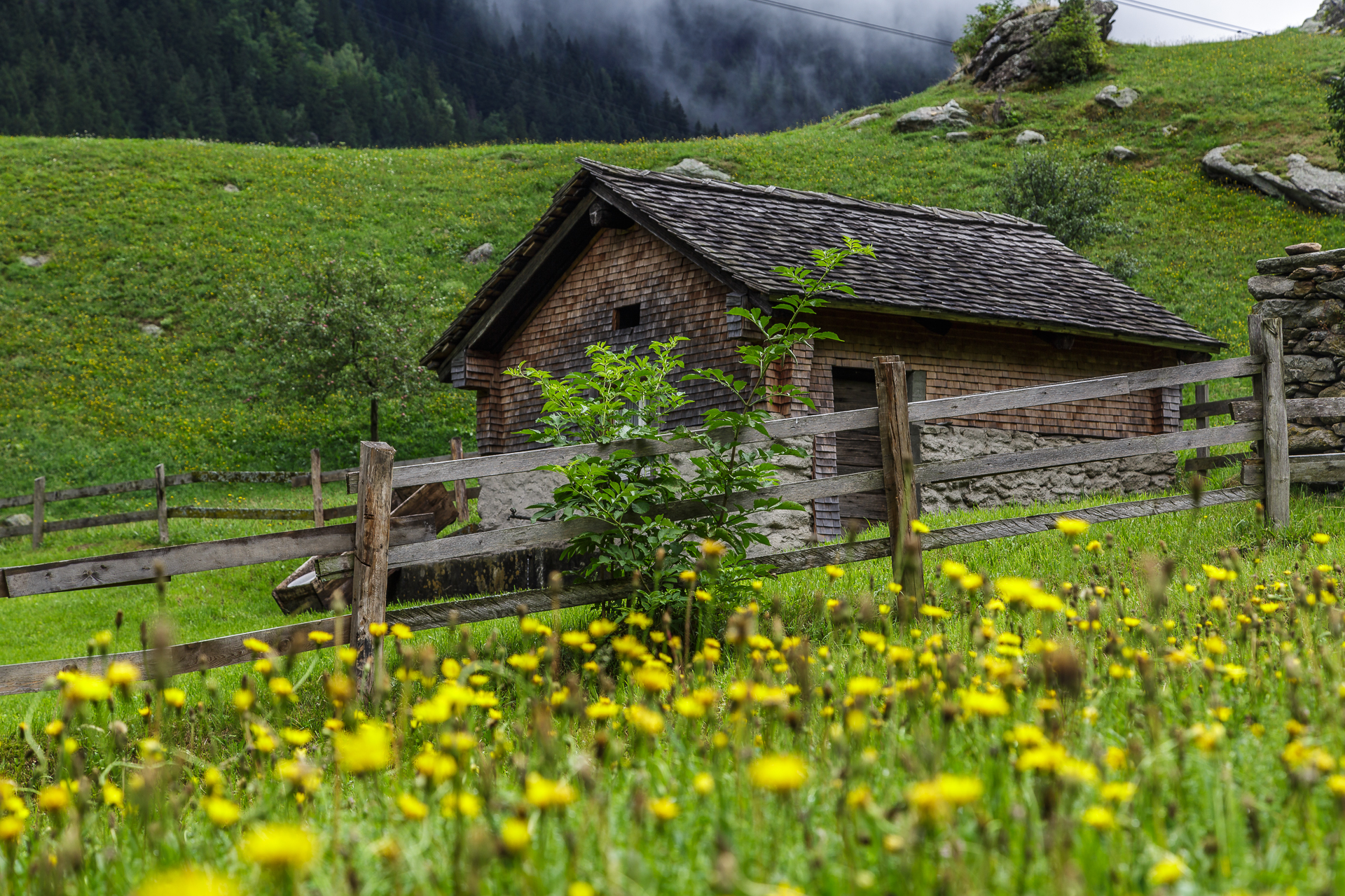
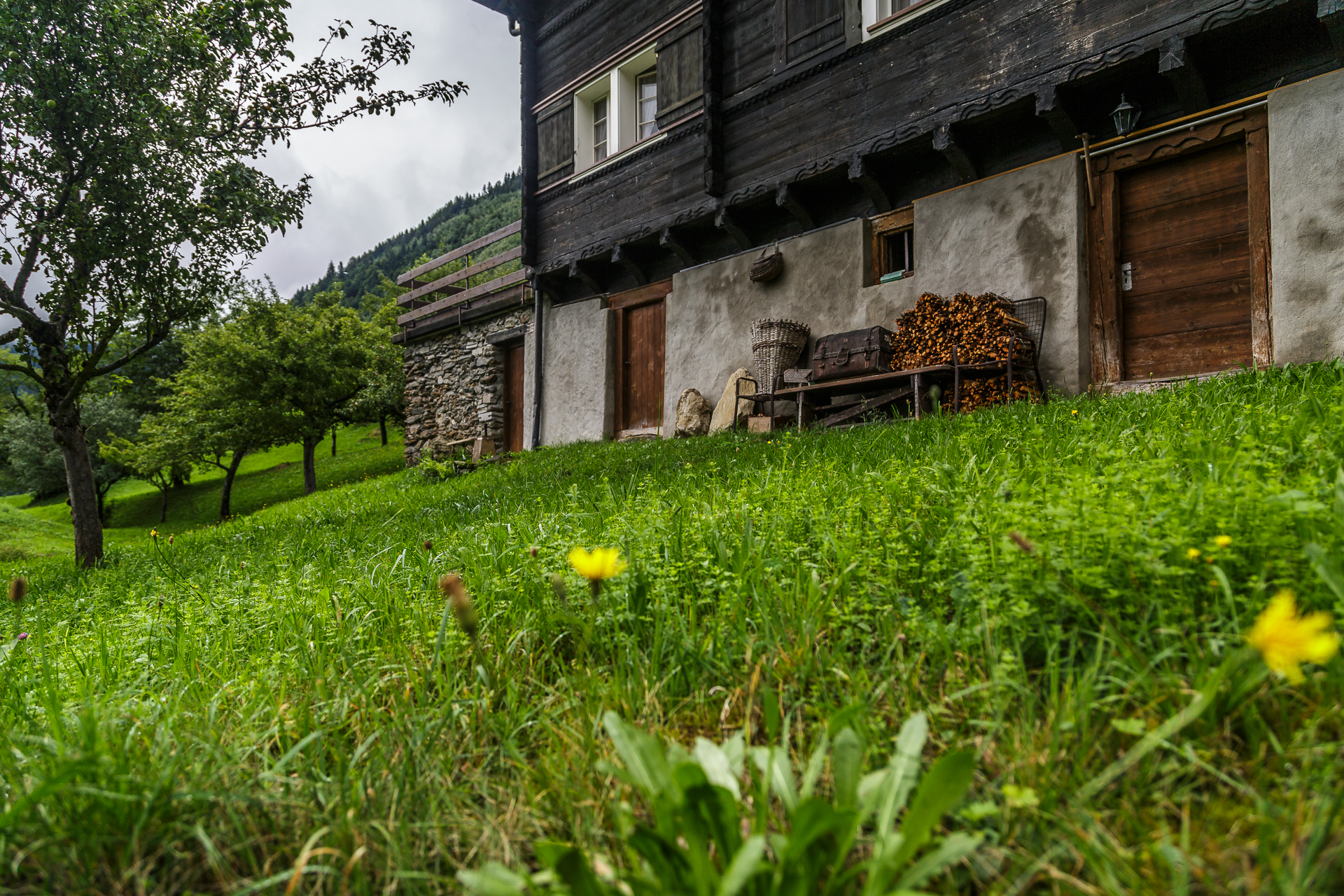
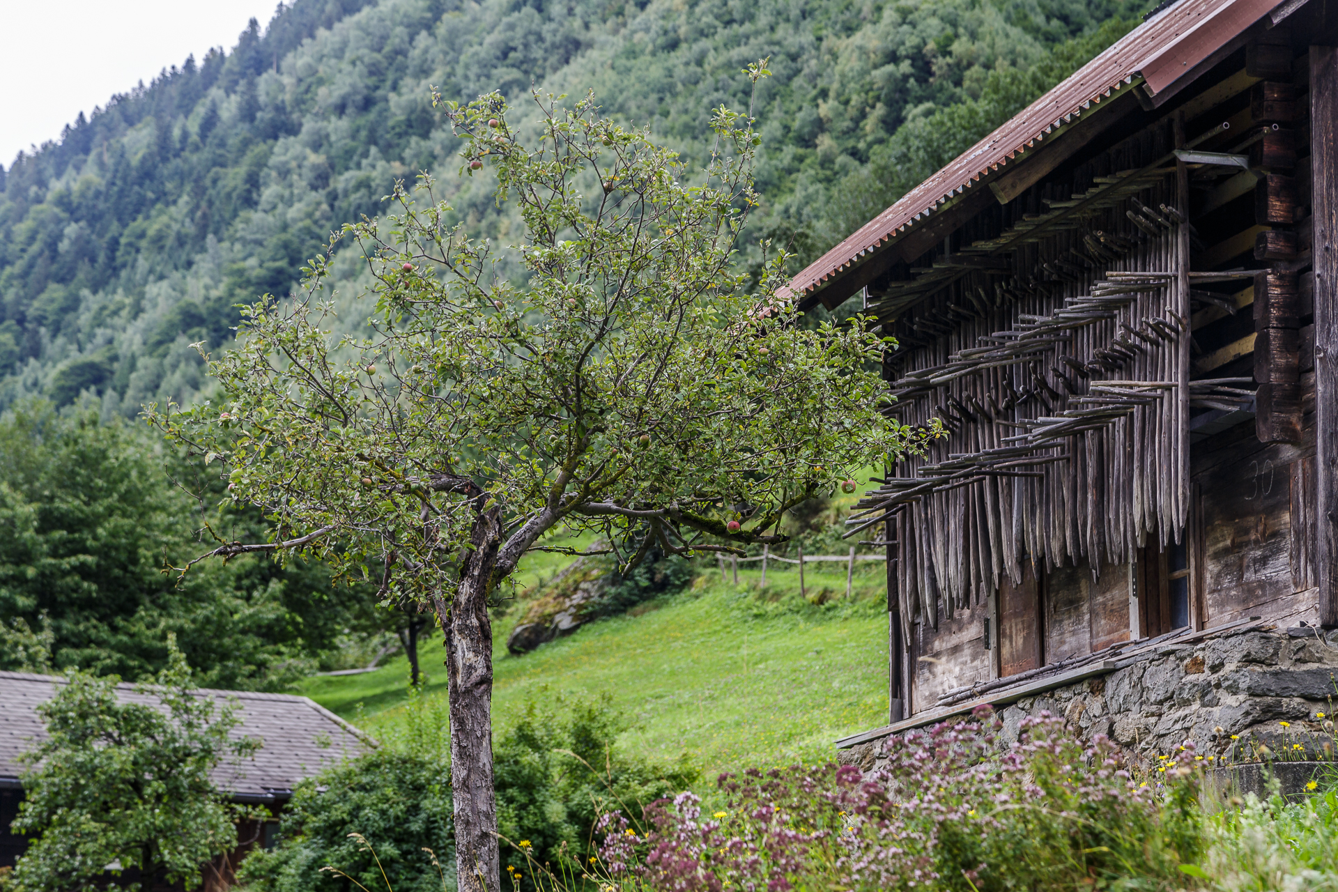
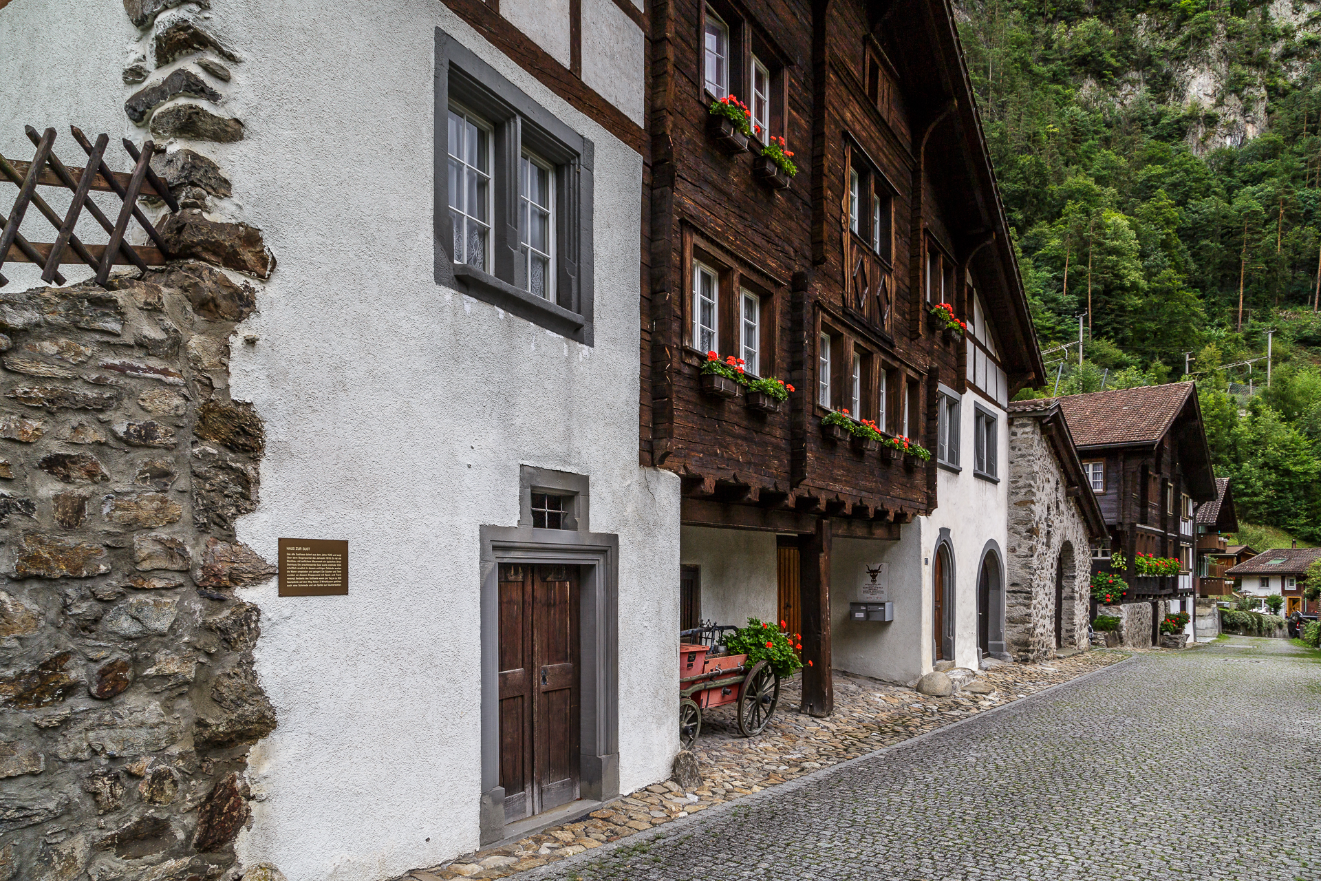
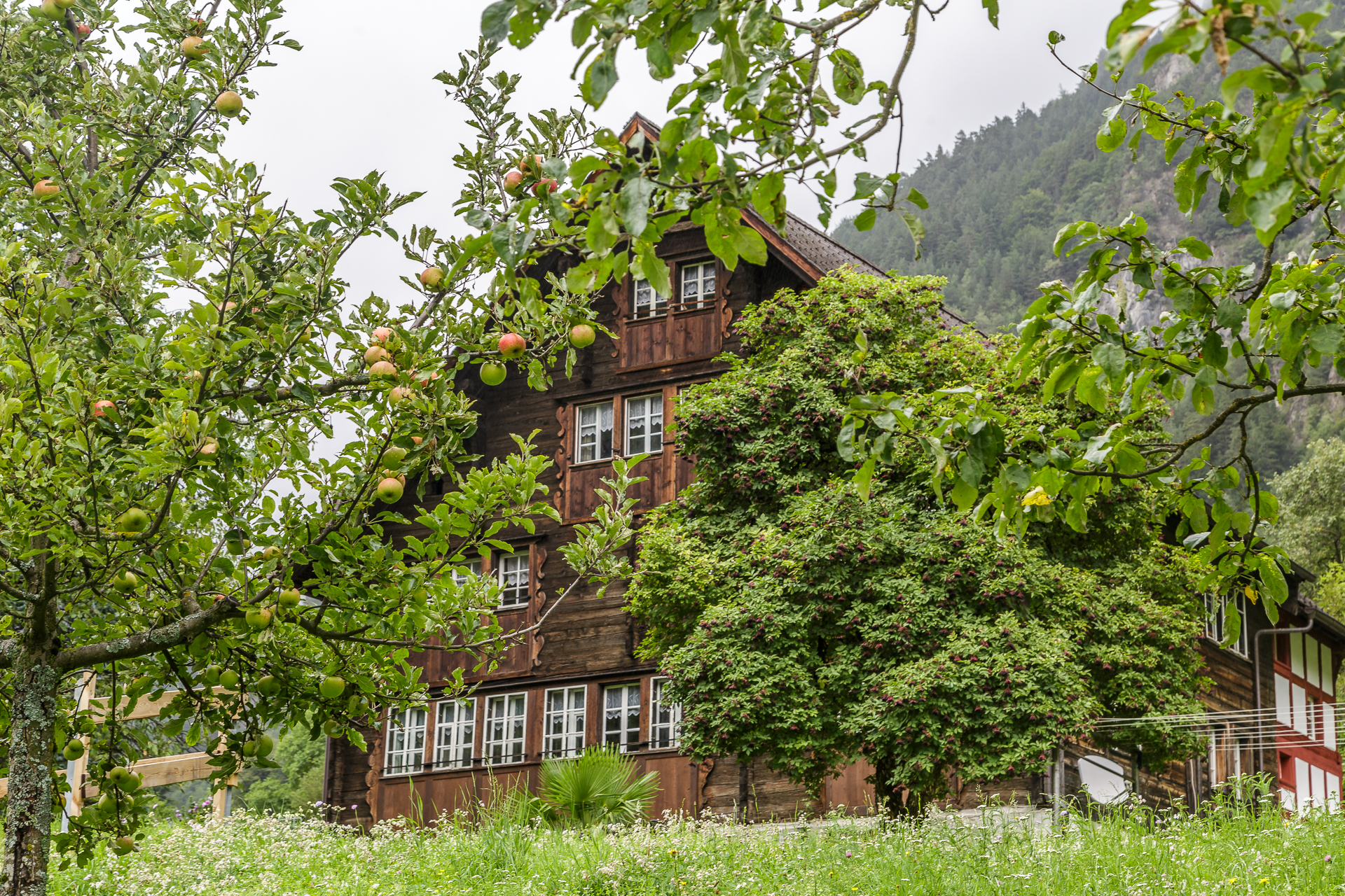
My highlight and the reason why it is worth persevering while hiking are the villages and hamlets between Amsteg and Erstfeld. From the train’s perspective, this is hardly more than a scrap of landscape rushing by outside. On foot, however, the Gottardo hiking trail leads us past idyllically situated farmhouses and over cobblestones through picturesque town centres such as Silenen. What, you don’t know where Silenen is? Well then, let’s go. The Tower of the Noble Knights is waiting for you.


Route description Gottardo Hiking Trail North
The route can be found on the map below. The “North” section of the Gottardo hiking trail leads about 24 kilometres from Göschenen to Erstfeld, includes an ascent of 680 metres and a descent of 1,320 metres in altitude. The pure runtime is around 7 hours. The hike is also feasible in partial stages. Göschenen and Erstfeld can be reached by express train from Zurich / Lucerne. The villages in between can be reached by bus from Erstfeld / Göschenen. Due to the rather low altitudes, the hike can also be done well in spring or late autumn.
More information about the hike: Gottardo Hiking Trail

Leave a Reply