Albinenleitern – Bhutan Bridge – Pfynwald: adventurous hiking days in Valais
Switzerland instead of Slovenia. Actually, we had planned to travel by train to Slovenia in the second last week of June and do a part of the Alpe-Adria-Trail through the Triglav National Park. As is well known, nothing came of it (the night trains had not yet resumed operation and national borders to our neighbors were still officially closed at the start of the holidays). And even though we were saddened to learn of this, it was easy to put together an alternative programme in the country – the plan: two days of hiking in the Jura, three days by bike across the canton of Bern and then three to four days of hiking in Valais.
The uncertain weather conditions – especially on the southern side of the Alps – made us shorten the Valais detour to two days. But these were perfect all around! Once again we scouted a wonderful hideaway and I finally hiked through the Pfynwald. This has been on my bucket list for what feels like an eternity.
For once, the tour described below does not take you to the dizzying heights of the Valais mountains, but moves at modest altitudes – and in large parts even in the “lowlands” below. Nevertheless, it offers scenic variety and also one or the other adventurous part.
Day 1: from Leukerbad to Albinen
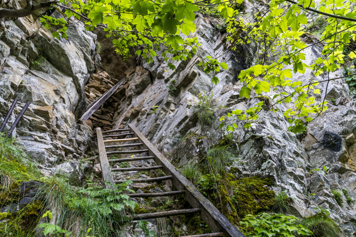
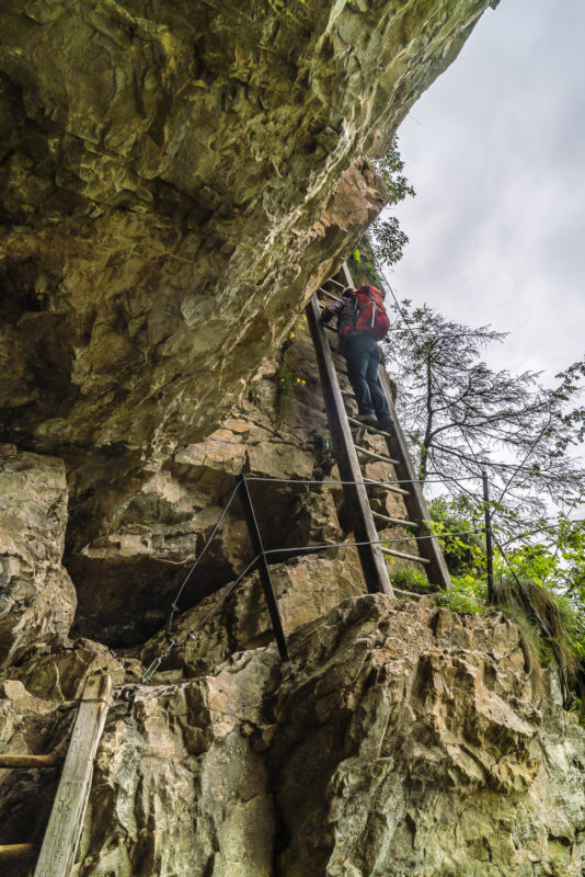
We start our 2-day hiking route in the traditional Valais thermal spa town of Leukerbad. This time, the focus is not on the hot springs, but on the historic path connection between Leukerbad and the neighbouring mountain village of Albinen. The highlight of this former trade route are eight wooden ladders that were used to overcome a steep rock ledge between Leukerbad and Albinen. And even though Albinen is actually a little lower than Leukerbad (only a few meters in altitude), you should not be fooled by this and think that the ladders lead up from Albinen to Leukerbad. It’s the other way around and that’s why it’s recommended to start the tour in Leukerbad. It feels much less “scary” to climb the ladders instead of going down.
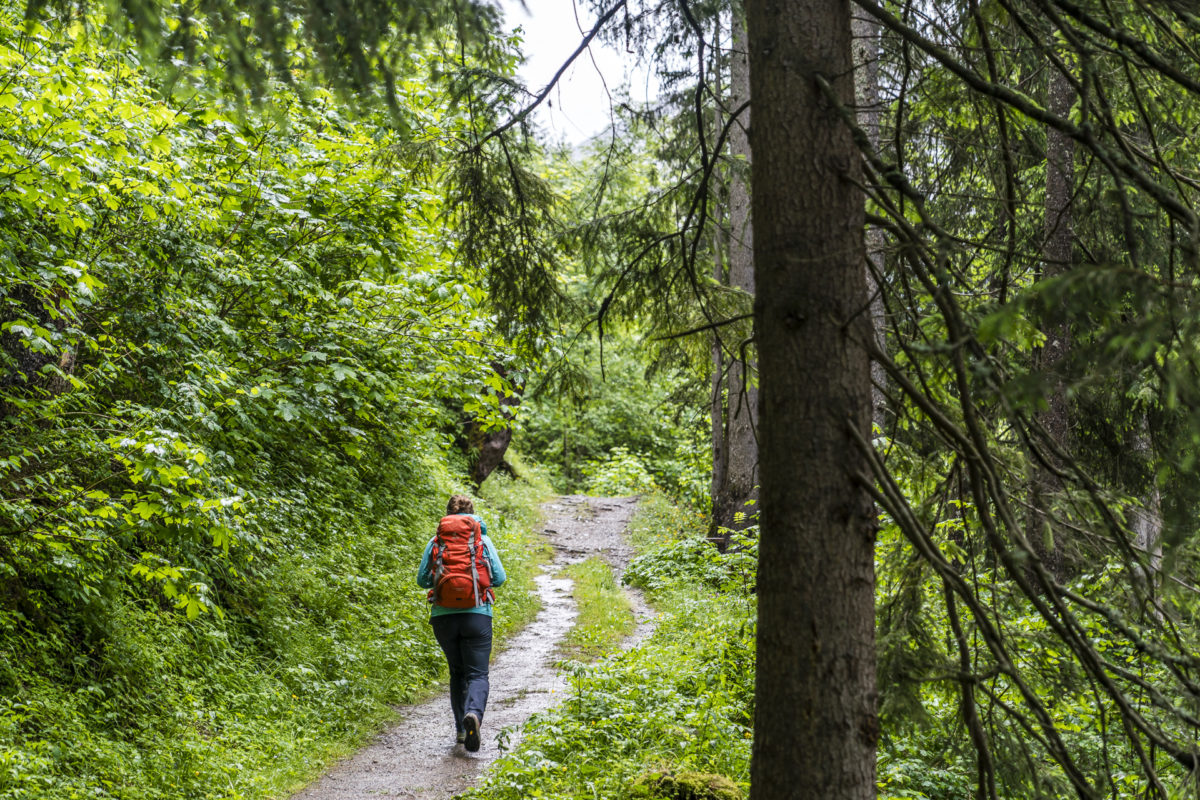
The hike starts at first, but at a leisurely pace, and leads us through the Lochwald. Even the sun-drenched and correspondingly dry south side of the Rhône Valley presents itself for once in a surprisingly secluded green.
Despite the late start of the hike, not all rain clouds have cleared yet. After about thirty minutes we reach the ledge with the ladders. Technically, the ascent via the ladders is not difficult. However, since these are attached to very sloping places and some are not 100% vertically aligned, it takes a portion of courage to shimmy uphill along the rock ledge. If you are not afraid of heights and feel very afraid of heights, or fear of exposed places, you have the option of avoiding the spot via the Valais Sun Trail (approx. 30 minutes walking time). Personally, by the way, I am not at all emotionless in this regard – anyone who has already read my via ferrata excursions here knows that I feel quite challenged by such routes. But I also like to challenge myself again and again – quite consciously – and was amazed at how calmly I was able to deal with this situation when I climbed the albine ladder.
Stopover in the charming Godswärgjistubu
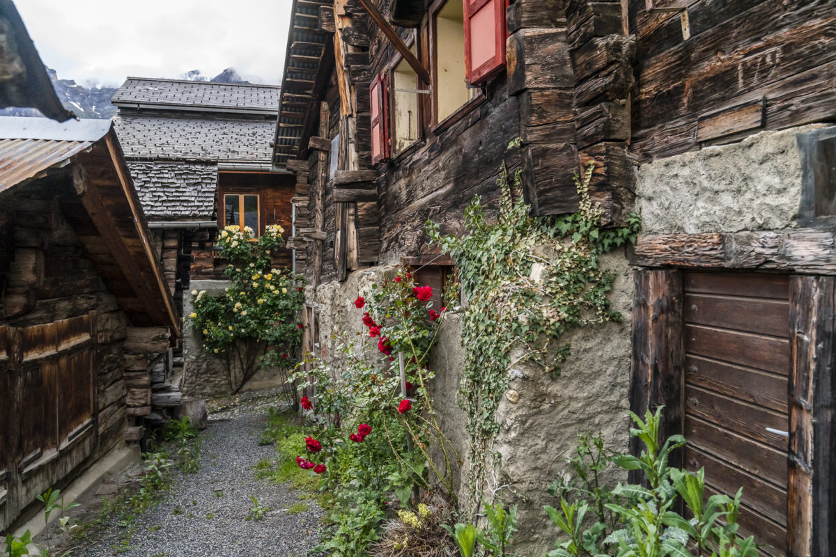
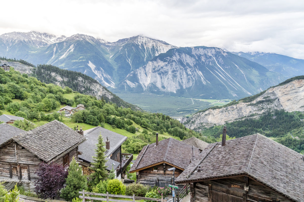
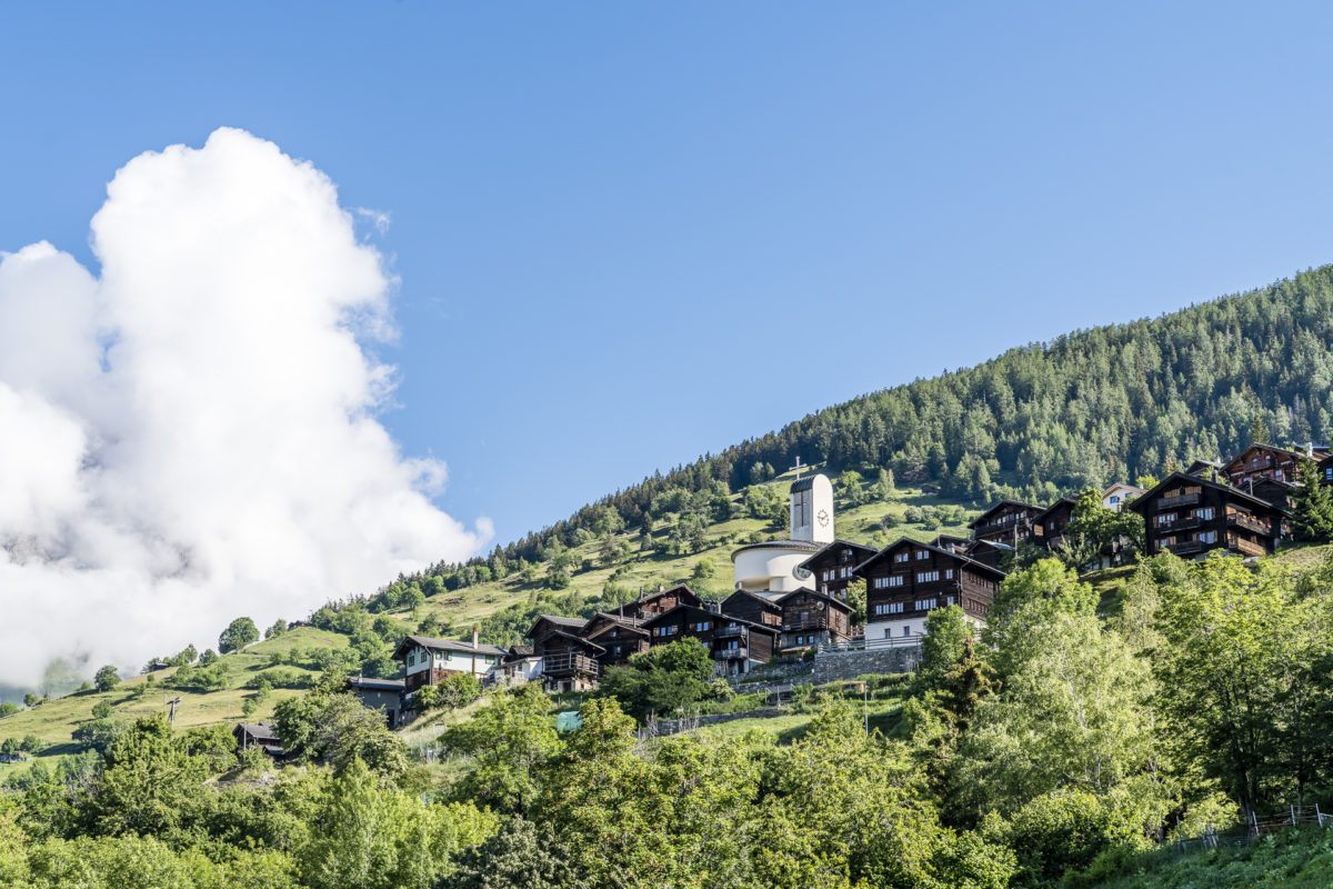
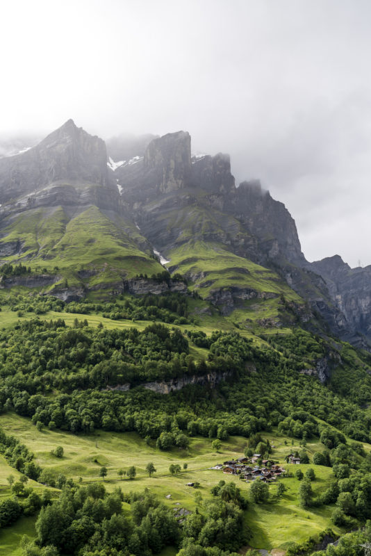
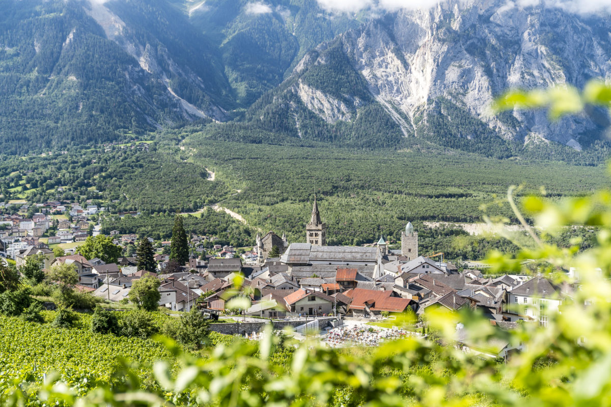
Once the 100 metres of altitude have been overcome via Albinen ladders, it is not far to the village centre of the typical Valais mountain village. Albinen, with its compact village centre and uniformly south-facing buildings, lives up to all clichés. Some of the foundations of the approximately 200 wooden houses are already 400 years old. Only the massive church, depending on the direction of view, looks a bit like a foreign body in this otherwise uniform structure. The old church had to be demolished after an earthquake and was replaced by a modern building at the end of the 1950s.
If you follow the signs of the “Egguweg“, you will be guided to 17 special corners of Albinen and will find a lot of exciting background information on the natural and cultural treasures of Albinen, which is classified as a townscape of national importance.
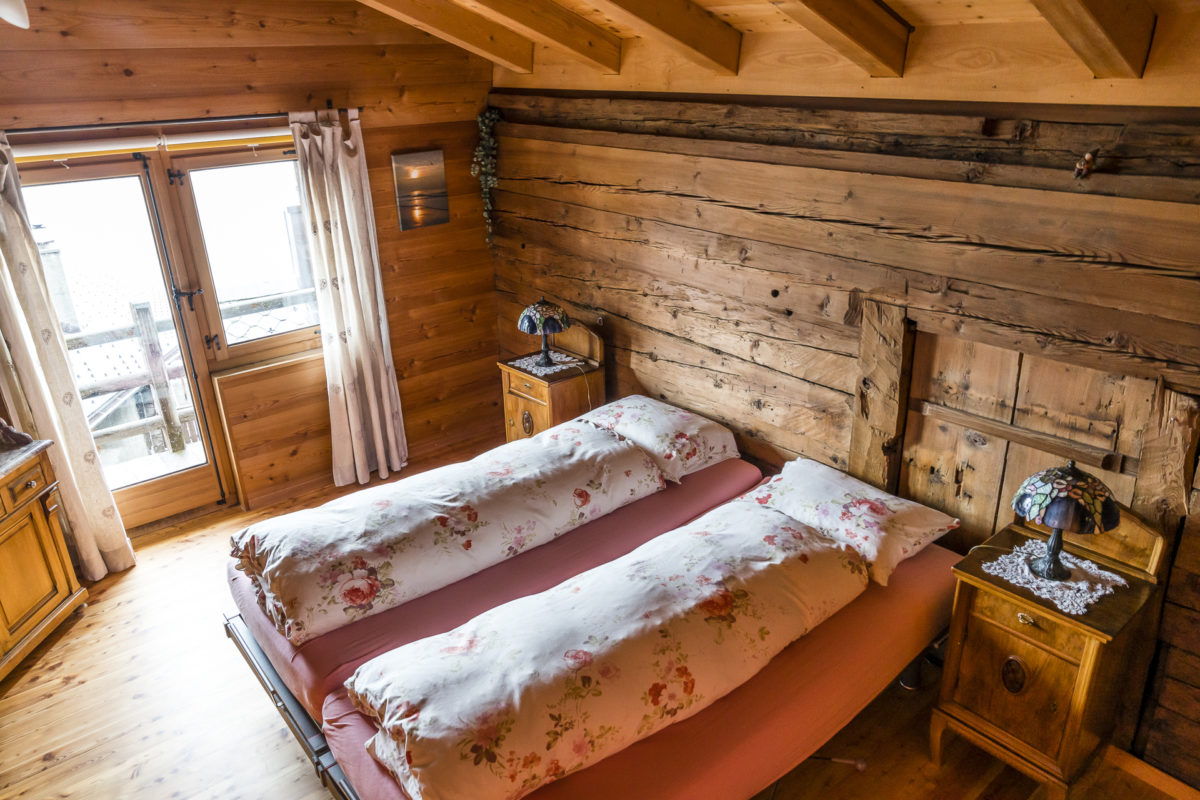
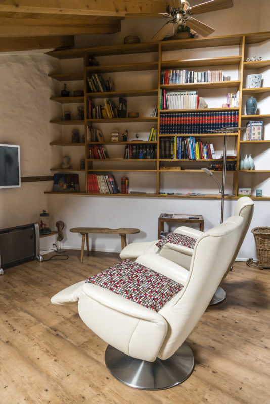
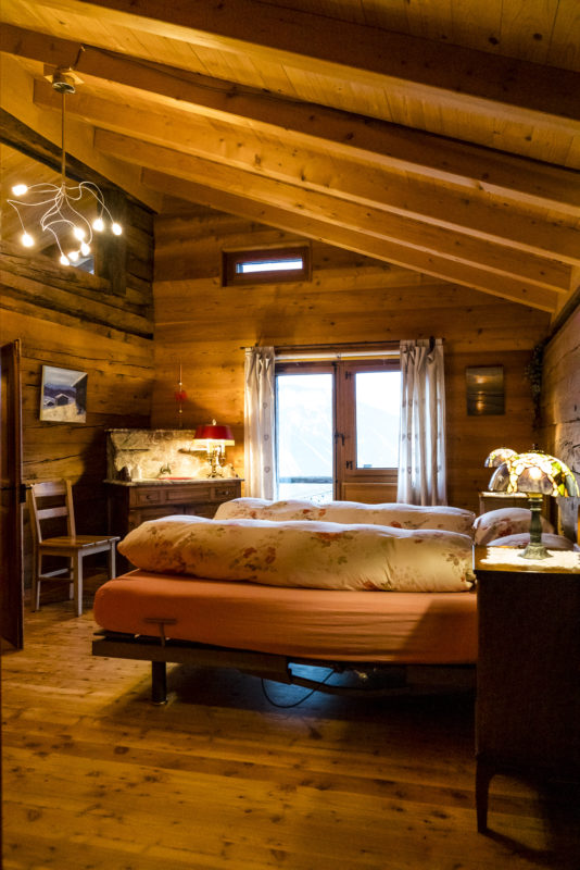
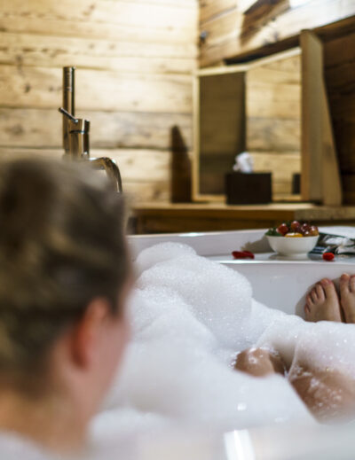
In the middle of the village centre – right next to the church – is the restaurant Godswärgjistubu. Tucked away at the back of the restaurant is the Godswärgji Suite – a comfortably furnished parlour with an adjoining bedroom and bathroom. The perfect place to stay for a night. The bed-and-breakfast offer of the Godswärgjistubu includes an overnight stay with breakfast (150 CHF for 2 people) or a freshly cooked, seasonal and regional 4-course menu for a total of 240 CHF (including bed and breakfast for 2 people).
I had received this overnight tip as an addition to my recently published list of recommended hotels and hostels and can confirm – the Godswärgjistubu definitely belongs on it.
What makes the cuisine here special is the fact that the host couple consistently uses products that thrive in Valais fields, pastures and meadows. The soup is refined with wild herbs, the salad comes from our own garden and for the main course fish from Raron is served in addition to fine baked potatoes and kohlrabi.

Day 2: through the Pfyn Forest from Upper Valais to Lower Valais
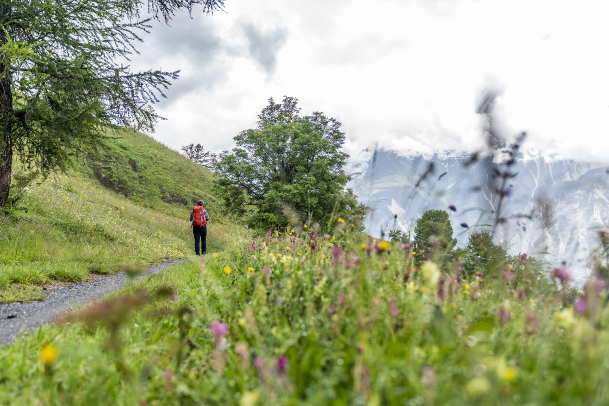
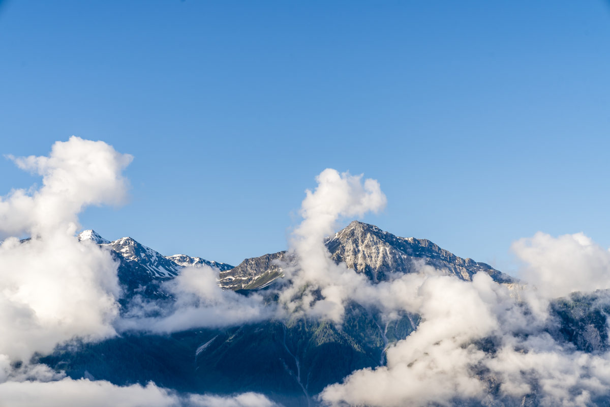
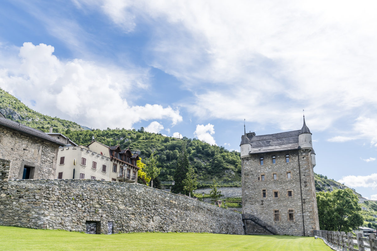
The next morning, the Illhorn vis-à-vis presents itself to us a little friendlier than when we arrived, where everything was cloudy. After a delicious breakfast with home-baked spelt bread and freshly picked cherries, we leave the Godswärgjistubu and the pretty town centre of Albinen behind us and hike along old mule tracks down to Leuk-Stadt. Even from a distance, the eye-catching glass dome that adorns the head of the defiant bishop’s castle catches the eye. This comes from the star architect Mario Botta, under whose direction the castle is renovated and put to a new use. Anyway, I’m surprised by the abundance of historic buildings in Leuk-Stadt – admittedly, I had never really consciously noticed this part of the train station below.

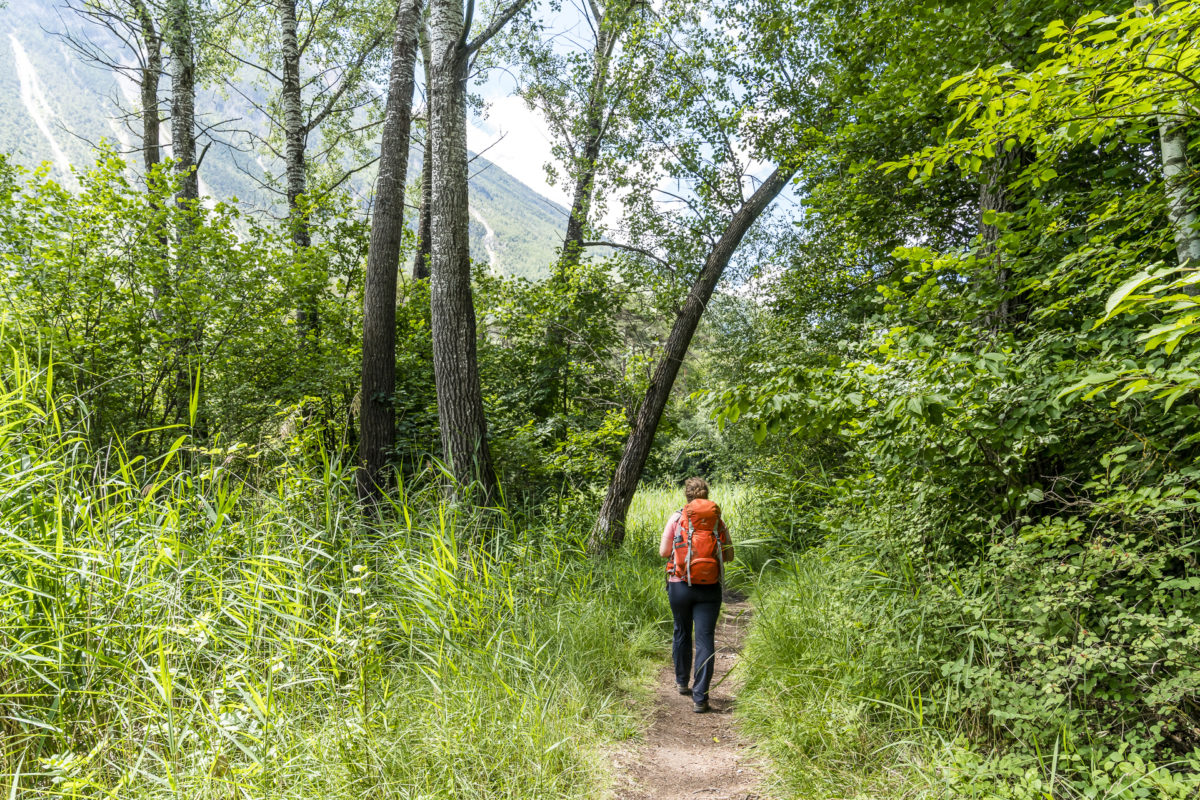
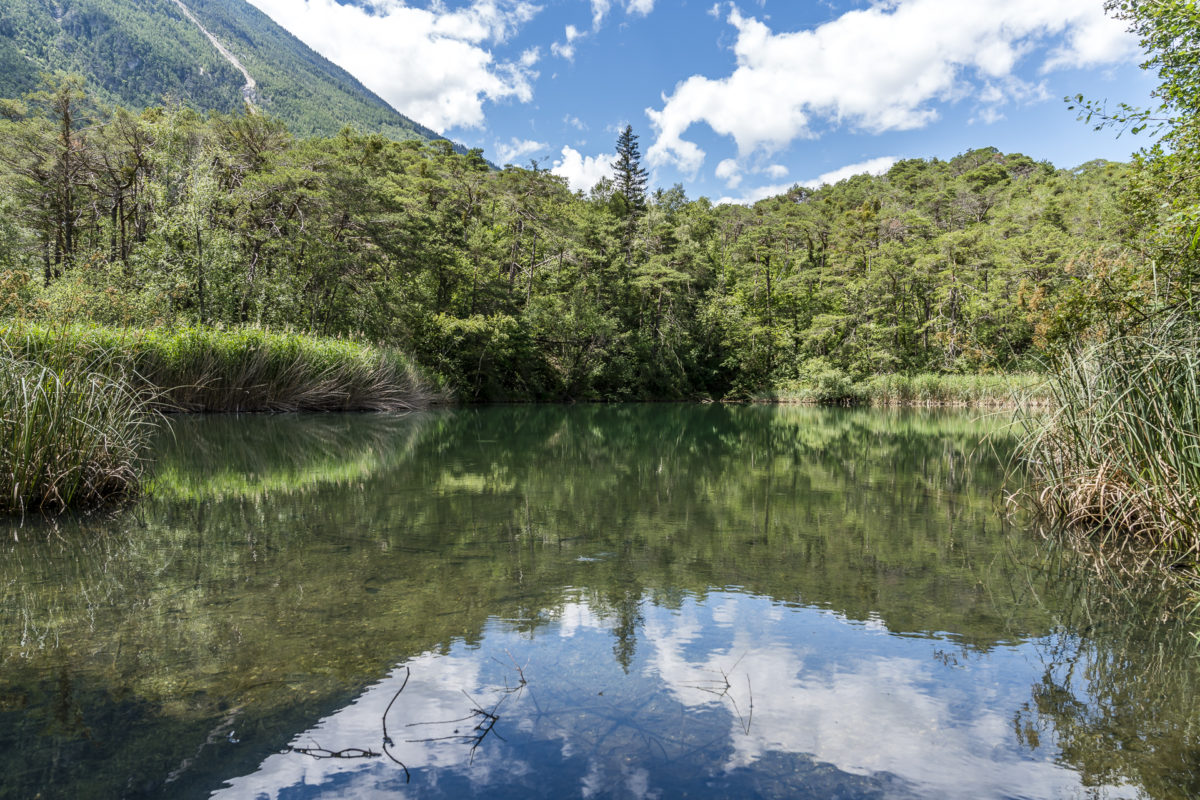
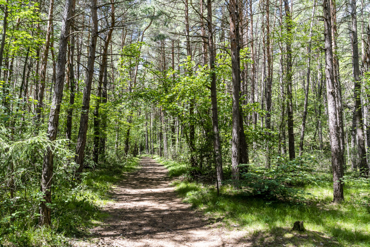
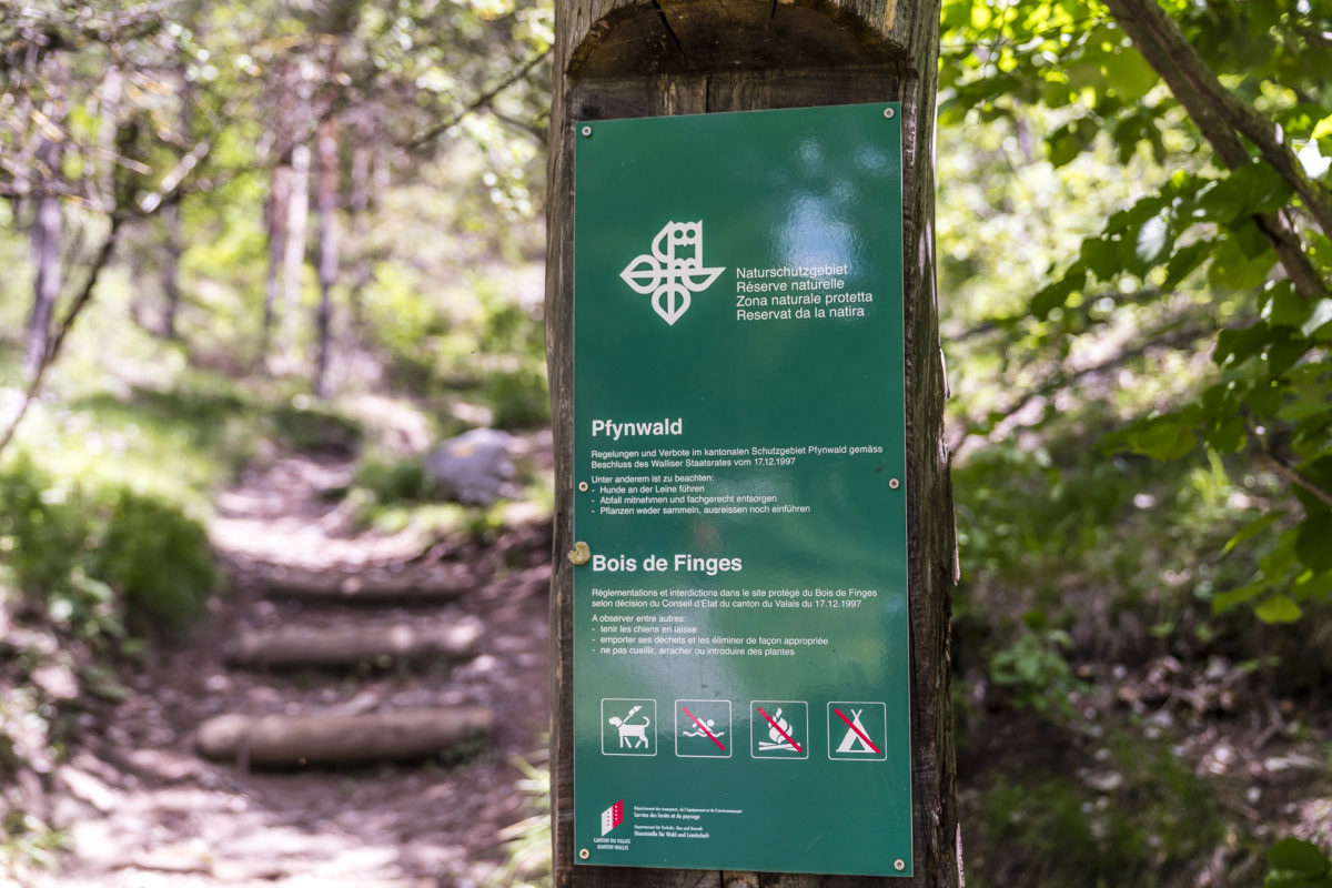
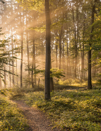
We follow the signpost via Leuk train station in the direction of Susten. This is where the protected area of the Pfyn-Finges Regional Nature Park begins, which includes the unique landscape around the Illgraben and the Pfynwald – one of the largest contiguous pine forests in the Alps still in existence. Alluvial forests, sandy beaches, steppe landscapes – the Pfynwald with its varied landscape structure is a paradise for rare plants and animals and can be experienced from different perspectives on various signposted tours.
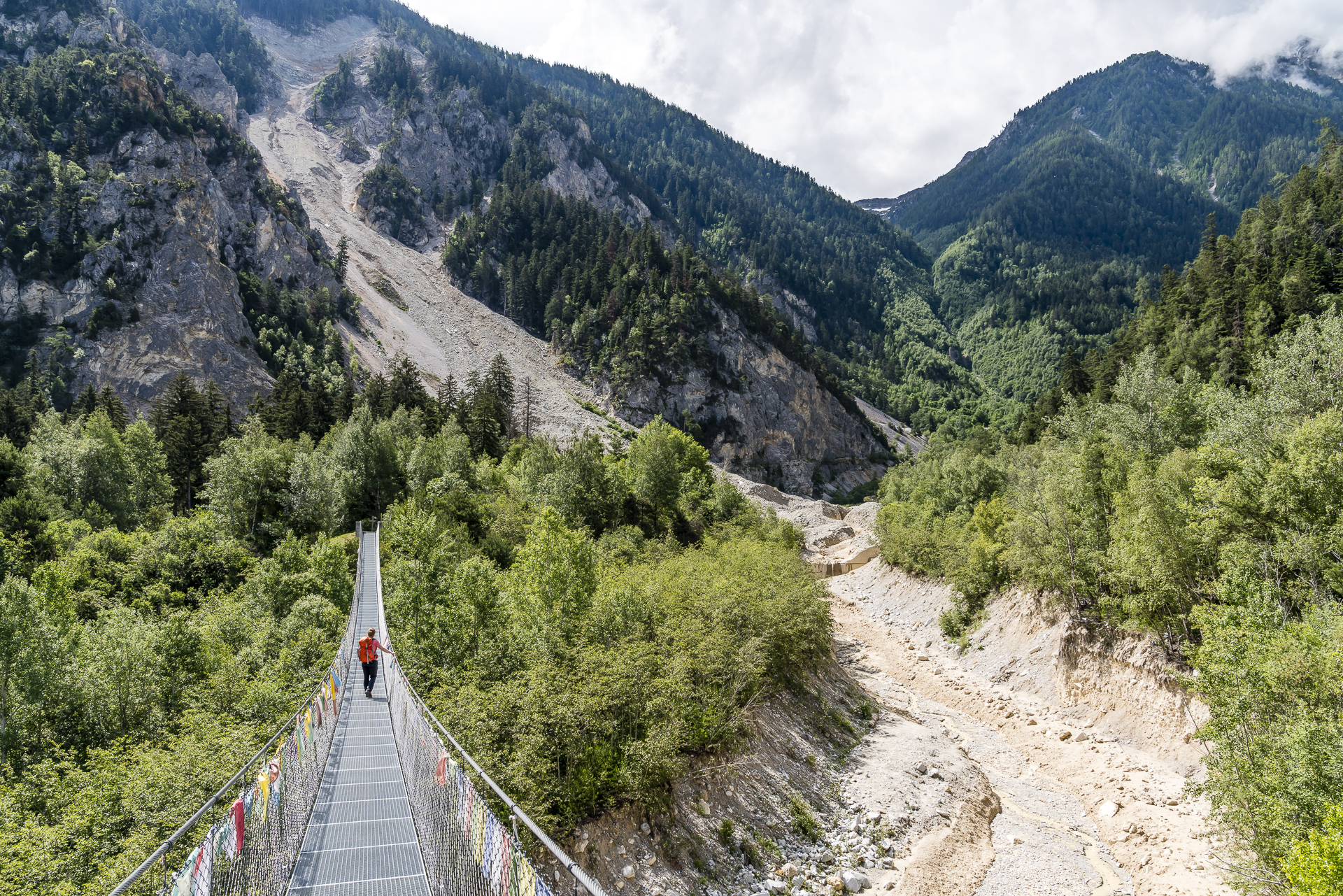
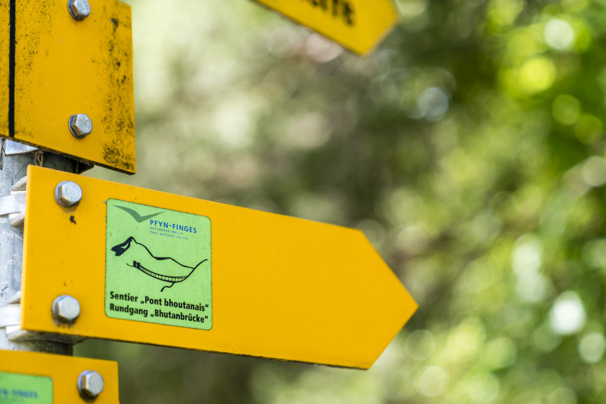
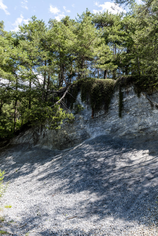
The classic leads from Leuk along the Illbach to just before the Illgraben. This imposing basin was formed in the 14th century after a landslide and is now one of the most active Murrinnen in Switzerland. For a good 15 years, the 134m long Bhutan Bridge has not only offered thrills, but also an exciting insight into the active erosion terrain. Symbolically, the Illgraben – and thus the Bhutan Bridge – also stands for the transition from the Upper to the Lower Valais. Once the bridge has been crossed, there are various path options to choose from.
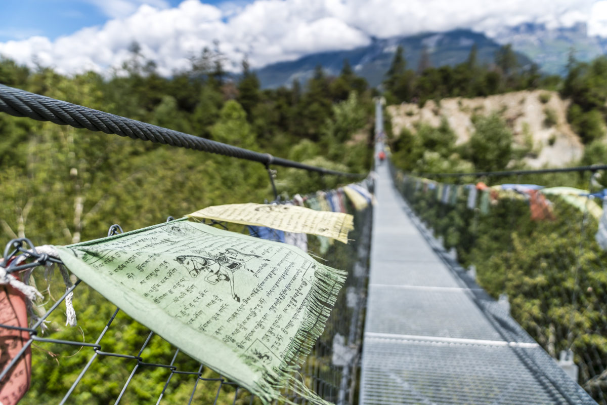
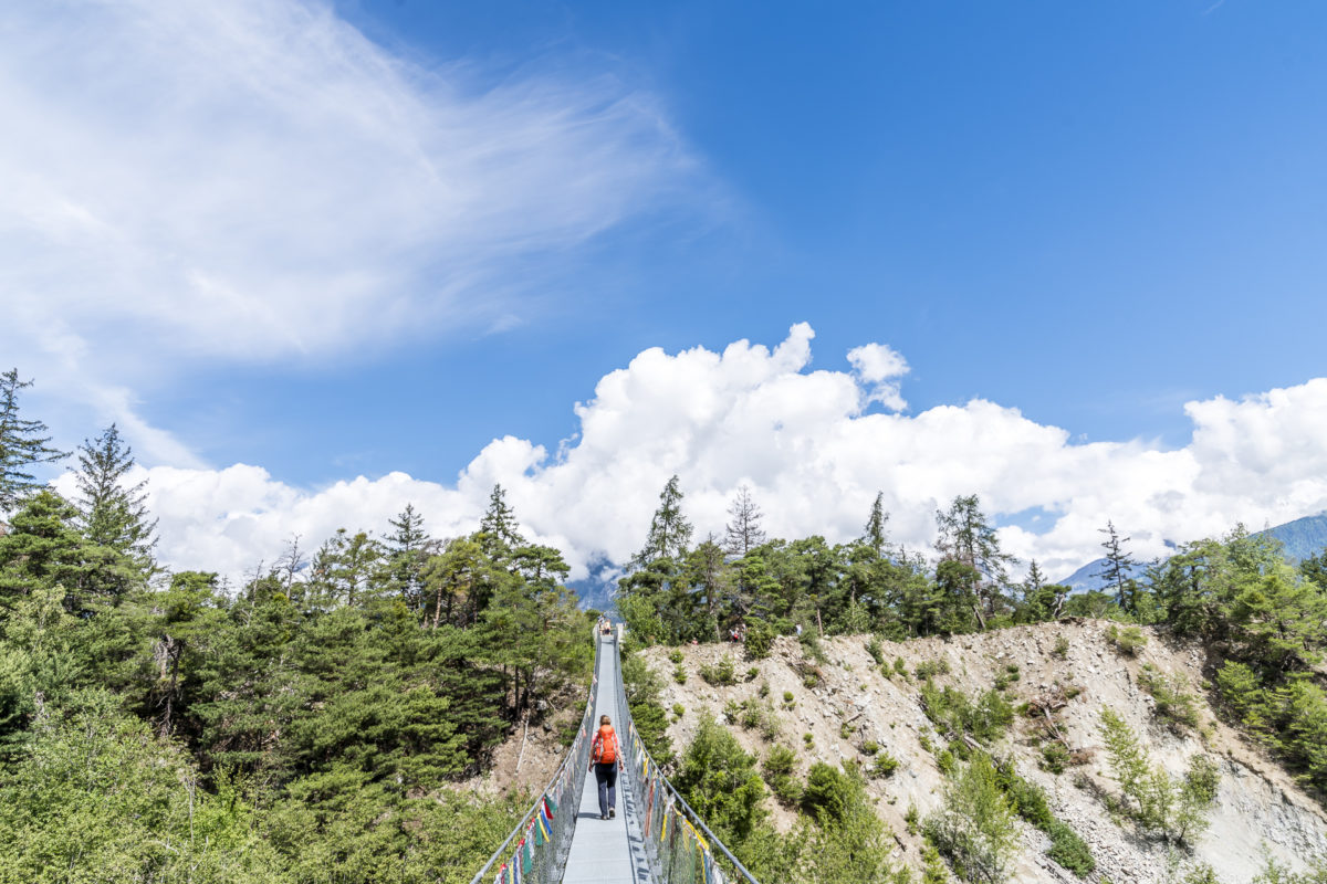
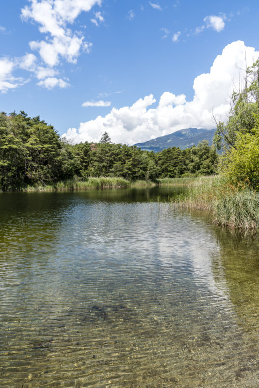
We follow a wide gravel path, which leads along the edge of the slope through sparse forests and extensive dry meadows and then takes us via Gut Pfyn into the lower Pfynwald. Here, too, the landslide helped to shape the special structure of hills and ponds. The Pfynwald is and remains a fascinating place for me even after this crossing – on the one hand it is so wild and diverse, on the other hand it is also deserted by numerous infrastructure buildings (including clearly visible gas pipeline corridors, high-voltage lines, the motorway). A tour that once again showed me the fragile line between the needs of our society and landscape conservation.
Practical tips for your hike from Leukerbad to Sierre
The route of our hike from Leukerbad via Albinen and then on via Pfynwald to Sierre can be seen on the following map. The first stage, almost 7 kilometres from Leukerbad to Albinen, runs mainly on the Valais Sun Trail. Only the Albine Ladders are not part of the Sun Path – but if the ladders are too adventurous for you, you can easily switch to the Sun Path and bypass the section. The biggest ascent is in the area of the albine ladders, with a total of around 320 metres of altitude to overcome. It took us just under two hours to cover the distance. Due to the shortness of the tour, this can easily be combined with a later arrival in Valais – we did not start until 4:00 p.m. in Leukerbad.
The hike through the Pfynwald usually starts in Leuk town or at the Leuk train station below. We accepted the additional four kilometers (about an hour’s walking time) from Albinen to Leuk mainly because the post bus connection between the two villages is only offered very irregularly and sometimes rather cumbersomely (with changes). Therefore, you are almost faster and, above all, more flexible on foot. From Leuk via the Bhutan Bridge to Sierre, there are another 13.5 kilometres and 370 metres of elevation gain. We needed about 4.5 hours for the entire route, whereby we chose the direct path connection in the Pfynwald and did not take the loop via the Pfyn monument.
Due to the low altitude, this tour is suitable for late spring/early summer as well as autumn, when there is still – or already – snow at higher altitudes.
Leukerbad – Albinenleitern – Albinen: Key data of the 1st tour
| Starting point | Bus station Leukerbad |
| Length | 6.7 kilometers |
| Elevation gain | ↗ 335 m 424 m ↘ |
| Duration | 2:00 p.m. |
| Destination | Bus stop Albinen, Post Office |
Albinen – Bhutan Bridge – Pfynwald – Sierre: Key data of the 2nd tour
| Starting point | Bus stop Albinen, Post Office |
| Length | 17.8 kilometers |
| Elevation gain | ↗ 373 m 1,115 m ↘ |
| Duration | 4:30 p.m. |
| Destination | Bus stop Sierre, Ile Falcon |



Leave a Reply