


Val-de-Travers – La Brévine: Hike to the “Siberia of Switzerland”
The Val-de-Travers is no stranger to the starting point for varied hikes. Among the most popular tours are the hike through the Areuse Gorges and the ascent to the Creux-du-Van, both of which start in the small village of Noiraigue at the entrance to the valley. But even further “back” in the valley, some exciting routes await hikers who like to explore; for example, the steep ascent from Fleurier to the Haut de Vy – one of the few mountain trails in the region (the majority of hiking trails in the Jura are signposted as “hiking trails”), the gorge path through the Poëta-Raisse or the old trade route “La Vy aux Moines“, which leads to the “Siberia of Switzerland”.
The decision was not easy for me, but in the end “La Vy aux Moines” won the race – on this hike there is still a geological feature to visit: the Glacier de Monlési – an ice cave in the middle of a Jura pasture.
On old trade routes from Môtiers to la Brévine
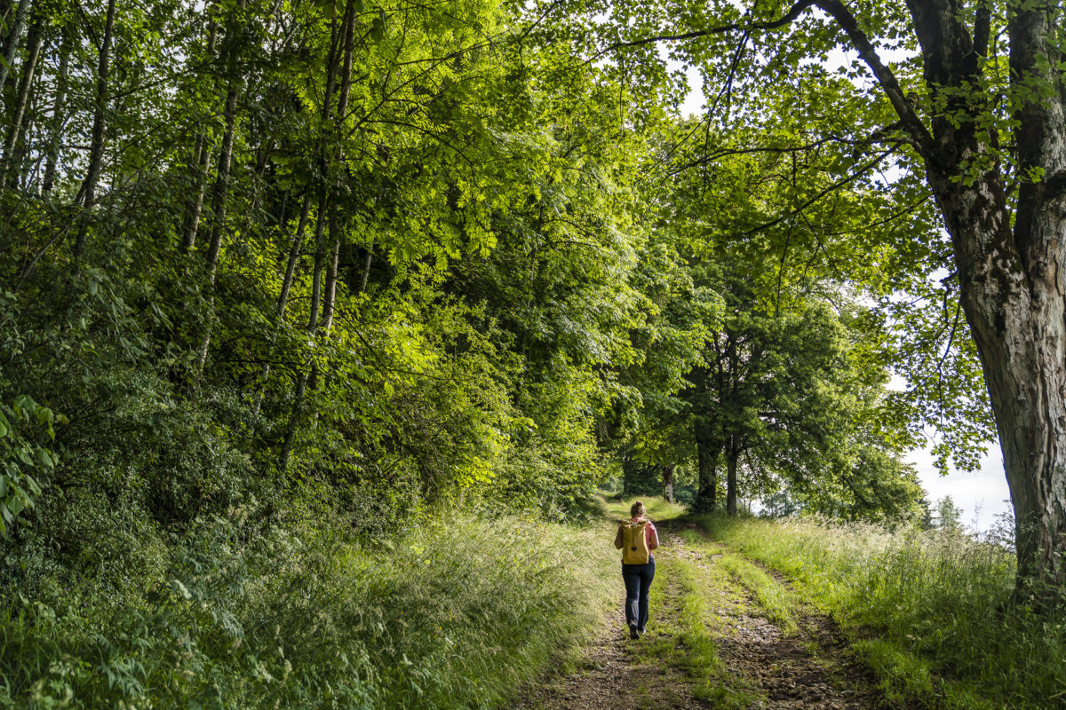
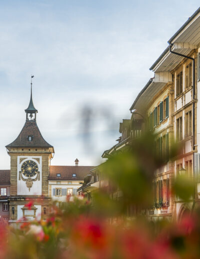
We start the tour in the pretty main town of the Val-de-Travers. The most famous attraction of Môtiers is probably the Maison de Absinthe, which I visited two years ago. This time we turn our backs on the village centre of Môtiers quite quickly. The hiking trail signal leads us over the Areuse to the other side of the valley to Boveresse. This is where the ascent up to the hills starts. “La Vy aux Moines” is a cross-border hiking trail that runs along medieval trade routes between the abbey in Môtiers and that of Montbenoît in France.
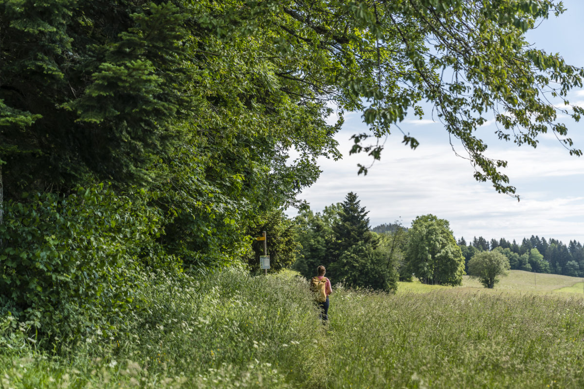
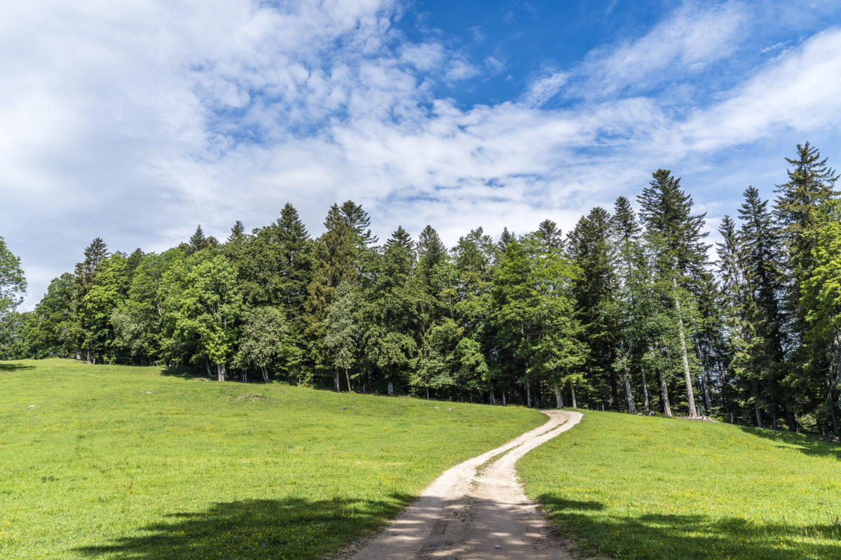
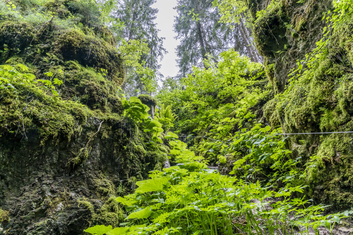
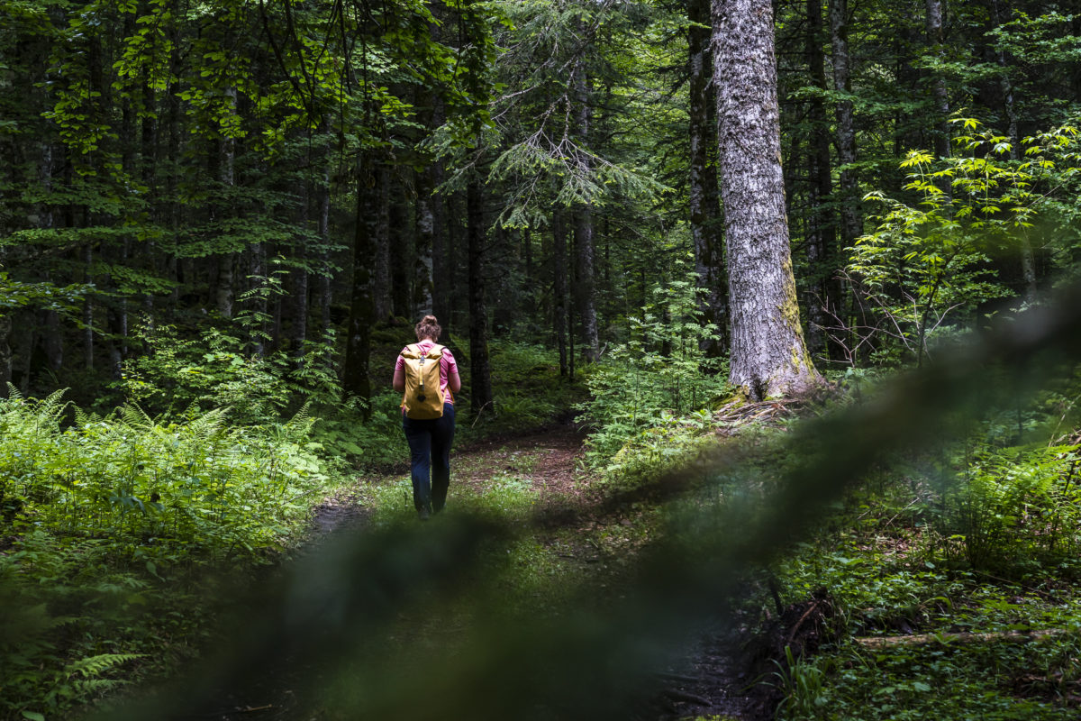
And even though the steep ascent requires a few drops of sweat from me, I enjoy hiking along the narrow, rooted forest paths that zigzag past old giant trees. Not far from the “Tilleul des Catholiques” (a lime tree several hundred years old), there is a bench in the middle of the forest and an information sign with explanations about the “Ly Vy aux Moines”.
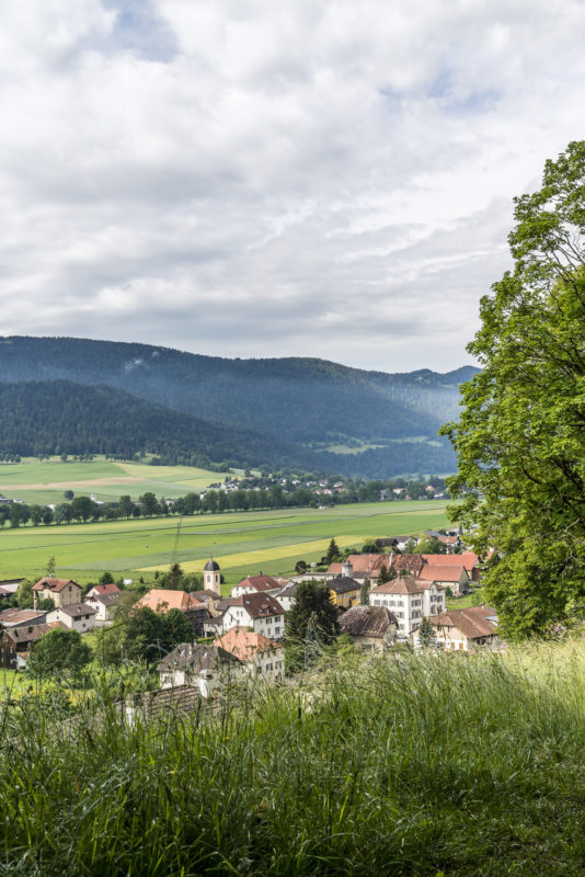
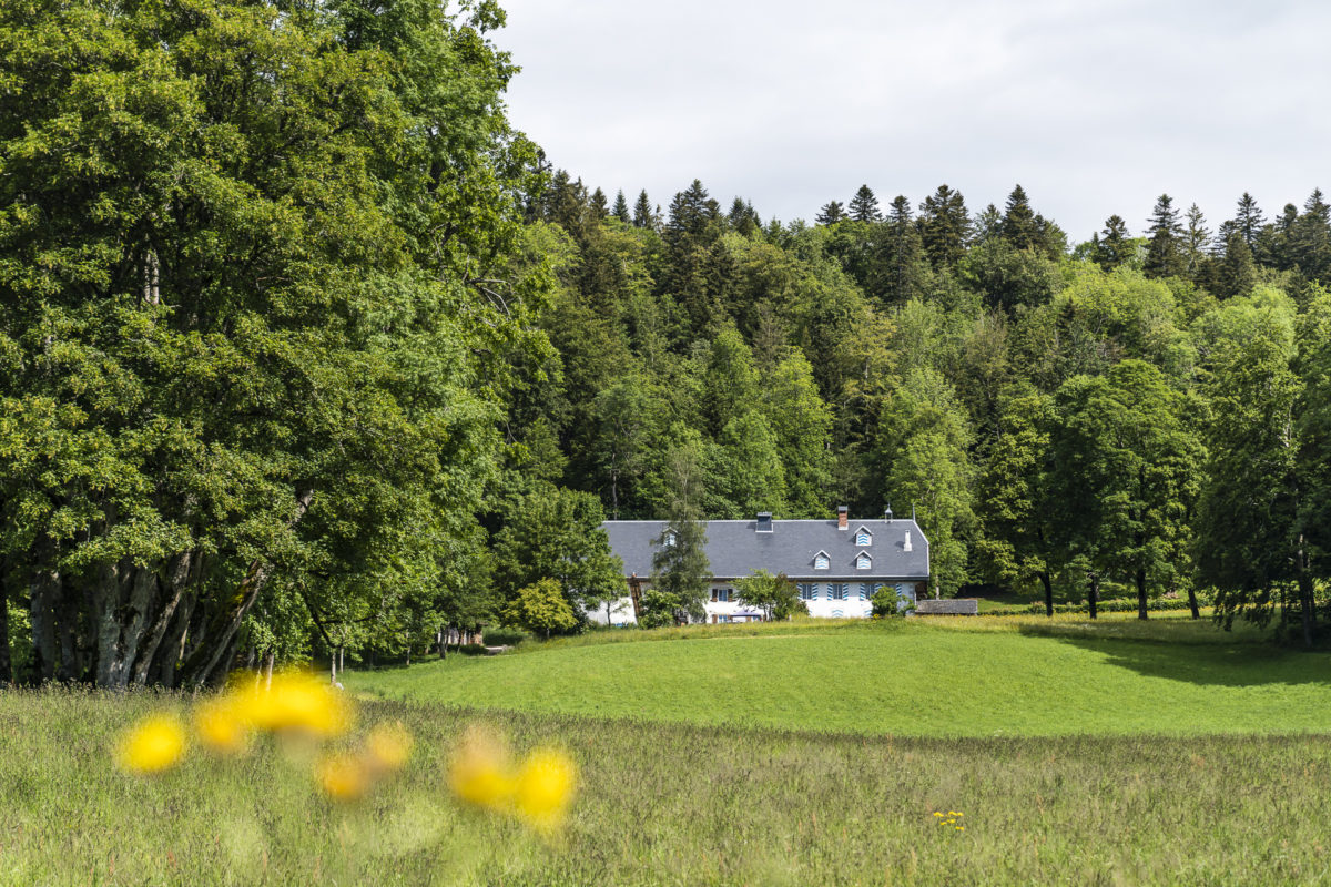
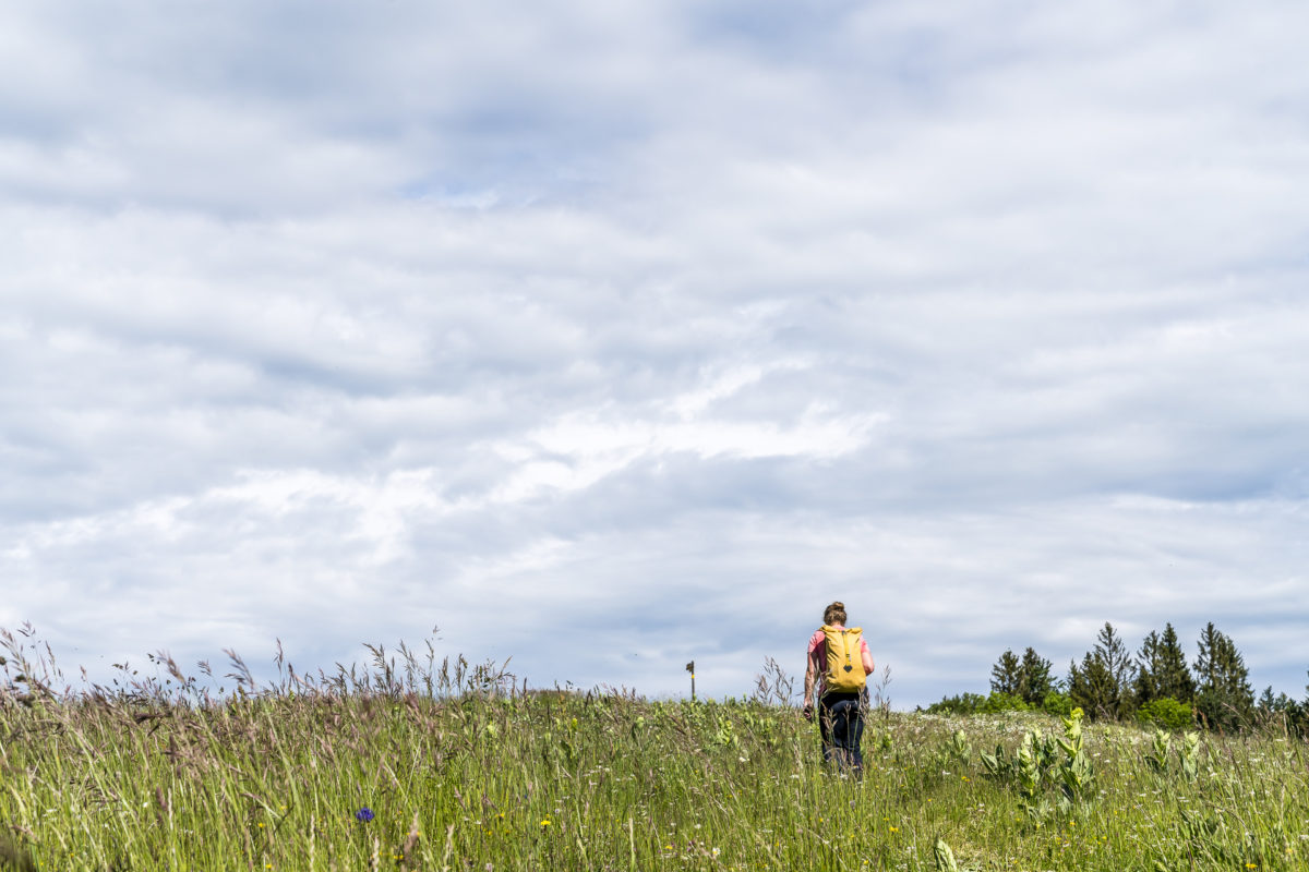
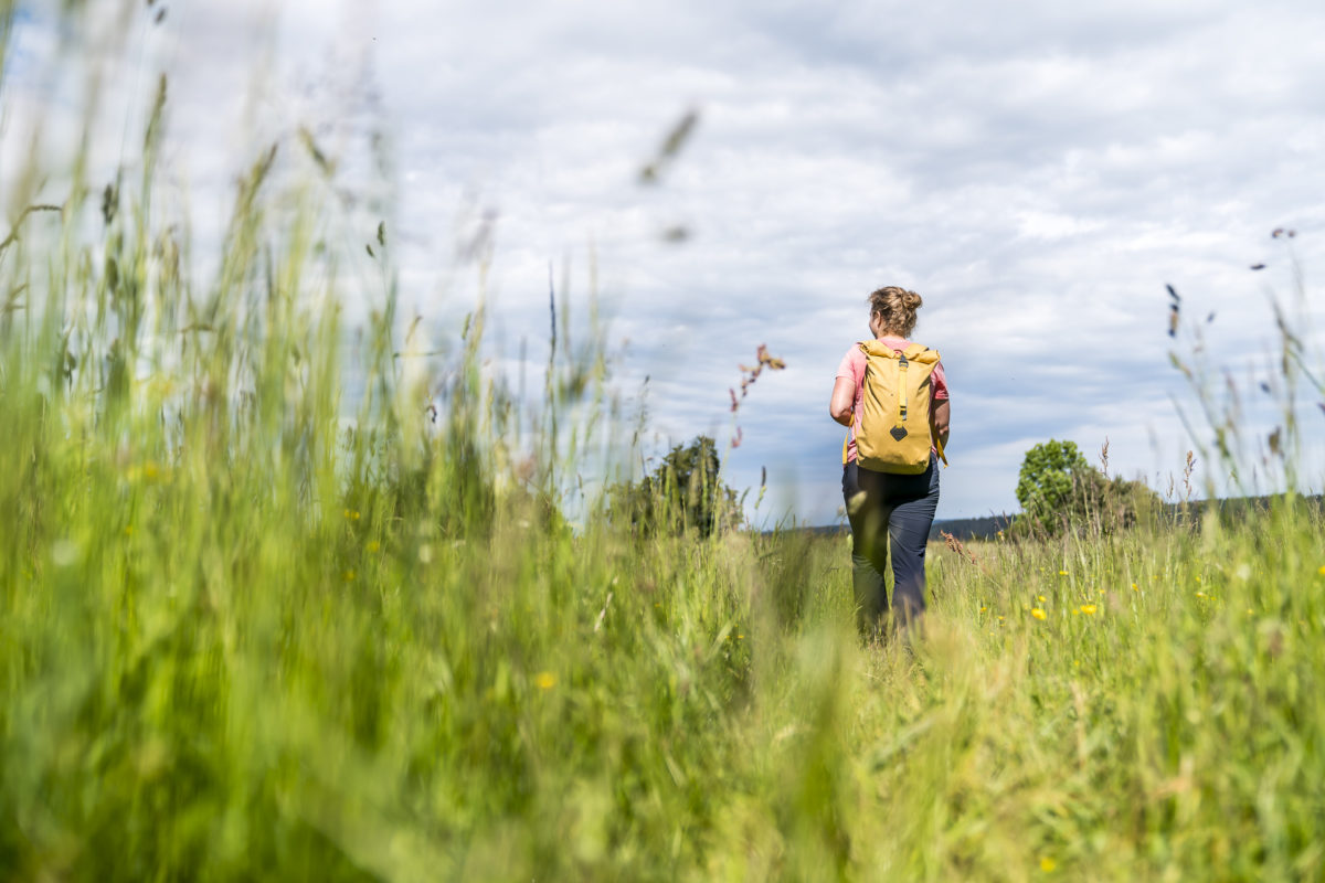
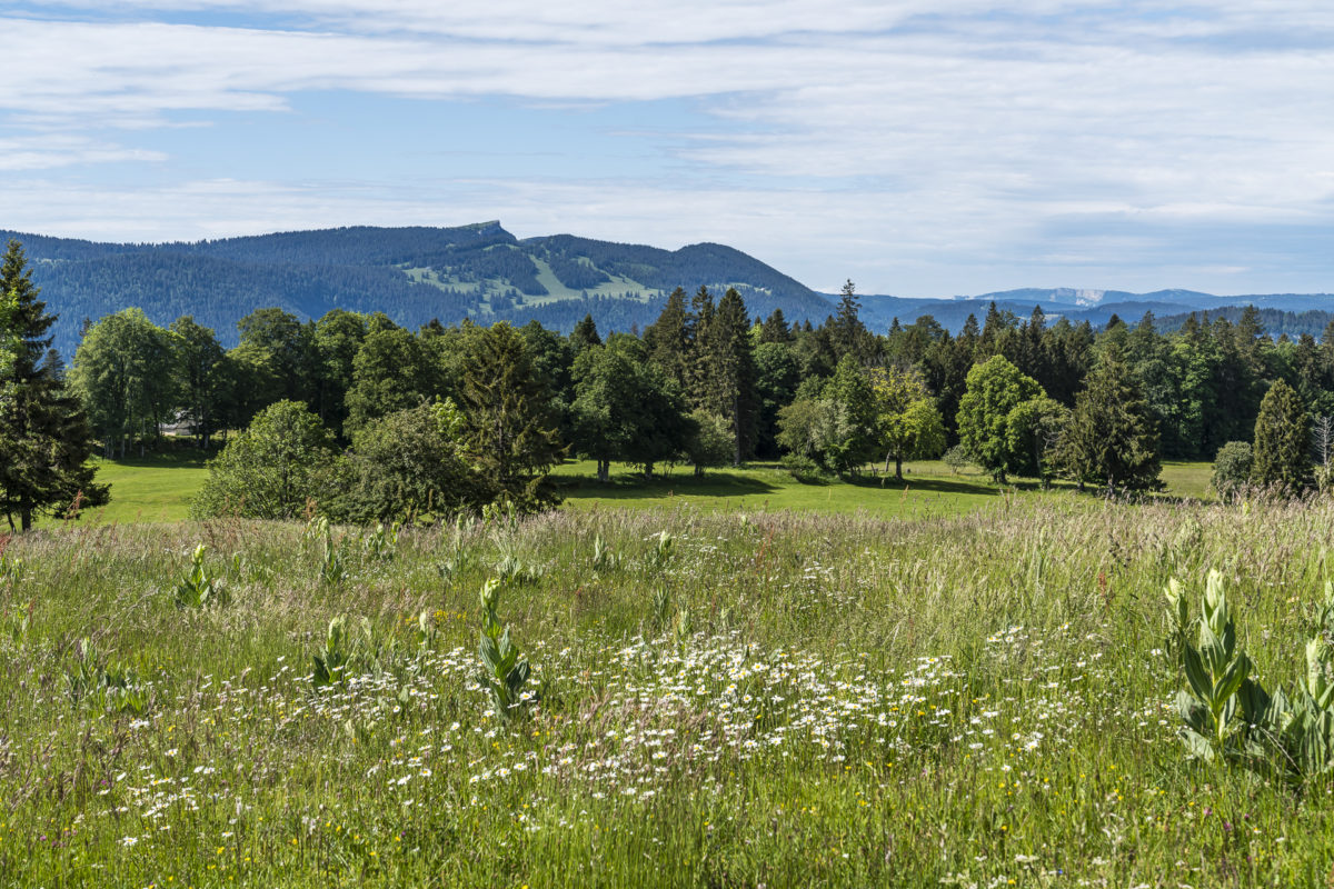
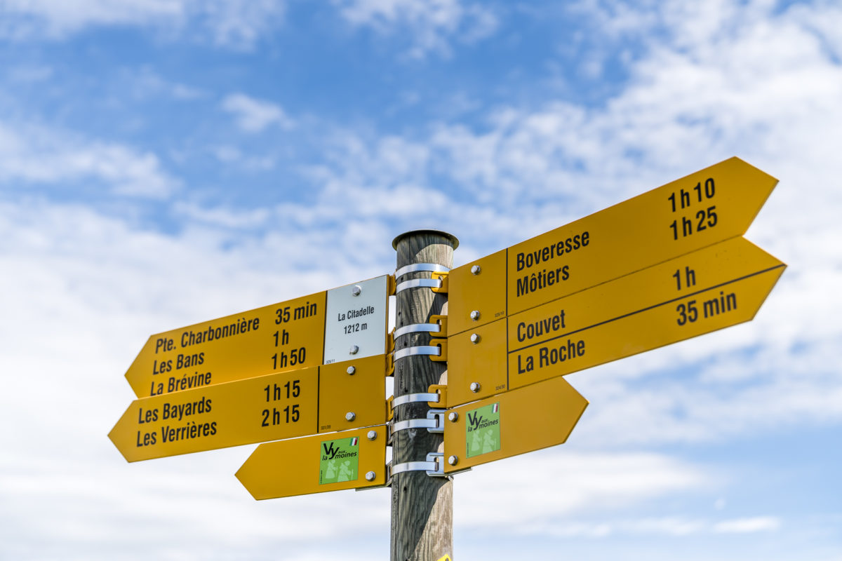
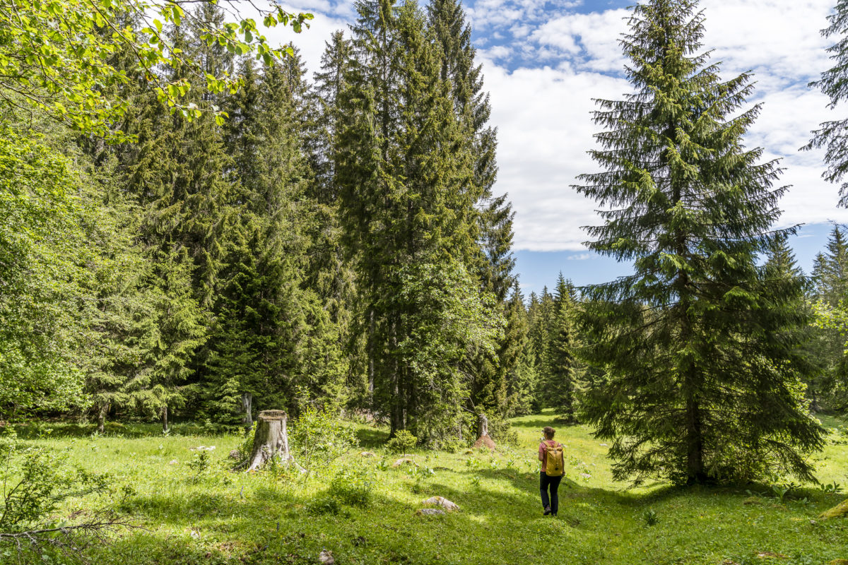
Shortly afterwards, the forest thins out and merges into the typical landscape mosaic of the Jura plateaus – an alternation of groups of trees, dry stone walls, hedge plantings and open pastures. At the highest point of the tour – the Signal des Français at 1,212 metres above sea level – we enjoy a great panoramic view including a view of the Chasseron, where we passed a few weeks earlier on our 2-day hike on the Jura High Trail.
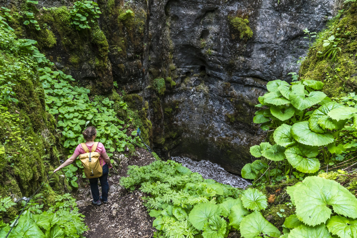
Detour to the fascinating Glacier de Monlési
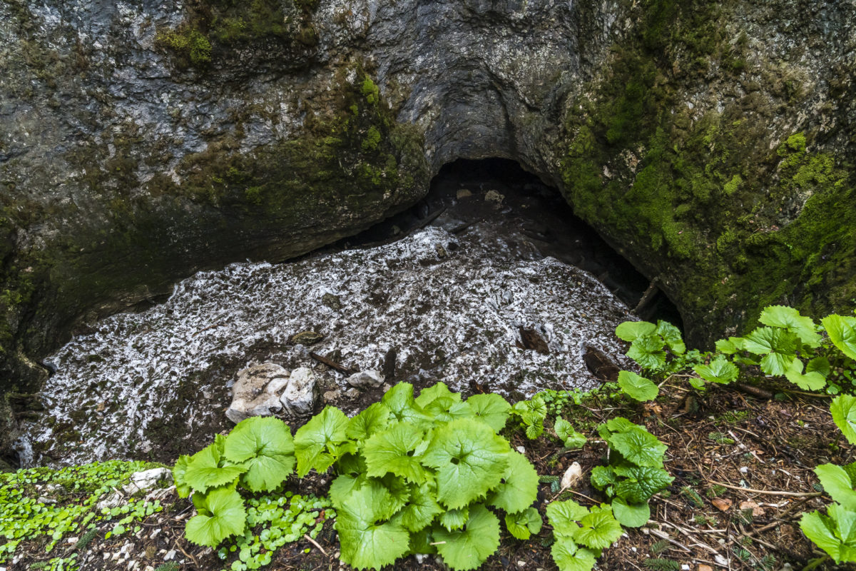
Between the Signal des Français and the Lac de Tailleres, in the middle of the vast Jura pastures, there is another geotope of national importance. The “Glacière de Monlési” is a permanently icy cave and contains an average of around 6,000m3 (according to the information board on site). Such “incisions” or caves can be found in large numbers in the Jura: the Glacière de Monlési, however, is the largest of these ice grottoes. It is fascinating that the ice here lasts all year round thanks to the inclusion of cold air, although the average annual temperature in the area – despite the proximity to the “Siberia of Switzerland” 😉 – is in the range of 5 degrees Celsius (and probably rising).
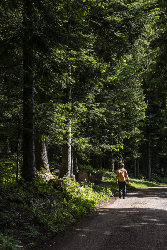
The turn-off to the Glacière de Monlési is not signposted on any hiking trail sign along “La Vy aux Moines”, so it is advisable to take a closer look at the map at the level of “Petit Charbonnière”. The direct connecting path from the hiking trail towards the “Glacière de Monlési” is marked “Private”. Therefore, we continue to the next junction of the hiking trail and turn right towards the Moulin de la Roche.


After a good 20 minutes walk through the forest, we reach the imposing ice grotto. Due to the lack of appropriate equipment, we refrain from descending to the ice-covered floor of the grotto. In principle, however, this is freely accessible – with the appropriate equipment. But the detour is also worth it just to take a look into the depths and feel the cold that flows from the bottom to the top. Cooling off is guaranteed here even in midsummer.
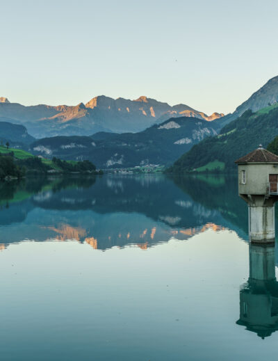
Panoramic view at Lac des Taillères
We then return to the junction on the same path, where we resume the path to the north. This is followed by another section of classic Jura pastures – until we soon spot the glittering surface of the Lac des Taillères between the tree trunks.
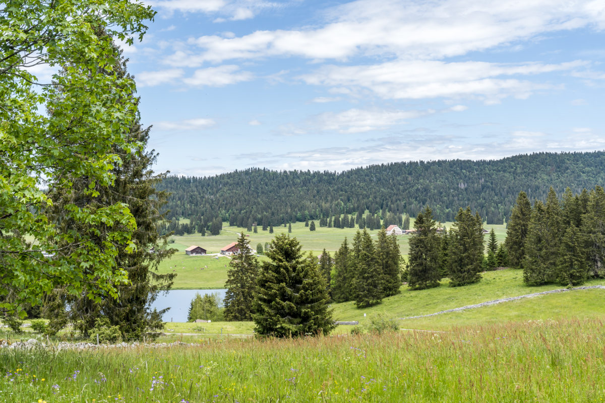
Apart from Lake Neuchâtel, the largest lake in the canton of Neuchâtel stretches over a length of almost 2 kilometres and characterises the appearance of the Vallée de la Brévine. The high valley is often referred to as the “Siberia of Switzerland” because double-digit minus temperatures are not uncommon here in winter and a Swiss cold record of -41.8 degrees Celsius was also recorded in January 1987. While the lake freezes quickly in winter due to its shallow depth (it is fed exclusively by rainwater, rivulets and smaller springs in the lake and has no major above-ground inflow/outflow) and mutates into a meeting place for ice skaters, it also warms up quickly in summer. On hot summer days, the Lac des Taillères offers the refreshing final bouquet of the tour. During our visit at the beginning of June, however, it was still a bit too fresh for me.

Depending on your mood, you can linger comfortably on the lakeshore at the end of “La Vy aux Moines” or walk the remaining 2.5 kilometres to the village of La Brévine.
Practical tips for your hike on La Vy aux Moines
The route of our tour along La Vy aux Moines from Môtiers to La Brévine can be found on the map below. We have included the detour to the Monlési ice cave directly into the route and shortened it a bit at the end. We skipped the last 2.45 kilometers from Lac des Taillères to La Brévine and took the bus instead. The distance of this tour variant is 15.5 kilometers. The almost 680 metres of altitude uphill are particularly common in the first section on the ascent from Môtiers to the Signal des Français. We needed almost 4.30 hours for the tour, including a short break at the Glacier de Monlési.
Note that the Glacier de Monlési is on private property and the short path to the ladder, although well secured with wire ropes, has a difficulty level of T3 (hands required). A descent to the ice-covered ground or into the ice cave should only be done with appropriate equipment (helmet, crampons, rope).
Hike Môtiers – La Brévine: key points of our tour
| Starting point | Môtiers train station |
| Length | 15.8 kilometres |
| Elevation gain | ↗ 676 m 372 m ↘ |
| Duration | 4:30 p.m. |
| Destination | Les Taillères, Bout du Lac |
Leave a Reply