



Hiking tip: Through the Rothenthurm moorland into the Ägerital
Mists over the moor, cotton grass, ferns and grasses in earthy rust and gold tones and behind them the colorfully hued Sulzeggwald: around Rothenthurm, autumn shows itself at its best. Our hike takes us on the Alpenpanorama-Weg from Altmatt station straight through the protected Rothenthurm moorland and then over the Raten and the Mangelhöhe to Unterägeri. A varied, roughly four-hour autumn hike through the pre-Alpine landscape between Schwyz and Zug.
Hike start at Altmatt station
The starting point of this hike is Altmatt station between Biberbrugg and Rothenthurm. Note that trains only stop here on request. So be sure to signal your wish to stop in good time! On our tour we couldn’t have relied on anyone else: we were the only ones to get off on this frosty October morning in the nationally protected Rothenthurm moorland.
Frosty crossing of the Rothenthurm moorland
The Rothenthurm moorland is home to one of the largest contiguous raised bogs in Switzerland. The area became particularly well known because of the Rothenthurm Initiative: when the Swiss Army planned to build a weapons training area here, resistance formed against the project. In 1987 the popular initiative was accepted, laying the foundation for the protection of moors and peatlands of national importance across Switzerland.
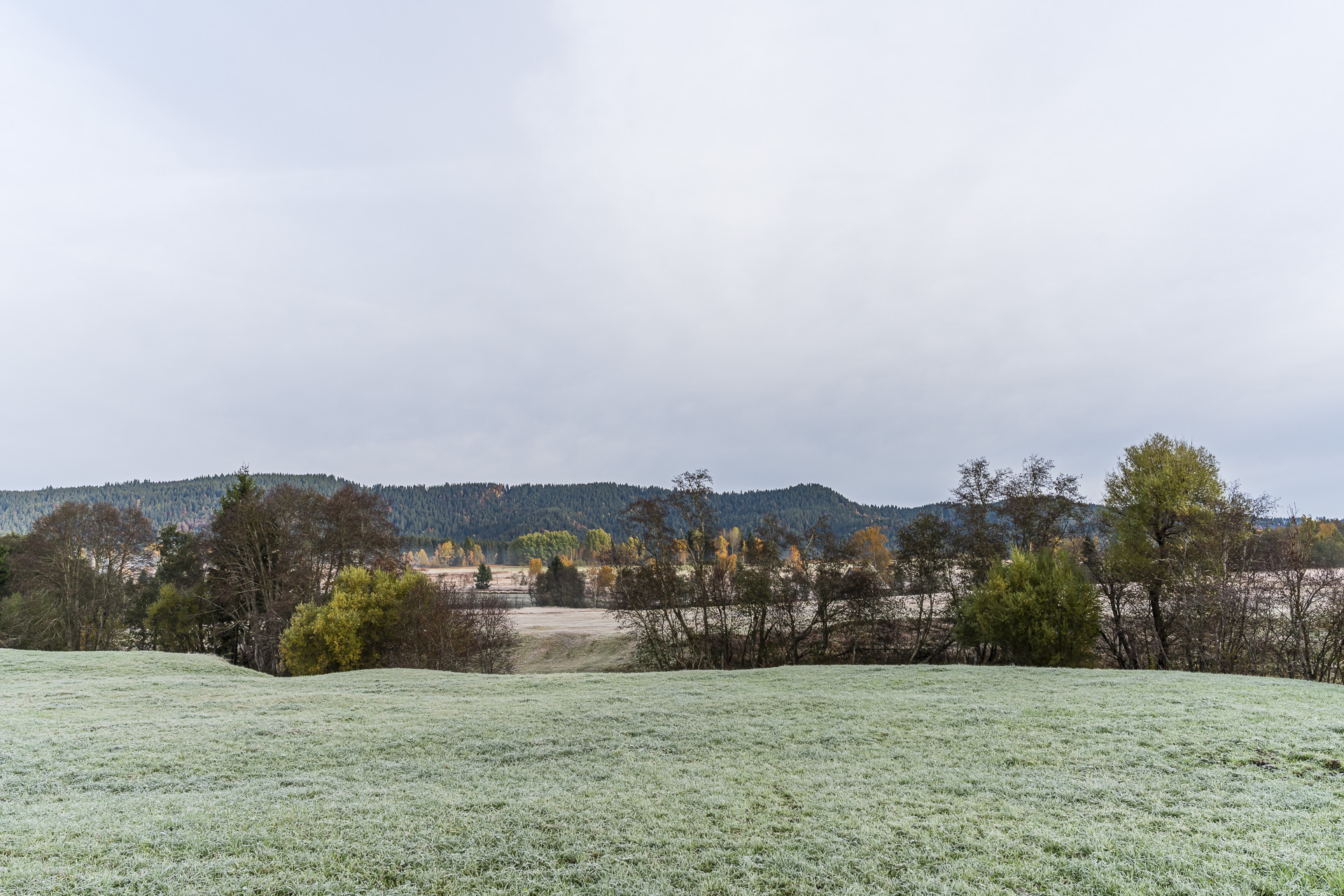
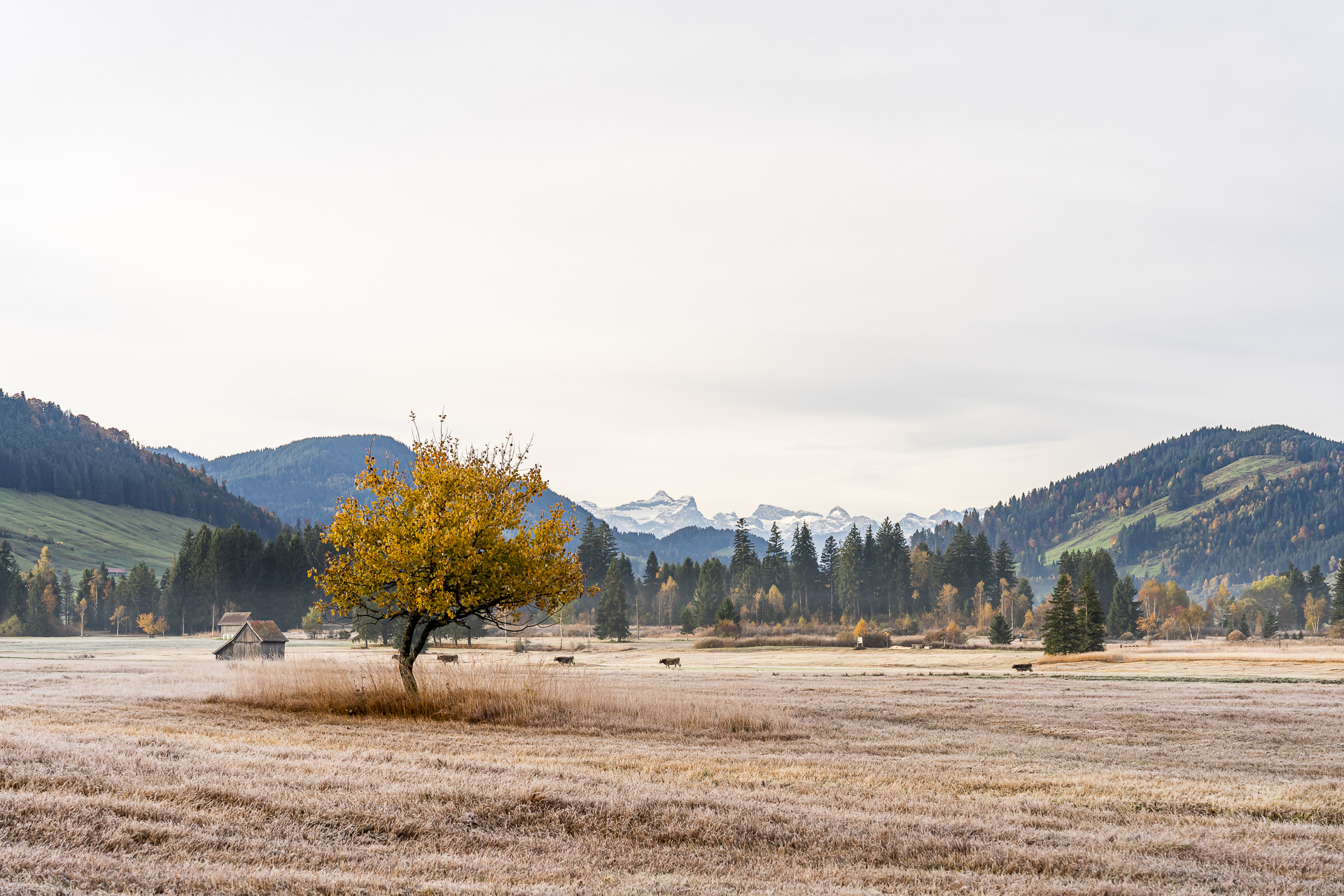
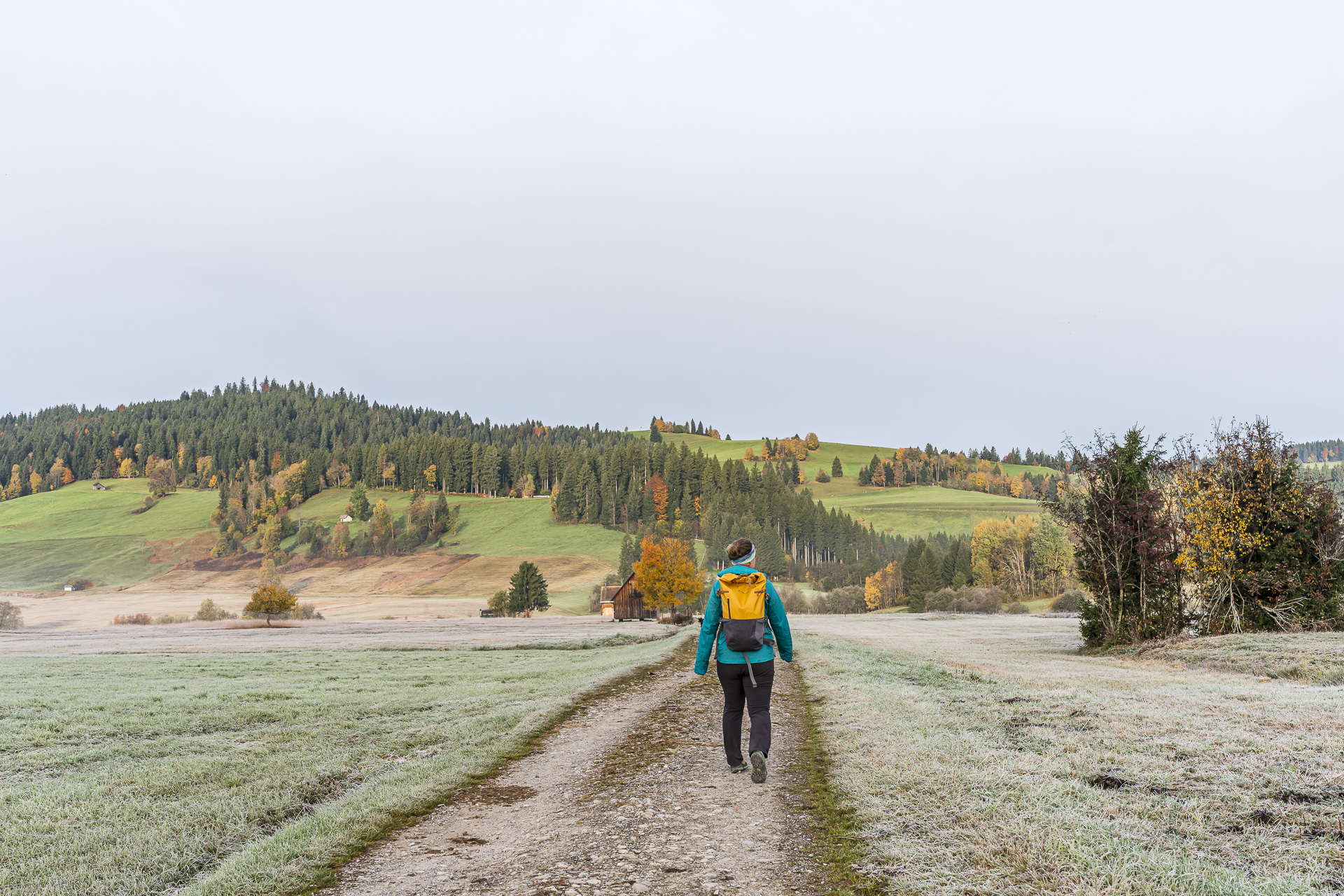
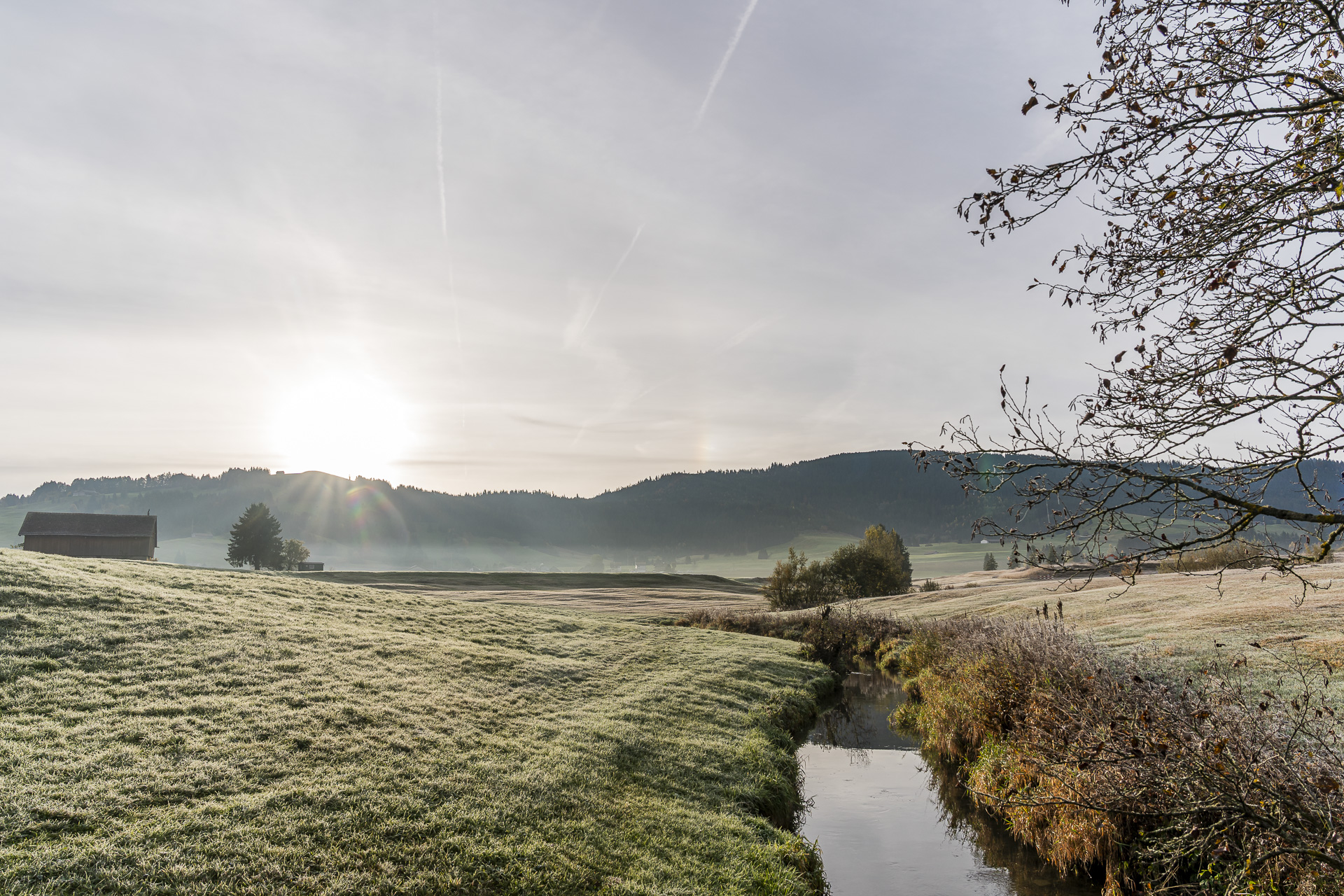
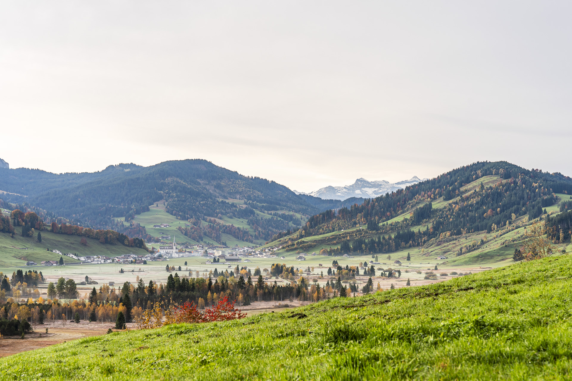
Right from the start the hiking trail leads us straight through the extensive moorland. Wisps of mist still hang over the autumn-colored moor surfaces while the ground is dusted with a thin layer of frost. Between them the little stream Biber winds its way through the plain.
Through the Sulzeggwald up to the Raten
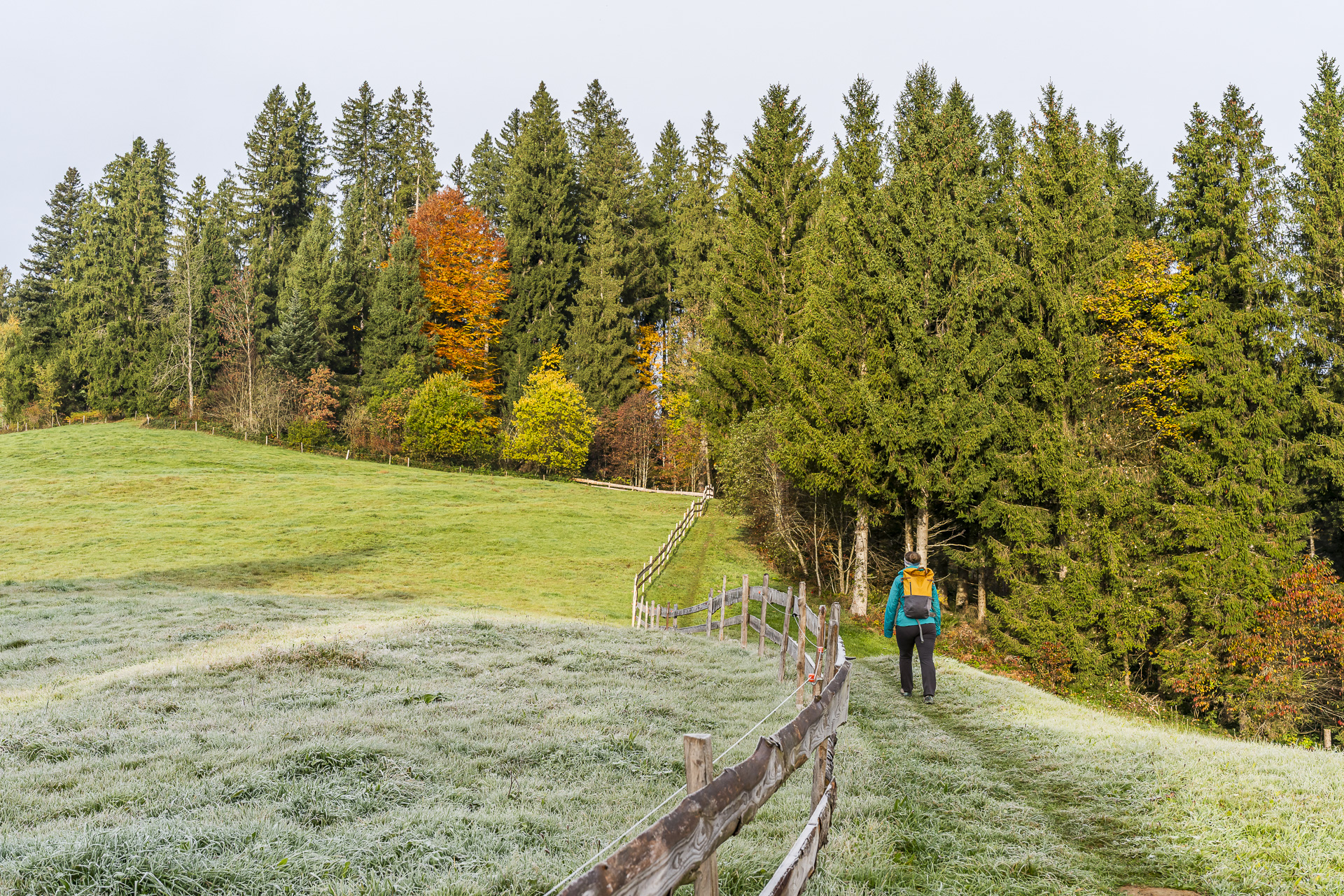
After about a kilometer we reach the Biber footbridge. It’s worth taking a short look back here: from the bridge there’s a nice view of the Biber’s river bends and the surrounding reed meadows. After that we leave the open moorland behind and tackle the ascent toward the Sulzeggwald.
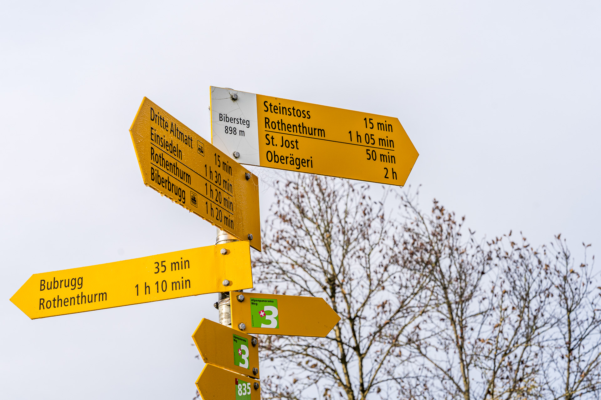
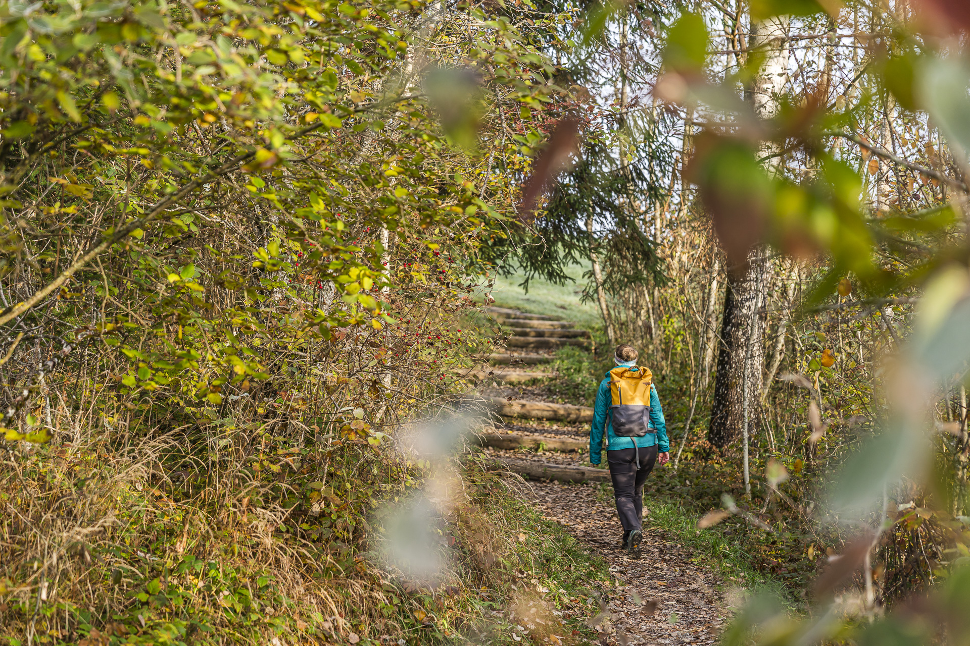
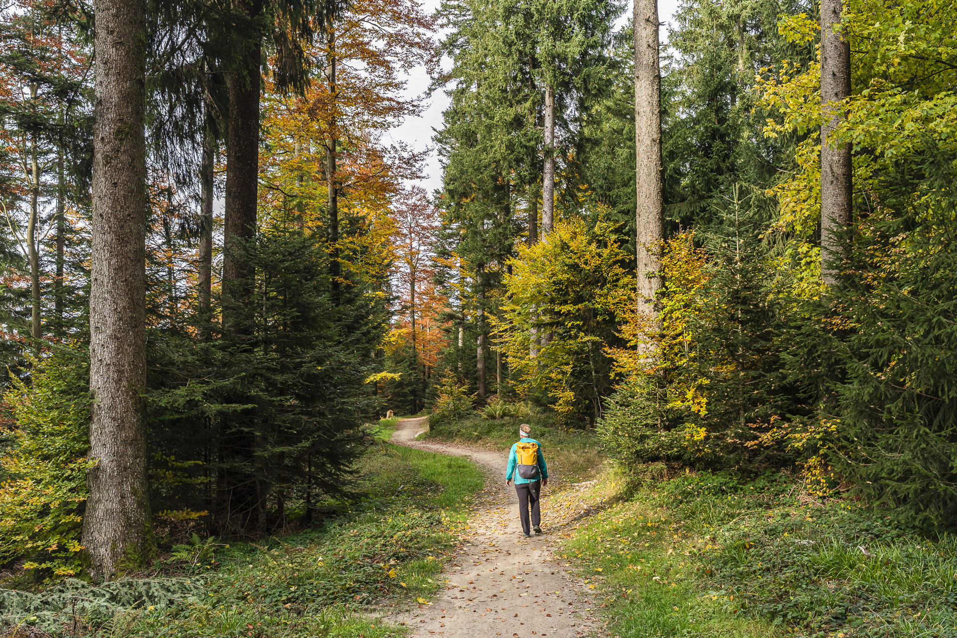
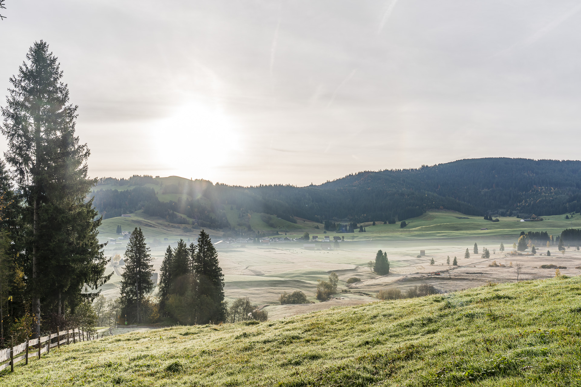
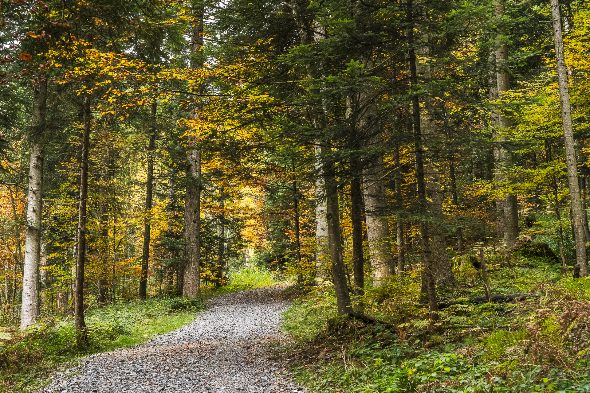
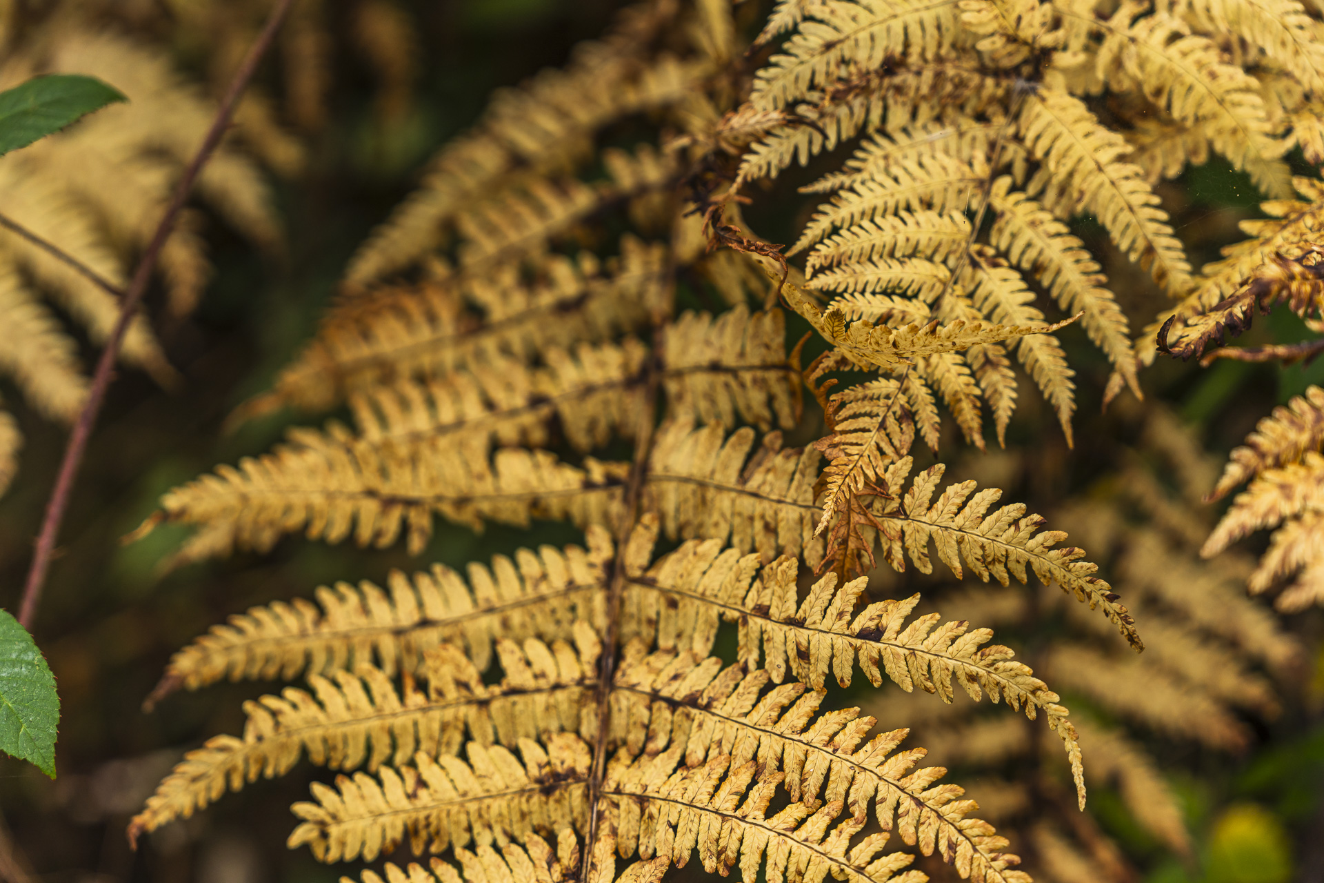
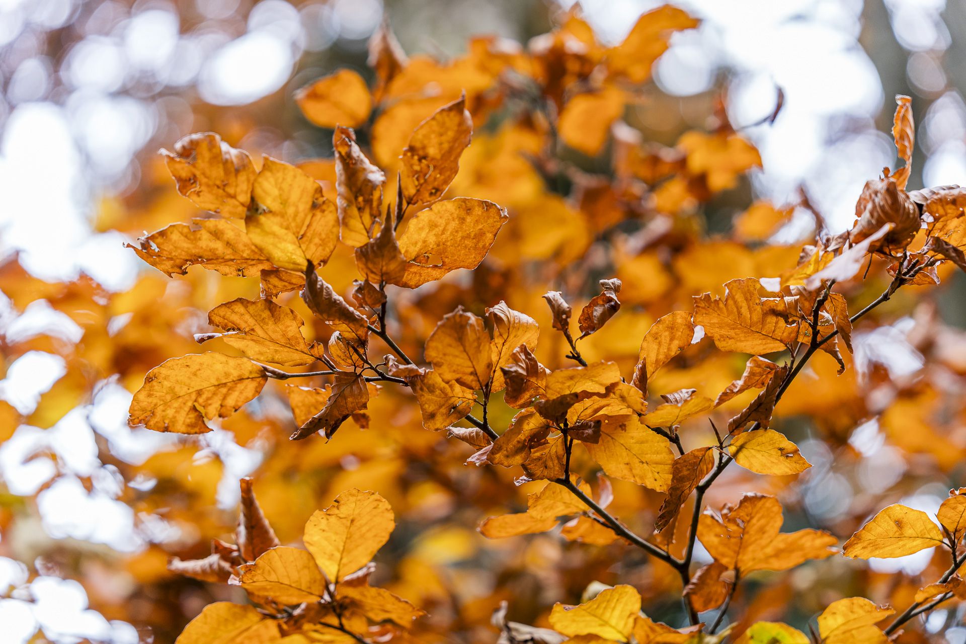
After a first short stretch through the forest, the view over the Rothenthurm moorland opens up again from a slightly higher position. From here you can particularly well take in the extent of the raised bog and the village of Rothenthurm. We then plunge into the Sulzeggwald, which shows itself in its most colorful guise. Rust-brown ferns cover the forest floor while the deciduous trees above blaze in competing shades of yellow and orange.
The trail continues uphill to the small St. Jost chapel with the eponymous mountain inn. However, on this morning we are still too early for a stop. The “St. Jost Mountain Inn is regularly open on Fridays from 3:00 PM and on Saturdays and Sundays from 10:00 AM. It would definitely be an inviting spot for a rest.
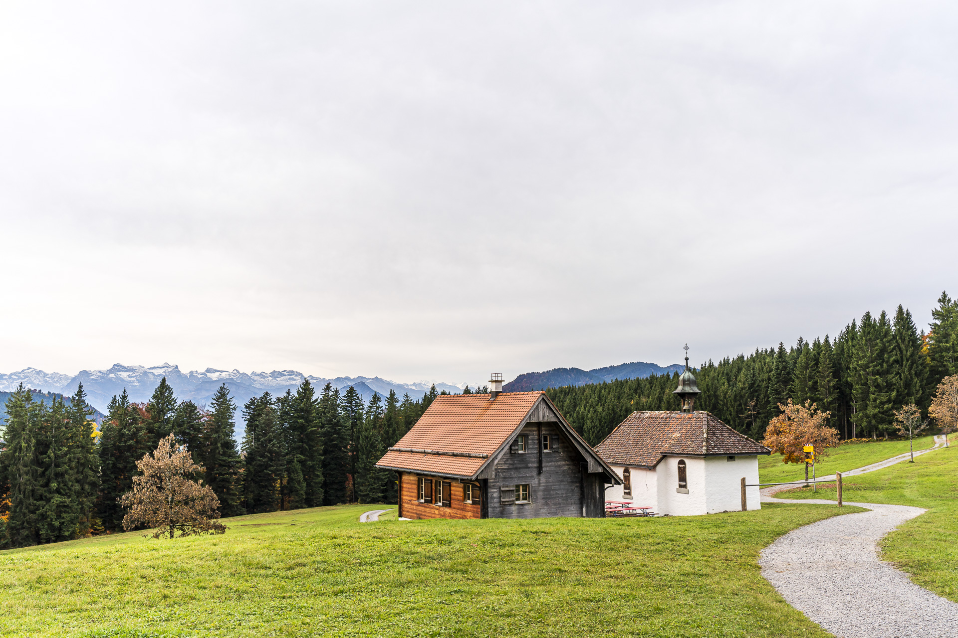
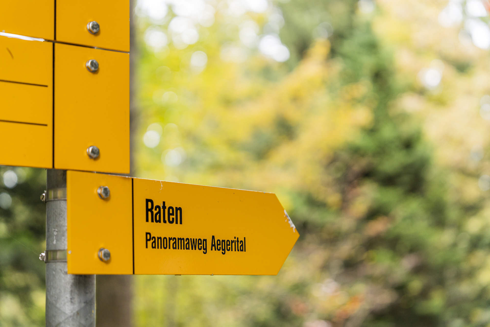
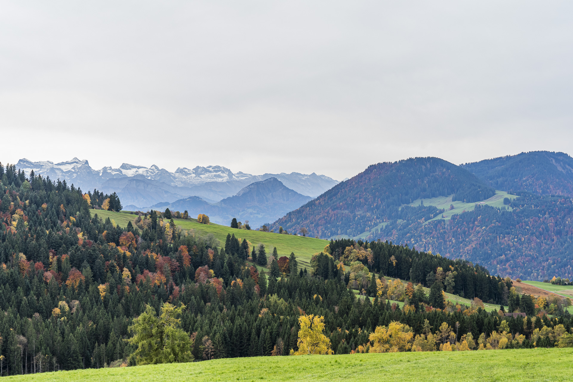
We follow the signpost further toward Raten, where the hiking route passes directly by the excursion restaurant at the pass summit. Unfortunately this section runs along a longer paved stretch. The view of the Central Swiss mountain peaks, which are already lightly dusted with snow on this October morning, makes up for it.
On beautiful forest paths over the Mangelhöhe
The paved stretch continues up to Abschwändli after crossing the Raten pass road. There the trail turns into the forest and first takes us another short steep climb. Afterwards it continues with gentle ups and downs over the Muetegg toward the Mangelhöhe.
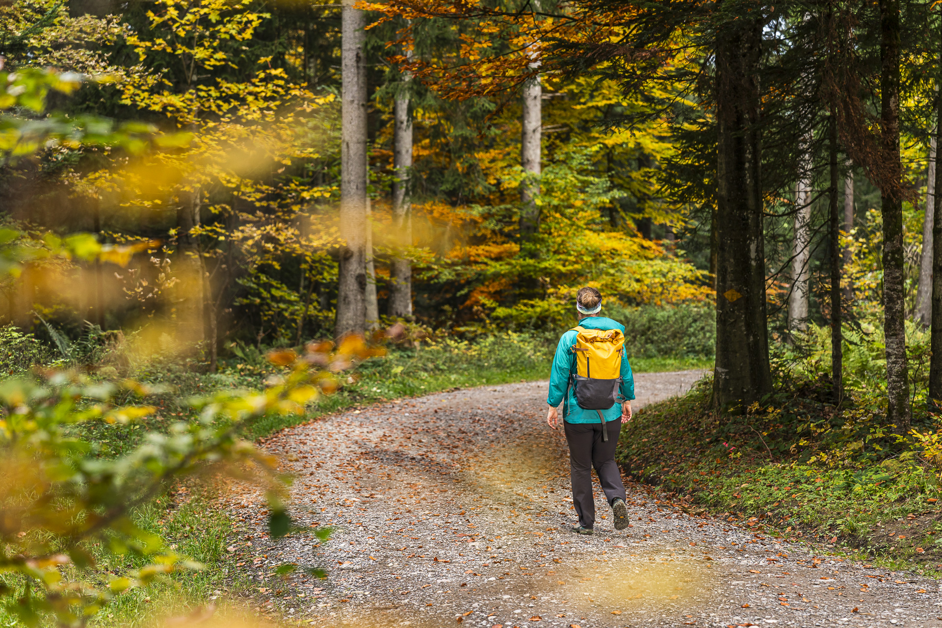
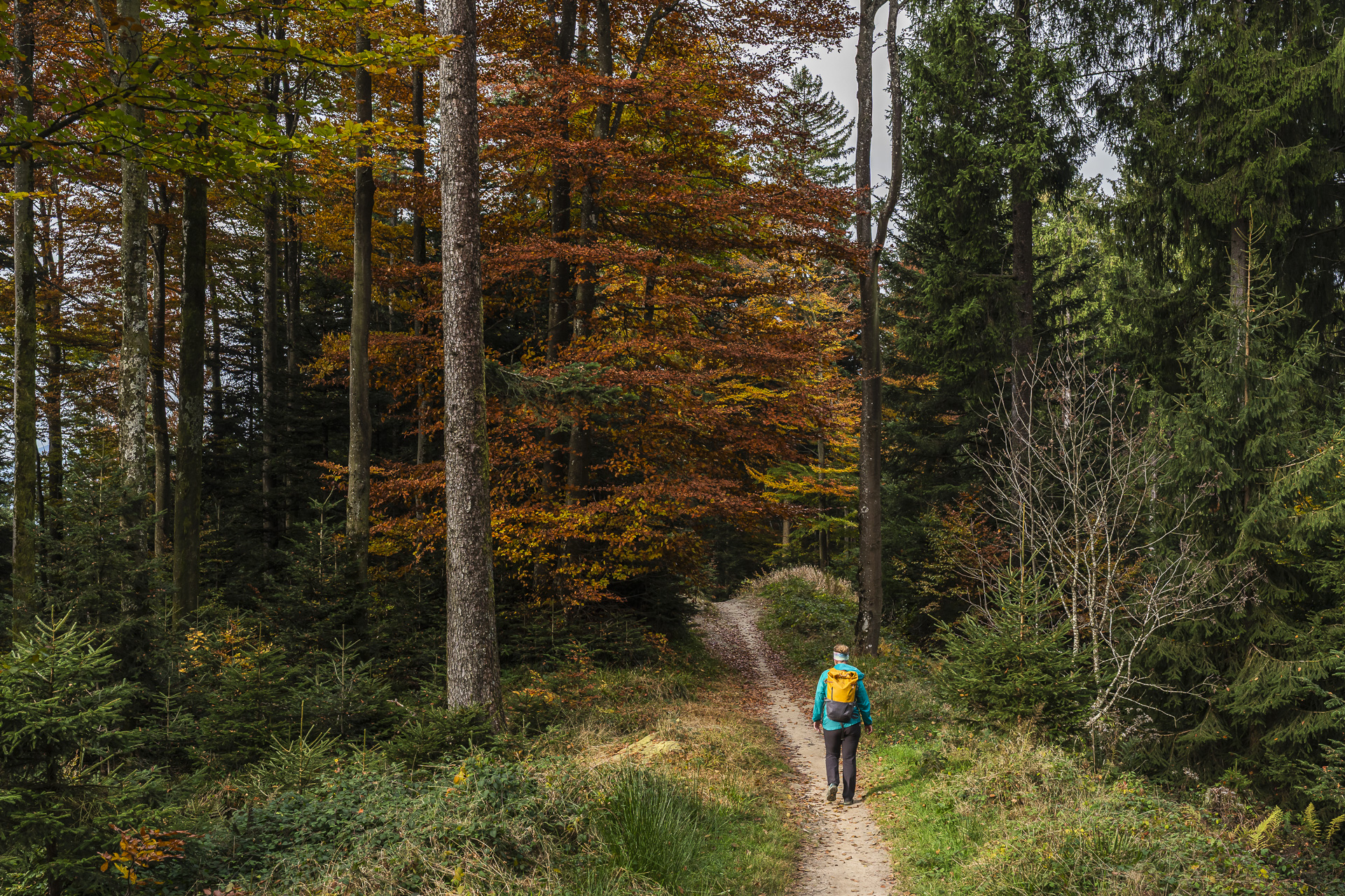
For me this section is one of the most beautiful of the hike. Sometimes narrow, sometimes a bit wider, sometimes crisscrossed by roots and then again covered with colorful autumn leaves, the varied forest path winds along the wooded ridge. Between the trees, views into the Ägerital open up again and again.
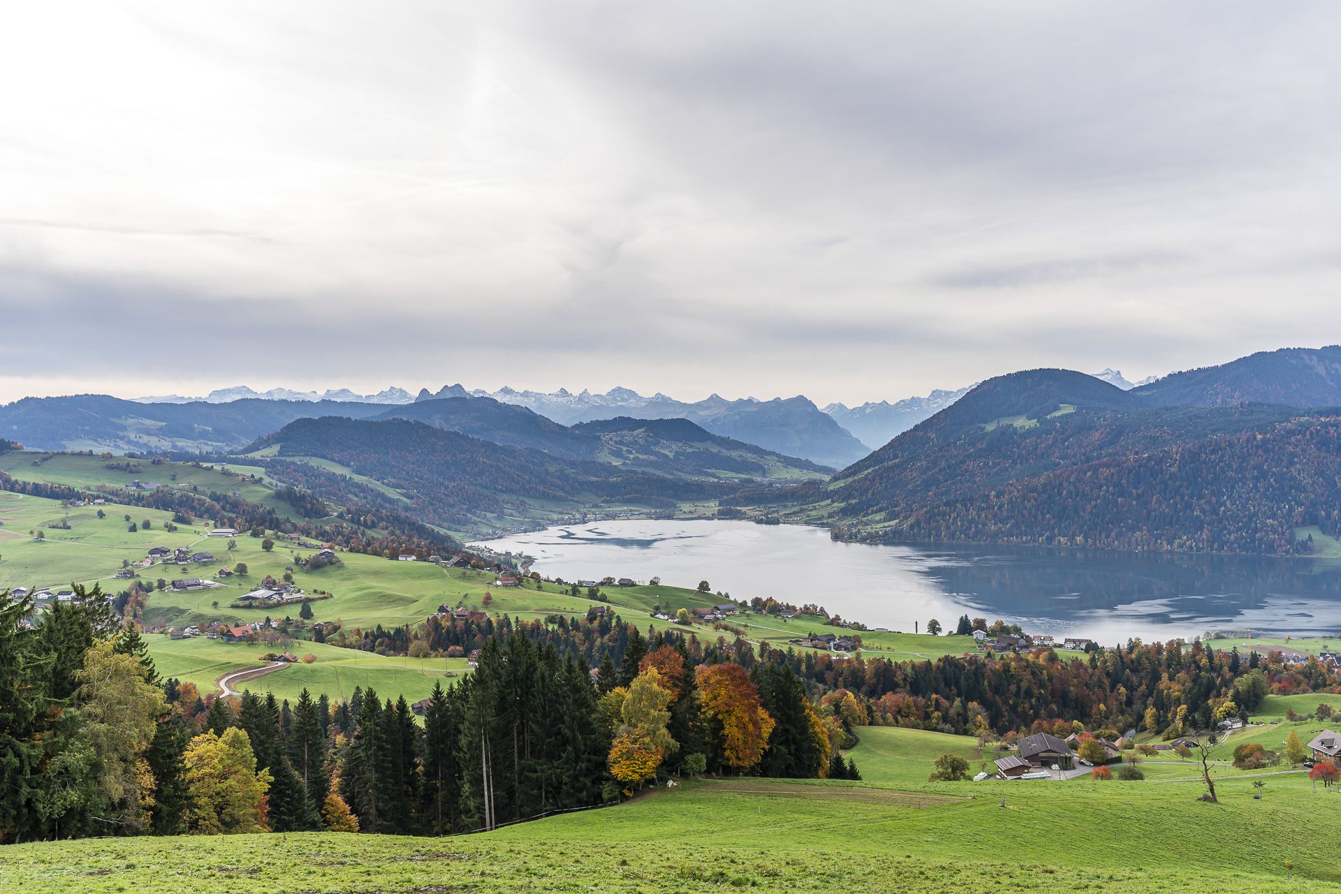
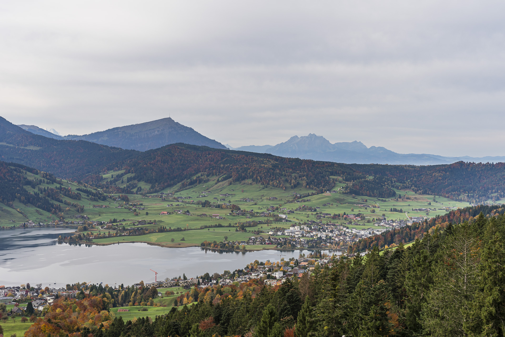
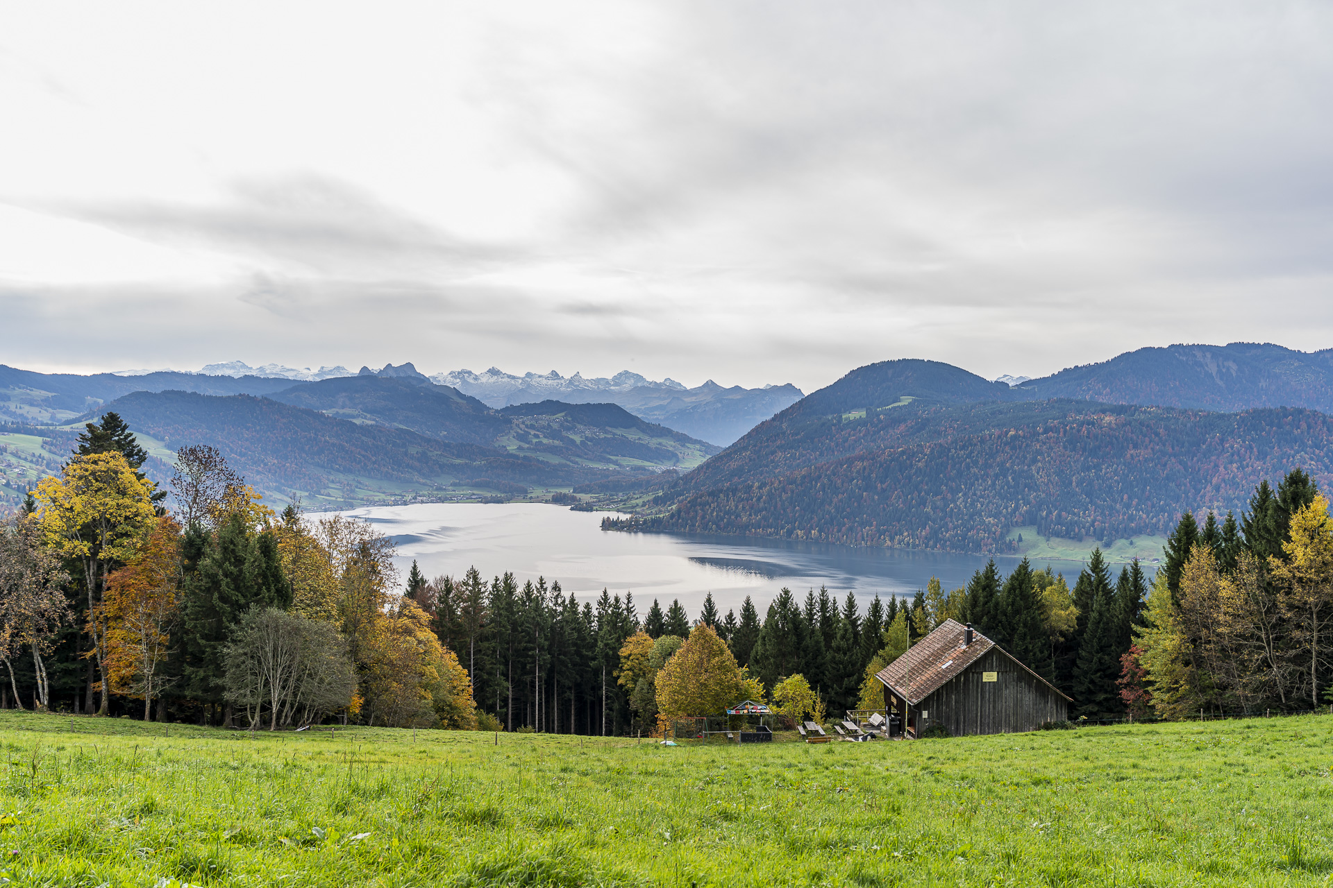
After the Mangelhöhe we leave the dense forest and are rewarded with an unobstructed view of the Ägerital and the Central Swiss Alps. The Rigi and Pilatus are particularly distinctive, rising behind the hilly landscape. The Ägerisee now lies before us as well. A scenic spot for a rest is the Grümel Hiking Hut, which is operated from the end of April until the end of October on weekends and public holidays in dry weather.
Descent to Unterägeri
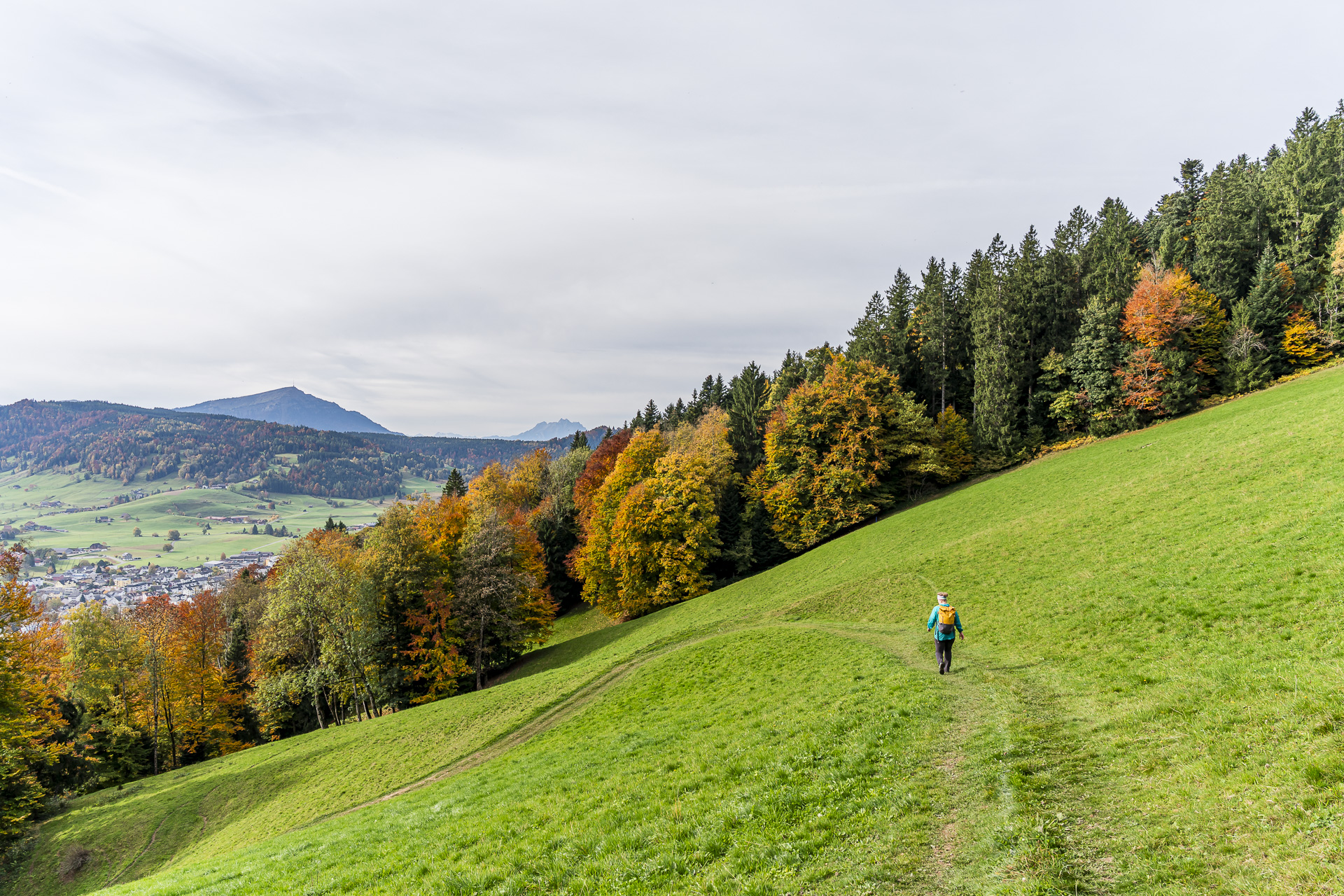
From the Grümel hiking hut the trail continues downhill, past the Hintertann farm to Hinter Schneit. Here we have to tackle one short uphill section again before the path via Hinterwinden finally descends toward Unterägeri. The last kilometers are covered mostly on hard-surfaced paths. Eventually we reach the village center of Unterägeri, where our hike ends at the Unterägeri, Zentrum bus stop. Behind us are four enjoyable hours of hiking with many colorful woodland sections.
Key details of the hike Altmatt – Raten – Unterägeri
The following hiking map shows the route from Altmatt train station through the Rothenthurm moorland via St. Jost, the Raten and the Mangelhöhe to Unterägeri. The route runs continuously on yellow-marked hiking trails (T1). Around the Raten and on the descent to Unterägeri there are longer sections on hard surface. Otherwise gravel and forest paths predominate.
Technically the hike is easy and presents no particular difficulties.
| Starting point | Altmatt train station (920 m a.s.l.) – stop on request! |
| Accessibility | accessible by public transport |
| Length | 14.5 kilometers |
| Elevation | ↗ 515 m ↘ 708 m |
| Duration | 4:00 h |
| Destination | Bus stop Unterägeri, Zentrum (725 m a.s.l.) |
| Places to eat | Mountain inn St. Jost and hiking hut Grümel |
Practical tips for your hike from Altmatt to the Ägerital
- Getting there and back:The point-to-point hike can be easily done using public transportation. Altmatt station is served by the S31 between Biberbrugg and Arth-Goldau. Important: trains stop here only on request. For the return journey, there are regular bus connections toward Zug from the Unterägeri, Zentrum bus stop.
- Best time of year:The hike is especially suitable for spring and autumn. In October and November, the autumn-colored moorland areas and deciduous forests provide a particularly beautiful backdrop. However, exercise caution in frost, snow, or on icy forest paths.
- Refreshments:Located directly on the route are theBergbeiz St. Jost (Friday 3:00 PM to 10:00 PM, Saturday and Sunday 10:00 AM to 5:00 PM) and theWanderhütte Grümel (open late April through late October on weekends and public holidays in dry weather). Since both places are not open daily, it is advisable to bring sufficient drinks and some provisions. St. Jost accepts cash only.
- Rothenthurm moorland: The protected moorland can be explored on the marked hiking trails. Please stay on the paths and do not enter the sensitive moor areas.
- More hiking tips in the region: If you’d like to explore the Rothenthurm moorland on a shorter route, you’ll find on the blog a nice alternative with the Moorweg Rothenthurm a nice alternative. Also recommended is the Wanderung durchs Lorzentobel über den Zugerberg nach Zug, which follows another section of the Alpenpanorama-Weg.

Leave a Reply