

Randen: Hiking in the Schaffhausen Regional Nature Park
Spontaneity has its pitfalls. A last-minute cancellation of a long-planned excursion due to weather conditions confronted us with a “weekend without plans” and accordingly with far too many options for what we could do. And so, on Friday evening, we discussed umpteen hiking variants: Bisse hike in Valais? Or to a summit? Hmmm, actually I had planned the Schrattenfluh for this year – but will the weather hold? The weather is best reported for Eastern Switzerland… Yes, but there is no mountain panorama there! After all, Valais…? You’ll drive there for three hours and then you’re guaranteed to get rained on.
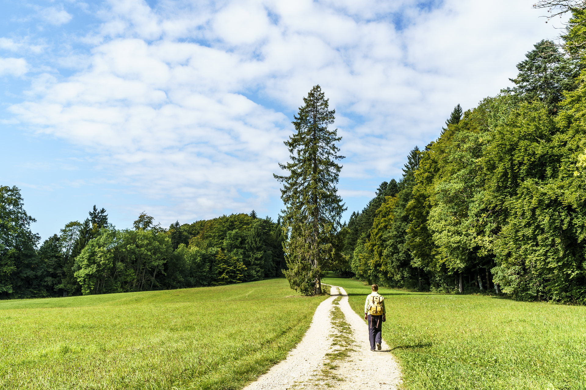
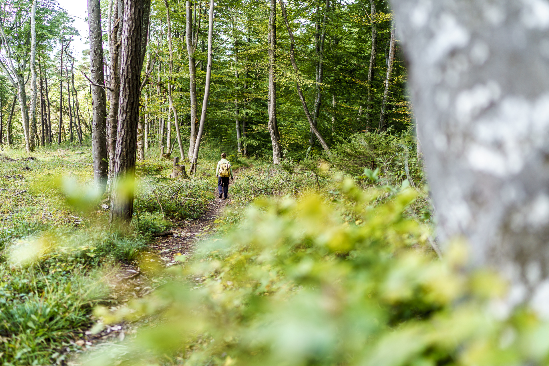
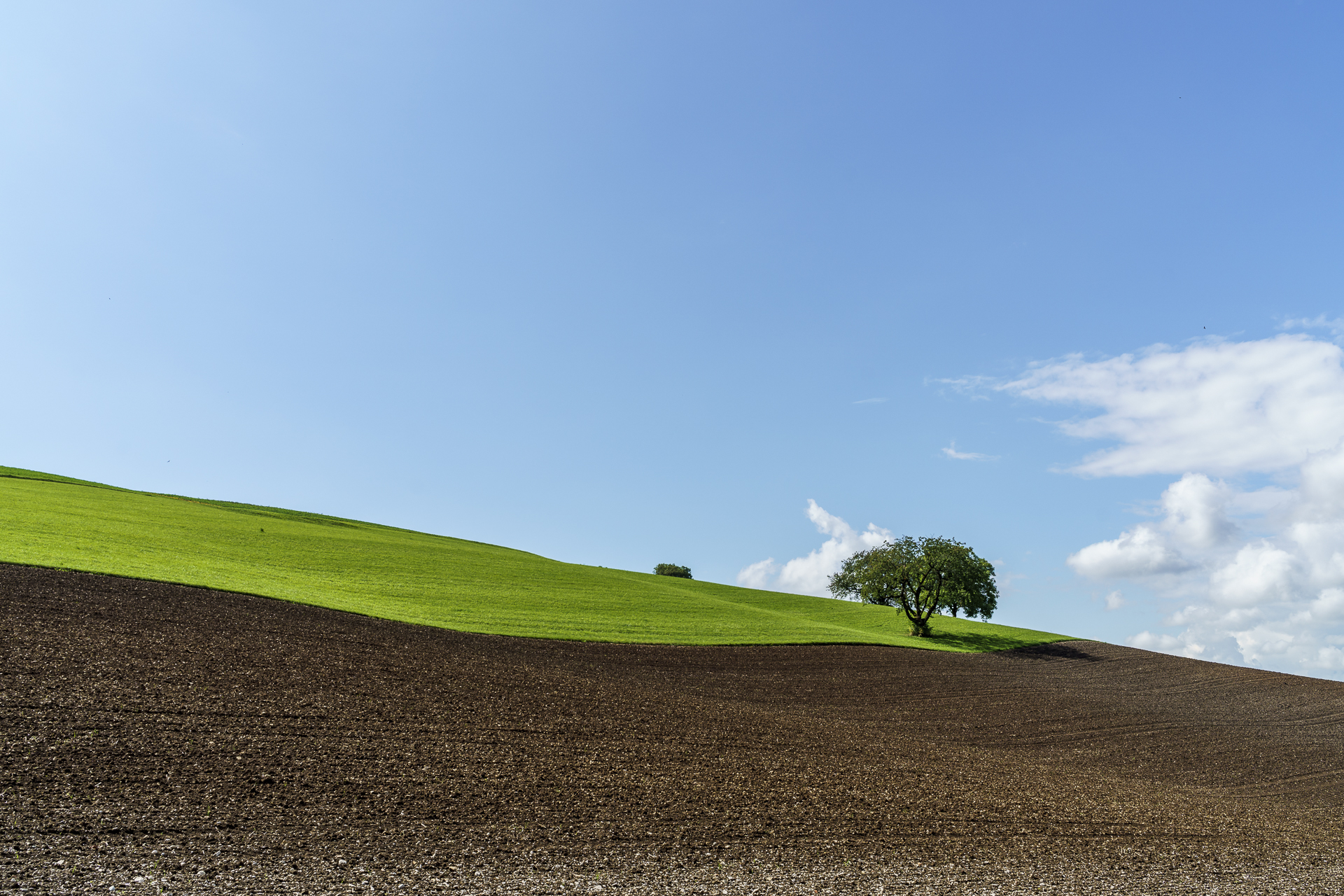
It was a never-ending back and forth. I would have really liked to do a high alpine tour in Valais, but in the end reason prevailed. And instead of dramatically rugged peaks, we were greeted on Saturday morning in the northeasternmost tip of Switzerland by lovely hill ranges. The Randen stretches from the canton of Schaffhausen to Baden-Württemberg and is part of the Table Jura landscape, which stretches from Basel to Coburg. It is located within the Schaffhausen Regional Nature Park, which has been in the establishment phase since 2014. I don’t know about you: I know Schaffhausen, the Rhine Falls and Stein am Rhein – but the idyllic and above all diverse valley landscape behind Schaffhausen was completely unknown to me until now. But at first I’m not sure if we have gambled away the weather poker with this trip. On the first kilometers through the Doschdetaal we march straight ahead towards dark clouds. “Great!” I think to myself as I feel the first tentative damp drop.

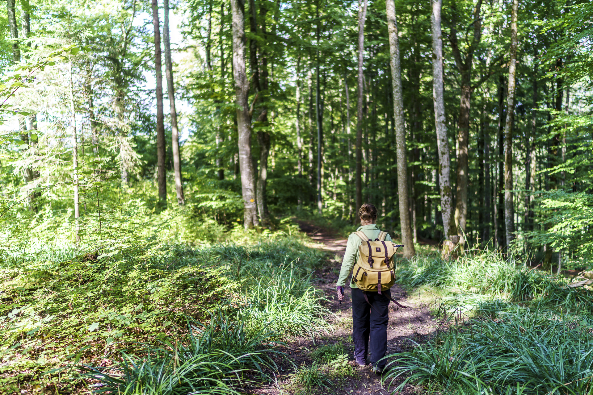
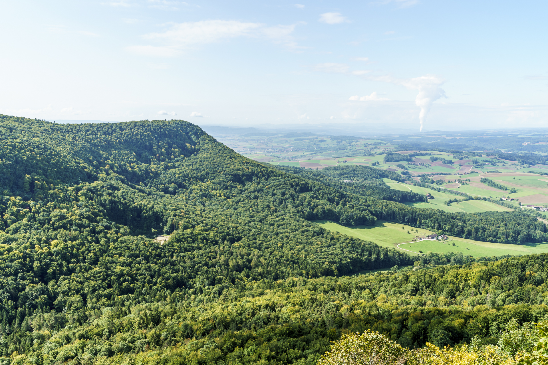
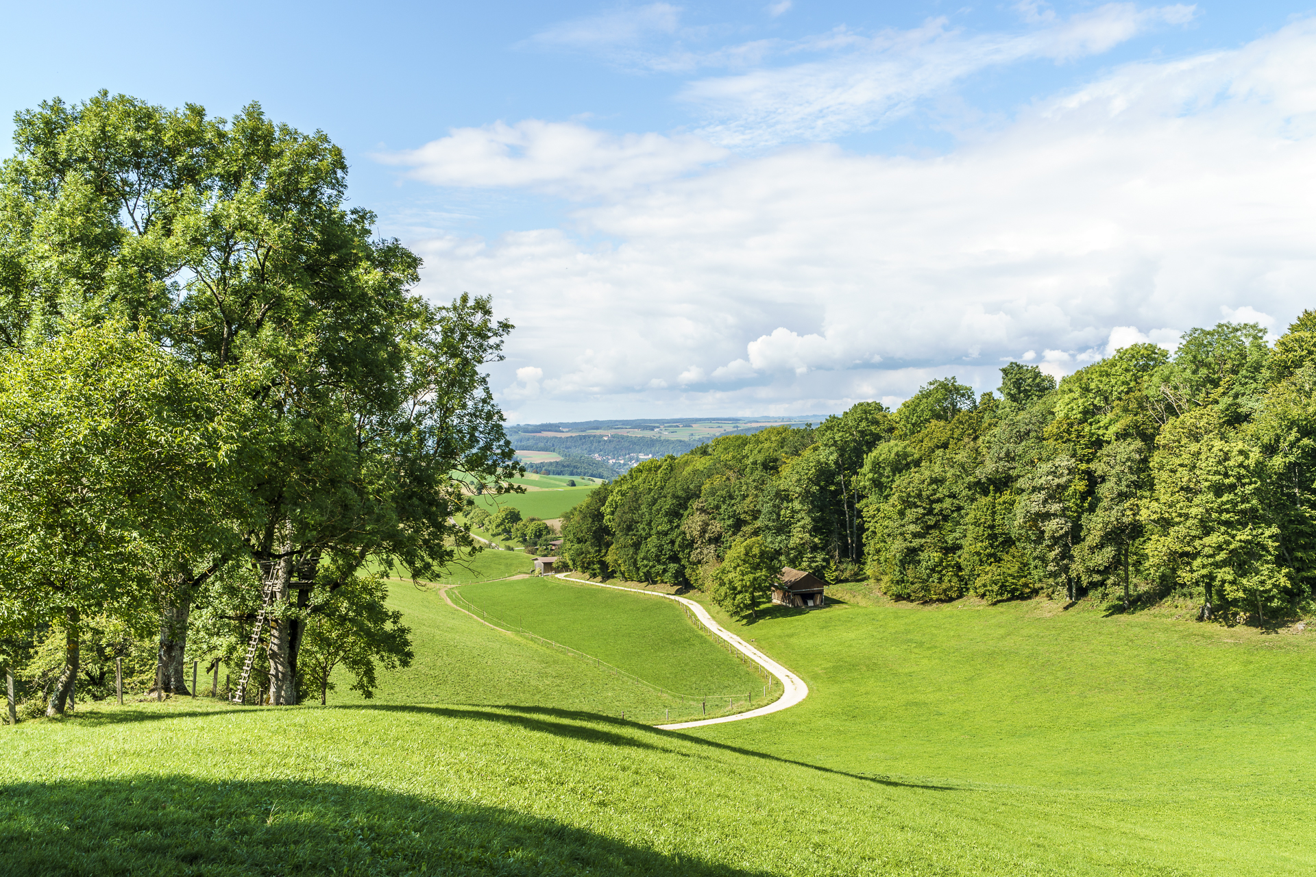
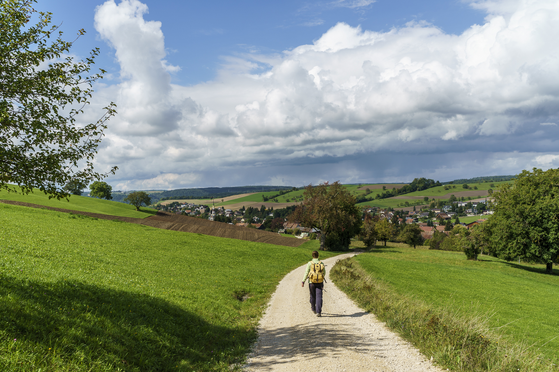
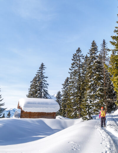
The further we work our way up the edge flanks, the more bruises we can see through the canopy. And at the first large clearing – the Langackerhaalde – the sun’s rays actually dazzle us. Splendid!
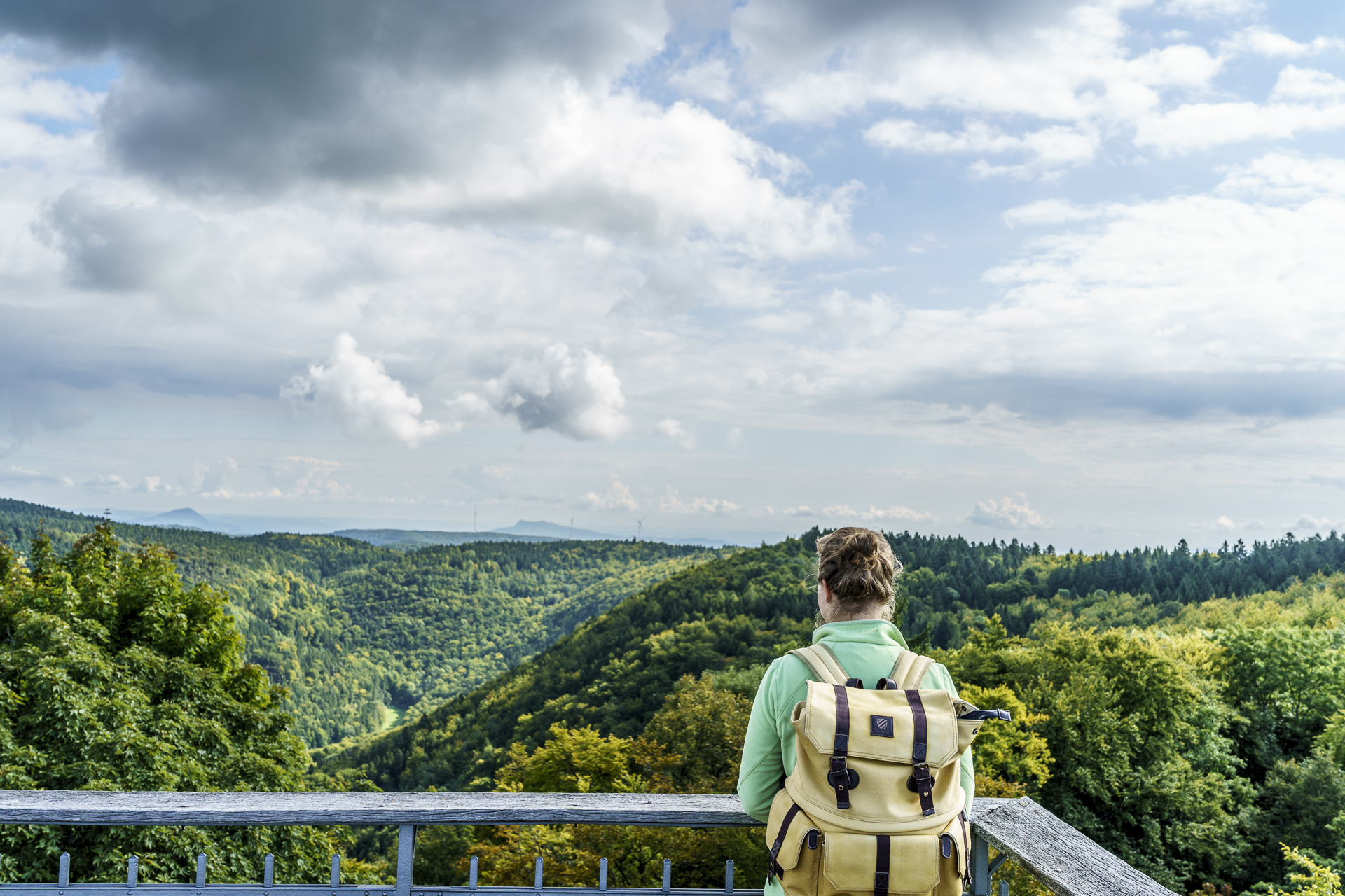
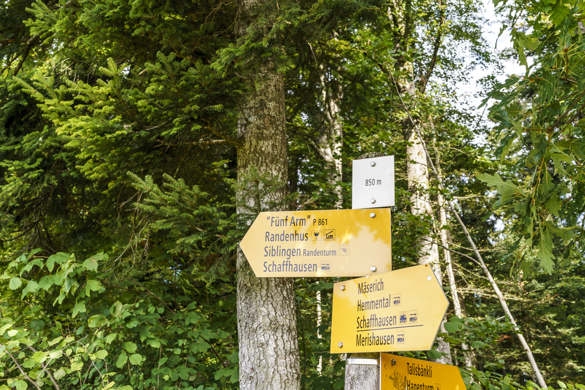
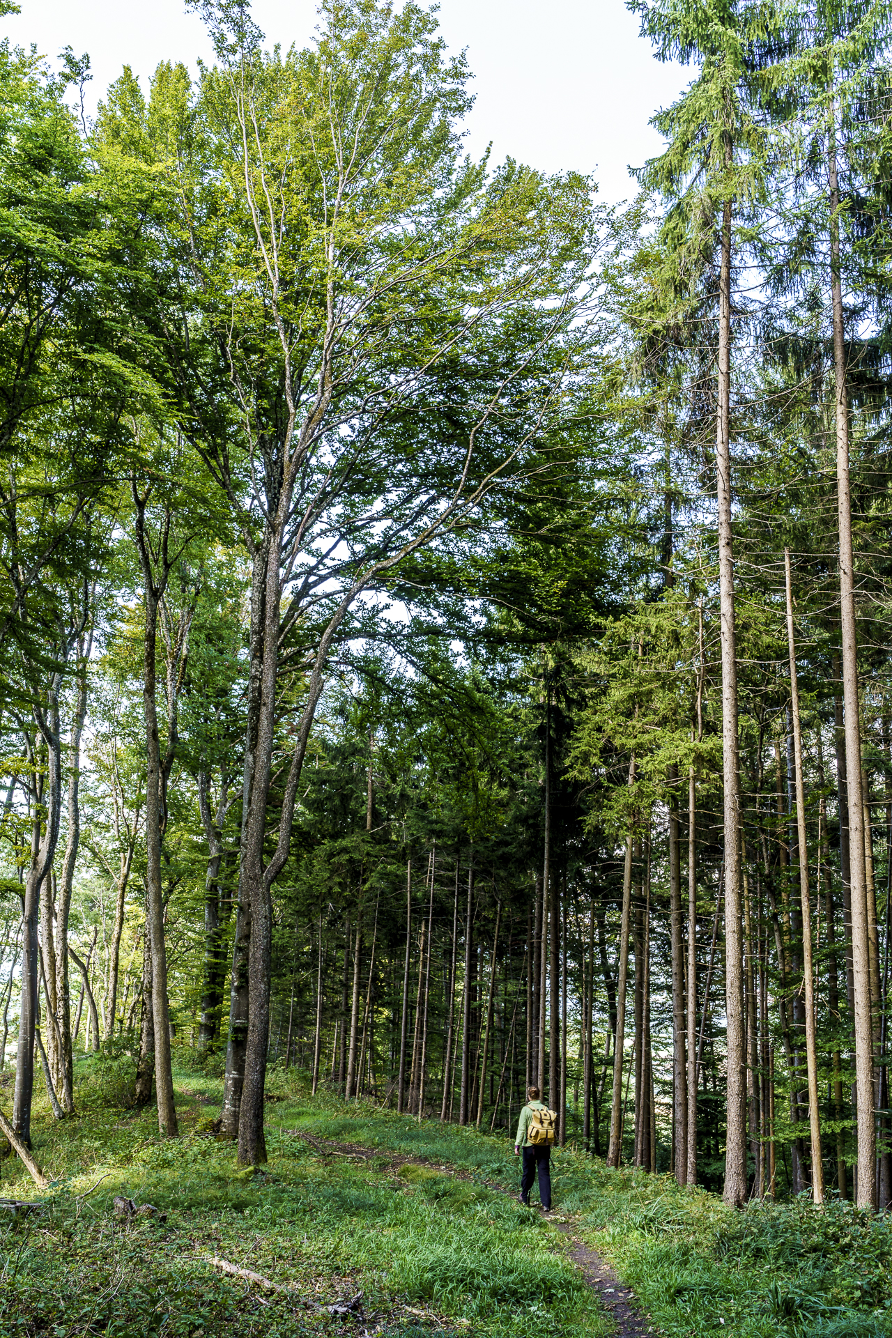
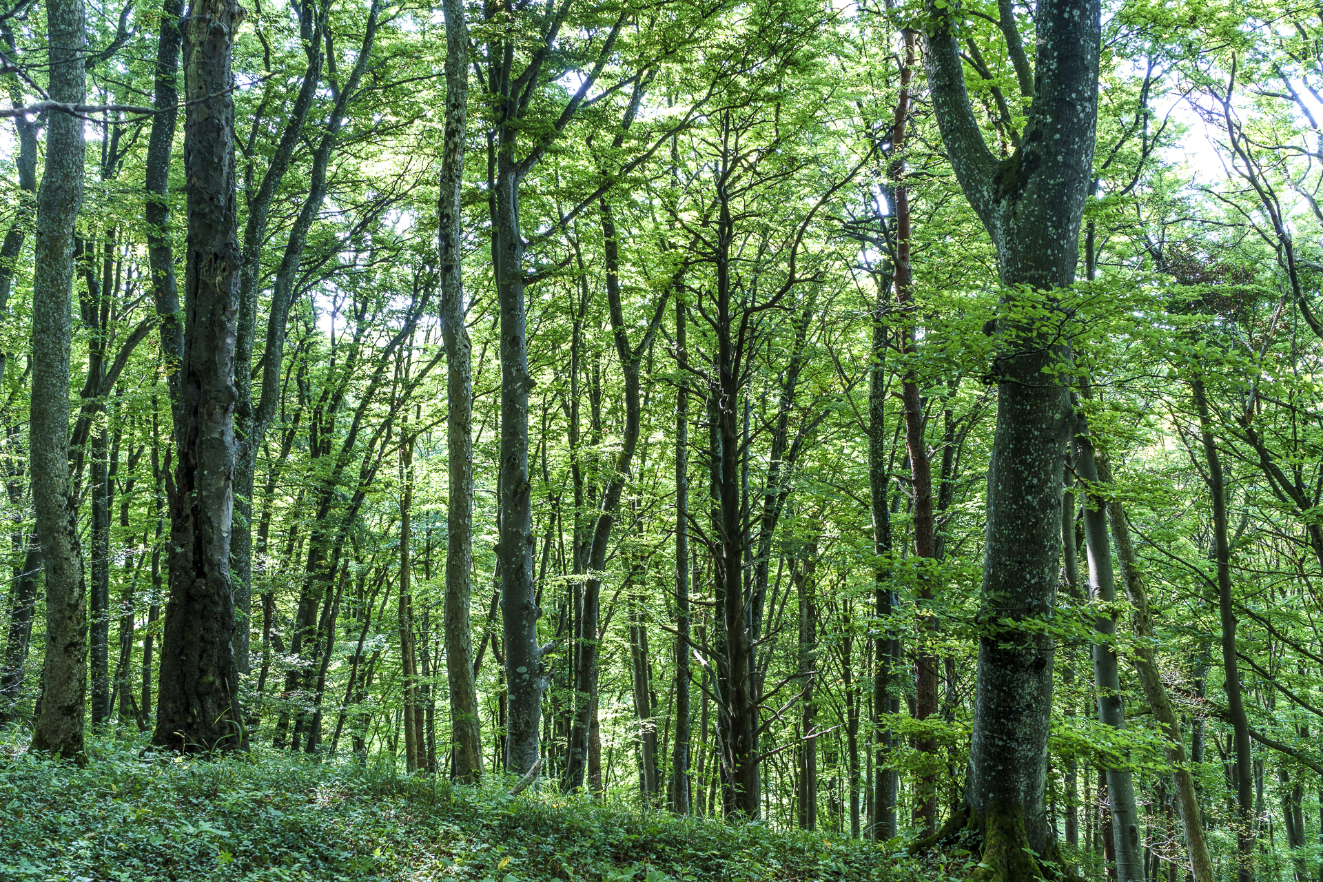
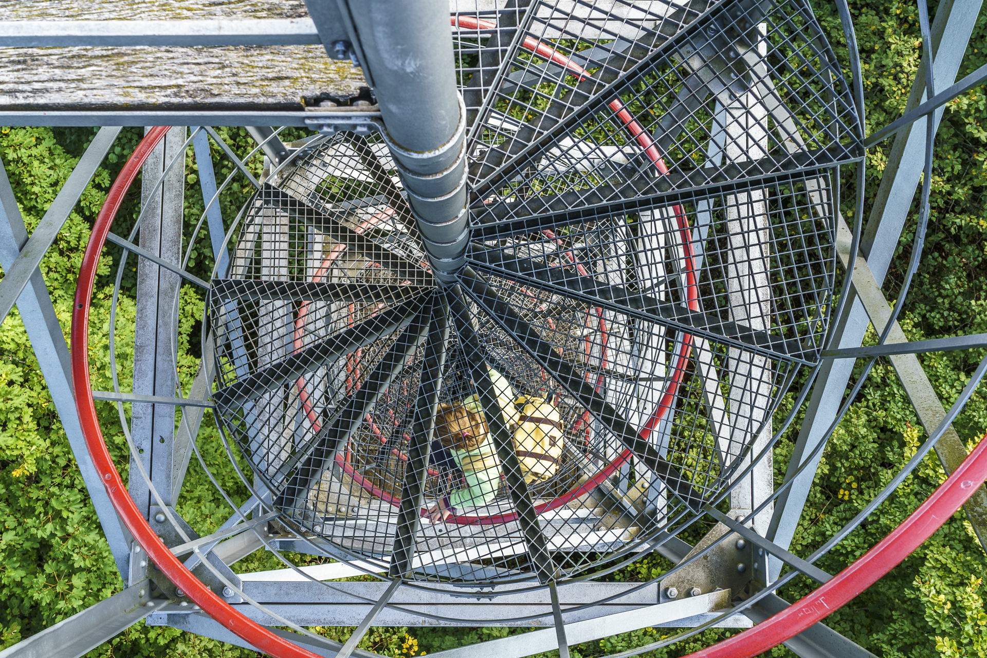
We make rapid progress on the wide gravel paths, pass a picnic area and shortly afterwards the Schlossranden inn (in principle, the simple forest restaurant would have been open on the weekend days – but we didn’t see anyone at 11:00 in the morning…) and then follow the narrow path up to the Schleitheimer Randenturm. While we admire many different shades of green on the way, the observation tower offers the hoped-for view over the canopy to the Swiss Plateau. From up here, you can also guess how great the sight of the mixed deciduous forest in its colourful autumn garb will be. Definitely has “Indian Summer Feeling” potential.

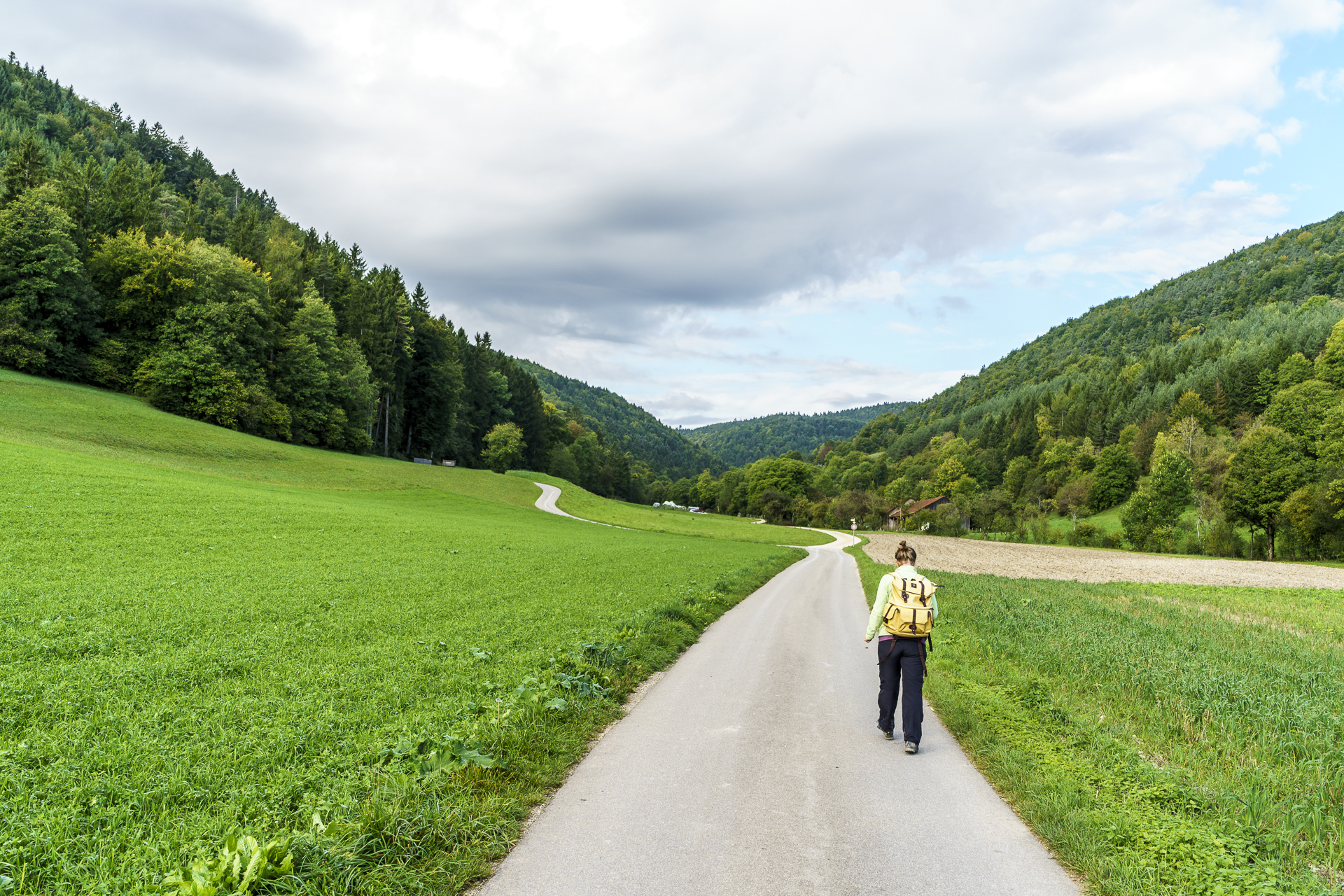
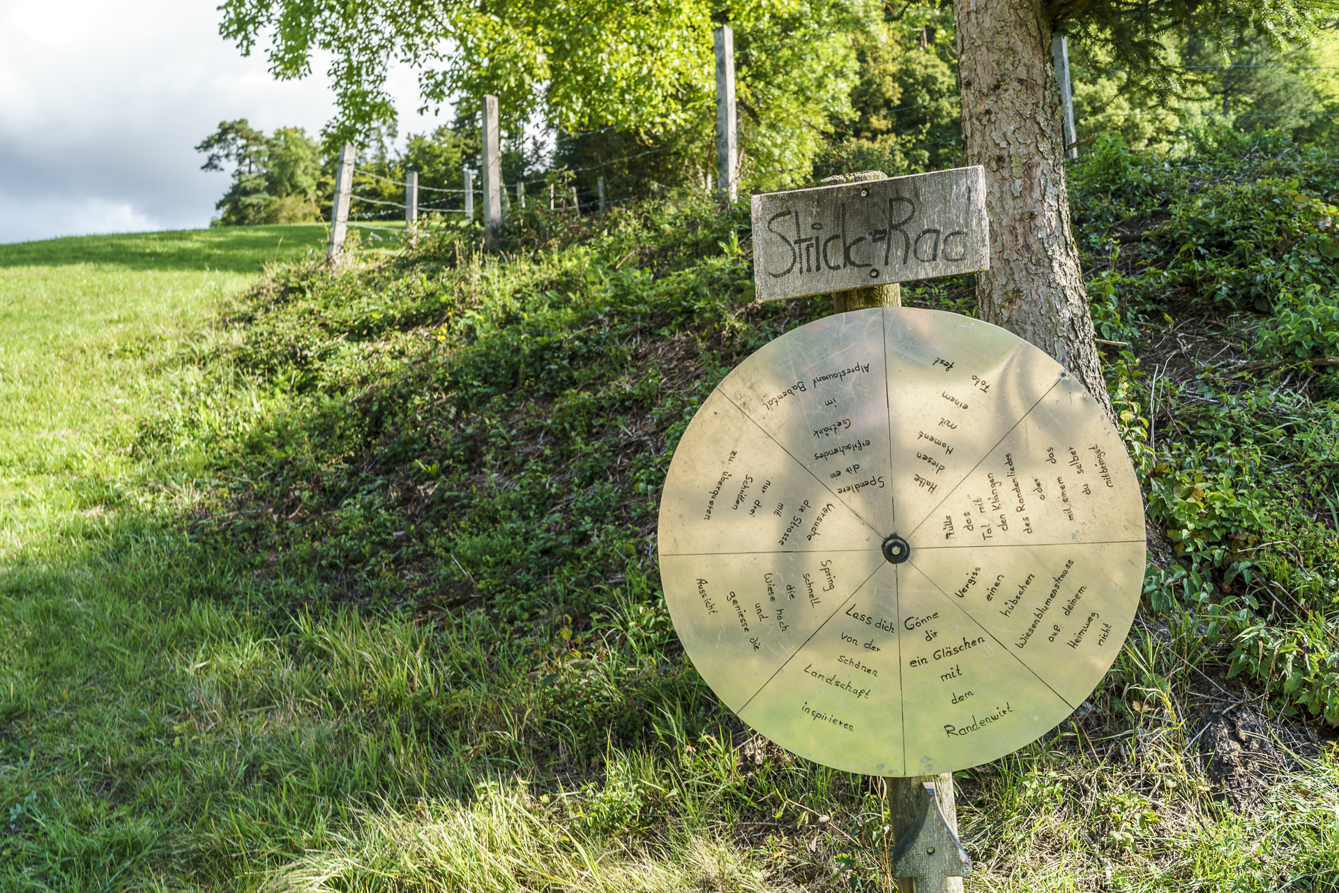
From here the descent follows over soft forest floor to the Strickhof and from there along the cultivated fields down to Schleitheim. I find the “knitting wheel” on the side of the road funny. My hit was “Treat yourself to a drink with the Randenwirt” – well, it’s a pity we didn’t meet the one above. He probably assumed a different weather forecast and allowed himself a free Saturday.
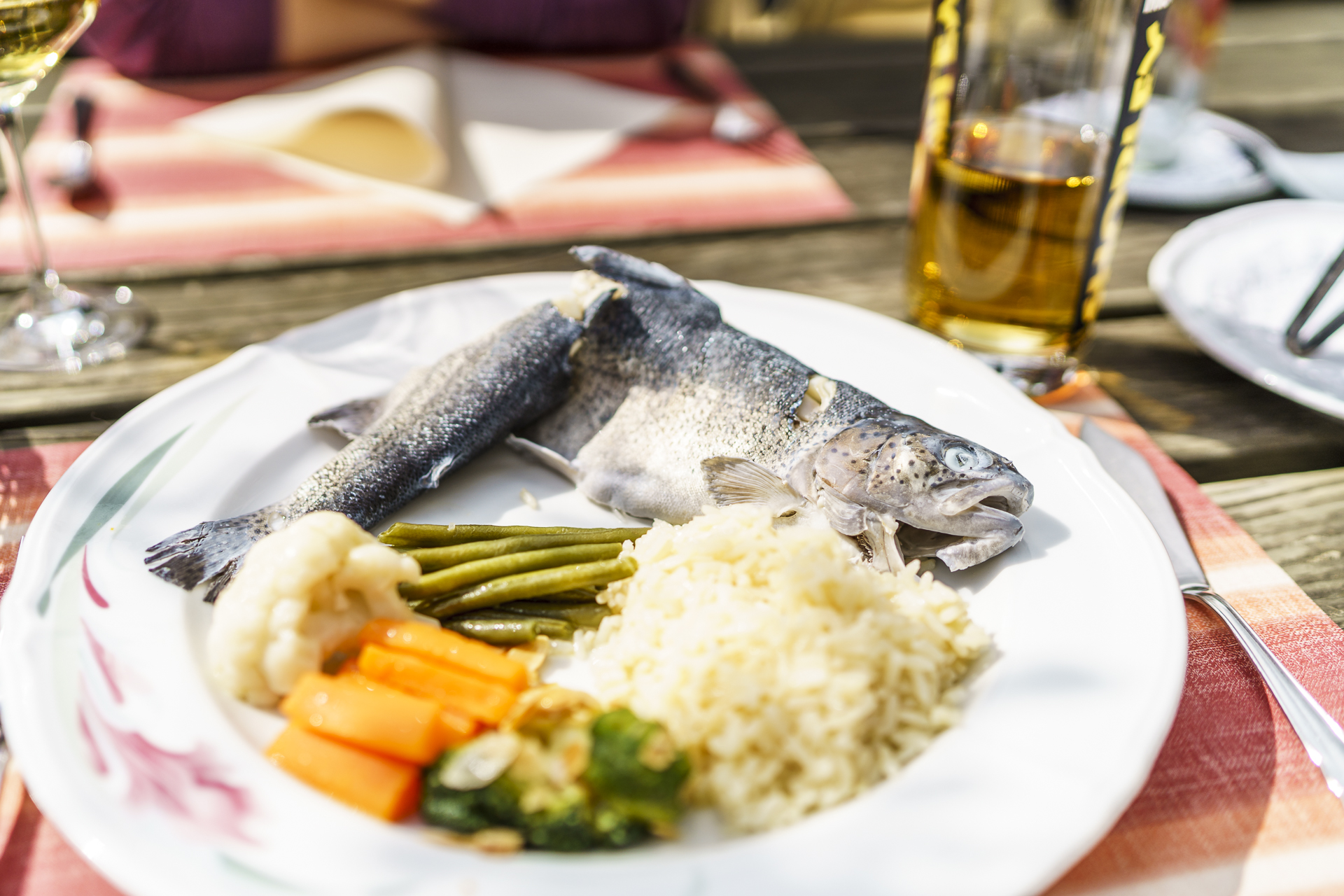
As a tip for all those who, like me, arrive in Schleitheim with a growling stomach (we usually don’t take provisions with us for such short hikes): Either there is a bus back to Schaffhausen and you put your stomach off for half an hour or you stop at the sympathetic Gasthof Post at Schwarzwaldstrasse 4 in Schleitheim. You simply have to navigate in a westerly direction through the long village until you reach the main road. The speciality of the house are trout – and they are really good. The small menu is supplemented by seasonal dishes (currently it has game on offer). What speaks for the Gasthof Post are the good price-performance ratio and the nice service.
Practical information about the hike over the Randen
The route of our hike from Merishausen over the Randen to Schleitheim can be found on the following map. The distance is about 10.5 kilometers. There is an ascent of 450 meters to overcome to the Randenturm. The descent to Schleitheim is 400 meters in altitude. If you calculate three hours for the hike, you have enough “schpazig” to enjoy the view from the Schleitheimer Randenturm to the fullest – we were on the road for a good 2.5 hours at a brisk marching pace, including the tower ascent. The starting point of the hike in Merishausen can be reached from Zurich with a change in Schaffhausen in one hour and 15 minutes (take bus line no. 23 and get off at the Merishausen im Kerr stop). From Schleitheim there is an hourly bus connection back to Schaffhausen.
Hike Merishausen – Randenturm – Schleitheim: Key data of our tour
| Starting point | Bus stop Merishausen, Im Kerr |
| Length | 10.4 kilometres |
| Elevation gain | ↗ 441 m 391 m ↘ |
| Duration | 3:00 p.m. |
| Destination | Bus stop Schleitheim, Poststrasse |

Leave a Reply