

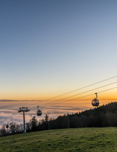
On the Romoos Köhlerweg through the Napf area
Starting point Romoos
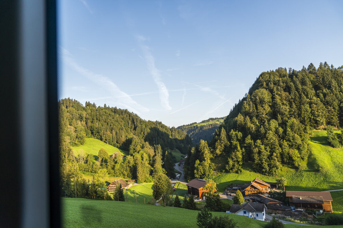
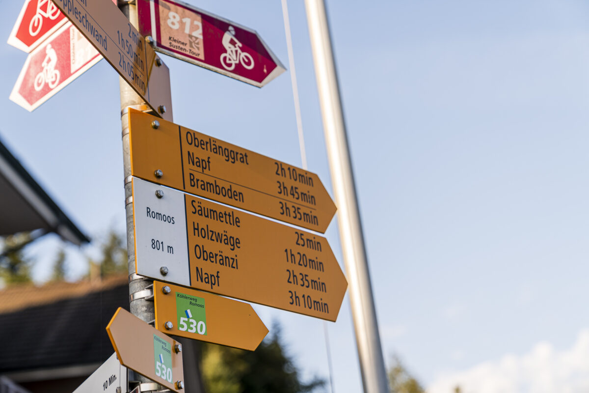
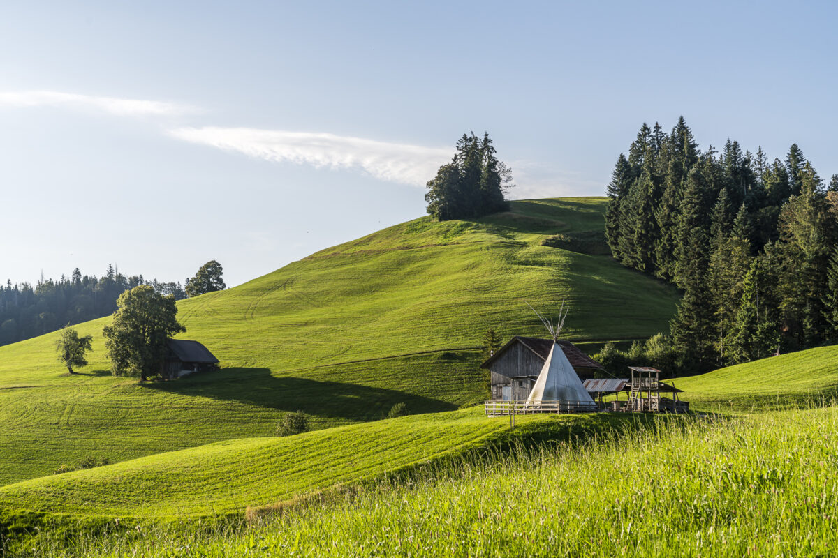
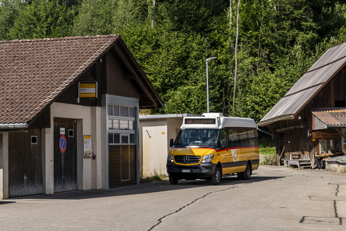
The Köhlerweg starts in the middle of the idyllic center of the village of Romoos. The post bus ride from Wolhusen train station takes just under 15 minutes over a winding route. Two years ago we pedaled up here on our bikes – now we can relax and marvel at the scattered farms, the wooded steep slopes and the deep ditches during the post bus ride. We get off at the Romoos, Post stop, where we take the route shown by the signpost. But don’t let the time on the sign fool you. The signposted 3 hours 35 minutes to Bramboden refers to the most direct route. For the Köhlerweg you should plan approximately four hours of walking time.
Die erste Stunde verläuft der Köhlerweg grossmehrheitlich über dieselben Wege, wie der Zyberliland-Themenwanderweg «Bärgmandli-Tritt», der zu den hiesigen Naturspielplätzen führt. Klein und Gross werden auf diesem Abschnitt somit gleichermassen angesprochen.
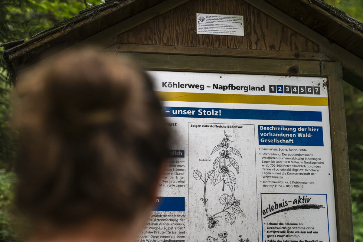
Find out more about the local flora, fauna and traditions on the Köhlerweg
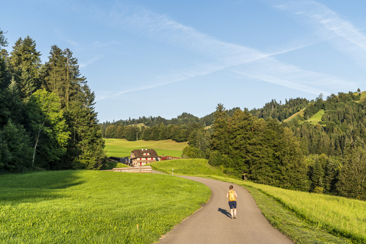
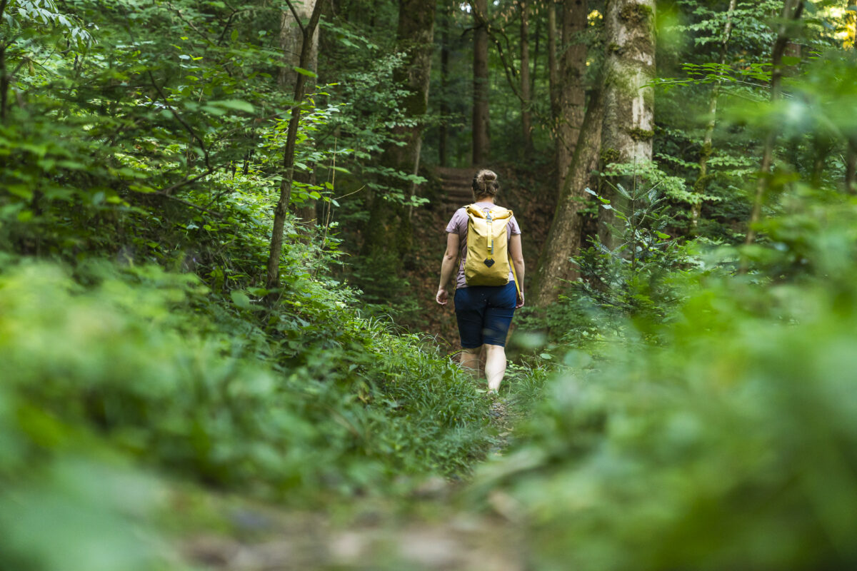
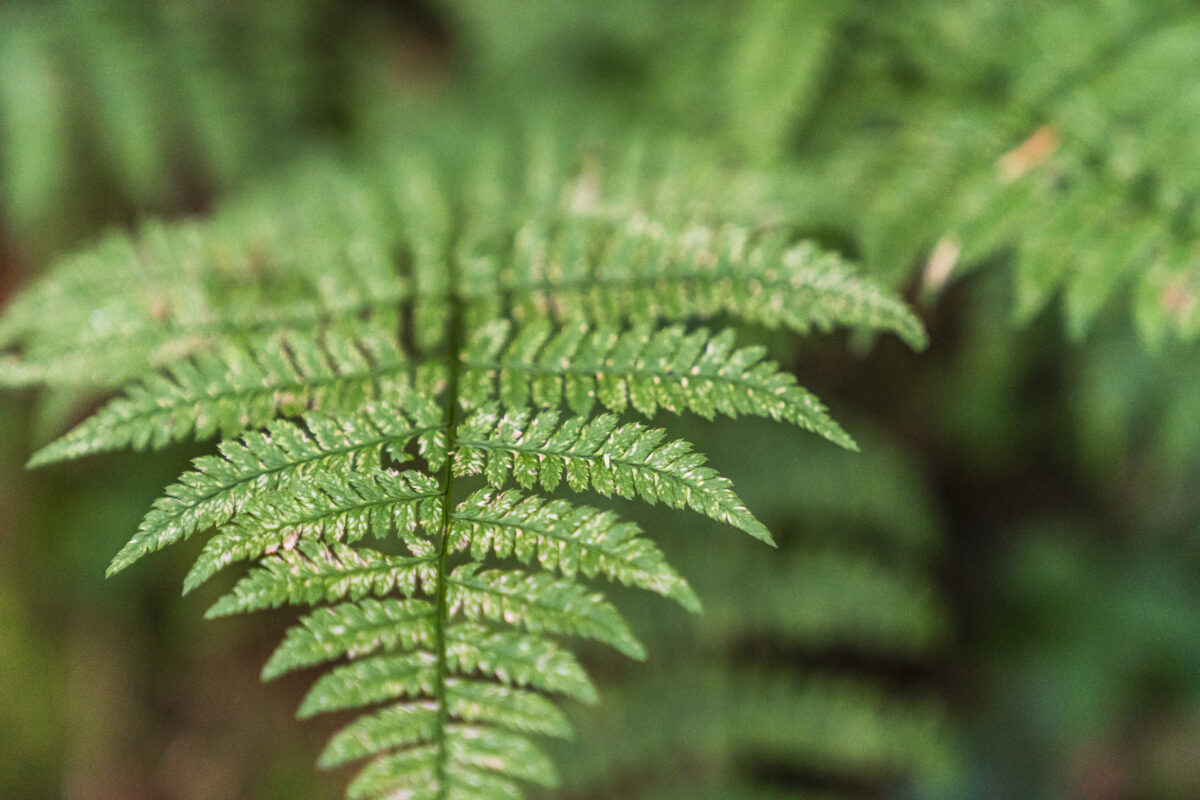
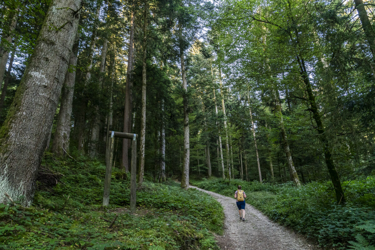
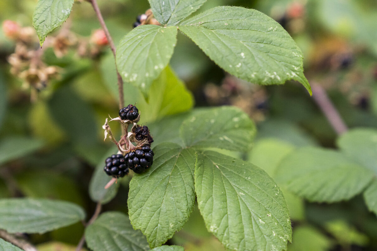
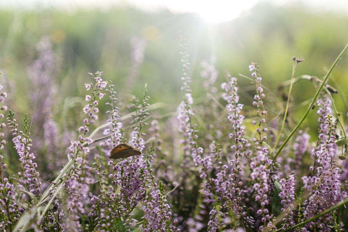
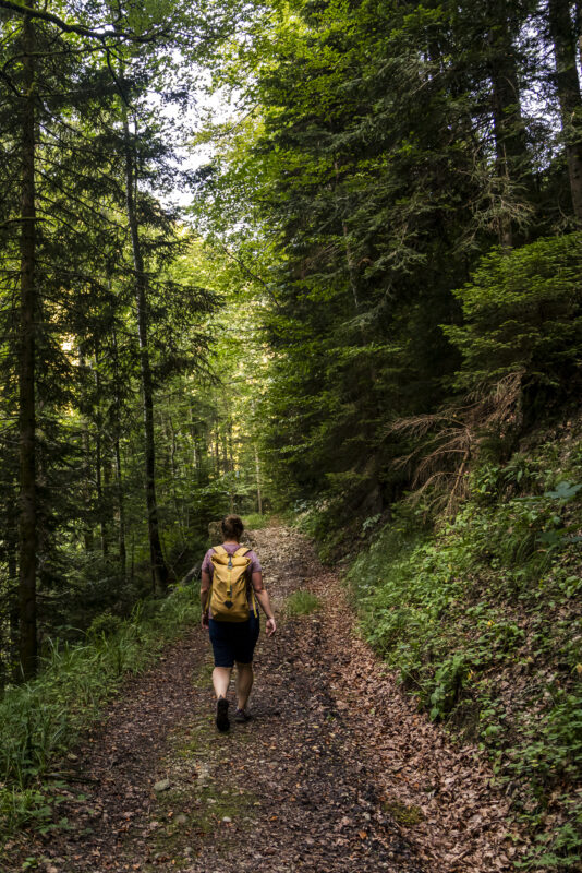
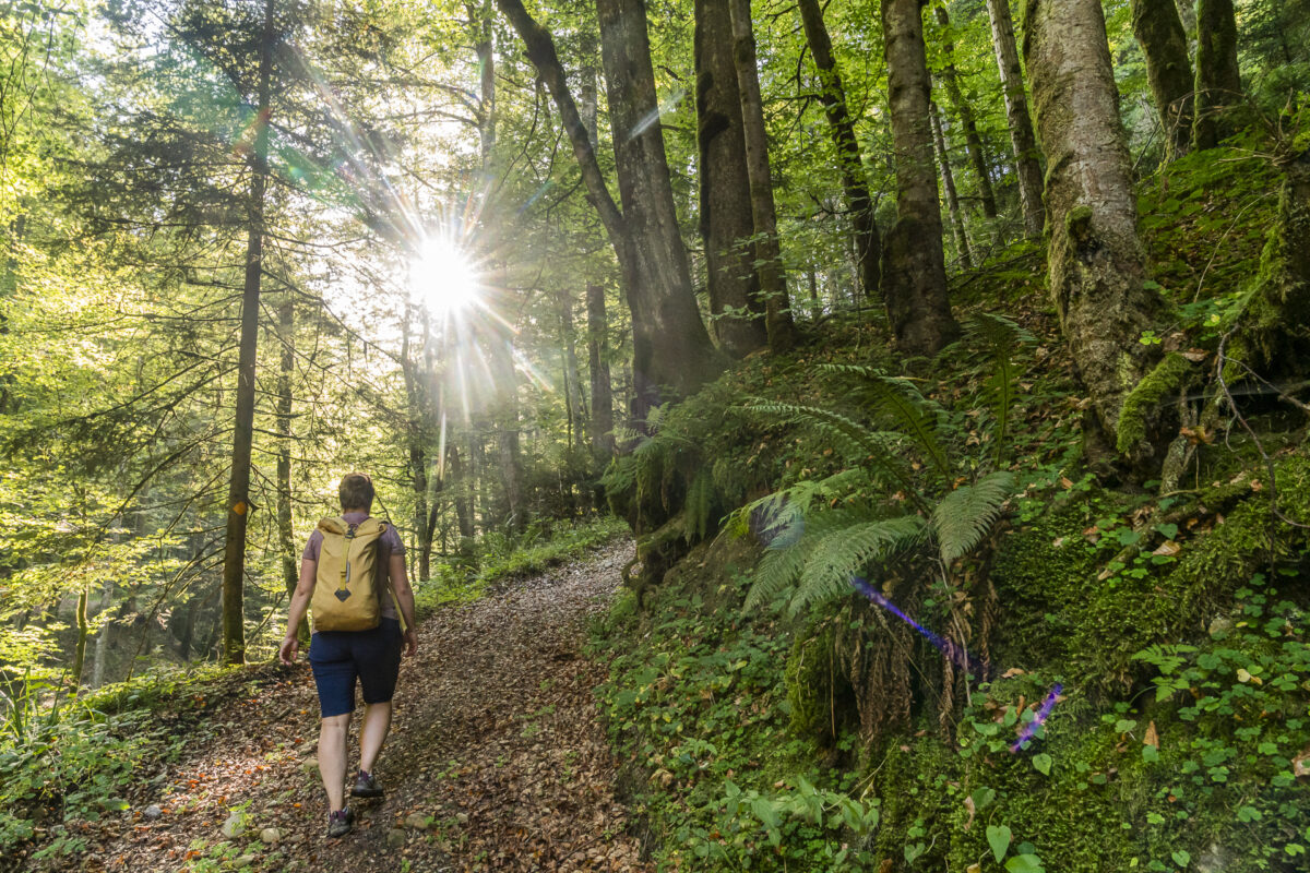
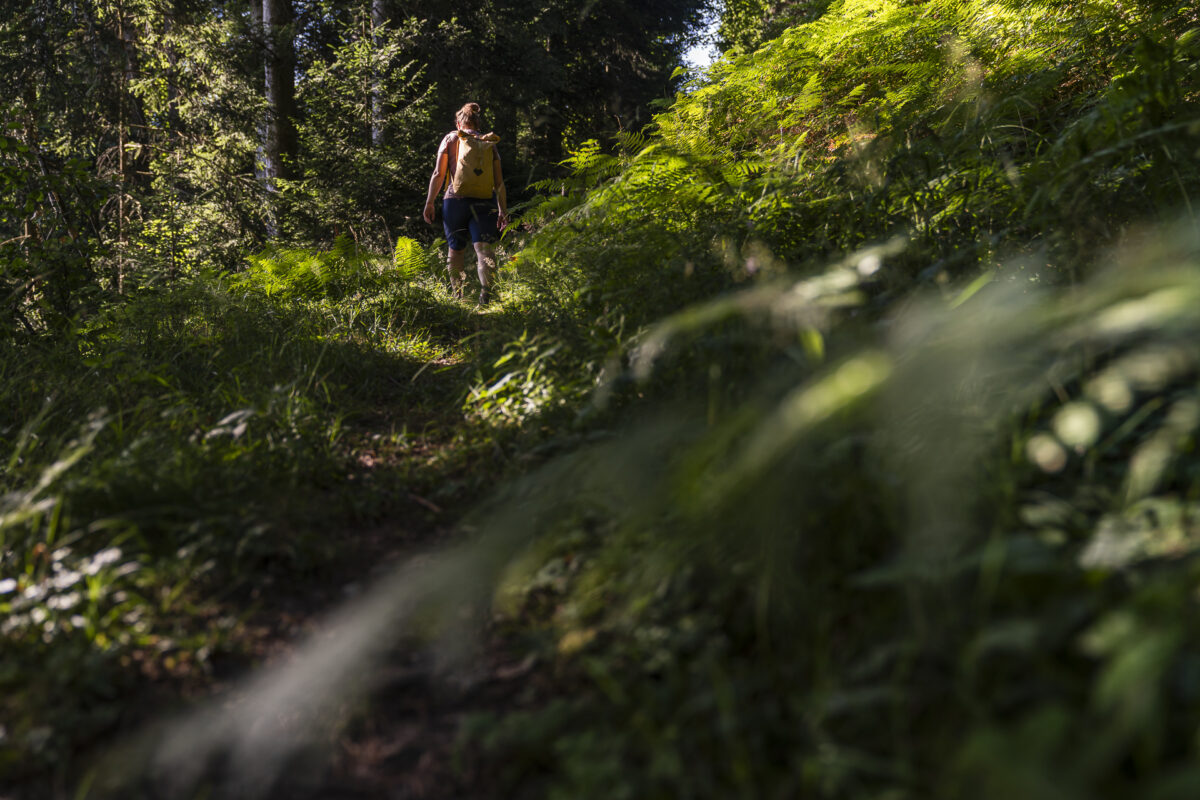
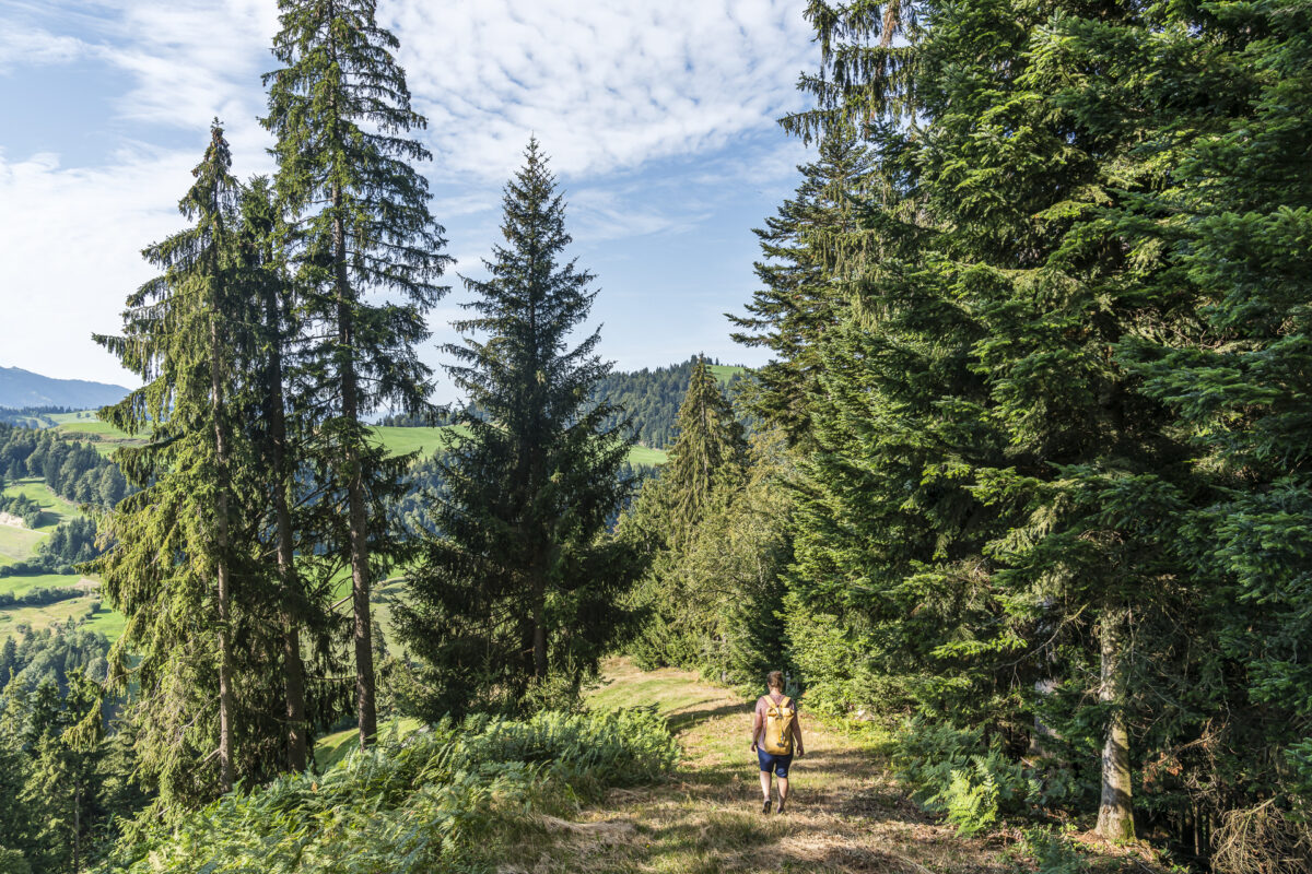
After we follow a tarred road from Romoos for around 800 meters, the hiking trail leads into the Längestei forest. Even on this midsummer day it is pleasantly cool under the dense, shady canopy of leaves. I breathe in and out deeply the earthy, mossy forest scent. How beneficial! For the next hour we climb through the forest around 250 meters towards “Hängele”. In between, you can learn more about the local flora and fauna and the traditional industry that sources its raw materials from the forest on information steles. The information steles also contain stimulating questions that are aimed at both adults and children and encourage them to actively perceive their surroundings.
Over sunny ridges and through narrow ravines through the extensive Napf area
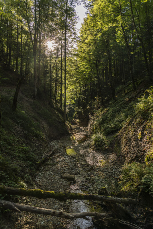
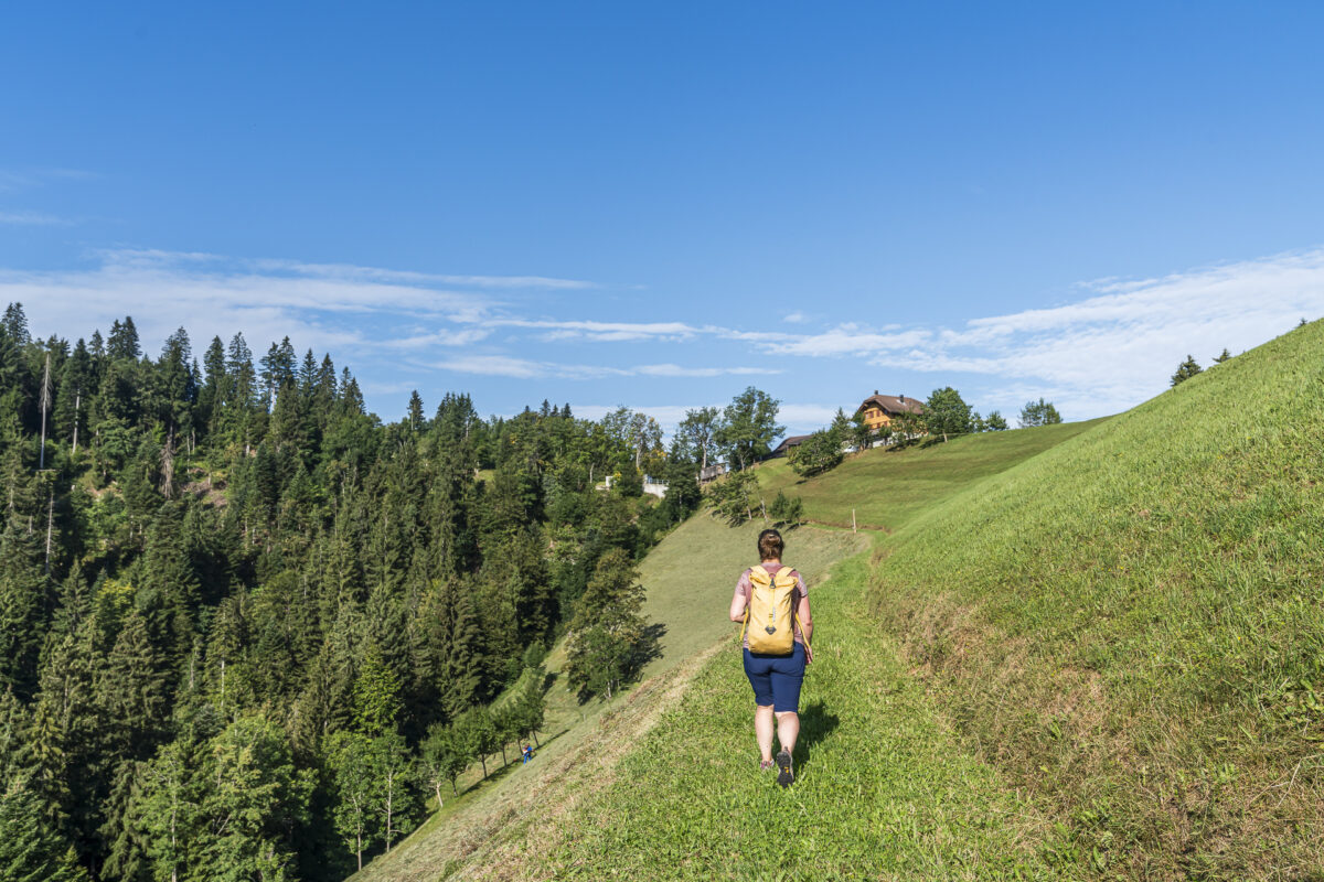
After this first part of the forest, we have a brief view of the distance before we dive straight back into the forest and tackle the descent to the Goldbach past steep Nagelfluh cliffs. Whether the “Goldbach” contains more gold than other bodies of water in the Napf area is beyond my knowledge. However, it can be assumed that the name still inspires gold panners and miners to look for gold here today. In any case, this narrow, dark ravine radiates a special energy. During rainy periods, a waterfall also forms here and an old, abandoned charcoal burner’s hut is a reminder of the old craft.
And with foresight continue to Bramboden
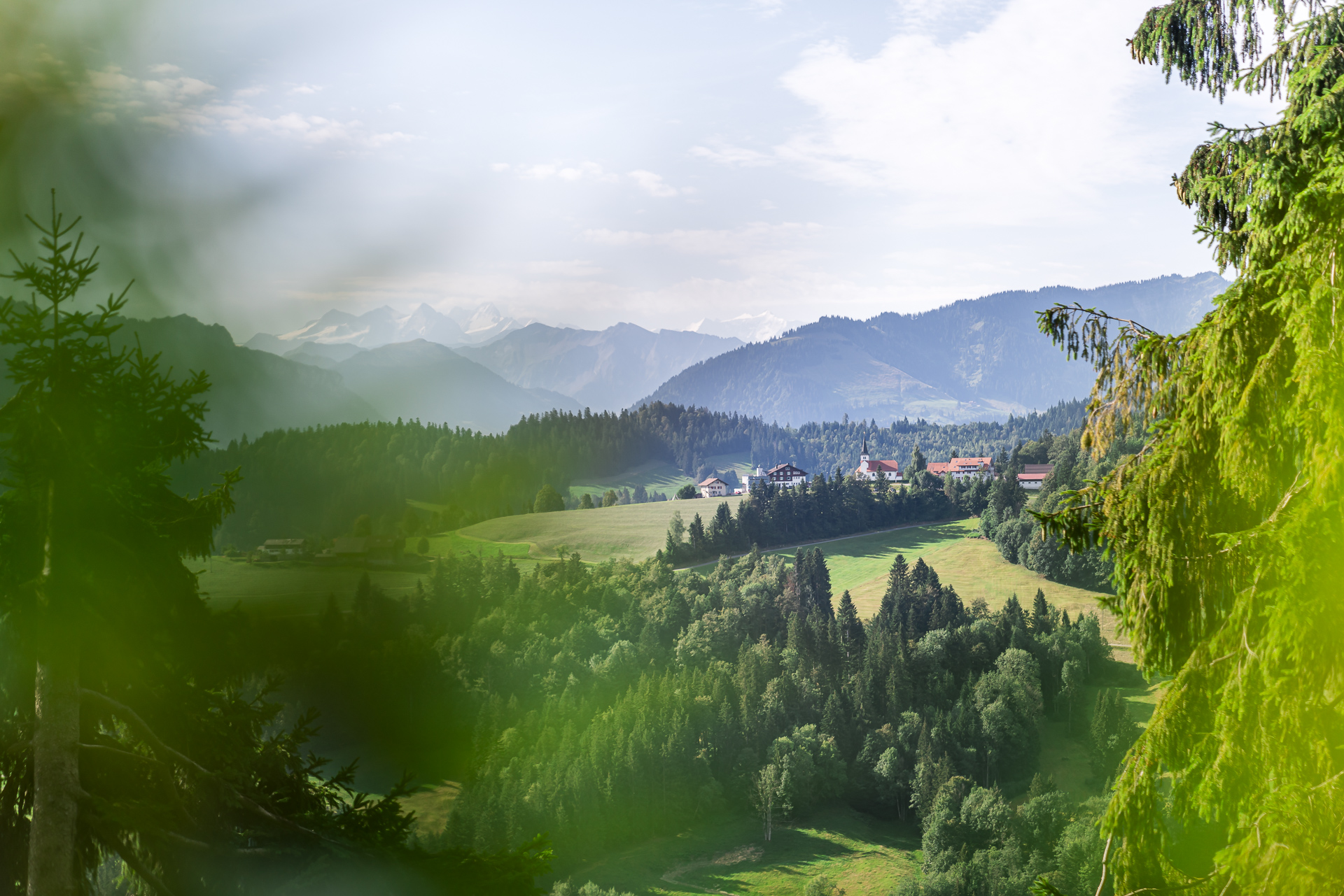
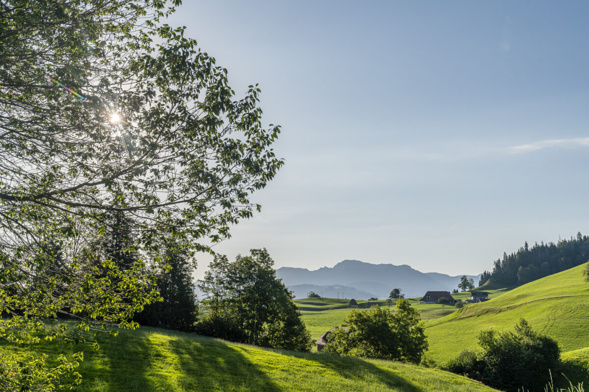
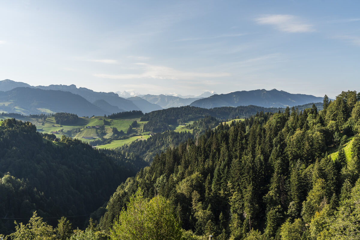
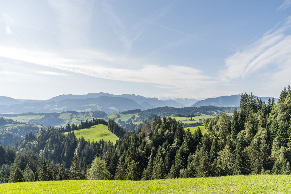
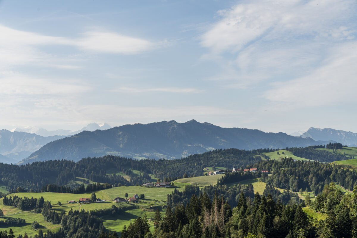
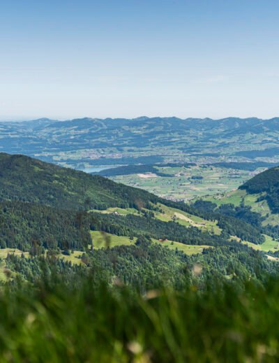
From the depths of the Goldbach we follow the hiking trail to the Ober Länggrat. Here at 1,149 meters above sea level we have not only reached the highest point of the hike, but are also rewarded with a wonderful panoramic view over the hills of the Entlebuch and Emmental to the Bernese Alps. And our destination – Bramboden with its picturesque town center – can already be seen in the distance. From here you could hike to the Napf in 1.5 hours. However, we don’t see the highest point in the area – the hilly Napf area likes to keep its summit covered, as we had already discovered on previous trips to the region.
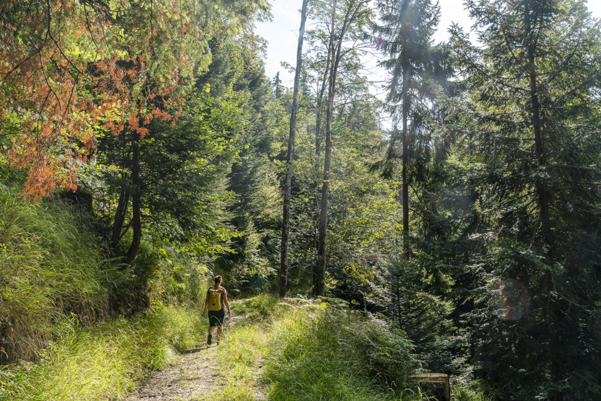
We now follow the Köhlerweg towards Seeblibach – another ravine that has to be crossed on the way to Bramboden. Technically speaking, the following game has a few surprises in store; overgrown passages, narrow, sloping places and only a few path markings. No, the route between Länggrat and Seeblibach doesn’t seem to be very busy. We didn’t meet anyone else that morning either. Somehow at this moment we really feel a little like we are in the “wild west”; a name given by the people of Lucerne for the UNESCO Biosphere Entlebuch, which also includes the Napf area.
Traditional crafts along the way
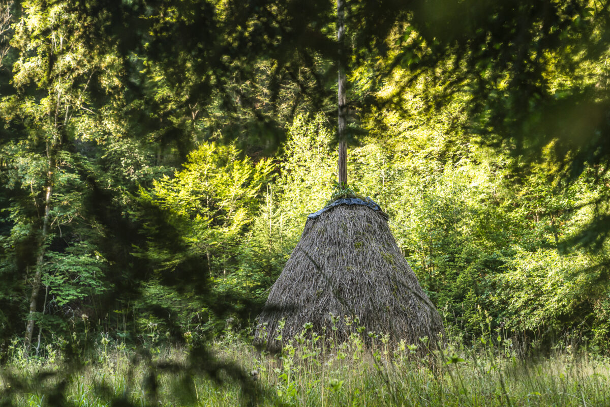
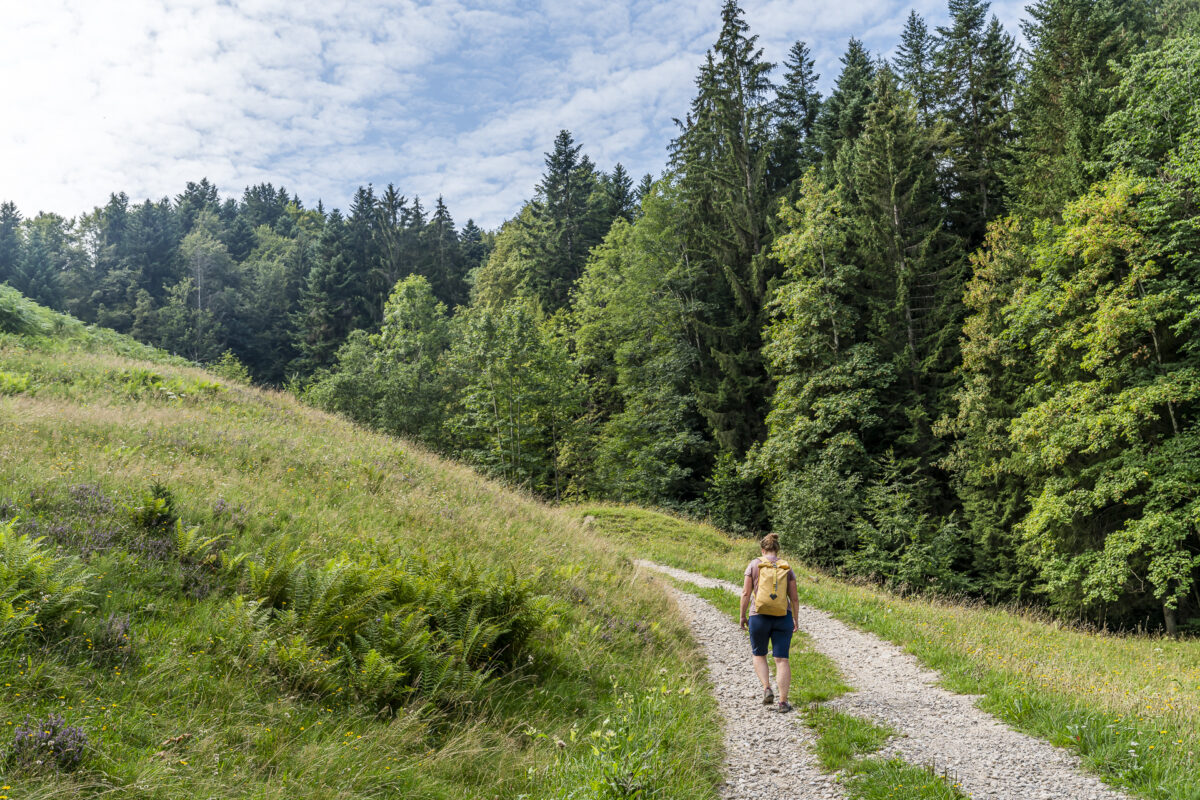
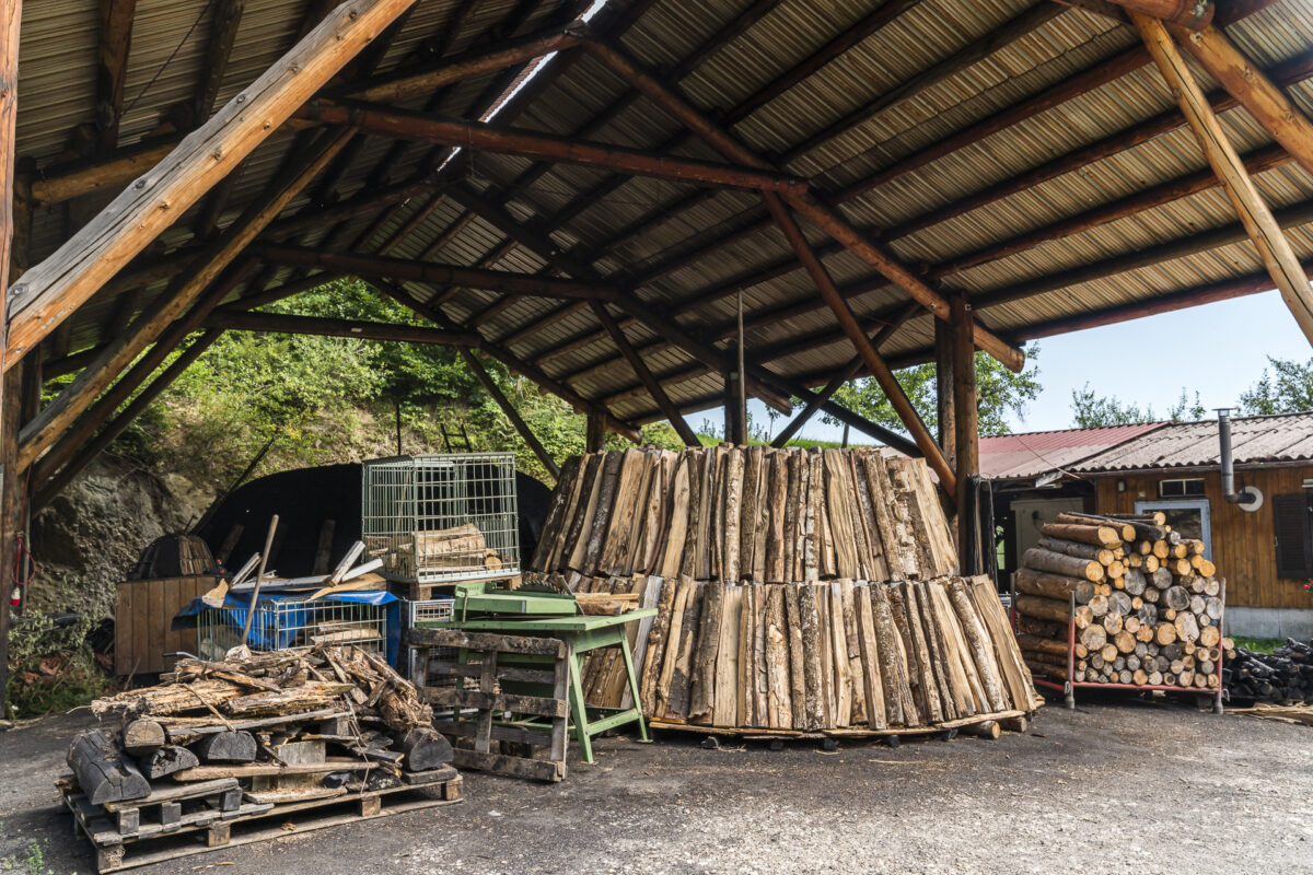
All good things come in threes. This motto also applies to the climbs on the Köhlerweg. Once the Seeblibach has been crossed, the third and final climb of the hike awaits us. Shortly before Bramboden we pass one of the 11 remaining cabbage plots around Bramboden and Romoos. A charcoal kiln is currently being prepared here. It is therefore quite possible that on a hike in September or October you can look over the shoulders of the charcoal burners at work.
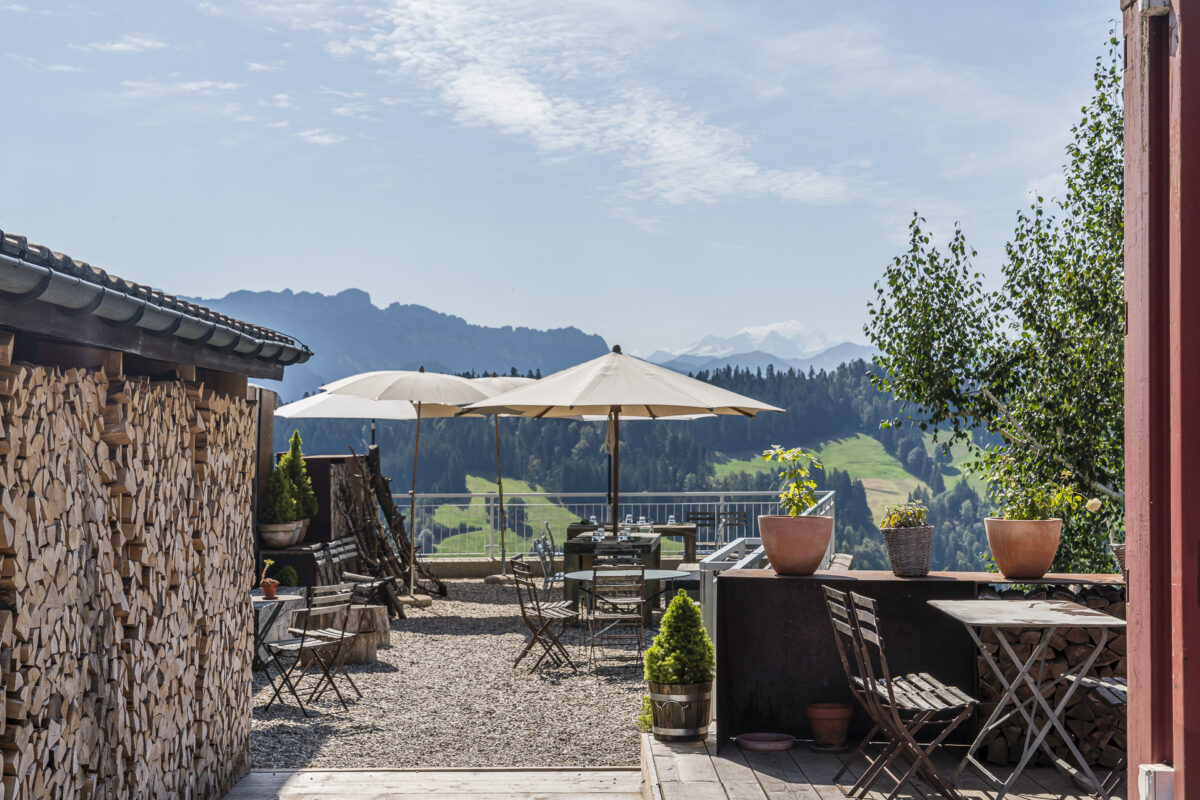
Alternatively, the waiting time for the post bus connection can also be easily done in Weitsicht-Treff in Bramboden. The meeting is part of the Wiesner Mysterion – Stefan Wiesner’s new place of work in Bramboden. While the “Witcher” invites you on a culinary journey from Wednesday to Saturday between 11:30 a.m. and 5:00 p.m., the Weitsicht-Treff, which is run as a self-service restaurant, is open daily from 9:00 a.m. to 10:00 p.m. When the weather is nice, the terrace with its wonderful view over the Entlebuch hills invites you to linger, and when the weather turns bad you can retreat to the cozy library. We thought it was great!
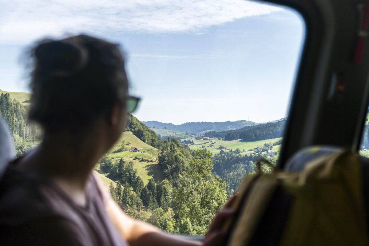
The post bus ride over the winding route from Bramboden to Schüpfheim is also an experience. Here you can review the tour you just completed.
Key details of the Romoos – Bramboden hike
You can see the route of the hike on the Köhlerweg from Romoos to Bramboden on the map below. It is a yellow marked hiking trail with difficulty level T1/T2. Please note that the descent from Länggrat to Seeblibach includes one or two slightly more sloping sections and the path, which is partly heavily overgrown, is not clearly visible everywhere.
| Starting point | Romoos bus stop, post office (792 m above sea level) |
| Accessibility | reachable by public transport |
| Length | 11.0 kilometers |
| Elevation meters | ↗ 863 m ↘ 603 m |
| Duration | 4:00 h |
| Destination | Bramboden bus stop, church square (1,053 m above sea level) |
| Catering | Foresight meeting Bramboden |
Practical tips for your hike on the Romoos Köhlerweg
-
- Romoos is accessible from Wolhusen every day all year round with line no. 221 every hour.
-
- From Schüpfheim you can take line no. 234 to Bramboden. The connection is offered from the end of April to the end of October on Saturdays, Sundays and public holidays with four courses in both directions – I therefore recommend that you consult the timetables in advance when planning the hike and coordinate the hiking time with the Postbus timetable.
-
- Alternatively, you can continue hiking from Bramboden to Schüpfheim in two additional hours of hiking. There is – how could it be otherwise – another ravine to cross.
-
- On the Biosphere Entlebuch website you can find further information about the Romoos Köhlerweg.
-
- You can find further information about the timetable and other excursion destinations around the Napf on the PostBus website.

Leave a Reply