



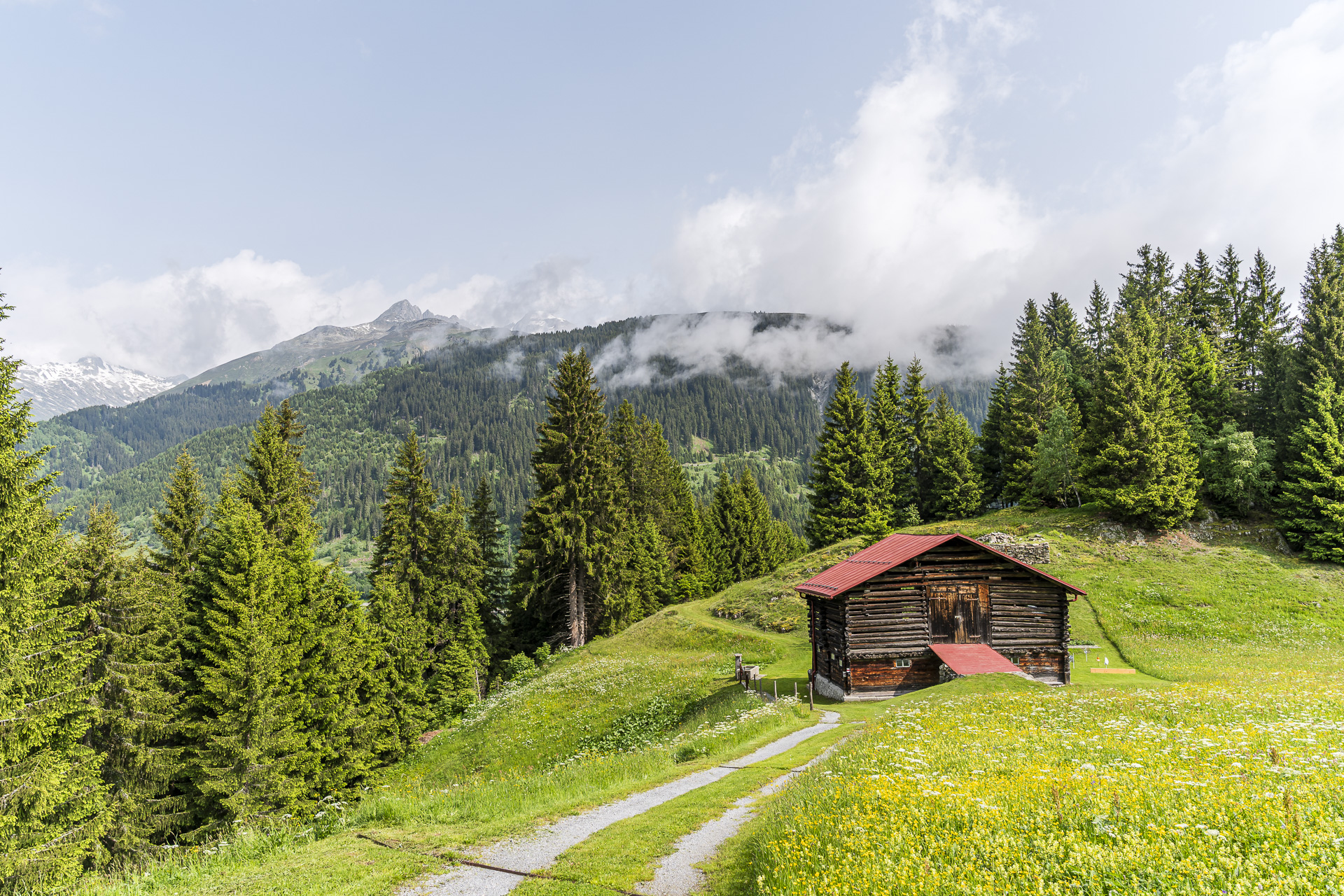
On the Walserweg Gottardo from Curaglia to Tschamut
Narrow edge paths and wide views: Our hike along the Walserweg Gottardo takes us from the idyllic Val Medel to Tschamut at the foot of the Oberalp Pass. Why we chose to start in Curaglia and why the hike is especially worthwhile now in June, you can read in this blog post.
The accommodation tip that drew us to Val Medel
When friends or acquaintances pass me an accommodation tip with the note “Anita, you might like this too,” it goes straight onto my idea list. Over the years it has gotten pretty long. Some places have been on it forever – mostly because I hadn’t yet come up with the right idea to combine them with a suitable hike. With the Bed and Breakfast Chrämerhus in Curaglia it was different: my parents spent a winter weekend there and used it as a cozy base for snowshoe tours in Val Medel. Their enthusiasm was contagious and I immediately knew we would like it too.
Originally I had planned to combine the overnight stay at the Chrämerhus with a two-day hike on the Walserweg Gottardo This long-distance route runs in 14 stages from Binn in Valais to the Surselva in Graubünden, following the historic traces of the Walser along the way. Curaglia in Val Medel is ideally situated: as the transition point between stages 12 and 13, the Chrämerhus is an excellent option for a relaxing overnight stop – after the roughly 20-kilometer stage from the Oberalp Pass and before the next, shorter but with 1,300 meters of elevation gain quite demanding stretch over the Alp Soliva to Sumvitg.
Because of the weather we had to adjust our originally ambitious hiking plans a bit. But we definitely didn’t want to miss the overnight stay at the lovingly run Chrämerhus. The charming BnB offers six nostalgically furnished rooms. Shower and toilet are on the floor and are shared with other guests – but they are comfortably equipped and lack nothing. On the top floor a cozy common room invites you to linger, and in good weather you can enjoy the last rays of the day on the terrace behind the house. By prior arrangement a fine, homemade 3-course menu is served. For us there was a stinging nettle soup made with fresh nettles from the garden, a large bowl of crisp salad from the raised bed, and Chnöpfli with cheese from the surrounding alpine pastures.
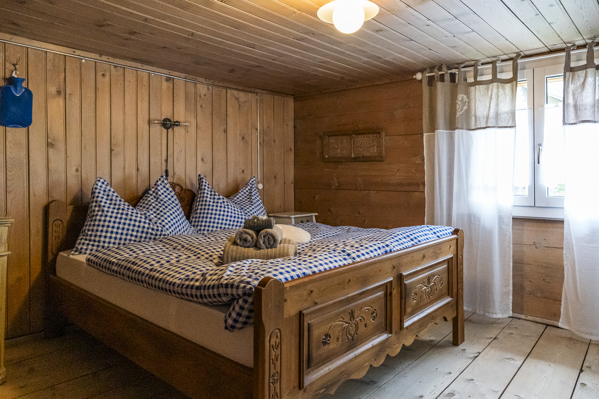
BnB Chrämerhus Curaglia | Overnight stay in a double room from 175 CHF incl. breakfast | Dinner by prior arrangement, cost 45 CHF (prices as of 2025)
An enjoyable ascent from Curaglia to Stagias
Around Curaglia there are numerous hiking opportunities. Right in the village, for example, the six-kilometer circular hike starts Senda dil senns Val Plattas. A detour to nearby Disentis with its impressive monastery is also an option. We ultimately decided not to deviate entirely from our original idea and to hike the 12th stage of the Walserweg Gottardo in the reverse direction. The advantage of this variant: the stage length can be adjusted flexibly along the way — ideal in uncertain weather or if you want to take it more leisurely.
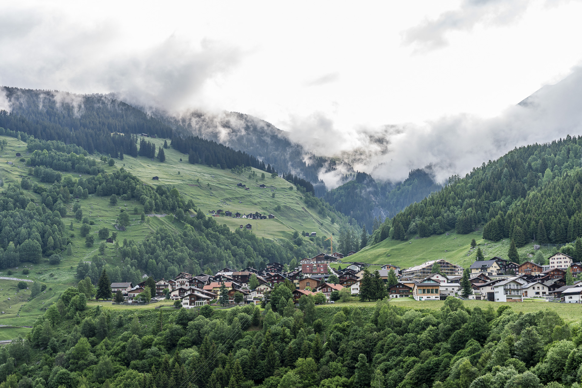
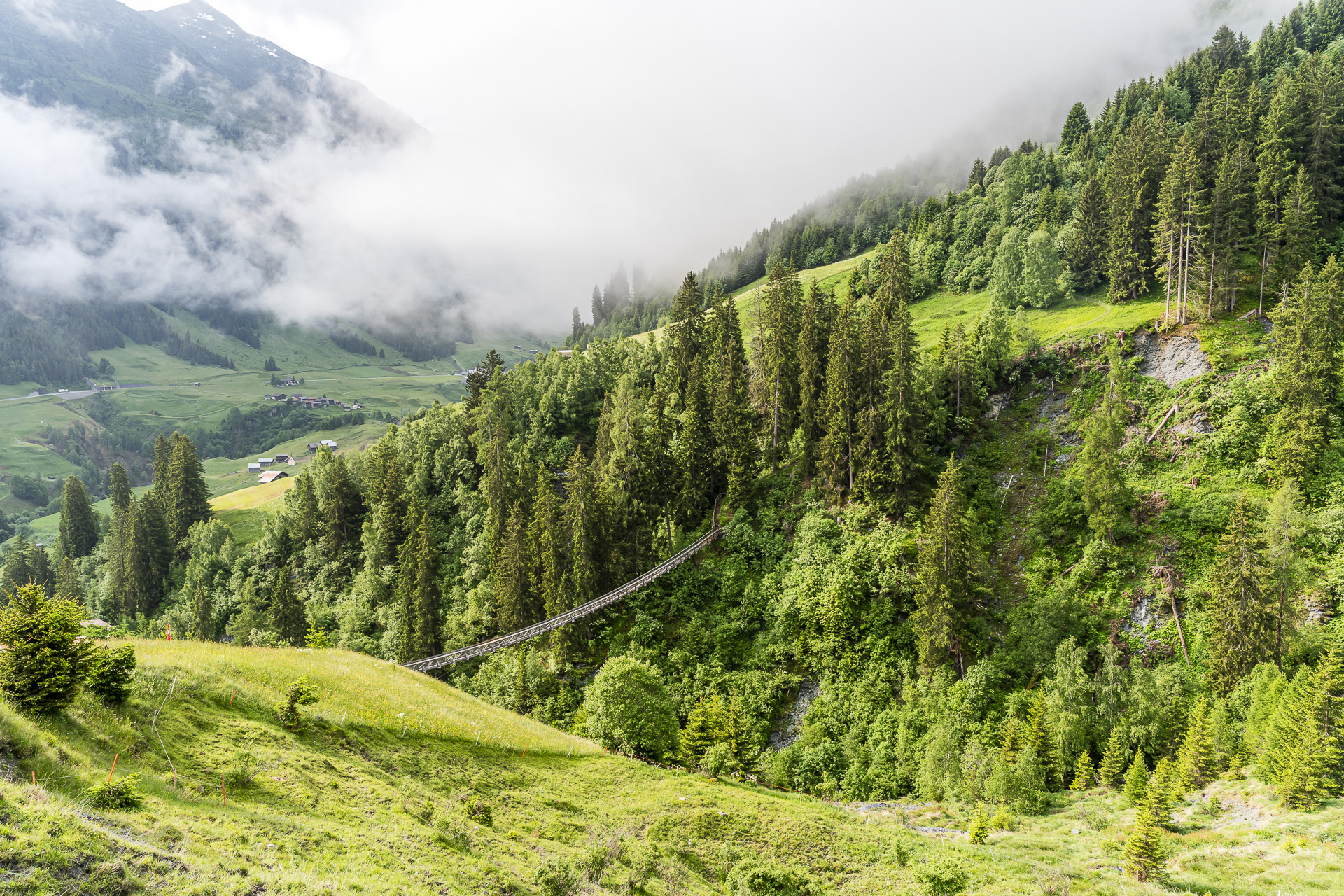
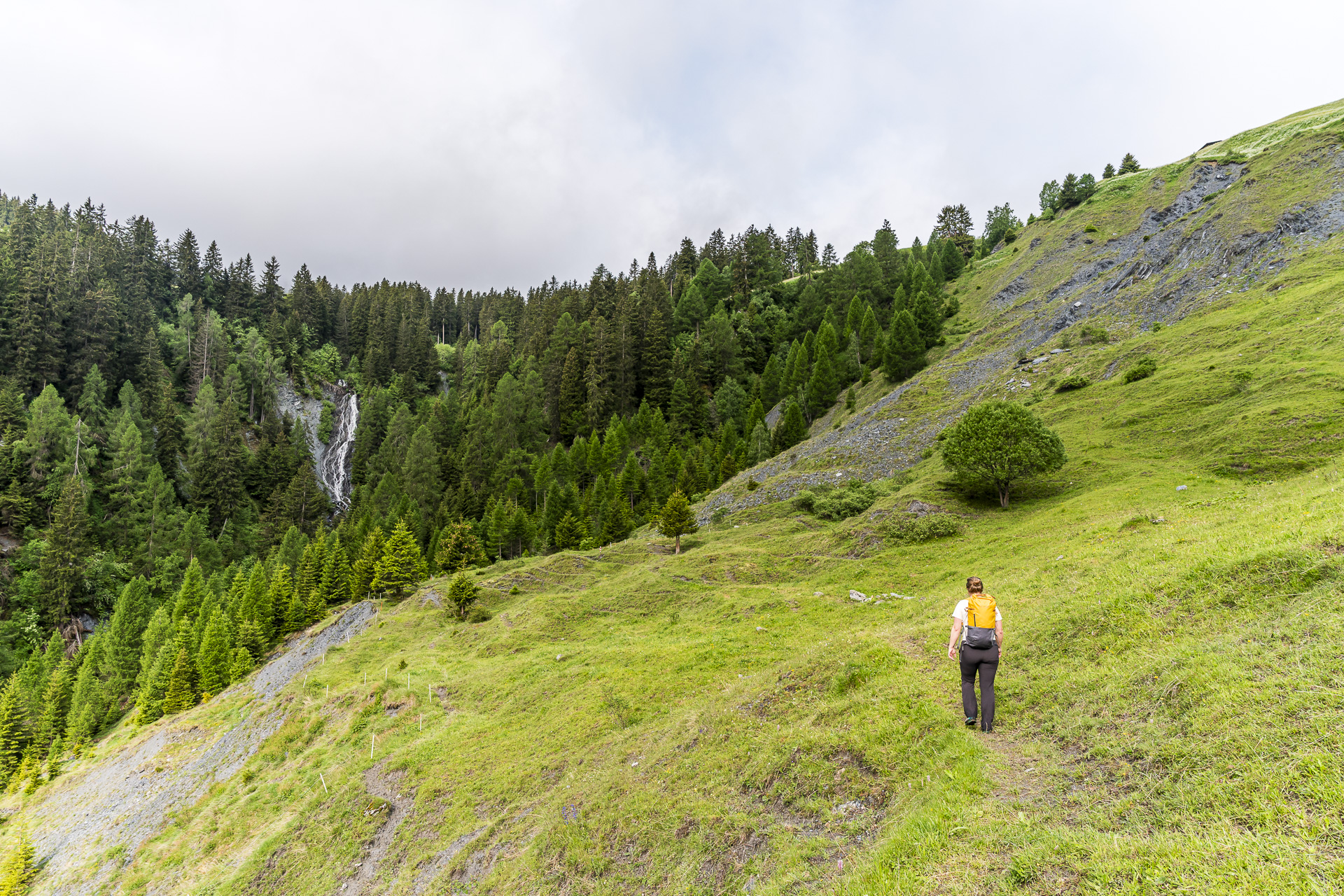
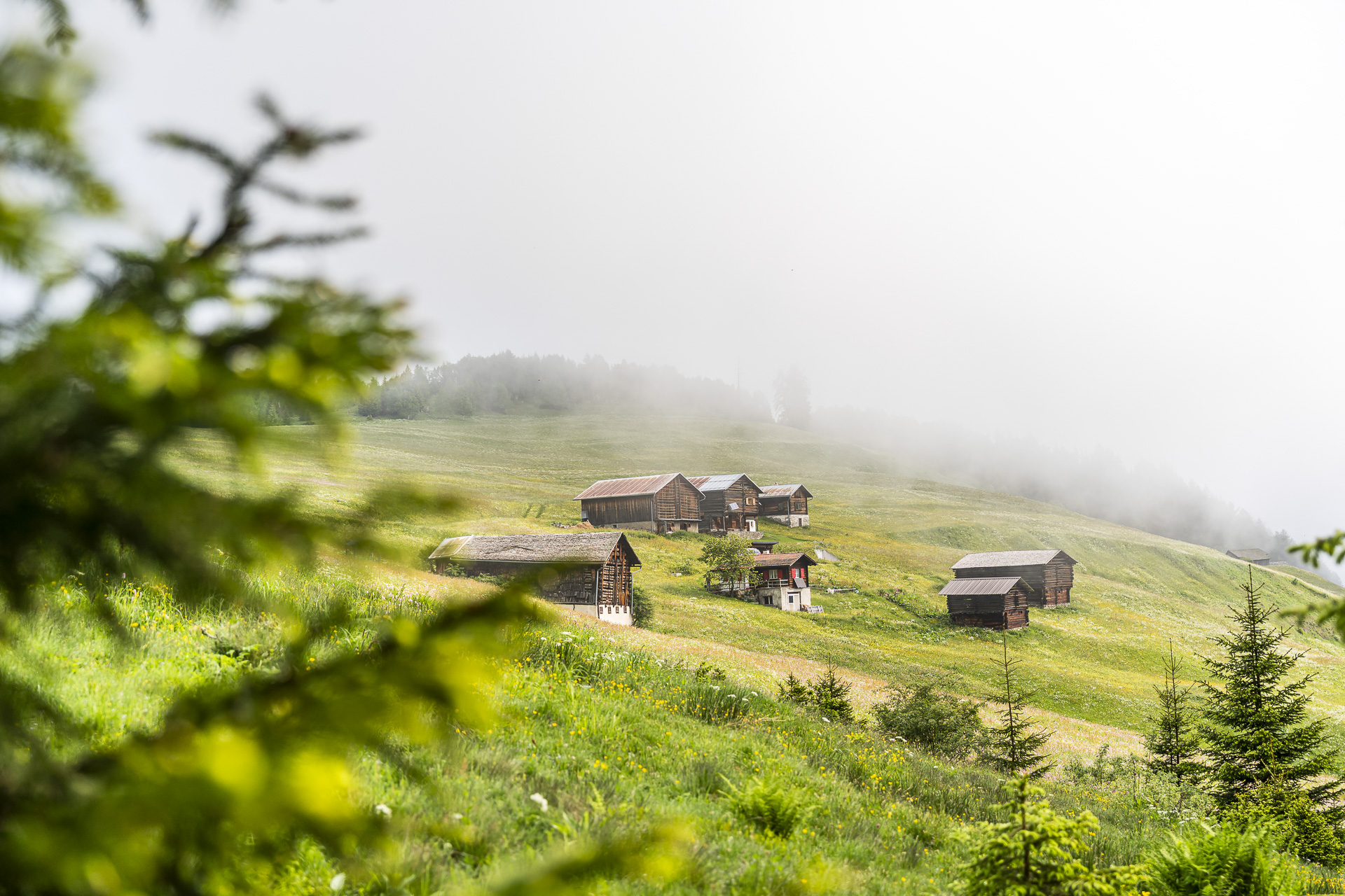
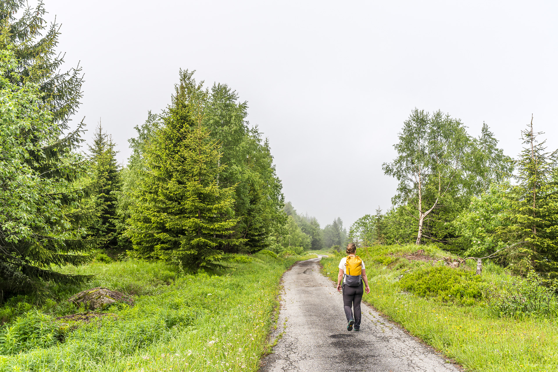
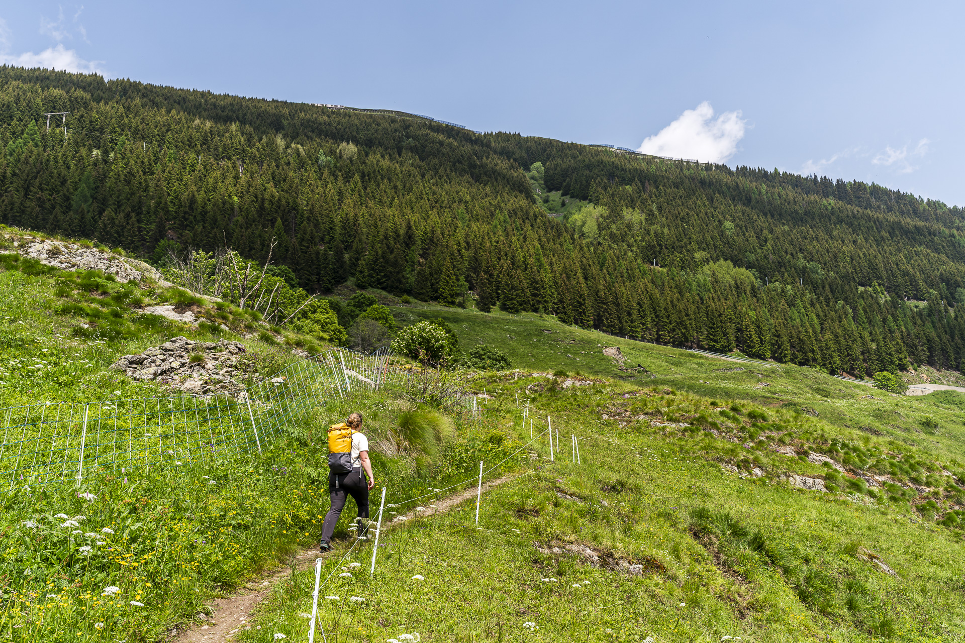
The hiking day begins in the still slightly cloud-covered Val Medel with an ascent to the picturesque settlement of Mutschnengia, which was founded by the Walser in the 14th/15th centuries. A particular eye-catcher is the 96-meter-long suspension bridge made of larch wood that spans the valley — built in 2011 by forestry apprentices. Our route doesn’t actually cross the bridge, but passes it very close by. After that the trail climbs steeply through the forest up to Stagias. The rainy spring days have left their mark in the waterlogged ground. Well, I really should have put on my tall hiking boots!
Along historic packhorse trails to Surrein/Sedrun
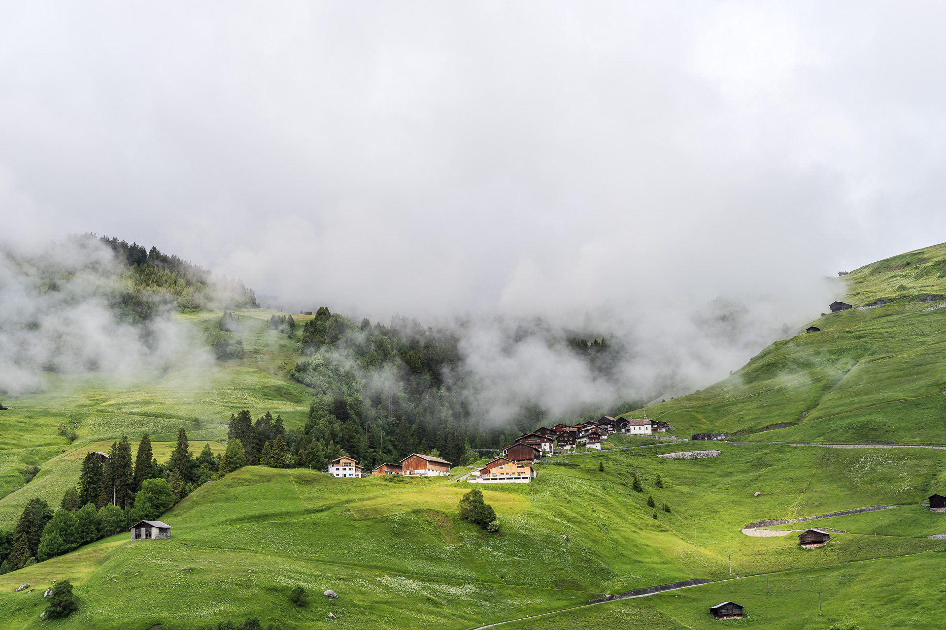
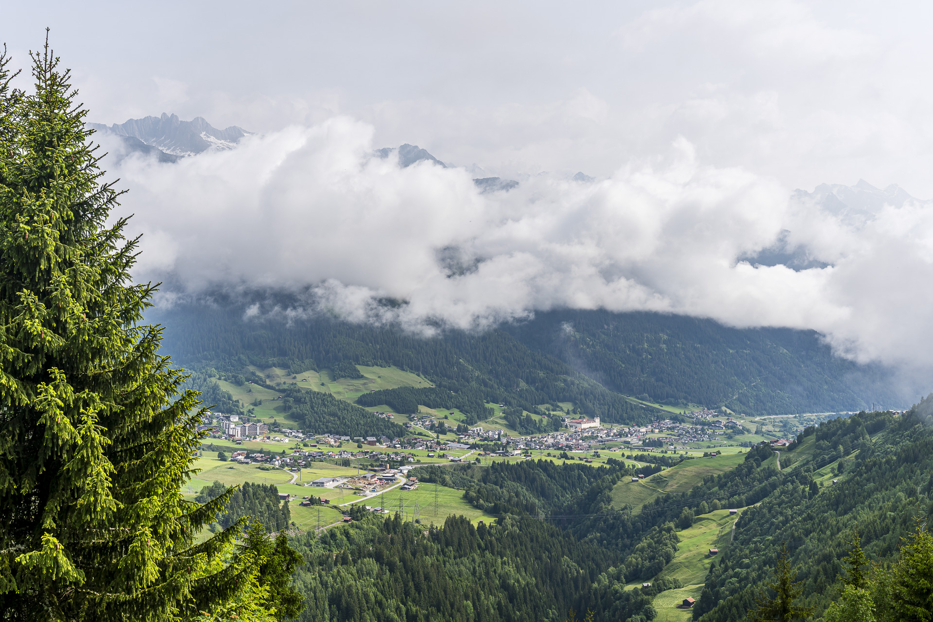
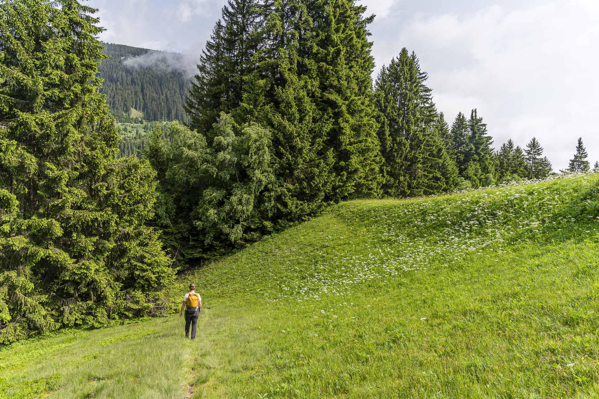
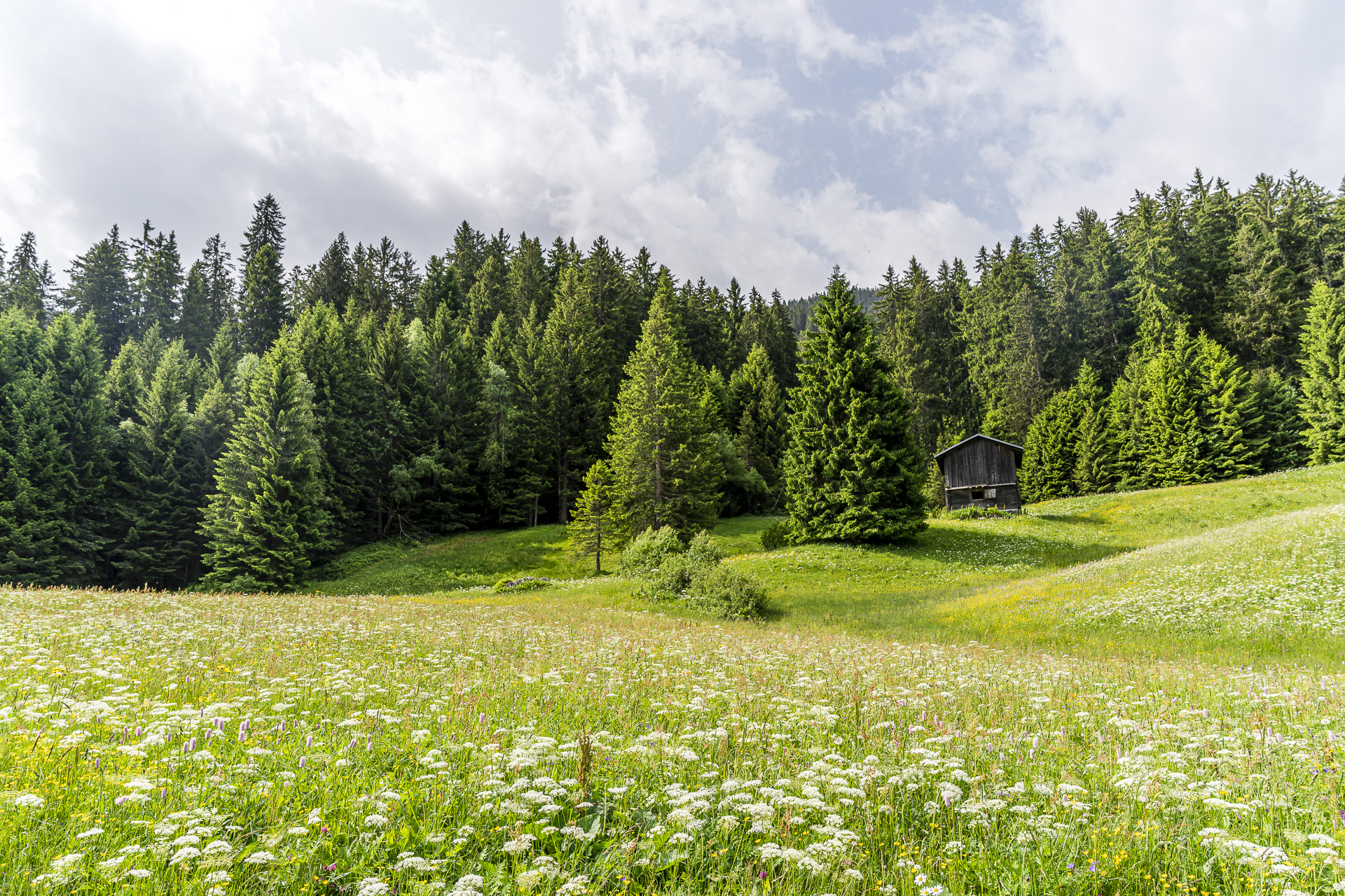
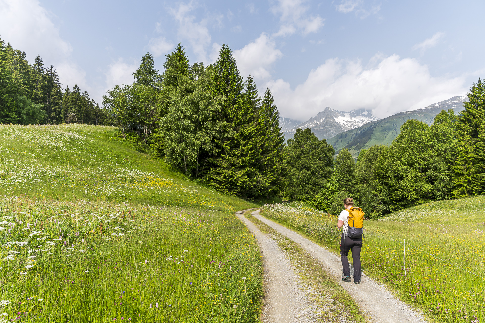
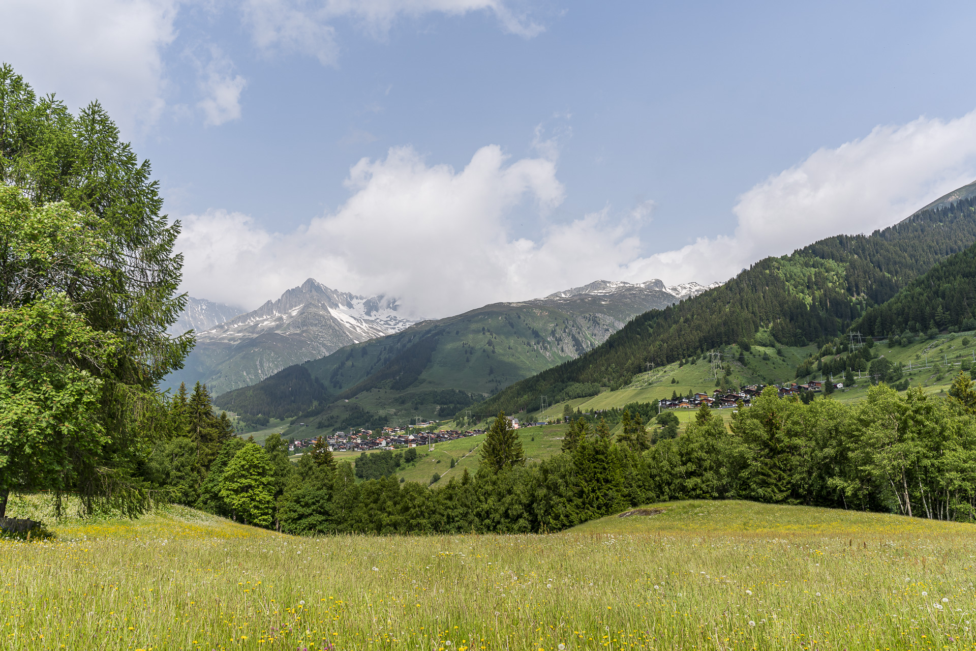
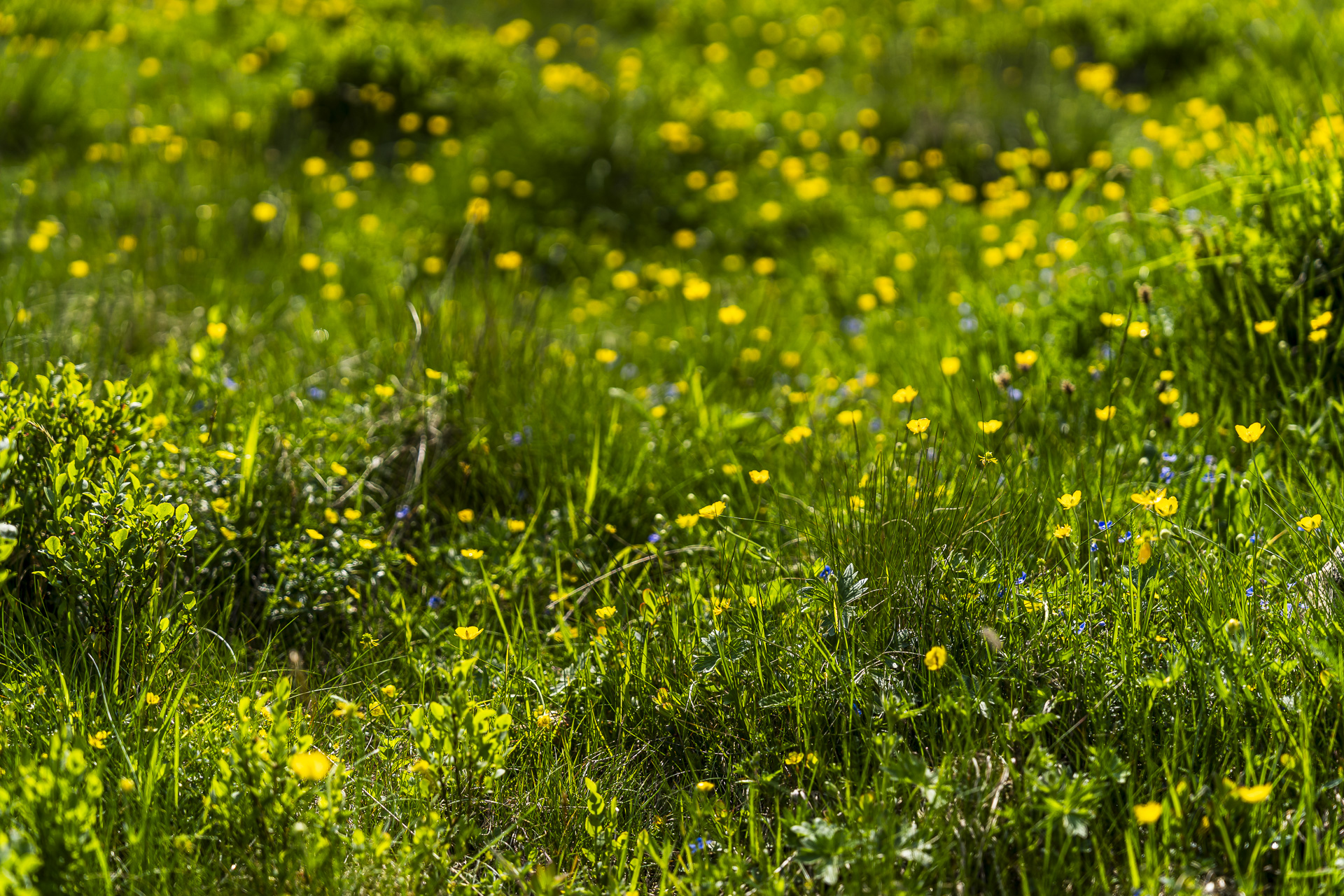
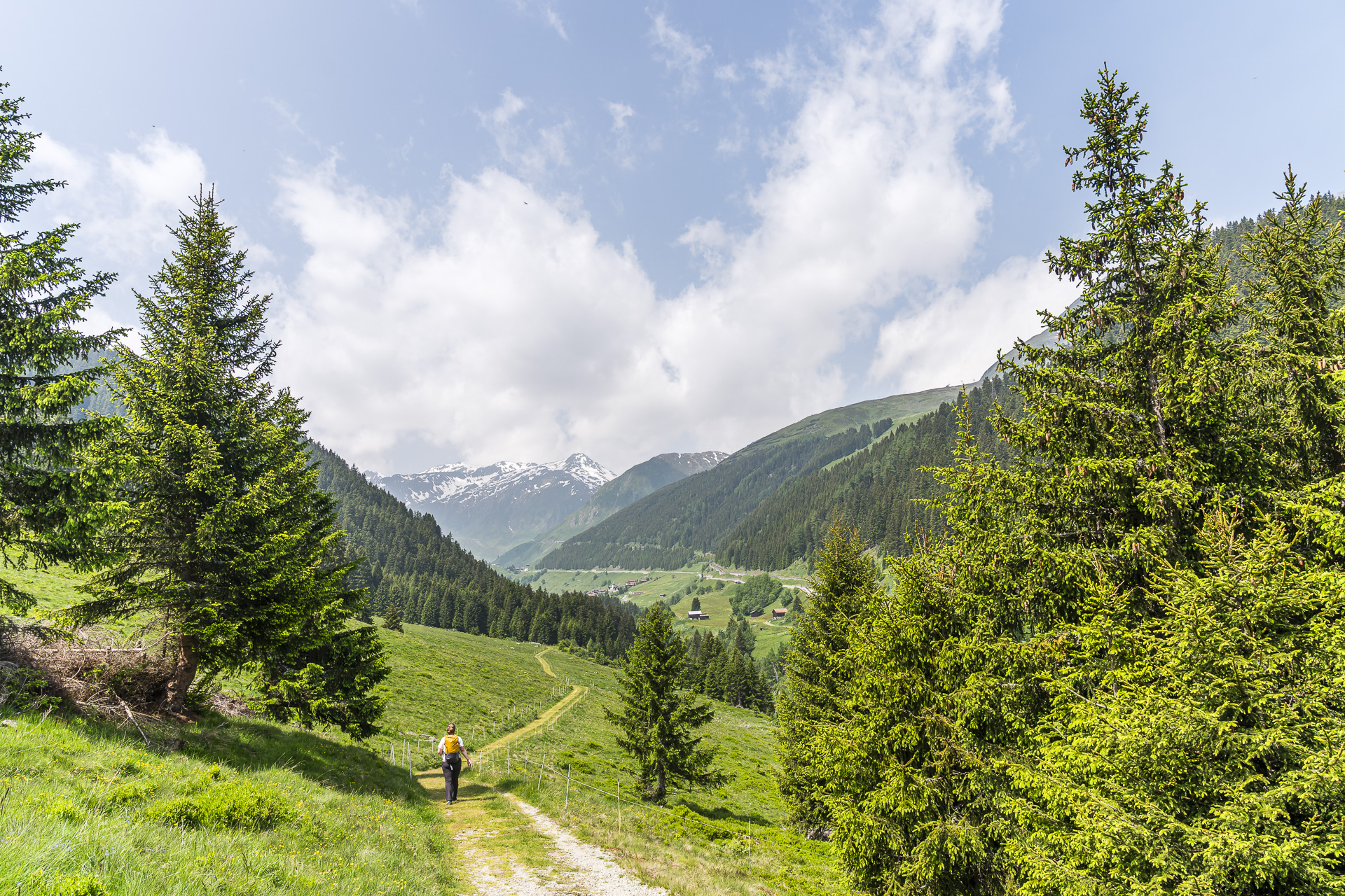
After just over an hour the first climb is done. At the trail marker «1631» we’re greeted not only by a signpost but also by an idyllic picnic spot with a barbecue area. In view of my soaked feet, I’m glad that the next kilometers mostly run over dry gravel paths. It is by no means monotonous: the historic packhorse trail leads about 2.5 kilometers down through a light forest before the hiking path winds down over flowering alpine meadows to Carvogia. Along the way, beautiful panoramic views open up again and again — sometimes toward Disentis, sometimes toward Sedrun, which now lies directly ahead of us. A highlight on this section is the profusion of blossoms on the alpine pastures; here mountain spring in June shows itself at its very best!

Stopover at Lag da Claus
From Carvogia you follow an asphalt road and cross the gorge of the Rein da Nalps. Now we’re almost back at the same elevation as when we started the hike. That means: from now on it’s uphill toward the Oberalppass. We follow the asphalt road to the hamlet of Surrein, which is located opposite Sedrun. Here the bathing lake Lag da Claus invites you to cool off, depending on the weather, and in the bistro right next to it you can buy cold drinks or a snack

On a varied series of ups and downs further toward the Oberalppass
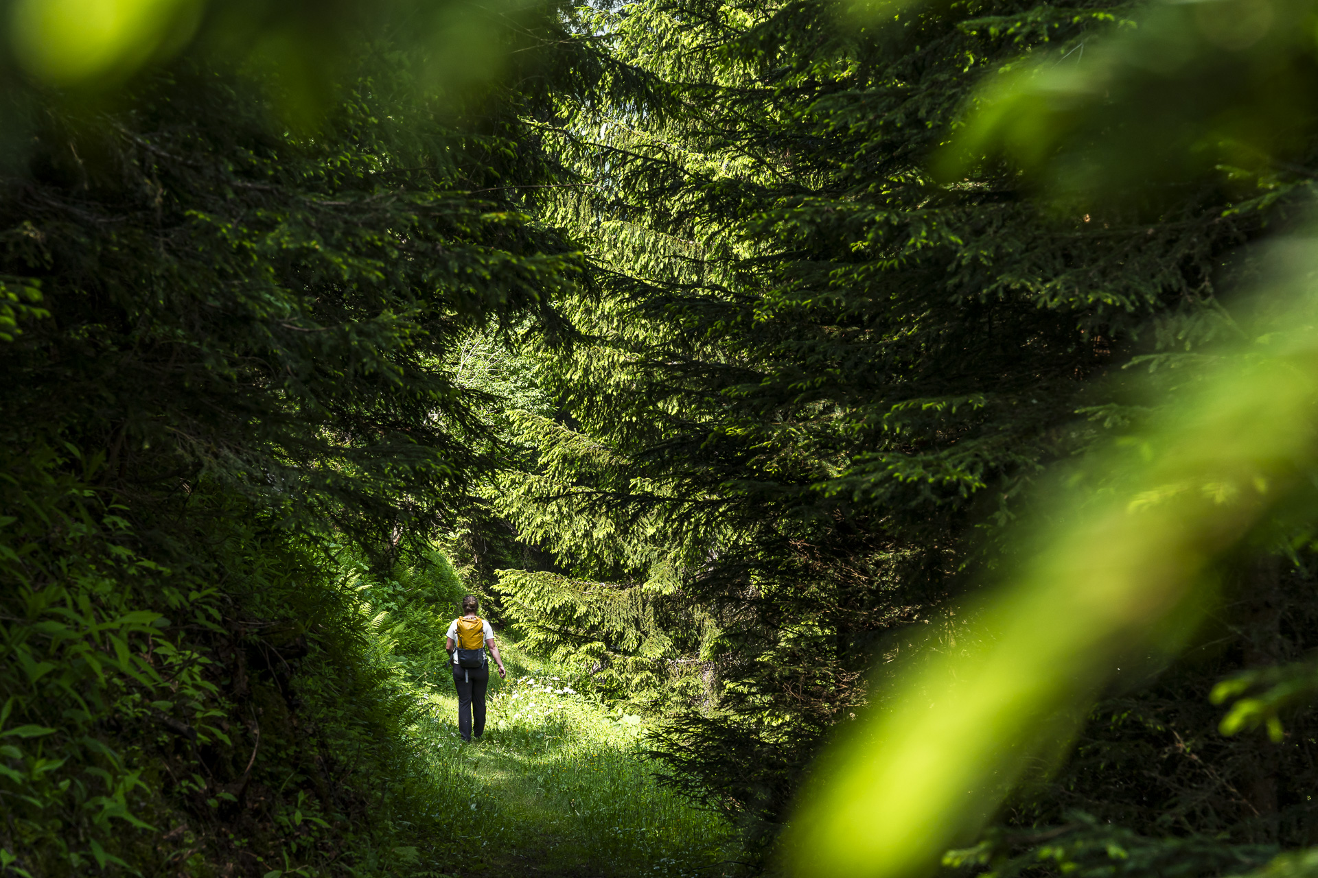
The next kilometers lead over a varied mix of narrow forest and meadow paths following the young Rhine, up to its source not far from the Oberalppass. On this section it is not only the traces of the Walser that catch the eye, but also the evidence of the NEAT construction. Between Rueras and Sedrun, for example, one of the installation sites for the Gotthard Base Tunnel is visible. Just a stone’s throw from the trail lies the Naturcamping Viva — there, two winters ago spent a weekend in a tiny house. Also a beautiful spot.
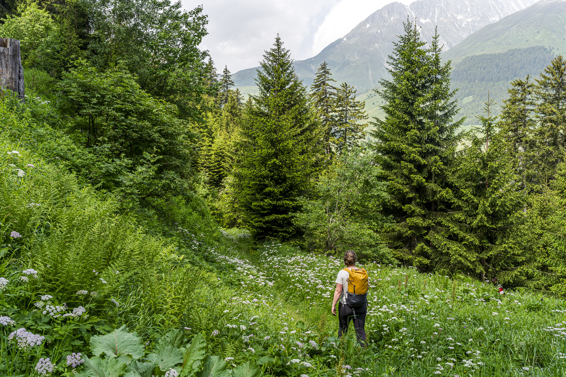
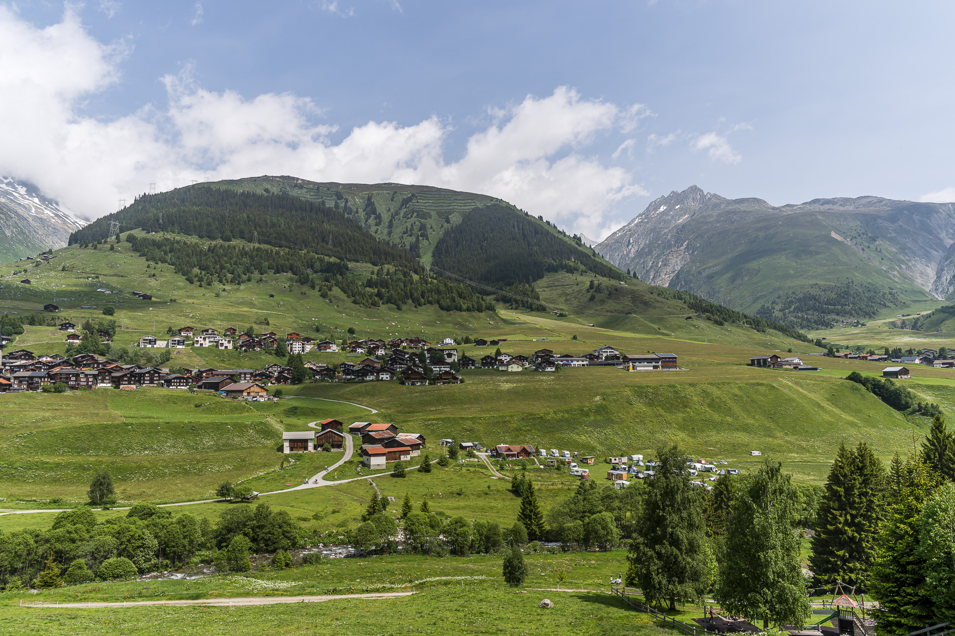
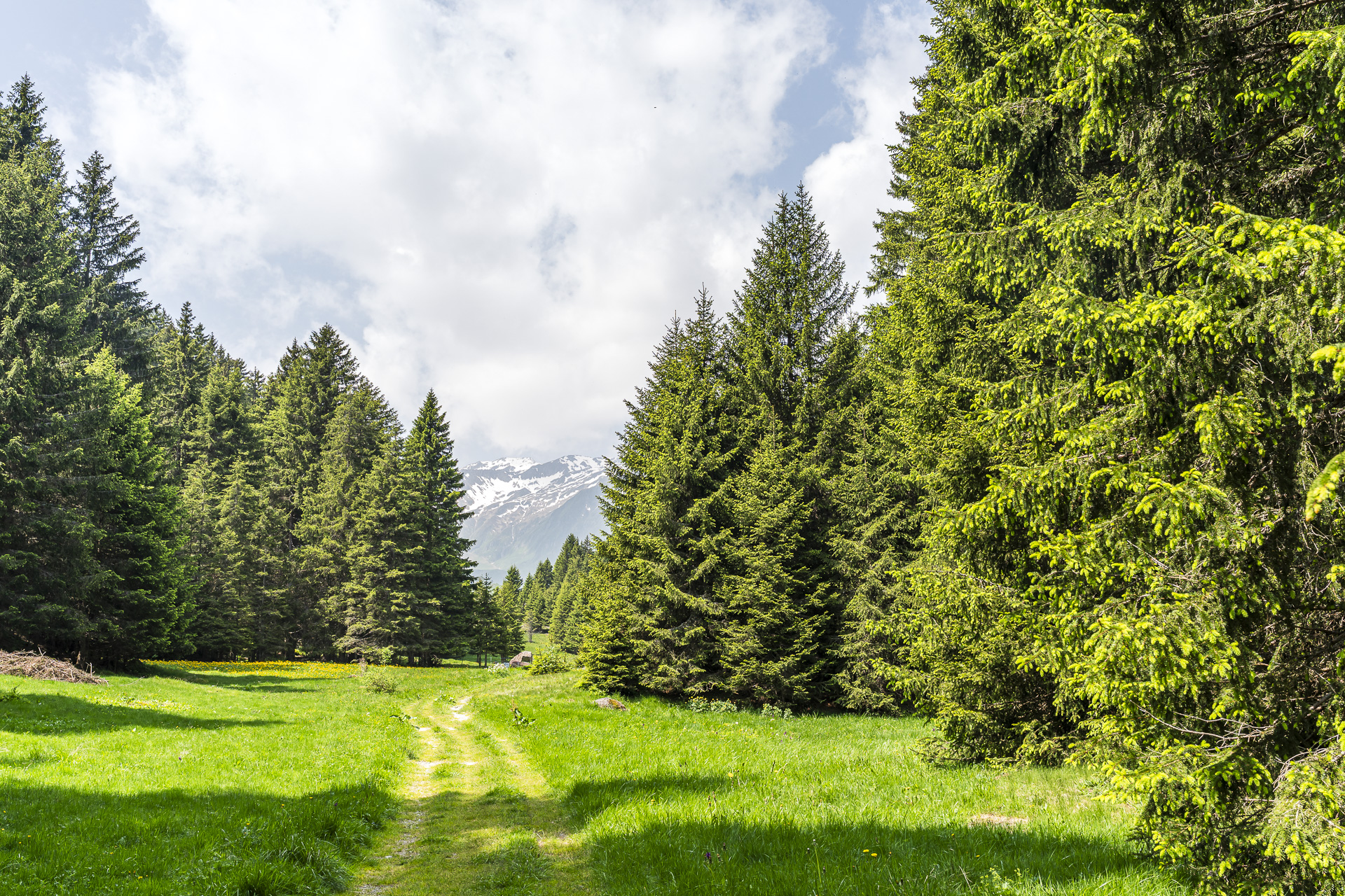
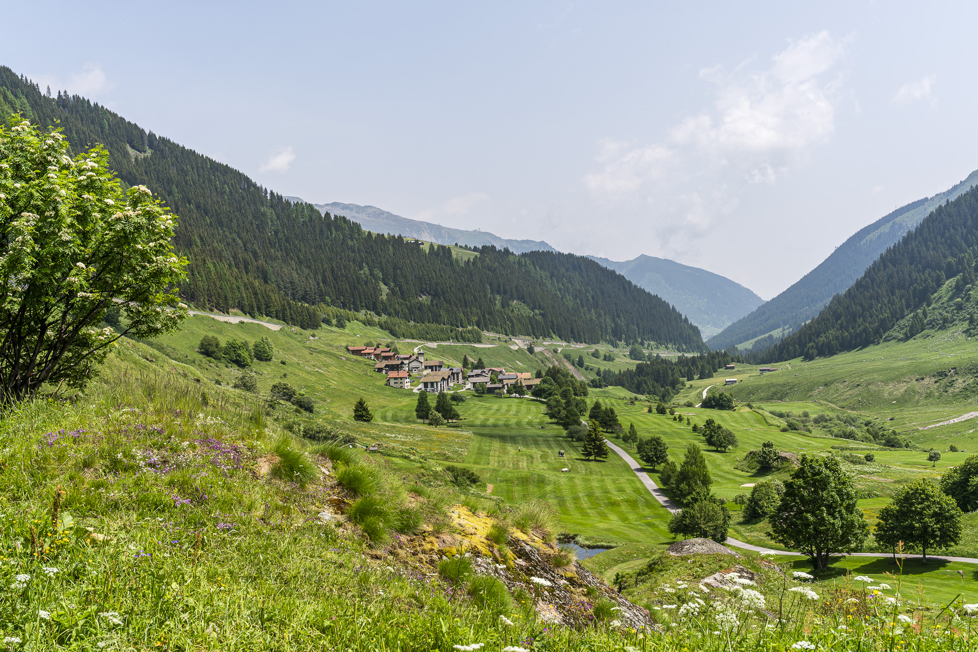
Already visible ahead are the Walser settlements «Selva» and further up – situated on a hill – «Tschamut». At Selva the hiking trail runs right through the Golfplatz Sedrun before winding up to Tschamut in small switchbacks. After almost 17 kilometers and around 1’000 meters of elevation in our legs, we decide to end the hike here. It would have been about another one and a half hours to the Oberalppass – but since we hadn’t packed any provisions, the only restaurant in Tschamut was closed and the train connection was just perfect, this decision wasn’t too hard for us.
Key facts of the Curaglia – Sedrun – Tschamut hike
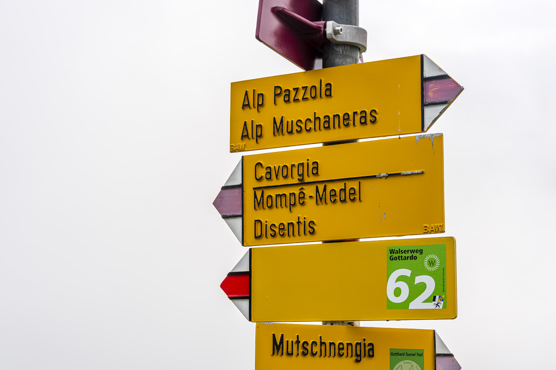
The following hiking map shows the route of our tour on the Walserweg Gottardo from Curaglia to Tschamut. It is a white-red-white marked mountain hiking trail (T2/T3). The most technically demanding section is on the ascent from Mutschnengia to Stagias. On wet ground it can become slippery there – ankle-high hiking boots are therefore recommended. The Walserweg Gottardo is signposted with route number “62”. In some places the route deviated slightly from the course shown on SchweizMobil, and the markings were not always clear. However, anyone who stays attentive and looks out for waymarks on posts or stones should be able to orient themselves without difficulty.
The Curaglia – Tschamut route is signposted with a walking time of about 5 hours. (to the Oberalppass 6.6 h). We took just over 4 hours without breaks at a brisk walking pace.
| Starting point | B&B Chrämerhus / PostBus stop Curaglia Posta (1,273 m a.s.l.) |
| Accessibility | Accessible by public transport |
| Length | 16.8 kilometers |
| Elevation gain | ↗ 1’015 m ↘ 650 m |
| Duration | 5:00 h (walking time only) |
| Destination | Tschamut-Selva station (1’701 m above sea level) |
| Refreshment stop | Ustria Lag da Claus |
Practical tips for your hike from Curaglia to Tschamut
- Curaglia is accessible by public transport via Disentis and lies on the pass road towards Lukmanier. In Sedrun, Tschamut and on the Oberalp Pass you have connections to the Furka-Oberalp-Bahn.
- The Oberalp Pass is at 2’000 meters above sea level; depending on snow conditions, you should expect that in June there may still be snow on the trails. Up to Tschamut everything was snow-free – higher up there are currently still a few small snowfields.
- Around Curaglia there are other worthwhile hikes; for example, two years ago we did this great tour over the Pass Cristallina to the Capanna Bovarinaundertaken.
- From Curaglia you can also climb up to the Medelserhütte and from there continue to the Terrihütte / the Greinagebiet hiking.

Leave a Reply