

Poschiavo – San Romerio – Tirano: on the ViaValtellina through Poschiavo
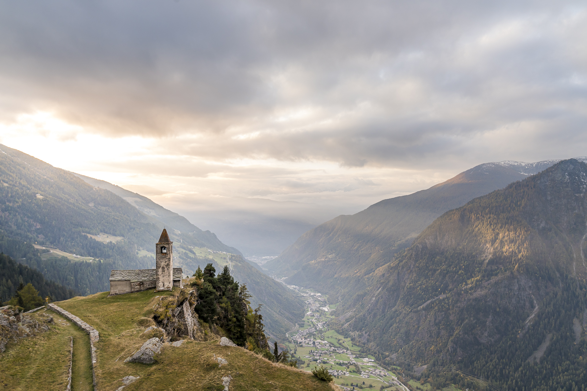
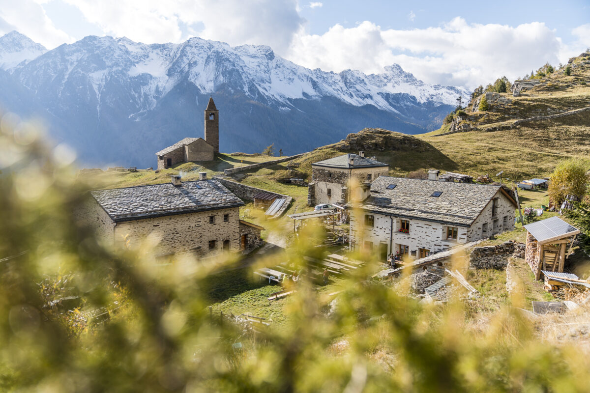
After the detour to the Val da Camp to the magnificent Lagh da Saoseo, the second part of our hiking weekend in the Poschiavo took us to a place that has been on my bucket list for a long time. The Rifugio Alpe San Romerio, which sits like an eagle’s nest on a terrain terrace high above Lake Poschiavo, is one of the most spectacular and at the same time one of the most rustic places to spend the night in the valley. Host Gino Bongulielmi has been working here since 1989 and has made San Romerio a refuge for nature lovers over the past 30 years. Up here you can effectively experience 100% Val Poschiavo!
We combined the stopover at Alpe San Romerio with a two-day hike on the ViaValtellina. Hiking fun and enjoyment are guaranteed on this tour.
The ViaValtellina at a glance
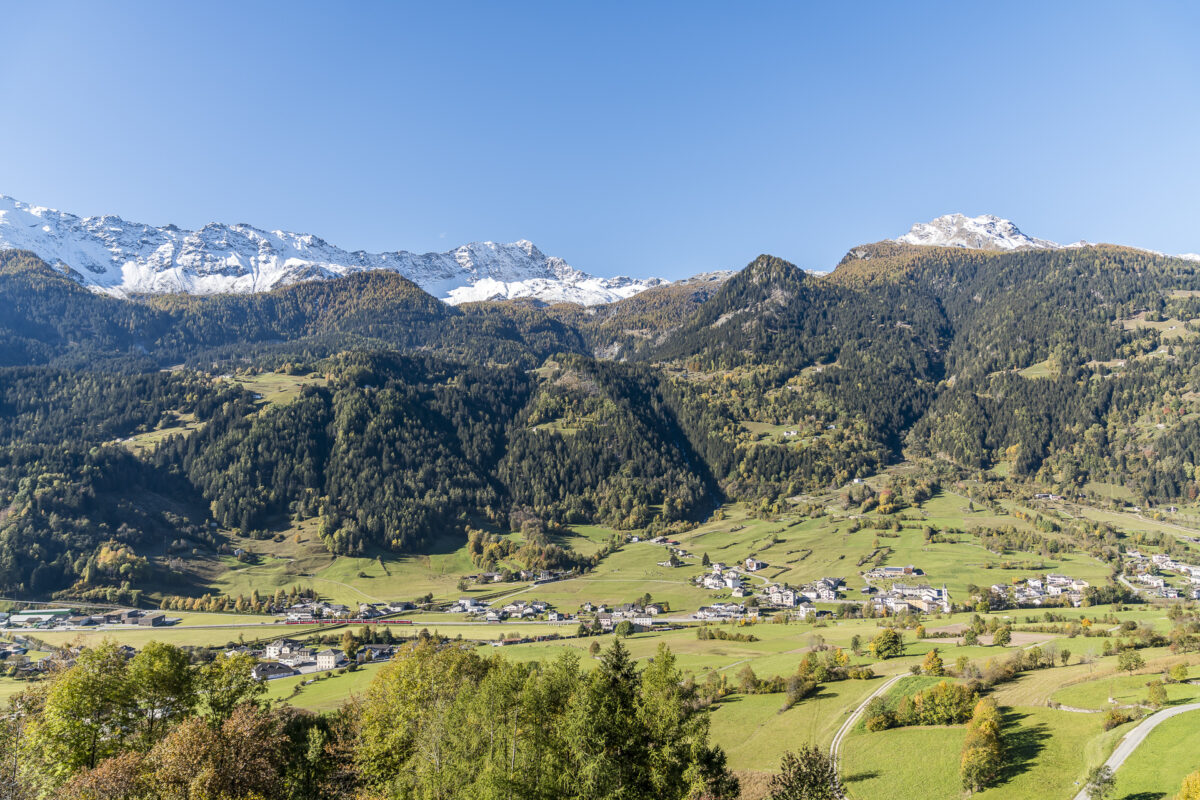
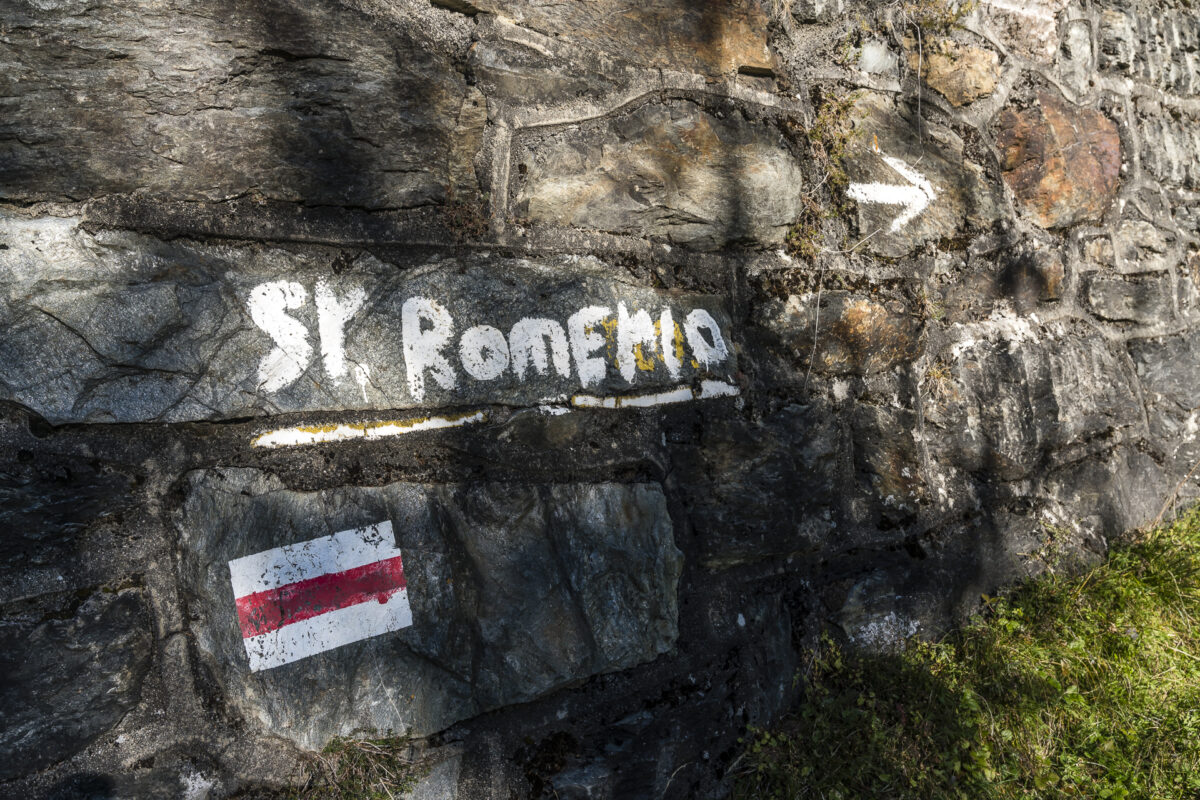
The ViaValtellina (route number 30) is a long-distance hiking trail that leads from Gargellen (Austria) to Tirano (Italy). The route follows old mule tracks between Vorarlberg and Valtellina in northern Italy. The route is divided into seven stages with a total of 135 distances. The last two stages lead from Alp Grüm via Poschiavo and San Romerio in a longitudinal direction through the Poschiavo to the finish in Valtellina – Tirano. This is an ideal route to experience all the diversity and cultural features of Graubünden’s southern valley along the way.
Day 1: from Poschiavo to San Romerio
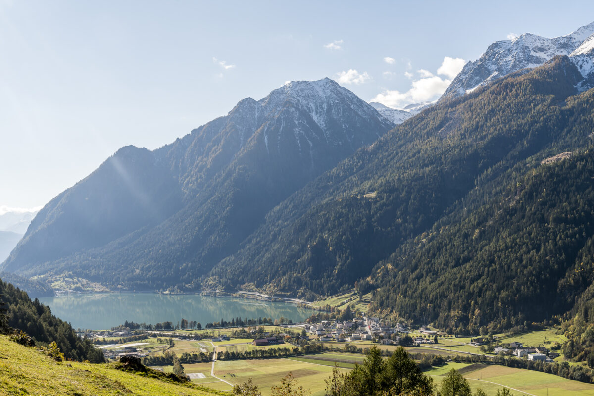
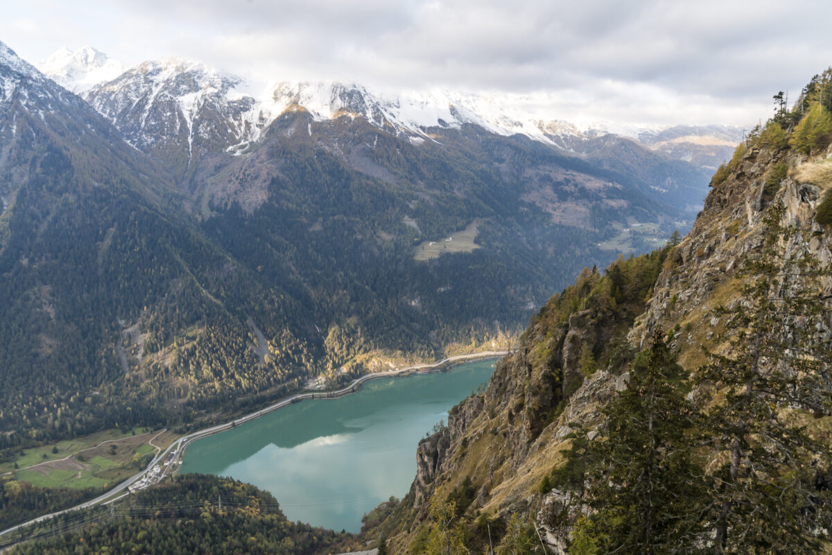
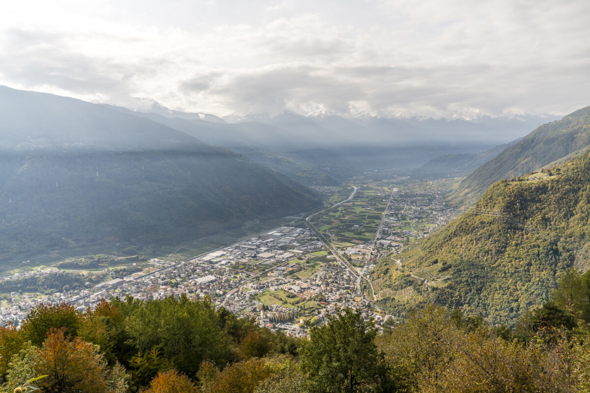
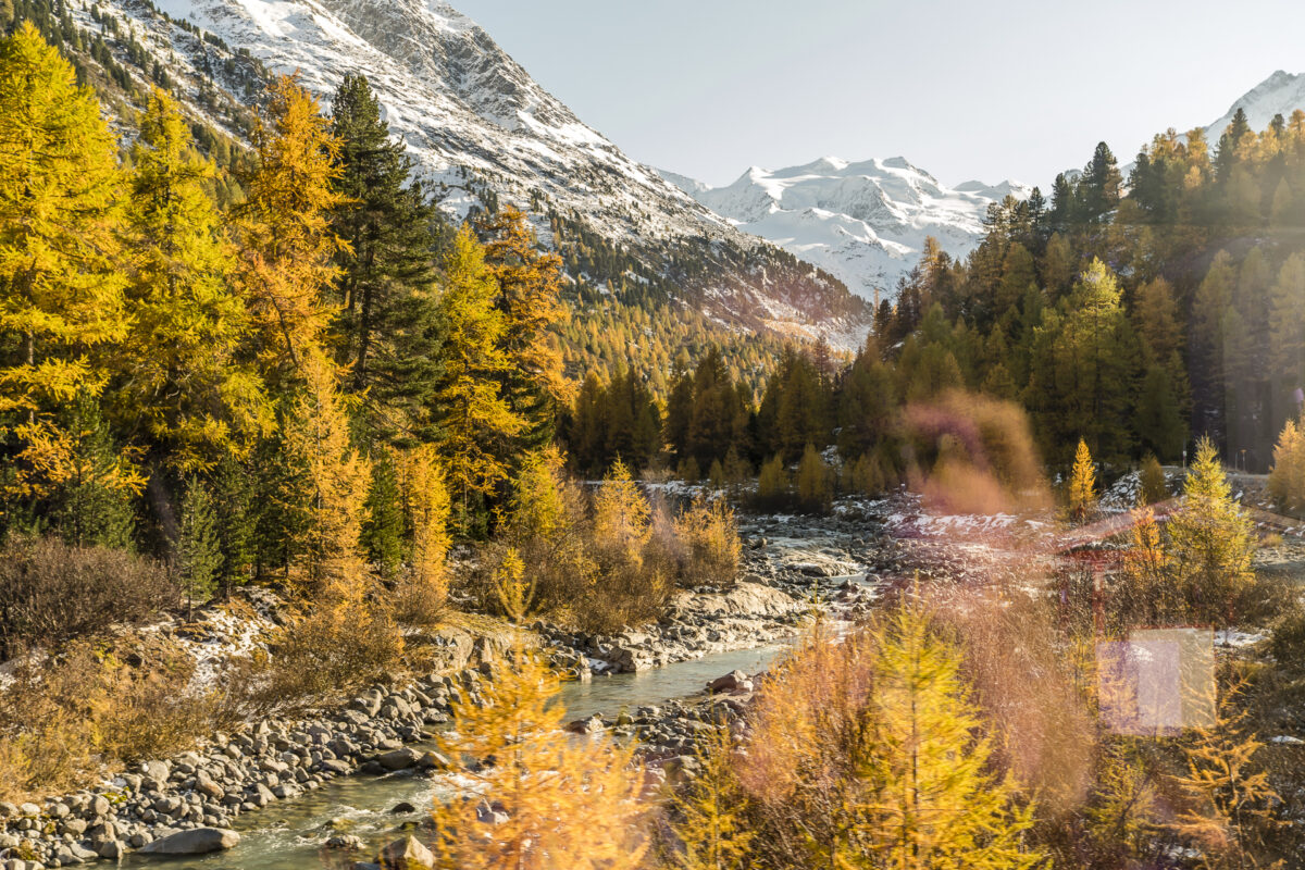
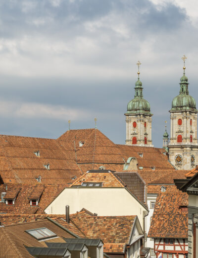
We don’t start the first day of hiking on Alp Grüm, but coming from Val da Camp down in the valley floor in the town of Poschiavo. We started early in the morning at the Rifugio di Saoseo. From there we hiked for an hour to the bus stop Sfazù and took the bus to Poschiavo. While the deeply incised valley floor of the Val Poschiavo gets fewer and fewer hours of sunshine as autumn progresses, there is one spot in the historic town centre that scores with sunshine even in the second half of October, just in time for the “coffee break”: the terrace of the Hotel Albrici on the Piazza Communale. And this is exactly where we treat ourselves to a “cappuccino e croissant” before the upcoming ascent to Alpe San Romerio and enjoy the warm rays of sunshine on our faces. Splendid!
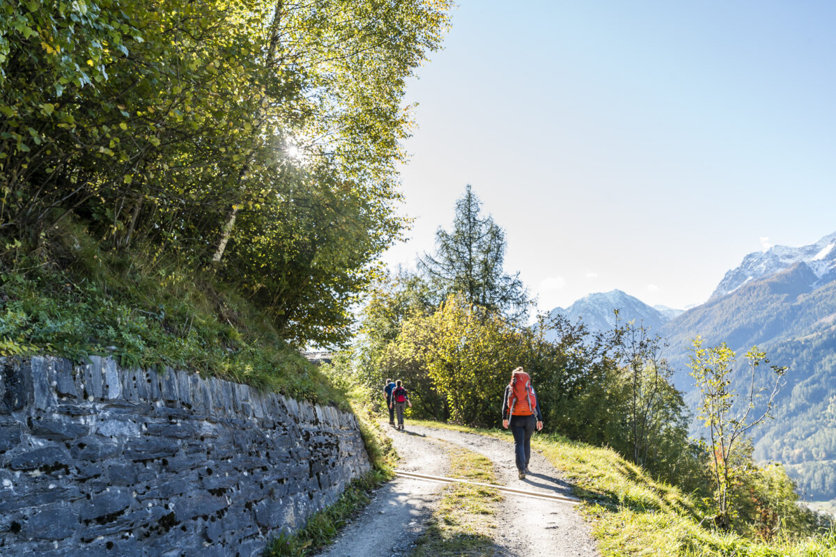
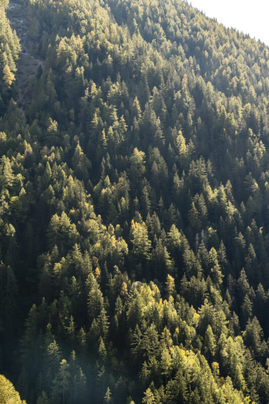
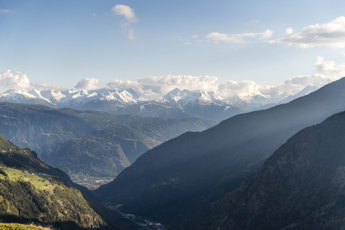
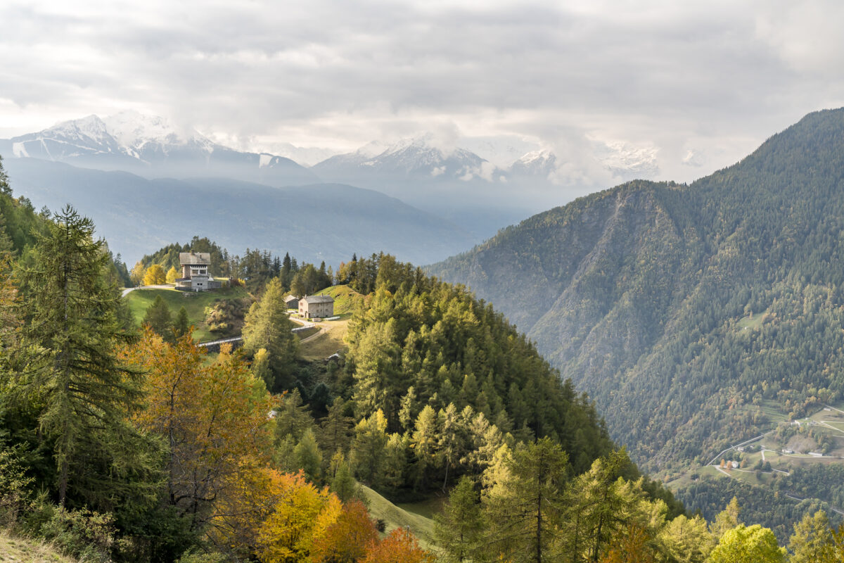
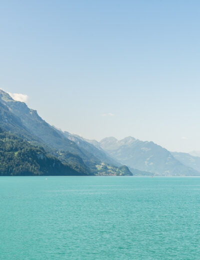
Then we follow the signposted ViaValtellina in a southerly direction. Up to the hamlet of “Cologna”, the path follows a tarred road, then branches off onto a nature trail and continues along the eastern flank of the valley further and further up the hills. Wooded sections alternate with open clearings and guarantee beautiful panoramic views over the valley floor to the peaks of the opposite side of the valley.
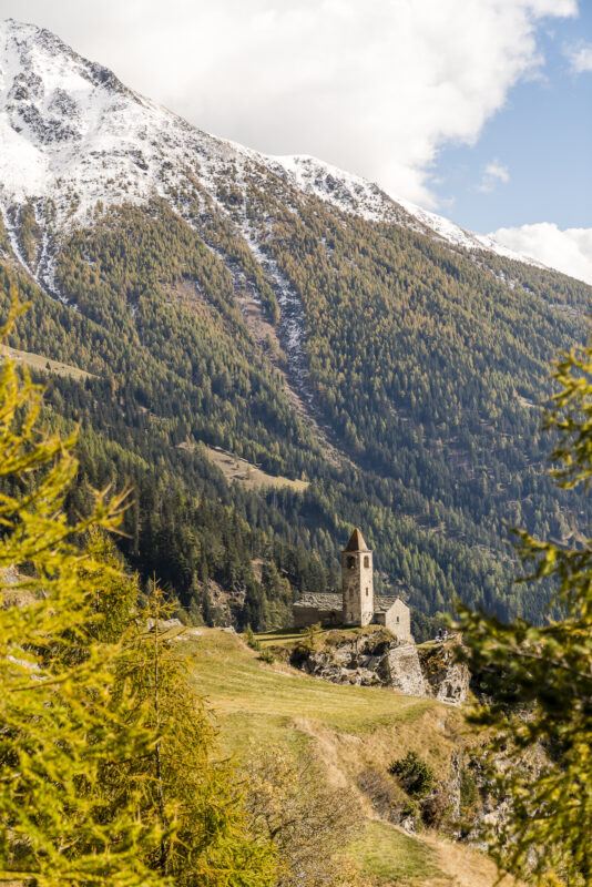
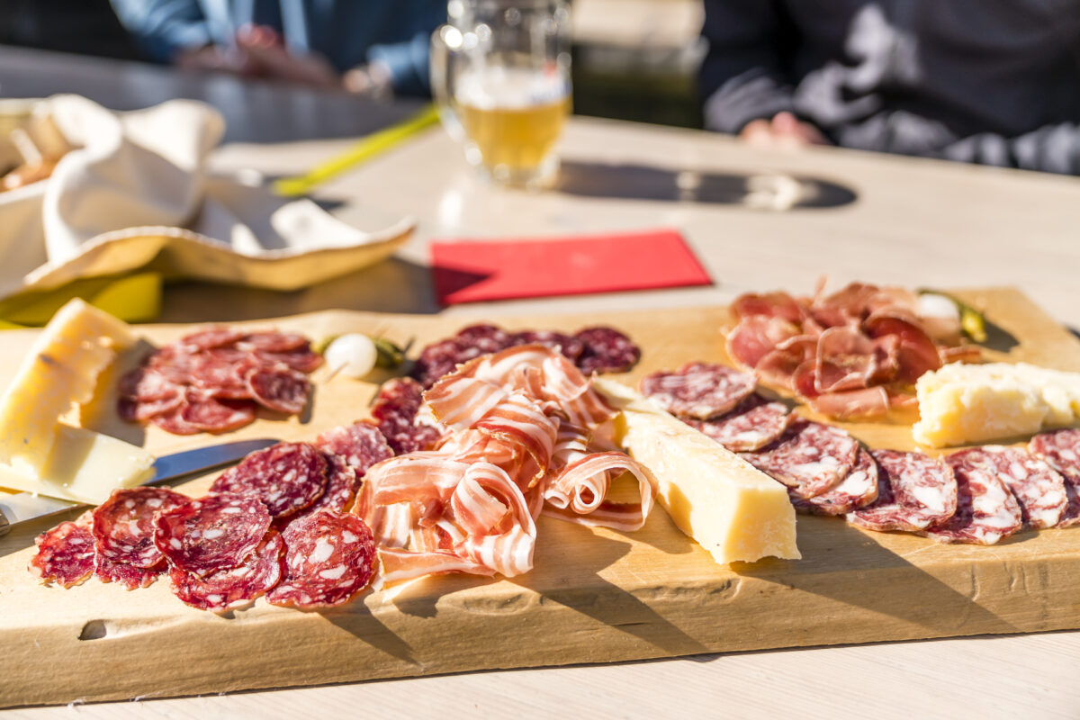
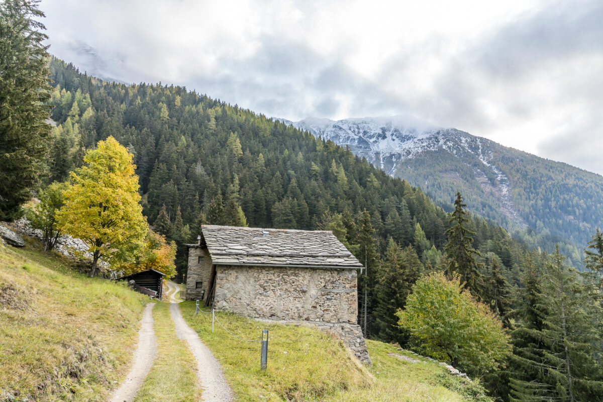
After almost four hours of walking, we catch our first glimpse of the picturesque church of San Romerio. The history of the church of San Romerio can be traced back to the early Middle Ages. The first documentary mention dates back to the year 1154 and it is also known that it served as a summer station for the clergy of Valtellina for a long time. However, this place of power steeped in history is not the only reason why San Romerio is a truly special place. Host Gino also contributes significantly to this with his warm manner. In his spirit, we enjoy the rest of the afternoon the fine food and the dolce farniente up here far away from any everyday worries.
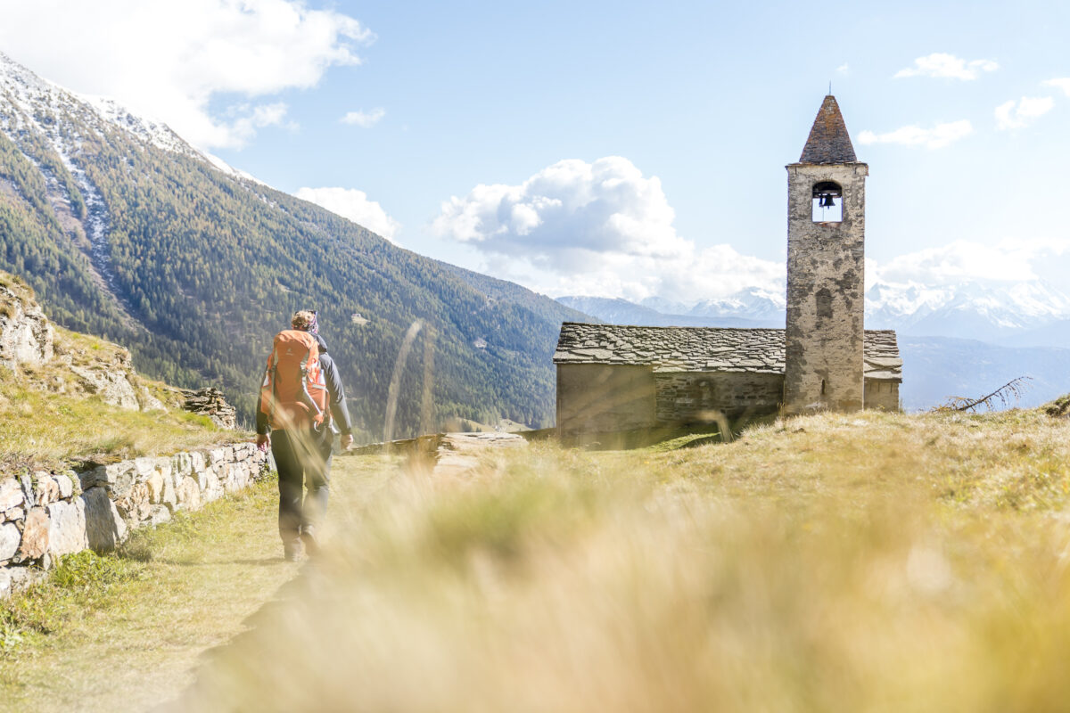
Day 2: from San Romerio to Tirano
Just in time with the first rays of sunshine of the day, we shoulder our backpacks again and tackle the remaining kilometers to Tirano. Between Alpe San Romerio and Viano, the ViaValtellina runs along tarred roads in sections. We want to avoid these as much as possible and therefore keep to the left at the first junctions and thus stay a little longer in the hills – but can also hike longer on forest and meadow paths. Alternatively, it would be possible to ascend directly from Alpe San Romerio in the direction of Predusin and thus undertake a panoramic “arc” to Salina. The disadvantage of this route variant is that there are significantly more meters of altitude to be mastered downhill afterwards (which is not particularly pleasing to sensitive knees).

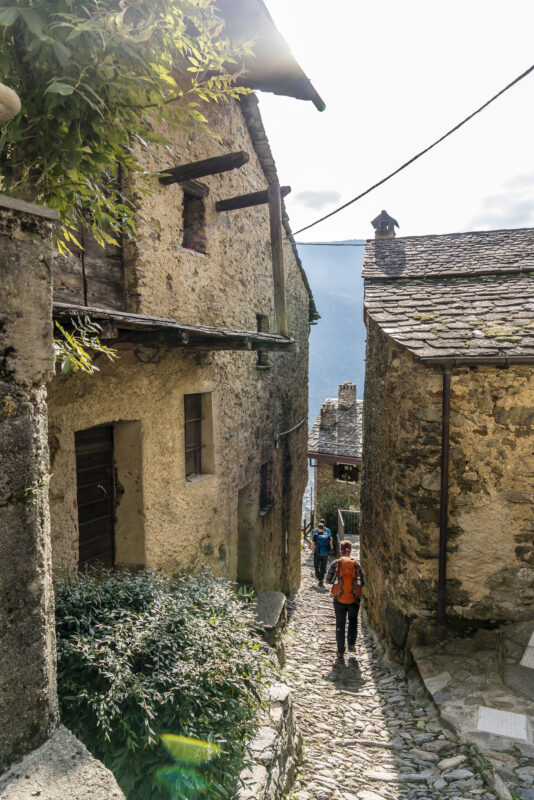
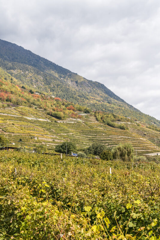
At la Dogana, all the trail variants come together again and lead from there through dense – and magnificently coloured in autumn – chestnut forests. After the hamlet of Roncaiola, the descent through vineyards begins in the middle of the historic center of Tirano.
Take the Bernina Express home
Our timing is so good that we arrive in Tirano in time for lunch. A suitable place for a refreshment before the journey home is quickly found: the Antica Osteria dell’Angelo. A little away from the actual main square in the center, around which the classic tourist restaurants are grouped, located in a beautiful courtyard, it scores with us both with the selection of local specialties and with the excellent pizza quality.
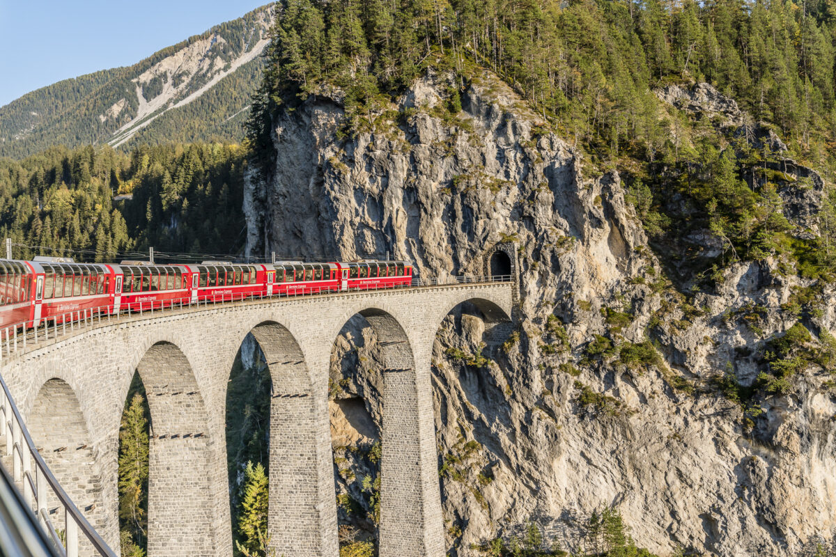
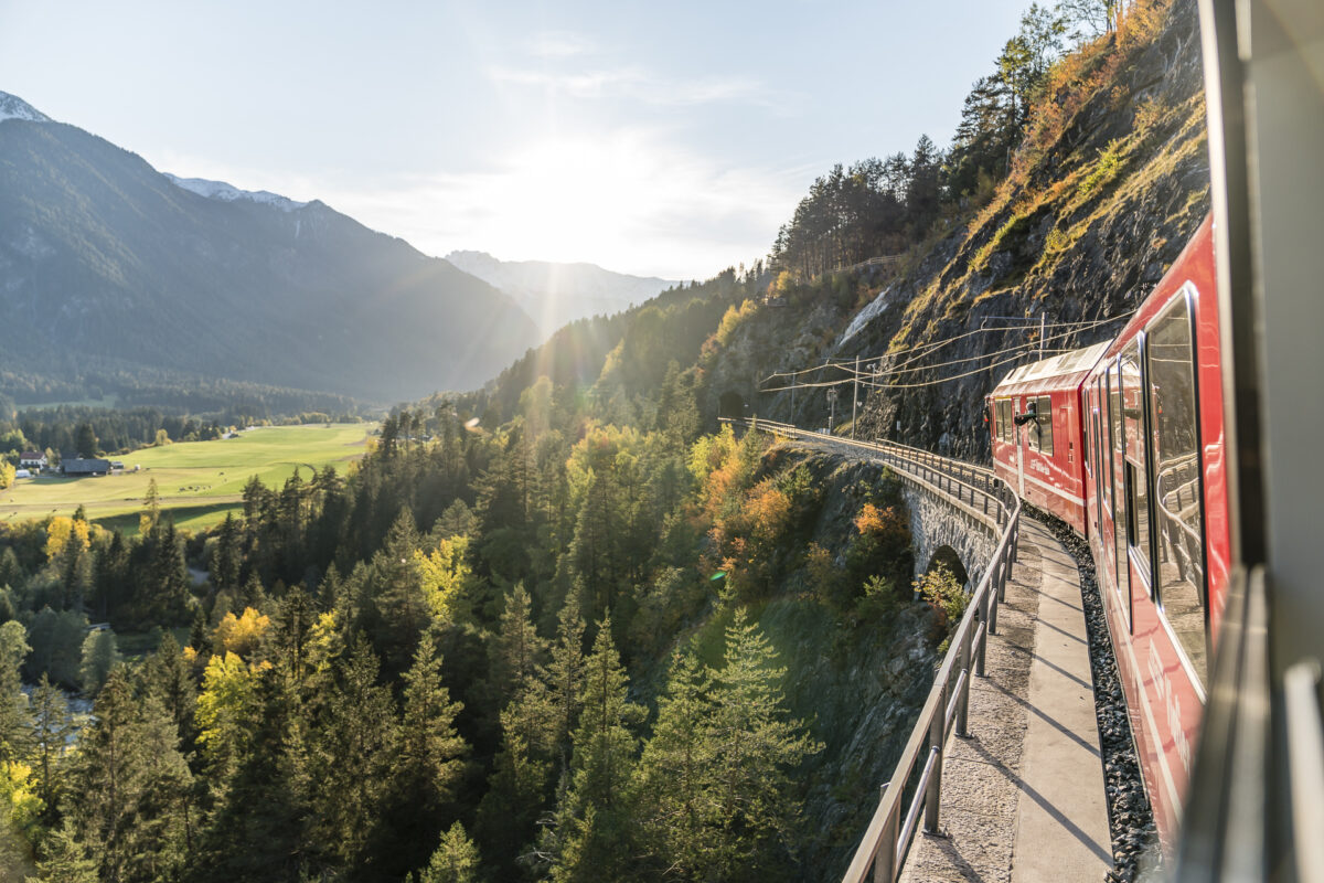
And in contrast to many other hiking destinations, Tirano is not simply the “end”, but another highlight awaits us. On the journey home with the Bernina Express over the Unesco World Heritage route of the Rhaetian Railway, we can once again enjoy the passing, dreamlike autumn scenery of the Puschlav and the Engadine in peace and quiet and, above all, extensively.
Practical tips for your multi-day hike on the ViaValtellina
The following map shows the route of our tour. We started the two-day hike in Poschiavo. From there, the trail climbs continuously to Val da Terman on the first day up to around 1,120 metres in altitude. The last 2 kilometers (out of the total of about 10 kilometers on the first day) to Alpe San Romerio are a bit more relaxed in a relaxed up and down. On the second day of hiking, 1,500 metres of altitude have to be overcome downhill. However, these are spread over 11 kilometers and are accordingly quite bearable. The last section down to Tirano is the steepest part. It is a T2 difficulty trail throughout. Since there are a few meters of altitude to master, a certain basic level of fitness/stamina is recommended. Please note that there are no places to stop for refreshments along the way (with the exception of Alpe San Romerio, where day visitors are of course also welcome and are served with fine local products).
The Rifugio Alpe San Romerio is in season from the beginning of May to the end of October (closed in winter). There is a dormitory as well as double and multi-bed rooms with shared shower/WC. Yoga retreats are also held on Alpe San Romerio. For current offers and price information, please consult the website: San Romerio
Key data of the tour Poschiavo – San Romerio – Tirano
| Starting point | Bus stop Poschiavo, Curtinell (or train station) |
| Length | 23 kilometers |
| Elevation gain | ↗ 1,220 m 1,800 m ↘ |
| Duration | 8:15 h (divided into 2 days) |
| Destination | Tirano Railway Station (IT) |
Leave a Reply