

From Werdenberg to Sargans – on the castle path through the Rhine Valley
Palaces, castles, fortresses and lots of panoramic views over the St. Gallen Rhine Valley – the castle trail between the town of Werdenberg near Buchs and Sargans scores with variety and with an altitude that guarantees hiking fun almost all year round. We have scouted out the brisk long-distance hike on a beautiful November day and can say: A route that is suitable for both pleasure hikers and trail runners in the low season.
You want to skip my impressions of the tour and study the practical information as well as the hiking map directly – then click here: to the practical tips
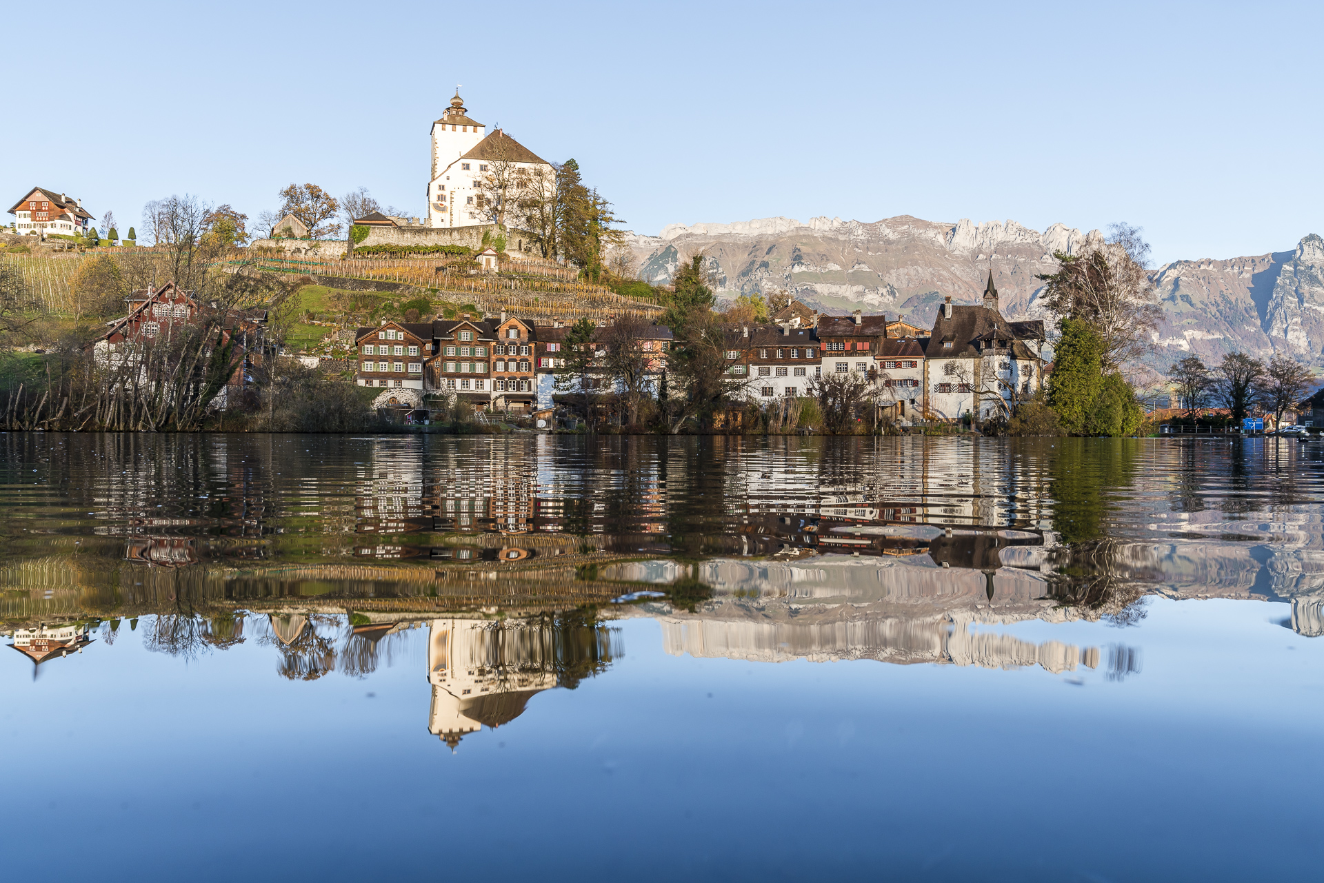
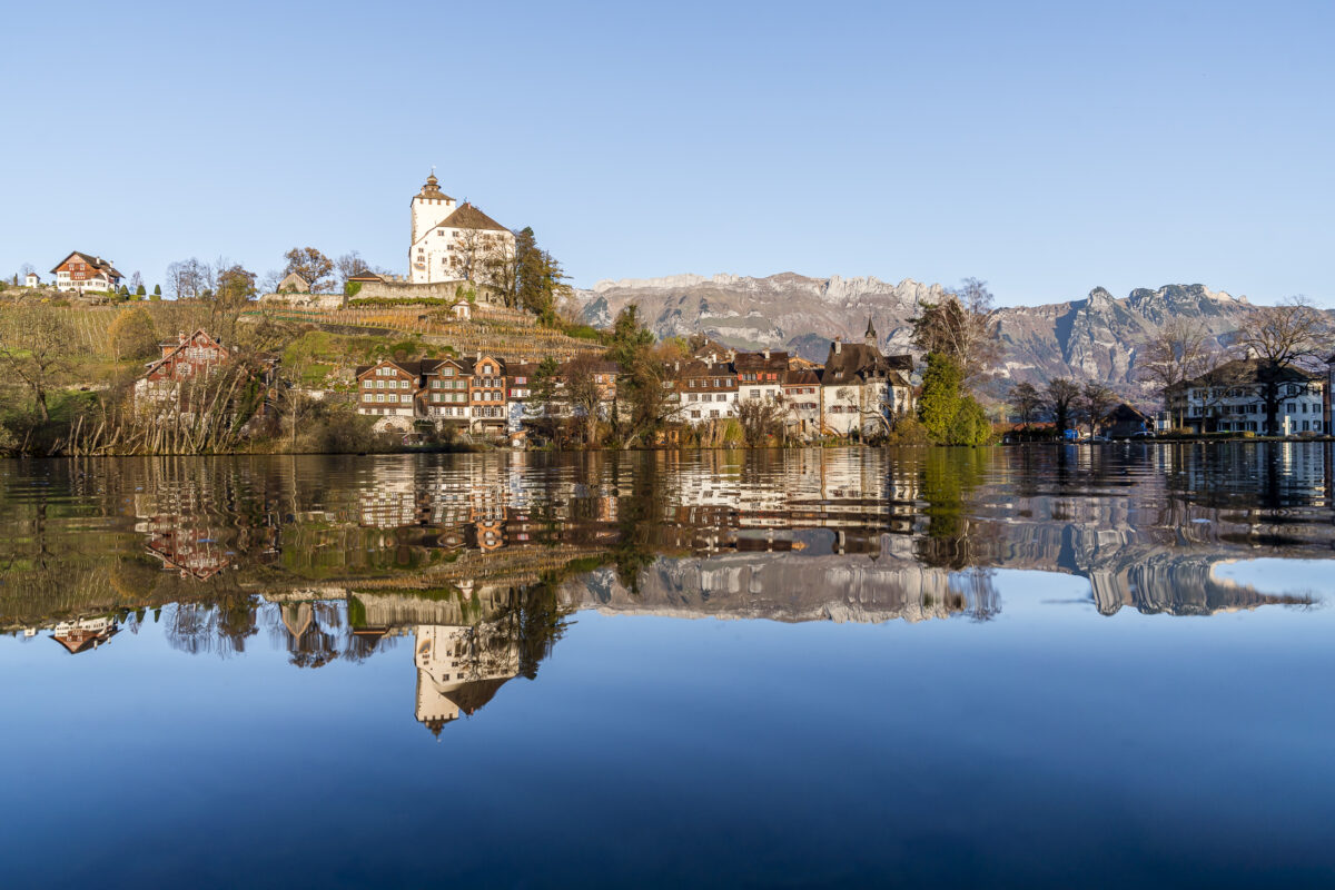
Morning idyll in Switzerland’s smallest town
The starting point of the 18-kilometre-long castle trail is Werdenberg. The town, which is listed in the Federal Inventory of Sites Worthy of Protection, now belongs to the municipality of Grabs. The idyllic Werdenbergsee, on the other hand, is located on the territory of the municipality of Buchs. This political division of the ensemble was carried out at the beginning of the 19th century in connection with the founding of the Canton of St. Gallen. What was probably a typical Swiss compromise at the time seems to be a kind of “paper solution” to this day. On this early autumn morning, Werdenberg presents itself as sublime as ever with its castle, neat wooden houses and mirror-smooth lake.
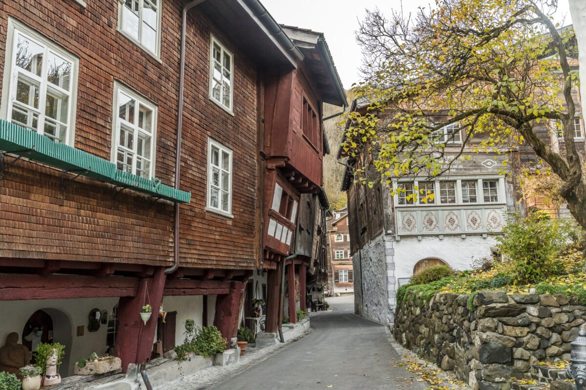
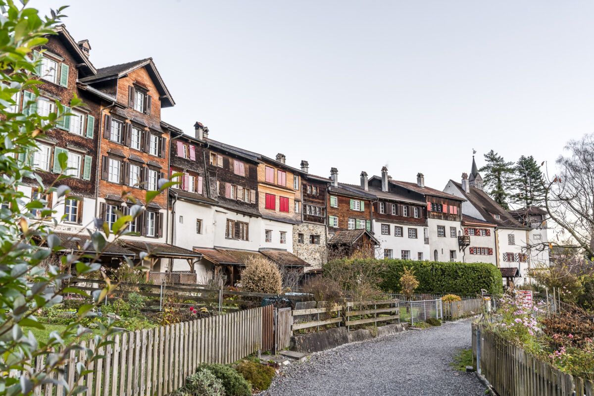
While the castle museum is on winter break from the beginning of November to the end of March, we do not miss a short stroll through the well-preserved centre of Werdenberg. Not all of the almost 40 houses at the foot of Werdenberg Castle are still used for permanent living. Some are used as holiday homes, others house small craft shops, restaurants or cultural institutions (including the Werdenberg Museum, which is dedicated to local history) and so Werdenberg prides itself on being the “smallest town in Switzerland”.
If you start the hike in Werdenberg like we did and tackle the castle path towards Sargans with the pretty town behind you, you should pause for a moment in front of the mini-golf course on the opposite shore of the lake and capture the “postcard view” of Werdenberg. Admittedly, I could well imagine moving permanently into one of these pretty wooden houses.
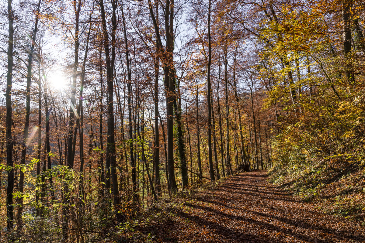
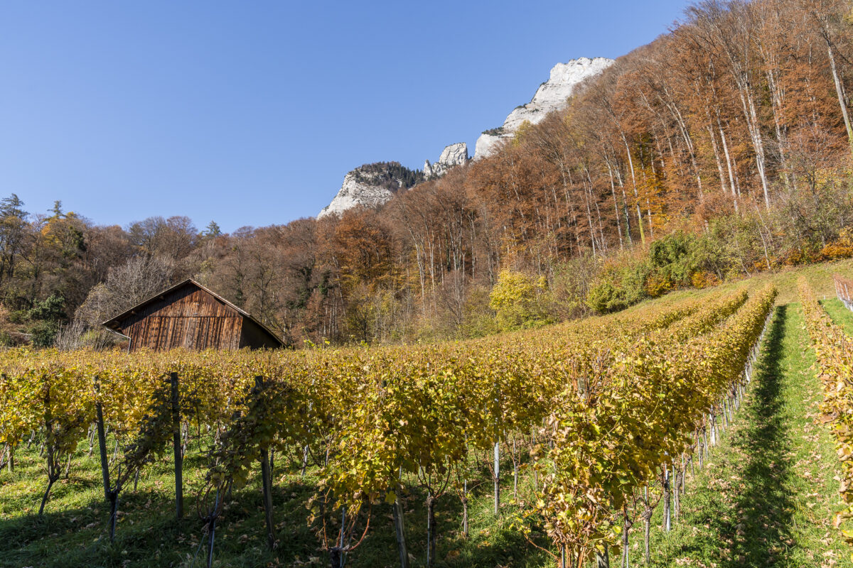
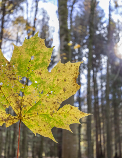
On the castle trail through colourful autumn forests
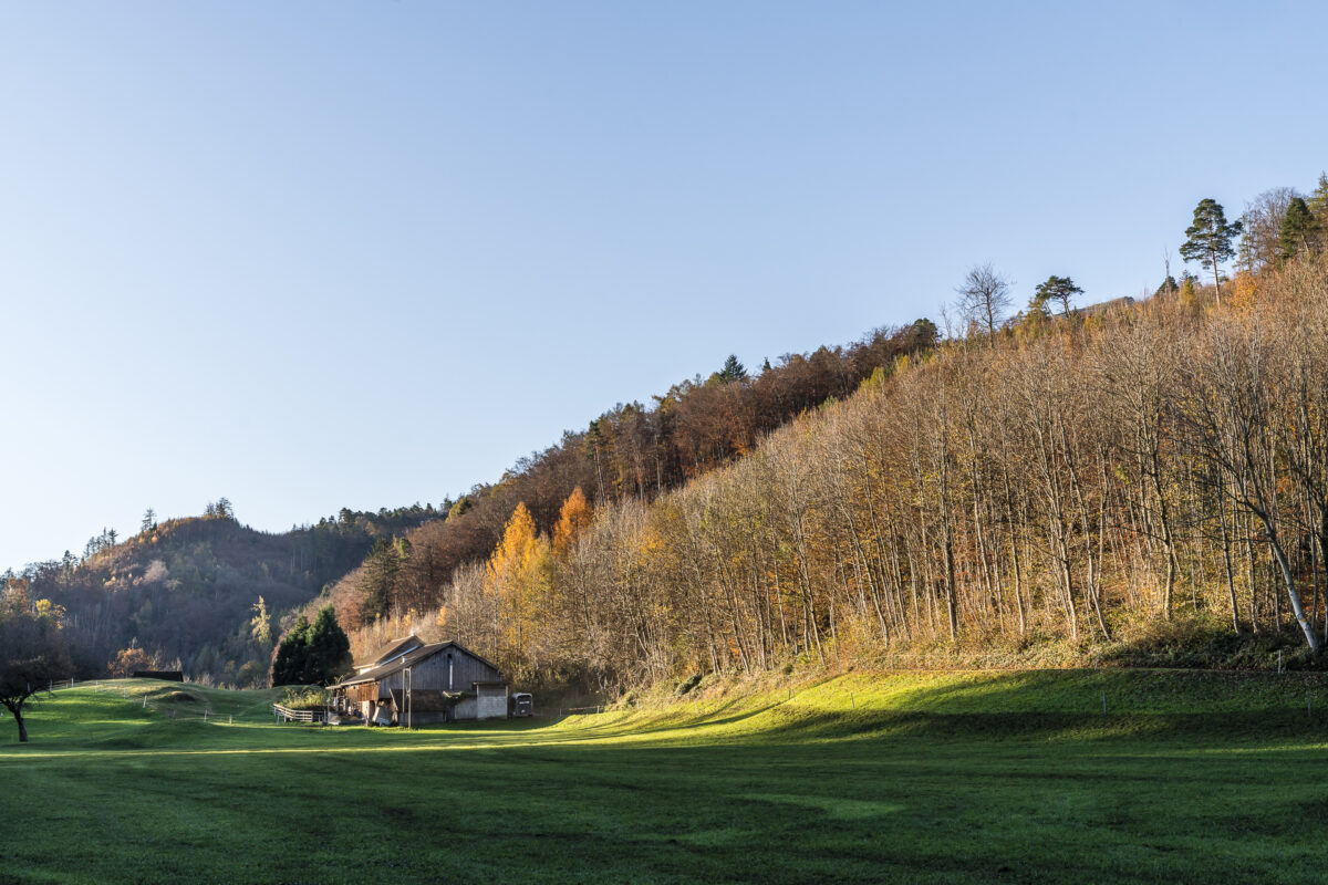
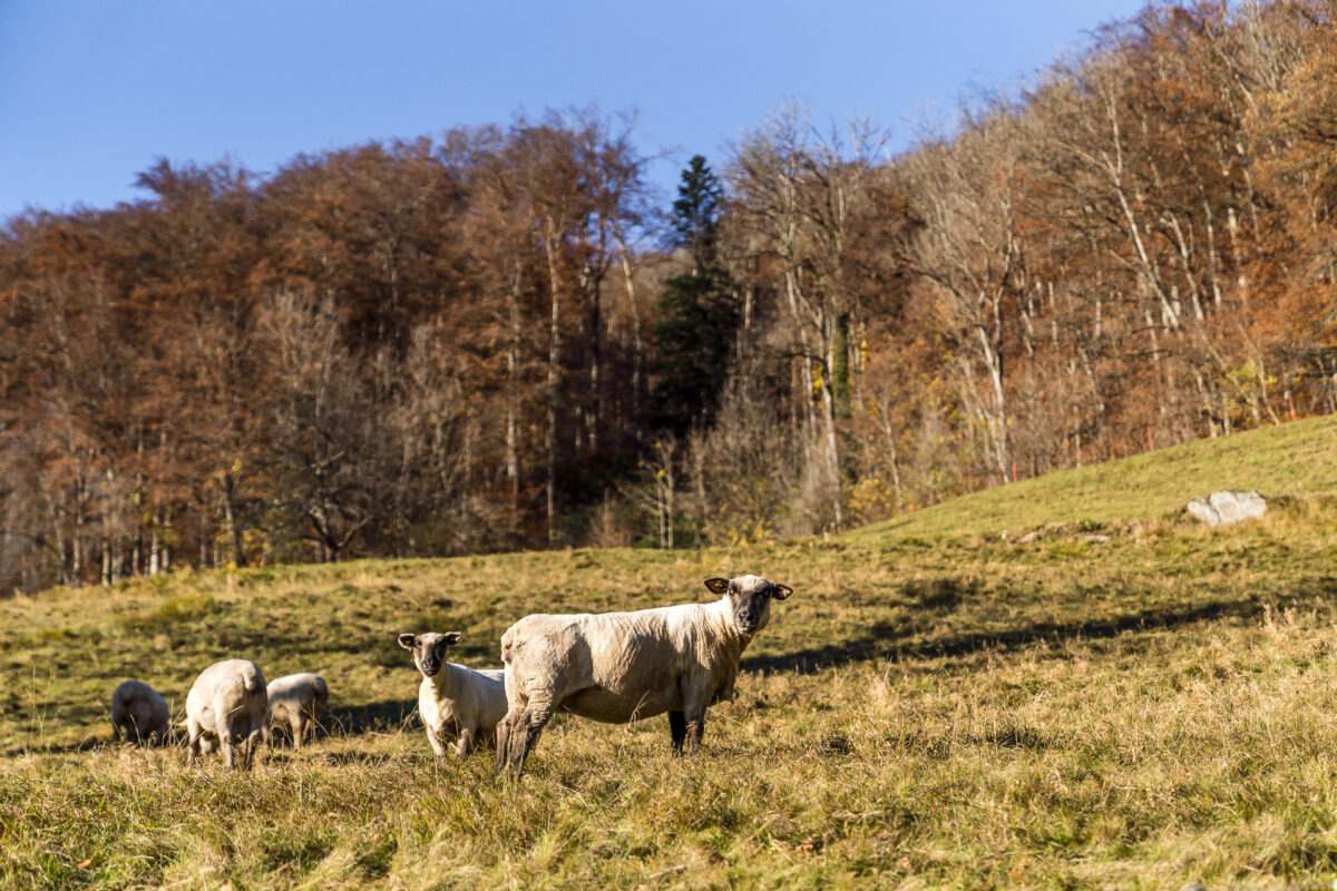
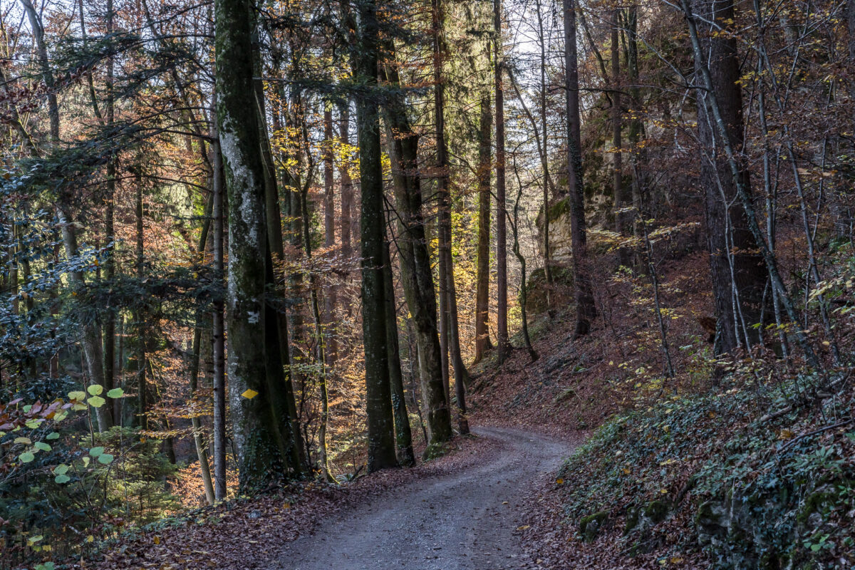
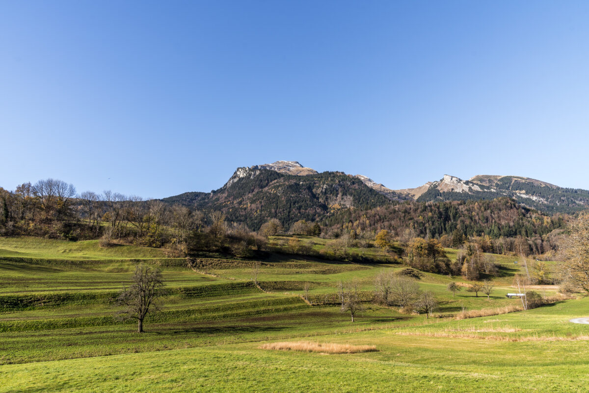
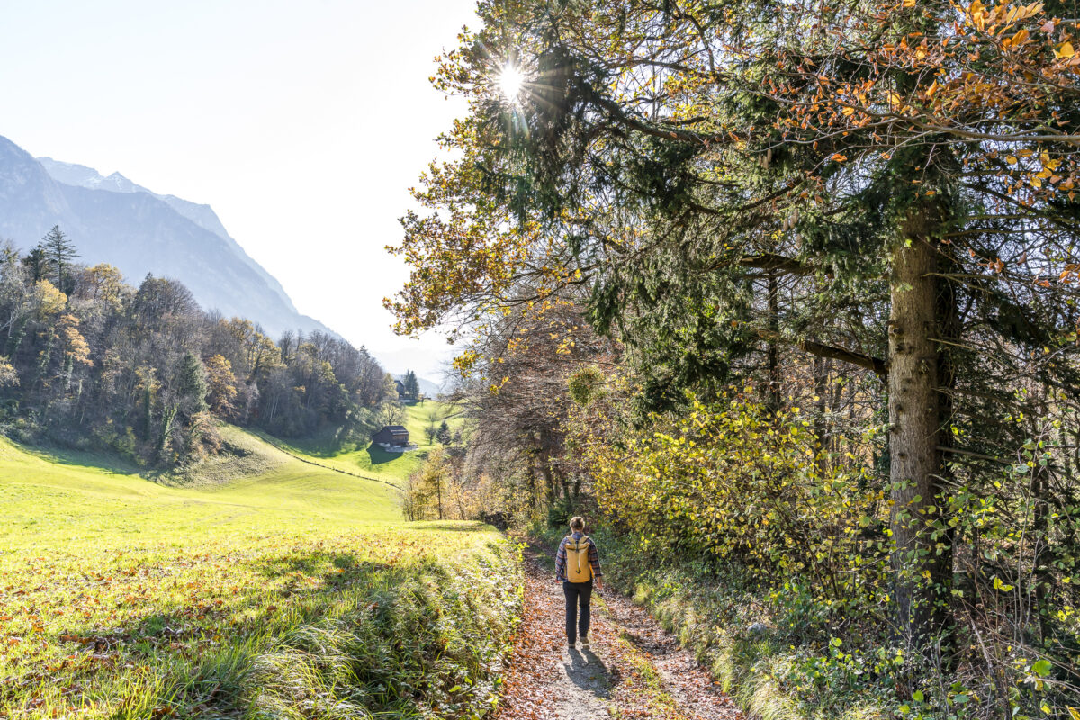
From Werdenberg, the well-signposted Schlossweg leads up into the wooded western flanks of the St. Gallen Rhine Valley. On the following kilometers to Azmoos expect and a varied ups and downs. Sometimes we are guided on narrow nature trails over extensive pastures, sometimes we follow wide gravel paths through brightly colored autumn forests. We hardly meet any two-legged companions on the way. But lots of sheep, goats and – to our surprise – deer.
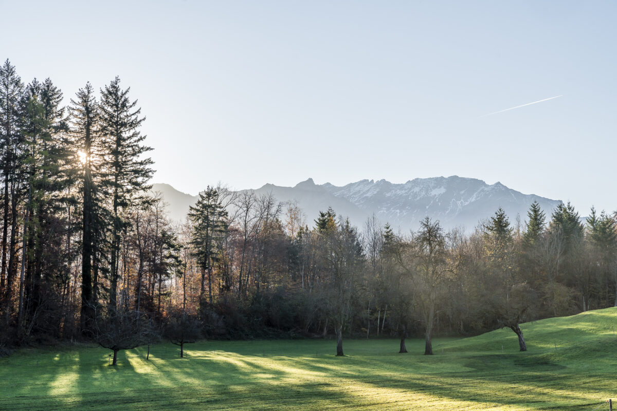
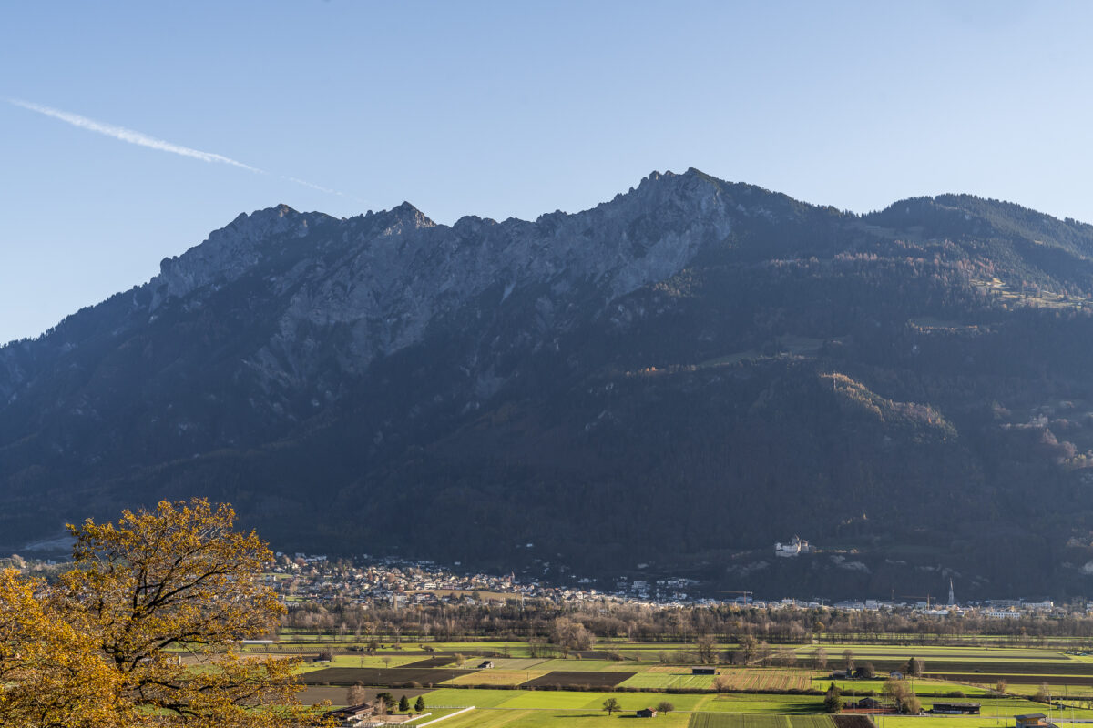
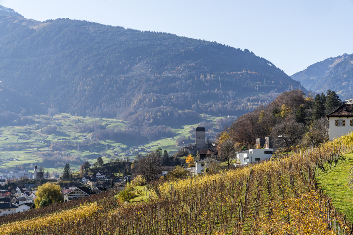
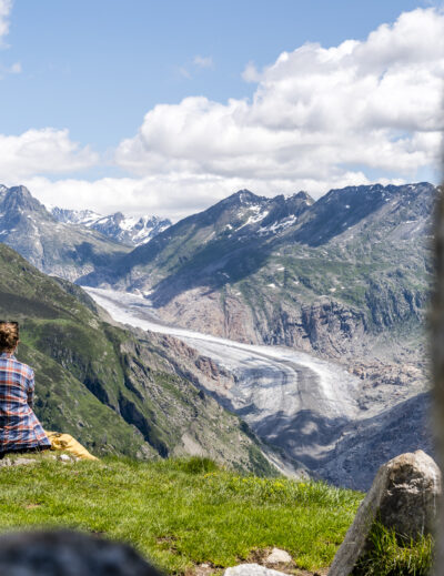
Here and there we are rewarded with beautiful views over the St. Gallen Rhine Valley to Liechtenstein and at Valschnärä, the hiking backpack can be filled with alpine cheese and salsiz directly from the farm. The “Hoflädeli” (which consists only of a refrigerator) also offers thirsty hikers a chilled refreshment as well as a refreshment in the form of caffeine (yes, there is indeed an outdoor self-service coffee machine waiting for you there).
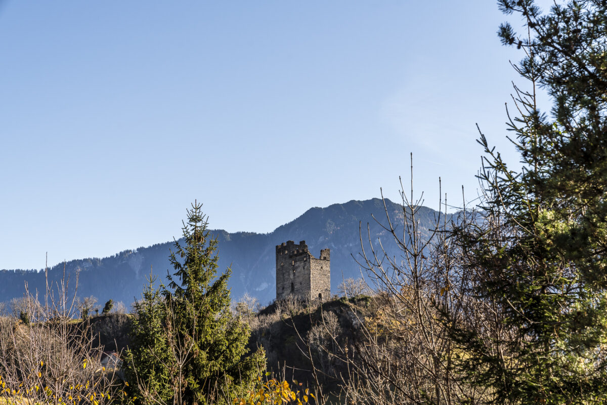
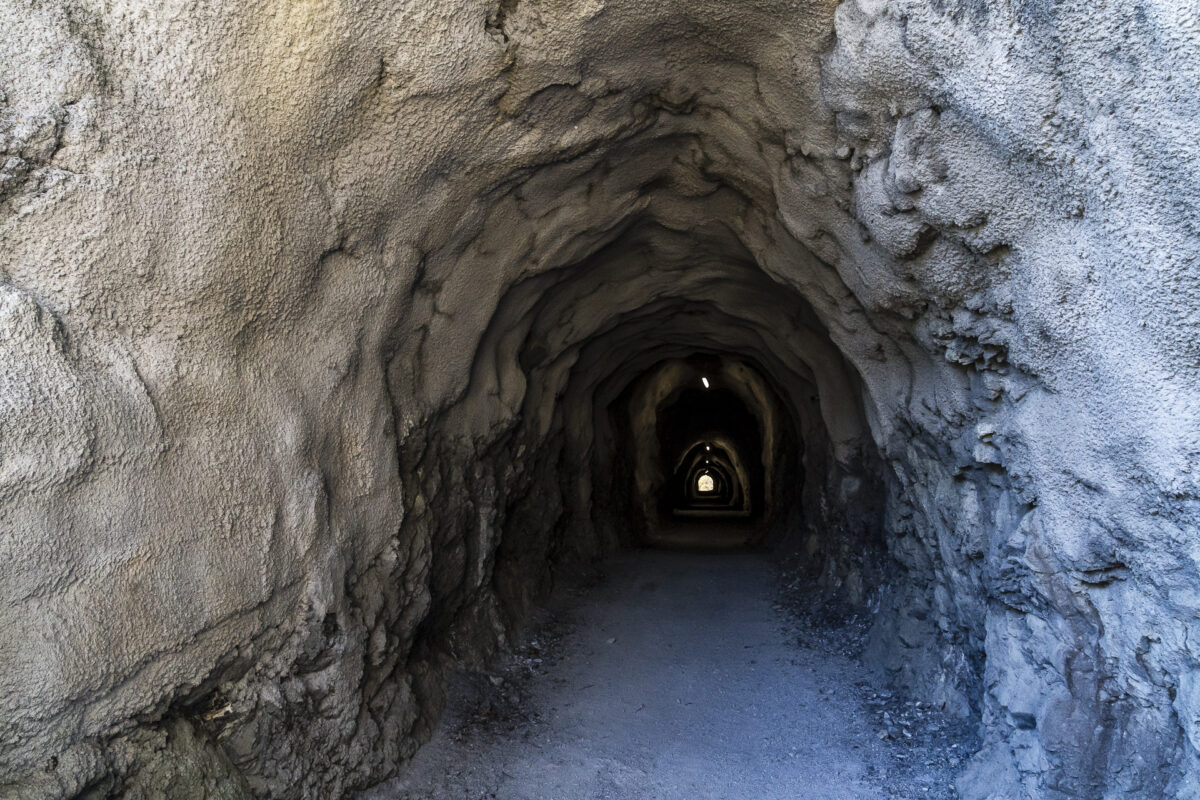
The farm shop is followed by the Magletsch artillery fort – an underground defence fort of which there is little to see from the hiking trail apart from two inconspicuous “sheds”. Shortly afterwards, the much more imposing Wartau castle ruins follow. From here, the Schlossweg now runs along the same paths as the first stage of the Via Alpina (even if, according to SwitzerlandMobility, this still makes a strange detour that is not so signposted on site).
… and via historical paths to Sargans
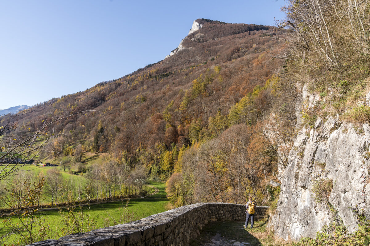
After this varied route, we can cope with the fact that the hiking trail between Gretschins and Azmoos runs mostly on asphalt roads. On the other hand, it will be really exciting again after Azmoos. An information board shows that we are now walking along the Alte Schollbergstrasse. The Schollbergstrasse was built at the end of the 15th century by a Tyrolean master builder on behalf of the Swiss Confederation and is considered the “forerunner” of the first cantonal road, which was built three centuries later (1822).
We walk around the Schollberg on the historic route of the former connecting road through the Rhine Valley. From the hiking trail, we catch a glimpse of the climbing garden, where on this beautiful late autumn day, some daring climbers are already taking on the vertical challenge.
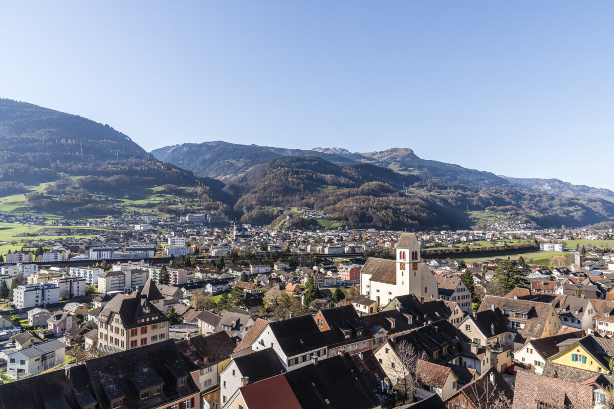
Our goal is now within reach. Passing beautiful autumnal vineyards, we follow the path directly to Sargans Castle. Of course, at the end of the tour, we don’t miss the view into the interior of the castle walls. While the museum closes for 1.5 hours at noon, the inner courtyard with the viewing terraces remains open to the public.
Practical tips for your hike on the Schlossweg
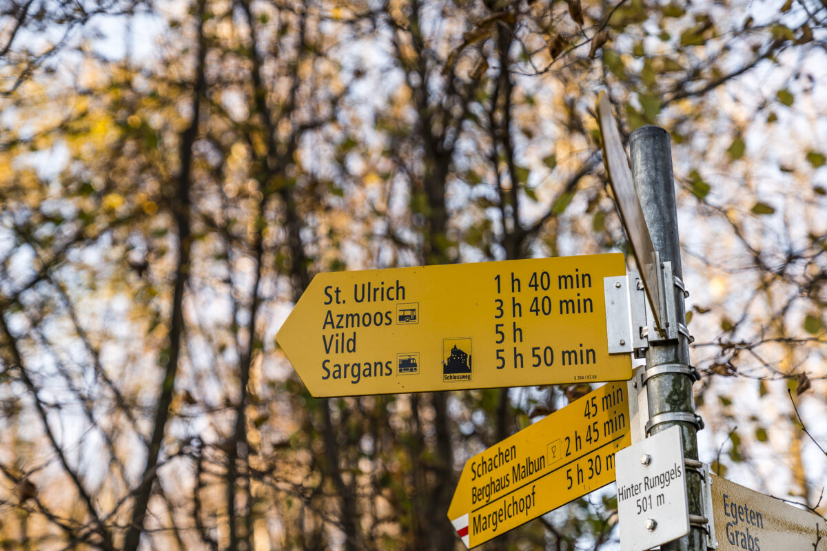
The route of our hike from Werdenberg along the Schlossweg to Sargans, 18 kilometres away, can be found on the following map. The trail is well signposted and runs continuously on yellow-marked hiking trails (T1 – no sloping sections). Since some sections run along nature trails and there are stairs to overcome, it is not suitable for strollers. If the distance between the two castles is too far for you, you can also break off the hike in Gretschins or Azmoos.
If you would like to combine the hike with a visit to Werdenberg Castle (from April to October) and Sargans Castle (all year round), it is best to consult the current opening hours on the linked websites in advance.
By the way, it is not far from Sargans to Bad Ragaz – what you can experience there can be found in this blog post: Wellness, fine dining & being outdoors – beautiful places around Bad Ragaz
Key data of the tour: Werdenberg Castle – Sargans Castle
| Starting point | Bus stop Buchs SG, Werdenberg |
| Length | 18.4 kilometres |
| Elevation gain | ↗ 633 m 602 m ↘ |
| Duration | 5:00 p.m. |
| Destination | Sargans Railway Station |
Leave a Reply