

Schnebelhorn – Great Hike to Zurich’s Highest Peak
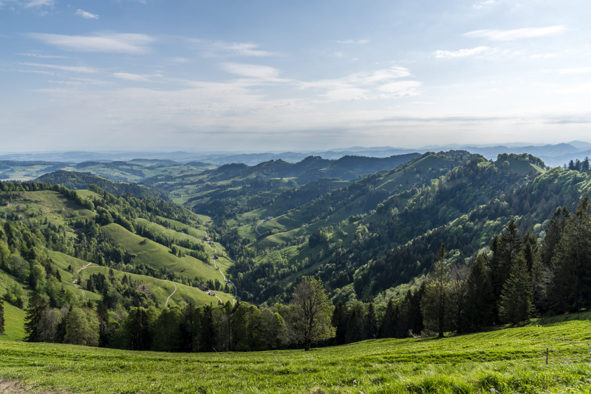
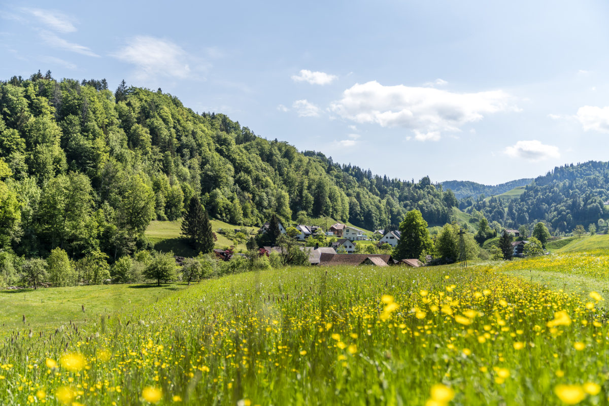
The hike to Schnebelhorn—the highest peak in the canton of Zurich—has been on my list for a long time, but I never managed to do it. Once the weather didn’t hold up, another time a different tour took precedence. So a few days ago, I thought, “if not now, when?” Having limited my movements to the Zurich city area lately, it now seemed like the right time to slowly and cautiously consider regional hiking trips. Thus, we took advantage of a splendid May morning for a hike through the hilly landscapes of the Tösstal up to the “highest point in Zurich.” Along the way, I couldn’t help but exclaim, “Wow, this is beautiful!” Spring suits the Tösstal incredibly well.
From Steg to the “highest peak in Zurich”
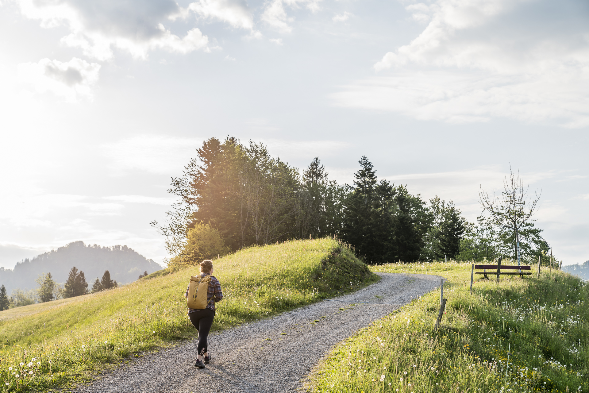
Thanks to a dense network of hiking trails and some exciting peaks – including the Hörnli at 1,133 metres above sea level, which bears the title of Most Beautiful Panoramic Mountain in the Canton of Zurich”, and the Schnebelhorn, which boasts the highest box seat in the canton at 1,292 metres above sea level. The Töss Valley offers a wide range of hiking options. To avoid a possible “rush” as much as possible, we started the hike early in the morning. Nothing unusual for me – as you know from other tours described here on the blog, I always set off as early as possible. And so we start the hike to the Schnebelhorn, even before the first rays of sunshine shine over the hills into the narrow Töss Valley.
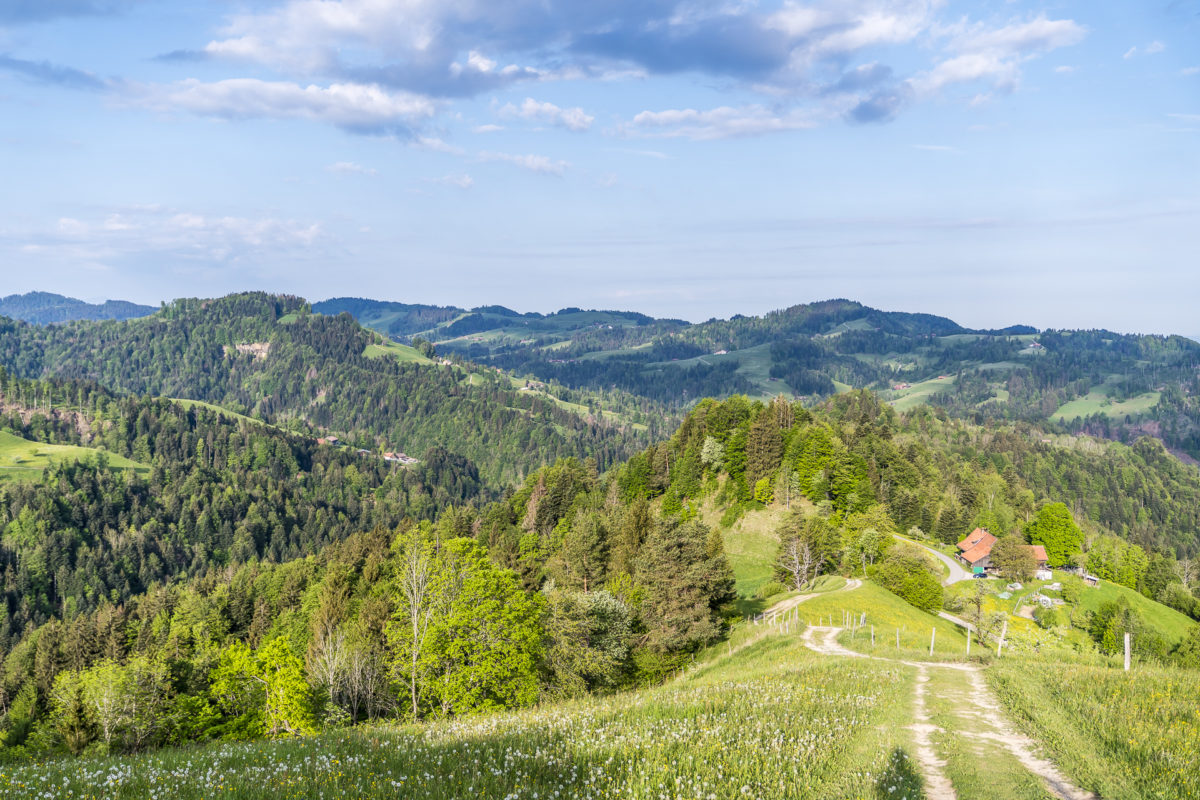
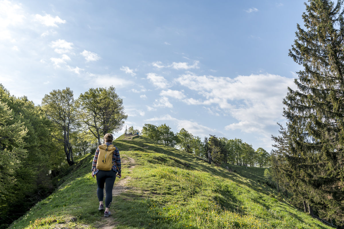
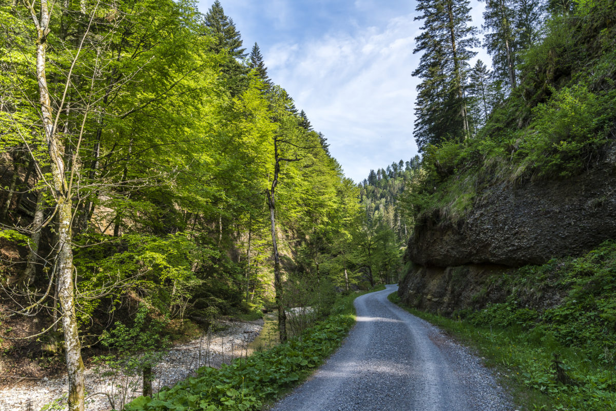
After a first short, steep section of forest, we reach the lovely clearings of the “Chatzenböl” mountain range. The attractive thing about this route is that you are surrounded by a magnificent panorama relatively quickly. And who doesn’t love this magnificent backdrop?
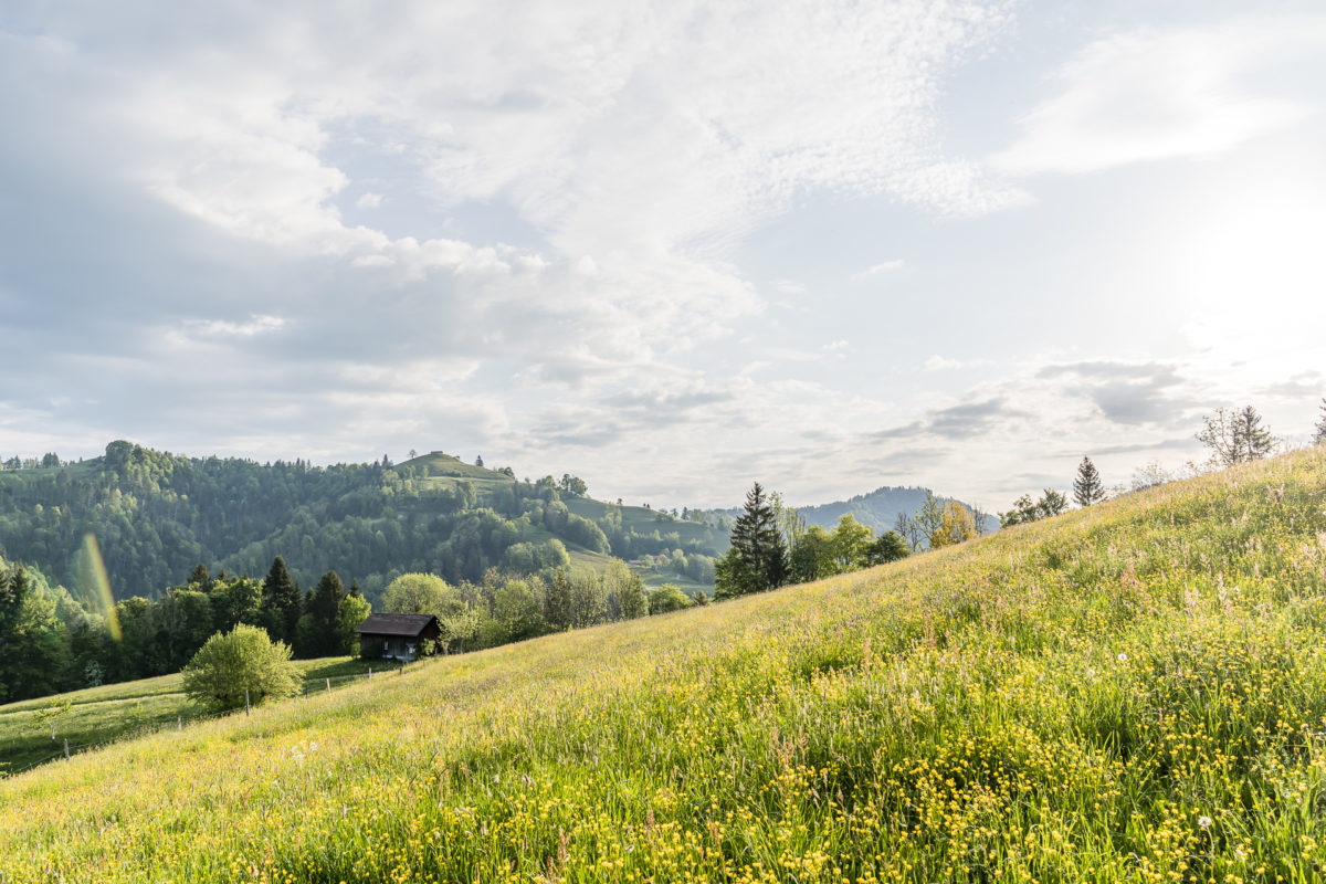
Between Vorderegg and Rütiwis, the hiking trail climbs only moderately. This allows you some time to catch your breath after the heavy start. After Rütiwis, there is another short, very steep section up towards the “Roten”. Instead of reaching the summit, you pass the steep northwest flank in the direction of Hirzegg. This part is signposted with “Attention narrow path” and there is an alternative (also signposted) for all those who prefer to avoid narrow, sloping paths. Personally, the section of the trail seemed relatively harmless to me – it is wooded throughout and there are no directly steeply sloping places. Nevertheless, if you feel insecure, then it is better to take the slight detour here. Once the narrow rock ledge “Rotengübel” has been overcome, you reach the attractive ridge path that leads directly to the Schnebelhorn via the Hirzegg.

Over the Schnebelhorn to the Tössscheidi
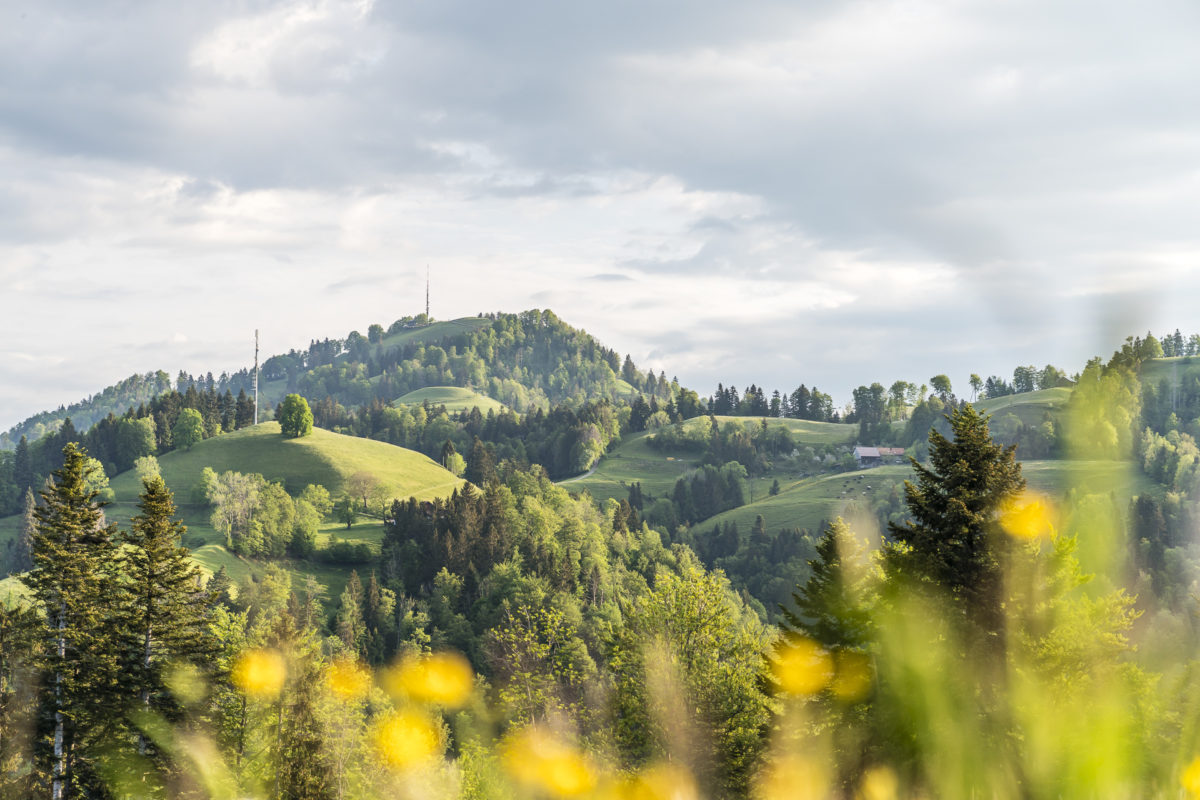
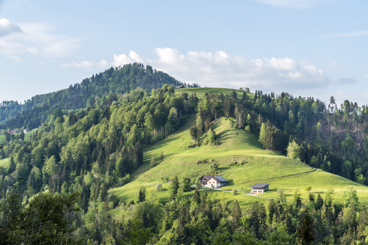
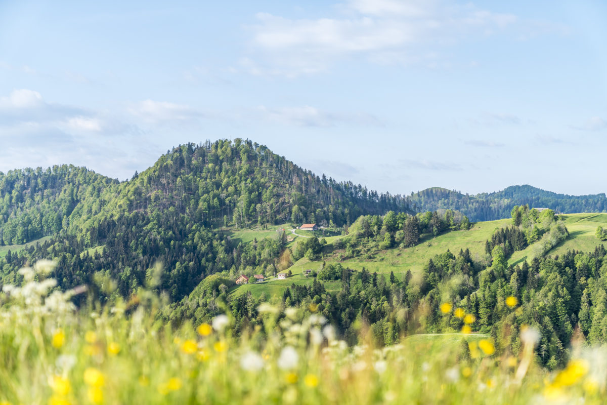
The Schnebelhorn is located on the cantonal border of Zurich and St. Gallen, with the summit being on the Zurich side (at least according to current state surveys). The panoramic view extends from the hills of the Zurich Oberland and the Toggenburg to the distant Glarus Alps and the Albis. Thanks to an early start, we reach the summit before 9 a.m. — but we are not the first. And since a small group is already resting around the summit cross, we decide to continue hiking at a brisk pace – in the spirit of “physical distancing”.
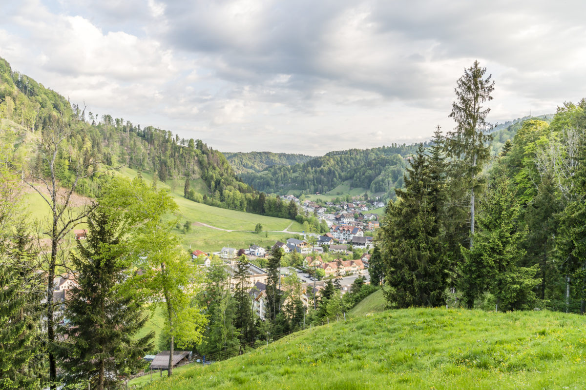
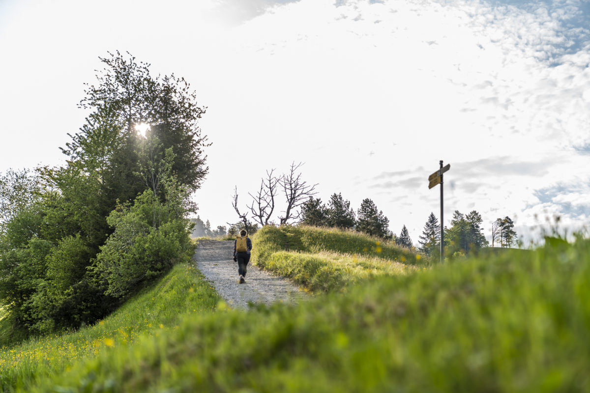
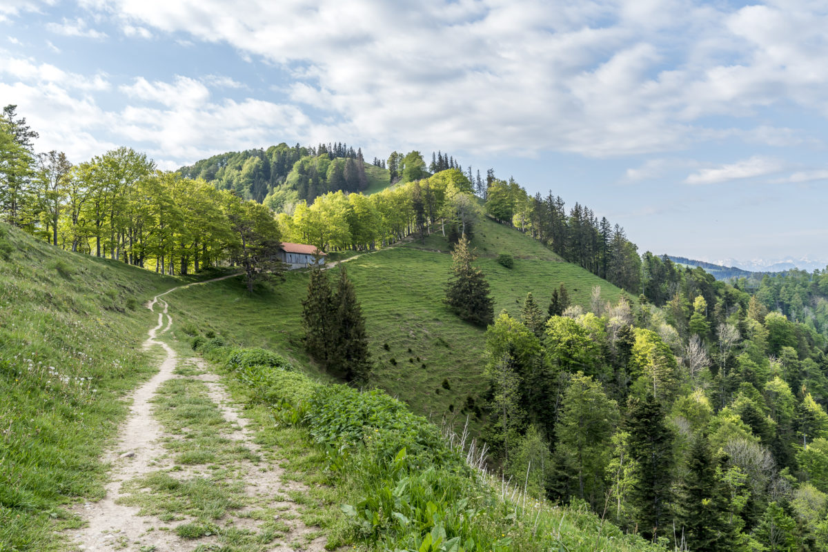
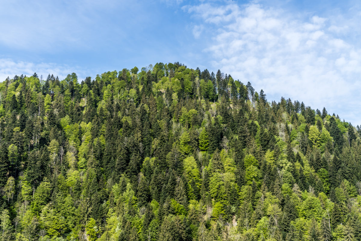
We follow the narrow, steep path downhill towards Tierhag. If you want to divide the altitude better for the sake of your knees, you can easily bypass the section with an additional loop. We follow the forest path in the direction of the Sennhütte to the Tössscheidi, where the Vordere and Hintere Töss merge. The headwaters of the Töss have retained a touch of their wild roughness. With a bit of luck you can see deer, foxes, badgers, or even chamois and red deer.
On leisurely paths back to Steg
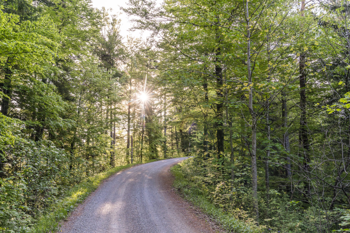
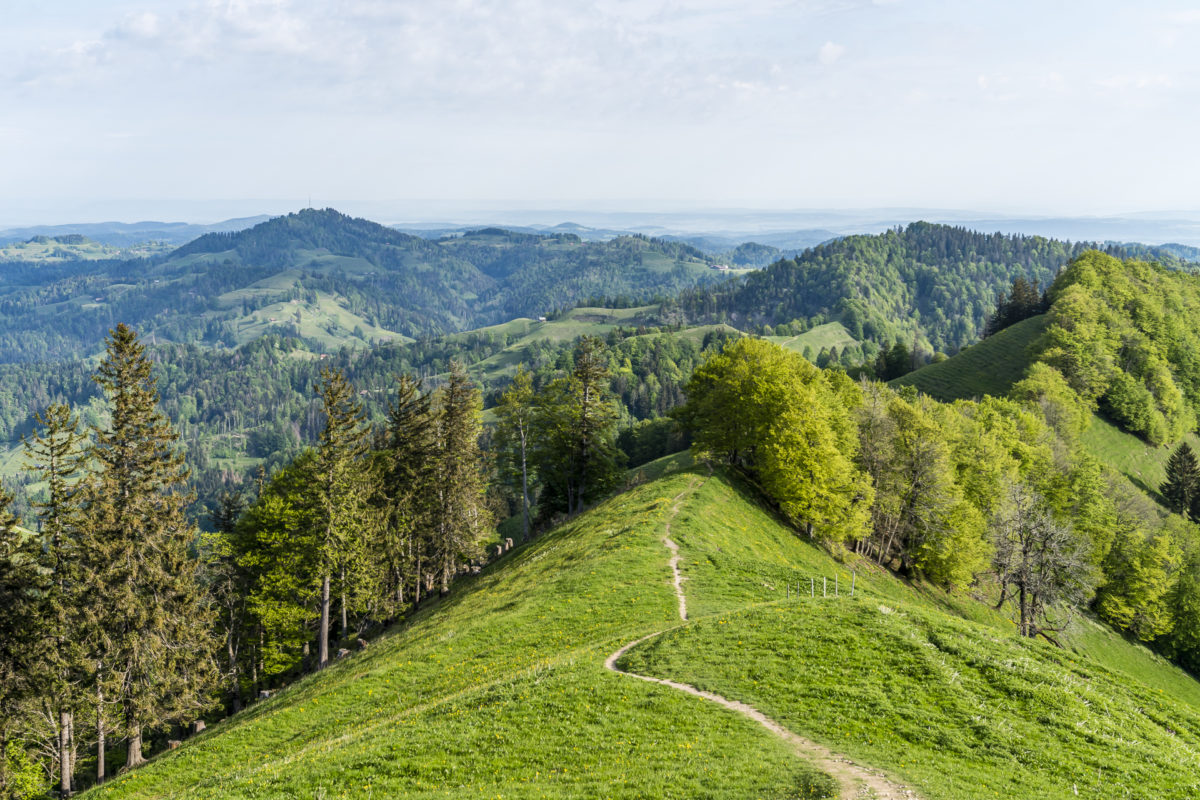
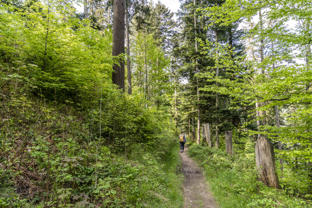
From the Tösscheidi we follow the wide gravel path out of the valley. Here and there, the water plunges spectacularly over hard Nagelfluh walls into deeper basins. Depending on the amount of water, waterfall fans get their money’s worth here. After this panoramic tour, we enjoy a leisurely “run-out” in the pleasantly cool Tösswald. An all-round beautiful circular hike that brings us back to our starting point in Steg after four hours of varied scenery.
Practical information for the Schnebelhorn hike
The Schnebelhorn is surrounded by a dense network of hiking trails and, accordingly, various routes lead to the highest peak in the canton of Zurich. The most popular starting point for a tour to the Schnebelhorn is Steg in the Töss Valley. From here you can take beautiful 4- to 5-hour circular hikes to the Schnebelhorn and back. Steg can be reached with the S 26 from Rüti and Winterthur (every half hour). Alternatively, there is a large car park at Breitenmatt at the Steg ski lift, where you can park free of charge. In the spirit of sustainable and environmentally friendly mobility, however, I would like to take this opportunity to encourage people to travel by public transport (or bicycle) if possible. Even if there is a lot to be said for getting into a virus-free tin box currently.).
The route of our tour can be found on the map below. We opted for an ascent via Chatzenböl and a descent via Sennhütte/Tössscheidi. The distance of this variant of the Schnebelhorn circular hike from Steg is 16.5 kilometres. From Steg, the trail climbs continuously over a distance of 6.5 kilometers (around 700 meters in altitude). This is followed by a relatively steep descent towards Tierhag. The way back along the Töss through the Tösswald is comfortably flat. The hiking trail time on this route is signposted as 5.10 hours. We needed almost two hours for the ascent and then another two hours for the way back to Steg (a total of 4 hours walking time without a break).
As I said, the route options around the Schnebelhorn are diverse. Also, popular are the long-distance hikes from Steg over the Schnebelhorn to Wald (or vice versa) or the tour combination with the Hüttchopf trail. In addition, both a stage of the Toggenburg High Trail and the Züri Oberland High Trail lead over the Schnebelhorn.
Hike Steg – Schnebelhorn – Steg: Key data of our tour
| Starting point | Steg im Tösstal railway station |
| Length | 16.5 kilometres |
| Elevation gain | ↗ 709 m 709 m ↘ |
| Duration | 5:00 p.m. |
| Destination | Steg im Tösstal railway station |
In the Zurich category you will find more regional hiking tips. I have also put together a selection of entertaining circular hikes and excursion destinations in the canton of Zurich in this article: 9 excursions and short hikes around Zurich

Leave a Reply