
Walks in Zurich – 3 ideas to rediscover the city
My blog has been around since summer 2012 and one thing I have become more aware of than ever in these past weeks with a severely restricted range of movement; even though I don’t blog full-time, blogging has become an integral part of my everyday life over the years. In this context, I find it funny that due to the “Corona situation”, some of you have landed on one of my very first blog posts in the last few weeks. The article “City Hiking – Walking in Zurich – Part 1” from August 2012 seemed to be made for the current need for ideas for entertaining walks in the immediate vicinity. When I then posted the link to the city walks “Züri z’ Fuess” in my Insta story, which has now grown to 25, I had to listen to subito’s harsh criticism. “What I’m actually thinking.” “You’re damaging your reputation!” stay the fuck home!».
It was precisely the support of “staying at home” that motivated me to recommend these neighborhood walks to you again. They offer a good basis for getting to know “our neighbourhood” from a new, exciting and perhaps surprising perspective here and there. They allow us to roam early in the morning or after dark. And they allow us to maintain a healthy range of movement without having to stroll along the shores of lakes, meet for a picnic in city parks or drive 100 kilometres to the Alpstein by car… And yes, I haven’t gotten on a train or a car for six weeks now, but have mostly been hiking in the city or taking short bike rides. Like many of you, I hope that in the coming weeks/months we will be able to expand our range of motion bit by bit with a clear conscience. Until then, I’ve put together three self-tried ideas for you on how you can discover new perspectives of Zurich on the umpteenth city walk.
Walk in Zurich #1: Exploring Geological Traces
A nice basis for finding new ideas and routes through the urban jungle is provided by the Geographic Information System of the Canton of Zurich. The GIS contains an incredible number of exciting layers – including Switzerland’s historic transport routes, the nature and landscape conservation inventory and the geological-geomorphological inventory. So why not put together a route along the historic traffic routes on the GIS or march to a landscape conservation object in the city of Zurich? One such discovery tour led me on an early Saturday morning via Burgwies to the Stöckentobel.
The stream that flows through this ravine is commonly known as the “Elefantenbach”. It is not clear exactly how the stream got its exotic name – it is clear that it appeared with this name on maps 50 years before a concrete elephant spouting from its trunk was placed in the middle of the stream in 1898.
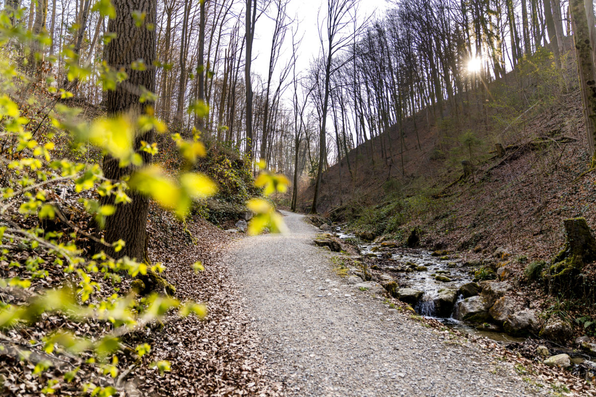

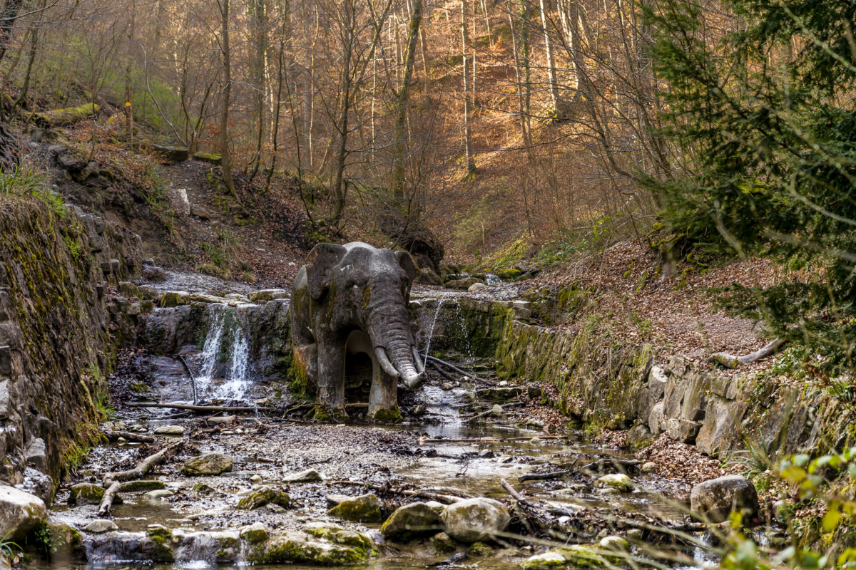
The largely natural ravine is considered one of the regionally well-preserved contemporary witnesses of the Ice Age moraine cover and is at the same time part of a varied circular hike, which leads in a first stage from Burgwies along the Elefantenbach stream up to Witikon. After crossing the village centre of Witikon (where a wonderfully secluded vantage point is hidden at the top of the striking church), the trail heads back down to the starting point via the Werenbachtobel – also part of the geological-geomorphological inventory.
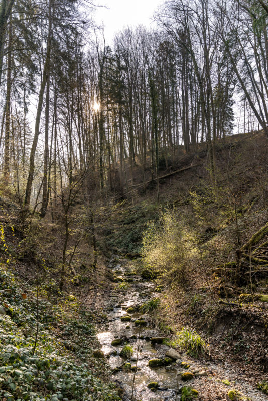
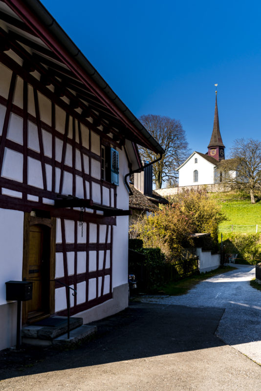
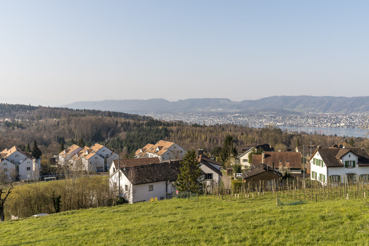
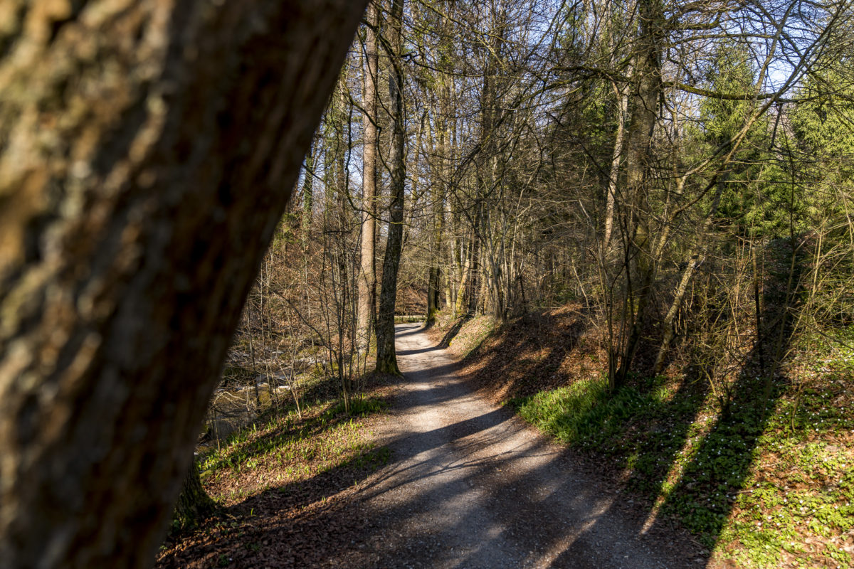
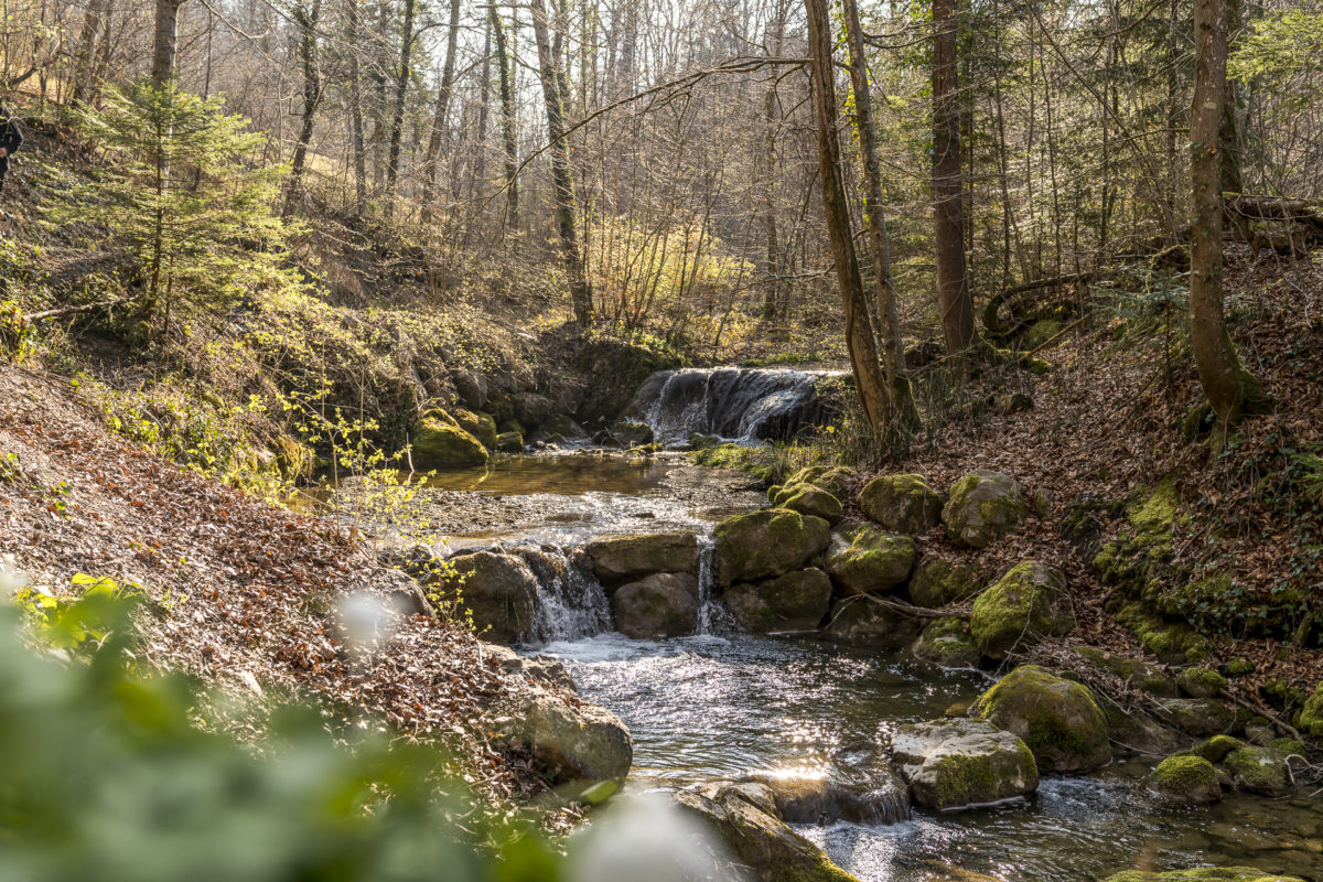
Hiking route Werenbachtobel-Weg
The course of the seven-kilometre-long circular hike is shown on the following map. The route includes an ascent of 240 meters in altitude from Burgwies to Witikon. The time required is just under two hours at a normal walking pace.
The path along the Elefantenbach is also signposted by Zurich’s hiking trails as a family hiking trail. At regular intervals, animal riddles can be found on small plaques, which provide entertainment for the mini-hikers.
Walk in Zurich #2: Discover art in public space
Further suggestions for discovering new paths and corners in Zurich can be found in the field of “Art in Public Space“. On the digital city map (ZüriPlan), more than 400 works of art are spatially located in the publicly accessible urban space under the icon “K”. So why not focus on the works of art in public space during a city walk? Perhaps, like me, you will be amazed at how many works of art we walk past in everyday life without consciously noticing it.
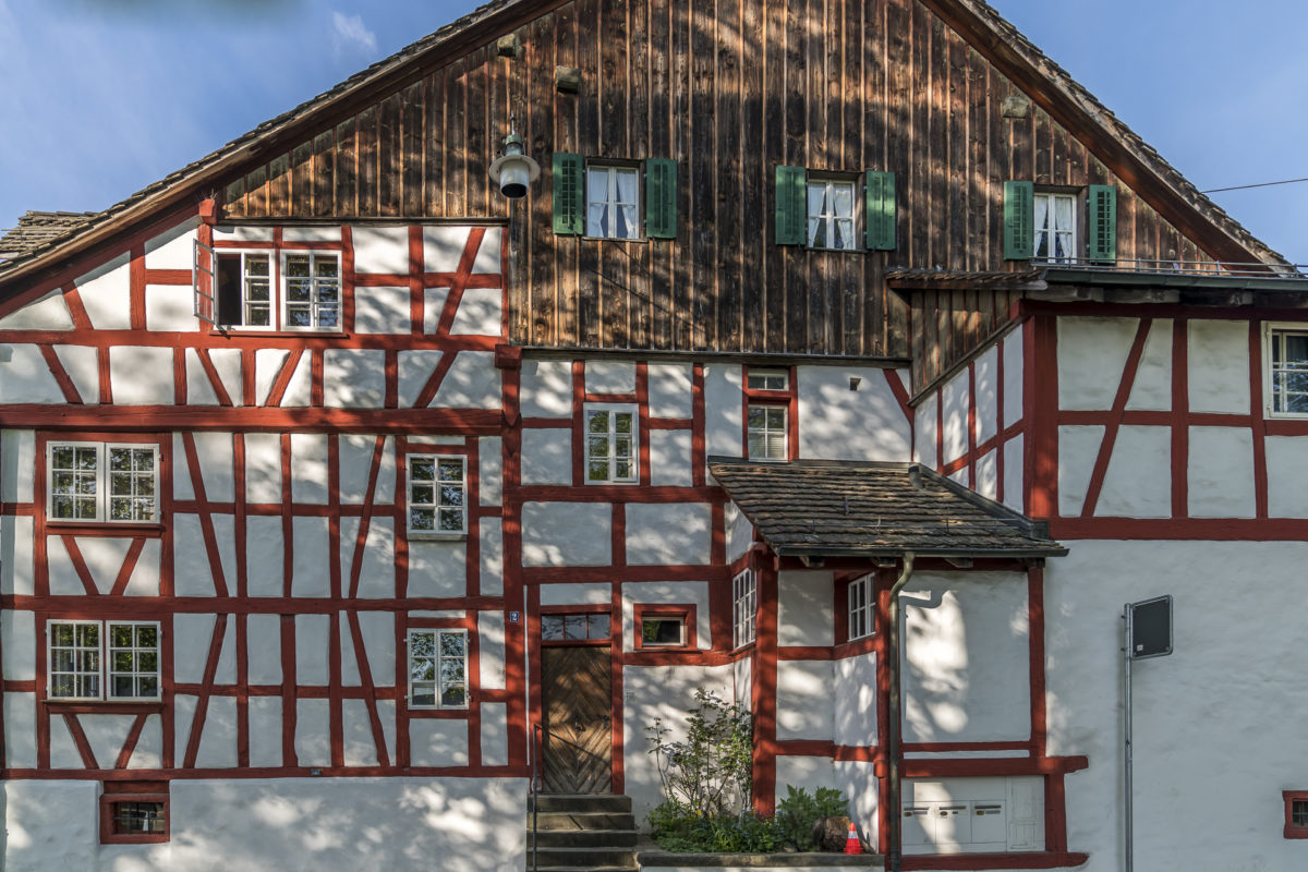
For a total of six quarters, the City of Zurich has developed so-called “Art Loops” in collaboration with the artist Matteo Hofer. Similar to the Züri z’Fuess city walks, the Art Loops guide you through Zurich’s city quarters on little-frequented neighborhood streets and paths. What I find exciting here is that the map material is deliberately kept abstract and that you have to orientate yourself on the basis of a “text score”. This inevitably leads to a deceleration and a more conscious perception of the environment.
We recently took the Art Loop 09 as the basis for an extended Sunday morning walk through Altstetten and Albisrieden, and went on a scavenger hunt similar to a scavenger hunt in search of the contemporary artworks listed. A thoroughly enlightening and exhilarating start to the day.
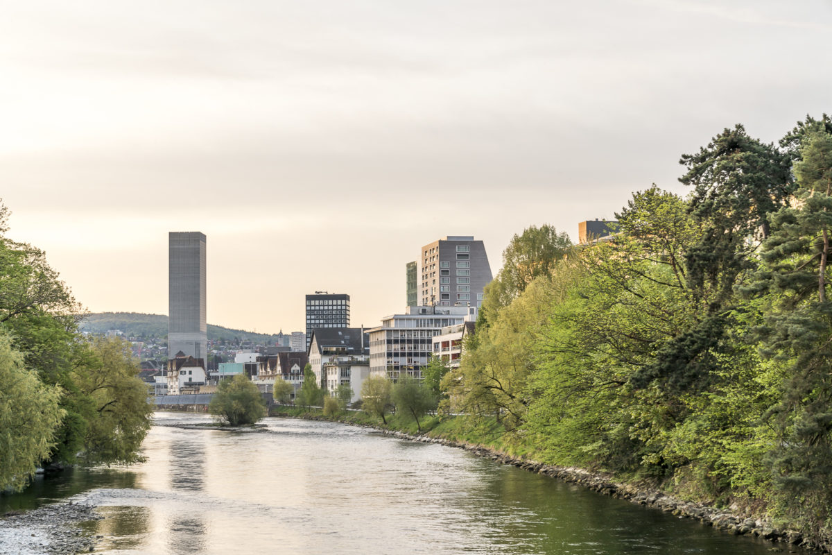


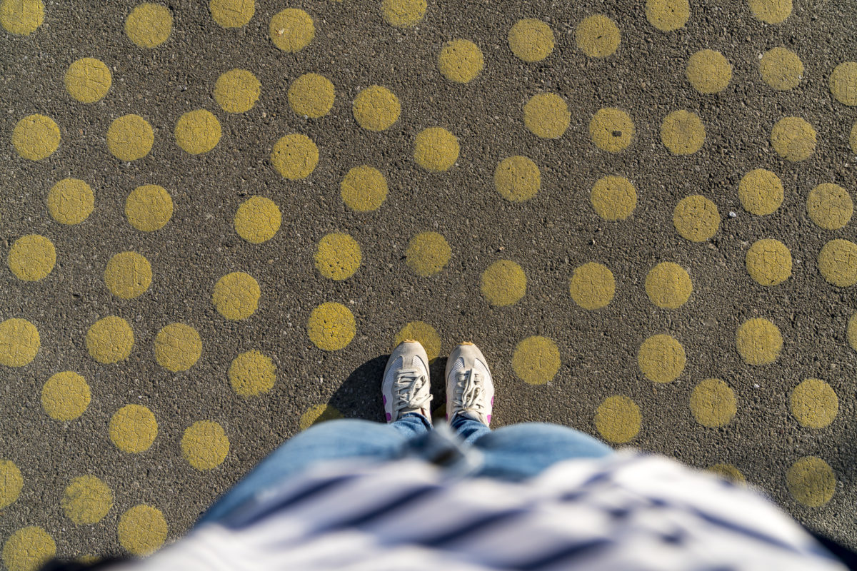
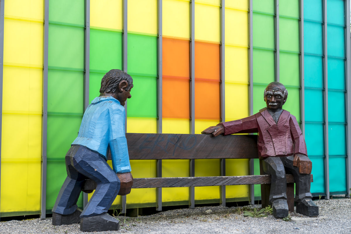
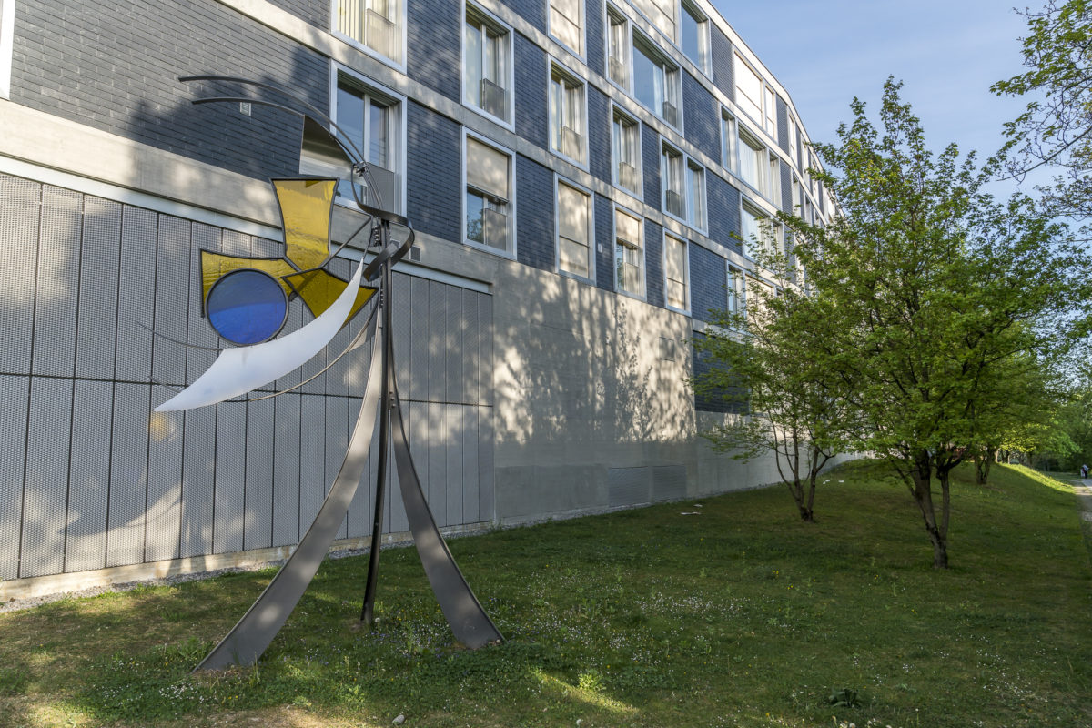
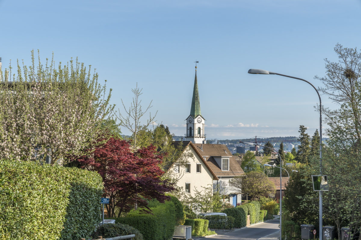
Zurich Art Loops at a glance
In addition to Altstetten/Albisrieden, there are also Art Loops for Wiedikon, Aussersihl, Unter- and Oberstrass, Zurich-Nord and Schwamendingen. The tours all start at Zurich’s main train station – but it is possible to board directly in the neighbourhood without any problems. For our route through Altstetten/Albisrieden, we also did not make the detour via the main station. You can find an overview of the individual art tours here: Art Loops Zurich
Walk in Zurich #3: Stroll through historically grown city districts
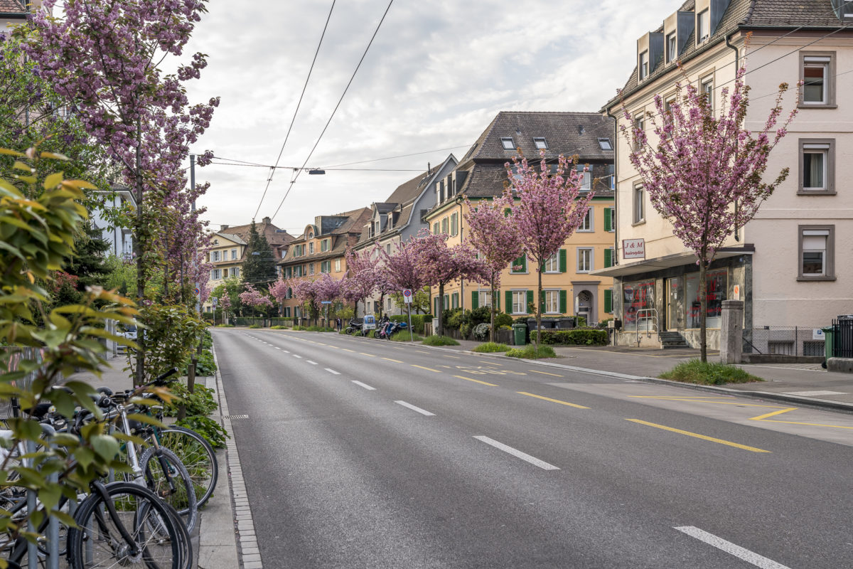
I have already mentioned the total of 25 city walks at the beginning. In addition to the routes that lead through the historically grown city quarters, there are also interesting themed walks (2000-watt walk, around football, with children, etc.) as well as those that can also be accompanied by a radio play. Depending on your mood, the routes can also be combined.
One of my favorite city walks is a combination of the paths through Wipkingen as well as Unter- and Oberstrass. Such a foray takes me from Escher-Wyss-Platz through the core of Wipkingen to Bucheggplatz. From there I follow the Guggachstrasse and Milchbucktrasse in the direction of Strickhof. There, the so-called “Monte Diggelmann” offers a beautiful – almost rural – view of the city. The even more beautiful view is about a 15-minute walk away on the footpath between Resiweiher and Rigiblick.

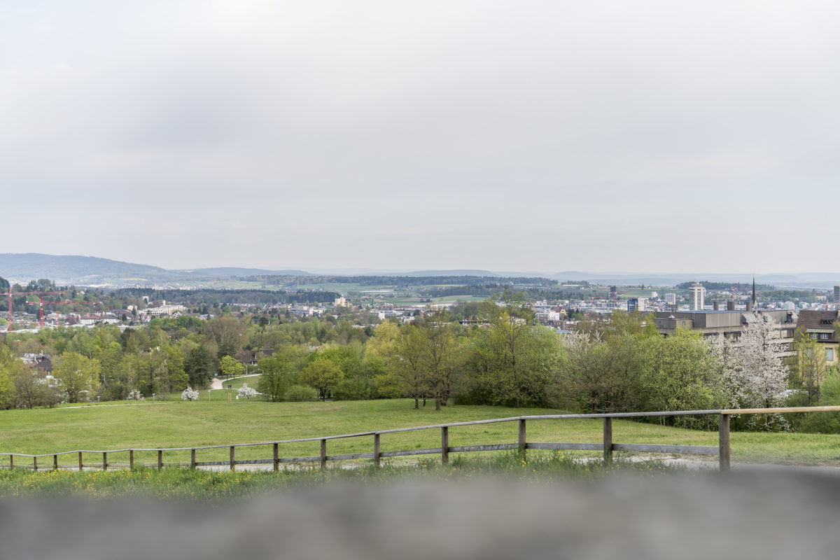
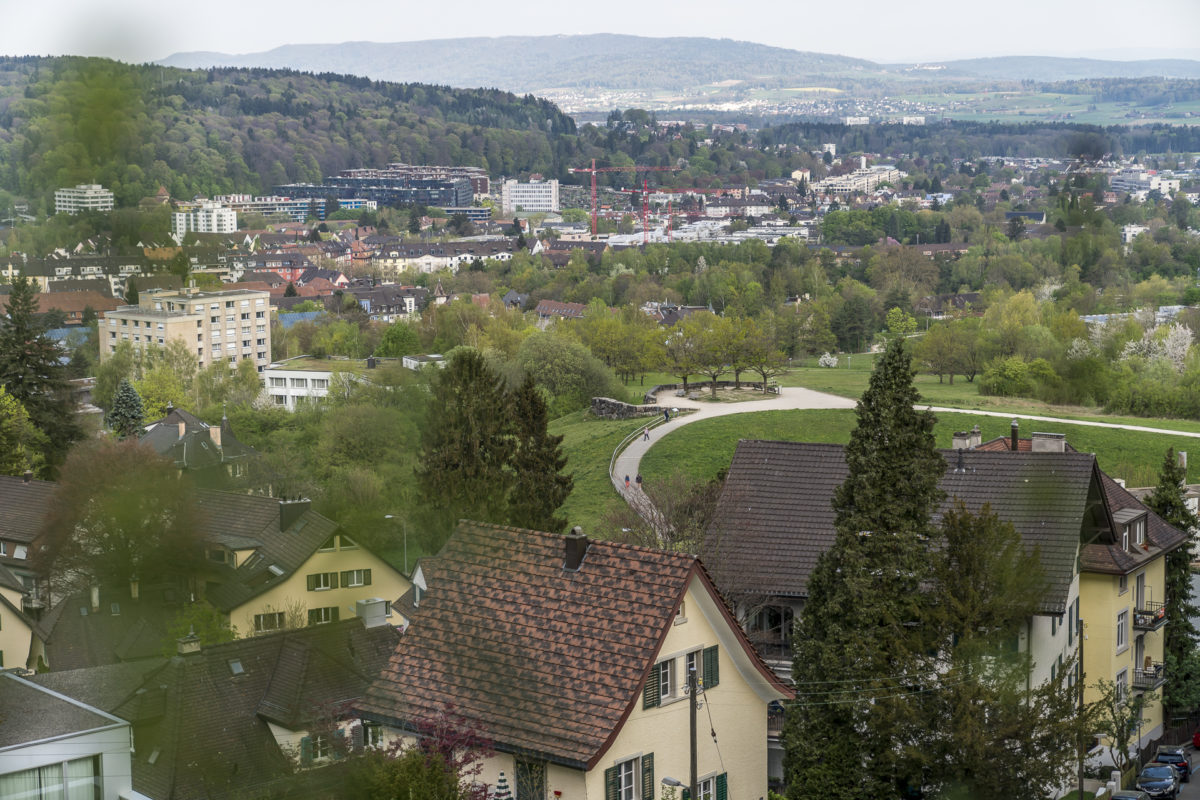
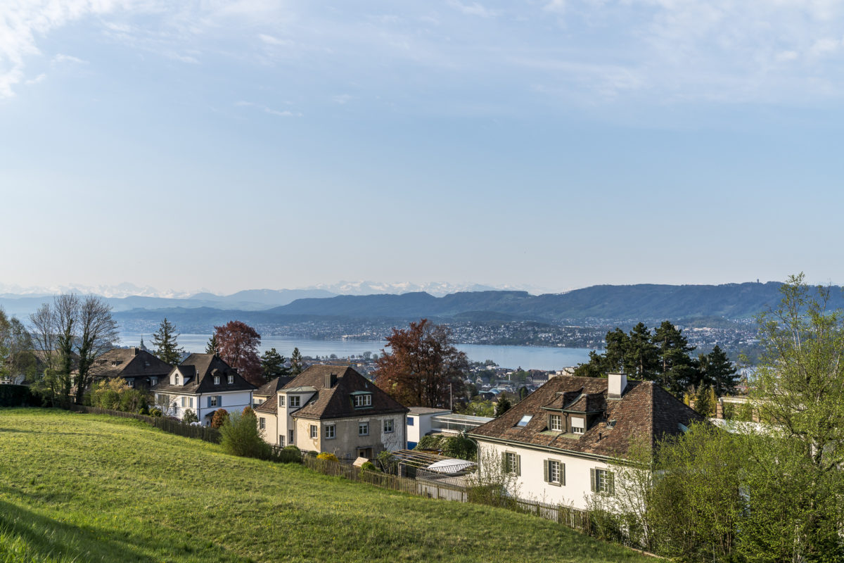
The hiking trails along the Zürichberg (between Monte Diggelmann and Rigiblick) offer many beautiful, sometimes slightly hidden, “viewing niches”. And if you’re not out and about between 1:00 p.m. and 3:00 p.m., you won’t have any problems keeping enough distance from other walkers or joggers.
At the Rigiblick station, I follow the stairs downhill to Rigiplatz. From there it goes via Neumühlequai and Lux-Guyer-Weg (also one of the less frequented paths near the Limmat) back to Wikpingen.
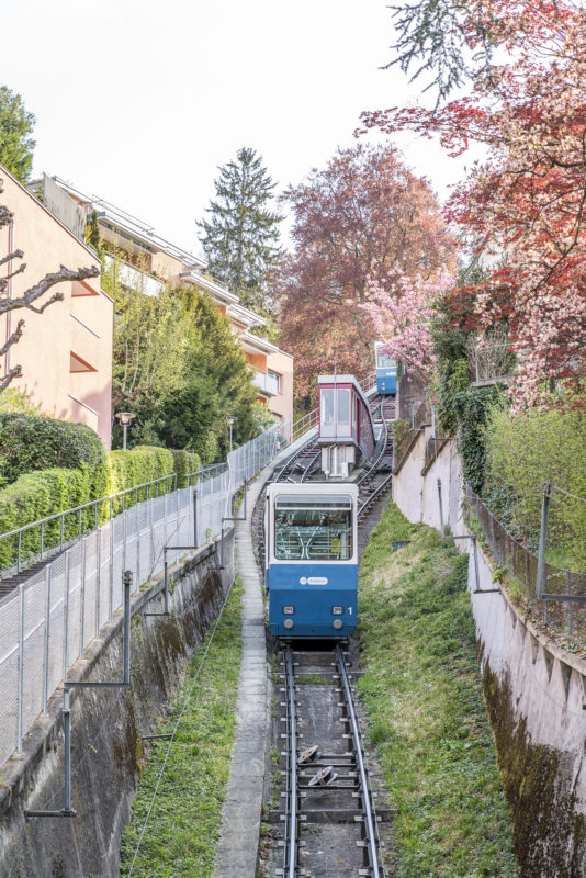
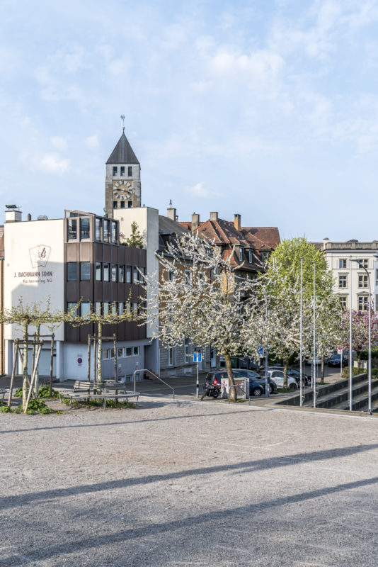
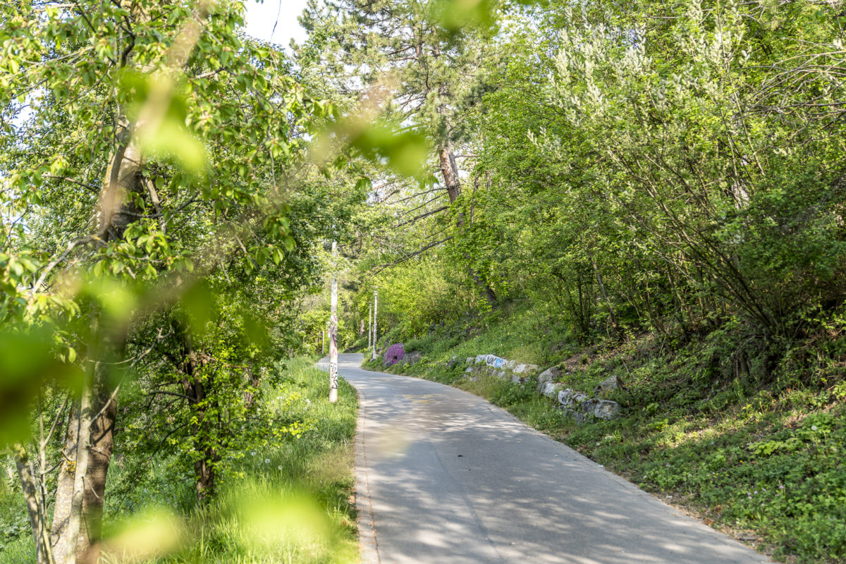
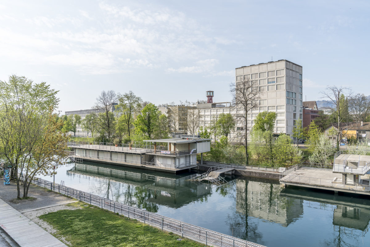
A route according to the motto: always follow your nose – the main thing is an hour of exercise in the fresh air!
You can find even more suggestions for beautiful natural oases and pleasurable short hikes in our region in this article: 9 excursion destinations around Zurich





Leave a Reply