

Thurauen – hike through the largest floodplain area in the Mittelland
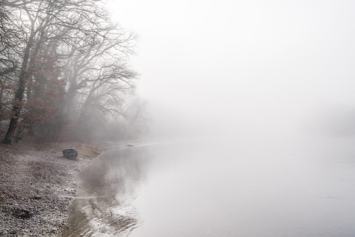
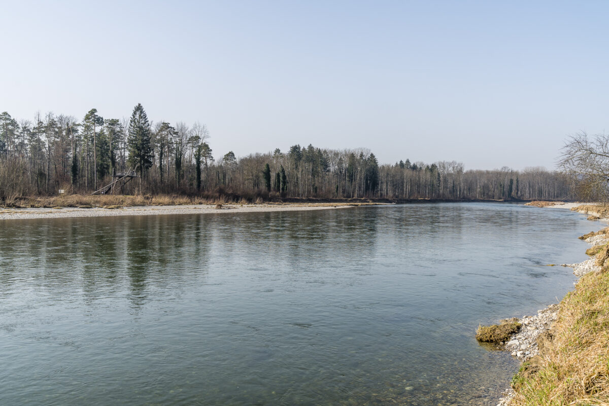
North of Flaach in Zurich’s wine country, the Thur flows into the Rhine. With an area of around 400 hectares, the Thur floodplains form the largest floodplain area in the Swiss Plateau. In the last 10 years, the riverbed of the Thur has been renaturalized – now the river can meander freely again on the last few kilometers before the mouth and flood the surrounding floodplain landscape during floods. We used the first beautiful day of March for a detour to the Thurauen. We combined the excursion with an entertaining hike from Rheinau via Ellikon to the Thurauen nature centre in the municipality of Flaach. A thoroughly recommendable spring outing.
On the ViaRhenana from Rheinau to the Thurauen
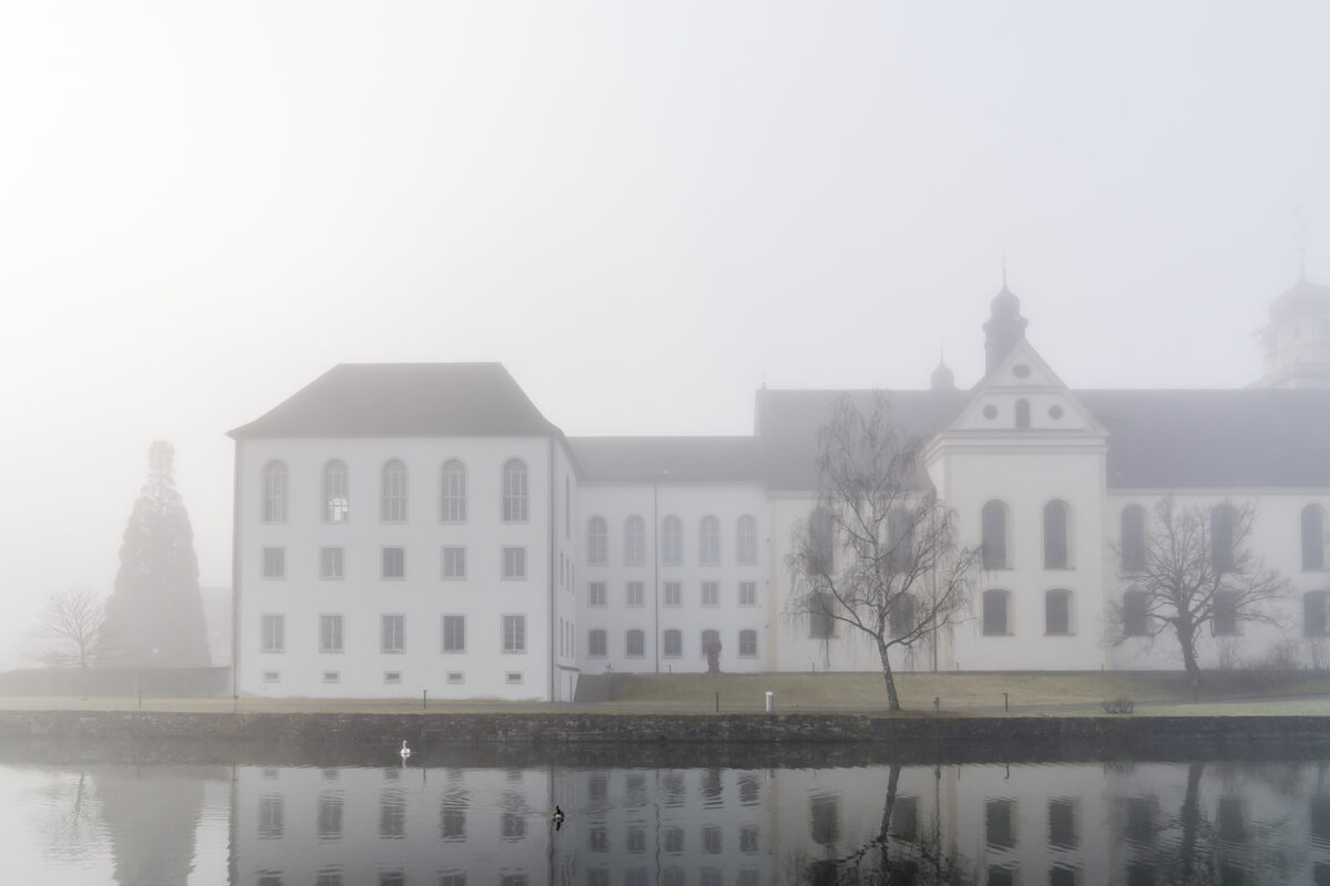
The starting point of our hike is almost at the northernmost tip of the canton of Zurich. The small community of Rheinau is surrounded by a double loop of the Rhine and is home to the monastery church, one of the most important sacred buildings in Switzerland. When we arrive, heavy fog still hangs over the banks of the Rhine. Nevertheless, we don’t miss the short walk from the Unterdorf bus stop down to the monastery island. What a mystical atmosphere! Unfortunately, today is not Saturday – otherwise we would have taken a look at the farm shop of the local foundation and fortified ourselves with a coffee “to go” for the upcoming hike in the Kafi Klosterplatz.
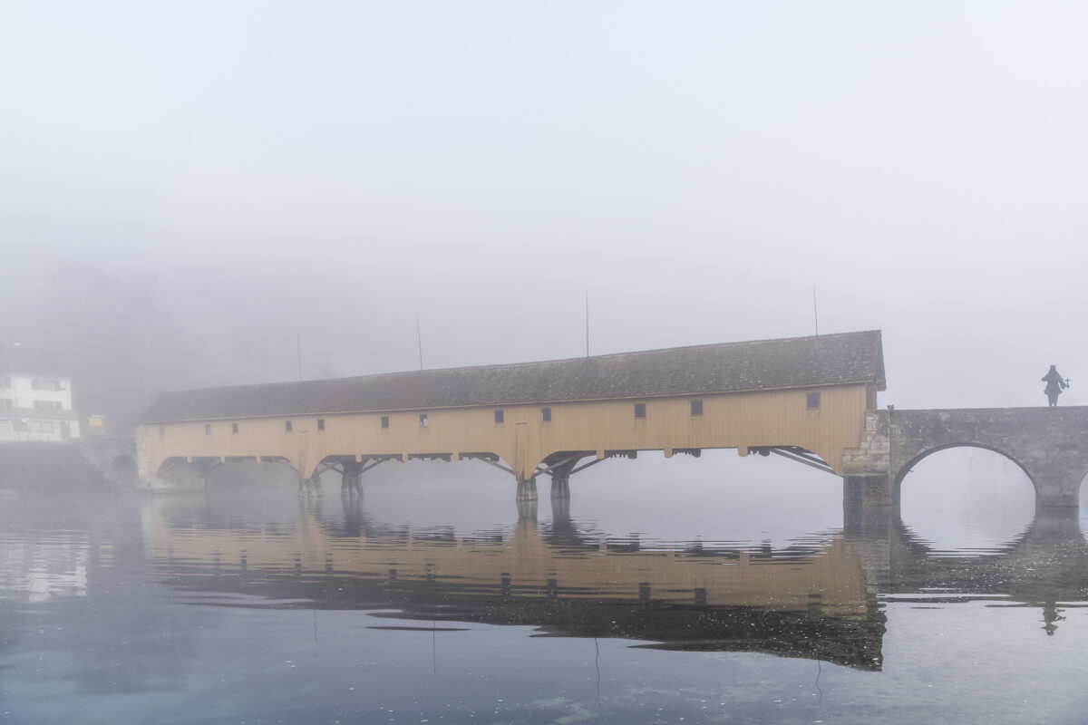
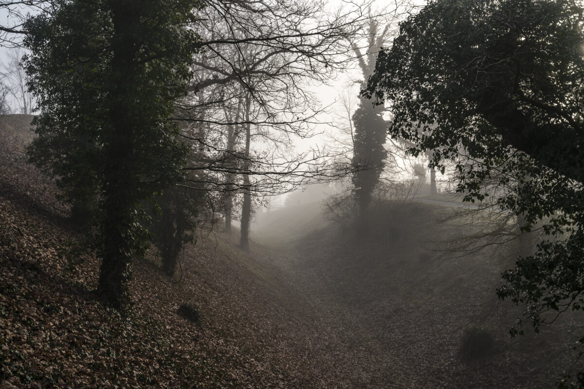
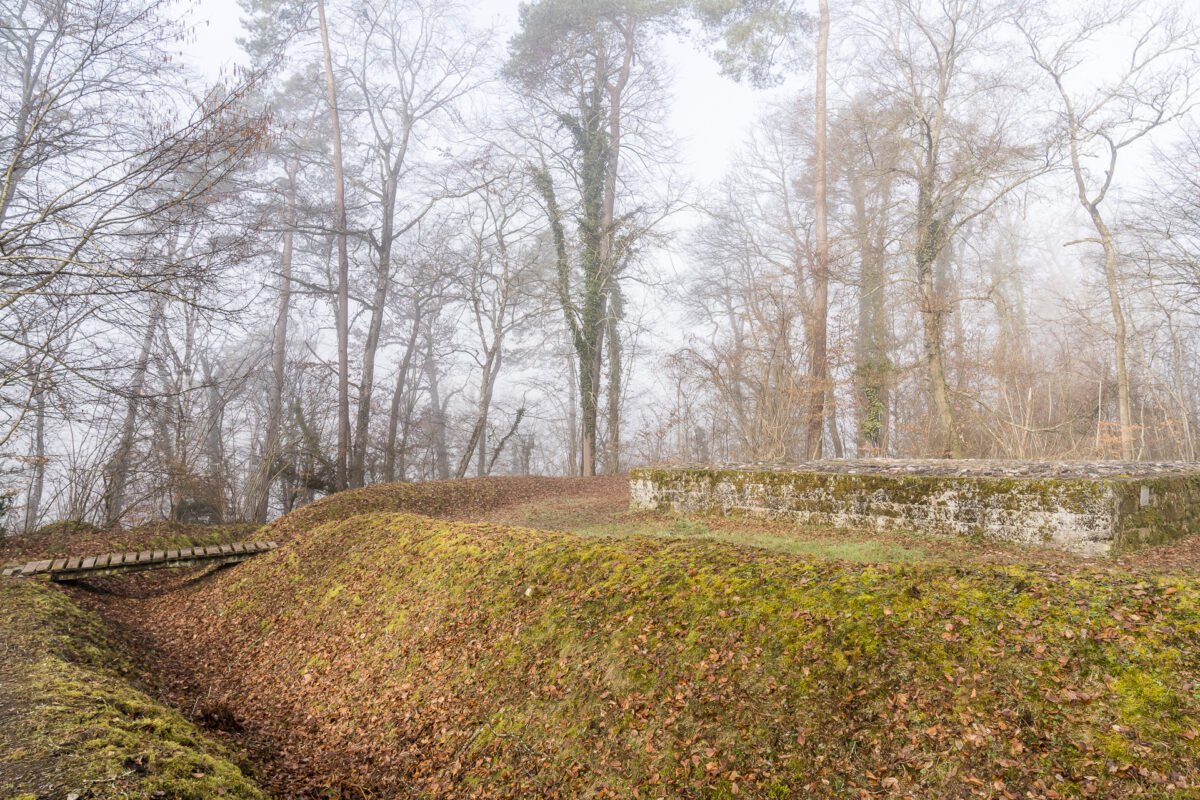
So we start the fifth stage of the “ViaRhenana” without an extra caffeine kick. We follow the signposts that lead us through the village centre to the opposite side of the Rhine loop to the Rhine bridge. We stay on the Swiss side of the Rhine and follow the riverbank past the “Stadtgraben” from Rheinau to the Lower Power Plant. The moat is a remnant of a defensive wall built by the Celts and a contemporary witness from the era when Rheinau was an important transshipment point for trade goods.
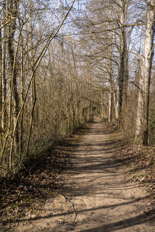
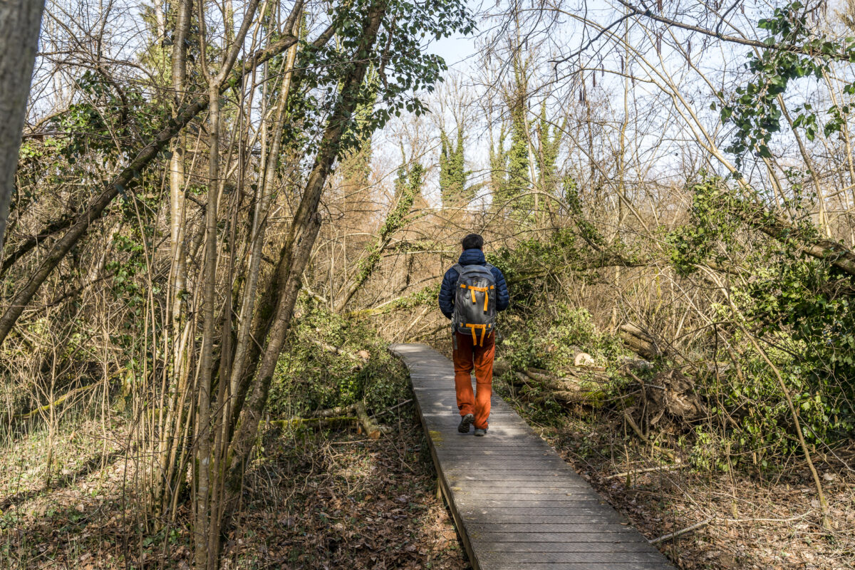
From the Lower Power Plant, patience is now required for a good 20 minutes of walking. The hiking trail follows a not very attractive tarred road, which presumably also serves the maintenance of the power plant and is developed accordingly. But just before the motivation leaves me, the hiking trail turns into a natural path and dives into the forest.
After another 20 minutes or so, it is worth taking a short detour to the Roman lookout Strickboden, which is located to the left of the hiking trail. The ruins of a late Roman watchtower are another witness to what was once Switzerland’s most important waterway from the Untersee to Basel.
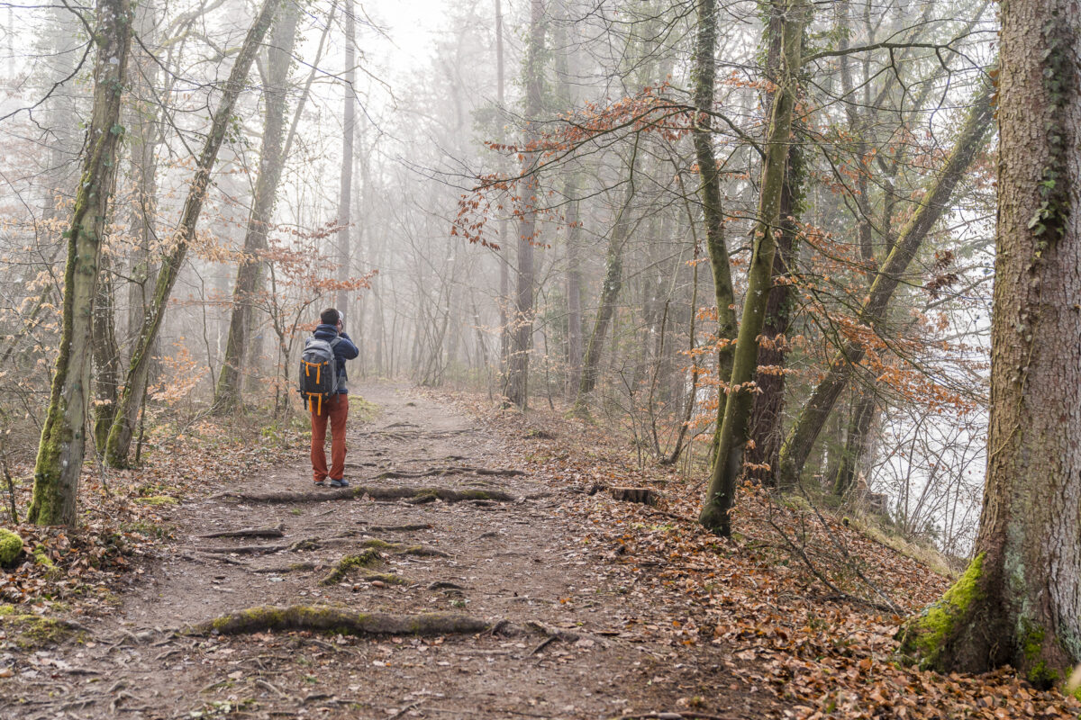
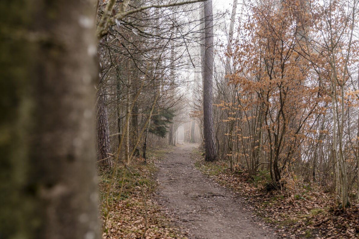
After the Roman lookout, there is a sparse section of forest, which is marked on the topo map as the “Strickboden”. In this section there are beautiful forest clearings, which are among the most biodiverse in the canton. Unfortunately, we are too early to marvel at the splendour of the flowers – but I can imagine that the forest floor will be covered by a fairytale sea of flowers as spring progresses.
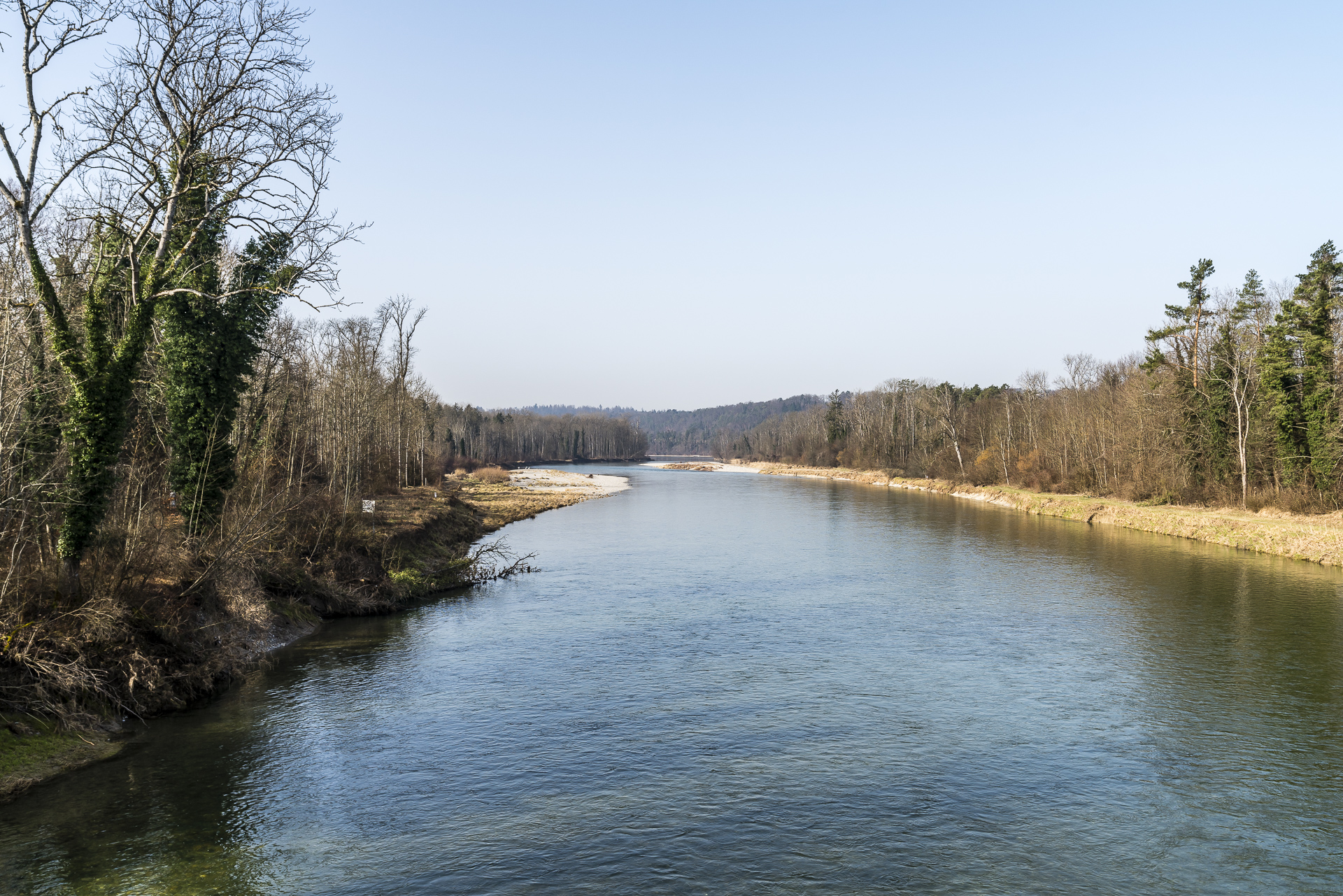
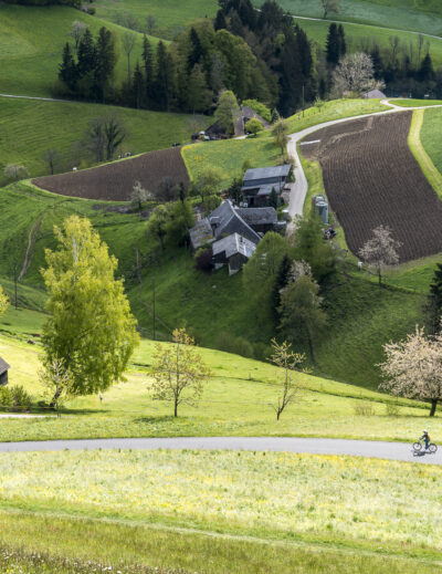
Our foray through the largest floodplain area of the Swiss Plateau
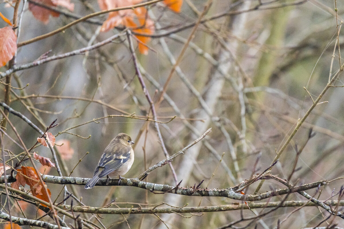
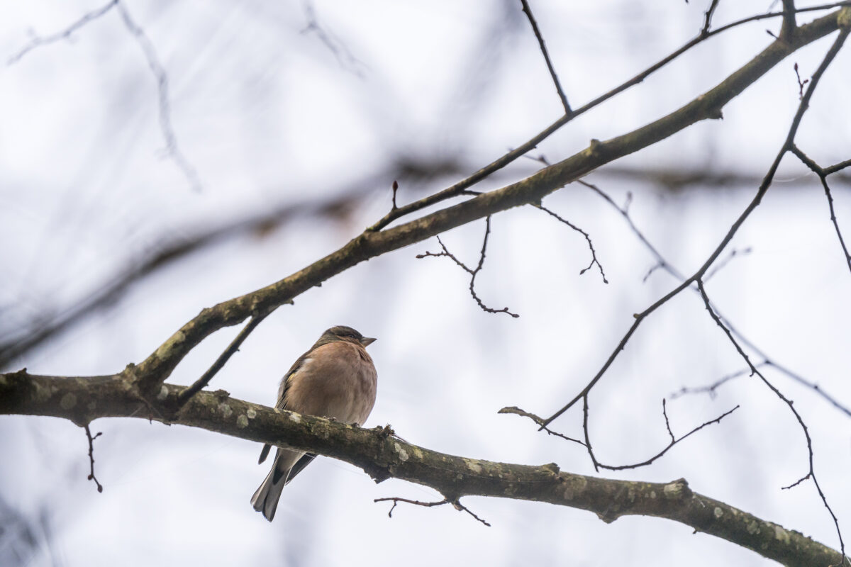
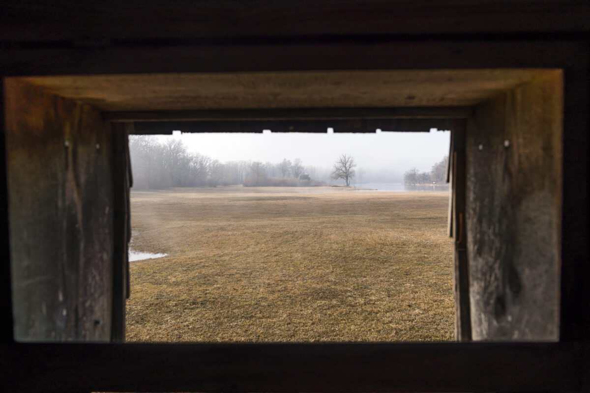
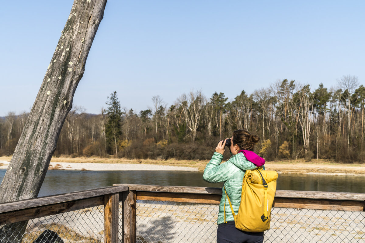
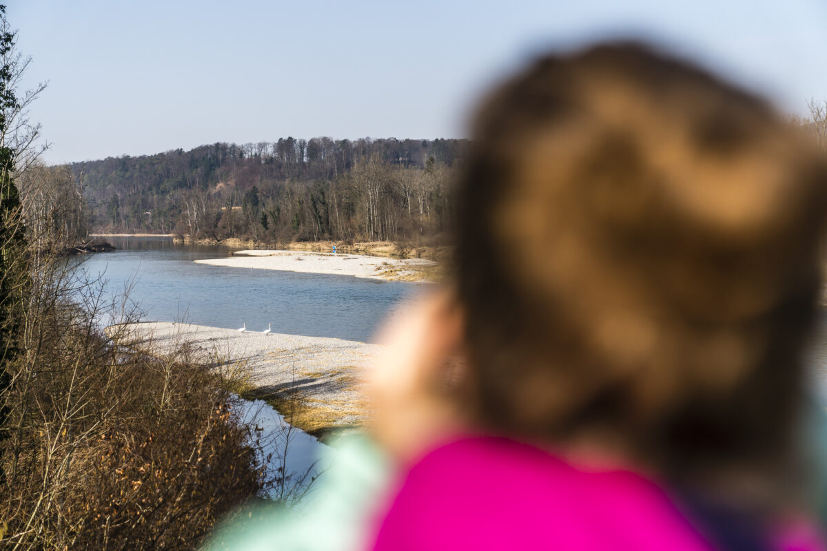
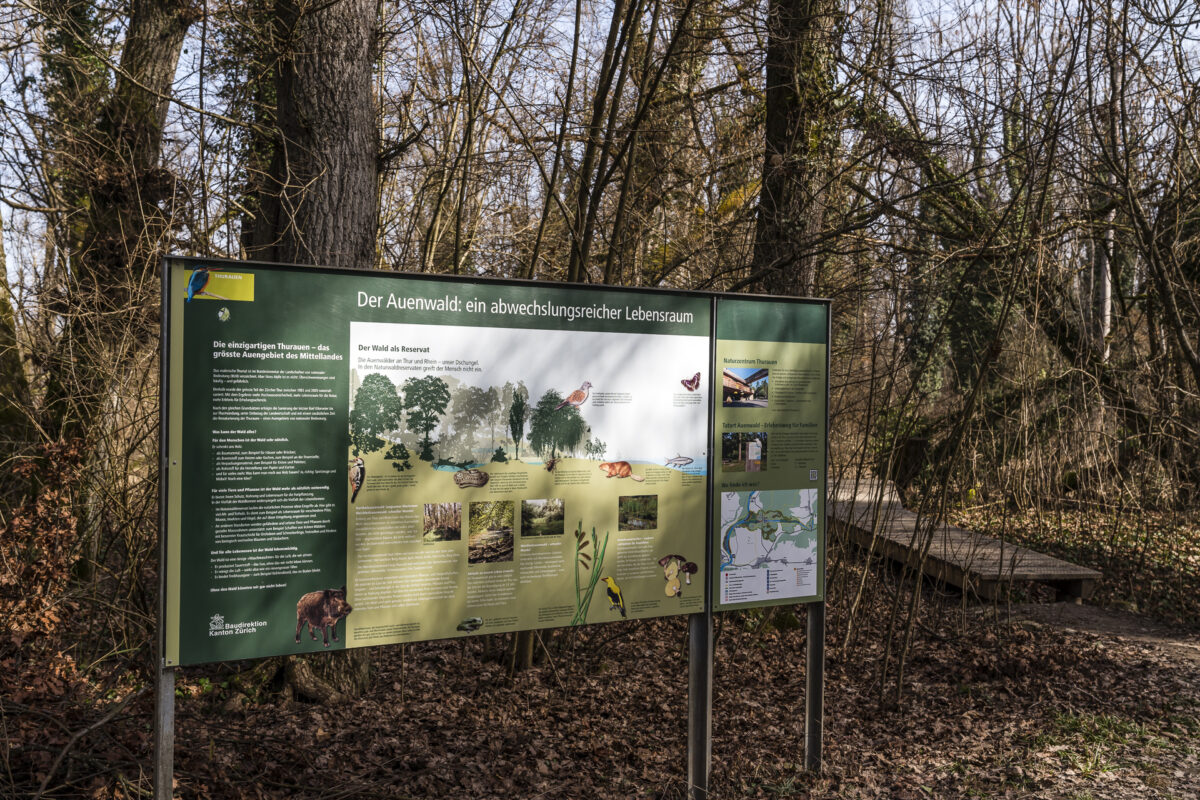
After the pretty hamlet of Ellikon on the Rhine, the floodplain conservation area of the Thurauen begins. Our hiking trail leads through the middle of the protected area. We also pass one of the nature observation points, from where you can observe the wildlife in the protected shore area. In addition, there are other signposted hiking trails as well as an interactive adventure trail aimed at children.
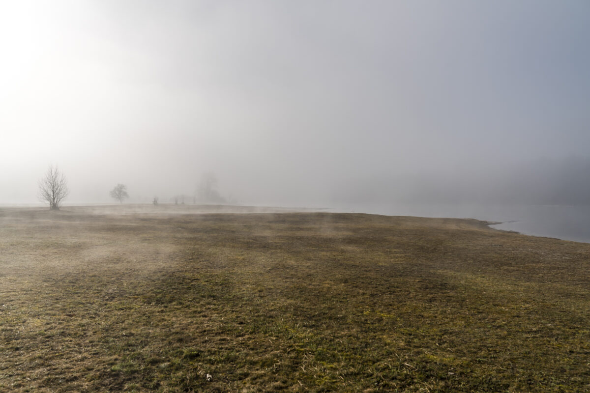
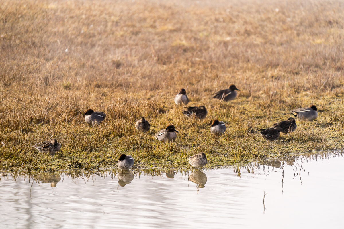
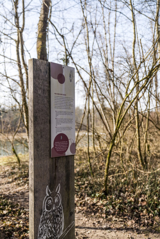
Depending on your desire, mood and time, you can easily insert one or the other additional loop here. On the website of the nature centre you can find out in advance which animal and plant species can currently be observed. We had hoped to spot beavers. Along with the kingfisher, they are among the most prominent representatives of the protected animal species living here and are easier to spot in winter than in summer. But we probably would have had to be on the road much earlier (or later) for that. Either way, it’s worth packing your binoculars.
Practical tips for your hike through the Thurauen
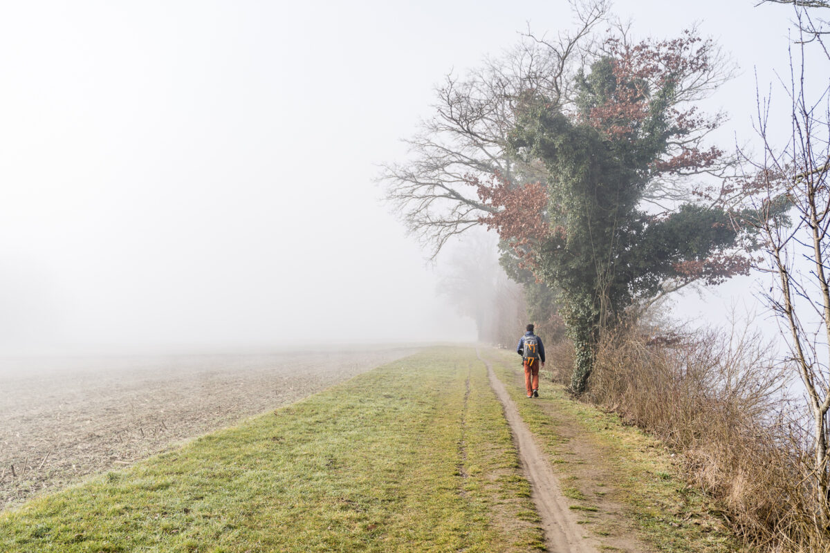
On the following map you can see the route of our hike from Rheinau via Ellikon through the Thurauen. The route measures around 12.9 kilometres and does not include any significant climbs. Some sections lead over tarred roads – but the majority of the hiking trail runs on beautiful forest and gravel paths (not obstacle-free). It took us a good three hours to cover the entire route, but we were on the road at a leisurely pace and also made an observation stop here and there. It is an easy T1 trail (marked in yellow) that can also be done with children. Alternatively, you can start the hike at the Thurauen Nature Centre and from there take a circular hike through the Thurauen.
A detour to the Thurauen is worthwhile at any time of the year. During the winter months, it is quiet here and the nature center remains closed. However, thanks to information steles and clearly designed information brochures, which are available free of charge and guide you to the observation posts, you can find your way around easily.
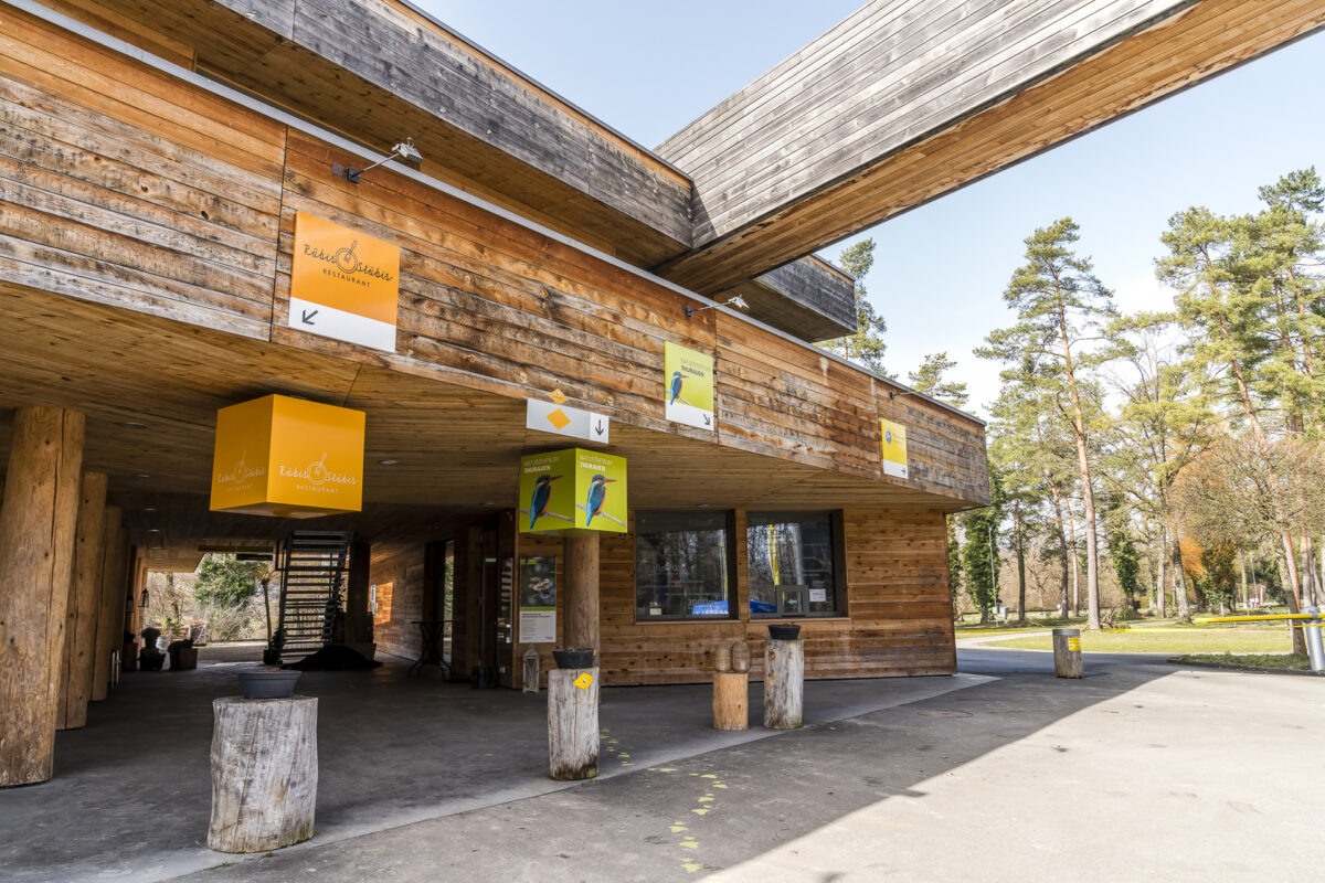
In the summer season (from the end of March to the end of October), the nature centre and its adventure trail are open from Wednesday to Saturday in the afternoon (from 1:00 p.m.) and on Sundays and public holidays from 11:00 a.m. to 5:00 p.m. By the way, right next to the nature centre is the outdoor swimming pool of the municipality of Flaach (perfect for hot summer days) as well as a 4-star TCS campsite – you can combine the detour to the Thurauen with a touch of exoticism (for example glamping in a safari tent). More information about admission prices, guided tours, etc. can be found directly on the website of the Thurauen Nature Centre.
And finally, a tip for asparagus fans: Flaach is considered the Swiss asparagus region par excellence and the detour to the Flaach asparagus farm with farm pub (floor 1) only takes an additional 10 minutes to complete.
Key data of the tour Rheinau – Ellikon – Flaach Ziegelhütte
| Starting point | Bus stop Rheinau, Unterstadt |
| Reachability | accessible by public transport |
| Length | 12.9 kilometres |
| Elevation gain | ↗ 129 m 132 m ↘ |
| Duration | ca. 3:00 pm |
| Destination | Bus stop Flaach, Ziegelhütte |
| Catering | Catering facilities in Rheinau (Klosterinsel), Ellikon and in the Thurauen Nature Centre (Flaach) |
You can find more regional excursion and hiking tips here: Sights in the Canton of Zurich

Leave a Reply