

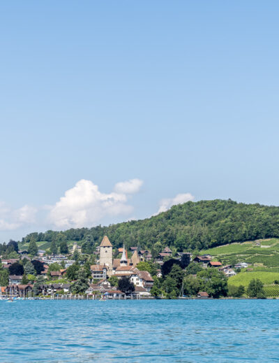
Trutg dil Flem – on the Flims waterway to Segnesboden
Today we have a short, crisp hiking tip – two weeks ago we were on the Flims waterway. The “Trutg dil Flem” leads along Flims’ lifeline – the rushing Flem – from the village centre of Flims to the waterfall in the lower Segnesboden not far from the Segneshütte. The hike can be done in both directions, but we decided to walk uphill in favor of our knees.
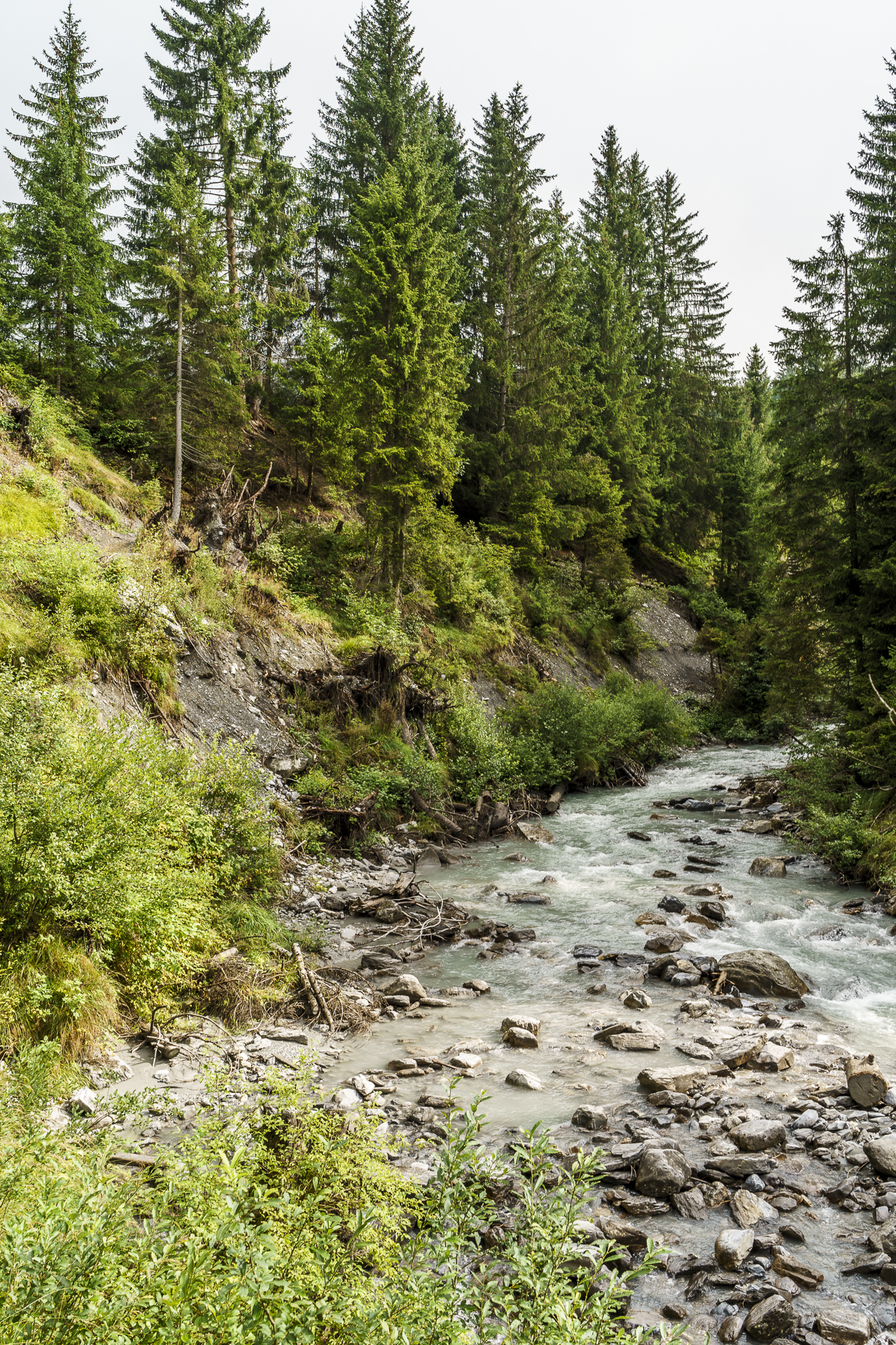
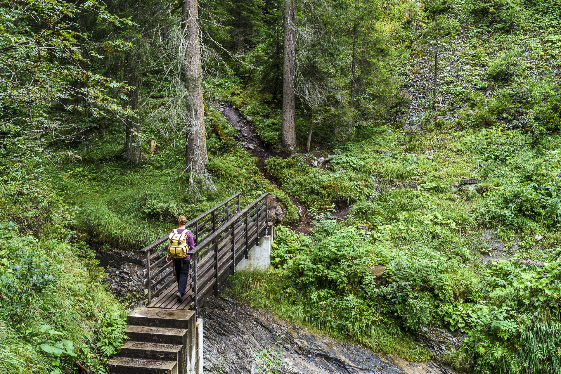
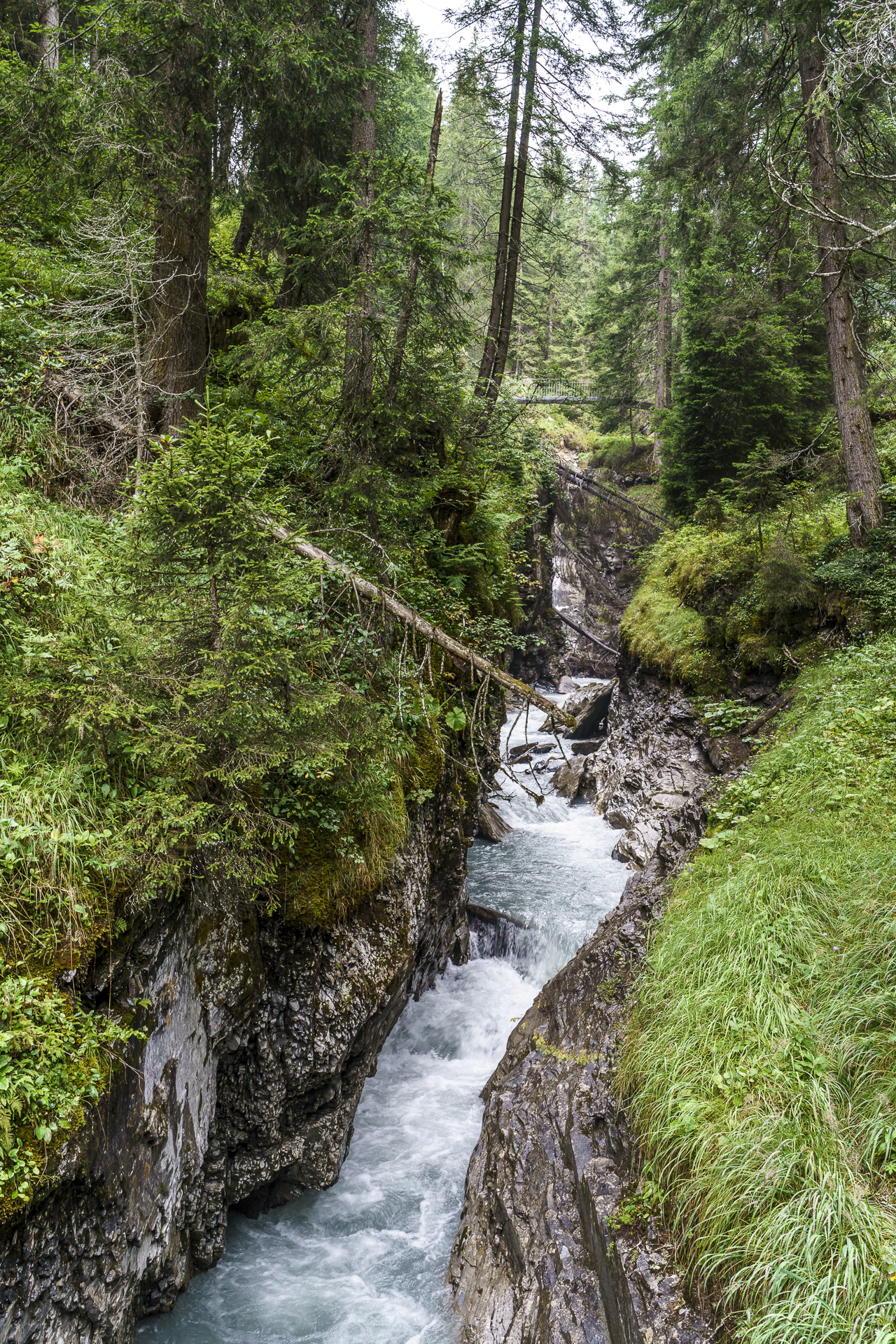
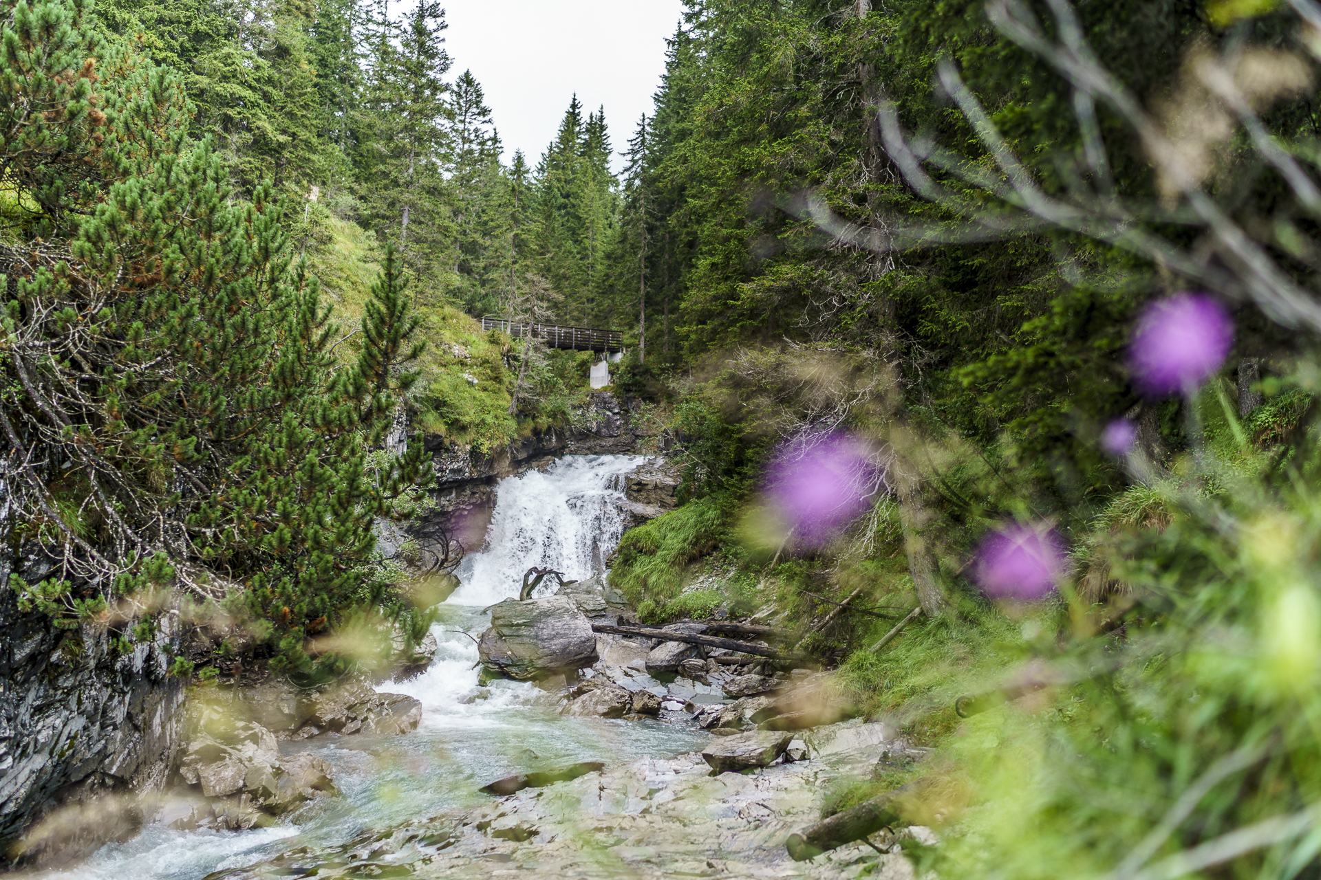
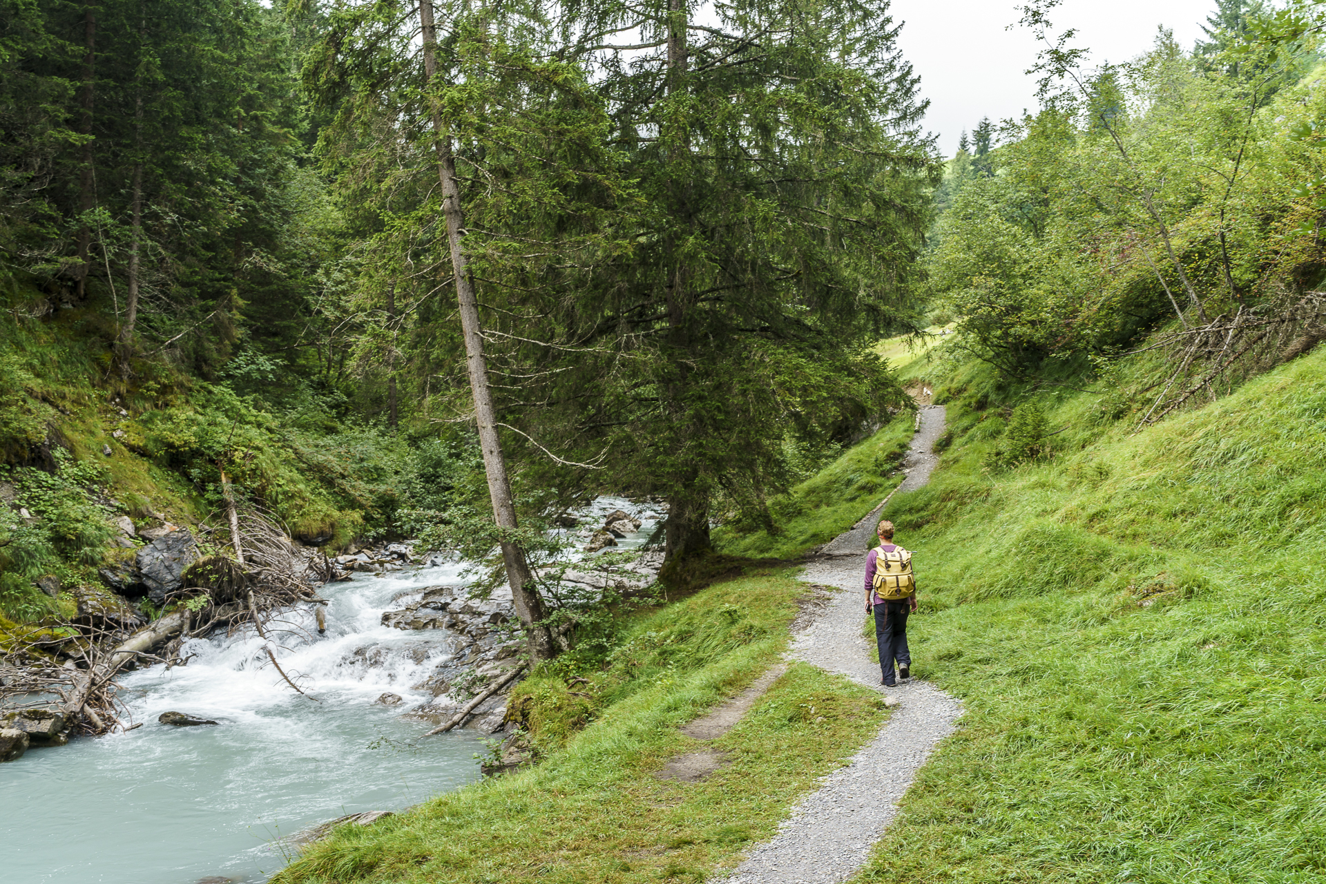
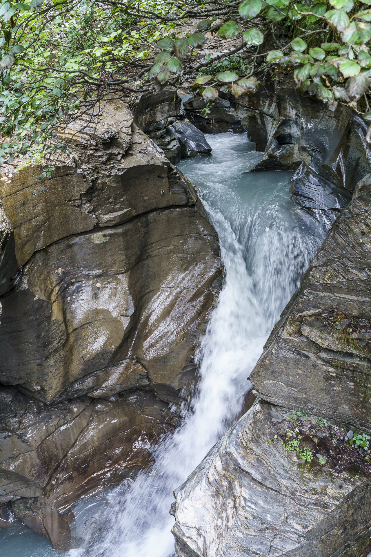
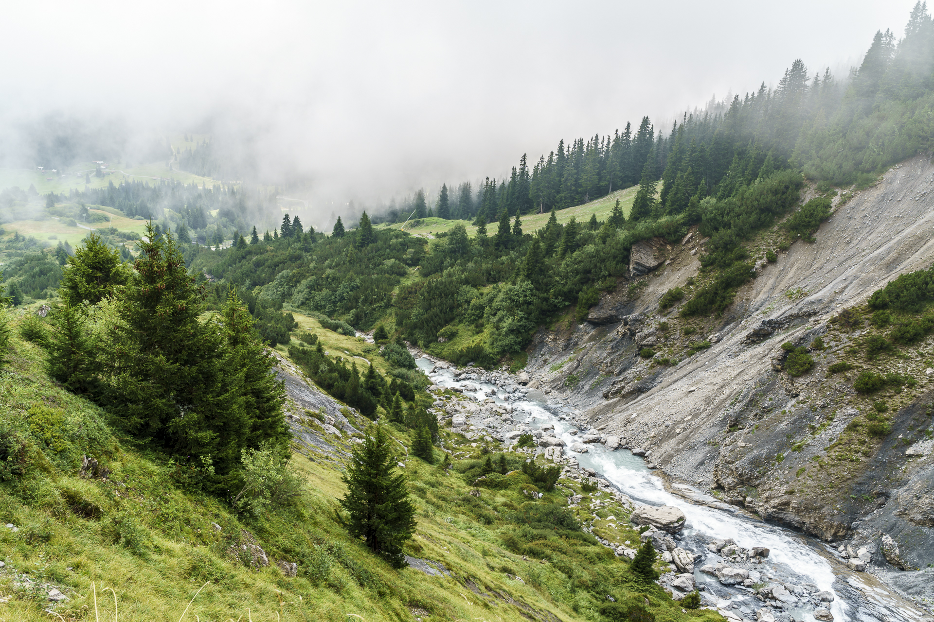
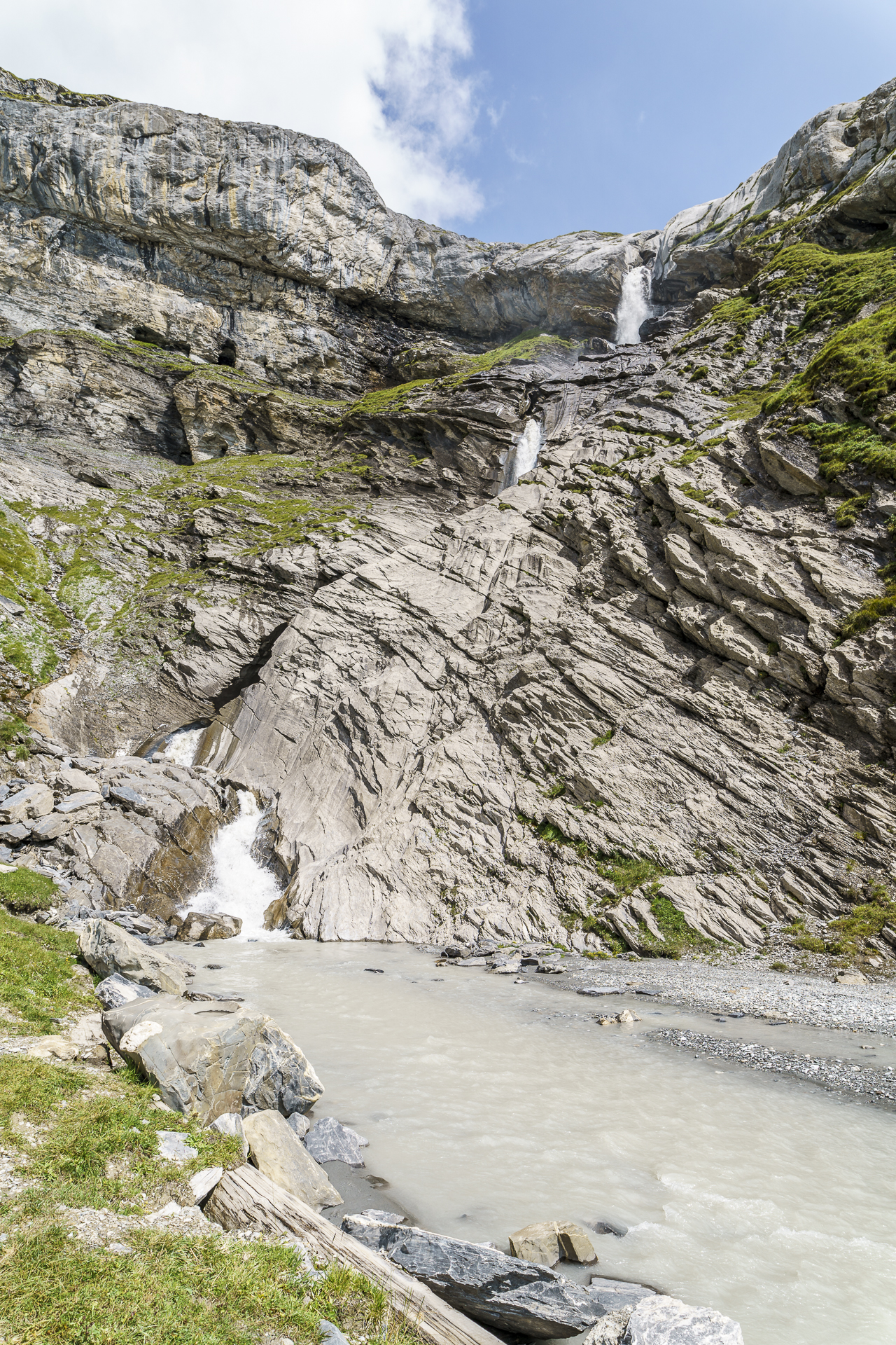
The first section of the trail leads with a slight ascent through a mystical section of forest. Since it had rained shortly before, the intense green color nuances of the mosses, ferns and lichens came into their own incredibly well and I could hardly get enough of it – so beautiful! At the hamlet of Muletg begins the section of the gorge where the Flem has dug deep into the rock and plunges down into the valley partly as a rivulet and partly with a loud roar.
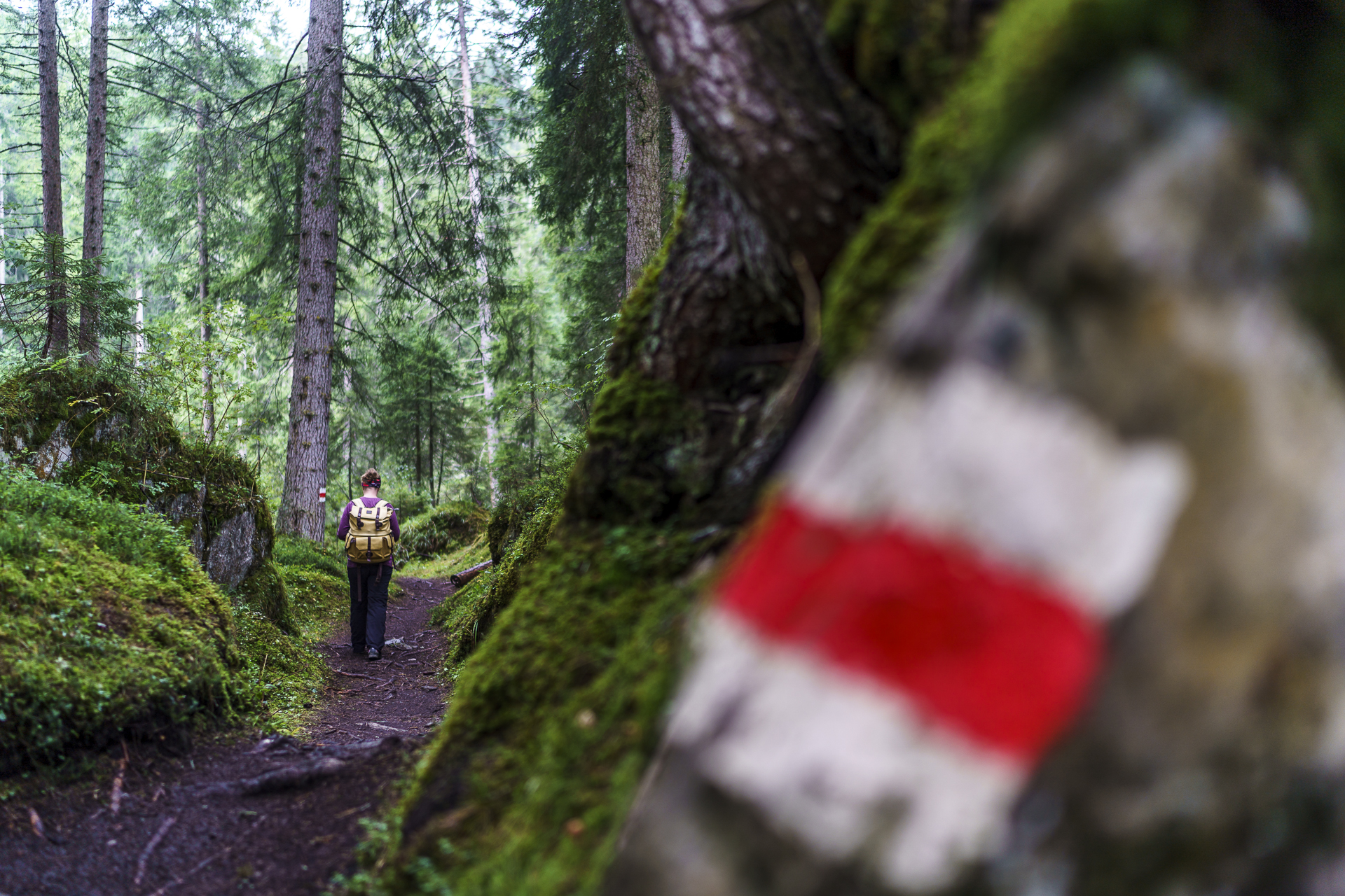
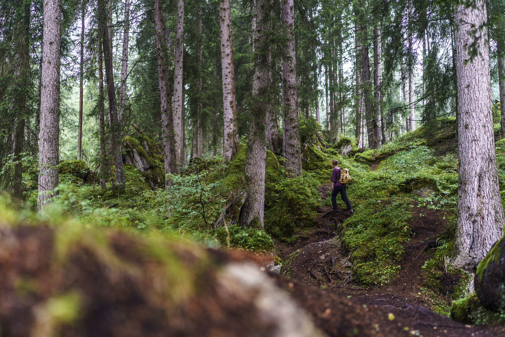
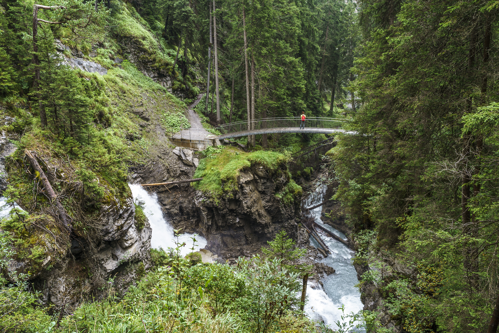
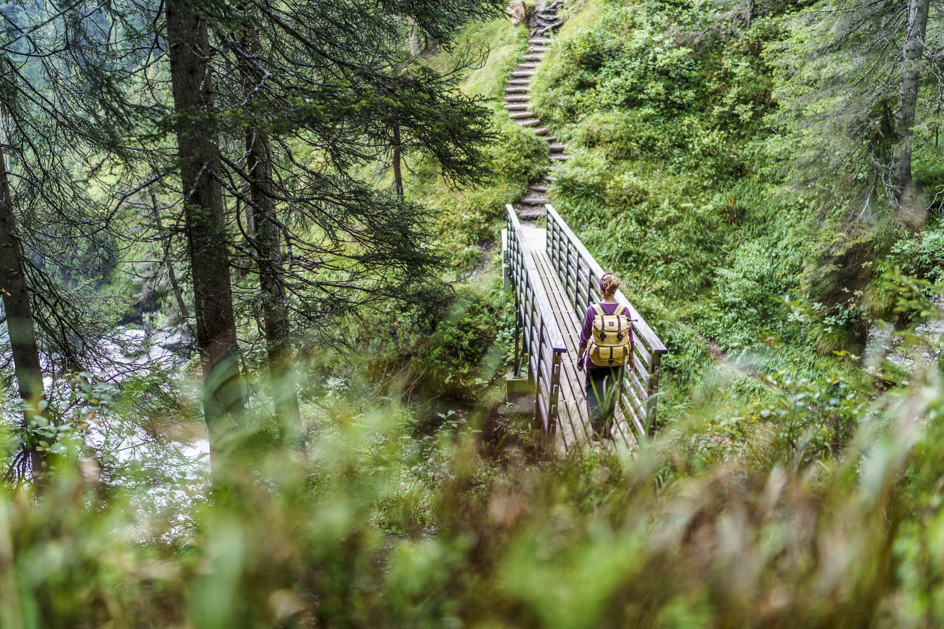
Beautiful insights into the bizarre rock formations washed out by the water are offered by seven delicately positioned bridges. The small structures that make the hiking trail an experience are the work of the well-known Chur engineer Jürg Conzett. We were also impressed by the different types of paths – partly narrow paths, partly gravel field paths, then again over pieces and stone and over wooden slats high up. The steadily ascending hiking trail without any noteworthy steep sections almost makes you forget in between that you are constantly walking uphill.
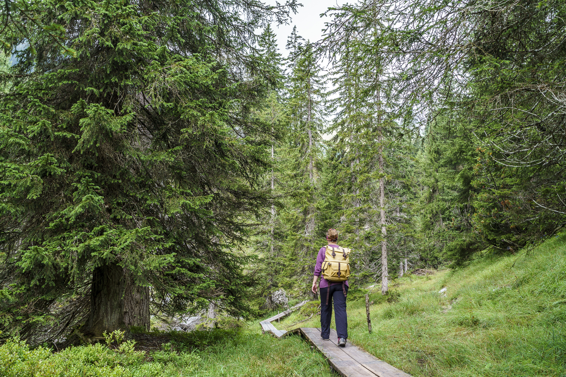

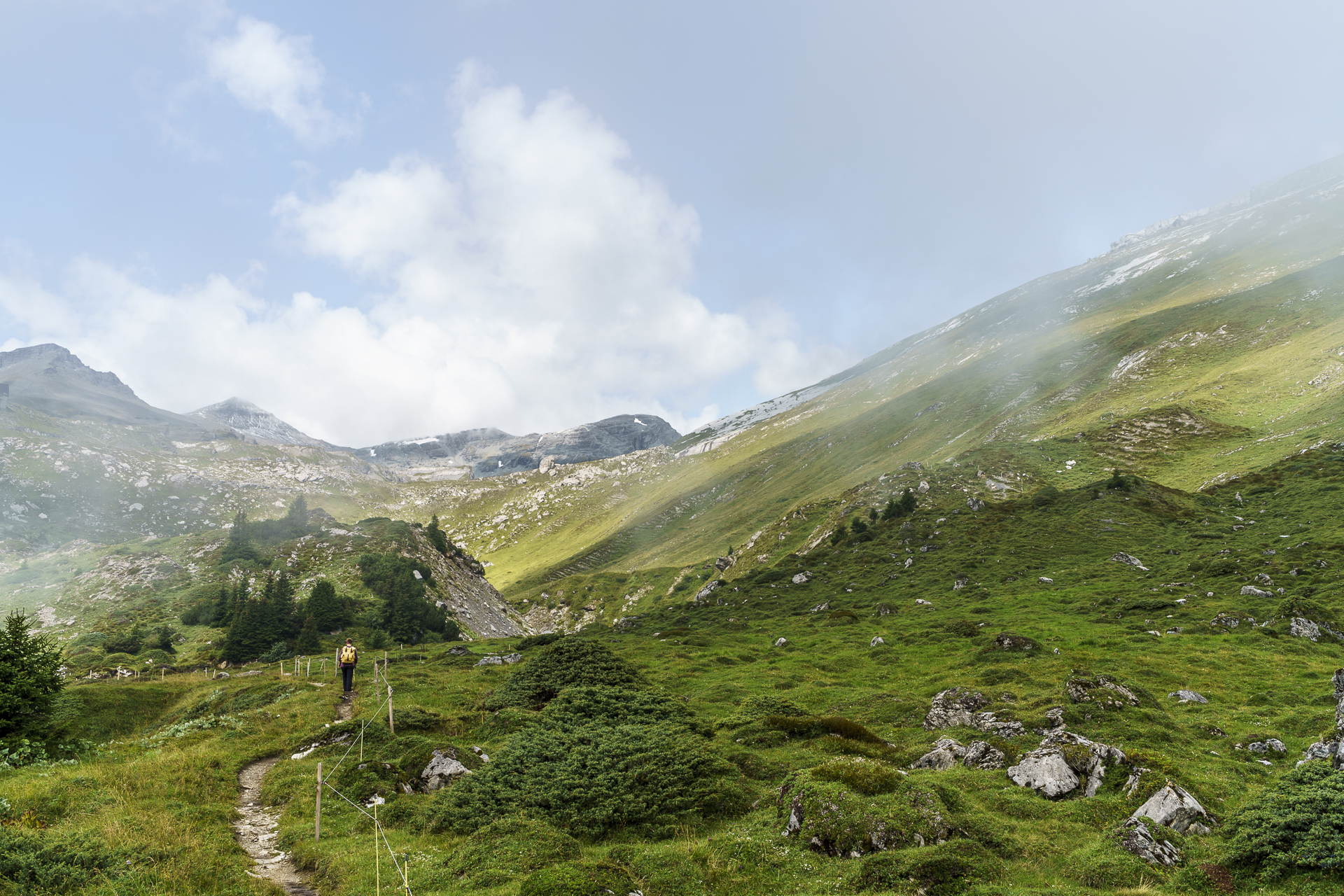
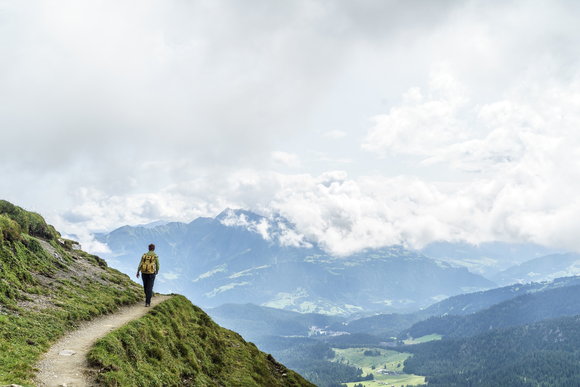
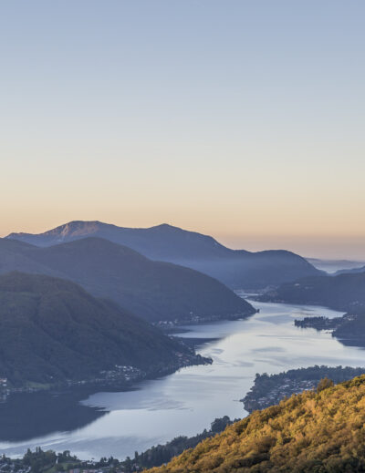
Only from the valley station of the Startgels cable car (with alpine pubs for an intermediate refreshment) do we start panting briefly. The forest is behind us. In front of us is a landscape whose vegetation reminds me of the Finnish archipelago, where the day before I admired the incomparable island landscape. Erika and juniper can be found here and there along the way. An hour and many meters of altitude later, geoguide Hans Conrad, with whom we spontaneously make acquaintance in the Segneshütte, explains to me how it is that many plant species of the Arctic flora overlap with that in the Alpine region. If you want to learn more about the flora, fauna and geology of the area, you can either visit the “Sardona World Heritage Site” visitor pavilion right next to the Segnes hut or take part in a guided hike by the GeoGuides.
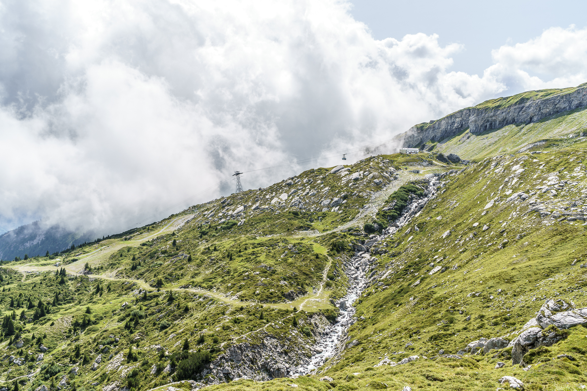


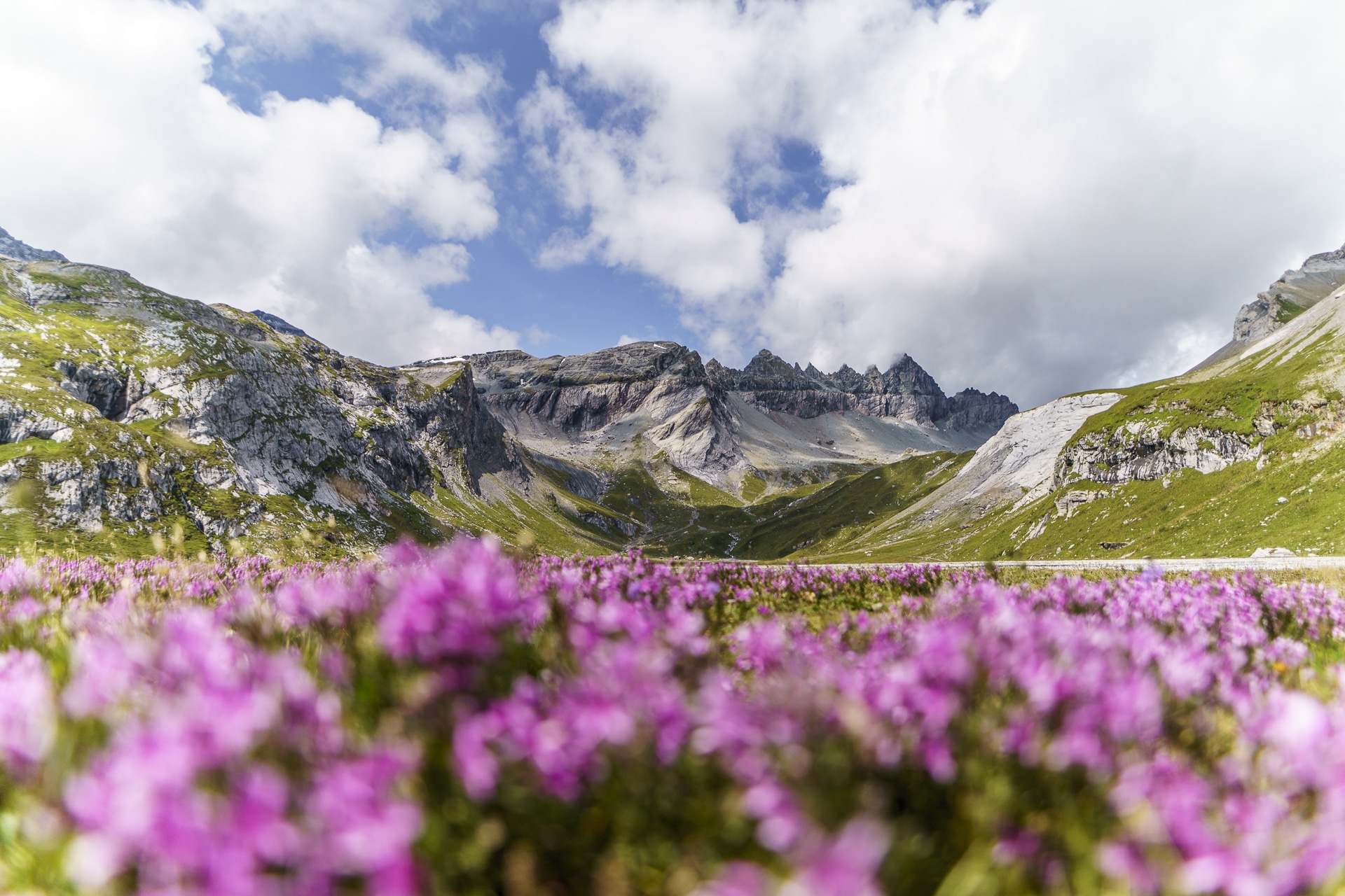
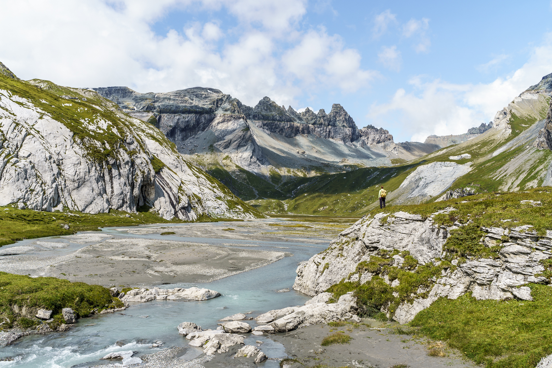
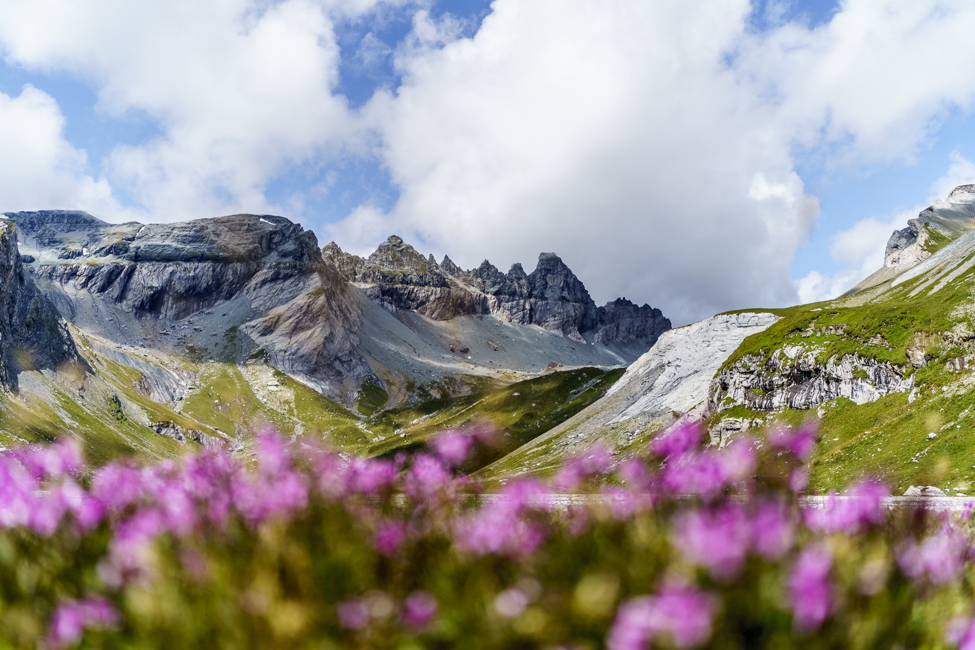
After a short rest, we continue our hike to the lower Segnesboden – the highlight of the hike. The view over the wide plateau with the striking Tschingelhörn in the background is simply great! And after so much spectacle, the last, one-hour walk to Naraus is only a must, despite the panoramic view down to Flims. But that’s totally okay. Finally, it’s easy on the knees to take the chairlift down to the valley. Conclusion: Great tour – also doable as a day trip from Zurich and the surrounding area.
Practical information, tips and map about the waterway in Flims
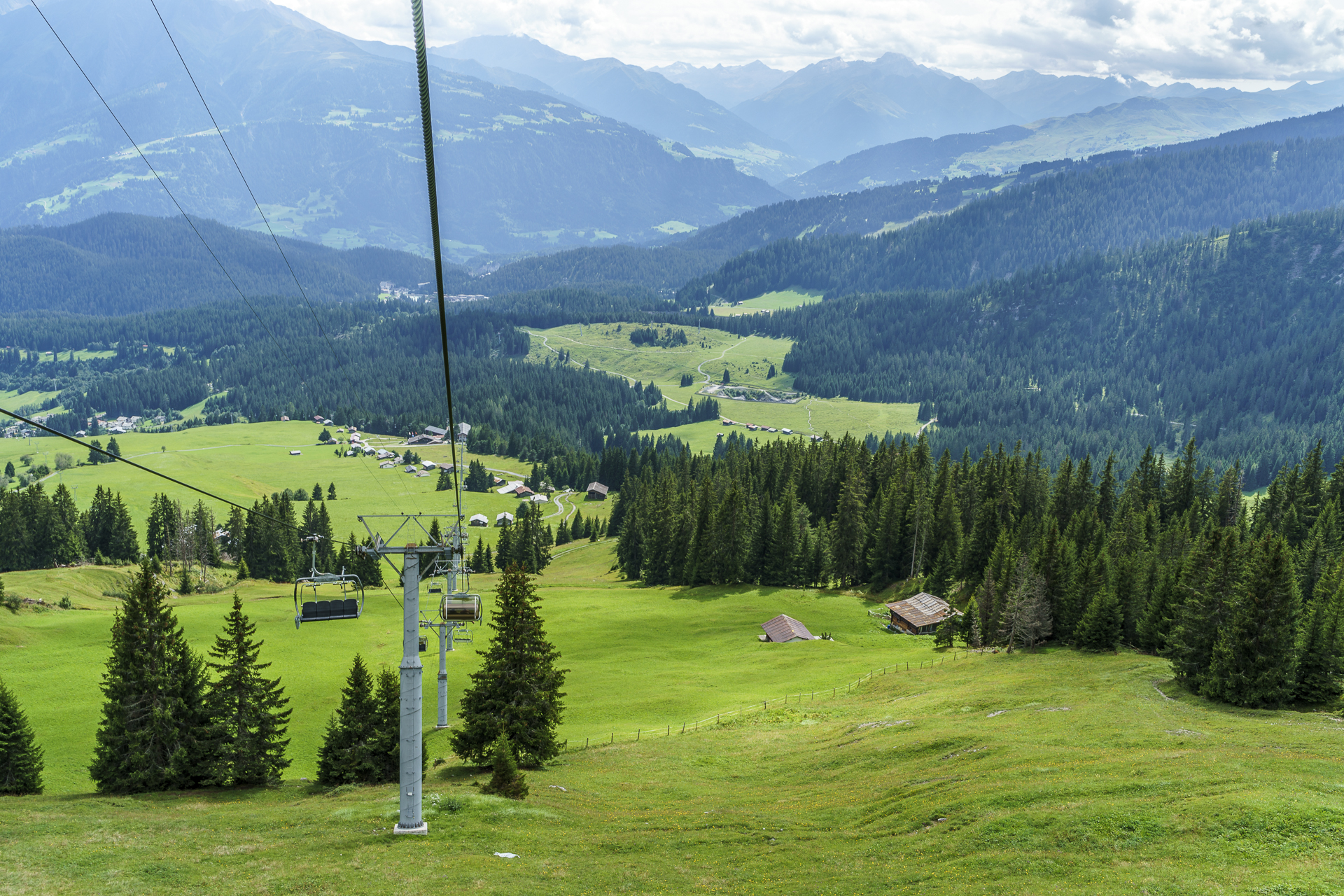
The route of the Flims waterway can be found on the map below. The distance along the Flem from Flims village to Naraus is about 13 kilometres. There is an ascent of 1,150 metres in altitude to overcome to the Segneshütte. The last section is mostly flat with a short descent at the end. The hiking time is about 5 hours. The starting point of the hike (Flims village, mountain railways) can be reached from Zurich with a change in Chur in just under 2 hours. The chairlift takes you down to the valley from Naraus via Foppa to Flims (cable car tickets can be purchased at the ticket machine at the Naraus mountain station). Of course, the hike can also be completed in the opposite direction.
You can find more information and route details about the Flims Waterway on wanderland.ch.
Key data of the hike along the Flims waterway
| Starting point | Flims Village |
| Length | 12.91 kilometers |
| Elevation gain | ↗ 1,080 m 372 m ↘ |
| Duration | 4:43 p.m. |
| Destination | Naraus |

Leave a Reply