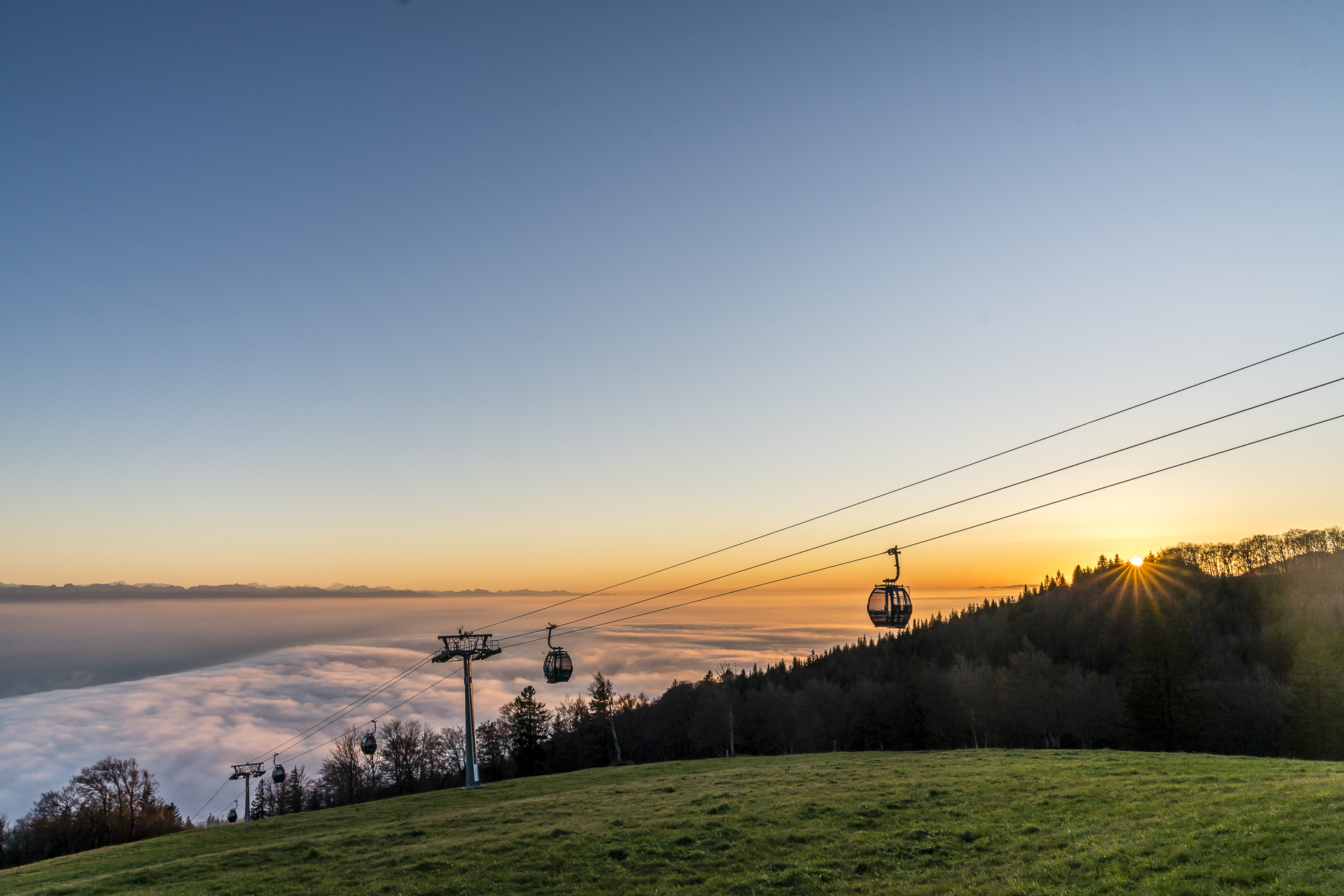
3 good reasons for a hike to the Weissenstein via Verenaschlucht
Four years ago, we discovered that Solothurn’s local mountain is a worthwhile excursion destination for the transitional season in spring and autumn. At that time, we took advantage of a beautiful spring day for a hike along the Jura High Trail from Weissenstein to Balsthal. Last week we went to the scenic ridge again. In the following, I will reveal the three reasons that led us to this spontaneous autumn trip.
1. Because many paths lead to Solothurn’s local mountain (for example, the hike via the Verena Gorge)
A detour to the Weissenstein can be combined with a stroll through Solothurn or a leisurely autumn hike through the deciduous forests at the foot of the Jura chain. This also includes the romantic path through the Verena Gorge.
The walk through the pretty town centre of Solothurn to the hermitage of St. Verena is particularly attractive now in autumn. The entrance to the Schluchtenweg is located behind the cantonal school on the northern outskirts of Solothurn. The path was “artificially” created by a French baron in the 18th century and is now one of the most important landscape gardens in Switzerland. We follow the winding path uphill along a peacefully babbling brook.
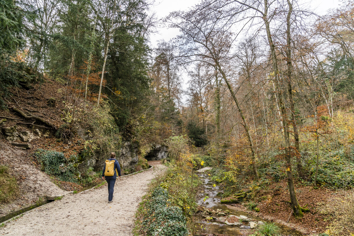
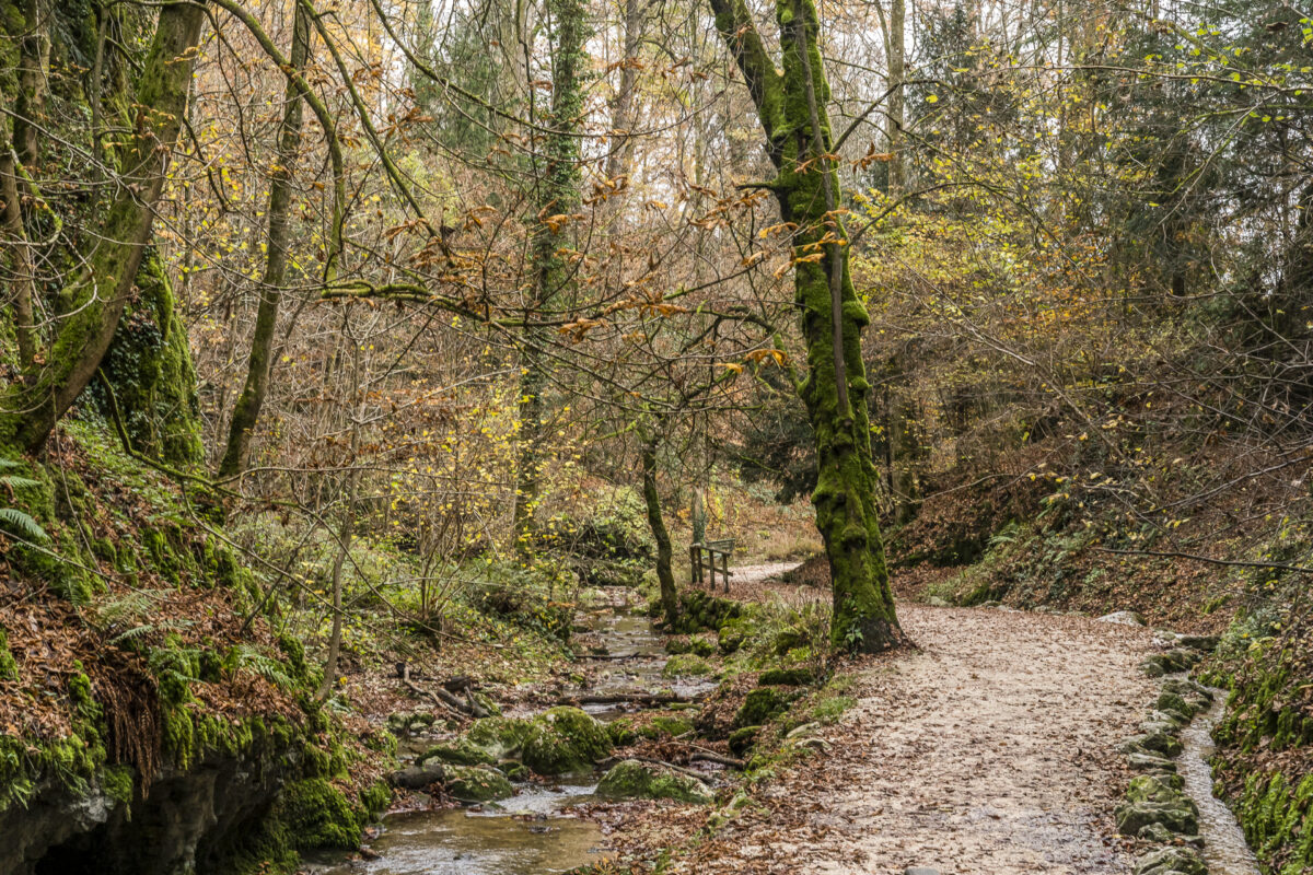
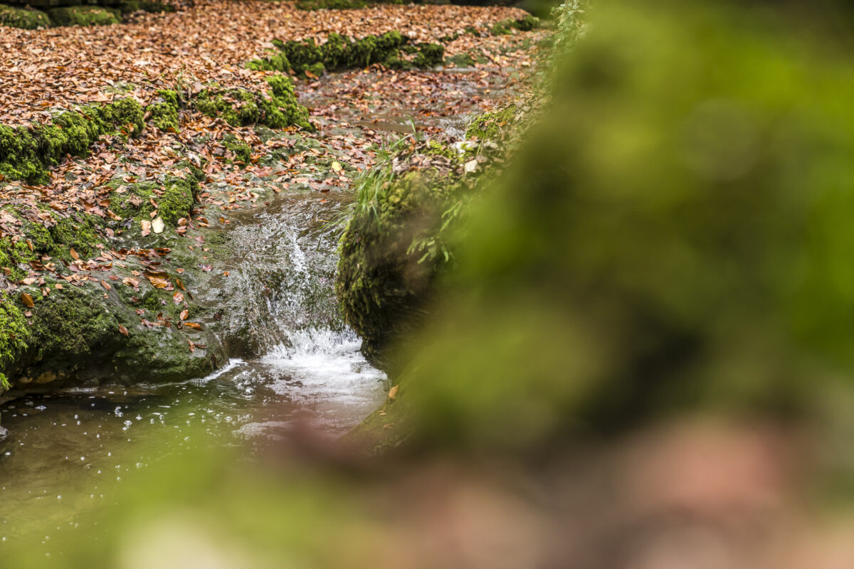
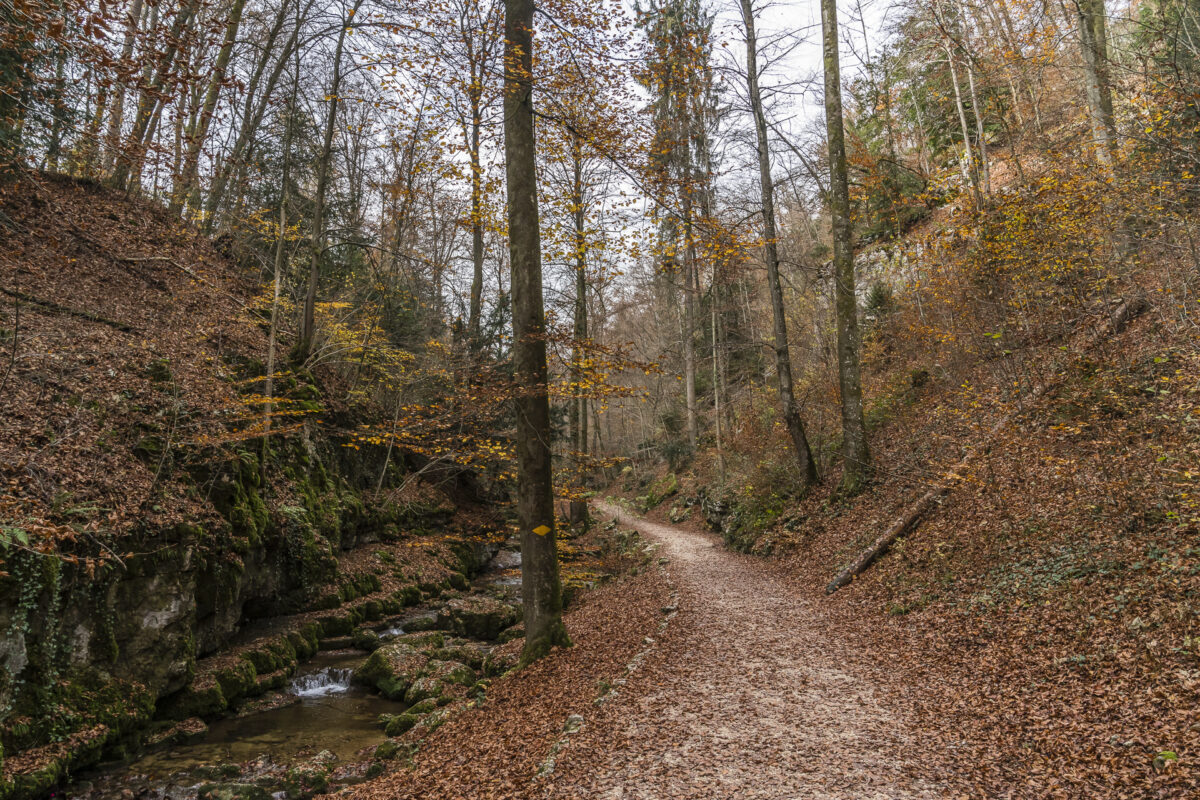
The Gorge Path leads directly to the hermitage of St. Verena. The history of the Hermitage with two chapels and a cute hermit’s cottage can be traced back to the 15th century. By the way, photography is prohibited around the hermitage. In 2019, the community of Solothurn issued new regulations with the aim of preserving the hermitage as a “place of silence”. It is all the more worthwhile to take a closer look at the entertaining forest path through the Verena Gorge yourself and pay a visit to the place of power.
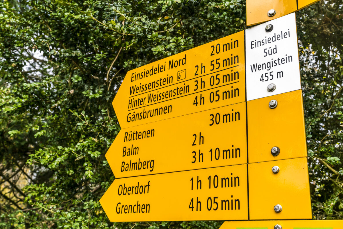
Once the Verena Gorge has been crossed, the hiking trail follows along the outskirts of Rüttenen towards Oberdorf. Depending on your mood, you can hike directly from here to the Weissenstein or switch to the cable car for the steep part.
Key data of the hike Solothurn – Verena Gorge – Oberdorf
The following map shows the route of our hike from Solothurn train station through the Verena Gorge to Oberdorf. It is an easy hiking trail (difficulty T1) that runs mostly on wide gravel paths. The Verena Gorge is also passable with prams.
| Starting point | Solothurn Railway Station |
| Length | 7.2 kilometres |
| Elevation gain | ↗ 265 m 50 m ↘ |
| Duration | 2:00 p.m. |
| Destination | Valley station Weissenstein cable car/train station Oberdorf SO |
2. Because the Weissenstein beckons with its far-sightedness even on grey autumn days
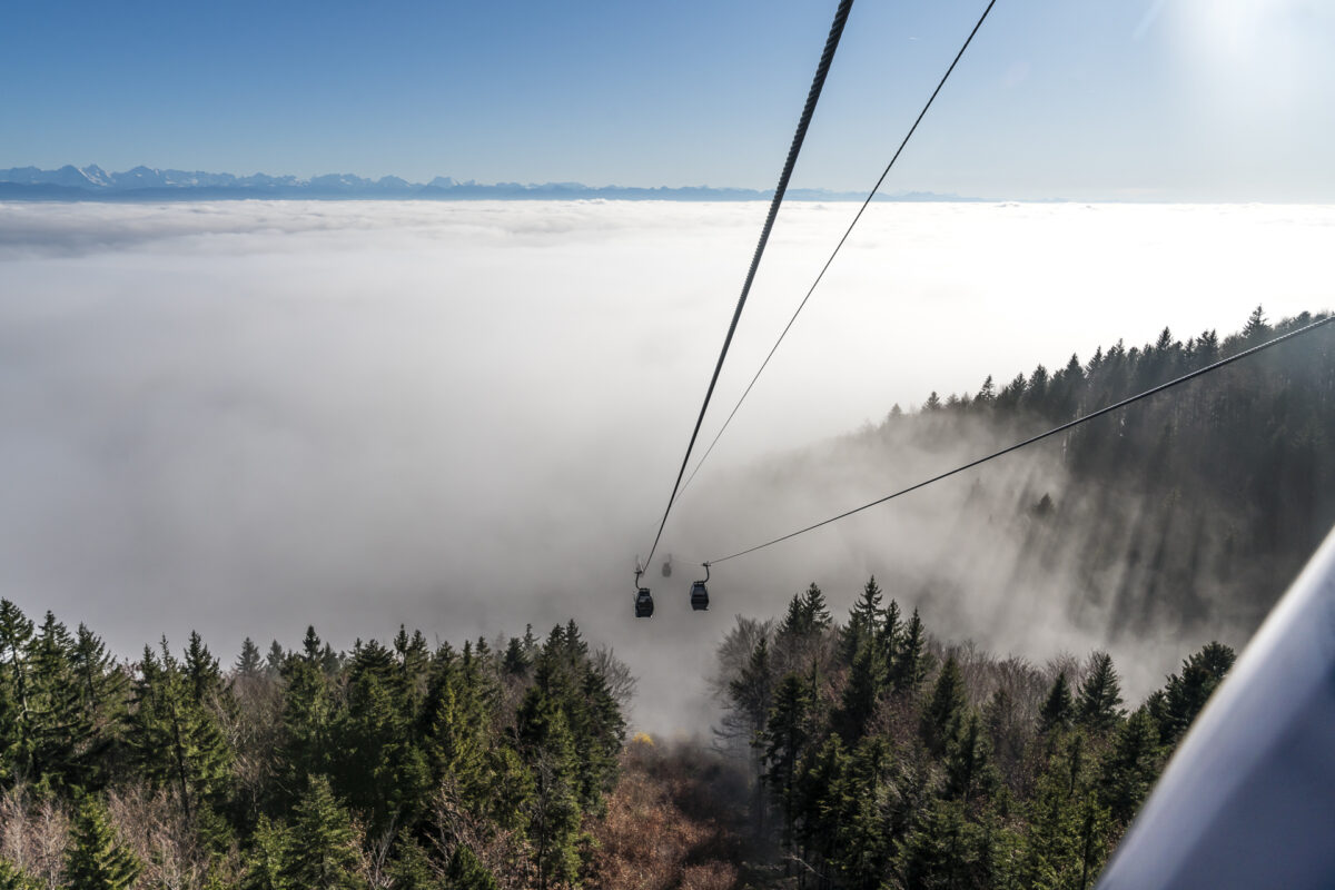
We started the hike through the Verena Gorge with the intention of hiking on foot to the Weissenstein. But as soon as the Weissenstein cable car comes into our sight, the good intentions begin to falter. To trudge through the damp fog for another 1.5 hours or to let yourself be gondola to the sun terrace on the Weissenstein at the top in a few minutes? We don’t have to think about it for long. The option of a relaxing siesta in the sun seems too tempting. In addition, we did some sports on the almost 8 kilometers from Solothurn train station to the valley station of the Weissenstein cable car.
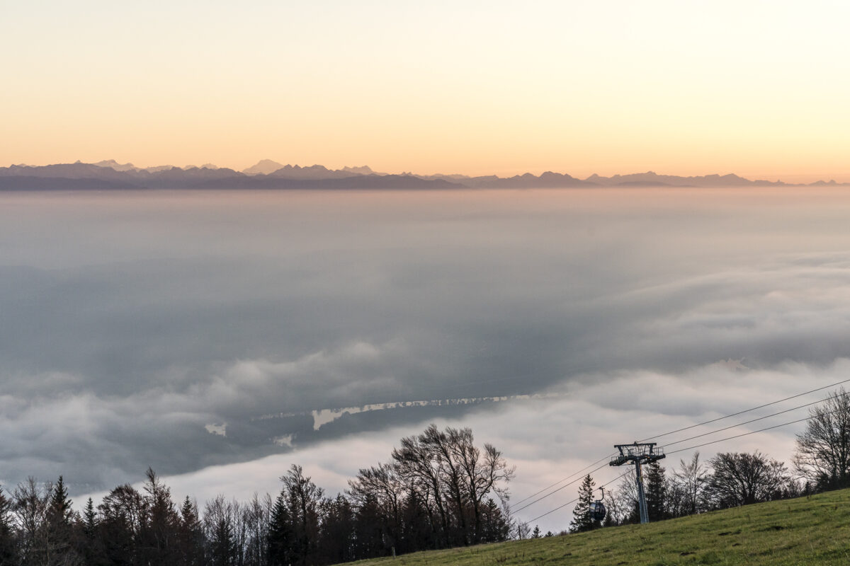
Reason number two, why we spontaneously decided to make a detour to the Weissenstein on this day, is now also obvious. Solothurn’s local mountain, with its almost 1,300 metres above sea level, is a guarantee for far-reaching views over the sea of fog on many high fog days. It is advisable to check the forecasts for the upper limit of high fog in advance or to consult the webcam on the Weissenstein (better safe than sorry) – and then nothing stands in the way of that “wow” moment when you break through the high fog cover with the gondoli.
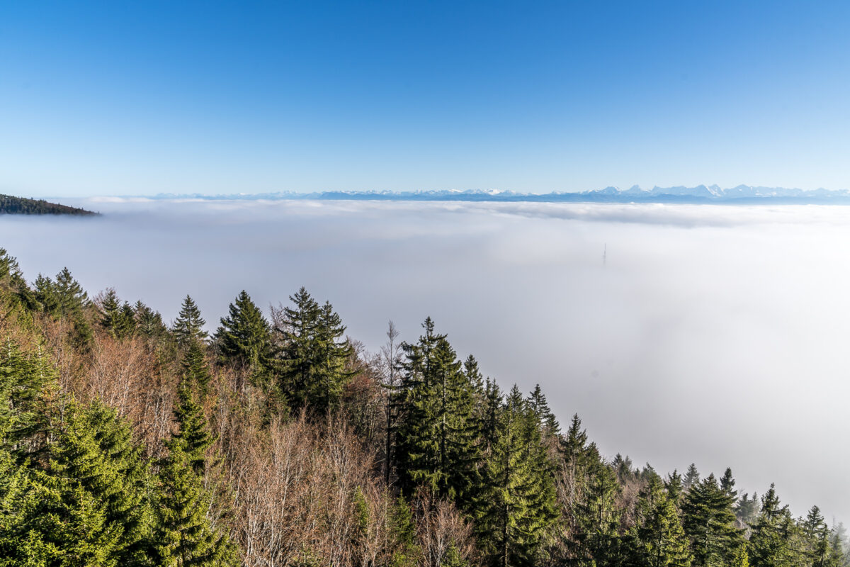
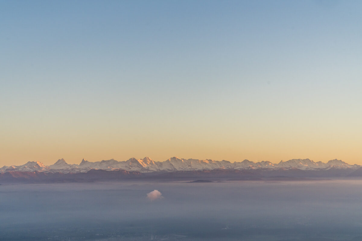
The self-service restaurant on the Weissenstein is currently closed (due to Corona). But on nice days, the sun terrace of the serviced restaurant invites you to spend cosy hours with a view over the sea of fog to the Bernese Alps.
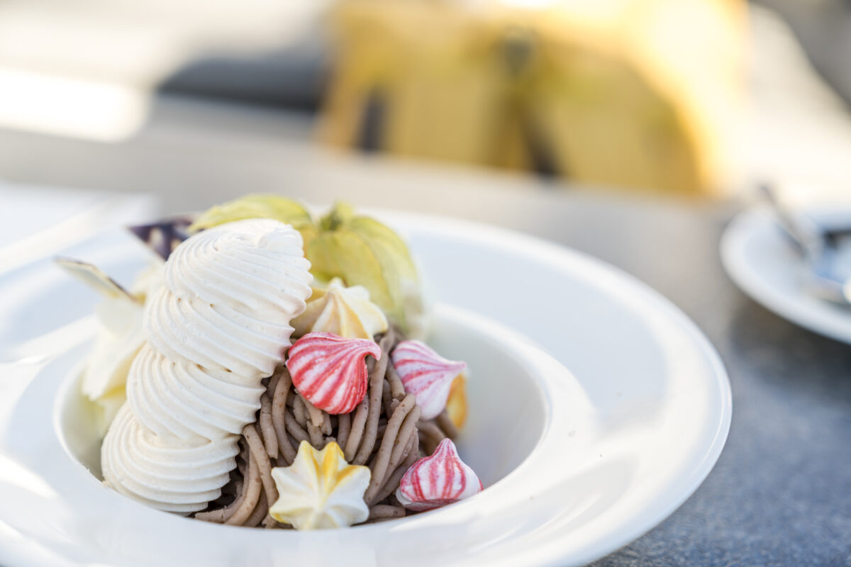
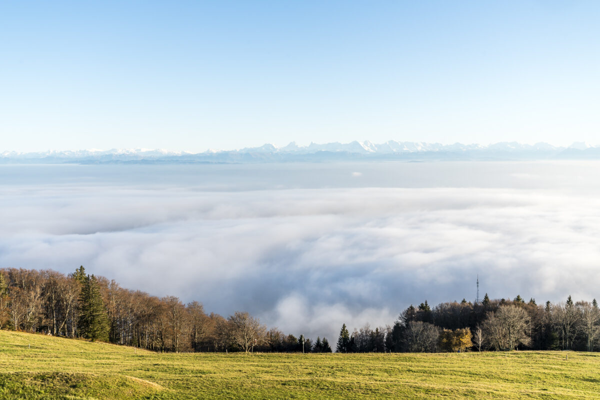
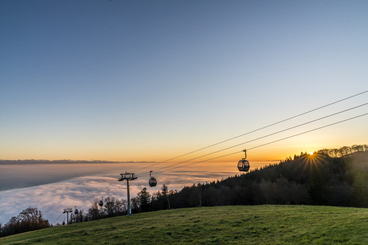
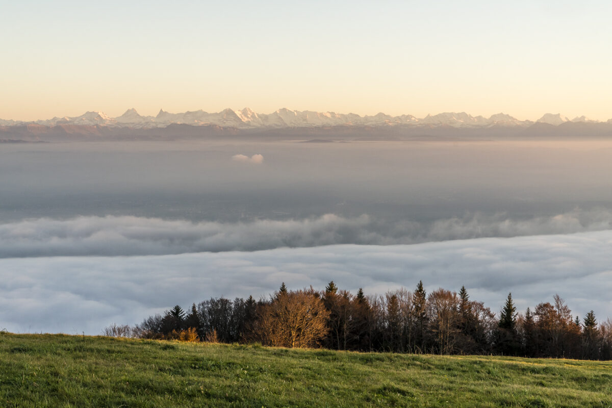
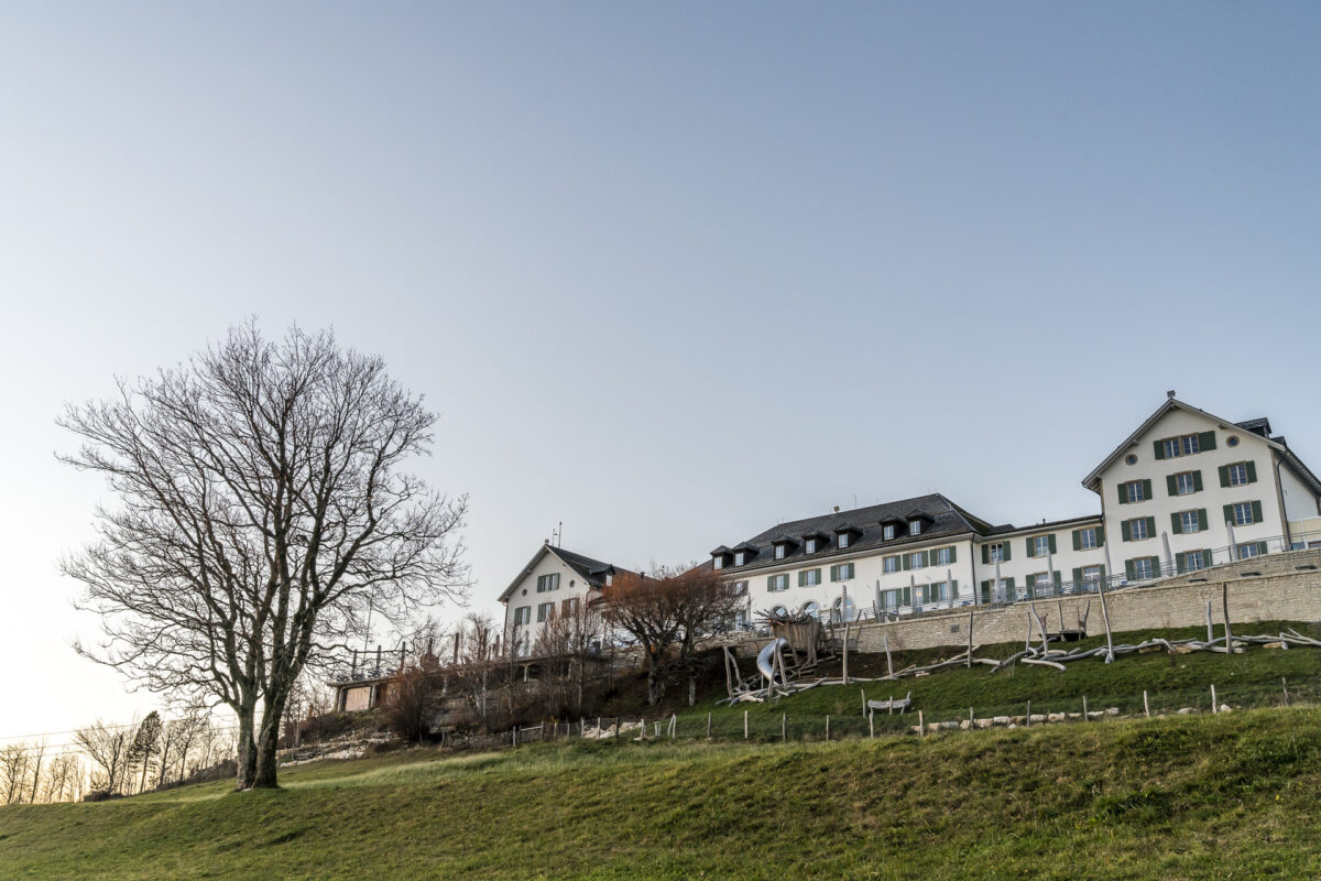
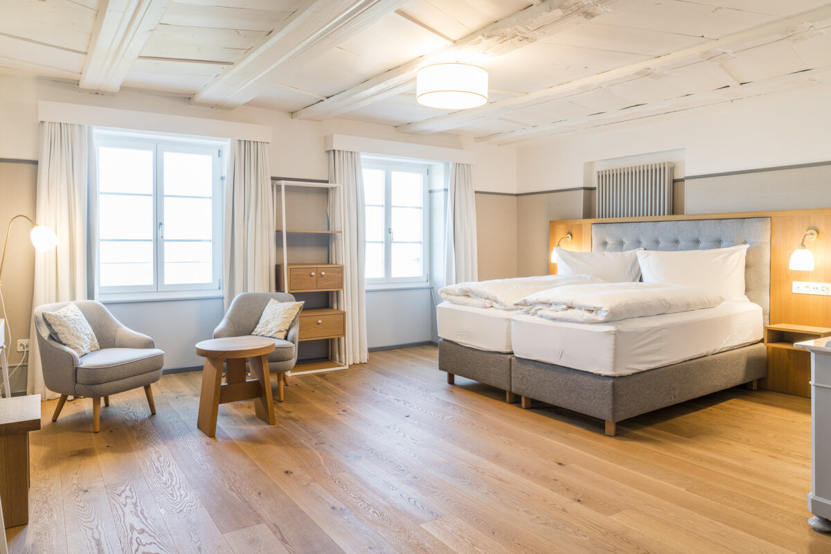
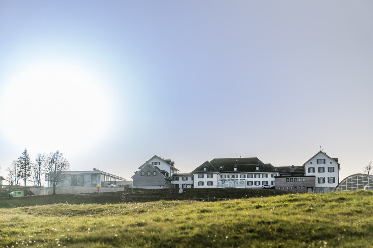
Last year, the Hotel & Kurhaus Weissenstein reopened after extensive renovation work. The newly designed hotel rooms not only impress with an invitingly airy and bright appearance, but are also really inexpensive (budget rooms from 81 CHF per night). If you want to have a guaranteed view of the south, you have to dig a little deeper into your wallet (from 157 CHF per night), but there is an unobstructed view of the proud four-thousand-metre peaks of the Bernese Alps from your room. And I can assure you, a short break in the form of a night up here high above the grey fog blanket is a real blessing, especially in the unpopular and often somewhat depressing November!
3. Because the Weissenstein is located directly on the Jura High Trail
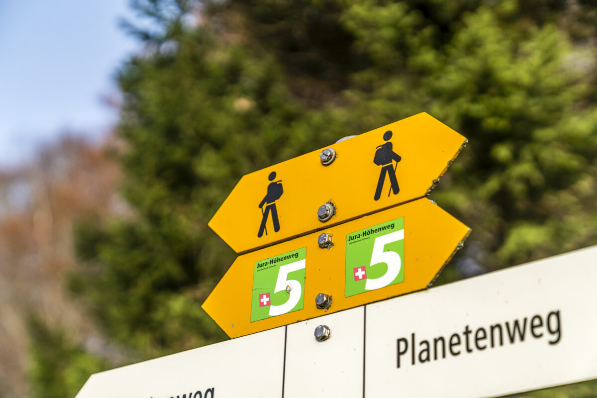
The Weissenstein is the starting and finishing point of the Jura High Trail stages 5 and 6. Thus, the short break in the historic walls of the Kurhaus can also be combined with a two-day hike on the Jura High Trail or alternatively combined with a long-distance hike in the direction of Frinvillier or Balsthal.
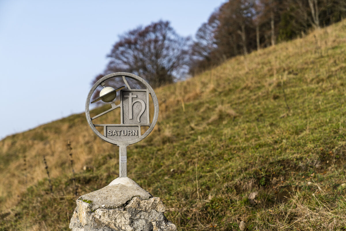
Since we already know stage 5 to Balsthal, this time we follow stage 6 over the Hasenmatt to the Grenchenberg. This section of the trail is also part of the Weissenstein Planet Trail. In most sections of its total of 320 kilometres, the Jura High Trail runs at altitudes between 1,000 and 1,500 metres above sea level and is therefore usually easy to walk on until well into autumn.
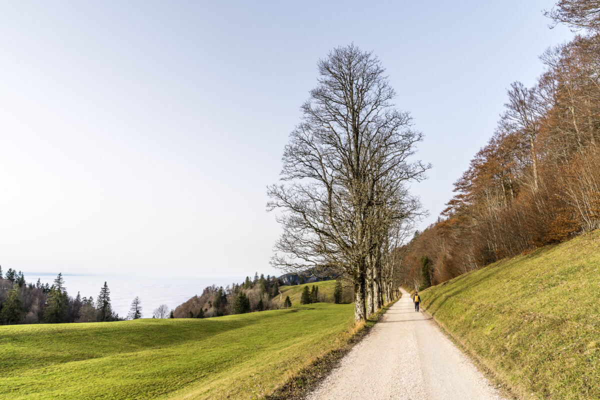
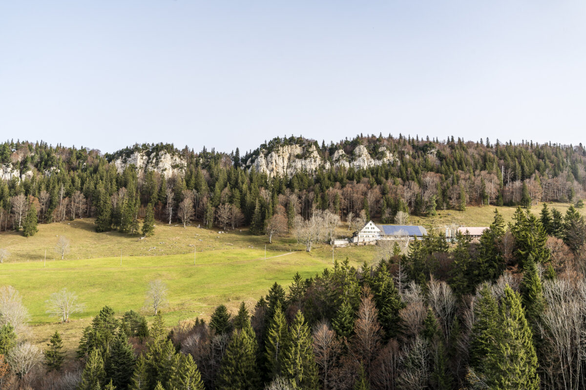
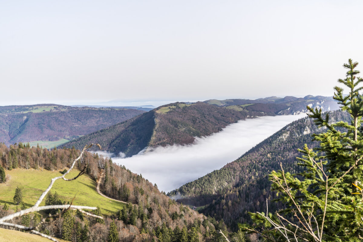
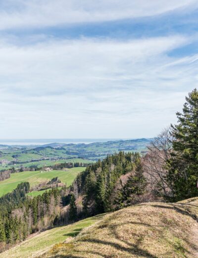
The sixth stage first follows a wide gravel path that leads to Hinterweissenstein. After Hinterweissenstein, the gravel path turns into a narrow nature path that leads up to Hasenmatt via Gitziflue. Up here, a magnificent panoramic view opens up to us, reaching from the Alps to far beyond the Jura chain. On foggy days, the view is particularly impressive, as the “humps” of the Jura chain rise out of the fog like islands.
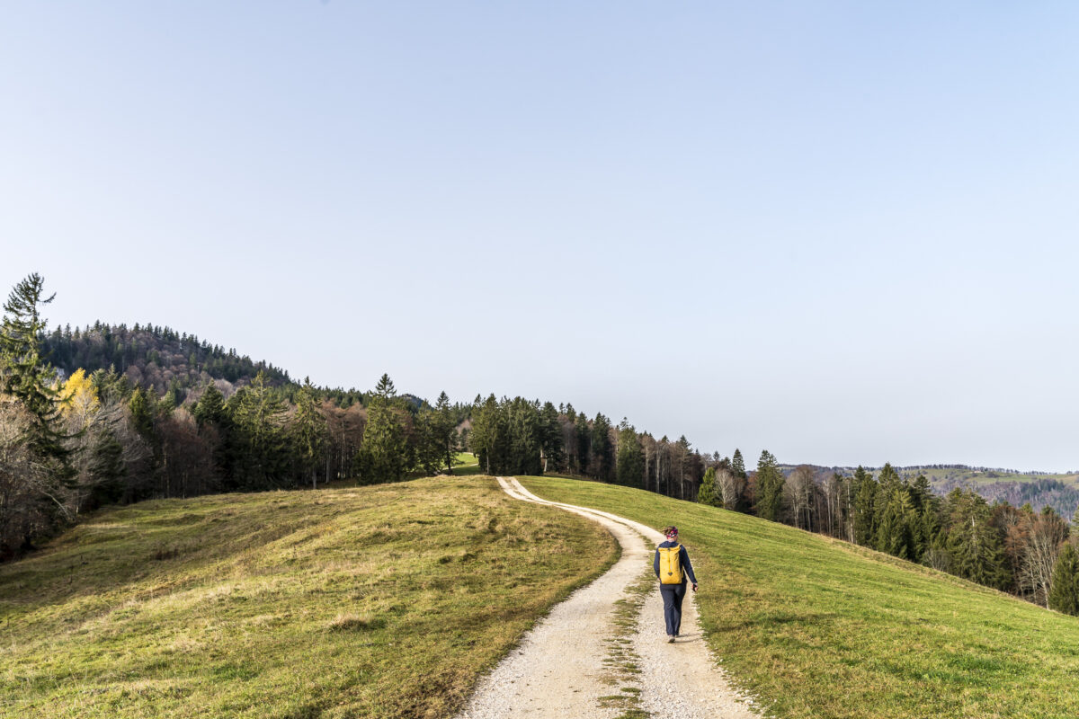
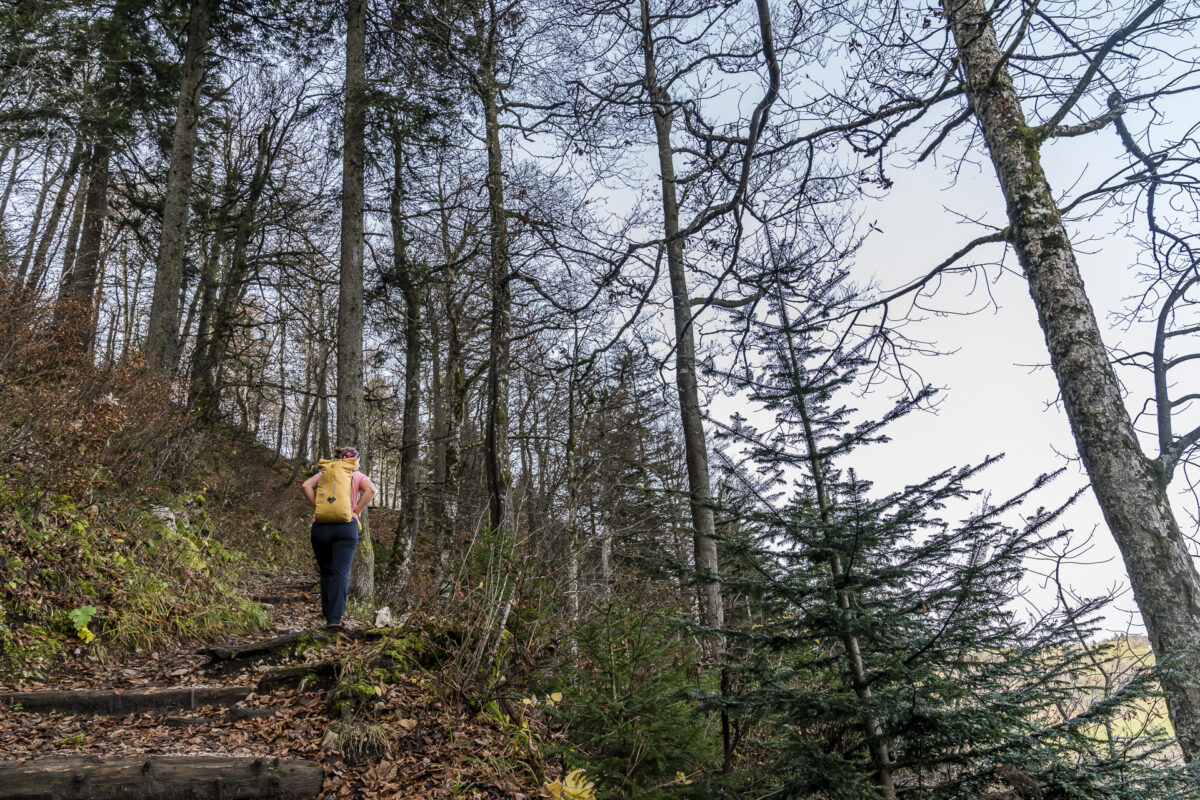
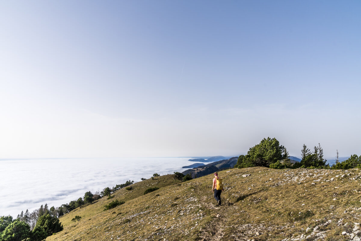
From the Hasenmatt, the trail leads down a few metres in altitude to the saddle above the Schauenburg, and then climbs back up to the plateau of the Stallflue – part of the Grenchenberg. The imposing plateau of the Stallflue is followed by a varied part of the path along the Küferegg to the Obergrenchenberg. I like the varied route on this section of the route and the nature trails, which are mainly narrow, with the exception of the first section of the trail.
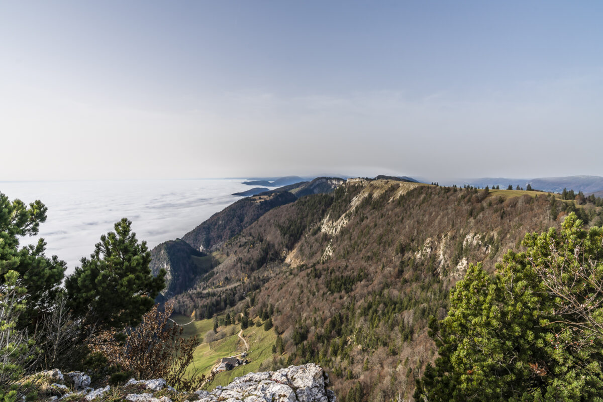
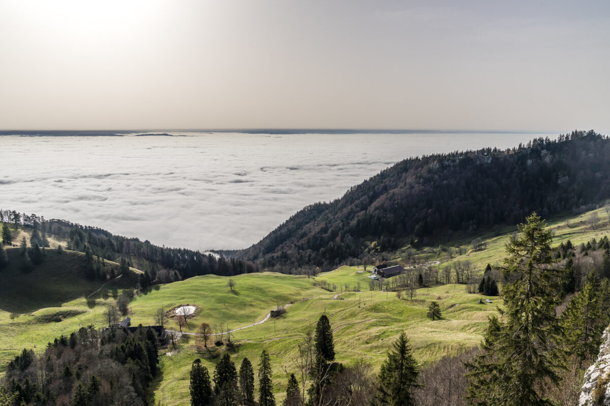
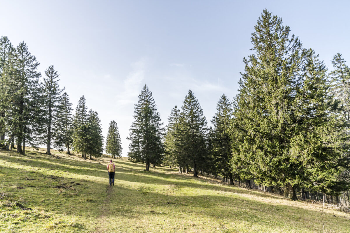
Less than a 25-minute walk to Obergrenchenberg is the Untergrenchenberg mountain restaurant. Here, after a brisk, 3.5-hour hike with great views, we end the tour and, after 24 hours of sunny foresight, return to the November grey. There is even more sunshine for all those who continue hiking from the Grenchenberg to the stage destination of the 6th stage of the Jura High Trail (Frinvillier near Biel). For this, about three additional hours of hiking must be calculated.
Key data of the hike Weissenstein – Grenchenberg (Jura High Trail Stage 6)
The following map shows the route of our tour from the Weissenstein to the Grenchenberg. It is a T1/T2 hiking trail. There are narrow and occasionally sloping sections. After heavy rainfall, the trail can also become relatively muddy – so good footwear is recommended. From Untergrenchenberg there is a bus connection down to Grenchen. The Untergrenchenberg mountain restaurant is open Tuesday to Sunday (closed on Mondays).
| Starting point | Mountain station of the Weissenstein cable car |
| Length | 11.5 kilometres |
| Elevation gain | ↗ 544 m 524 m ↘ |
| Duration | 3:45 p.m. |
| Destination | Bus stop Grenchen, Unterer Grenchenberg |
Practical tips for your trip to the Weissenstein
The Weissenstein cable car is in continuous operation during the winter timetable (from the beginning of November) from Monday to Sunday between 8:30 a.m. and 4:30 p.m. (or 4:45 p.m. on Sundays and public holidays). From 30 November 2020 to 4 December 2020, the railway will be under overhaul (no operation). GA travelcard and Half-Fare travelcard are valid (half price).
The Hotel & Kurhaus Weissenstein is also open all the time. However, due to the current situation, there may be adjusted opening hours or a reduced culinary offer. It is best to consult the hotel website before your trip.


Leave a Reply