Walenpfad: Hike from Brunni to Bannalp
For a series of articles that you can read here in August, we “had” to go to Engelberg twice in the past few weeks. According to the plan, only a day trip to Engelberg would have been planned. However, due to capricious weather, the main character of the story was completely surrounded by clouds during our first detour and so we gave him a second chance last week. And since I don’t like to do the same thing twice, we took the opportunity to explore the whale trail. This high-altitude hiking trail leads from the Brunni area above Engelberg to the Bannalp area in just over three hours and delights with charming vantage points along the way.
Whale trail from Brunni to Bannalp
As soon as we had the necessary pictures for the August article in the can, we headed for the valley station of the Brunni cable cars in Engelberg. The Brunni area is a popular destination for families and paragliders and on such a wonderful summer holiday day, the gondola fills up so quickly that we don’t have to wait 20 minutes for the next scheduled departure. Actually, the whale trail starts at the Ristis mountain station at 1,600 m above sea level. But since the chairlift from Ristis up to the Brunnihütte is also in operation, we decide without further ado to overcome the first 250 meters of altitude in the lazy way. And so we start the whale trail at the Brunni hut. The wall trail leads right next to the Härzlisee with its “Kitzelpfad” (a beautifully laid out barefoot circuit) and then follows the contour lines to the Rosenbold vantage point.


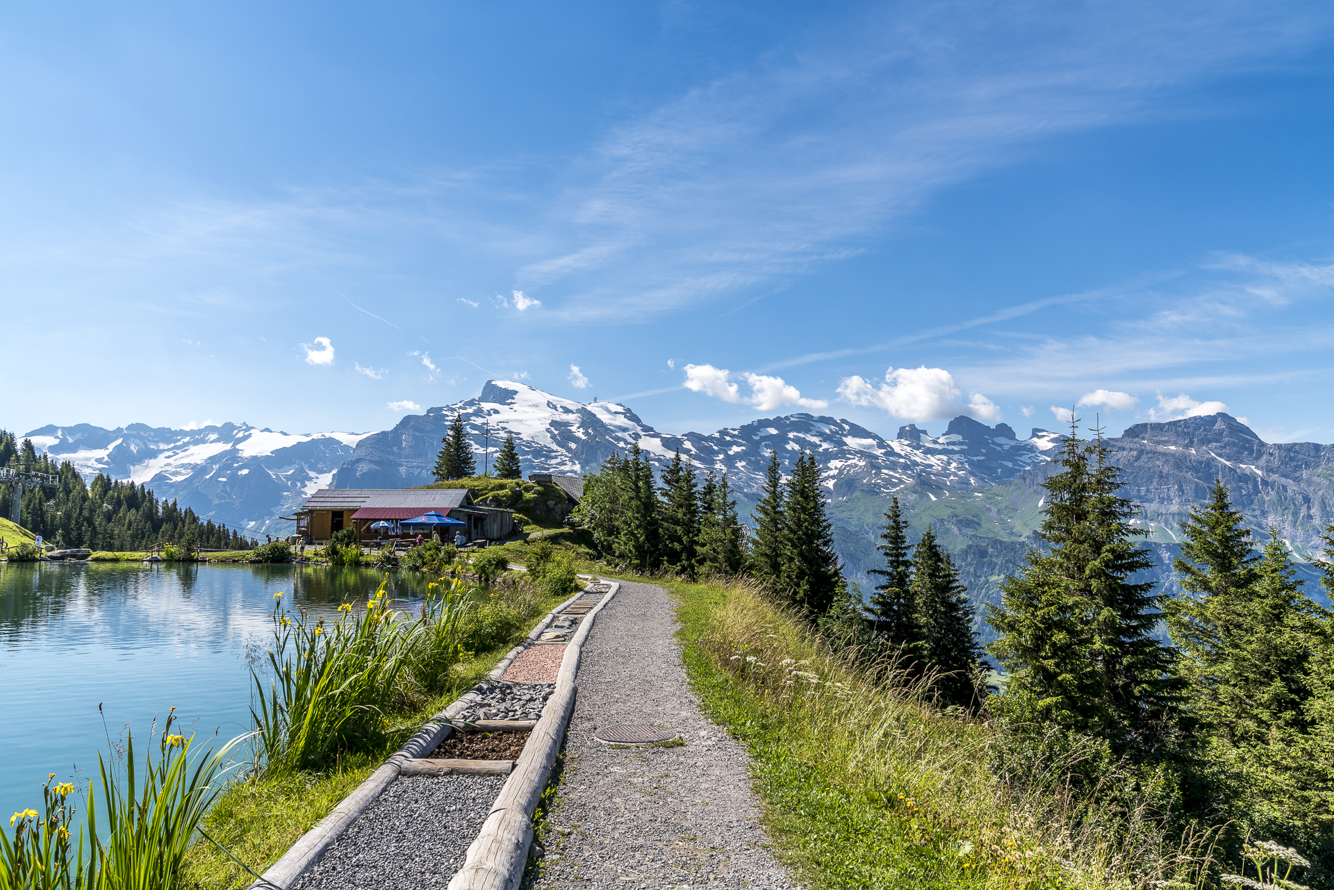
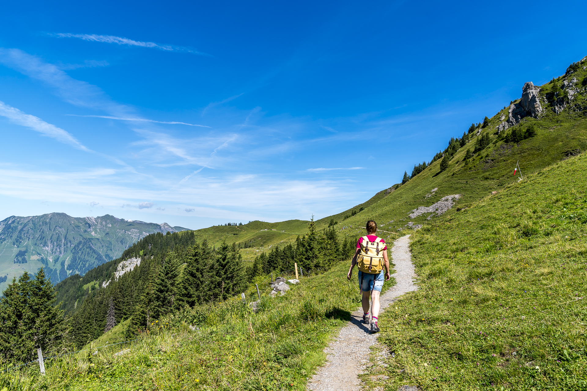
After a small hairpin bend, the Walenpfad leads along the rocky flanks of the Walenstock downhill to Walenalp. The forest section in between provides a welcome cooling on this hot summer day. The Swiss family Feuerstelle on the Walenalp is a popular stopover – but we are on our way quickly and pass the place without stopping. I don’t like breaks before climbs and exactly this one tough climb to Walegg at 1,950 m above sea level is still ahead of us.


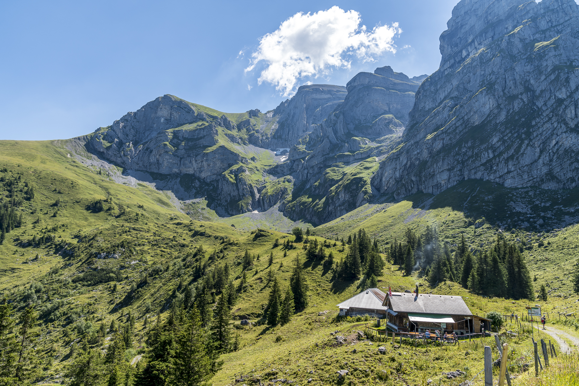
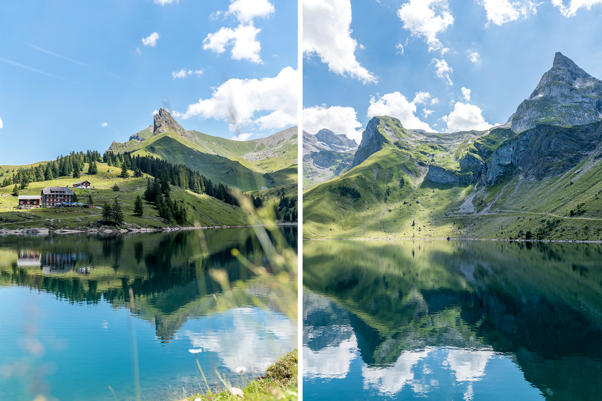
View of the Bannalpsee
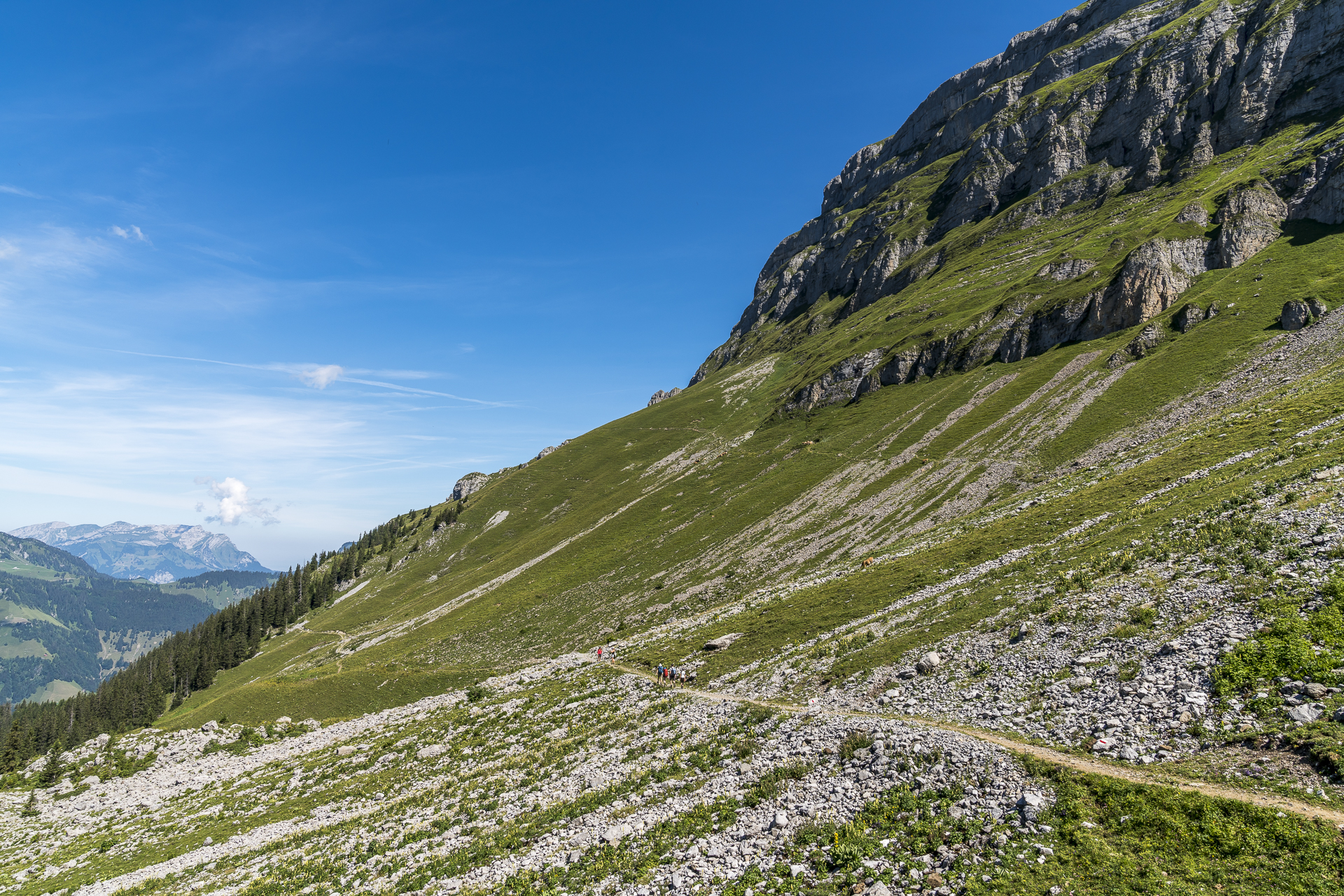
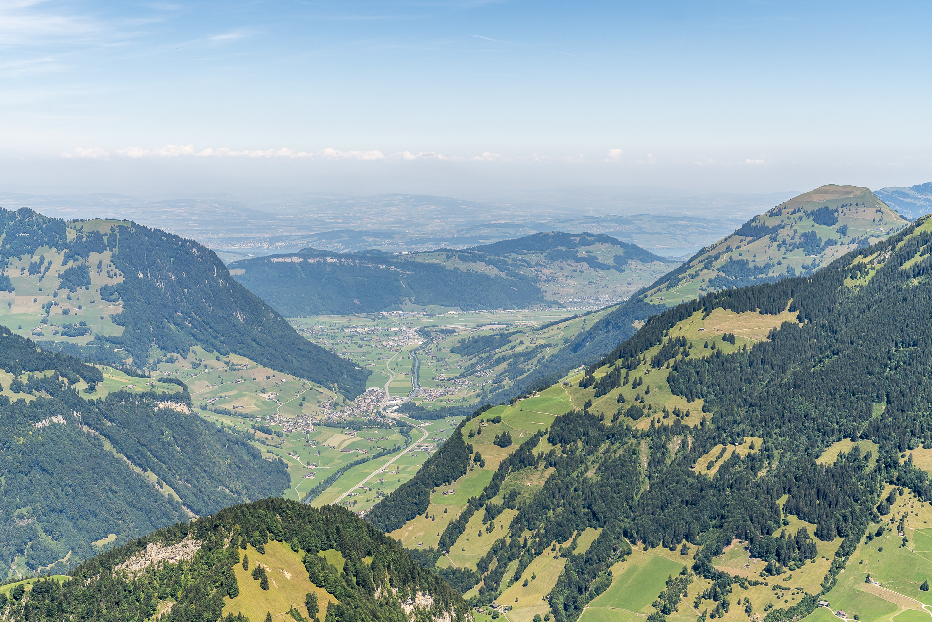
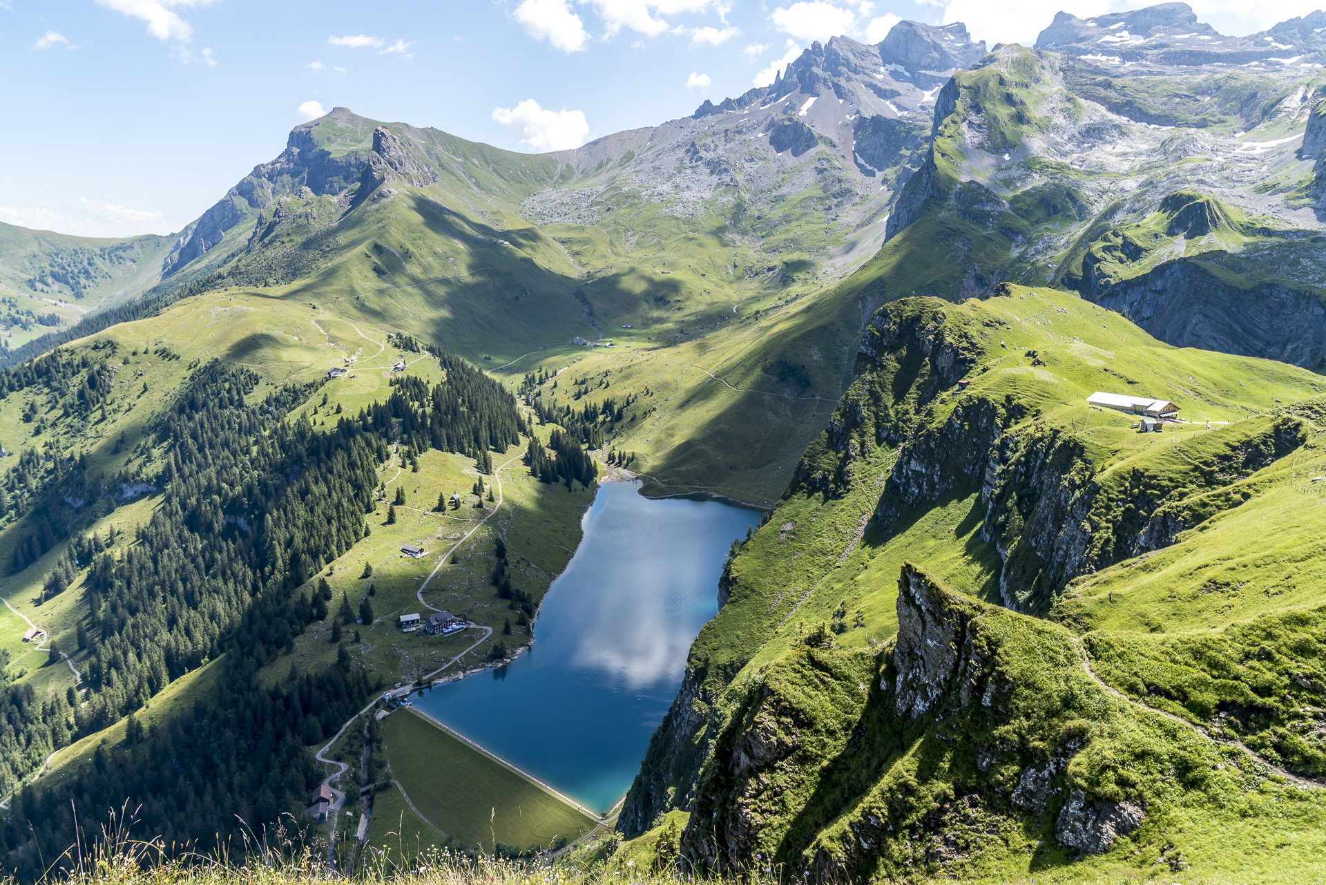
Accompanied by the tinkling of cowbells, we hike uphill across the alpine pastures. After a good thirty minutes (a little faster than signposted) we have mastered the altitude meters. At the top, we pause briefly and admire the panorama from the Nidwalden Valley towards the Mittelland. In the direction of Bannalp, the landscape with rugged rock flanks, scree slopes and jagged peaks is much “wilder” than on the first section of the Walenpfad. We continue on a narrow sloping (but well secured) path towards the Oberfeld alpine hut and catch the first impressive view of the Bannalpsee. This vantage point is probably undisputedly the prime piece of the high-altitude hike.
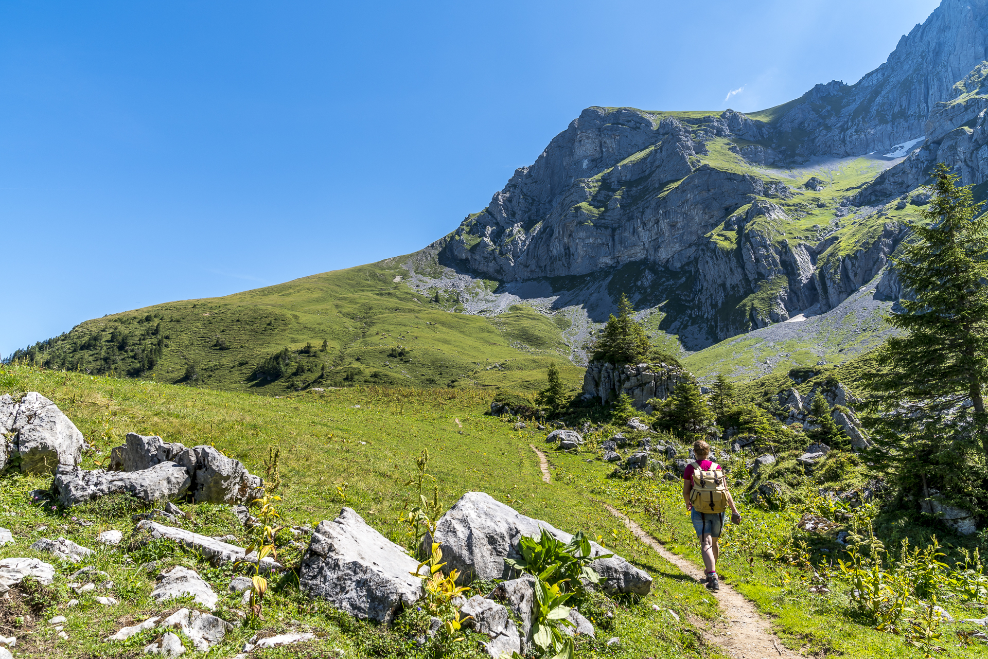
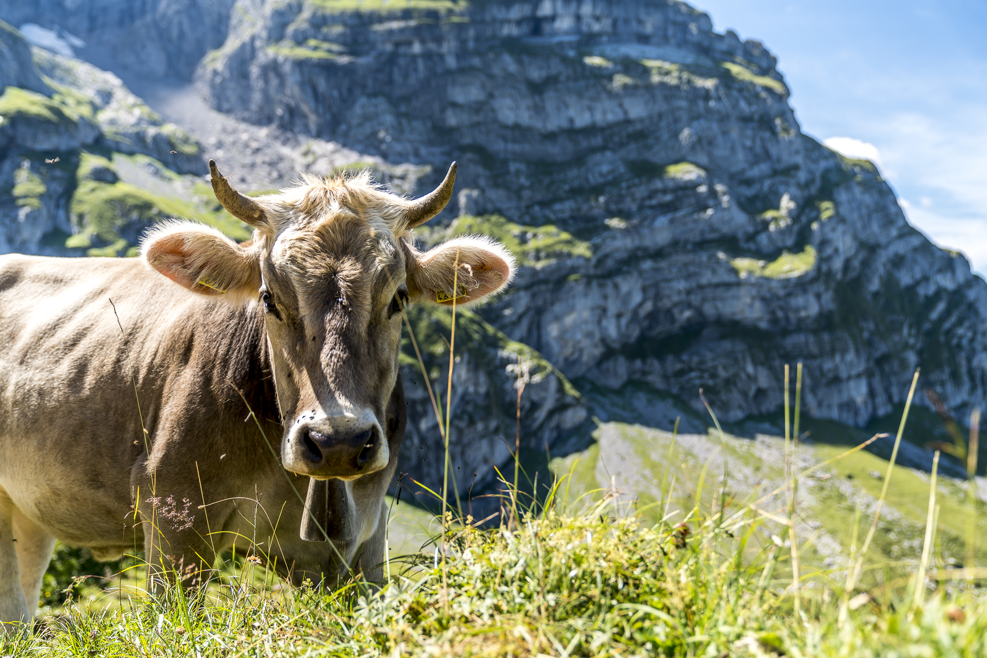
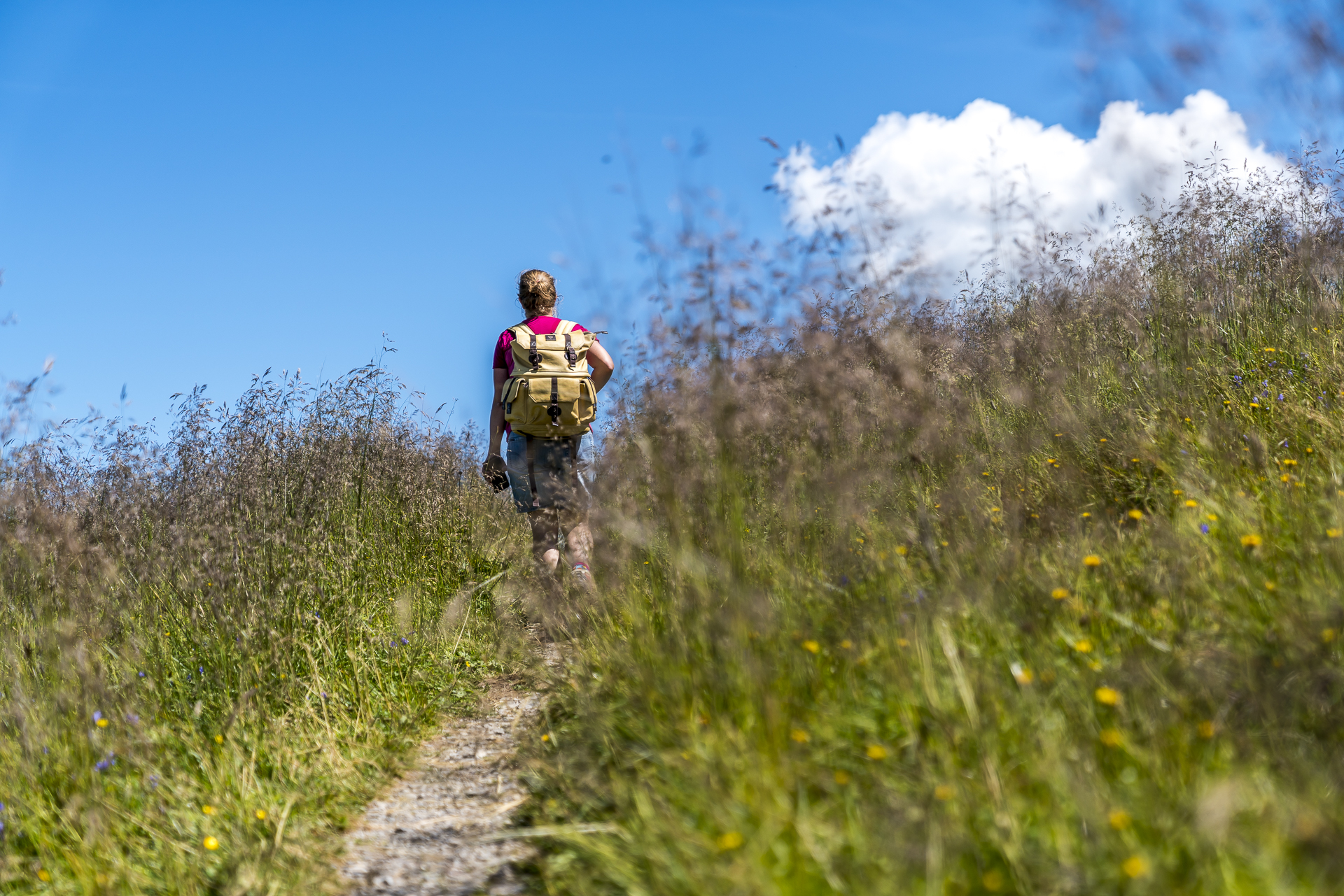

On Alp Oberfeld, it’s worth taking a look into the small “Hoflädeli”. There, goat cheese produced on the alp is sold directly. Unfortunately, we didn’t discover the goats themselves anywhere, but a gentleman showed me on the sun terrace of Alp Oberfeld where the stone goats are located, which he observes with binoculars. We have a short chat before we continue our hike in the direction of Bannalp in a high alpine atmosphere.
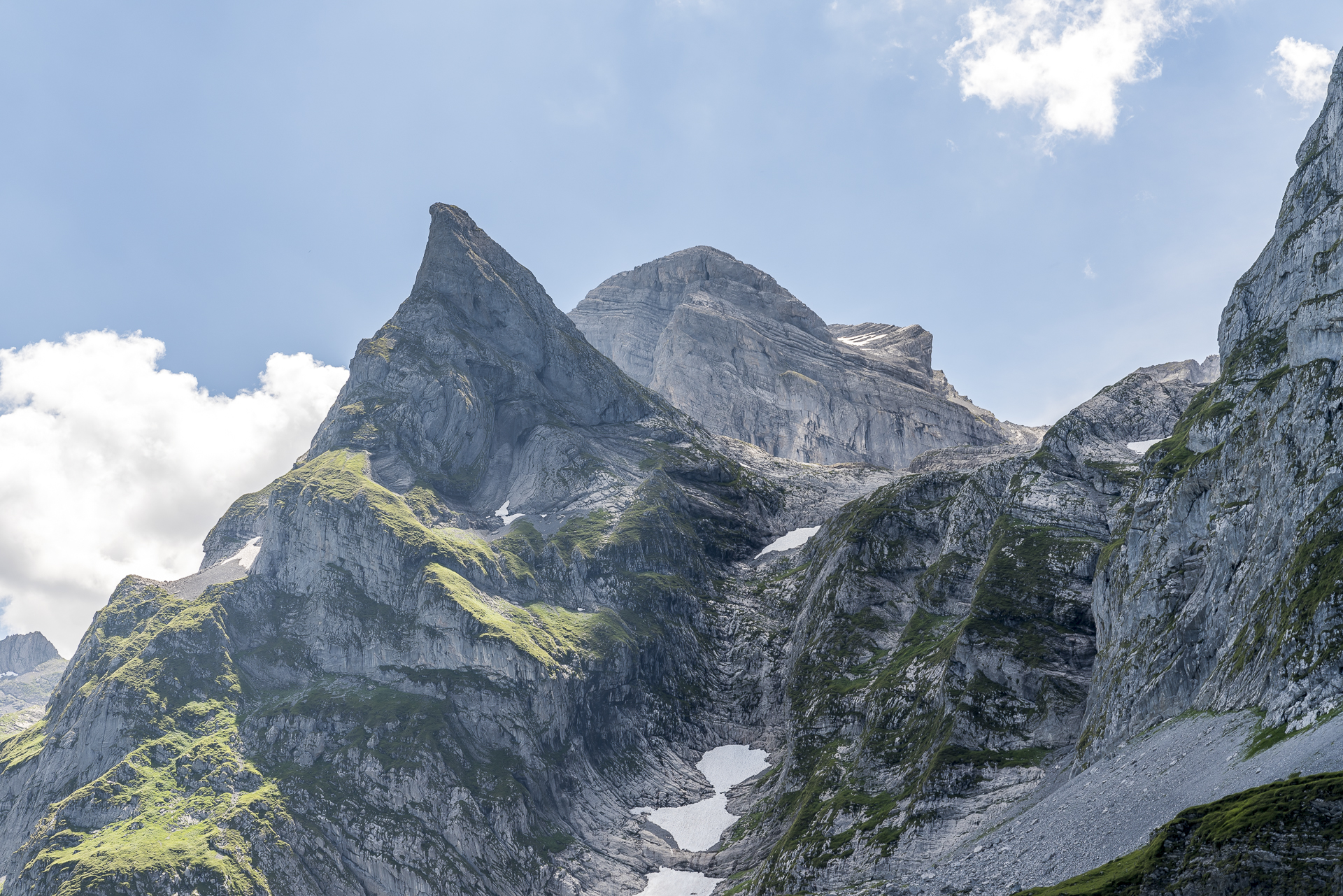
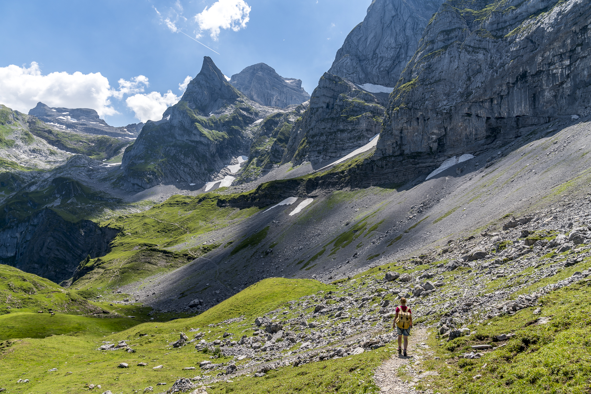
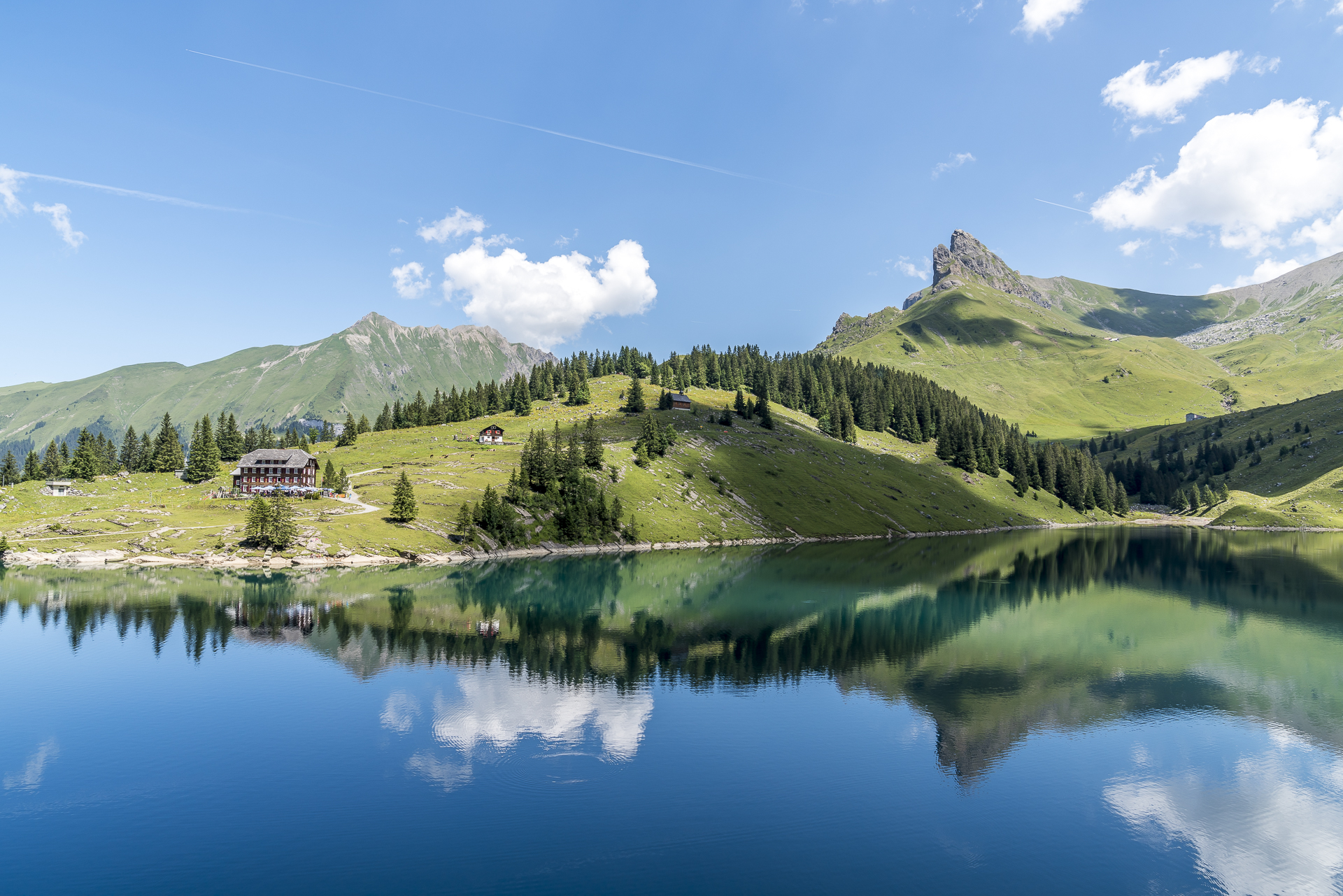
Now it’s not far to our destination for the day. Instead of making the detour via the Berggasthaus Urnerstaffel, we take the direct route to the Berggasthaus Bannalp. This variant of the trail leads dead straight to the lake and offers beautiful photo opportunities. Normally, the bright midday light is not ideal for photographing mountain lakes. But today we are very lucky with the cloud-sun combination! Before heading back to the summer heat in the valley, we stop at the Berggastaus Bannalp, order Suure Moscht, alpine cheese and a meat platter and enjoy the wonderful weather. At this point, praise is due to the friendly and attentive service in the Bannalp restaurant. Compared to other mountain pubs and restaurants we have visited in recent weeks, this one struck us particularly positively.



Practical information about the Whale Trail: Hike from Brunni to Bannalp
The route of the whale trail can be found on the map below. In the original version, the whale trail starts in Ristis and ends after 12 kilometres on the Bannalp. With our version from the Brunnihütte, the distance is shortened to around 9.5 kilometres to the Bannalpsee mountain station. On the way, there is an ascent of 450 meters in altitude and a descent of 740 meters in altitude. The pure running time for the route Brunnihütte – Restaurant Bannalpsee is around 3 hours.
You can reach the Ristis/Brunnihütte mountain stations from Engelberg. The gondola lift of the Brunni-Bahn usually runs every 20 minutes. On the Bannalp you have three options to get down to Oberrickenbach/Wolfenschiessen; The Fellboden-Bannalpsee cable car, the Fell-Chrüzhütte cable car or you can hike down to Fell via Chrüzhütte and Haghütte (the hiking time is extended by 2.5 hours). GA/Half-Fare travelcard is not valid for the cable cars from Fell to Bannalp. On weekends, there is an hourly post bus connection from Fell to Wolfenschiessen with a train connection to Lucerne or Engelberg. On weekdays, the connection is not served hourly, depending on the time. You can find more information about the Whale Trail at SwitzerlandMobility.
Hike Brunnihütte – Bannalpsee: Key data of our tour
| Starting point | Mountain station Brunni Engelberg (Brunnihütte) |
| Length | 9.6 kilometres |
| Elevation gain | ↗ 456 m 740 m ↘ |
| Duration | 3:00 p.m. |
| Destination | Bannalpsee mountain station |



Leave a Reply