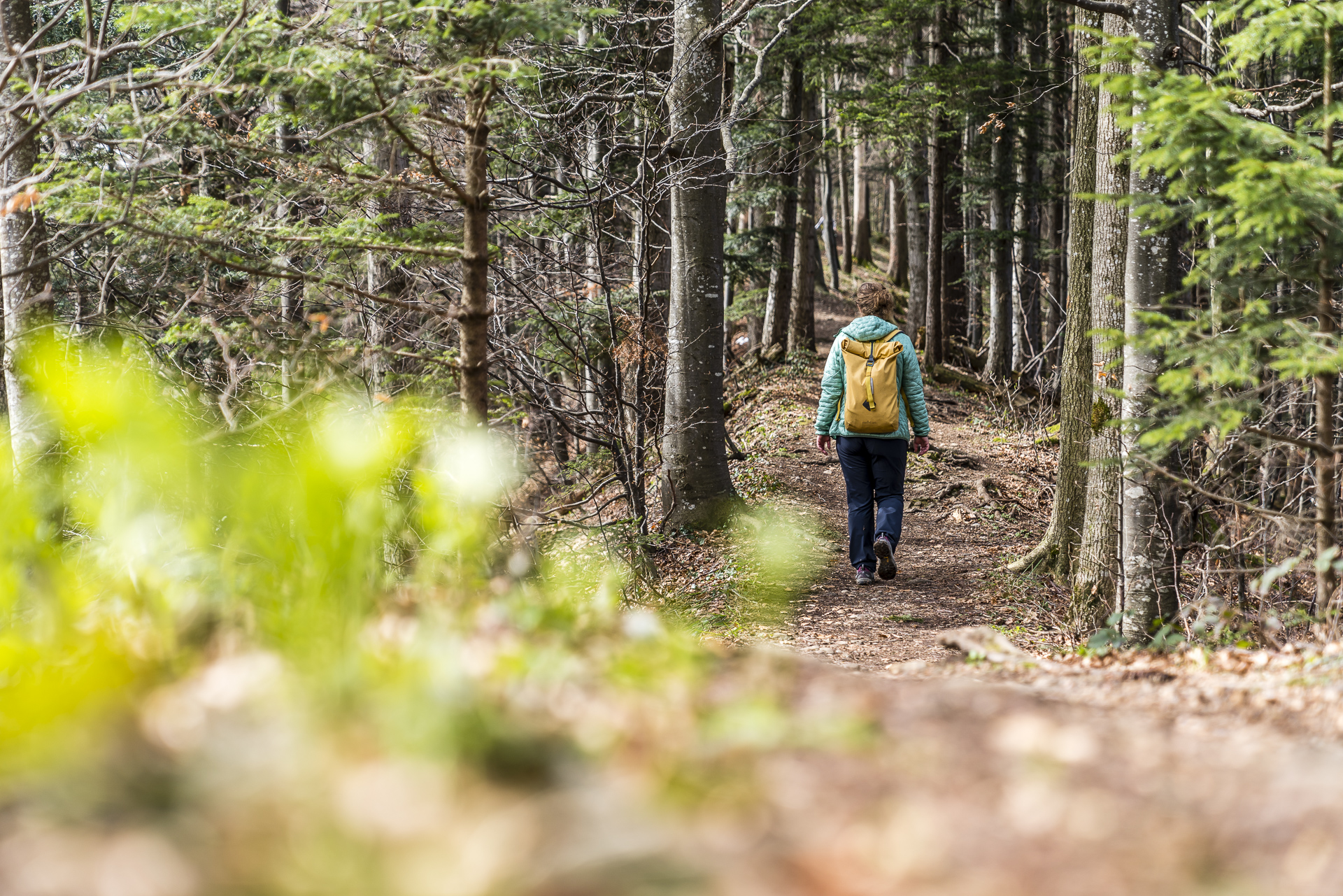
Hikes around Zurich: 9 tips for every taste
Spring is just around the corner. As a result, it’s time for fresh hiking tips. From the entertaining after-work round through the agglo to panoramic ridge paths in the Oberland, you will find a colourful selection of hikes around Zurich in the following lines. And those who know us know that we have also scouted out a great refreshment option for almost every tour. So even those who don’t like hiking will get a taste for 😉 it.
1. Short circular hike around the Katzensee
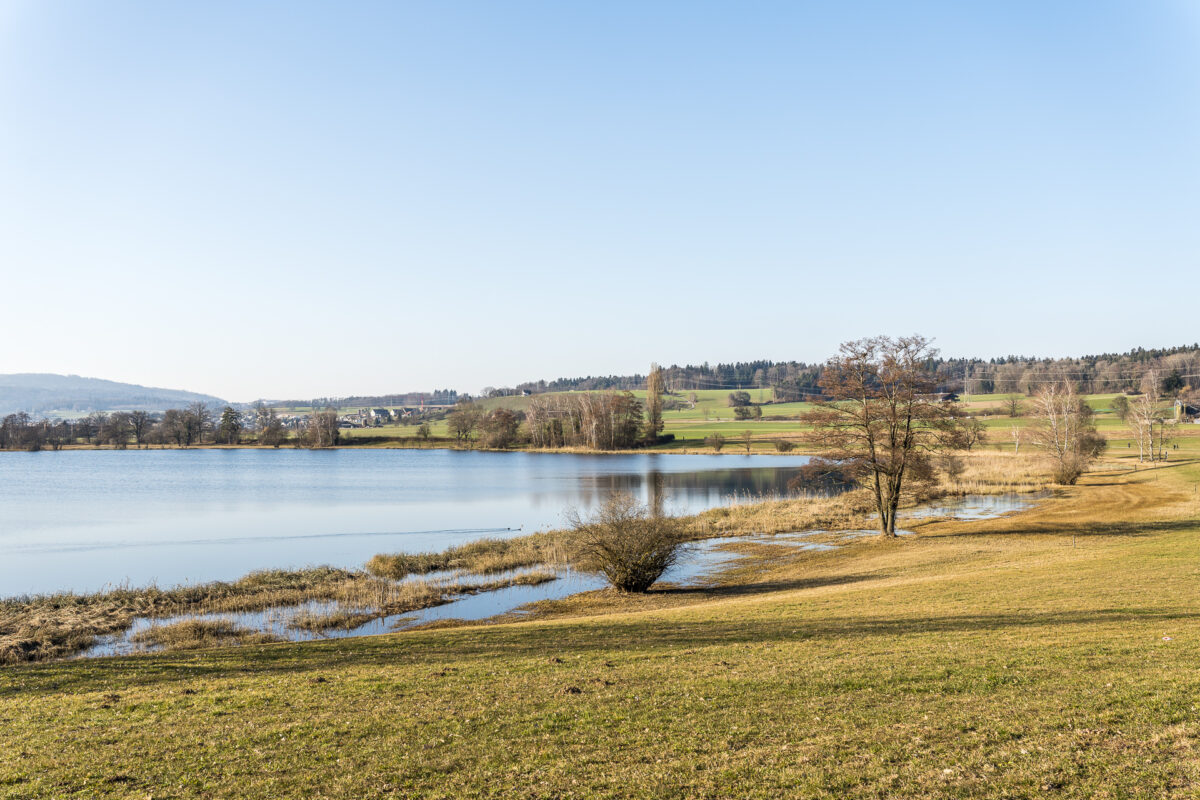
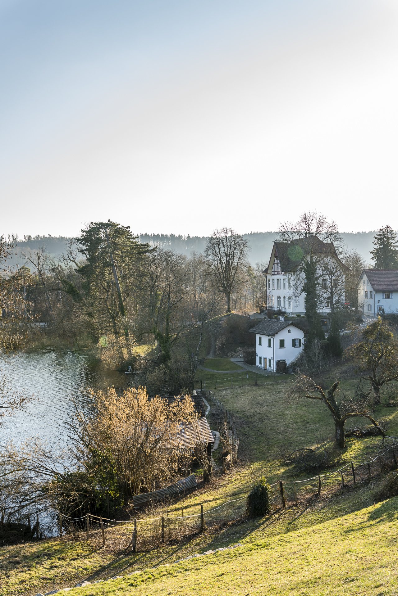
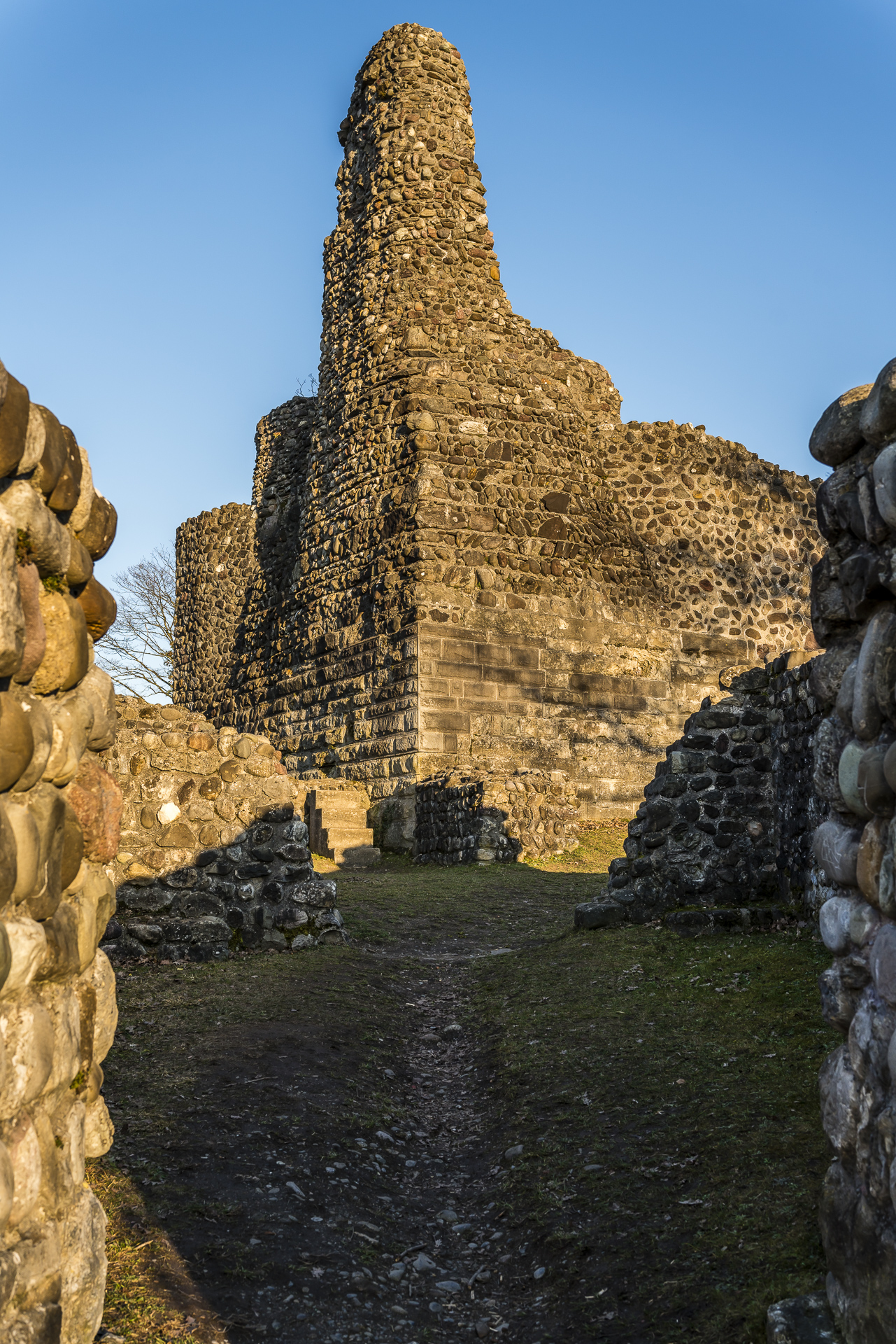
The first hike takes us to Zurich Affoltern. There starts an entertaining hiking tour out of the city, over the noisy motorway into the nature reserve around the Katzensee. The surprisingly idyllic pond is a popular recreation area for the people of Zurich. My hiking suggestion takes me around the lower and upper Katzensee in just under an hour and a half and from there on to the ruins of Alt-Regensberg in the municipality of Regensdorf. On the way, the Seeholz Beizli is a good place to stop. The broom pub at the Seeholz Farm also includes a farm shop, where freshly harvested vegetables as well as beef and lamb are sold directly from the farm.
| Starting point | Zurich Affoltern Railway Station |
| Reachability | accessible by public transport |
| Length | 6.5 kilometres |
| Elevation gain | ↗ 85 m 95 m ↘ |
| Duration | 1:30 p.m. |
| Destination | Bus stop Regensdorf, Obstgarten |
| Catering | Seeholz Beizli at Katzensee |
2. Hike through the Tätschtobel to Illnau
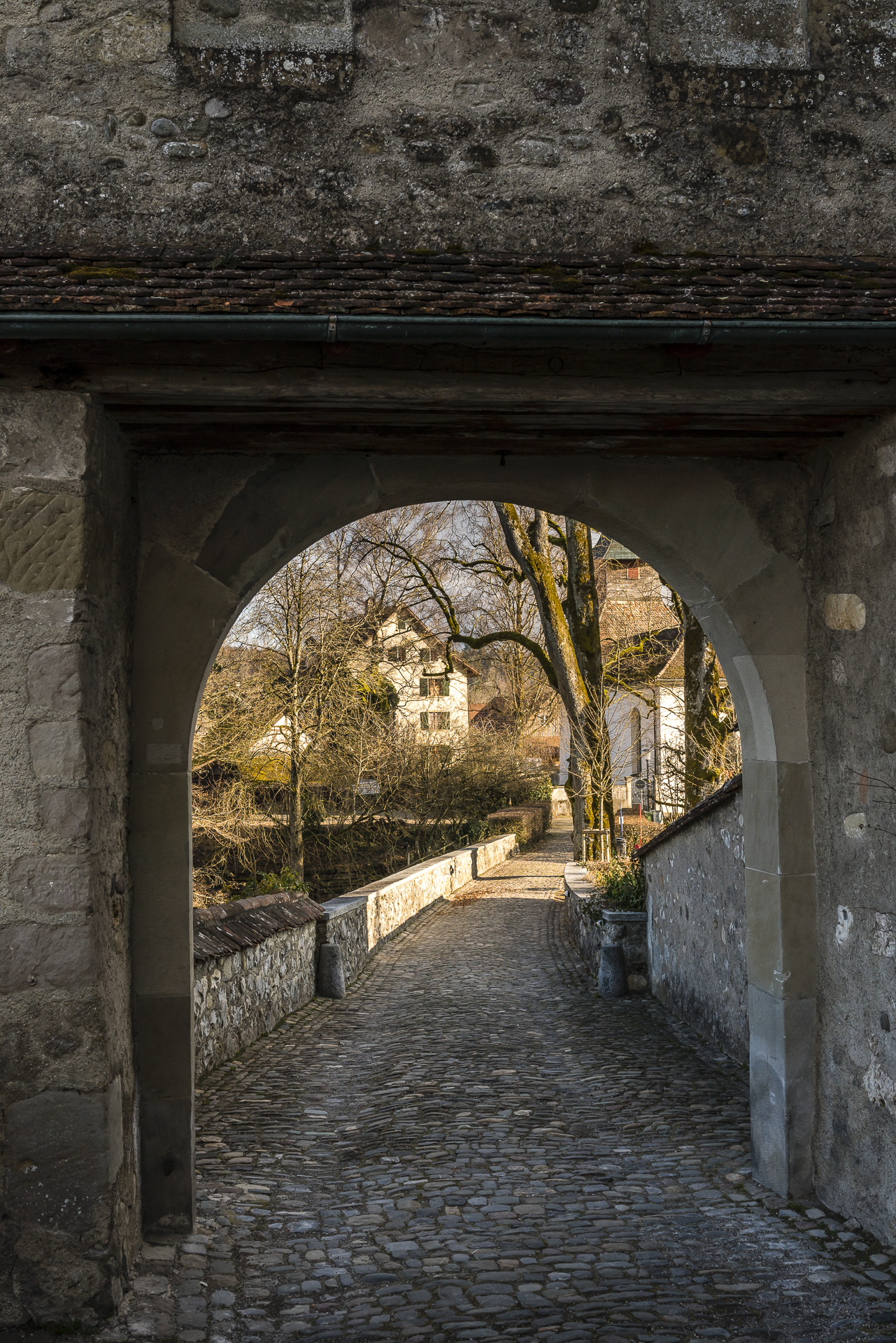
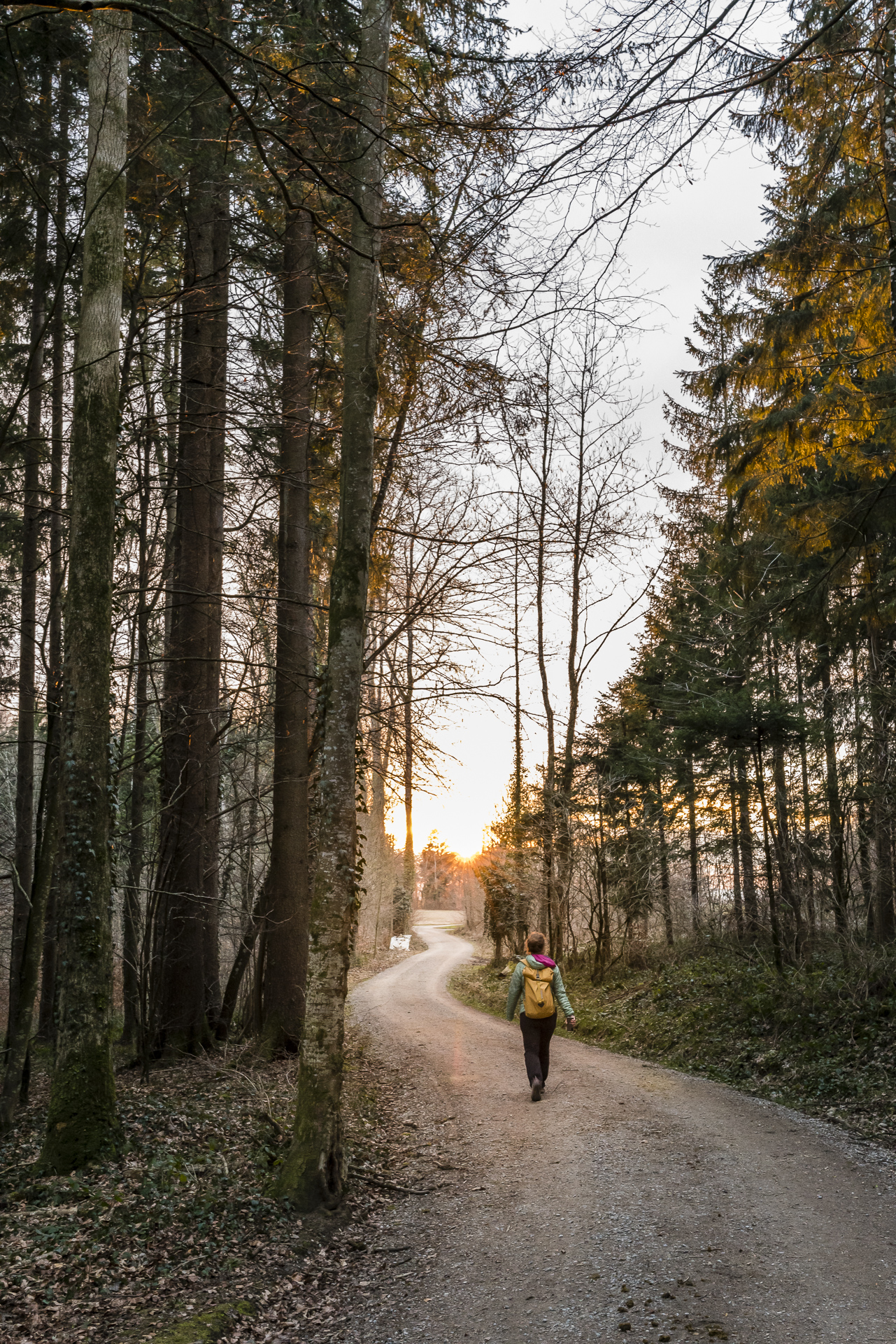
The almost 11 kilometres from Sennhof-Kyburg railway station at the entrance to the Töss Valley, up to the proud Kyburg Castle, further across the agricultural plateau near First and along the Dickibach through the romantic Tätschtobel to Illnau offer a beautiful cross-section of the Zurich Oberland hilly landscape. Winding forest paths, steep steps, wide dirt roads and, in good weather, a panoramic view of the Glarus Alps here and there – a harmonious thing. And if you take the tour in the late afternoon, like us, you will be rewarded with an atmospheric evening light on the way. Alternatively, it’s worth combining the hike with lunch at the charming First restaurant.
| Starting point | Sennhof-Kyburg railway station |
| Reachability | accessible by public transport |
| Length | 10.9 kilometres |
| Elevation gain | ↗ 285 m 255 m ↘ |
| Duration | 2:45 p.m. |
| Destination | Illnau Railway Station |
| Catering | Restaurant First |
3. Hiking classic: Over the Hörnli to Bauma
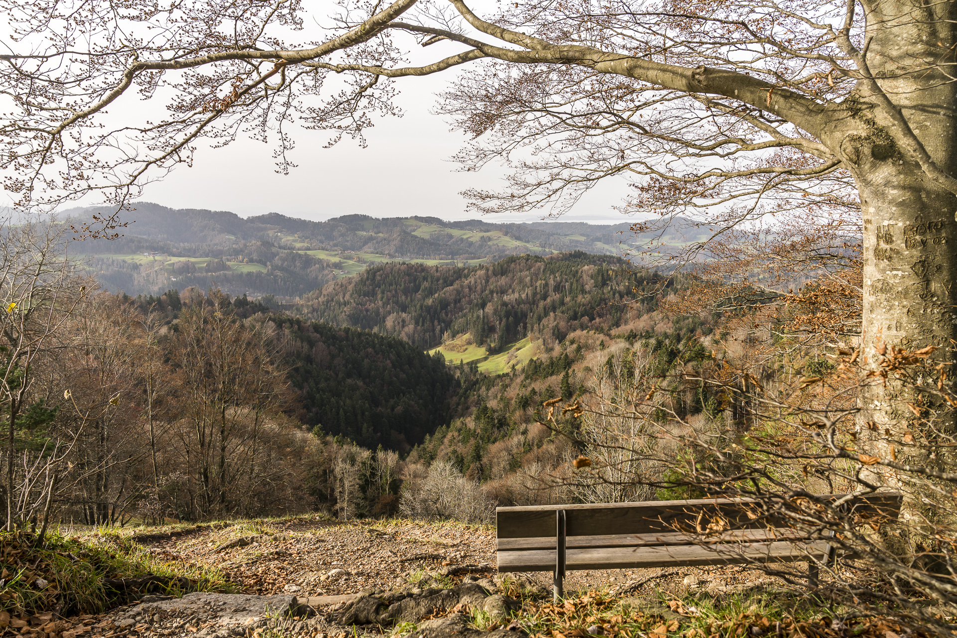
The hike to the Hörnli is one of the classics among the hikes in the Zurich Oberland. No wonder with the beautiful view that you can enjoy from the 1,132 m high summit! The view easily keeps up with that from the Schnebelhorn, which is almost 160 m higher and is the highest mountain in the canton of Zurich. If you like, you can hike from the Hörnli to the Schnebelhorn in a good three hours.
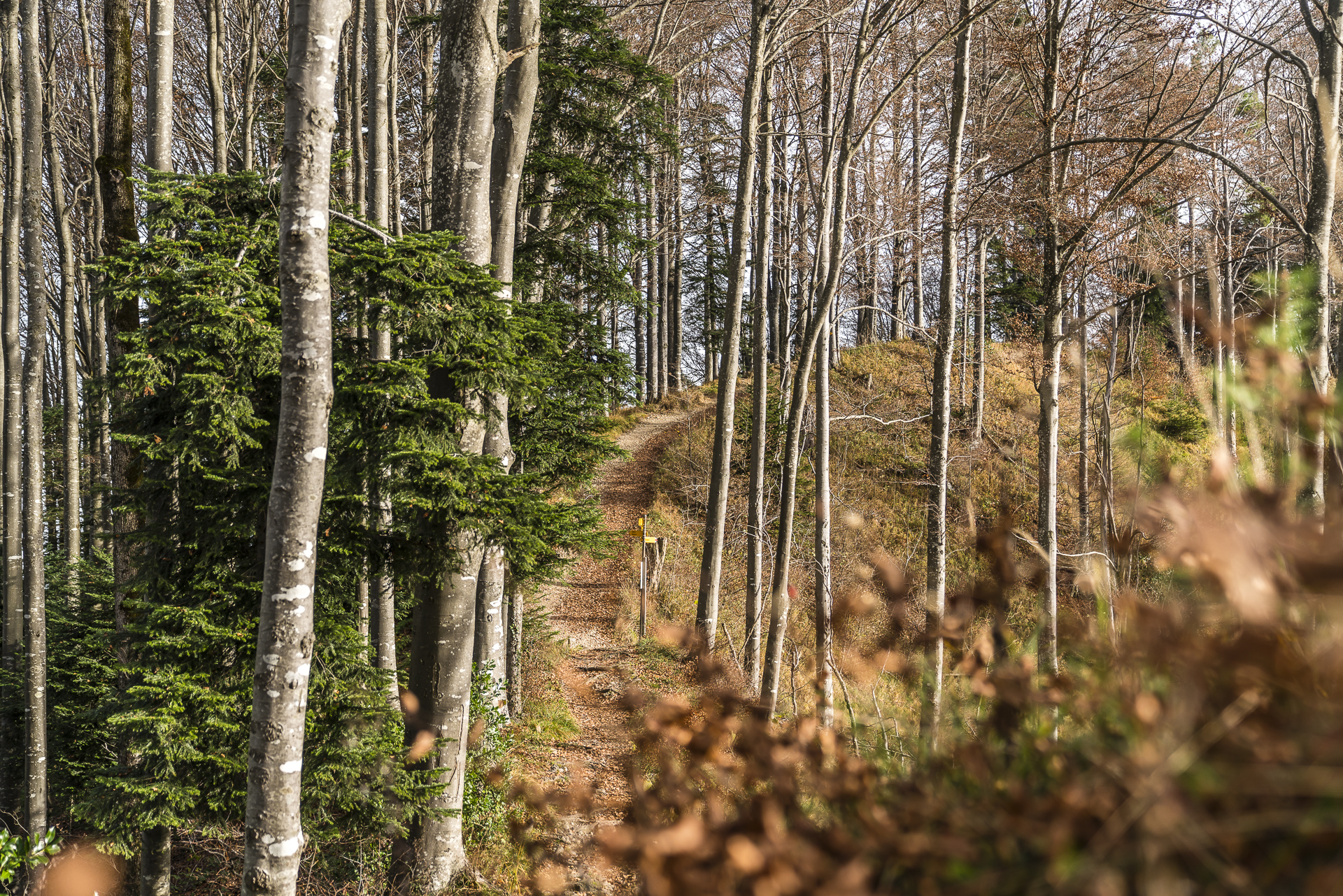
My hiking suggestion is less demanding in terms of fitness. After the one- to two-hour ascent (depending on your fitness level) from Steg station to the summit of the Hörnli, we follow a beautiful forest path via Heiletsegg along the ridge of the “Ämberg” to Bauma. At the train station there, you can bridge the waiting time for the next train with a visit to the historic wagons and locomotives of the Zurich Oberland Steam Railway Association.
Alternatively, you can take the scooter from Hörnli back to Steg. The scooters can be rented at the Hörnli mountain inn (cost: 20 CHF for adults, 15 CHF for children). My tip (regardless of whether it’s a hike to Bauma or a scooter ride back to Steg): Take this excursion early in the morning! The rush usually doesn’t really start until around 11:00 a.m.
| Starting point | Steg im Tösstal railway station |
| Reachability | accessible by public transport |
| Length | 9.1 kilometres |
| Elevation gain | ↗ 495 m 550 m ↘ |
| Duration | 3:00 p.m. |
| Destination | Bauma Railway Station |
| Catering | Berggasthaus Hörnli |
4. Hike along the Hüttchopf Trail
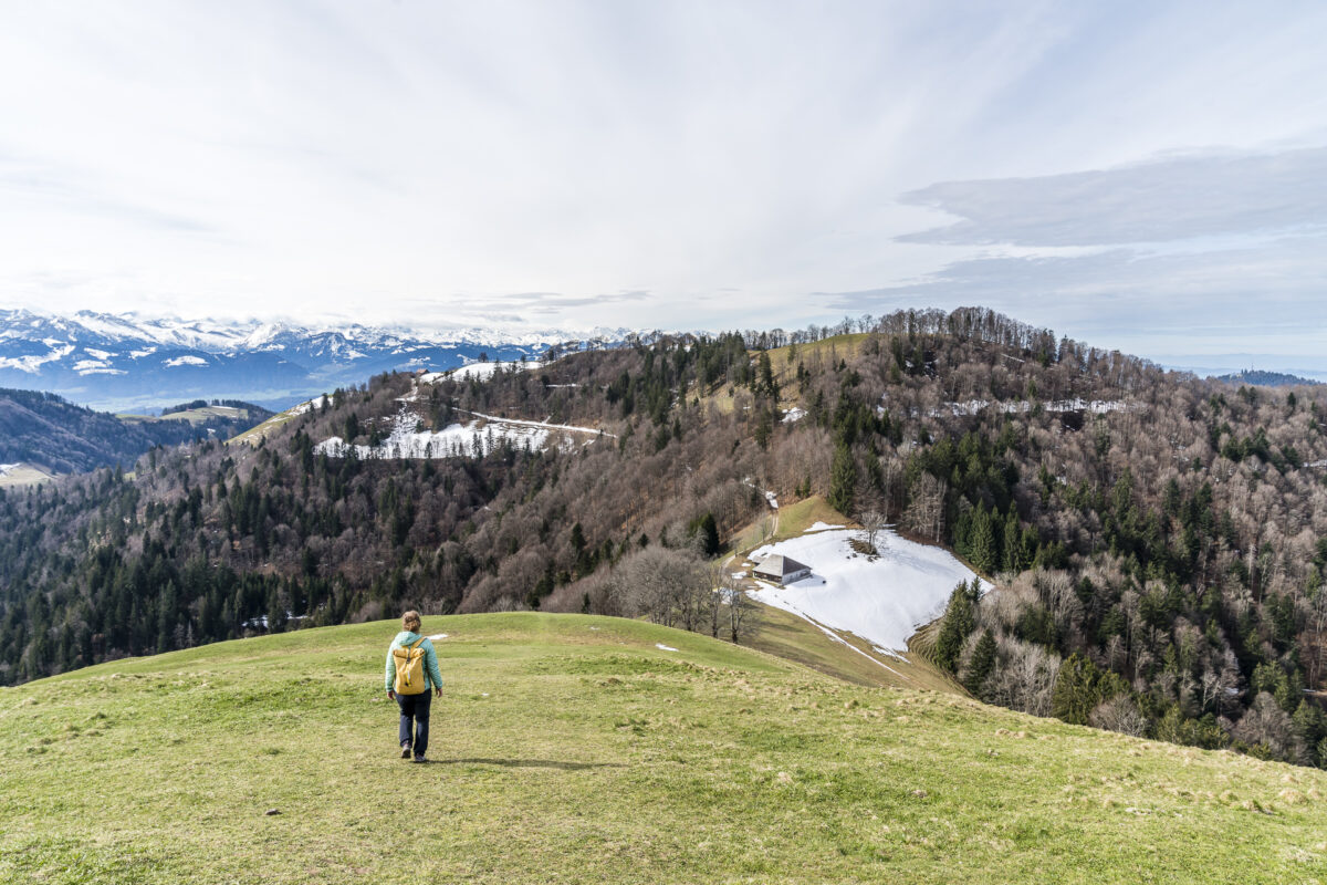
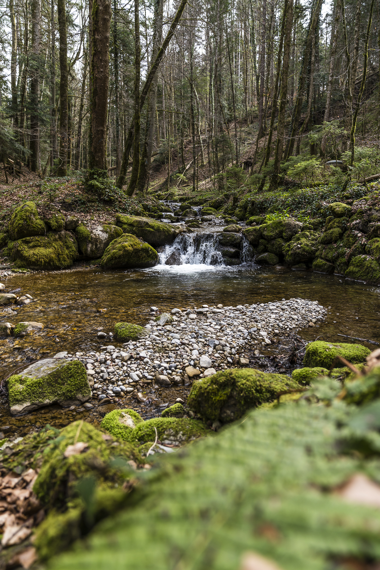
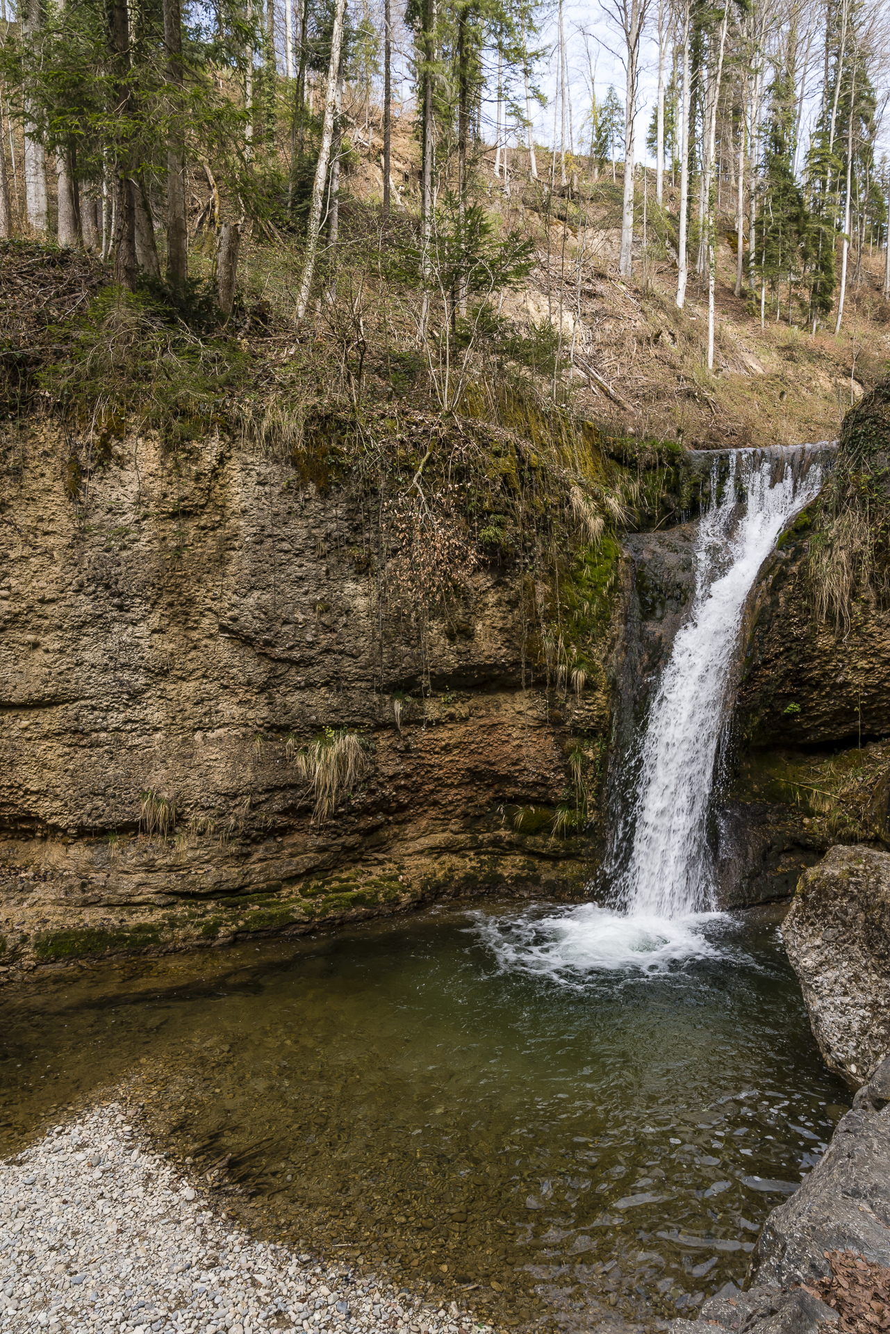
Another scenic hike starting in Steg leads along the Hüttchopf Weg over the 1,232 m high “Hüttchopf” to Wald. Again, this is not an unknown route hike – but the stage from Steg to the Hüttchopf seemed to me to be less frequented compared to the Schnebelhorn and Hörnli. However, Alp Scheidegg is a popular weekend excursion destination on the Hüttchopf Weg. Fortunately, the hiking trail only leads a short distance over the access road, which (with the exception of the months when the toboggan run is open) is freely passable for Alp Scheidegg guests. On nice days, it’s worth stopping off on the sun terrace – the view is once again magnificent. But the descent to Wald also has another highlight in store with the secluded green Sagenraintobel, which is crisscrossed with smaller and larger waterfalls.
| Starting point | Steg im Tösstal railway station |
| Reachability | accessible by public transport |
| Length | 12.4 kilometres |
| Elevation gain | ↗ 655 m 735 m ↘ |
| Duration | 4:00 p.m. |
| Destination | Wald Railway Station |
| Catering | Gasthaus Alp Scheidegg |
5. Hike from Adetswil via Rosinli to Wetzikon
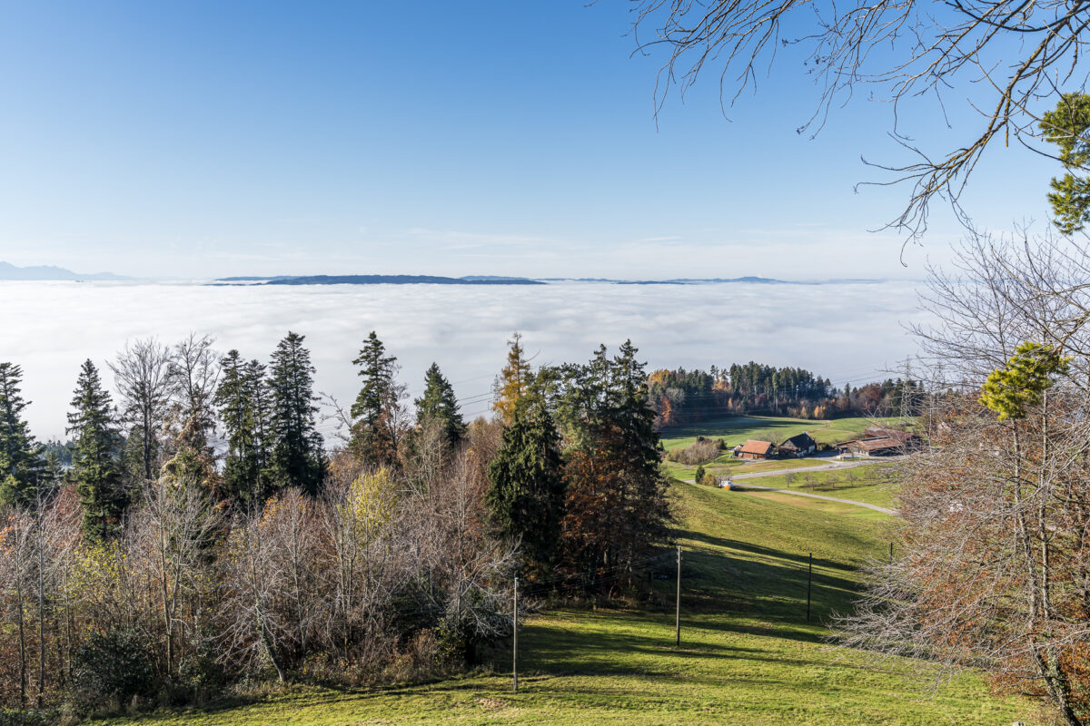
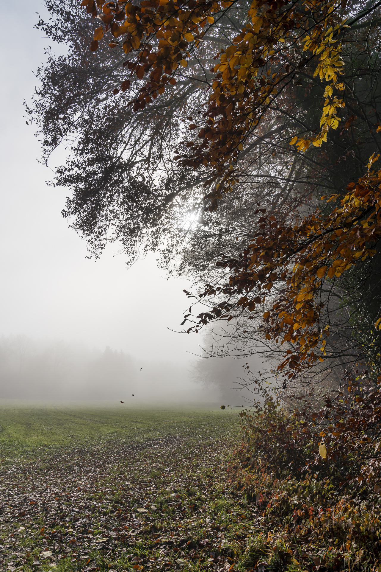
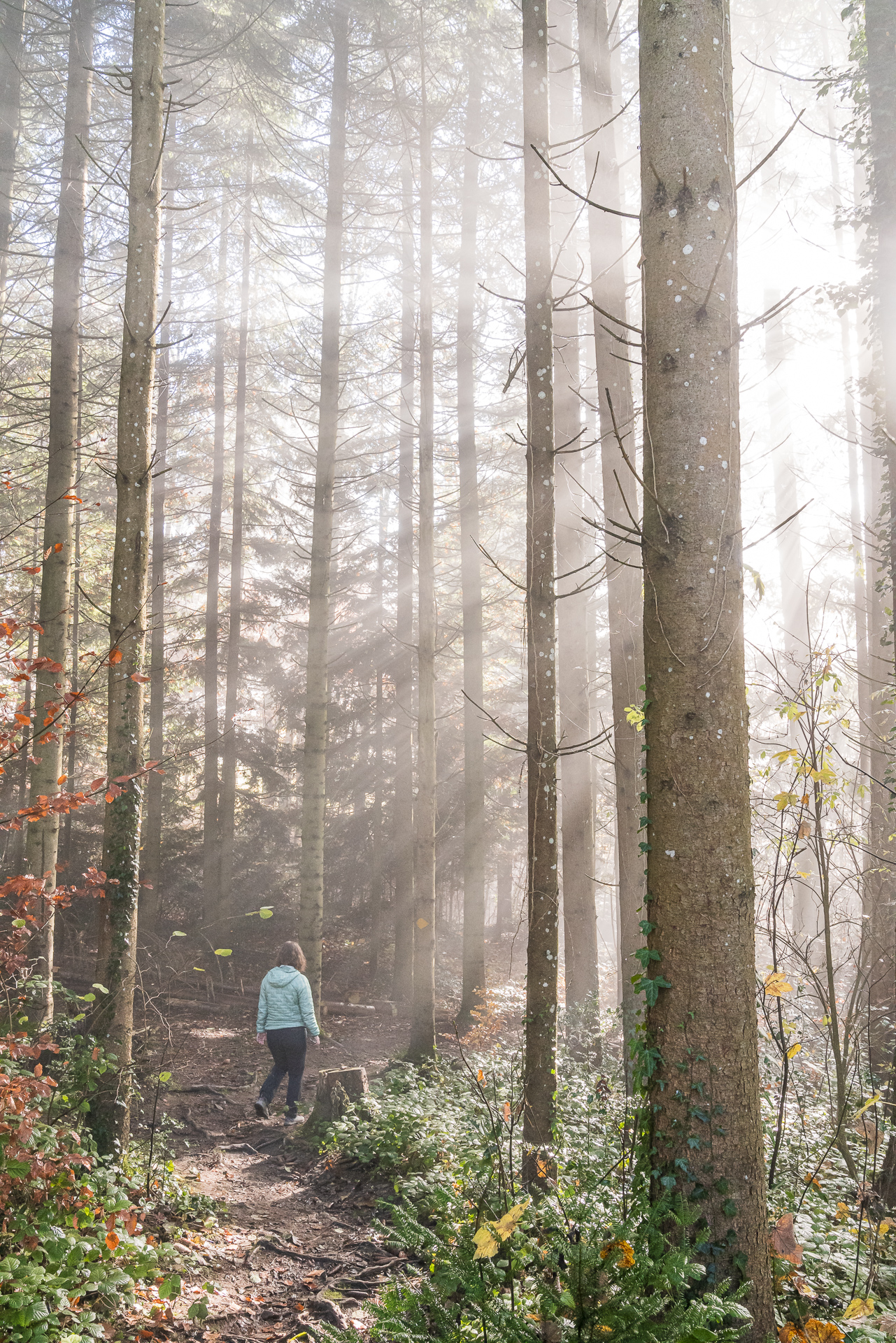
We start this hike at the bus stop Adetswil, Sunneberg – so we are only missing about 100 meters in altitude to the highest point of the tour at the Rosinli mountain inn. In the first part, we follow the signposted Rosinli circular trail up into the panoramic hills above the village centre of Adetswil. If you’re lucky, you’ll be able to get out of the fog here and save yourself the slightly longer journey to the Tösstal. In spring, this is less of an issue – in autumn, it’s worth taking a look at the Bachtel and Hörnli webcams in advance.
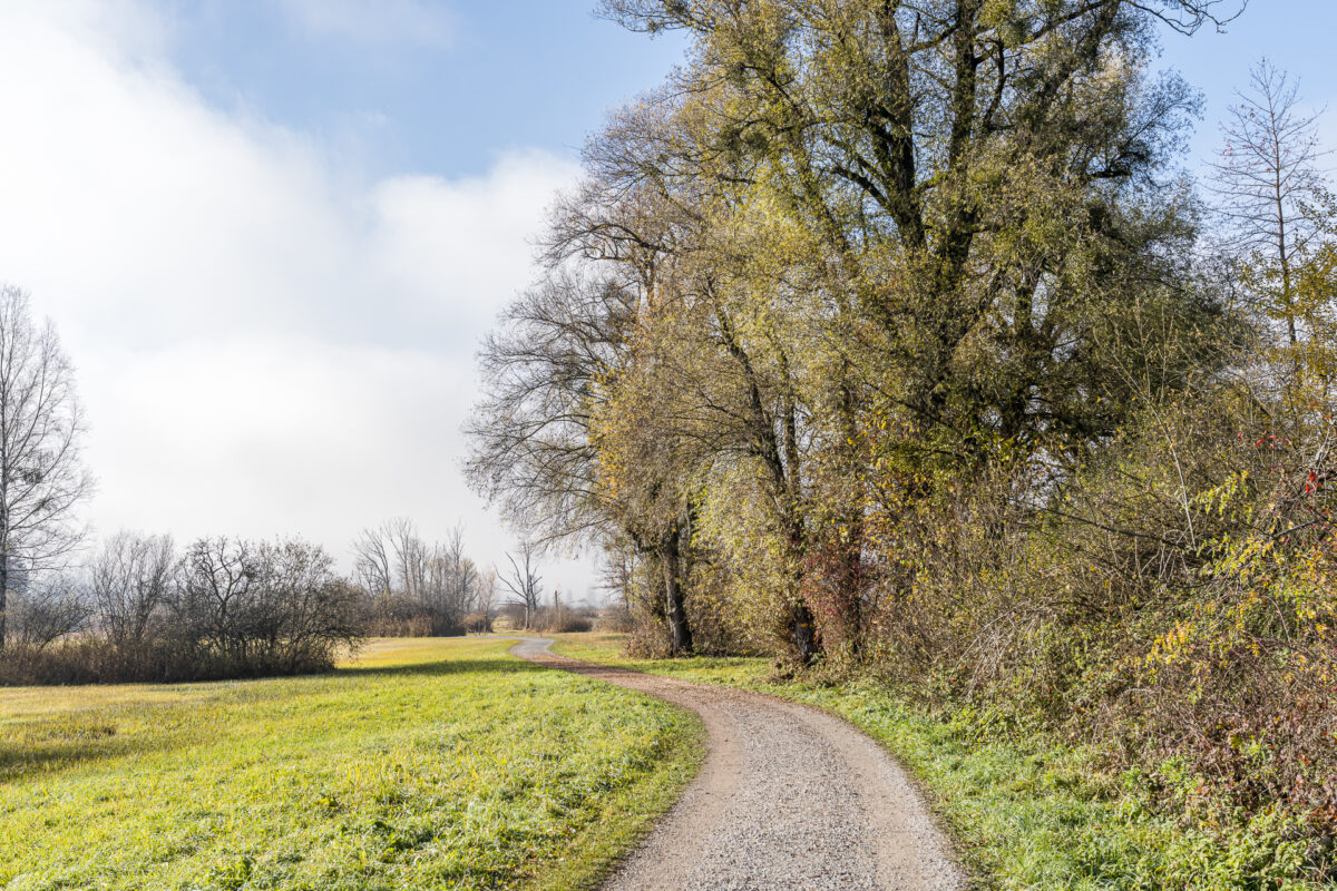
After a short stopover at the Rosinli, you continue on the Rosinli circular trail over hill and dale to Kempten. Here we now walk following the signposts of the industrial path through the Robenhuserriet and the Wetzik district of “Robenhausen” to the Wetzikon train station. An ideal hike for those who want to enjoy a beautiful view without having to climb too much altitude. At the same time, the hike also offers exciting background information on the industrial history of the Zurich Oberland.
| Starting point | Bus stop Adetswil, Sunneberg |
| Reachability | accessible by public transport |
| Length | 9.1 kilometres |
| Elevation gain | ↗ 145 m 340 m ↘ |
| Duration | 2:15 p.m. |
| Destination | Wetzikon Railway Station |
| Catering | Berggasthaus Rosinli |
6. Hike on the Pfannenstiel Trail to the Hochwacht
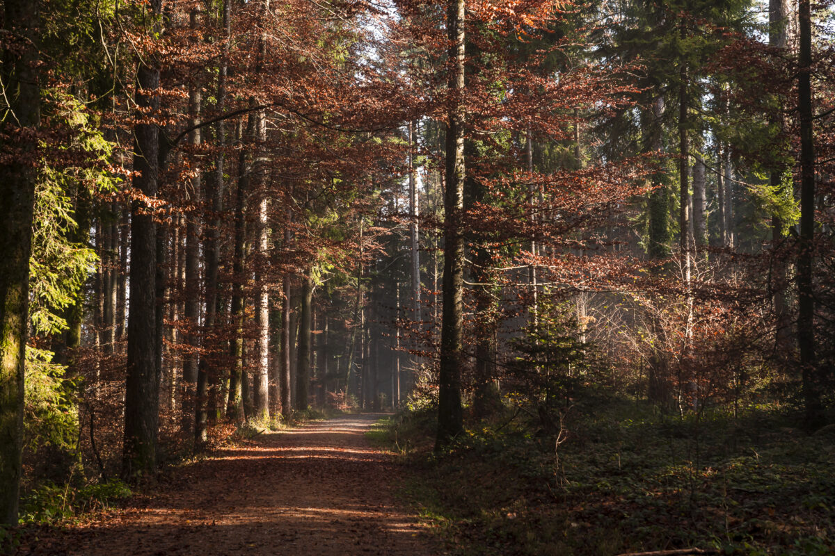
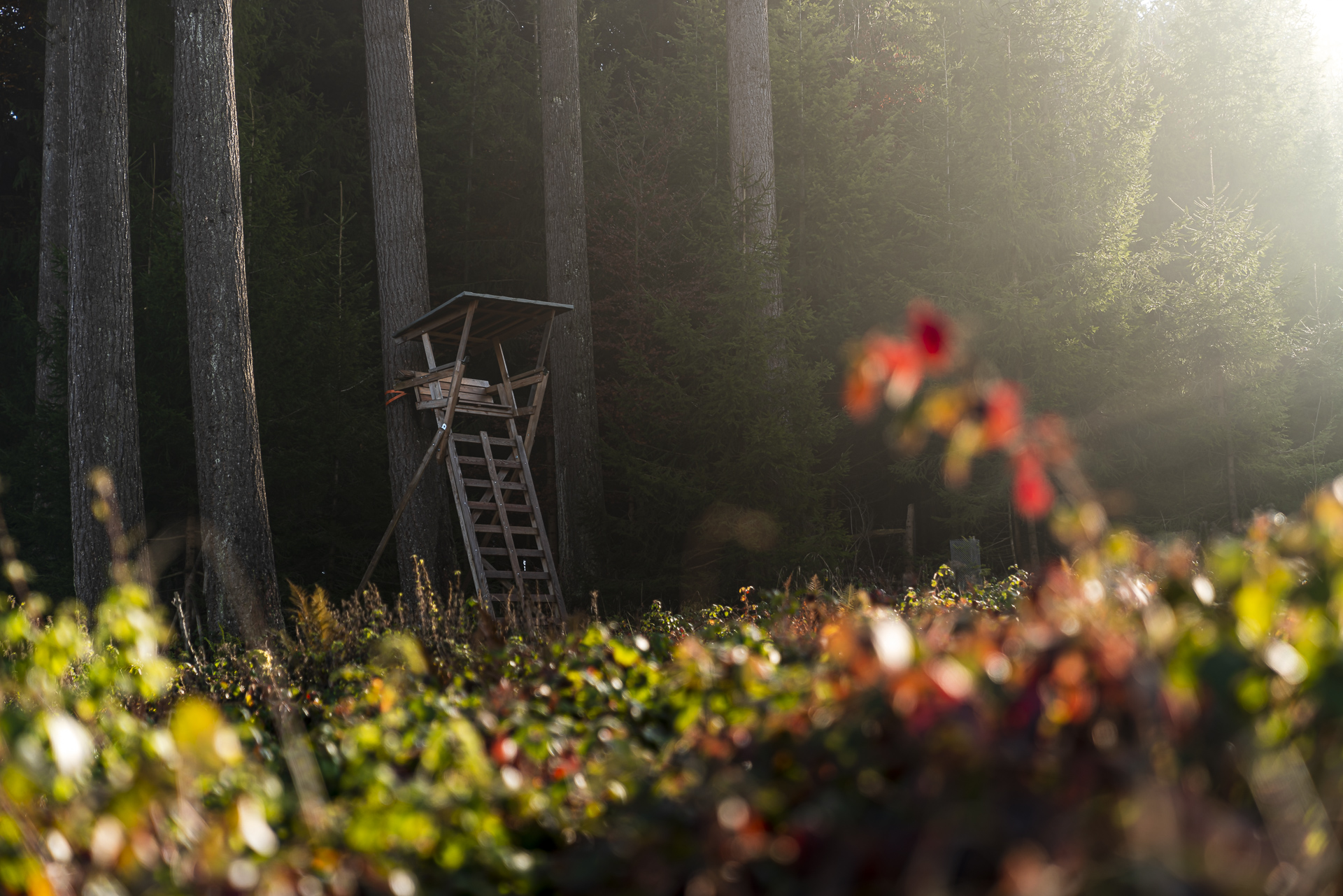
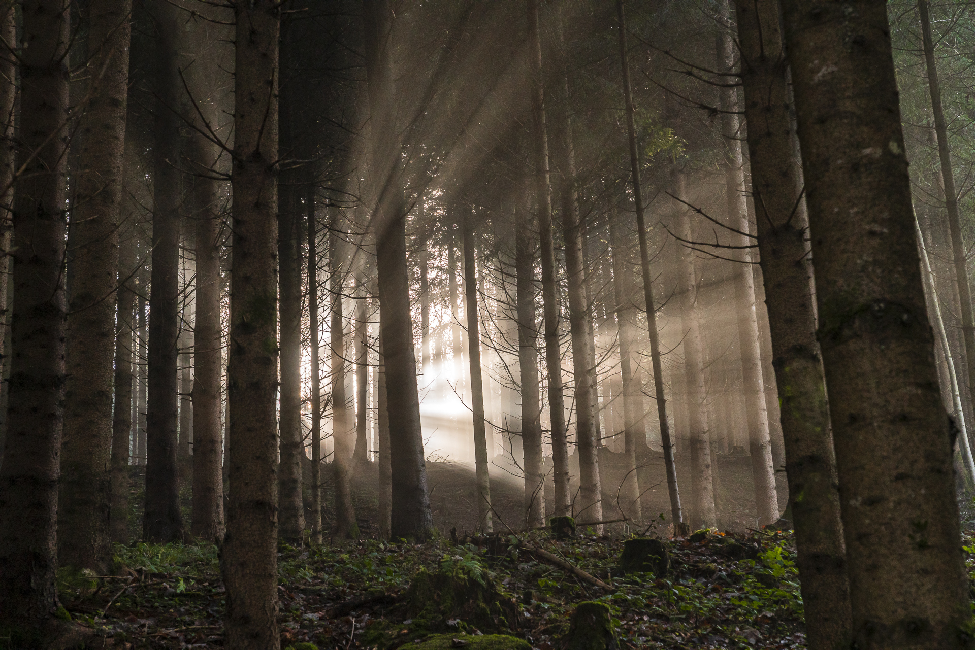
A tip for early risers. The Pfannenstiel trail from the Forch station through the mystical forest to the 35 m high observation tower on the Pfannenstiel is magical in the morning hours. The first rays of sunshine breaking through the canopy, chirping birds and the earthy scent of dewy forest floor. Gorgeous, isn’t it? Here, too, the Hochwacht restaurant is a restaurant option in a panoramic location directly on the side of the road. But this time, in my opinion, it’s worth hiking a little further downhill towards miles. At the height of the ruins of Friedberg Castle, the Pfannenstiel Trail leads past a “resting place” for foodies – the Wirtschaft zur Burg, which has been awarded 16 GaultMillau points.
Alternatively, you can branch off just above the castle ruins at the height of “Oberweid” in the direction of Herrliberg and head for the Buech restaurant – which is also a real gourmet tip.
| Starting point | Forch Railway Station |
| Reachability | accessible by public transport |
| Length | 11.8 kilometers |
| Elevation gain | ↗ 285 m 555 m ↘ |
| Duration | 3:00 p.m. |
| Destination | Meilen Railway Station |
| Catering | Wirtschaft zur Burg (Meilen) |
7. Mühlitobel-Sihl-Weg Hike
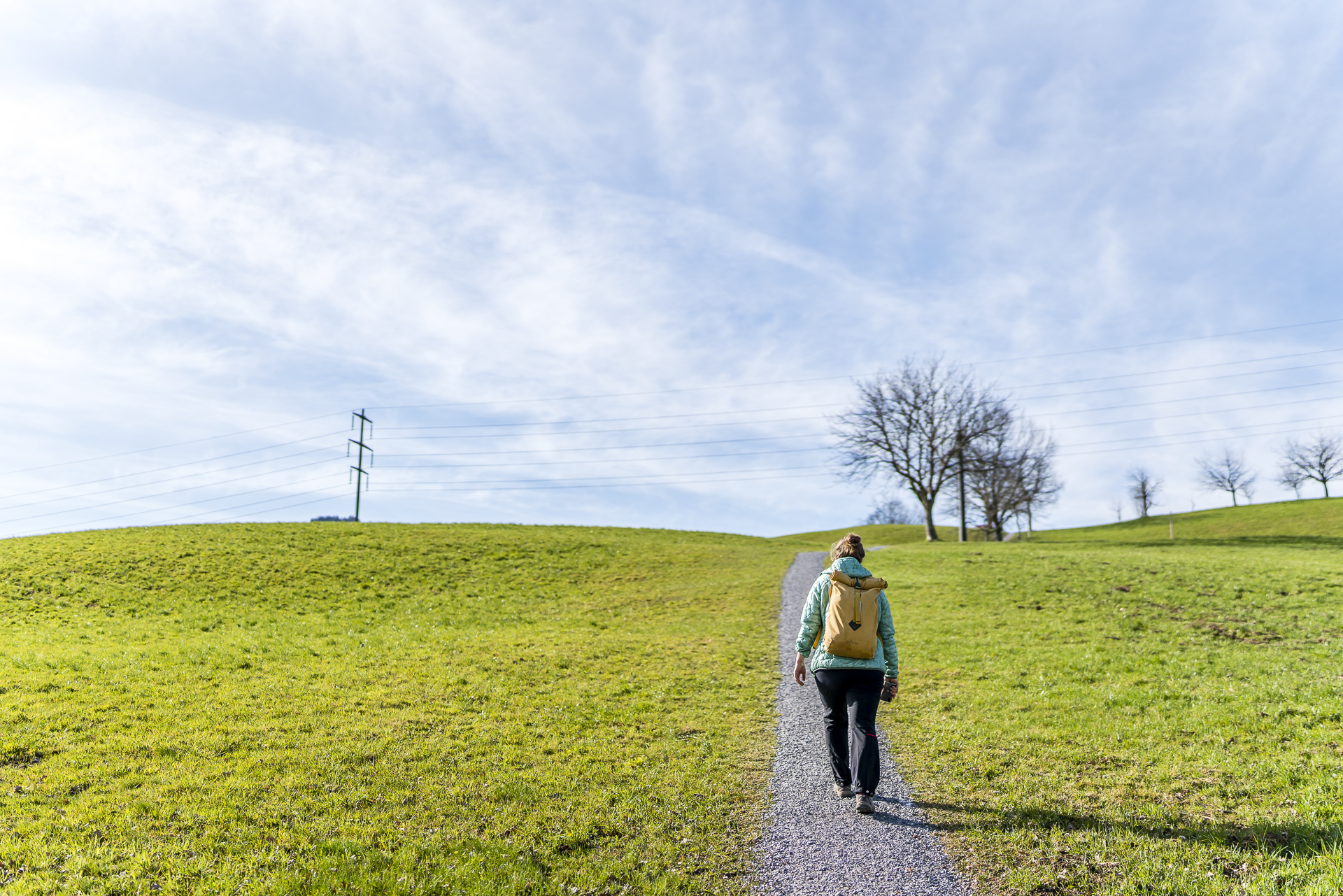
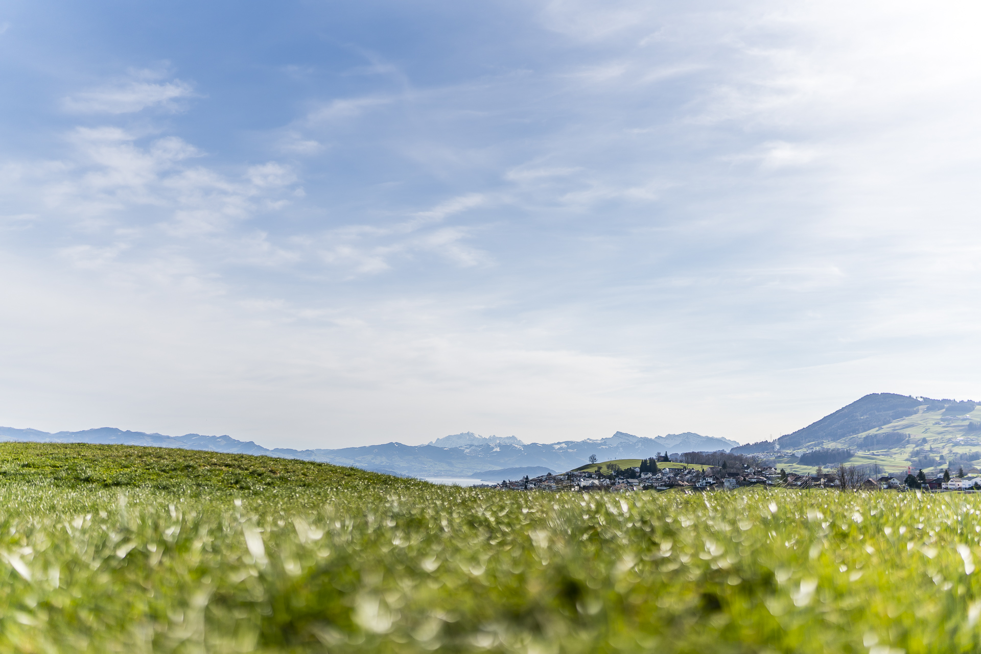
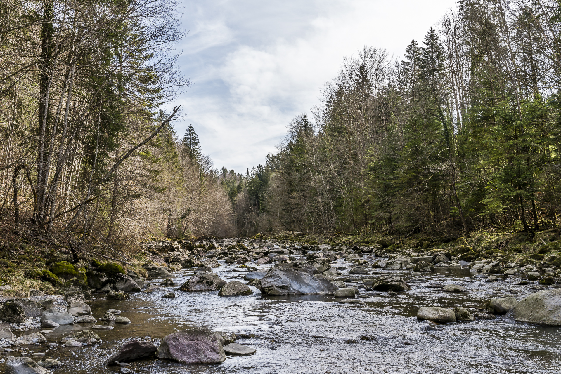
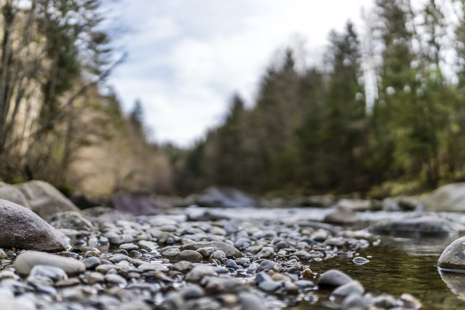
For once, we turn our backs on Lake Zurich. Following the 14-kilometre-long Mülitobel-Sihl-Weg, we hike from Richterswil train station along the Mülibach stream towards Samstagern. Once the ravine has been crossed, the panoramic view opens up towards the Zurich Oberland and the Glarus Alps. Passing two ponds and the Hüttnersee (where you can also swim in summer) we march in a slight up and down towards the huts. Here the hiking trail zigzags down to the banks of the Sihl.
On the last three kilometres, there is another 130 metres of uphill climbing to the village centre of Schönenberg. As a reward, you can admire the “Seeli” no. 4 of this round (the Teufenbachweiher) on the way. A scenically varied tour – but in a cross-country comparison, it unfortunately has a disproportionately large number of asphalt kilometres.
| Starting point | Richterswil Railway Station |
| Reachability | accessible by public transport |
| Length | 13.7 kilometres |
| Elevation gain | ↗ 565 m 255 m ↘ |
| Duration | 4:00 p.m. |
| Destination | Bus stop Schönenberg ZH, Dorfhuus |
| Catering | Besenbeiz Knobel Hüttnersee |
8. Hike from Endingen via Vogelsang to Ehrendingen
For this tour, we leave the cantonal border at Niederfew in the Zurich Unterland behind us and head to the Surb Valley in Aargau. At first glance, the starting point of this hike – the village of Endingen – seems to be a reflection of an average Swiss village. Only the “double doors” are likely to be an indication of an exciting village history for one or the other attentive observer. In fact, Jewish families settled in Endingen (and the neighbouring village of Lengnau) in the 16th century, and the first synagogues in Switzerland were built here in the 18th century.
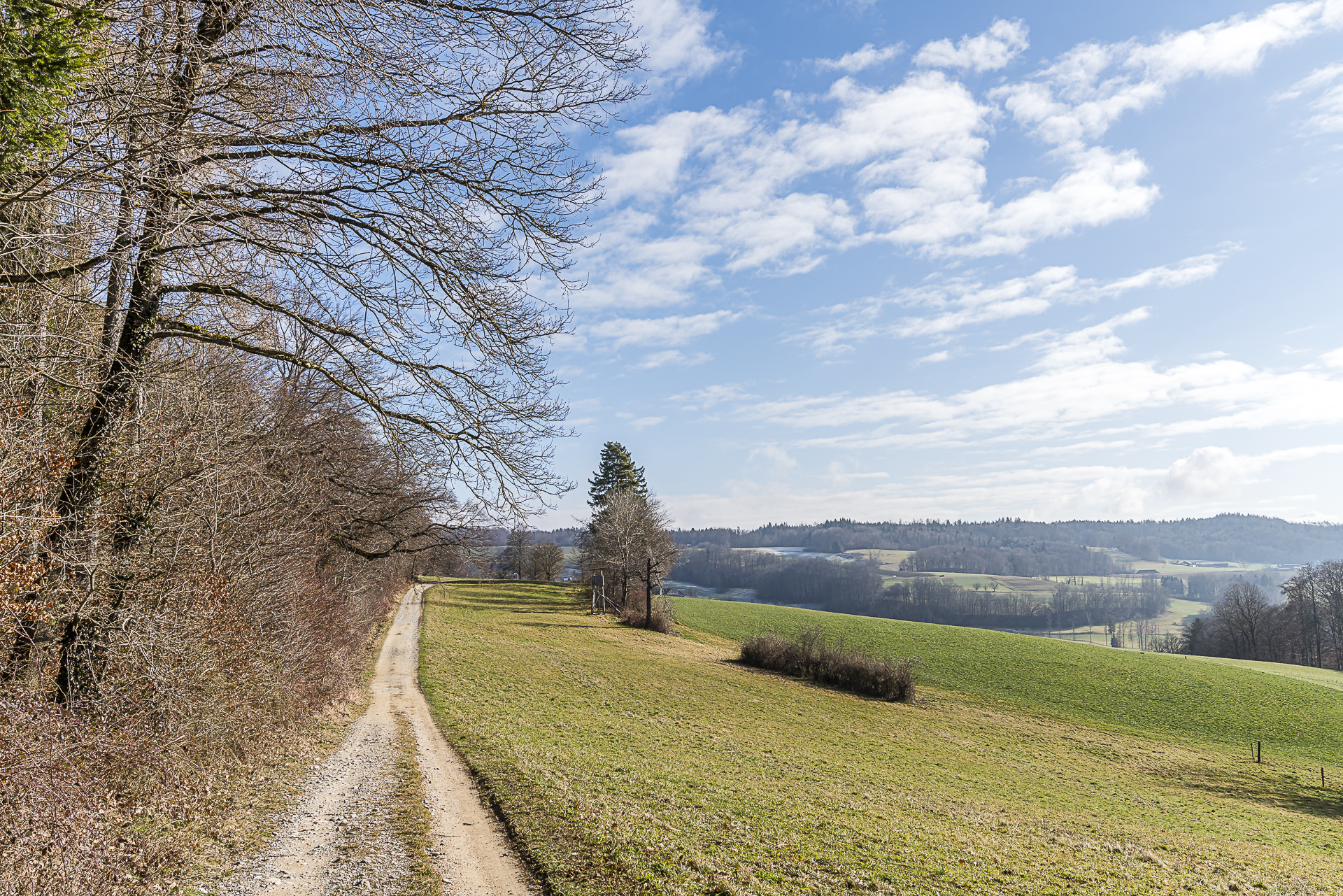
The synagogue of Endingen is only a few steps away from the starting point of the hike on the “Hintersteig”. Then you follow a narrow stairway up into the hills and then continue via tarred road and gravel paths in the direction of Vogelsang. We look over the hills towards the Lägerngrat and enjoy the peace and quiet. The number of people we cross between Vogelsang and Schneisingen can be counted on one hand.
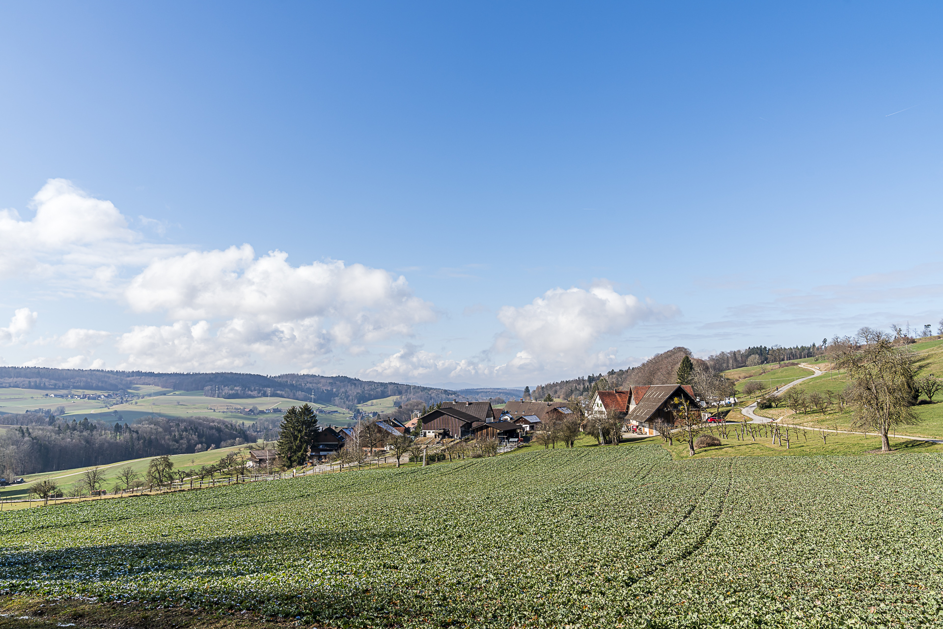
The hiking route then leads past Niederweningen train station – but it’s worth taking another small ascent over the “Sunneberg” to Ehrendingen. Especially if you have reserved a table in advance at the Wirtschaft zum Heimat. Anyone who stops at the inn, which at first glance seems inconspicuous behind the church, will most likely return sooner or later. Host and chef Tim Munz knows how to inspire with inexpensive lunch menus and carefully put together tasting menus in equal measure! My favorite: the caramelized mountain spruce cheese with kumquats ragout!
| Starting point | Bus stop Endingen, city centre |
| Reachability | accessible by public transport |
| Length | 13.6 kilometres |
| Elevation gain | ↗ 385 m 305 m ↘ |
| Duration | 3:30 p.m. |
| Destination | Bus stop Ehrendingen, Post Office |
| Catering | Economy to the homeland (Ehrendingen) |
9. Hike Zugerberg – Arth-Goldau
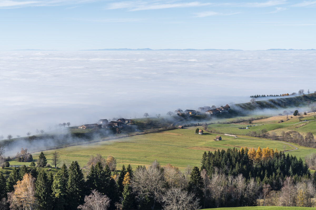
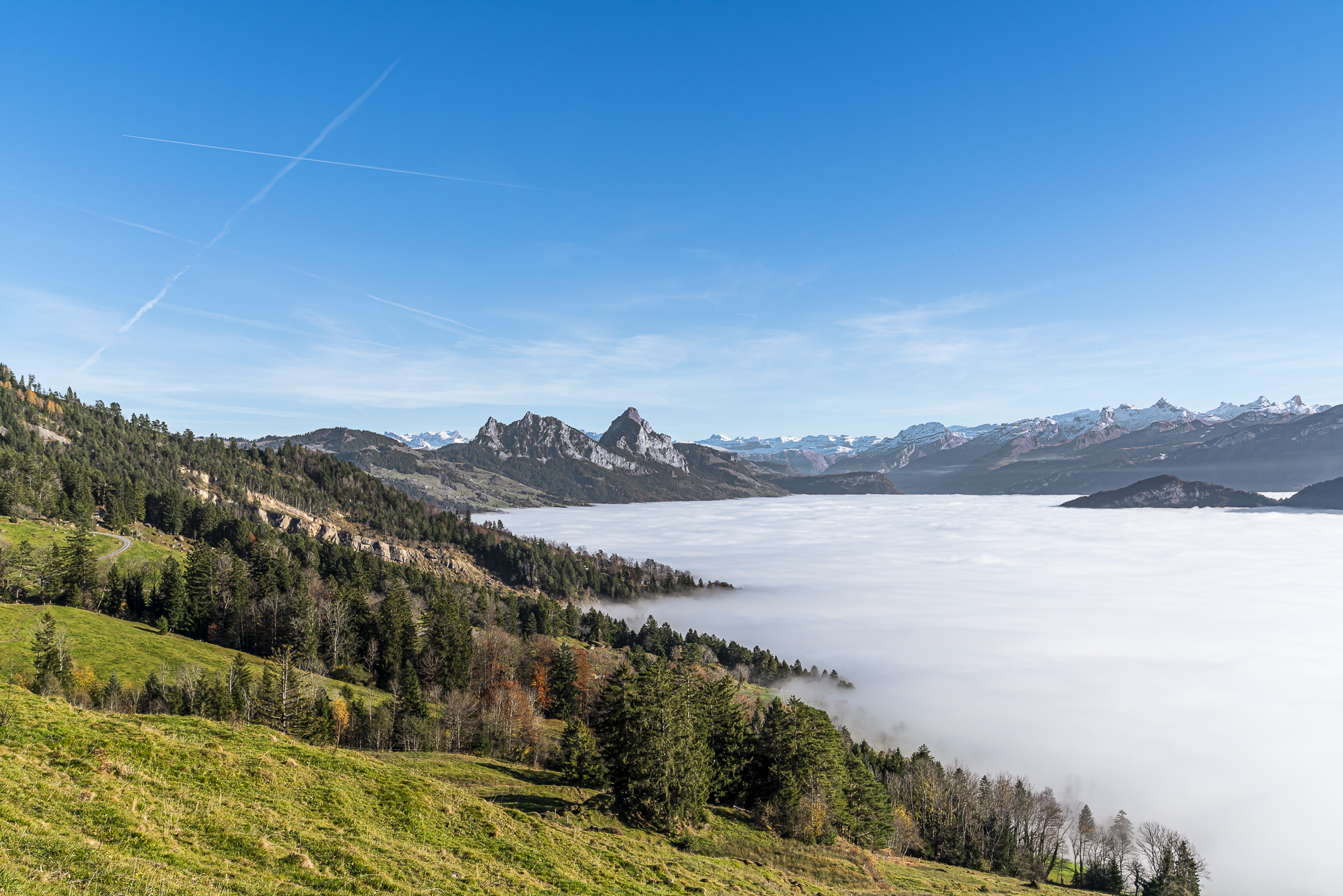
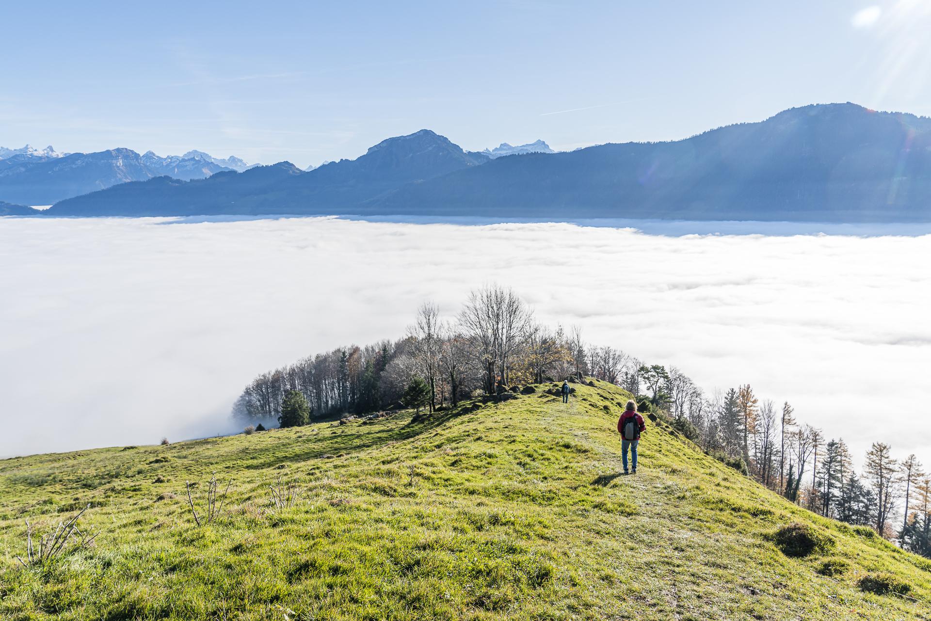
In addition to the hiking classic through the Lorzentobel, we explored another entertaining (and highly fog-tested) hike on the Zugerberg last autumn. From the mountain station of the Zugerbergbahn, this high-altitude hike leads through the protected moorland landscapes of the high plateau to the Pfaffenboden mountain restaurant. It’s a good place to take a break – the view from the sun terrace of the mountain restaurant is too charming to simply wander past. The magnificent mountain panorama, which stretches from the Mythen over the Rigi to the Pilatus, remains true to us on the second stage of the route via Dürrenboden along the flanks of the Gnipen down to Goldau.
| Starting point | Zugerberg funicular mountain station |
| Reachability | accessible by public transport |
| Length | 15.1 kilometers |
| Elevation gain | ↗ 445 m 875 m ↘ |
| Duration | 4:20 p.m. |
| Destination | Arth-Goldau Railway Station |
| Catering | Pfaffenboden mountain restaurant |
Note: In the period from 7 February to 11 December 2022, a train replacement (bus) will be in operation due to the renewal of the Zugerbergbahn route.
ps. in spring it is also magical on the flanks of the Zugerberg. I have described a particularly flower-rich tour here: Spring hike on Lake Zug
You can find even more hiking tips in the Zurich region here: Excursion ideas and sights around Zurich




Leave a Reply