5 great excursion destinations and hikes in Aargau
There is no shortage of tips for varied day trips and beautiful hikes in Switzerland on my blog. And yet, in a regional cross-comparison, there are striking gaps. Or is it fair that with over 200 blog posts about Swiss excursion destinations, only one full-fledged blog post has been dedicated to the canton of Aargau so far? I don’t think so, and that’s why I’ve explored five excursion destinations in Aargau in the past two months. Especially in the transitional months, the hiking trail network in the canton of Aargau offers ideal conditions for an entertaining excursion in the fresh air due to its altitude.
Excursion destinations in Aargau #1: hiking from castle to castle
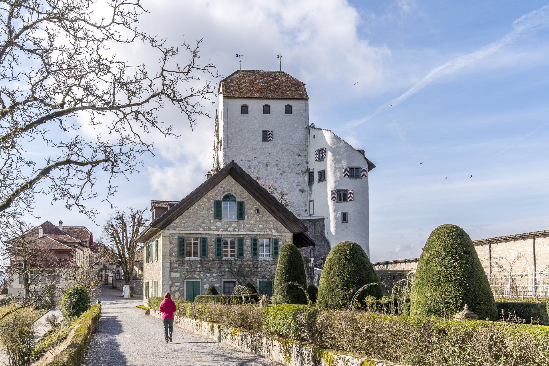
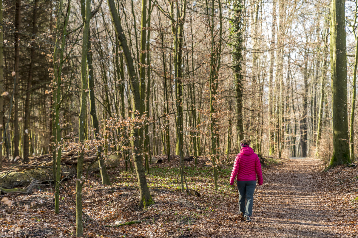
There are over 40 castles and palaces in Aargau. Two of them can be combined particularly well as part of a leisurely half-day hike. We start our excursion at Brugg train station and follow the signposted Aargauer Weg, which leads us on gravel paths through the Raiwald to the Habsburg. Although the Habsburg is not the largest castle in the canton of Aargau (this is the title of the Lenzburg), it is the ancestral castle of one of Europe’s most important dynasties – the Habsburgs. Along the way, boards provide information about historical sites and at the Habsburg you can learn more about the Habsburgs on an audio tour.
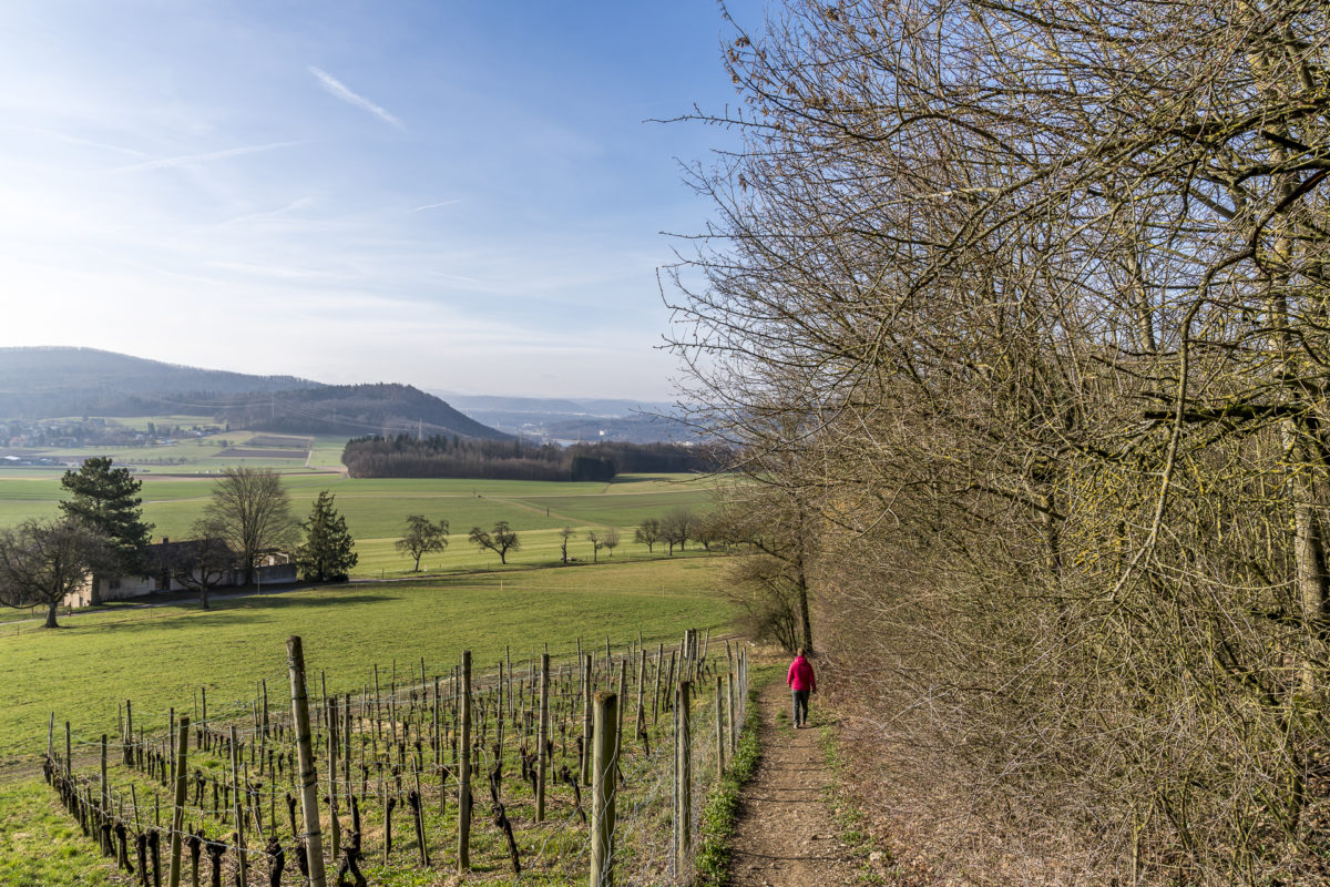
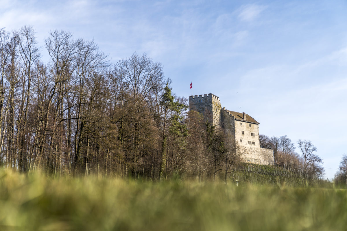
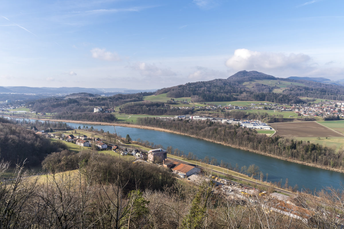
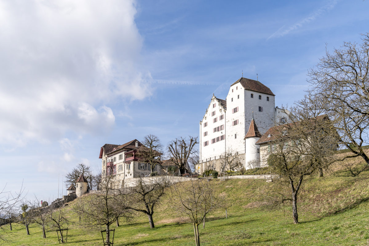
From the Habsburg, the hiking trail leads across open fields in the direction of Schinznach Bad. Here there is the possibility to break off the hike and relax in the thermal bath instead. If you continue hiking, you have to overcome the Chestenberg. However, the beautiful forest path makes it easy for us to conquer the altitude and from time to time a forest clearing opens up and offers a view of the lazily flowing Aare. Finally, Wildegg Castle is the jewel of the trip. Already in early spring you can guess how magnificent the baroque gardens will be in the summer months.
Practical tips and route overview for the Habsburg Way
The hike from the Habsburg to Wildegg starts at Brugg train station and runs parallel to the 2nd stage of the Aargauer Weg, which connects Aarau with Brugg (entire stage 23 kilometres, 6h hiking time). The route of our hike can be found on the following map. We hiked a total of 11 kilometers from Brugg to the Möriken-Wildegg train station. The tour includes an ascent of 400 meters in altitude and the pure walking time (without visiting the two castles) is just under three hours.
Day trip in Aargau #2: Birdwatching at the Flachsee
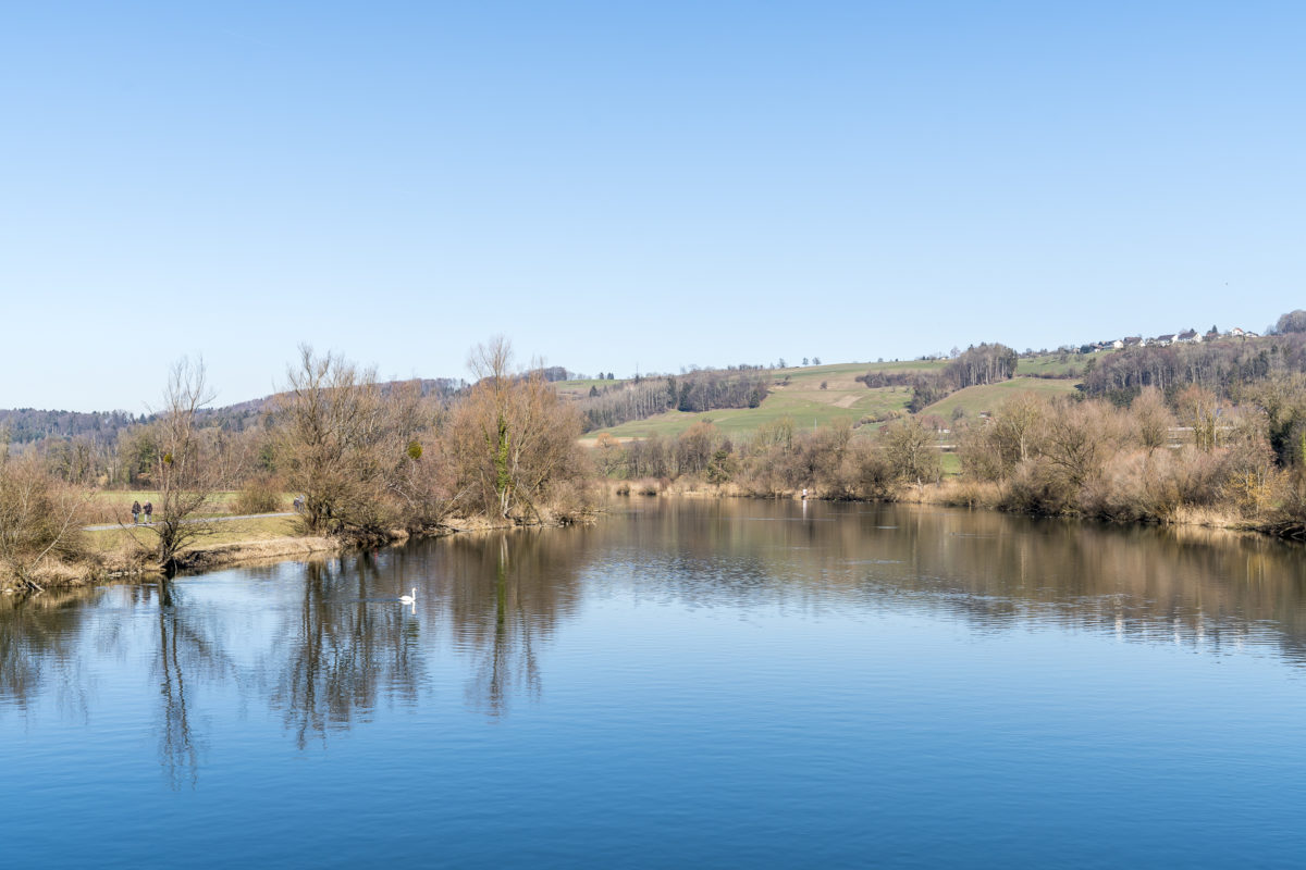
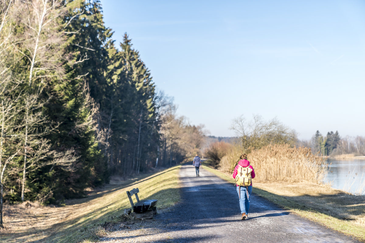
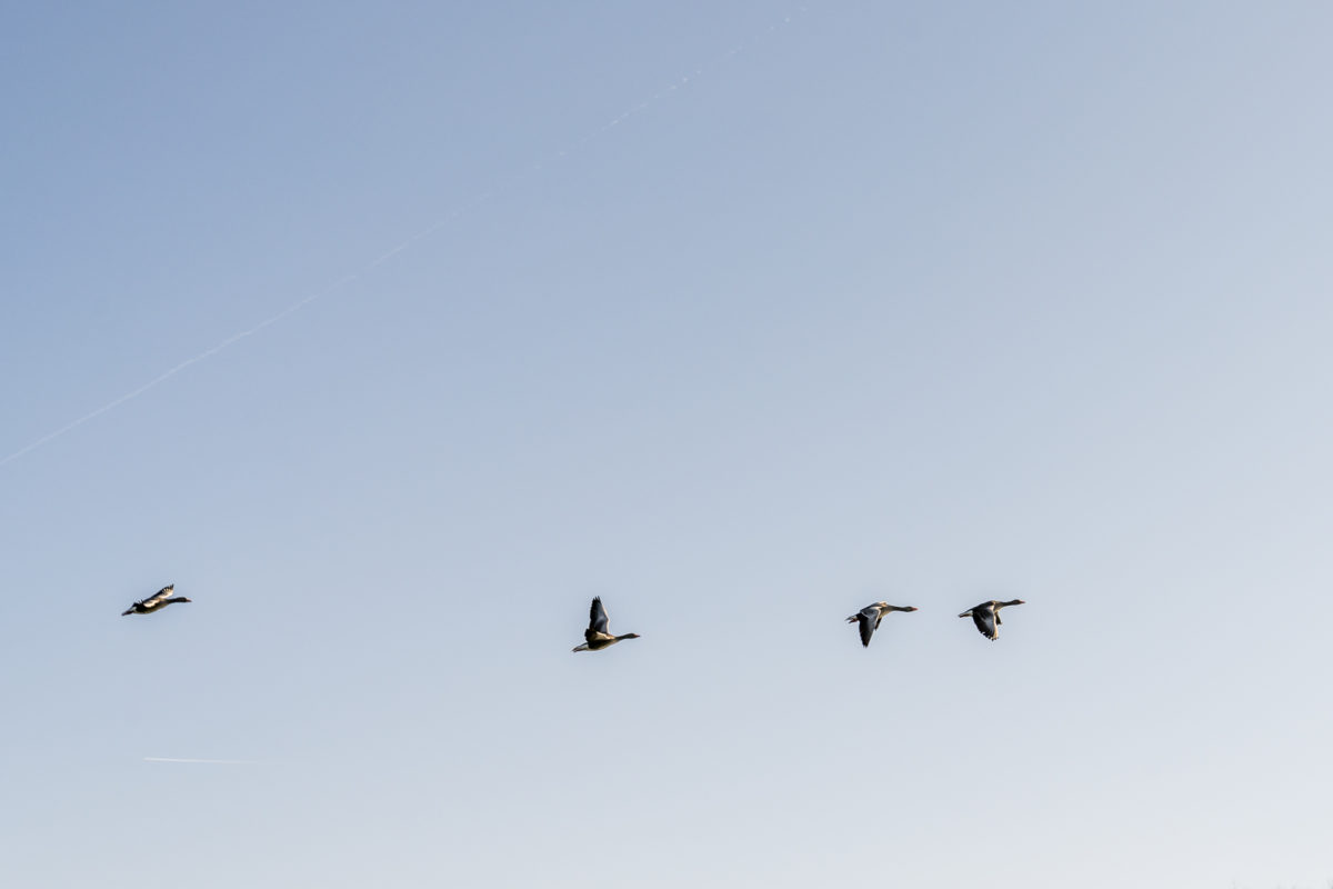
Hobby ornithologists and bird lovers are familiar with the Flachsee. The lake was created in the 1970s by the construction of a hydroelectric power plant. Due to its special characteristics, a breeding area for over 50 species of birds was formed in the years following the impoundment. Today, the area is a nature reserve of national importance. Depending on the season, different bird species can be observed. Thus, the Flachsee is an exciting excursion destination all year round. It’s worth taking binoculars or a good zoom lens with you – and you won’t be the only ones who explore the shallow lake well equipped. On the left bank you will find information boards that introduce the native bird species and those that rest here on their way through.

Practical tips and route overview for the circular hike around the Flachsee
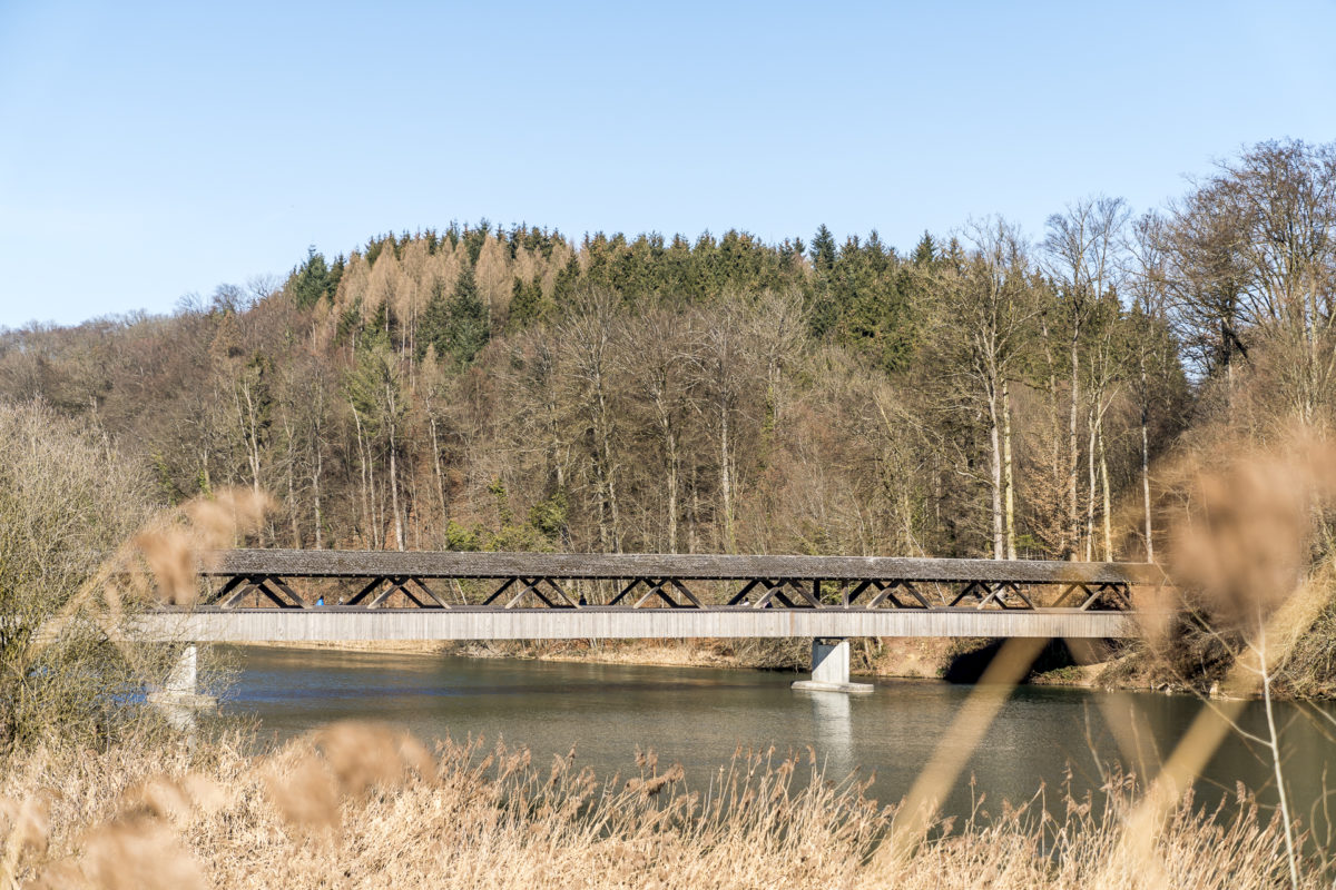
Our circular hike around the Flachsee also partly coincides with the Aargauer Weg – this time it is the 5th stage, which leads from Bremgarten to Muri. Our route can be found on the map below. We took off from the Aargauer Weg at the Dominilochstäg and hiked back to the starting point on the right side of the river. The distance of the Flachsee circumnavigation is just under 8.5 kilometres and is mostly flat. The time required is about two hours, if you attach the loop around the “Stilli Rüss”. The start and end points of the circular hike are located directly next to the Rottenschwil Hecht bus stop with a connection to Birmensdorf or Muri AG.
Excursion in Aargau #3: fine dining on the Freiämterweg
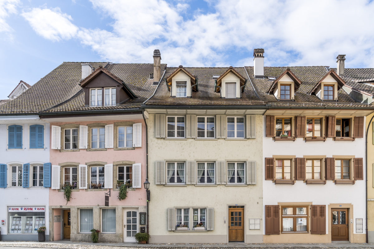
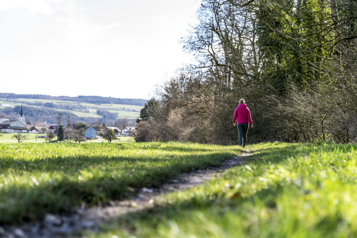
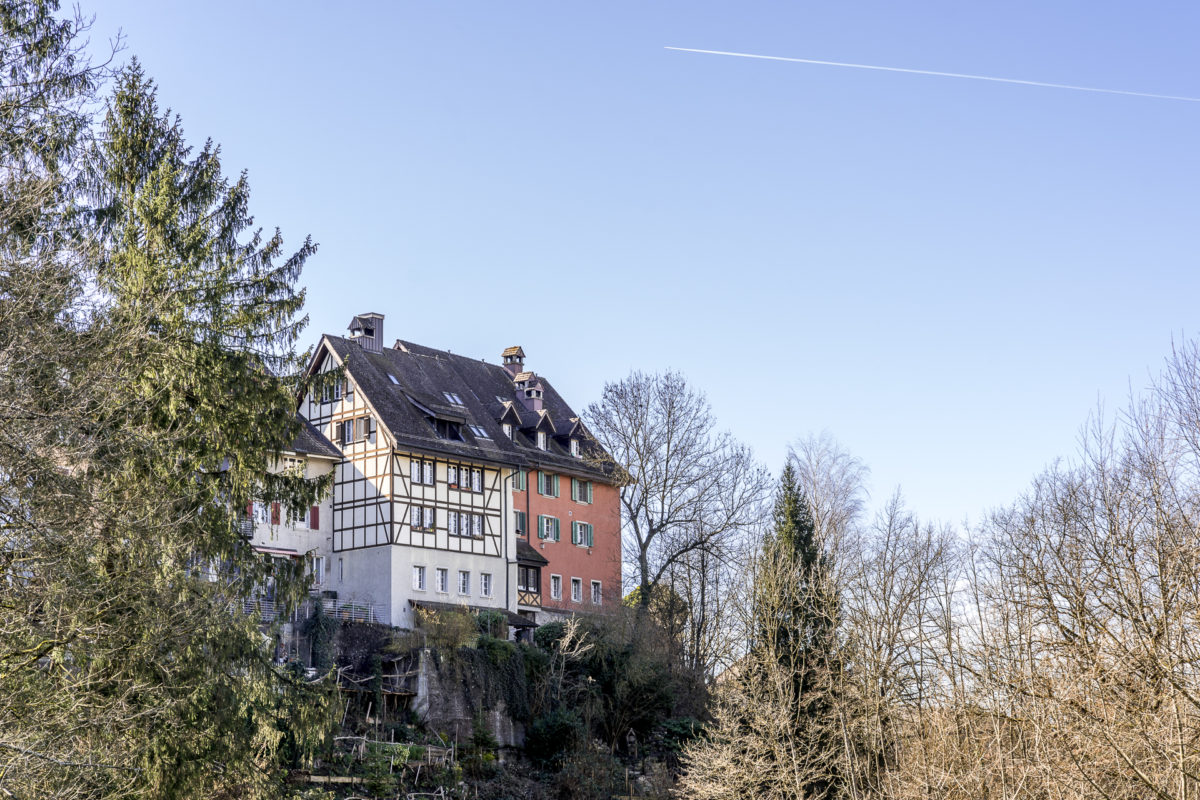
This tip includes all the promising ingredients for a great trip: a varied hiking trail, two pretty towns and a delicious stop for refreshments. At the starting point, I am already totally enchanted by how pretty the city center of Mellingen presents itself. From the Mellingen-Heitersberg train stop, you can’t guess what a pretty place is hidden in the valley at the back. The hiking trail continues over feather-light forest floor along the Reuss to Gnadenthal Monastery. This section is a really nice place to “forest bathe”.
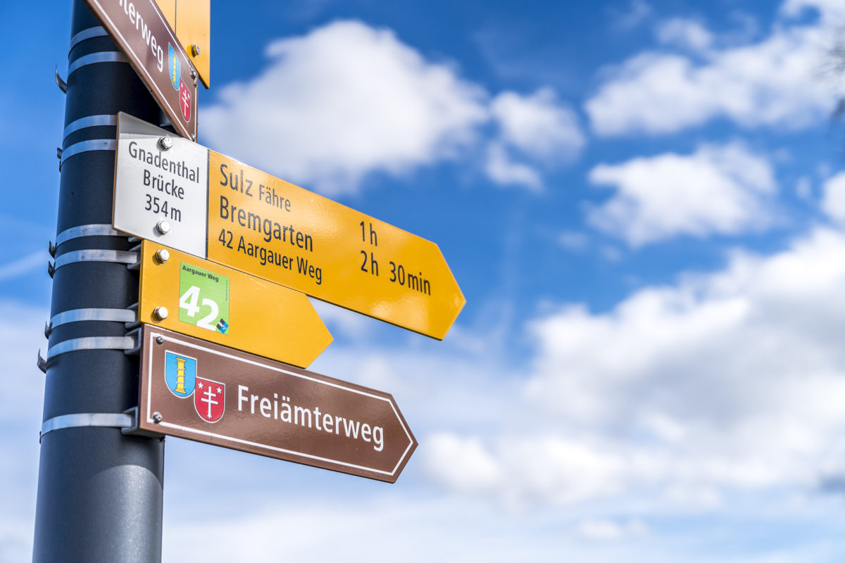

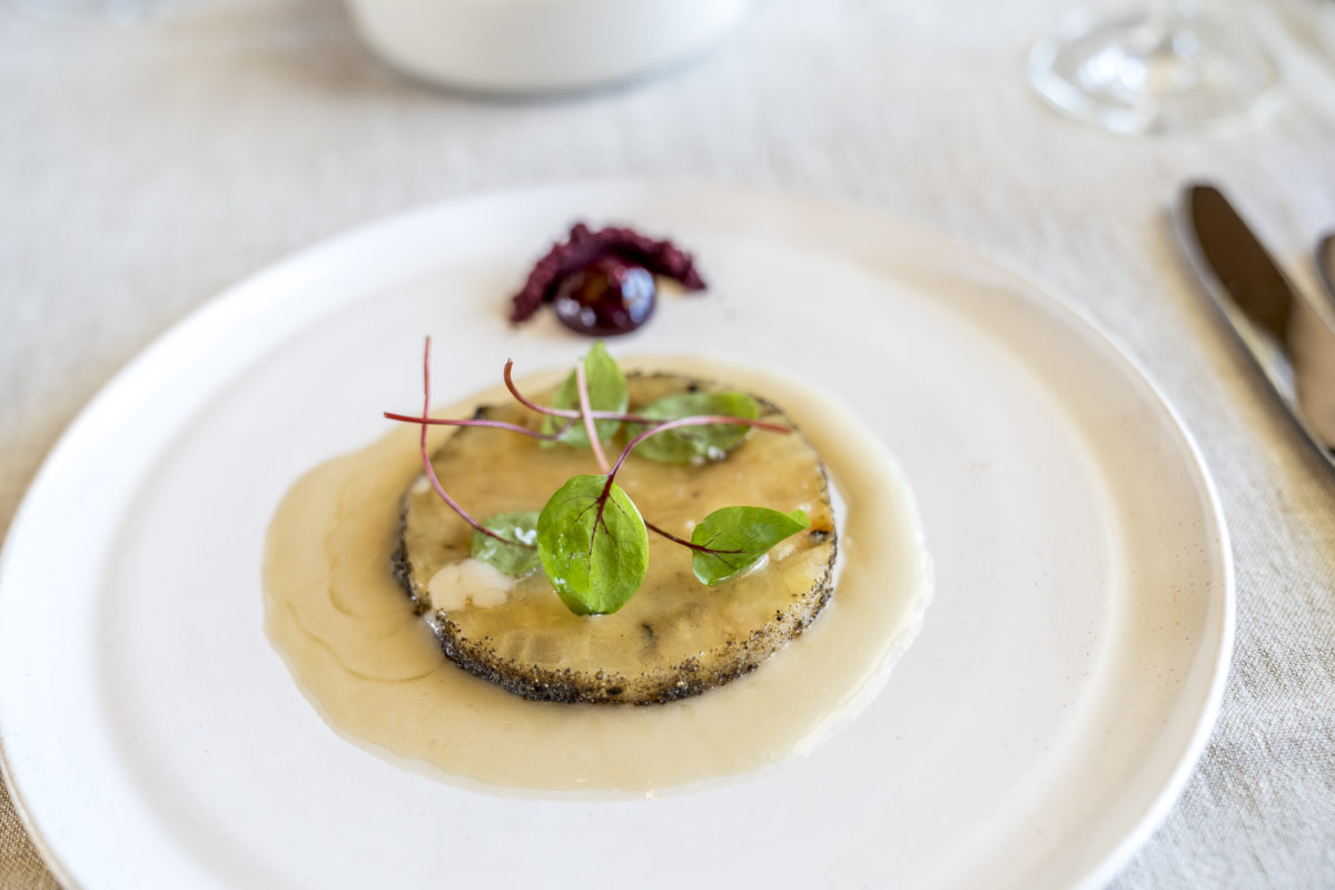
Halfway to our destination, we treat ourselves to a stop at the Fahr restaurant in Sulz (Künten). At first, I wonder how someone would come up with the idea of integrating a restaurant with urban flair into a rural housing estate on the Reuss. But it seems that word has quickly gotten around that the food here is skilful and with a twist. Last year, GaultMillau awarded the achievement with 14 points. In addition to à la carte dishes, there is a weekly changing 3- or 4-course menu at lunchtime. I opt for the 3-course version and am thrilled from A to Z! Great combinations, casual ambience, top service. And fortunately, nothing stands in the way of feasting. On the remaining kilometer to Bremgarten we burn the calories again.
Practical tips and route overview for the Freiamtsweg
The route of our hike can be found on the map below. On this tour, we hiked the entire route of the fourth stage of the Aargauer Weg (Mellingen – Bremgarten). The distance between the two towns is 14 kilometres and the hiking trail is mostly flat. In total, there is a moderate ascent of 220 meters in altitude to overcome. The walking time is about 3.5 hours.
The Fahr restaurant is located about halfway along the route and is only a few meters next to the hiking trail in Sulz bei Künten. Monday and Tuesday are closed days. On the other days of the week, the restaurant is open from 11 a.m. If you want to be sure of a place at lunchtime, I recommend making a reservation in advance.
Excursion destinations in Aargau #4: overlooking the Jura Park
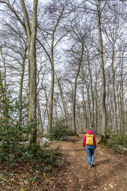
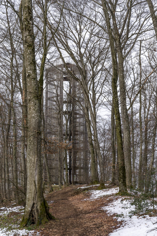
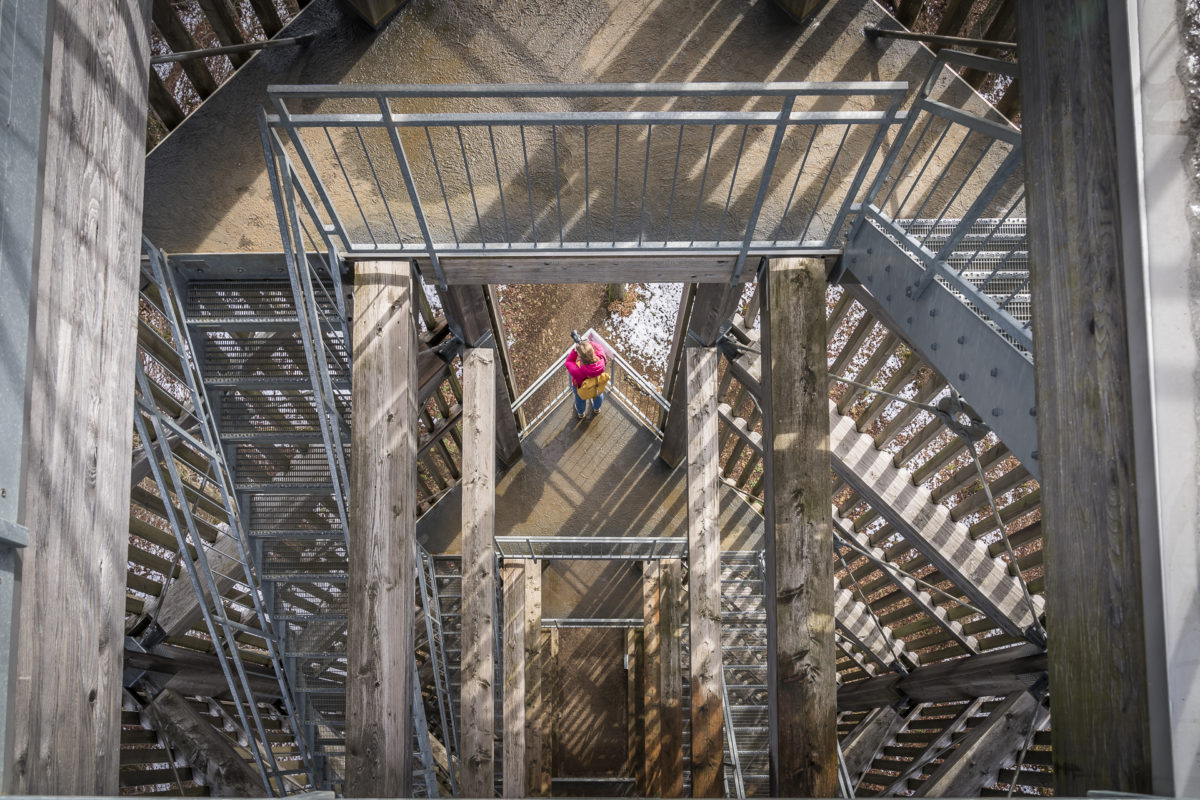
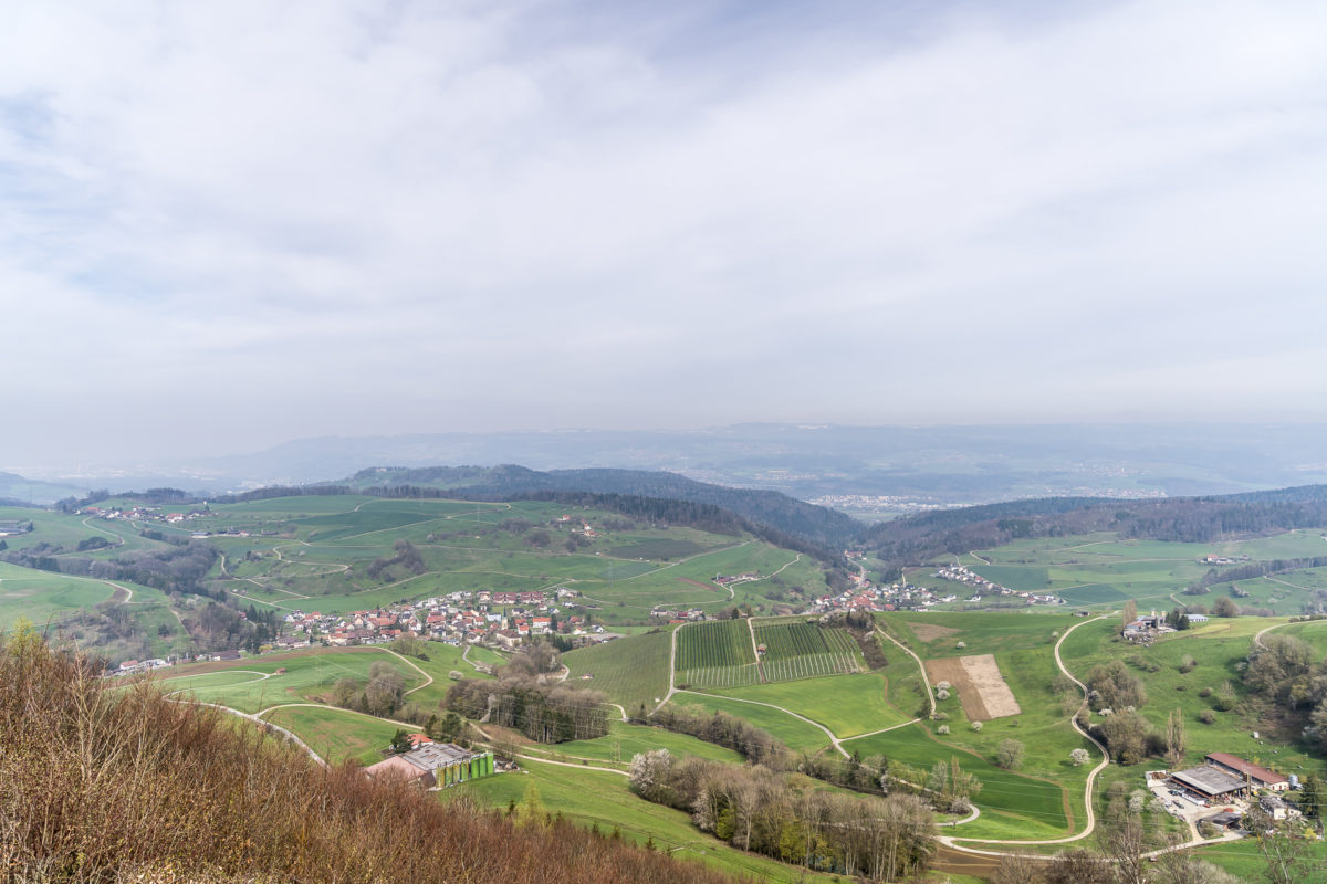
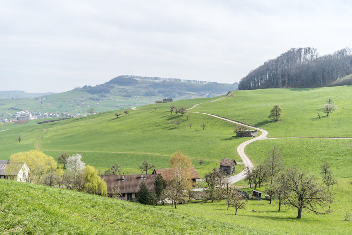
North of the Aare between Aarau and Brugg as well as Rheinfelden and Laufenburg, the Jurapark stretches as a Regional Nature Park of National Importance. Vast forests, small villages, blossoming high-stem orchards – the Jurapark is virtually the lungs of the canon of Aargau and a destination for all those who are looking for a few hours of pure nature. A beautiful view over the region is offered by the Cheisacherturm between Gansingen and Sulz. Absolute silence is not to be found here either. On the first kilometer of the hiking trail, we are accompanied by the noise of shooting from a nearby shooting house. If you are travelling with children, you can combine the short hike to the Cheisacher Tower with the Perimukweg Cheisacher. In total, there are three Perimuk trails in the region and puzzles are waiting to be solved on each loop trail.

Practical tips and route overview for the trip to the Cheisacherturm
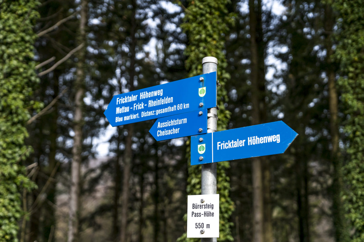
The hike to the Cheisacherturm starts at the Bürersteig Passhöhe post bus stop (connection Brugg – Laufenburg) and from there follows the Fricktaler Höhenweg to the observation tower. At the tower, there are various possibilities in which direction the hike can be continued. We decided to descend to Gansingen. In this variation, the distance is a total of 10.5 kilometers with an ascent of 220 meters in altitude. The time required for the hike is between 2 and 2.5 hours. In Gansingen there is an hourly post bus connection back to Brugg on weekends.
Sight in Aargau #5: visit an exclave
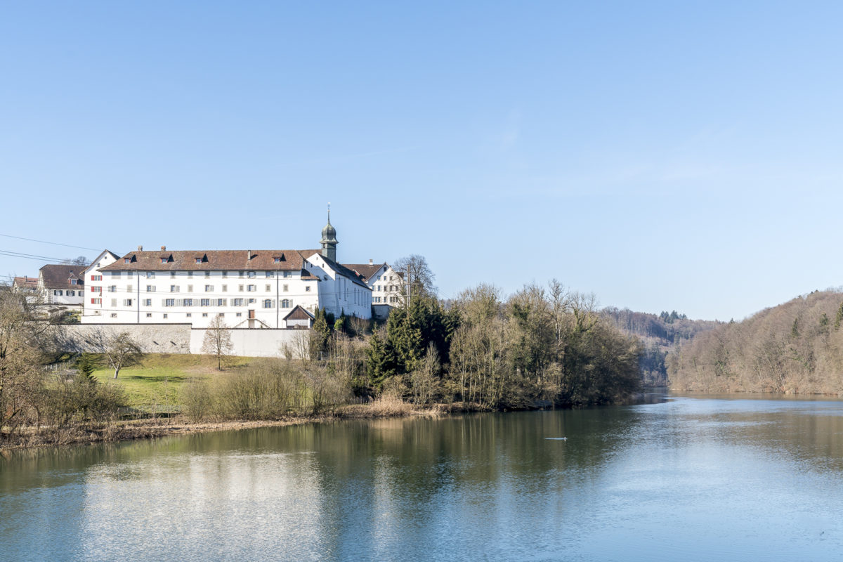
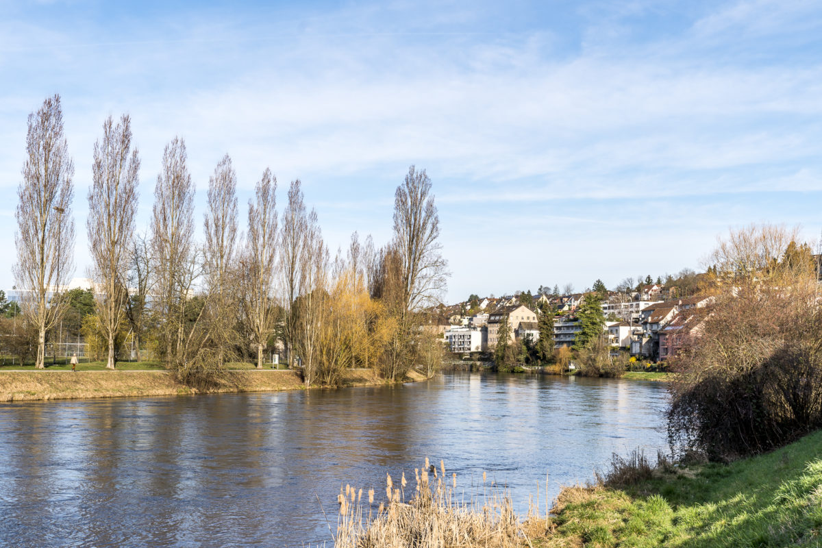
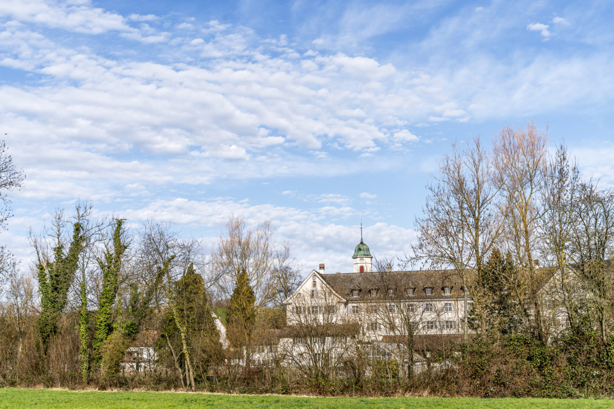
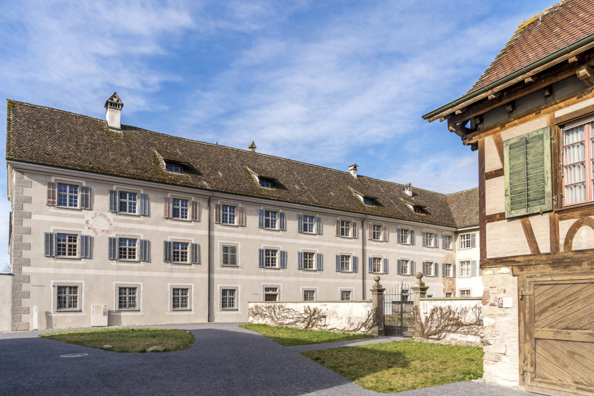
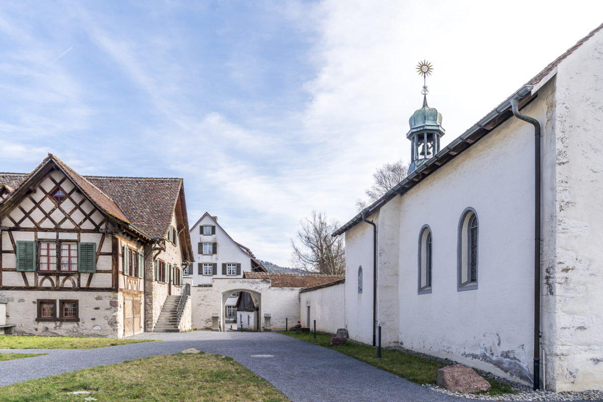
Destination number 5 takes us to a place in Aargau that is surrounded on all sides by Zurich. “How can that be?” you might ask. Fahr Abbey in the Limmat Valley is a Benedictine monastery and has belonged to Einsiedeln Abbey since its foundation in the 12th century. When the canton of Aargau was founded in 1803, the area around Fahr Abbey was assigned to the canton of Zurich. Since then, the monastery has been an Aargau exclave and at the same time a green oasis in the densely populated Limmat Valley, which is crisscrossed by infrastructure. From spring to autumn, there is a ferry service between the Fahr Monastery and the Schlierem Zelgliweg – a miraculously decelerating crossing in the middle of this area, which is primarily driven by hectic. This excursion destination shows that even in a landscape that is actually “known” to us and perhaps at first glance disparagingly classified as “unattractive” or “agglovaine”, there is a lot of surprising things hidden that can be explored as part of a Sunday excursion.
Practical tips and route overview for the trip to Fahr Monastery
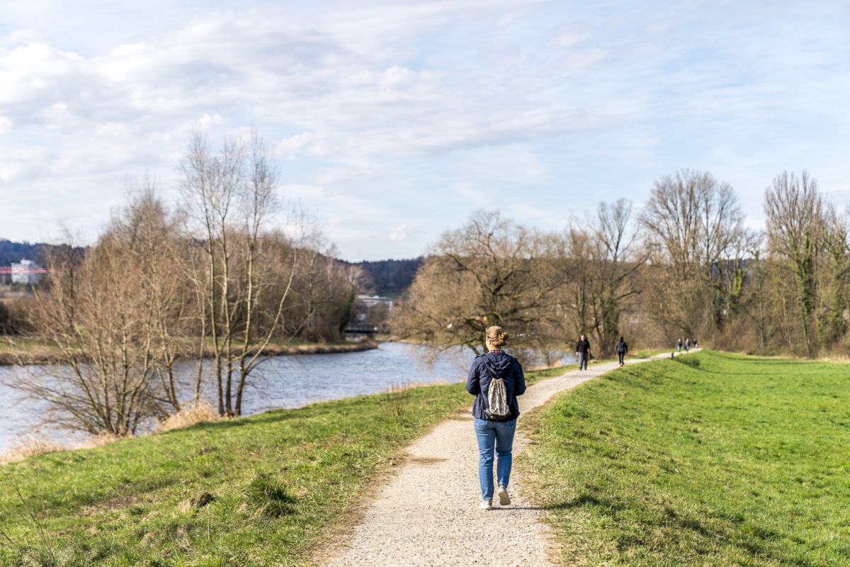
We started this hike in Zurich West and followed the Limmat riverside path from there to the Glanzenberg S-Bahn station. Basically, the Limmat Embankment Trail is designed as a circular route that leads back to Zurich on the opposite side of the Limmat (a total of 16 kilometres). However, since the signposted cycle path runs on the left side of the banks of the Limmat at the same time, it can get crowded there on nice weekend days. For this reason, we preferred to take the S-Bahn for the way back. The distance of our shortened version is 8 kilometers. The Limmat riverside path is mostly flat and barrier-free (wheelchair accessible).
The restaurant “zu den zwei Raben” at the Fahr Monastery is open Wednesday – Sunday from 10:00 a.m. The secluded ferry garden opens from 2:00 p.m. on weekdays and from 11:30 a.m. on weekends (weather permitting). In the monastery shop you can buy sweet cider, monastery wine, herbal brandies, herbal syrup and herbal tea (note: the monastery shop is only open in the afternoon on Saturday and is closed on Sunday).
For more ideas and inspiration for your next trip, check out my list of 99 great Swiss destinations.


Leave a Reply