

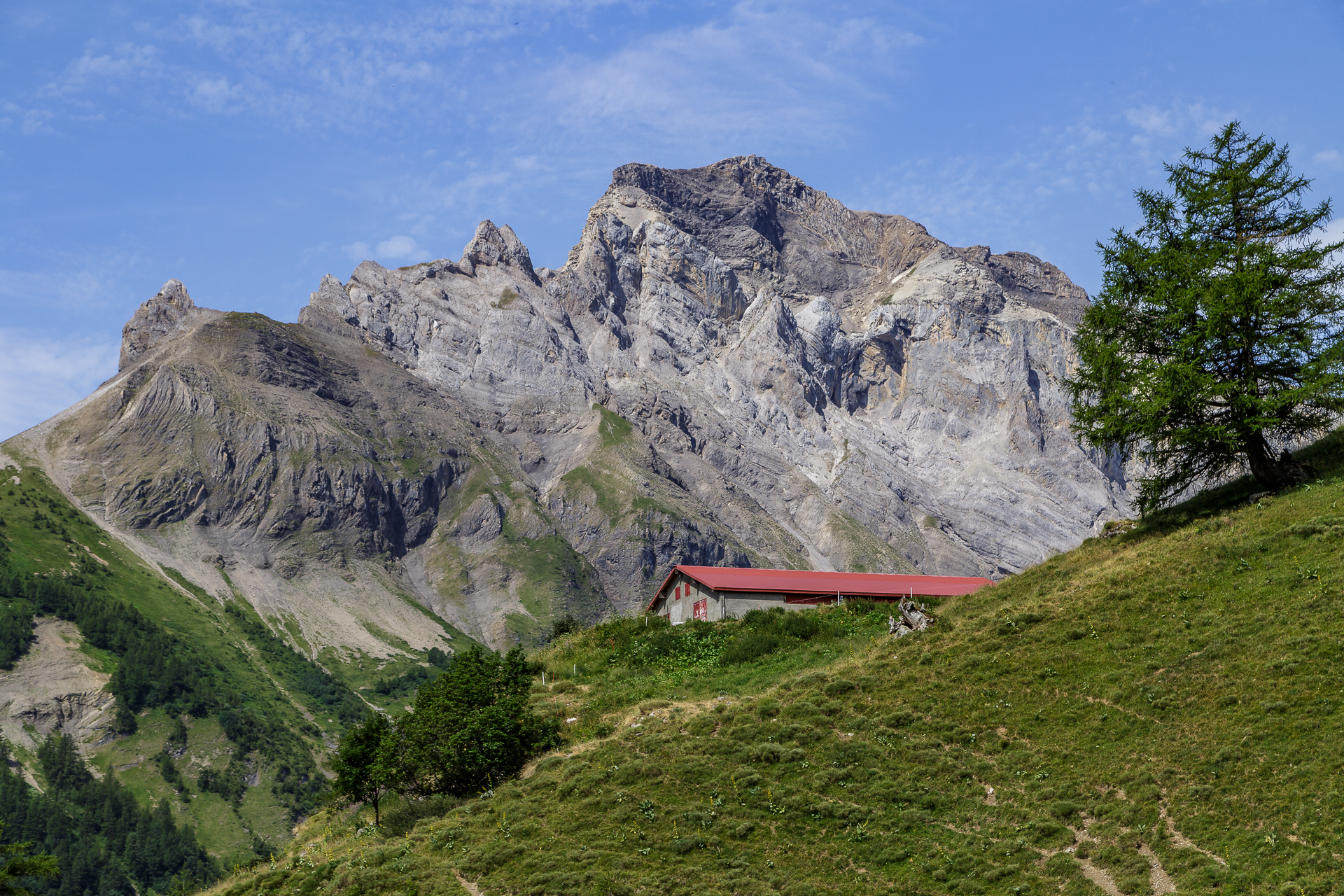
Bisse du Ro – Suonen hike from Lac de Tseuzier to Crans Montana
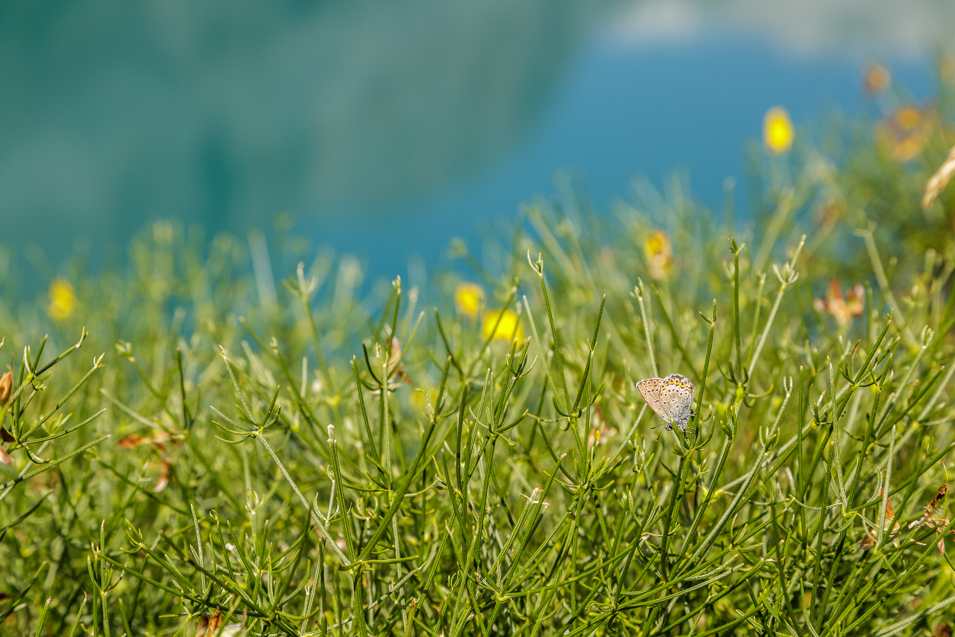
Bisse hikes are attractive in the current weather conditions. The refreshing water bubbles happily next to the hiking trail and provides a pleasantly cool breeze. On our trip to Crans-Montana, we therefore concentrated on the most beautiful bisse hikes that the area has to offer. Here on the southern slope, the historic waterways played an important role for the Valais mountain farmers. Without the ingenious and sometimes spectacularly built network of canals, many fields in the Middle Ages would have withered mercilessly in the scorching summer sun. Daring structures were used to create watercourses along the steep rock faces. One of the most spectacular bisses is the “Bisse du Ro” above Crans-Montana. What makes it special is that this bisse was shut down in the middle of the 20th century and moved to underground canals. Today, however, a no less adventurous hike leads along the former course of the bisse, which requires a head for heights and surefootedness.
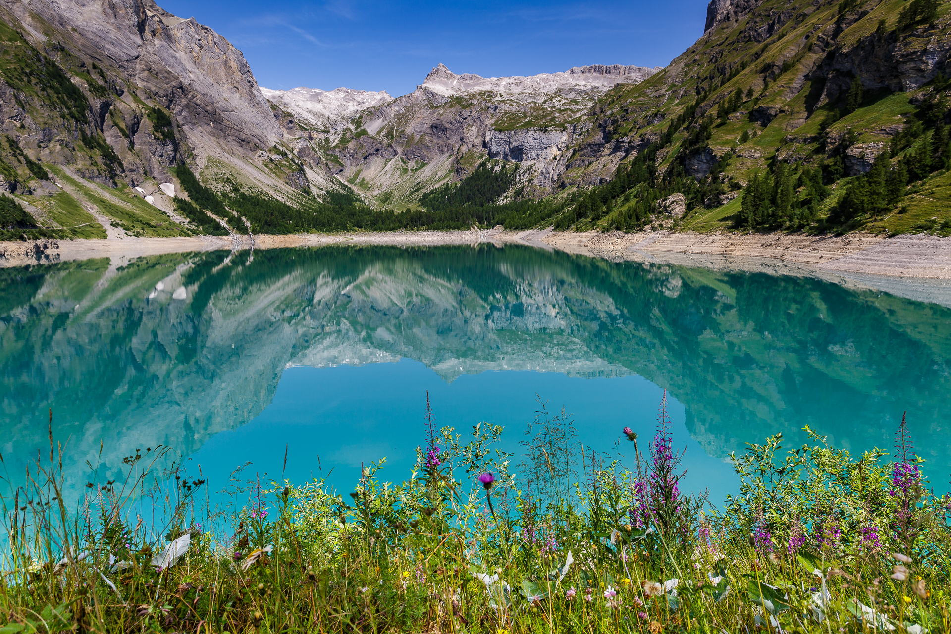
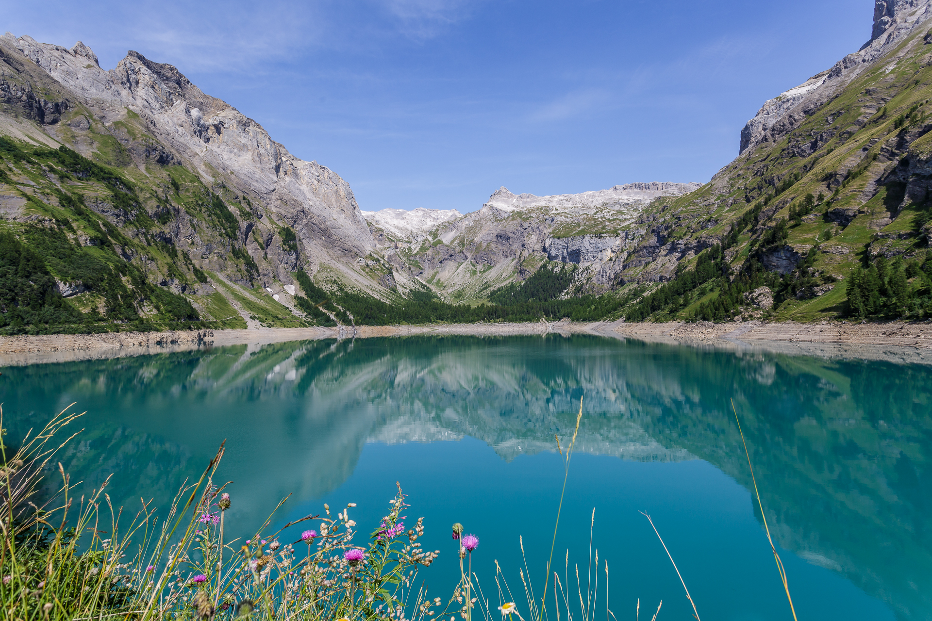
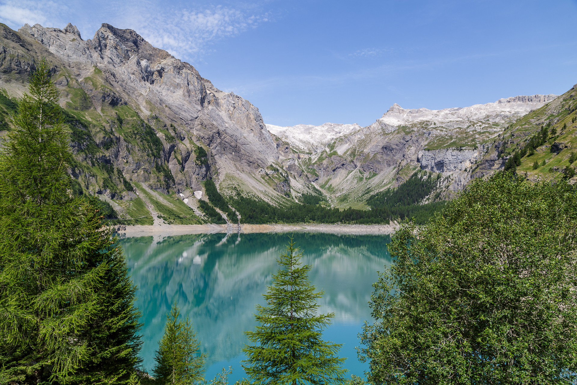
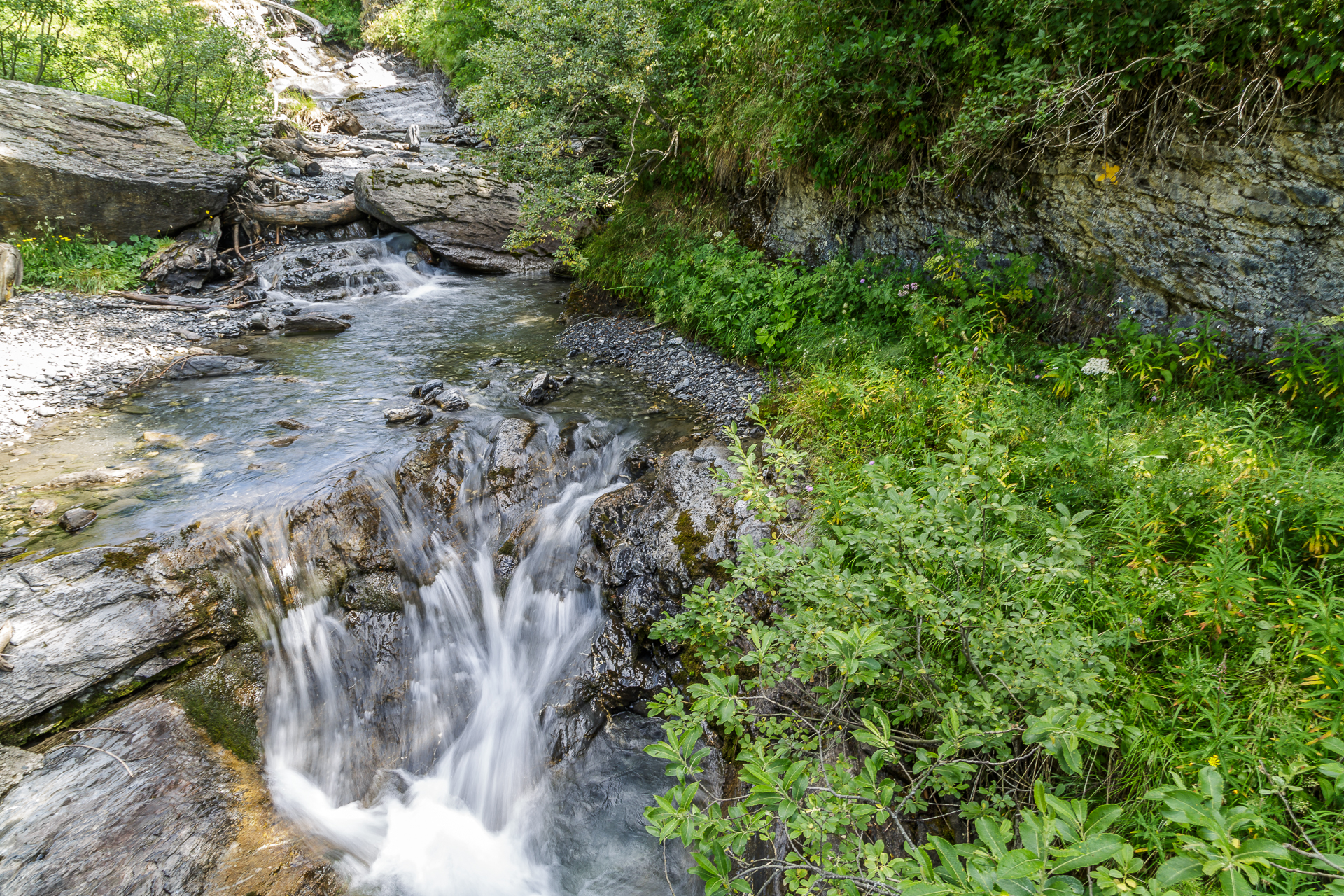
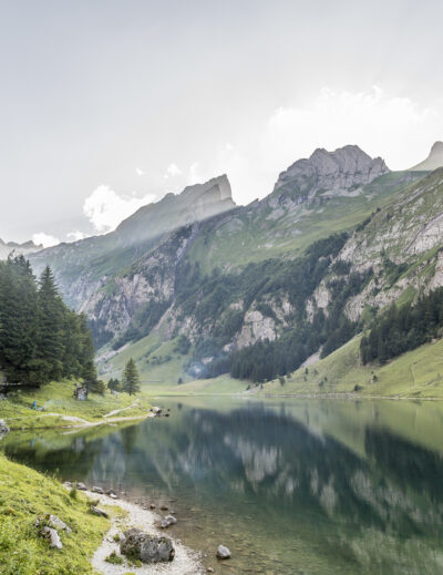
Postcard idyll I Lake de Tseuzier
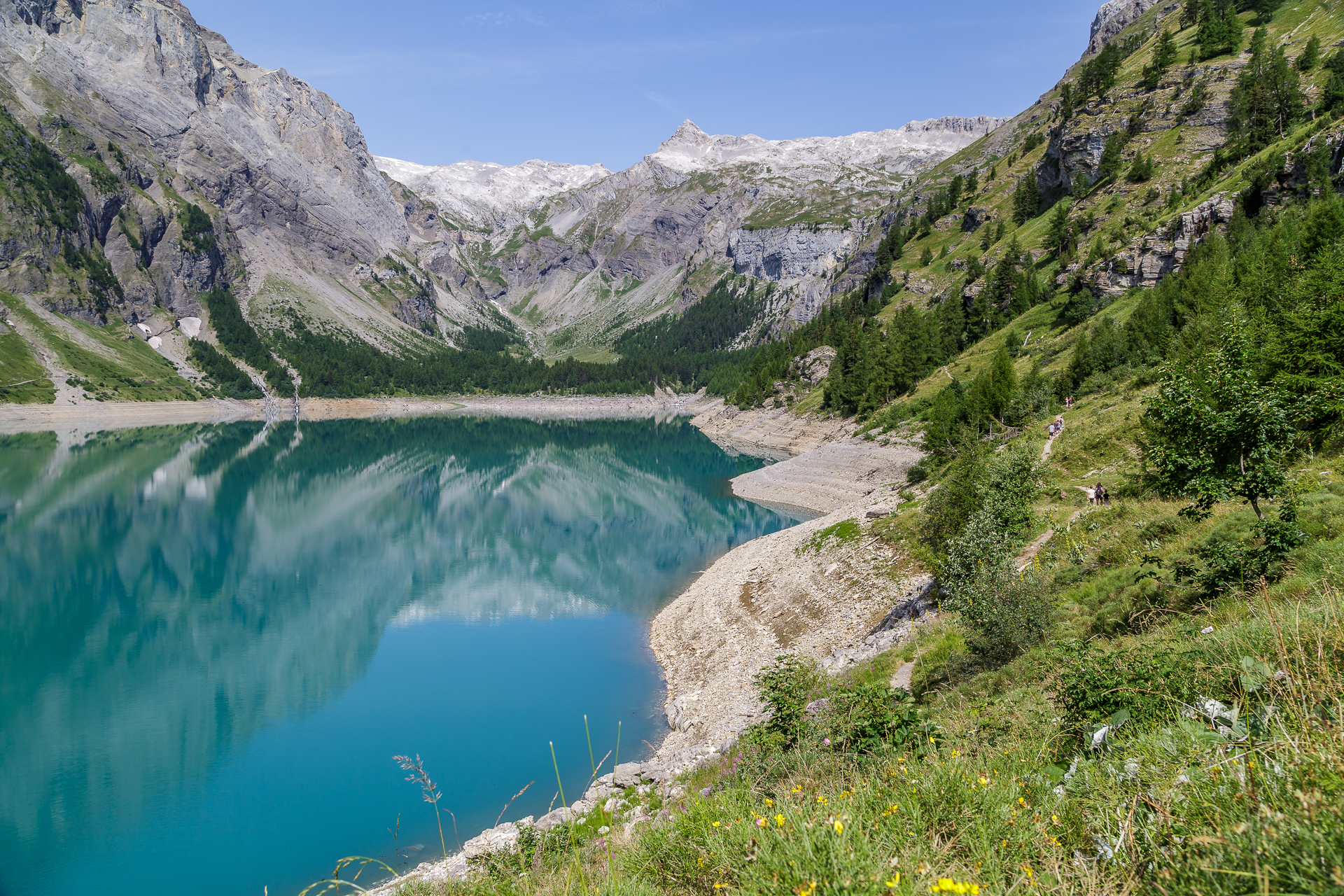
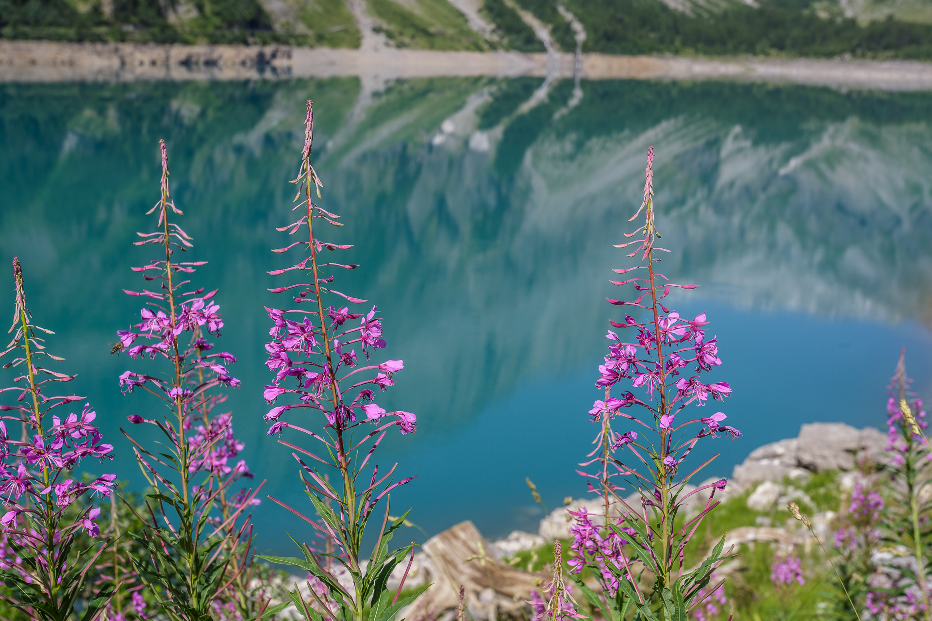
The hike along the Bisse du Ro can be started either in Crans-Montana or at the top of the Lac de Tseuzier. We opted for the latter. The post bus ride to the reservoir already provides the first thrill of the day. “Keep your head down,” shouts the chauffeur at the first tunnel, where the post bus just barely fits. Once at the top, the path first leads us over the 150 m high dam wall to the opposite side of the river. The lake currently has a bit little water, but is still a dreamlike sight with its turquoise shimmering water and the purple flowers on the shore.

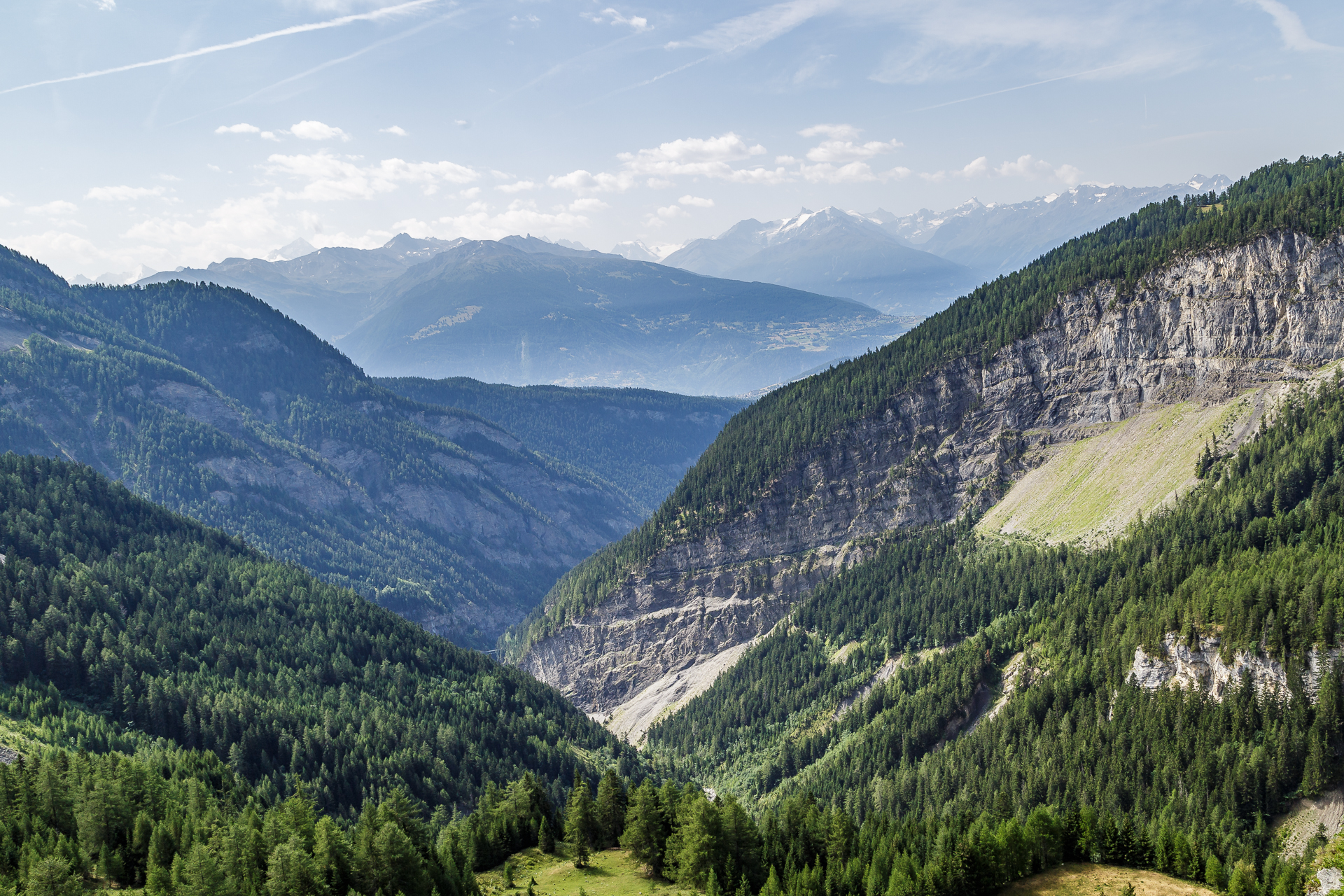
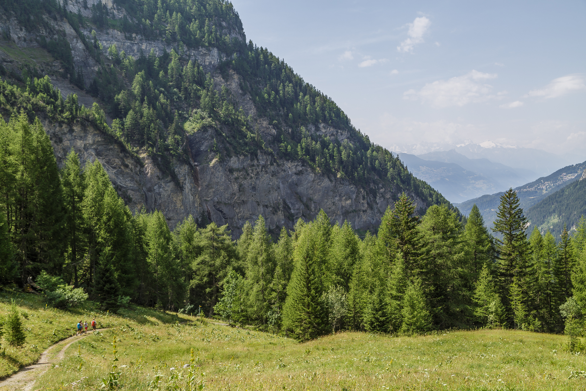
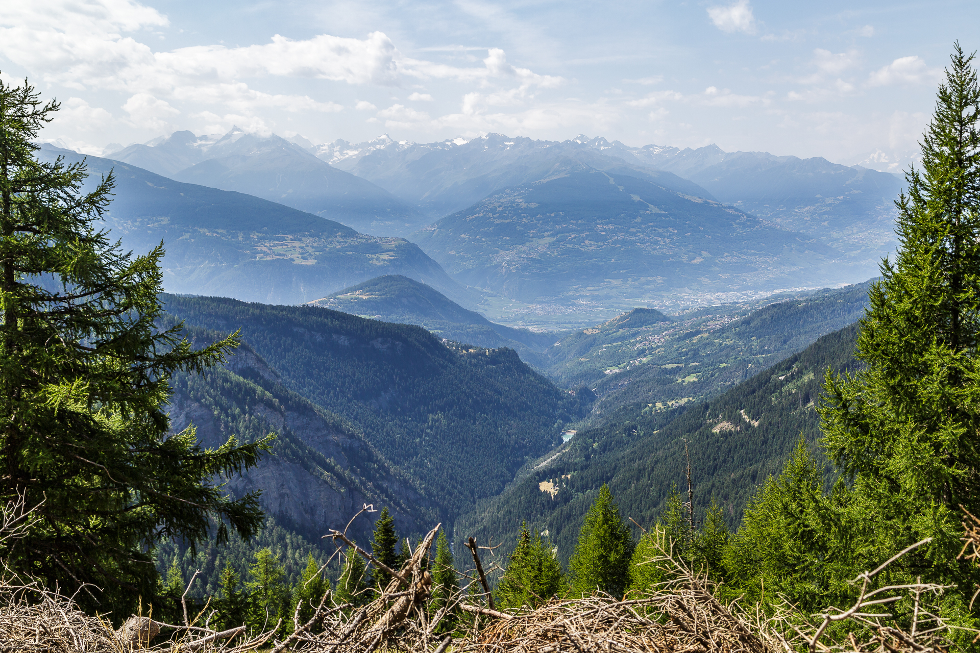
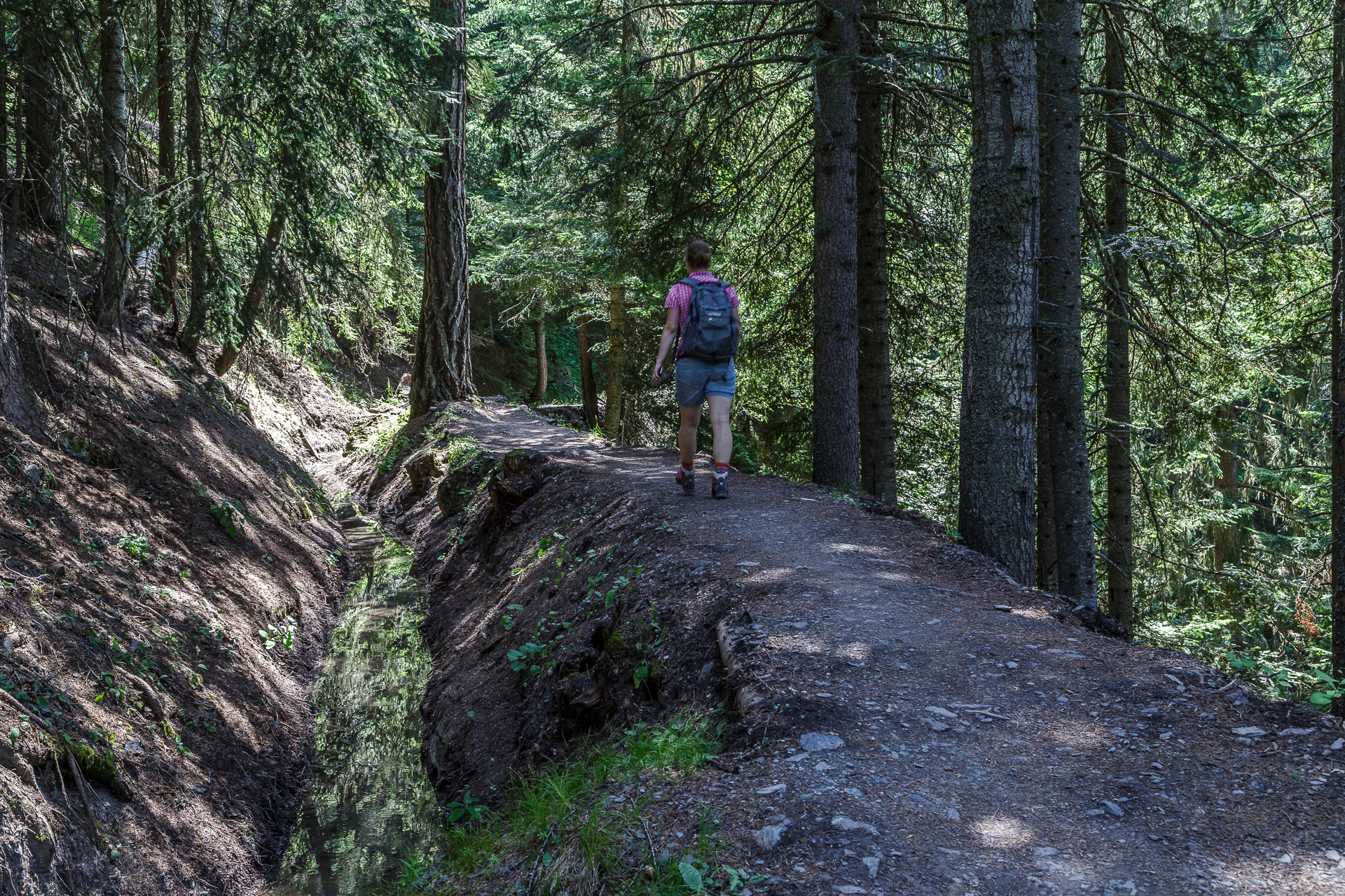
Shortly after we have left the lake behind us, there is a turn-off. Here you have the option of hiking down the valley in the direction of the Bisse du Lens or to maintain the altitude difference for the time being and follow the path to La Comalire along the tree line. If you choose the upper path, you will be rewarded with beautiful views towards the Rhône Valley. At the level of the “Ertentse” stream, the two paths cross again.
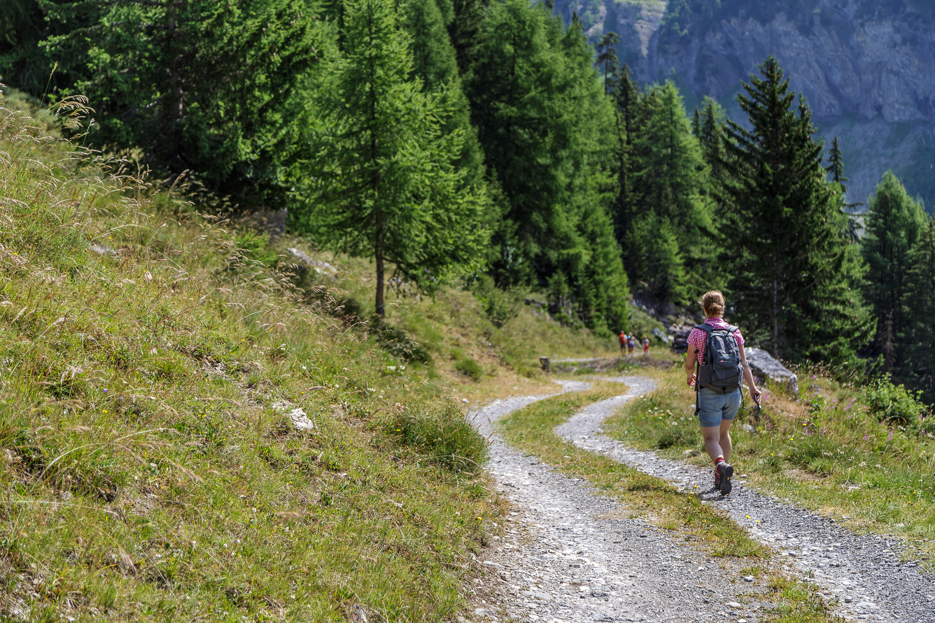
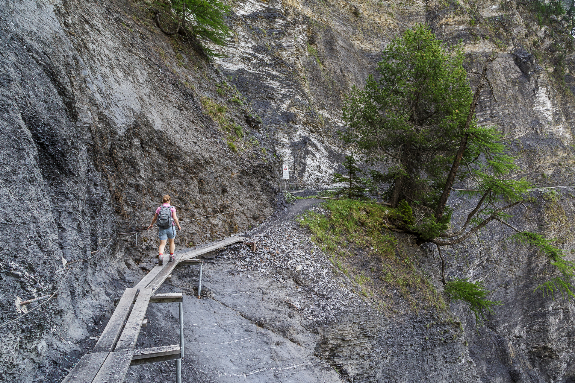
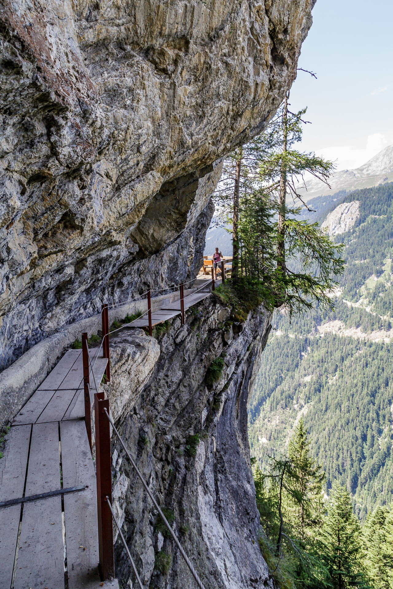
Thrills on the most beautiful bisse hike along the Bisse du Ro
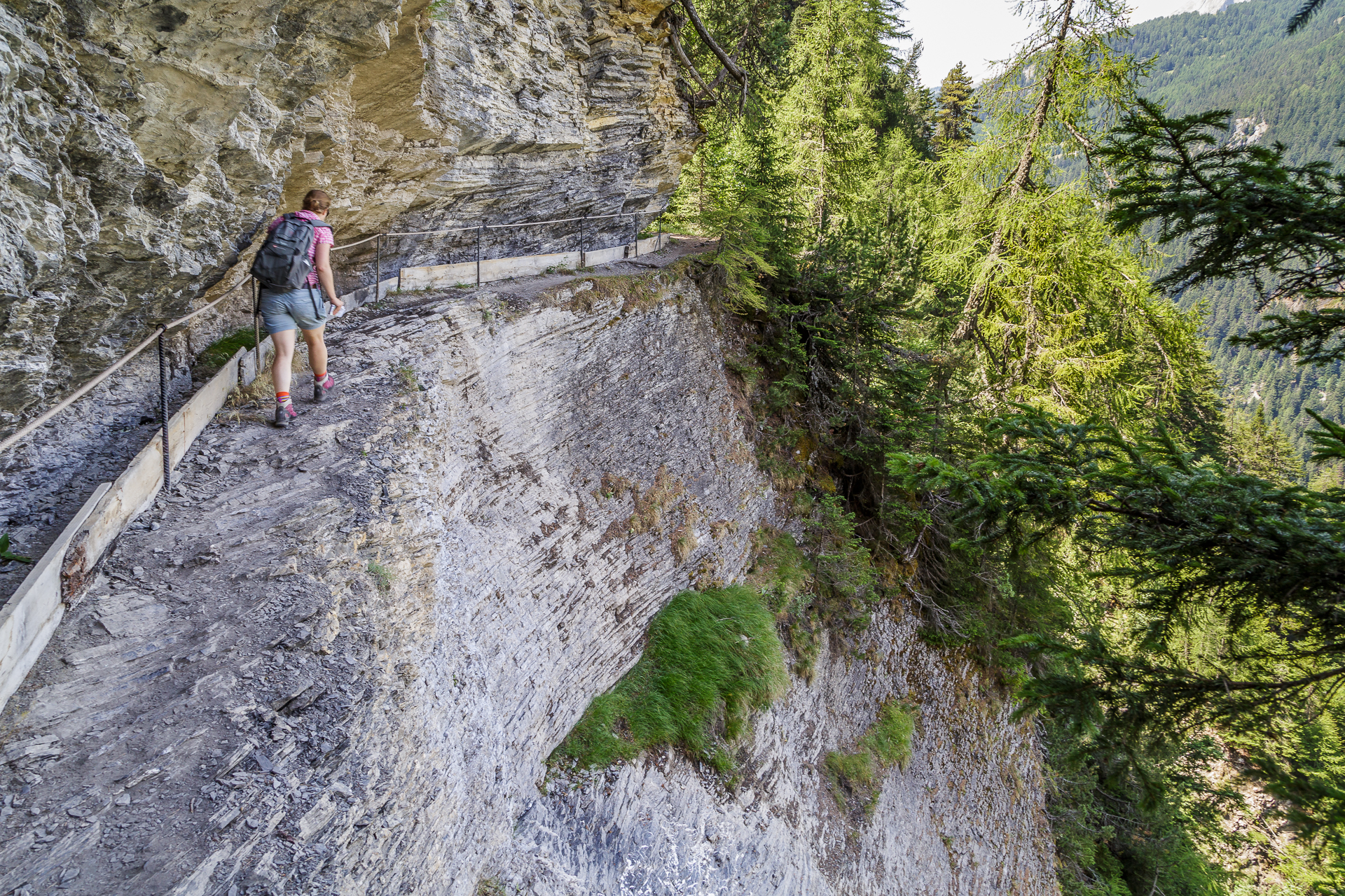
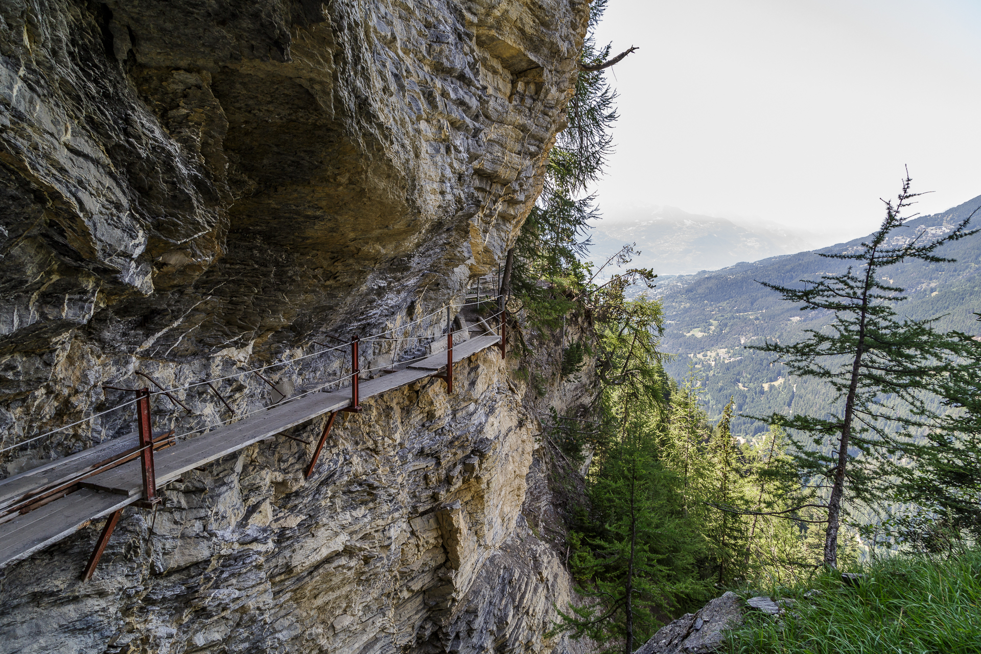
After a few bends through the forest, you reach the Bisse du Ro. I’m not 100% free from vertigo and I’m a bit of a scaredy-cat. That’s why I had slight doubts in the run-up to the hike whether I would survive the sloping parts without nerves fluttering. But that wouldn’t have been necessary. The hiking trail is actually very narrow and it is advisable to walk cleanly step by step and not to look down on the steeply sloping side if possible – at least if you feel the first signs of fear of heights. It gets interesting at the rocky passages, where we bypass the rocky ledges on narrow wooden boards in a stooped position. This is impressive when you consider the means and dangers with which this watercourse was built and maintained in the 14th and 15th centuries.
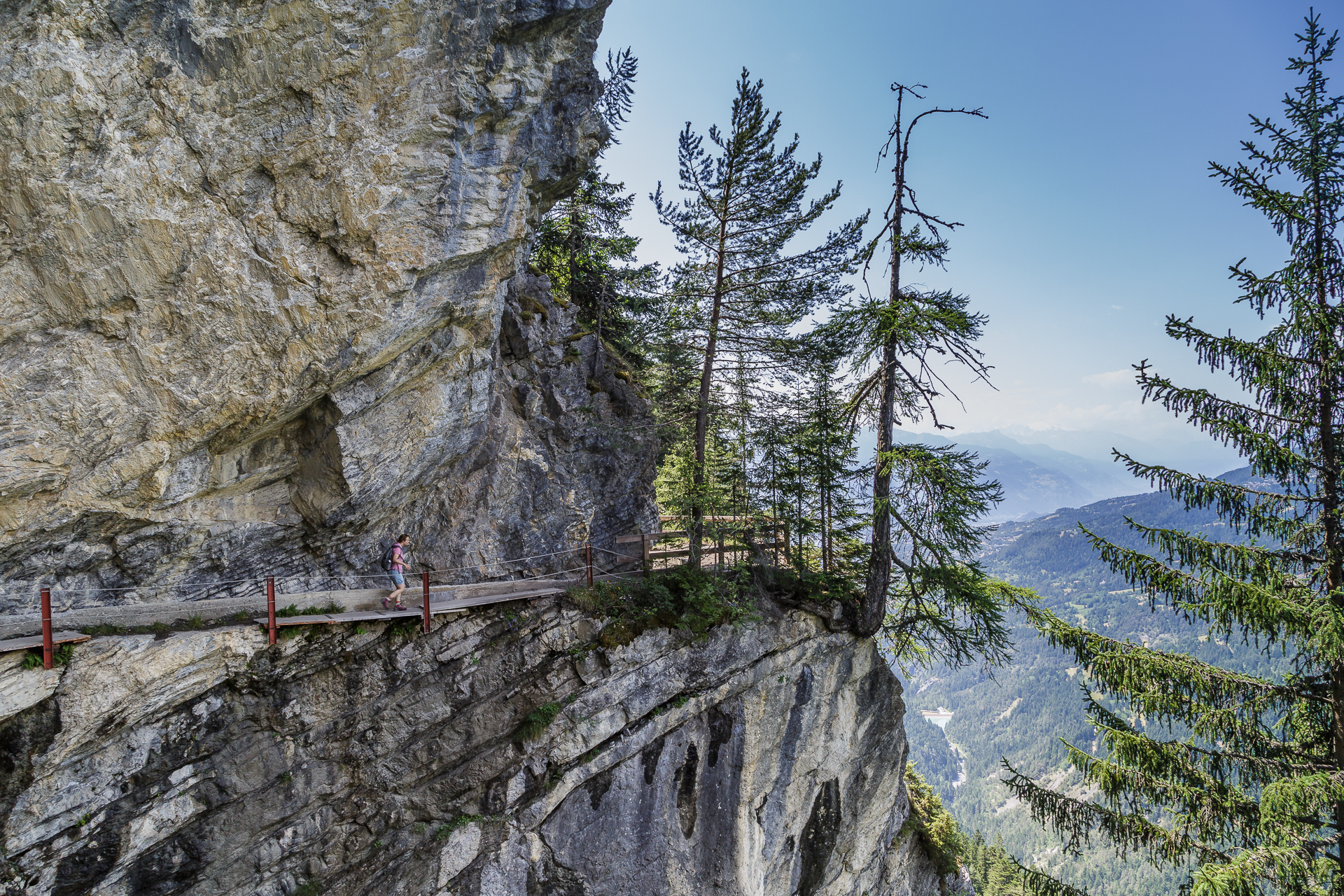
The lower part of the Bisse du Ro has been restored in recent years. Here there is even some water flowing through the canals above ground, but the path is far less adventurous than the upper section. We reach Crans-Montana much too quickly and are almost a tiny bit disappointed. I had already prepared myself for the fact that this tour would be a psychological challenge again and it was actually totally easy peasy. Either I have prepared myself psychologically so well or my annoying fear of heights can actually be educated. Conclusion consistently positive. A varied hike that offers the right mix in terms of views and adventure.
Practical information about the Bisse du Ro bisse hike
The map shows our route. The route is about 11 km long, includes an ascent of 330 meters and a descent of 625 meters in altitude. The pure running time is 3 hours. The starting point at the Barrage du Rawil at Lac de Tseuzier can be reached from Sion and/or Crans-Montana by post bus with a change in Botyre. The earliest train departs from Sion at 09:45 and arrives at the dam at 10:30. At the destination Crans-Montana there are regular post bus connections to Sion and a funicular connection to Sierre.
Hike Lac de Tseuzier – Bisse du Ro – Crans Montana: Key data of our tour
| Starting point | Bus stop Rawil, Barrage |
| Length | 11.2 kilometers |
| Elevation gain | ↗ 329 m 625 m ↘ |
| Duration | 3:00 p.m. |
| Destination | Bushaltestelle Crans s. S., Cable Car |
I was travelling in Crans-Montana at the invitation of Frosch Sportreisen. The Frosch Sportclub Carlton offers active, sporty people the ideal environment to explore the area guided or individually by bike and on foot. We did this hike on our own. The hiking guide from the sports club offers a guided tour that starts at the top of the Bella Lui and from there leads to Crans-Montana via the Bisse du Ro with a few hairpin bends.
As always, my readers can be sure that I always represent my views and enthusiasm.

Leave a Reply